free to be able to rate and comment on reports (as well as access 1:25000 mapping).
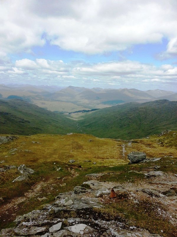
It was time for me to up my game and start tackling multiple summits. Being a slower mover, I got up just before 6am and was at the lay by just after 7am. Negotiating the boggy field to the underpass was the first challenge, although not before marveling at the multitude of peaks staring down on me.
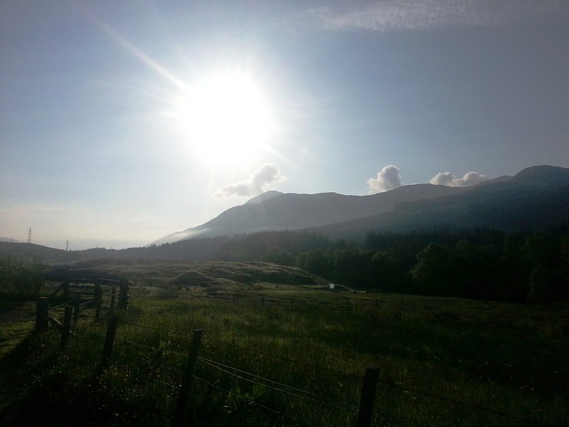 Early morning blaze over Ben More
 by
MekonVengence, on Flickr
I took a visual marker on what I thought would be An Caisteal route and headed off.
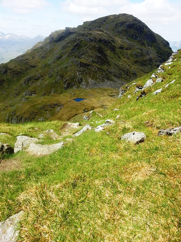
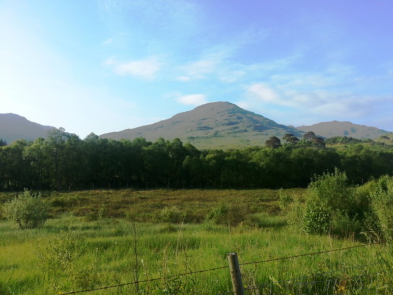 Sron Gharbh
 by
MekonVengence, on Flickr
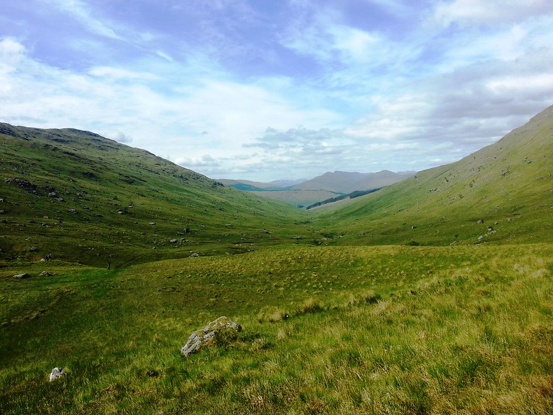
The ramble up the slope of An Caisteal was tough work first thing in the morning. I had expected it - and knew the first 700m to Sron Gharbh would be tough going. As it turns out only getting up to 600m is tough going. One final word on the way up, the fence gate is toast, just a wire mesh at present. It was awkward to cross - I didn't see a stile any further up. Best stay on the track until through the gateposts, and then turn right and hand-rail the south side of the fence, at least you will be on the right side of it.
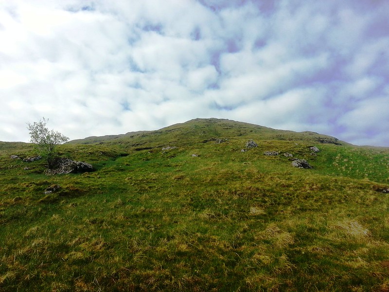 Sron Gharbh falsey
 by
MekonVengence, on Flickr
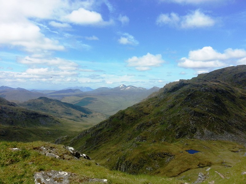
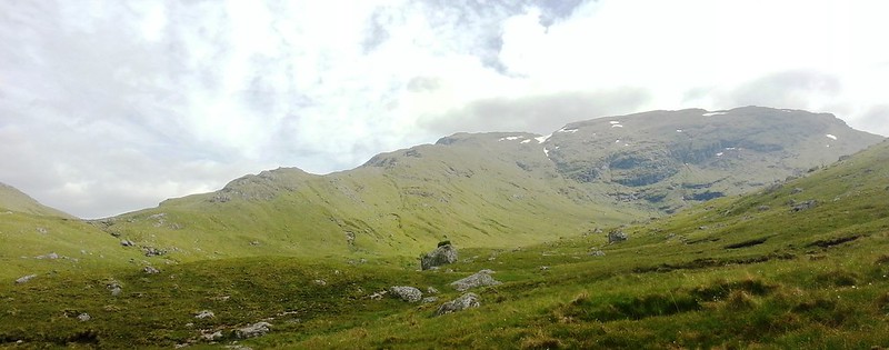
After the false summit at 600 the ridge path was clear, and the going become easier. It was good reward for getting up and over that false summit, I felt myself at times perched perilously on grassy slopes as I tried to find the best way up that was also not a fly & midge pit - fortunately it was not wet. Insect swarms aside, I would have enjoyed that ramble, but with the insects having me for breakfast, it was less fun. Stop for a break means get eaten, keep moving means get knackered.
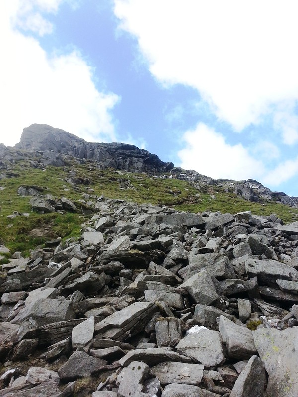
I started up the path keen to get onto twisted hill, An Caisteal appears and what a beautiful sight it is. Going was quick, covering most of the ridge in 30 minutes to about 800m. Dragon flies were the new insect challenge added to the game on the ridge. Approaching Twistin hill you see a fantastic buttress falling away to the left, good news is the path is not close to this at all.
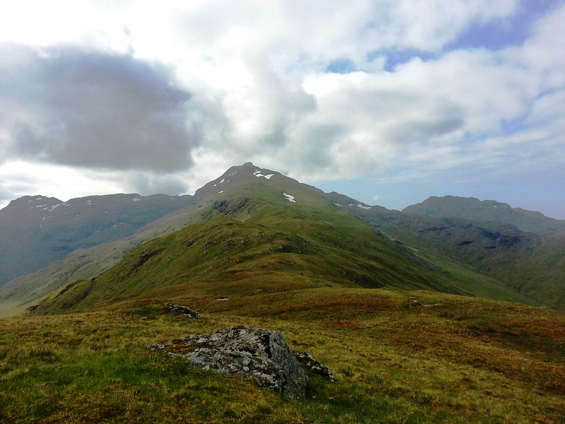 Twistin Hill to An Caisteal
 by
MekonVengence, on Flickr
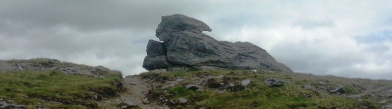
The first top on An Caisteal pops up like a top hat. A size-able snow bank also sits in the way, I avoided to the right. The top presents the days first scrambles. No real issues getting to it, although there was an interesting crevice and gulley to drop into and climb out of. I think this is one of the spots that dog walkers have a problem with as it involves a step over a gap.
 An Caisteal first top
 by
MekonVengence, on Flickr
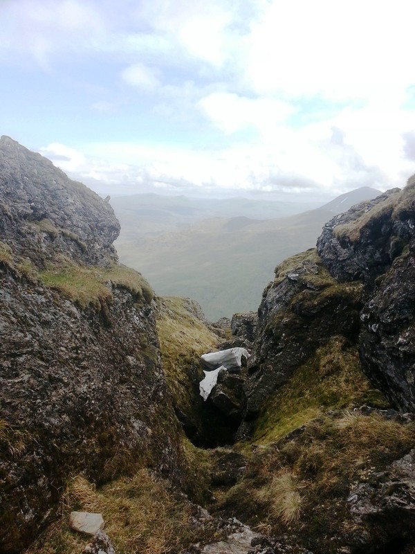 Step down and over this gulley
 by
MekonVengence, on Flickr
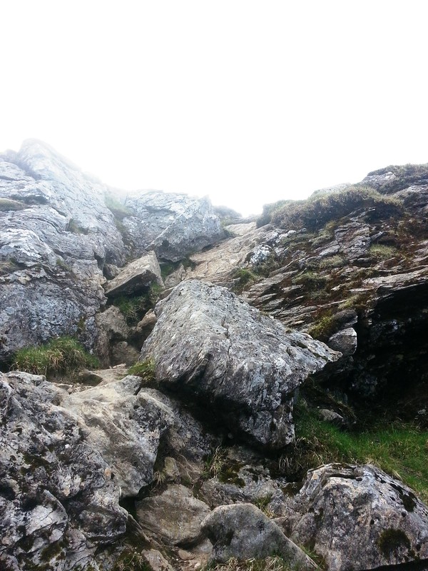 Scramble up
 by
MekonVengence, on Flickr
Once over this hurdle, to gain the top I followed what I thought was the most obvious path to the left of the bump. Exposure was plentiful! I literally hauled myself up and through some rocks, all in it was about 15-20m along with a hefty drop immediately left. I was glad to pop out at the little cairn. I immediately saw that there had been an alternative I had missed, a second path joined the cairn from the North. One suspects it would have been easier.
Looking back was fine.
 An Caisteal first top looking back
 by
MekonVengence, on Flickr
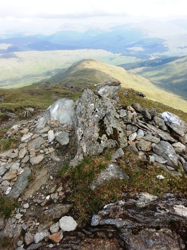
You get your first view of the An Caisteal summit from this top, about 100-150m south.
 Path to An Caisteal summit
 by
MekonVengence, on Flickr
Reaching the summit I felt pretty strong, all the hard work had been on the first 600-700 and your body gets plenty recovery time before the summit is reached. The sun was out and views fantastic. It was a busy old hill yesterday as walkers started to arrive behind me.
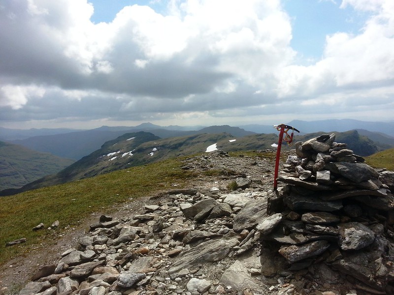 An Caisteal summit
 by
MekonVengence, on Flickr
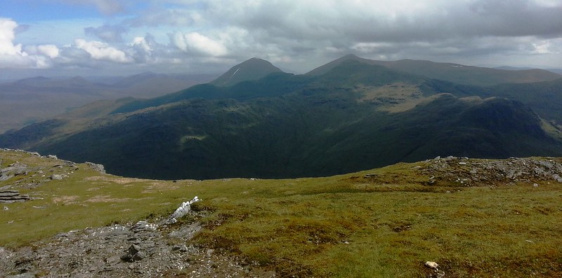 Ben More from An Caisteal summit
 by
MekonVengence, on Flickr
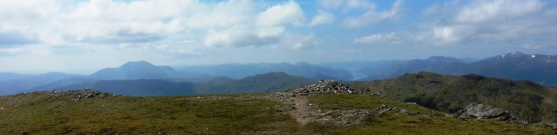 Looking south from an caisteal summit to loch lomond
 by
MekonVengence, on Flickr
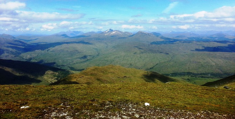 Over to Ben Lui and Ben Oss - check out the amount of snow on Lui
 by
MekonVengence, on Flickr
I spent an age looking down and across to the Beinn a 'Chroin western buttress, trying to see how exposed the track was going to be (up close answer "very").
I descended to the 810 Bealach Buidhe with a walk highlander I met on summit, forgot his name

- made good pace. It's a very dramatic descent, all stone steps and sloping rocks, but not too exposed. I paused at the bealach for a break and the dude went on.
 final part of descent from an caisteal
 by
MekonVengence, on Flickr
Here is where it gets a bit more challenging - initially you start up Beinn a'Chroin through a boulder field, then you quickly gain elevation with some BIG drops to the right being , ehm, very close. It's one of those "don't look down, eyes on the path and look forward" things, just keep moving!
On a little bit of respite you can enjoy the view back to An Caisteal and that truly epic descent.
 An caisteal descent from narrow beinn a'chroin path
 by
MekonVengence, on Flickr
So at about 900m the path dog-legs left and almost back on itself - taking you to what I loosely describe as a scramble. It's a two section scramble, split between an initial vertical rock about 5-to-6 feet tall and then a second stretch of about another 6 to 8 feet, but that slopes inward. I got 2 foot holds and hauled myself up the first section by hooking my knee over the top. Graceful was not a word I would use. I don't mind saying I was crapping myself. I fairly sped up the second section, over the hurdle was the most great fully received flat piece of wide ground. I have a feeling this must be the part of the guide that says an "awkward option right exists to avoid that scramble" - I certainly didn't see it and would be curious to hear if any WH posters have. Pushing on, I followed the most obvious path to get onto the Beinn a'Chroin ridge.
 and relax
 by
MekonVengence, on Flickr
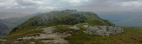
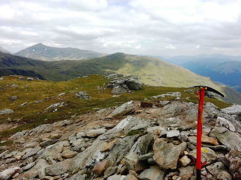
Beinn a'Chroin ridge was very straight forward and presented no difficulties, the views at all times to the immediate neighboring hills were immense.
 Beinn a'chroin ridge
 by
MekonVengence, on Flickr
 beinn a chroin first top
 by
MekonVengence, on Flickr
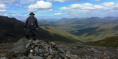
 Beinn a chroin summit
 by
MekonVengence, on Flickr
 beinna chroin summit cairn
 by
MekonVengence, on Flickr
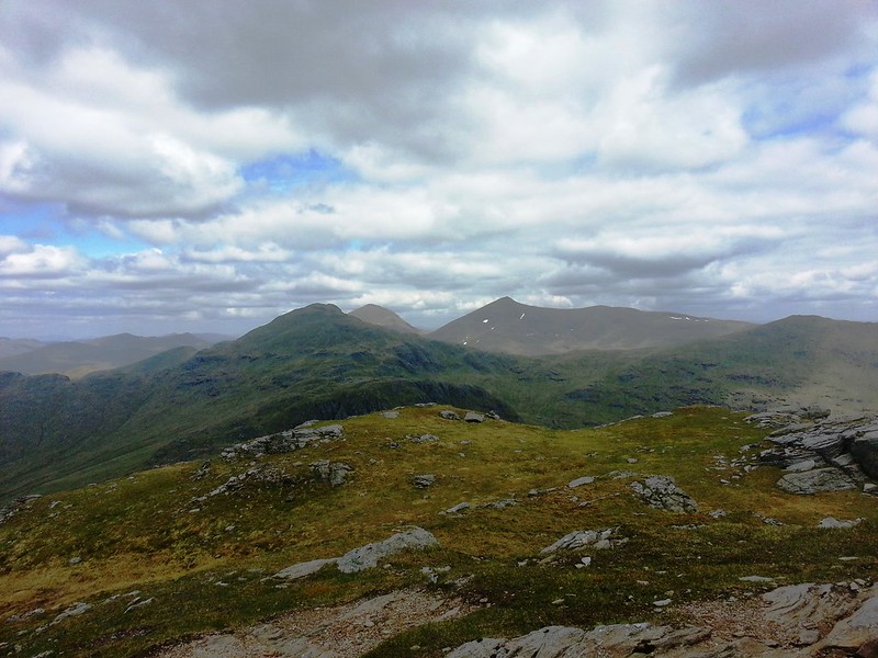
 final top of the day in the distance
 by
MekonVengence, on Flickr
You can see other walkers messing around on the An Caisteal and Beinn Chabhair summits. It was not that long ago I was standing on Beinn Chabhair doing the reverse, spotting little dots of people on Beinn a'Chroin. I took the tops at 942 and 940, sill feeling surprisingly sprightly (may have been something to do with still being alive). All the other walkers at the summits seemed to be in great moods, so maybe a theme here.
 final summit cairn
 by
MekonVengence, on Flickr
 Stob binnein from beinn a'chroin
 by
MekonVengence, on Flickr
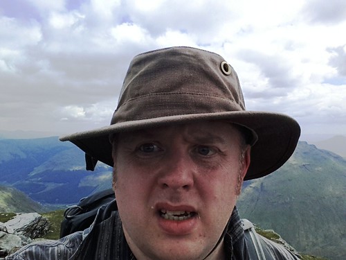 I am Indiana Jones
 by
MekonVengence, on Flickr
Descending off Beinn a'Chroin was initially quite quick, the first 250m was easy enough, but the second 250 required a bit more care and path winds down through the crags.
 Long way out
 by
MekonVengence, on Flickr
I was moving pretty slow now, I think knowing (and seeing) the long walk out on the boggy ground is quite demoralizing. Once down to 400m the days challenges are gone, the ground softens up and you begin hiking out. I'm a bog moaner, but I'll say this, my feet were glad for spongy ground. As it was not deep at this time, I actually quite enjoyed it!
 at the bottom
 by
MekonVengence, on Flickr
 final look at beinn a chroin and it's descent ridge
 by
MekonVengence, on Flickr
Just before the atv track, the path is destroyed by deep bog, you can avoid by going down to the river, I wish I had! Fortunately I found an easy water tributary crossing the track a little later to clean my boots, which had survived until that point, but were subsequently turned into two huge mud balls.
