free to be able to rate and comment on reports (as well as access 1:25000 mapping).
So it was just me this weekend - Allison was off with her family celebrating something or other - maybe compleating the Munros or some-such

Anyway I thought I'd use the opporchancity to get some Tops done. Looking through the list of Tops it seemed that the Cairngorms are replete with them - 9 around Cairn Gorm itself (that's for the WH Meet) and a dozen around the Loch Nagar circuit. I'd already climbed Meikle Pap when I did the Munros here - really as a viewpoint, so that left 11 to be grabbed. I decided I'd walk in from Glen Callater and use the Callater Stables bothy on the Friday night and see how it went the next day - was quite a lengthy circuit for me.
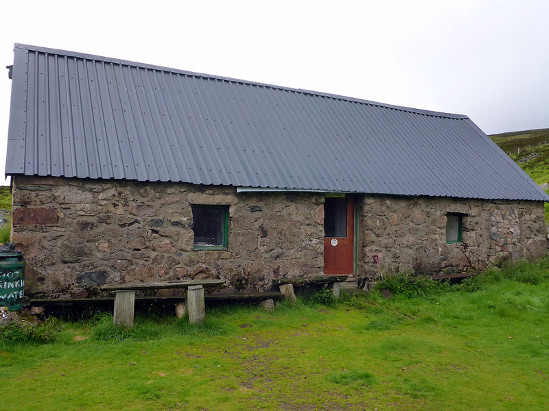
Drove up from work on Friday evening, parked up at the (pay £2.50 for the pleasure of it) parking spot at the top of the glen and set off on the 5km to the bothy. Arriving just before 10pm I found Douglas from Brechin already abed, though we had a wee chat as I hastily wolfed down some food and prepared for sleep myself. The bothy seemed well equipped, though no fireplace and rather dark inside on account of small windows.
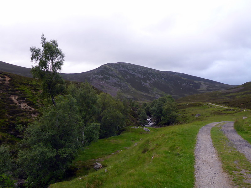
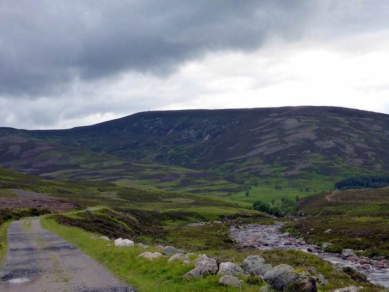
Starting up the Glen
 P1020470
 by
23weasels, on Flickr
Bothy
 P1020472
 by
23weasels, on Flickr
It rained through the night, and my plans for getting up early and setting off by 5.30 came to naught - it was just gone 7 when I headed out into the damp morning, mist down over the tops. It was also quite chilly and I was glad I'd abandoned my idea for shorts

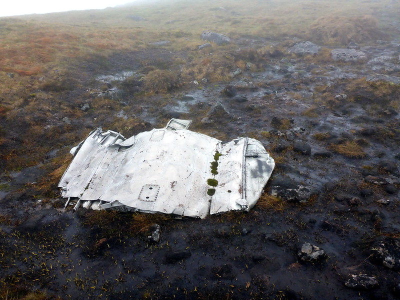
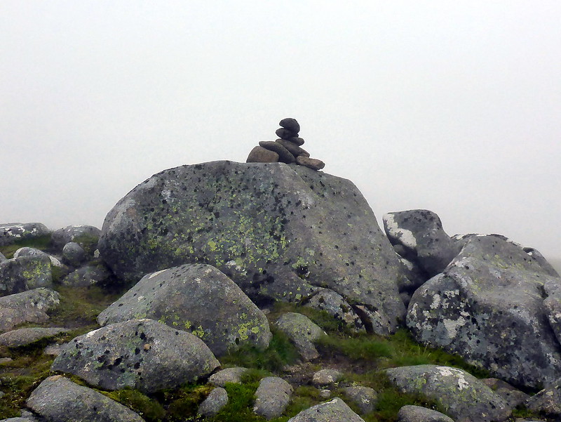
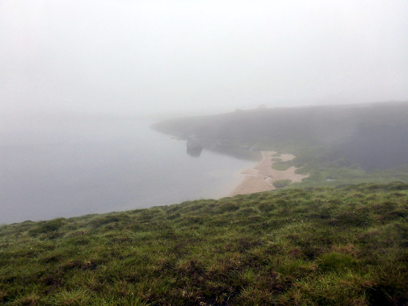
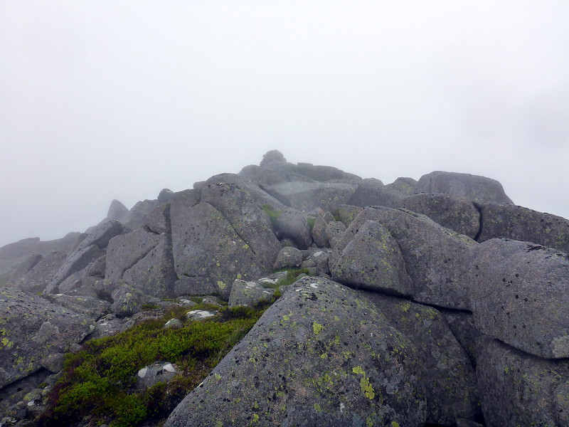
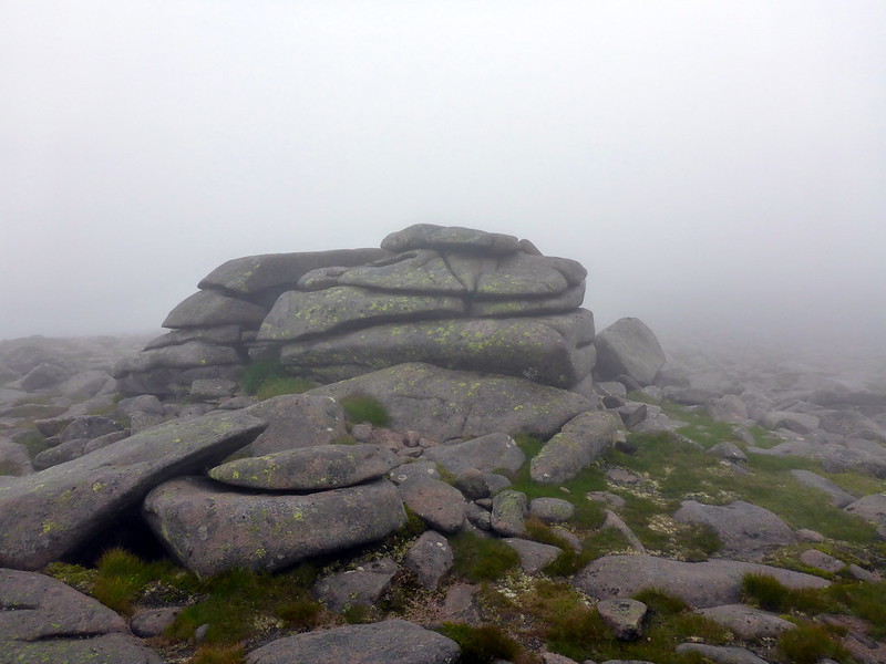
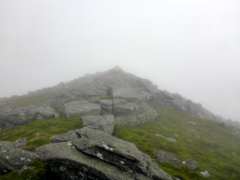
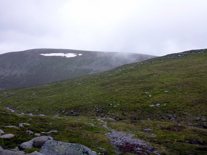
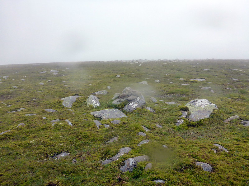
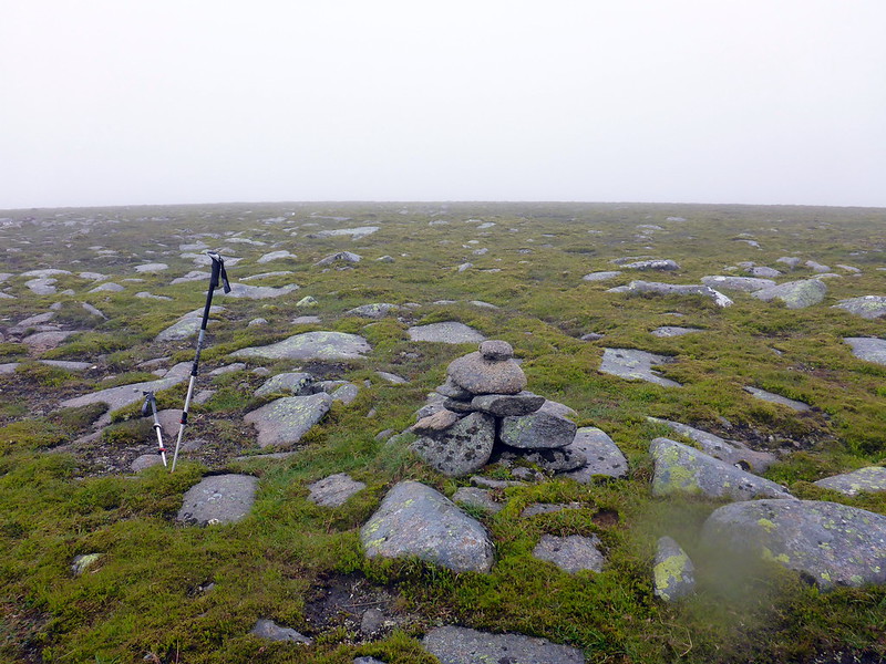
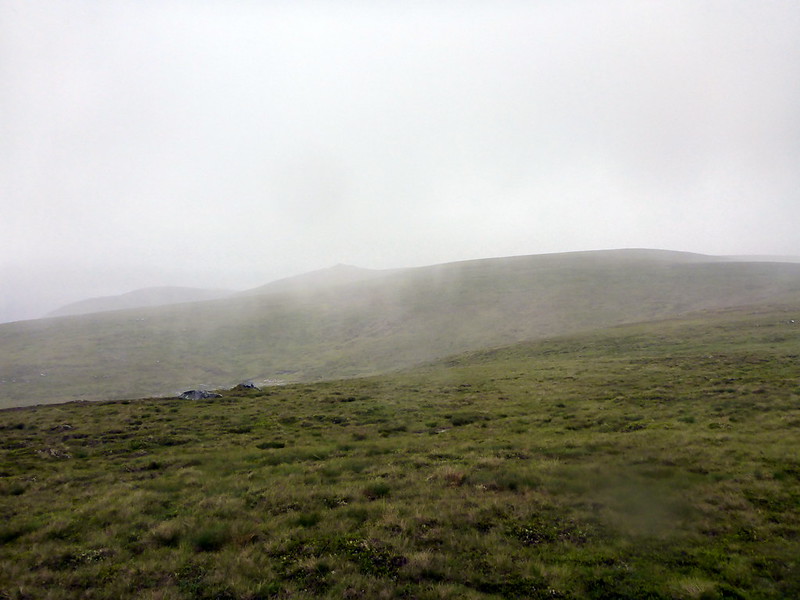
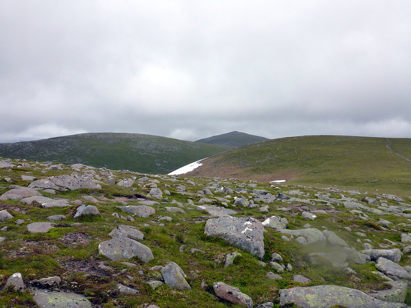
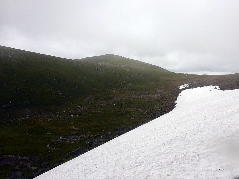
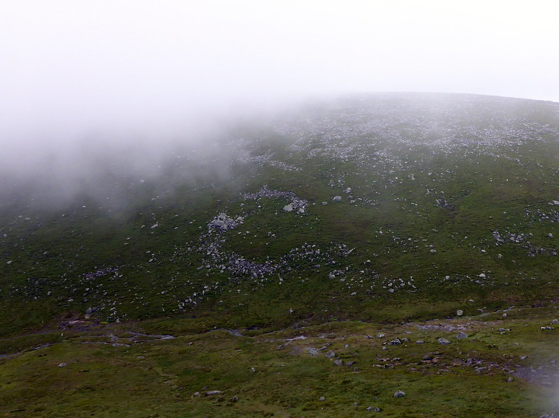
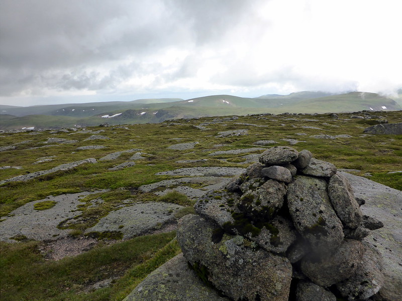
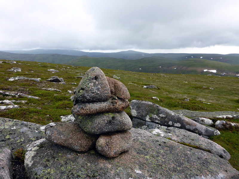
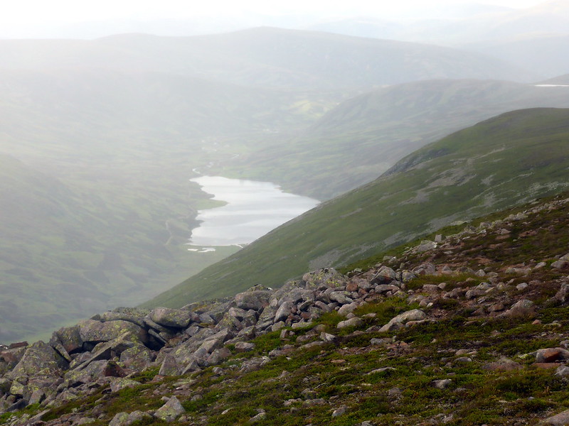
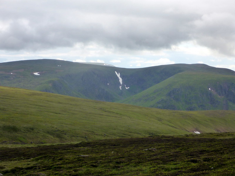
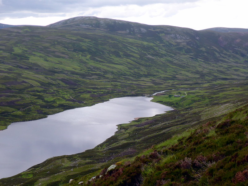
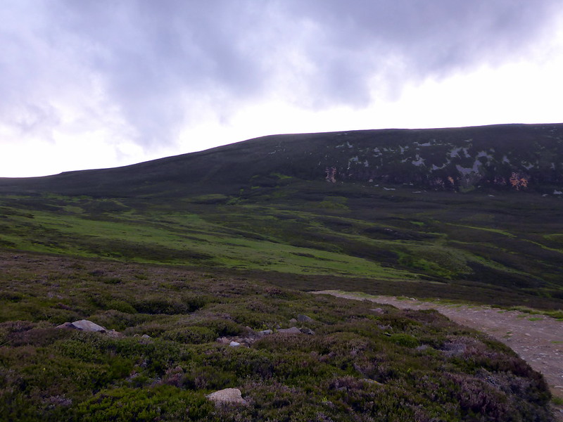
There's an excellent track that leads up NE from just before the bothy and runs the length of Loch Callater from high up the mountainside. Grass was wet and I was already cursing my choice of approach shoes rather than boots and my feet got soaked from the start. Leaving the path as it heads up Cairn an-t Sagairt Mor I contoured round to the west side of Sagairt Beag. This was my first encounter- but by no means my last - with boulderfields of the day. The granite blocks were slippy with the overnight rain and it wasn't long before I took my first tumble. Aware that I was out alone made me more cautious than usual from that point on. Next obstacle was a band of snow covering the slope up Sagairt Beag. I'd expected some snow in the corries, but hadn't reckoned on extensive snow on the slopes and wasn't prepared to deal with it. I was able to rise above the snow patch, but wondered if I was going to encounter more further on in the route. Passing a piece of plane wreckage confirmed I must be on the NW slopes of Sagairt Mor and from there it was an easy - if boggy, journey to the small cirn marker on Sagairt Beag. My route was to take me down the N shoulder of the Stuic then head for Sandy Loch before making for Meall Coire na Saobhaidhe, an outlier of Lochnagar. I'd hoped to see the Stuic Buttress up close but all was concealed in clag

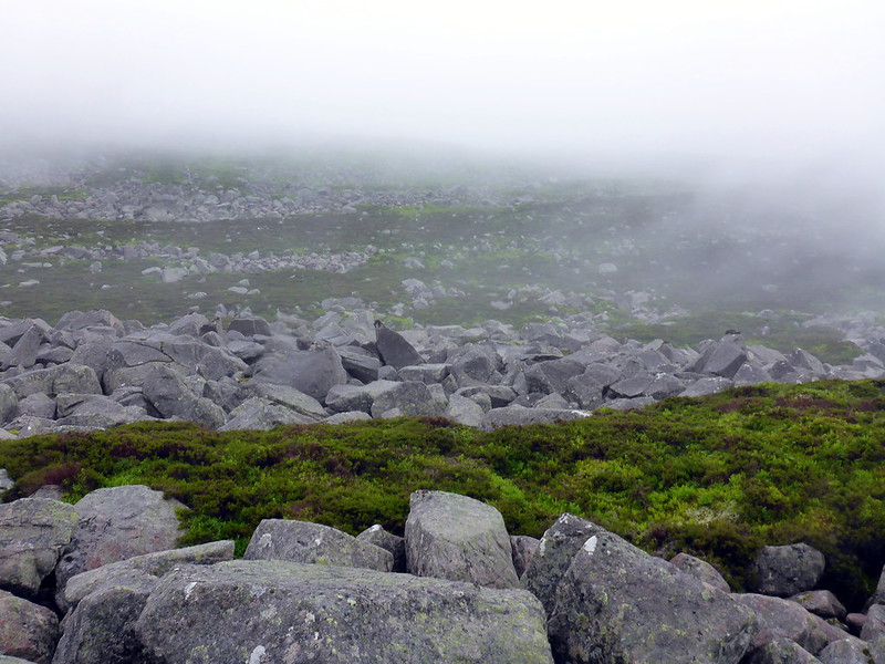
. Lots of boulders to negotiate and the heather/moss in between was guilty of hiding holes in the rocks. Some of the gaps under the boulders went down for 10 feet or more and progress was rather slow and cautious. The forecast had been for "occasional rain showers" but the "occasion" was turning out to be the full day

Great...
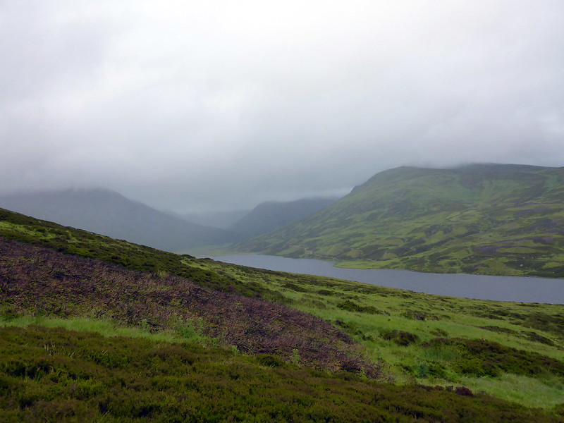
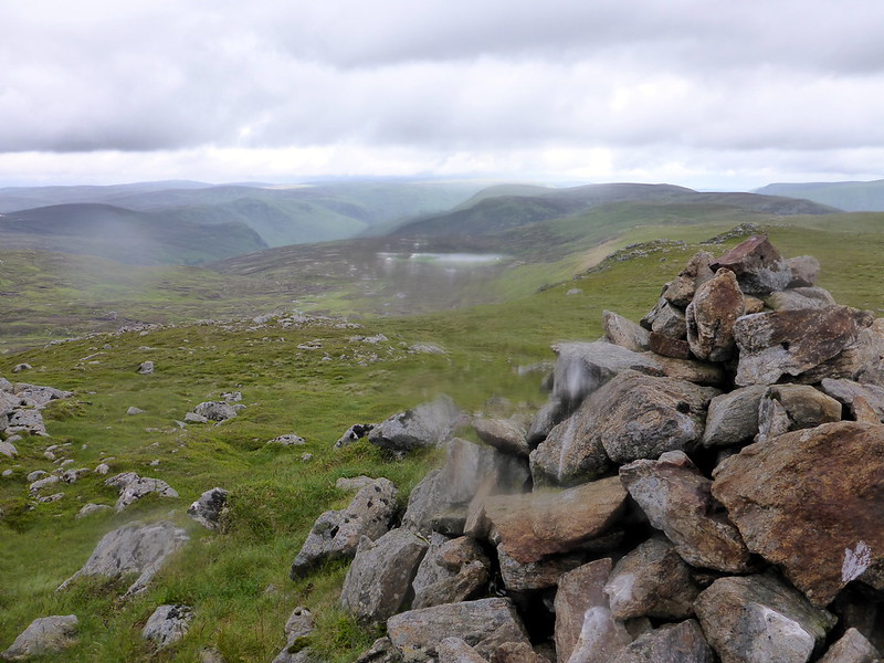
Loch Callater and misty tops
 P1020473
 by
23weasels, on Flickr
Wreckage
 P1020474
 by
23weasels, on Flickr
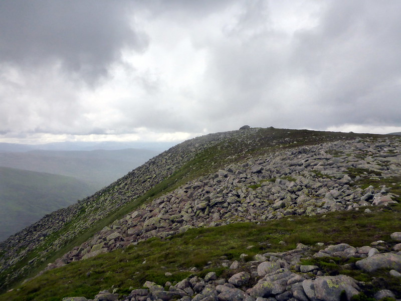
Carn an-t Sagairt beag
 P1020475
 by
23weasels, on Flickr
Sandy Loch
 P1020477
 by
23weasels, on Flickr
Was able to make out the ghostly outline of the Loch as I went by, following deer tracks. Hit the bealach between MCnS and Carn Cac Beag and hoisted myself up more rocky slopes to the summit. From here I had decided I'd go east around the Corrie of Lochnagar, rather than heading up Carn Cac Beag and over the top. In hindsight I'm not sure that was the right decision as the journey from the chain of wee lochans at the North of Lochnagar had even worse boulders than those I'd encountered earlier and a lot of scrambling was required before the slopes of Meikle Pap were gained. Headed up to Fox Cairn Well then up the standard path to Lochnagar - again no views of the Buttresses today. Some flat, springy grass and moss led the way to the next top, Cuidhe Crom - this was more like it! However, the boulders were back on the other side of this top as I tried to make my way to Little Pap and I ended up taking a line too far NE and having to contour back. Some of the larger boulders moved alarmingly when stood on, and I had anxieties about being trapped under one of them, and having to get my wee penknife out to remove my leg,
127 Hours stylee. Occasionally, a pair of grouse would explode into the air beside me uttering the most alarming cries and making me jump. The rain got heavier and it seemed cold enough to expect snow at any moment. The middle of summer, eh?
Meall Coire an Sahbaidhe
 P1020478
 by
23weasels, on Flickr
Boulders on the way past Loch Nagar
 P1020479
 by
23weasels, on Flickr
Cuidhe Crom
 P1020480
 by
23weasels, on Flickr
Little Pap
 P1020481
 by
23weasels, on Flickr
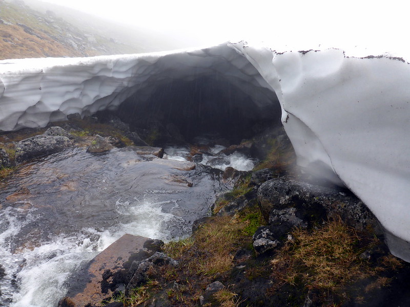
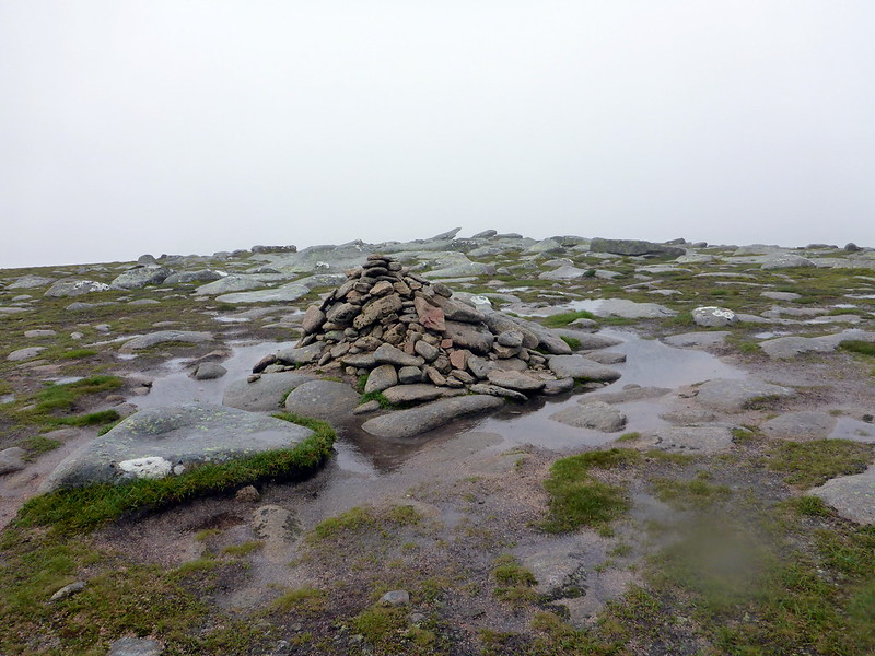
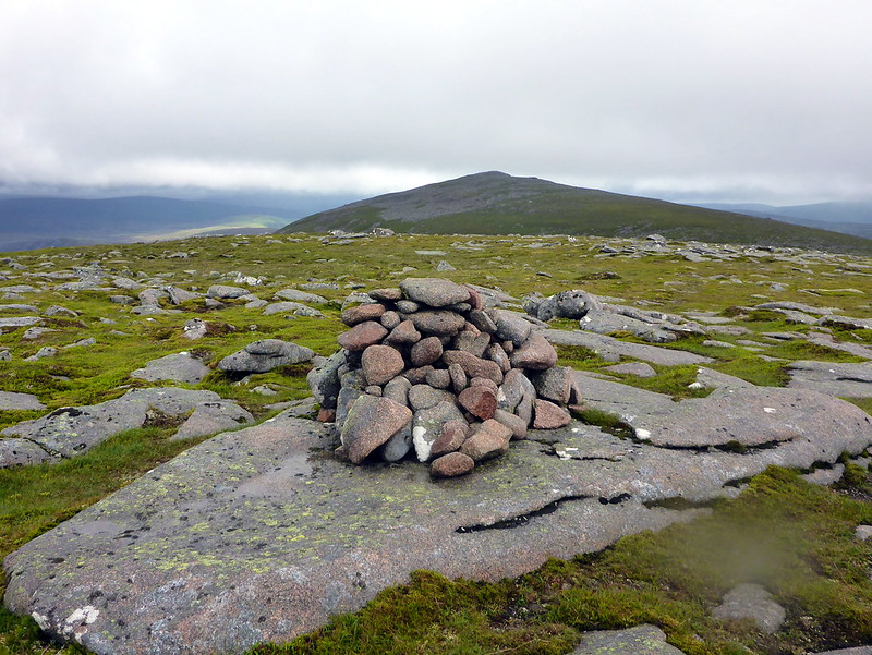
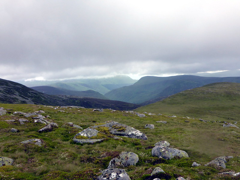
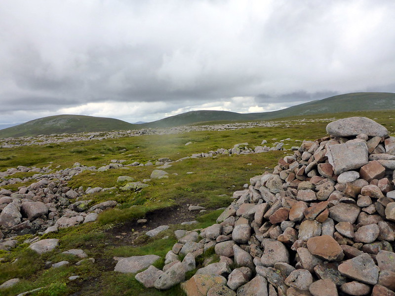
From Little Pap I'd chosen to contour around the west flank of Cuidhe Crom (more boulders) and briefly meet the track as it followed one of the tributaries of Glas Allt. I stopped at the neck of the valley for a dismal dank lunch and just as I sat there the clag briefly cleared to show me the way ahead over to Creag a'Ghlas -uillt. It's so much easier to walk if you have some notion of what you are actually walking on... Buoyed by this vision, I made my way up Coire an Daimh Mhoile, passing round a dramatic cavernous opening in the snow as the river flowed underneath - I wouldn't fancy falling through the snow over that and entering the icy underground chamber. Ca'GU had the smallest cairn of the day, but is still regarded as a Top...Onwards to the only slightly more impressive Eagles Rock Top - seeing neither eagles, nor, to be fair, much rock either amid the spongy grass. I headed over Coire Boidheach to the only Munro of the day, which I'd piut in as much to help with navigation as anything else, the wonderfully dramatic (haha) Cairn a Choire Bhoidheach, which had a more impressive cairn to distinguish it from the other Tops.
Clag clearing - Creag a'Ghlas Uillt
 P1020482
 by
23weasels, on Flickr
Snow cavern
 P1020484
 by
23weasels, on Flickr
Impressive CaGU cairn...
 P1020485
 by
23weasels, on Flickr
Eagles Rock...
 P1020486
 by
23weasels, on Flickr
This is the impressive Munro....
 P1020487
 by
23weasels, on Flickr
Next it was onto a proper track, heading west, past Carn an t-Sagairt Beag and down towards Cairn Bannoch. I passed alongside the rocky pile that marks the summit of said hill, not even bothering to make the short scramble to the top - Munros eh? who needs them
Instead I kept on the path for a bit then headed NE to Creag an Dubh Loch. A band of snow barred the way down into Coire Uilliem Mhoir - rather than waste time skirting aroundit to the south I decided to cross it. My trail shoes were less than ideal for grip, particularly when I got to the final section of snow, which was icier than I'd anticipated. There was only about 15 feet left to cross, but it was very steep. And there was a band of boulders just where it terminated. I sat down for what turned out to be a poorly controlled and executed bumslide and tumbled into the boulders - fortunately only my thermos flask suffered any lasting damage
Up the short steep slope to CaDL then - not wishing to try crossing the band of snow again, heading for the bealach between Broad Cairn and my next target, Cairn of Gowal. An easy pull up here and the remainder of my day came into view. The clag was departing, heavy skies over to the east, but finally the rain was drying up.
Carn Bannoch
 P1020488
 by
23weasels, on Flickr
Towards Broad Cairn
 P1020490
 by
23weasels, on Flickr
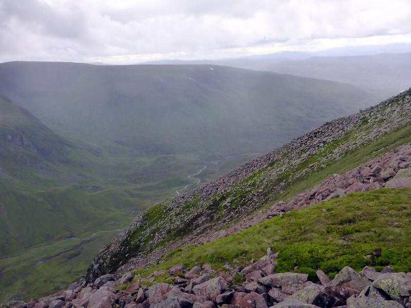
Snow strip over to Creag an Dubh Loch
 P1020491
 by
23weasels, on Flickr
Cairn of Gowal
 P1020492
 by
23weasels, on Flickr
CaDL, Broad Cairn behind
 P1020493
 by
23weasels, on Flickr
Cairn of Gowal, looking south
 P1020496
 by
23weasels, on Flickr
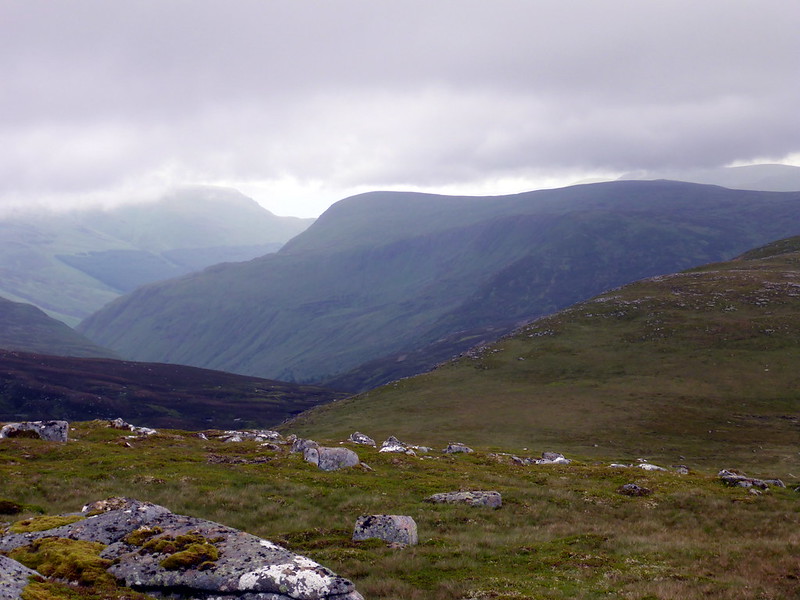
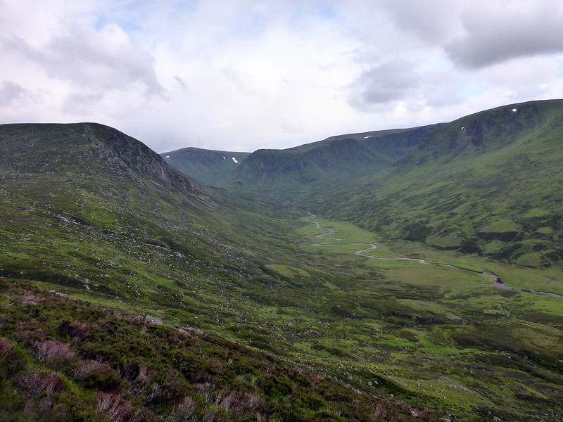
Craig of Gowall was next, the cairn a bit further south than the spot height of 927 on the map. I could see my next objective, Crow Craigies across the valley, with Tom Bhuidhe sitting proud above the steep fall into Glen Doll and looking like a proper hill from this vantage point, rather than the wee pimple it seems when approaching from the west. Dropping down into the valley was quite boggy, but my mind was taken with the crags under Crow Craigies looking like they might have some scrambling potential. But not for today
Up to the top of CC then it was into the home straight - I headed up to the Knaps of Fafernie scanning for a cairn (there isn't one, mainly cos this isn't a Top but by this point I'd lost track of what was and what wasn't) then over to Creag Leachdach, my penultimate Top. The drop from here is most impressive, with views over to Loch Kander and the rear of Carn an Turc. It also afforded views to the NW up Glen Callater and my return point. From here it was a wee jaunt to the final Top, Fafernie. Trekked over to the path that skirts round Carn an-t Sagairt Mor and followed this back along to the track I'd taken in the morning.
Tom Bhuidhe with Glen Doll
 P1020497
 by
23weasels, on Flickr
Tom Bhuidhe looks a proper hill from this aspect!
 P1020498
 by
23weasels, on Flickr
Craig of Gowall
 P1020499
 by
23weasels, on Flickr
Looking over to Crow Craigies
 P1020500
 by
23weasels, on Flickr
Crow Craigies
 P1020502
 by
23weasels, on Flickr
Craig Leachdach
 P1020506
 by
23weasels, on Flickr
and drop below
 P1020507
 by
23weasels, on Flickr
Slightly deranged
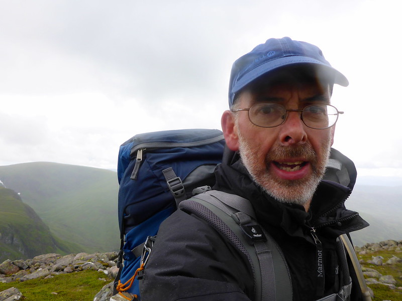 P1020508
 by
23weasels, on Flickr
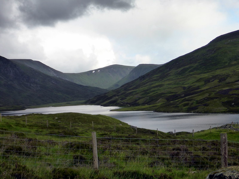
Back along Glen Callater
 P1020510
 by
23weasels, on Flickr
Fafernie, with the Sagairts beyond
 P1020511
 by
23weasels, on Flickr
Carn an Tuirc
 P1020512
 by
23weasels, on Flickr
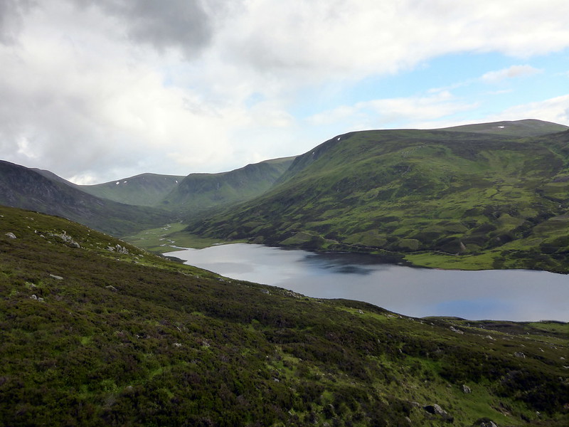
Upper stretches of Glen Callater
 P1020514
 by
23weasels, on Flickr
Loch Callater
 P1020515
 by
23weasels, on Flickr
 P1020516
 by
23weasels, on Flickr
 P1020517
 by
23weasels, on Flickr
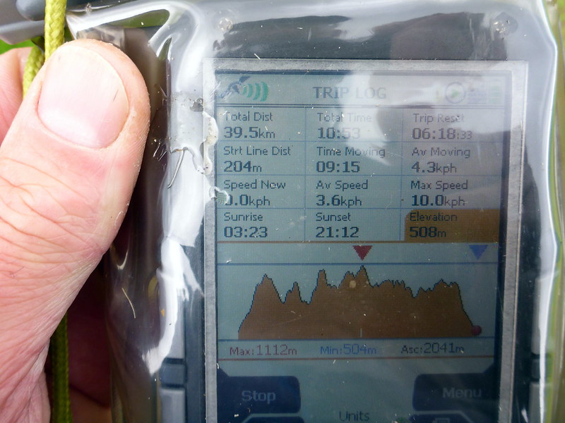
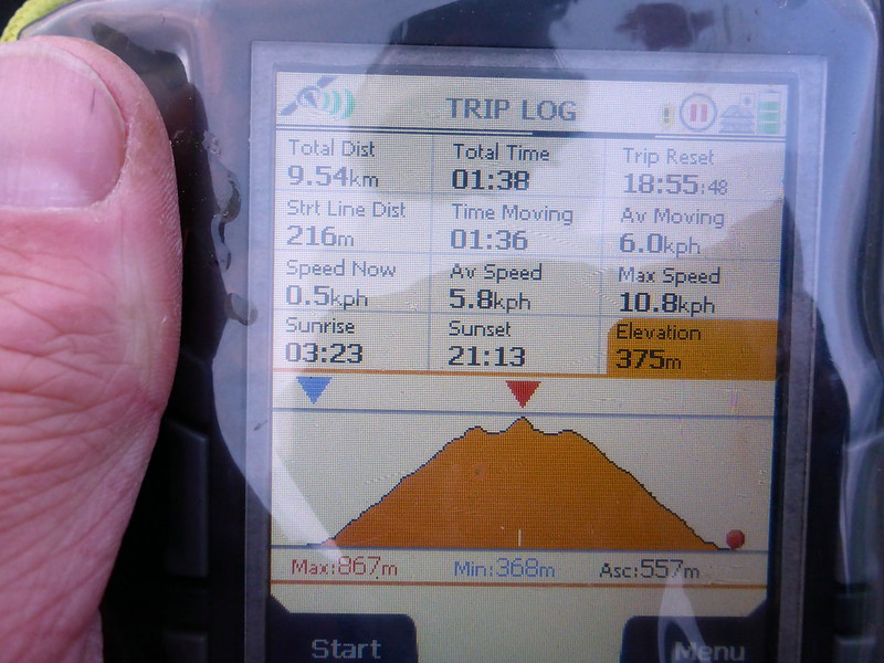
Stats (from and to the bothy only)
 P1020518
 by
23weasels, on Flickr
Back at the Bothy, Douglas had been joined by another couple of men, who'd driven in - I guess since the road to the glen is barred by a locked gate they must've had permission from the estate, but it seemed a bit weird. Alcohol fumes, an air-rifle outside, choice language - I had already decided I'd not be staying there another night, but my decision was even firmer now. I made my noodles outside then headed off along the track back to the car park.
I'd decided that I'd do the Tops around the east Glenshee hills (4 of them) on the following day, but had noticed that Morrone was just across from the car park. Should I do that in the morning then head off to do the Tops? Seemed too inviting to miss out. It was quite a pleasant evening as I returned to the car, spotting an ideal pitch for my tent just up from the car park. Back at the car I had decided that I'd go up Morrone tonight, as it seemed to have a giant motorway-style path going all the way up to the Comms Mast at the top. As I emptied my rucksack I hit Problem number 1 - my sleeping bag had got pretty soaked during the day's rain
Problem 2 was a bit more challenging - no tent

I had obviously forgotten to pack it... I did, for a brief moment, consider using my new bivy bag but with the likelihood of overnight rain, no shelter and an already wet sleeping bag, it didn't take long to decide against that
Instead I hastened to get up Morrone while there was still light - it was 8pm now and I hoped I'd be able to get up and down in 2 hours.
Morrone - invitingly close
 P1020519
 by
23weasels, on Flickr
Start of the "motorway" track up Morrone
 P1020521
 by
23weasels, on Flickr
 P1020522
 by
23weasels, on Flickr
 P1020523
 by
23weasels, on Flickr
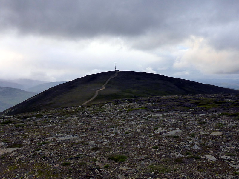
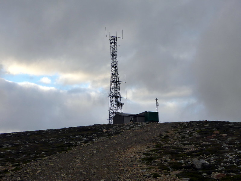
Radio Shack
 P1020524
 by
23weasels, on Flickr
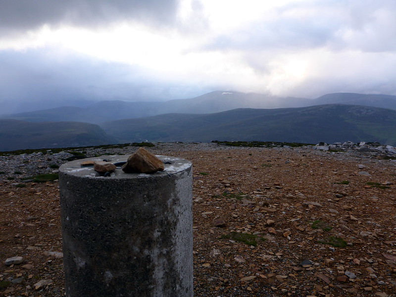
Trig. looking N
 P1020525
 by
23weasels, on Flickr
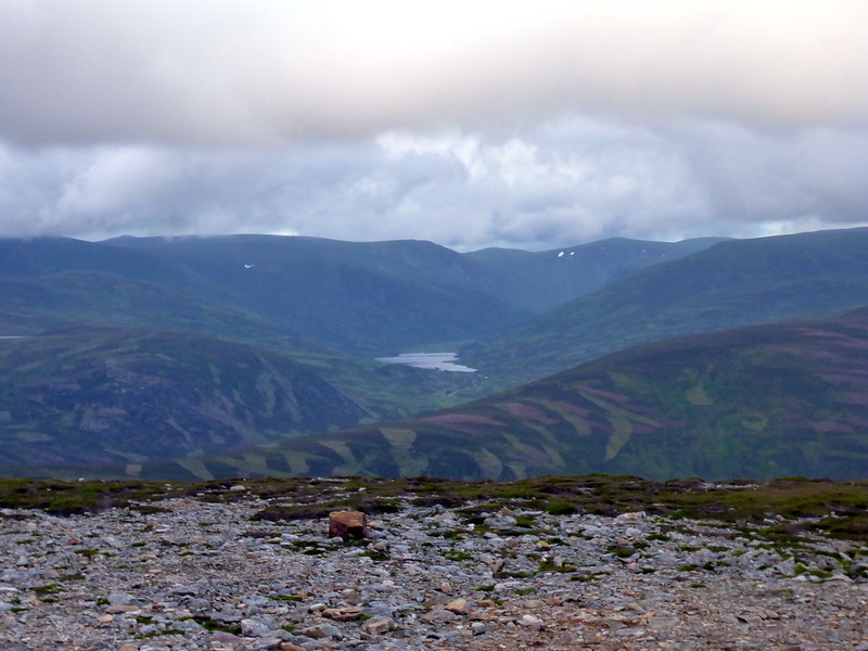
Loch Callater
 P1020526
 by
23weasels, on Flickr
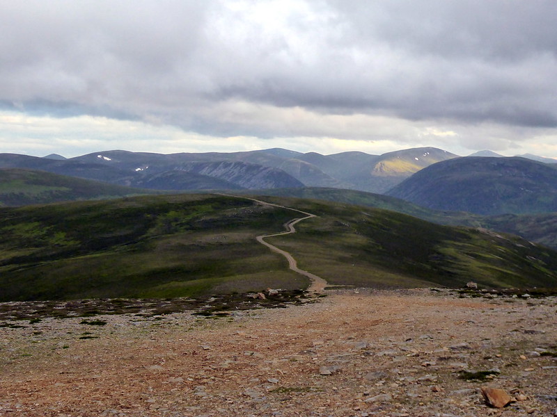
Glenshee hills
 P1020527
 by
23weasels, on Flickr
Stats
 P1020529
 by
23weasels, on Flickr
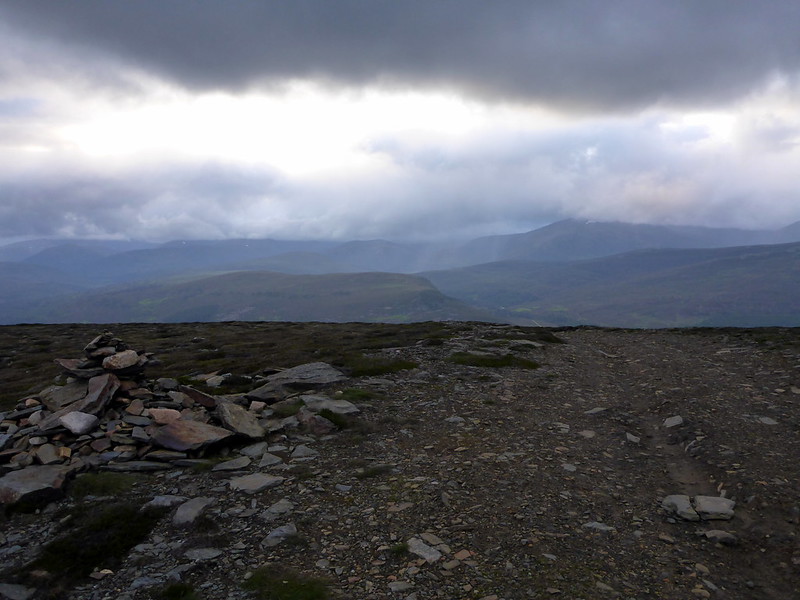
Across the road and over the Clunie Water then onto the bulldozed track. However much I hate the desecration of hillsides by these ugly tracks, they do make for rapid access to the tops - so on this occasion I was happy enough to use it. Gazing on the hillsides around with the variegated stripes of light and dark green, it looked as though an insane giant had been let loose with an oversized lawnmower on the slopes. The top was made in 1 hour, up to the Brian M Goring Radio Relay Hut and mast, with the Trig point snuggled in behind. Good views to Mar Lodge and Inverey to the North, sun picking out the odd hill in the ranges to the south. Back down the track, gently jogging the downhill section and back at the car in under 1 and three-quarter hours. Still enough light to get most of the journey to Perth in relative light and back home by 1am.
