free to be able to rate and comment on reports (as well as access 1:25000 mapping).
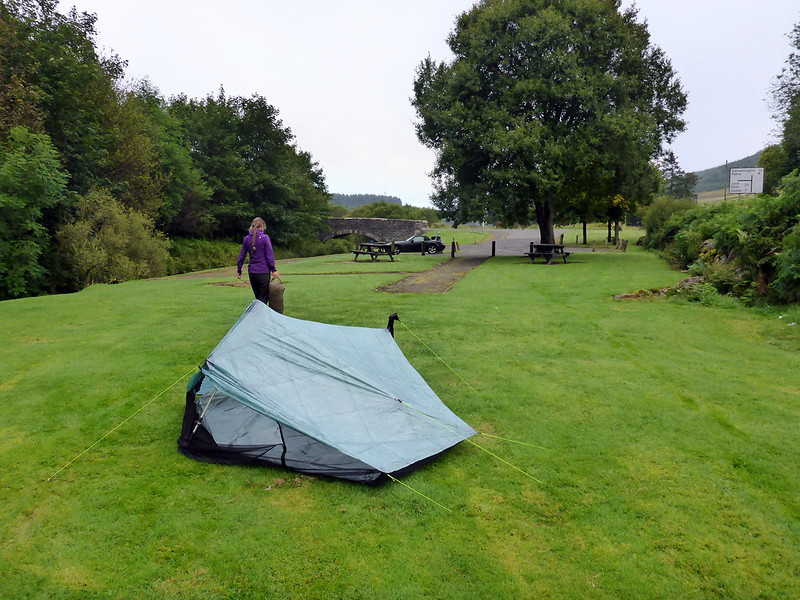
After a great day in Arran it seemed sensible to head for somewhere south-ish for the Sunday. We got off the Arran boat just after 8 with the intention of climbing Cairnsmore of Carsphairn and a few adjacent Donalds the following day. So we needed a place to stay the night. Driving down the A713 from Ayr towards Dalmellington it's already getting dark and I have no idea where we're going to pitch. Spotting a picnic area at the start of the road into Galloway Forest Park, just after Dalmellington, we reckon thei looks possible - lovely flat grassy area away from the picnic benches - only downside is it's beside the road, but should be quiet overnight...pitched and inside in the darkness that is now 9pm. All's well til about 10.30 and a car pulls up into the parking spaces. Oh no - have we chosen a spot favoured by South Ayrshire's dogging community? After an anxious wait to see what they're up to (it's astonishing how vulnerable you can feel in a wee semi-transparent tent) they put some music on - of the "banging sounds" variety I think it was, then shortly after disappear. We aren't troubled for the rest of the night, but sleep is hard to come by. 7am we get up and use the picnic tables to eat breakfast from.
Campsite
 P1030398
 by
23weasels, on Flickr
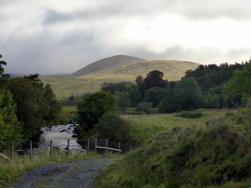
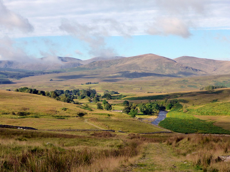
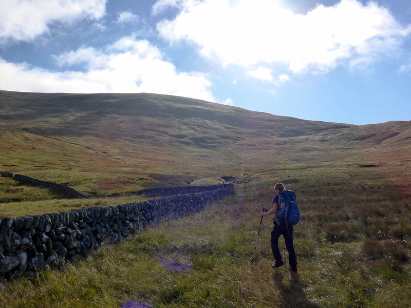
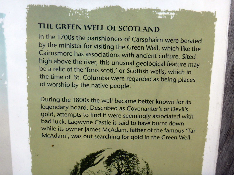
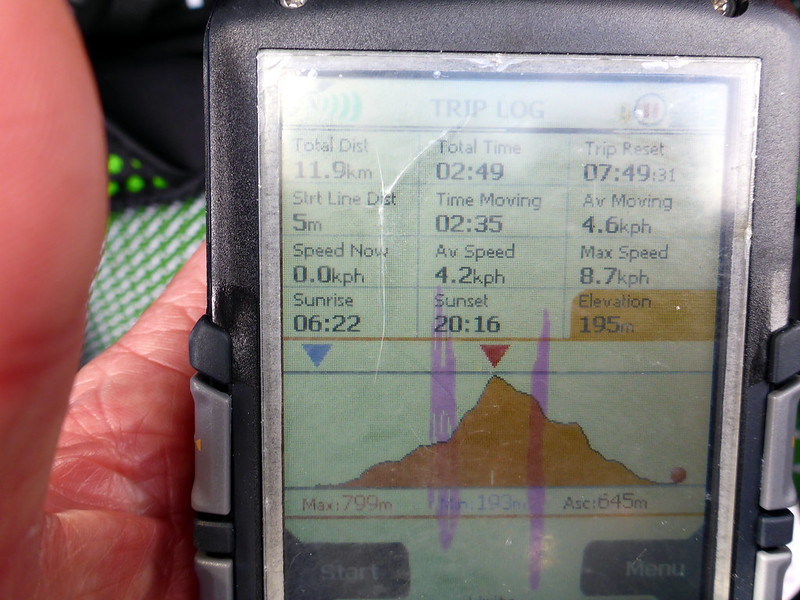
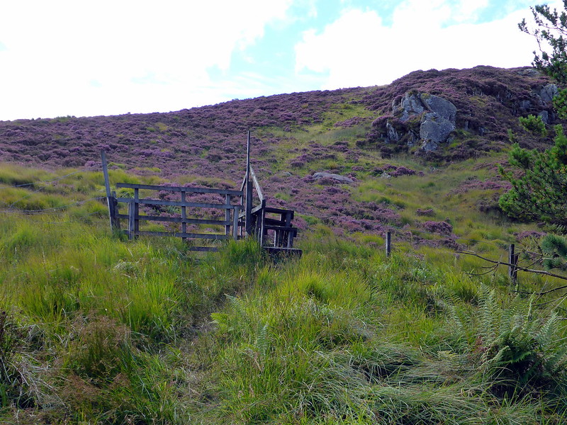
OK, it's not a bad looking day, let's be off. We drive down the road a few miles to the Green Well of Scotland and park up of the verge after the bridge. One other car is there already. Setting off up the track at about 8.30 it's turning into a nice warm sunny morning. Views to the west over to the Merrick and the Rhinns of Kells are inviting. Going is easy under foot on a farm track. We pass Dunool on our right as we head towards Standing Stone Rig, following the path up by the stream, across the small bridge and up the side of the wall heading right for the cairn. No false summits here! Three other guys are draped around the cairn. It's too nice a day to waste on Donalds, I decide - it has only taken us 90 minutes to get here and rather than head off to Windy Standard, Alhang and Moorcroft hills I think we would be much better served by getting over to Corserine and claiming another Corbett. So we head down the fence line over Black Shoulder and Dunool then along the Nick of Disgee back to the path and thence to the car. A nice wee hill that one.
Dunool
 P1030399
 by
23weasels, on Flickr
View towards Merrick
 P1030400
 by
23weasels, on Flickr
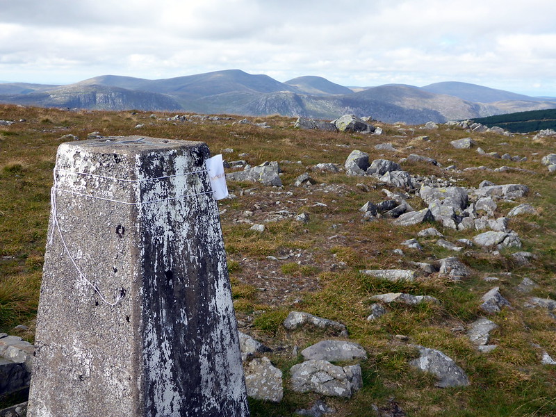
Cairnsmore
 P1030401
 by
23weasels, on Flickr
 P1030402
 by
23weasels, on Flickr
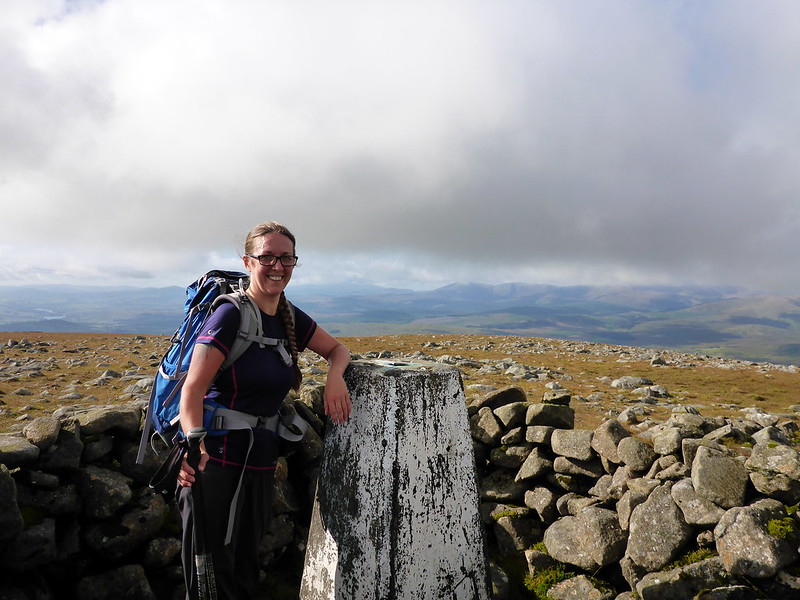
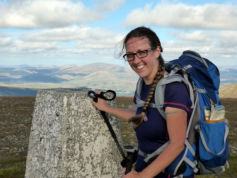
Summit Cairnsmore
 P1030403
 by
23weasels, on Flickr
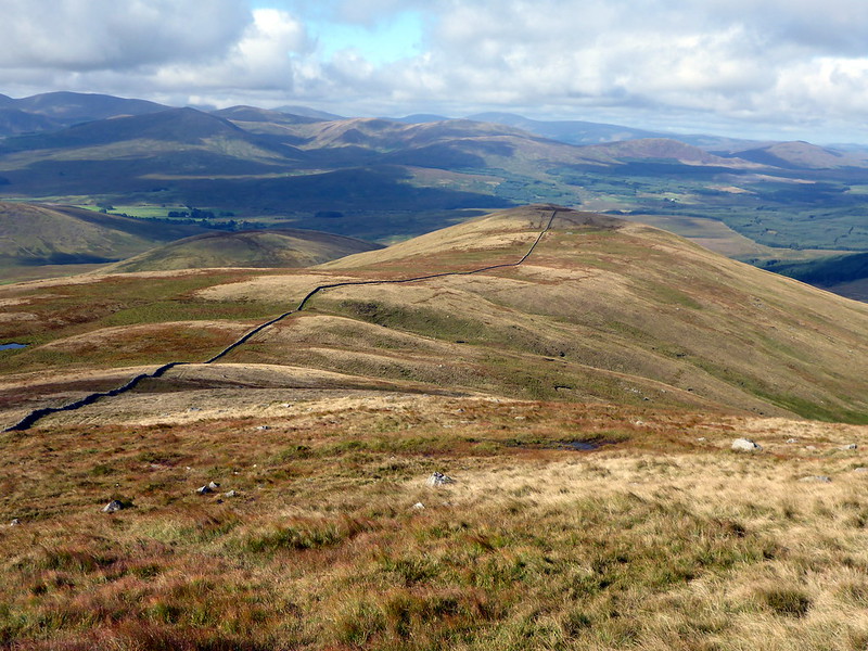
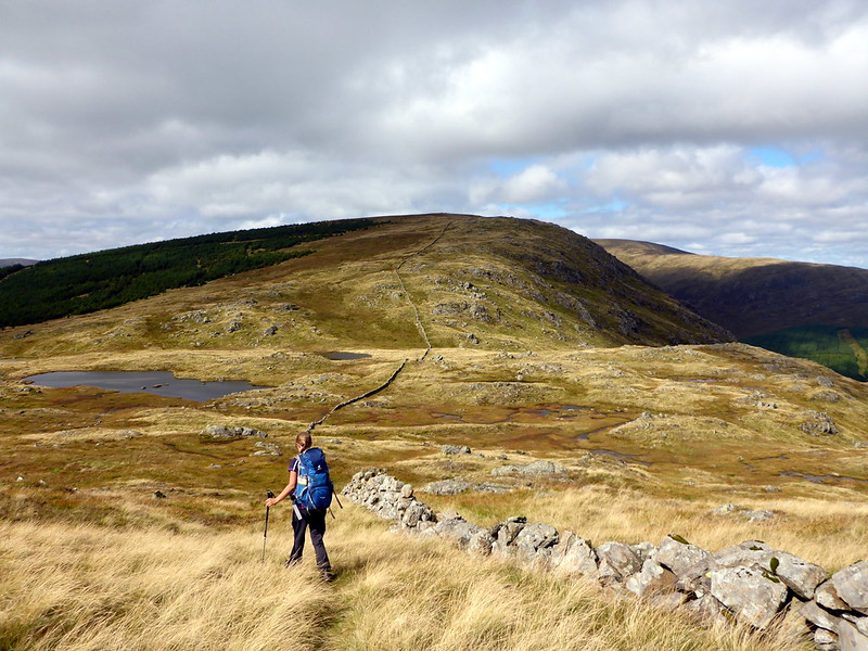
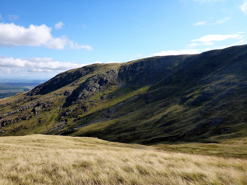
Route down over Black Shoulder
 P1030407
 by
23weasels, on Flickr
View back up
 P1030408
 by
23weasels, on Flickr
 P1030409
 by
23weasels, on Flickr
 P1030410
 by
23weasels, on Flickr
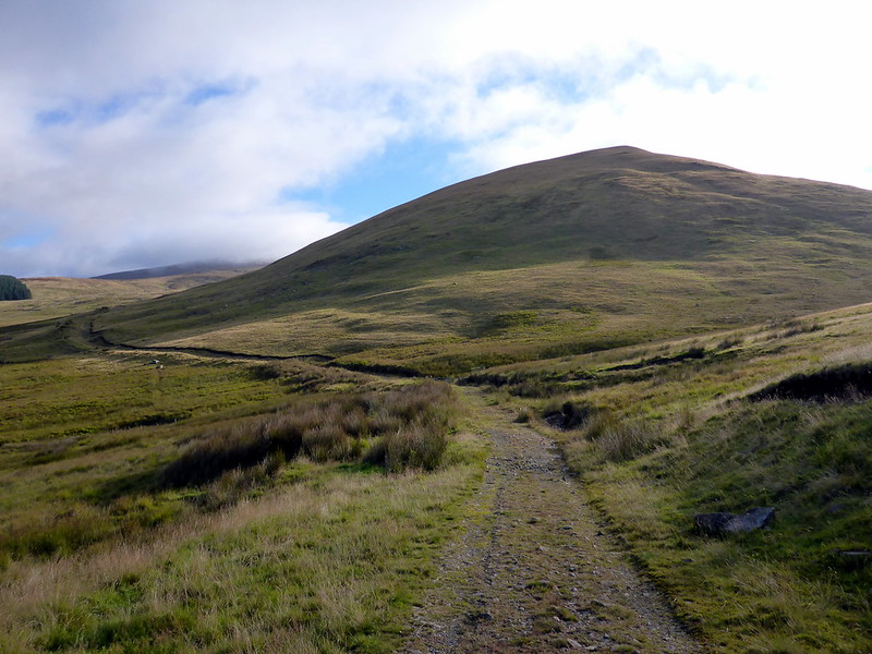
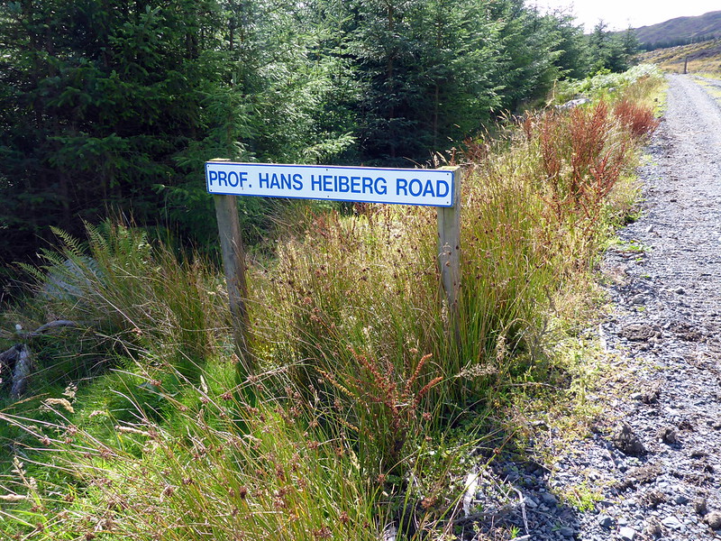
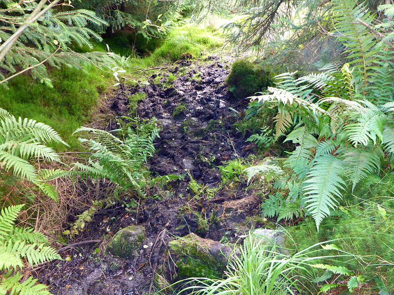
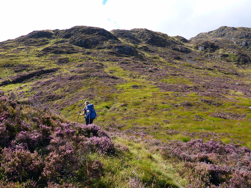
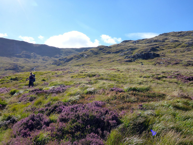
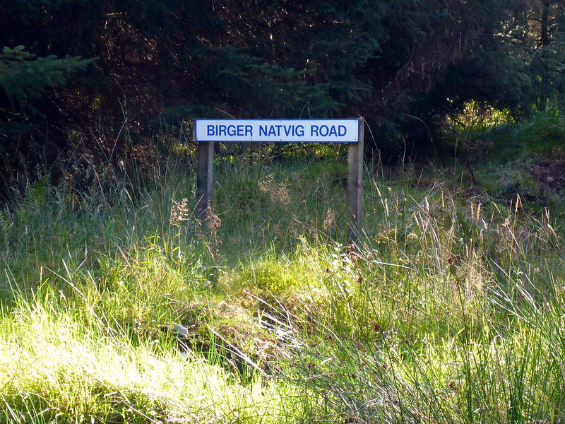
We drive down the road a few miles to Polharrow Bridge then up the well-surfaced single track road to Forrest Lodge, an estate owned by Fred Olsen and with tracks going into the forest having the most unusual names - Prof Hans Heiberg Drive being one (He was a Norwegian Professor of Silviculture in case you didn't know). Off into the tree lined avenue which soon opens out into a cleared area of forest with our first objective - Meickle Lump - up ahead. Have to say I just love these place names down in Galloway. Anyhow we proceed through the trees, coming to Kristen Olsen Road then through a boggy trail that brings us up to a stile over the deer fence and up the side of the aforementioned Meickle Lump. The heather's bonny, the going steep at first then levelling out as we walk up to the first top, Meikle Millyea which offers good views south to Clatteringshaws Loch and along the broad ridge we'll take to Corserine.
 P1030412
 by
23weasels, on Flickr
Meikle Lump
 P1030414
 by
23weasels, on Flickr
Boggy bit
 P1030415
 by
23weasels, on Flickr
Deer Stile
 P1030416
 by
23weasels, on Flickr
Heathery hillside
 P1030418
 by
23weasels, on Flickr
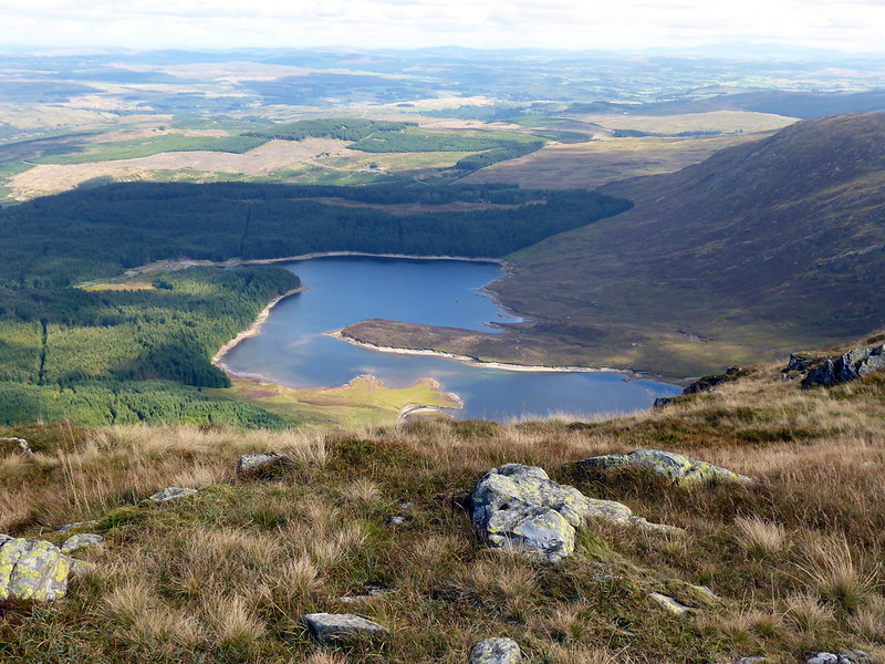
Clatteringshaws
 P1030420
 by
23weasels, on Flickr
Along the ridge to Corserine
 P1030422
 by
23weasels, on Flickr
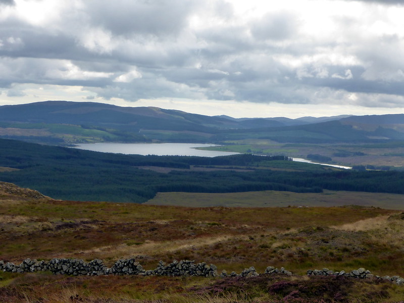
Meikle Millyea has its name pinned on the trig point (they do think of everything here) and we enjoy the cool breeze before heading along to the next couple of tops - Milldown and Millfire - all, I later learn, Donalds - yay! We get good views over to the hills in the west. We hear a crinkling rustling noise in the grasses and spot a threesome of dragonflies mating or up to some nefarious business. One flies off before I can get my camera out. The land over to the east is so flat and arable looking - quite a contrast after recent weeks out on the hills. Up ahead the great whaleback of Corserine stretches up to the skyline. I push on faster than Ally who's lagging behind with a sore knee. Great views from the cairn, including over to Cairnsmore of Carsphairn.
Meikle Millyea
 P1030425
 by
23weasels, on Flickr
To Milldown
 P1030427
 by
23weasels, on Flickr
dragonflies
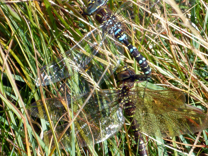 P1030428
 by
23weasels, on Flickr
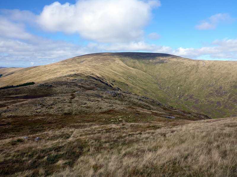
View over to Cairnsmore
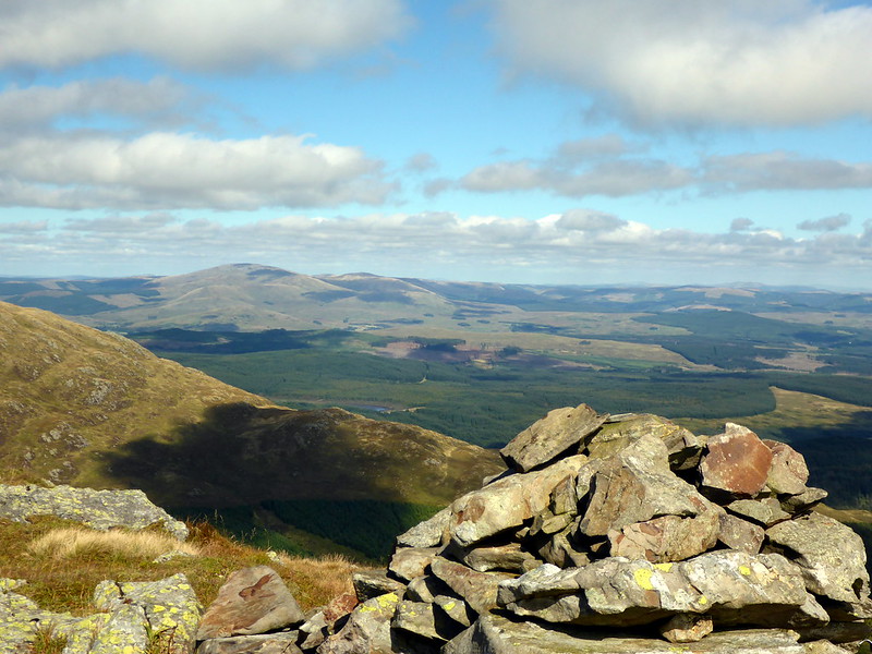 P1030430
 by
23weasels, on Flickr
Dungeon Loch
 P1030431
 by
23weasels, on Flickr
Corserine
 P1030432
 by
23weasels, on Flickr
Summit
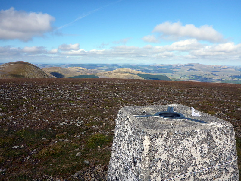 P1030435
 by
23weasels, on Flickr
 P1030437
 by
23weasels, on Flickr
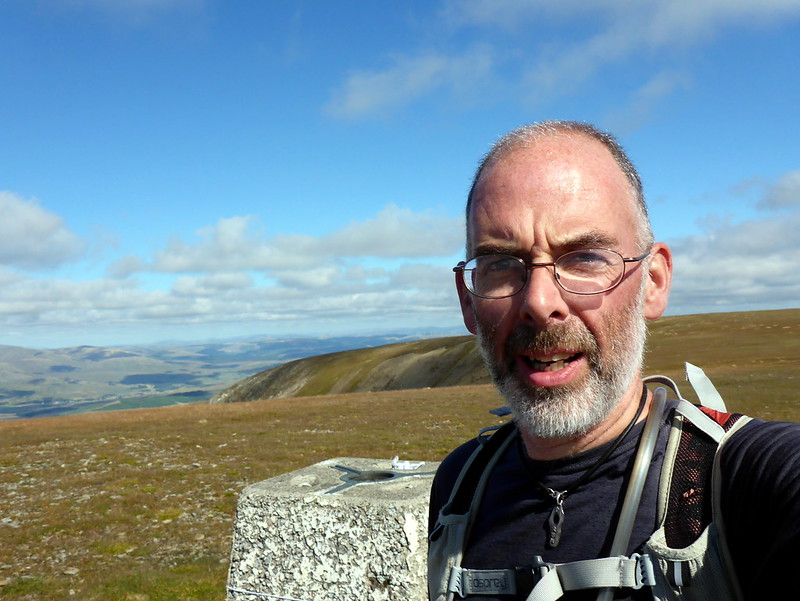
Better late than never

 P1030439
 by
23weasels, on Flickr
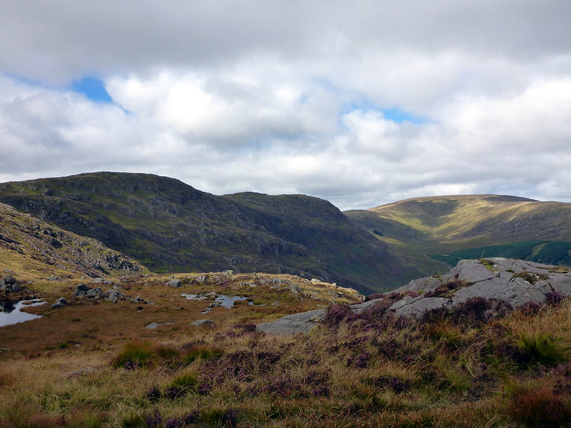
We trek down by the Scar of the Folk, with rougher terrain over towards Craigbrock. I head to the Folk Burn for a drink - having neglected to refill my water bladder yesterday was a bad move on such a hot and sunny afternoon. After downing a litre of cool streamwater I feel revived and we set off back into the forest to return to the car park. It's good to see these hills down in this part of the world on a good day.
Craigbrock
 P1030441
 by
23weasels, on Flickr
Peacock Butterfly
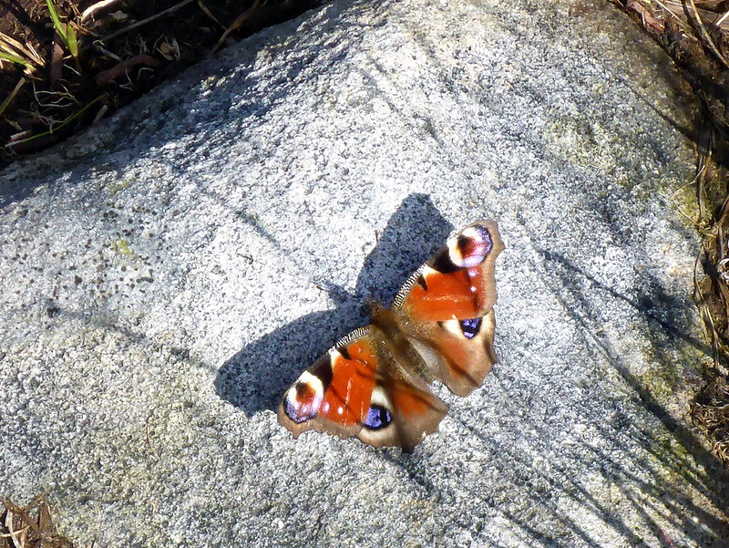 P1030443
 by
23weasels, on Flickr
Last section of descent
 P1030444
 by
23weasels, on Flickr
Shrooms
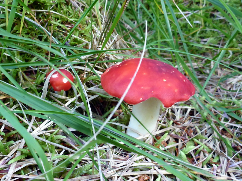 P1030445
 by
23weasels, on Flickr
Looks like a motorway they're building - definately a "Boulevard"!!
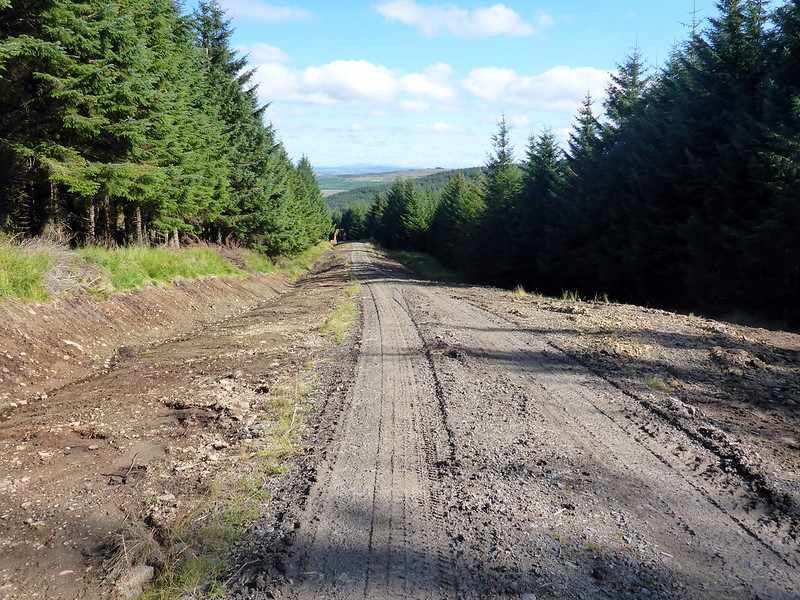 P1030446
 by
23weasels, on Flickr
And another one
 P1030447
 by
23weasels, on Flickr
 P1030449
 by
23weasels, on Flickr
You've been warned!
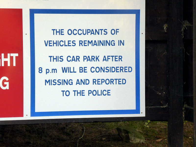 P1030450
 by
23weasels, on Flickr
