free to be able to rate and comment on reports (as well as access 1:25000 mapping).
As anyone who reads my blog regularly knows, I'm out on the hills every weekend, rain or shine. However only once before have I wakened to get ready for the hills with such a sense of joyless despondency as today - and that was the day after my dog died. Like many others I had allowed myself to have just a little bit of hope that we might take the country to a better and fairer future on Thursday, but that dream was crushed by the 55%. So with a mouth full of ashes I got ready to head off for the day - couldn't bear the prospect of an overnighter this weekend. Driving up to Bridge of Orchy I had a lump in my throat passing the YES signs coming out of Dumbarton. I was in tears driving through Crianlarich when I read the "Bairns, not bombs" sticker on the car in front. What a squandered opportunity.

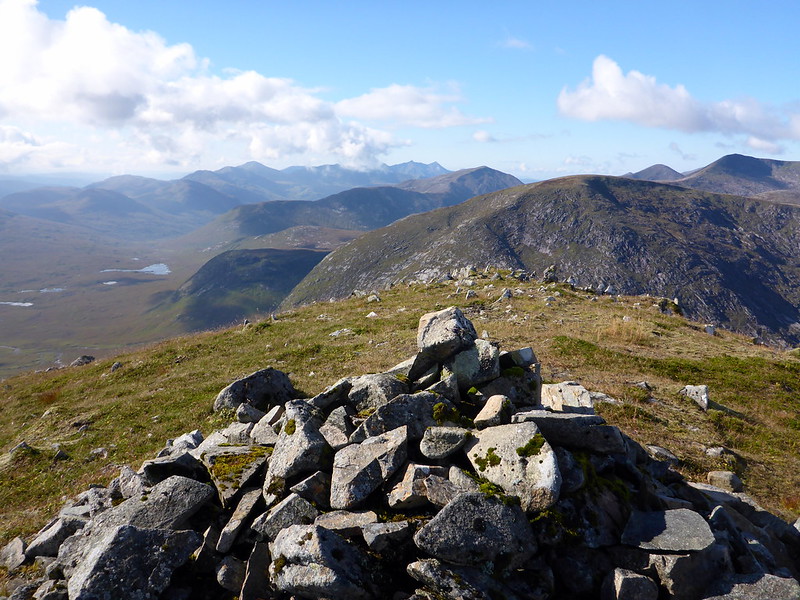
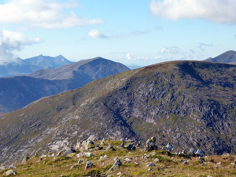
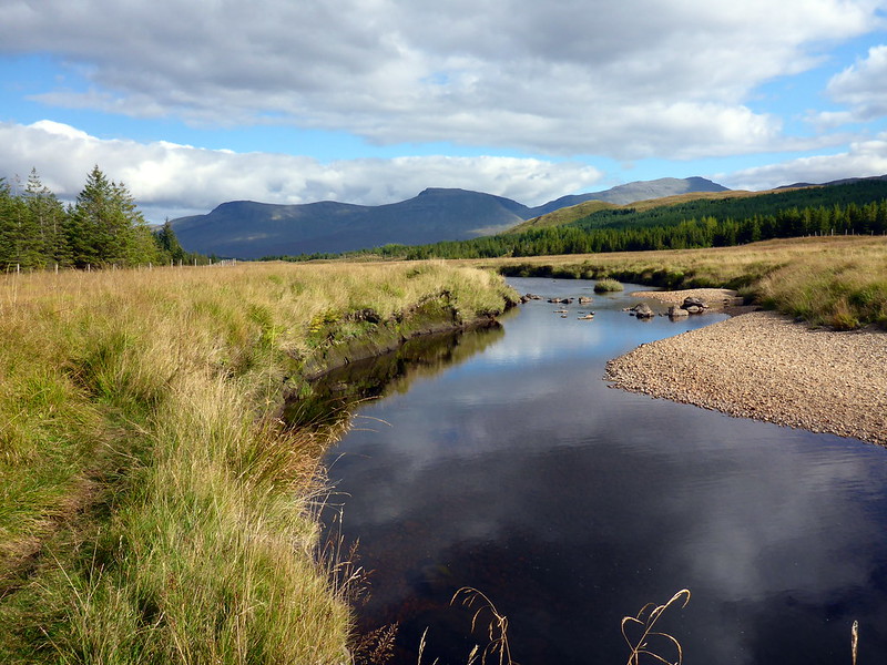
I'd decided to head up Stob Ghabhar to collect a couple of tops there, then head round over Meall Nan Eun and down to Loch Dochart before going up Beinn Suidhe on the other side of the loch. Walked up to the Clashgour hut which was quite busy, then up by the Allt Ghabhar, crossing the river at the cairn and going up the back of Stob Maol to reach Ghabhar itself. I've descended by this route when I've been up before - it's a really easy way to get to the top quickly although you miss all the interest of the Couloir Buttress, so I couldn't really recommend it. Took about 2 hours to get to the top of Ghabhar, just as the mist closed in around me, making the day a little chilly. I pressed on through the clag, following a line of fenceposts over scree/boulders then easy grassy ground to the first top, Sron a'Ghearrain at 990m. The mist was clearing, giving good views of the Etive and Black Mount hills, with Cruachan in particular standing out with the pointy pyramid of Stob Diamh. It was only a short distance to the next top, Stob a' Bhruaich Leith at 941m. I enjoyed the rows of ridges in the valleys ahead.
Stob Ghabhar/ Meall Odhar from the Hut
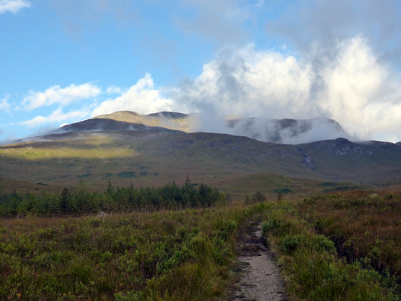 P1030934
 by
23weasels, on Flickr
Meall Odhar
 P1030935
 by
23weasels, on Flickr
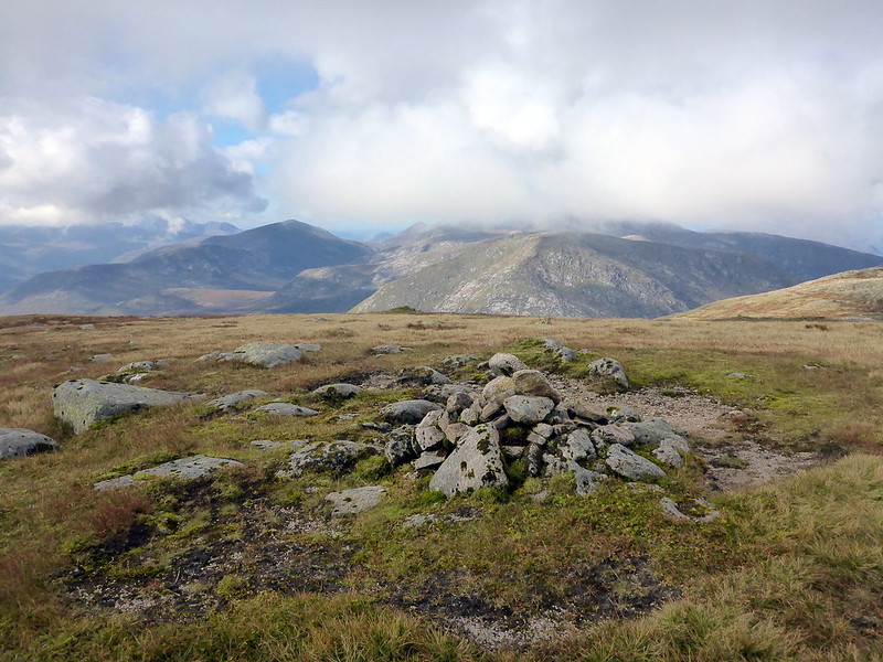
Stob Ghabhar summit
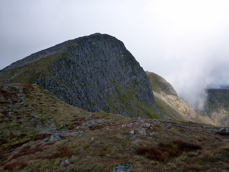 P1030937
 by
23weasels, on Flickr
Coirein Lochain
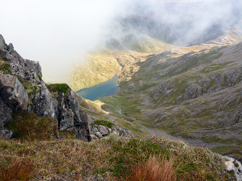 P1030938
 by
23weasels, on Flickr
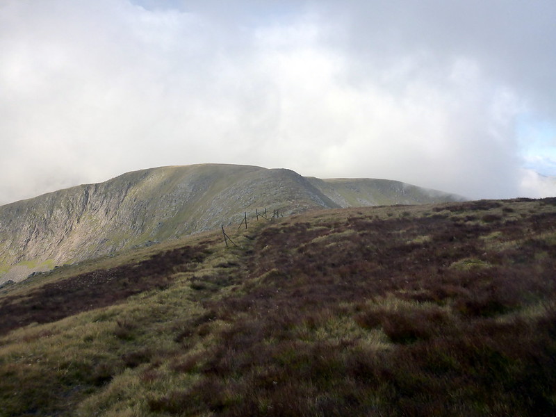
View to first top
 P1030940
 by
23weasels, on Flickr
Sron a'Ghearrain
 P1030941
 by
23weasels, on Flickr
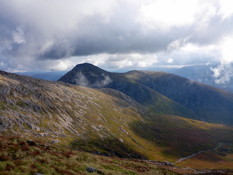
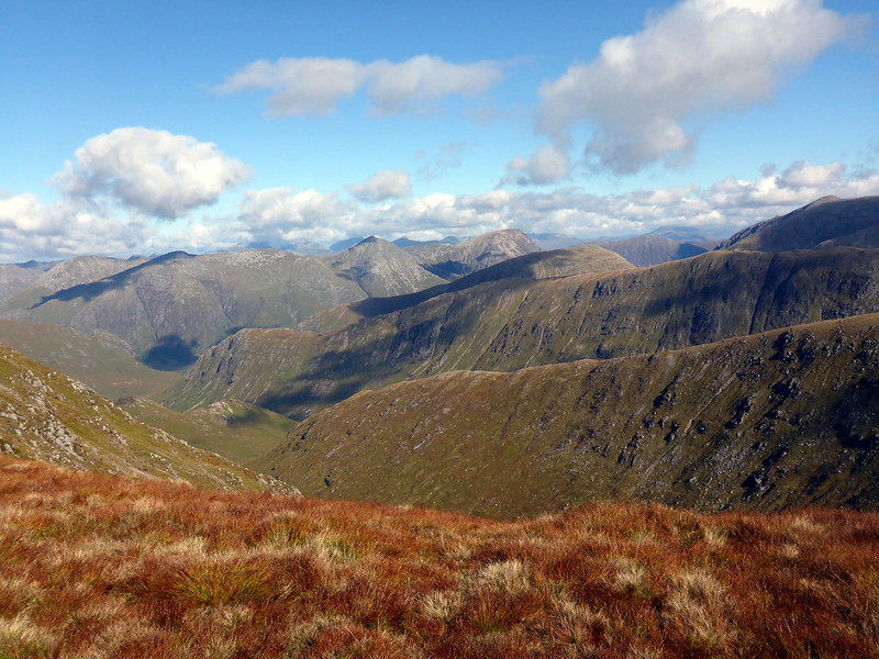
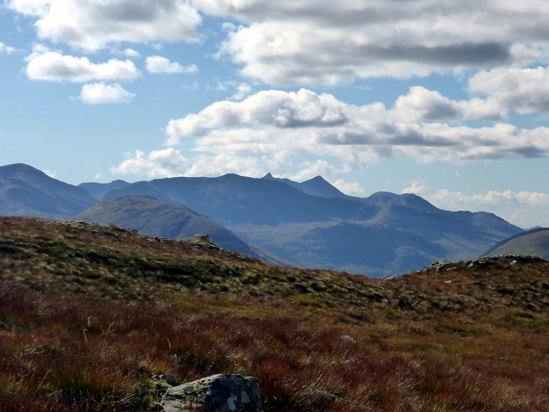
Etive hills
 P1030945
 by
23weasels, on Flickr
Stob a'Bhruaich Leith
 P1030944
 by
23weasels, on Flickr
Top 2
 P1030946
 by
23weasels, on Flickr
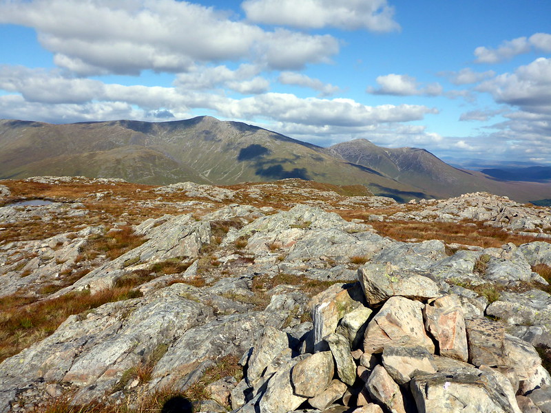
Cruachan/Diamh to left
 P1030947
 by
23weasels, on Flickr
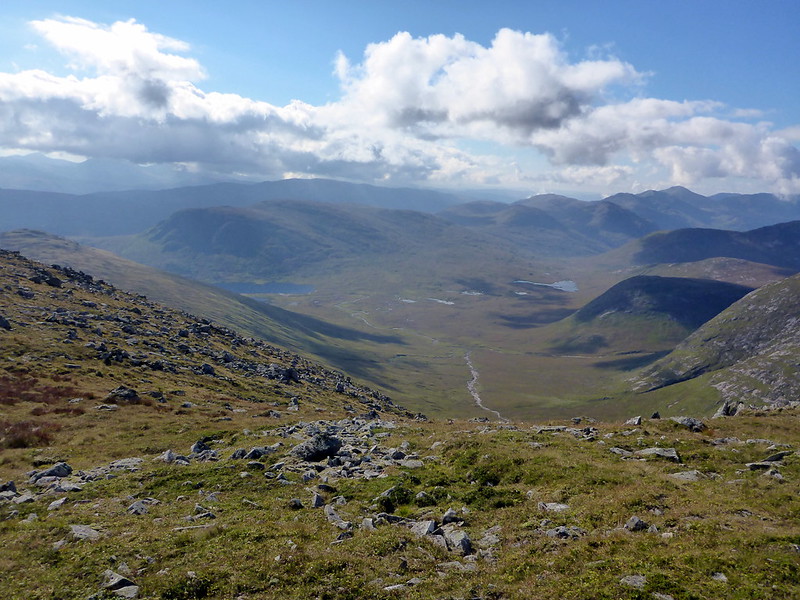
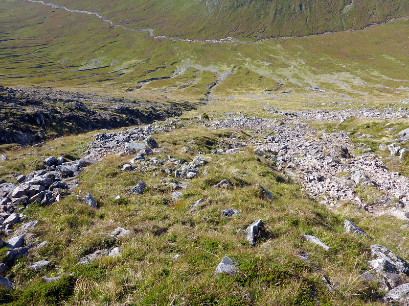
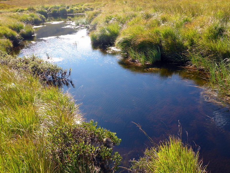
Walking so far had done little to raise my spirits, despite the good weather, views and solitude. I couldn't be bothered walking over Meall Odhar, Meall nan Eun then Meall Tarsuinn as I'd planned so decided to cut straight down SW off Bhruaich Leith and aim for the Allt Dochard. It was fairly steep with some areas of scree, but as Sick Kid wasn't with me, and as I really didn't care too much about steepness today I headed down without difficulty as it turned out. Followed some deer tracks alongside the river and stopped to have lunch on a mossy boulder at about 12.30. I walked on, keeping to the west side of the river, every so often stepping into boggy holes (I'd say this would be challenging in wet conditions due to the bogs). Eventually I came to a watercourse that I had to cross - hadn't really paid attention on the map and there was no way round it. The water was deep and I was apprehensive about whether the bed of the river would be sinky. Fortunately I had my mesh Salomon shoes on today, so I just removed my socks and went for it - water was cool and up to my crotch, but the bed was OK and I got over alright.
View down the Allt to Beinn Suidhe
 P1030948
 by
23weasels, on Flickr
Looking back at Ghabhar
 P1030949
 by
23weasels, on Flickr
Steep down
 P1030950
 by
23weasels, on Flickr
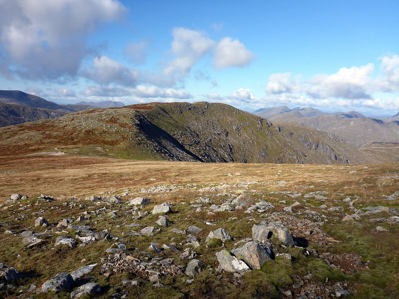
Meall nan Eun
 P1030951
 by
23weasels, on Flickr
River crossing
 P1030954
 by
23weasels, on Flickr
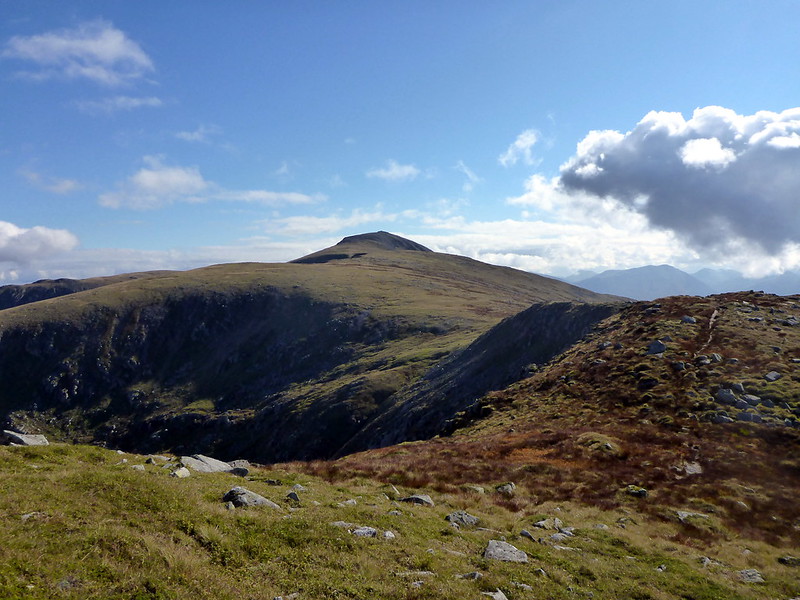
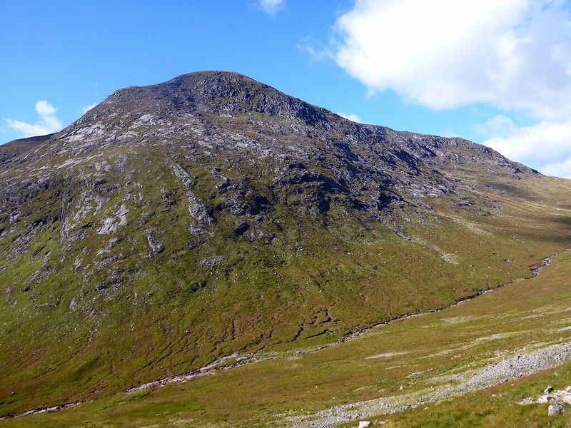
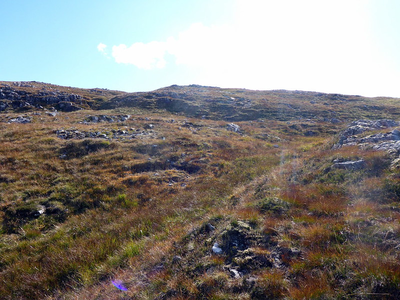
Beinn Suidhe was straight ahead, just a steady slope in appearance from this angle. I came to a vehicle track which I walked along for a short way before heading into Coire Fearna, loosely following the stream course. Was hot work and I felt puffed out. Got to the top section and headed for the cairn. Good views of the line of hills from Glas Beinn Mhor to Meall Nan Eun, with SC an Albannaich standing out proud- "the Peak of the Scotsmen's Coire" - ironic today. Headed off the hill NE, towards Tom Liath and the footbridge over the river. About halfway down I suddenly felt dizzy - most unpleasant feeling. I think I'd probably jarred myself stepping into several holes concealed in the long grass, but it wasn't nice. I had another cup of coffee and something to eat and it seemed to have improved as I got going again. However the bouncy suspension of the Clashgour Bridge wasn't great in my condition - I think that's the swingiest bridge I have walked over

. Then it was a matter of following the footpath along through the trees and back to the Clashgour Hut, by which time I was feeling alright again.
Rough grass up Beinn Suidhe
 P1030957
 by
23weasels, on Flickr
Cruachan
 P1030958
 by
23weasels, on Flickr
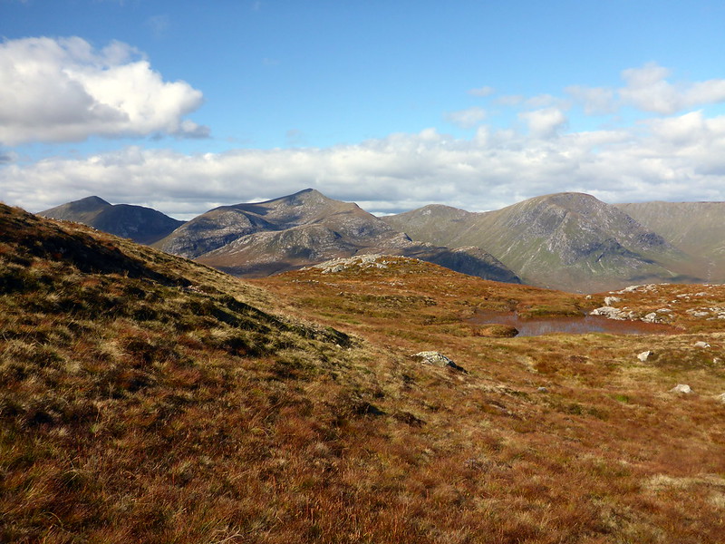
Black Mount hills from Top Suidhe
 P1030960
 by
23weasels, on Flickr
SC an Albannaich
 P1030961
 by
23weasels, on Flickr
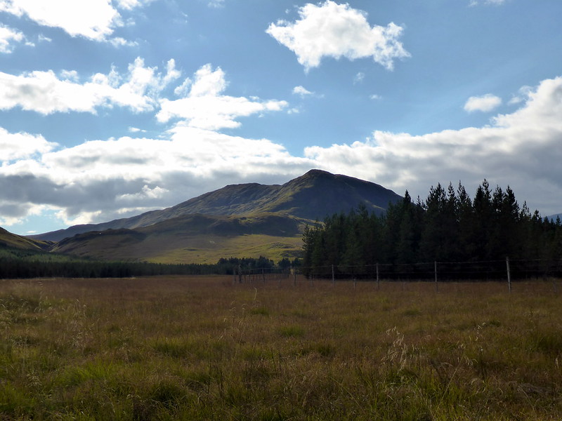
Suidhe from the valley
 P1030964
 by
23weasels, on Flickr
Another view of Suidhe
 P1030965
 by
23weasels, on Flickr
Black Mount
 P1030967
 by
23weasels, on Flickr
Back to the car, Victoria Bridge car park pretty full by now. No tears driving down the road. The mountains had obviously helped with those feelings. Now I'm angry.
Stats (a bit off as didn't start quite at the beginning)
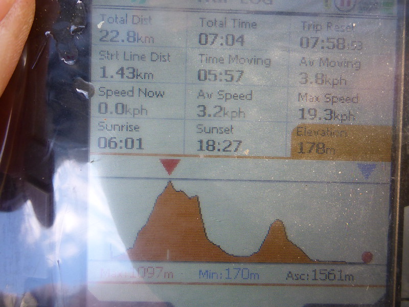 P1030968
 by
23weasels, on Flickr
