free to be able to rate and comment on reports (as well as access 1:25000 mapping).
Grahams: Hartaval, The Storr.
Sub 2000 Marilyns: Meall a' Mhaoil
Date: 27/11/2014.
Distance: 10 + 1.5km.
Ascent: 870 + 240m.
Time taken: 2 hours, 50 minutes + 35 minutes.
Weather: Mostly sunny, calm, mild. November - really?
Sitting on top of Biod an Fhithich in October, I wondered when I'd get the chance to get over to Skye and go up my last unclimbed Graham in the area - Hartaval. I was half tempted to drive up after getting down Biod an Fhithich, but I'm glad I didn't, as when I got to work the following Monday, I was asked to go and look at some springs up in Kilmuir, on the northern end of the Trotternish peninsula

. It might have taken about 5 weeks to organise that 'urgent' visit, but at least it coincided with some great weather.
I left the house at 6:20 am, was in Kilmuir for 9 am, and was done with work by 10:30 am. Perfect

. Kilmuir is a great spot for looking at Harris - I've never seen it looking this close from the 'mainland' before.
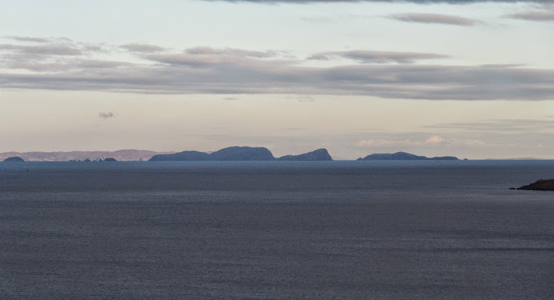
Shiant Isles from Kilmuir:
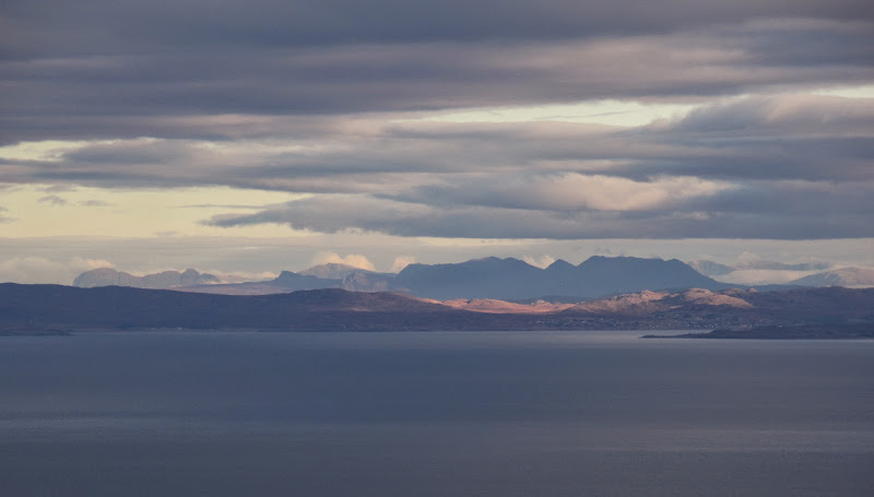
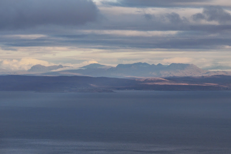
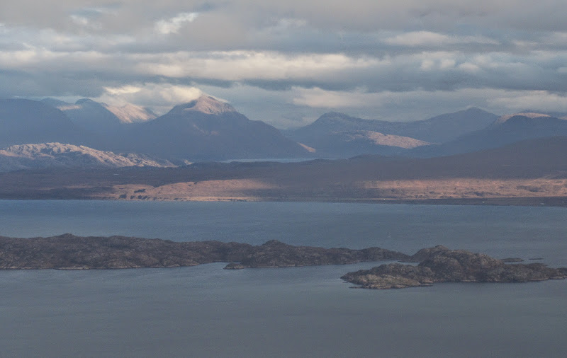
Harris and Lewis:
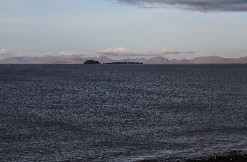
…with a zoom to Todun and Caiteaseal (which has a reputation as one of the remotest hills in Scotland). An Clieasam also lurking off to the left:

I had choices for getting round to the Storr lochs - via the Quiraing road or right round the north of the island? Tough choice but I went for the northern route, and was parked at the foot of the Old Man of Storr footpath for 11:15am.
Quiraing from near Flodigarry:
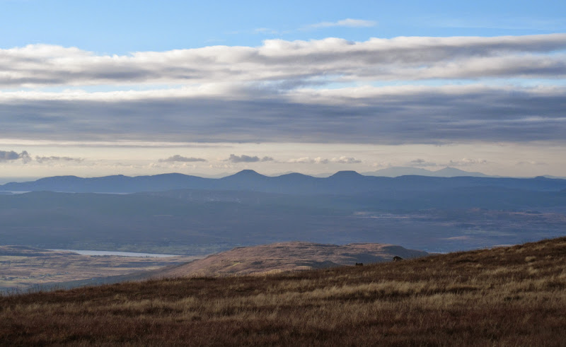
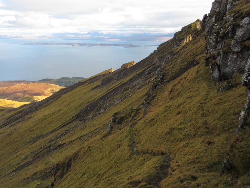
Easy walking up a well-made path took me to the Old Man area. The recently removed forestry is a bit of an eyesore at present, but on the plus side, you get amazing views in all directions from the word go. The light was fantastic today, but low enough to make photography a little frustrating. There was also lots of 'spot the hill' with sunlight falling randomly on various mainland summits as the day went on.
Fisherfield, with Beinn Lair catching the sun on the right:
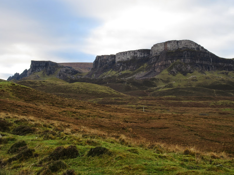
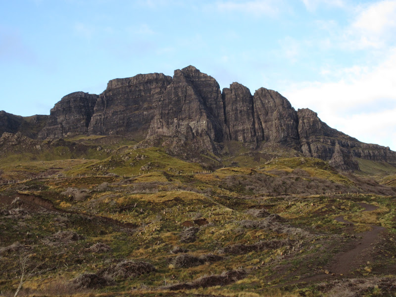
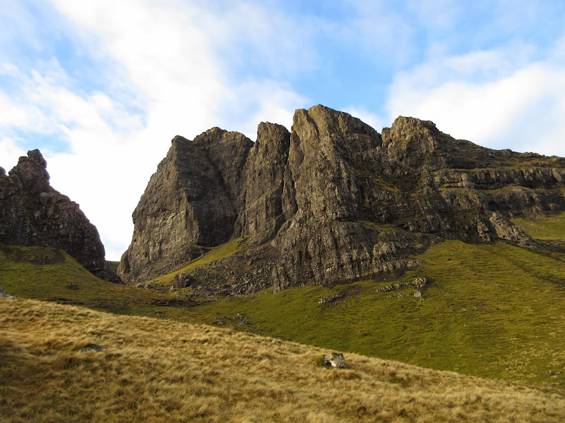
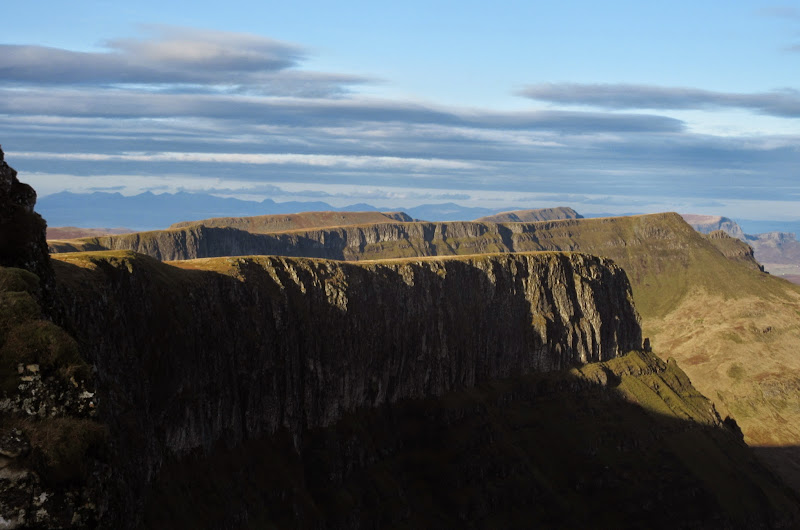
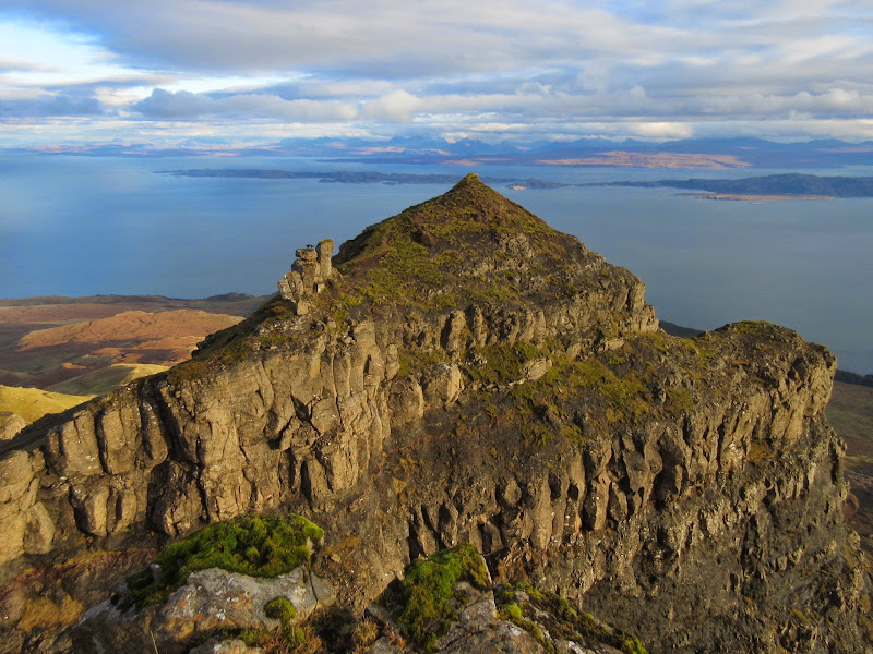
The Storr:
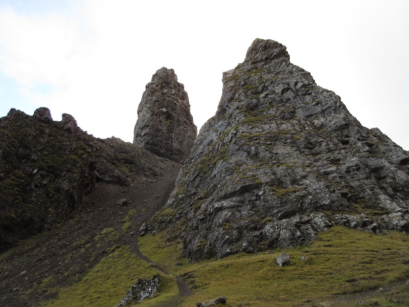
Under the Old Man, I decided to leave the sightseeing until later and headed directly to the fence at the northern end of the corrie, where a well defined path takes you on a rising contour around the north ridge of The Storr. I'd gone for bagging mode - get up Hartaval first then see what else I have time for.
Suilven to Beinn Mhor Coigach:
The Old Man and The Storr:
East from the Old Man of Storr:
Bheinn Ghobhlach and Sail Mhor:
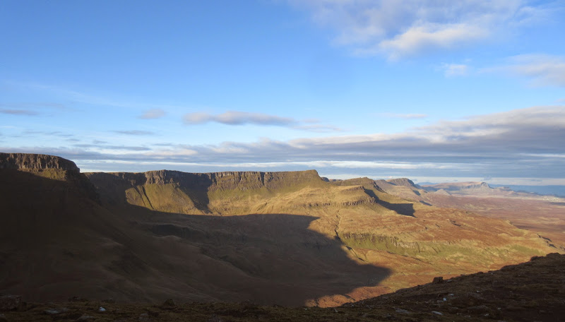
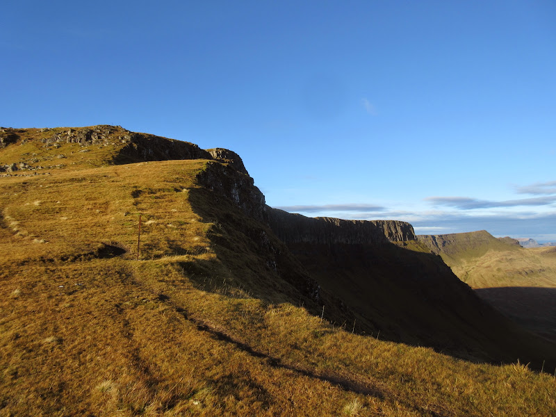
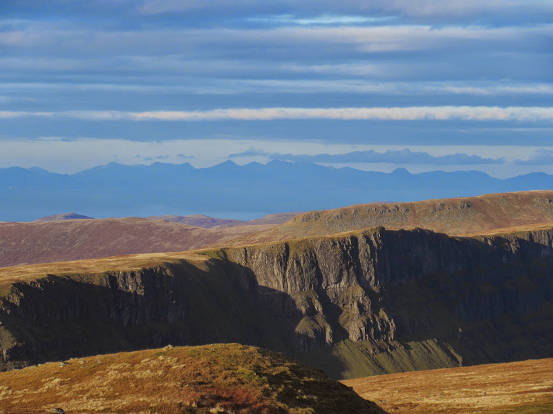
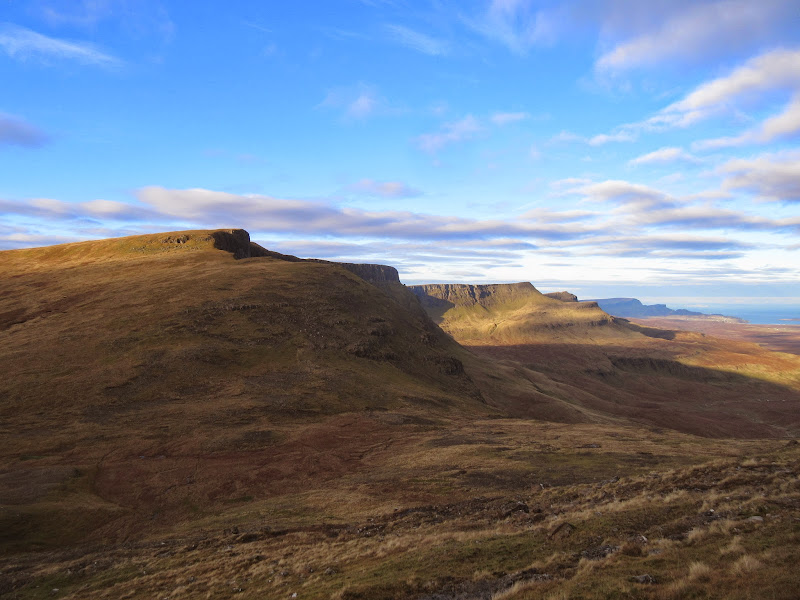
I'd opted for trainers today - nice and fast for the up, but a bit slippery for the descent to Bealach a' Chuirn. Once across that it was an easy climb up onto Hartaval, following the edge of the crags. Hartaval is one of the less imposing summits on the Trotternish ridge, but it is still pretty impressive. Mind you, looking from this direction, the best bits of The Storr are hidden, and it looks like a rolling grassy mound.
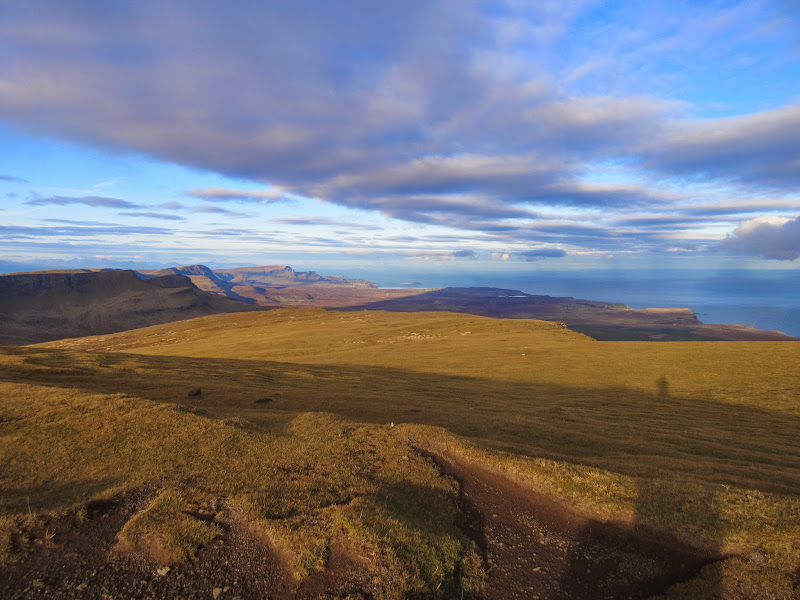
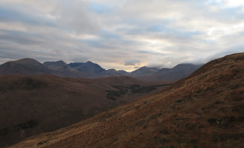
North along the Trotternish ridge – Baca Ruadh in the foreground:
North to the Quiraing:
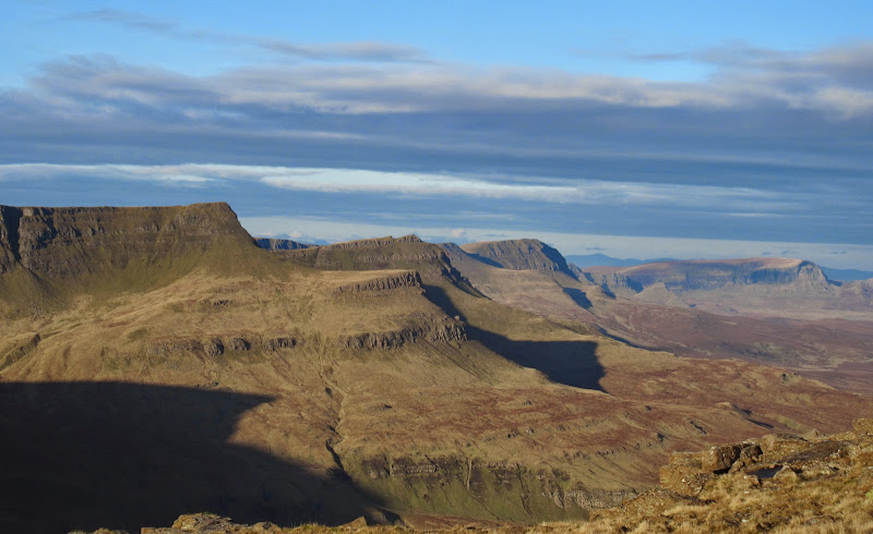
The whole ridge north:
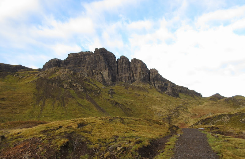
The Storr is pretty tame from this side:

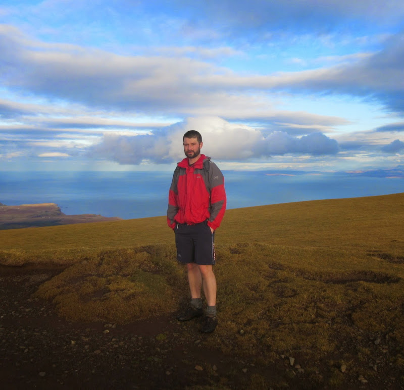
Ascending Hartaval:
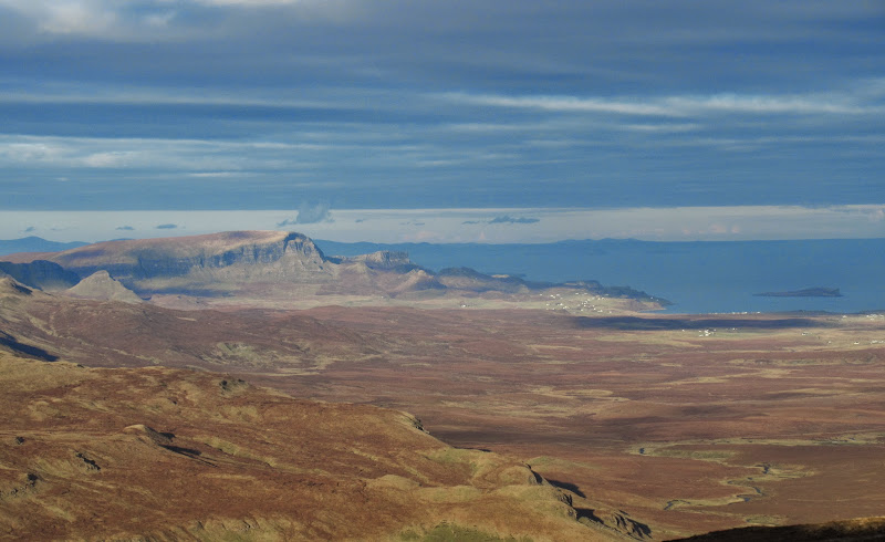
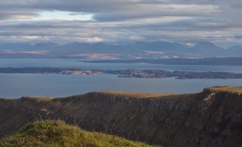
Trotternish with the North Harris hills in the background:
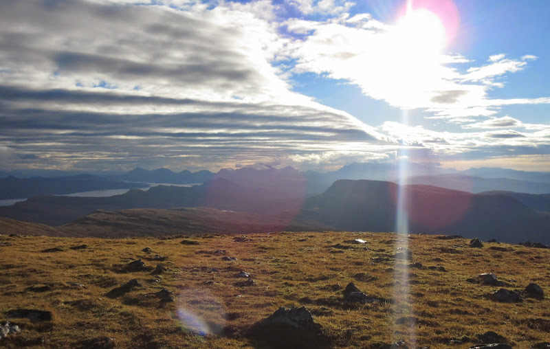
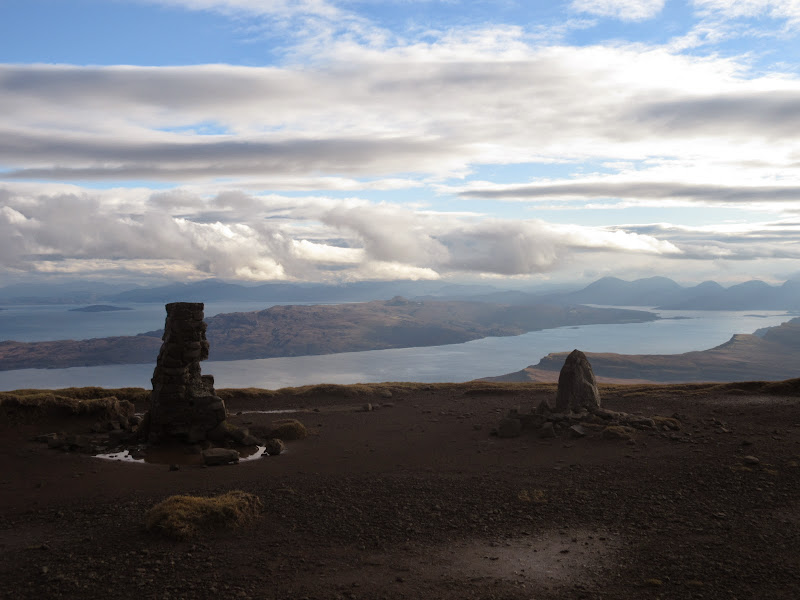
More peak spotting from the summit, where I stopped for 10 or 15 minutes. Grandstand views both east and west.
MacLeod’s Tables with Beinn Mhor and Hecla behind:
Coigach again:
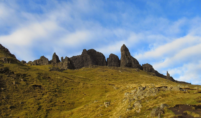
Summit of Hartaval:

South to the red and black Cuillin:
North Harris:
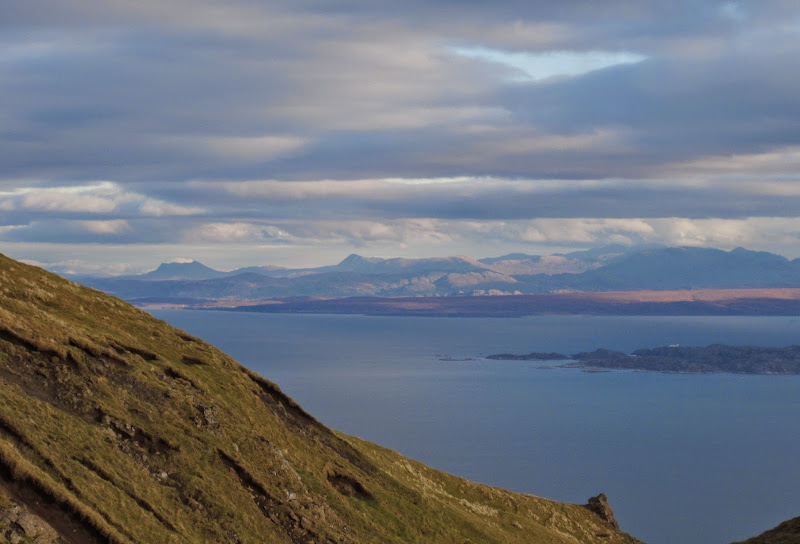
Torridon:
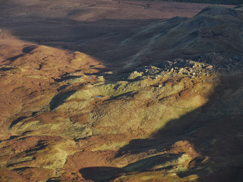
Coire Lealt:
Eaval and North and South Lee of North Uist:
Baosbheinn catching some sun:

Then it was back down to Bealach a' Chuirn. where I decided that taking in the summit of The Storr would probably be just as quick as contouring around it. Once over the initial bog at the col (wet feet for the first time today), it was easy grassy meandering up to the trig point. In fact it was so easy I thought my watch must have stopped when I made the summit in 15 minutes!
Hartaval from The Storr:
Raasay from The Storr:
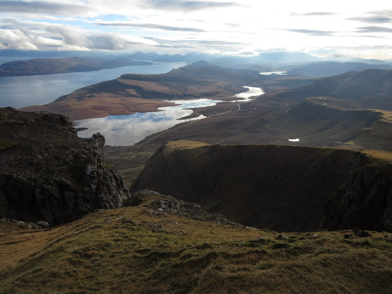
The contrasts on the summit are amazing. The summit of The Storr is even smoother, drier and grassier than Hartaval, yet meters away lie some of the most ferociously steep crags on Skye (and that includes the Black Cuillin). Very similar to my last walk up here, although with much less wind. I admired the tottering pinnacle of choss nearby, but again decided not to try climbing onto it (probably quite easy, although rather loose and exposed).
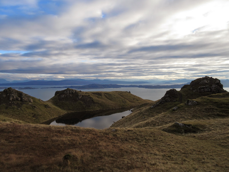
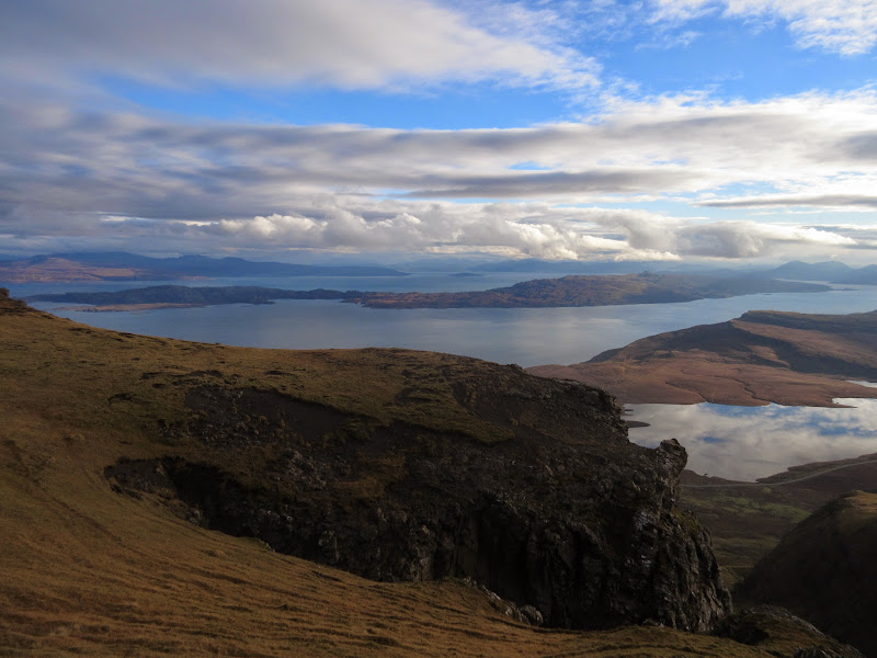
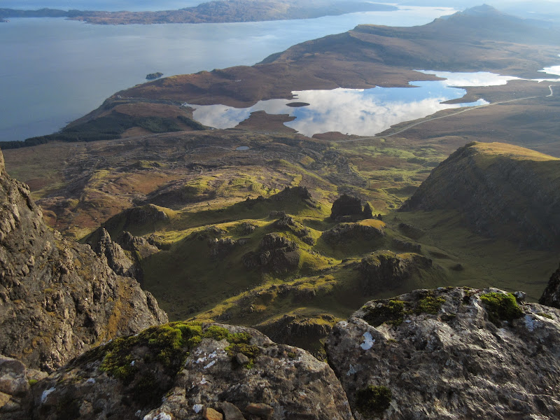
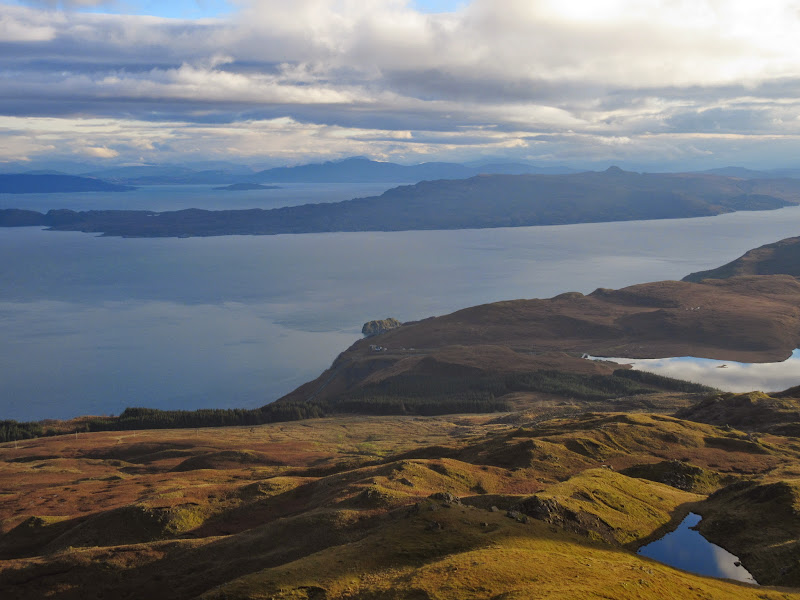
The Storr Lochs:
Isle of Rona:
Summit shot:
North along the Trotternish ridge:
Tottering chossy pinnacle on The Storr:
Down into Coire Faoin:
Beinn Eighe and Liathach:
I decided to check out the direct way down from above - a small gap in the cliffs which would allow me to drop onto the traversing ascent path. Up close it looked much more straightforward than it had from below, even with a marker cairn and a zigzag path trodden down the steepest sections. It didn't take me long to drop down to my outward route.
Shortcut down from The Storr:
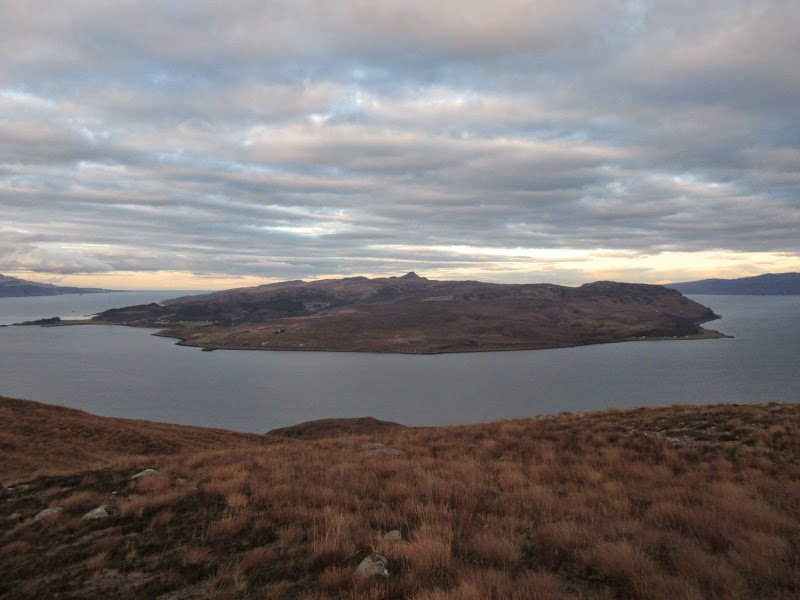
Raasay:
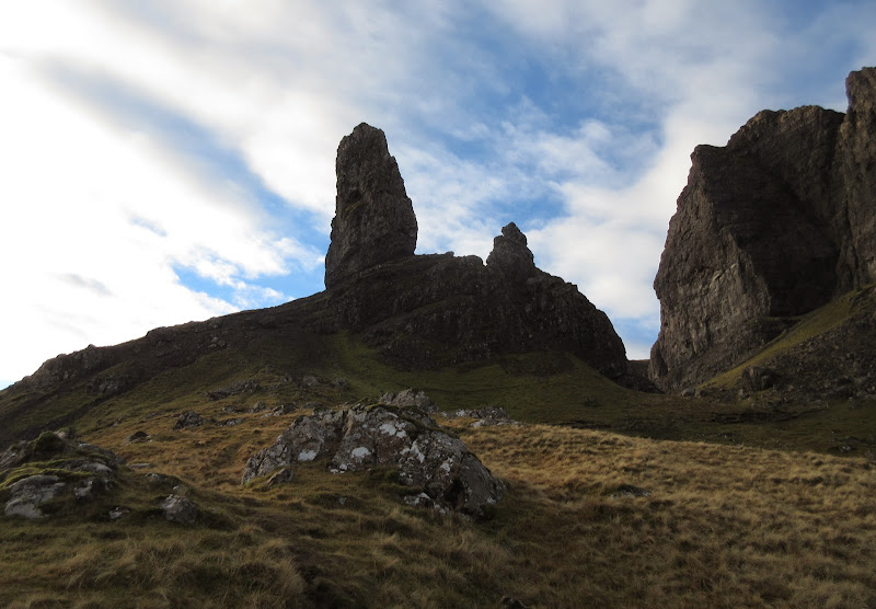
Plenty of time to spare, so I took a quick detour to the 504m knoll just off the path, then wove around the Old Man and Needle Rock. As impressive as ever, although the sun was in the wrong place to get much more than silhouette shots of everything. As usual I was awed by the 200m sheer cliffs that make up the eastern aspect of The Storr. Up close, they are overwhelming, and you can see where a rather large chunk of cliff must have broken off in the not too distant past.
The Old Man:

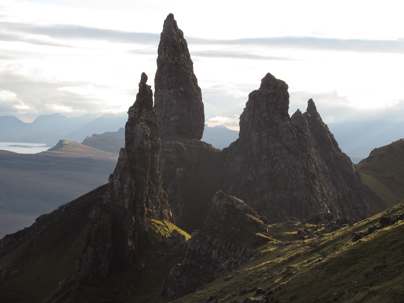
Needle Rock:
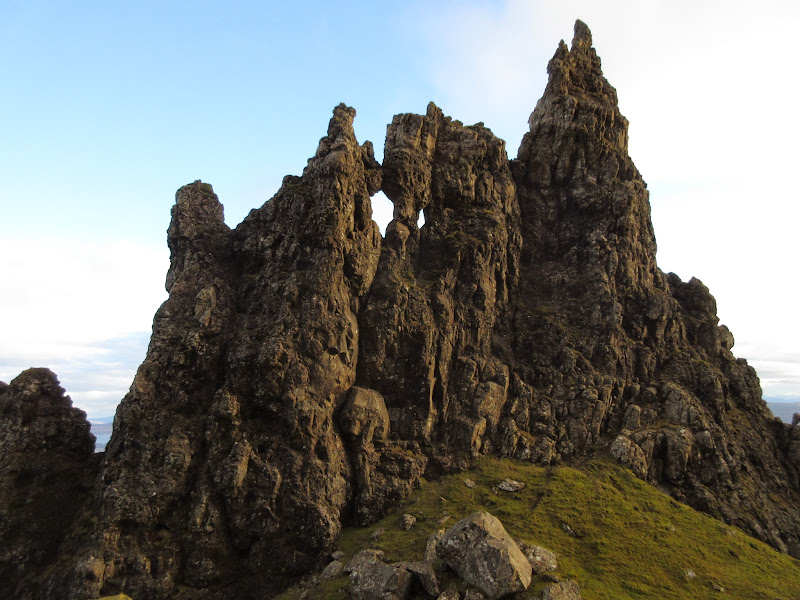
Storr cliffs:

After this little weave through the pinnacles, I dropped back down the ascent path to the car, passing quite a few folk on the way. Busy even in midweek in November.
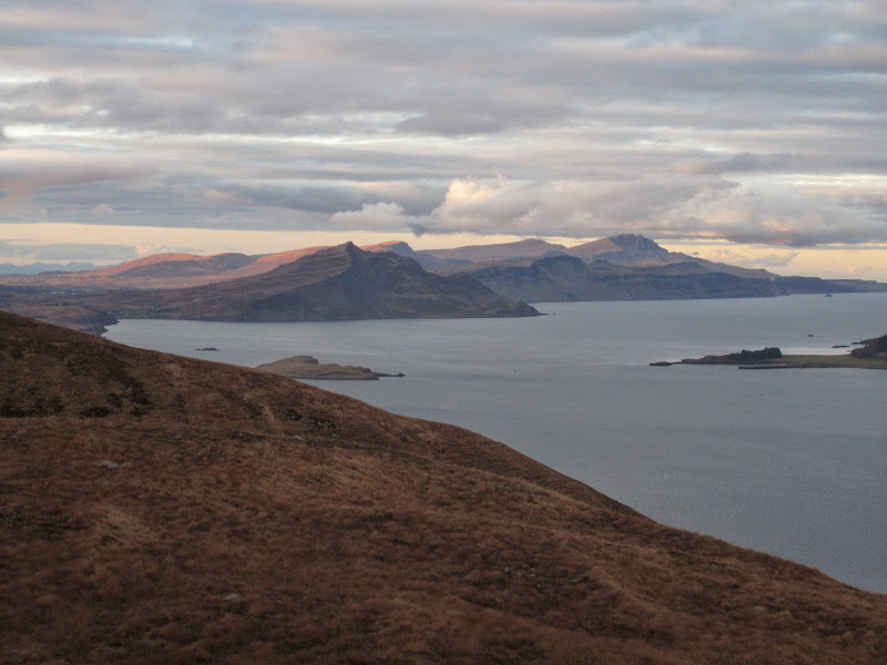
It was still fairly early, so I decided to throw in another quick hill on the way down the road. Meall a' Mhaoil is a conveniently small Marilyn with little in the way of features other than having great views of Raasay, Scalpay and the Red Cuillin. I've had it in mind as a handy quickie for the last few visits to Skye now - time to cash in.
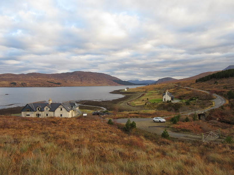
I went for the shortest route, which involved taking the old main road past Sconser quarry and round the coast. The condition of this road is terrible - even the properly surfaced bits seem to have been rolled out by a tracked vehicle, and feels like driving over corrugated iron sheets. You would be lucky to break 30mph on most of it! However it does get you nicely away from the bustle of the A87.
I parked at the track junction next to Luib na Moil - plenty of room here. Then it was straight up. The terrain here couldn't be more different to the Trotternish - deep tussocks and heather. I went for a minimal fell-running approach and left everything but my camera and keys in the car. Not that I managed to run a step of the ascent, as it was brutal.
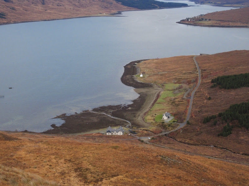
Luib na Moil:

North through Caol Mor:
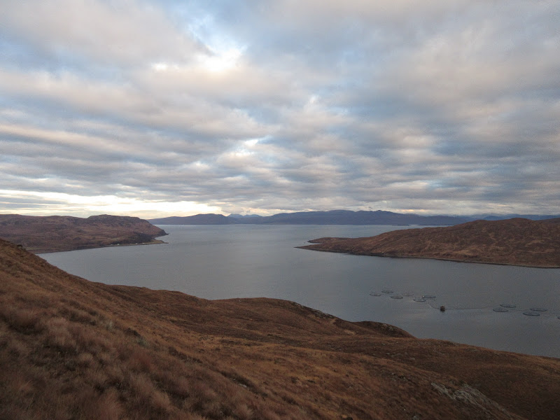
Garbh-bheinn and the Red Cuillin:
Not for long though - about 20 minutes of hard work saw me on the summit. The sun had gone but the views back up the Trotternish and out to the islands were well worth it.
Ben Tianavaig and the Trotternish hills:
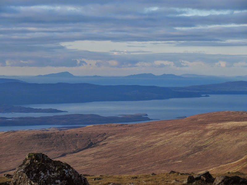
Harris hills – Tiorga Mor and Oreval:

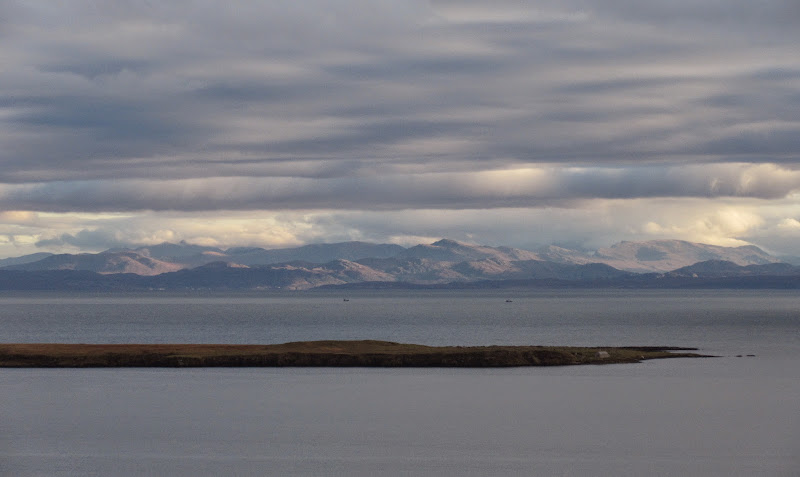
Raasay from the summit of Meall a’ Mhaoil:
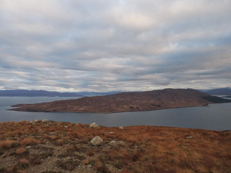
…and Scalpay:
Then I took a similar line back down, although slightly further west. A little faster than going up, but my shoes were a little slippy again, so I took my time on the wetter parts.
Back down to the car:
Pretty much a perfect day out - certainly ties with my Raasay trip back in May as the best work-related day out this year
.
