free to be able to rate and comment on reports (as well as access 1:25000 mapping).
Living in Perth, I find it all too easy to look north when it comes to planning hillwalking routes. Why would you drive to the South Lanarkshire or Galloway hills when you can just as soon (or sooner) be on most of the generally higher, more celebrated hills of the southern and western Highlands?
In my adult life, I have only once planned a route in the Southern Uplands. That was last summer and I only did that to mark a special anniversary that had particular, personal significance and poignancy in relation to that area. But then Alan Bellis (WH's very own legendary Mountainstar) invited myself and a dozen or so others to share his 60th birthday celebrations in Brattleburn bothy near Moffat. It was conveniently placed not only for those of us traveling down from the Central Belt and further north, but also for those expected to attend after having traveled up from Wales, Lancashire and Cumbria.
The date was Saturday 24th January and as happy as I was simply to be there to share in the celebrations and to spend a night in an unfamiliar bothy in the company of a dozen or so friends, a stack of beer and whisky and a load of coal, I was keen to tie in some actual hillwalking too. Weekends away are a relatively rare luxury these days so they have to be maximised, and as I have said, it gave the opportunity to explore unknown and unfrequented parts of the country.
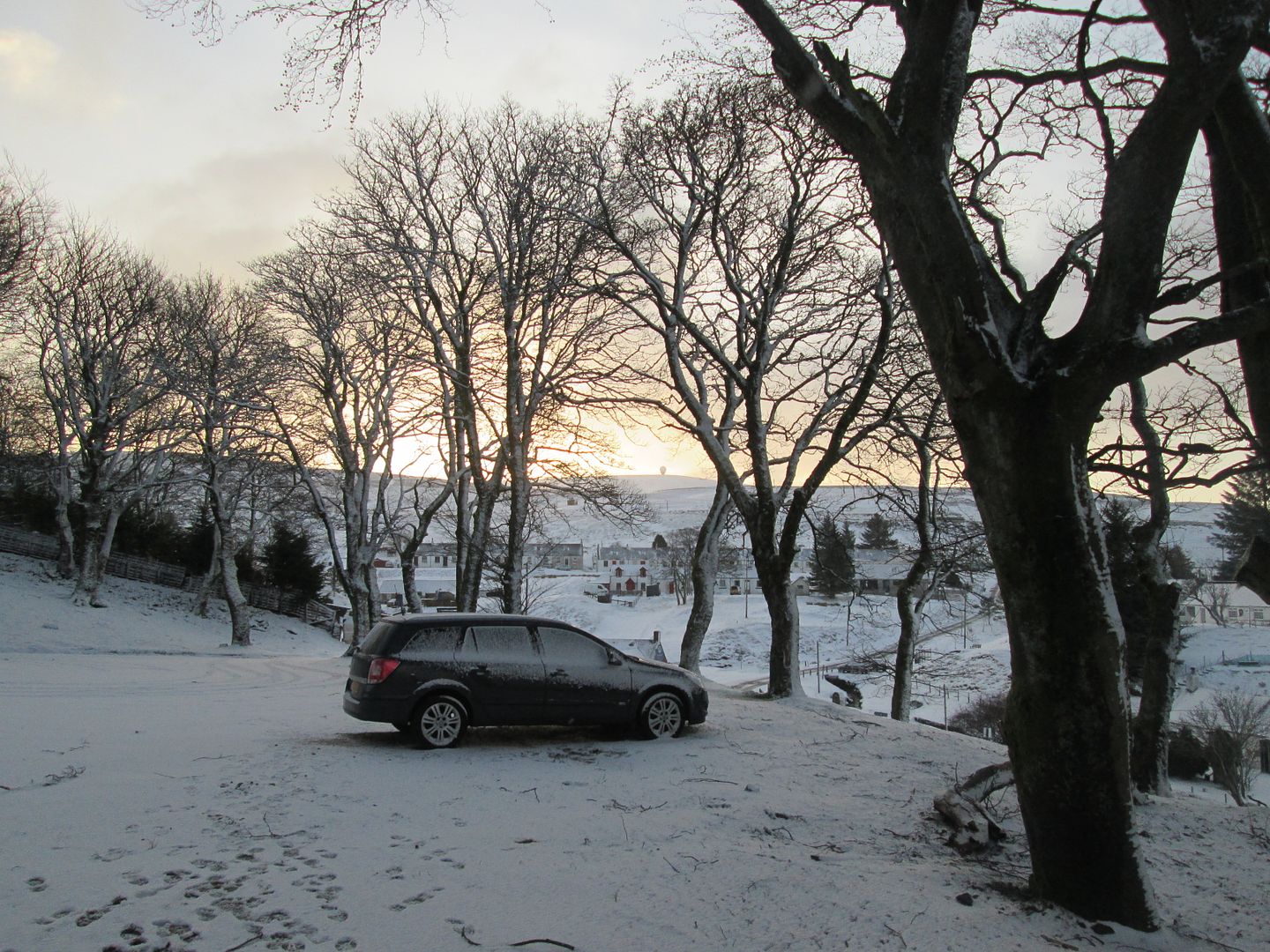
I was keen to head south on the Friday night and toyed with the idea of camping close to the Daer Reservoir which would allow me to do the hills there before heading to the bothy on the Saturday evening. In the end I booked myself into the wigwam accommodation at the Wanlockhead Inn and targeted the round of the Lowther Hills instead. I had never been to Wanlockhead before but was familiar enough with the name. In my childhood, when my grandparents were alive and lived in Muirkirk in East Ayrshire, my Papa and I would often walk from there over the old drove road and right of way to Sanquhar and Wanlockhead, although we would never go the whole way before turning back for home. We would also go fishing on the Duneaton Water near Crawfordjohn which itself is not all that far from Wanlockhead.
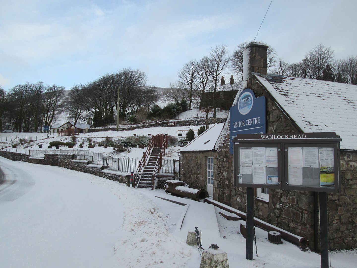
Wanlockhead is of course famous for its claim to being the highest village in Scotland. Along with the nearby village of Leadhills, it is also famous for its role in the mining of lead, silver and gold. By the time I got there on Friday night, it was dark and there was little to see of the village itself, rather spread out and dispersed as it appeared to be. The road system of the village temporarily got the better of me as I struggled to find the Inn but after a few wrong turns and drive-bys, I eventually located it set back from the road amongst some trees.
It is a rather odd looking place, more like someone's house from the outside than a pub. Inside were four blokes, all of whom appeared to be local and to know one another well. Two appeared to be owners or at least employees. After a quick introduction, I collected the key to the solitary wigwam in one corner of the large car park and made myself at home, before heading back over for a few pints.
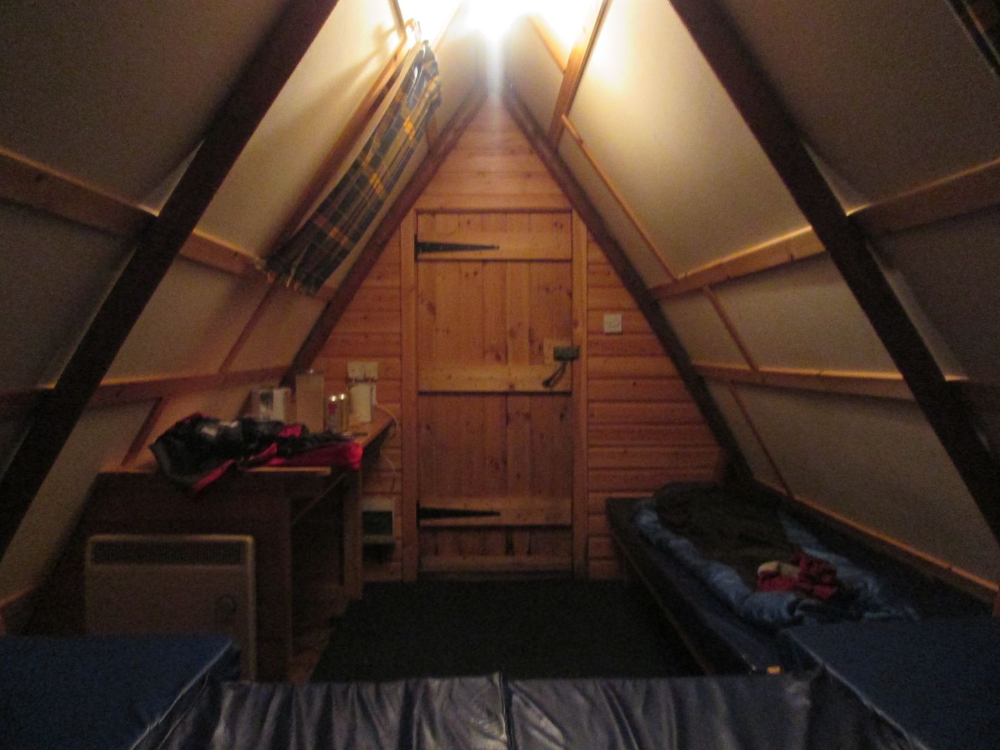 In the wigwam. £12.50 and this could be yours for a night!
It certainly was a curious place. Friendly enough, but I got the distinct impression they don't get many outsiders in the place, at least not in the dead of winter. Once I had established that these four blokes and myself were likely to be it for the night, I shelved my plans for having dinner in the place. It didn't take Einstein to figure out that one of them would be cooking it and that it was unlikely to be cooked from fresh. In the end I decided to have one of the wraps I had with me in my pack.
Another two folk, an older couple from the village, did come in for their nightly drink a bit later and upon seeing me, the bloke turned to one of the other guys and asked "Who the f**k is he?" One of the owners asked what had brought me to sunny Wanlockhead on a night like this and I explained that I was on my way to a friend's 60th birthday party in a bothy near Moffat but was planning on walking tomorrow first. This seemed to translate as I was planning on walking from here to Moffat where I was going to go out on the pull in Moffat with a bunch of 60 year olds! "Avoid the Star!" shouted one of the locals. "Good luck" exclaimed another. "I hope your immunisations are up to date" laughed a third. Several times I tried to set the record straight, but they had decided that their version sounded better........
Despite it being quite an early night, I still managed to sink four pints before seeing off a can of cooking lager back in the wigwam prior to turning in. It was nice and toasty during the night with the heater on, although on the first of many sorties out to go behind a tree and answer a call, I was surprised to see chunky snowflakes falling and beginning to lie.
The morning found me feeling strangely groggy and rough. I managed some porridge and coffee but couldn't help but wonder whether the place had dodgy beer pipes! A couple of times I felt the heave coming on, only for it to pass until eventually, it passed no longer and I had a Huey Lewis moment in the car park. Fortunately it was only the coffee that came out, so the evidence was easily covered up, and I felt immediately much better for the experience.
 The Lowther Hill golf ball from the Inn
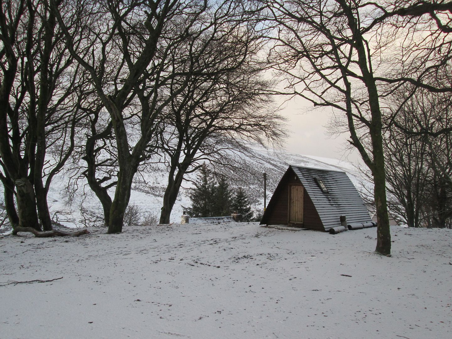 The wigwam
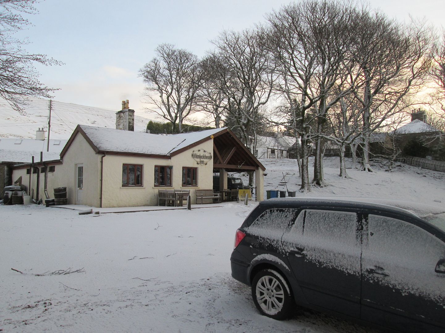 The Inn. Dodgy pipes?
After tidying up the few items I had taken into the wigwam, I packed a light daypack and headed down into the village centre where I picked up the Southern Upland Way which climbs south east out of the village and up to connect with the service road for the various installations on top of Lowther Hill and Green Lowther.
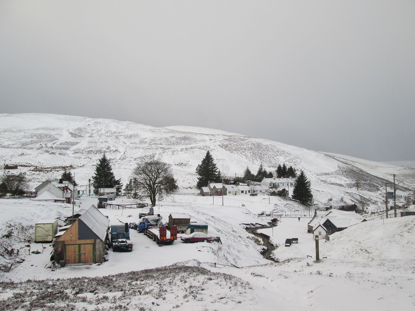
 The throbbing heart of Wanlockhead
I passed a couple who had just parked and were getting themselves ready and they expressed surprise that I had come all the way from Perth on a day like this to do this walk. I explained my ulterior motive for being here, which seemed to bemuse them even further.
 On the SUW climbing out of the village
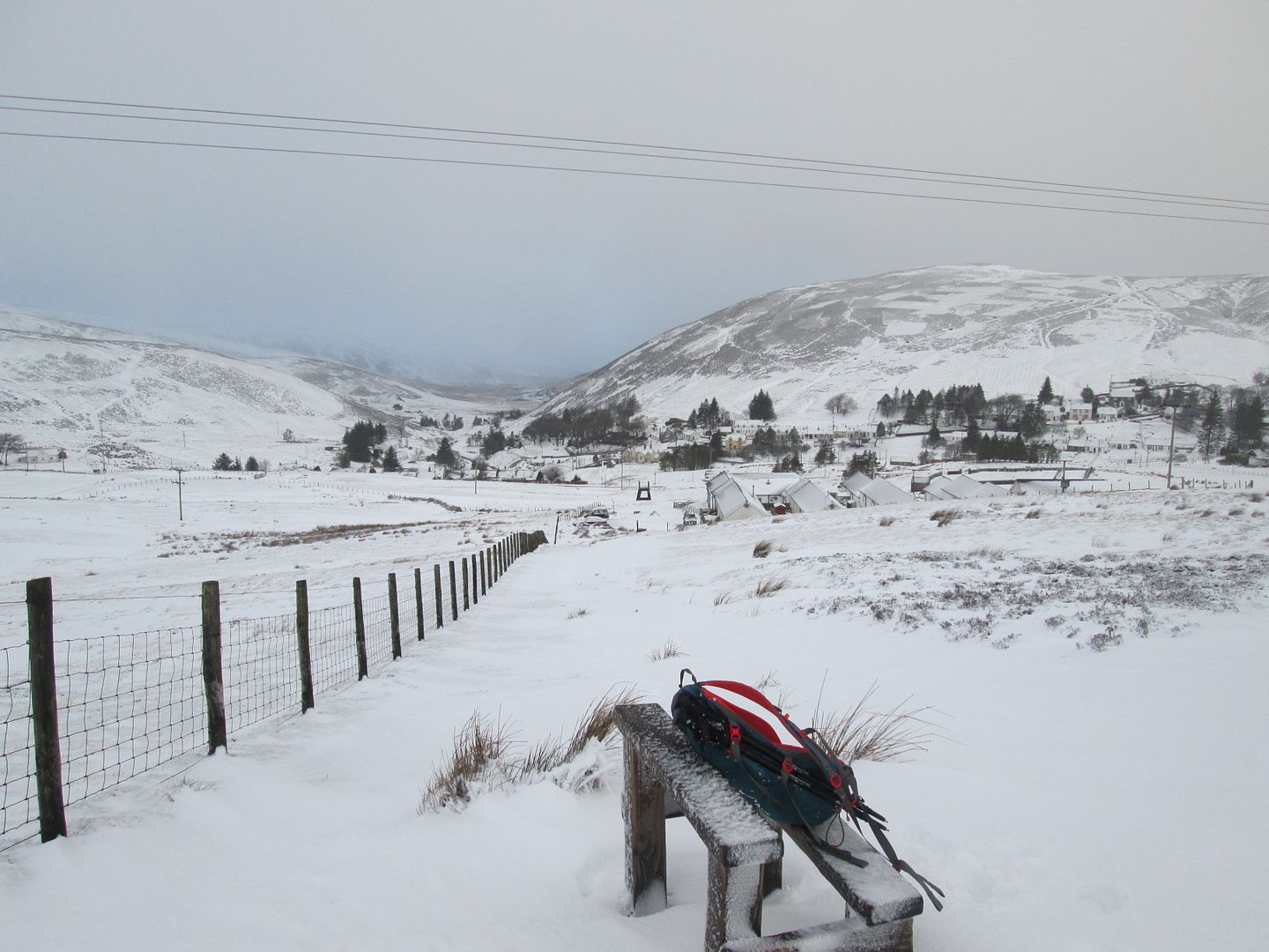 Gaining height quickly, looking back down on the scattered buildings of Wanlockhead
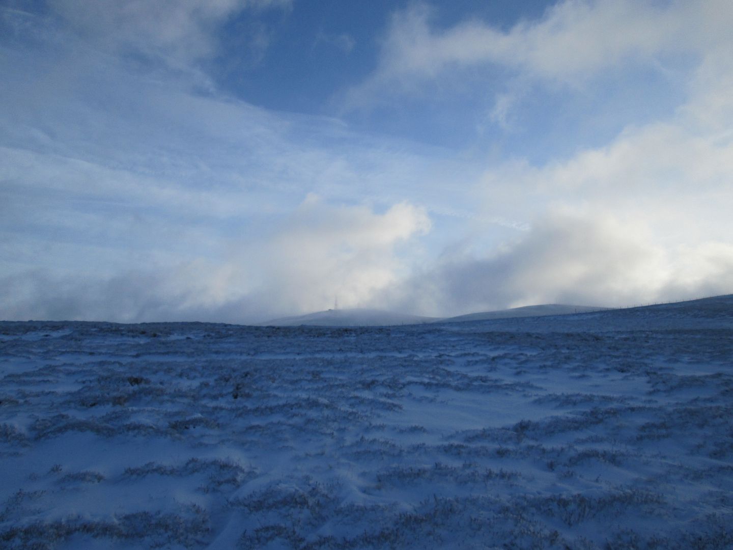 Green Lowther
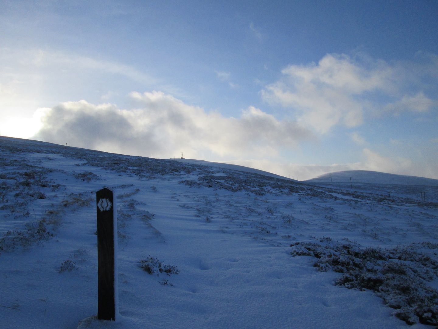 Lowther Hill and East Mount Lowther
I had the 5 Donalds in mind (that Alan McConnachie has a lot to answer for!) but knew that I might be pushing it, especially with a later than planned start and if I wanted to get most of the walk in to the bothy done without the headtorch. So the south western three were the main priority. Dun Law and Louise Wood Law at the north eastern end of the range could be left out if it came to it.
It was a beautiful morning as I gained height on the SUW and eventually connected with the tarmac service road, although the benefits of a tarmac road were largely negated this morning by ice and deep snow drifts.
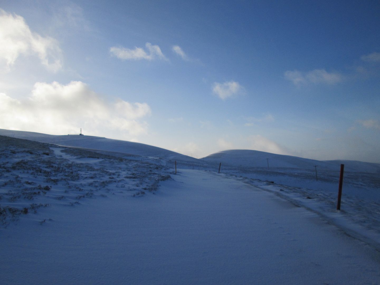 Onto the road
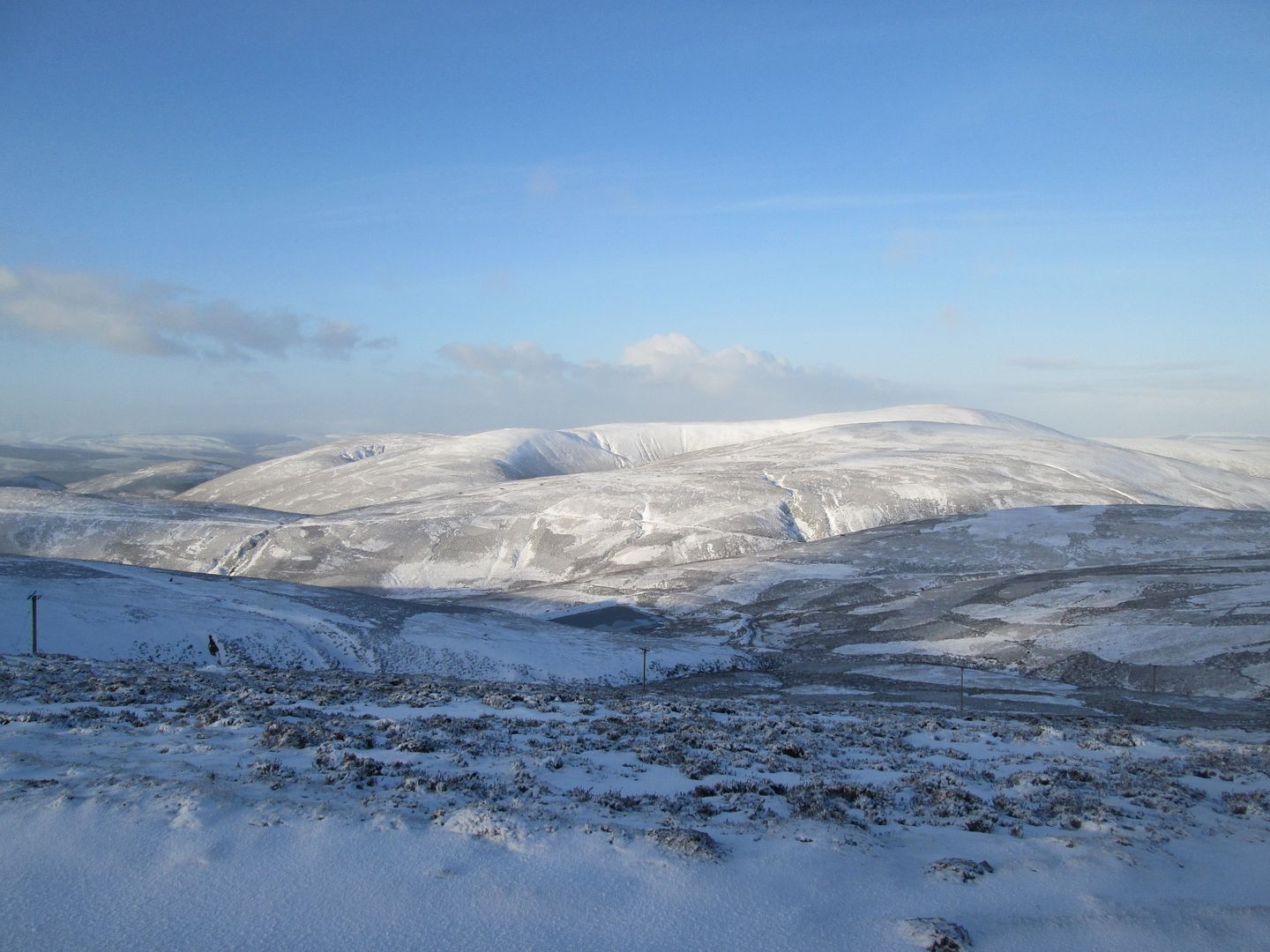 White Dod
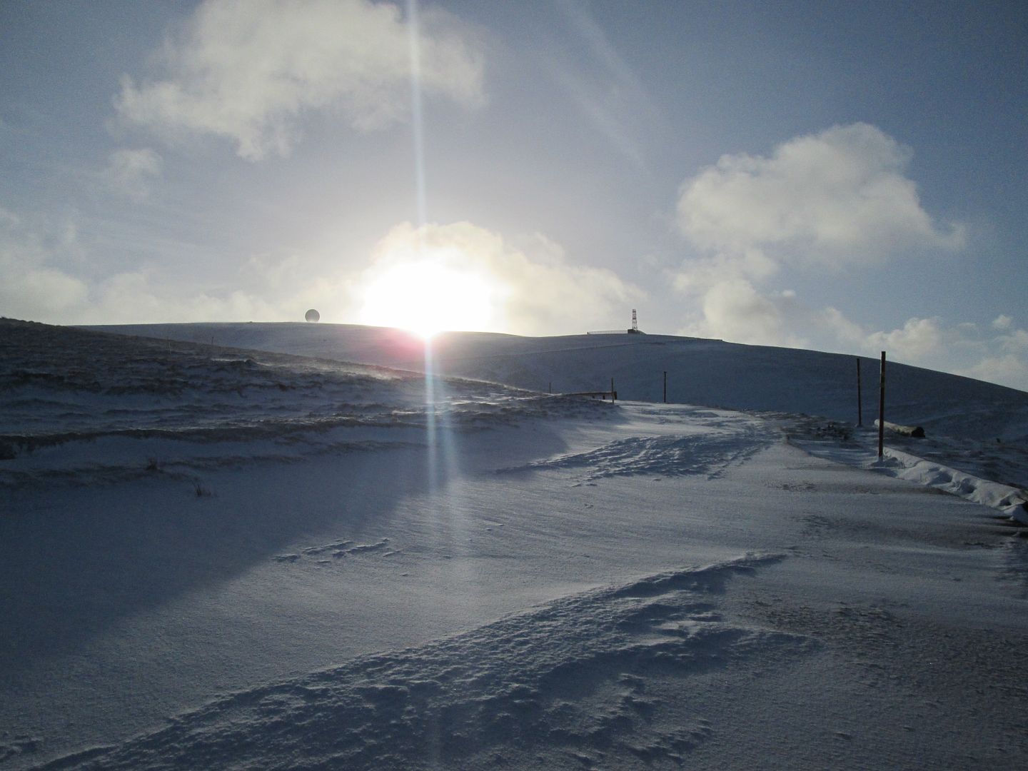 The golf ball comes into sight
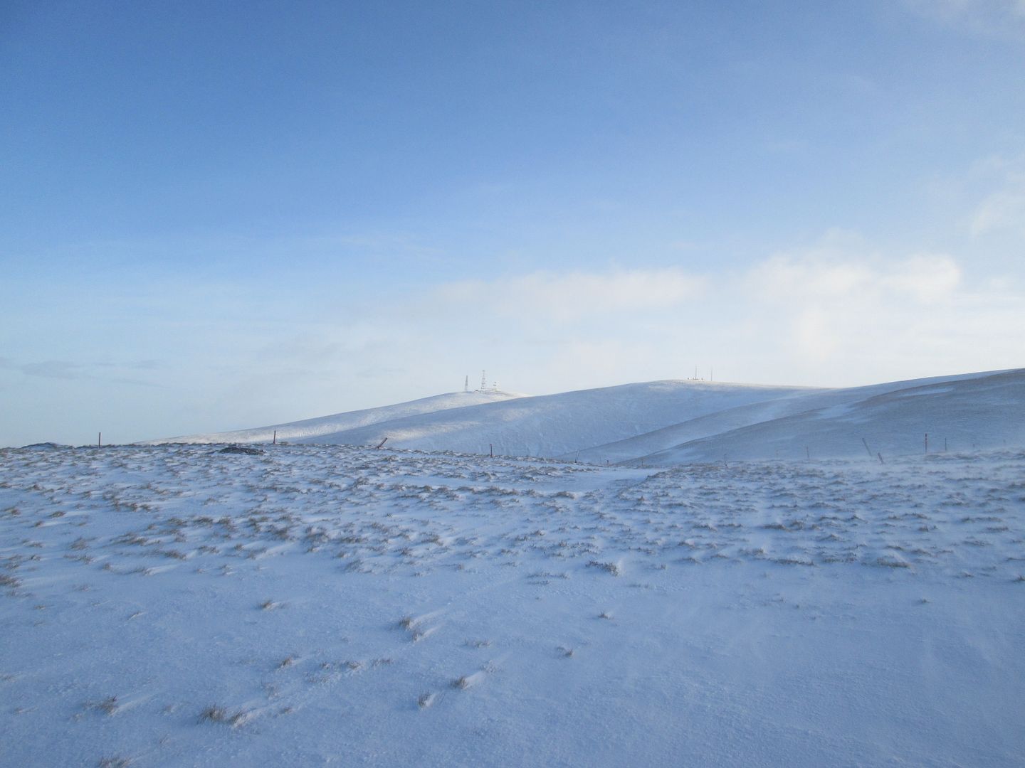 A clearer view of Green Lowther
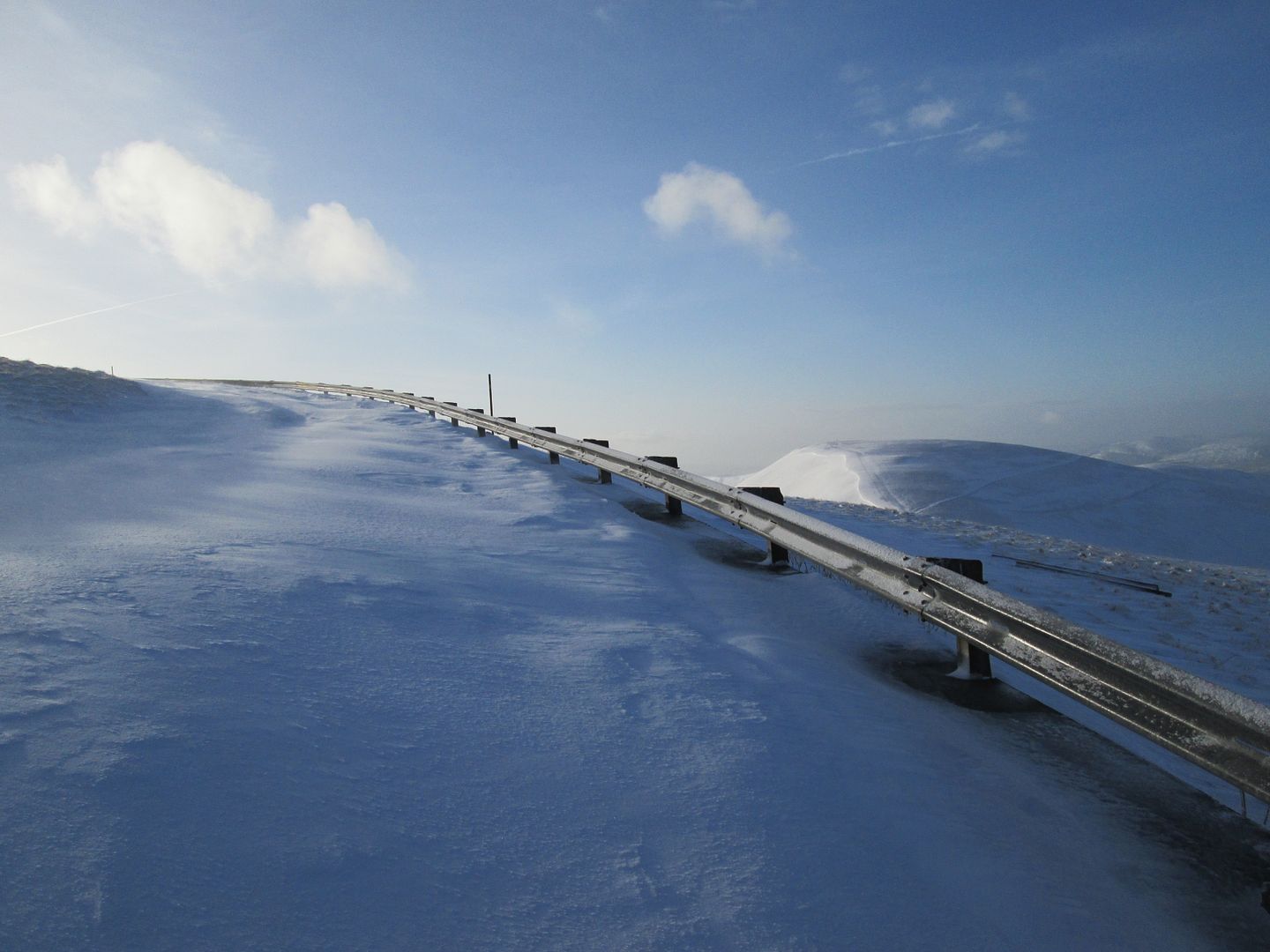 Is this the A9?
At the bend in the road about 600 metres or so west of the summit of Lowther Hill, I struck off onto the path that dips sharply and then climbs up onto East Mount Lowther. Strange name for a hill at the south west end of the Lowthers!
 East Mount Lowther - leaving the road
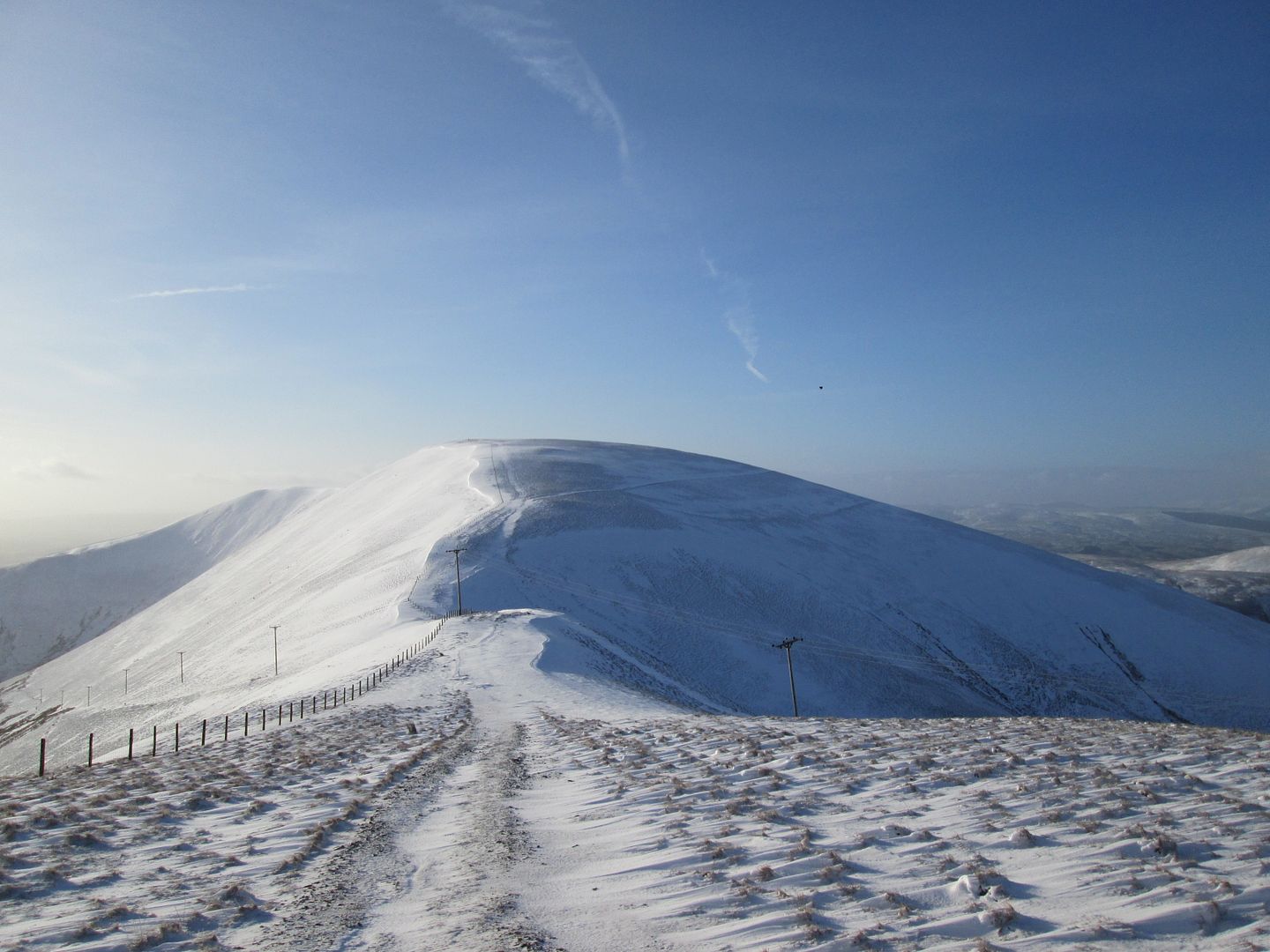 Getting there!
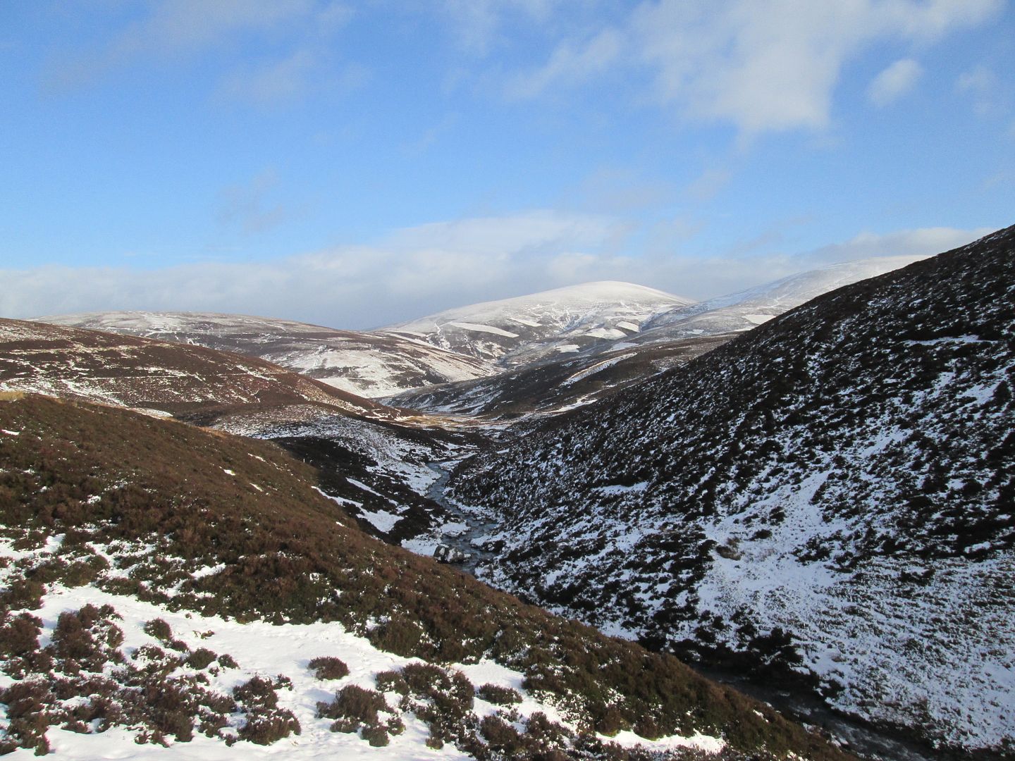
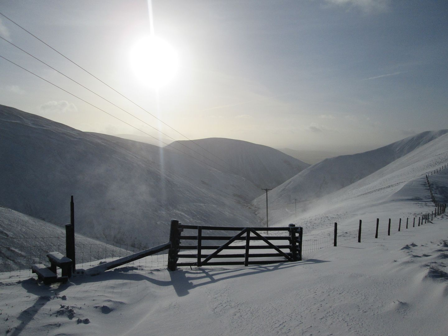 South down the valley of the Enterkin Burn
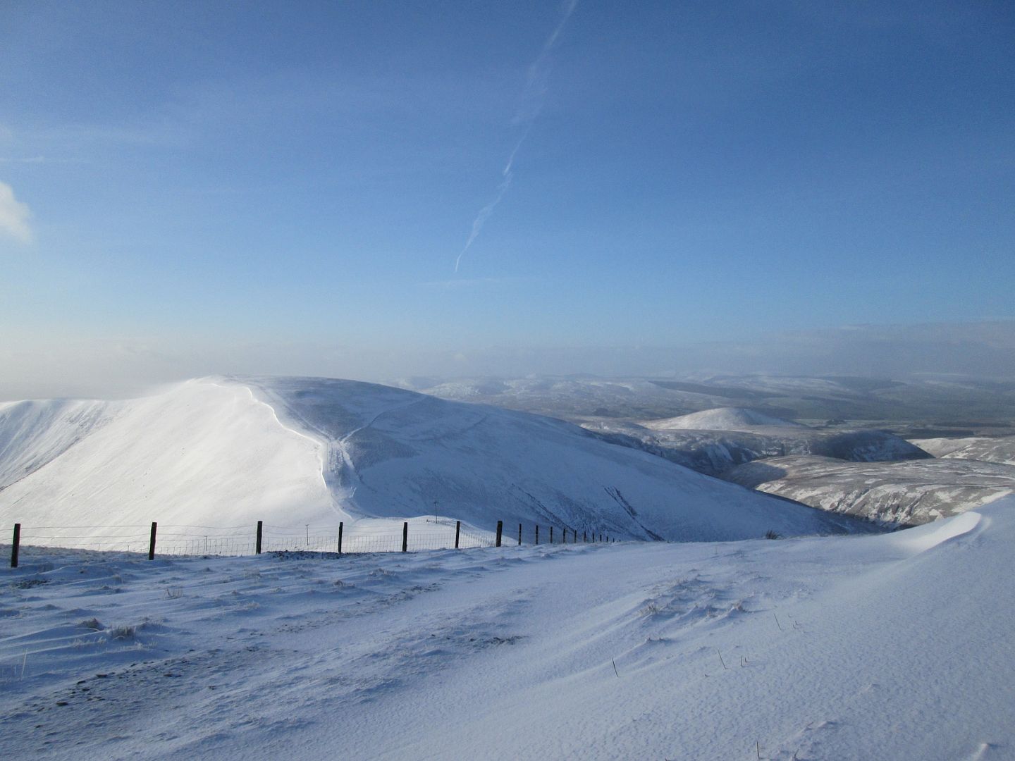
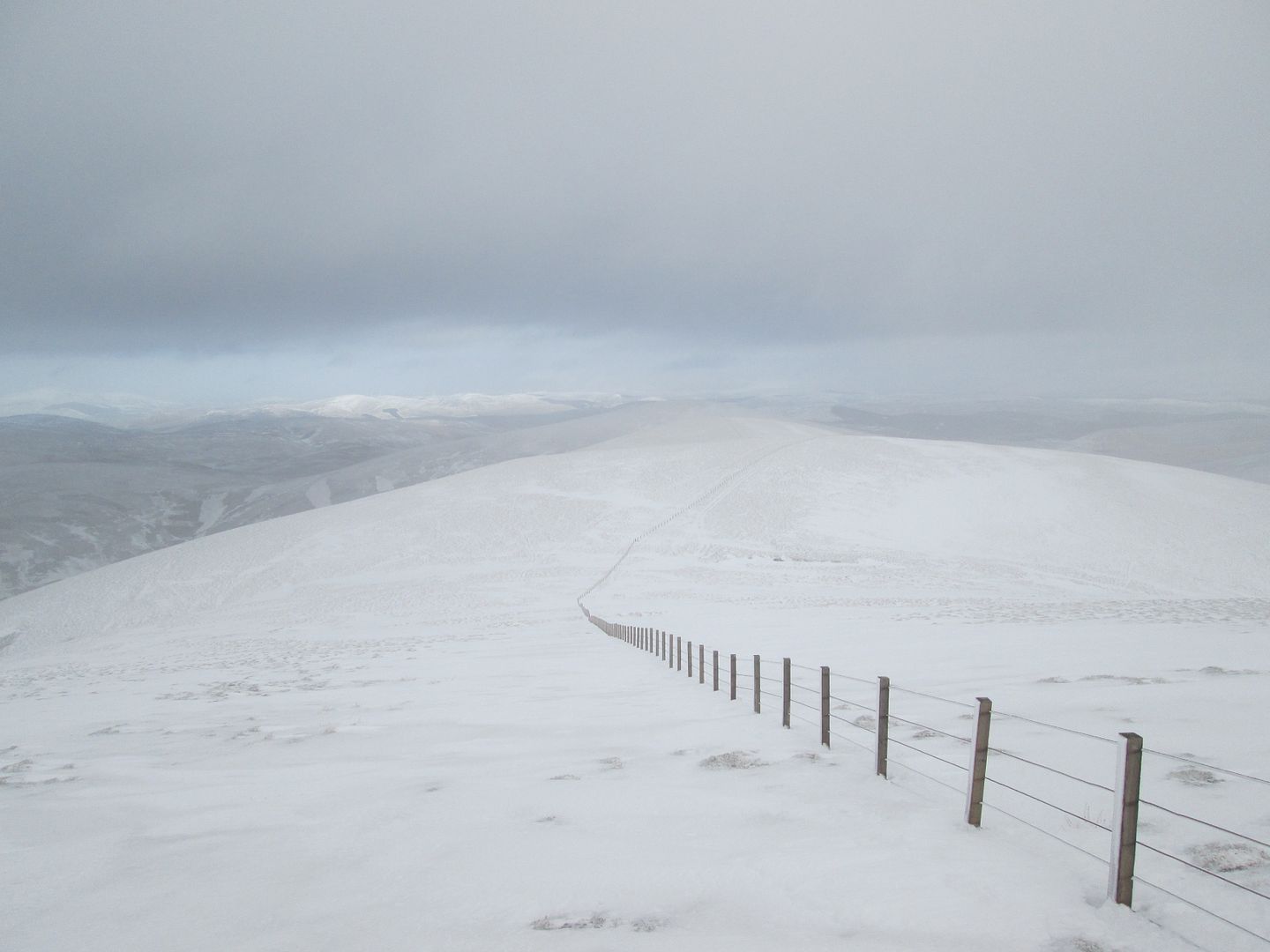
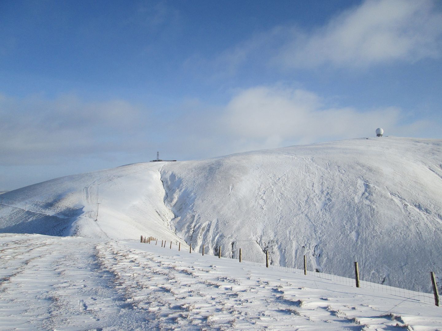 Lowther Hill
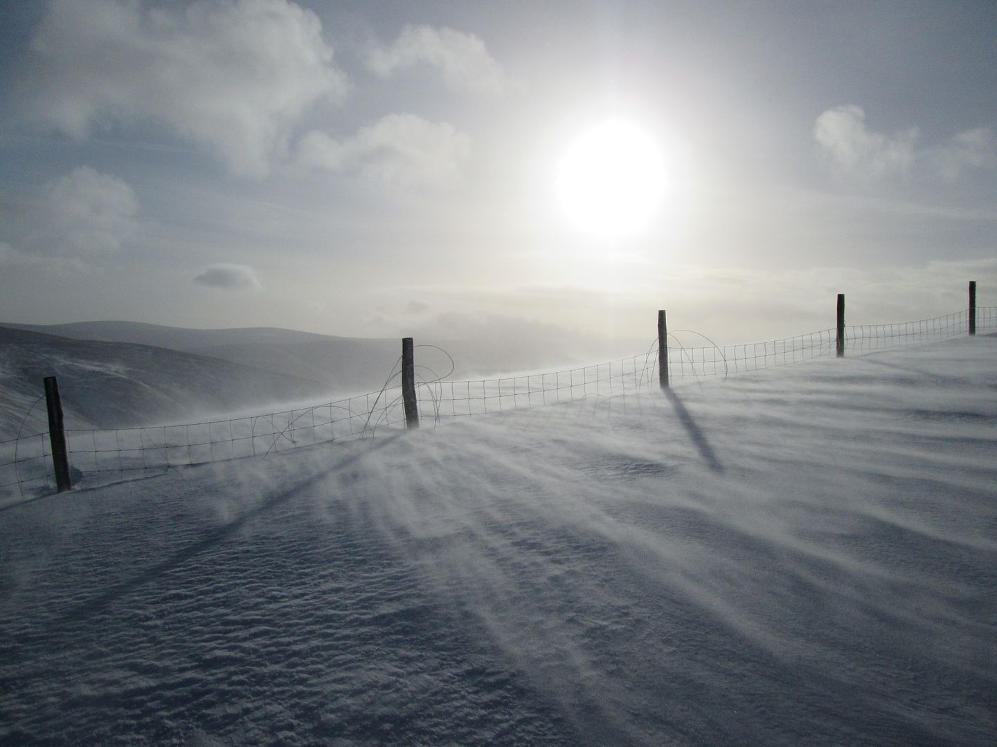 Serious spindrift
This would be by far the nicest summit of the day, with a real sense of isolation and none of the hardware that dominates much of the rest of the route.
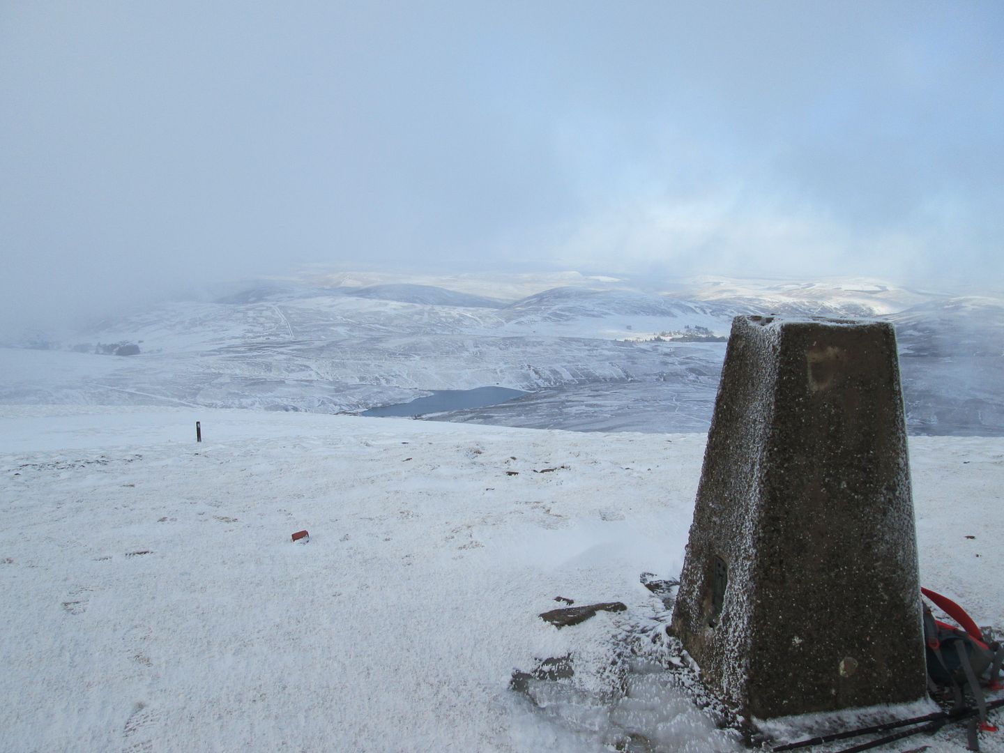
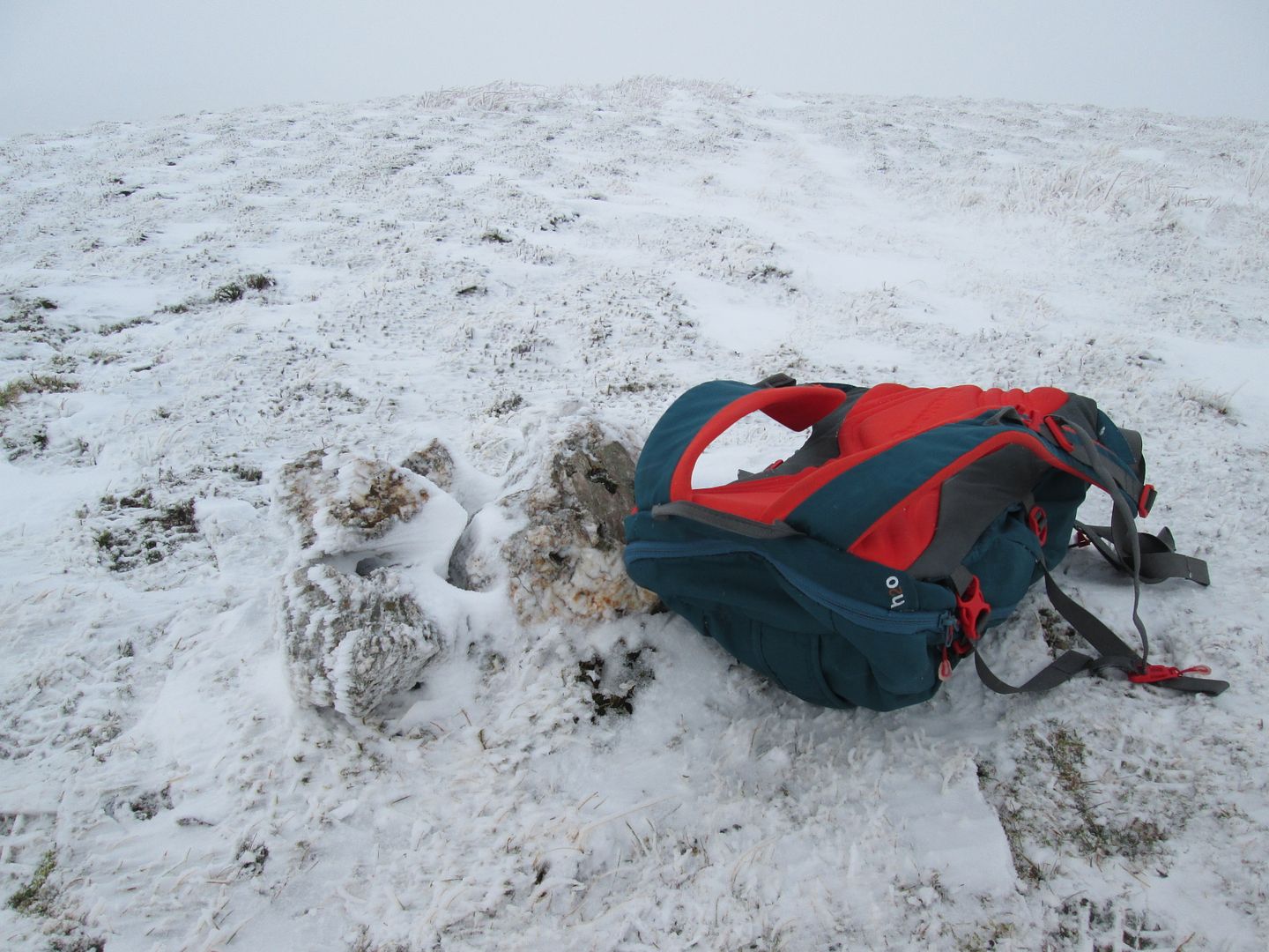
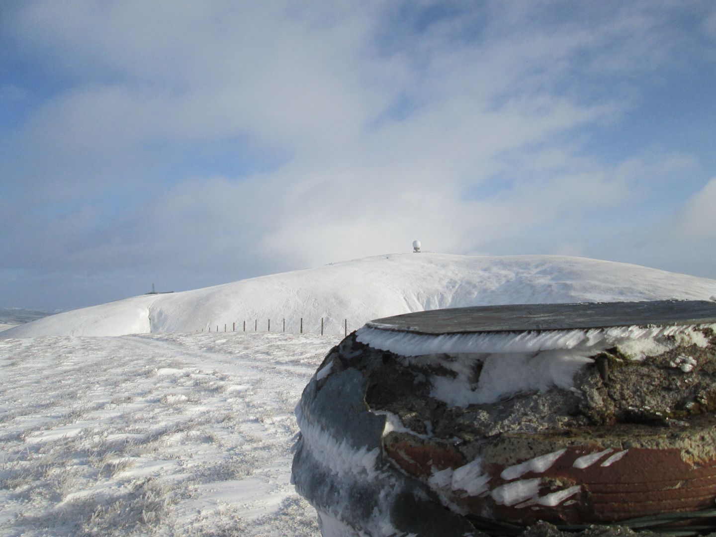 Rime on the viewpoint. The indicator says that on a clear day you can see Ben Cruachan to the north and Scafell to the south.
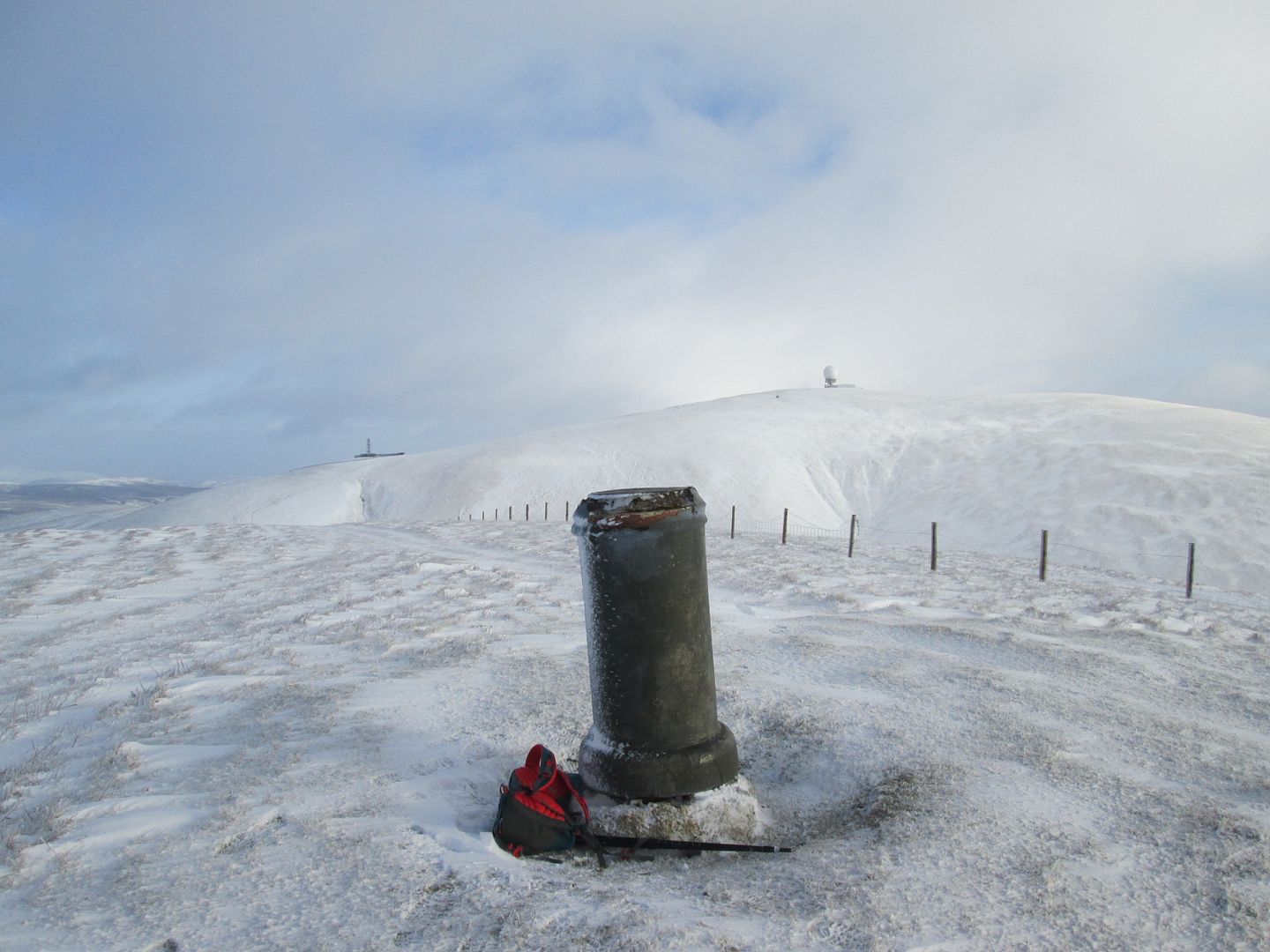 Lowther Hill from EML
After retracing my steps to the road, it was a short pull up to the Golf Ball on the summit of Lowther Hill, then along the straight stretch of road (where I had my only other human/canine encounter of the walk) past the clutter on Green Trough to the high point of the day, the Graham/Donald of Green Lowther.
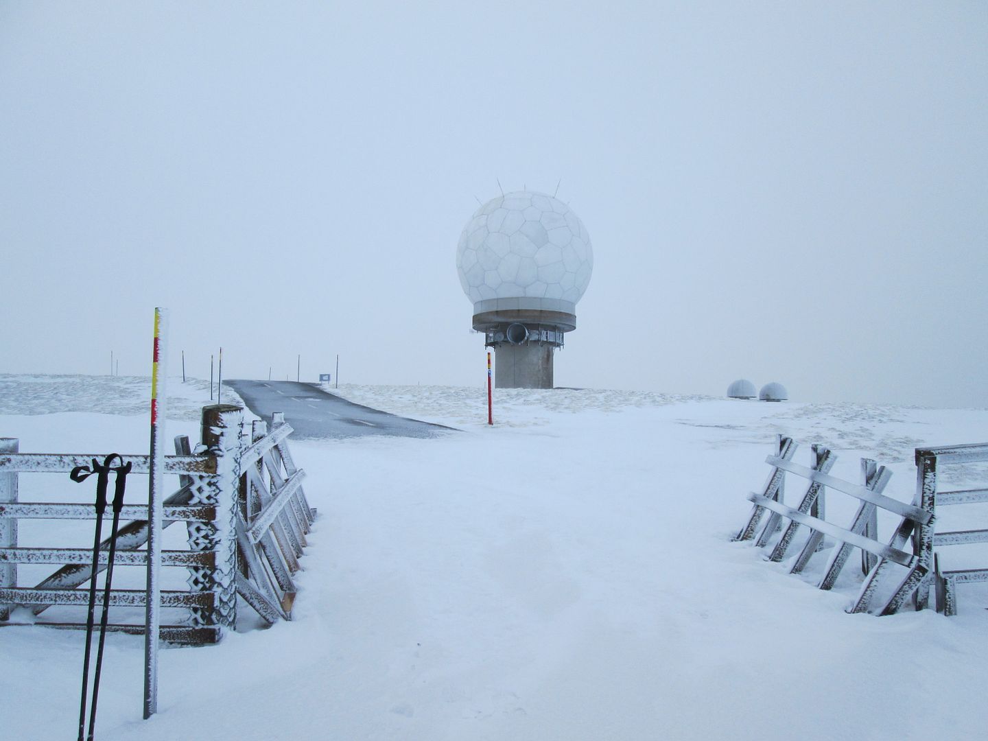 Anyone for 18 holes?
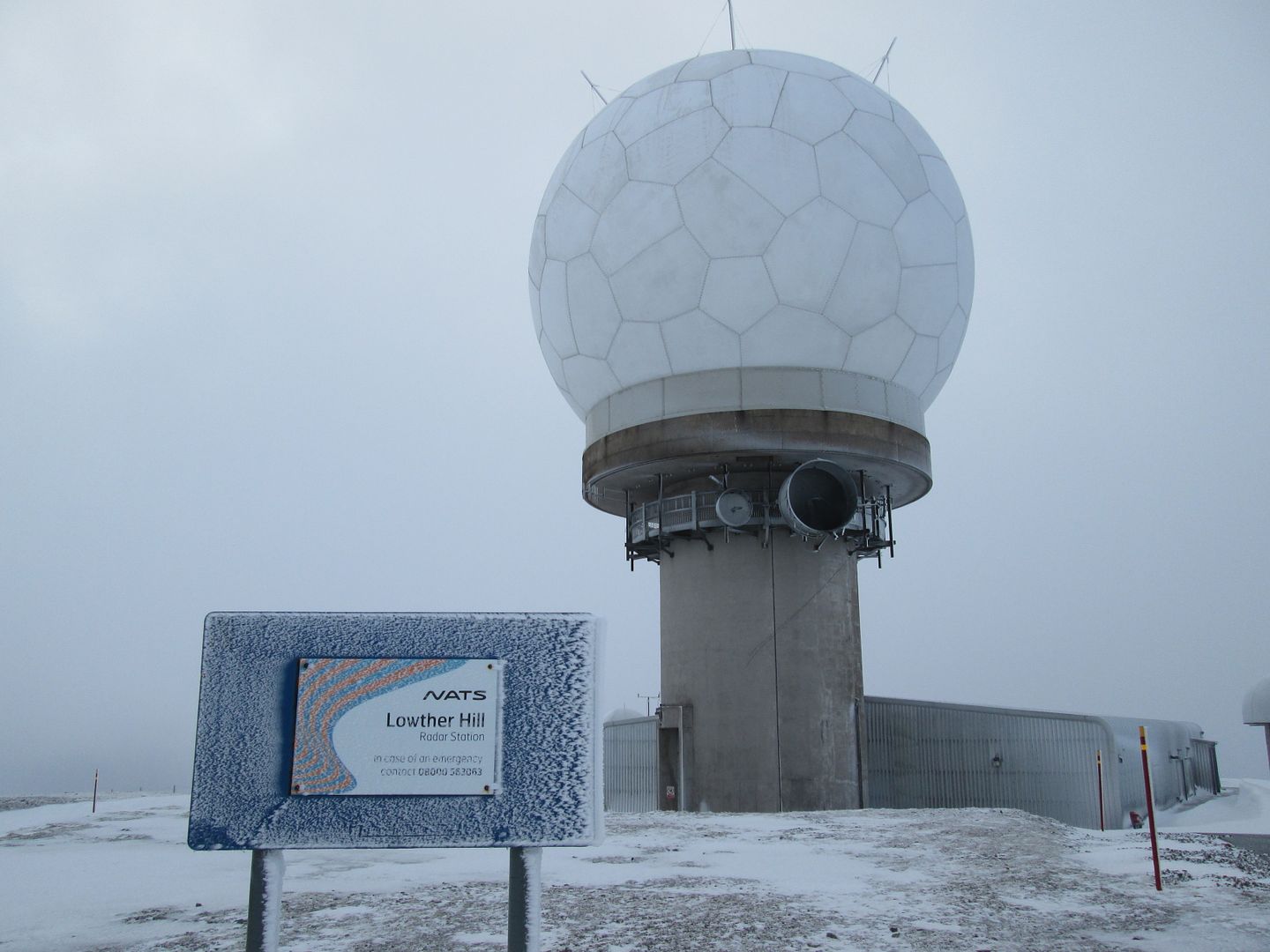 I hope that sign says "NATS" and not "NAT5"!
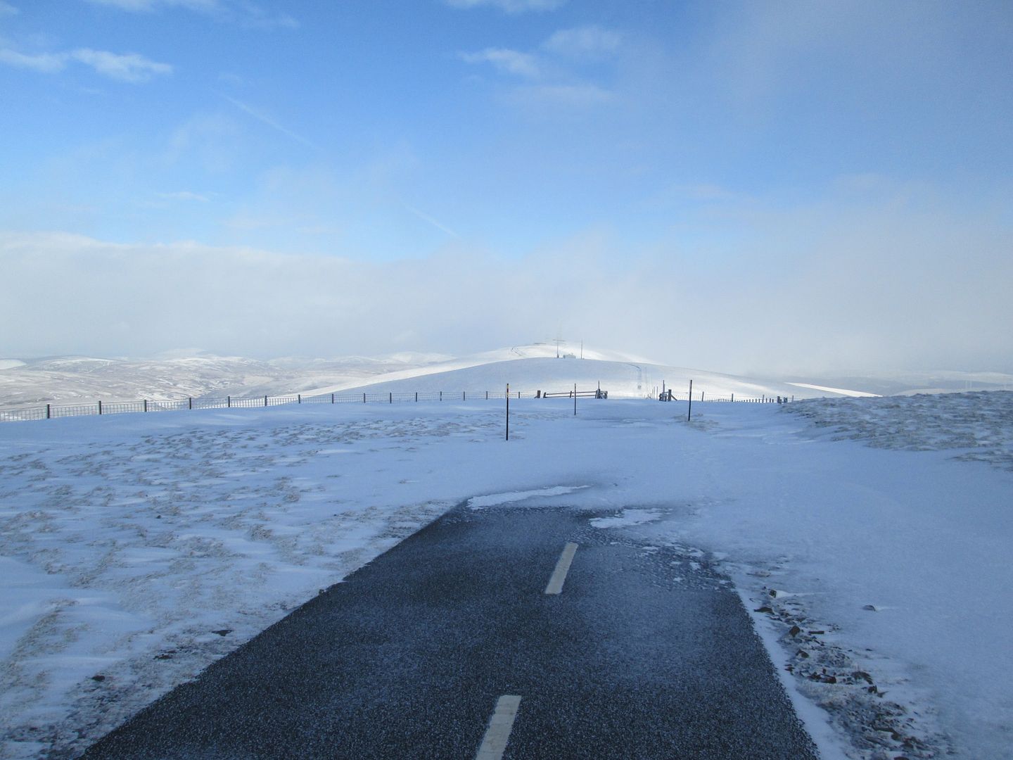 Leaving Lowther Hill
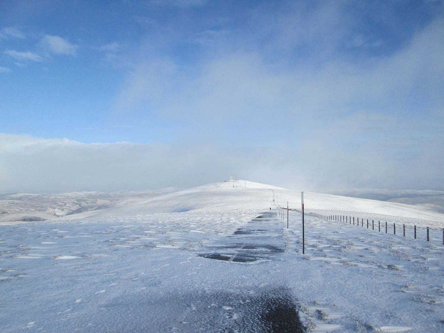 Green Lowther behind Green Trough
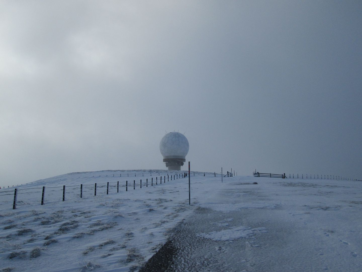 Looking black behind the radar station. We might only manage the 9 holes!
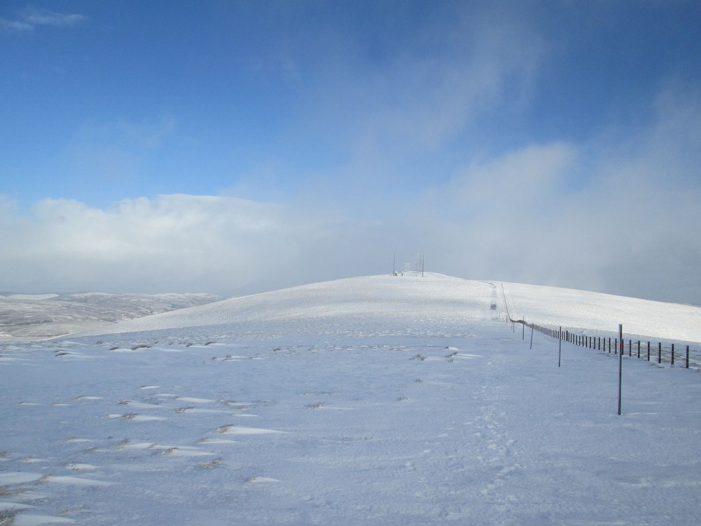 The long and (not very) winding road
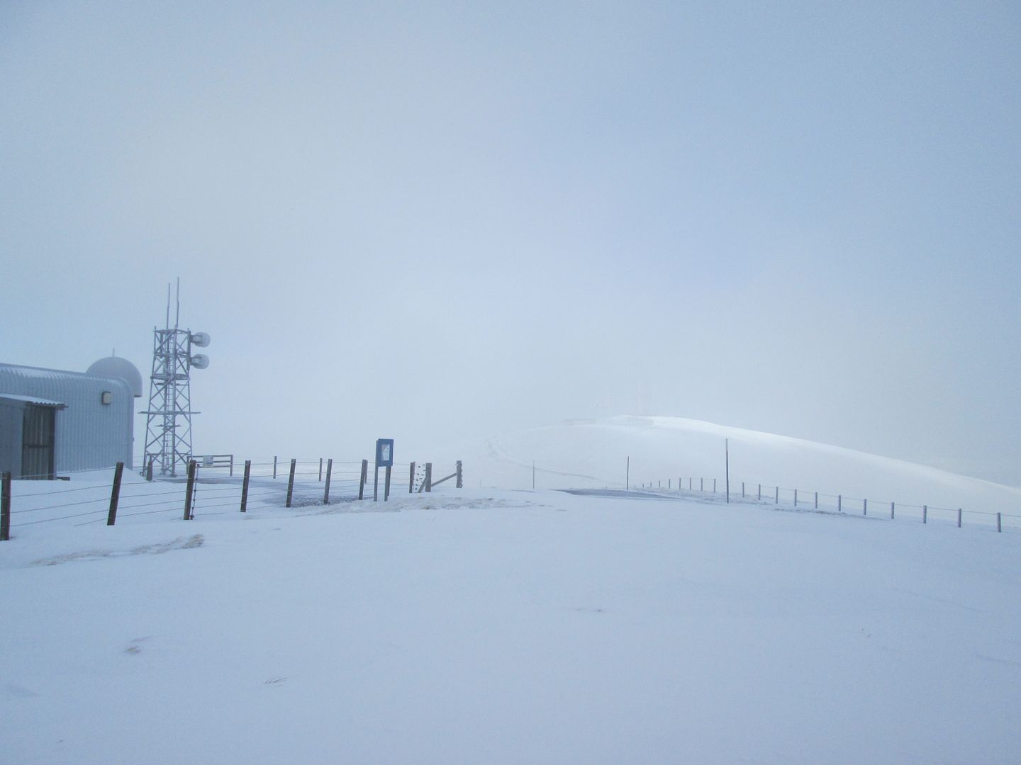 Green Trough
The Andrew Dempster book about the Grahams states that the hardware on these hills, when walked in the depths of midwinter, gives the impression of some remote Antarctic research station. It certainly had that feel to it today, albeit without any penguins that I could see.
 The dam (un-named on the OS) from the Green Lowther trig
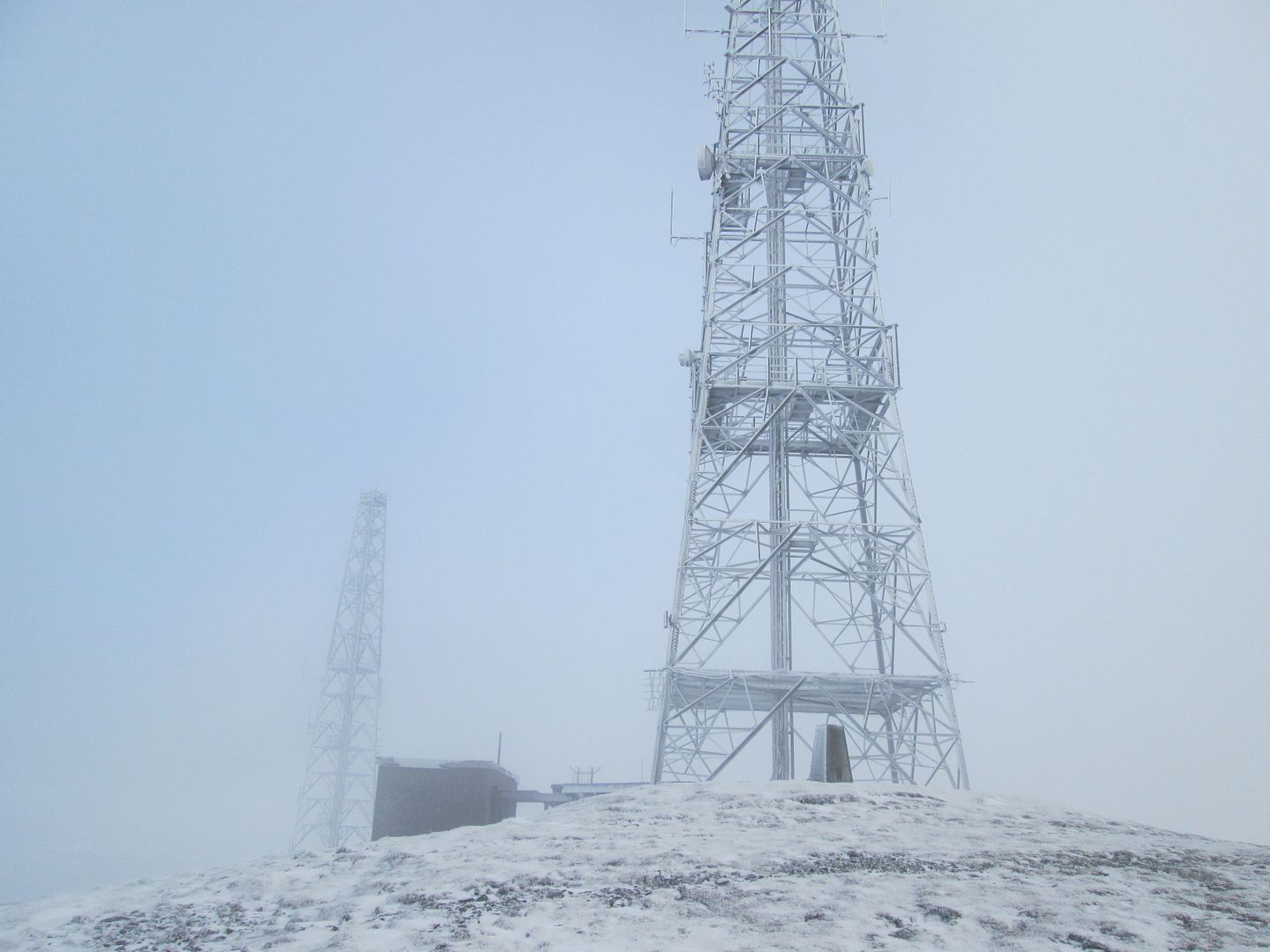 Spot the trig!
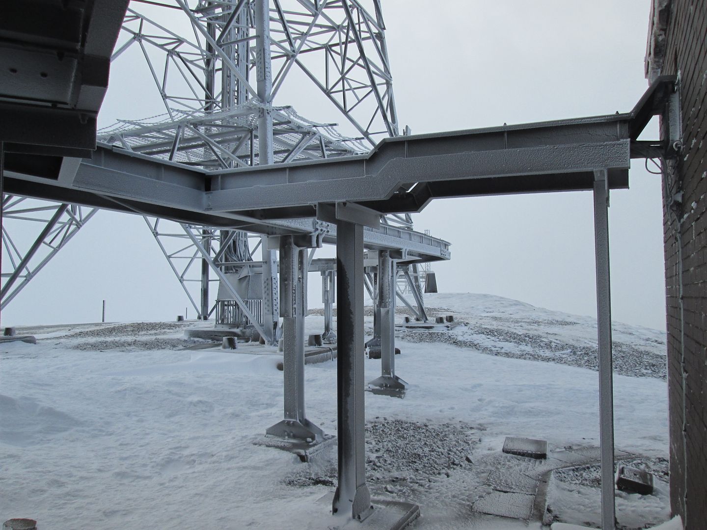 Ice Station Zebra
 The Dun Law badlands from Green Lowther
After lunch amongst the clutter of buildings, I pondered my progress and my next move. It was still quite early, so I carried on to Dun Law. After all the unusual paraphernalia of the walk so far, this was quite dull in comparison.
 Descending off Green Lowther
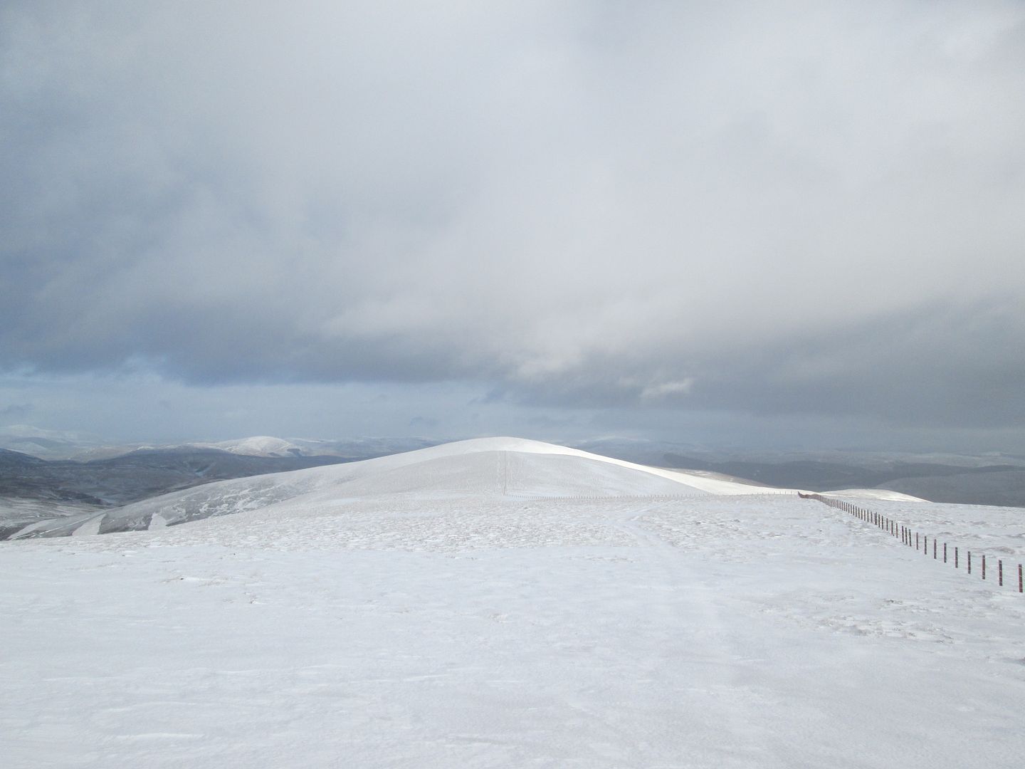 The sun catching Dun Law
The summit of Dun Law is quite forgettable, although it certainly does feel quite isolated. Louise Wood Law still looked a long way away, and with a hefty descent and re-ascent en route, so I bailed at this point.
 The extensive summit cairn on Dun Law. It's the one on the left!
I had no intention of retracing my step back over Green Lowther and the ascent this would involve, so after returning to the bealach between Dun Law and Dungrain Law, I followed a series of streams north west down to the ruins at Lowthers and then contoured around the north side of Glen Franka Rig before picking up the service road back down into Wanlockhead.
 Dun Law from the north of Glen Franka Rig
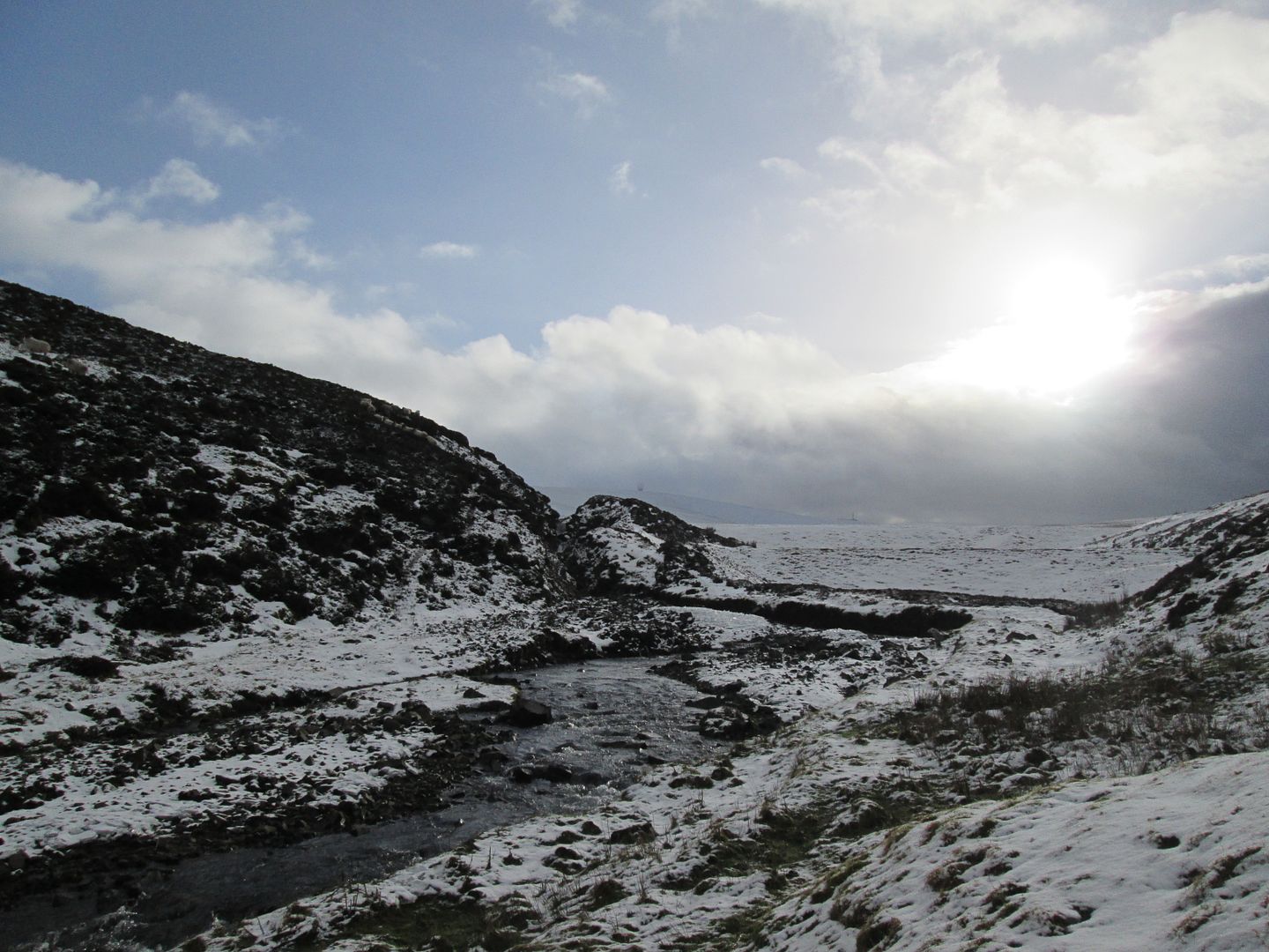 Just below the dams
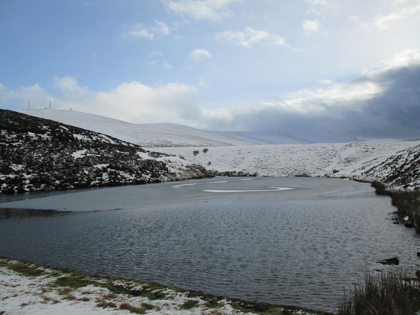 The smaller, lower dam
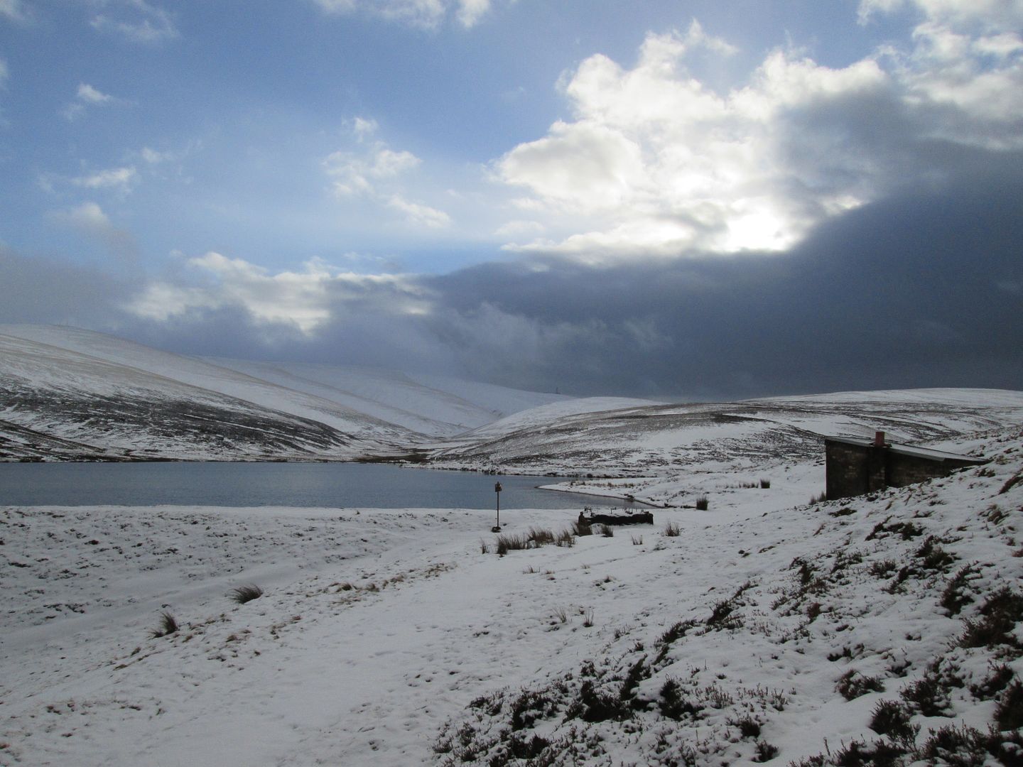 Darkening skies
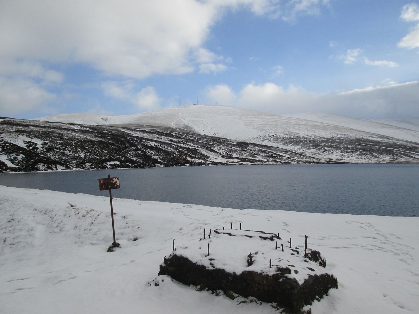 Green Lowther from the larger, upper dam
Then it was off to the access point for the bothy at Middlegill just off the A74, just in time to catch Messrs Francis and Maxwell for the walk in. And the rest......... is bothy history.

"One Alan Bellis, there's only one Alan Bellis, one Alan Bellis.........."

