free to be able to rate and comment on reports (as well as access 1:25000 mapping).
With a fine day forecast we set of for our first walk of the year, and first in over two months, with optimism high for a good day out. Our target for the day would be Ullscarf, considered to be at the center of the Lake District. Having omitted this fell from walks including it's closest neighbours and not fancying adding four miles to a future expedition to High Raise I decided this would be an one fell walk.
It was a beautiful morning as we passed over the Pennines, promising much for the day ahead, but it was obvious there was far more cloud over the Lakes than the forecast had suggested. No matter as the upper snow clad slopes of Helvellyn were visible surely our more modest target would still provide us views for the day?
Things started to unravel once we arrived at Dobgill Bridge car park. My internet research had suggested that parking was free but alas it was not and also quite expensive. To make matters worse the ticket machine was "coin only" so despite having plenty cash we could not actually pay. Not wishing to receive a £60 fine we had to find a spot where the road widened a bit and squeezed in.
We walked back towards the car park before spotting a public bridleway sign that enticed us up the fell side to the North of the Binka Stone. I have no idea when a horse last made it's way up here but I suspect it was back in the 18th century when Thirlmere dam was built and all the settlements were flooded. We followed what may have been the bridleway or may have been a relatively dry stream bed, it was had to tell, up to Harrop Tarn.
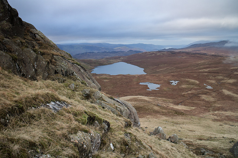
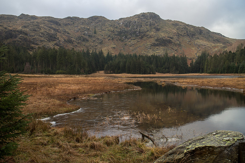 Harrop Tarn
 by
johnkaysleftleg, on Flickr
From here the open fellside was soon reached and we made our way to the beacon marked on the map. The Beacon is more a section of wall but there are nice views down to Thirlmere and beyond. From here unfortunately we could see the clag encroaching onto the fell and soon we were engulfed.
With visibility seriously reduced gauging progress became difficult as we made out way over or around an endless succession of low crags and small tarns. All I could really do was keep us going in the right direction and keep plodding onwards over the largely frozen ground.
Once on the plateau the clag did lift a little, or we left it behind, but views were still just about none existent due to cloud all around us. The wind was also, as you'd expect, noticeably stronger up here inducing a fair wind chill effect meaning that once the summit was reached we headed off immediately, looking for a more sheltered spot to eat. AW referred to the summit of Ullscarf as a cheerless place, hard to argue too much with that sentiment.
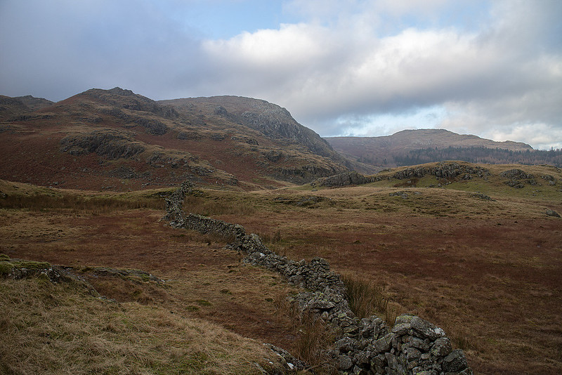 Looking back to Tarn Crags
 by
johnkaysleftleg, on Flickr
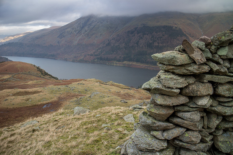 Thirlmere
 by
johnkaysleftleg, on Flickr
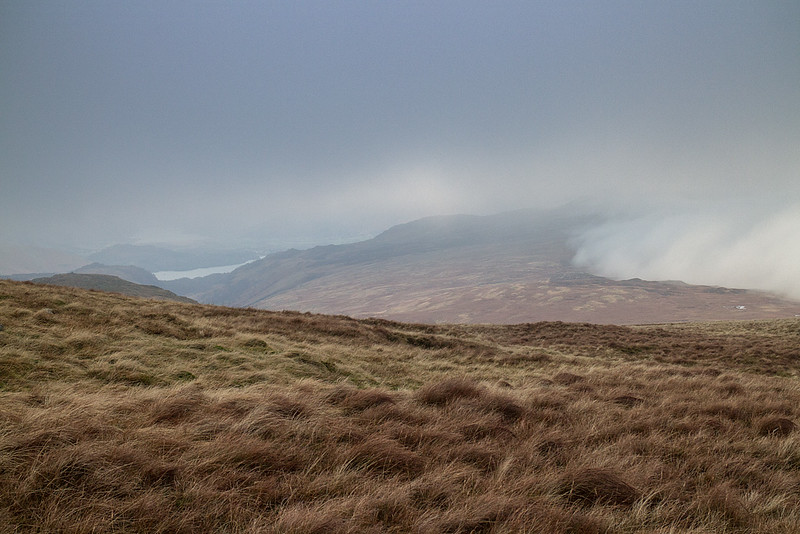
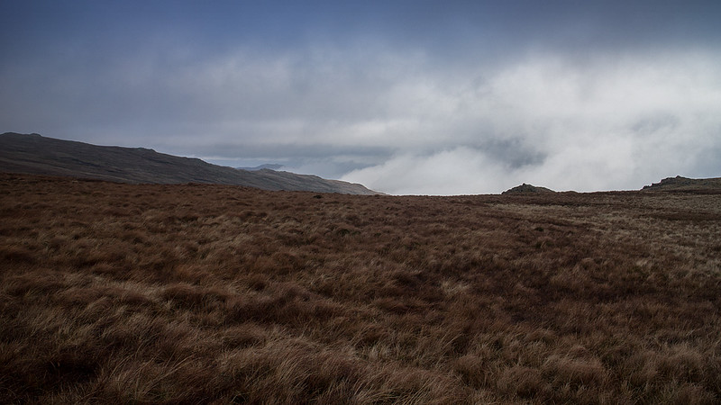 Clearing a little on the plateau
 by
johnkaysleftleg, on Flickr
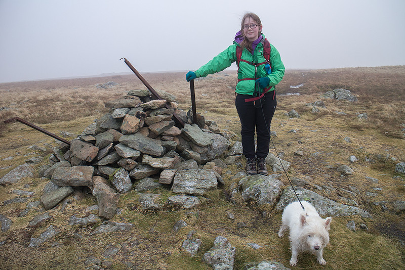 On the Summit
 by
johnkaysleftleg, on Flickr
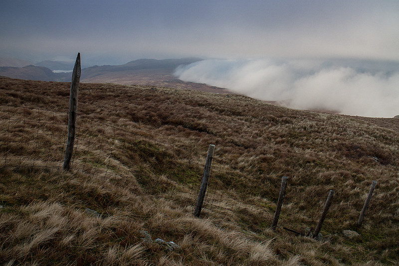
 Holding back the cloud
 by
johnkaysleftleg, on Flickr
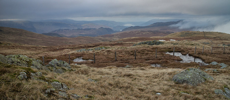
 Along the Central fells rid5ge
 by
johnkaysleftleg, on Flickr
Once we started descending we were rewarded by the sight of the central fells ridge holding back (or holding onto) the clag. It was nice to be rewarded for our efforts on what had turned into a rather grim and cold day.
We had lunch as soon as we found a small crag to shelter behind but soon started to feel really quite cold.
 View to Bassenthwaite
 by
johnkaysleftleg, on Flickr
 Blea Tarn
 by
johnkaysleftleg, on Flickr
We warmed up once we got going again and had an involuntary game of "is that ground frozen? Roulette" on the way down. I lost by the way, twice slipping and landing flat on my back. A mildly disappointing day (but still better than any at work) was completed by returning back down the ruined bridleway (not trusting the forestry paths that can change as easily as the wind). For the record it was a very arduous way down and not recommended.
