free to be able to rate and comment on reports (as well as access 1:25000 mapping).
Wednesday 2nd - Thursday 3rd July 2014In my head I have been planning this report for almost three years and after finally doing the walk at the beginning of July last year, I have struggled to formulate the memories, the hundreds of pictures taken, the historical references and most of all my motives for doing it in the first place, into a coherent trip report.

But I'm there now, so I guess I had better begin at the beginning........

Jimmy Marshall was born on 23rd August 1914 in a house in Springhill Terrace in Muirkirk, East Ayrshire. He was my maternal grandfather - my Papa. He was the man who more than anyone in my early years introduced me to the great outdoors. During summer holidays staying with him and my gran at their house at 75 Wellwood Street in Muirkirk, he and I (and very often my younger brother too) would go off for full days, dawn to dusk, walking and/or fishing on the East Ayrshire moors around the village.
When he died, on 14th June 2012, just two months short of his 98th birthday, I penned and read a eulogy at his funeral service in Perth, on behalf of myself, my brother and his two other grandchildren, my cousins Ruth and David. Some six weeks later, a memorial service was held in the church on Kirk Green in Muirkirk, for the benefit of local Muirkirk folk who had known him but had been unable to travel to Perth for his funeral, and also to in-terr his ashes in the local cemetery beside those of his wife, my gran. Once again I read my eulogy and on that fine, sunny early August day, I vowed that I would return to Muirkirk in the summer of 2014 to mark the 100th anniversary of his birth by doing some of the old walks we used to do together. Unlike certain vows, this was one that was never going to be broken.

He was born, the eldest of 9 children, a mere 19 days after Britain had declared war on Germany and officially taken her place at the table for what would be the slaughter of the Great War. His father, like most men from that part of the country in the early part of the 20th century, was a miner. He went to school until the day before his 14th birthday, had a day off for his birthday, and then followed his father down the pit the following day, where he would spend the rest of his working life. The eldest child in a large and growing family from a community steeped in coal mining traditions, there was no prospect of anything else.
He was married on 29th December 1939 to Hannah Davidson, a housekeeper from the nearby village of Glenbuck, famous in those days for its football team, the Glenbuck Cherrypickers. Today the village of Glenbuck, a few miles east of Muirkirk, no longer exists. It has been erased from the map but in its time, this small mining village on the Ayrshire-Lanarkshire border produced a string of top class footballers, many of whom went on to play at the top level in Scotland and England, and Glenbuck's most famous son, Bill Shankly, two years younger than my gran, went on to become a Liverpool manager and legend.
Born in 1914 and married in 1939, one of his favourite jokes was that his imminent birth sparked the First World War, his impending marriage the Second.

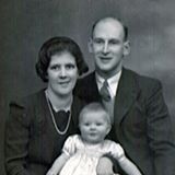 My gran and papa with my mum's older sister, Angela, circa 1943/44
The historical website
http://www.lapraik.com/history.htm has the following to say about Muirkirk:
"Muirkirk is a small village in East Ayrshire, southwest Scotland and was created when the “Kirk of the Muir” was built in 1631. At that time there was not a single house in the vicinity and the Kirk was described as "a puir wee kirk, theeked wi' heather".
"The same site quotes the following lines from "A Survey of Ayrshire" (1811) by William Aiton of Strathaven:
"There were no practicable roads. The farm homes were mere hovels moated with clay, having an open fireplace in the middle, the midden at the door. The cattle starving, and the people wretched. Muirkirk, Dalmellington, Dreghorn, Dunlop and Barr are despicable places. In [the houses] of Muirkirk and Glenbuck a midden or stenching gutter, and frequently both, are found almost before every door. In some of them the whole ashes, and every species of filth, collected by the inmates since the house was erected, remain heaped up before it, so large and so near that scarcely a road is left to the door.
"But Muirkirk would have her heyday and play a central role in the Industrial Revolution in Scotland, as the site explains:
"In the second half of the 18th Century it is possible to identify some early initiatives that ultimately resulted in a move away from what was substantially a subsistence economy based purely on agriculture and resulted in Muirkirk thriving and at the forefront of the Industrial Revolution. The Muirkirk Iron company was formed in 1787 and this, along with coal mining nearby (a coal mine was begun in 1799 which subsequently became known as the Kames Colliery), provided a boost to the local economy and led in turn to the development of a significant iron manufacturing capability in the 19th Century. An indication of how dramatic the changes were over the following century - as the full impact of Muirkirk's economy moving from being predominantly agricultural to one that was based on manufacture was felt - is shown here:
"The place has undergone great fluctuations of prosperity; but, during the last half century, and especially since the formation of the railway, it has been very flourishing, insomuch as to rank among the great seats of the iron manufacture in Scotland. The works of the Eglinton Iron Company have several blast furnaces and coal-mining and lime-burning are actively carried on."
"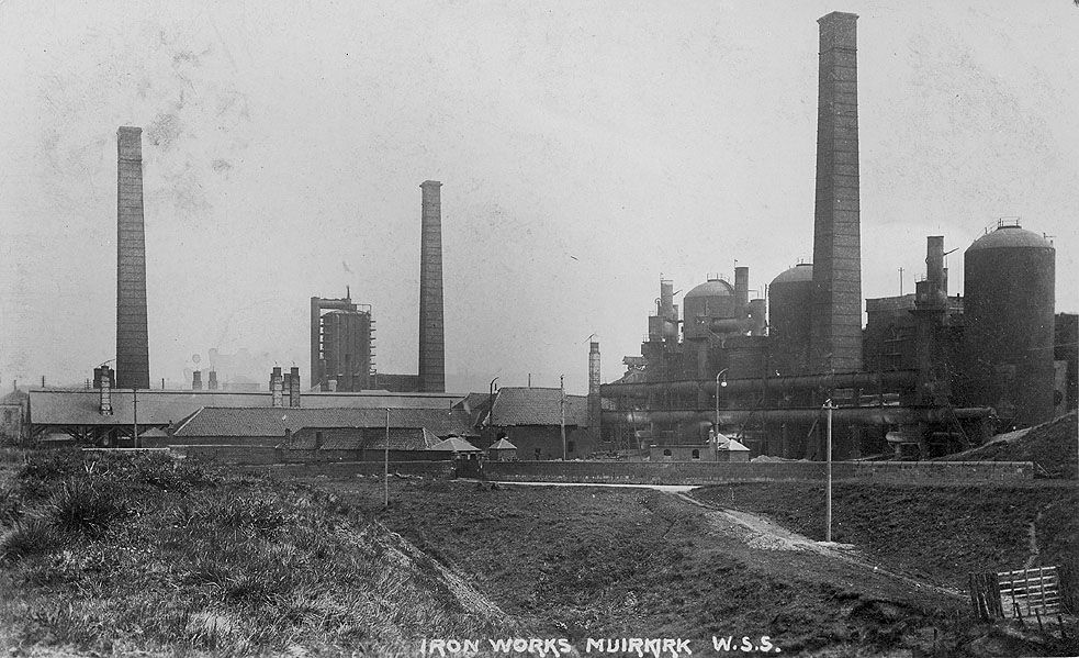 Muirkirk Iron Works
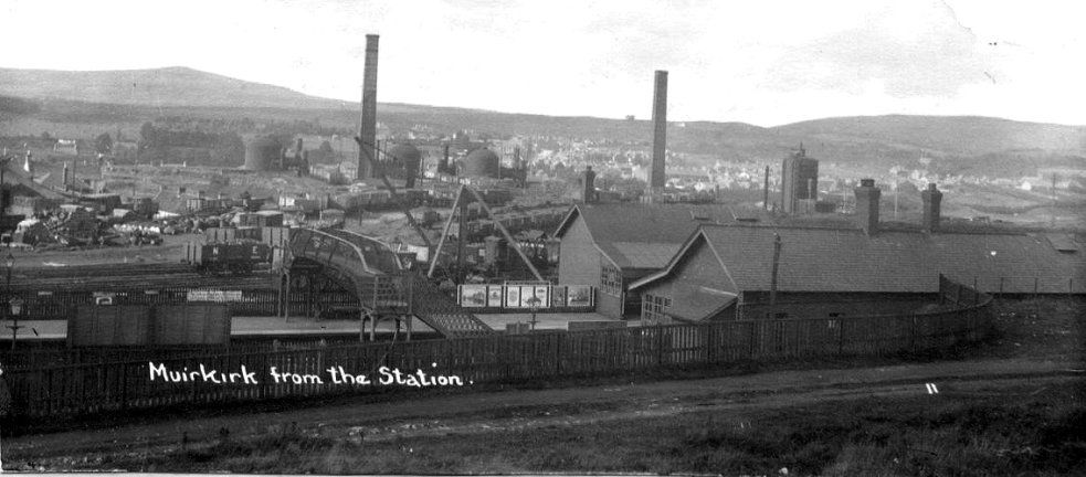 Muirkirk Station which served the Iron Works and the Colliery - Middlefield Law in the background
Life in Muirkirk, even in her heyday, would never have been very easy or glamorous, but it certainly was a thriving community with work for those that wanted it to support their families.
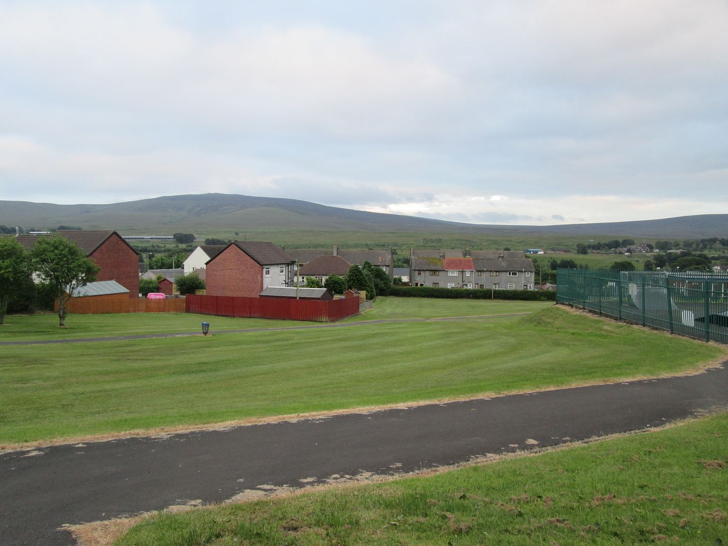
To the casual, neutral observer, Muirkirk today could not be said to be an appealing place. In fact to describe it as aesthetically grim is probably unfair to grim places. It is surely as potent a symbol of post industrial decline as anywhere in Scotland. True, many incomers have settled there in recent years, no doubt benefiting from low house prices and a commutable journey to work in Ayr, Kilmarnock or Glasgow. But it's industrial heart beats no longer. It was slowly and painfully ripped out over many years, and the scars are still visible today.
But Muirkirk has paid other heavy prices for her role in Scotland's industrial past, ones that are not as glaringly obvious to the casual observer simply passing through, but that are nonetheless etched in the memory of the village and her people.
On 19th November 1957, with my mum aged 12 and her older sister Angela aged 14, Muirkirk was shaken by the Kames Disaster when explosions ripped through the underground shafts and tunnels of the Kames Colliery during the backshift. My Papa and his father were both working underground at the time. His father, aged 69, was the oldest of 17 men to lose their lives that evening while he himself was the last man to be brought out alive.
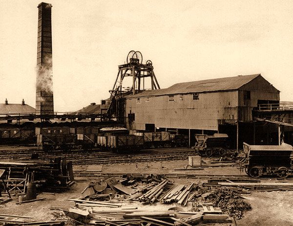 Kames Colliery before the disaster of '57
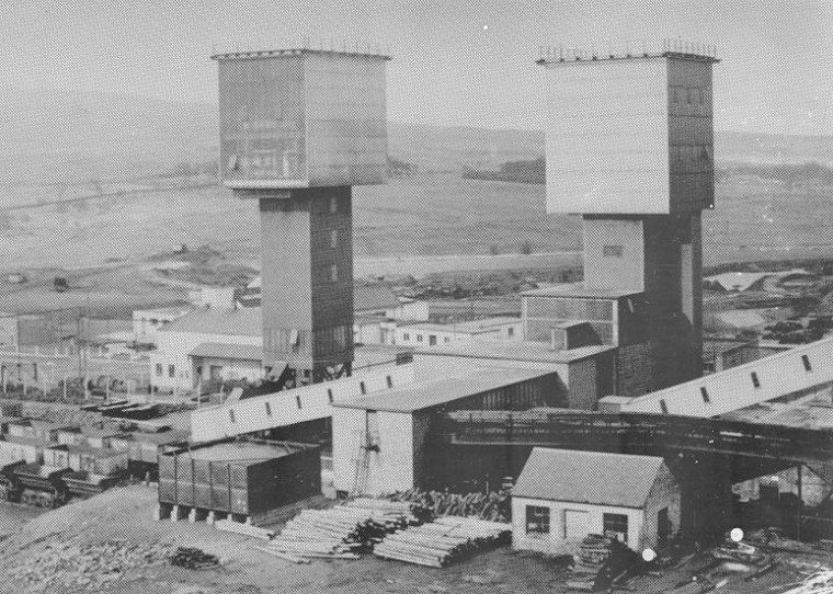 Following reconstruction post disaster
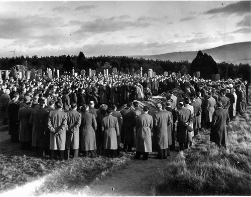 Mourners at a funeral for one of the victims
The last living survivor of the blast and now in a care home in Auchterarder, my Papa was interviewed in 2007 by Reevel Alderson for BBC Reporting Scotland to mark the 50th anniversary of the disaster:
http://news.bbc.co.uk/1/hi/scotland/glasgow_and_west/7100605.stmBadly injured by the explosion and the gas, he spent weeks in hospital before being released. The following day, he was back at the coalface. When asked by people how he could so quickly and readily return to an environment that had claimed the life of his father and so very nearly his, he replied that he had no choice - he had a wife and two daughters to support and this is what he did, what he knew.

He often said that the wild, open spaces of the local moors and hills were his antedote to the claustrophobic, dangerous confines of a deep coal mine, and he spent many of his days off walking and fishing here. Not for him the 150 mile round trip to bag Munros - these were the days before such extravagances would have been thinkable. He contented himself with what was on his doorstep, and he must have walked these hills and moors thousands of times.

I have only sketchy, vague memories of my Papa as a working miner, coming into the old house on Wellwood Street after a hard shift, in his bunnet and hobnailed boots, his battered old piece bag over his shoulder, before tending to the coal fire in the living room. Most of my childhood memories of him are as a retired miner, but still in his bunnet and hobnailed boots, battered piece bag over his shoulder. And always tending to that fire, hand placing on coal from the mountainous pile that occupied an old brick outhouse in the yard, which men with blackened faces regularly arrived on a flatbed truck to top up with more supplies, which were poured in through a hatch and would proceed to trickle down the face of the mountain like great lumps of scree, gathering in the doorway. I remember it often required some degree of effort to force the door closed. I used to love watching these delivery men, and to watch my Papa lovingly tend to his fire.
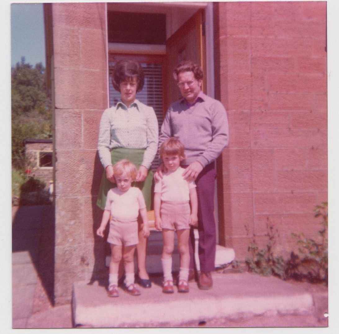 My mum and dad, younger brother and myself at the front door of 75 Wellwood Street, sometime in the mid to late 70s
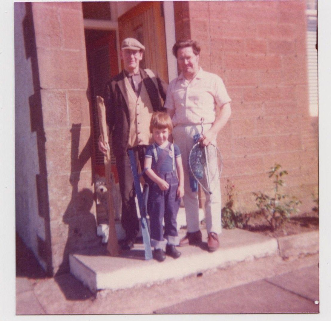 My papa, my dad and myself getting ready for a fishing trip, also around the mid to late 70s
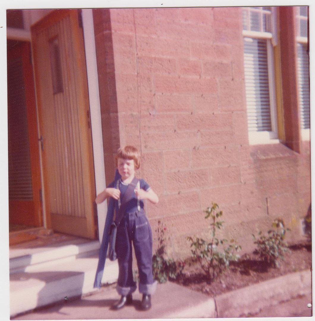 Looking very pleased with myself - let's go fishing!
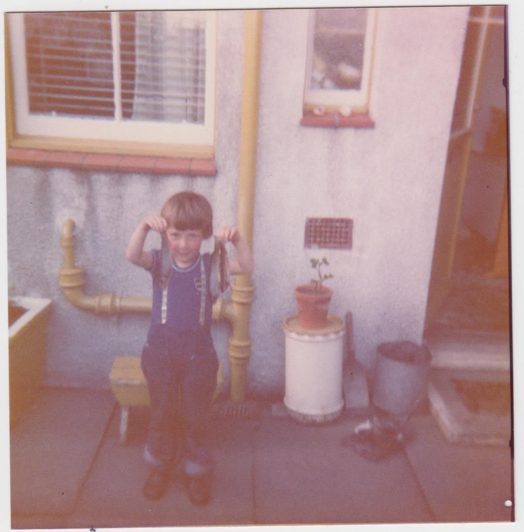 My brother with the days catch
He retired in 1979, when I was not quite yet 9 years old and Thatcher was just preparing to put the boot in to the miners. He did not therefore work through the strike of 83/84 but obviously held passionate views about what was going on. He was himself steeped in mining tradition, although glad that he had daughters rather than sons and that they would never have to go underground themselves, and that his grandchildren were born into an age and an environment where there were plenty of other viable options.
Throughout the 80s I would spend holiday time in Muirkirk and we would barely be off the local hills and moors. The favourite was the walk out the old drove road that runs from Muirkirk over to Sanquhar, to a waterfall known as the Deil's Back Door. I remember not being able to sleep the night before my first walk out there, so excited was I at the prospect of what I would find at this mythical sounding place. That and the fact that I could scarcely get my head round just how far I'd have to walk - and back!

So, on Wednesday 2nd July I headed through to Muirkirk, stopping to drop Ailsa off with my mother-in-law in Bothwell for a few days. From there I headed the short distance south down the M74 to the turn off at Canderside Toll for the A71 to Ayr. The familiar old road led me past the village of Stonehouse then through the as yet unbypassed Strathaven, before I branched off for the road past the former Dungavel Prison, now an Immigration Centre, and across the moors into East Ayrshire.
The cemetery is the first thing you come to entering Muirkirk from this side and I parked at the wee parking area next to the Kirk Wood and popped into the cemetery to visit the graveside and say hello to my gran and papa.

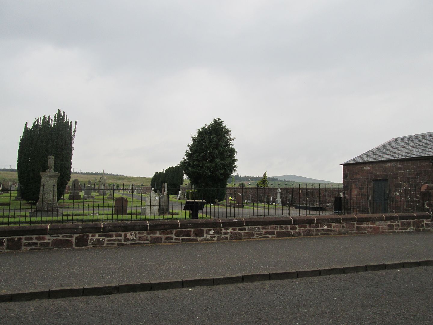 Muirkirk cemetery with Middlefield Law in the background
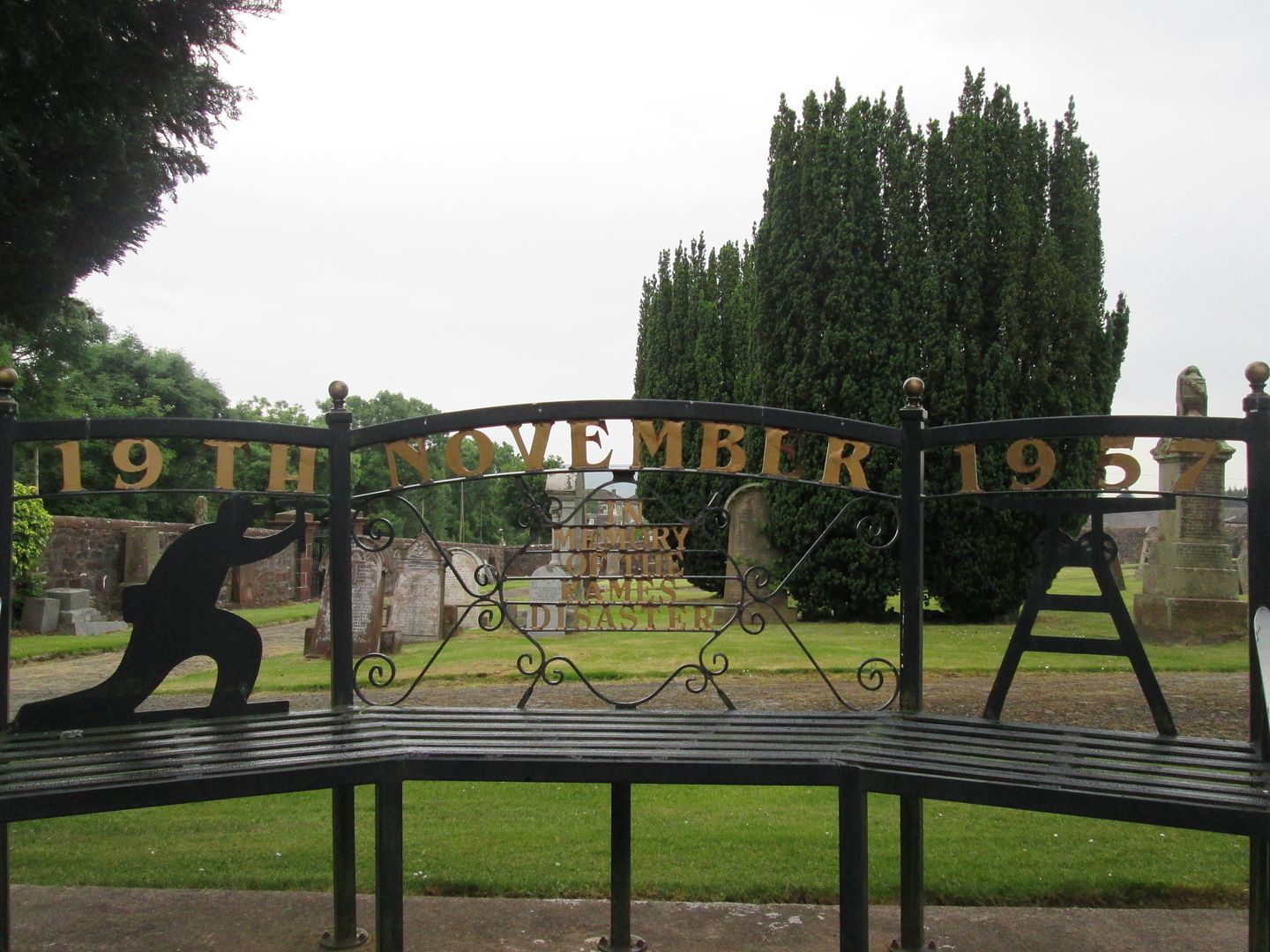 Kames disaster memorial bench
I was still unsure about how to go about tackling the various routes I wanted to do, and in which order. I knew that a walk out to the Deil's Back Door was a must at some point, as was a visit to the summit of Cairn Table. I have climbed this hill so many times before but then that was what made it a place I had to visit again now. Otherwise, what really was the point of coming here? I also wanted to walk out as far as Kirkland Hill above Kirkconnell to explore the area beyond the Deil's Back Door that I had never visited before, and also to (in all probability) become one of the few people to have climbed it from Muirkirk, which under any normal circumstances would be something you'd need your head looked at for even thinking about! Then there were Middlefield Law (on whose slopes I had certainly walked before but I do not recall ever being at the summit) and Nutberry Hill to the north of the village, on the road I had just come in on. A veritable Sub2K bagging extravaganza!
I decided to head straight out for the Deil's Back Door and spend the night camped by the falls. That would allow me to get out to Kirkland Hill the following morning and then back to Muirkirk via Cairn Table for late afternoon or early evening. Depending on the weather and how I felt after that, I could review my plans for the following couple of days.
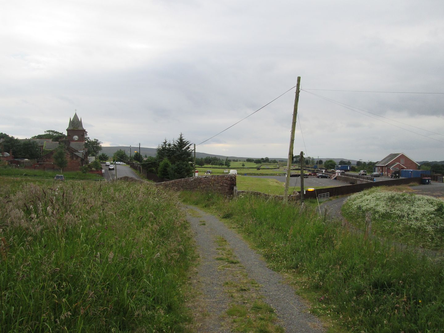
So I drove down the Glasgow Road past the end of Wellwood Street and the house on the corner of Wellwood St and Glasgow Rd that my gran and papa had built and moved into in the late 80s when the stairs in the old house in Wellwood St had become too much for them. My destination was the walkers car park on Furnace Road next to the old Kames Institute building with its big clock tower and rather neglected and derelict feel. This part of the village used to hum to the sound of the coke furnaces and engines on the old pug line in its industrial heyday. Now the furnaces and the station are long gone and the area hums only to the sound of boy racers and their cars at the little racing track opposite the Institute where the station was, and the occasional sound of golf club on golf ball on the 9 hole course where the colliery once stood.
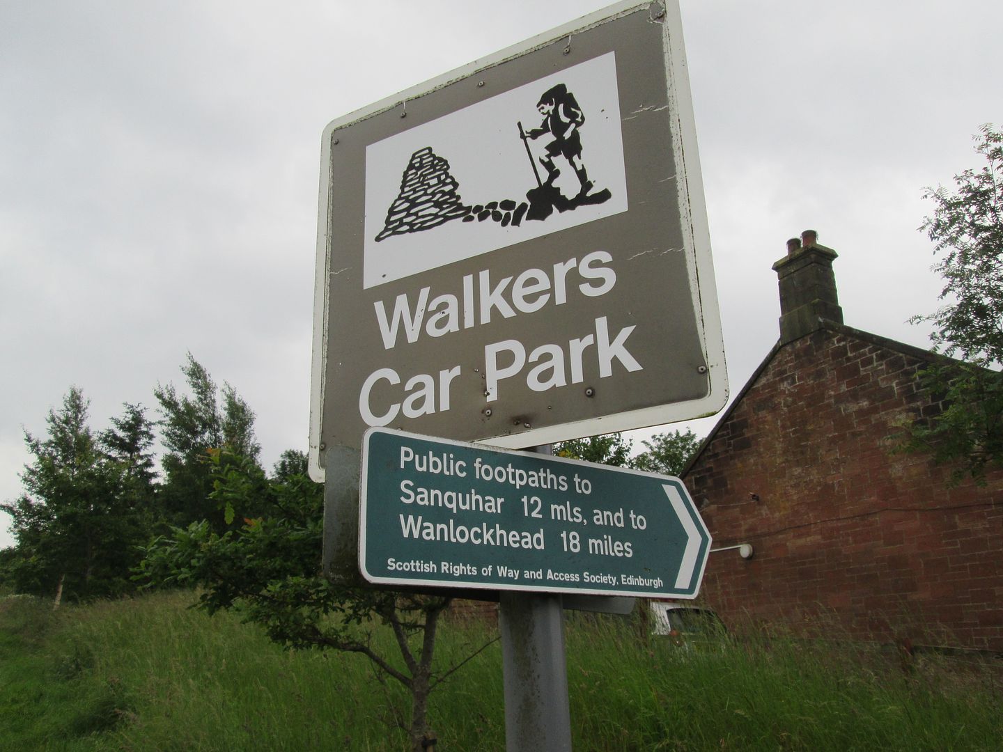 The entrance to the walkers car park on Furnace Road
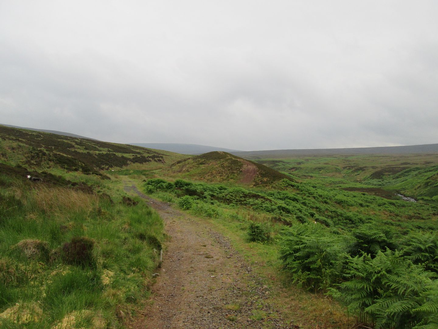
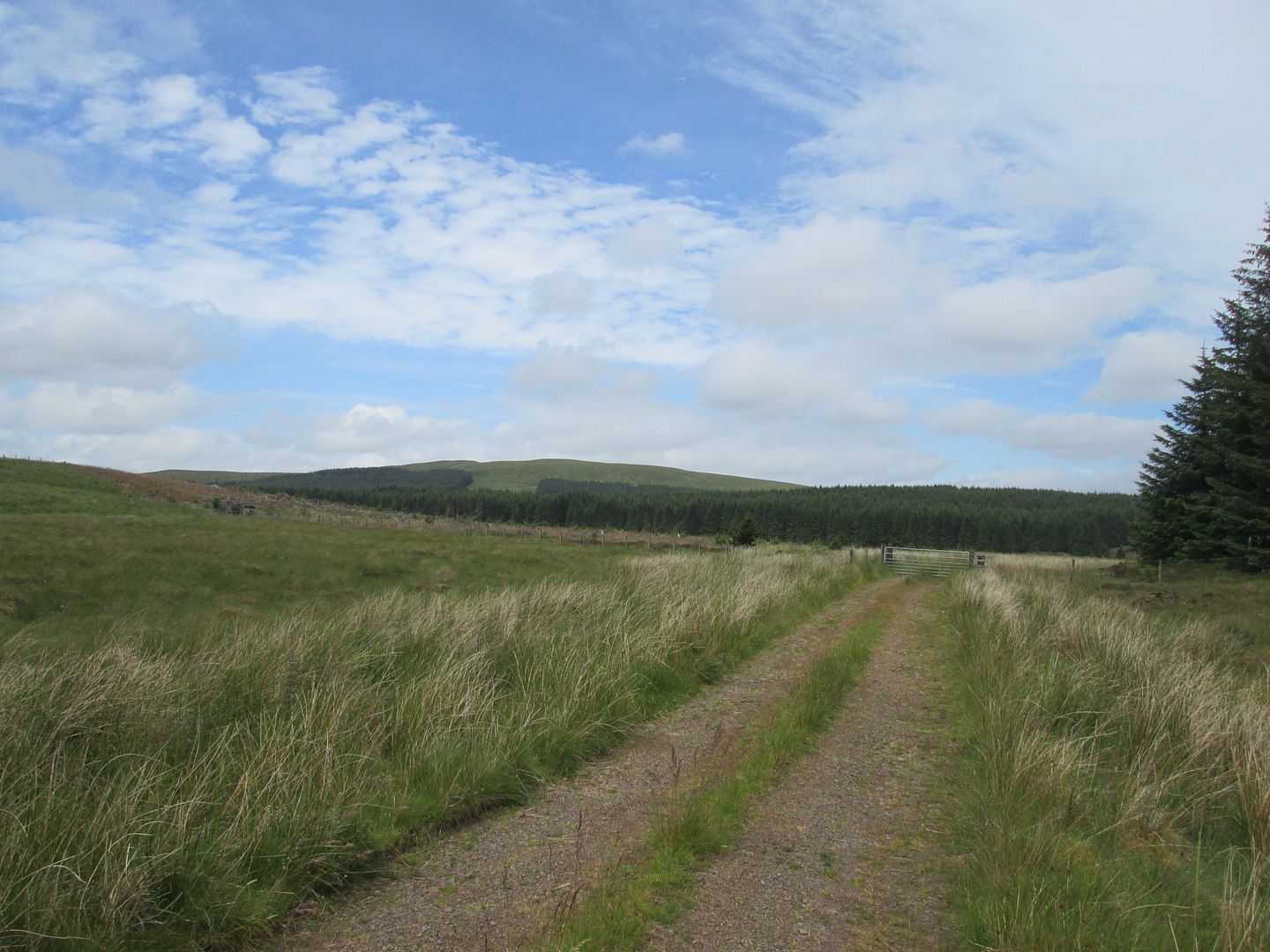
The drovers road and Right of Way to Sanquhar and Wanlockhead follows the tarmac of Furnace Road for a short distance before it ends and becomes a landrover track that snakes across the moors between Cairn Table to the left and Wardlaw Hill to the right. All along this initial stretch of the walk are reminders of Muirkirk's proud industrial past, now long forgotten and remembered only in history books and crumbling memorials.
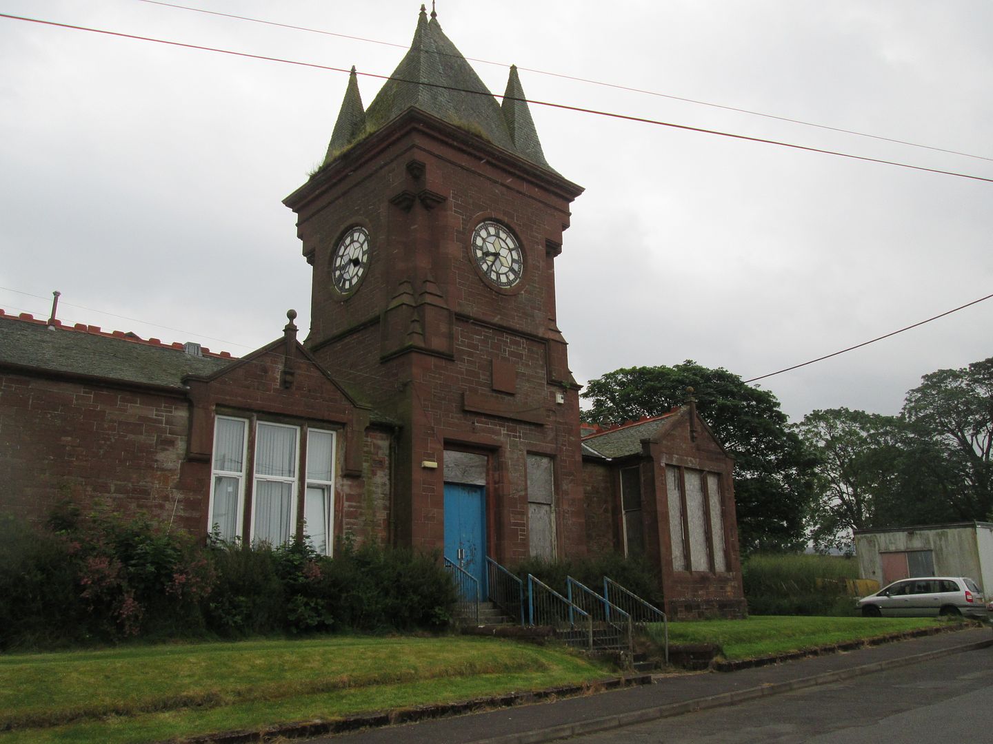 The derelict Kames Institute building
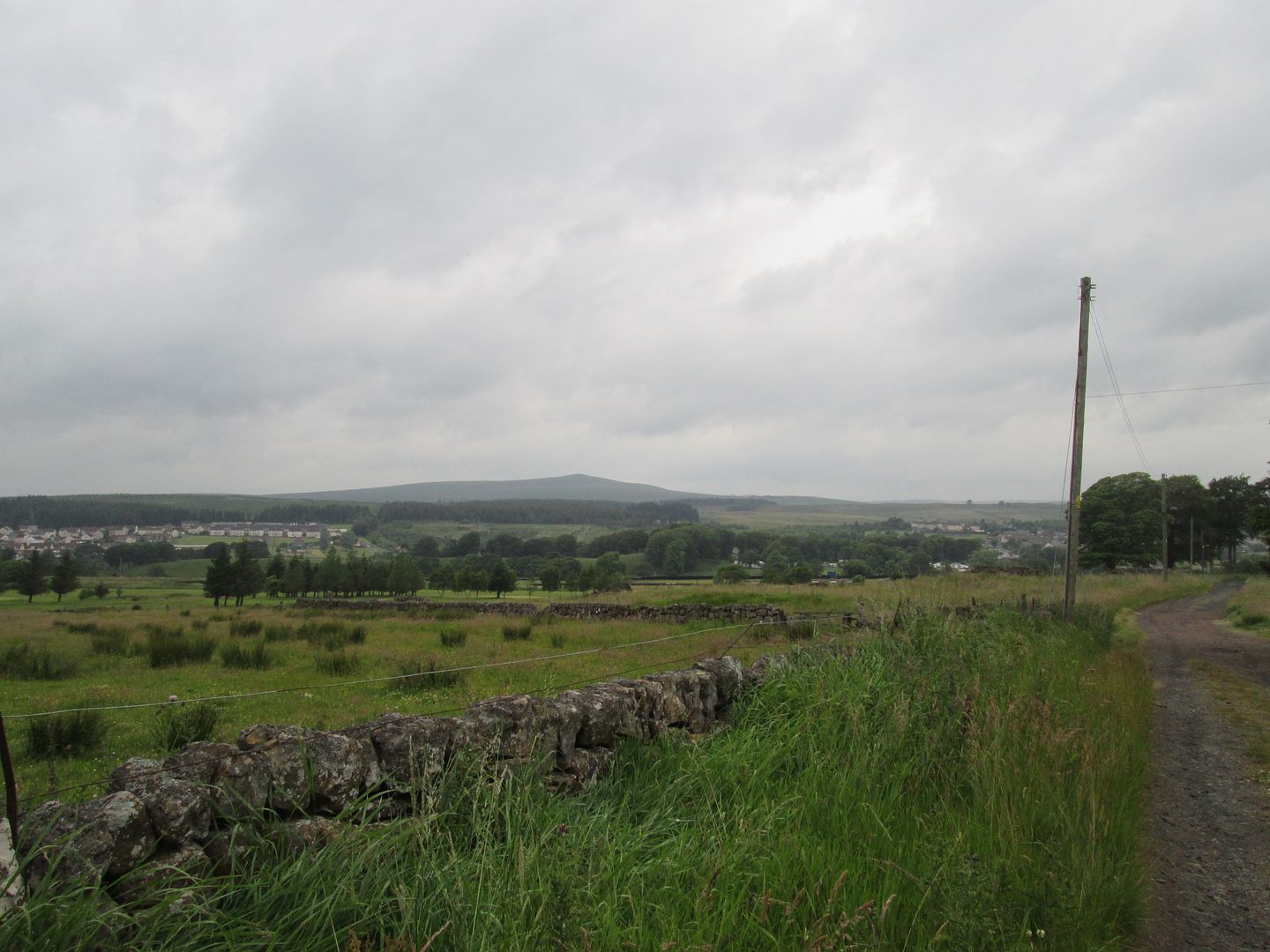 Across the golf course (which used to part of the site of Kames Colliery) to Muirkirk and Middlefield Law beyond
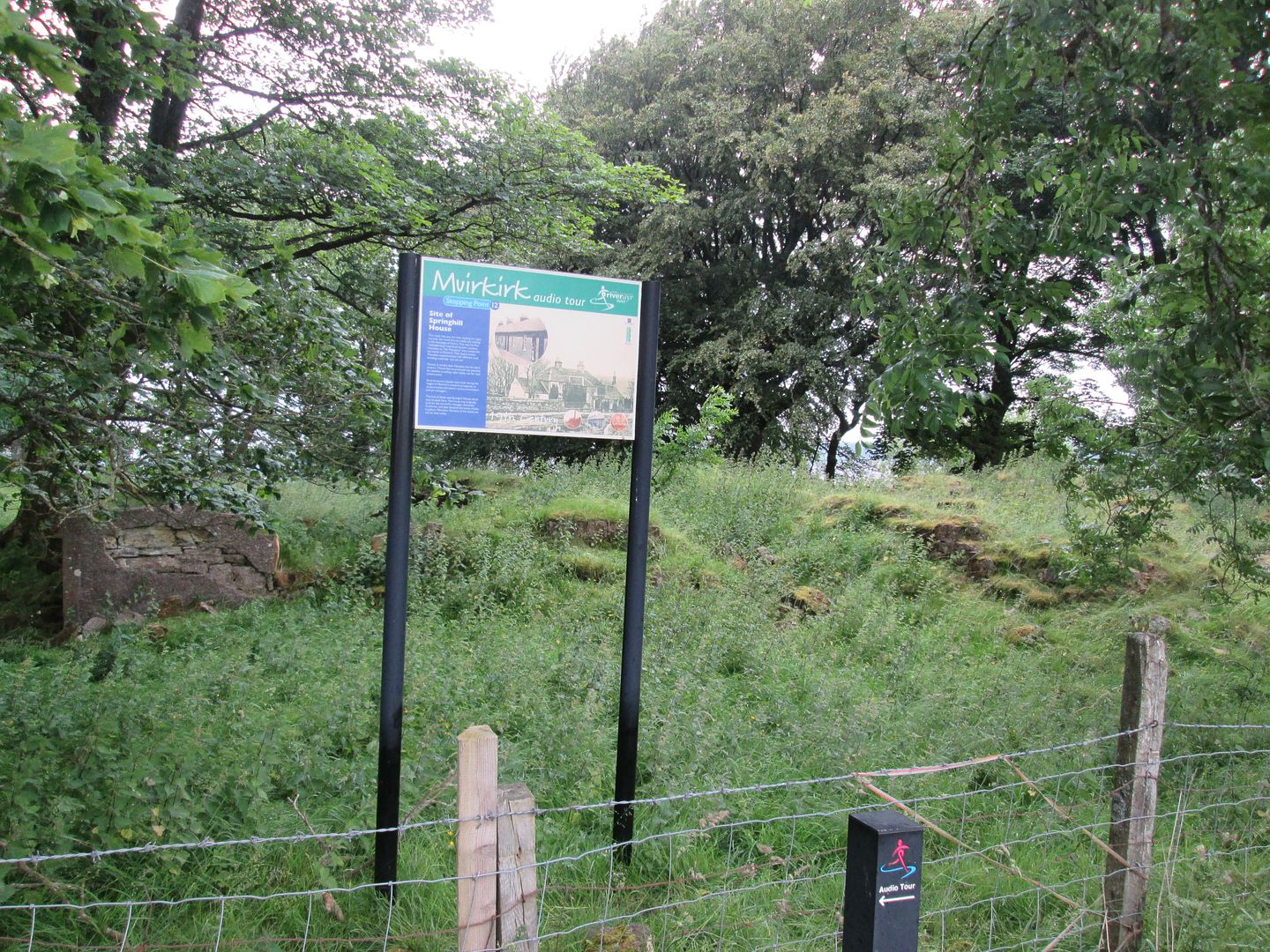 Ruins of Springhill House
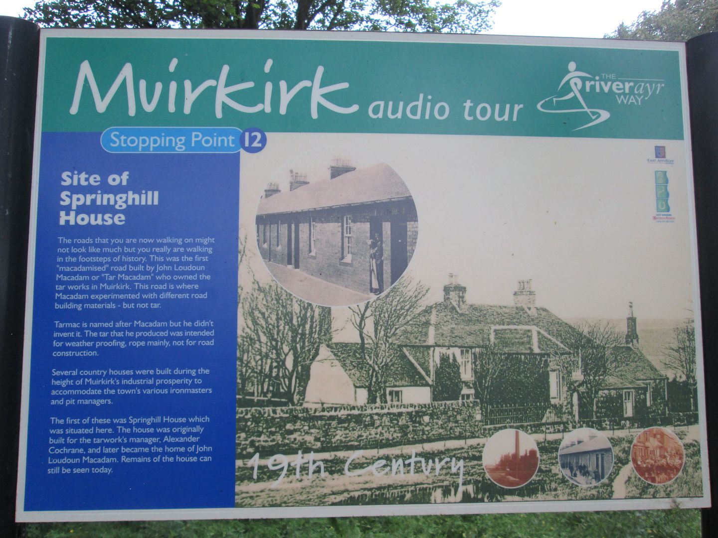 Springhill House interactive audio tour information board
It was also here in the furnaces of Springhill and along this stretch of road that John Loudon McAdam experimented with and perfected his new material for surfacing roads that would eventually be used across the world and bear his name - tarmac. This piece of the jigsaw in Muirkirk's rich industrial heritage is marked by a large memorial cairn and plaque a short distance beyond Springhill House.
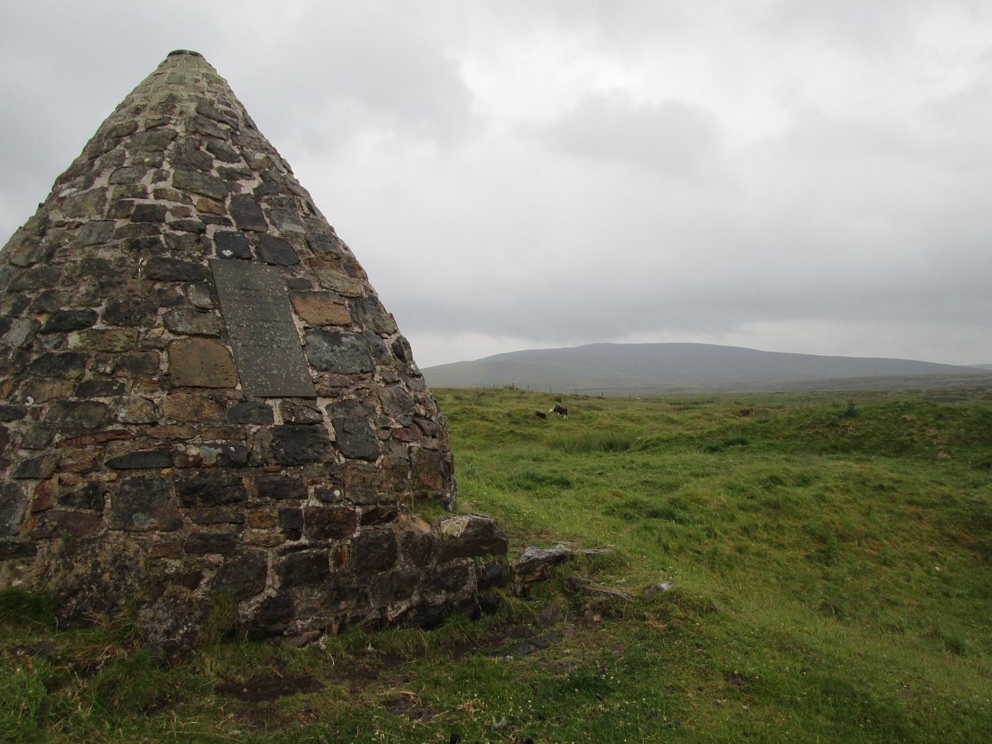 John Loudon McAdam memorial cairn and Wardlaw Hill
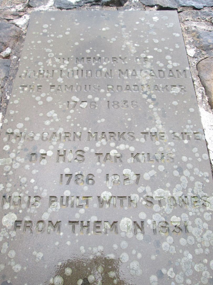 Inscribed plaque on the cairn
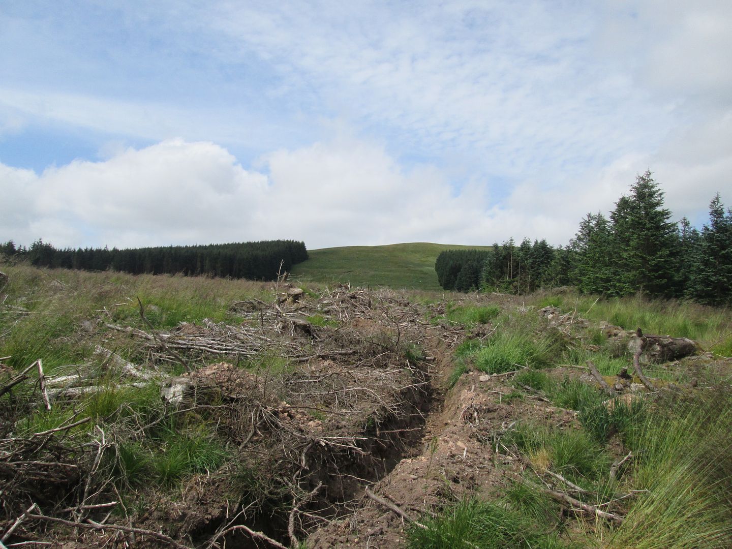
Beyond the JLM cairn, you begin to get the sense that you are leaving Muirkirk behind as the landscape becomes more remote, but still the reminders of the past litter and pockmark the ground in the form of sunken and subsided mine workings, red iron ore staining and patches of coal on the surface and along stream beds.
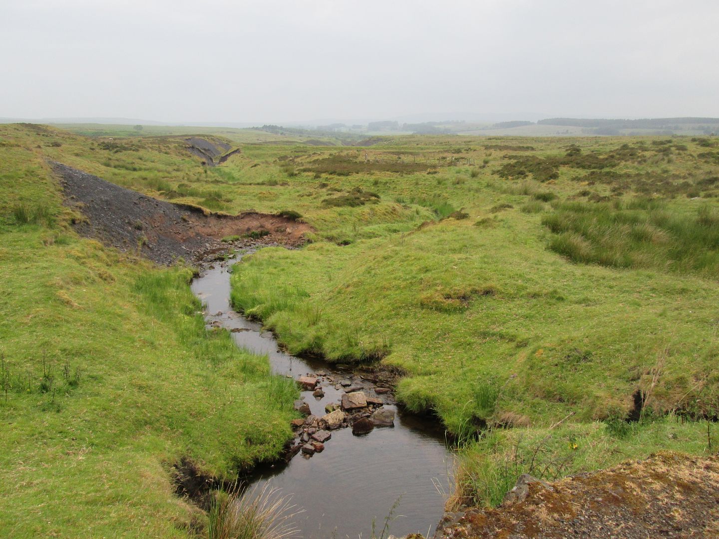 Looking west towards where the above ground buildings and workings of Kames Colliery once stood
The track then begins to descend towards the Garpel Water and the Sanquhar Brig and on the way passes a little raised knoll known as the Whisky Knowe. According to local folklore, illicit whisky producers and smugglers hid a huge stash of bootleg liquor under here in an attempt to prevent the Customs and Excise man getting his mitts on it - and it's still there! Take note all you Whisky Wanderers!
 The Whisky Knowe
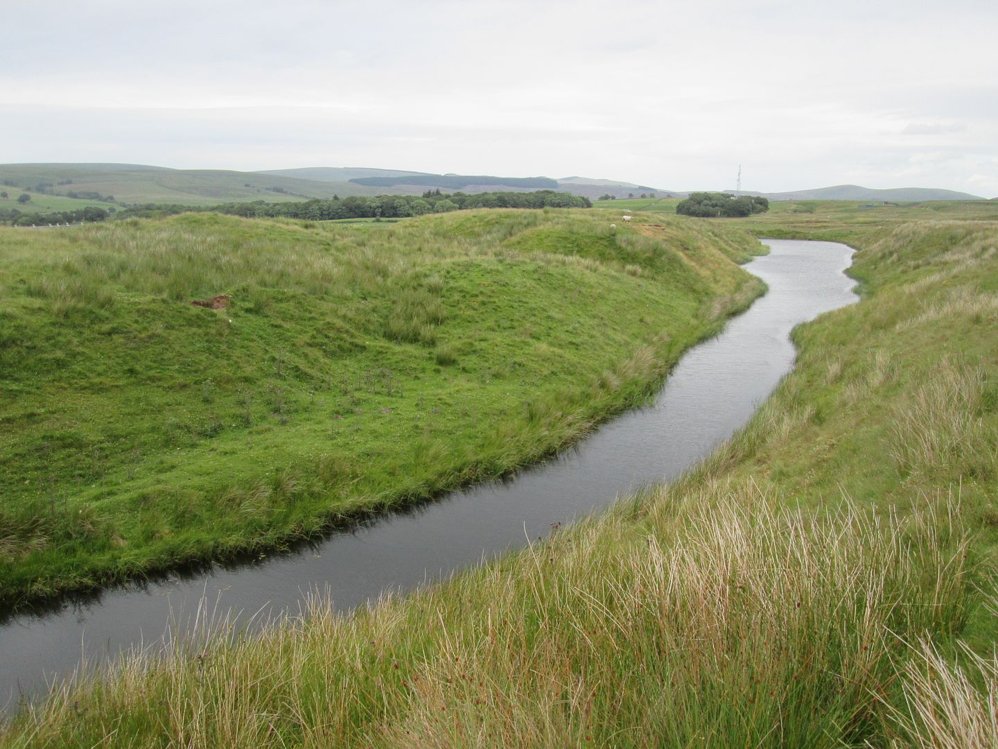
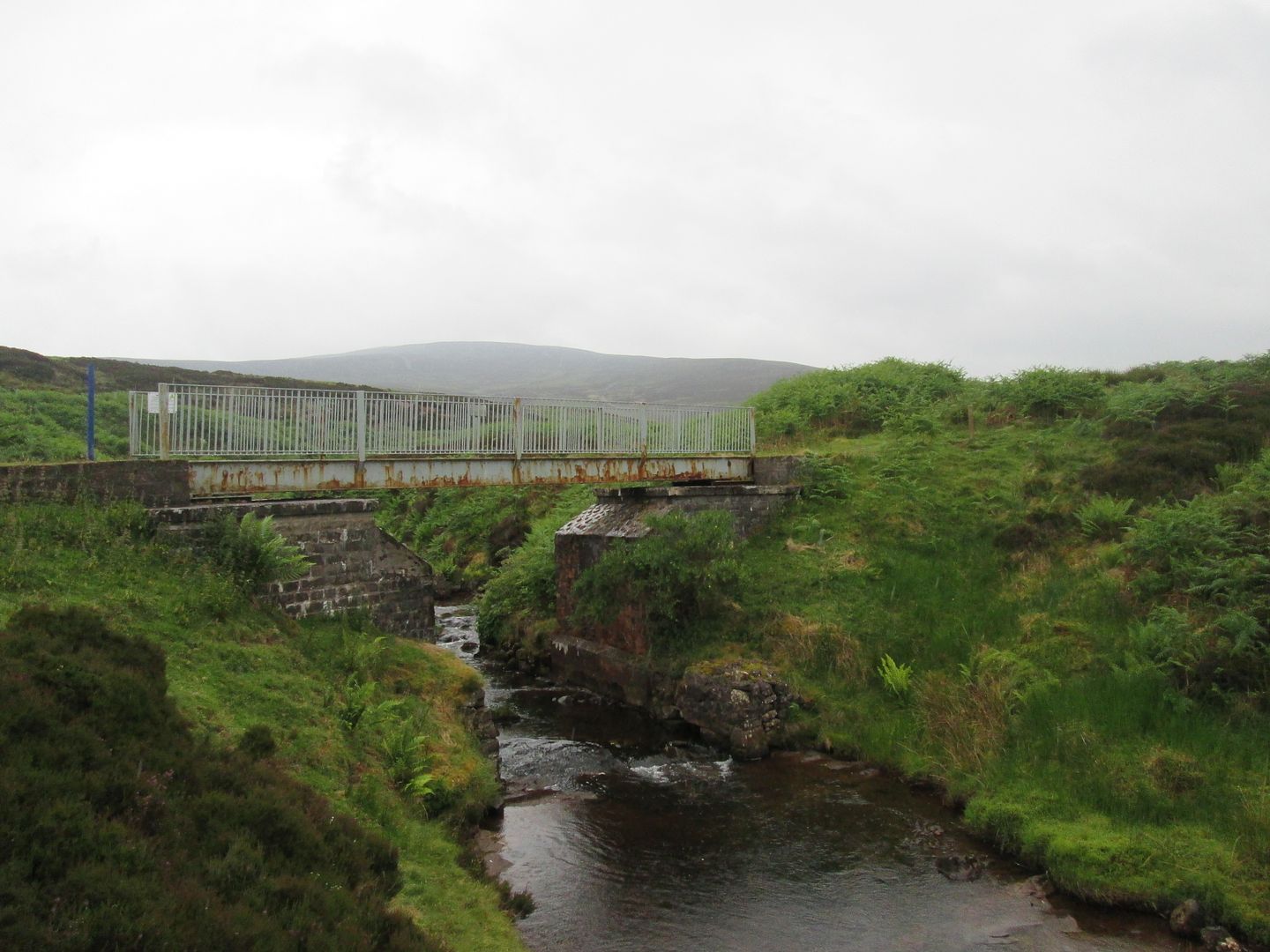 The Sanquhar Brig and Cairn Table
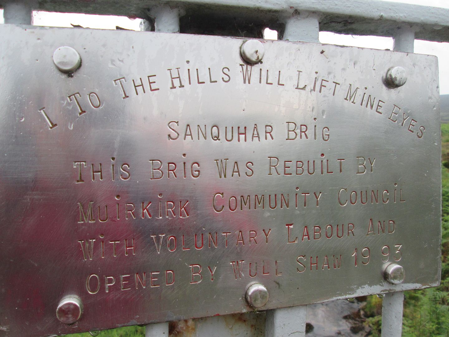 Plaque on the brig
Once across the Garpel Water, the track rises again and starts to become rougher, eventually passing a large rock on the left known as the White Horse. Nowadays if someone told me I was going on a walk and would pass the White Horse, I would envisage a pint and a bite to eat. When my papa first told me about it, I expected ....... well, a white horse to be honest. This rock came as something of a bitter disappointment, being neither especially white nor equine in appearance!

 Ye Olde White Horse
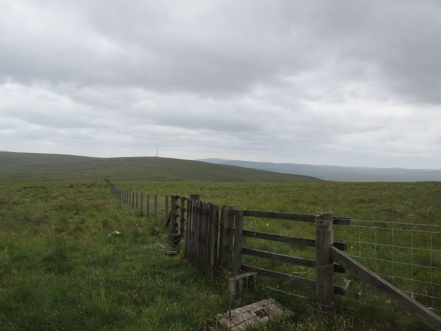
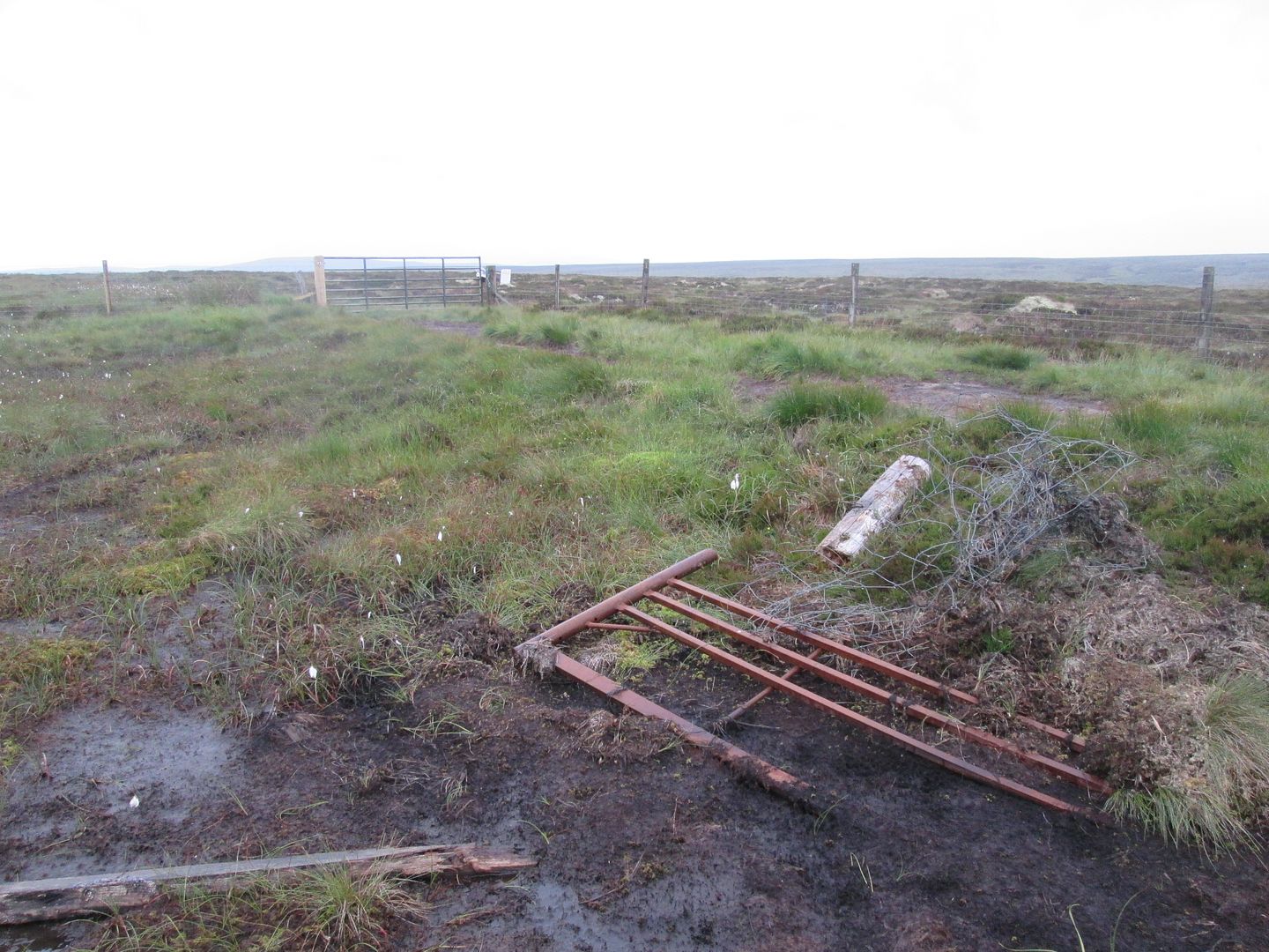 The March Fence - Ayrshire/Lanarkshire border
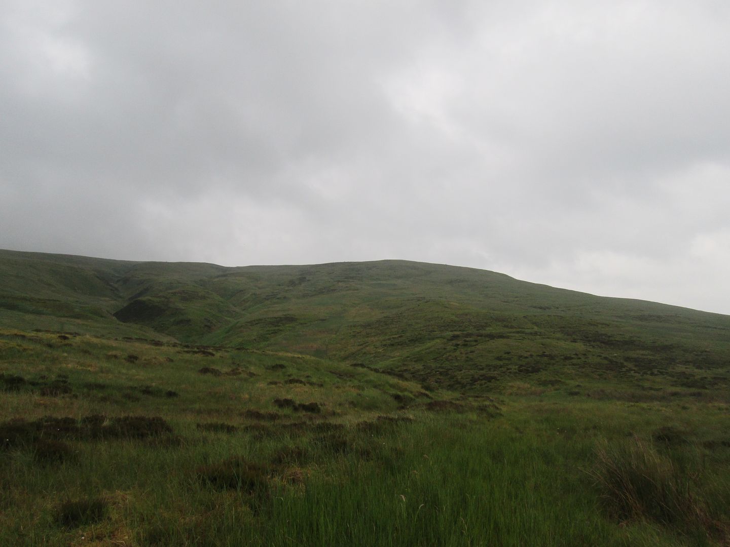
Beyond the March Fence, which constitutes the border between East Ayrshire and South Lanarkshire, the track deteriorates badly and at times all but disappears into deep grass and even deeper bog. If it weren't for the fact that I had been here many times before and knew exactly where I was going, I would probably have started to wonder if I wasn't completely lost at this stage.
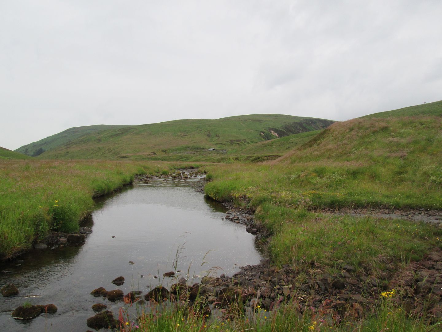
Eventually the "path" descends sharply to the Rangecleuch Burn where my papa and I would often stop off and look for agates in the stream (it was well known as a source of the semi-precious stones), before it is time to strike off south west around the huge dry stane walled sheep pen known as Tupps Park, heading towards Glenmuirshaw and the Glenmuir Water.
 Pepper Hill and the course of the Rangecleuch Burn - the diamond shaped wedge of land was always a familiar landmark and would indicate that we were almost there.
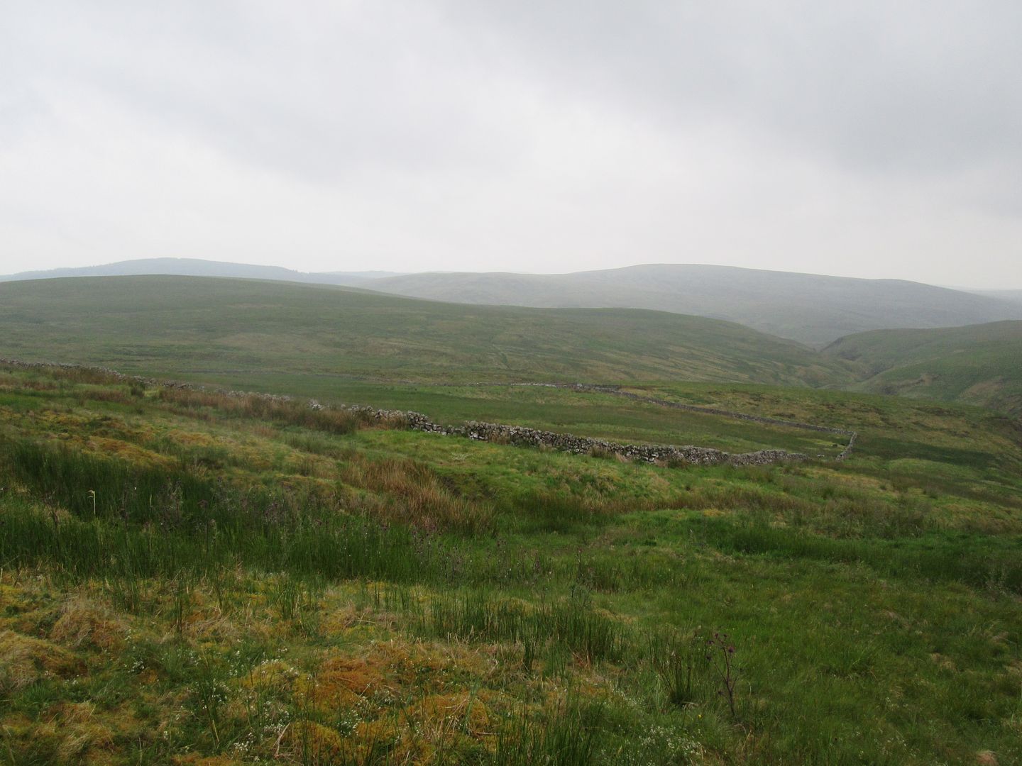 Tupps Park and my route down the Rangecleuch far right of the picture, with West Foredibban Hill in the background
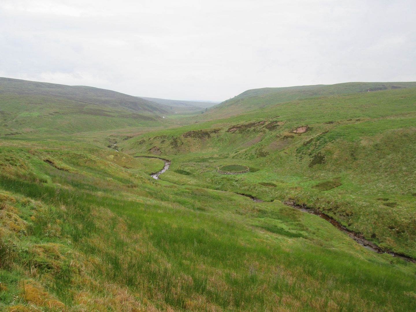 Heavy going along the Rangecleuch
I had wanted to go this way (rather than the direct route over Connor Hill) because the first time I actually witnessed my Papa guddling for brown trout was on the stretch of the Glenmuir Water below the falls and above the point where the Rangecleuch enters, and I wanted to revisit that stretch and try to relive that memory from years ago. It was hard going though, especially along the Glenmuir itself where the steep, narrow walls of the gorge carved by the river made for difficult footing and the ferns were extensive and at times chest high.
 The confluence of the Rangecleuch Burn and the Glenmuir Water below Glenmuir Hill
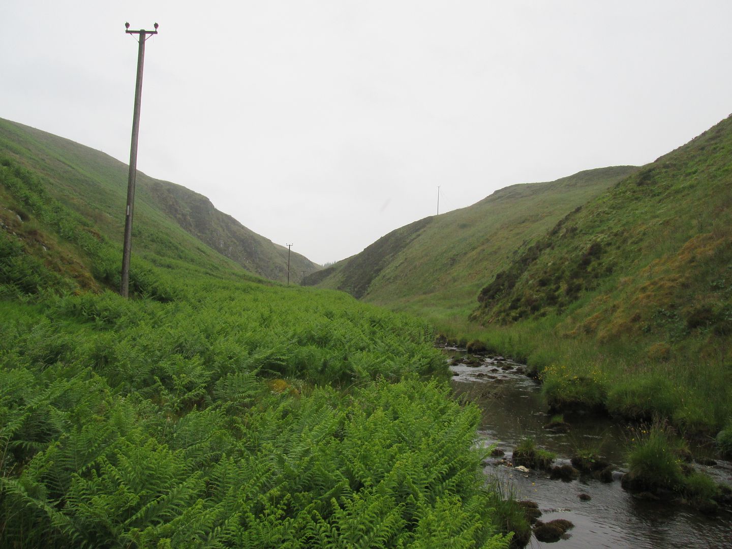 Seriously tough going up the Glenmuir Water towards Connor Craigs and the Deil's Back Door
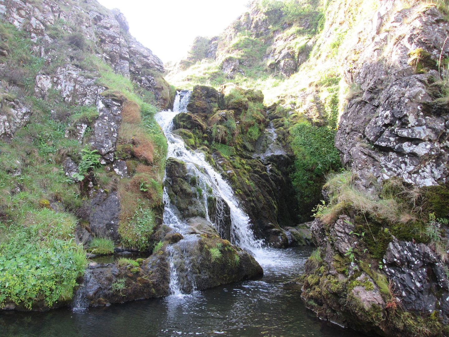
Eventually the Deil's Back Door came into sight. I have childhood memories of approaching it this way and hearing the roar of the water cascading over the full extent of the falls before seeing it. Tonight however it was quite benign with no thunderous roar and, if I'm being honest, not much drama about it at all. But then again, the passing of the years often removes some of the shine and the magic from what had been exciting childhood memories.

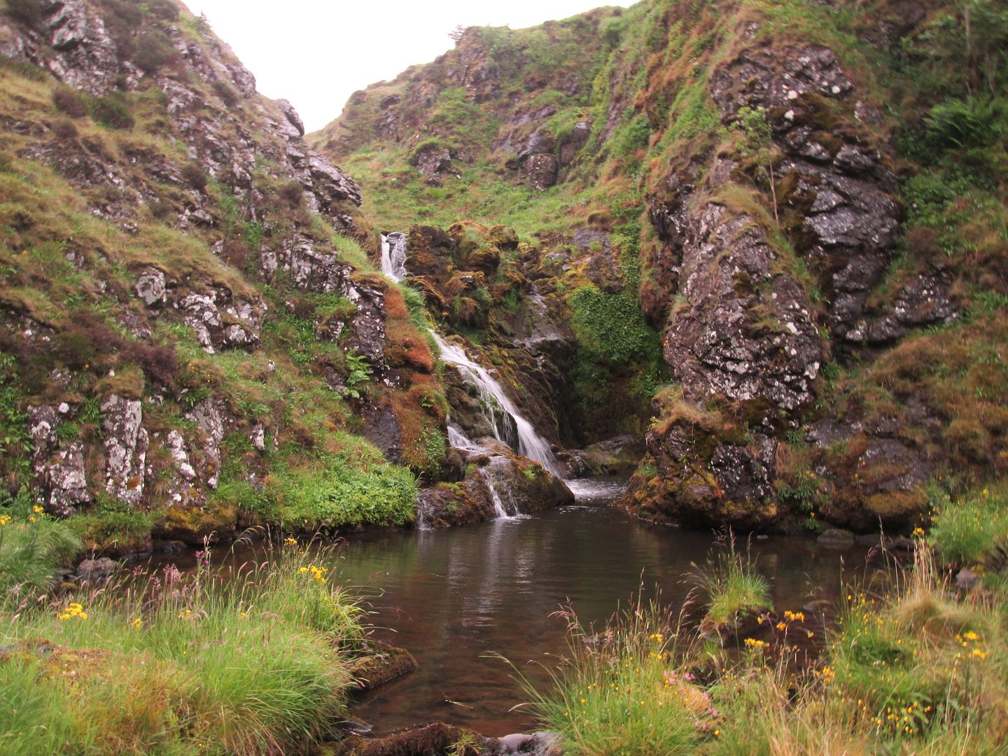 The Deil's Back Door
I had hoped to be able to pitch the tent below the falls, remembering a flat(ish) patch of grass by the side of the river, at the foot of the scree slopes of Connor Craigs. However, my memory was obviously being a bit too selective as it was really a bit too lumpy and tussocky to comfortably pitch the tent.
Instead I clambered up onto the narrow sheep path that climbs up above the falls, a path that used to scare the living daylights out of me in my childhood! After a bit of toing and froing, I settled on a site high up above the falls on the other side, on the slopes of East Foredibban Hill. It was not an ideal site, being on a slope and precariously close to the edge of the drop down into the gorge, but the rain was settling in and I was done with searching. I just wanted to crack a can open and get dinner on.
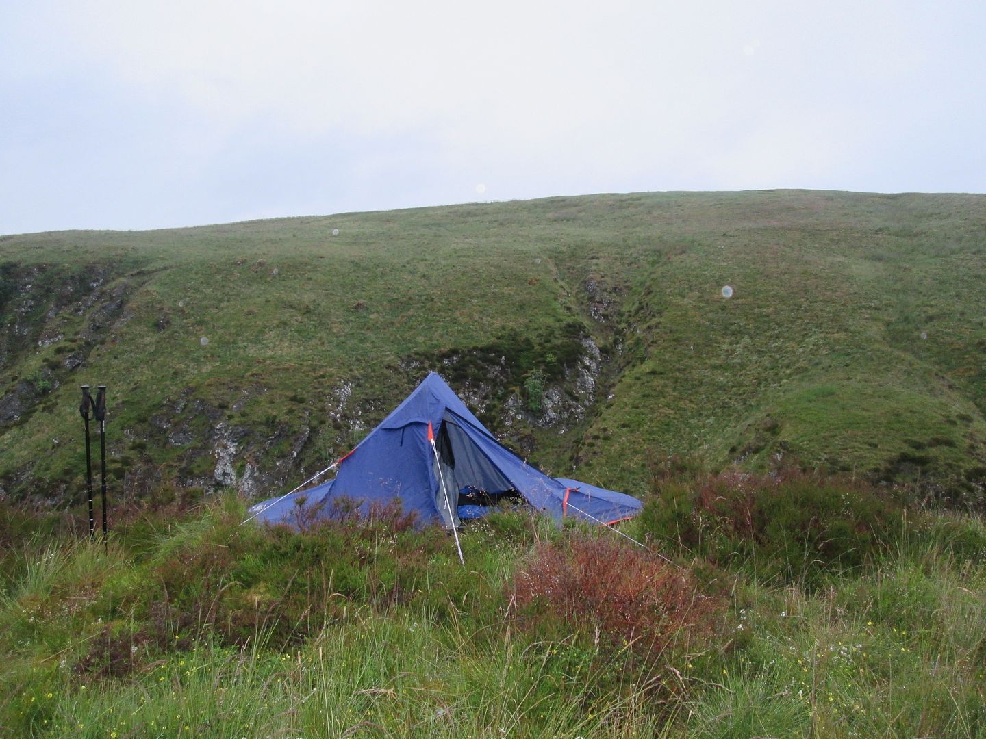 Pitched for the night on East Foredibban Hill above the gorge of the Deil's Back Door, Connor Hill on the other side
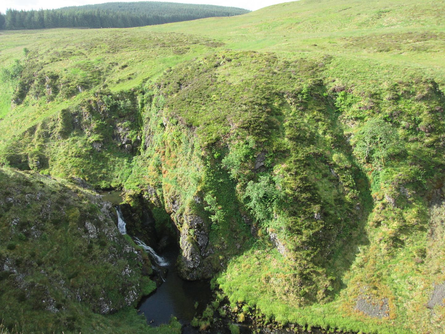
I woke after a fairly fitful night but at least glad to see that the weather looked a bit more settled than the previous day. After a quick breakfast, I descended back down to below the falls and contemplated how best to tackle the onward route to Kirkland Hill. Yesterday had all been on familiar ground, but much of today's route was taking me well and truly off piste.
 Morning at the Deil's Back Door
I recalled my Papa dramatically explaining (on more than the one occasion), the story behind the name of the falls. It had been so named by Royalist troops in the 17th century at the time of the persecution of the Covenanters. This area had been a stronghold of the Covenanters and a focus for attempts by the troops to flush them out and persecute them. The wide open moors had also made for good places to hold Conventicles, and for Covenanters to go to ground when on the run. One wild stormy night, according to local lore, Royalist troops were making their way up the Glenmuir Water in search of a fugitive Covenanter. As they approached the thunderous falls, they noticed a pair of eyes reflecting light back at them from some nook or cranny within the rocks below the cascade of water. It was of course just a sheep seeking shelter from the storm but they were spooked, and believed it to be the eyes of the Devil himself looking out from his hideaway. Thus the legend of the Deil's Back Door was born.
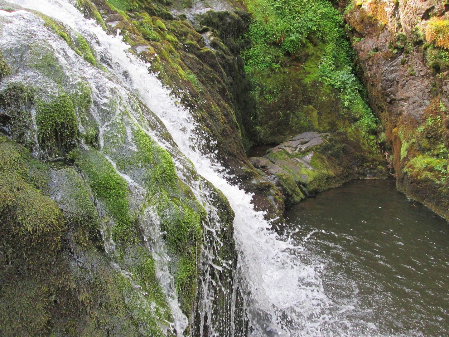 Close up looking down into the plunge pool
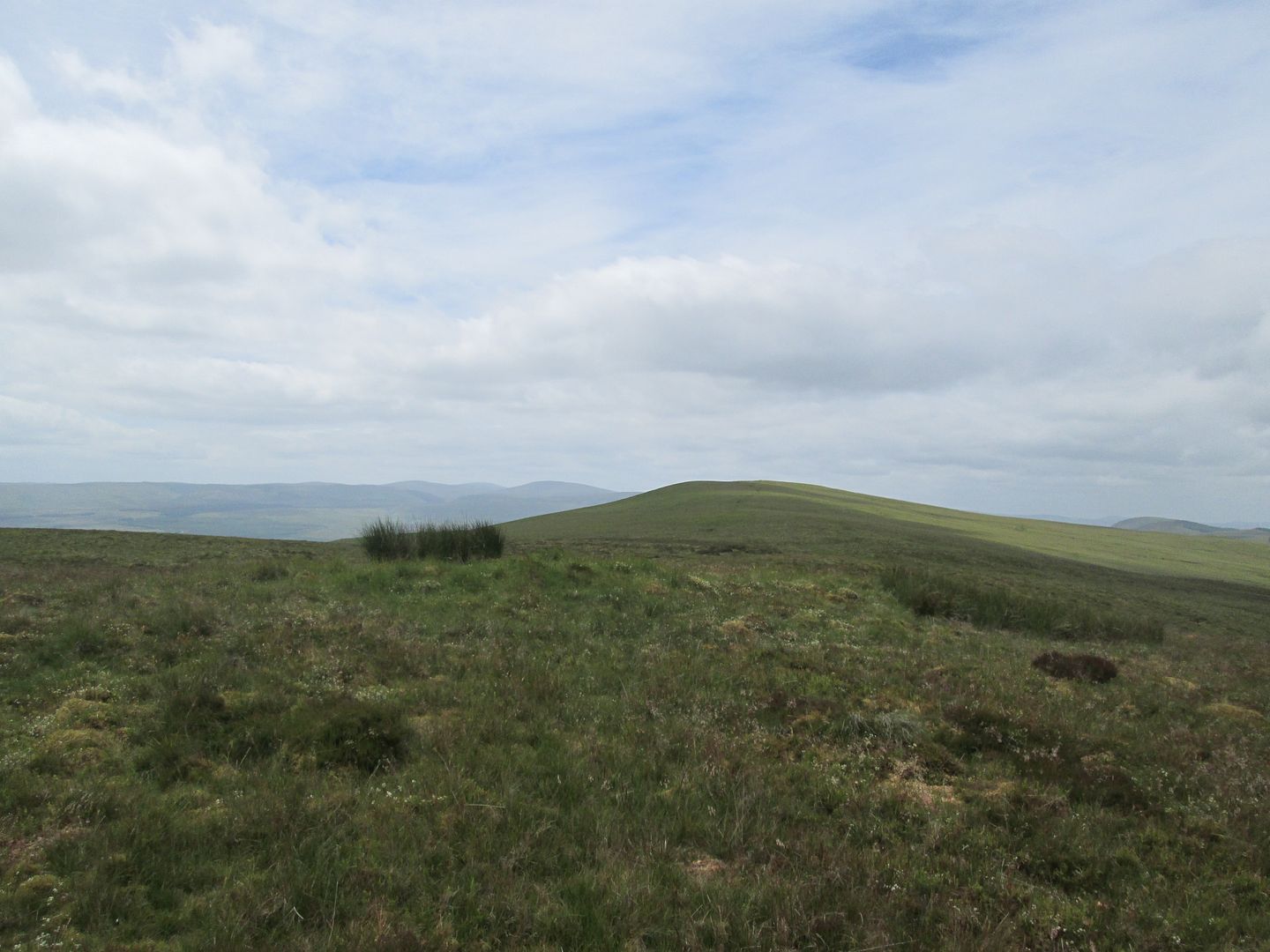
The OS sheet showed a great swathe of forestry cutting across my onward route and although I was getting a reasonable view of it from my vantage point on East Foredibban Hill, I reckoned that heading over onto the summit of Connor Hill would give me a better picture. It might be that the best bet would be to head all the way back to pick up the old Right of Way below Pepper Hill, then follow it into the forestry over Penbreck Rig towards the Poldiver Burn. But I also remembered a couple of occasions when my Papa and I had fished above the falls, even going well into the forestry itself to where the Glenmiur Water becomes so narrow that you can step over it in places.
I headed up onto Connor Hill anyway, as much for nostalgic reasons as for the purpose of getting a better view. I had already decided that I was going to try to follow the Glenmuir upstream through the forestry to just beyond the Poldiver Burn where, according to my map, I would join up with a track that would lead south around Earl Hill, from where a left turn at a junction would take me around the edge of Glengaber Hill to the end of the track and the edge of the forestry, where I could get access to Kirkland Hill.
 Across to last night's camping spot from the ascent of Connor Hill
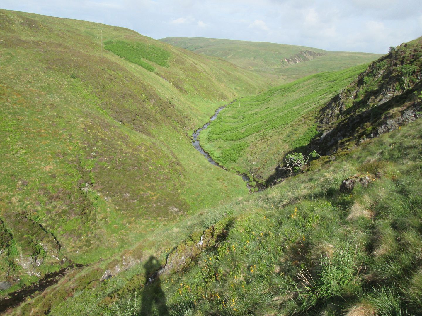 Back down the Glenmuir Water to Glenmuir Hill
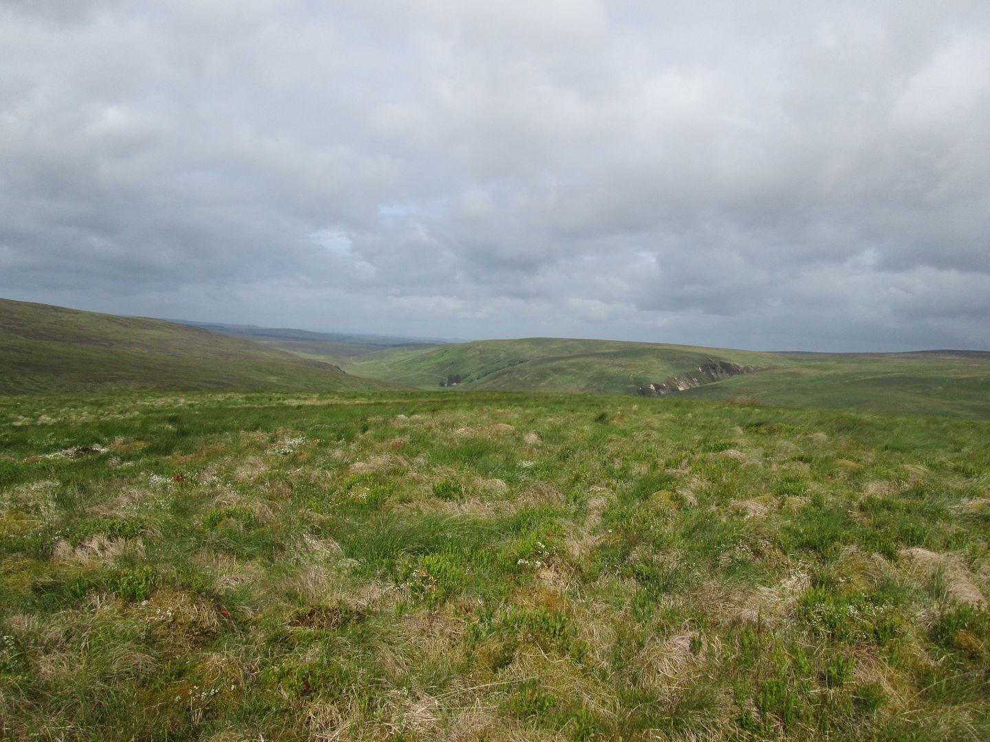 Glenmuir Hill from the summit of Connor Hill
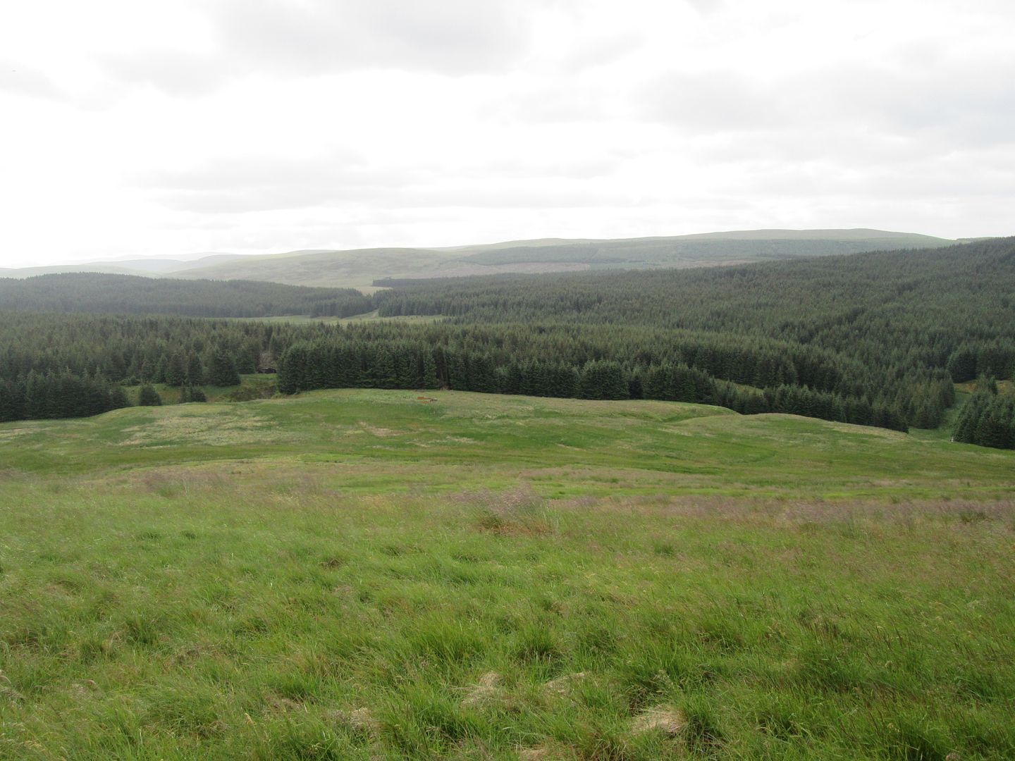 Now, time to try and find a way through that forestry!
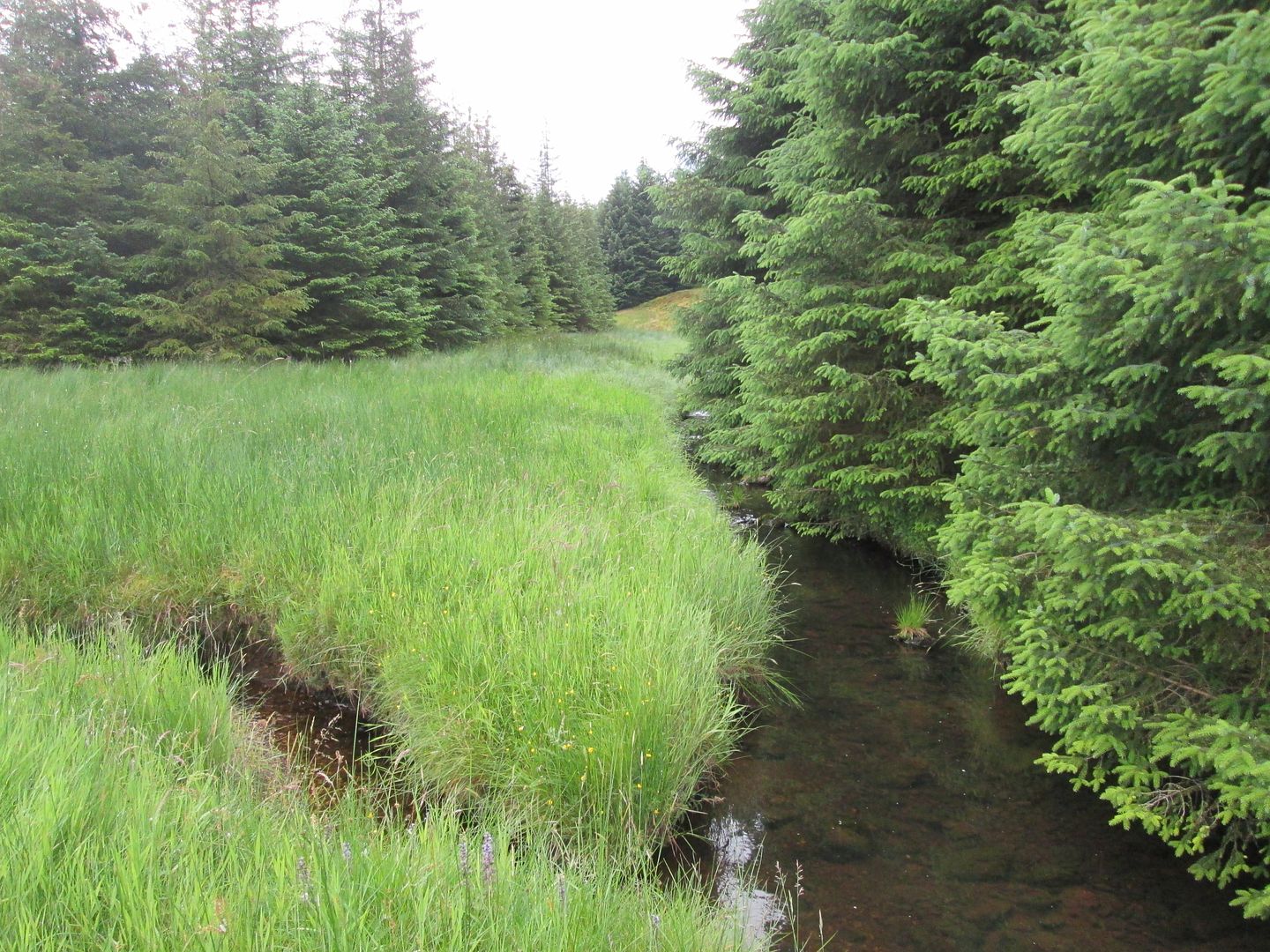 The March Burn joining the Glenmuir at the entrance to the forestry
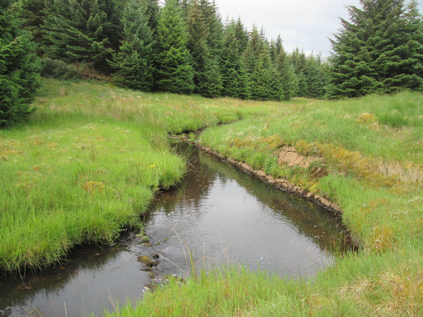 Upper reaches of the Glenmuir Water
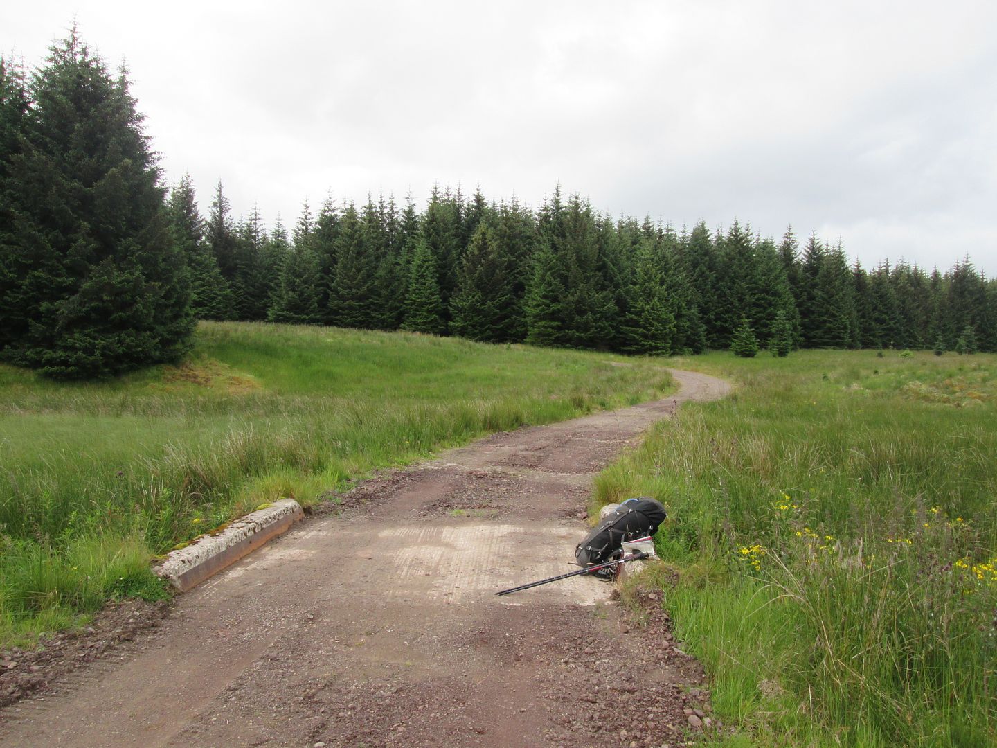 Onto the track
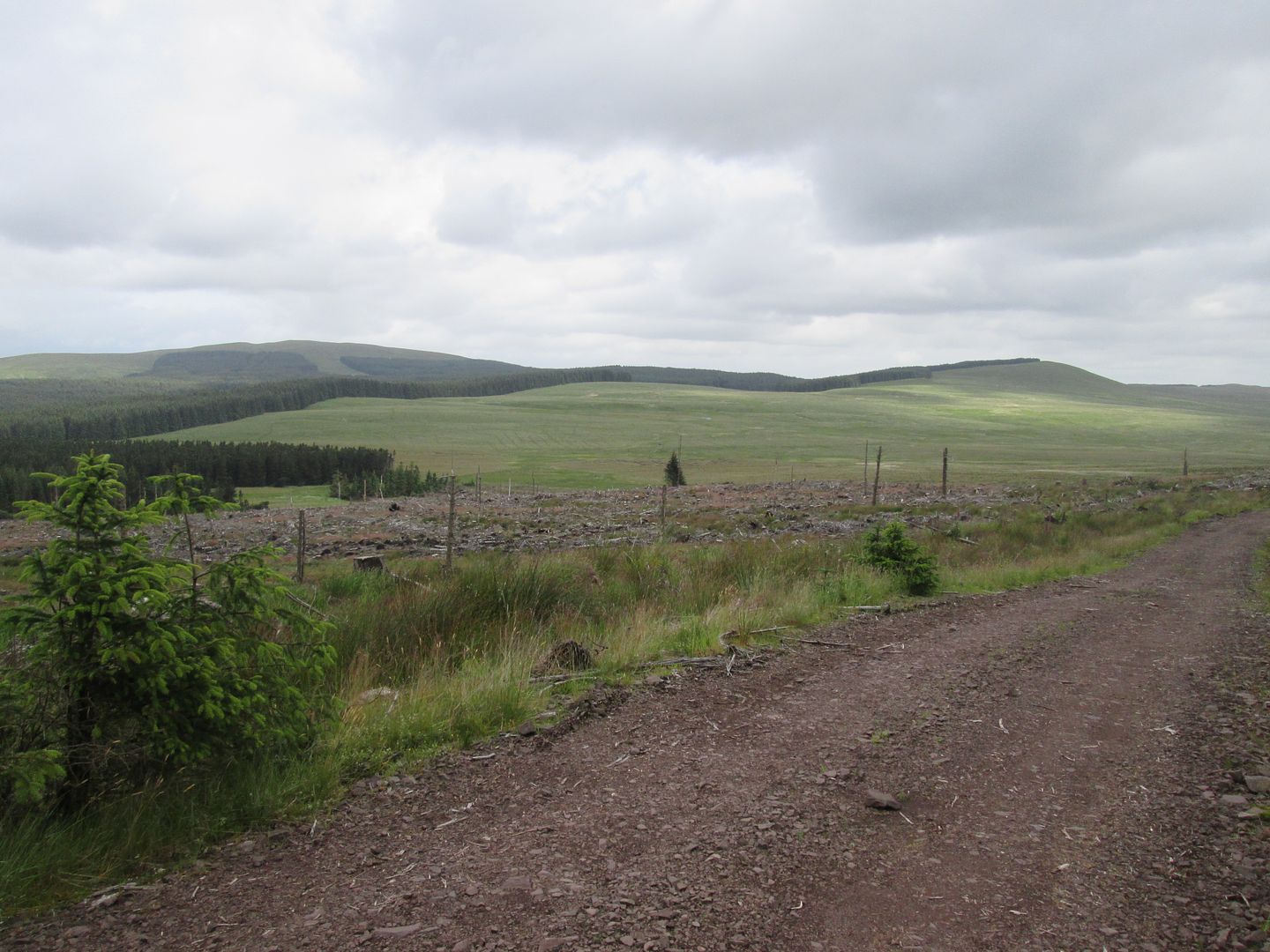 Stony Hill and White Hill from the track towards Glengaber Hill
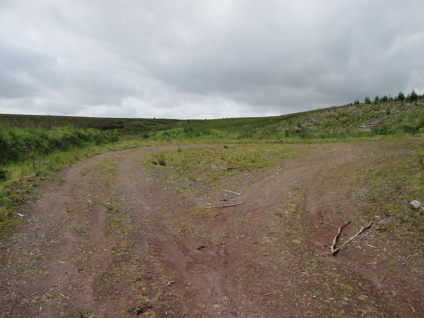 Abrupt end to the track
This felt totally different to yesterday. Now I was somewhere that I had no previous connection to, yet it was a logical extension to the walks my Papa and I used to do. A kilometre or so of pretty rough ground brought me to the bealach between High Knypes and Kirkland Hill and a fence and a stile leading to the summit of the latter.
I tried to recall reports that I had read about Kirkland Hill. One or two sprung to mind, but they had been via the "tourist" route from Kirkconnel and Nithsdale. I wondered again whether anyone else in the history of the world had "bagged" Kirkland Hill this way!

I spent a good 20 minutes or so on the summit gazing at the unfamiliar views and trying to identify unfamiliar hills. Kirkconnel and Sanquhar were clearly visible on the River Nith and the hardware cluttering the summits of the Lowthers away to the east made them easily identifiable.
 Todholes Hill from the High Knypes/Kirkland Hill bealach
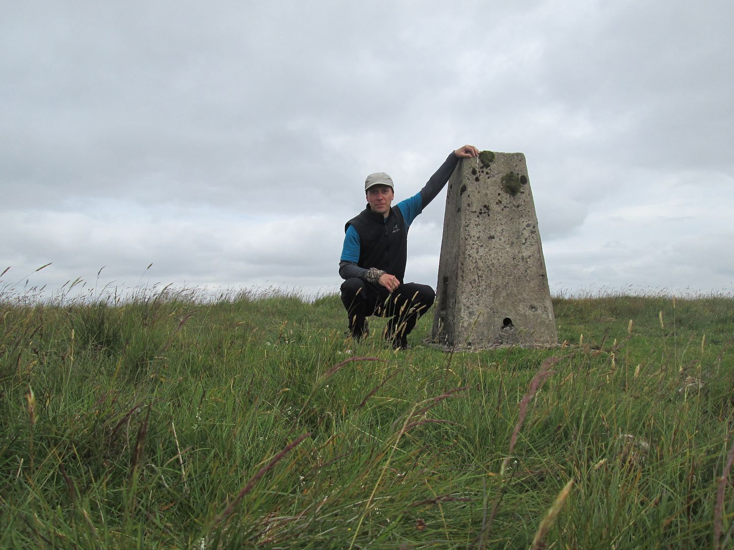 Summit of Kirkland
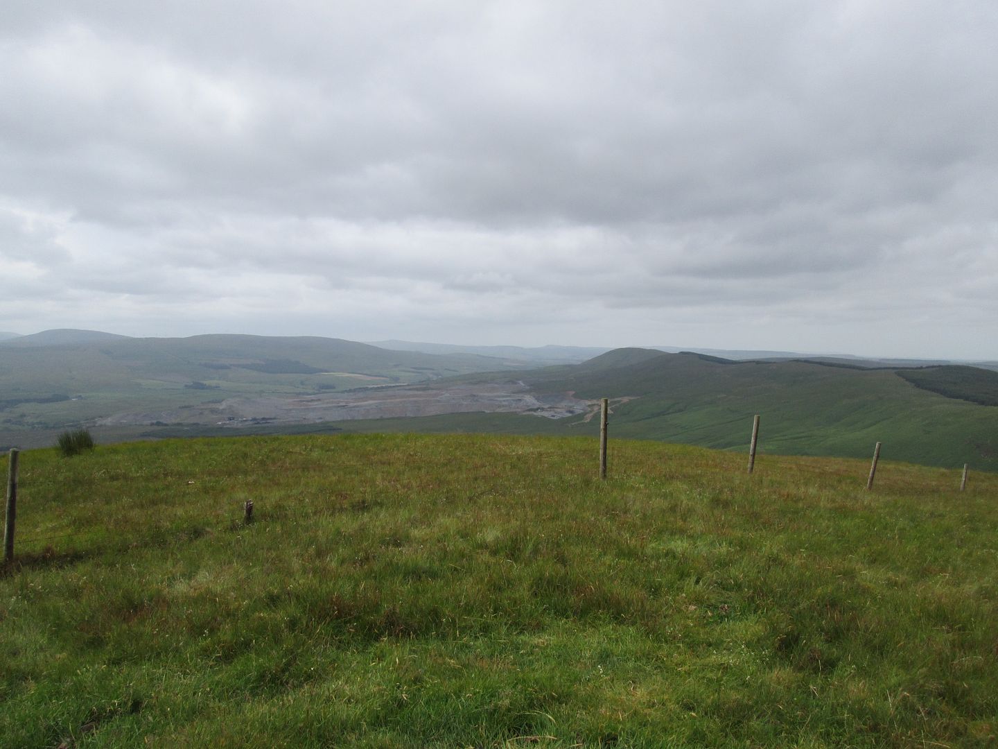 West from Kirkland across the escarpment of Halfmerk, Lethans and Niviston Hills
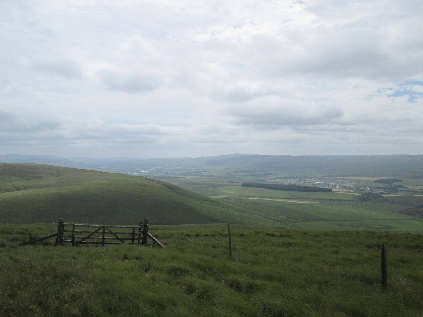 Kirkconnel and Sanquhar - deepest darkest Nithsdale
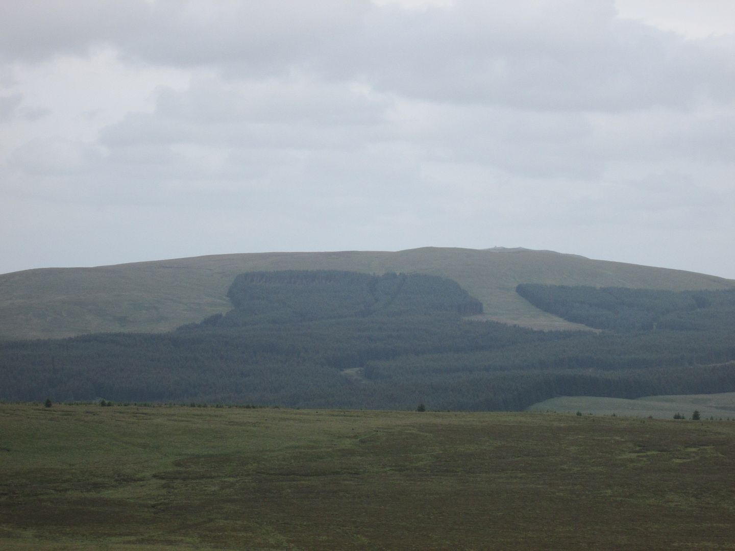 Zoomed to Stony Hill with Cairn Table popping up behind
I returned to the bealach to be reunited with my pack which I had left there, before skirting to the north west of High Knypes and across the Fingland Burn. From there I headed between Glengaber Hill and Lower Glengaber Hill to pick up the Glengaber Burn which I followed down to the track north of the farm at Fingland, below the slopes of the wonderfully named Knockenshag.
 High Knypes
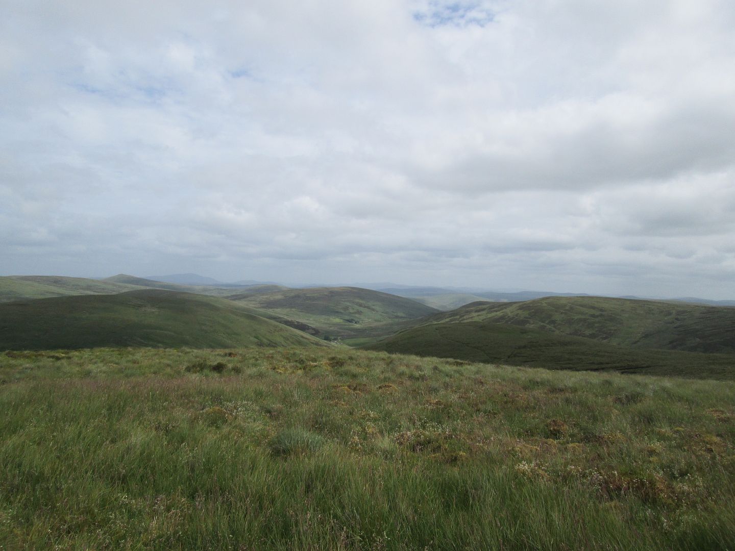 Between Lower Glengaber Hill and Glenguffock Hill towards Fingland
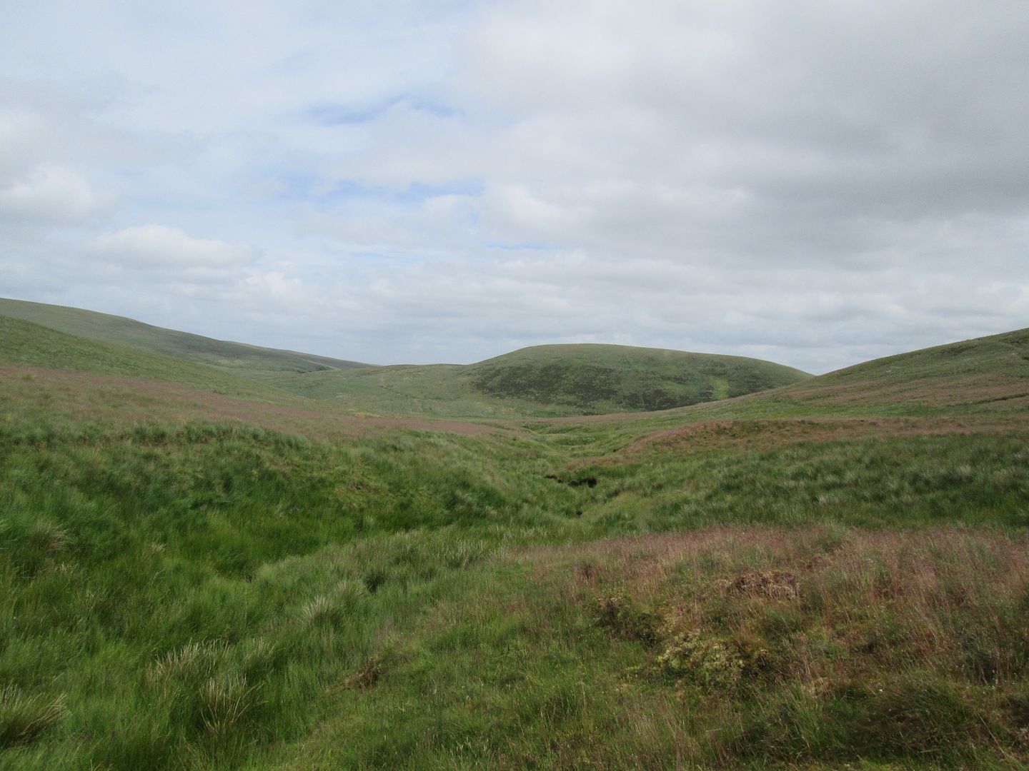 Knockenshag from the Glengaber Burn
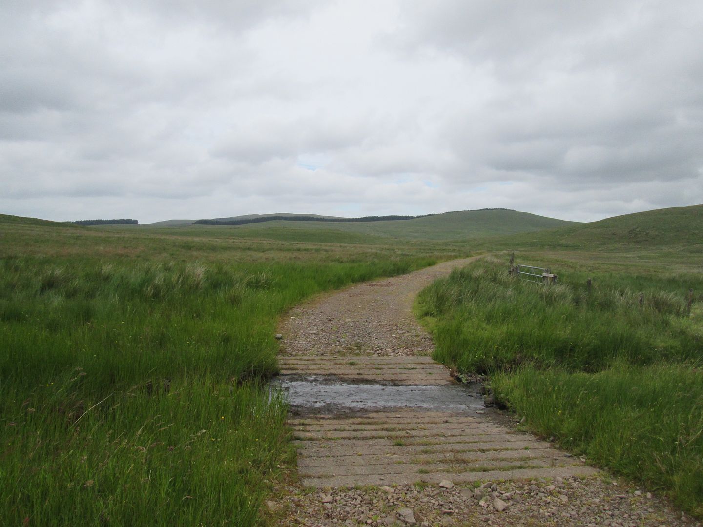 Joining the track below Knockenshag - view to White Hill and the western flanks of Mount Stuart
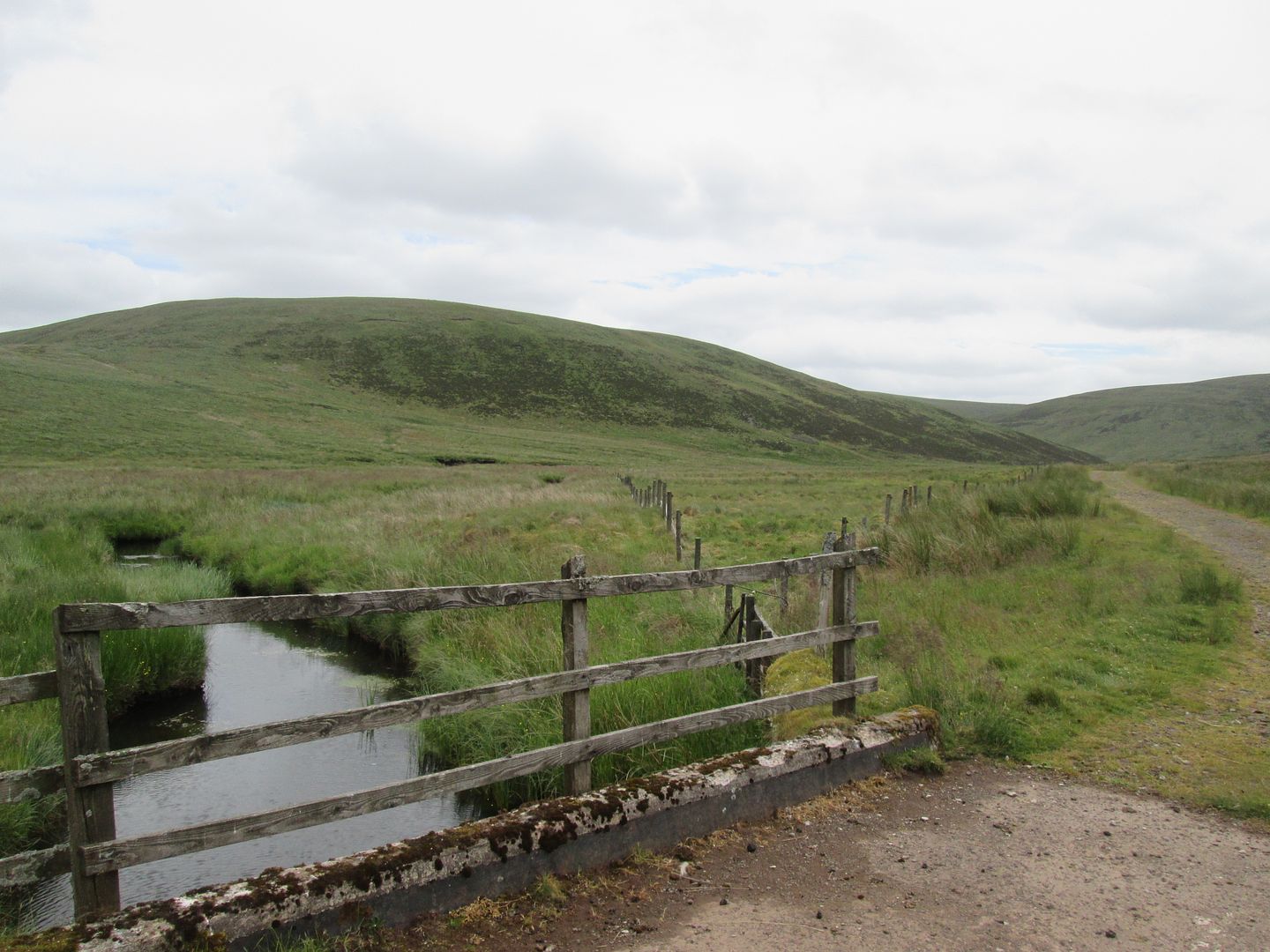 Knockenshag
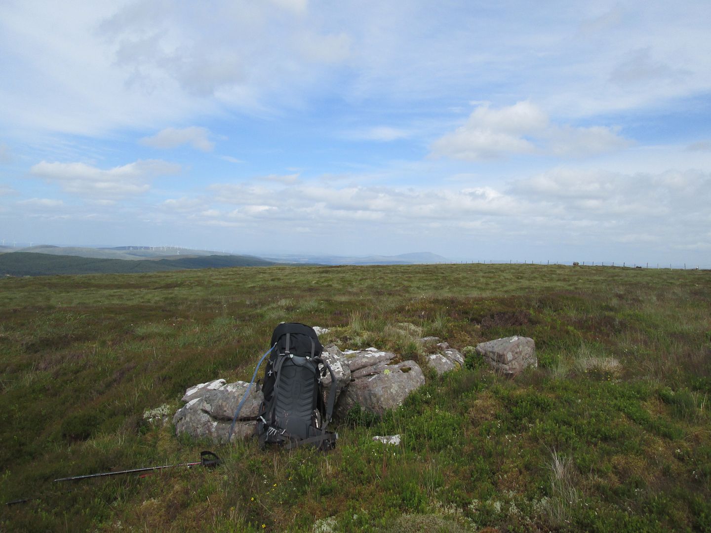
Now it was like being on a four lane motorway which led me north past Mount Stuart before turning sharply west then north again to take me back into the blanket of forestry at Black Law. The easy option now would have been to follow this track north east around Mid Hill then north west past North Bottom and out behind Cairn Table, my next destination. Most of this would be through dense forestry though, and the alternative of heading over Stony Hill not only got me out of the forestry, but felt like it would take me more quickly back onto more familiar ground. And as I have said, revisiting familiar ground was essentially what this trip was all about.
 Stony Hill
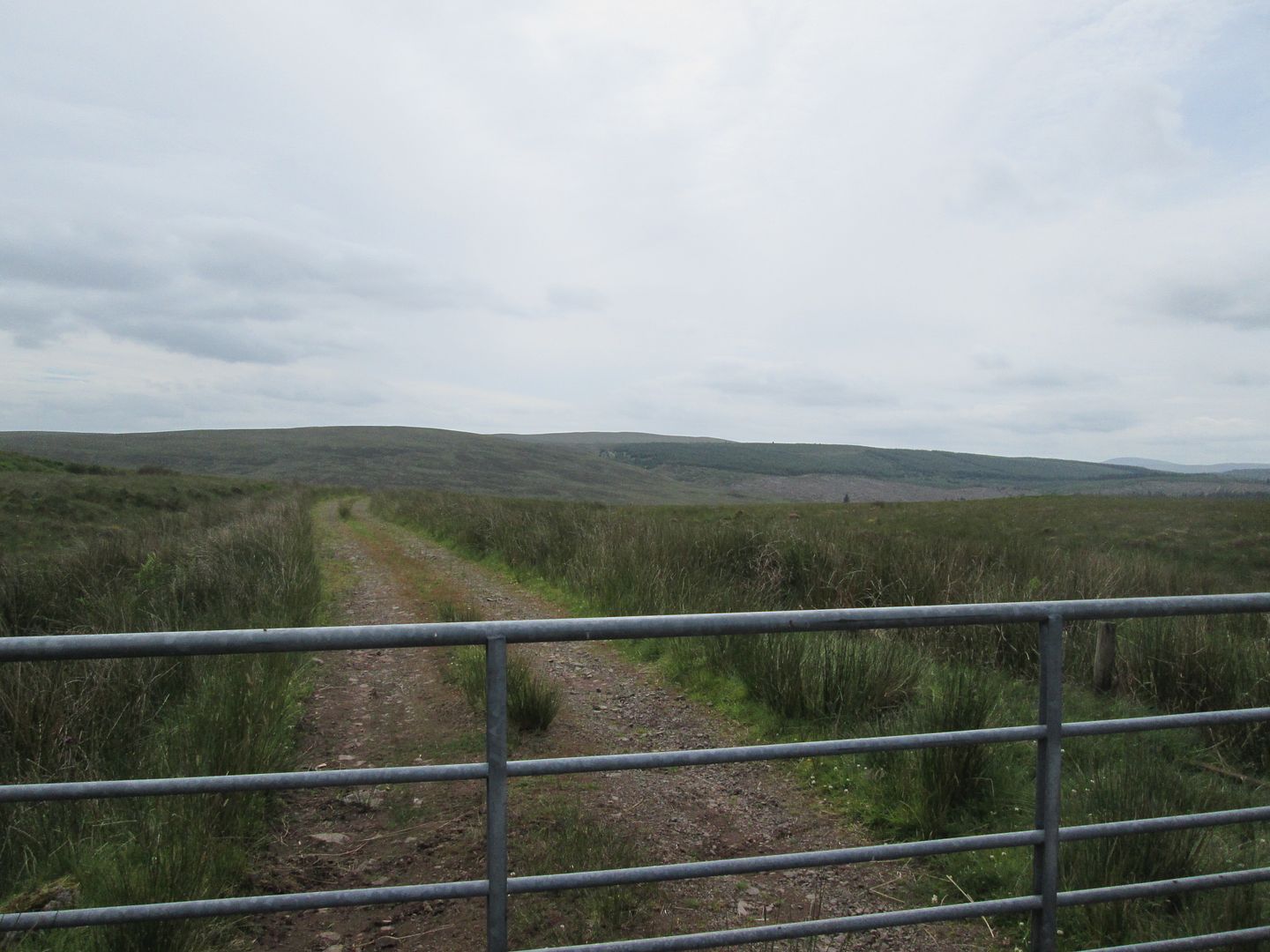 Back to Kirkland
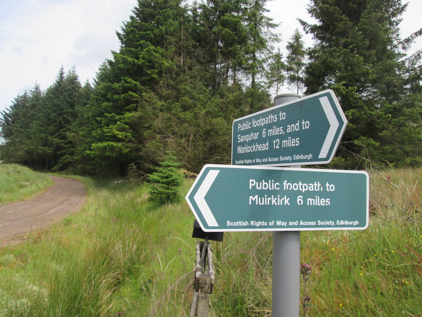 Left turn by the Poldiver Burn - heading for the firebreak on Stony Hill
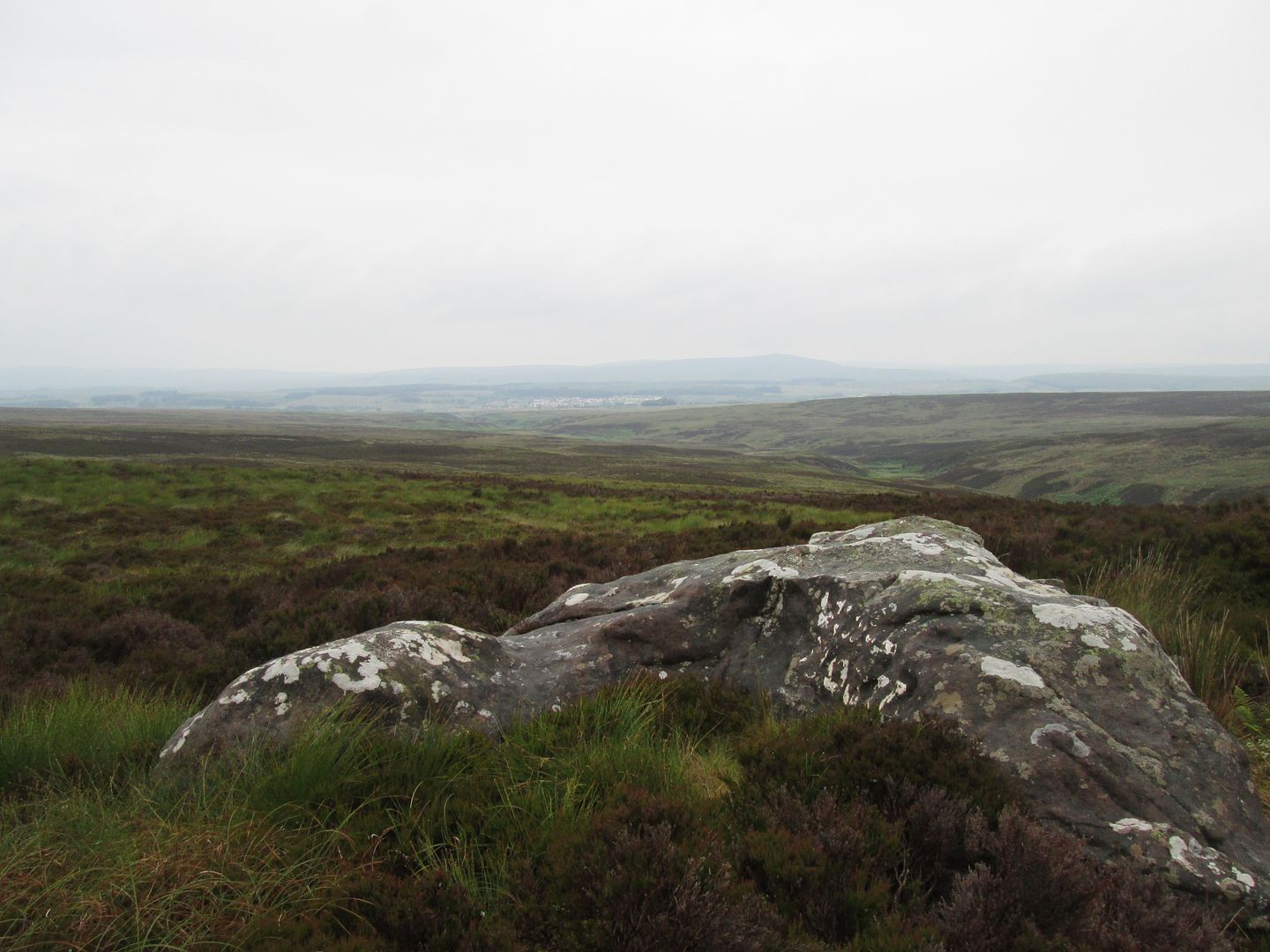
The track led me back over the Poldiver Burn and then swung north to a tight hairpin bend where a few hundred metres of rough, tree felled terrain led to the open firebreak up onto Stony Hill. This was now the brightest part of the day and the flies became an issue for a while. There were grand views east towards Tinto and as I reached the summit of Stony Hill, the views towards Cairn Table opened up before me.
 Rough going at the foot of the firebreak
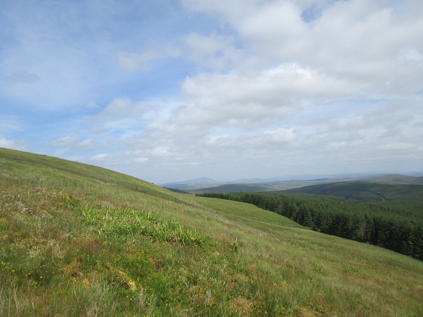 Distant Tinto
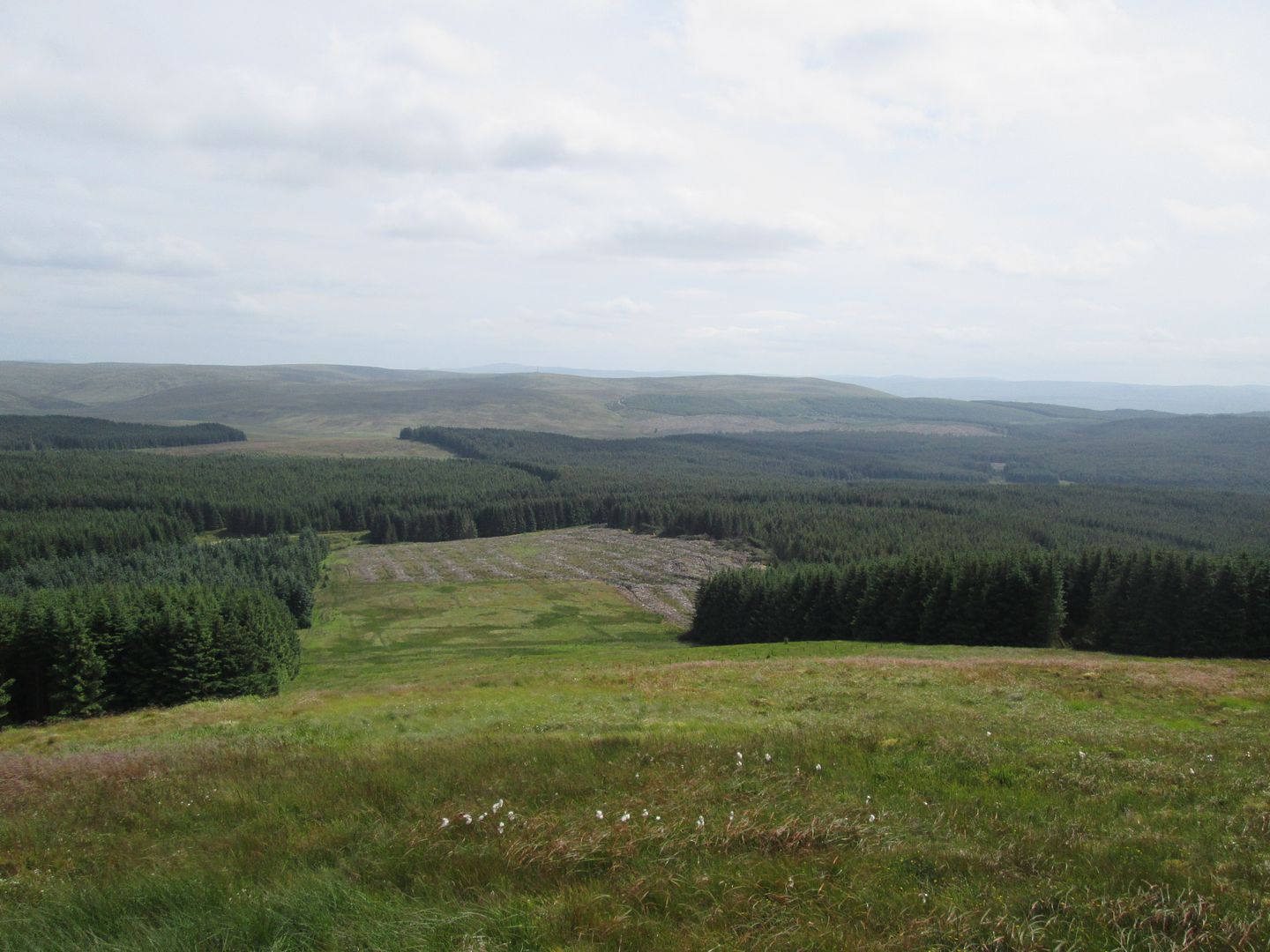 Back to Kirkland again
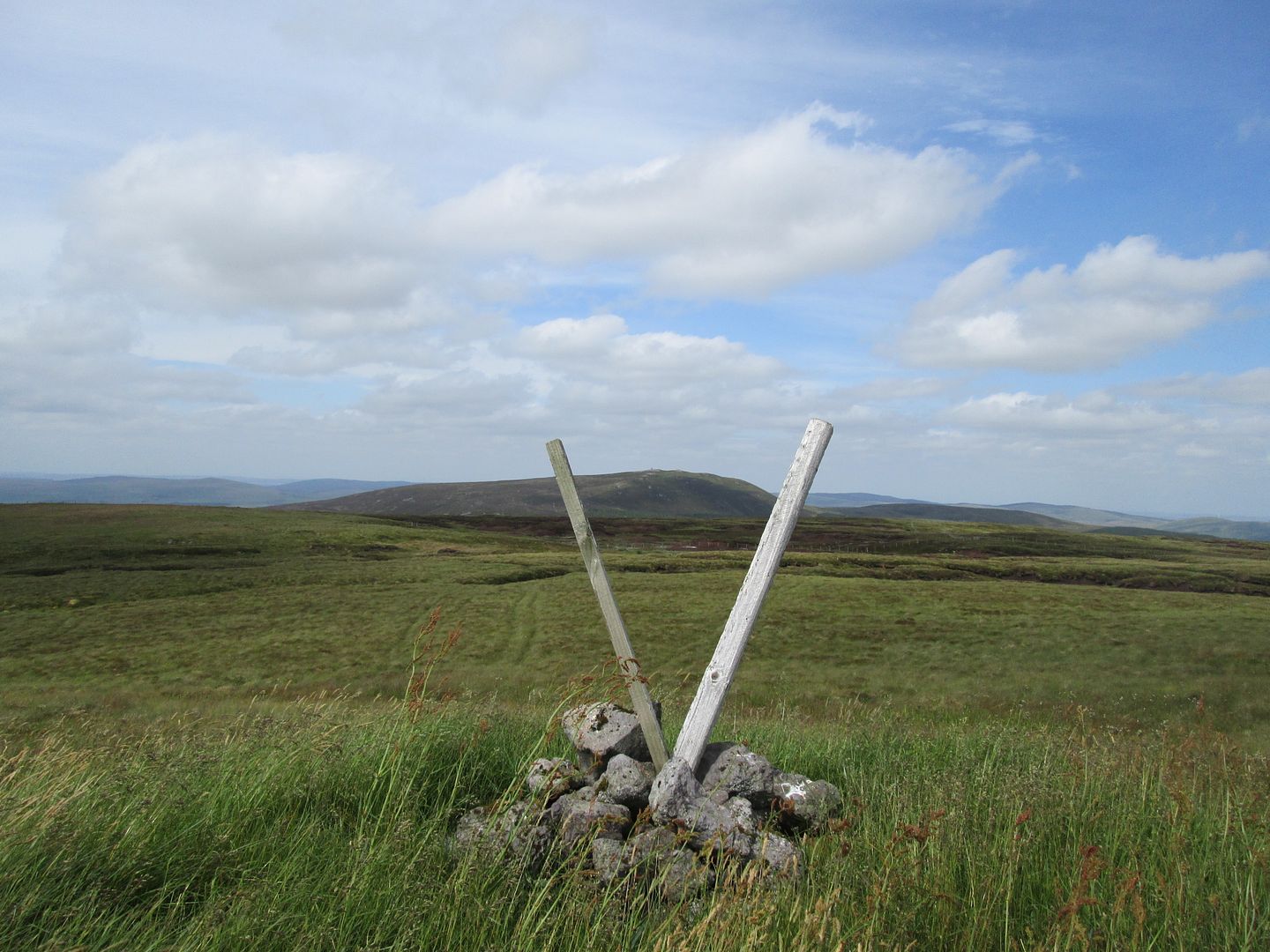 Cairn Table from the summit of Stony Hill
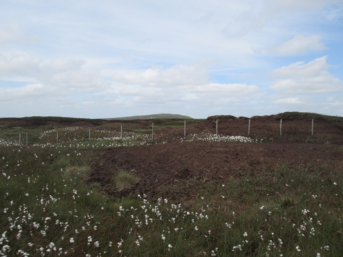 Bog cotton and dried up peat bog
After a brief stop for a bite of lunch on Panbreck Hill, it was onwards up Grindstone Rig, following the edge of the forestry to just below the summit of Cairn Table.
 Lunch on Panbreck Hill
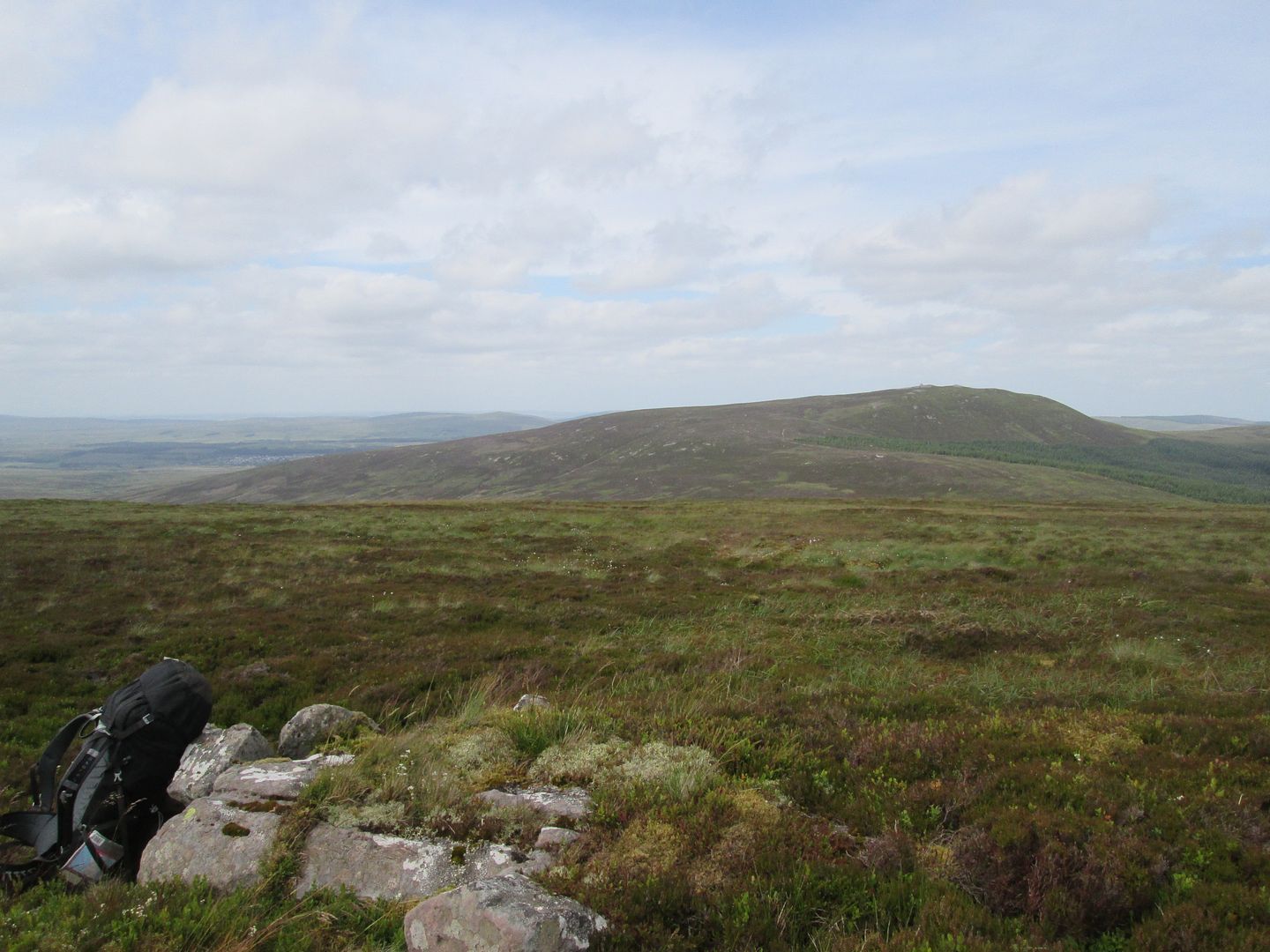 Cairn Table from Panbreck
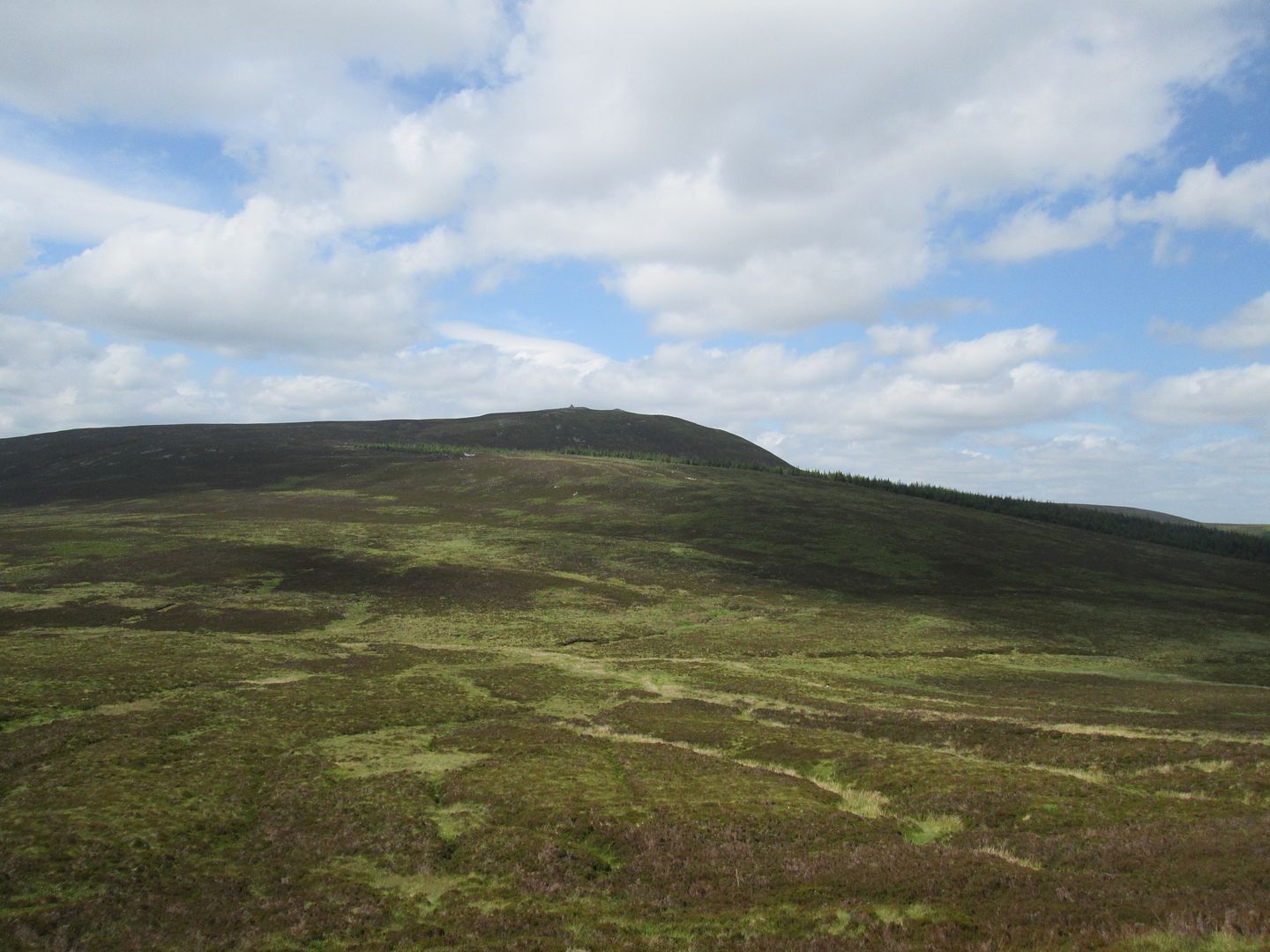 Cairn Table and Grindstone Rig
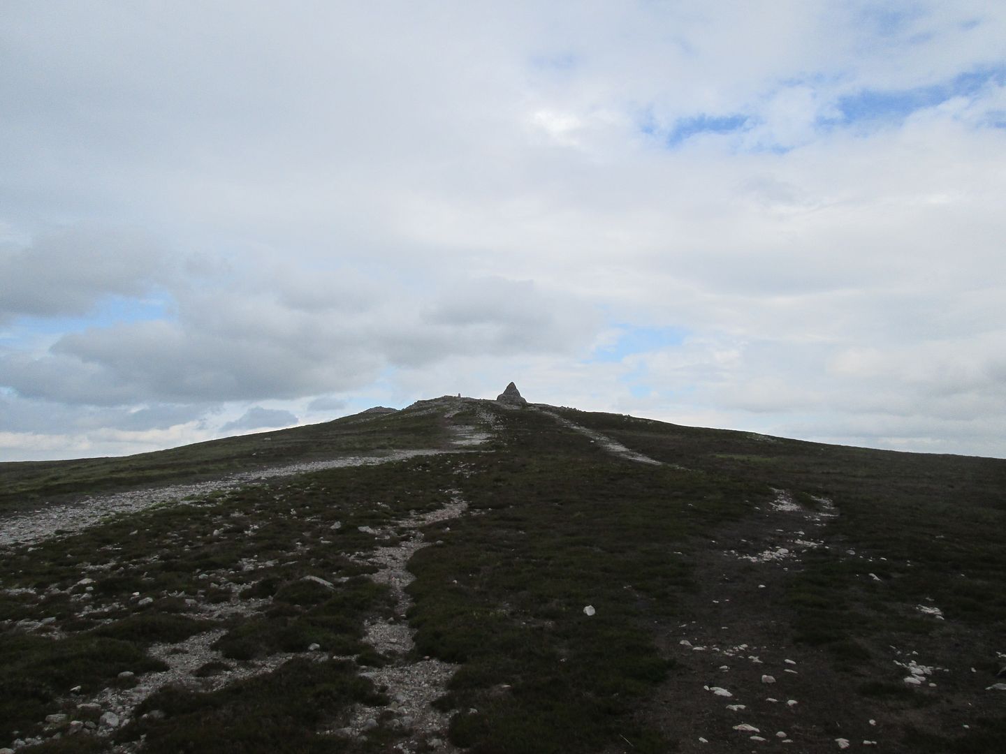
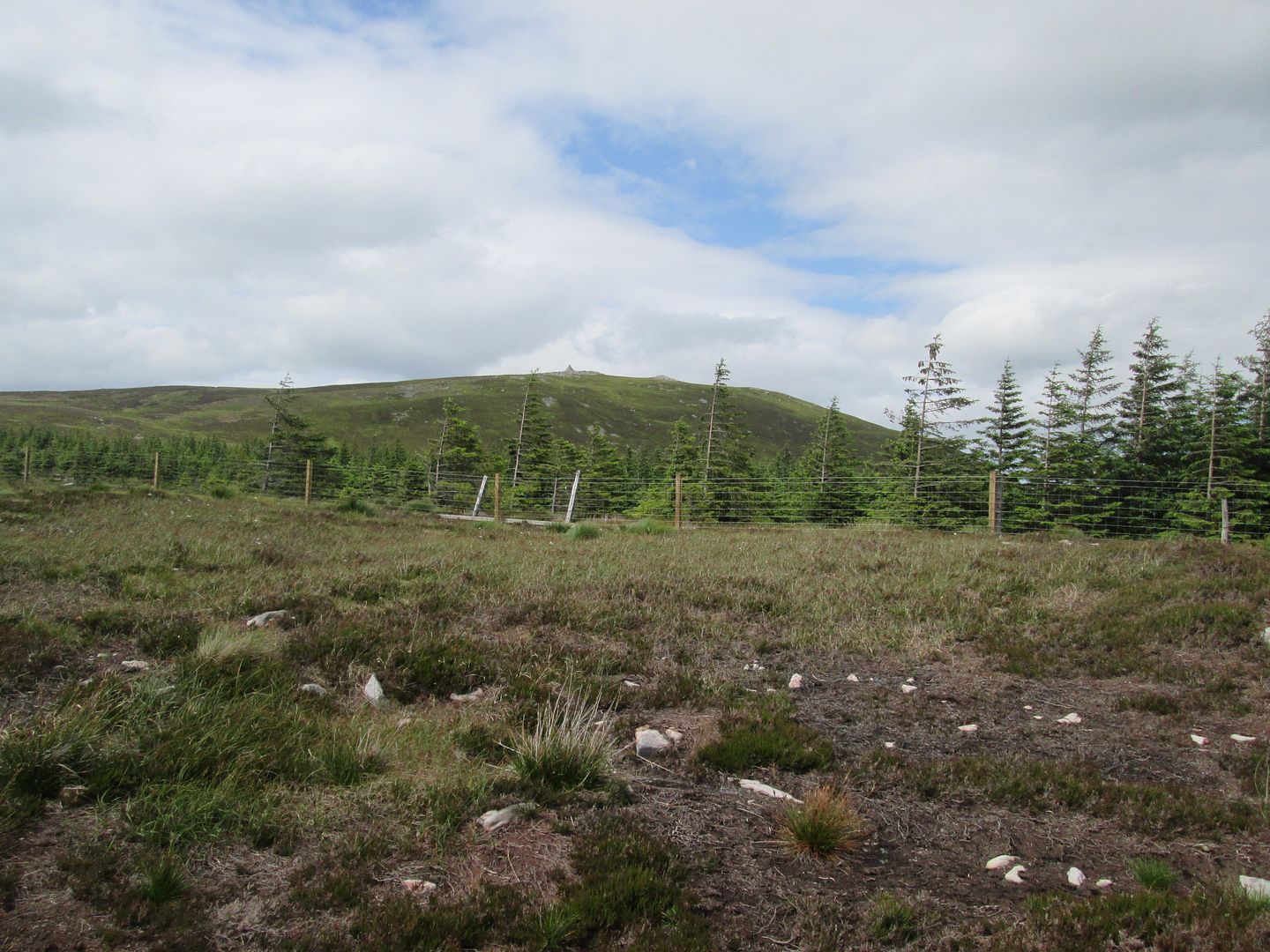 Nearly there
The summit of Cairn Table is a special place. I have been here many times before and remember it being quite busy on occasion. It is a regular venue for locals to bring in the New Year and the vast cairn, surely one of the largest summit cairns in the country, serves as a memorial to the local men who fell in the Great War when my Papa was only a few years old. Today though I had the place mostly to myself for the half hour or so that I loitered there, other than a runner and his dog who appeared quickly and lingered only long enough to touch the trig point and decline my offer of a wine gum before turning and running back down the way he had come. The evidence of Cairn Table's popularity and relative accessibility is all too obvious in the form of litter stuffed into nook and crannies around the summit and I picked up and carried out an assortment of said litter including crisp packets, AAA batteries, plastic bottles and a can of cooking lager (empty before anyone asks!).

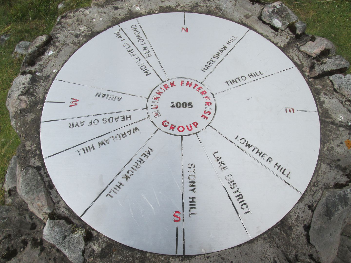 Cairn Table summit view indicator
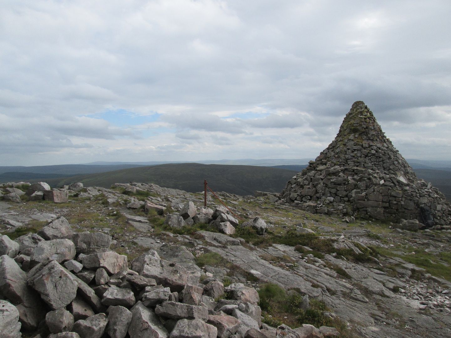 Wardlaw Hill
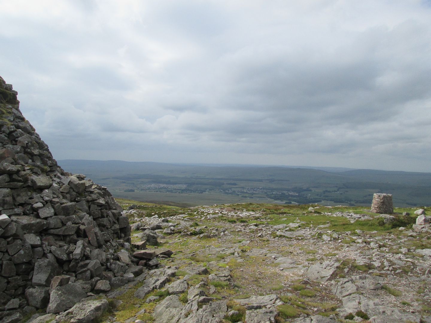 Muirkirk
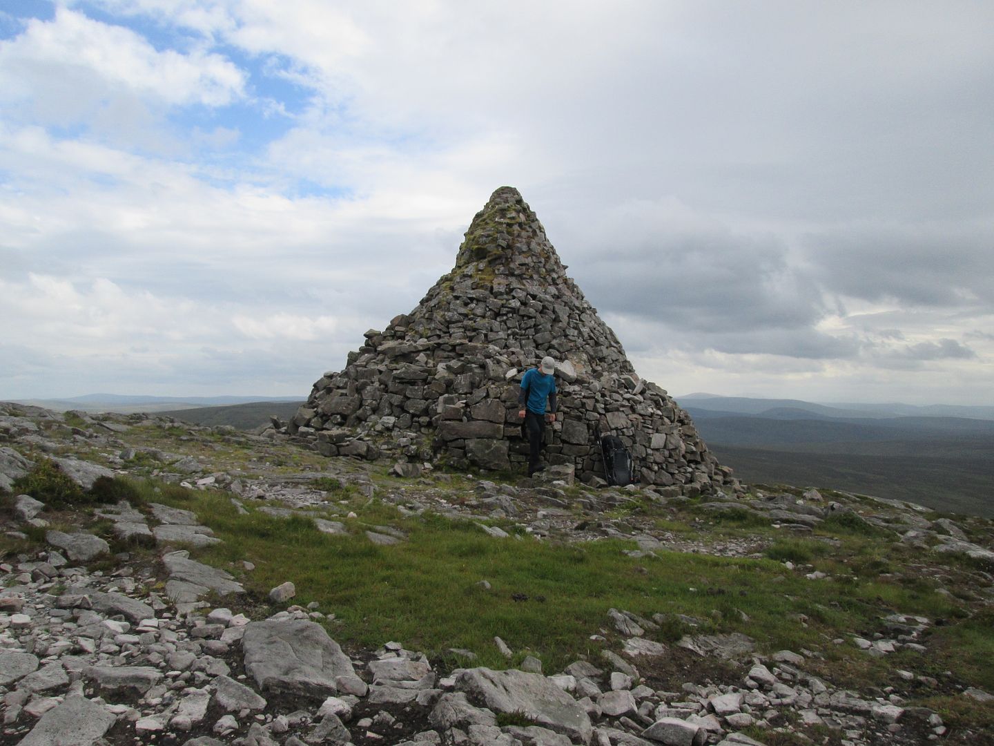 Dwarfed by the cairn
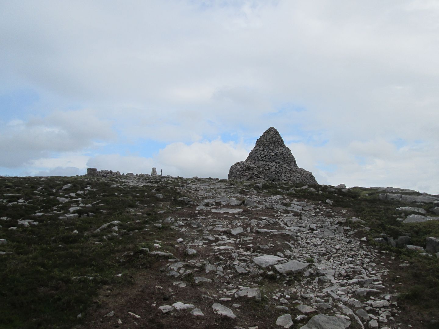 View indicator, trig point and cairn
Eventually it was time to move on and begin my descent back towards Muirkirk and the car. I still had a bit of local "sightseeing" planned for later and would need to find a suitable camping spot for the night before heading out on the town!
I passed a family of four on their way up, the mother and two girls brightly decked out in casual sportswear of bright pinks and yellows. They appered to be making heavy work of negotiating a particularly boggy section and were expressing some concern for their shiny trainers and leggings!
 Start of the descent towards Muirkirk
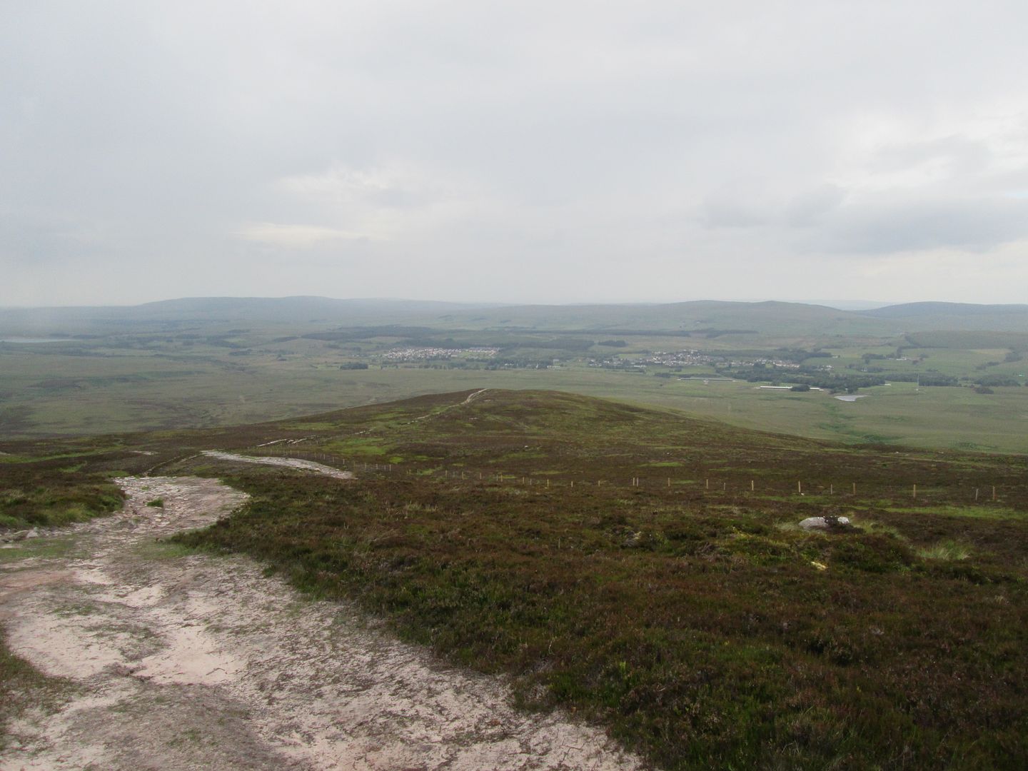 Muirkirk and The Steel
A bit further down, I passed one of the old flooded quarries or mine workings that I used to fish in as a boy. There are several scattered around here where there used to be old mining and extraction operations. I remember two of them being known locally as the Perchy Hole and the Deep Blue Sea.
 Old fishing haunt
Then the noise of the cars on the race track welcomed me back to civilisation and the car, where I pondered how to spend the remainder of the day to maximum effect.
 On the track that was once the old pug line leading back at the car park at Kames. The race track on the right is where the station once stood.
I drove up to the car park opposite the cemetery, at the edge of the little wood known as the Kirk Plantation. I wanted to do a little walk around the village and see if there was a decent place for getting something to eat, otherwise I would be rehydrating a space meal.
I set off on the path through the Kirk Plantation, where my Papa used to walk our dog while she stayed with them in Muirkirk while we were in France on our annual summer holiday. At the bottom end of the wood, the trees open out into an area of shoulder chest grass over which I can see the back of the old house in Wellwood Street. I wanted to try and find the old disused water reservoir in the field that used to serve the nearby houses and in which I used to play, once falling into it and probably only avoiding injury due to the soft landing on a carpet of spongy wet moss on the bottom. Even back in those days it was well grown over and I soon gave up the futile search in the soggy boggy field and moved on.
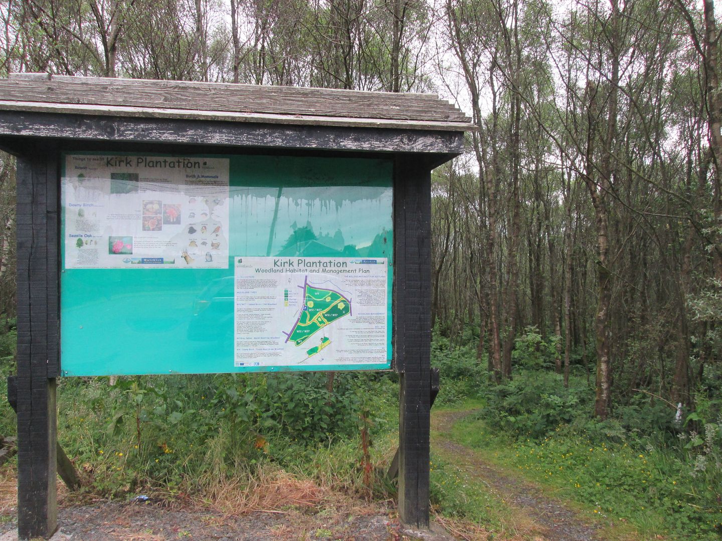 Kirk Plantation
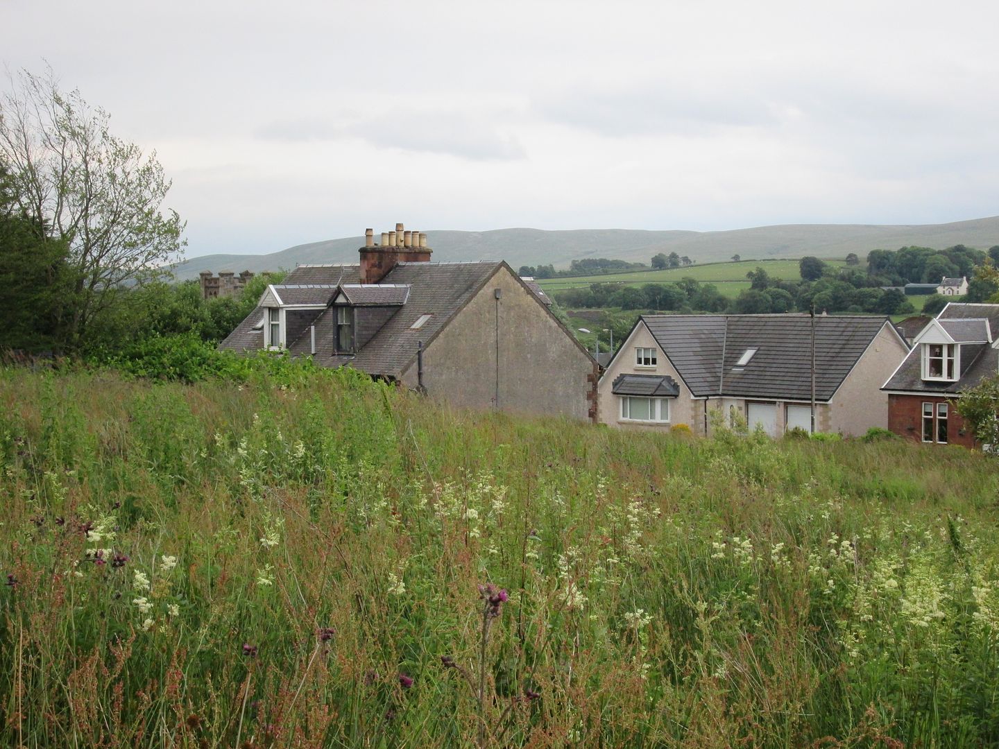 The rear of 75 Wellwood Street (far left) from the bottom edge of the Kirk Plantation
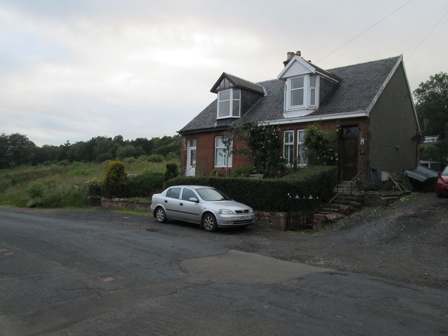 The old house from the front
My tour then took me through Kirk Green and past the church where my Papa was an elder and choir member and where I had attended his remembrance service almost two years previously. From there I headed down to the River Ayr at Crossflats, where I once jumped down the river bank and landed in a wasps nest before sustaining multiple stings from the angry swarm. On the flats of the river are the remains of old railway bridge pillars that were used by soldiers for target practise before going off to serve in the war.
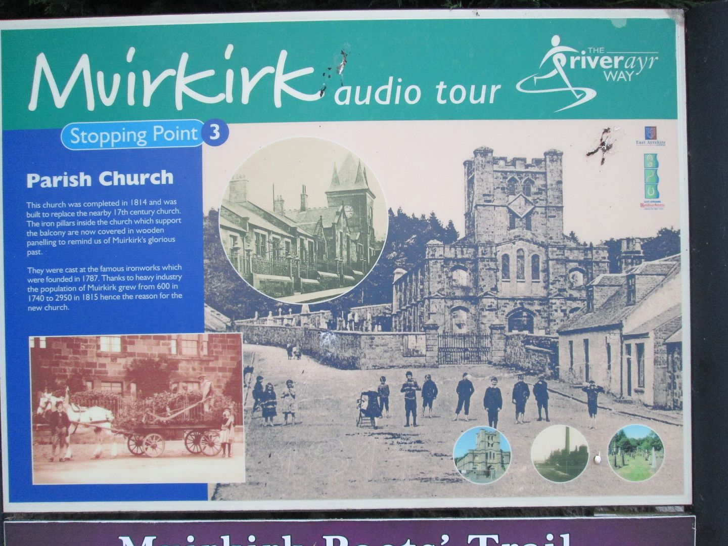 Kirk Green information board
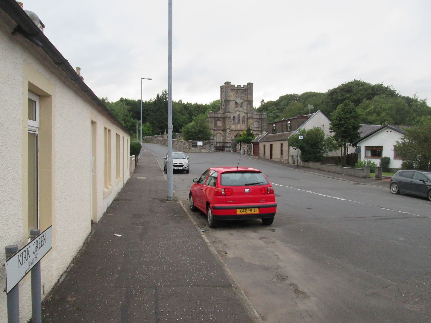 Kirk Green as it is today
I then headed along the almost deserted main street, keeping my eyes open for dinner opportunities. It is fair to say that Muirkirk is unlikely to feature any time soon in a good food guide to Scotland, the best I could find being the Garran Fish Bar (so named after the name of the original settled part of Muirkirk) where I bought a fairly dry and tasteless fish supper that I sat and ate on a bench over the road.
From there I headed into Victoria Park where once (aged only around 4 or 5) I had my photo taken on a see-saw by a photographer from the Cumnock Chronicle who was doing a piece about school children holidaying at home. That photo subsequently appeared on the front page of the Chronicle and the cutting is somewhere in a drawer in my parents house, but could not be found and therefore not included in this report.
 Cairn Table from Victoria Park - no sign of the old see-saw any longer
My final stop on my tour was the Miners Memorial Garden at the corner of Main Street and Glasgow Road, where a memorial lists the names of all the miners killed in the pits of Muirkirk over the years. 1957 and the names of the 17 killed in the great Kames Disaster of that year stand out, including the name of Jimmy Marshall, my great grandfather.
I spent a while looking around the garden and its collection of mining memorabilia, as well as the information notices along one side of the garden which detail different aspects of the areas history and heritage.
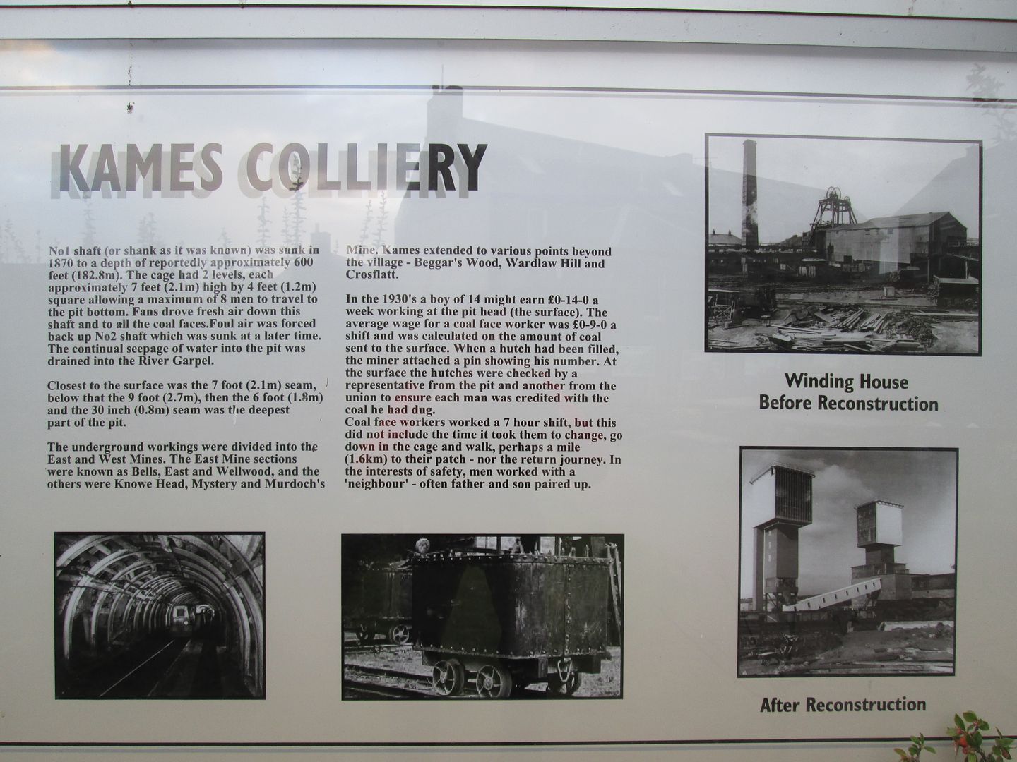 Information board #1 - Kames Colliery
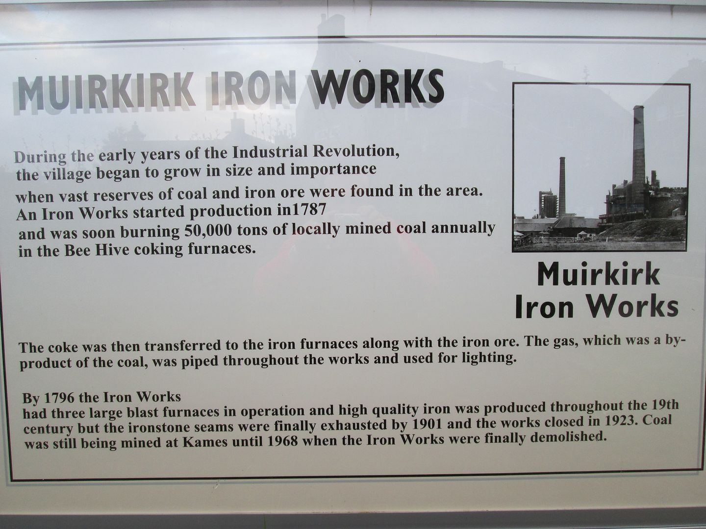 Information board #2 - Muirkirk Ironworks
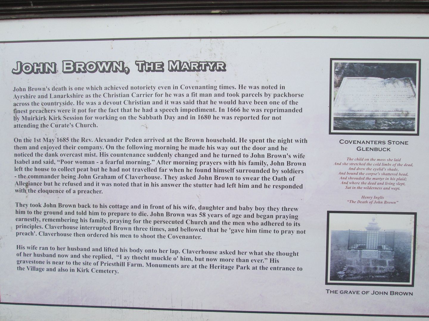 Information board # 3 - John Brown, Covenanter
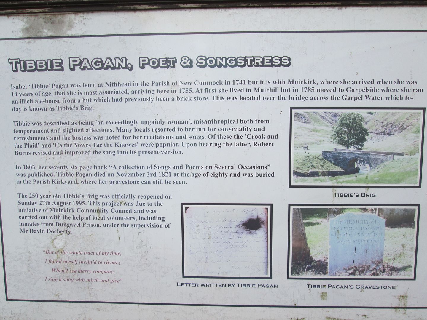 Information board #4 - Tibbie Pagan
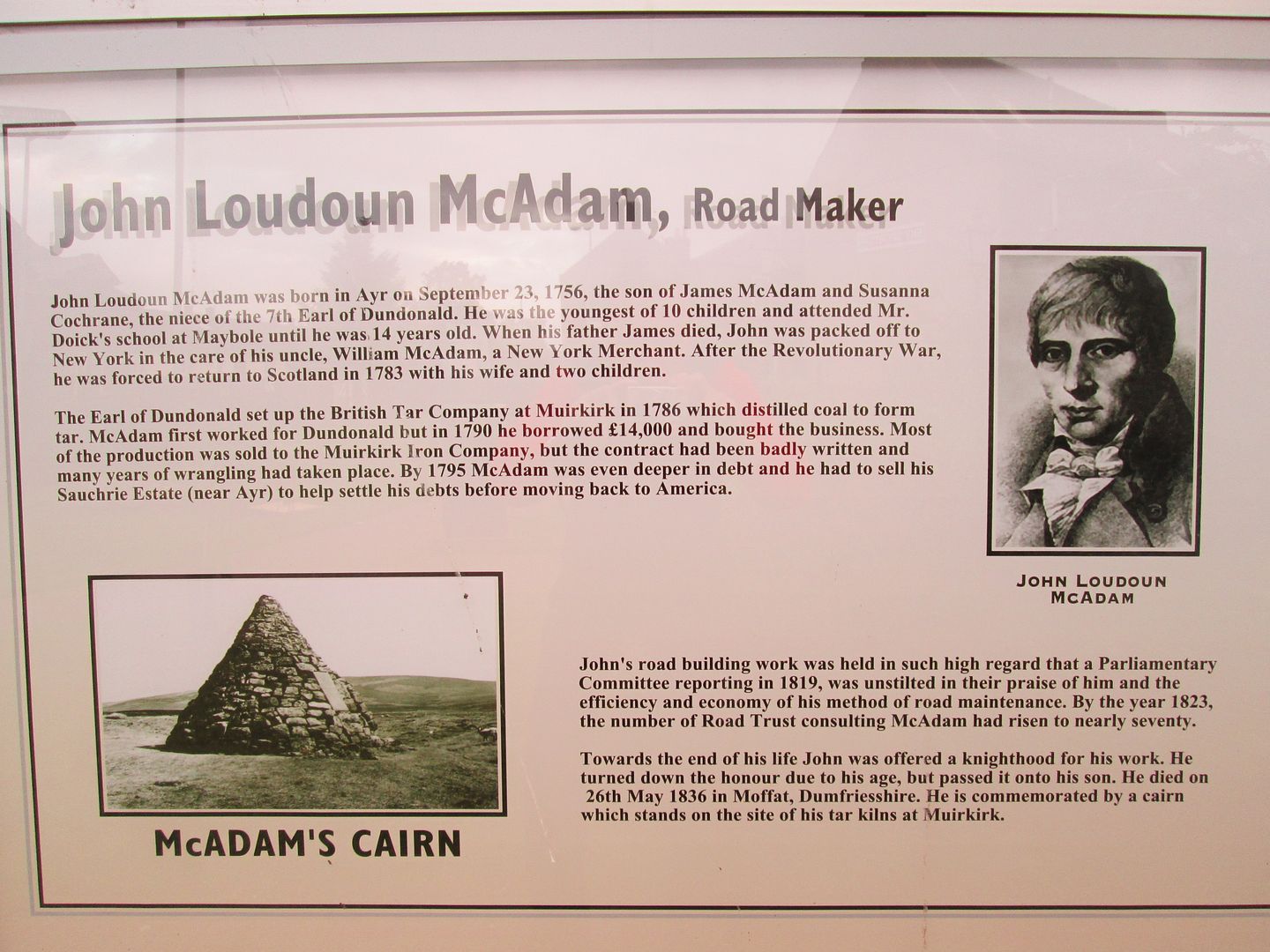 Information board #5 - John Loudon McAdam
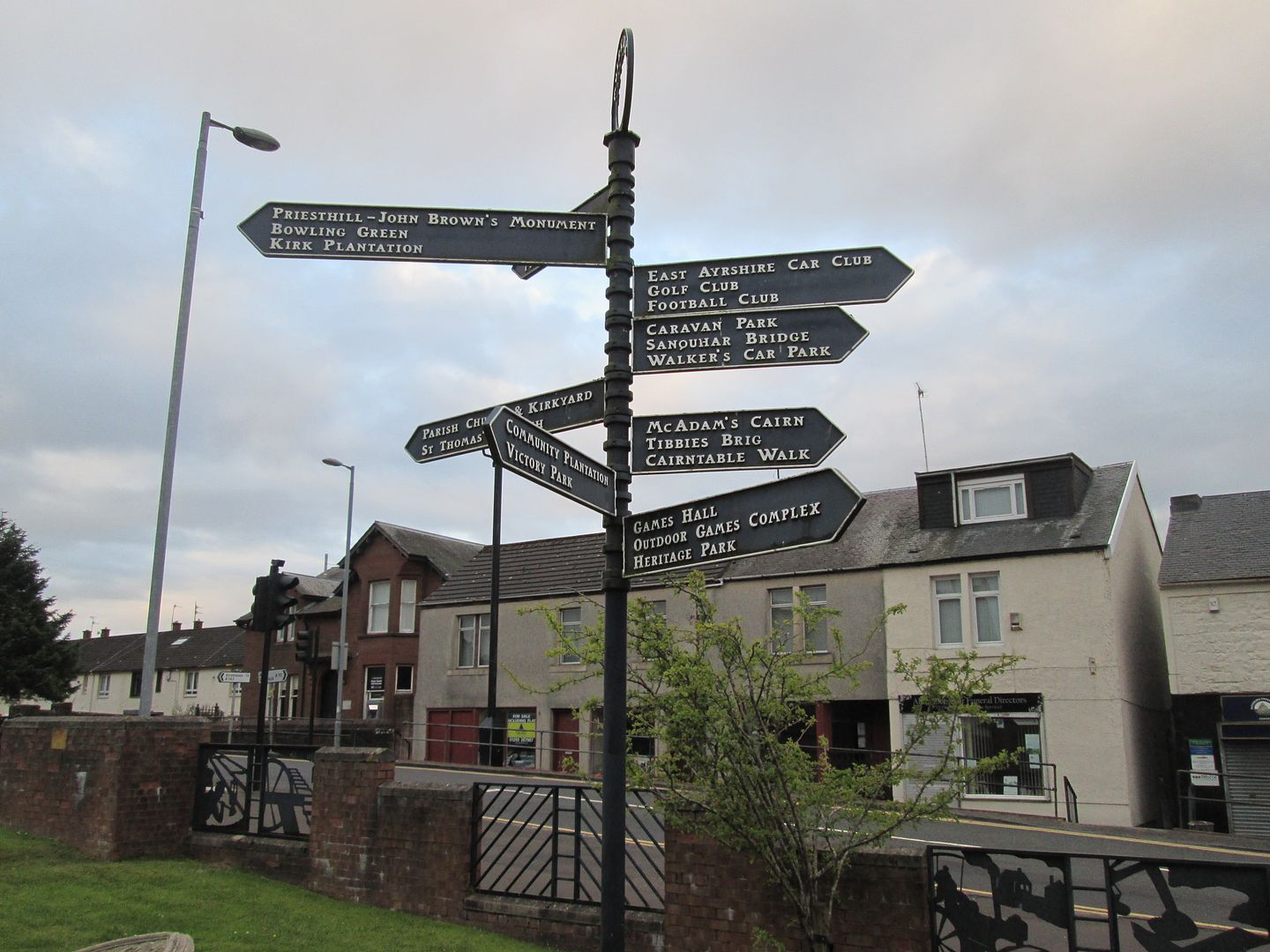 Signposts to the tourist hotspots
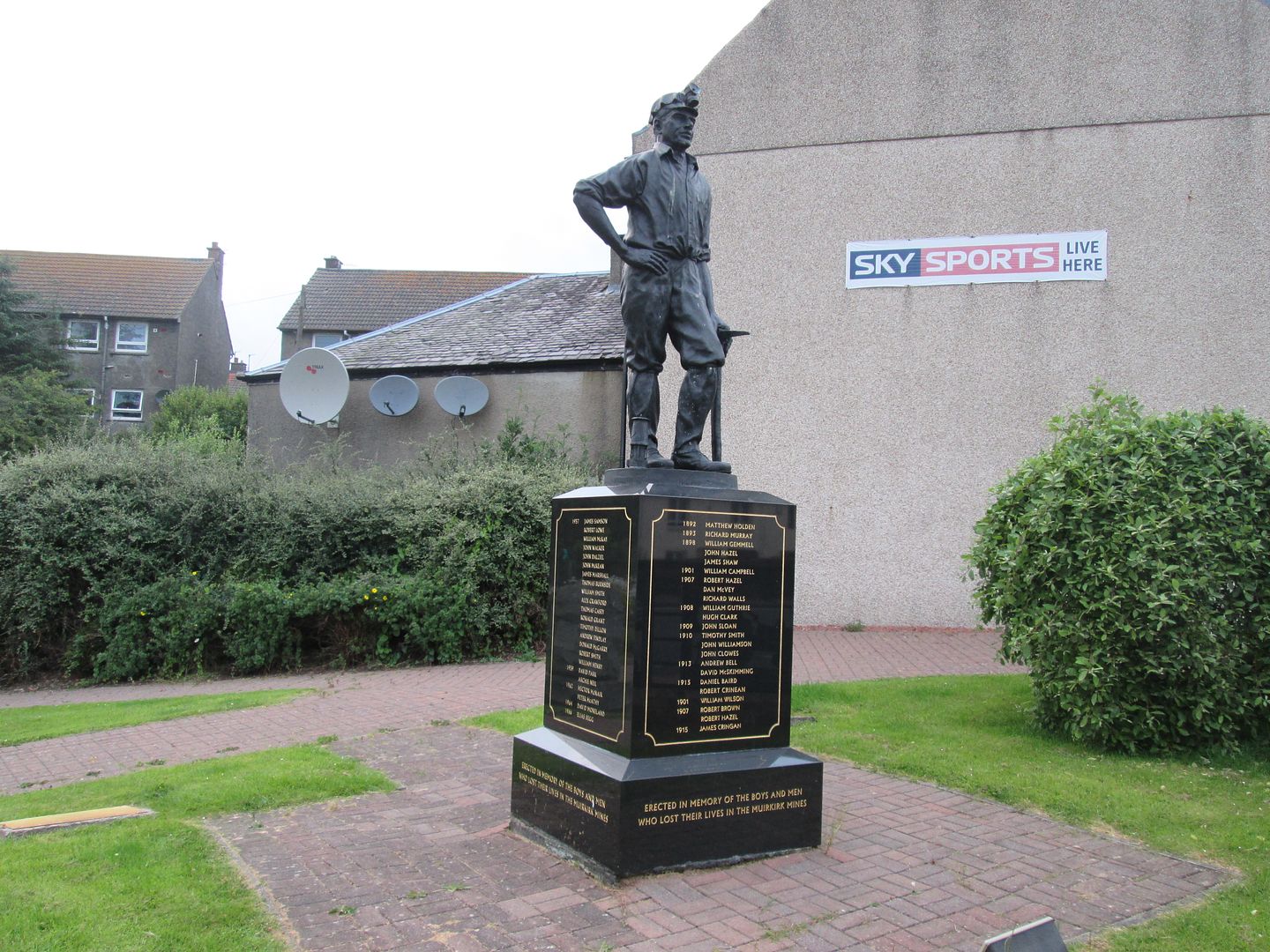 Miners memorial
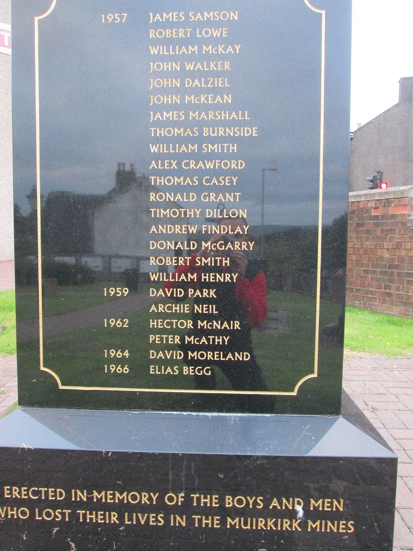 My great grandfather going by his Sunday name
While I was there, an older man came into the garden with his dog and after a minute or two of watching me, asked if I was just visiting the village. Obviously the presence of a stranger had been noted and acted upon! I explained to him who I was and why I was taking such an interest in the memorial. He thought for a moment before telling me that he remembered my grandparents, but as he was not a native of the village, his wife would probably have known them better. At that he bade me farewell and carried on his way.
From there I headed back up Glasgow Road to where I had left the car and found a flat area of grass just inside the Kirk Plantation where I pitched the tent so that it was hidden from the road. Then it was time for a night cap. Only decision was which hostelry to frequent. There were three to choose from - one on Main Street, one at the top of Furnace Road and one right behind the Memorial Garden at the bottom of Glasgow Road. I settled on the latter, the Empire Bar, not because it looked any more appealing than the others, but because it was the closest.
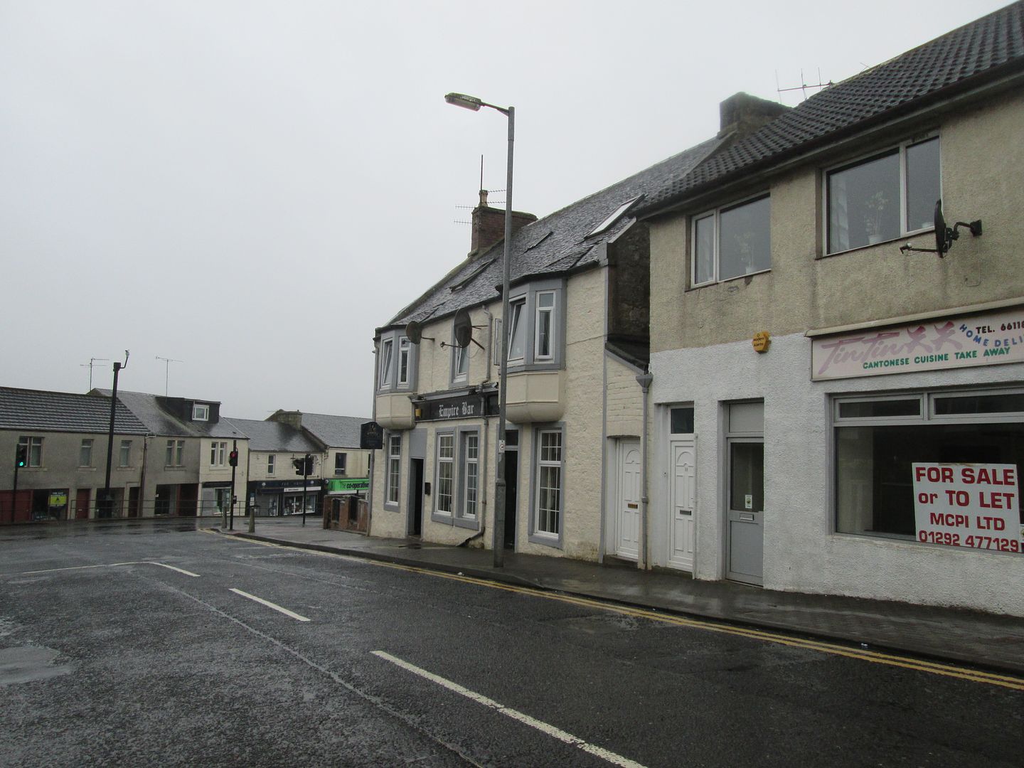 The Empire Bar at the foot of Glasgow Road
Walking into the Empire Bar was like walking into a pantomime in a parallel universe! There was a right old assortment of motley characters in there this Thursday evening! Two dogs lay curled up on the floor but I was unable to establish exactly how inebriated they were. Most of the humans propping up the bar were quite clearly fairly well gone, especially one character by the name of "Boaby" who managed to construct entire dialogues from four letter words beginning with F and C. Eventually he poured himself off his bar stool and made for the door while wondering aloud to himself whether the last bus to Cumnock had already left. "Mind come back tomorrow Boaby - free drink all day!" shouted the barman. "Och F*** off ya f***** c*** ya!" came the replay from Boaby as he fell out the door.
I felt a tap on my shoulder and turned around to see the man from earlier on in the memorial garden. He said he had mentioned me to his wife and she had some stories to tell me. They were sitting over in a corner and invited me over to join them and their wee dog. It turned out that the woman, who had herself been born and bred in Muirkirk, knew my grandparents well and could remember my mum and her sister as far back as when they were wee girls at school. The bloke had himself been a miner for a while and when the local mines went to the wall, they emigrated to South Africa and he found work in mines over there for a while. When they retired and returned to Scotland, they lived temporarily in Dunfermline as they had family there. What a strange coincidence I told them - I grew up in Dunfermline myself. It turns out that they lived in the very next street to where I grew up, albeit a year or two after my parents had left Dunfermline themselves.
We shared a good couple of hours together, me with my pints of Belhaven Best, them with their half pints of Guinness, cans of Irn Bru and assortment of whisky chasers. This was their evening routine - taking the dog for a walk and nipping in for a quick drink on their way home!
It was good to end what had been a memorable 24 hours by sharing time and stories with nice people who knew my family and it certainly put a smile on my face as I walked back up Glasgow Road and past the cemetery to my wee tent in the Kirk Wood.
Tomorrow would be another day and I would hopefully get more walking done around Muirkirk, but for now, I had done most of what I had come to do and I could enjoy my first night's sleep in Muirkirk in over 20 years.
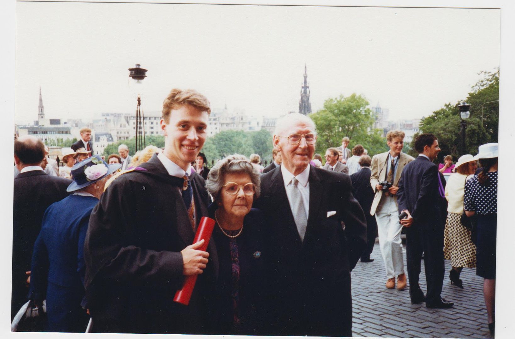 My graduation - 1992
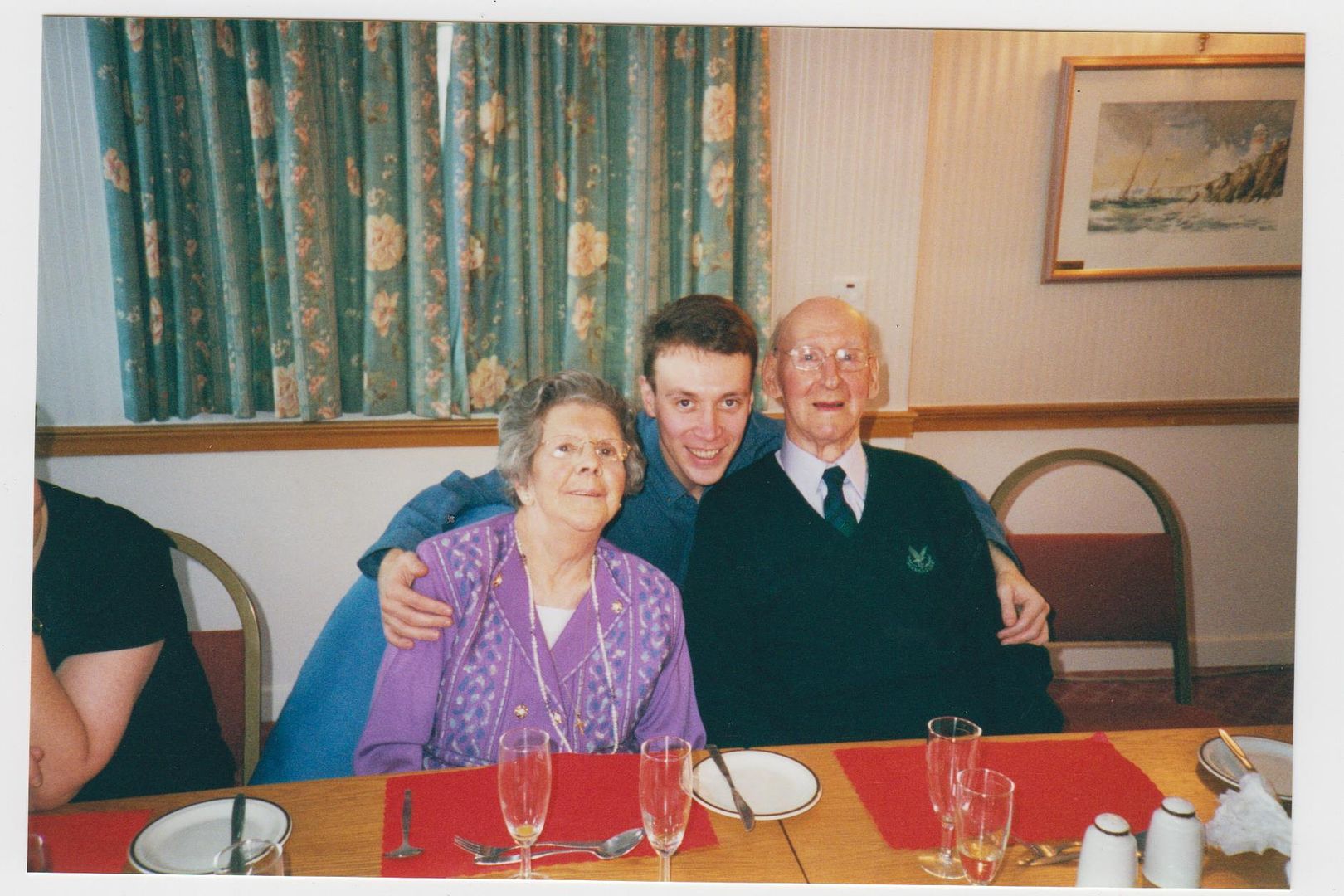 Diamond Wedding -1999
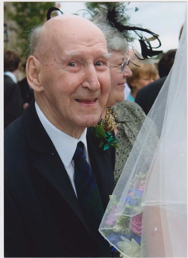 My wedding - 2005
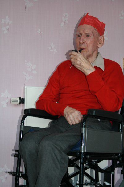 Christmas 2009
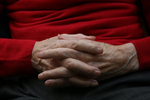 Jimmy Marshall (1914-2012). Enjoy your walk!
