free to be able to rate and comment on reports (as well as access 1:25000 mapping).
During January and February, I’ve been shooting a trailer for a video project on the sources of the Clyde in the Lowther Hills, South Lanarkshire. I’ve been really lucky with nice bright weather, blue skys, powder snow, if a little windy at times (have been flying a quadcopter to do aerial shots). The main part of this walk report - that matches the gpx - was on 1 Feb and I took Mrs T along with me to provide some scale to the aerial shots - err, no I mean, because I thought it would be nice to have some company for a change.
As usual, Walkhighlands for parking advice. Kirkhope Cleuch was the popular choice halfway down the west side of the Daer reservoir, but there was a lot of lying snow, and while the road to the water works at the dam is always kept clear (they seem to have their own plough/gritter), the road off to the right and up the hill to Kirkhope is not. It looked pretty icy up ahead (you could see the sun reflecting off the ice from way back), so we parked at the junction knowing that would be another 5K onto the planned distance, and taking care to point downhill a bit so we weren’t going to get stuck.
Parking there turned out to be a good decision.
No chance of the car getting up thereWe set off about 11am. The walking was a mixture of mainly firm grippy powder and very occasional and sudden sheets of ice where field runoff had frozen plus some deep drifts.
Mrs T has a habit of falling into any drifts or icy boggy bits that are about, but of course It’s my fault - she says I weaken the ice/snow if I'm in front.
 Advanced drift negotiation with Gana Hill (right), Queensberry (left) in the background The hares don't hang around long to get their picture takenEmbossed powder hare prints
The plan was to stop off where the Daer and the Thick Cleuch meet – where Tom Weir ‘took a loup’ over the Clyde on his way to Leadhills, and then head up Shiel Dod, Wedder Law, cross Thick Cleuch Moss and come back down via Gana Hill.
Sitting on the fence where the Daer meets the Thick Cleuch - Tom Weir's vote for Source of the ClydeThe extra 5K at the start made the difference though and I felt it was getting too dark to take the extra time up to Gana Hill, so we returned down the largely frozen Thick Cleuch by moonlight and head torch.
Mrs T providing scale to the Aerial shot over Thick Cleuch Moss  Before GPS, there was the moon
Back to the car about 8pm. Minus 5 and boot laces frozen solid. Not a soul did we meet in the 9 hours. A far cry from a typical Ben Lomond walk.
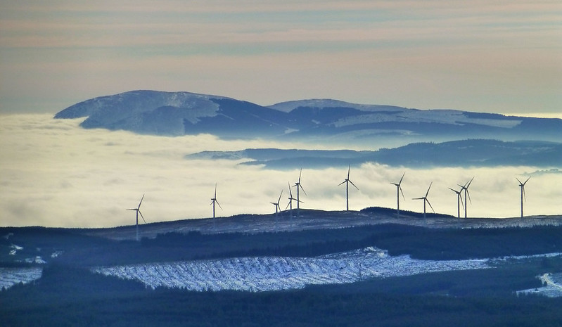
In fact, over the 3 other walks I did over January and February while filming in the area, I didn’t meet a single person. Hares, Buzzards, Grouse, but no people. See below for some more shots from the other walks, two of which started from the Dumfries side of the hills at Garroch Farm near Thornhill.
Glenochar BurnThe Great Divide and Watershed on Gana Hill - To the left of the fence, Lanarkshire, the Gana Burn, and the Clyde. To the right, the Kenriva Burn, Dumfries and Galloway and the Annan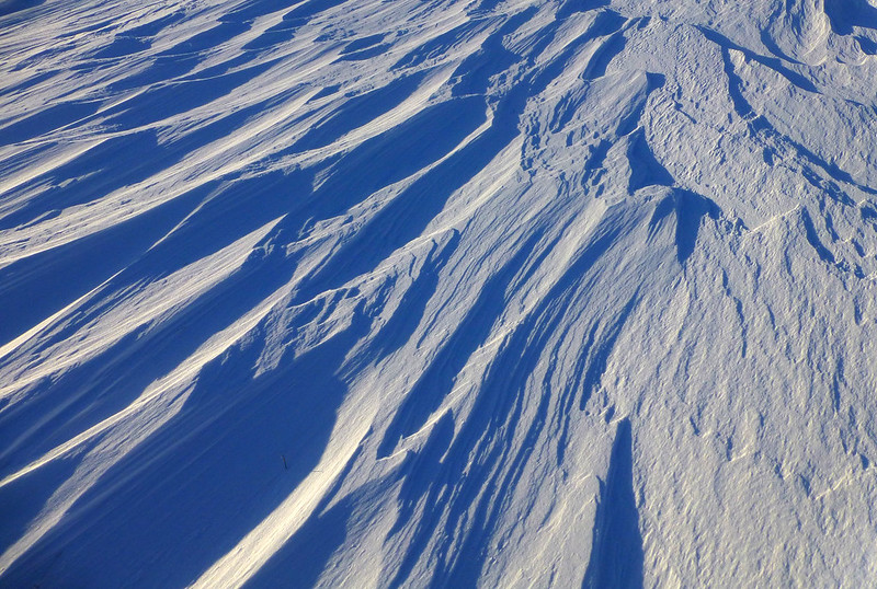 Drifted Snow on Shiel Rig
 by
Sartorial Pictures, on Flickr
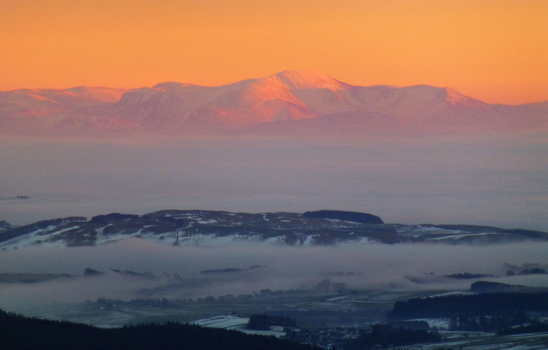
 Criffel
 by
Sartorial Pictures, on Flickr
 Skiddaw in Alpenglow
 by
Sartorial Pictures, on Flickr
And to see the movie with the results of all 4 walks, and some earlier shots around the falls at New Lanark, Google or search Youtube for
Sources of the Clyde Trailer. Wish me luck with the main feature

