free to be able to rate and comment on reports (as well as access 1:25000 mapping).
When an increasingly rare opportunity to get out on the hills presented itself, where better to go after a three month absence than that ever popular pairing of Heasgarnich and Creag Mhor.
In reality, I wanted a short drive and a longer day, and these two were the last of the Southern Highlands I had to do. If you’d asked me 11 hours and 18 ½ miles later, I may have rethought this policy but it was a fabulous day, with astonishing views.
I wanted to reverse the normal circuit to (a) get high early, (b) avoid traipsing across bog at the end of the day and (c) have the Crianlarich hills in front of me along the Heasgarnich summit ridge.
It was lovely day from the start, with only one other car in the Kenknock car park at 9.00am, the lad setting off ten minutes ahead of me.
A quick walk past the farm and up the glen on the private road towards Pubil allowed this view of the last of the morning mist burning off
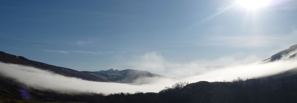
And a lovely hint of the views to come over Glen Lochay to the less commonly seen side of Sgiath Chuil and Meal Glas
It didn’t take too long to reach the bealach, and a faint path of sorts led off east just before the power cables cross the road. However it was largely worthless as a track as it disappeared almost immediately amongst the patchy snow fields which were a feature of the day.
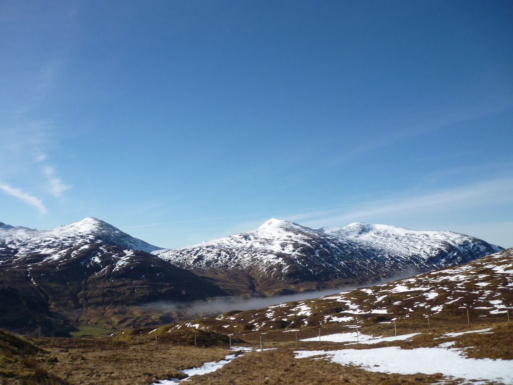
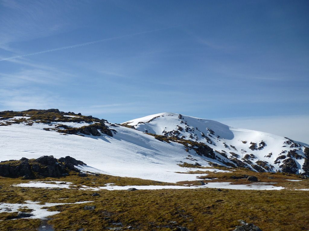
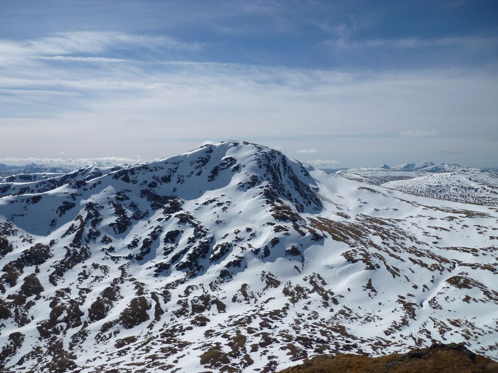
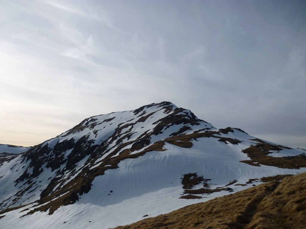
The view across towards Heasgarnich did not look hugely appealing.
It wasn’t too bad, once I’d worked out to go up the north bank of the Allt Tarsuinn where the snow had been melted a bit more. It was still fairly slow going though, partly due to lack of general fitness, but also due to the snow fields being that infuriating mix of load-bearing and less than load-bearing (not a good thing when 18-stone or so proves the existence of the latter variety).
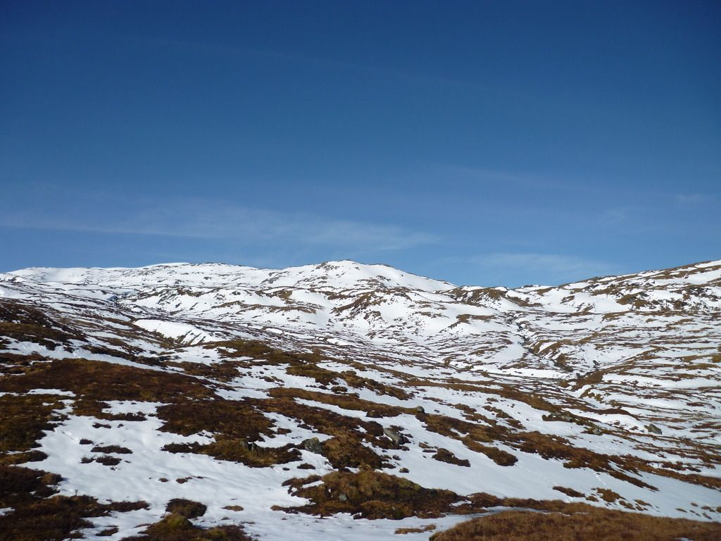
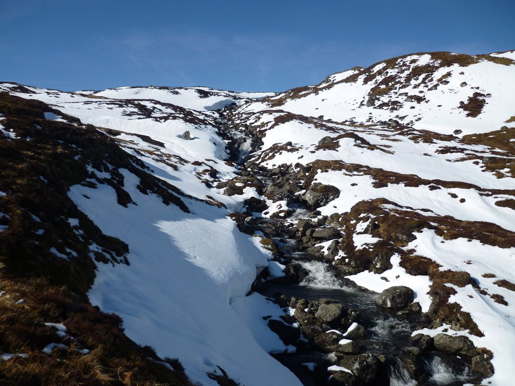
Upper reaches of Allt Tarsuinn
I took a line from the stream that would take me virtually due east to the bealach between Heasgarnich and the top at 949m. I did think though that an interesting route would be up the Creag na h-Achlarich and up from there.
Once on the ridge, it was a straightforward plod up to the summit.
The approach to Heasgarnich won’t rank amongst many peoples most memorable, but on days like this the summit was worth it.
Towards Ben More
Towards Ben Lui
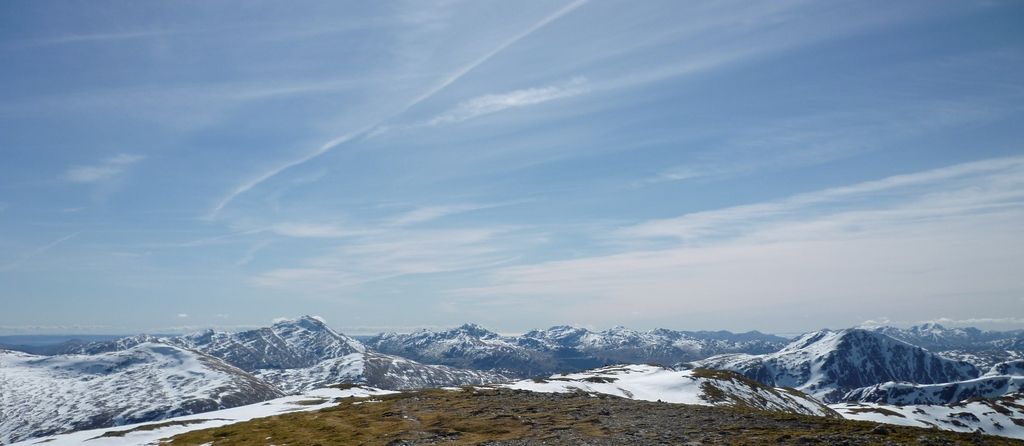
Over Beinn Mhanach to Nevis
Sat, ate and contemplated for a good 20 minutes before reluctantly heading of down towards Stob an Fhir-Bhoga and the drop down to Creag Mhor. It’s a steep descent down the Sron Tairbh, which fortunately was pretty much free of snow. It’d need a lot of care in the white stuff. The view over to Creag Mhor at the start of the descent did have the effect of making you think “aye, right, you’re having a laugh” such was the amount of drop. Getting tired by this point, the realisation of the need to traverse to the north of the direct route up wasn’t filling me with joy, and I was trying to file away a mental route that minimised snow plodding.
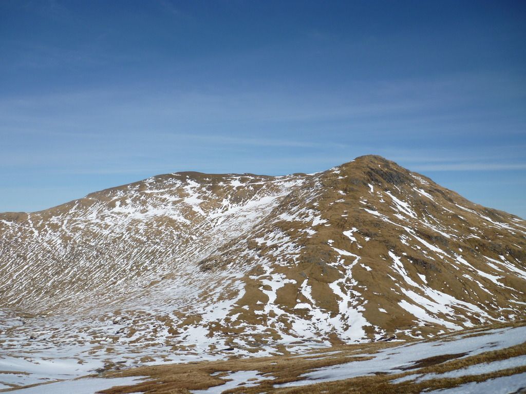
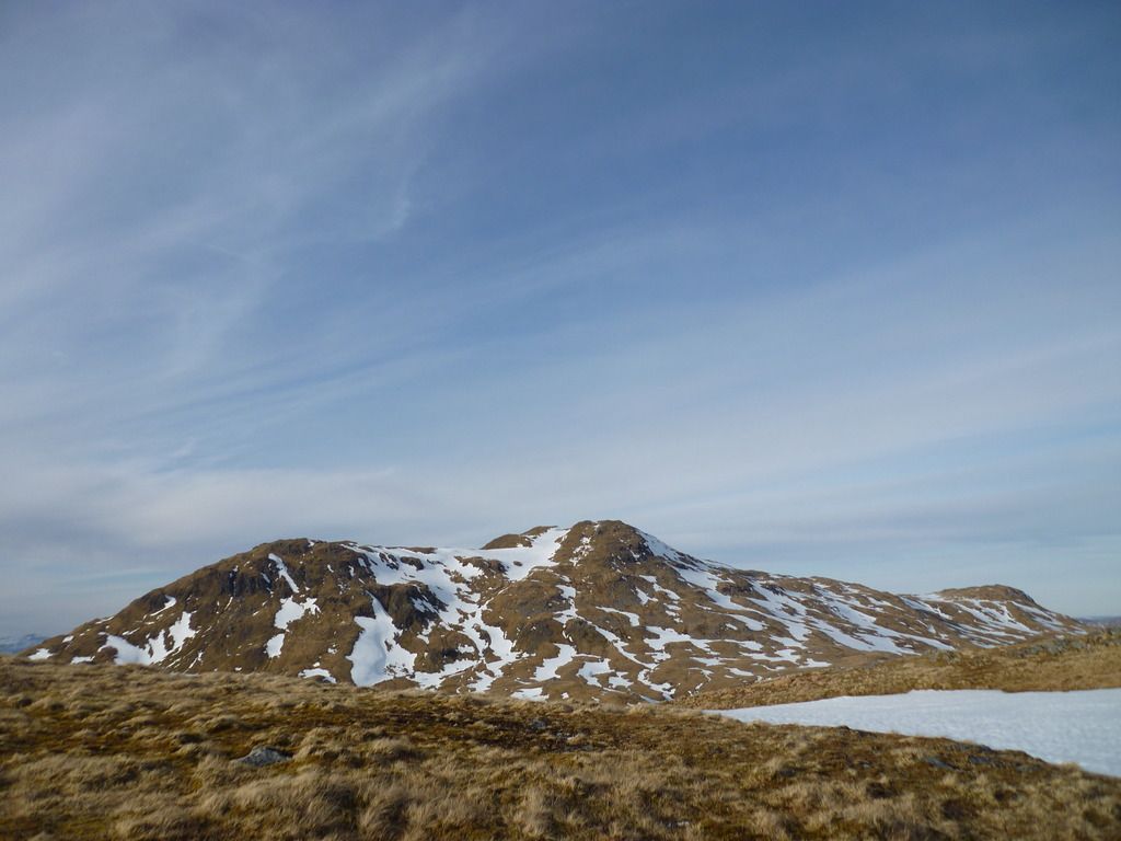
Looking to Creag Mhor from the top of Sron Tairbh
Half way down I passed the guy who’d left the car park just before me, and we had a quick chat – he warned me that the route off Creag Mhor would be tricky due to the snow, as it was a pain to climb up!
It was a slow plod going up, energy levels were low and I didn’t fancy cramming many more midget gems in, so it was just a case of heid doon and get on wi’ it.
Looking back from halfway up
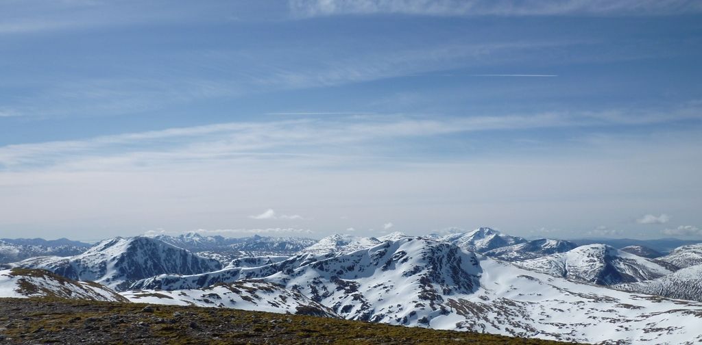
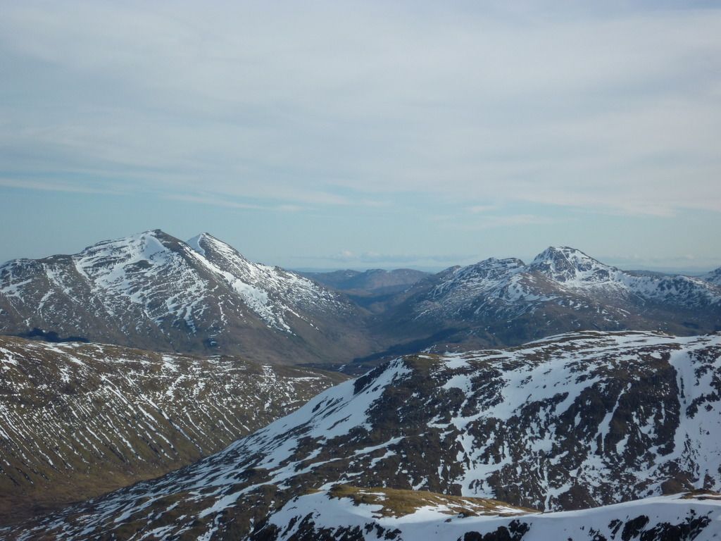
The summit was eventually reached, and if anything the views were even better than from on Heasgarnich, although I was too pre-occupied with brewing up a coffee and refuelling with a fine cheese and jam sandwich to take enough photos. This is a nice one over to Ben More Stob Binnien and Cruach Ardrain
The walk down towards Sron nan Eun was pleasant, although I’m guessing on the way up there would be a lot of false tops that would sap morale.
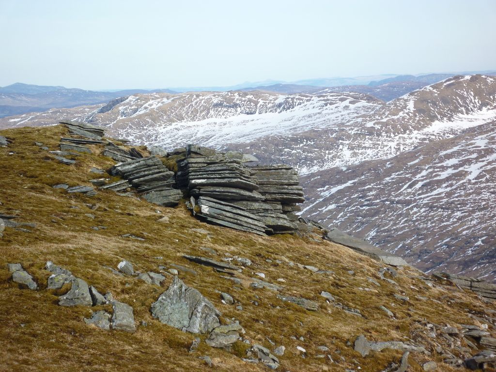
Interesting rocks coming off the top of Creag Mhor
Looking back up to Creag Mhor from Sron nan Eun
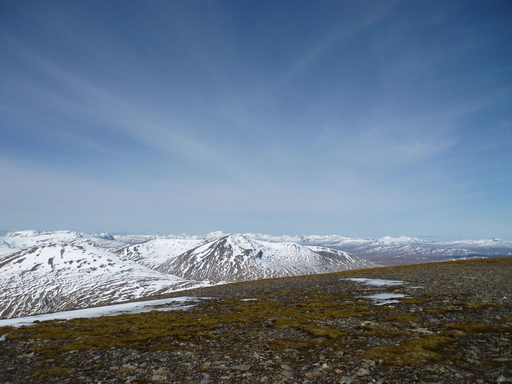
Looking over to Heasgarnich from Sron nan Eun
There is a lot of planting work going on to the South East of the Allt Bad a’Mhaim with what looked like a pretty new fence erected blocking easy access down to the dam. I was fortunate found a massive snow field to lope down for a few hundred feet which took me north of the crags, which looked pretty challenging, and was able to cross the fence due to part of it being collapsed under snow, otherwise it’d be a big one to climb.
I opted to take the lower road back to the carpark – in retrospect the upper one would have been faster, and whilst it is a bonny glen, the 3.5 miles of it at the end of a long day could have been shortened a bit and I wouldn’t have complained, especially as it was getting dark and these two have no mobile phone reception from start to finish.
These hills make a for a big day – the GPS reckoned it was 18.5 miles compared to the suggested 15 – I’m assuming the amount of zigging and zagging to avoid the snow added the extra miles - but they are rewarding mountains on a day like this for the views.
