free to be able to rate and comment on reports (as well as access 1:25000 mapping).
A mixed forecast for the weekend and a highish looking avalanche risk made me curtail plans for Kintail and an exciting route on The Saddle for something more pedestrian. Driving back from Cannich last weekend i'd noticed 2 Corbetts sitting on the eastern shores of Loch Ness - both accessed by windfarm tracks, neither looking like they'd cause much of a snow and ice problem. So that was the weekend sorted - camp at Fort Augustus and do Carn na Saobhaidhe on Saturday, Carn a'Chuilinn on the Sunday. Thrilling

The drive up was rather slow - lot of traffic on the roads with this being Easter weekend and we arrived in Cumberland's Campsite about 7.30 - still plenty light to pitch and have tea outside.
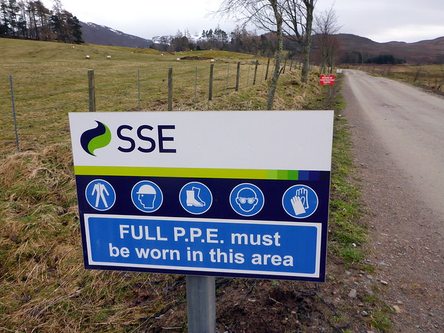
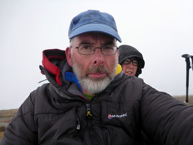
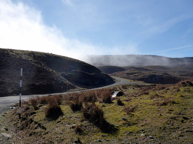
Saturday morning was cloudy and cold - no sense of Spring being in the air yet. Got away about 8am and drove the 20 miles along to Dunmaglass - a road that infuriatingly alternated between double track then single track for all of its length. Parked at the phone box and got ready to walk. It was really chilly - gloves and several layers required - Allison in some trouble as her water bladder had leaked all over her rucksack contents. Passing an imposing pair of gateposts topped by fishing eagles, the track is littered with a variety of safety signs for the windfarm folk. The wide track stretches off into the distance, large boulders spaced along its outer edge. We walk up the steepish incline on new track not shown on the map, alongside Beinn Mheadhoin and manage to miss the turn off on the right alongside the Allt Uisg an t-Sidhean, heading up the main track instead. We notice that we are heading too far off course and have to drop down into the coire to the bridge. Allison finds a 6-pointer antler, so it has not all been in vain. Up the hill towards Meall a Bhuailt, having to check we are on the right path as there are so many tracks going off here and there to the turbines I guess. Some hares sit and watch us, with one particularly inquisitive fellow running stop-start right up to us, sniffing the air then racing past.
Parking spot
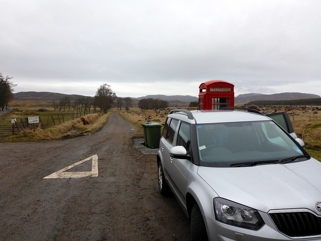 P1060746
 by
23weasels, on Flickr
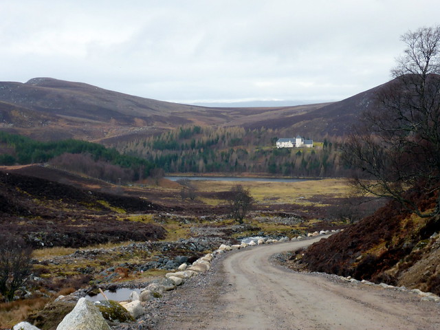
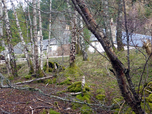
Lodge
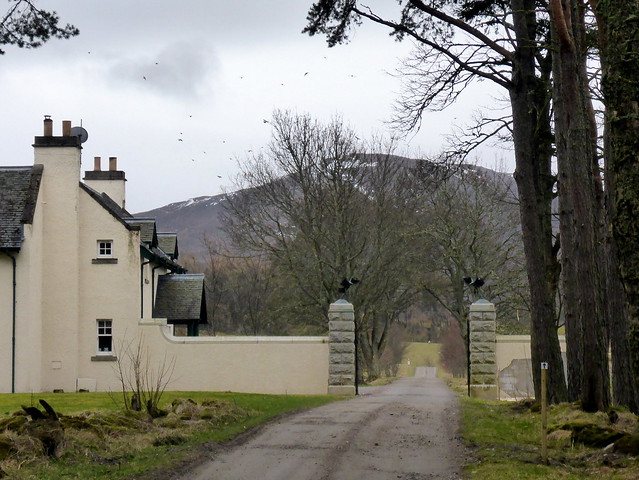 P1060747
 by
23weasels, on Flickr
Oops - left mine in the car...
 P1060749
 by
23weasels, on Flickr
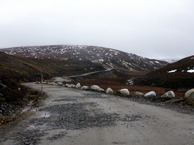
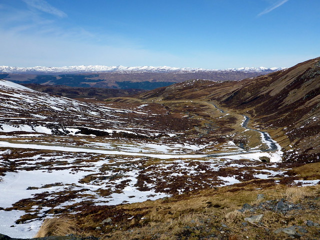
The track
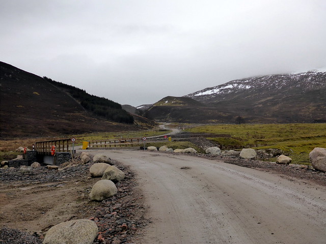 P1060750
 by
23weasels, on Flickr
Looking back
 P1060751
 by
23weasels, on Flickr
The track...
 P1060752
 by
23weasels, on Flickr
We should be on that path

 P1060753
 by
23weasels, on Flickr
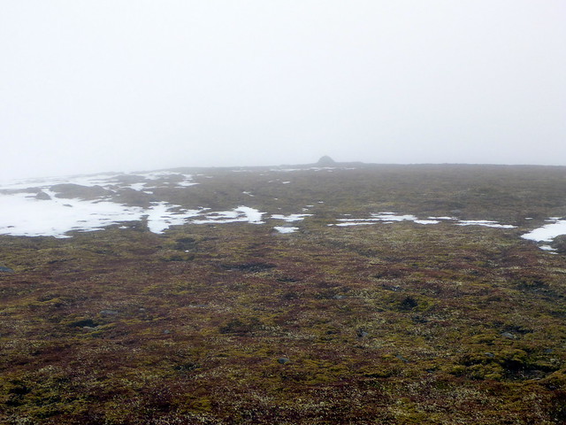
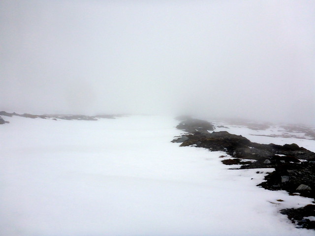
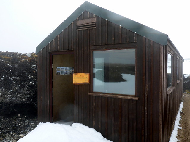
The track then plays tig with the Aberchalder burn, crossing and re-crossing the waterway. We find a way across only to have to re-cross (actually you can just skirt round to the east side of the track and miss the loops and crossings). We're on the west side by this time and I decide that rather than cross the burn again we'll just head up the flank of Beinn Bhuraich and take a more direct route to the summit. I imagine that this will take about half an hour - it's only 2km - but oh my god it goes on for ever - over half frozen bog/peat hags and deepish snow. Visibility is crap and there's no sign of where we're meant to be going, no sense of uphillness. Finally we come to a snow clad slope that must mark the final approach to the summit of Saobhaidhe. The summit, like the walk so far is underwhelming and we slump down for a grumpy lunch with as much view as you'd get if you shoved your head in a wet pillow case. We decide to take the track back down - surely that will be easier. Well it would have been if the track wasn't buried under 2-3 feet of soft snow, making progress just as laborious as on the ascent. We pass a newly constructed hut for shooting parties, with its door wedged open and a swoosh of snow inside. On we do, down the "track" til we get to the spot we left it - after that there's a sense of getting somewhere and progress picks up. Three red kites keep us entertained with stooping and diving antics, chasing after the snow bunnies we'd seen earier on. Further down the air was alive with the strange electronic warbling of lapwings. The sun threatened to come out and the day improved marginally. Not one of my favourite hills, but then we didn't do it in the best conditions for views etc.
Way up to Beinn Bhuirach
 P1060755
 by
23weasels, on Flickr
Summit - woo hoo!!
 P1060756
 by
23weasels, on Flickr
Very impressed so far...not
 P1060758
 by
23weasels, on Flickr
The "track"
 P1060759
 by
23weasels, on Flickr
Golden Jubilee Hut
 P1060760
 by
23weasels, on Flickr
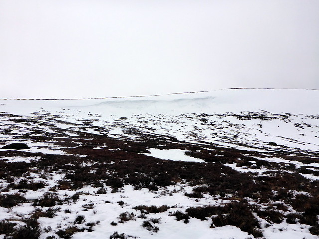
Some thick snow in places
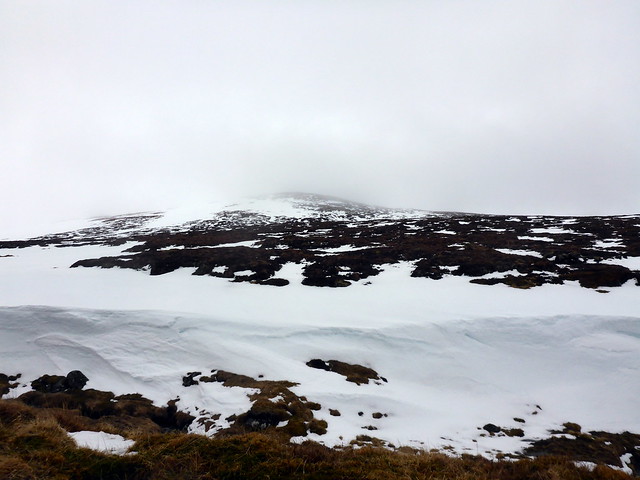 P1060762
 by
23weasels, on Flickr
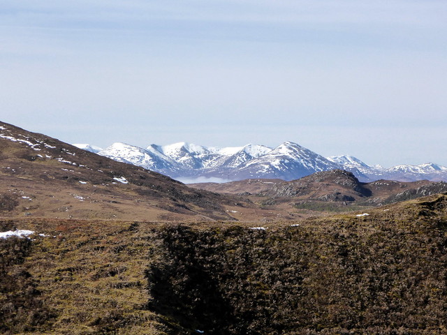
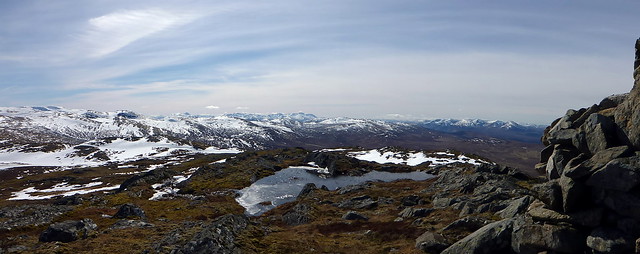
Low cloud cover
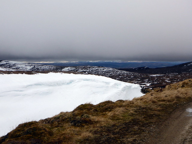 P1060763
 by
23weasels, on Flickr
Red Kite
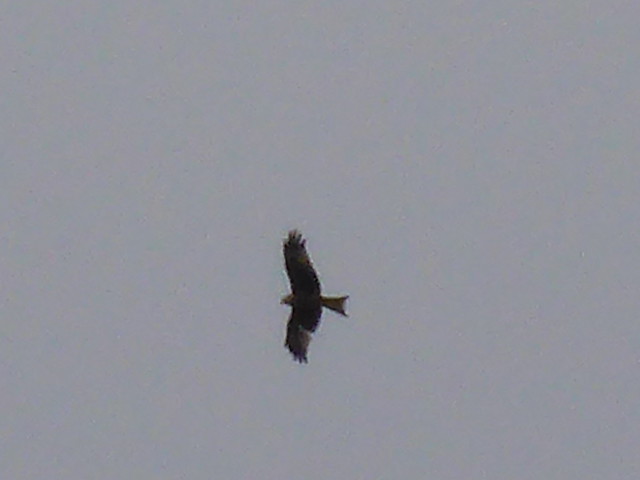 P1060765
 by
23weasels, on Flickr
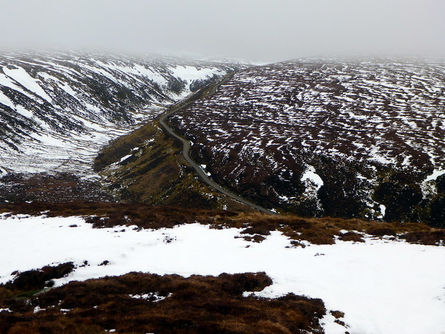
The way back
 P1060767
 by
23weasels, on Flickr
Stats
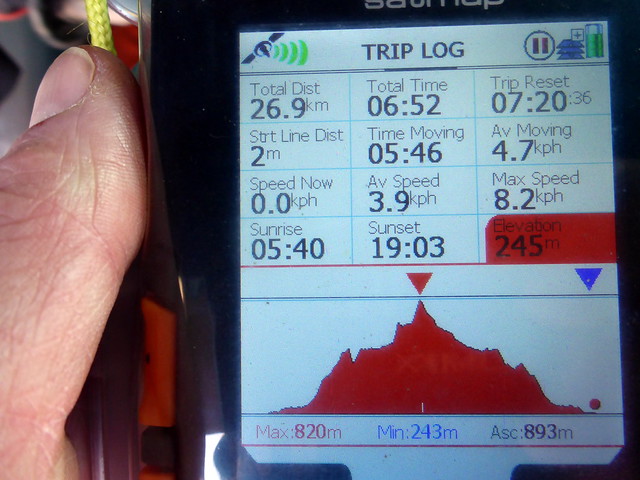 P1060770
 by
23weasels, on Flickr
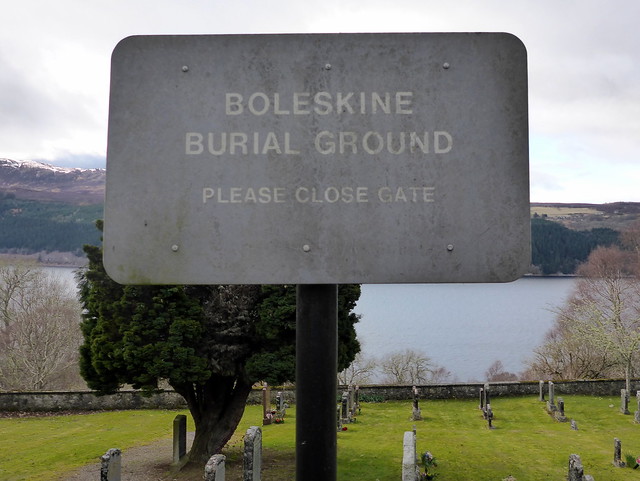
On the drive back I decided to take the road from Inverfarigaig to Foyers, passing Boleskine House, once home to Aleister Crowley. I'd never been this way before and imagined it as an impenetrably remote location, but it's not, just on the roadside albeit with signs up saying Tresspassers will be demonically possessed

Things I didn't know about Crowley - he was a keen and able mountaineer who regularly took summer hols in the Alps to go climbing and led an expedition to Kangchenjunga and a member of the Scottish Mountaineering Club
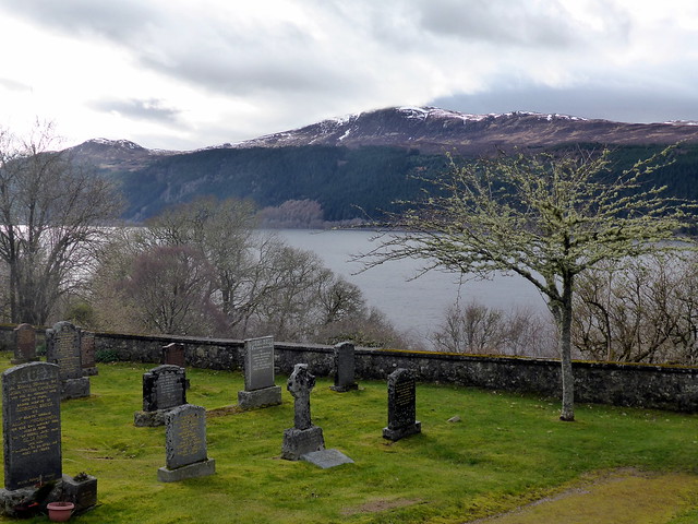
http://footlesscrow.blogspot.co.uk/2011/01/brief-mountaineering-career-of-aleister.html Anyway, we paid a visit to Boleskine Burial Ground on the other side of the road enjoying the views along Loch Ness and some old gravestones. We called in at the pleasant little pub in Whitebridge for a pint of Happy Chappie before heading back to Ft Augustus for some food and a wander into the town in the late evening sunshine.
Boleskine House
 P1060771
 by
23weasels, on Flickr
 P1060772
 by
23weasels, on Flickr
 P1060775
 by
23weasels, on Flickr
 P1060774
 by
23weasels, on Flickr
Ft Augustus
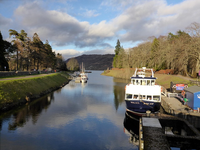 P1060777
 by
23weasels, on Flickr
Campsite
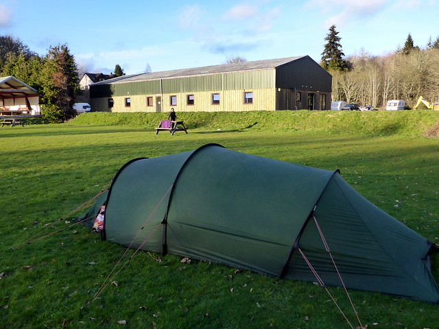 P1060778
 by
23weasels, on Flickr
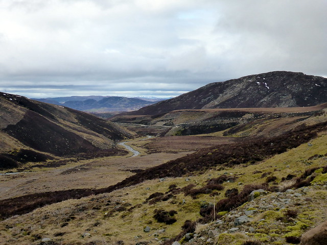
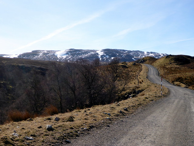
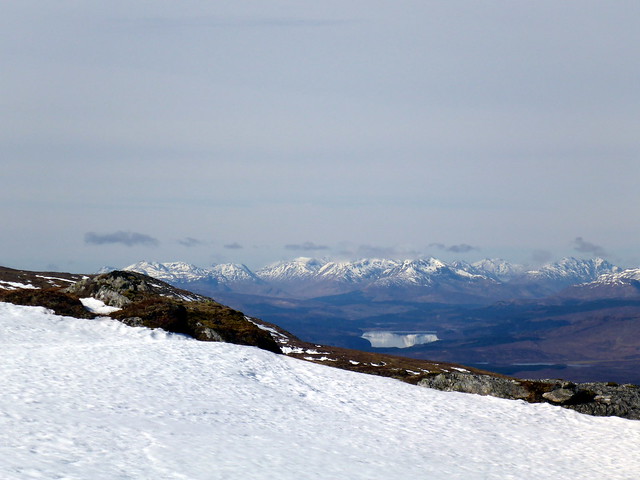
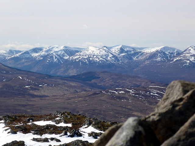
Sunday brought a warmer morning, low cloud down but looked like it would burn off quickly enough. We drove the couple of miles to the parking spot (note - you would be better driving up the hill and parking at the gates of the power station where there's room for 2-3 cars without obstruction). The WH route appears to use the road - we took the old military road through the gate, which meant we were on the wrong side of a plantation fence for a wee while. Regained the track and set off at a goodish pace, clouds being burned away all around leaving a dazzling blue sky. The Loch Quoich Munros looked devine as we gained height then sudddenly the whole skyline was awash with white topped peaks - Kintail, Affric and Cannich hills circling us - I hadn't expected such a wonderful viewing platform today! We'd decided to follow the track further round than the WH route, using this to gain the final bit of height as well as taking in some extra tops - it was a nice day after all. Snow bunnies gambolled in the sunshine, frogs croaked, the snow covered more and more of the path. We passed Lochan na Stairne with sparkling blue waters and a little island - tempting to have a dip given the heat today

We didn't, however, just headed up the track until it had completely disappeared under feet of snow and we made for one of the tops to the east where we had lunch. We decided to have a bit of navigation practice, going from top to top, although with good visibility this ammounted to pointing ourselves in the correct direction.
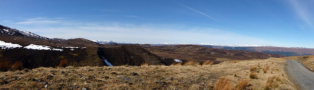
Cloud burn off
 P1060783
 by
23weasels, on Flickr
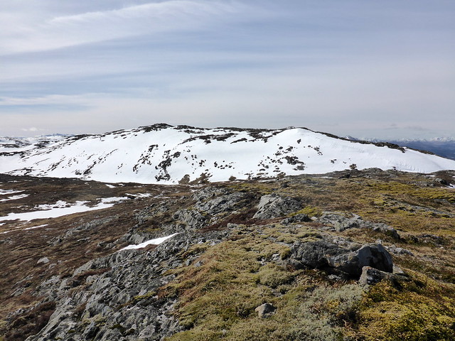
Carn a'Chuilin
 P1060787
 by
23weasels, on Flickr
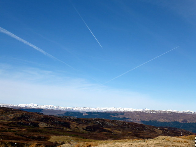
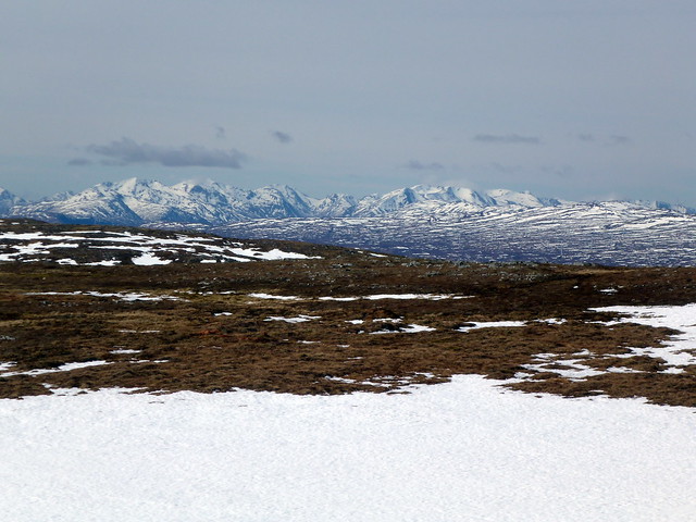
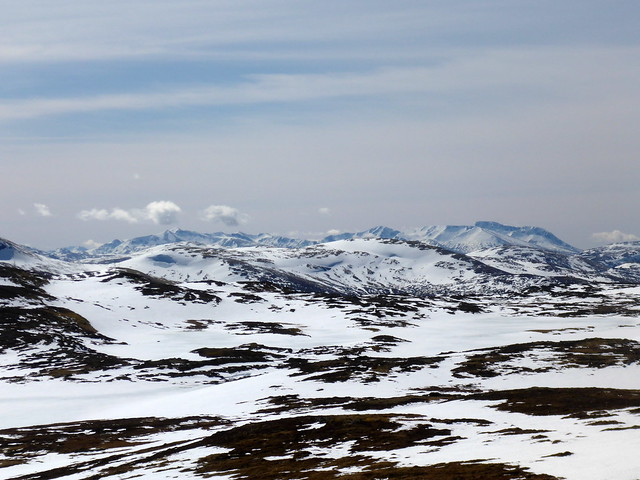
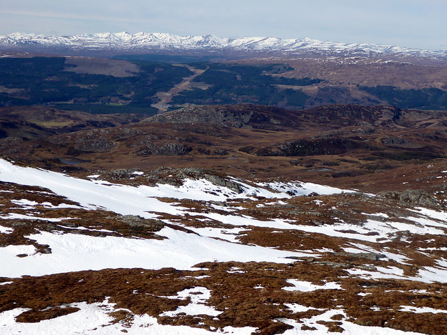
Loch Quoich Hills
 P1060788
 by
23weasels, on Flickr
 P1060792
 by
23weasels, on Flickr
 P1060793
 by
23weasels, on Flickr
Snow bunny
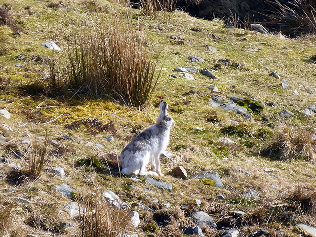 P1060795
 by
23weasels, on Flickr
View back down the track
 P1060796
 by
23weasels, on Flickr
inviting lochan
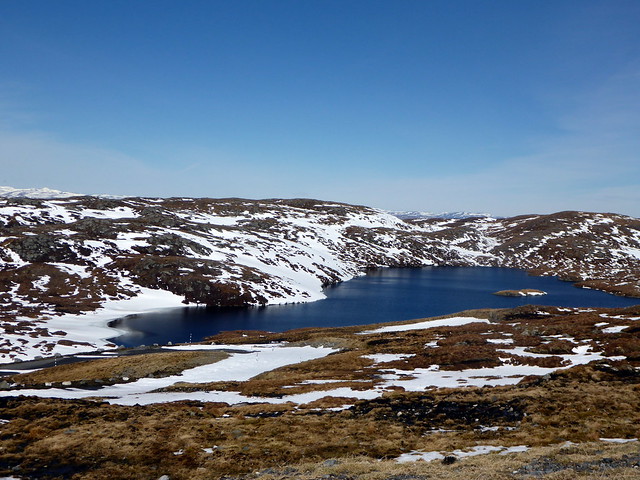 P1060800
 by
23weasels, on Flickr
 P1060801
 by
23weasels, on Flickr
 P1060804
 by
23weasels, on Flickr
 P1060808
 by
23weasels, on Flickr
Eventually we made it to the 781 top beside a'Chuilin and crossed deep snow clad flanks to the summit ridge - Allison was wary of avalanche so I suggested she wait, see if I died horribly then proceed if I hadn't
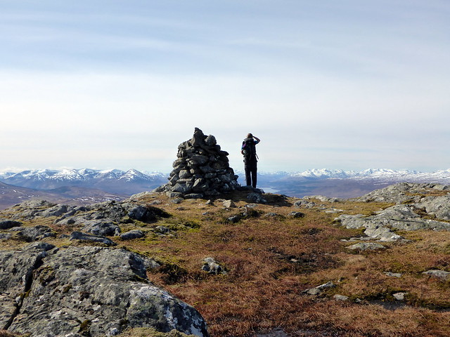
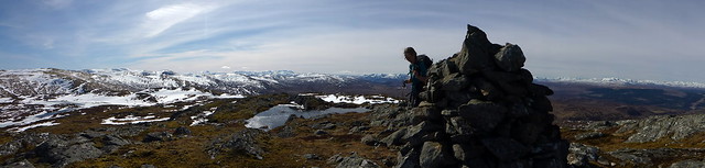
Then on to the summit cairn, about half a km SW. We gazed in wonderment at the hills and the unusually hued sky before deciding to head straight down to the west of the summit rather than retrace our steps - that way we could tag on Carn Doire Caorach, an impressive 531m monster
. Thereafter we made a boggy crossing of the plains back to the bridge to regain our original track and trotted back to the car. it had taken longer than anticipated today, but with such superb weather and views neither of us were complaining unduly. back to the car and a fine drive down the road, marvelling at the change in the weather from the last time we'd driven down this way on Monday - 0.5 degrees and sleetstorms compared to the 14.5 degrees wall to wall sunshine 6 days later.
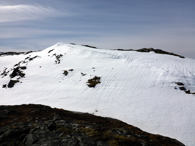
Chuilin from the 781m point
 P1060810
 by
23weasels, on Flickr
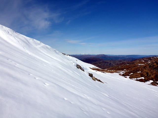
danger!!
 P1060811
 by
23weasels, on Flickr
 P1060812
 by
23weasels, on Flickr
Approaching summit
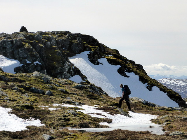 P1060815
 by
23weasels, on Flickr
 P1060816
 by
23weasels, on Flickr
 P1060817
 by
23weasels, on Flickr
 P1060818
 by
23weasels, on Flickr
 P1060819
 by
23weasels, on Flickr
 P1060822
 by
23weasels, on Flickr
 P1060823
 by
23weasels, on Flickr
Descent
 P1060825
 by
23weasels, on Flickr
