free to be able to rate and comment on reports (as well as access 1:25000 mapping).
Corbetts: Beinn Tarsuinn, Cir Mhor, Caisteal Abhail.
Date: 10/04/2015.
Distance: 23km.
Ascent: 1690m.
Time taken: 6 hours, 45 minutes.
Weather: Warm, hazy, increasingly windy.
With mid-April approaching, there were two rather tempting meets to pick from. Durness or Arran - how to choose? Good old single-minded bagging provided the answer: there was quite a juicy selection of Corbetts and a Graham on Arran that I had yet to go up, also Durness is a handy couple of hours away and takes much less effort to get to. So that was that decided

.
I took Friday off work and took the first bus to Glasgow at 6:50am, which would give me an afternoon of walking on Arran . Getting the bus round to the west coast to go up Beinn Bharrain seemed like a good bet, but after seeing the weather forecast I decided to cram the best hills into the best weather, even though I was starting out a bit later than I would have liked. My route also handily took me from the ferry to Lochranza, where we were staying.
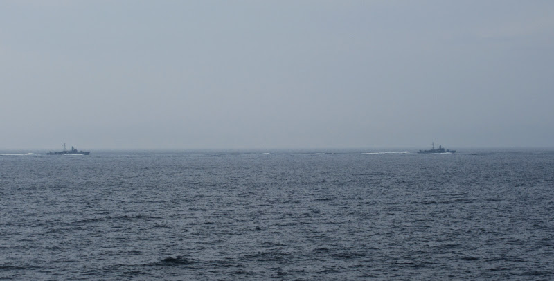
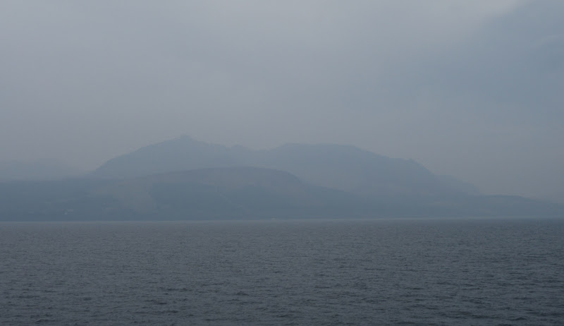
Despite the feeling of spring in the air, the haze was so dense that Arran wasn't in the slightest bit visible from Ardrossan, and only loomed out of the murk when we were about 2/3 of the way across. This was the weekend of the NATO exercise, which pretty much provided a recurring theme for the trip. on the way out, we saw a procession of frigates passing by.
Let the war games commence…
Finally able to spot Arran from the ferry:
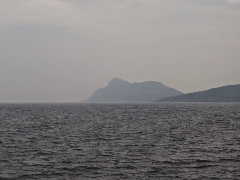
Holy Island:
The ferry was a little late in, so I was on my way at about 1:45pm from Brodick. I didn't hang around, getting the easy flat part of the walk done at a good pace to make the rest a little more relaxing. Along the waterfront, round the golf course then out onto the main road briefly before I reached the sanctuary of Glen Rosa, with barely any traffic in it.
Beinn Nuis, Beinn Tarsuinn and Goatfell from Brodick:

Glen Rosa:
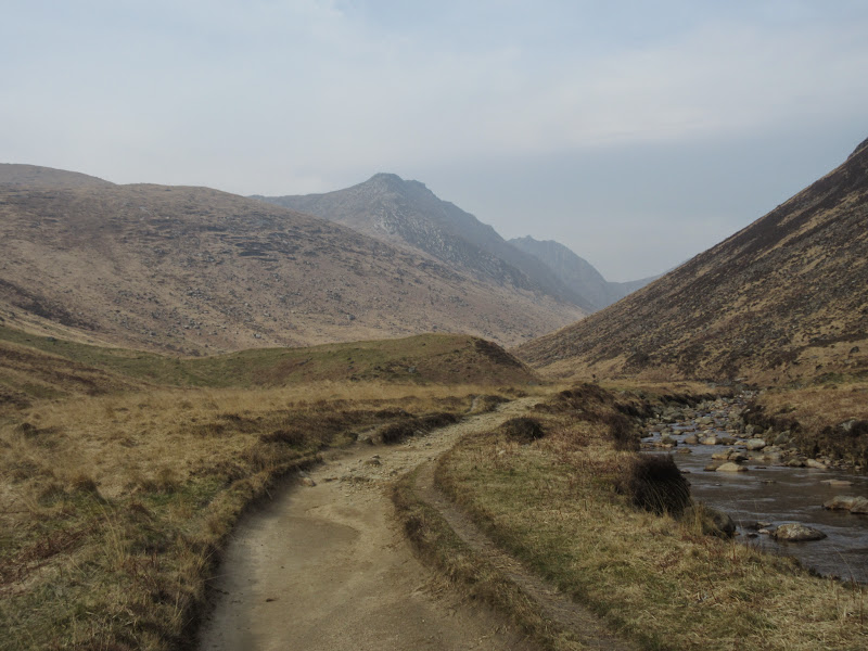
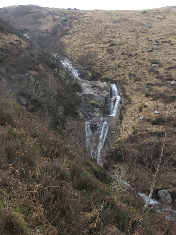
It was a pleasant stroll on a good path up the glen, where I passed a family I had seen on the ferry - they were also to become a recurring theme over the weekend! I took a supposed shortcut up to the Garbh Allt, which was a mistake in retrospect, as what I thought was a path cutting up the hill was actually the line of the water supply pipeline for Brodick. Despite looking like a good line from afar, it was invisible up close and the ground was rough. It took me past some interesting waterfalls before I crossed the burn and joined the proper path.
Garbh Allt:
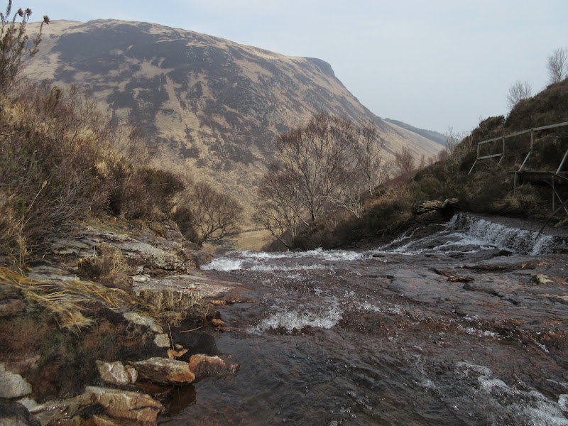
I somehow missed the higher crossing of the burn and ended up crossing at a small gorge. The middle section of the ascent between the top of the climb out of Glen Rosa and the hill proper is quite sloppy - something remembered from a previous visit when I had had limited time and only managed to get as far as Beinn a' Chliabhainn. I remembered that to be a nice ridge as well, but in the interest of variety I decided to take the Beinn Nuis route this time.
Heading up to Beinn Nuis:
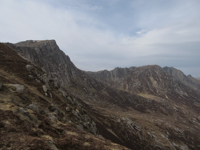
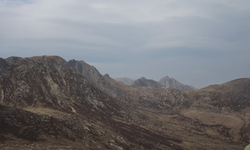
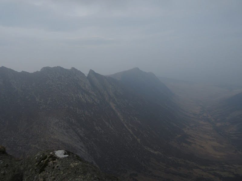
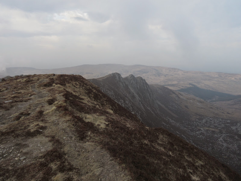
Soon I was on good ground and a good path - when you aren't scrambling, the high parts of Arran are remarkably easy and pleasant underfoot. There was an impressive view along to Beinn Tarsuinn, A' Chir, Cir Mhor and Caisteal Abhail, most of which I was about to traverse.
I think I need to walk over most of these – can’t wait!
Back to Brodick:

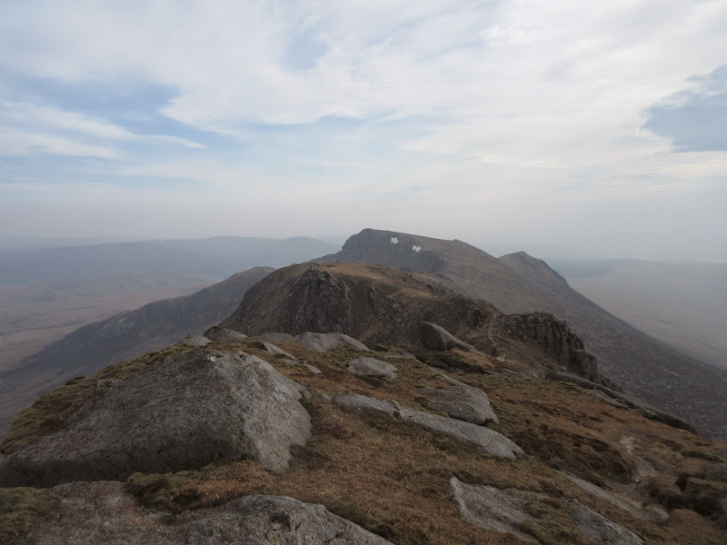
Beinn Tarsuinn and Cir Mhor:
Beinn Tarsuinn:
The going from Beinn Nuis was easy, alternating between firm paths, short grass and granite slabs. I wasn't especially seeking out the best scrambly bits or the crest of the ridge as my bag was quite heavy (after booking the youth hostel I had replaced all my camping gear with a decent supply of beer

) and it was quite breezy.
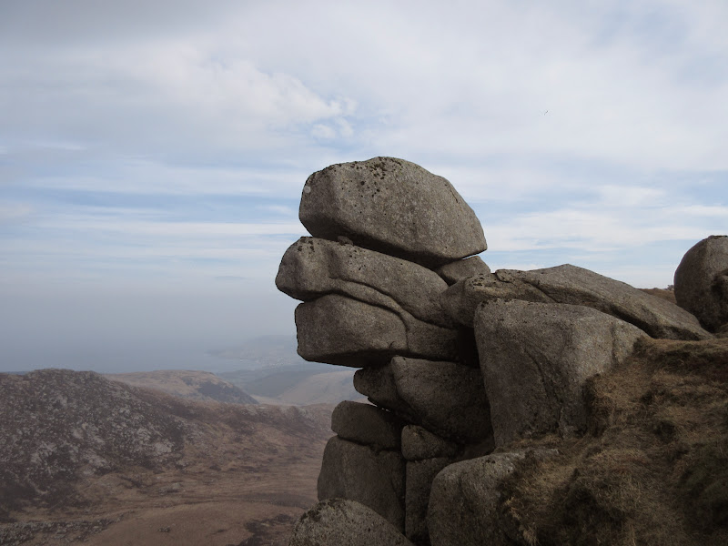
Can’t have a trip report without a photo of this:
Back to Beinn Nuis:
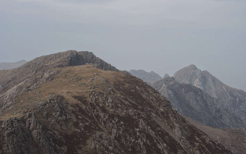
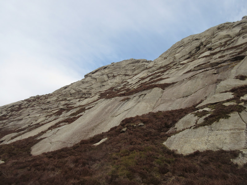
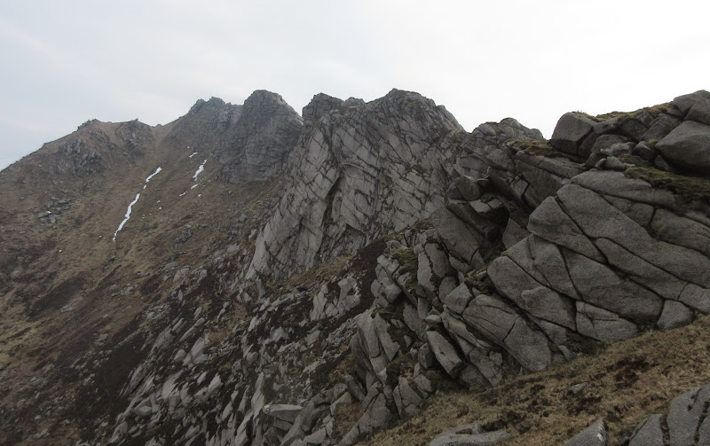
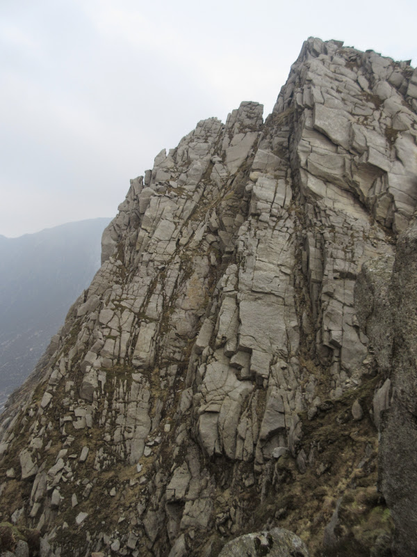
A scrambly descent took me face to face with A' Chir. Here my tendency to pay little attention to details in trip reports and guidebooks came back to bite me. I knew there were some awkward bits of scrambling on A' Chir but I didn't know where, whether I would be going up or down them, or how extensive they were. With the wind gusting around and my heavy bag, I reluctantly settled for the bypass on the western slopes. This was fairly rough, but nowhere near as rough as the ground on either side.
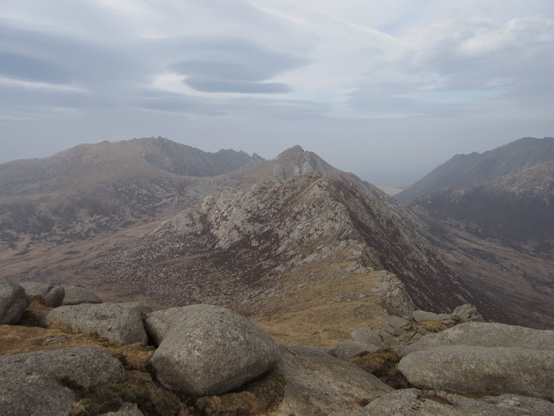
A’ Chir and Caisteal Abhail:
Descending from Beinn Tarsuinn:
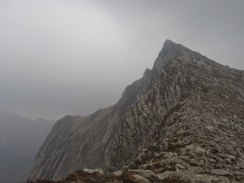
A’ Chir:

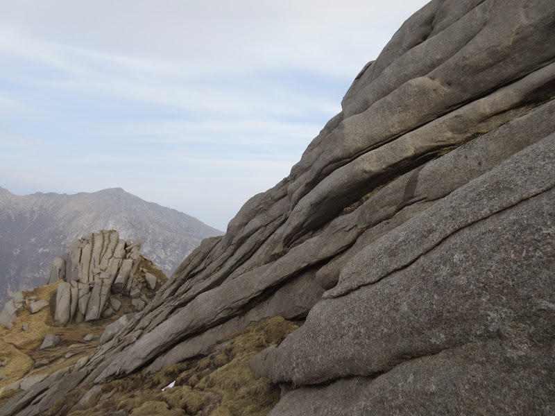
Slabs on west side of A’ Chir:
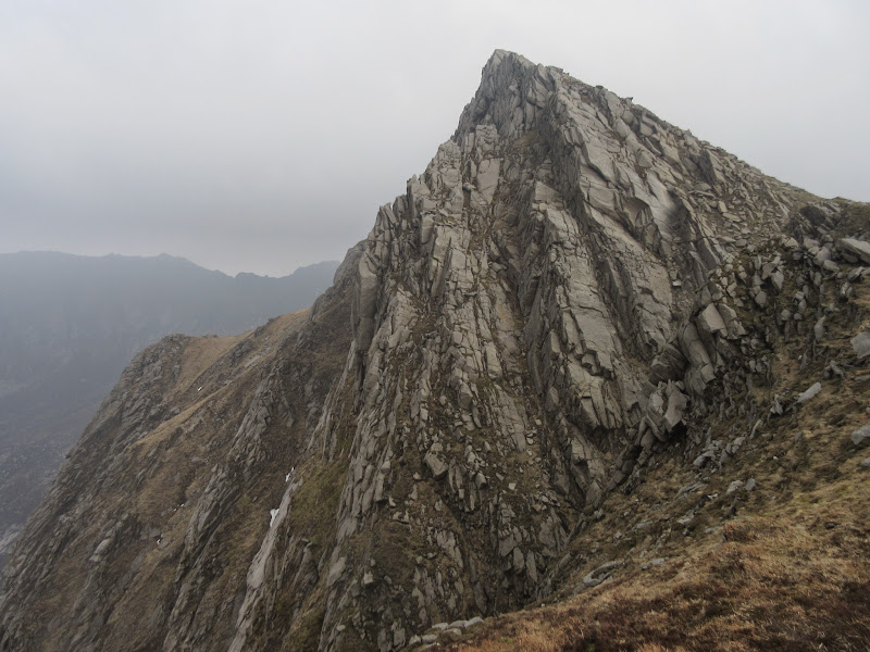
Looking back to the fun bits I missed on A’ Chir:
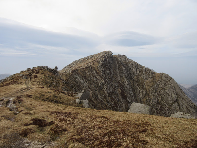
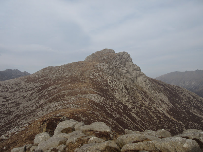
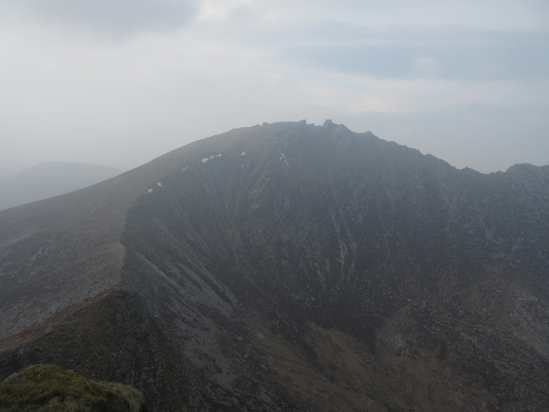
It was a steep rocky haul up Cir Mhor. I've never really seen much of this peak before - it is pretty imposing from just about every angle! The top is on a rocky slab, and there isn't a great deal of room up there.
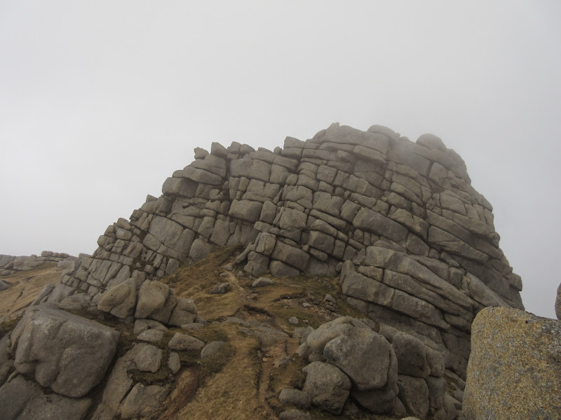
Cir Mhor:
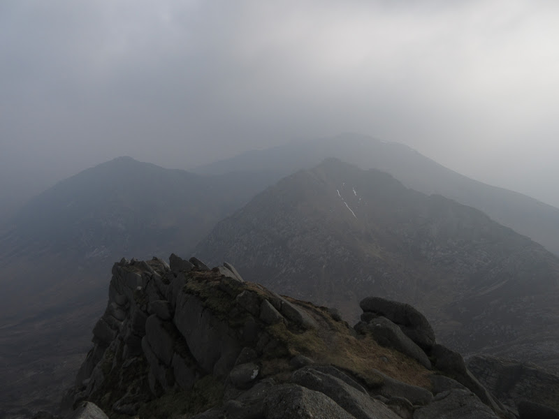
Back to Beinn Tarsuinn – weather closing in:
Glen Sannox:
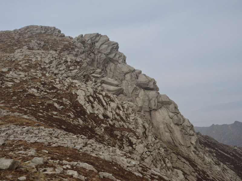
Caisteal Abhail and Ceum na Caillaich:
The now familiar steep scrambly descent took me to the foot of Caisteal Abhail. The weather was now closing in although it was so hazy it was not that noticeable. I got a move on, wanting to get to the last summit before the cloud dropped completely. Firstly it was well worth a couple of stops to look back at Cir Mhor.
Cir Mhor:
I failed by about 15 minutes to get a proper view from Caisteal Abhail, and the wind, always constant, had notched up a few pegs until it was screaming around the outcrops that made up the summit. I made it to the top of one, just for a brief clearing to show me the real summit. Another short battle with the wind and I was up.
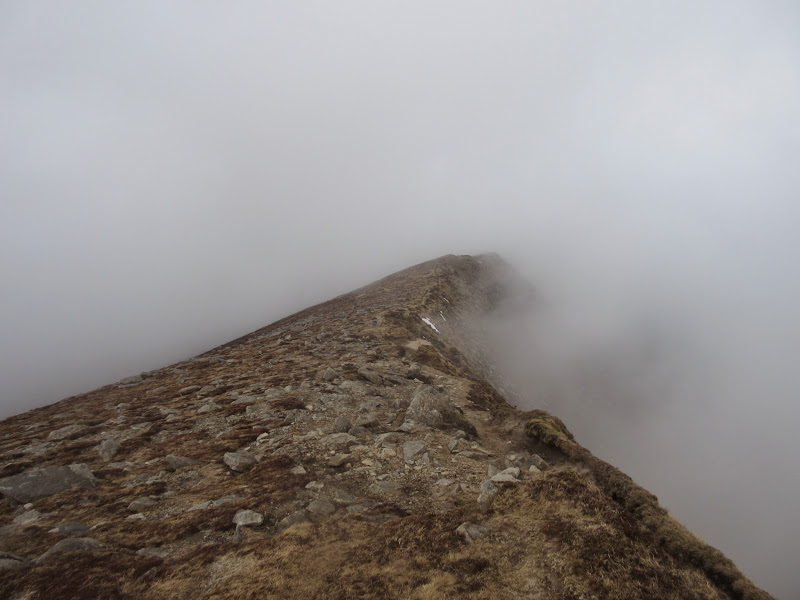
Summit of Casteil Abhail:
I almost dropped off the wrong way but recognized a bit of path I had just come up. Once on the correct ridge, the wind gradually subsided as I lost height, and the views returned a little.
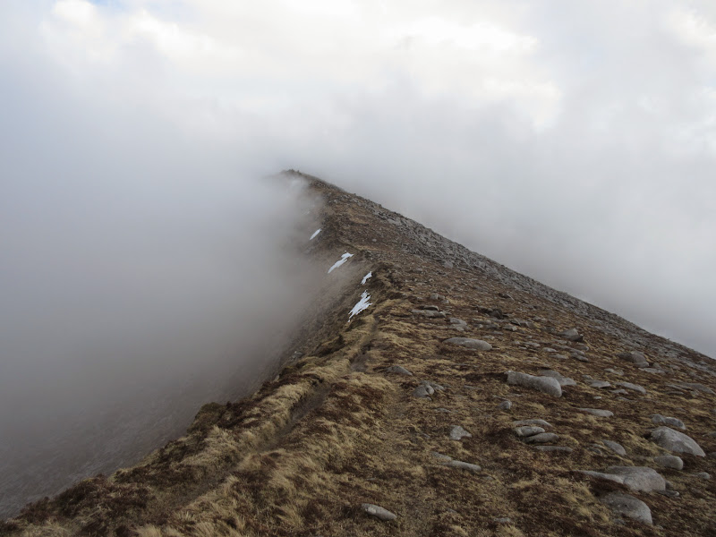
Descending Casteil Abhail:
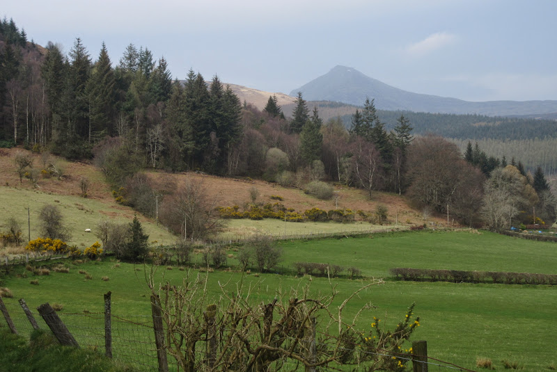
Carn Mor:
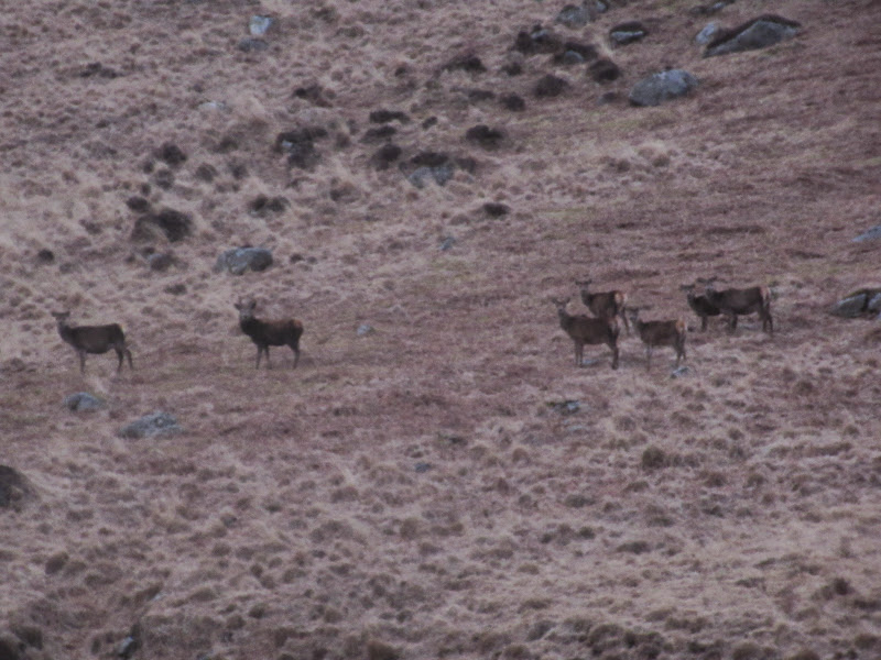
After standing on the minor summit of Creag Dubh, I headed north down a gentle shoulder towards Gleann Easain Biorach. I had a break now it was calmer, then continued down to the path in the glen. The ground was quite easy going almost all the way to the path, which was a bit of a slop itself.
Deer in Gleann Easain Biorach:
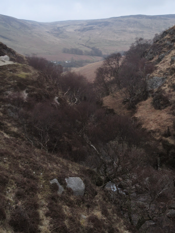
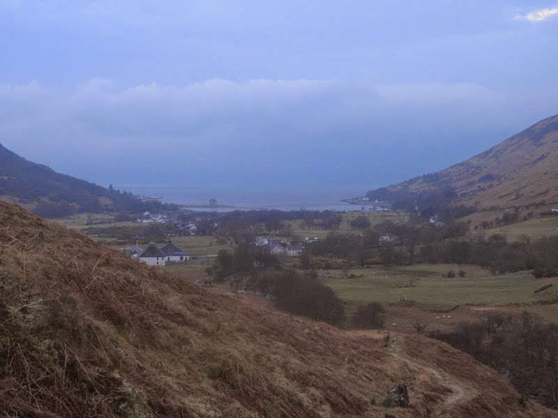
Lower down there was a nice gorge and a pleasantly dry and scenic final descent to the distillery at Lochranza. A short stroll along the road later (pavements are in pretty short supply on Arran, even in the villages) I was at the youth hostel.
Gleann Easain Biorach:
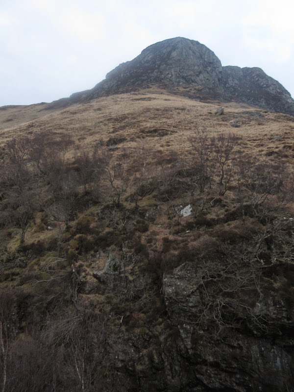
Torr Nead an Eoin:
Lochranza:
I'd love to come back and revisit some of these hills in clearer weather and in less of a rush, but I enjoyed my afternoon out. I had made good time so there was time for food before heading to the pub for a pint or three and a catchup. I thought that would be it for the enjoyable walks (given the weather forecast) but I was wrong....
Link to day 1