free to be able to rate and comment on reports (as well as access 1:25000 mapping).
Grahams: Beinn Bharrain.
Sub 2k Marilyns: Sail Chalmadale
Date: 11/04/2015.
Distance: 26km.
Ascent: 1200m.
Time taken: 7 hours, 30 minutes.
Weather: Cold, windy, occasional showers, sunny.
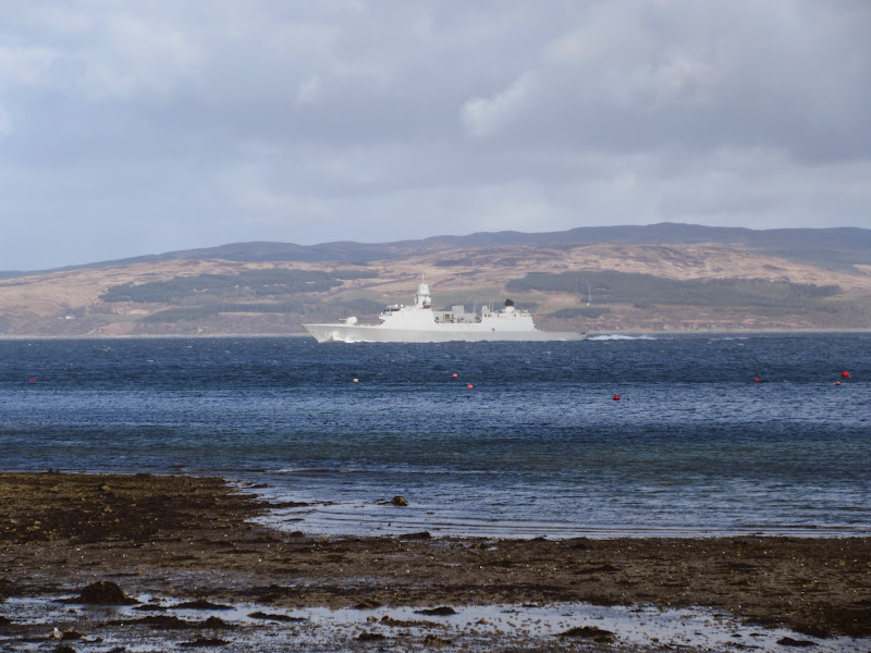
Link to day 0I thought yesterday would be it for the good weather, and didn't bother getting up too early on Saturday. I had missed the first bus down the west coast of the island and there wasn't another due for a couple of hours, so I decided to start walking in the general direction of Beinn Bharrain. It felt about 10 degrees colder than yesterday and there was snow on the hills again. Various NATO exercises were on again in the Sound of Kilbrannan - a couple of folk yesterday had spotted the periscope of a submarine but I hadn't. Didn't today either.
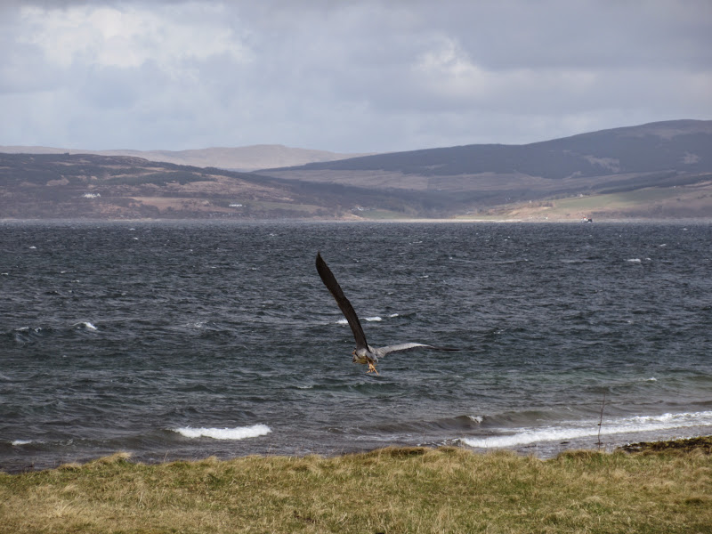
Hunt that sub:
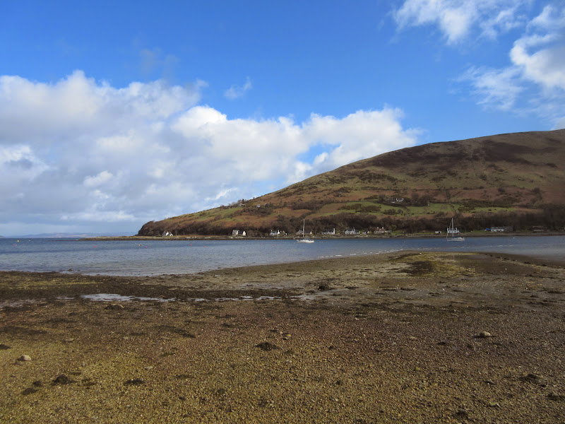
Loch Ranza:
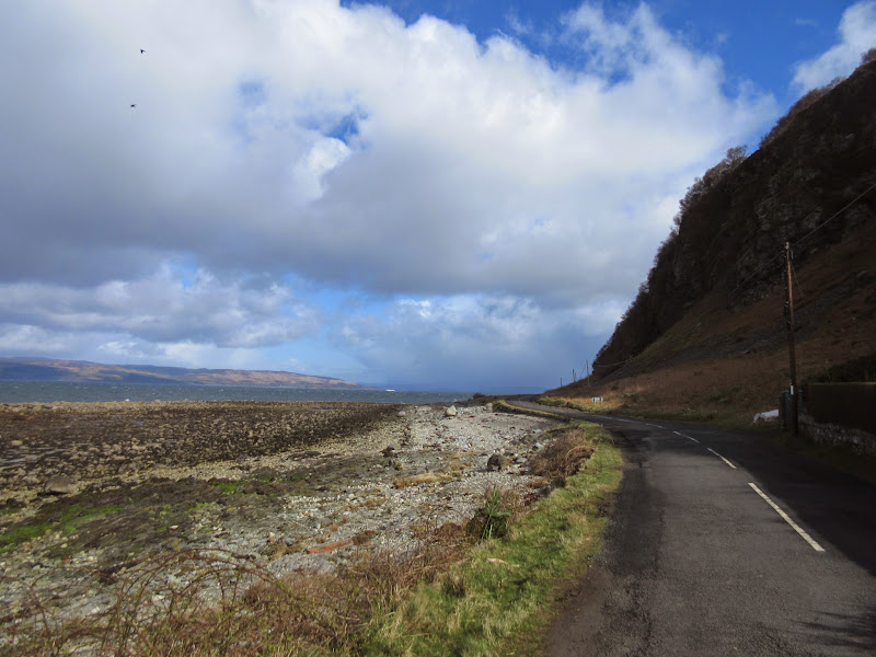
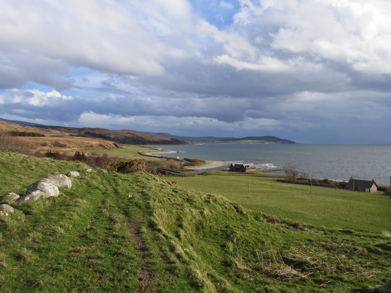
By the time I passed the ferry terminal, the sun was out and the rain had stopped. I ambled slowly round the coast to Catacol then onwards to Thundergay, enjoying the blueness of the water. Although the rain had stopped, the wind was strong even down at sea level, and before long I needed my hat and gloves on. This side of the island is really quiet and I was only passed by a few vehicles in the time I was on the road.
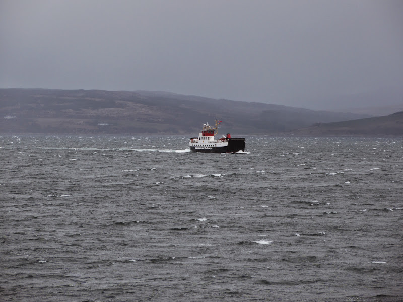
Claonaig to Lochranza ferry:
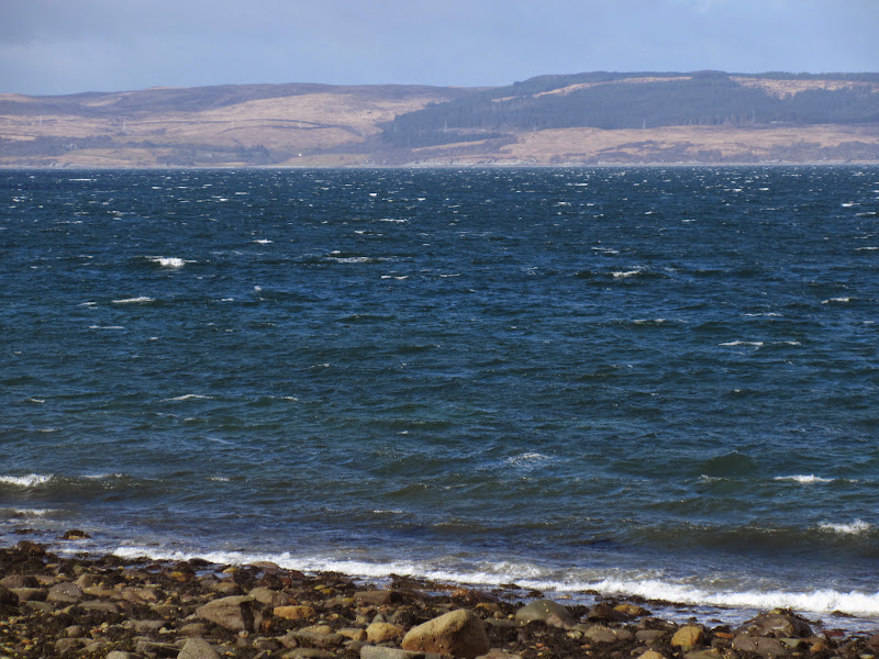
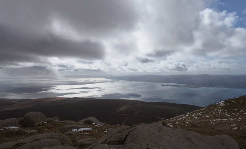
Mull of Kintyre across the Kilbrannan Sound:
Coast road:
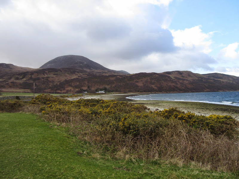
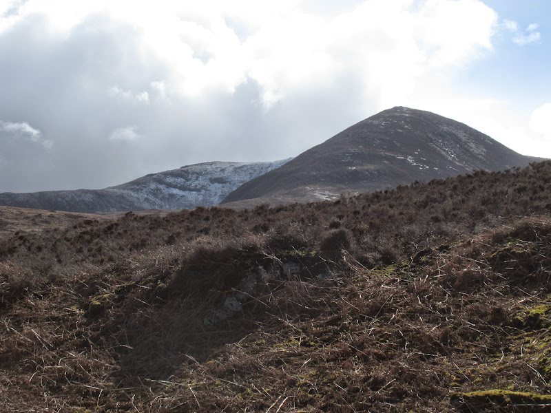
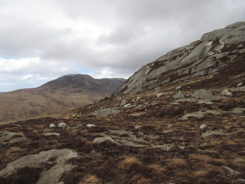
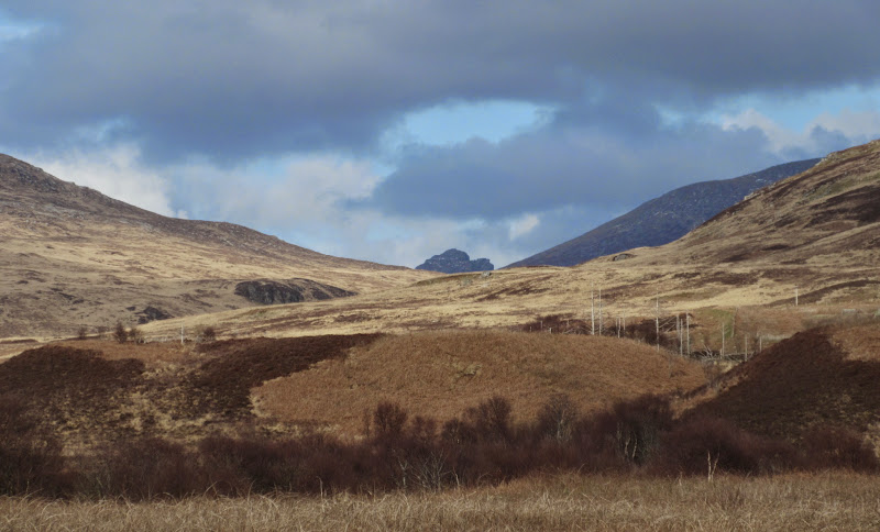
Meall nan Damh offered a good route onto Beinn Bharrain from the north, but I gave it a miss. I had been up it with a friend before about 10 years previously without knowing anything much about it - it just happened to be the closest hill to where we were at the time. I remember it being steep and rough, and then getting a great view of Fionn Loch and thinking 'must go there sometime'! So I carried on along the road with the intention of walking up the marked path from Thundergay.
Meall nan Damh:
Too late for a good photo:
Kintyre again:
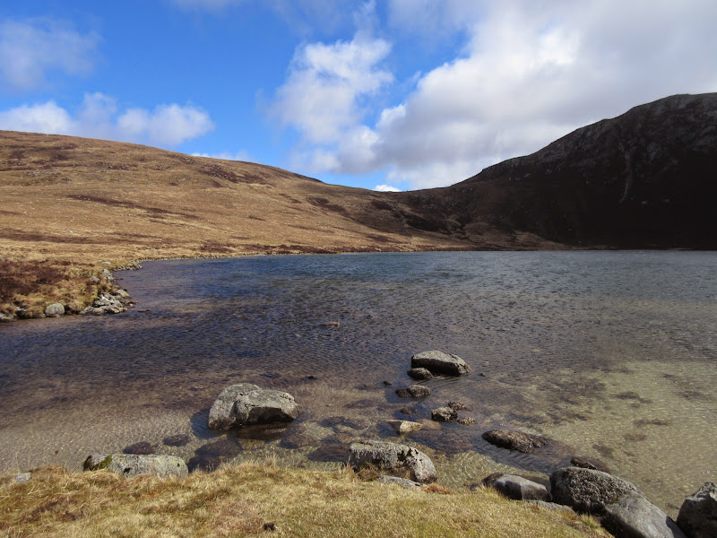
I might as well have had an extra hour or two in bed, as the next bus passed me just as I reached Thundergay. Still the road had been quiet and scenic enough to be a nice walk. The path up to Fionn Loch was well made and before long I was having some lunch on the shores of the loch, sheltered in a small dip. Shortly after getting going again, an ominous black cloud moved in from the west. I decided now would be a good time to put some trousers on for a change. Glad I did as it was full of hailstones

.
Meall Biorach and Coirein Lochain:
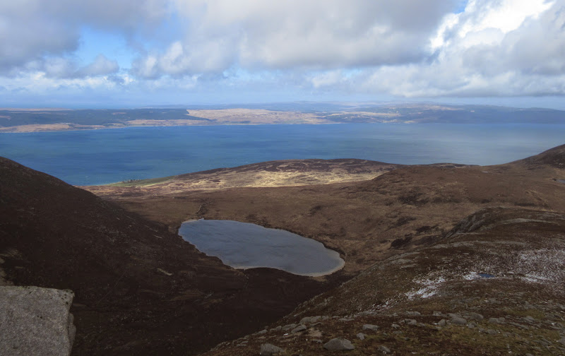
Fionn Lochan:
…with some nasty hailstones moving in:
Although the wind was howling, the shower soon passed and the path upwards was easy. I met one other person here - he had passed me while I was eating lunch, but decided that it was too unpleasant to carry on much further. Yesterday's haze had dissipated along with any feeling of spring, and I could now make out the Paps of Jura.
Paps of Jura just visible:

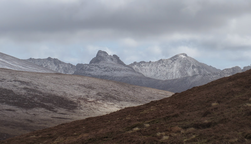
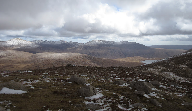
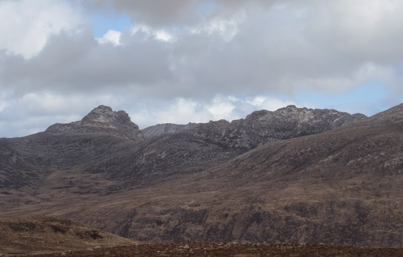
Closer at hand, the high mountains of Arran sprang up to the east with a fresh cap of snow. Today would have been quite hard going over there but pretty impressive - I probably should have been more sociable and walked with Des, Marion and Stevie (who were on the Corbetts today, but had been up Beinn Bharrain yesterday).
Cir Mhor and Goatfell:
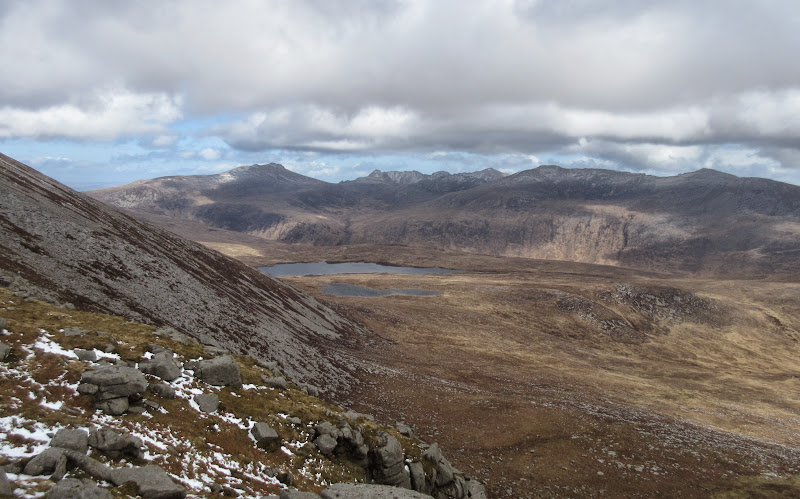
Fionn Lochan:
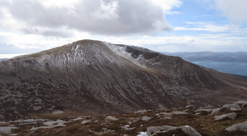
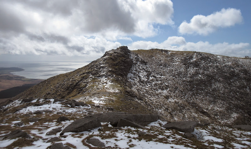
Then there was the rest of my hill sprawled out ahead, which didn't look too shabby either. It seemed a fair bit higher than its modest 721m, and the NW ridge to the summit looked impressive. This had been another possibility today, but being even further down the coast, I hadn't bothered. I had also fancied the ascent via Fionn Loch. Yet another excuse to come back to Arran again, as if one was needed!
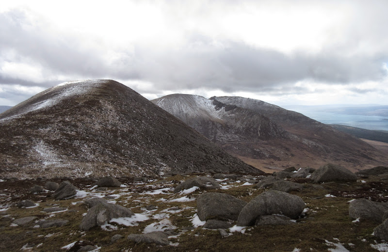
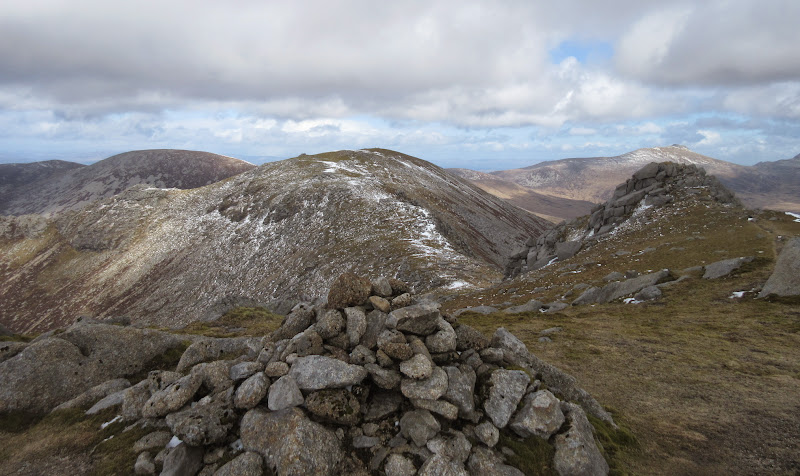
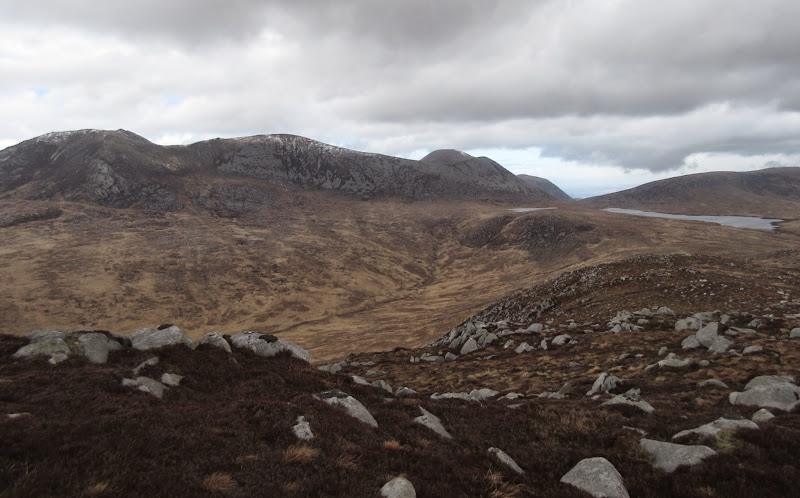
Beinn Bhreac and Mullach Buidhe:
Eastern Arran hills – Casteil Abhail to Beinn Nuis:
Beinn Tarsuinn and Loch Tanna:
Mullach Buidhe:
Back to Beinn Bhreac:
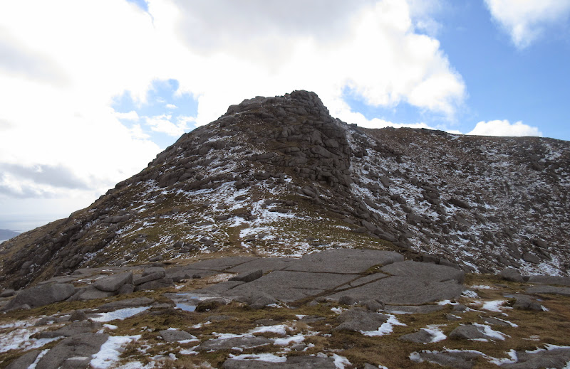
There was some up and down over lower summits but the walking was on lovely ground and there was even some respite in the lee of the wind occasionally.
NW ridge of Mullach Buidhe:
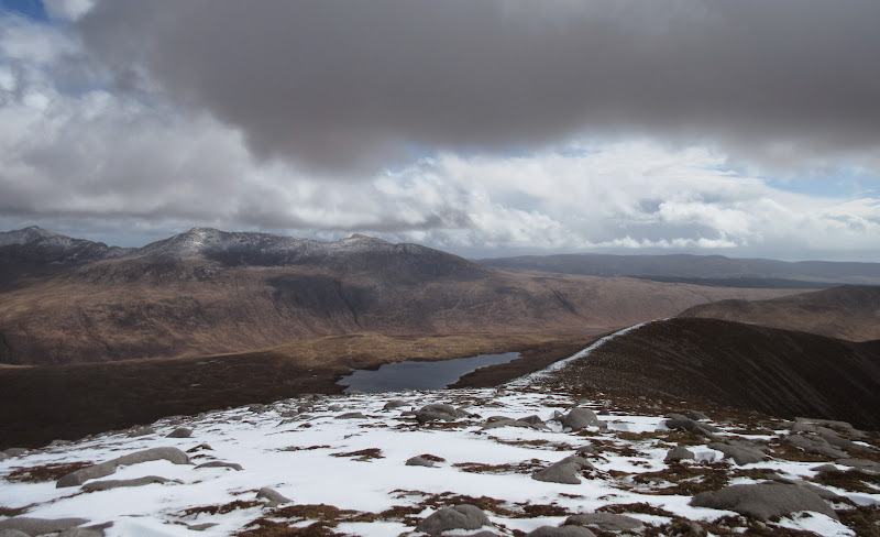
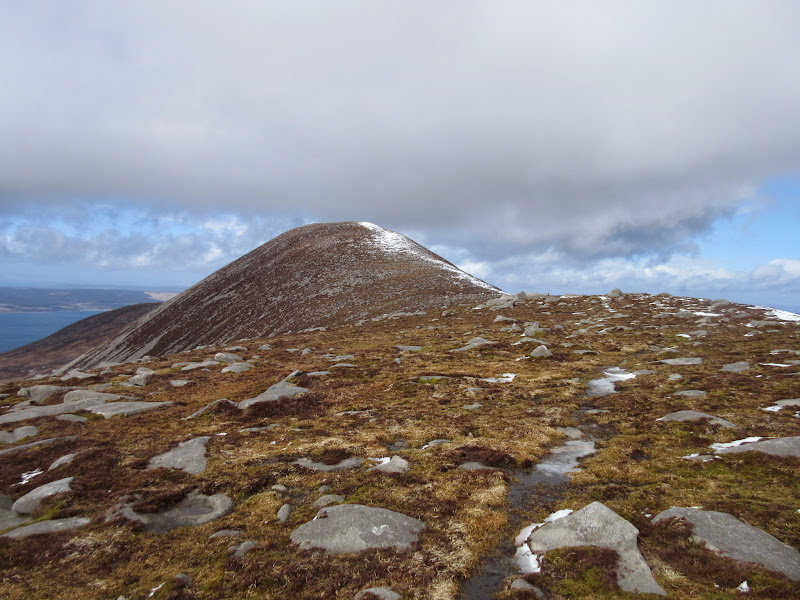
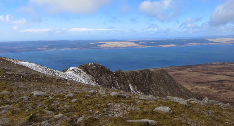
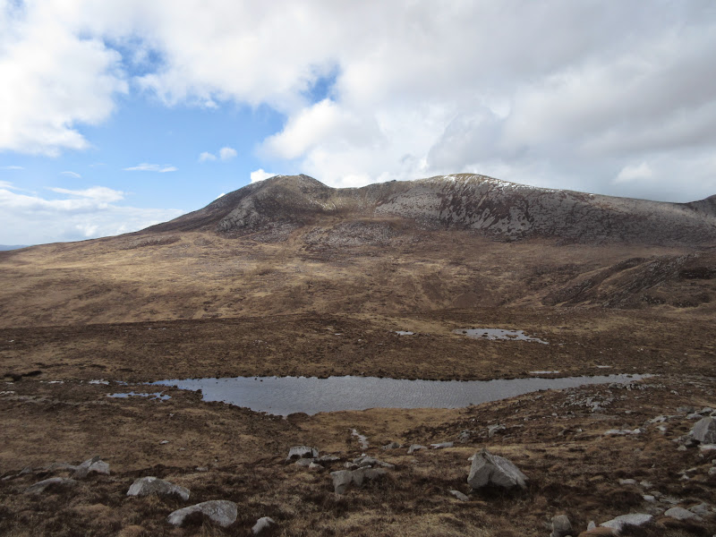
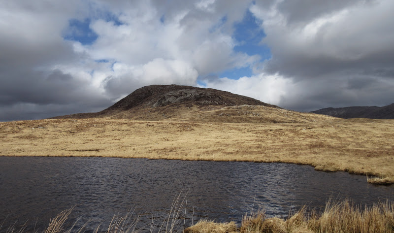
Dubh Loch and Sail Chalmadale:
Summit of Mullach Buidhe:
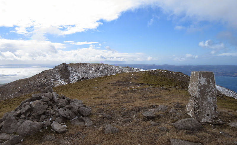
NW ridge:
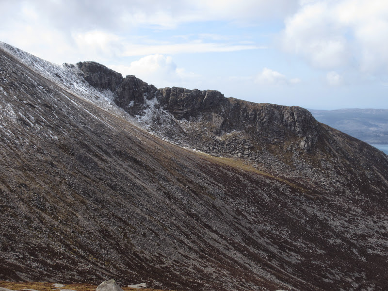
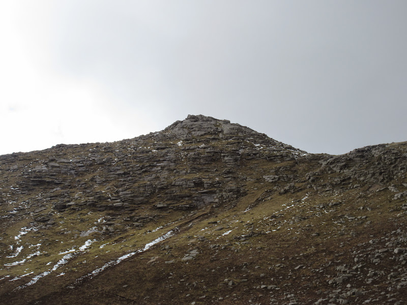
On the summit, I felt I had to go onto the 717m southern top, as this looked to be the most interesting in the whole range. What looked like an imposing buttress turned out to be little more than a walk. I wasn't sure, but I thought I could see Ireland beyond the end of the Mull of Kintyre, although it was very faint. The small peninsula of Carradale looked worth a visit one day.
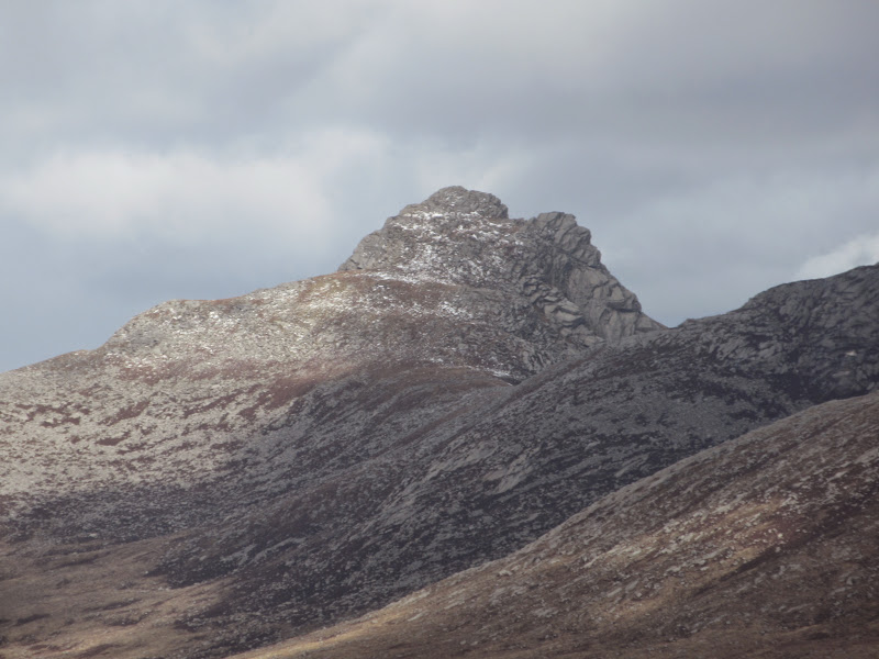
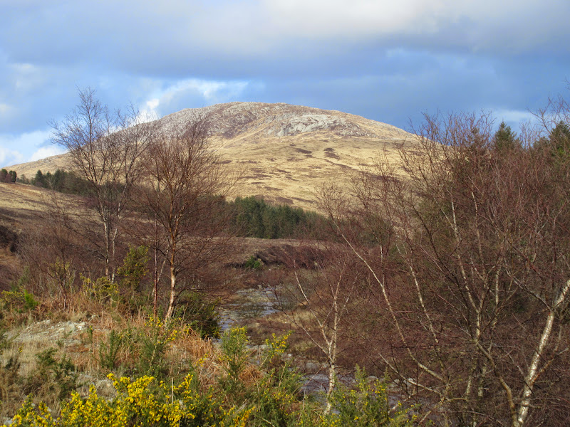
Beinn Bharrain:
Back to Mullach Buidhe:

Sound of Kilbrannan with Carradale sticking out on the far side:
Holy Island:
Back to Beinn Bhreac and Mullach Buidhe:
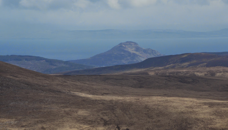
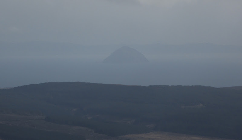
Ailsa Craig:
I retraced my steps to the last col and looked for a way down the eastern slopes. I had decided I should have enough time to loop over Sail Chalmadale and catch the early evening bus back to Lochranza from High Dougarie. Visiting the 717m summit had turned out to be a good move, as a grassy gully then open slope led me down towards Dubh Loch. If I had dropped down from the trig point as previously intended, it would have been big boulders and scree the whole way down.
Arran Corbetts:
Beinn Bharrain from the descent to Dubh Loch:
Casteil Abhail and Cir Mhor:

Cir Mhor and A’ Chir:
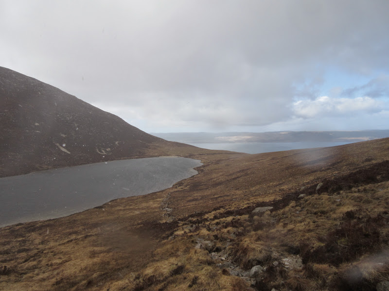
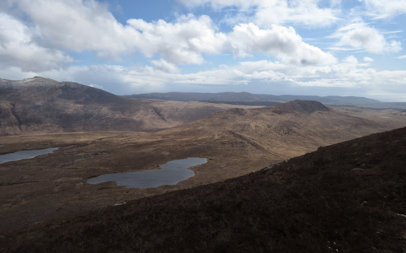
While the walking was straightforward enough, there was a definite hint of Galloway in the ground, with the familiar grassy tussocks. I looped round past Dubh Loch and Lochan Nan Cnamh before ascending the ill-defined north ridge of Sail Chalmadale. Between the hills of each coast, the interior of northern Arran is quite bleak and remote feeling, dominated by the marshy expanses of Glen Iorsa. Very different to the more popular Glen Sannox and Glen Rosa.
Bheinn Bharrain from Lochan nan Cnamh:
Cir Mhor:
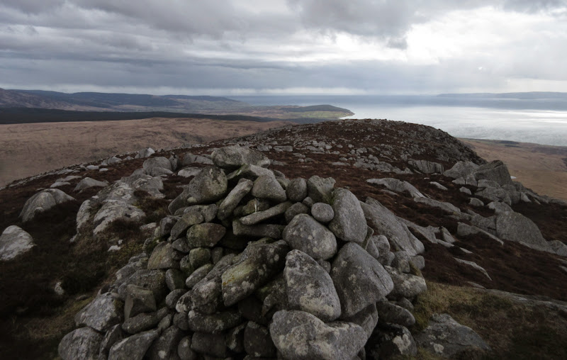
Sail Chalmadale is a good viewpoint - both the Glen Rosa and Beinn Bharrain ranges of hills look impressive from here, and the view down the west coast of the island isn't bad either. On the descent southward, the Galloway comparisons become more valid, as the tussocks get deeper and the going harder. However there are also some beautiful granite slabs which more than compensate.
South from the summit of Sail Chalmadale:
Bheinn Bharrain ridge from Sail Chalmadale:
Granite slabs on S ridge of Sail Chalmadale:
Loch Sail Chalmadale:
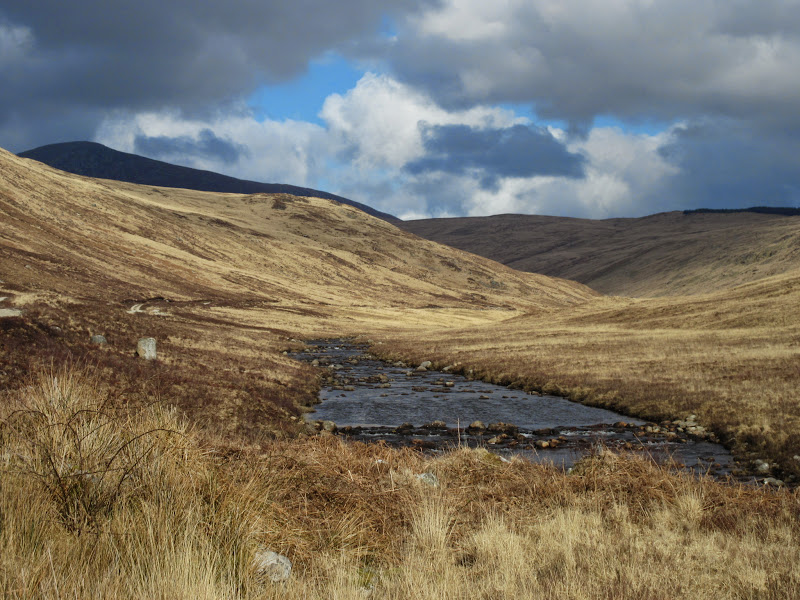
I had plenty of time, so stopped out of the wind just before the final descent into the glen. The glen itself had great views back up to Sail Chalmadale and Beinn Tarsuinn. There is quite a large ford to cross at Allt Scaftigill (although with a concrete bed), then a somewhat muddy bypass around Dougarie Lodge.
Glen Iorsa:
…with Sail Chalmadale in the background:
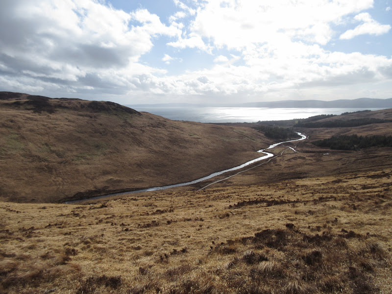
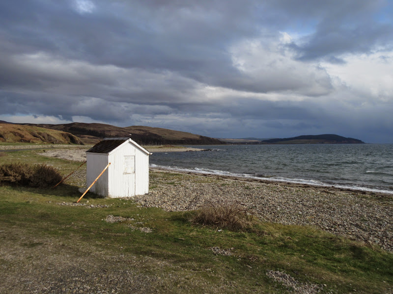
Then I popped out on the coast road. There was no sign of a formal bus stop so I wandered south to a beach hut for some shelter and waited there for the bus. The wind was probably just as bad down on the coast as it had been up on the hill, but for the most part I'd had a sunny day and a great walk. I'd say Beinn Bharrain has almost as much going for it as the higher hills to the east - it is probably in the top 20 best Grahams in the country anyway.
Coastline at Dougarie:
Dougarie Lodge and Sail Chalmadale:
The bus was about half an hour late but it didn't really matter - there was no real rush to be back in Lochranza (although if I'd known the only ale on tap in the Lochranza hotel would run out by the time I got there, I may have been slightly more impatient!)
Sat here for an hour waiting for the bus:
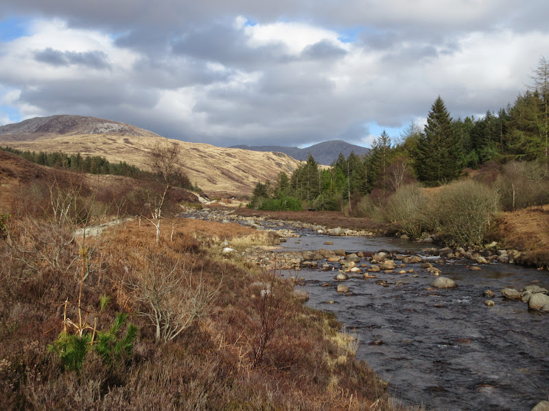
The ever-visible Cir Mhor from Dougarie:
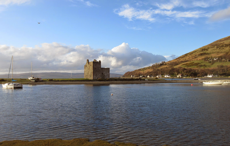
On the way back to the hostel I managed to snap a couple of pictures of the castle in better light than the morning.
Lochranza castle:
Torr Nead an Eoin:
Dinner was followed by another good night in the pub, and with no expectations of good weather the next day, there was no need to go to bed early. How wrong we were again...
Link to day 2