free to be able to rate and comment on reports (as well as access 1:25000 mapping).
TAKE NO NOTICE OF THIS: IT GOT BUMPED WHEN I WAS REPLACING OLD PHOTOBUCKET PHOTOS
What? Scrinadle
When? Sunday, April 19th 2015
Weather? Wall to wall sunshine, warmish, hardly any wind
Who? Sgurr and R
Distance? 10 miles
Ascent? 2600 feet
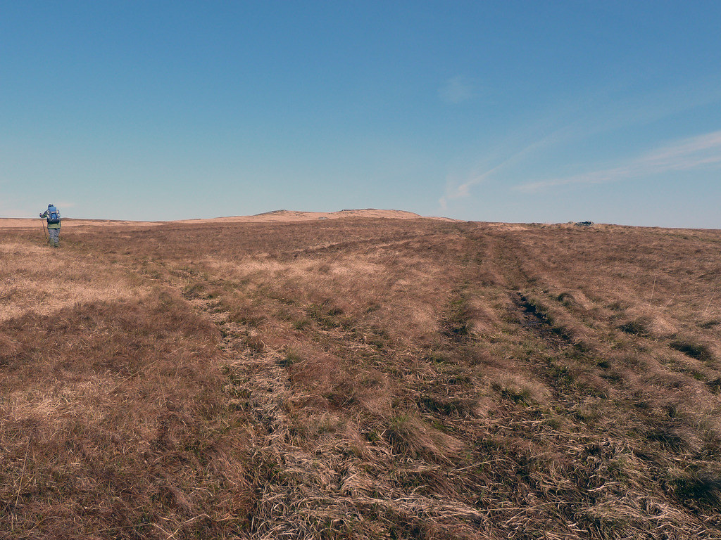
I couldn’t resist the title, but anyone knowing (a) Jura (b) R and me, will know that lurching from hidden hole to hidden hole is a more appropriate description of our "progress" than a skedaddle, though there were some minutes where we lurched from hidden boggy bit to hidden boggy bit, and some places where we could even walk upright if we didn’t try anything too fancy.
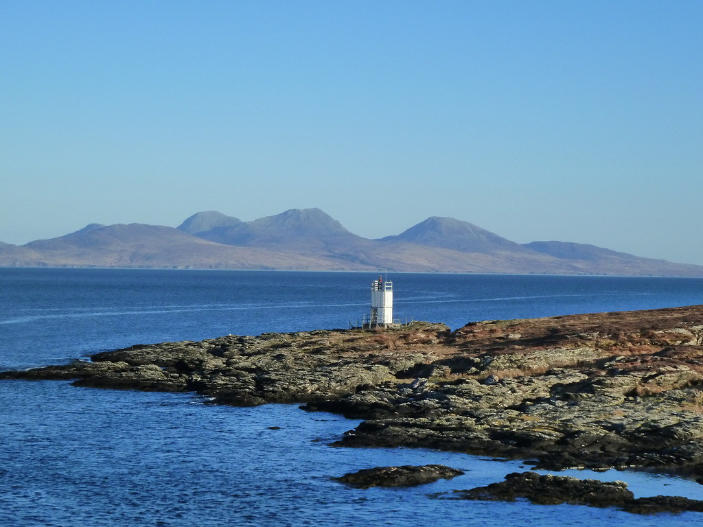
We had arrived the previous day in wonderful weather. Below, Jura from Colonsay, with Scrinadle on the left.
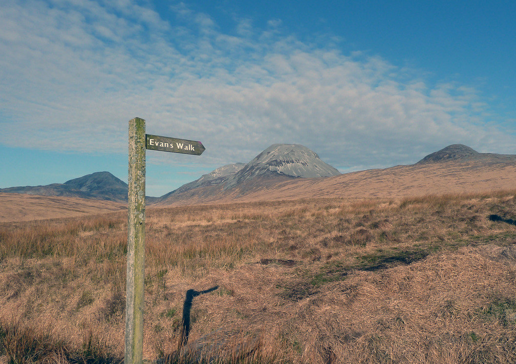
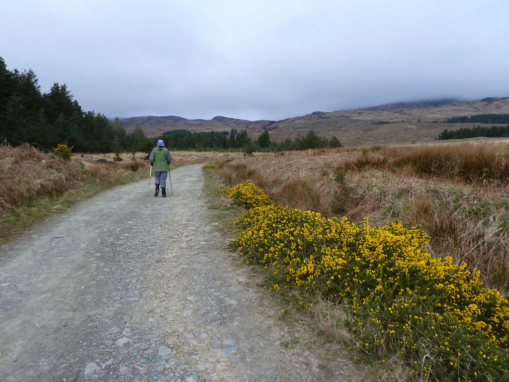
This would be the third time we had walked up Evans Walk (Pedants please note that it seems to say Evan's Walk on the sign. I believe the originator was Evans, so maybe it should be Evans' walk. I have compromised and will please nobody in calling it Evans Walk.) The first time we climbed Corra Bheinn and the second Beinn Bhreac.
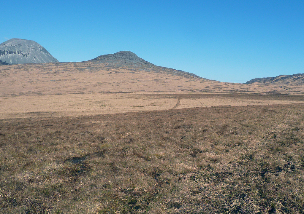
It doesn't get any shorter across to the bottom of the hills. Centre Corra Bheinn, left Beinn Shiantaidh
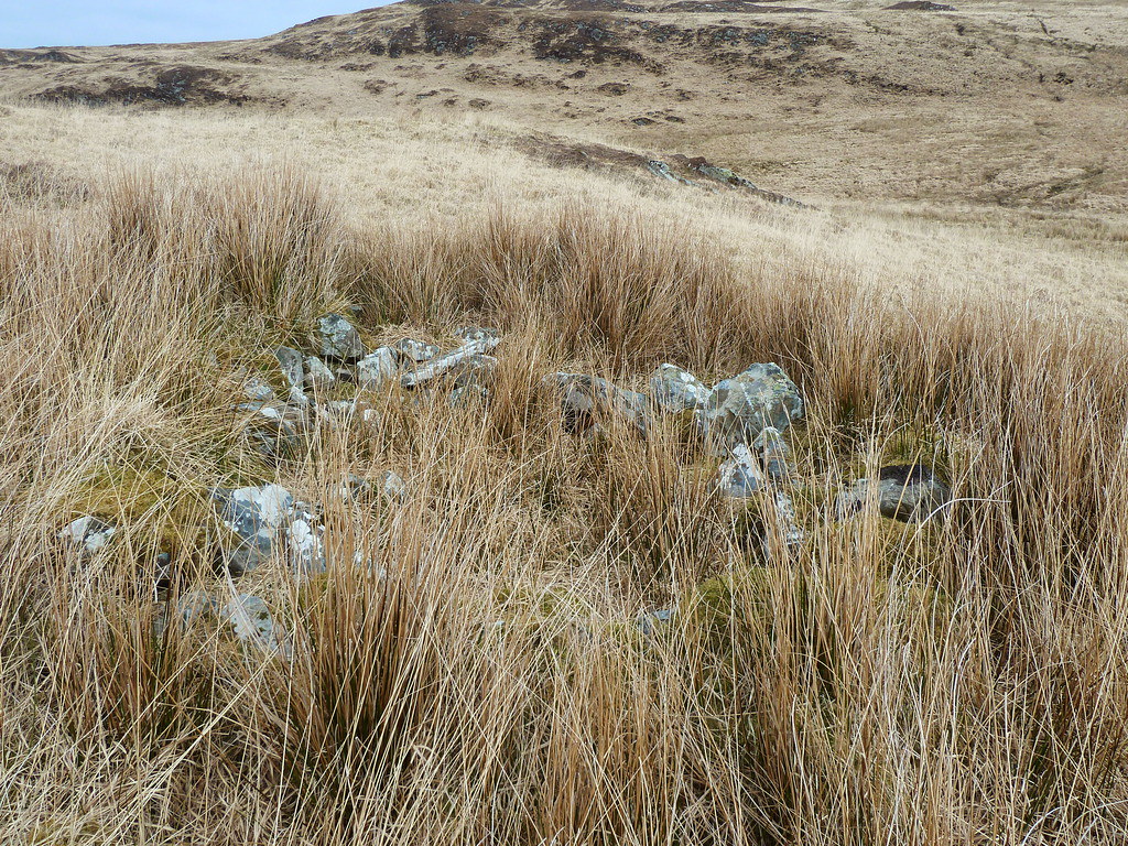
And you would think that after two attempts, NEITHER of us would fall into this bog. Not exactly THIS bog(below), but the bog all around it that looked like dry land.
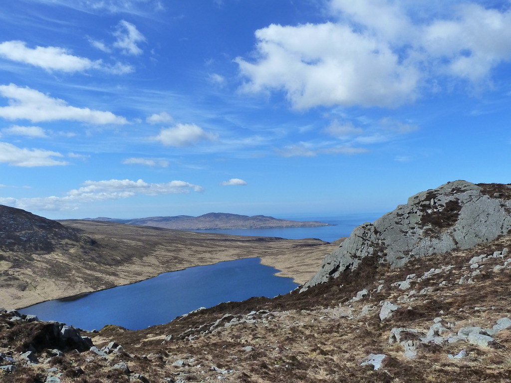
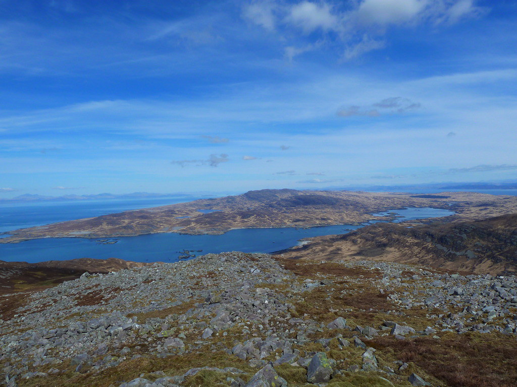
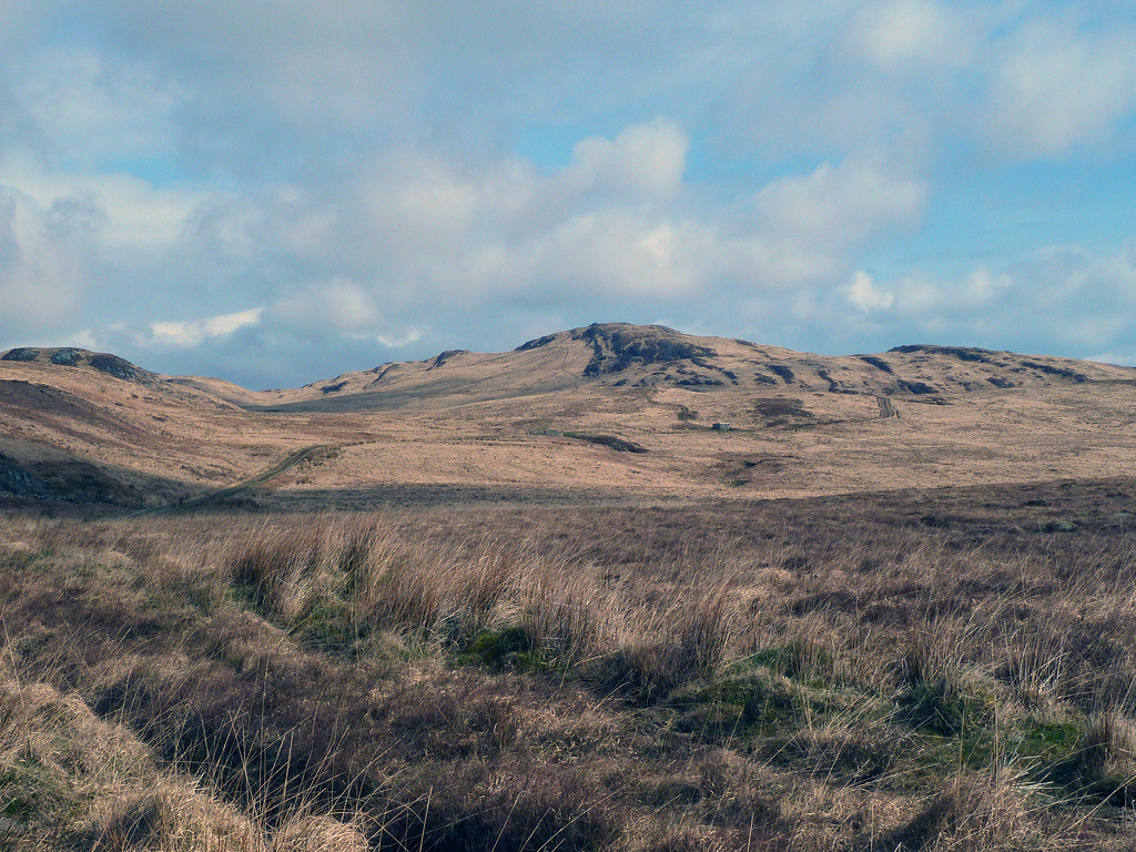
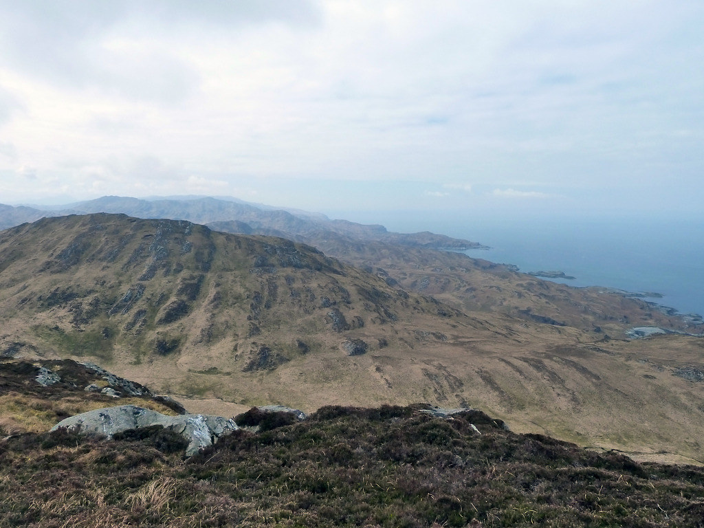
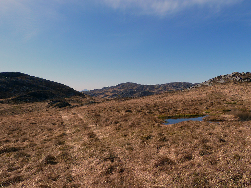
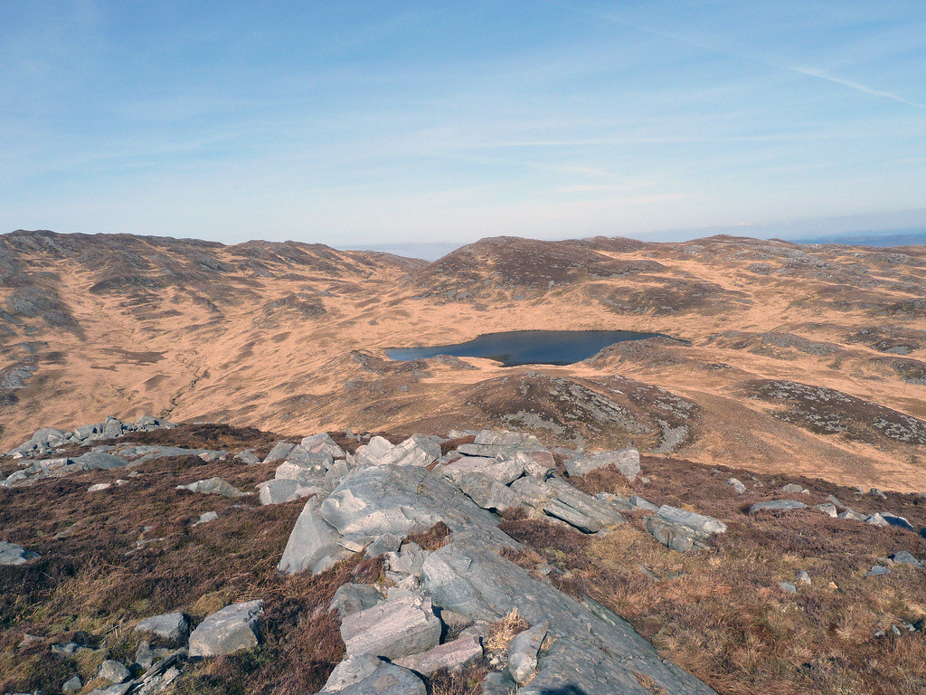
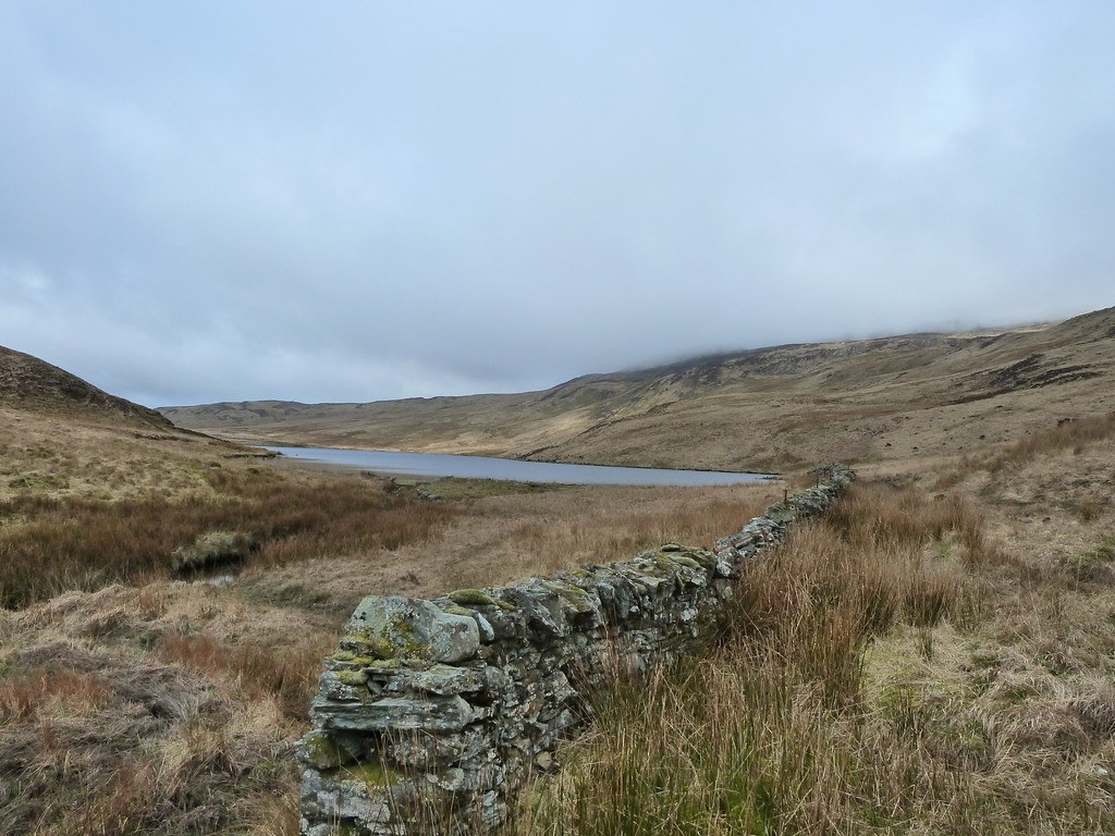
As we reached the base of Corra Bheinn, we could see Scrinadle, below
We made some attempt to climb higher and contour from when we met the bottom of Corra Bheinn, climbed last year,
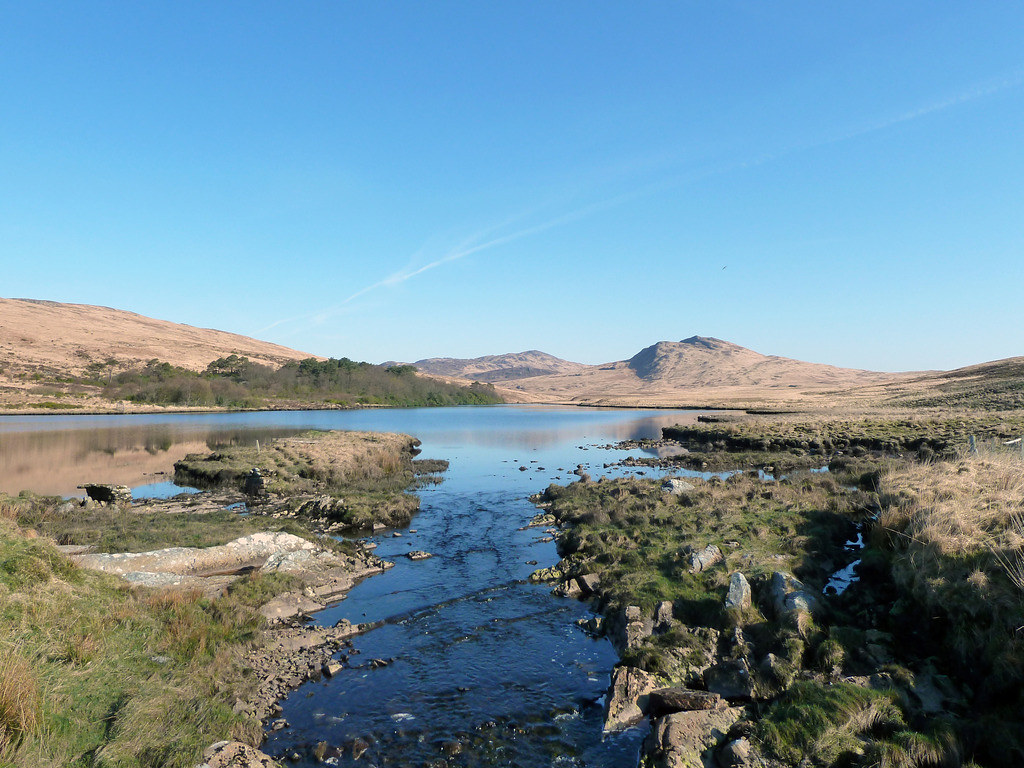
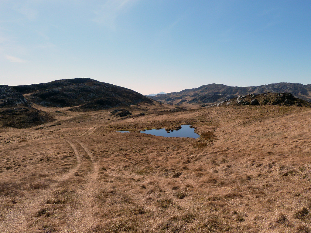
But soon gave it up and returned to the path proper until we were just above Loch na Rudarlaich Beag.
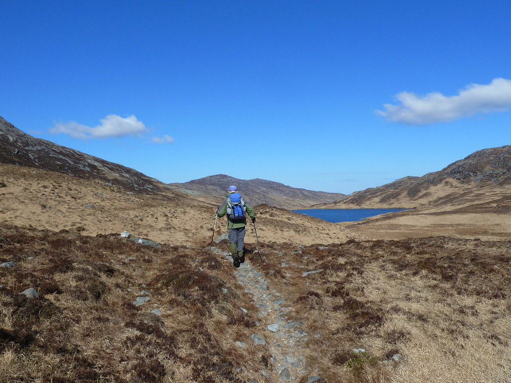
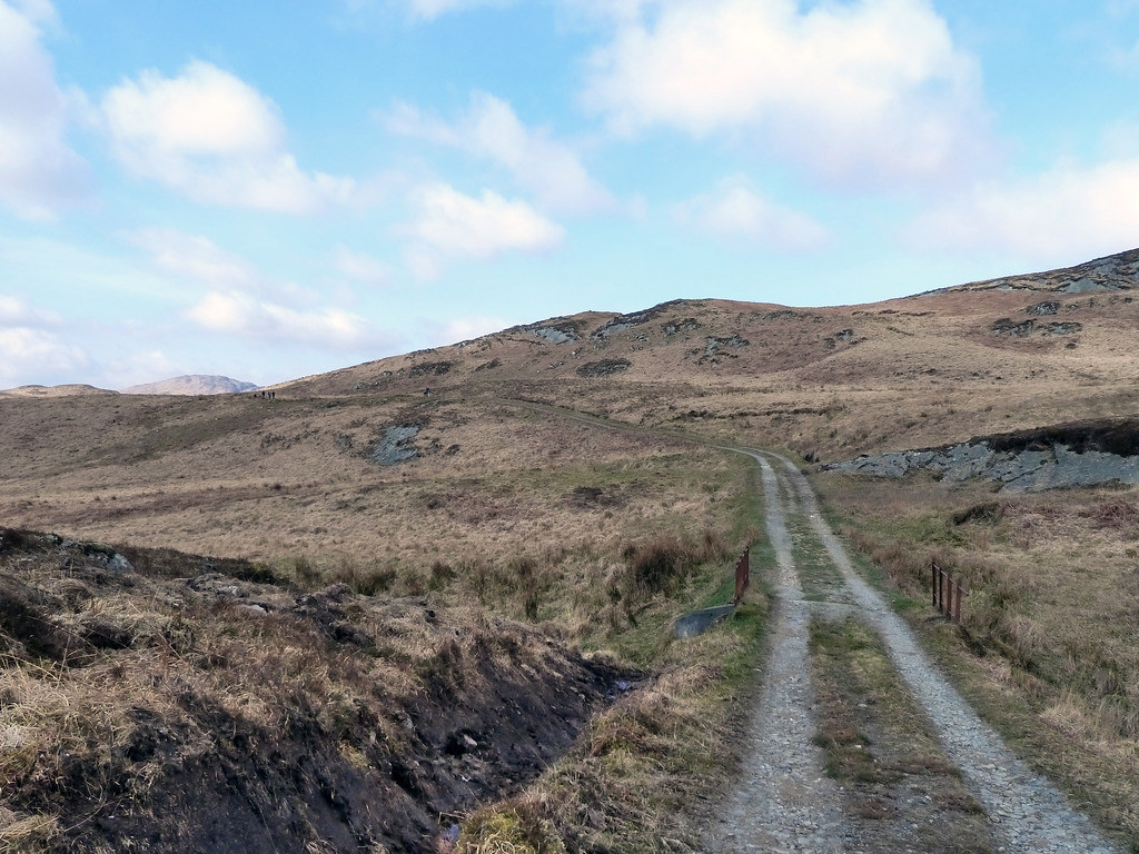
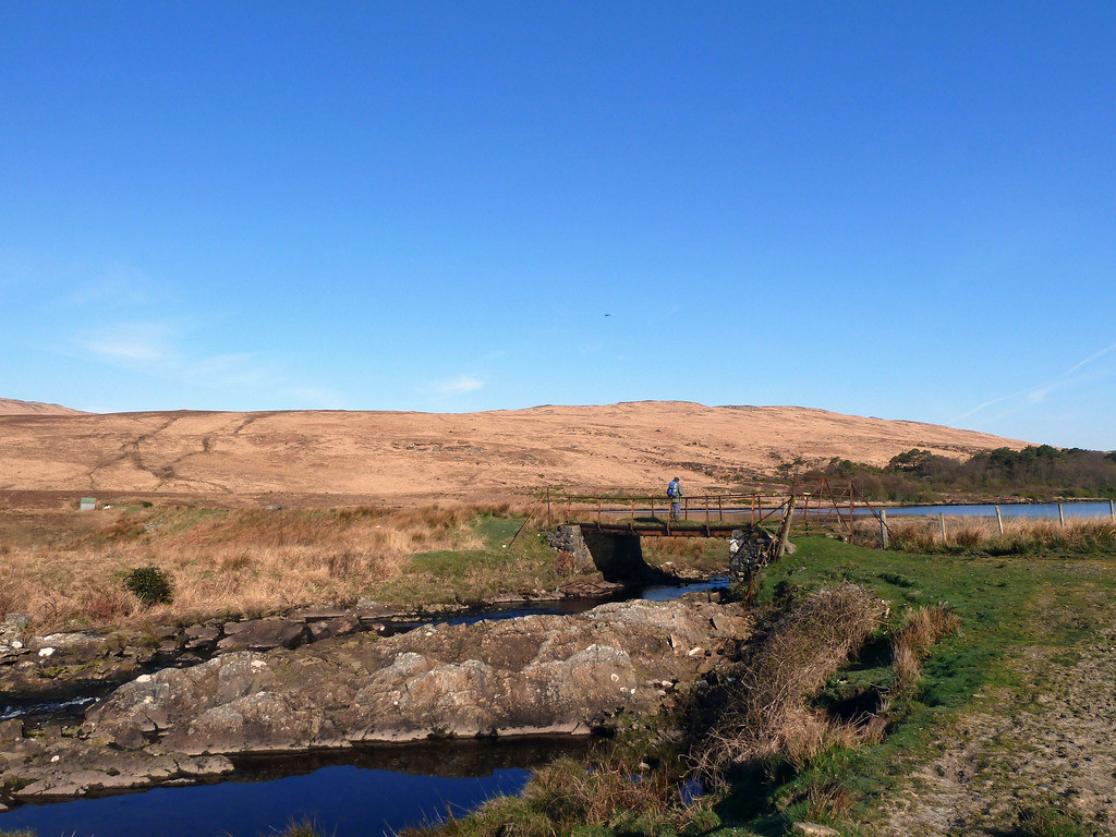
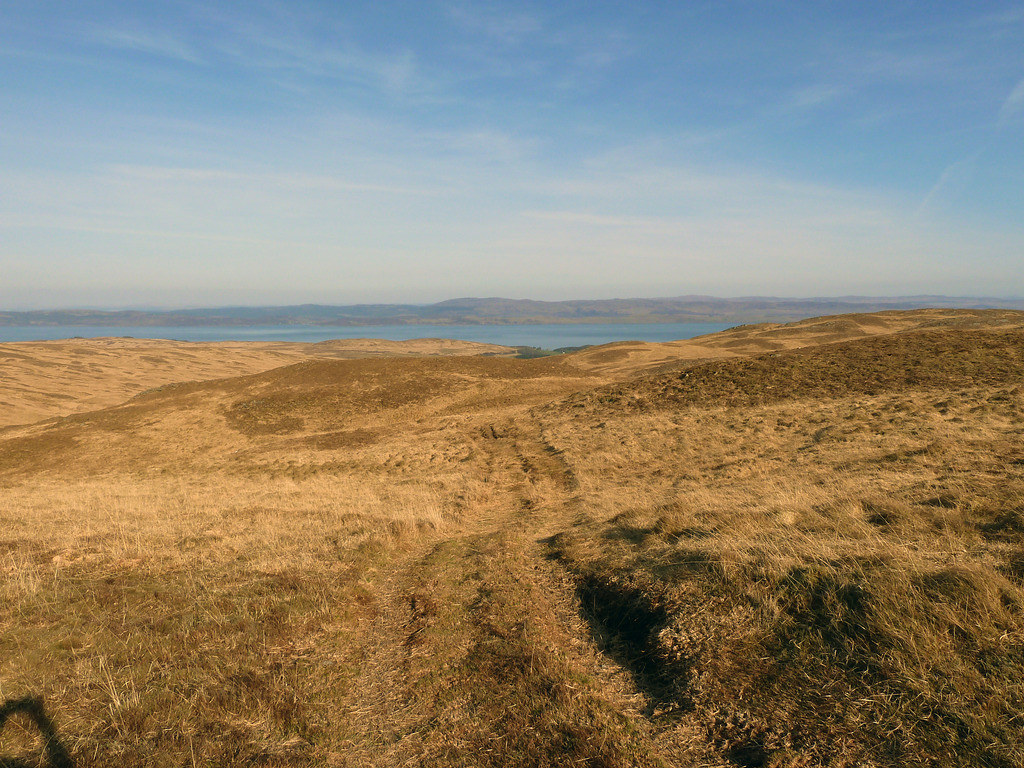
Here we veered set off towards Scrinadle and could soon see Beinn an Oir. Unfortunately we had to drop down and cross a burn before we could go up again
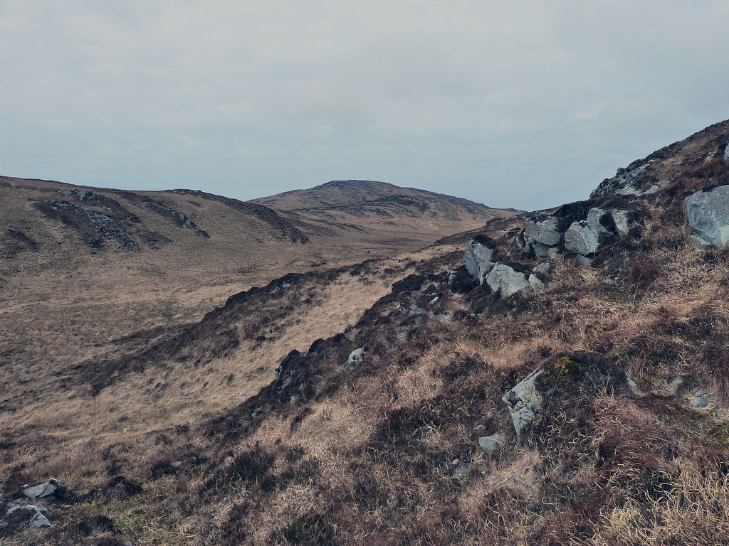
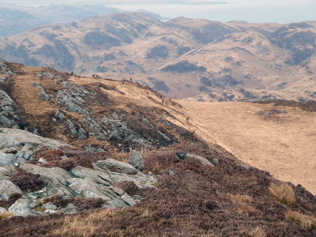
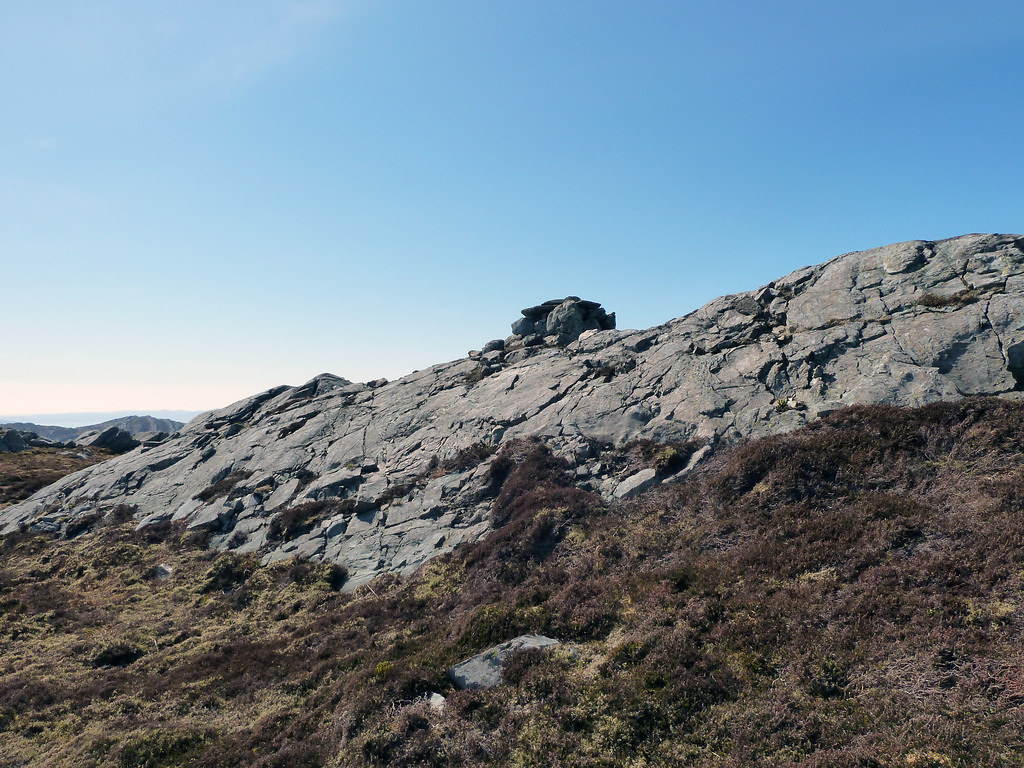
We climbed up to the bealach between Cnoc an Oir and Scrinadle
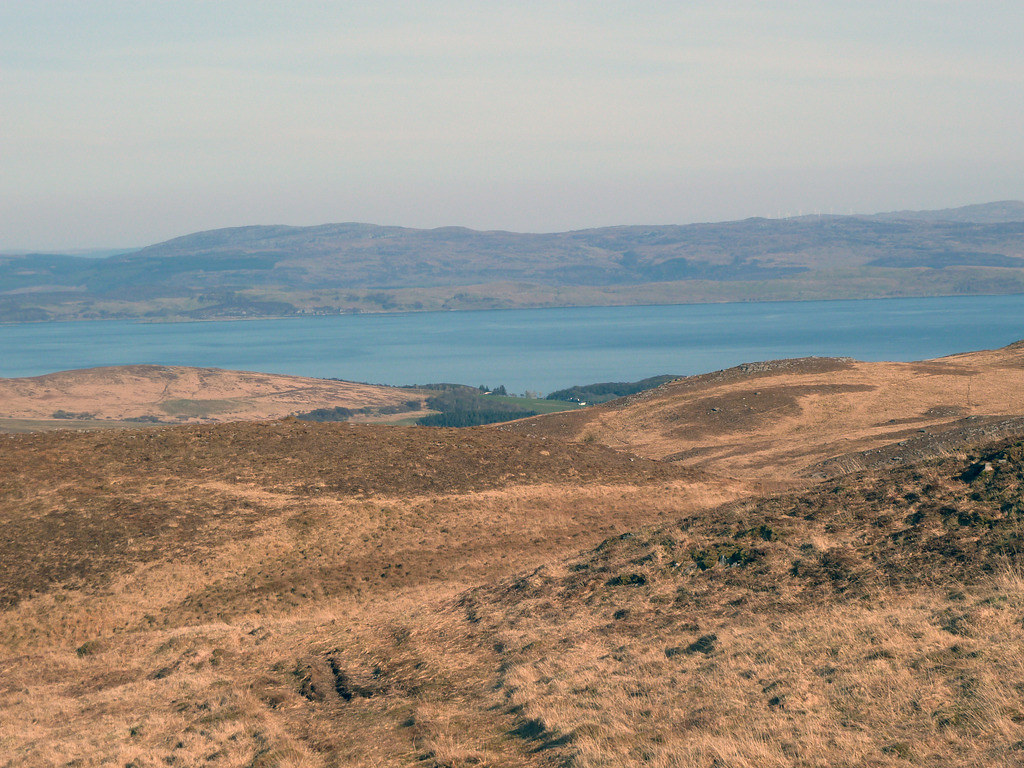
Once we could see the other side, we recognised the light house and Scarbh Breac (climbed the previous year).
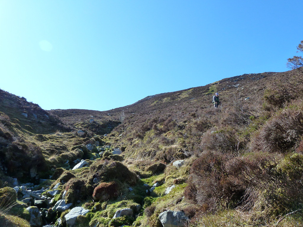
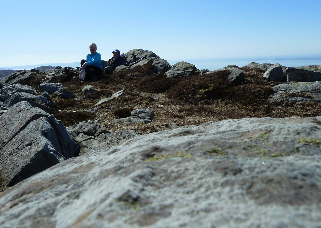
The ridge was very complex with several rocky ramps leading nowhere, and a few going where we wanted
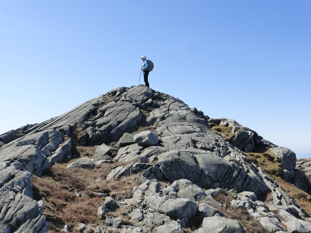
The summit we had been seeing was not the true summit, which was concealed on the western side. Below, R climbing up.(zoomed)
Below, Glenbatrick house is alleged to be connected to David Cameron though Wikipedia says
It is sometimes reported that the 20,000-acre estate is "owned by his wife's stepfather Lord Astor" although the ownership of the Tarbert Estate is in the hands of Ginge Manor Estates Ltd based in Nassau in The Bahamas and there is "no means of verifying" who the beneficial owners are. It is alleged that Christine Keeler and Mandy Rice Davis were hidden here to avoid the press at the height of the Profumo affair in the '60s

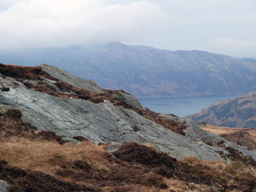
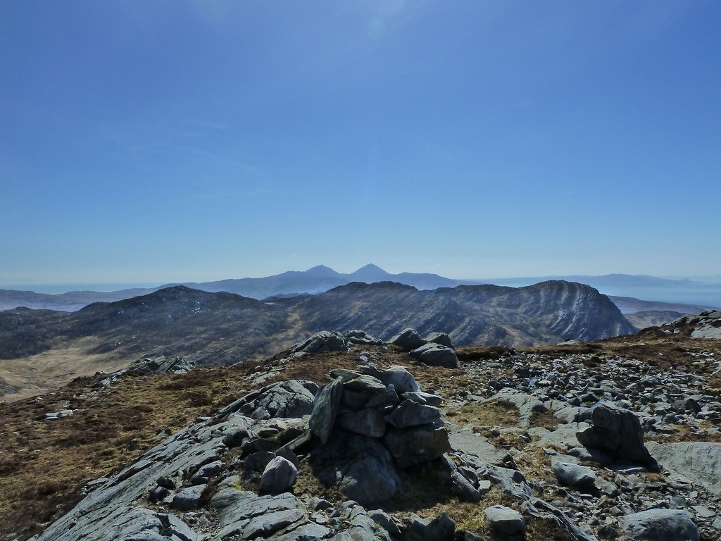
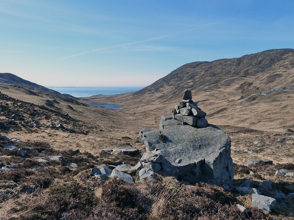
Below, the cairn, with Islay behind

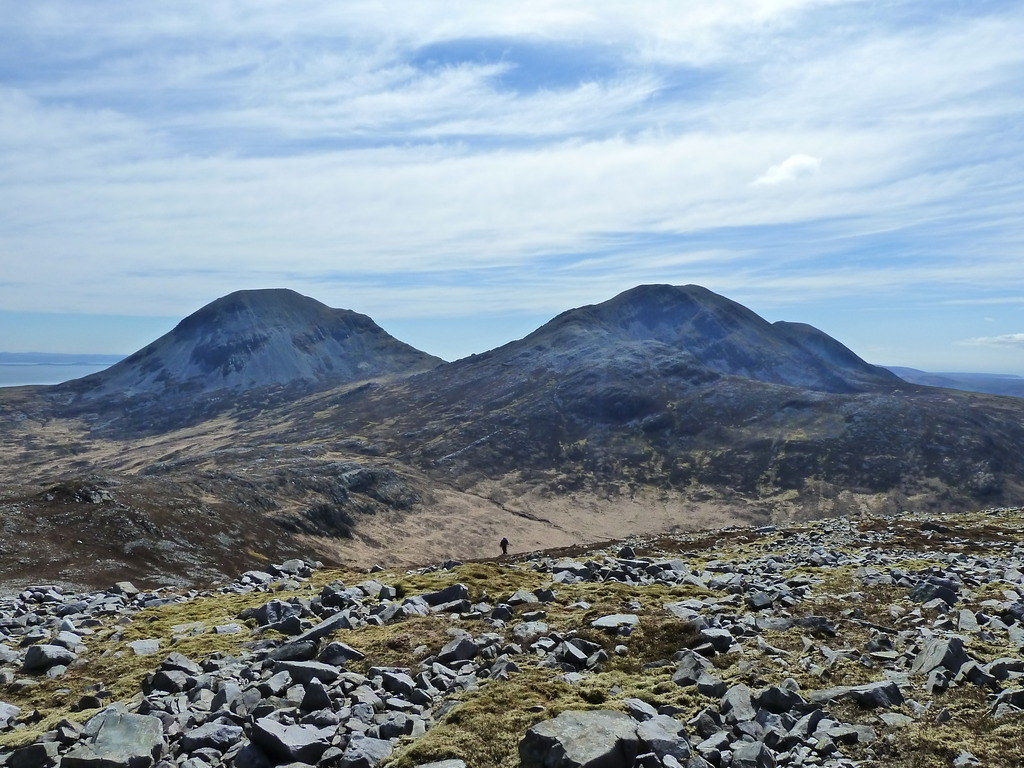
Below, Corra Bheinn , Beinn Shiantaidh and Beinn an Oir from left to right
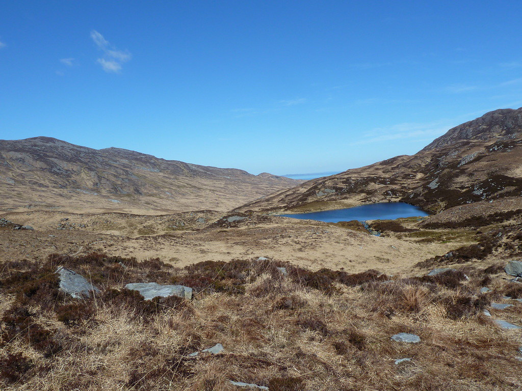
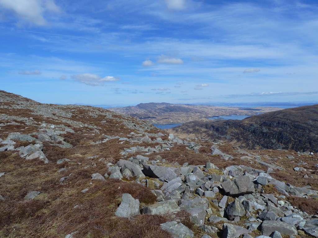
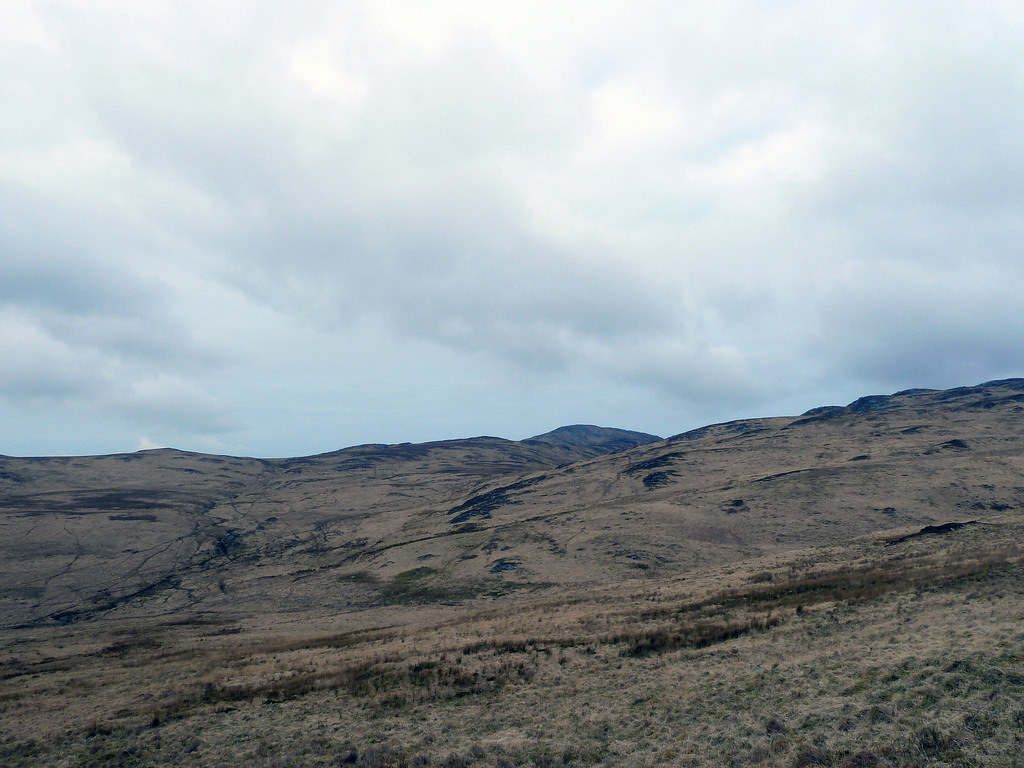
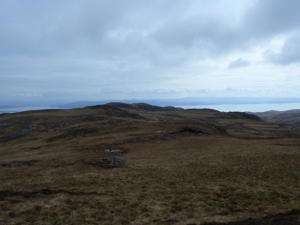
Below, looking north to hills we had yet to climb
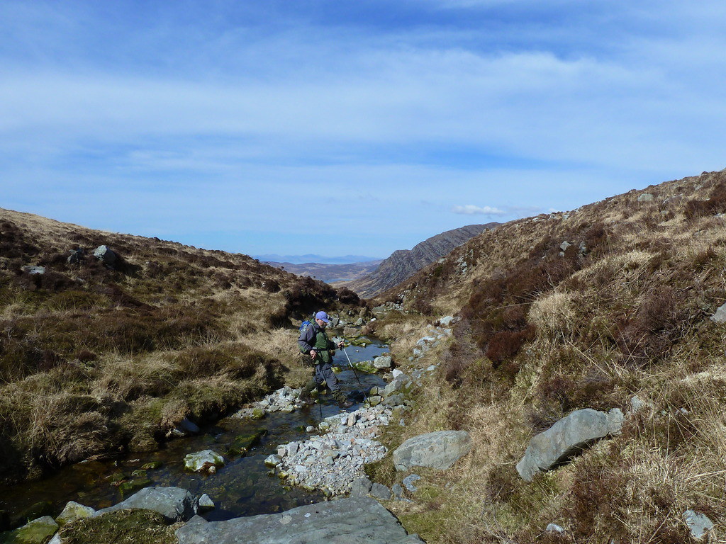
We returned the same way. Below, R fording theburn
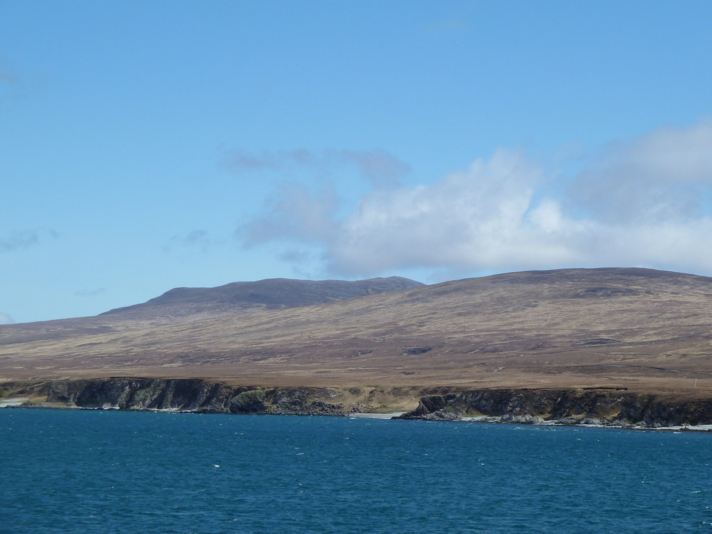
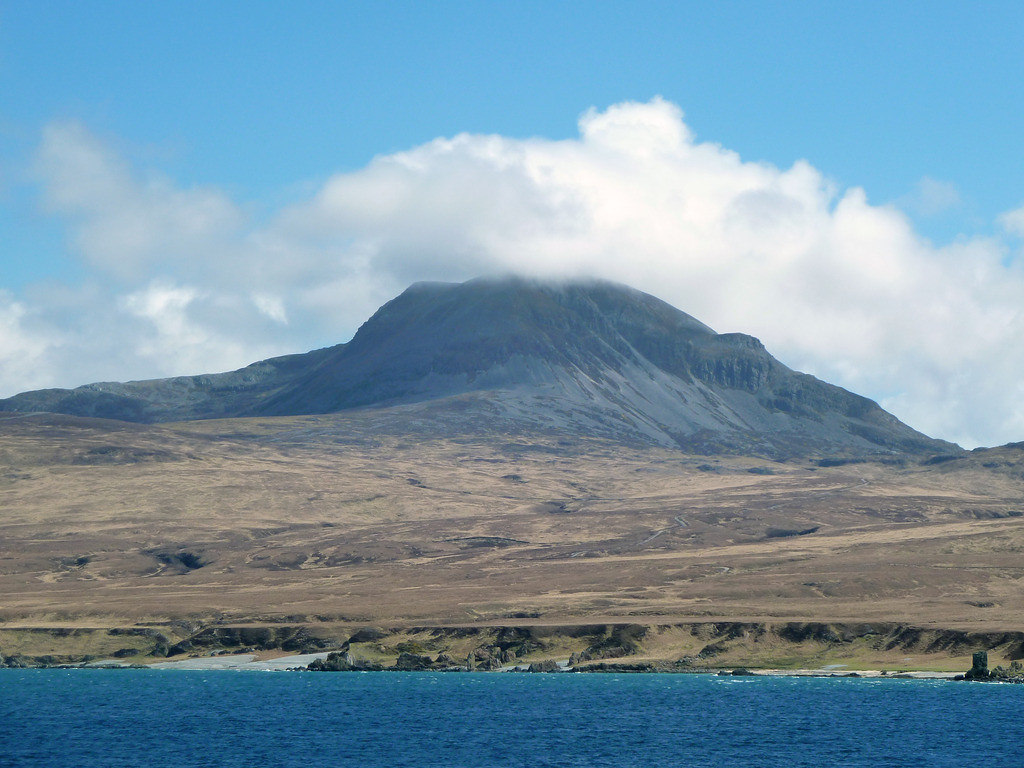
Below, as we left on the Macbrayne’s ferry six days later, we could pick out Scrinadle, lying anonymously next to The Paps
Despite our forays to The Borders where we had hoped to get fitter, we found this rather tiring, and although I had brought a frozen stew so we wouldn't have to cook, we could only manage soup. An easier day was needed for recovery, so next day we went to Islay. (To follow).
What? Cruach na Seilcheig
When?Tuesday April 21th 2015
Weather? Sunshine, some cloud, hazy,warmish, hardly any wind
Who? Sgurr and R
Distance? Cycling 4.8 miles, walking 4.1 miles
Ascent Cycling 538 feet, walking 1075 feet.
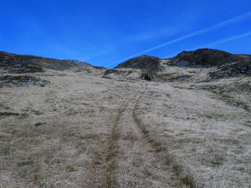
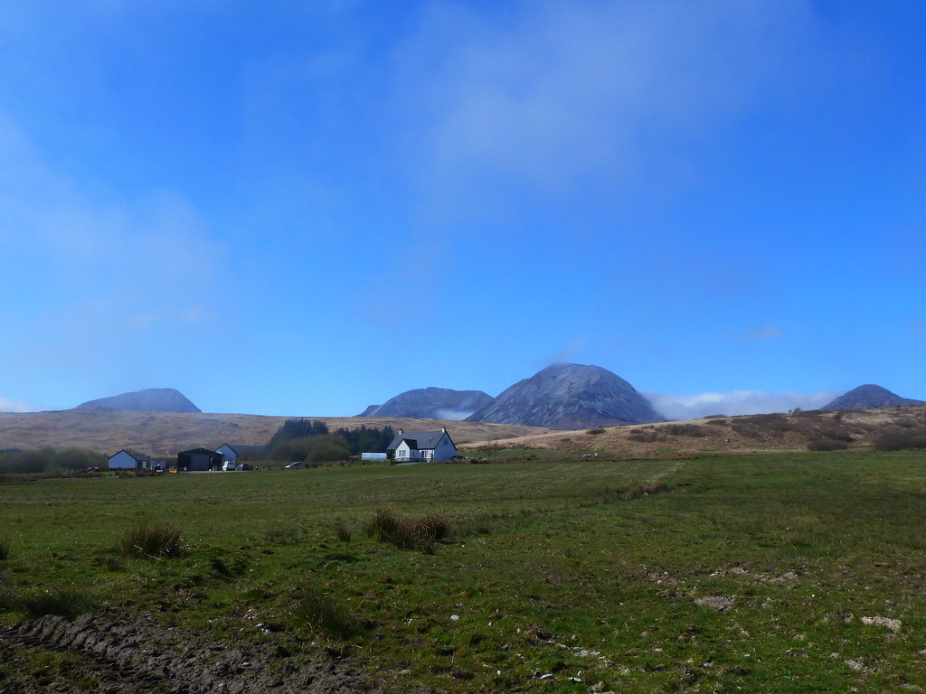
We always seem to stop and take a photo of the Paps from the start of Evans Walk, and every time it looks different. Today the clouds were lower, so we were glad we had chosen to do the lowest Marilyn on Jura. We drove on the the end of the public road at the north end of the island and parked there.

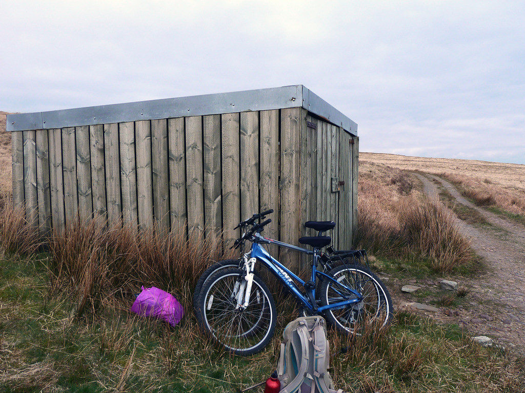
Somehow or other we had got it into our heads that the start was a l-o-n-g way from the end of the public road, and had taken bikes all the way on the ferry to use them only for this expedition. Usually we reckon that all the faffing around unloading the bikes, securing the rucksacks, getting into helmets etc. and then doing it all again the other end is only worth it for trips of at least 2 miles.
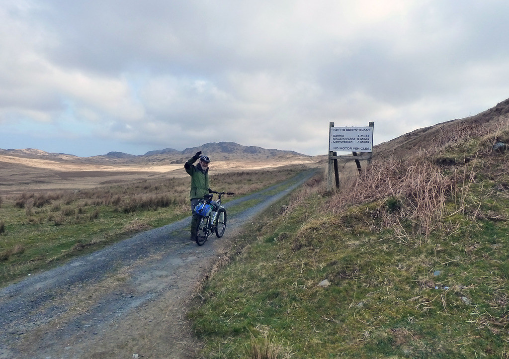
This trip just about qualified, but a party of four Swiss guys who arrived at the road end a couple of minutes after us were already far away up the path when we set out, and we only overtook them half way to the shed where we left our bikes (you can see them in the far distance).
A well-defined ATV track went up the slopes of Beul Leathad, you can see the building where we left our bikes below it
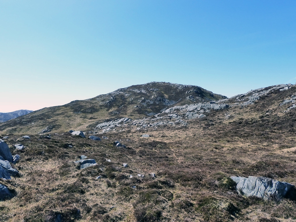
We followed it until we could see tracks the other side of Gleann Dorch going up Cruach na Seilcheig.
We should have branched out lower down, as we lost a bit of height doing it this way, and on our return found another track going direct, but it had looked so vague on the walk out that we had ignored it.
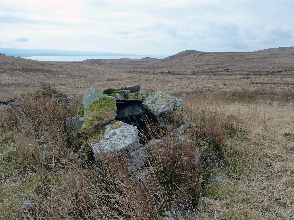
We found what at first we took to be a shooting butt, but is more likely the remains of a shieling or something older. On the other side of the track, hidden by rushes, we spotted a companion on our return. Celandines covered the track where the ground had been trampled.
We somehow mislaid the track on the route out and followed a deer track contouring around the hill.
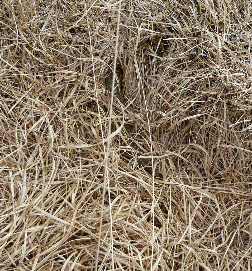
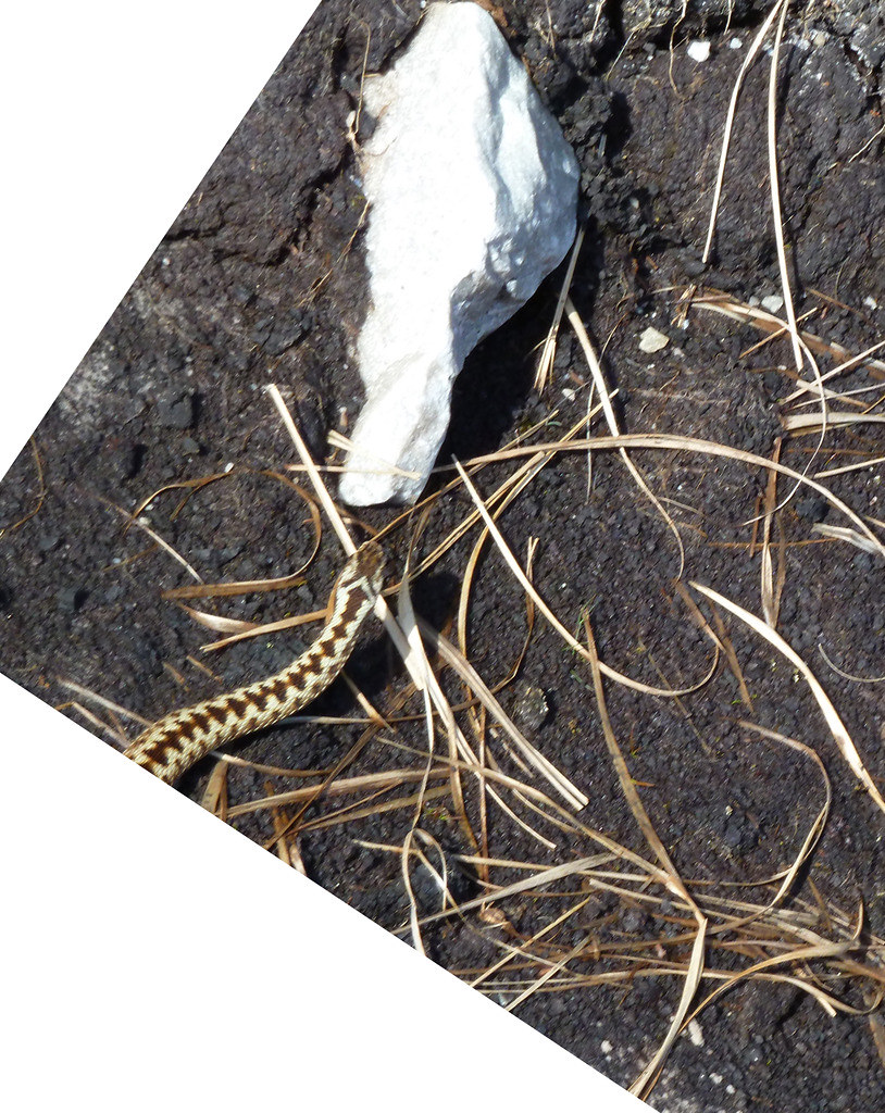
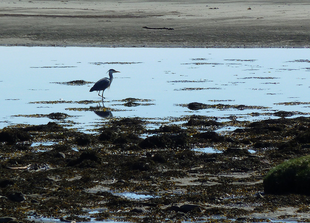
Here we saw adders, but mine, originally so neatly coiled in concentric circles stretched out and buried itself in the grass before my clumsy fingers could overtake it with the camera. R managed to stand still and try a photo. This is my rubbish photo of the adder that he disturbed.
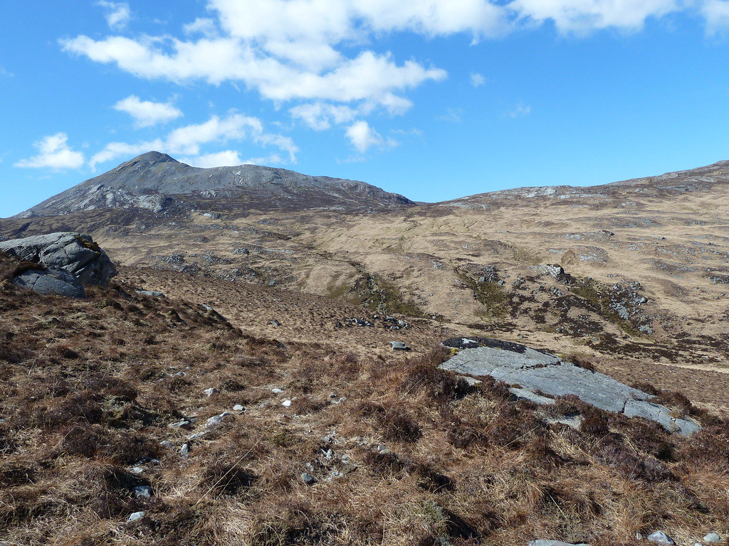
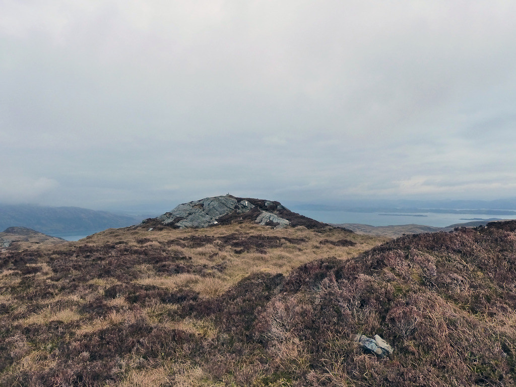
Eventually we were almost parallel with the summit, not the one marked on the map, and by the O/S with a Vanessa trig, but the one at NR 684980

We climbed up to the top and stopped to have lunch
Looking towards the hazy south with the rocks all layering down to the sea
Looking towards the O/S summit
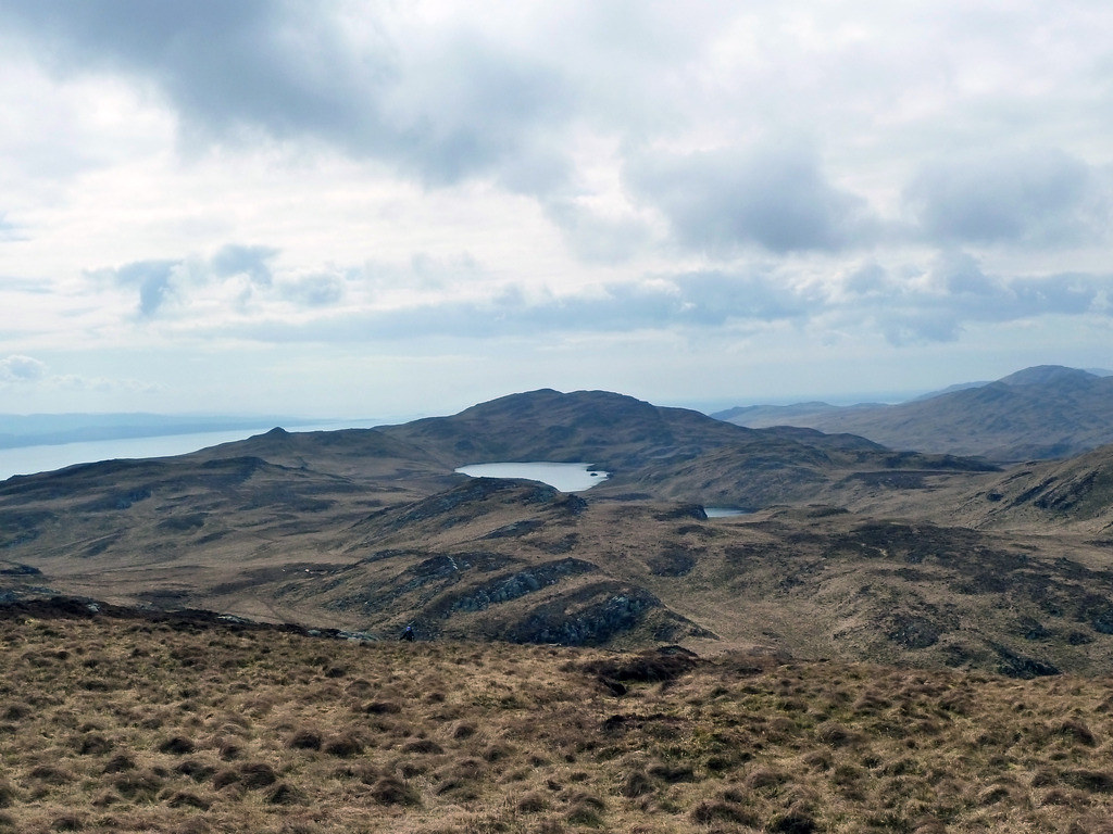
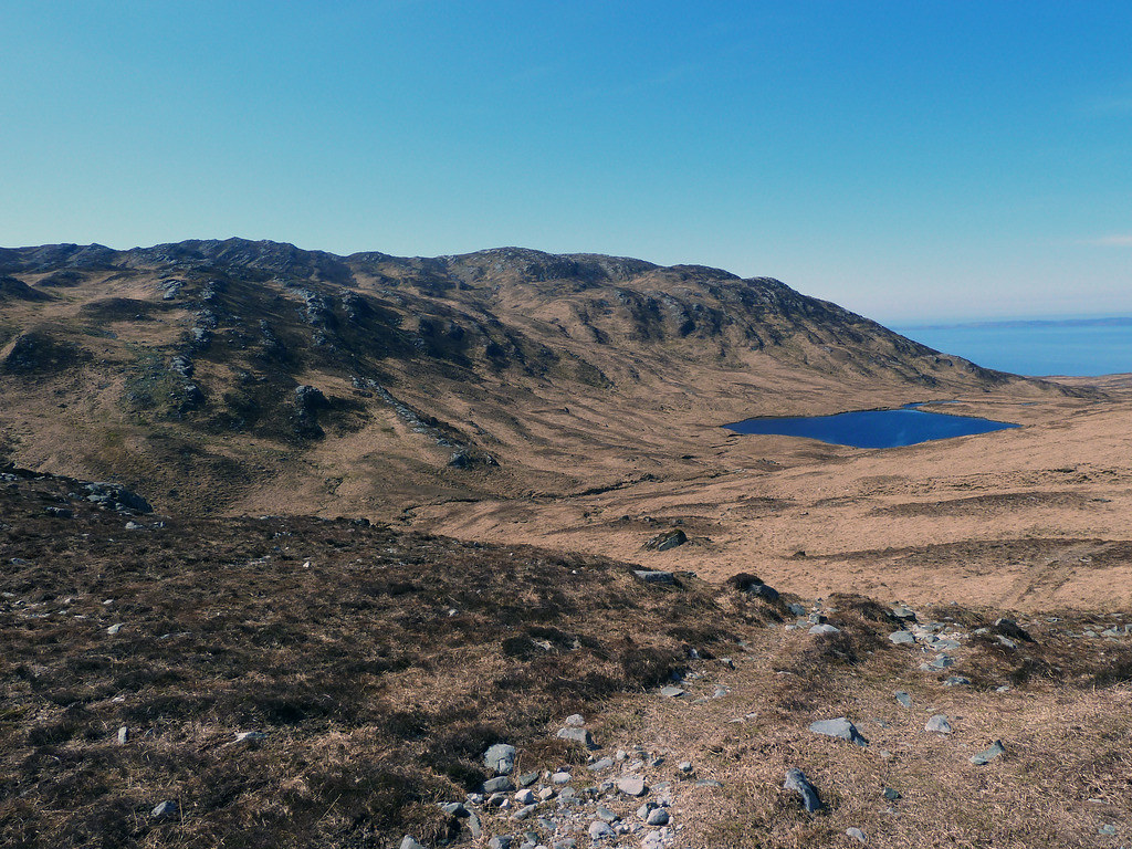
Sgurr Mhor and Loch na Sgorra
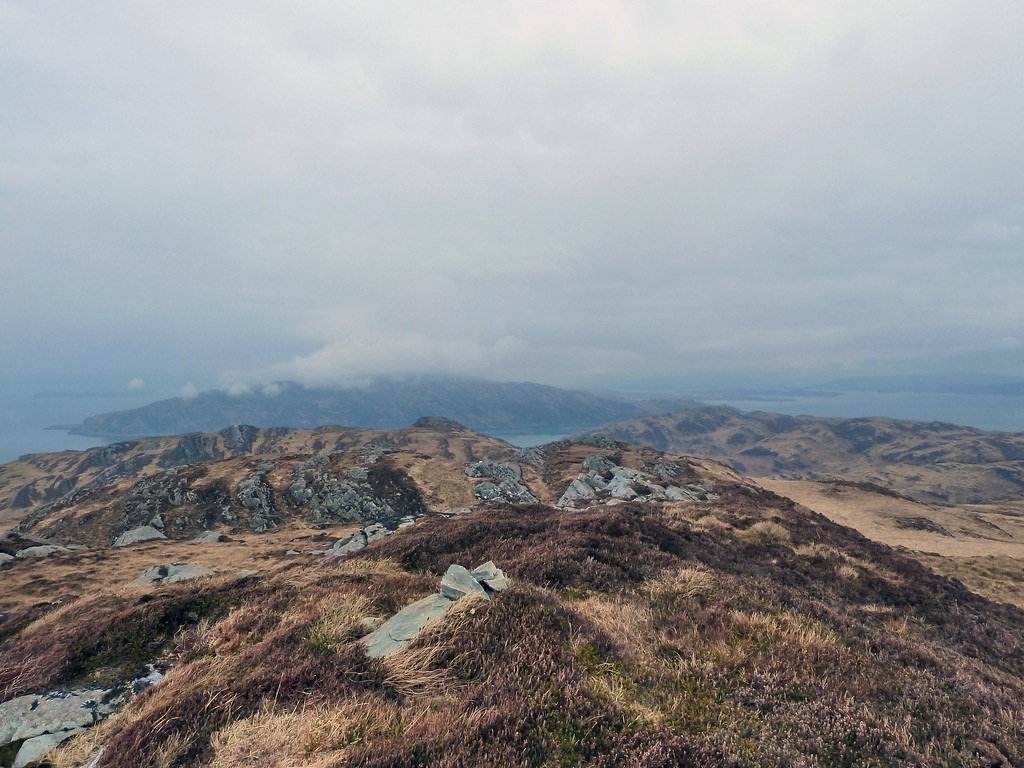
Towards Scarba
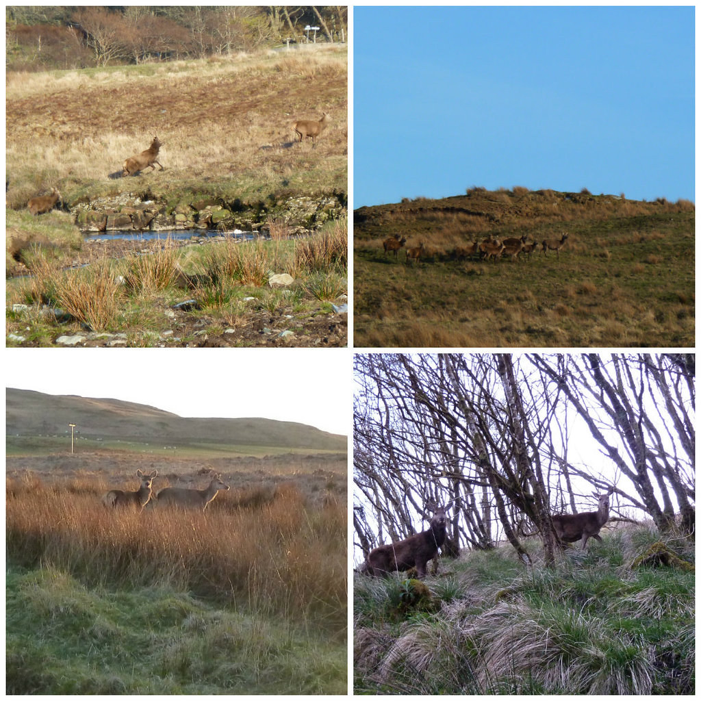
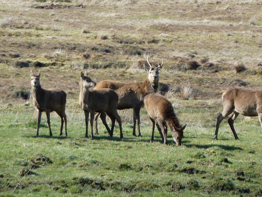
Deer just below ran away when R joined me
If this is the Coryvreckan Whirlpool, either the tide is not right for anything spectacular, or we are too far away to see it.
We made our way over to the O/S top with trig

Then we returned mostly via an ATV track that appeared and disappeared along the ridge and then across the way we had come
No one had disturbed the bikes
Back at the car, we had coffee and were about to leave when one of the Swiss guys returned. They had had a good day, and presumably spent some time at Barnhill. When I got home I looked up Cruach na Seilcheig, and it is the hill of the snail, or the slowcoach....very appropriate in this case.
I doubted if Orwell, had been able to climb Cruach na Seilcheig, since he was too ill with TB by the time he arrived at Barnhill to write 1984.Someone told me he had done some rowing, as he remembered a BBC programme about his time there. I was very sceptical, but looked it up, and found that he had a rowing boat and with his son indeed got into trouble. They had to be rescued by a passing fisherman. I had laughed it off as artistic license…but that would have been another channel.
What? Beinn Bhreac and Dubh Bheinn
When?Wednesday April 22nd 2015
Weather? Sunshine, warmish, hardly any wind. The cloud had lifted above the summits and almost dispersed.
Who? Sgurr and R
Distance? 12 miles
Ascent? 3200 feet
We had been looking at these two hills each time we had driven past up Jura's almost solitary road. Beinn Breac looked possible enough, but R didn’t know if his dodgy knee would carry him on to Dubh Bheinn. He had read on someone’s blog about taking six hours to get back to the car from the summit. (I have tried to recover this blog, and think he may have dreamed it, and anyway probably think it was some superfit walker who did the whole lot in six hours).The terrain of the moor between the road and the summit, with an extra ridge in between, made doing Dubh Beinn on its own from the nearest part of the road look difficult. There was possibly a way starting either side of the forestry plantation at NR 615813, but nothing obvious.
Eventually R agreed that if we got to the summit of Beinn Breac in decent time, we would attempt to carry on to Dubh Beinn. I was quite pleased as it should mean two new green ticks for the sub 2000 index: it has become harder to seek out terra incognita recently.
I had looked at Google Earth and had thought that I had seen the track marked on the map continue onwards towards Beinn Breac. A look at the terrain made us realise that cycles would be no help at all.
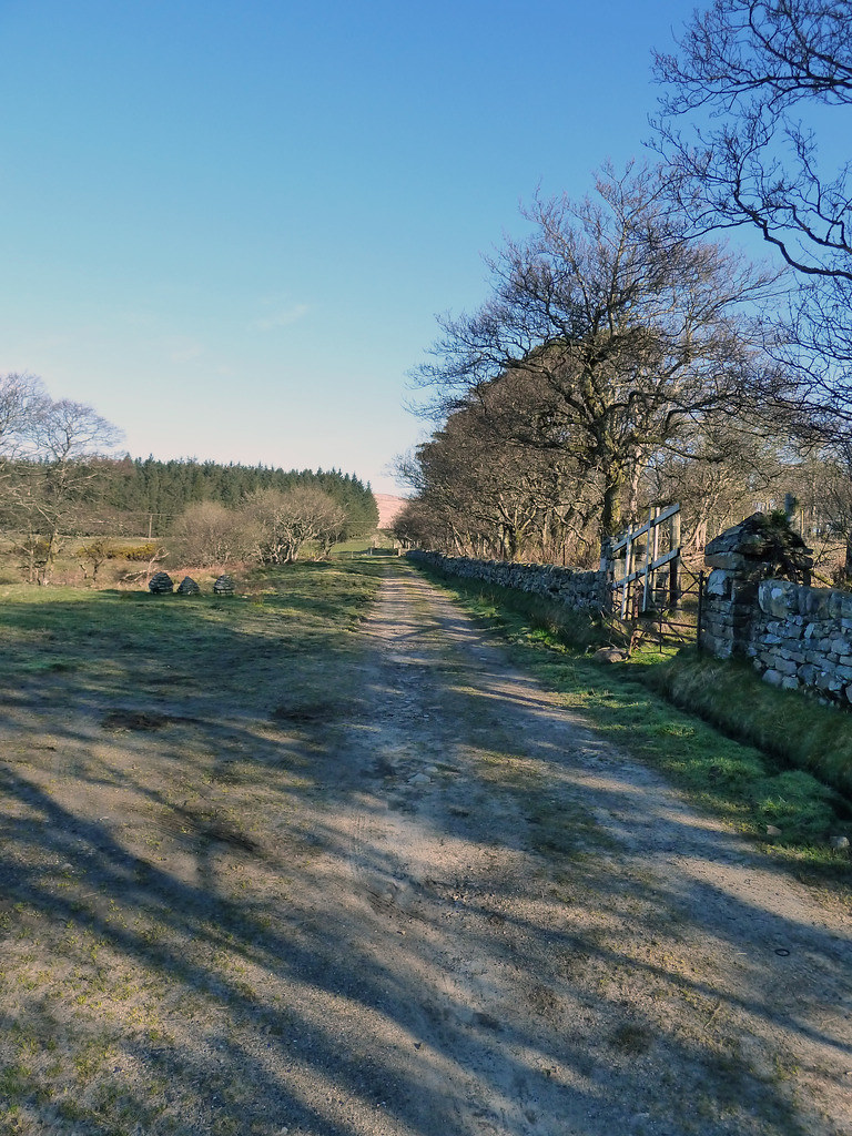
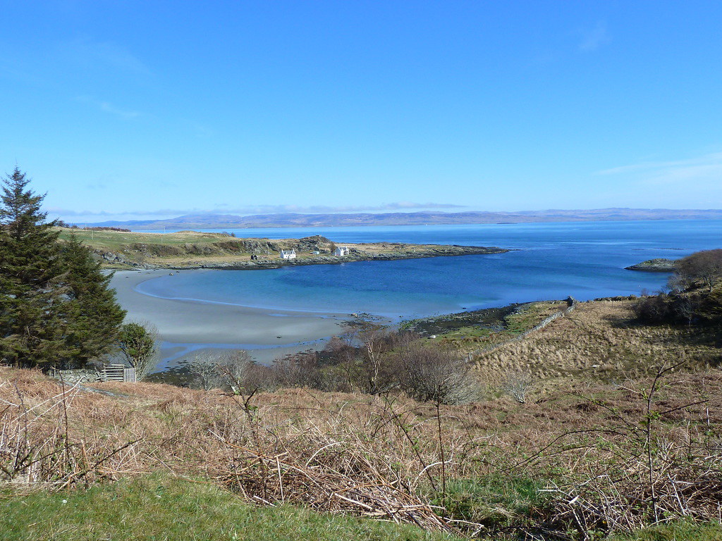
We parked at Ardlussa and set off up a stony track towards the Fishing Loch.
The track crossed the bottom of the Loch
Then it went uphill. We had to take care to follow the track going left
Which took us across the burn at a bridge
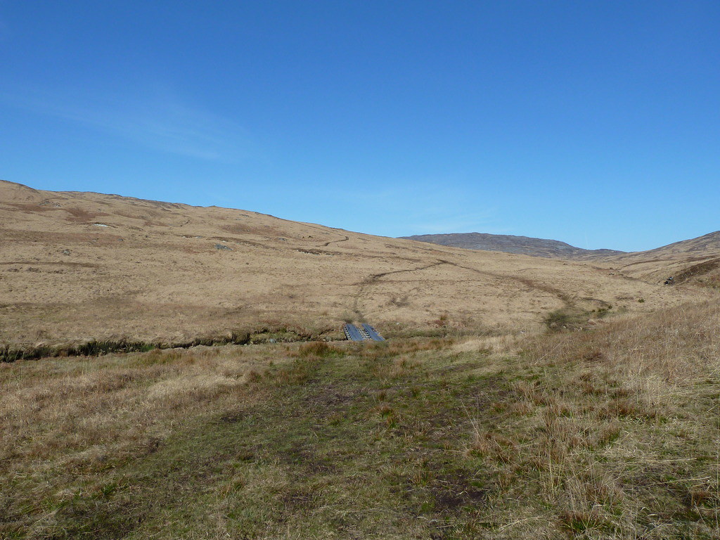
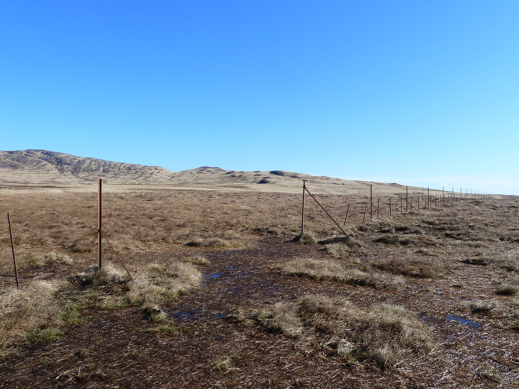
There is no point posting my many photos like this, since we went squelching across the hill for mile after mile, each step looking very similar: basically a damp wide ATV track across dead grass, with a few rocks thrown in here and there for good measure. Though the minute we got complacent, a bog would appear and threaten wet knees at the very least. However, this was eminently preferable to fighting our way through Jura untamed.
It still carried on beyond where it is marked on the map, and up into Beinn Bhreac itself.
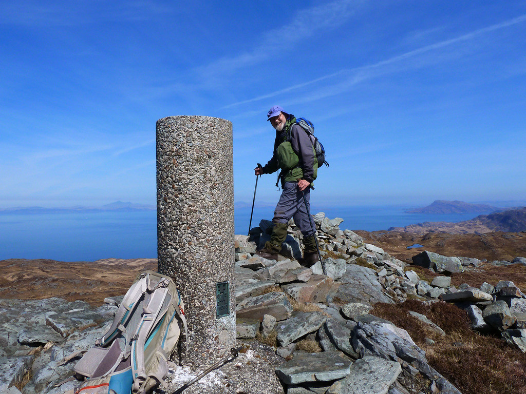
In fact we followed it almost to the trig(another Vanessa* confirming that we were a long way from anywhere), where we arrived for lunch spot on time at 1 p.m. We ate half a sandwich and some Cup-a-Soup here, and left the rest for later
Looking southwards towards the Paps and Dubh Bheinn. In the foreground is another candidate for the summit
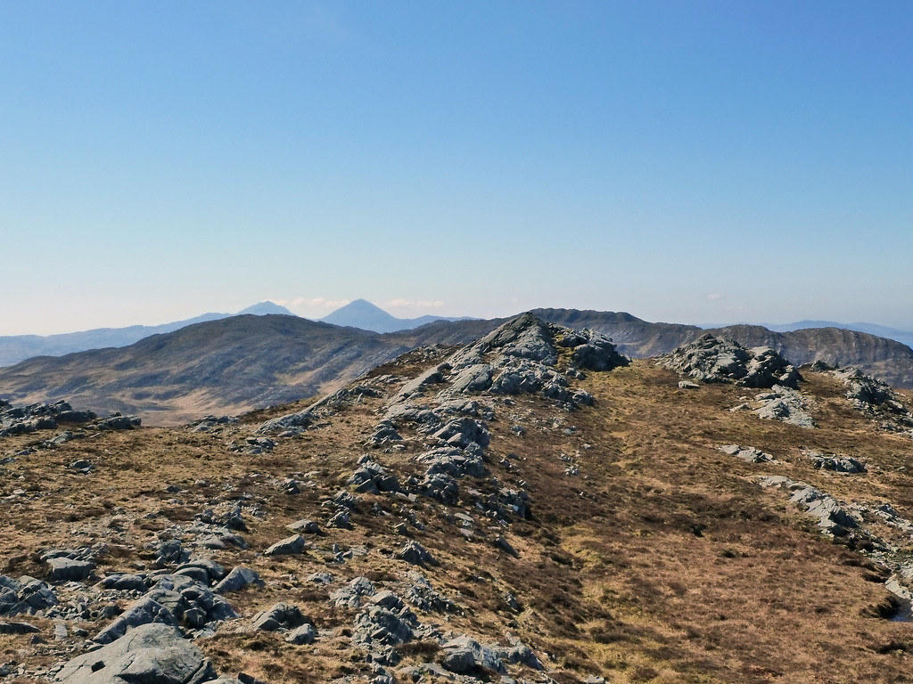
We wandered around the summit area, and thought this was possibly the high-point
R agreed that we should take advantage of the terrain being far easier than he had predicted to move on to the second hill. From the summit, we followed the instructions in The Cicerone guide, the only part that had been of any use to us at all, since the writer prefers long back-packing days down the spine of Jura, and we prefer smash and grab Marilyn raids from the road. I’m sure that it works very well for those with the same agenda, but not our slightly warped bagging one.
We followed the track down again and then continued on another track towards Dubh Bheinn contouring round Cnoc Tigh Sealga. At least, that was the plan. I was so pleased to find such a fine track that I continued on and R was unable to make me hear until I stopped to wait for him.
Not much damage was done, and we doubled back to another track climbing up to the bealach between Cnoch Tigh Sealga and Dubh Braighe, then we turned to tackle the mile long ridge between there and the summit. It was a complex ridge with many slight changes of direction,
Eventually we were sitting on top. I’m afraid that although I have mastered the timer on my camera, I forgot to position it so that it wasn’t pointing directly into the sun. Here we had the rest of lunch
First summit (there was a parallel possible summit, co-ordinates given in the Cicerone guide, but I think this is it)
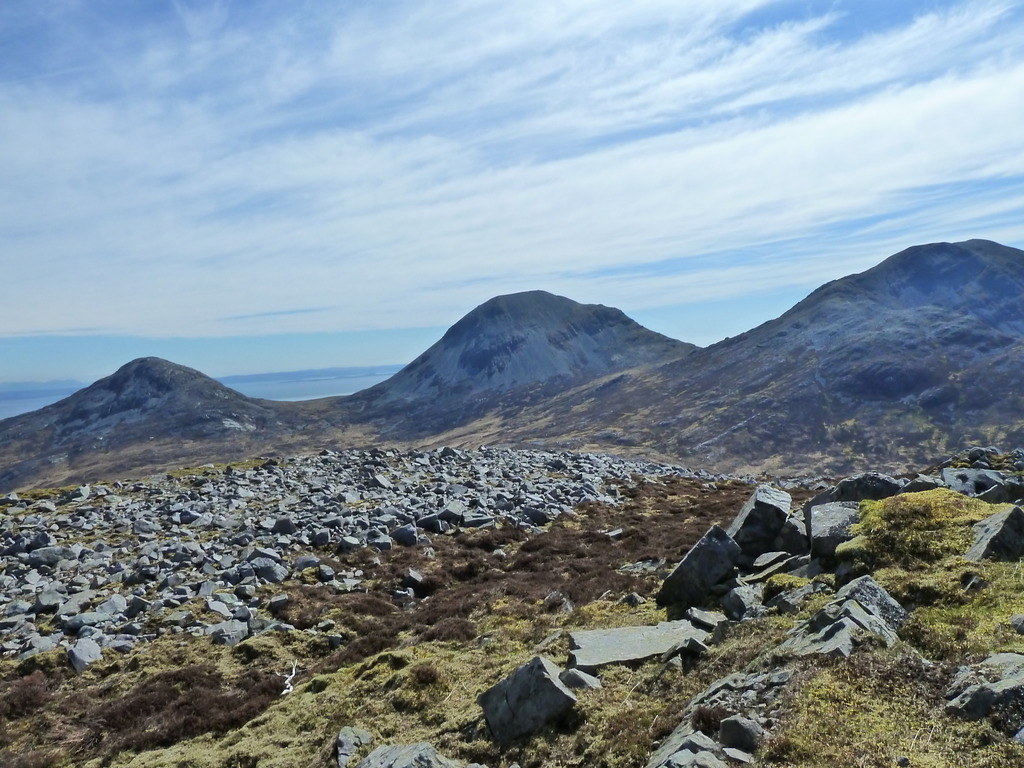
Looking south towards The Paps
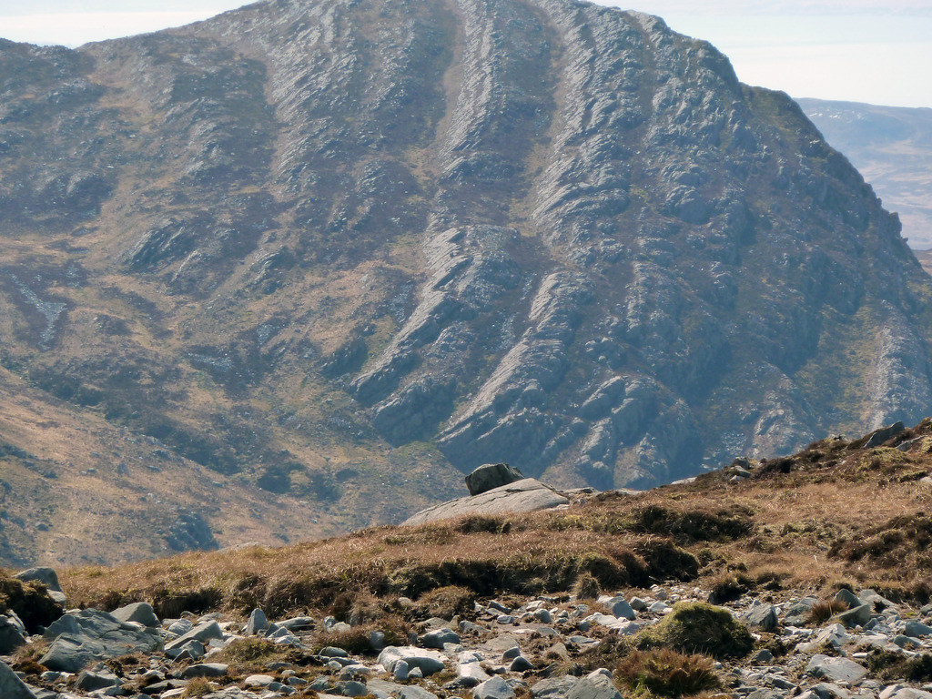
More Jura rock (zoomed)
We returned the same way, though this time sticking to the western end of Loch Tigh Sealga.
Looking down to Loch Tigh Sealga, beyond it is Cnoc Tigh Sealga round which we still needed to contour back to the main track down.
En route from Dubh Bheinn to Loch Tigh Sealga, looking out to sea
Near the Beinn Bhreac end of the path, I found another adder. Here is my shadow trying to avoid it
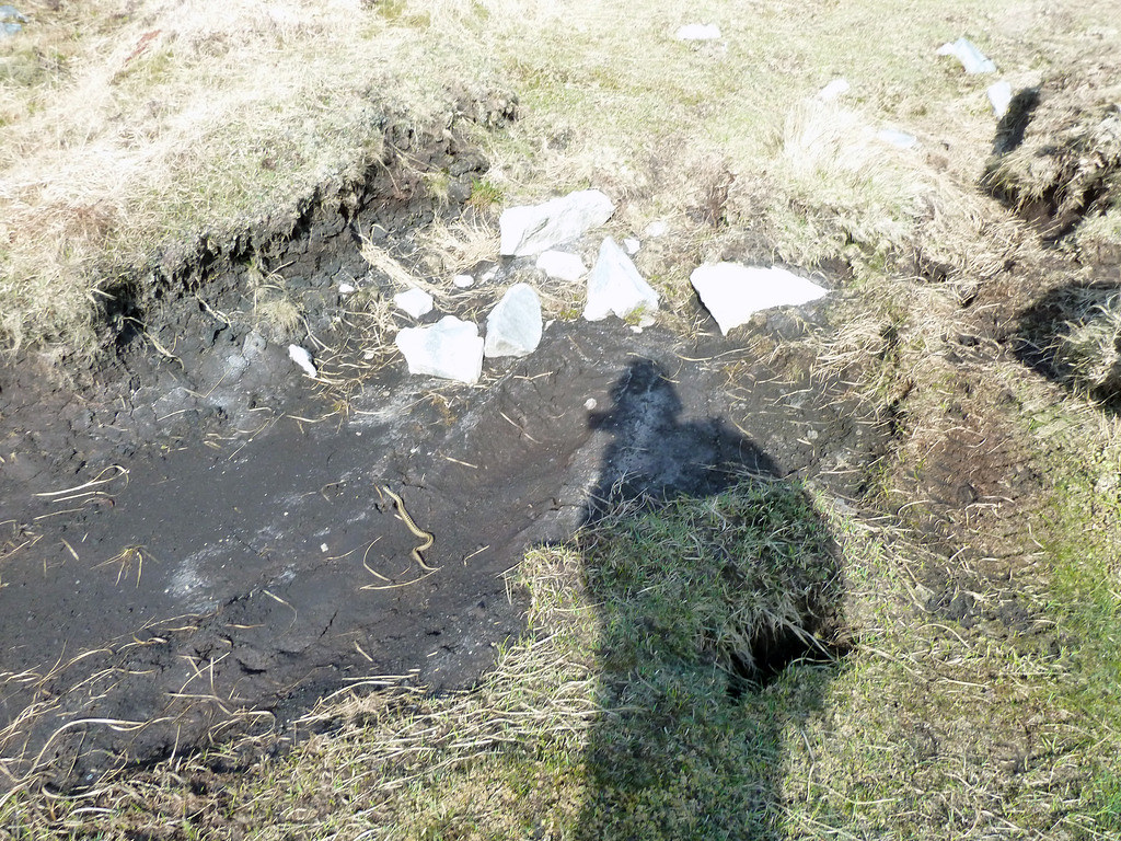
The viewfinder in my camera was useless due to reflecting light, so I dashed off photo after photo on zoom hoping to get it, and took portraits of endless patches of peat, groups of stone and bits of grass, but here is the half adder, I DID manage.
Below, at last the end is in sight
Below, almost back to the car
The reducing light lured out numerous deer, and we saw group after group as we set off homewards.
The whole expedition took us from 9 a.m. to 7.30 p.m. I had kept looking behind to see where R was, and it turned out that as well as a dodgy knee he had been harbouring a stonking cold, which the next day made him so dizzy, he could barely stand. So a second outing to bag Dubh Bheinn separately would not have been possible. However, for those who would still like to do these hills one at a time, I have now discovered (from the Explorer O/S map) that convoluted ATV tracks take you from near the forestry until somewhere on the south west of Dubh Bheinn. I’m only glad that R didn’t know in advance, or we would have been coming away with more than Cruach Scarba still to do. There is no straightforward way of doing this from Jura, and it has to be tackled expensively from the mainland.
The next day R’s cold forced us to be tourists, driving around bird-watching etc,
Later we had dinner in the Jura Hotel

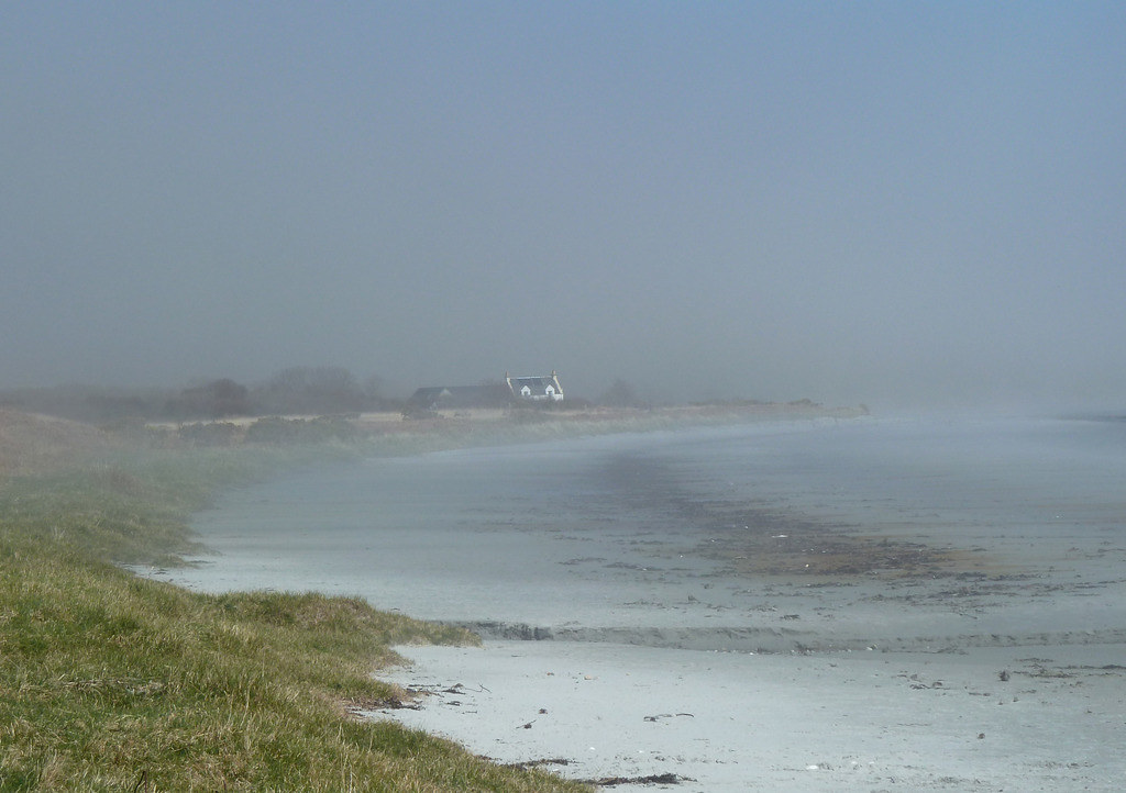
We walked up to the Market Loch( Loch a’ Bhaile Mhargaidh) on the last morning, before light rain set in
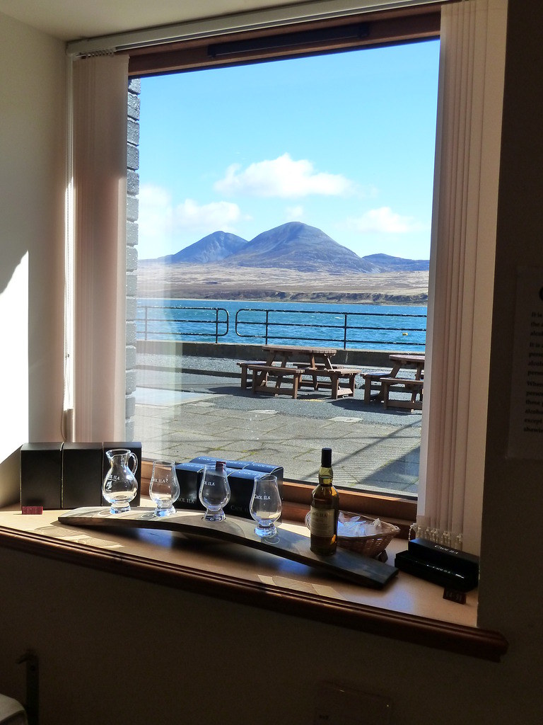
The only real rain of the holiday came overnight on the Friday. We set out on Saturday from Craighouse, past a modern electronic signal that said “this sign is not in operation”, to catch the small ferry back to Islay. We waved Jura “goodbye” from the Caol Ila distillery near Kennacraig and its eye-poppingly expensive whiskies, and from the Calmac ferry.
It’s sad to think that we probably won’t be back until we have bagged the Marilyns on the other islands. Despite the rugged terrain (or maybe because of it) Jura is something special.
*Vanessa
trigpointing wrote:When at a late stage the secondary triangulation had progressed to the Highlands of Scotland, it was necessary to design a new and lighter pillar, cylindrical in shape, in order to avoid excessive transport costs. These round pillars, usually called 'Vanessas', or sometimes 'Branders' or 'Kelsey Columns', were considered "less aesthetically satisfying" than the standard pillar, so they were only placed in inaccessible locations to "reduce the risk of criticism from the more sensitive element of the population to an acceptable level."
'Vanessas' are so called because of a mispronounciation of 'Venesta', the name of the company which produced the tubes which the concrete was poured into. 'Kelsey' was the officer who commissioned the design of these pillars.
