free to be able to rate and comment on reports (as well as access 1:25000 mapping).
Don't we love it when a plan comes together, however the plan for the weekend was changed and even then it all kind of went pear-shaped

All will be revealed

I had booked myself into a B&B at Dornie with the intention of attending Seana's (basscadet) compleation on Beinn Sgritheall on 20th June. I saw this as a great opportunity to tackle the Sisters on Friday & then Sgritheall on Saturday, so the plan was all sorted.
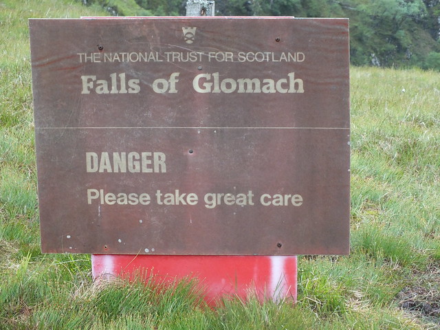
Spanner in the works in the form of a leg injury sustained after my latest trip to the Cairngorms last Monday, I was in agony on Tuesday and could hardly walk, as the week progressed things really improved. I still wasn't confident about tackling the Sisters as that would be quite a long day, so I created plan B after studying the map, I hand picked A' Ghlas-bheinn as that looked like a nice easy day, even adding on the Falls of Glomach.
Arrived at the parking area in Morvich and the weather wasn't really playing ball, it certainly wasn't warm and there was a bit of fine drizzle. Set off with my jacket on and 2 layers underneath and after about 20 minutes I was overheating, the drizzle had stopped and it suddenly got much warmer, so it was down to baselayer.
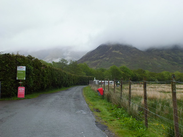
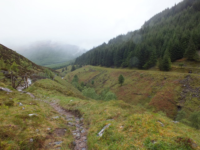
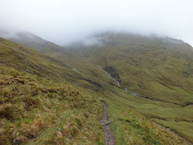
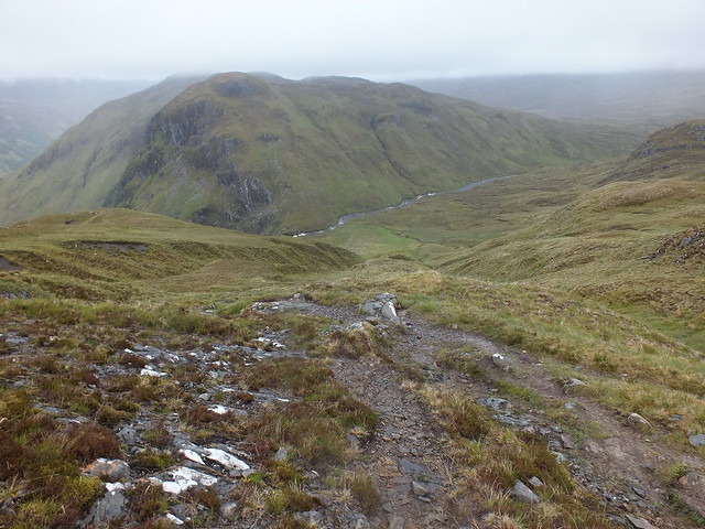
The way ahead
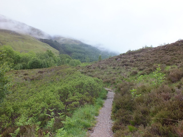
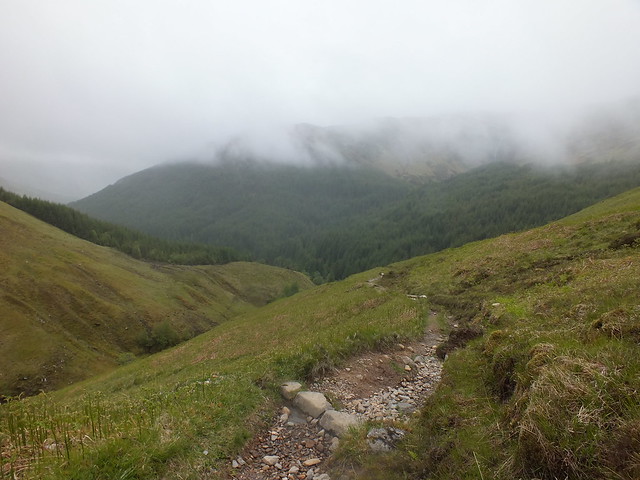
Good path initially with plenty of damp patches & puddles
One of the many gates ahead
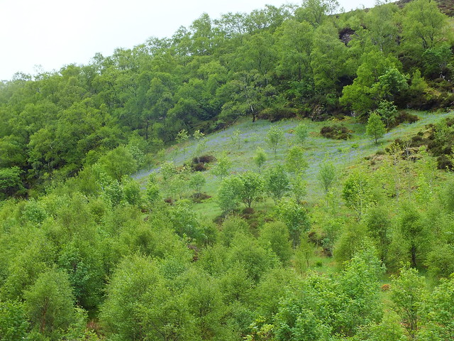
Everything is nice and green and growing rapidly
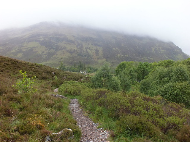
Looking back
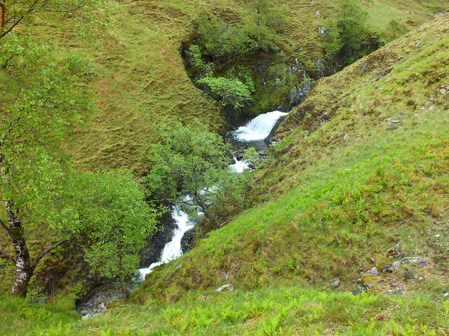
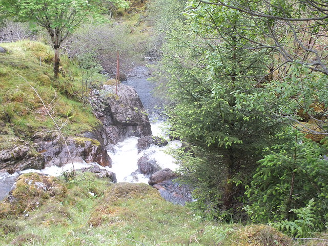
Allt Choinneachain lower down
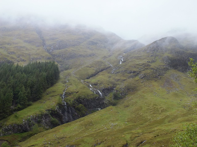
Burns coming down the hillside
Another burn
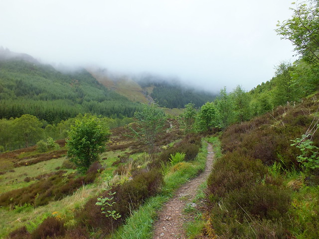
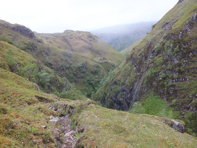
The way ahead was straight forward, just a matter of following the path which climbs very gently uphill. Once outwith the forested area the surrounding scenery changed to rolling grassy slopes, with numerous burns running off. One of the first things I noticed was how much wetter the ground underfoot was, maybe I have been spoilt recently as all my trips outdoors have been in the east. All the burns and rivers seemed to be fairly full of water, whereas in the east the burns are very low

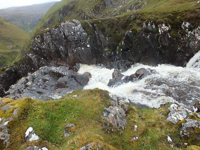
Once I reached Gleann Choinneachain the Allt Choinneachain had to be crossed, this involved a bit of careful balancing.
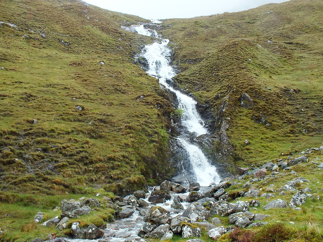
Allt Choinneachain, had to be crossed just below the waterfall
Once across the burn the gradient changed somewhat, the path kind of zig-zagged uphill to the bealach. On the way up to the bealach, the wind picked up a bit and the temperature dropped so it was back on with all the warmer stuff. Just above the bealach I stopped & put all the gear I had on earlier and it really did get quite miserable

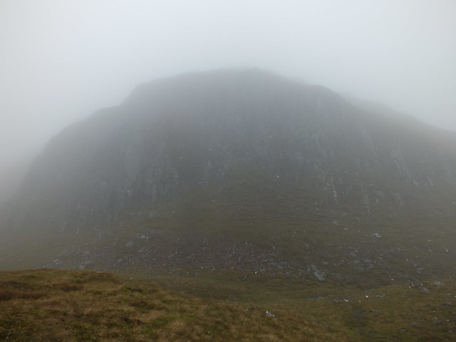
It is quite some time since I had walked in the clag and it is not what you could call fun
The camera went in the rucksack as nobody really wants to see grey photo's with rain spots dotted all over.
Visibility was about 50m with a briskish breeze, felt more like November (again) than summer.
I was now following the route on my phone and I have to say that there seemed to be plenty of 'undulations' on the way to the summit. I was keeping an eye on the height progress on my watch so I had an idea when I would be getting close
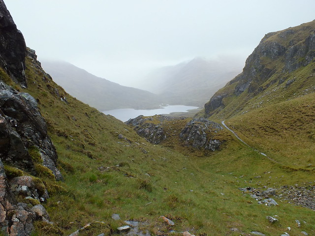
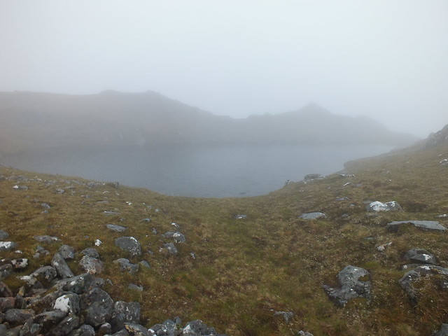
Looking down towards the bealach just before entering the clag, Loch a' Bhealaich
When this appeared out of the gloom it reminded me (just a tiny bit) of Skye & Am Basteir
Wee lochan
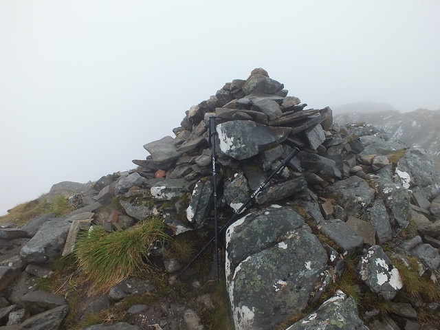
Summit cairn
For obvious reasons I didn't linger on the summit, views were non existent my main focus was trying to find the way down and pick up the path that would take me to Falls of Glomach. I found quite a well trodden path that was taking me down, however on checking my phone it was taking me in the wrong direction, so I traversed round in an attempt to pick up the WH route. Once I was happy I was back on track I started descending, however there was no obvious path that I could see through the mirk and it looked as if I was going to have to do some ascending and I definitely didn't fancy that. So I opted for a change of plan (again), I would turn left (NW) and avoid the ascent, this involved descending over very wet tufty grass which was interspersed with very small burns that were channeling all the excess water downhill. Whilst descending down the slope all of a sudden views appeared, so it was just a matter of getting my bearings and making a decision

I could see the path that would take me to Glomach probably about 1km away and due north of where I was, however there was a bit of planning to do before I could continue. I had a gully and a few burns to negotiate before I could start so I visually opted for what looked like the best route. By this point my feet were already sploshing inside my boots (shades of Skye again), I initially headed NE in an effort to minimise the descent/ascent of the gully and it wasn't very long before my feet were happily back on the well trodden terrain of a path
It was just a matter of following the path east (ish) towards the Falls of Glomach. The path itself was well established and in parts either had plenty of standing water or flowing water, I didn't bother with the usual water avoidance tactics and just ploughed on regardless
One thing that is not in short supply on the way to the falls is cairns, there must be at least SIX, not quite sure why as you could hardly lose the path, even in zero visibility

There was even a cairn marking the spot where the WH route joins the path
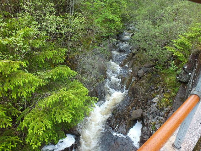
The walk to the Falls seemed to take rather a long time and once I could see the Allt a' Ghlomaich from on high, I decided to leave my rucksack on one of the relatively dry rocks. I had a quick drink before setting off downhill with my camera. I was keeping an eye on the height on my watch & I guesstimated that the decent down to the viewing point of the Falls is about 300m, which in the miserable conditions is hardly going to put a smile on your face
Allt a' Ghlomaich in the distance
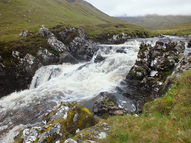
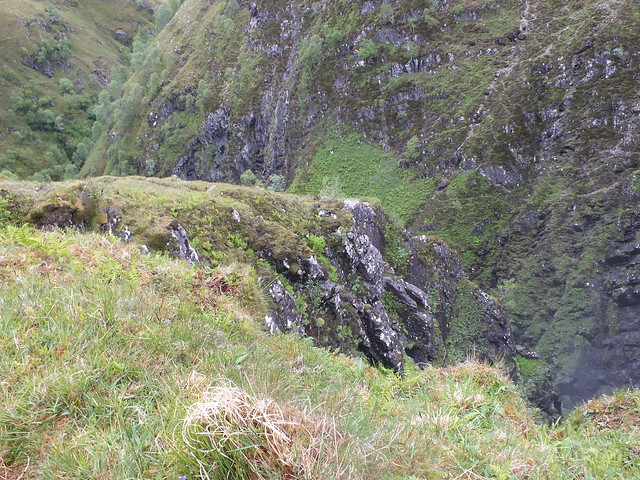
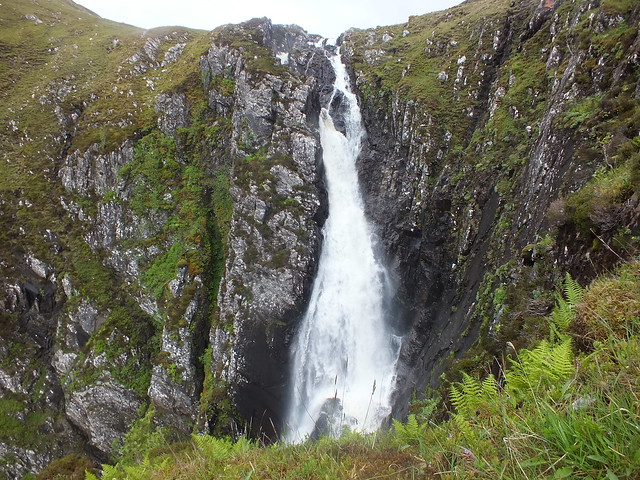
Allt a' Ghlomaich before it plunges 100's of metres
There it goes over the edge
Once at the bottom of the hill on the approach to the afore mentioned river, the path disappears, it would appear that everyone just makes their own way across to the viewing area, across the damp squidgy ground. I kept reminding myself this is summer and don't you forget it
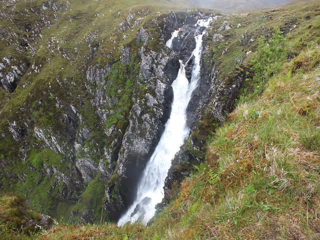
Once I reached the Falls I followed the path down even further, I noticed that there were a number of different viewing options, I opted to follow the path as far as it could go, taking great care as the rocky surface was slippy

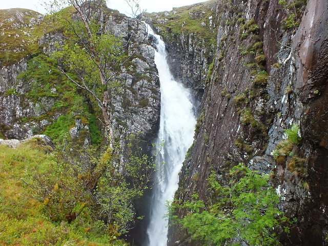
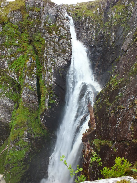
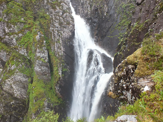
I took photo's from all the different viewing platforms, however due to the vegetation impeding the views it was nigh on impossible to get a decent photo of the whole of the waterfall in one shot
Didn't see this on the way down!
The protruding rock providing the viewing platforms
First shot
Second
Third
Fourth
Slight zoom of rock that is getting a constant battering
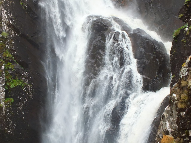
Close up
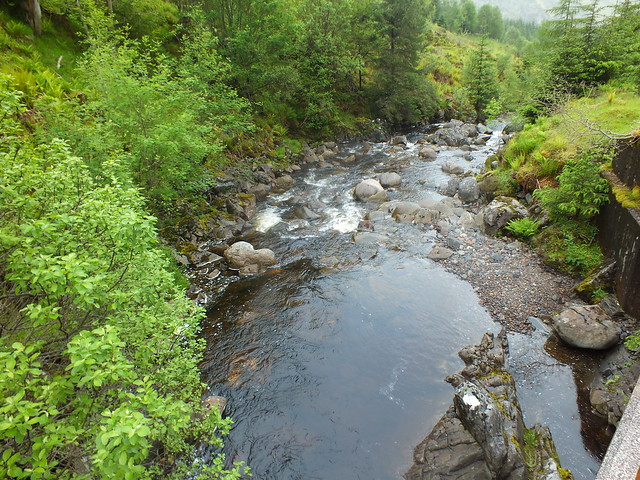
The water eventually ends up somewhere down there
After taking quite a few photo's it was time to sprint back up the hill to my rucksack - I wish. Having said that I did make quite good time getting back up the hill, a quick drink and it was the final part of the walk - back to the car. Surely nothing else could go wrong
Oh yes it can
The path back past all the cairns didn't seem to take as long, which was a good thing, then the long slow descent began. Once again the path was easy to follow, wet in places and where the run offs have been added - dry.
Path downhill
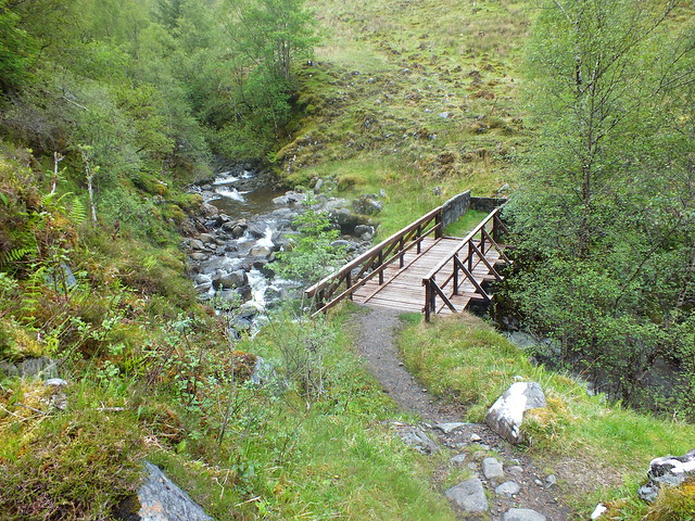
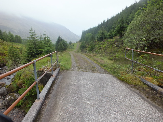
Very substantial bridge
Another water feature
Once across the wooden bridge the path becomes almost road like, not sure where vehicles would go if they utilised the large track? If you look closely at the map you will see Dorusduain Wood is littered with tracks and I wasn't prepared for this extra bit of navigation, I was expecting to follow the path/track back to where it forks on the way up
I was still navigating using my phone and the WH route, I came to a few junctions and went through a few gates and was still heading down and on course. However the next check of my phone revealed I was off course to the north, I must have missed a turning to the left. So I got my map out and decided on another change of plan, I would continue on the tarmac and eventually end up at the car albeit froma slightly different angle
the walk along the tarmac was easy going and it gave my boots a bit of chance to dry out slightly.
The tarmac track was taking me back towards Morvich and would involve a slight doubling back to reach the car, but as I was making good progress it wasn't a problem and was probably quicker
An even more substantial bridge
Water again
More
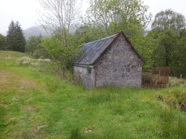
Very small dwelling place
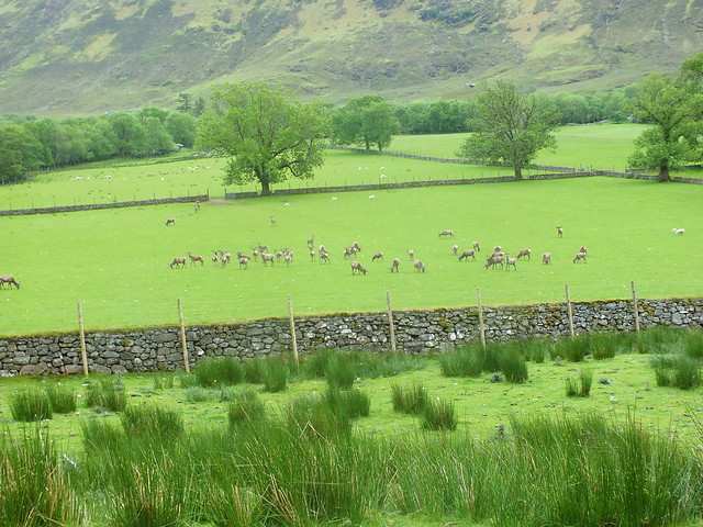
My detour took me past what looks like a deer farm
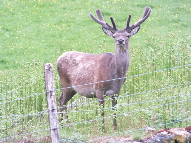
The boss of the deer farm
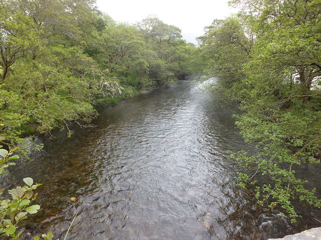
Final water feature, River Croe
Whilst approaching Morvich Caravan Site I noticed my new form of transport on the horizon
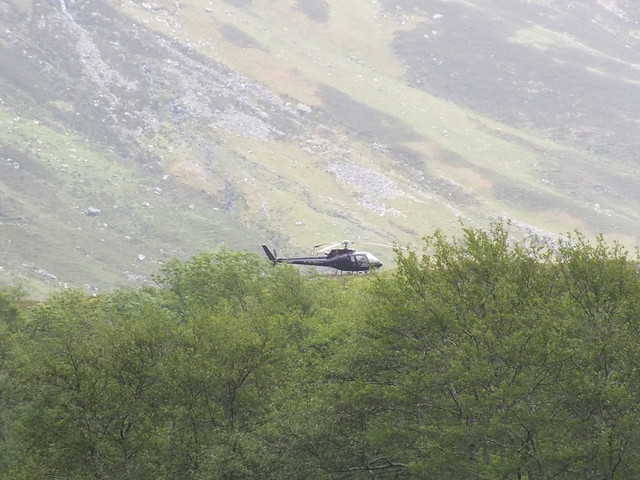
Parked
To sum up, an interesting day with one or two challenges, plenty of water features, disappointing weather (polite description), one or two changes of plan and the end result is my knee is jiggered again
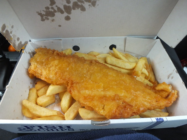
The highlight of the day was my fish supper from Plockton
PS: Apologies to Seanna (basscadet) and everyone else who attended the compleation, I was at Arnisdale until 1230 but no one turned up. The views were non existent and the way up looked rather damp. I wouldn't have walked as my knee was far too sore.
PPS: One good thing, I managed to beat Naismith's time again
Not sure when I will be out next, hope to see my GP this week
