free to be able to rate and comment on reports (as well as access 1:25000 mapping).
This weekend was supposed to be a trip to Corrour to nab a couple of Munro Tops at the top of Loch Ossian, add another 3 Munros to my tally and get my 200th Corbett - Leum Uilleim. I am always a little wary of relying on public transport, but there really isn't a great deal of options if you intend to start from Corrour

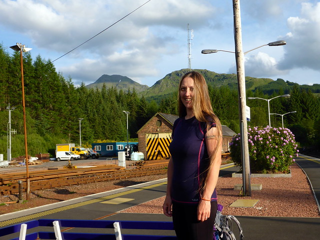
The forecast was grim other than for the Friday night, but I reckoned we could manage it. Loch Ossian had been the site of our first backpacking weekend at Easter 13 and it was with some fondness I imagined re-visiting. My only misgiving about the route I'd come up with was that it did Sgor Iutharn from its flat rear, rather than the exciting looking scramble up the fine blade of the Lancet's Edge. Not very aesthetically pleasing, but efficient. For some reason I'd decided to drive to Crianlarich and get the train from there rather than from Glasgow or Dumbarton - in the end this turned out to be a godsend. I was tied up at work til 5pm so we had a leisurely drive up the road and parked in Crianlarich. We ate our pieces in the sun then wandered to the station to wait for the 20:20 train. This time I knew all about the train dividing and to be in the end carriage for Corrour

Planned route
We could have gone for a pint whilst waiting but decided not to. The train was quiet and we waited for the inspector to come along so we could buy our tickets. Various folk with rucksacks got on and off at Bridge of Orchy and Rannoch. Just when I'd started to think we were getting a free journey, the ticket lady came by. I mentioned we'd be returning on Sunday. "Let me check with the driver" she says "I think the trains are off due to the drivers' strike on Sunday". Having checked with the driver she thought it "quite likely" that there would be no trains on Sunday. Hmmm. Whilst buses replace the trains everywhere else, Corrour is on its own. Change of plan called for

I needed to be back home on Sunday night to give my boy a run to the airport early Monday. I was meant to be working on Monday. And I hadn't packed food for Sunday evening or Monday morning. We decided that we'd do Luem Uilleim and just return on the Saturday lunchtime train and do some of Allison's Corbetts that would be repeats for me thereafter.
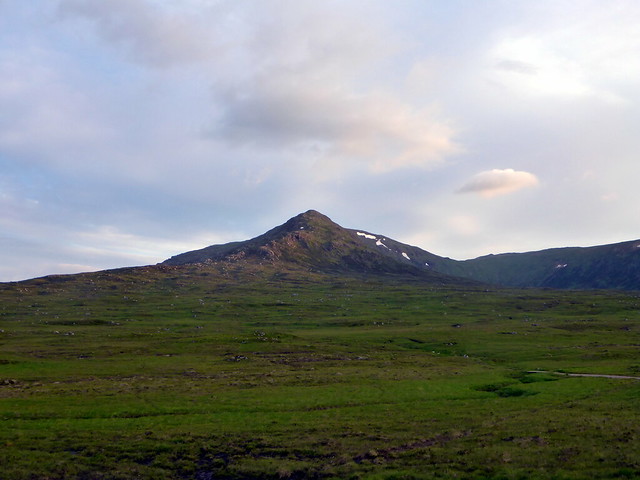
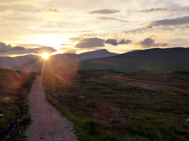
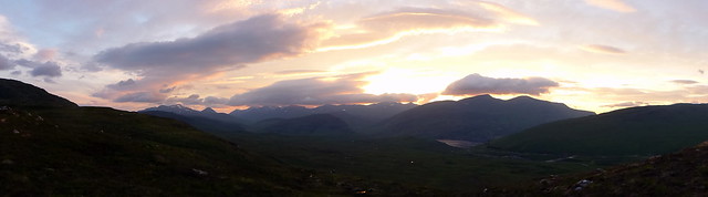
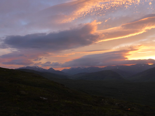
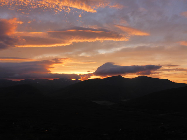
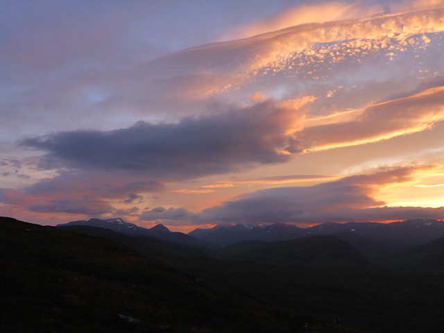
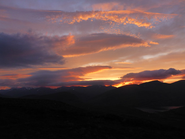
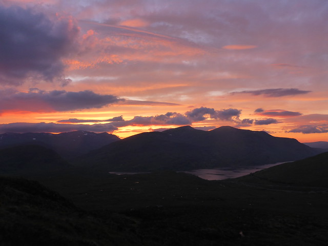
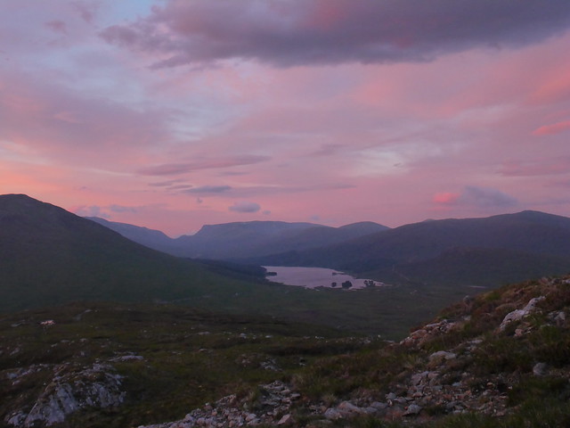
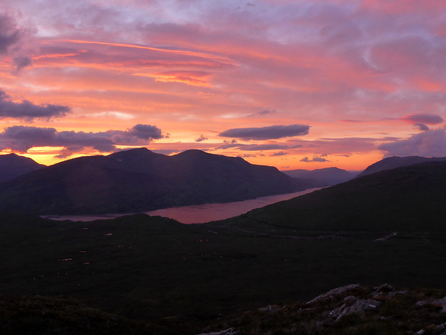
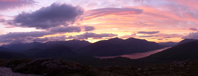
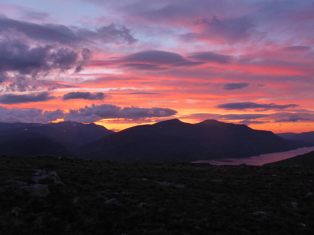
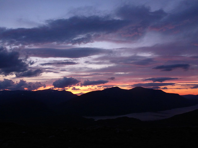
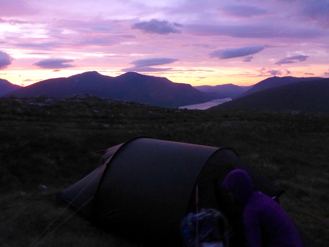
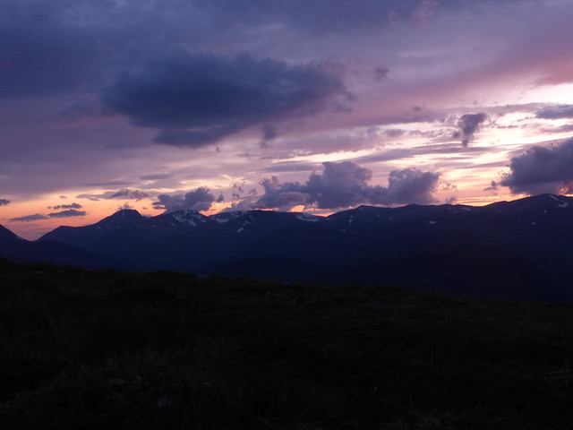
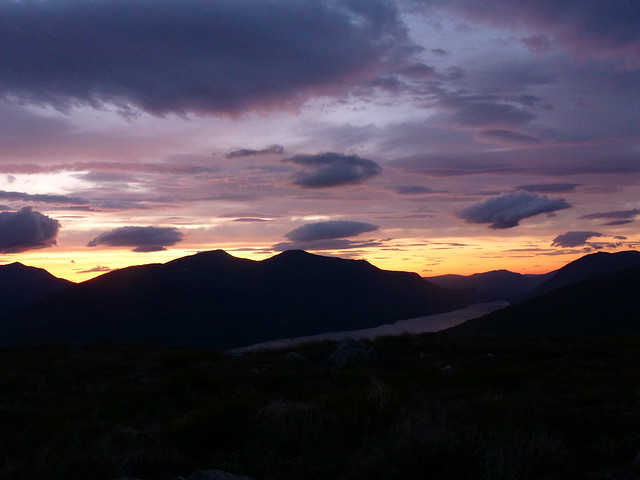
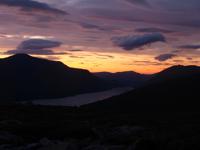
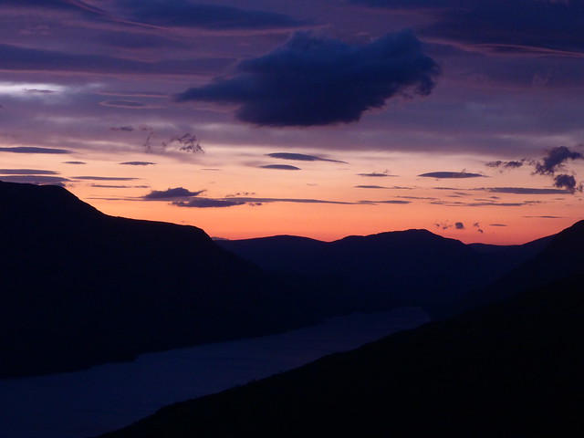
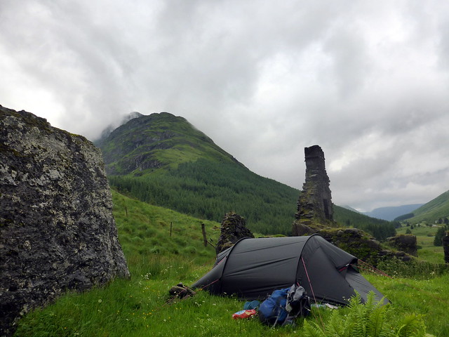
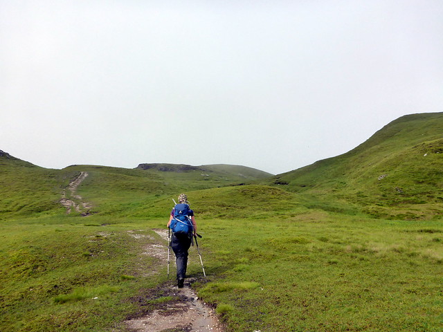
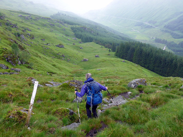
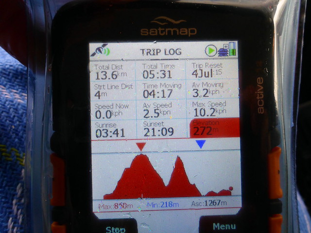
It was a glorious evening and we set off along from the station and onto the track that runs north, parallel to the rails for a wee way before heading off left for therise of An Diollaid. Marshy underfoot, I hoped that we would be able to find somewhere drier as we gained height to pitch the tent. As it was such a nice evening I had the fleeting thought of just climbing the hill that night and getting the first train at 08:30 on Saturday morning, but I reckoned that Allison would not be particularly receptive to that plan. It was a lot windier than had been forecast - whilst this was nice in that it kept the midges down, I wondered how blowy it would be higher up. As we climbed we began to gain views over to the Easains, the Grey Corries and the Mamores against a sky turning pink and orange. I pressed on, keen to get a good view of Loch Treig before the intensity of the sunset waned. Places for camping were few - the ground was either too sloping or - when one did find a more level spot - wet. We pressed on hoping that the flatter area on the map before Tom an Eoin would be suitable, and indeed we did find a useful spot. It did mean pegging into moss, and with the wind now quite fierce I wondered if that would hold. I put a fet extra guys on and found some rocks to assist, then sat and watched the sunset dying over the hills. For a time Loch Treig glowed deep red as if filled with cooling lava. It got cool as the sun disappeared and we turned in.
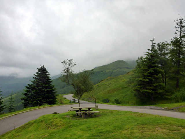
Sunny Crianlarich
 P1080718
 by
Al, on Flickr
 P1080719
 by
Al, on Flickr
William's Leap
 P1080720
 by
Al, on Flickr
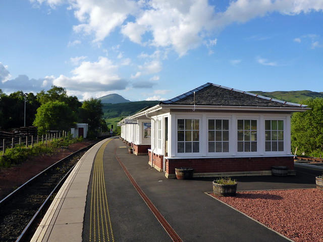
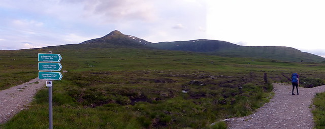
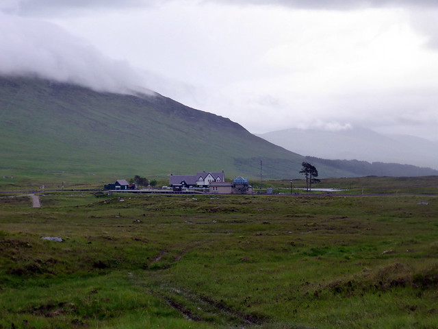
Sunny Corrour
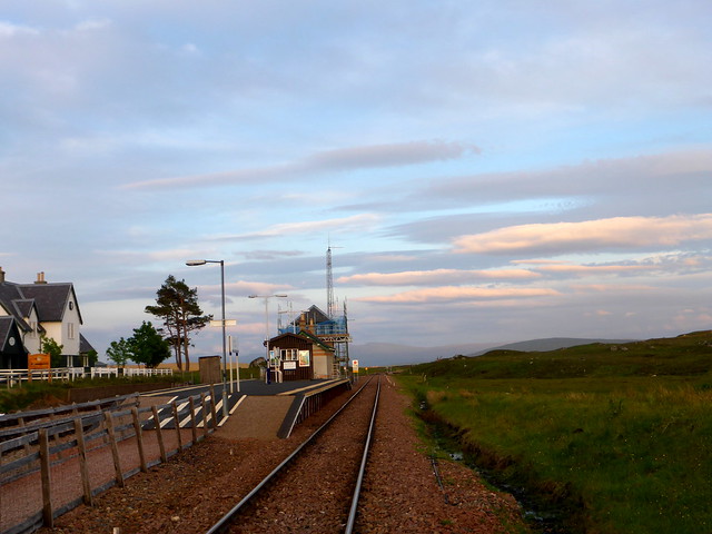 P1080723
 by
Al, on Flickr
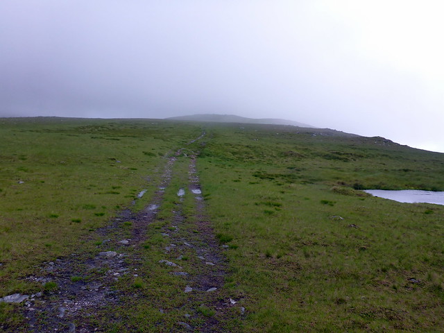
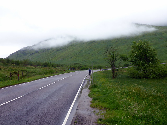
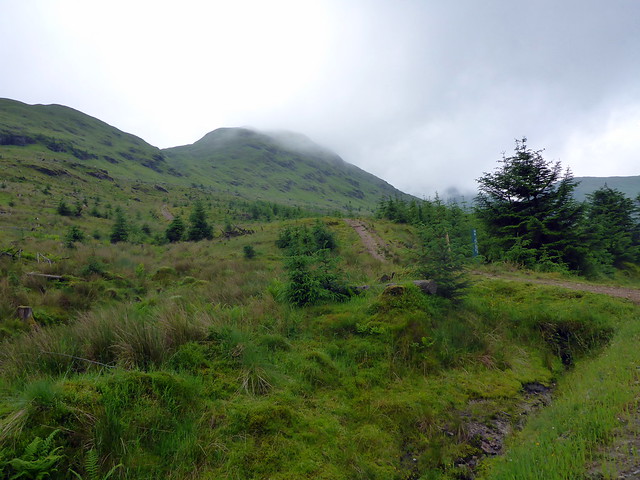
Start of the track
 P1080724
 by
Al, on Flickr
 P1080727
 by
Al, on Flickr
 P1080733
 by
Al, on Flickr
 P1080736
 by
Al, on Flickr
 P1080737
 by
Al, on Flickr
 P1080738
 by
Al, on Flickr
 P1080739
 by
Al, on Flickr
 P1080742
 by
Al, on Flickr
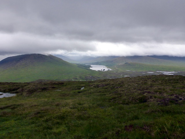
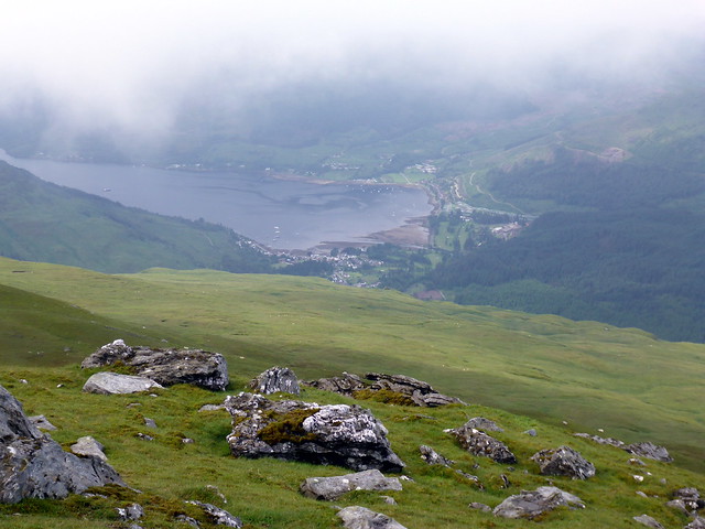
Loch Ossian
 P1080743
 by
Al, on Flickr
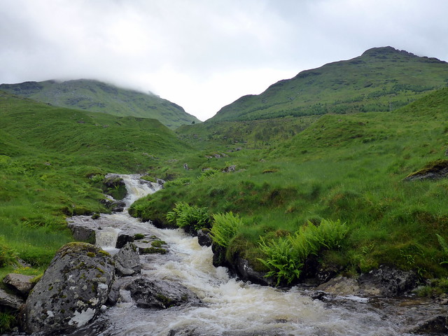
Loch Treig
 P1080746
 by
Al, on Flickr
 P1080747
 by
Al, on Flickr
 P1080749
 by
Al, on Flickr
 P1080750
 by
Al, on Flickr
Pitch
 P1080753
 by
Al, on Flickr
 P1080756
 by
Al, on Flickr
 P1080760
 by
Al, on Flickr
 P1080763
 by
Al, on Flickr
Last glow over Loch treig
 P1080770
 by
Al, on Flickr
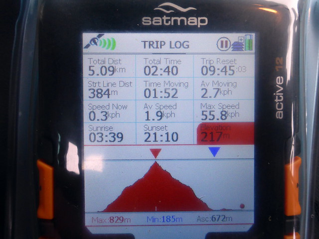
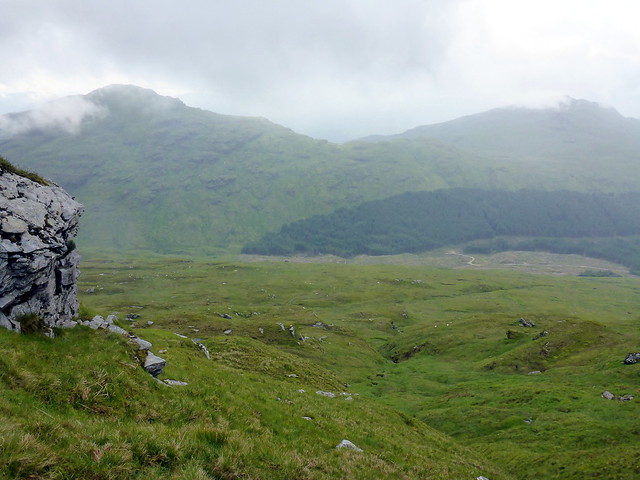
A very stormy night followed, the tent being battered and pummelled with 50-60mph winds all night. As a result not much sleep was had. i kept thinking I could hear guylines being torn out and whipping against the tent. Around 2am the rain started and added to the maelstrom. Come the morning I was glad of the room in the porch for somewhere to cook the porridge, as there would have been no way of getting the burner going in the strong wind and rain. Fortunately the rain abated when it was time to get the tent down, but the clag was down and all the hills of the previous evening were swallowed up in the mist.
 P1080772
 by
Al, on Flickr
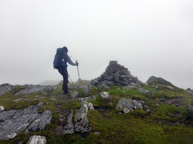
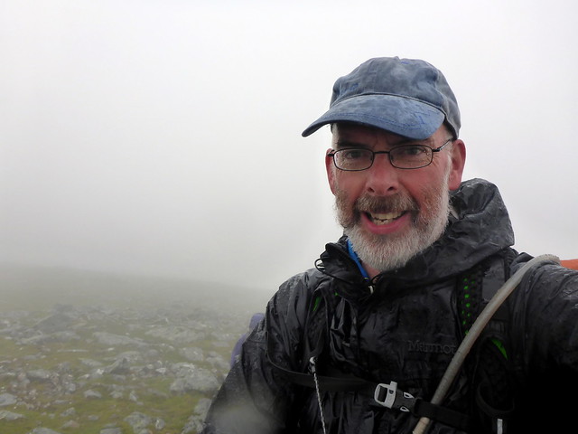
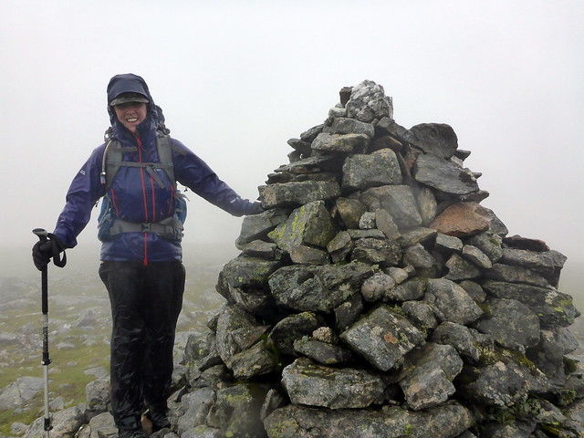
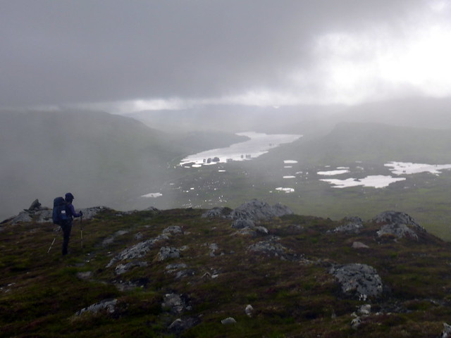
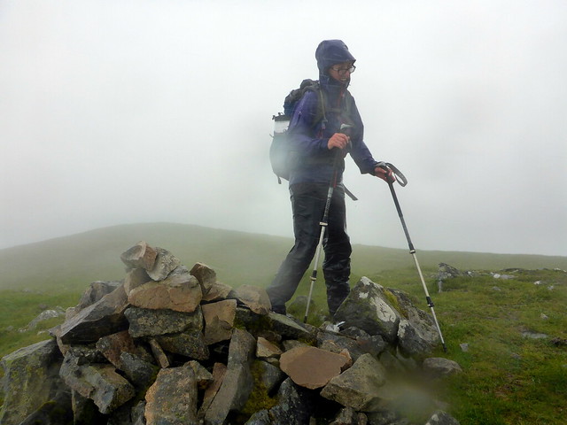
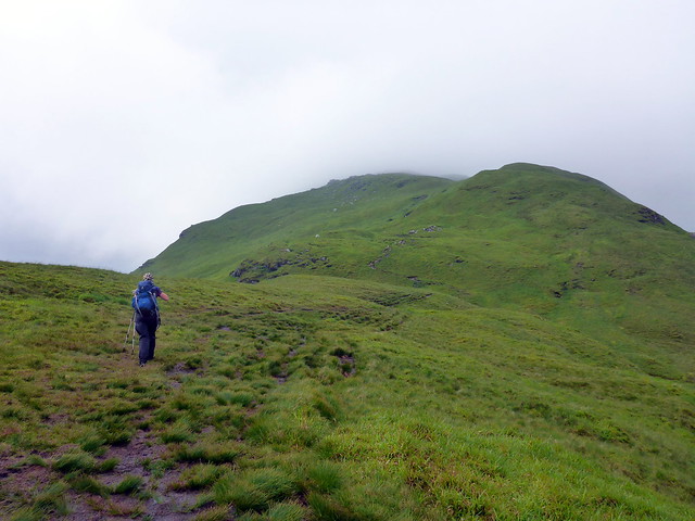
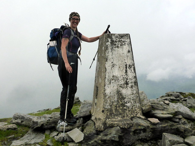
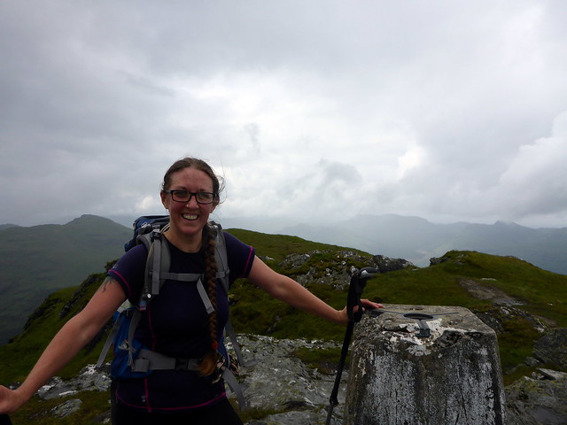
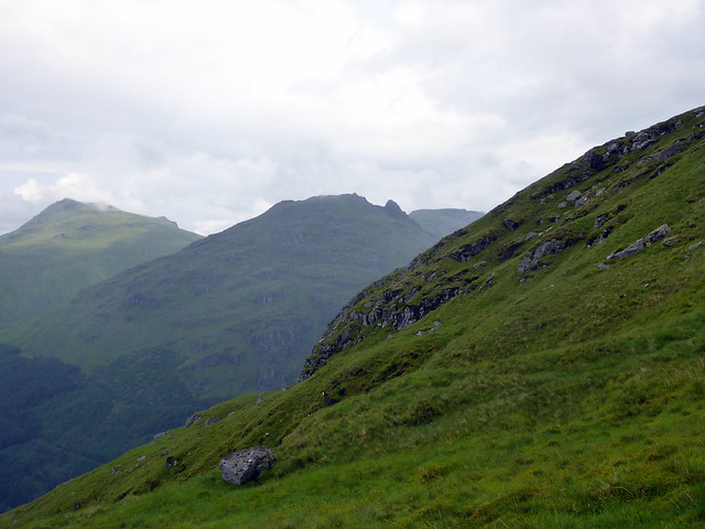
We set off, still following the ATV track as it climbed towards Beinn a'Bhric. We wandered to the summit, being caught in gusts of strong wind, then turned eastwards down to the bealach and up to Leum Uilleim. A large carin was there to celebrate 200 against. Then off down the narrow in places shoulder of Sron Lagain Ghaibh. As we decended through the clag, views to Loch Ossian and the lochans around it opened up, the water gleaming like silver. We made for the station buildings, meeting a path after a while. 10:40 - almost 2 hours to wait before the midday train. We were wet from the heavy rain and knew we'd cool down quickly, so on with a few layers and a brew. One of the women that run the youth hostel came to wait for her son coming off the next Glasgow train - we chatted and she spoke about the Station House restuarant closing down despite running at a profit as the estate wanted a cafe for hillwalkers, not fine dining. Apparently it might be opening up in the next few weeks as a cafe.
 P1080773
 by
Al, on Flickr
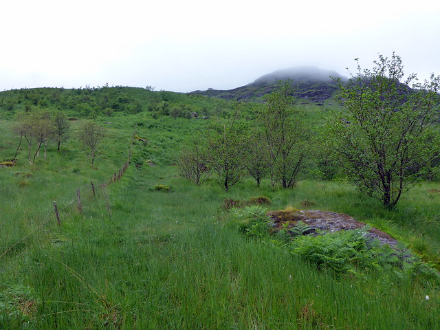
Beinn a'Bhric
 P1080774
 by
Al, on Flickr
21 to go!
 P1080776
 by
Al, on Flickr
 P1080777
 by
Al, on Flickr
 P1080780
 by
Al, on Flickr
Corrour
 P1080782
 by
Al, on Flickr
The train was busy with holiday makers. We sat and ate our sandwiches and tried to heat up. What to do now? There were several Corbetts around Tyndrum, and some more up by Arrochar that would fit the bill - having the car at Crianlarich was a great boon. Arrochar was decided upon - we'd do Stob Coire Creagach then try and do Ben Donich and The Brack on Sunday - 3 extra Corbetts for the girl - would bring her down to only 28 more than me
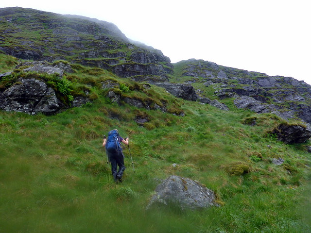
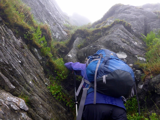
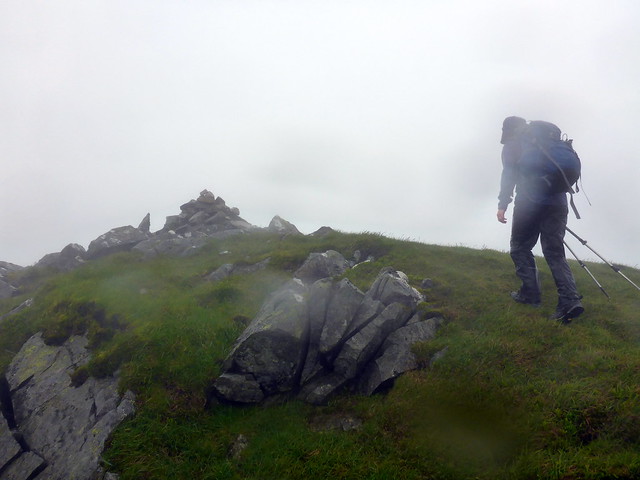
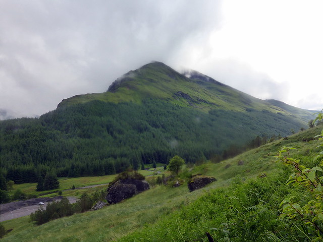
The weather was foul driving down to Butterbridge. Tops in clag and raining. Fortunately it was only a short hillwalk, though I remembered it as being craggy. We set off through the plantation, very wet underfoot. Height is gained quite speedily, cutting up gullies while the sheep look on. When we neared the summit the way became indistinct and it looked like we'd have to go up a steep crag - I didn't remember this very well. However, Allison found an easier route to our left and we made the top in driving rain. Trying to hide as much flesh as possible from the lashing raindrops we turned tail and beat a hasty retreat, as far as possible following the ascent route. It was dry by now, and only about 5pm - I was quite keen to try and get another hill - namely Beinn Luibhean - under the belt. However Allison wasn't, and to be honest both of us were tired from lack of sleep the previous night, plus the dry spell didn't look like it would remain that long. We scanned about for a place to pitch - one guy was pitched down by the old bridge - I spotted a nice pitch beside the ruined croft just at the NW foot of Luibhean and we made for that. Turned out to be nicely shielded from the road and beside the roaring Allt Beinn Ime that would mask the road noise. Only drawback was the midges (and slugs, as we'd discover in the morning). Anyway we pitched and enjoyed a tasty noodle feed before retreating behind the mesh of the interior for an undisturbed night's rest.
 P1080784
 by
Al, on Flickr
Through the plantation
 P1080785
 by
Al, on Flickr
 P1080786
 by
Al, on Flickr
 P1080787
 by
Al, on Flickr
 P1080789
 by
Al, on Flickr
 P1080790
 by
Al, on Flickr
 P1080791
 by
Al, on Flickr
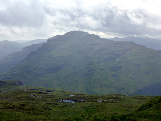
Beinn an Lochain
 P1080792
 by
Al, on Flickr
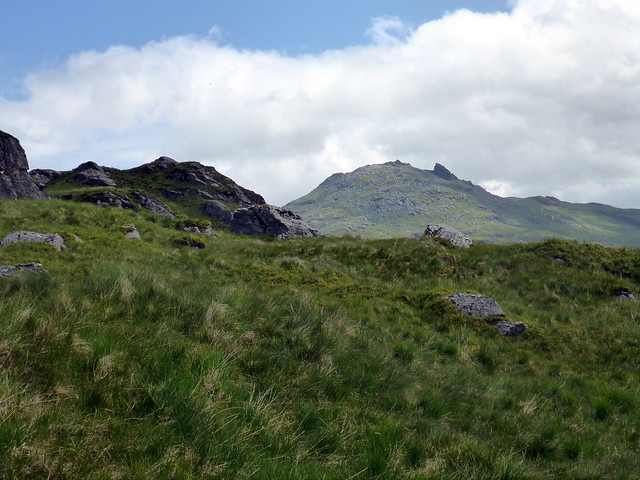
Beinn Luibhean
 P1080793
 by
Al, on Flickr
 P1080794
 by
Al, on Flickr
 P1080796
 by
Al, on Flickr
Allt Beinn Ime
 P1080797
 by
Al, on Flickr
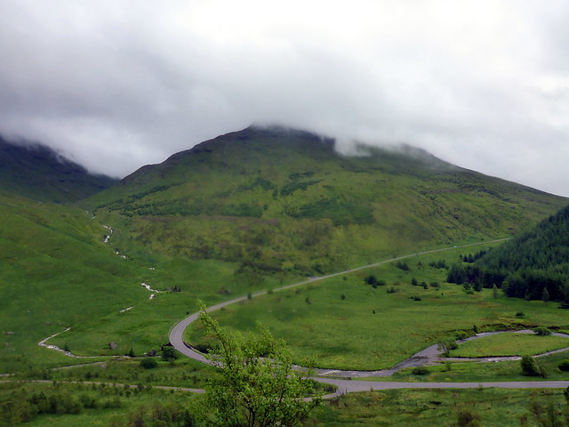
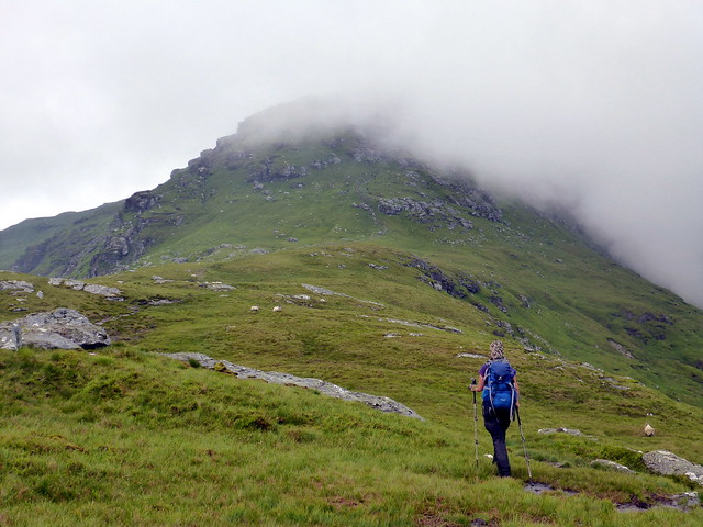
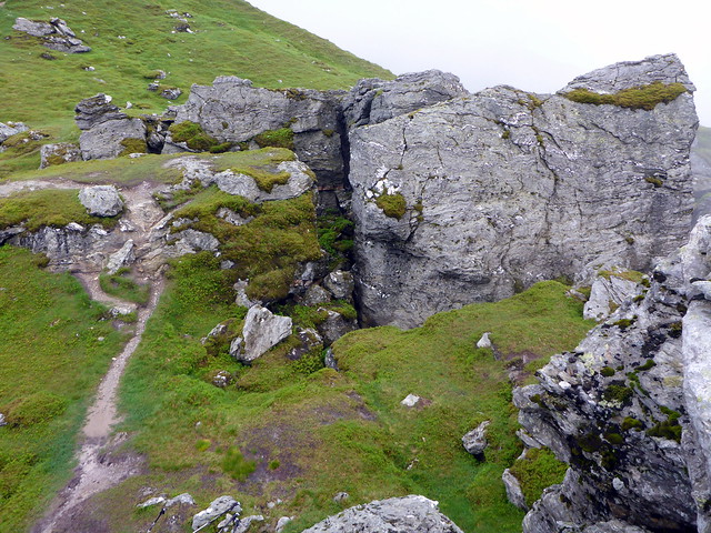
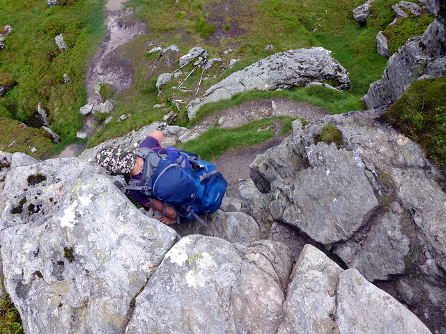
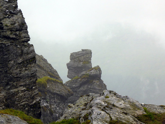
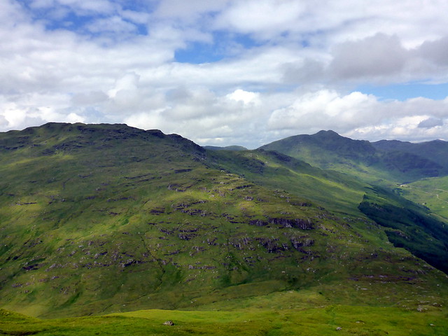
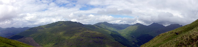
It rained heavily overnight. It took courage to eventually get up and face the hordes of midges we knew would be out there waiting on us. By the time we got away it was at least dry, although with very little wind. We drove to The Rest and Be Thankful and got ready to head up Donich. I had climbed The Brack from Ardgarten last time but the map suggested it should be easy enough to join the two hills, just following the boundary line from Donich to the Brack. Unusually for Argyll hills I was getting some views as we walked up the gentle slopes to Coire Culach. There then follows that crazy bit of collapsed mountain with crags and deep clefts before the final shoulder up to Donich is reached. We sat at the trig for a bit, looking down on Lochgoilhead and charting our route. Then back along to the beginning of the boundary line and views of The Brack - whatever next!. There are a few crags to be avoided, particularly just before descending to the Allt Coire Odhar, but this was easy enough with the visibility we had. Once down we had the task of going up again. From afar, the brack looked oppressively steep, but standing at the base it looked easy enough. We followed the stream uphill in sunshine - unfortunately the midges were also rejoicing in the improved weather and we had a bit of insect misery to endure, especially when they got to the back of my throat. Looking over to the left, Ben Arthur looked impressive, with its fin of rock standing proud amidst a field of boulders. Finally the job was done, we could see the trig point above us. As we touched down the rain began - great timing! We ate our sandwiches by the trig point, trying to face into the breeze to minimise the midge infestation. The it was back down the way we'd come up, making for the track down to the forest of Glen Croe. The initial path is very boggy, marked with white painted poles, but once in the trees an excellent track is reached and the going was straightforward back up to the start of the track. The last kilometre or so was walked in pouring rain and we were glad to reach the shelter of the car.
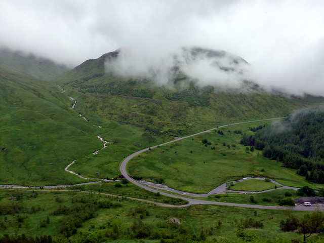
Rest & Be Thankful
 P1080798
 by
Al, on Flickr
 P1080800
 by
Al, on Flickr
 P1080801
 by
Al, on Flickr
 P1080802
 by
Al, on Flickr
 P1080803
 by
Al, on Flickr
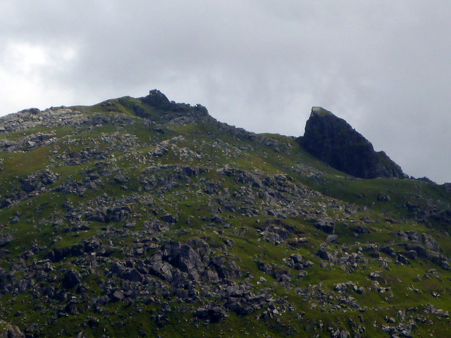
Wee scrambly bit
 P1080804
 by
Al, on Flickr
Winnie-the-Pooh?
 P1080805
 by
Al, on Flickr
Towards the summit Ben Donich
 P1080806
 by
Al, on Flickr
 P1080807
 by
Al, on Flickr
Lochgoilhead
 P1080808
 by
Al, on Flickr
The Brack (on Left)
 P1080811
 by
Al, on Flickr
 P1080813
 by
Al, on Flickr
Ben Arthur
 P1080815
 by
Al, on Flickr
 P1080816
 by
Al, on Flickr
Beinn Chorranach, Ime, Arthur
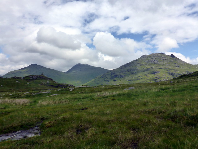 P1080819
 by
Al, on Flickr
Descent off Donich
 P1080821
 by
Al, on Flickr
 P1080822
 by
Al, on Flickr
Summit Brack
 P1080825
 by
Al, on Flickr
 P1080827
 by
Al, on Flickr
Descent
 P1080828
 by
Al, on Flickr
 P1080829
 by
Al, on Flickr
Not quite the weekend we had planned, but enjoyable enough. Now I just have to find time to go back and get the Tops we missed out on up by Loch Ossian
