free to be able to rate and comment on reports (as well as access 1:25000 mapping).
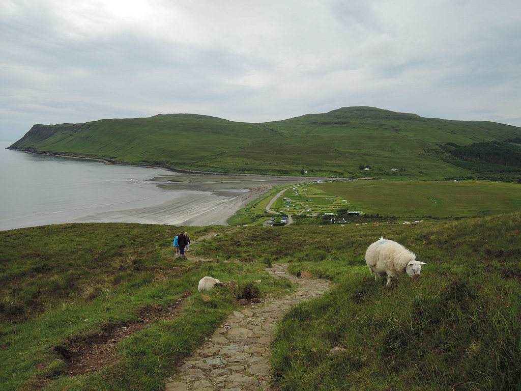
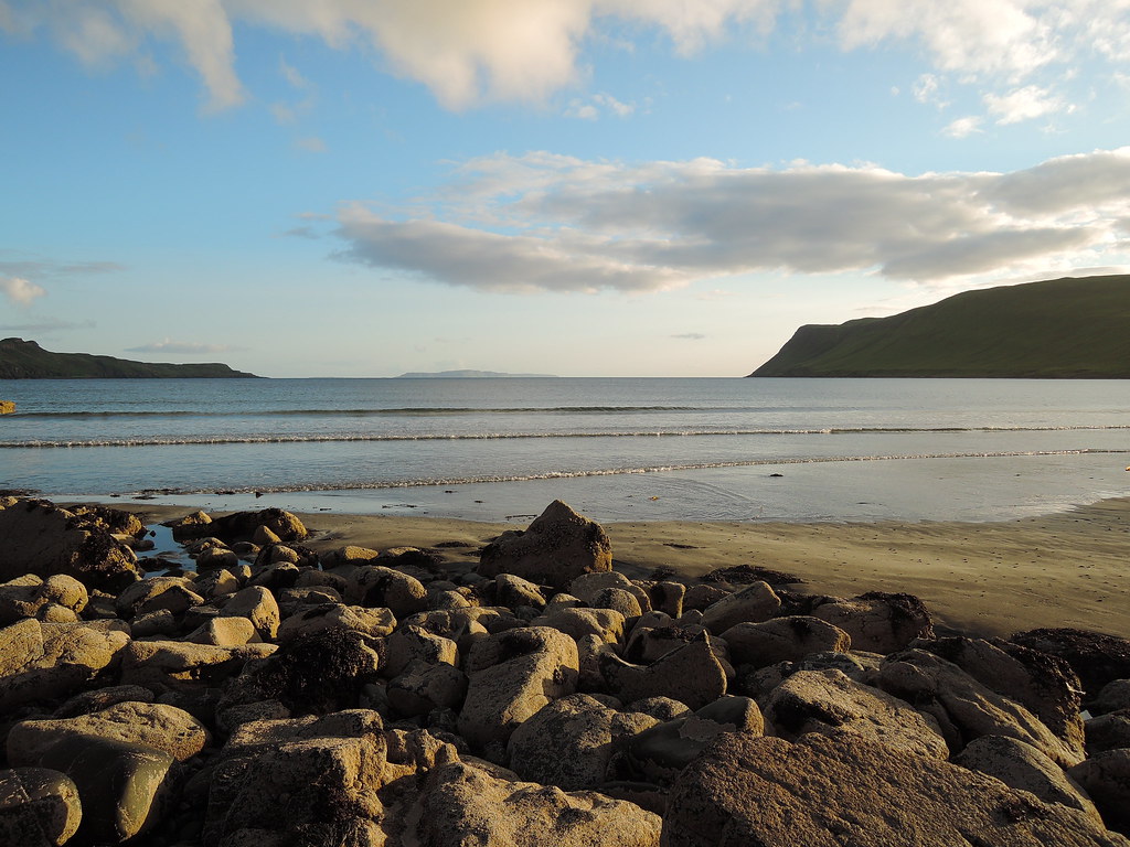
5hr drive to Glenbrittle campsite then a relaxing walk on the beach before crashing out.
Next day, good path in to Coir' a'Ghrunnda then continues high on the left hand side of the coire. I passed 3 guys on the way in, they were doing the same hills then adding the In Pinn (think one of them was a guide).
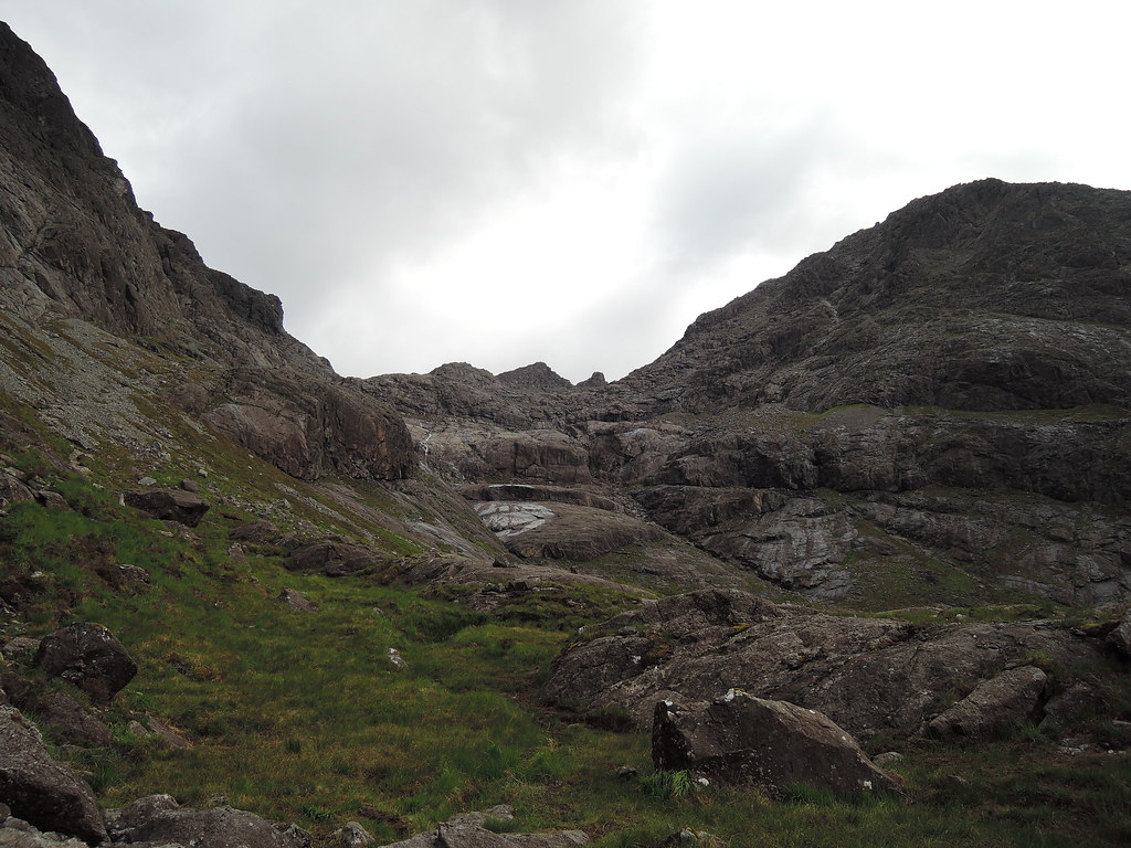
Descends down to waterfall then a scramble up to the loch.
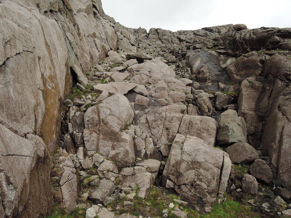
Boulderfield leads up to Sgurr nan Eag, rain started here but cleared up about an hour later.
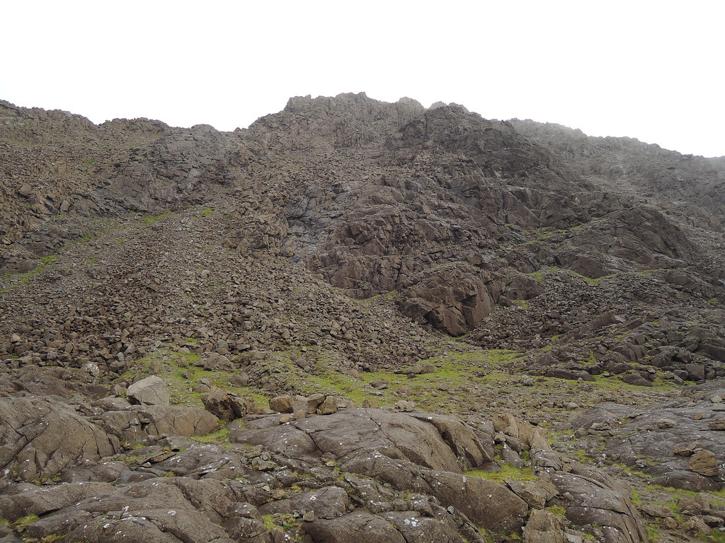
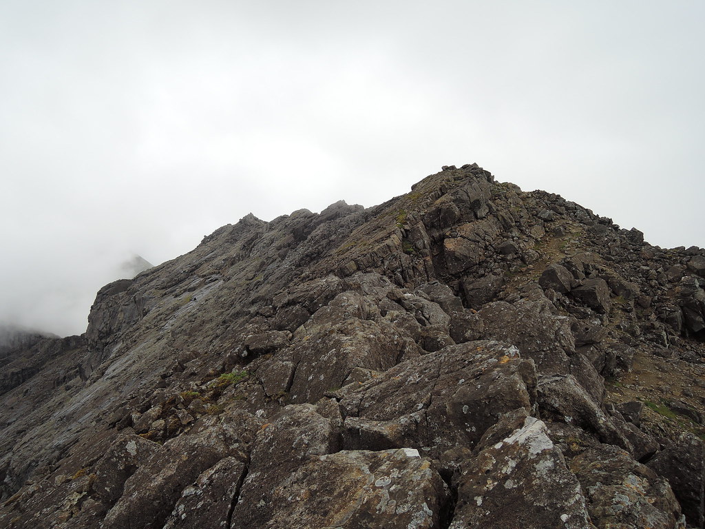
Up on the ridge, still a bit claggy.
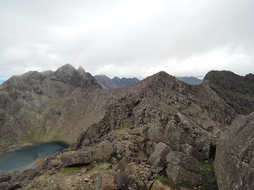
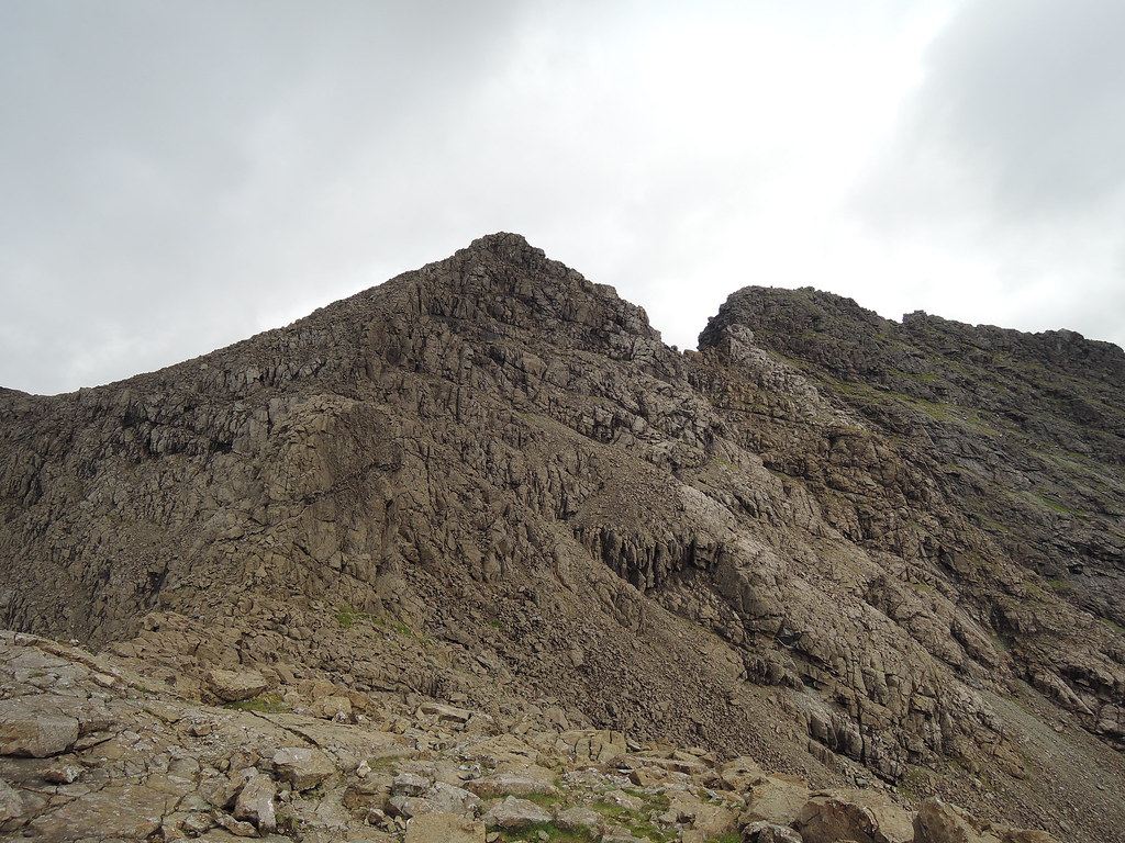
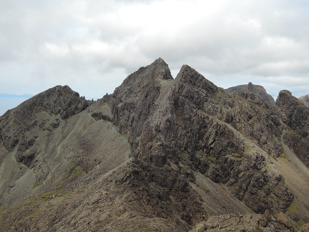
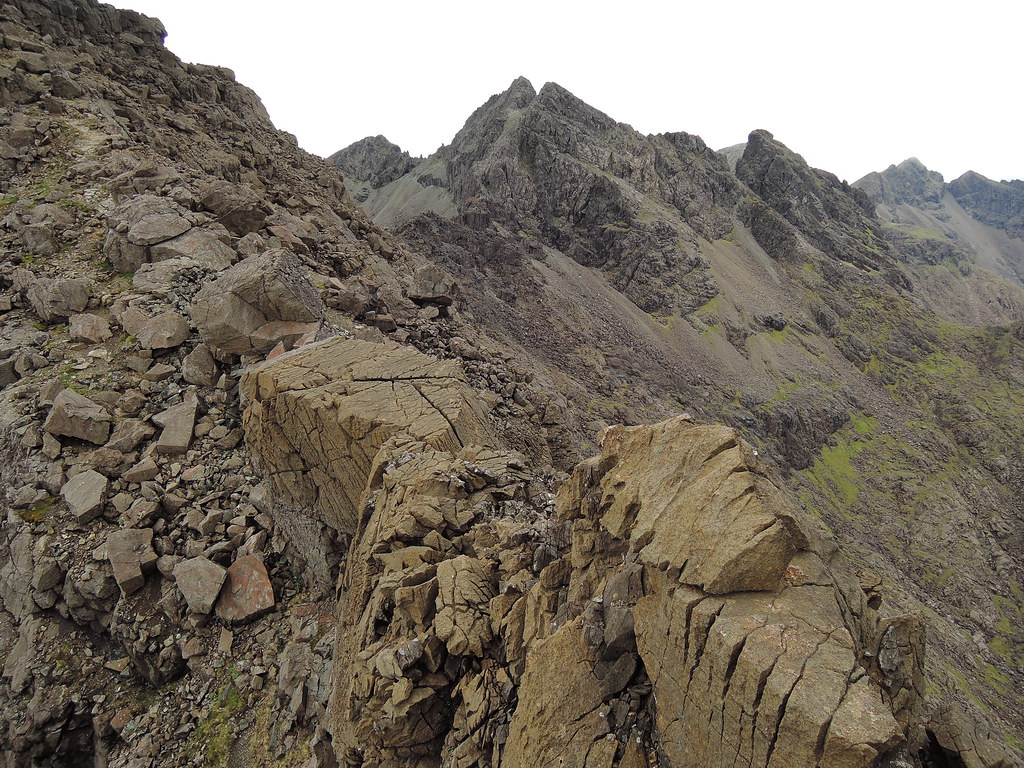
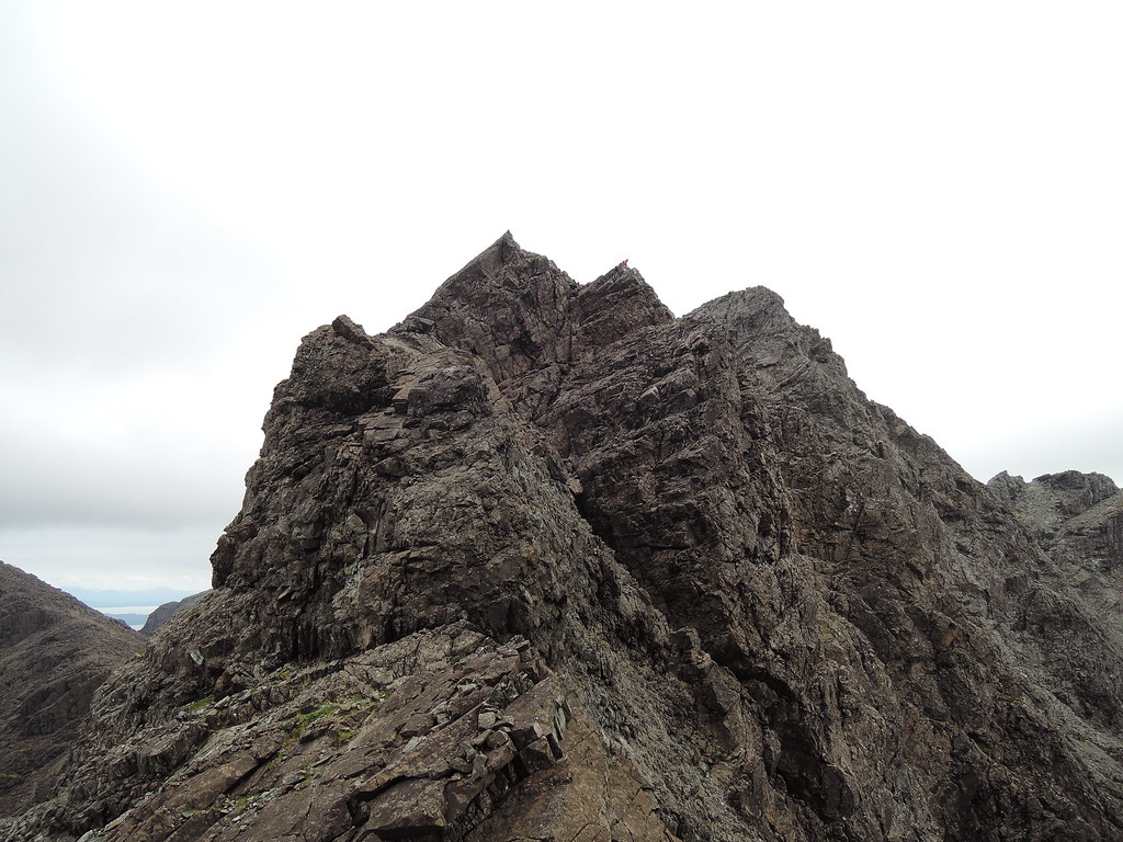
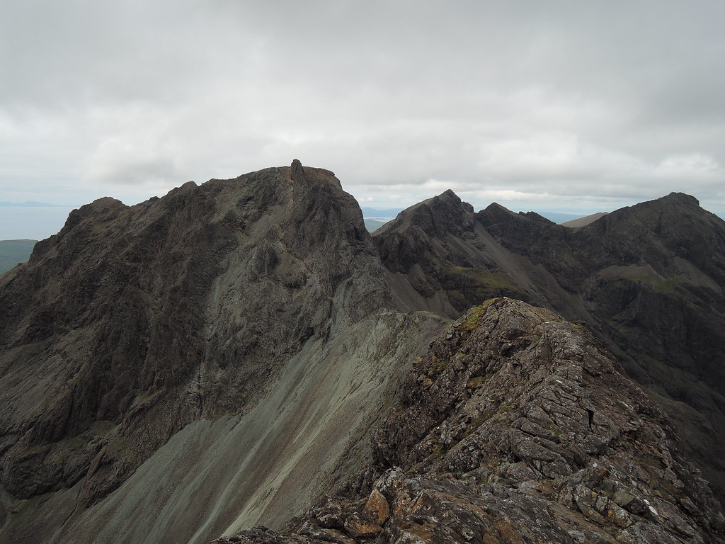
Weather cleared on the way back from the cairn. Alasdair is on the left and I'll be taking a path on the scree below the summit cliffs. Sgurr Dubh Mor on the right. There isn't much distance to cover but it takes longer than expected as there's scrambling on the way and even longer if you stick close to the crest of the ridge and avoid bypass paths.
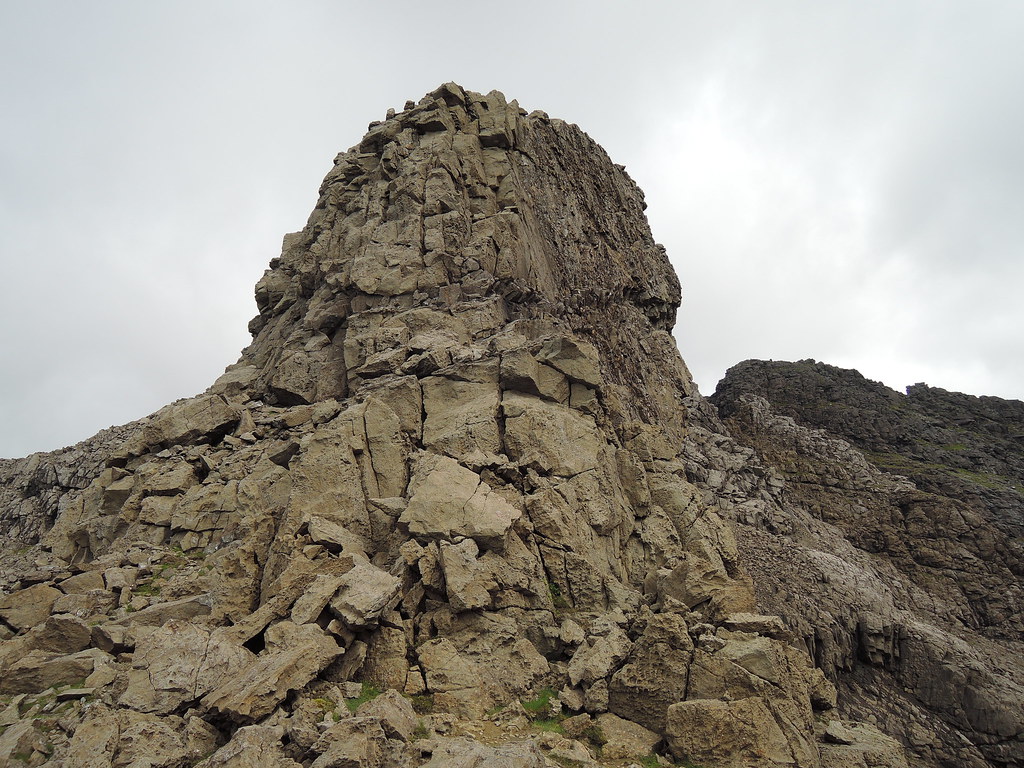
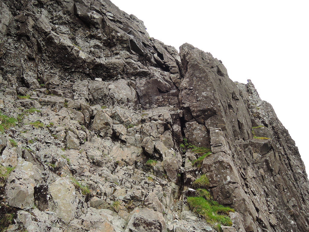
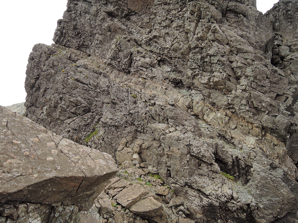
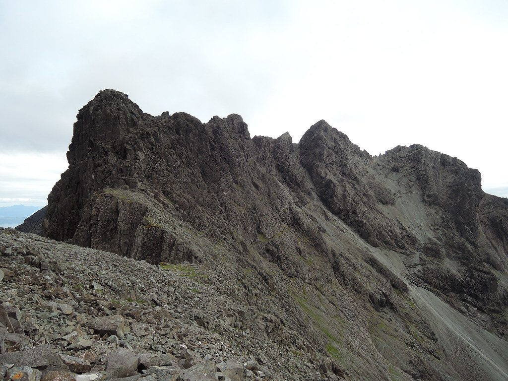
Close up of Sgurr Dubh Mor, grassy terraces with paths and scrambles up to the next level. Choice of routes here.
First, need to get over Sgurr Dubh an Da Bheinn. Also need to get back over this on the way to Alasdair.
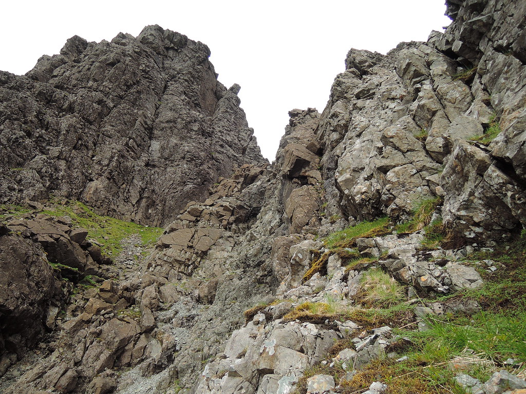
Caisteal a Garbh-choire blocks the way, looks possible to scramble up but I took the bypass path to the right.
Would need to abseil the other side though, judging by the ab tat.
Eag & Gars-bheinn.
Alasdair from Sgurr Dubh an Da Bheinn.
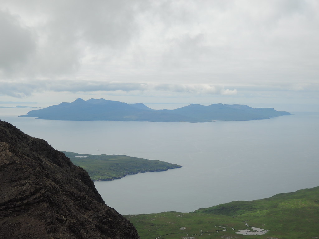
Rum
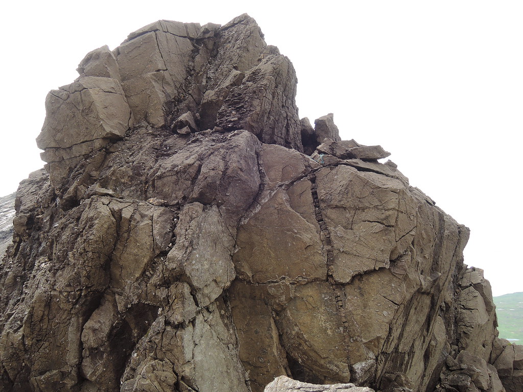
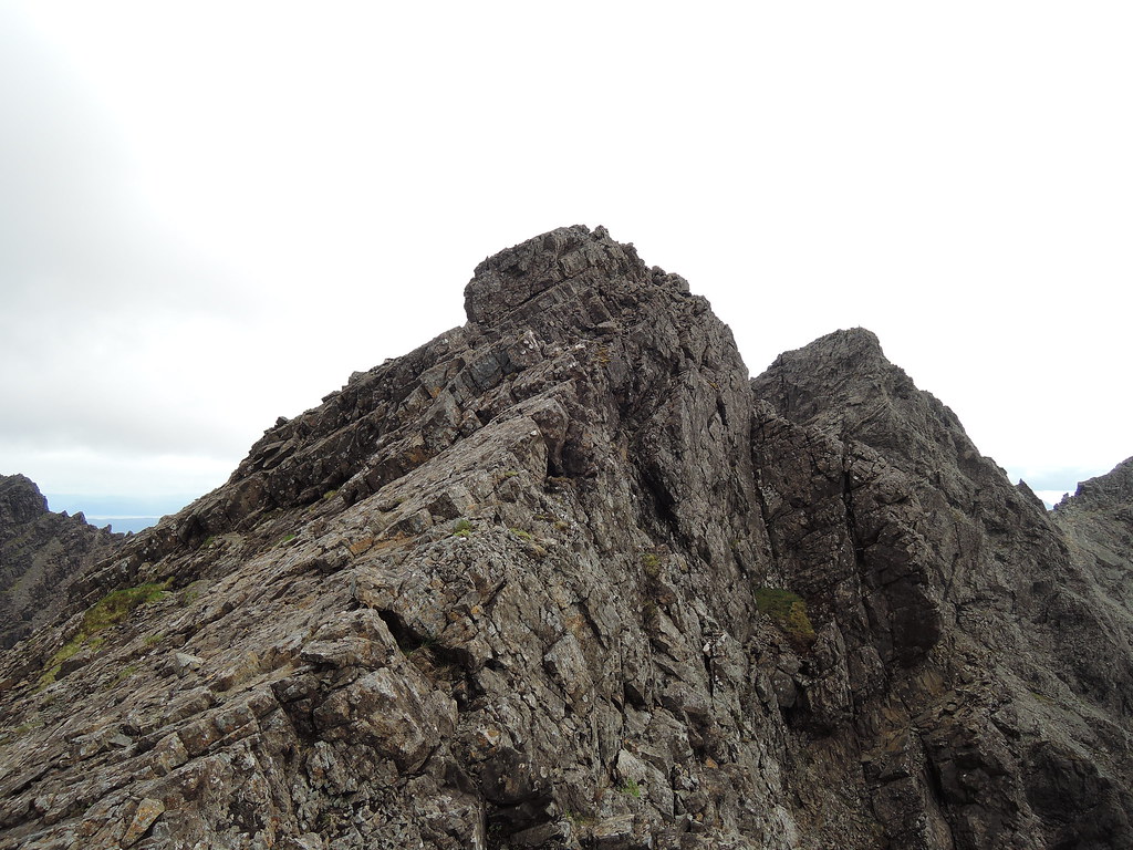
Scrambeson the way to Dubh Mor.
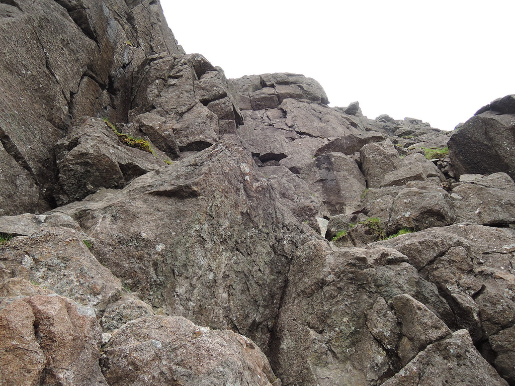
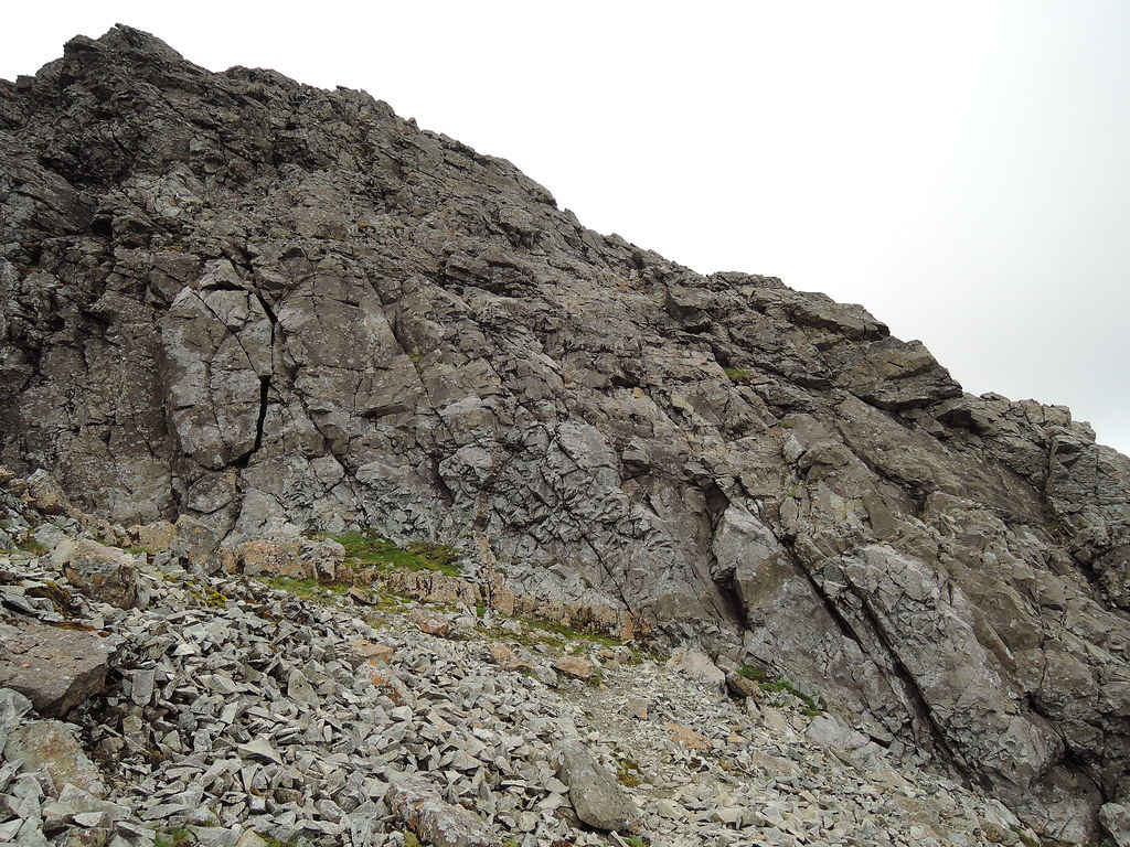
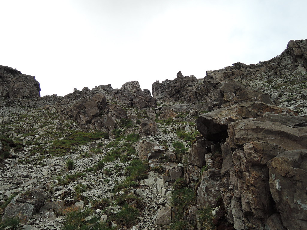
Paths along the terraces on the way up, can choose which bit to scramble up or down if one bit looks dodgy.
On the way back from Dubh Mor I trid to stick to the crest of the ridge between it and Sgurr Dubh an Da Bheinn.
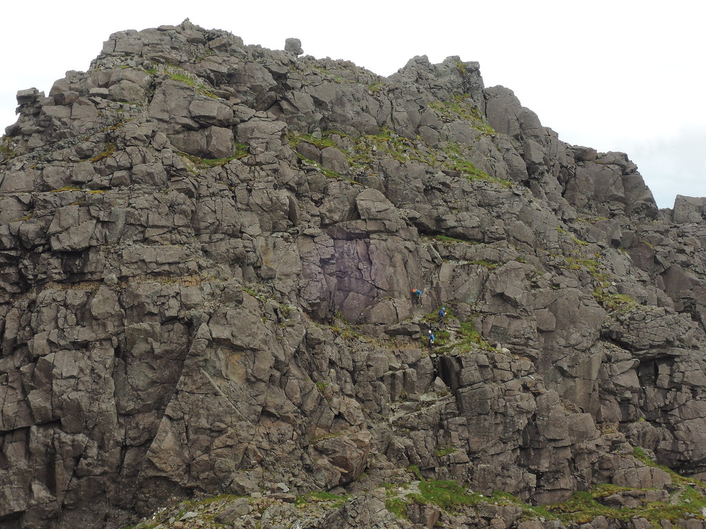
Guided party behind me, roped up and moving together on Dubh Mor descent.
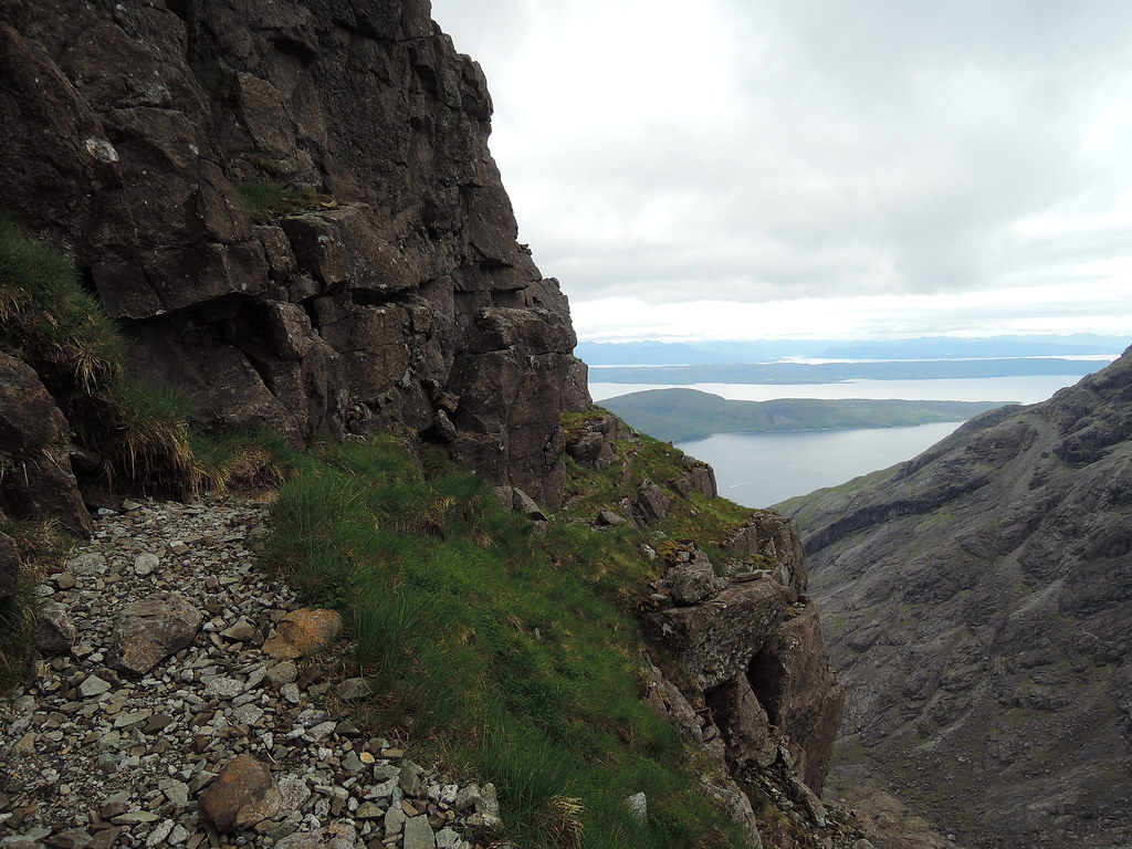
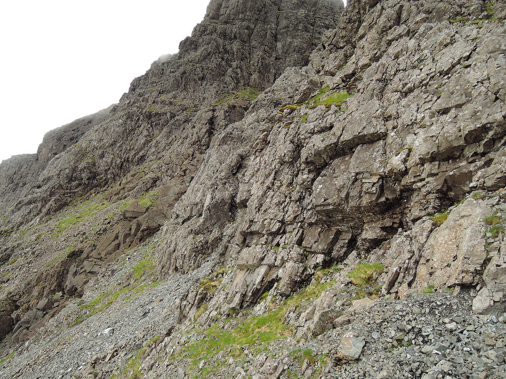
Then round to Alasdair on the path at the bottom of the cliffs.
To the cave.
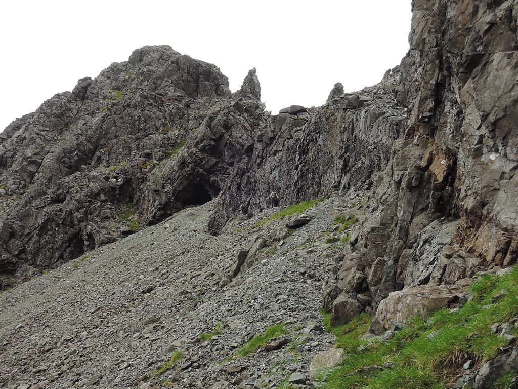
Then turn right and head for the chimney above the lower crags.

Chimney was easier than expected, then more scrambling over rock with loose stones on the way to Alasdair.
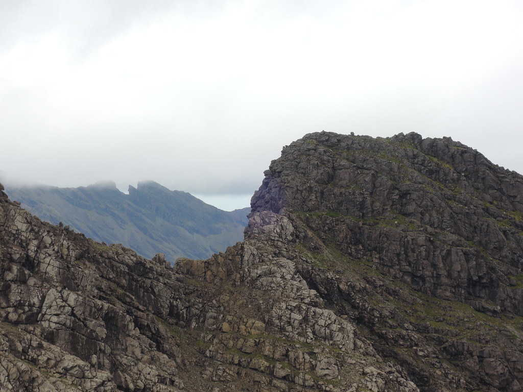
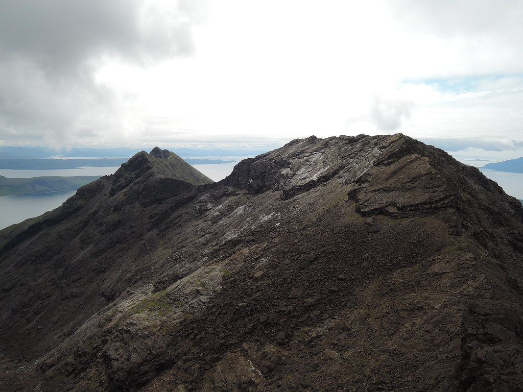
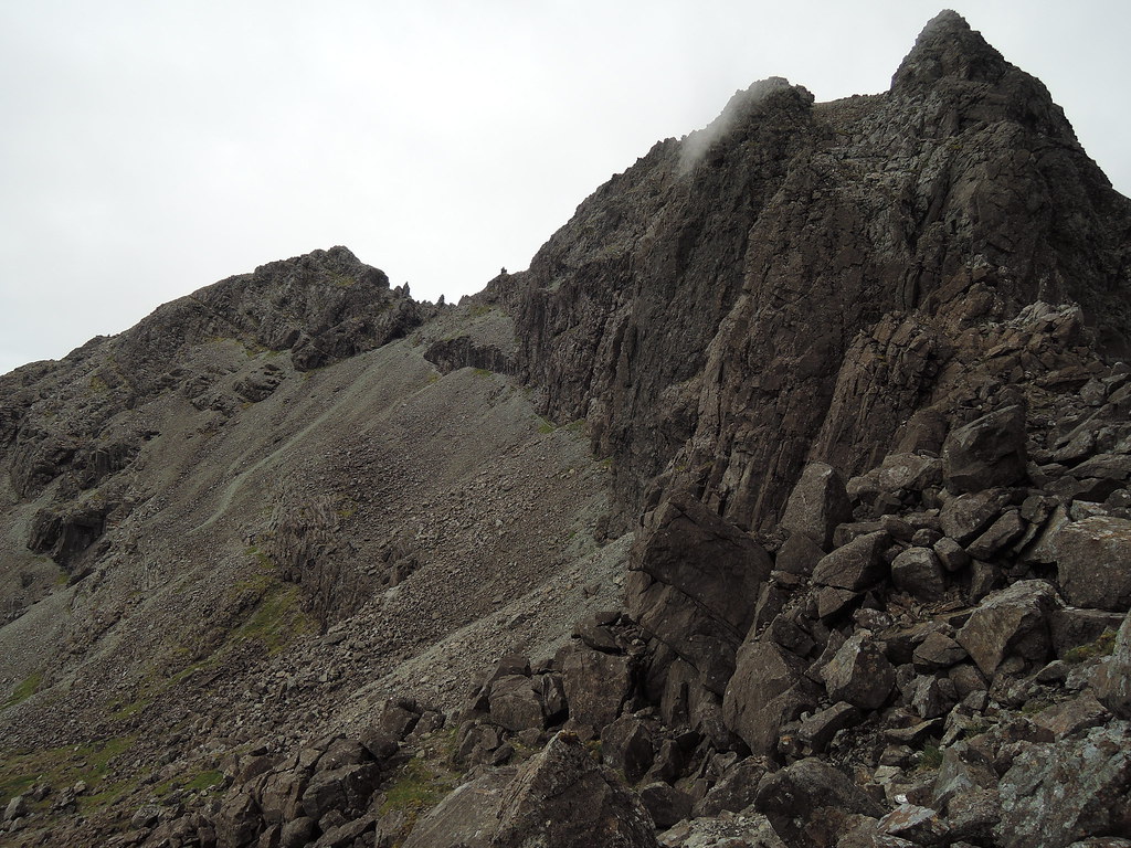
Descent from Alasdair to the stone chute, Sgurr Dubh an Da Bheinn and Sgurr Dubh Mor behind with pinnacles on the ridge in between. Sgurr Thearlaich is on the other side of the stone chute, I had decided not to do this today as the descent could be tricky to find and graded Mod.

Had a look at it anyway, nothing looked easy to get up.
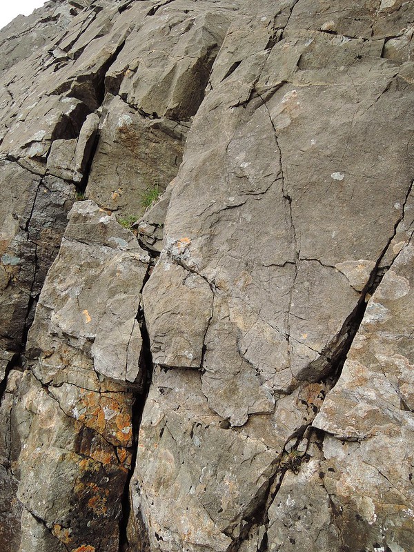
Until this brown stained bit of rock further on the right. I got up this and tried descending it, seemed easy enough but not sure I could find it again if I wasn't able to descend the other side...
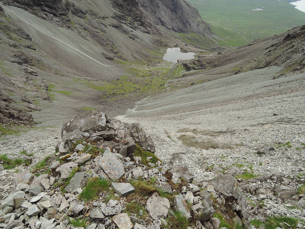
...so it was down the chute.

And round some rocky bits to bealach Mhic Choinnich.
Then a scramble up some dodgy rock, scraped my shoe on the rock at an awkward step and tore the mesh on the toe box. Farewell Sportiva Raptors, you have served me well. Still can't bring myself to chuck them in the bin, sniff

Hart's/Collie's Ledge starts at the right of the bealach, then up and to the left and continues on the left of the ridge.
I could hear voices behind me on Thearlaich - it was the guided group about to give a free demonstration of the descent on the Glen Brittle side.
I've put all the photos of this on Flickr with a route diagram from Noel Williams. It looked fairly easy from my comfortable seat on Hart's Ledge.
https://www.flickr.com/photos/gmcg/sets/72157655633761376Not far from the top of the ledge to Mhic Choinnich summit.
Then on to the An Stac screes descent, In Pinn ahead on the ridge.
Mhic Choinnich, Thearlaich and Alasdair.
Then down a gully.
And into the screes, pretty hopeless at this and having an open toe on my shoe didn't help keep the gravel out. Finally figured that planting the heels in firmly seemed to work best and kept the gloves on since I was falling over regularly. Saw an expert racing down the stone chute as I struggled on.
Good path through Coire Lagan back to the campsite. And a hot shower before the drive home

.