free to be able to rate and comment on reports (as well as access 1:25000 mapping).
We were not lucky with weather for our summer hillwalking hols. Thursday, the 18th - another gray, showery day with the only decent spells of sunshine forecast for Aberdeenshire. We' re running out of hills to do in the east, now to bag something new we had to drive all the way to Banchory!
The shortest way up Mount Battock is from the south, but we opted for the longer approach from the east, simply because this shortened our driving time to the starting point (which was long anyway) and it gave us a longer route plus the opportunity to visit the tors of Clachnaben.

We both woke up in bad shape. Kevin had a sore tooth, I had a migraine attack bigger than Hiroshima explosion

We stuffed ourselves with painkillers. Strangely, they had a totally different effect on us - Kevin just became a bit more grumpy than usual, I have gone bananas! Through the whole walk I behaved as if I lost one of my head screws and my husband asked eventually:
"What's wrong with the bats in your belfry????"
Hence the title of this report

Our route up Mount Battock (an appropriate name for a hill to do with bats in your belfry!) follows the WH instructions on the ascent. On the way back, to vary the return, we took a detour down Glen Dye. A lovely, quiet glen with good track to walk on and lots of wildlife, really a great option for the return if time permits
We started from Clachnaben Quarry car park, where we met some other walkers, but they were all going only to Clachnaben. No one followed us to MB and we had the Corbett only to ourselves!
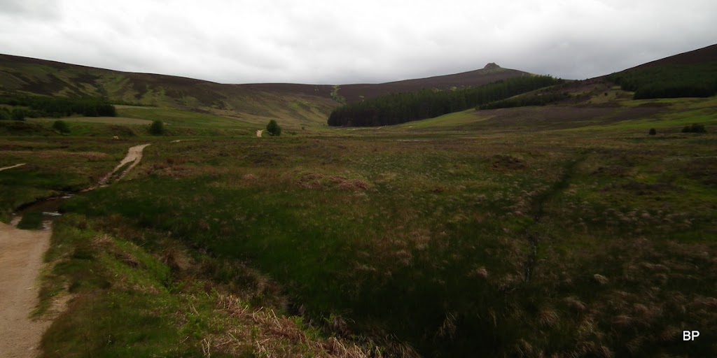
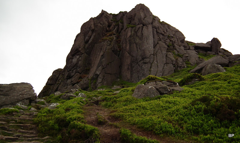
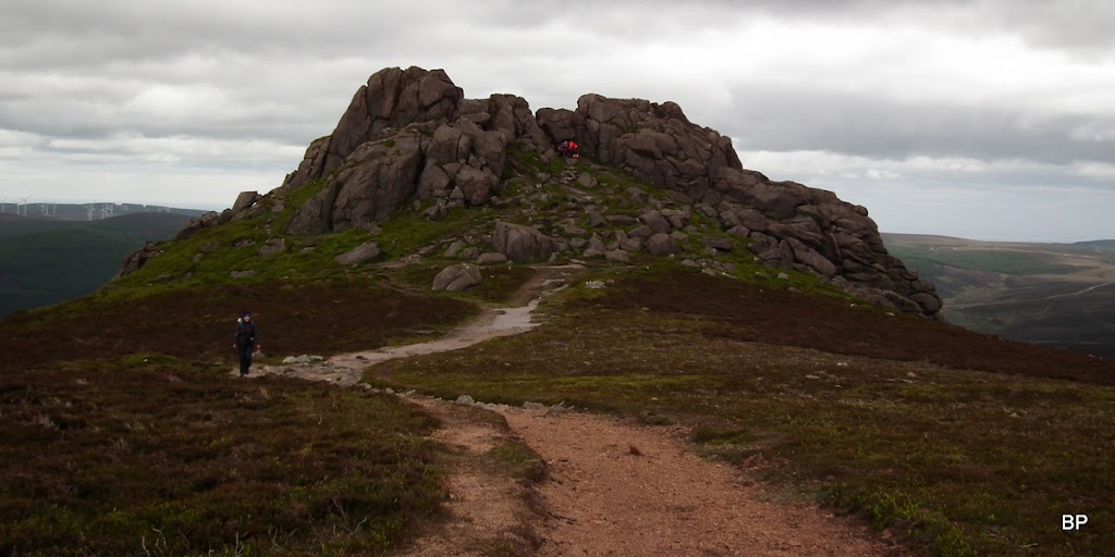
After a short walk through the forest we emerged on the Miller's Bog track which offers quick going. The tors of Clachnaben were visible from here:
The path up the first top is generally in good conditions, a couple of short, wet sections, no problems:

I was so eager to get my paws on Clachnaben tors, that I scampered up this path, uttering some weird, meowing noises, much to Kevin's disapproval!
I'm going up there!
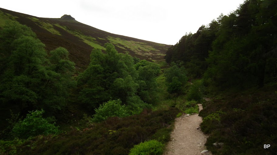
The path follows the edge of the forest before emerging on the bare upper slopes of Clachnaben. Views are nice from here, or I should rather say they would be if the cloud didn't linger:
Bats in my belfry!!!
We hopped up the path all the way to the tors and took some time admiring them from below:
The easternmost top of this long ridge has a very poetic name: Mount Shade:
Amongst the rocks:
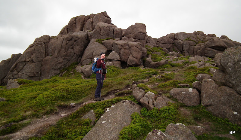
We scrambled onto the top of the big tor and here I had another wave of crazy behaviour
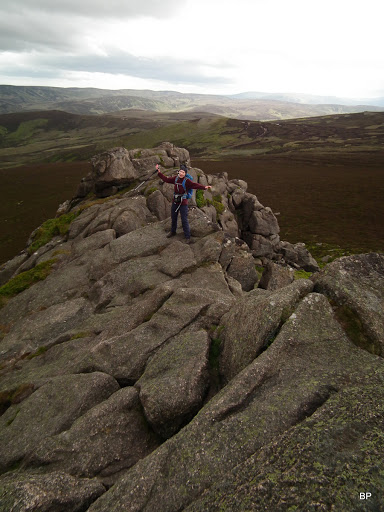
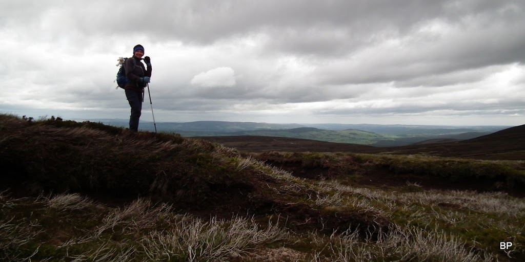
Mount Battock was still a long distance away - the pointy top on the horizon:
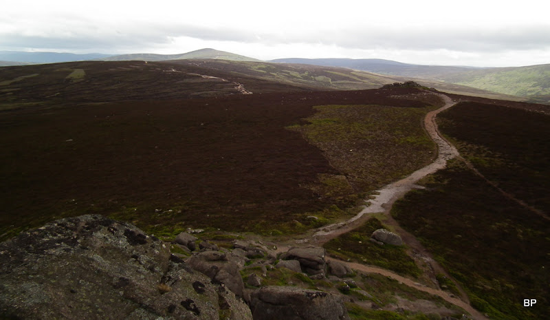
It was a bit too windy for my taste so after a short exploration of the Clachnaben tors, we continued on the obvious path:
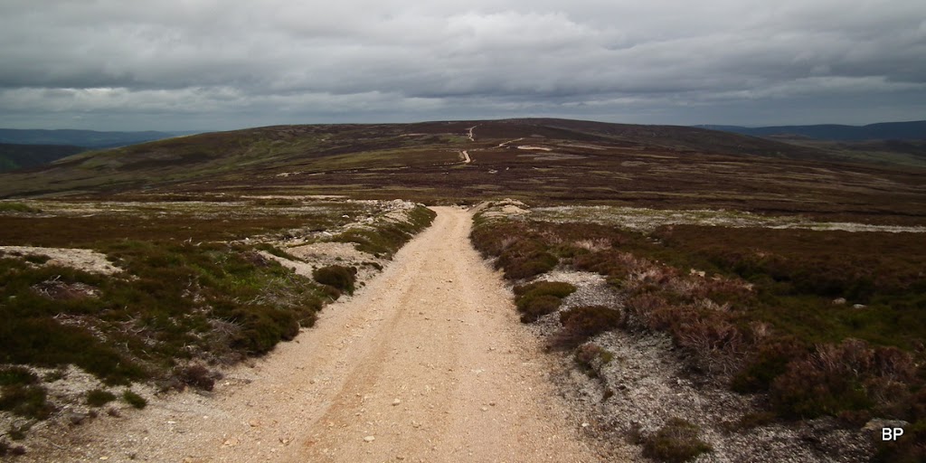
Soon we realized that this will be one of those "yellow brick road" adventures:
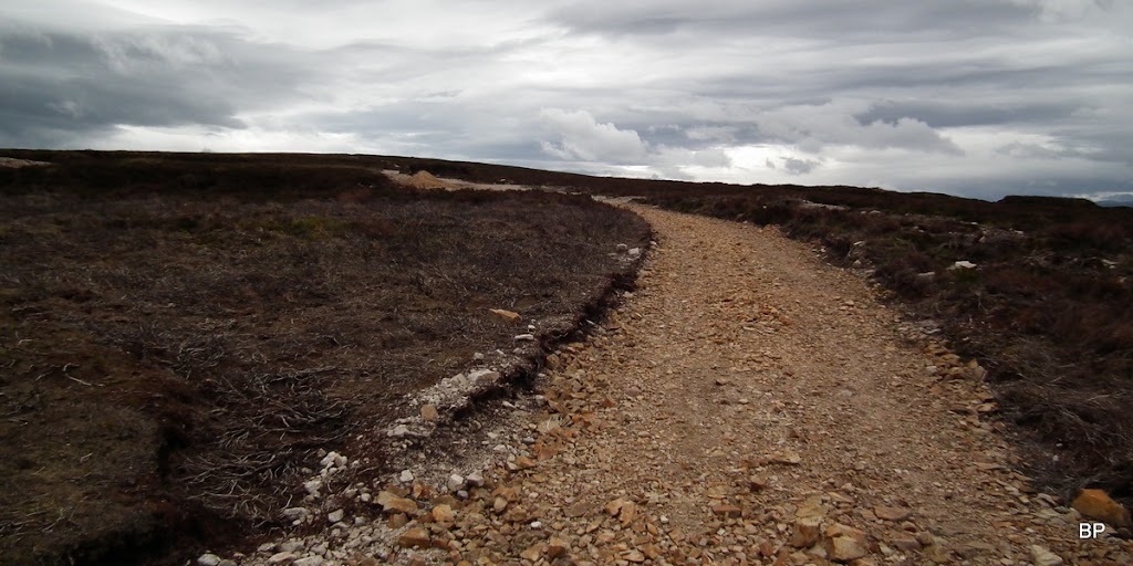
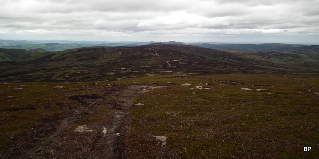
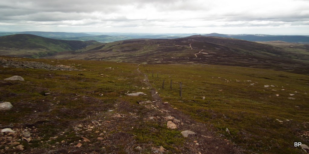
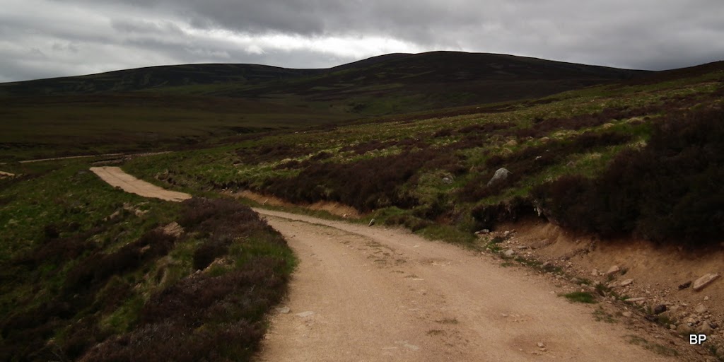
Sadly, this particular route is not for those seeking an experience of total wilderness. Basically, there is a wide track bulldozed brutally all the way from Clachnaben, over three minor tops, to almost the very summit of Mount Battock.
The tors from the west:
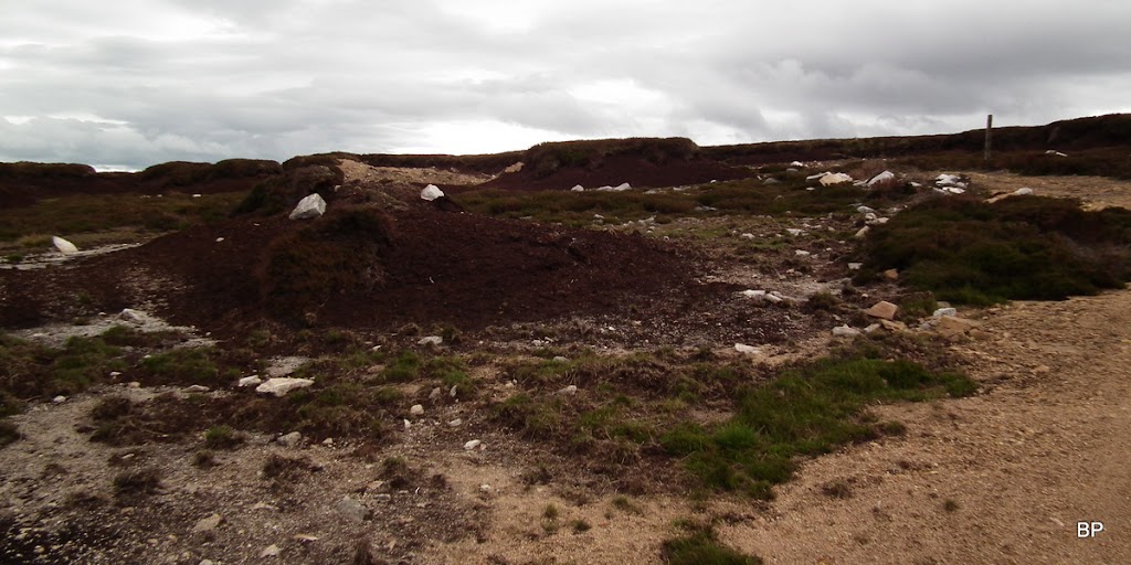
On the other hand, if it wasn't for the track, we would have to endure miles and miles of peat hag challenge over terrain like this:
To make the long trudge more entertaining, I started climbing peat hags with more bats in my belfry!
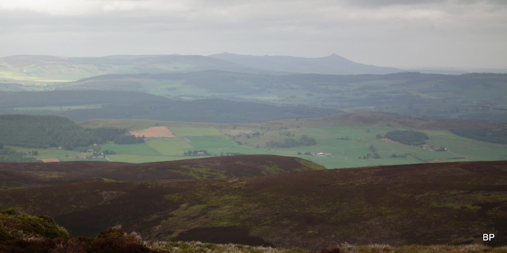
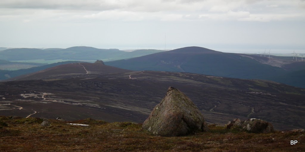
Distant Bennachie on the horizon:
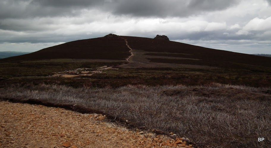
The track just goes on and on over featureless moorland. We hardly noticed going over three minor tops: Hill of Edendocher, Sandy Hill and Hill of Badymicks. Mind you, if we walked over The Hill of Crazy Panthers, I probably wouldn't notice, either
Hat and gloves are not the result of bats in my belfry. It was windy and quite cold as for June!

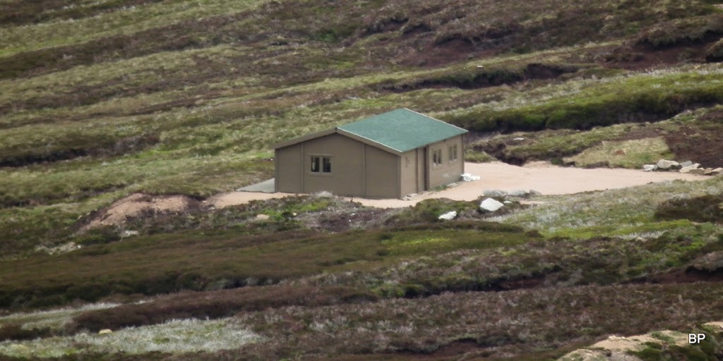
Apart from the track, we saw other proofs of human activity here, like this small day-cottage. We took a detour to investigate
It was locked but we peered inside through the windows, and it's a fully furnished kitchen-and-diner residence
Probably a resting hut for grouse shooters, as the whole ridge is dotted with grouse butts.
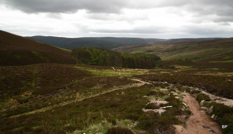
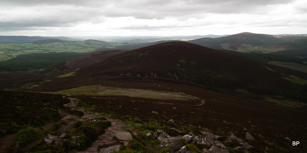
We finally lost the nasty track about 100m below the Corbett summit. I know, this ain't an area of exquisite beauty, but I enjoyed the vistas - as much as we got:
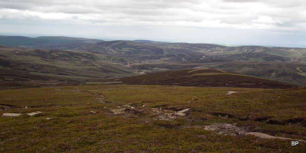
Looking back to Clachnaben from Mount Battock:
Zoomed... Of course there must always be a windfarm or two to spoil the view
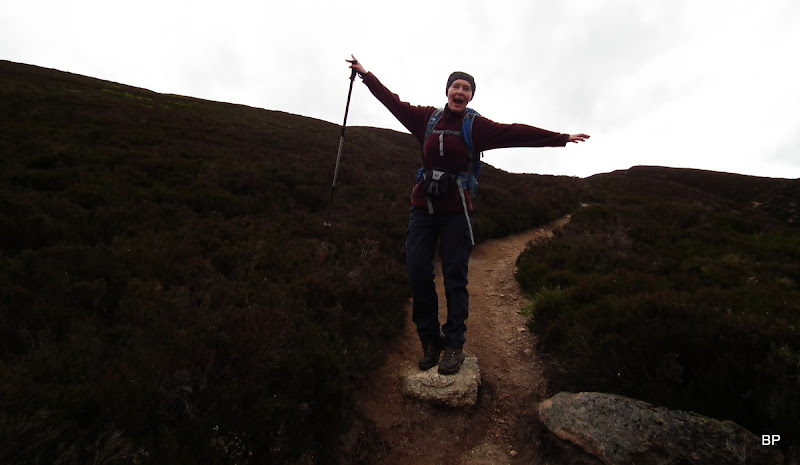
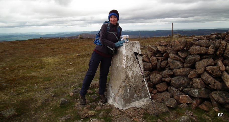
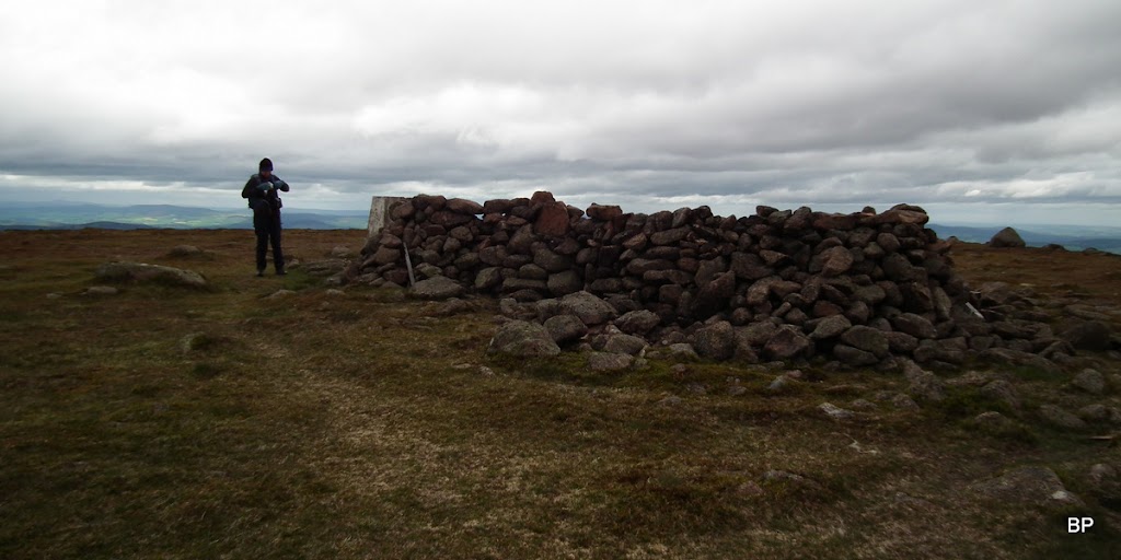
The summit of MB is a flatt-ish area with a large cairn, a trig point and a fence (which we didn't have to climb, coming from the east). Lucy bagged her third Corbett, I ticked off my 92nd!
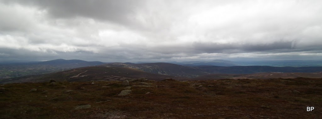
Again, like the day before, we saw showers passing by, but none was close enough. Just a nice addition to the pictures. It wasn't a grand day for photographing, such a shame, but I was glad to be out and enjoying the hills, even if we didn't bring back any excellent shots.
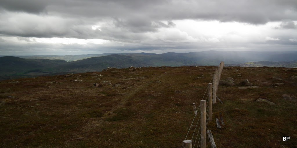
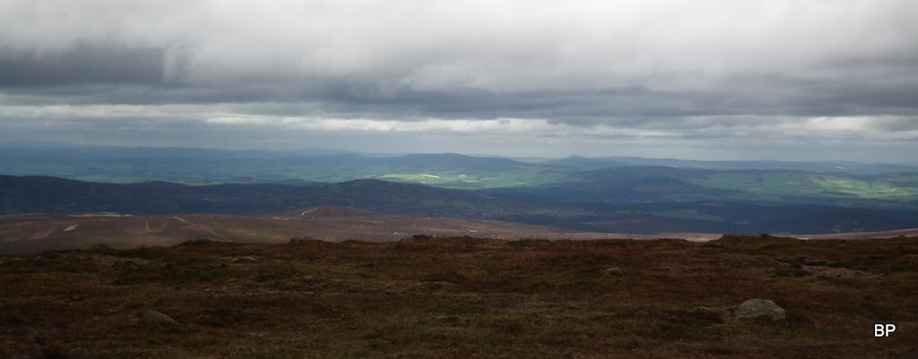
On the western horizon, we should be able to see the White Mounth peaks, but the lingering cloud spoiled distant panoramas. We could just about make out Mount Keen:
Glen Dye to the east:
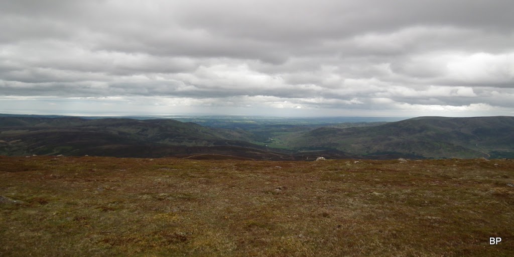
Moody Aberdeenshire:
The summit shelter:
After a short snack break on the top, we agreed that we would return via Glen Dye, just to make the walk more interesting. I didn't really fancy walking back the same way, on the nasty track all the time

Weather has improved ever so slightly:
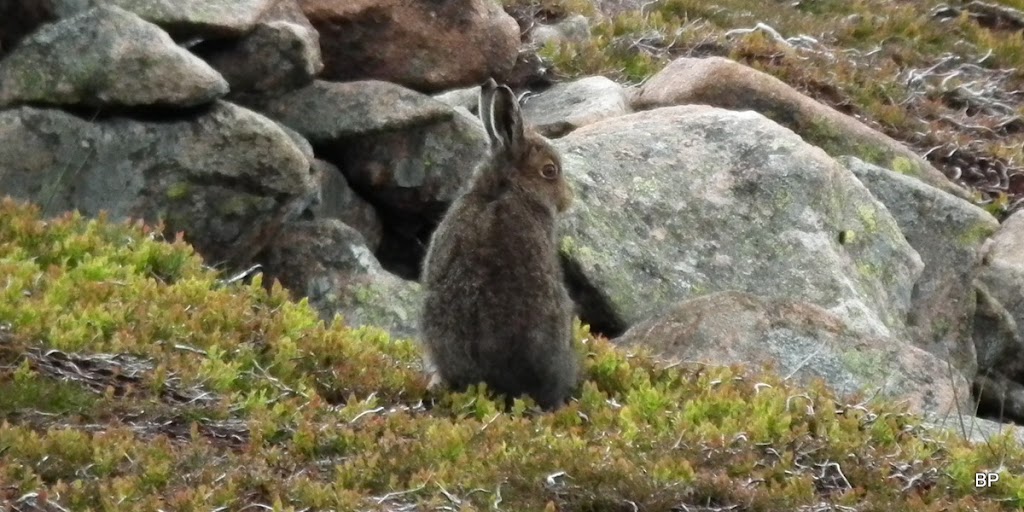
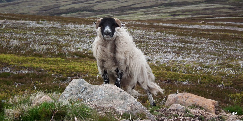
Just below the summit we met this little furry fellow. He (she?) was chewing vigorously at his/her lunch and didn't even notice us walking past:
Back on the track, we had a scary encounter with the Battock Devil himself! He looked like he was going to say: what are you doing on MY mountain????
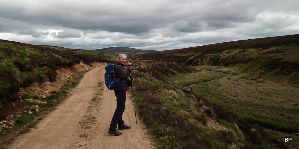
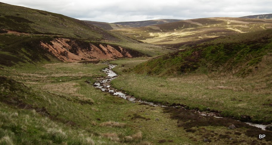
On the first col, between Mount Battock and Hill of Badymicks, we turned right to a track descending to Glen Dye. This one took us quickly downhill to a quiet, green valley full of bleating sheep and bouncing lambs, lots of little birdies of different species, plenty of grouse and not a person in sight!
View back to Mount Battock from upper Glen Dye:
Still a bit batty on the way back, but soo happy to be on the loose!
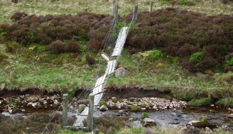
Glad I didn't need to go over this wobbly bridge!
The quiet Glen Dye:
The Dye track can be followed all the way back to Miller's Bog, where we joined the outwards route. It's a long trek, over 27km circular, and some may consider it not worth the hassle, especially that there is an easier way up Mount Battock from Glen Esk. But no regrets from our side. It might have been a batty day, but we had fun nevertheless
The next one of my long cue of delayed reports will involve biking almost to the very summit of a certain Corbett.
