free to be able to rate and comment on reports (as well as access 1:25000 mapping).
What? Sotan, Carnan, The Hoe, Carn Ghaltair and Muldoanich
When? Tuesday August 11th to Thursday August 13th
Weather? Cloudy, sunny, wind from light to brisk, cool
Who? Sgurr and R
Distance? Sotan 2.6 miles, Carnan 2 miles, The Hoe 2.04 miles, Carn Ghaltair 2.64 miles and Muldoanich 0.8 miles
Ascent? Sotan 633 feet, Carnan 896 feet, The Hoe 567 feet, Carn Ghaltair 741 feet and Muldoanich 503 feet.
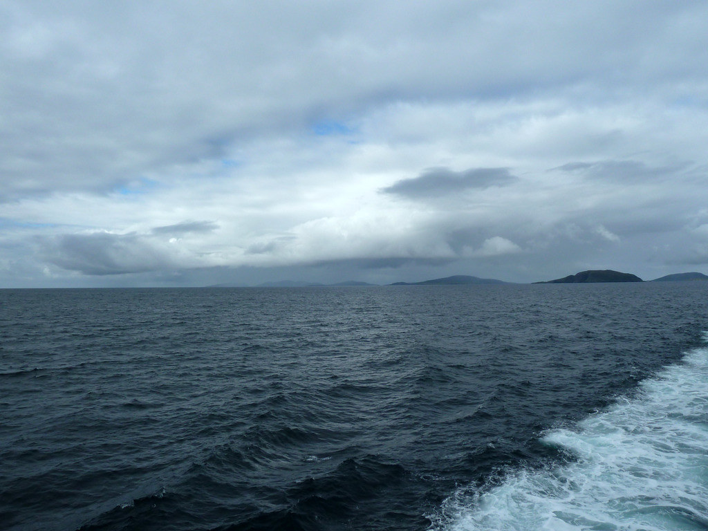
Many more miles motored, but ascent only up and down in the waves on board the
Boy James.With a holiday to Barra planned, we were very vague about how we might manage to climb any of the hillls on the Bishop’s Isles. We knew that some folk had got together through Marhofn (the Marilyn Hall of Fame Newsletter), hired a boat and done them all in a day, but we doubted if we were capable of packing them all in to twelve hours, or even if we were, would be too embarrassingly slow to attempt to do it in company. We were very pleased to find the Information Office in Castlebay open on Sunday, and even better pleased to find it advertising tours to Mingulay. We had already established that Vodafone seemed to have no signal on Vatersay, having tried it on the summit of Heishival Mor that morning, but the assistant kindly agreed to phone the tour operator for us. Realsquiz explained that we would like time to climb the hill there ( Carnan) and if possible Sotan on Berneray as well. He thought the weather didn’t look too good for Monday (it was still recovering from gale force winds in the Minches the previous day) but he could take us on Tuesday.
This is the guy you need: Donald B. Macleod Tel. 01871890384 or 07807235374 or email
dbmacleod2@gmail.co {
EDITED 2018 the Boy James is now skippered by Francis Gillies 01871 810 679.}
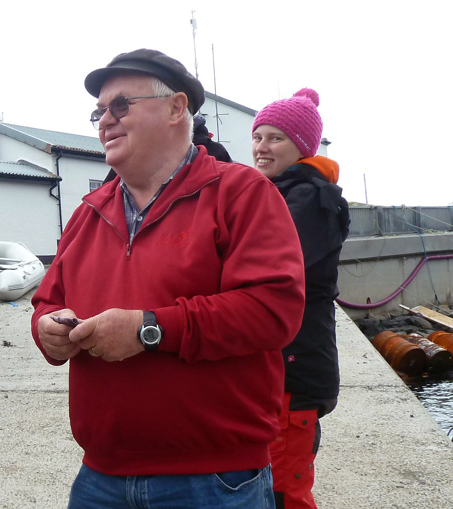
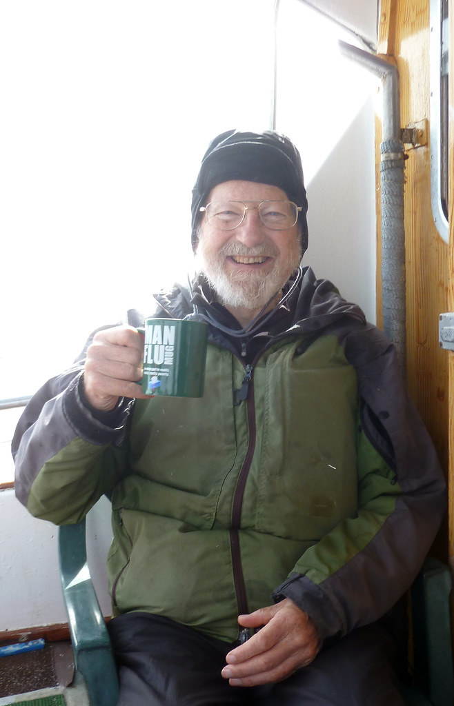
We arrived at 10 a.m. on Tuesday and set off in
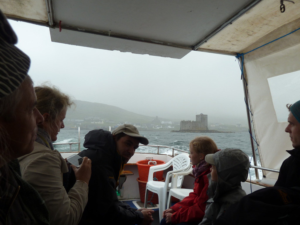
The Boy James.Coffee and biscuits were served both going and returning. I had the Persil Washes Whiter mug, but R was landed with ManFlu. (I later spotted a Playboy mug, but that was reserved for the younger men).
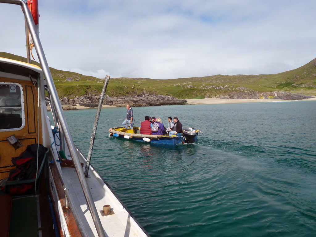
When we arrived at Mingulay, most of the other people, except for one guy who decided he would like to come with us, were put ashore where Donald kept a dinghy attached to a buoy.
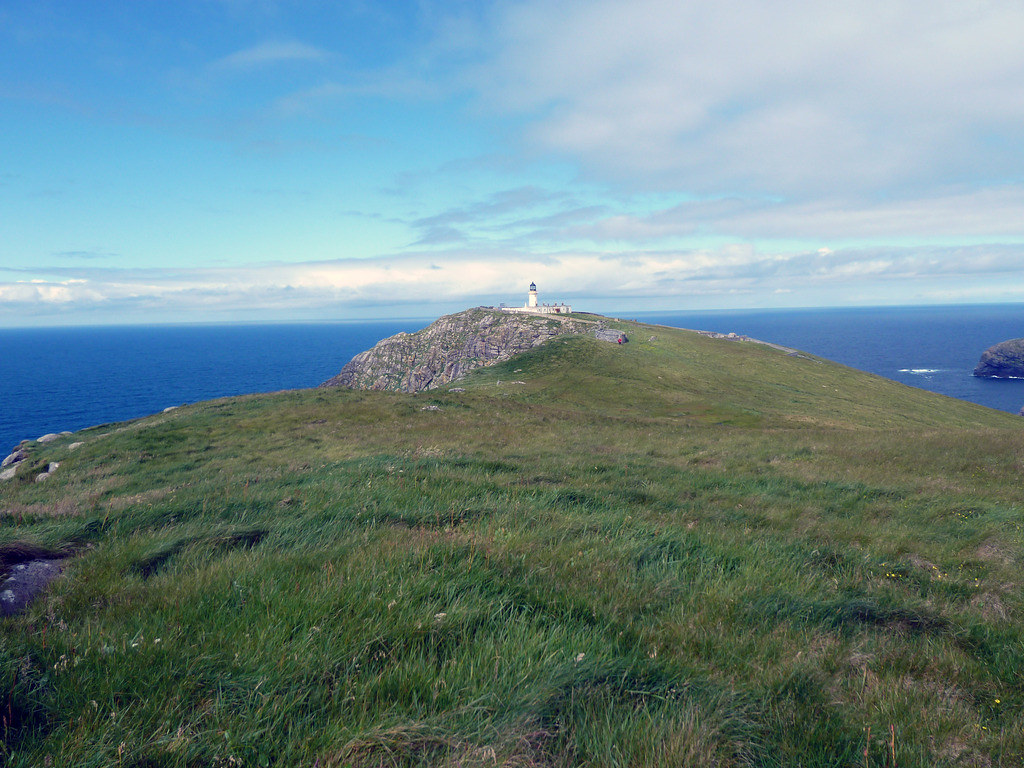
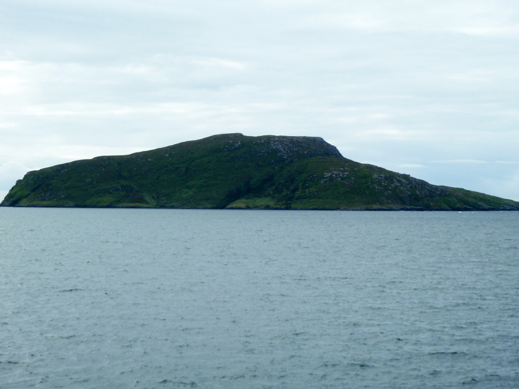
Then he sailed across to Berneray. You can see the lighthouse in the centre of the photo
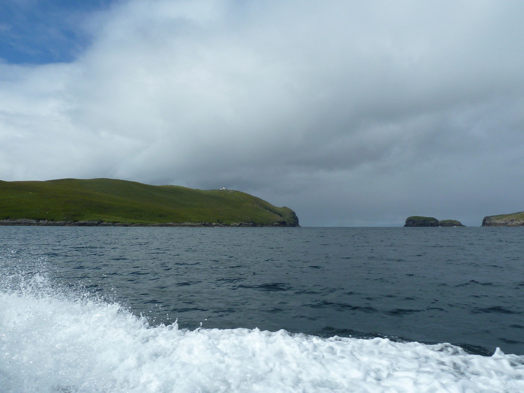
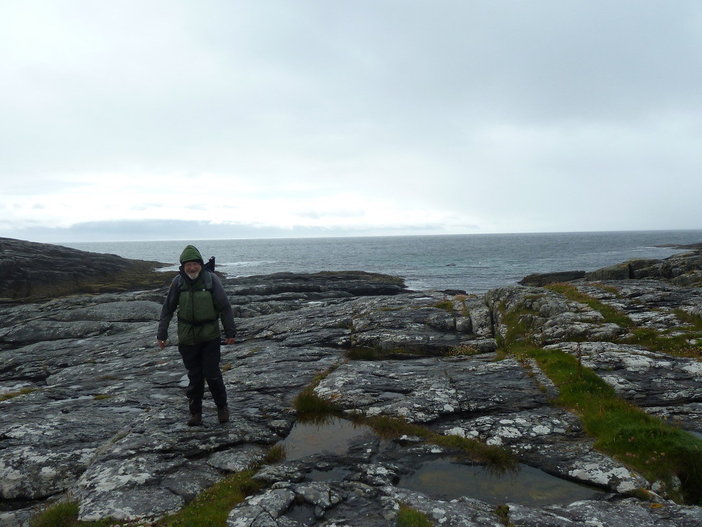
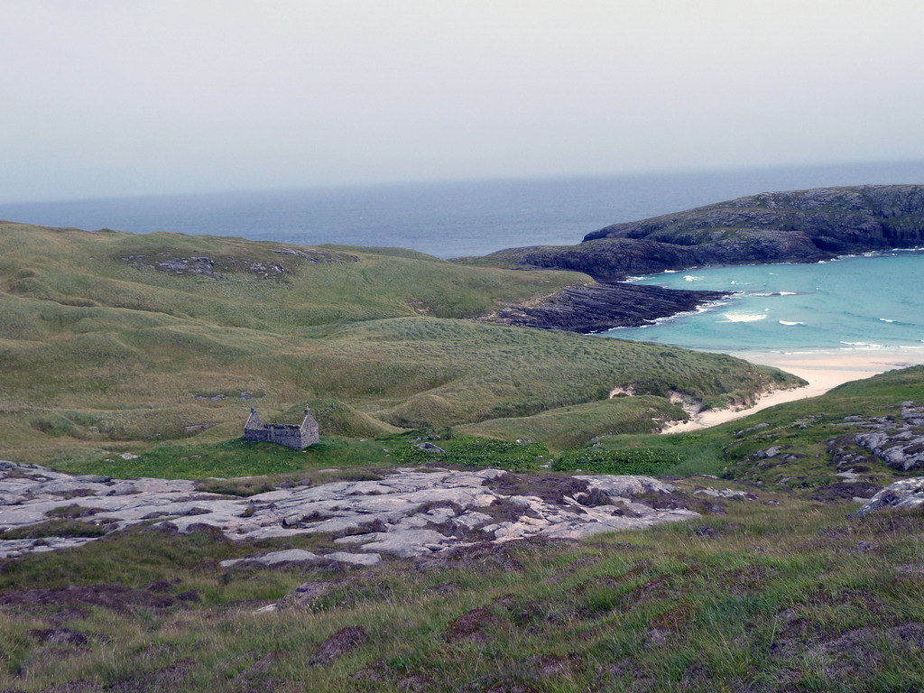
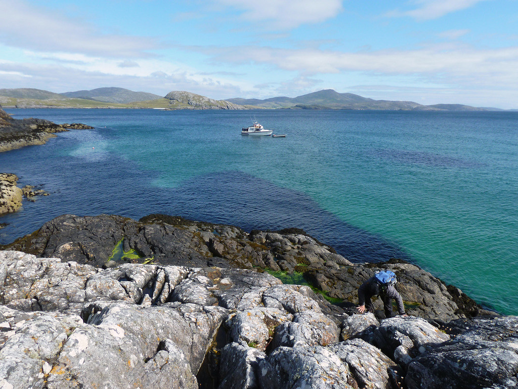
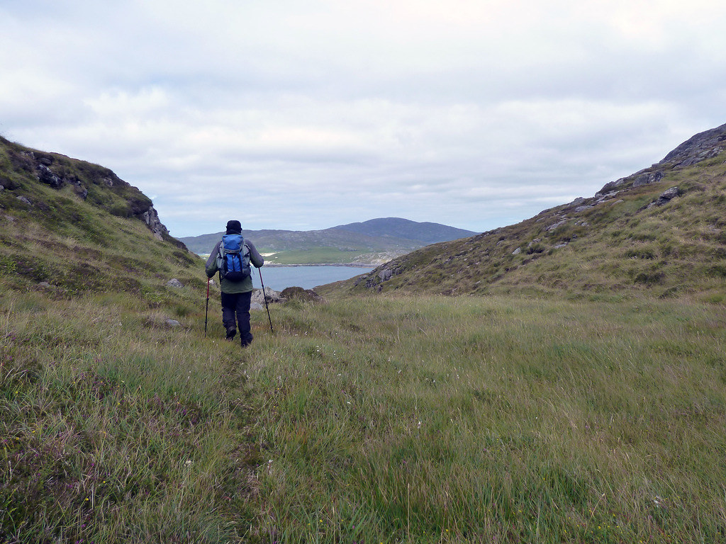
Donald put us ashore at Berneray at NL566805 as there is no longer a pier and where we scrambled up the slippery rocks. Bryan was already half way up the path to the light house before we had regained our balance after the sea trip. You can just spot his red sweater.
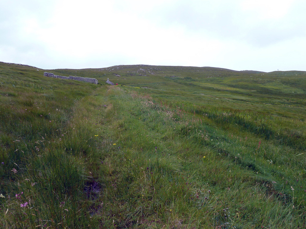
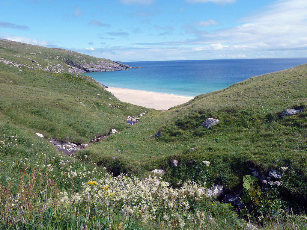
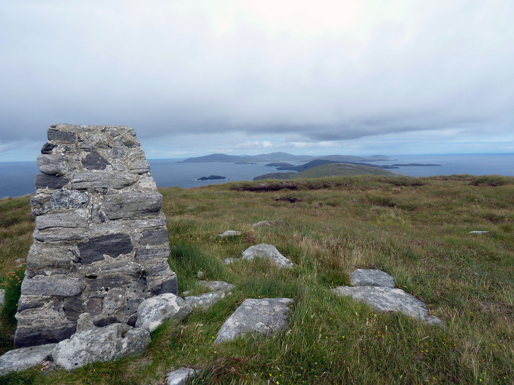
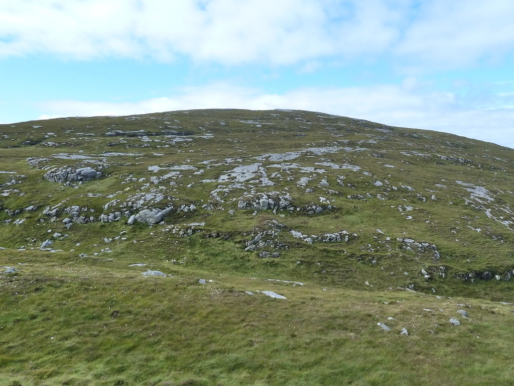
Once at the light house, we turned south and made for the summit of Sotan, past the burial place
Here is the summit area about ½ a kilometre from the track
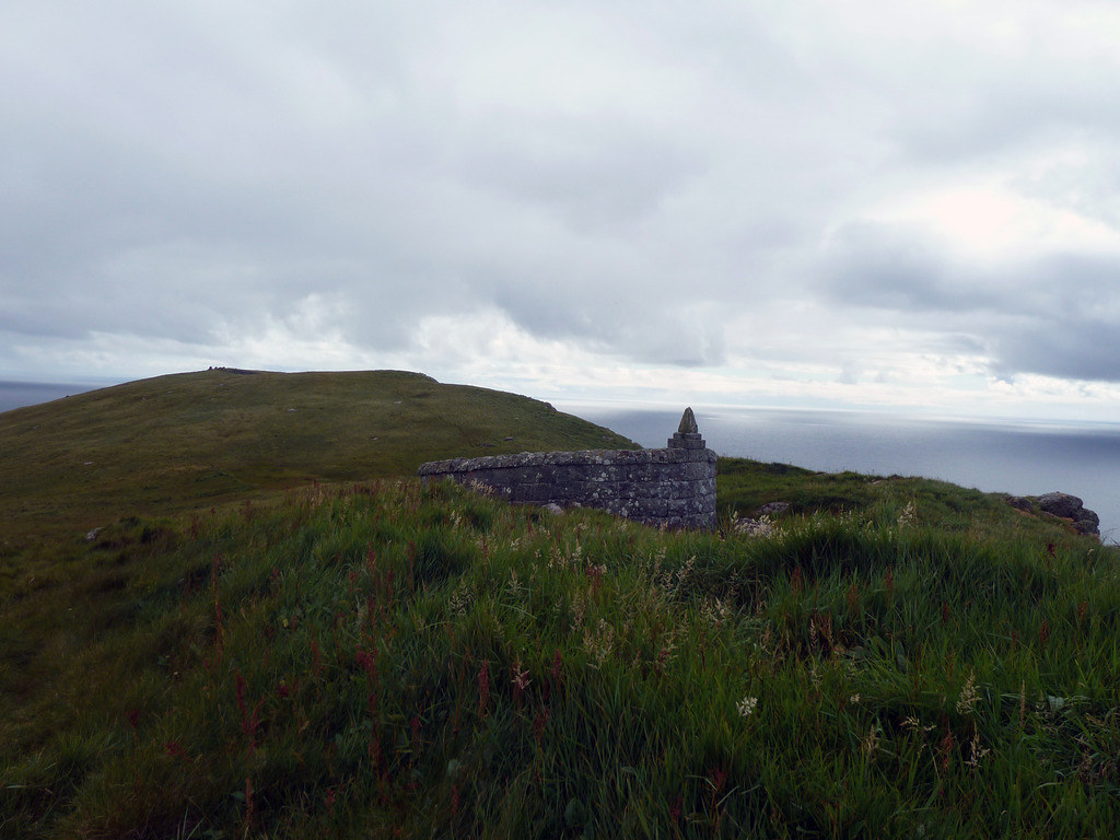
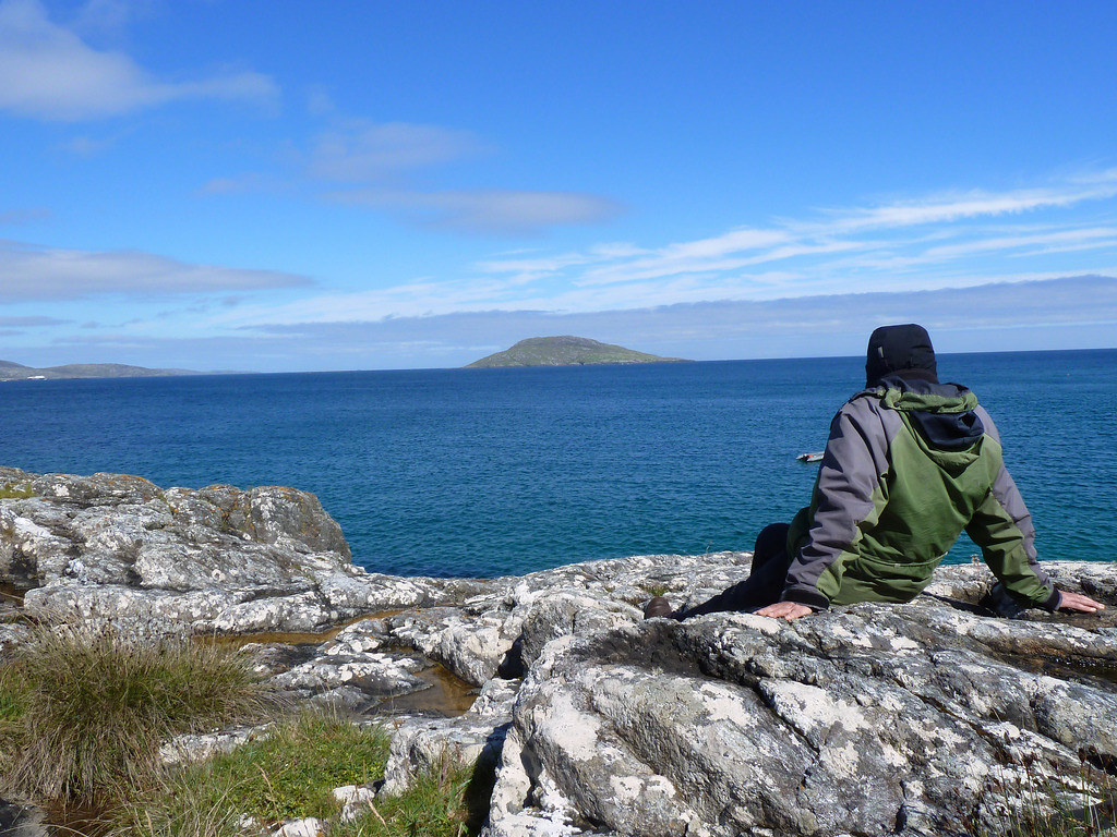
We quickly took summit photos, below, towards the lighthouse
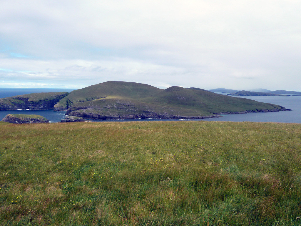
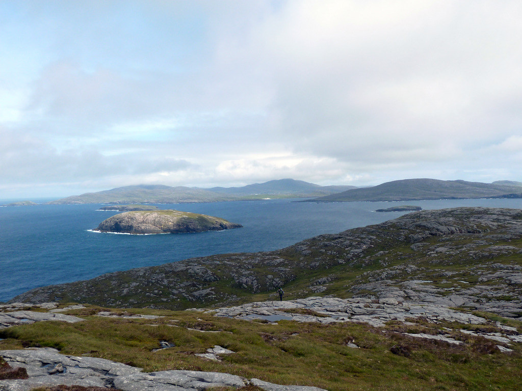
Below, north to the other islands, Mingulay in the foreground
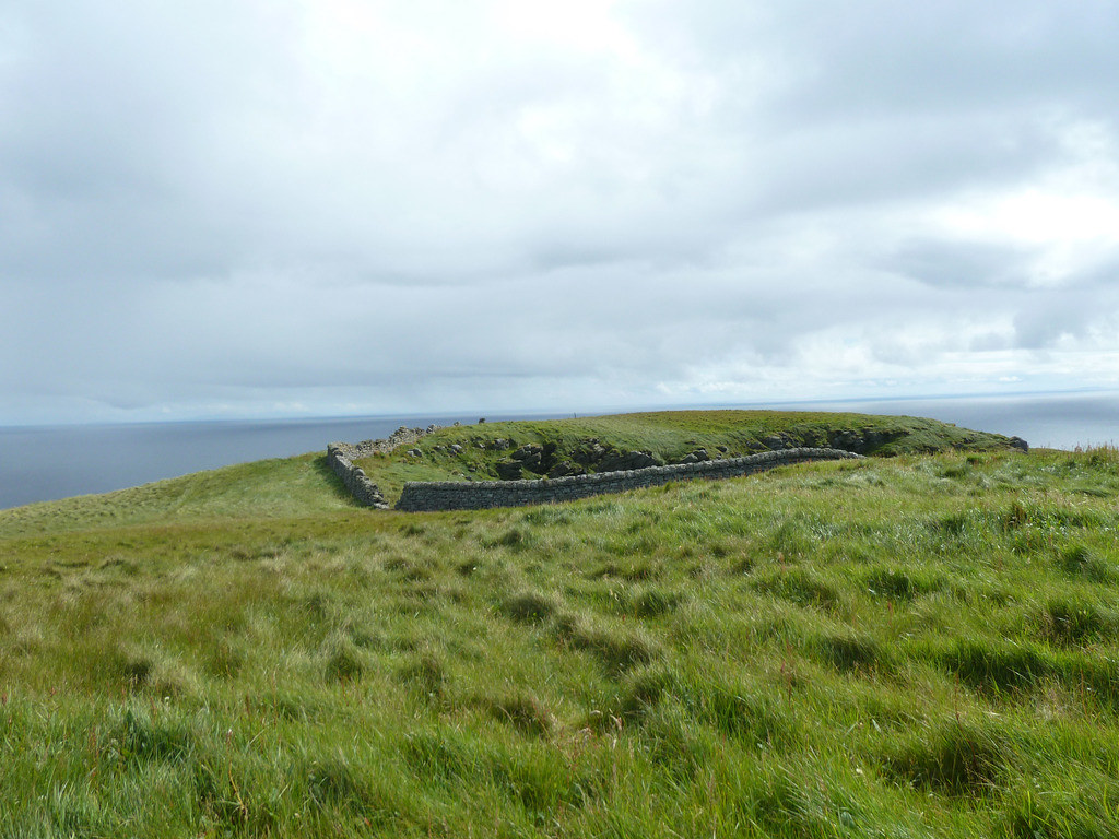
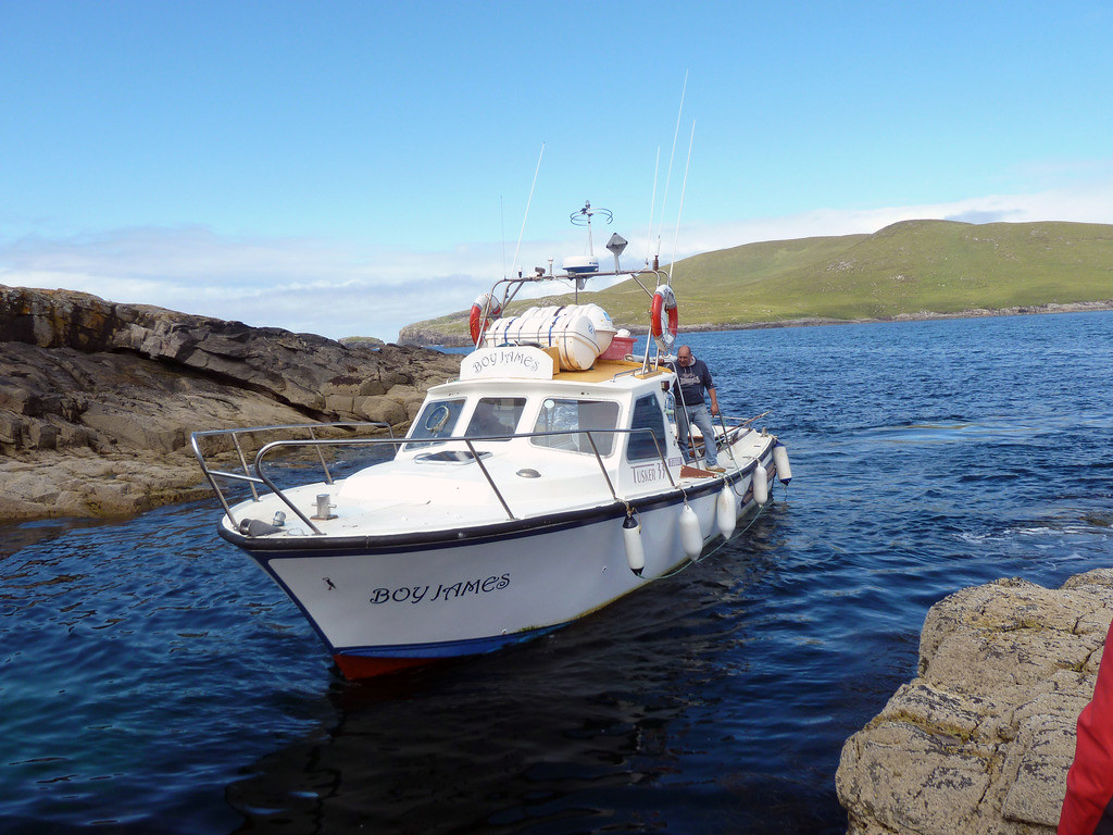
We spotted a bonxie on the way down and were back in the hour that Donald had allowed. Below, the
Boy James arrives to pick us up
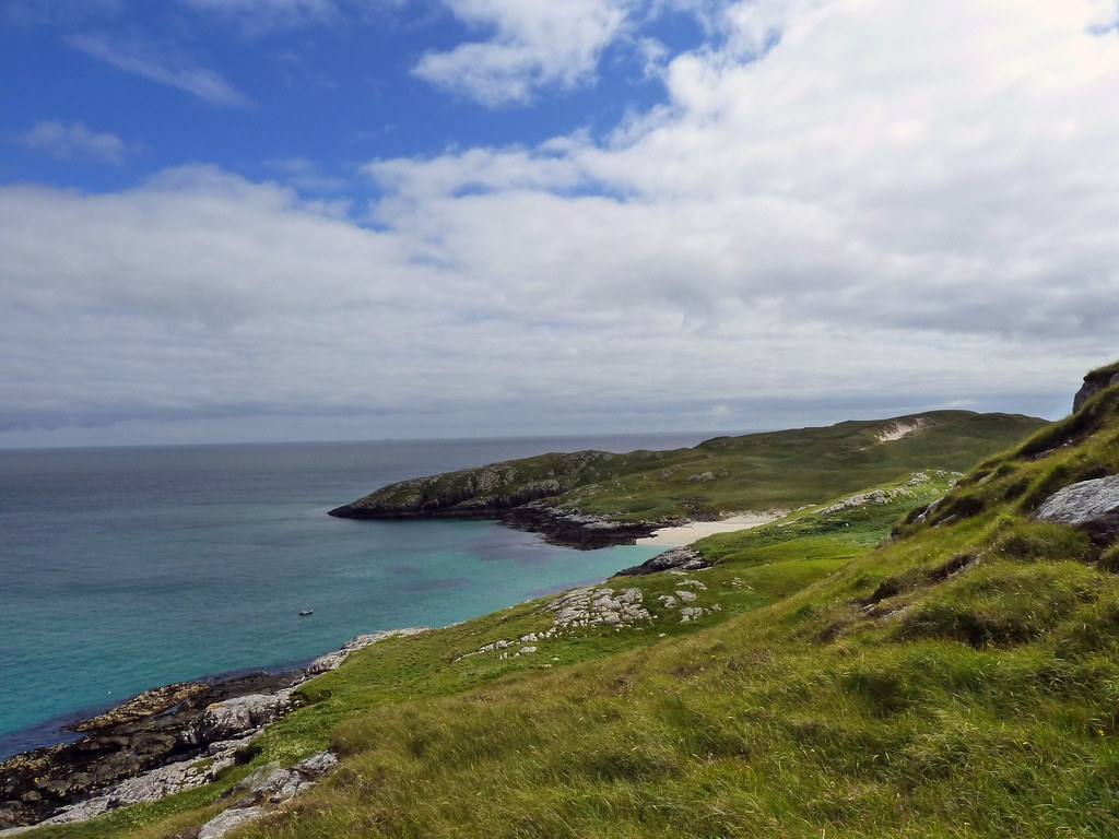
The rocks on Mingulay were even more slippery. We landed at NL667828. Below, Bryan looking back
Some meadowsweet and a beach
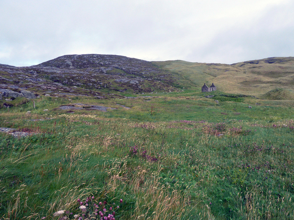
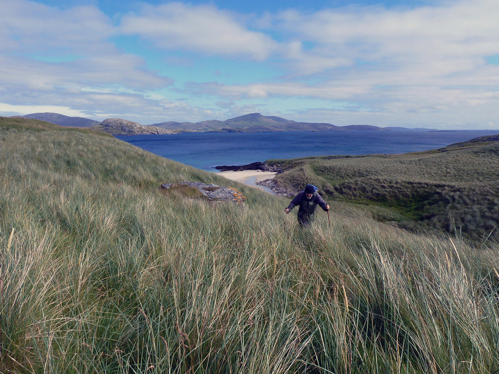
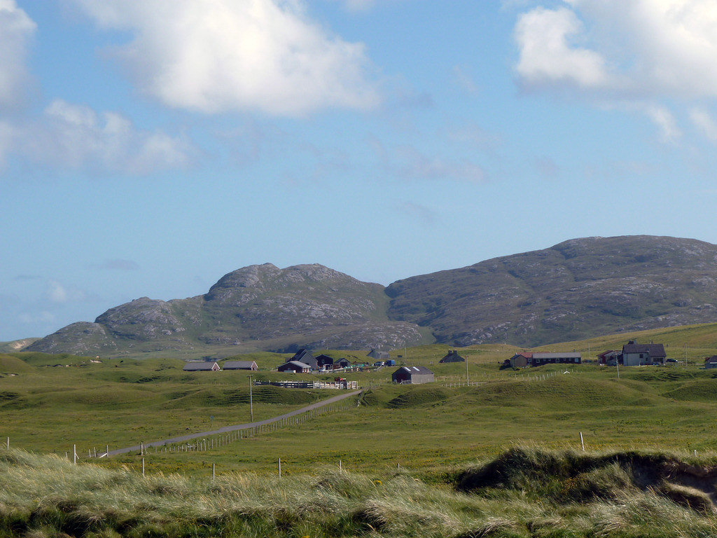
We walked past the old school house, the only building still with a roof, as the National Trust wardens use it.
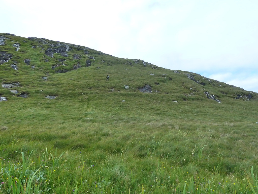
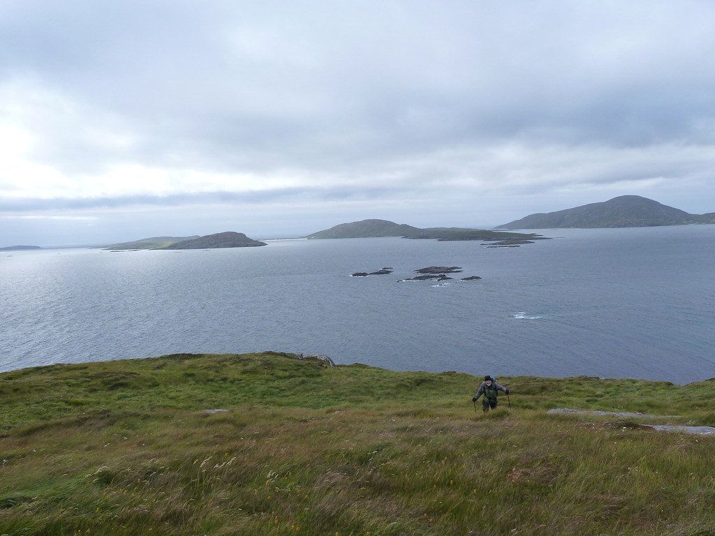
The terrain was energy sapping as the grass and moss were long and it was like walking through deep snow. Although the hill on the left looks higher,the route is to the right
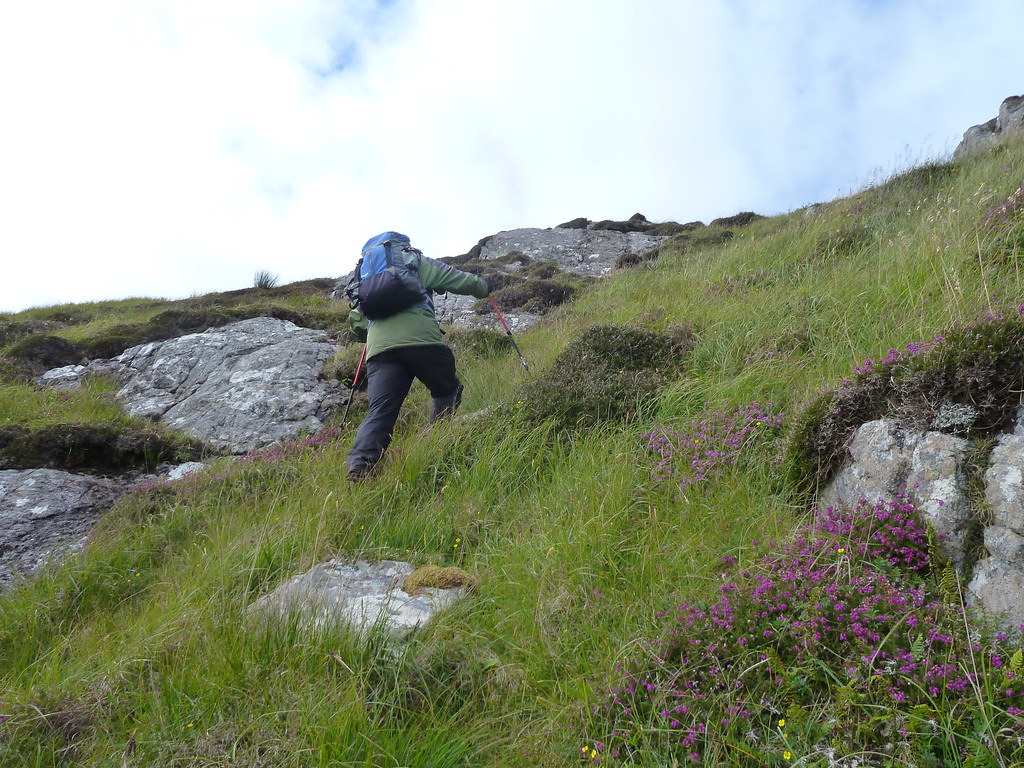
R climbing uphill
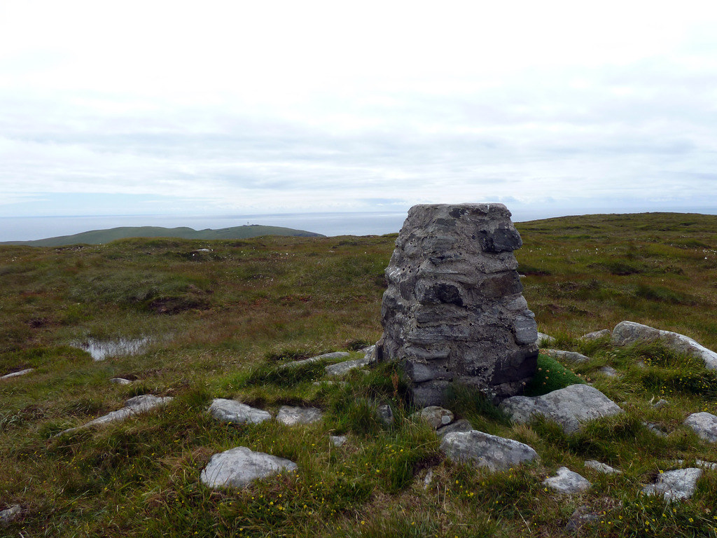
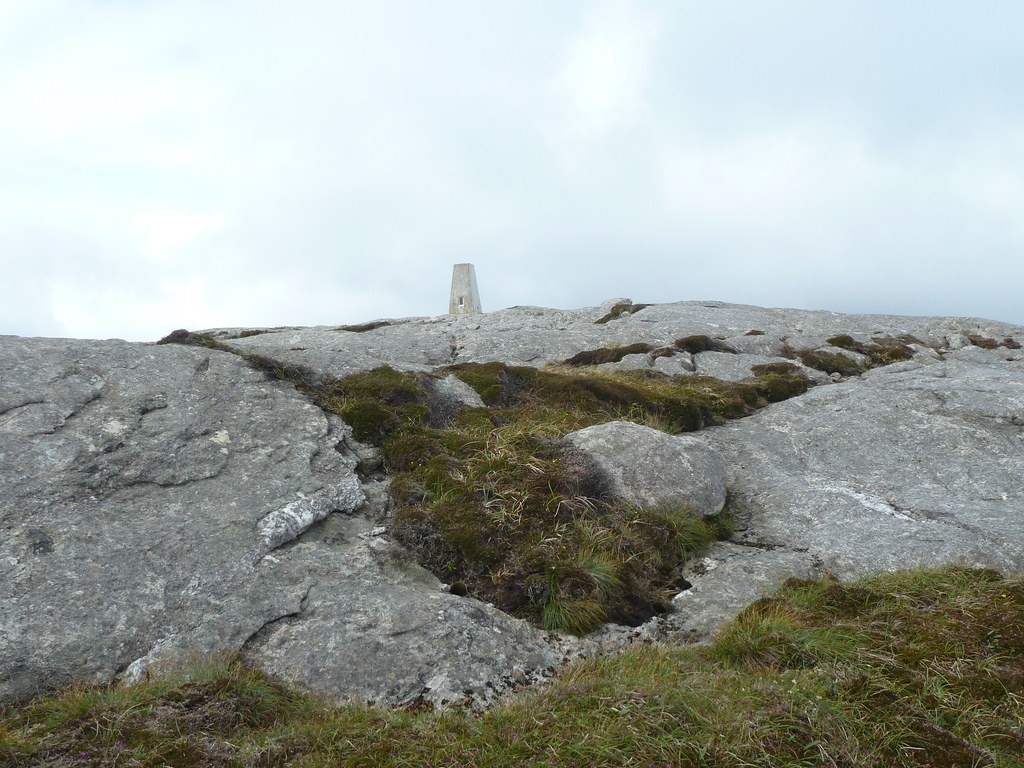
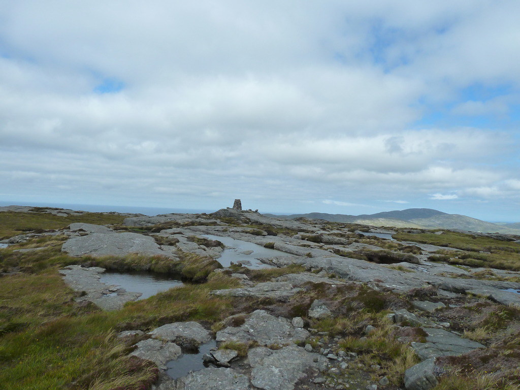
Another similar trig here on Carnan, below, to the islands towards Barra
Below, towards Berneray
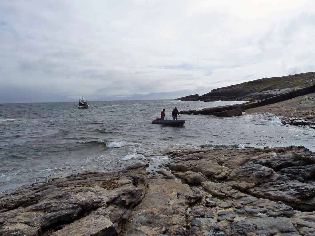
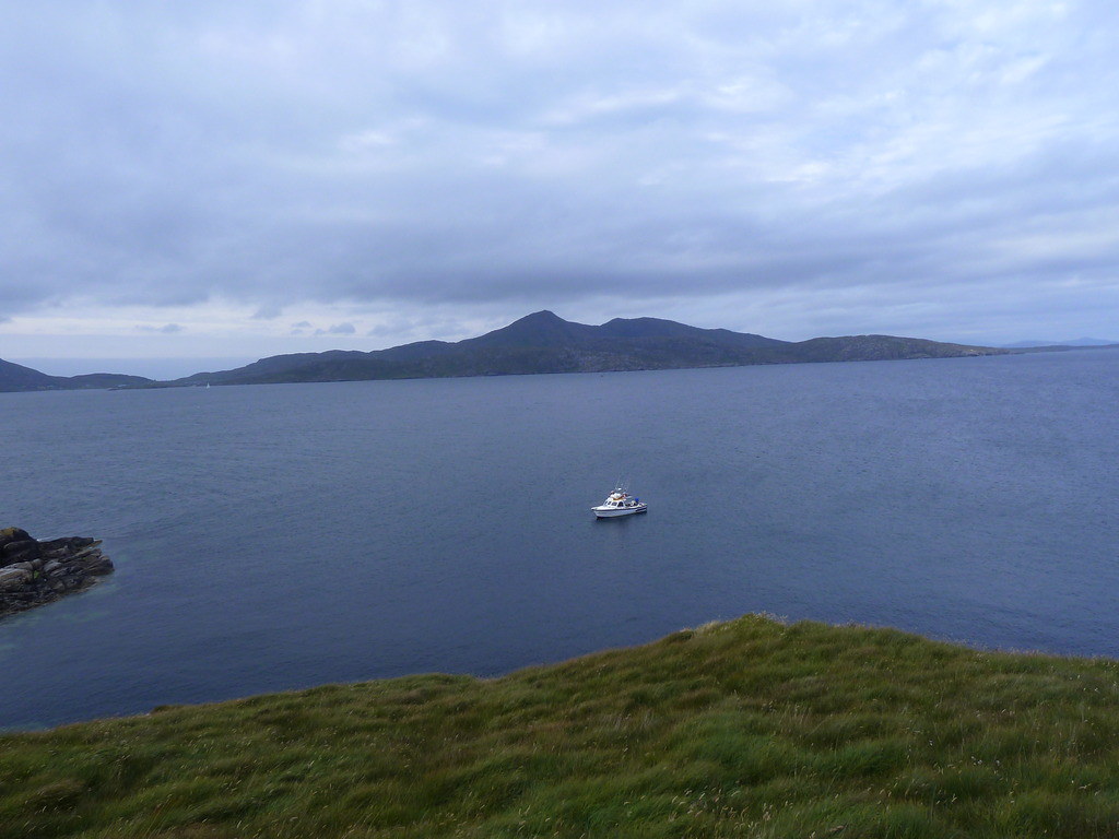
We belted down as fast as we could to meet Donald’s two hour deadline. He had taken the rest of the group round to see the sea-cliffs, some of the highest in Britain, and to look for puffins which had, alas, departed. He had hoped that the late season would have meant a later departure, but no luck. Returning to Castlebay
R asked Donald if there was a chance of doing the other three islands. Donald thought he could manage Pabbay, and would have a think about how we could get the other two.
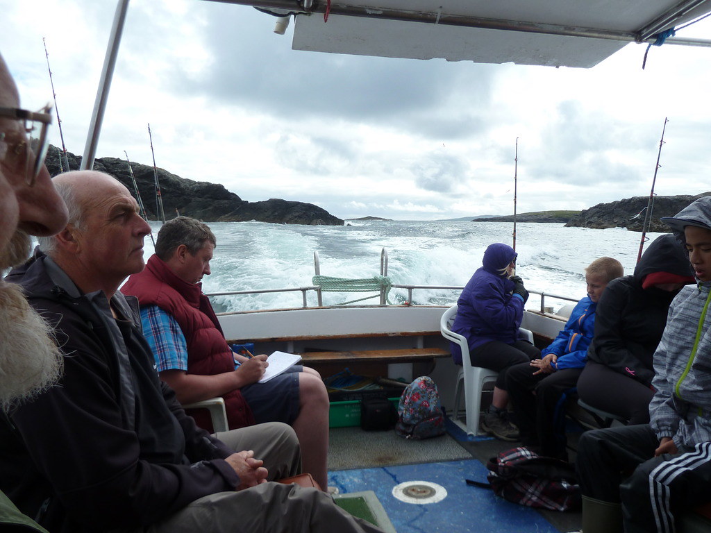
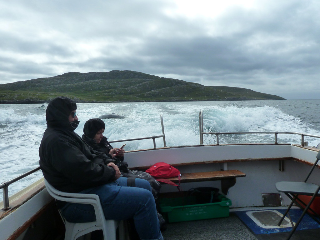
Wednesday saw us with another group on an altogether more serious day as far as weather went. The canopy was erected to stop us being soaked with spray from the bow wave coming over the cabin
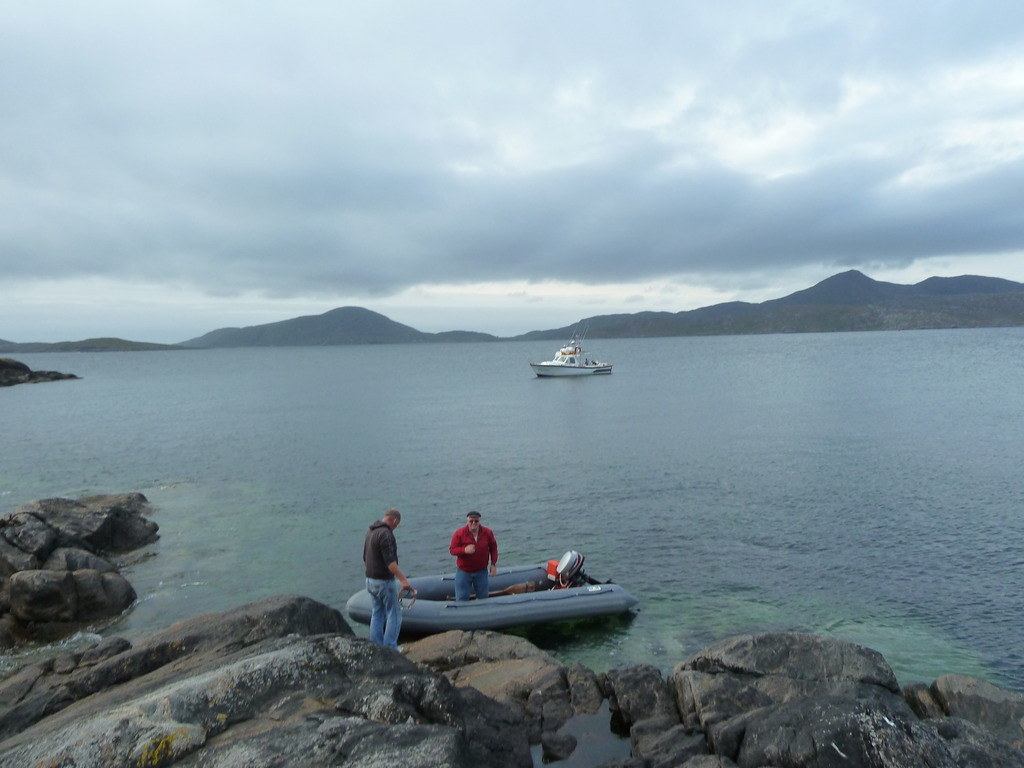
Donald dropped us on Pabbay at NL607872 with strict instructions to get back as soon as we could.
We took a GPS to orient ourselves and make sure that we could find our way back to the dinghy as the terrain here seemed a bit more complicated than the previous two hills.
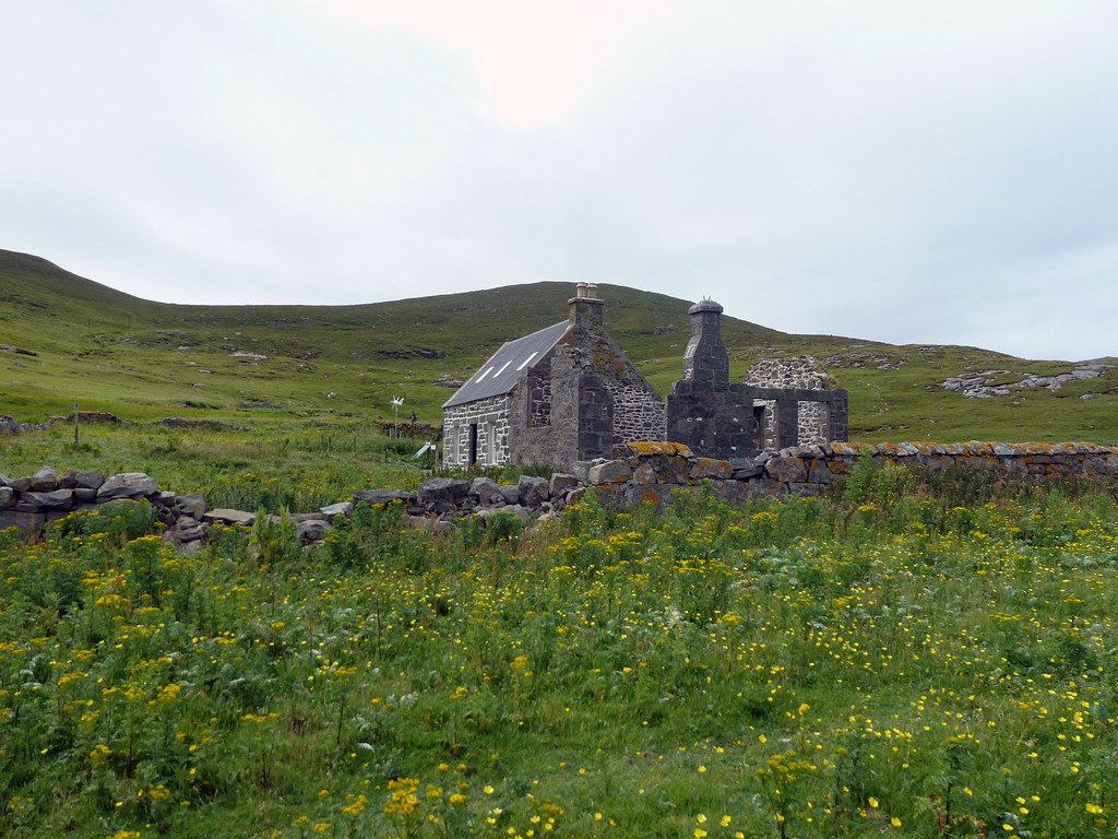
A solitary roofless house greeted us.
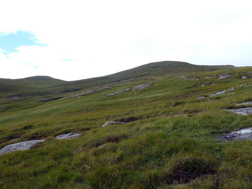
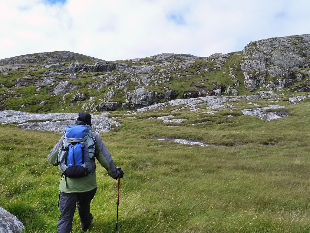
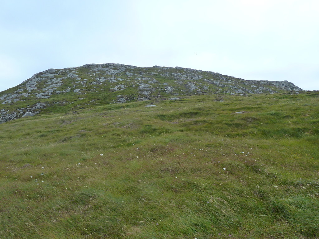
It would have been nice to have time to look around, but we made straight for the hill. We should have climbed higher initially and done more walking over rock rather than trying to skirt round the first hill and then climb over it to reach the second.
High up enough to spot the summit
A steep pull up to the summit of The Hoe
Looking back towards Barra
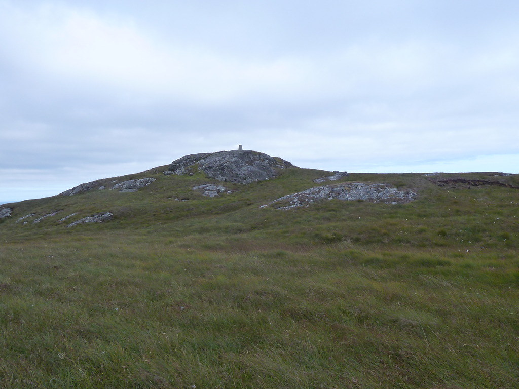
The trig
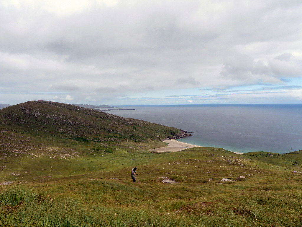
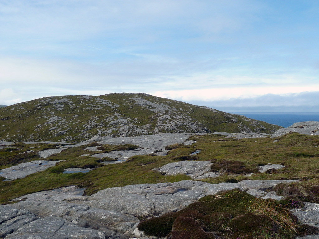
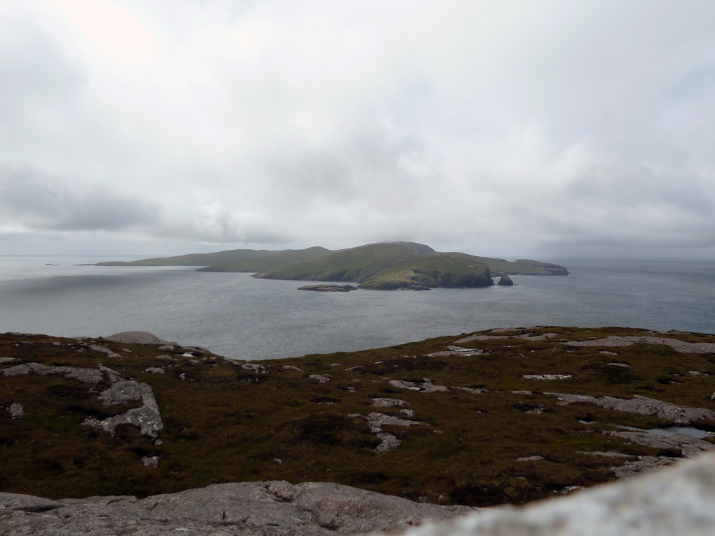
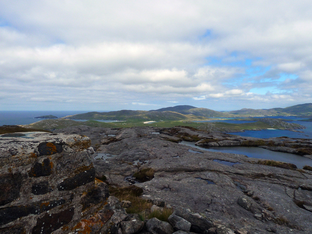
Looking south to the islands where we were yesterday
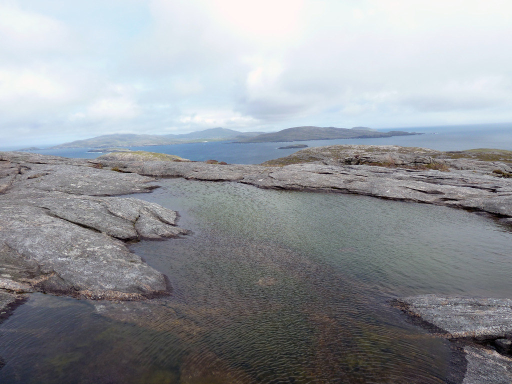
And north again towards Barra across a tiny pool
We stuck to the high ground and the rocks as long as we could to avoid the worst of the vegetation. Below, the solitary house
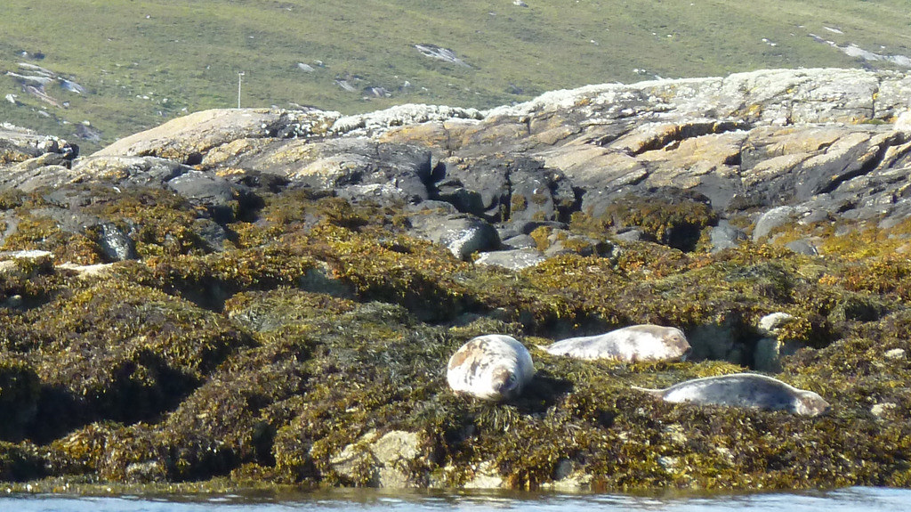
We were down in plenty of time, enough to spot a head that kept popping up to take a look. Seals are very curious animals, and when the boat arrived the bay fairly swarmed with inquisitive seals. Donald picked us up around 3.20 p.m., having finished his Mingulay tour at the standard time of 3 p.m.
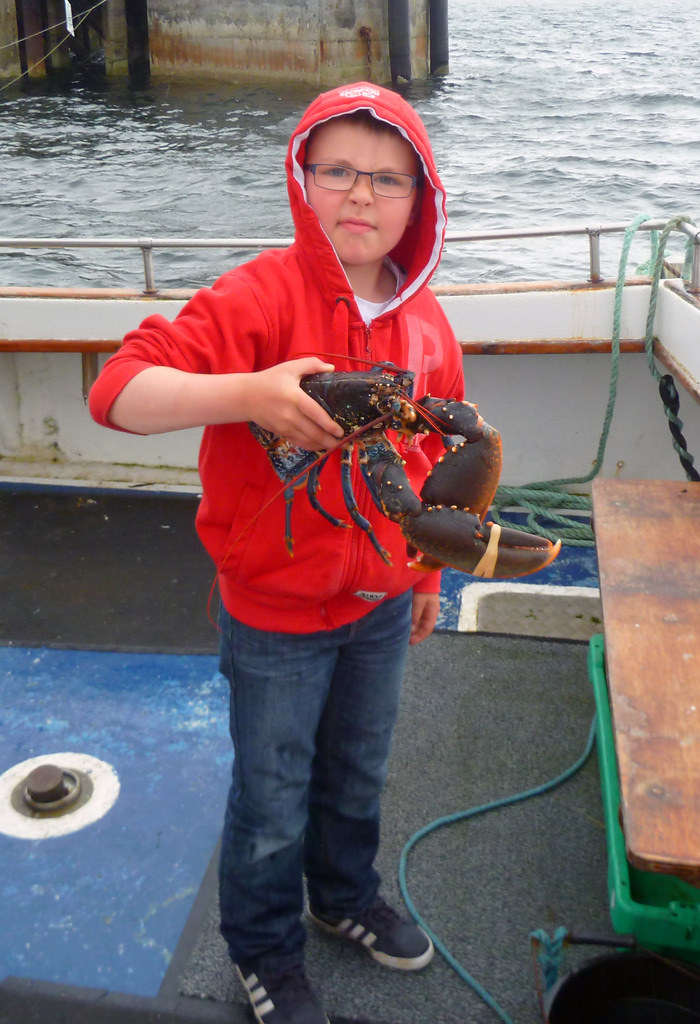
They had lobster pots out when we were up the hills and I made the mistake of complimenting Donald’s grandson on his catch. “Ach, it’s just a wee baby lobster.” he replied
Donald had said he would let us know if he could manage the other two islands, but with Muldoanich being off his direct route to Mingulay, we had our doubts.
Next morning there was a banging on our door, and Donald’s sidekick who is the brother of the owner of the caravan where we were staying had arrived, and asked if we were up for another trip.
Were we up for it? Is there a statue overlooking Castlebay?
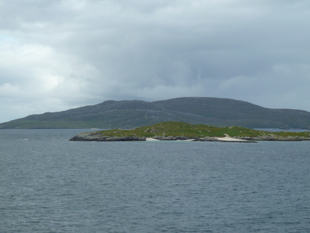
Another motley crew set out. The lady in the centre lived all her early life on Vatersay, and her grandfather had lived on Mingulay. She sang us the Mingulay boat song and we were only too glad not to have to heave the sails in this weather, or yesterday’s and equally glad we were to be dropped off on Sandray before the waves got really big
We had to go round to the Vatersay causeway to pick up a dinghy, and realised it had probably been touch and go as to whether there were enough people to make it worthwhile, otherwise Donald would have had it in position when we joined the
Boy James. However, the diversion was worth it for the rest of the party as well, since we got to see seals on the rocks
We left the
Boy James even earlier, but today Donald decided to test our timekeeping by saying there was a possibility that they couldn’t land on Mingulay, and we would have to eat our lunch not on the top, but make sure to wait until we were back at the dinghy again. There was no permanent buoy at this end of Sandray, so they had to drop anchor to let us off at NL649921.
Below, R scrambling up the steep rocks
We walked south from the dropping off point, which was probably a mistake. In fact, there was an easy route by which we returned.
We walked uphill through the same energy sapping vegetation, there was even bracken on Sandray.
Then when we were level with the dunes, climbed steeply up over the intermediate ridge,
We hit the ridge almost as high as the 189m spot.
Then we descended to the groove between the two ridges at its highest point
And up to the summit cairn of Cairn Galtar
Views
Below, Vatersay looks almost joined on to Sandray
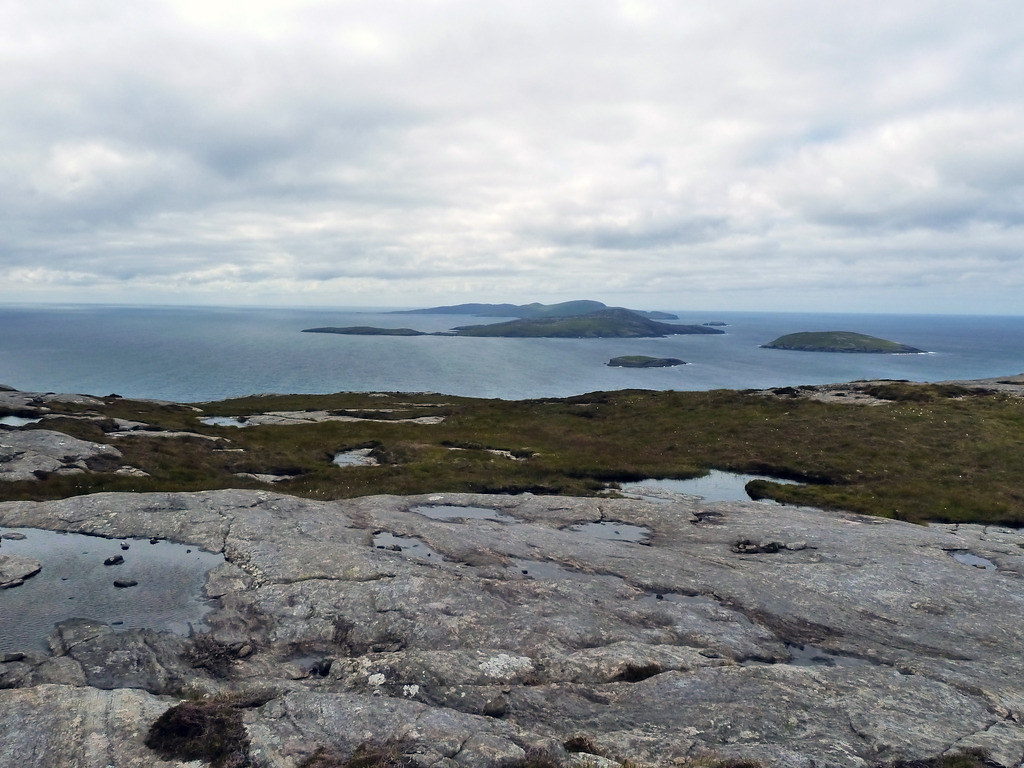
Below, looking south towards the earlier islands
We descended down the groove between the two ridges
Below, the view of Sandray from Vatersay, you can see the groove clearly
We didn’t have time to walk across to where it was obvious they were separate islands.
Back again in a hurry, we should just have worked out that there was no likelihood at all of a speedy return. Below, nearly back
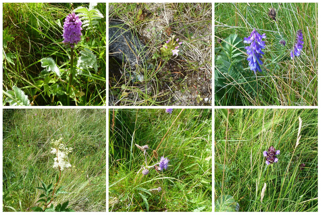
Indeed we sat around for over 1 ½ hours before we saw the boat again. However, this gave us time to admire some of the spectacular wild flowers
We sat eyeing our final destination
We noticed what must have been an eagle soaring over Heaval behind Castlebay.
Looking back at the return route…this should have been the way to go.
Donald hove into view and they motored across to Muldoanich where we were dropped off at NL 694942.
Below Sandray from the Oban ferry the following Sunday
We scrambled up as fast as we could,
And met another bonxie en-route. Luckily the breeding season was over, and it was not behaving in traditional bonxie fashion. On the ferry when we returned to Oban, one of our group asked if we had seen the huge eagle that had flown right over our heads as we were grappling with the landing.


Below, towards the summit
Summit trig of Muldoanich
Looking across to the wee island hills we had climbed

From the summit we could see the
Boy James approaching, and behind Heaval]
I scrambled down so fast that R thought I had gone a more direct way back and tried to follow, with the result that he spent quarter of an hour extracting himself from even more awful long heather in a gully. Below, Muldoanich from the Oban ferry the darker gash is where R managed to descend
The dinghy landed for us
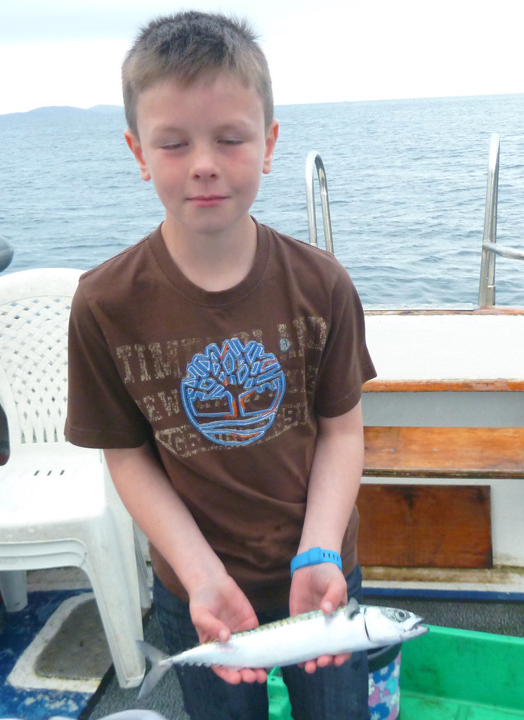
They weren’t worried about us taking our time as they had their rods out and were catching mackerel. Below, another grandson
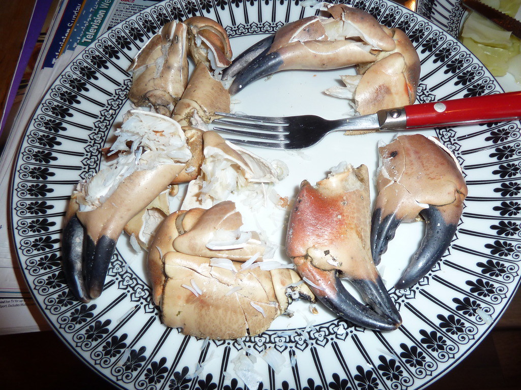
We were thrilled to have done all five wee island hills. If you had asked us at the beginning of the holiday what the chances were, we would have said 100/1 against. We just felt like slumping that evening, but our landlady had dropped off some crab-claws. We had to go next-door to her mother-in-law to borrow a hammer and some indication of how long to cook them. Delicious.
Another skill to add to my pitifully small portfolio of skills learned since age 75.
One evening of our holiday we had watched a news item about hill farming being in trouble again The terrain on those islands showed us what it is like when sheep no longer run on the hills. All hill walkers should ditch their fleeces in favour of wool and should eat a huge lamb stew a week. (The vegetarians can choose between wool undies or doing a Nebudchanezzar ..see Daniel 4.33)
Donald currently charges £50 per adult per trip and will not set out unless there are at least five adults. A party of Marilyn baggers would have to book in advance and take whatever the weather threw at them as long as Donald thought it was safe to go. Doing it day by day may be more expensive, but it is more flexible too.
Below, the Bishop’s Isles from left to right in order of ascent, from the Oban ferry on the Sunday we left
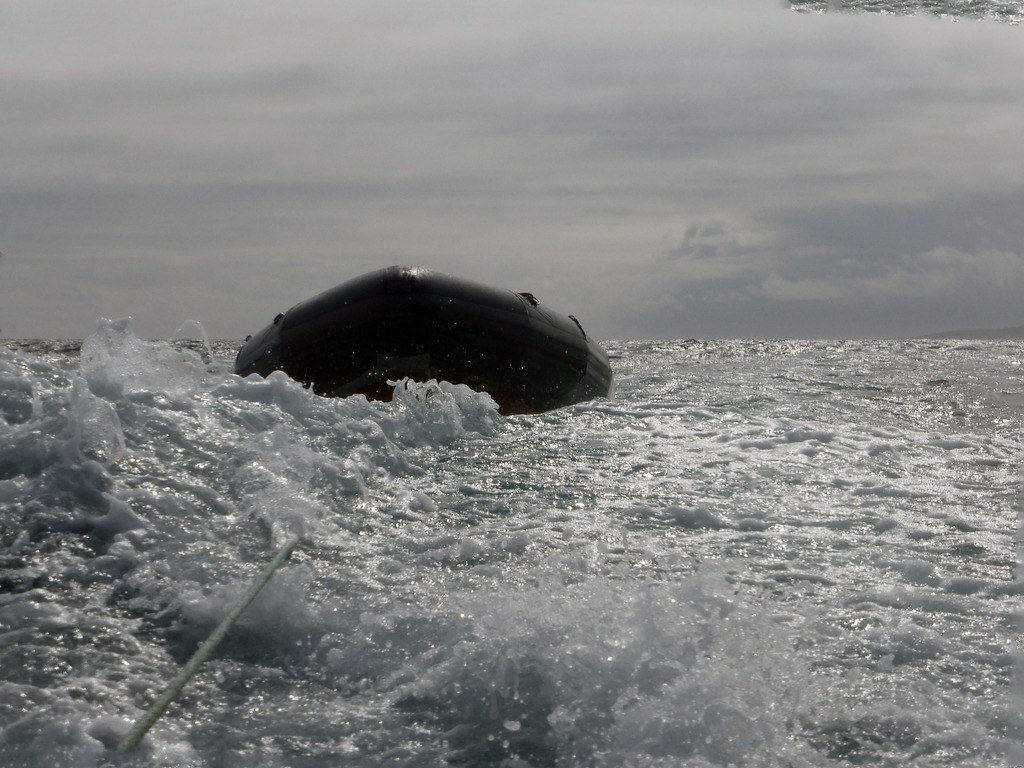
P.S. R has got around to downloading his photos, and this is one of the dinghy bouncing along behind us going back to Castlebay from Pabbay