free to be able to rate and comment on reports (as well as access 1:25000 mapping).
The very idea of approaching Ben Chonzie from Loch Tay was born in May this year, when we were sitting on the summit of Creagan na Beinne (details in my
Buy one get one free in Ardtalnaig report), which offers good view to the north side of Chonzie. We could see an obvious track zigzagging half way up the Munro from Glen Almond and we wondered, if it would be possible to use it to reach the summit. The walk-in would be on Rob Roy's Way and we assumed it should be possible to cross the river at some point. We became so obsessed with our original idea (nobody on WH has posted a TR for Chonzie from the north!), especially Kevin and he was desperate to do it before days became too short for longer outings.
The D-day has eventually arrived in August

We packed in and drove to Altdarnaig, almost 3 hours in the car. Always nice to see Loch Tay again, it may not be the best of Scottish lochs (too touristy) but it has its own charm, especially when framed by surrounding high peaks.
The parking issue in Altdarnaig still stands, it is only possible to leave cars in the village on weekend days, when the hydro scheme building site is closed. It was Saturday and we could use the area marked with "no parking, lorries turning" signs without guilty conscience, as there would be no large vehicles turning around that day.
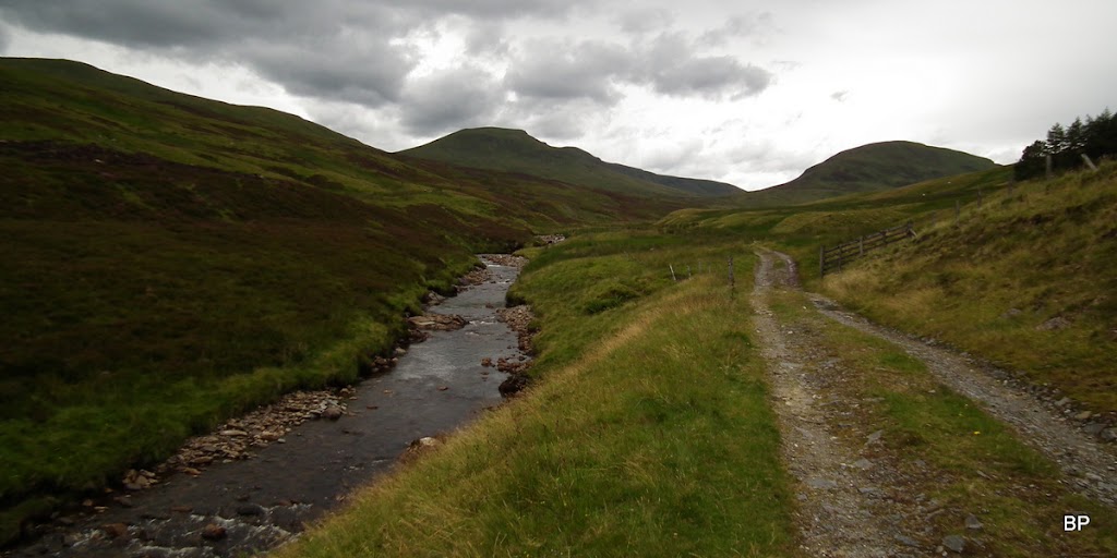
Our route follows Gleann na Chilleine to Dunan, then the vague path along River Almond to the weir, where the above mentioned track climbs Dundornie top. The track ends at about 650m, but the rest of the ascent is on relatively dry, grassy/heathery ground. We returned the same way.
The morning was sunny, but weather forecast for afternoon suggested lower cloud and even scattered showers. Luckily for us, cloud held well above summits all day, and showers only arrived when we were almost back in Altdarnaig.
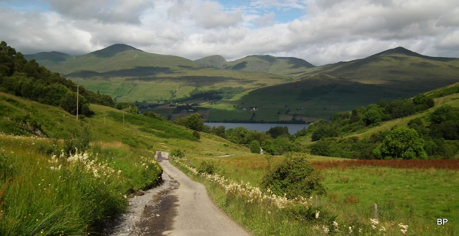
From the village, we took a narrow tarmac road up Gleann na Chilleine, with lovely views to Lawers ridge behind us:
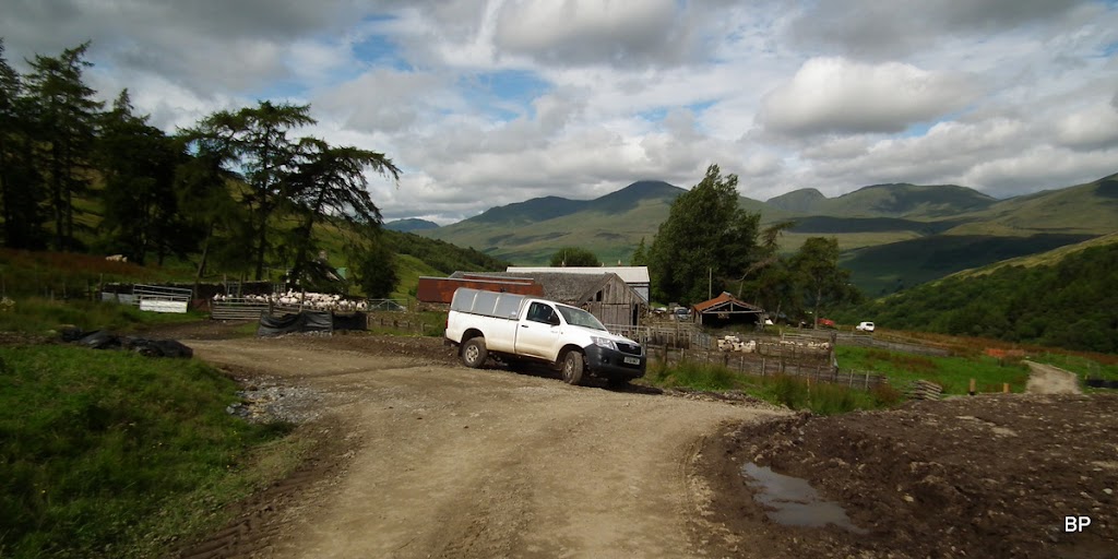
We carefully crossed Claggan farm, as it was sheep sheering time... The noise they made was deafening
At least a hundred of them joined to a chorus of Baaa! song
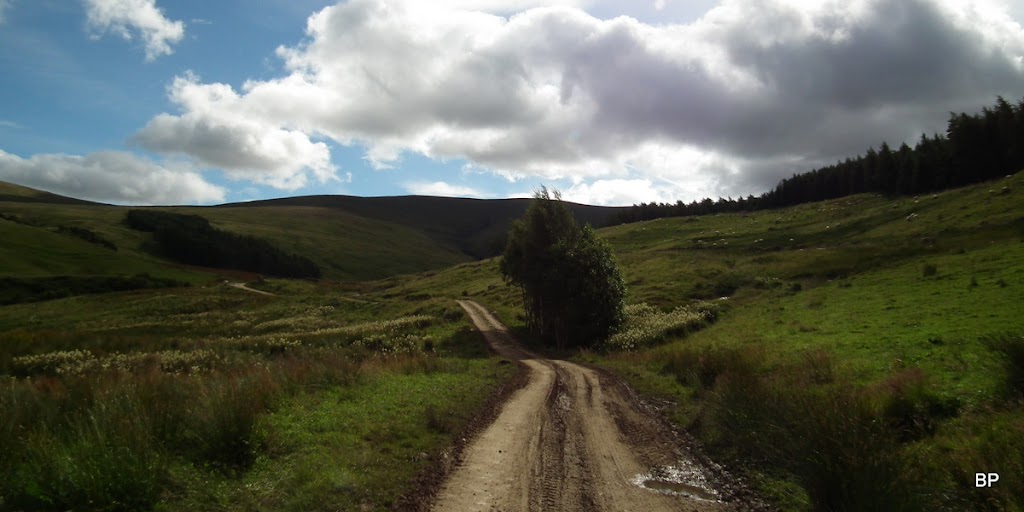
Past the farm, tarmac gives way to dirt track:
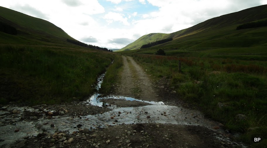
As we kept going, we had to ford a few small streams flowing across the track. They were all in spate and we began to worry about River Almond. Could we get across it? Well, it was too late to turn back now!
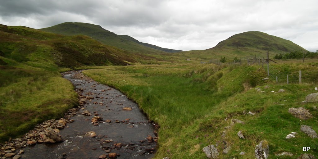
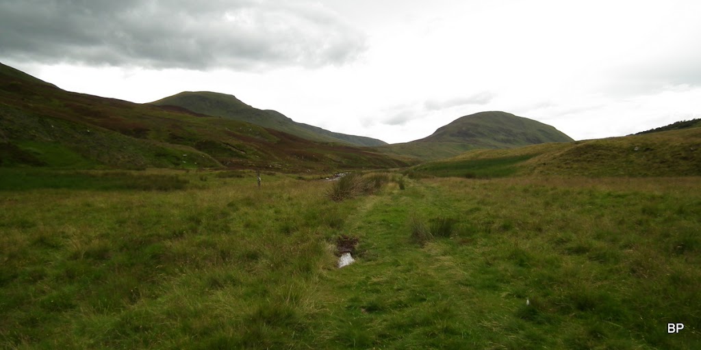
At the moment, we were deep in the glen, surounded by higher hills and the only view we had were to the north, the likes of Ben Lawers and An Stuc:
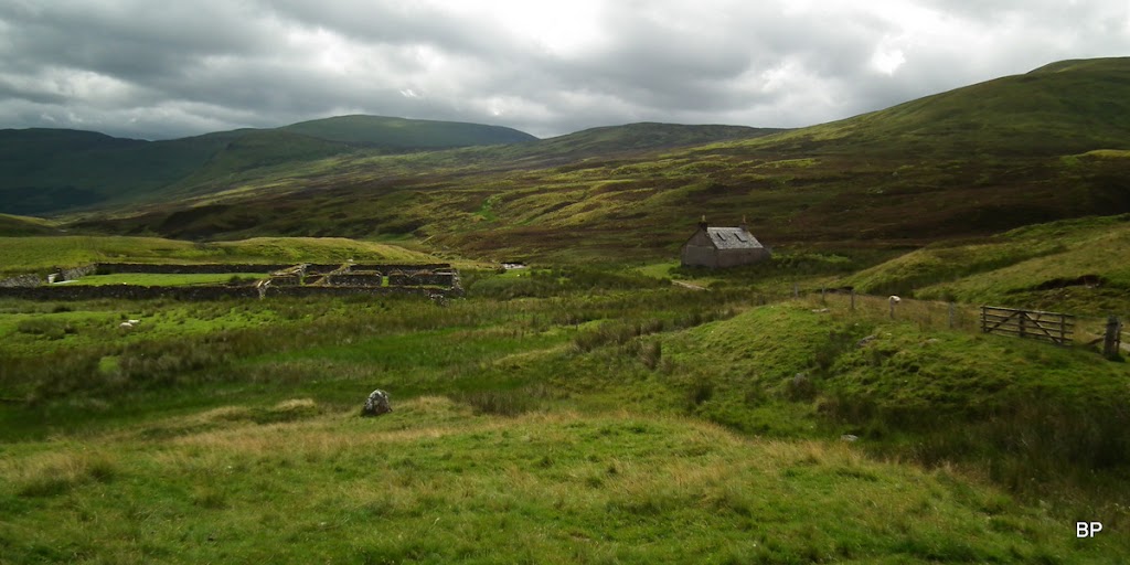
No probs reaching Dunan, where the good track ends by a small building (probably a shooting bothy, as it has new windows fitted in and it's locked). We stopped for a short refreshment break here:
Surprisingly, River Almond was low and it looked crossable at any point:
From Dunan, we walked past sheepfold and we spied a wet vt track/sometimes a path/sometimes just a boggy meadow following the river
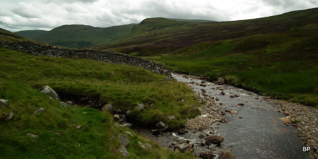
Five minutes later, we passed the remains of an old stone bridge (just pillars left). This is where the old path to Invergeldie used to be. There is even an indicator... But by the looks of it, the path, even though marked on 1-25k map, has long been overgrown and forgotten.
We were more interested in the vague track along the river:
Looking back to Dunan, Shee of Altdarnaig to the right:
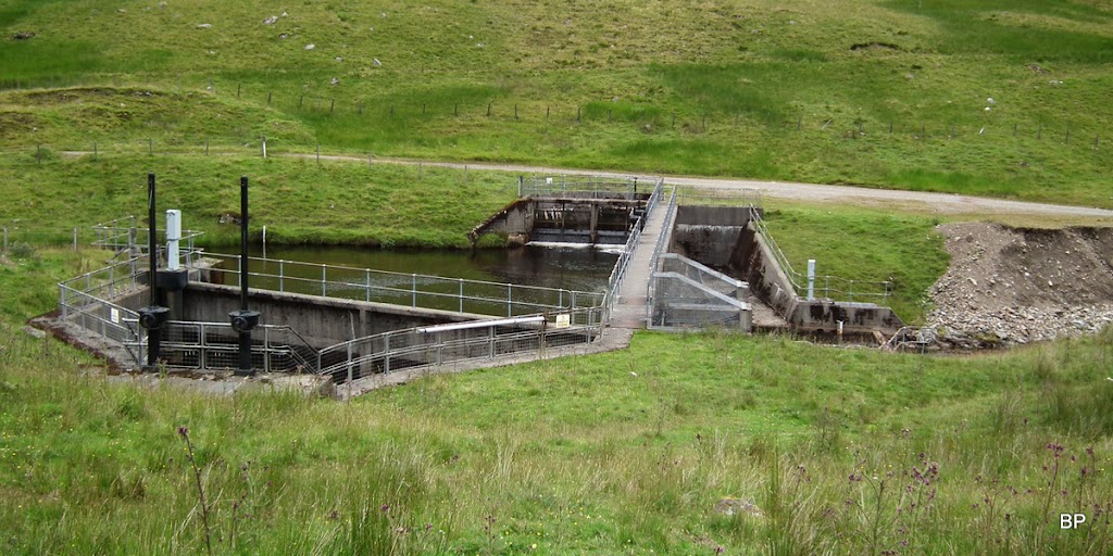
As we kept going, I was becoming more aware of the river growing wider and deeper. We followed it DOWN which meant the further we went, the more difficult it would be to cross. I knew there was a weir next to the Dundornie tracks, but I couldn't be sure if it can be crossed (they are padlocked and fenced off sometimes), so I began to wonder, if it wouldn't be better to ford the river now, before it became too wide...
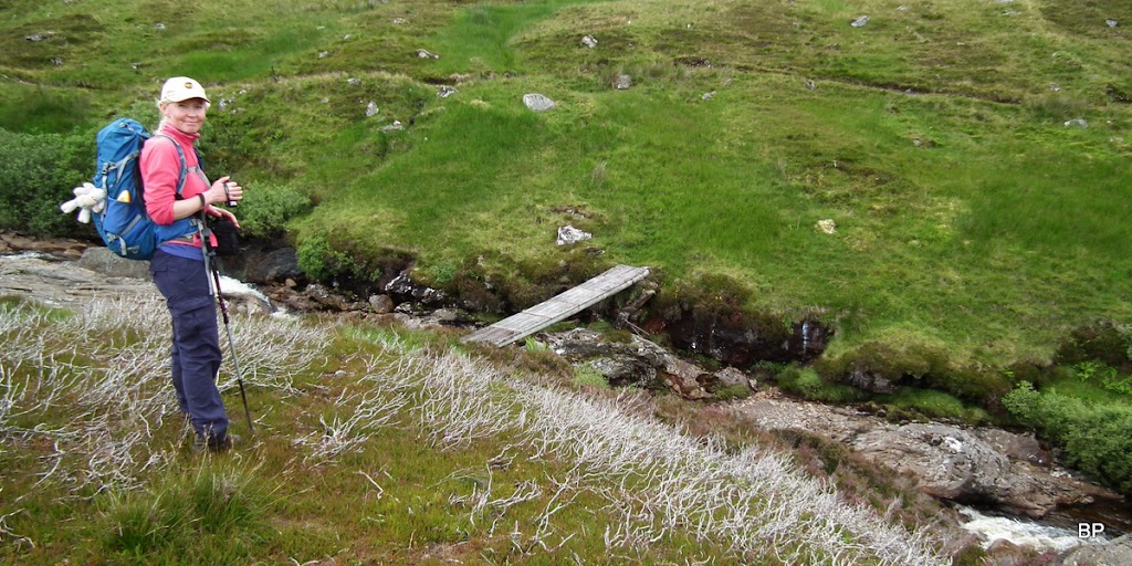
...but around the next corner we came across this nice, wee footbridge:
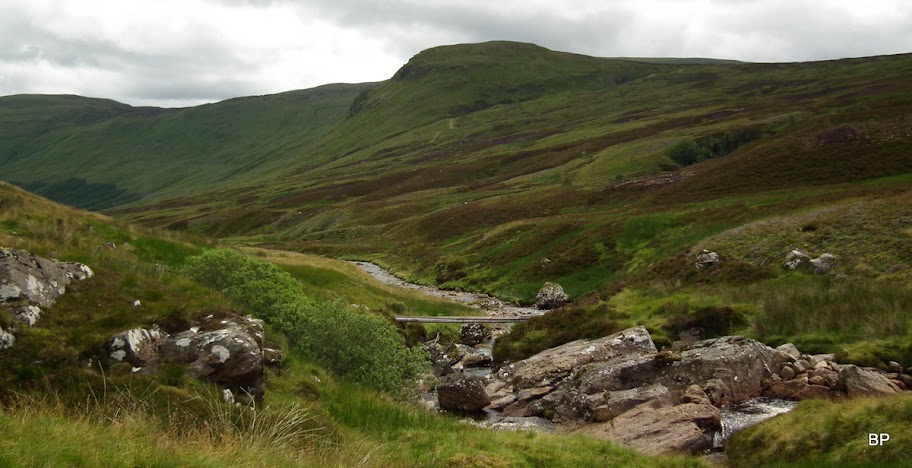
We were about 1km away from the Dundornie track and the south side of River Almond looked wet and pathless, but we decided to use the footbridge, just in case the weir was closed for pedestrians.
Let's hop across

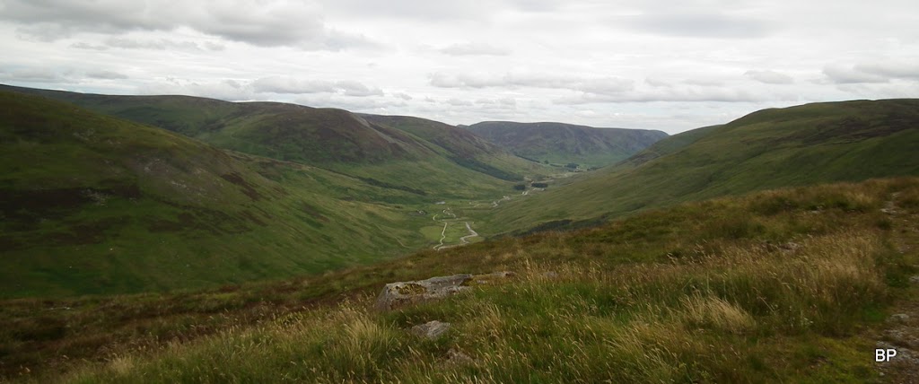
Glen Almond from the southern side of the river, the track we headed for can be seen half way up the bulk of Dundornie:

We continued along the river banks for a short time. There was a path, but one rather muddy and squelchy. Kevin wasn't happy and he aimed higher up the slope, searching for drier underfoot. Eventually, we just cut the corner and aimed for the track at an angle, heading up grass, heather and occasional wet moss. We reached the track about 50m above the weir.
The slopes we climbed:
Looking down to the little dam, we noticed a person walking across it, so we needn't have taken the shortcut, but no damage was done:

We found a large rock nearby and sat down to have lunch - it was already 1pm and our stomachs were crying out for sandwiches
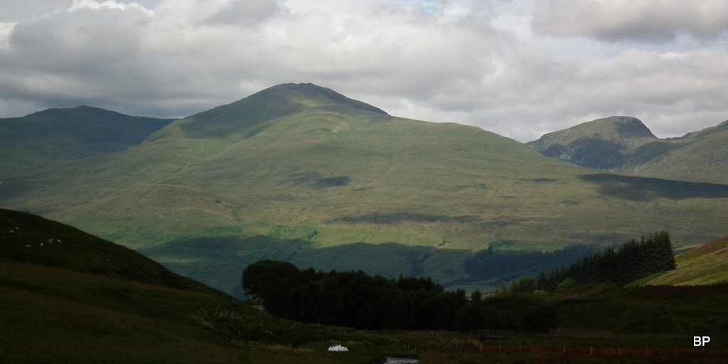
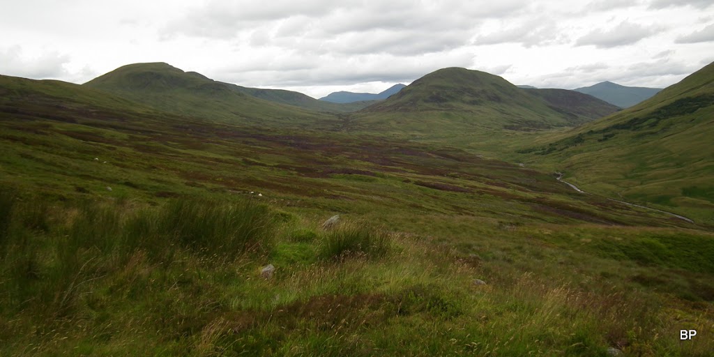
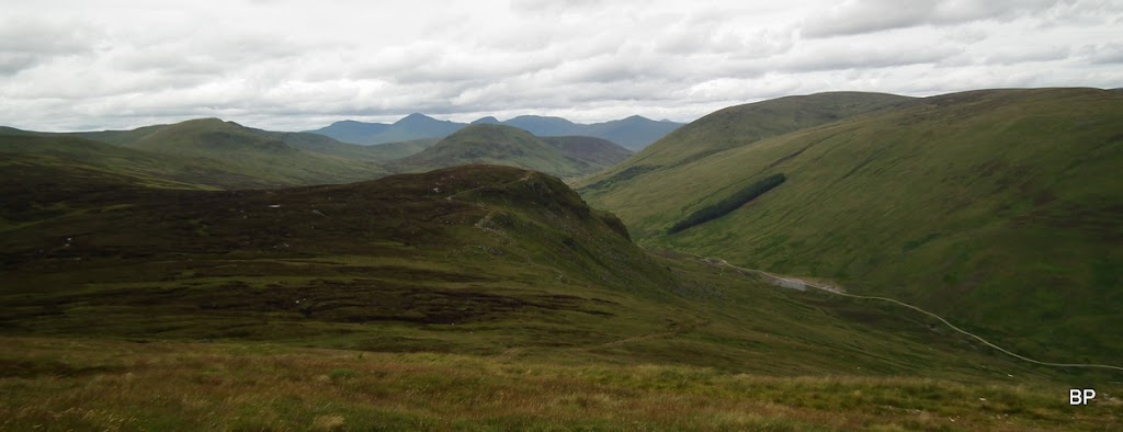
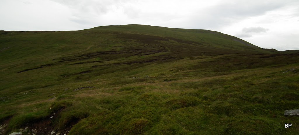
Views began to open up, especially to the north/west, Shee of Altdarnaig and Creagan na Beinne in the foreground:
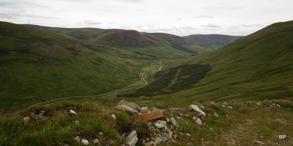
To the east, lower Glen Almond:
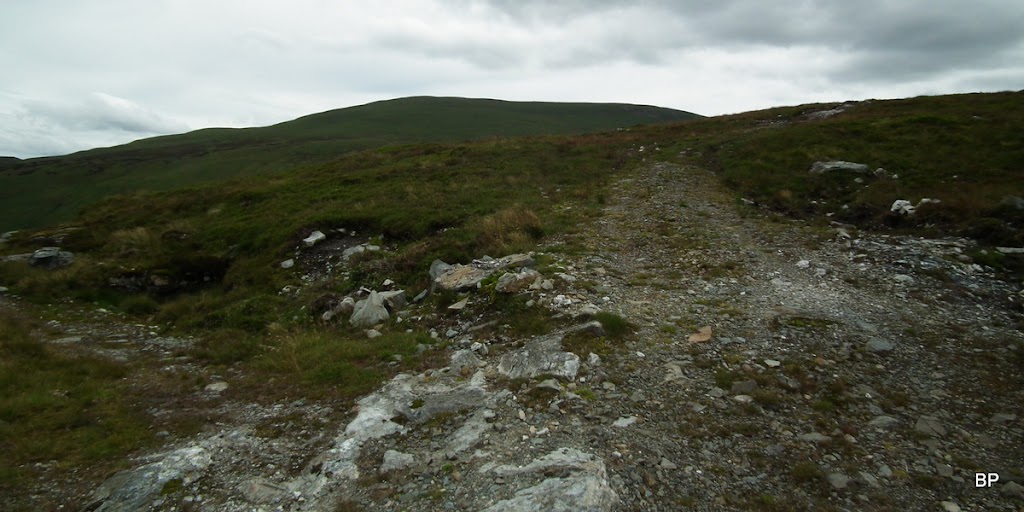
The track feels like a yellow brick road:
We followed the track over Dundornie top and then about 80m down - it's best to stick to the track and lose some height, as the direct approach is full of peat hags. We noticed a walker descending Chonzie, later we passed him as he was having his break on another rock by the track. So the route is not that unknown
We used the well worn track to its very end, then just aimed straight ahead and uphill. Going was easy, the slopes are relatively dry and mostly grassy, though it was a bit of a boring trudge, to be honest.
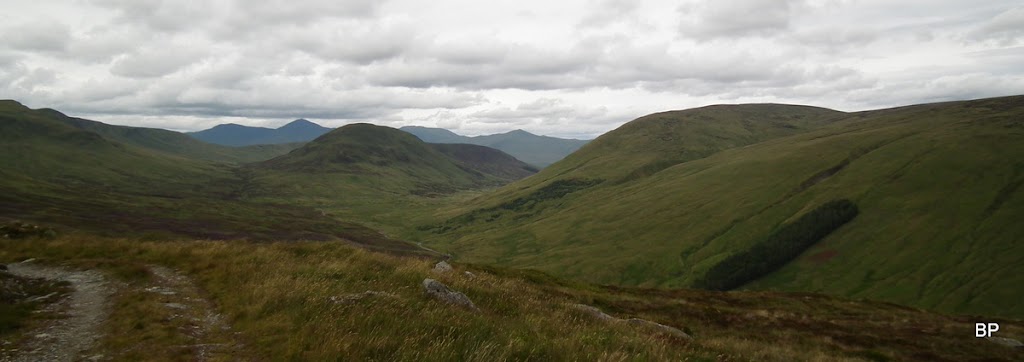
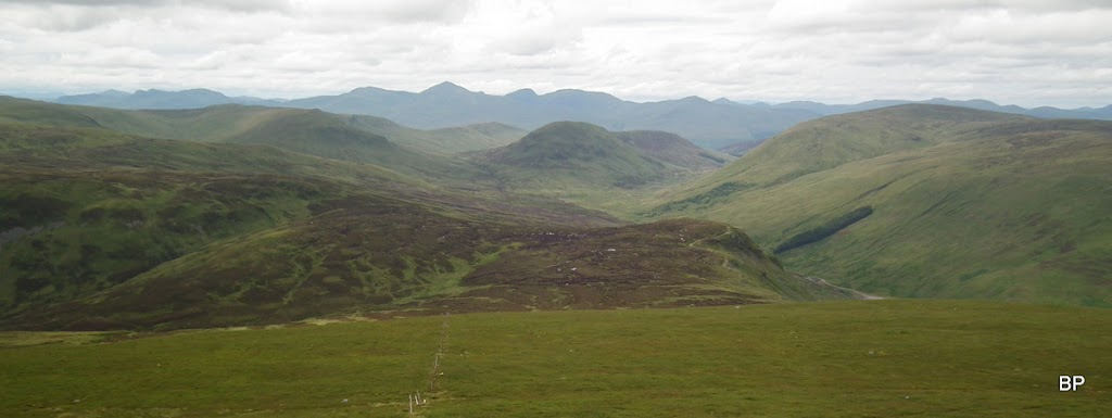
Looking down from the upper slopes of Ben Chonzie, to Dundornie, the track and the above mentioned peat hags:
About 100m below the top of the Munro, we spotted a line of fenceposts. They can be followed all the way to the summit.
Views even better:
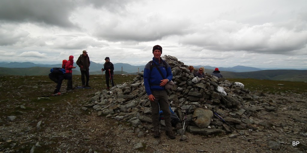
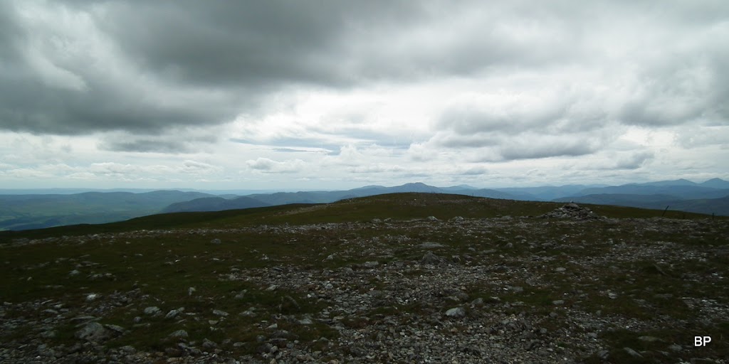
Fifteen minutes later we touched the cairn
The summit was busy as we expected it to be on Saturday afternoon and most people looked surprised to see us pop up suddenly from the northern side
Kevin posing by the cairn - a new Munro for him, too!
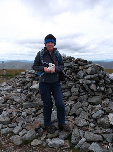
Me and Lucy claiming the top of Ben Chonzie. Munro no. 179 - hooray!
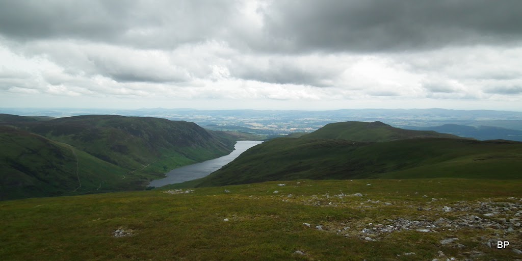
The day was sad and gray now and sadly, photos came out a bit depressing. Dark cloud was lingering above Loch Turret:
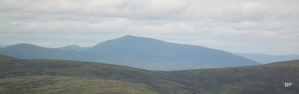
Schiehallion, always visible
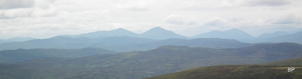
Mountains to the west:
Of course there is always a windfarm in sight (have a good look!):
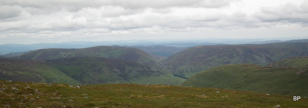
View south:
The summit was windy and rather cold, so we didn't bother taking a break. after 5 minutes for photos and videos, we started to descend back towards Dundornie. It didn't take us long to reach the track and we followed it back to the glen.
We didn't mind the re-ascent. It would be possible to cut corners again and descend below the crags of Dundornie straight to the weir, but the ground looked wet and squelchy, so we stuck to the original route:
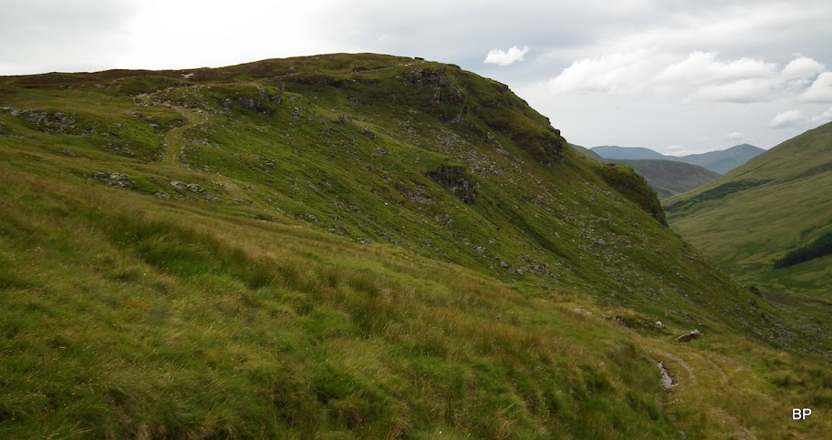
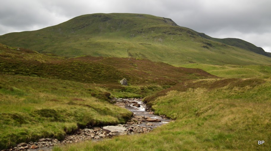
Ben Chonzie from Dundornie, very green and friendly, apart from the peat hags:
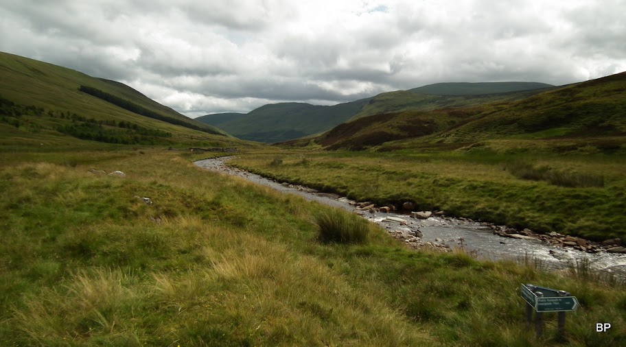
Lovely Glen Almond from above:
We descended to the weir - no restrictions for pedestrians on this one:
The track from the weir back up Glen Almond was rather good to start with:
...but soon it deteriorated to a boggy trudge. We wanted to stop for a snack, but there was nowhere to sit, so we pushed on:
Eventually, we reached Dunan, where we dropped rucksacks by the bothy, stretched our legs and enjoyed our well deserved homemade apple cake, the result of Panther's baking spree
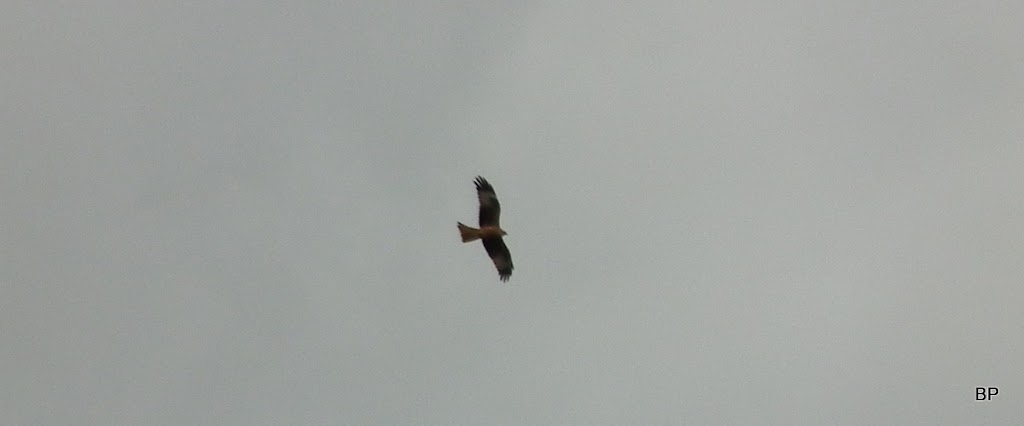
At some point of our return, we noticed this bird - I'm almost sure it's an eagle, it was far too big for a buzzard.
Finally, we walked back to Altdarnaig, the final 20 minutes in rain, but it wasn't too heavy. We watched Lawers ridge disappear before our very eyes, as heavy cloud came in and hugged the tops. We returned to the car after 8.5 hours and 28km walked, may seem a bit long but we didn't push it too fast. Gleann na Chilleine is a nice glen, great for long-walk in. Actually, we enjoyed every part of this route, even the short boggy section.
I can highly recommend this approach to Chonzie for all those looking for a quiet route across some remote country. It's of course much longer than doing it from Lednock or Turret, but well worth the effort. Meow!
We hoped for more adventures in August, but sadly, a few days after our Chonzie jaunt Kevin suffered a painful back injury

He's recovering well but will not be able to undertake anything serious for at least two more weeks. I hope he'll be back in shape to celebrate his birthday on another mountain in late September.
