free to be able to rate and comment on reports (as well as access 1:25000 mapping).
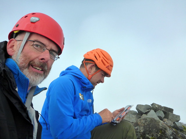
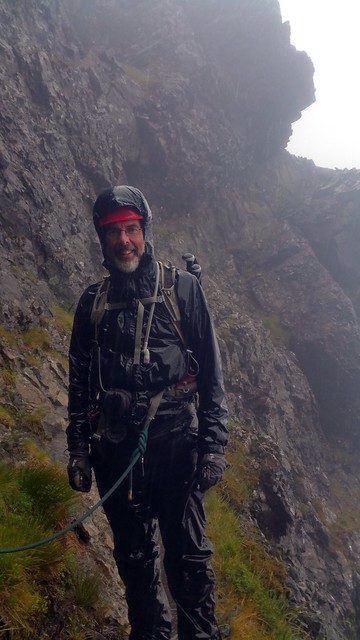
I'd taken a week off work to further my Tops progress. I had 5 Tops left on Skye - Sgurr Thearlaidh, Thormaid, Banachdich Central and Greadaidh South plus Bla Bheinn's SW Top to do. Having consulted with knowledgable persons on WH I had decided I was far too much of a jessie to try the Tops on the main ridge myself, so had re-enlisted the help of guide Bill Strachan (Scotch on the Rocks Guiding) who'd more than assisted myself and sick kid when we did the harder Cuillin Munros last year. We arranged to meet at the Glen Brittle Hut at 8am on Friday for the first of two days of Skye excitement.
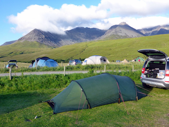
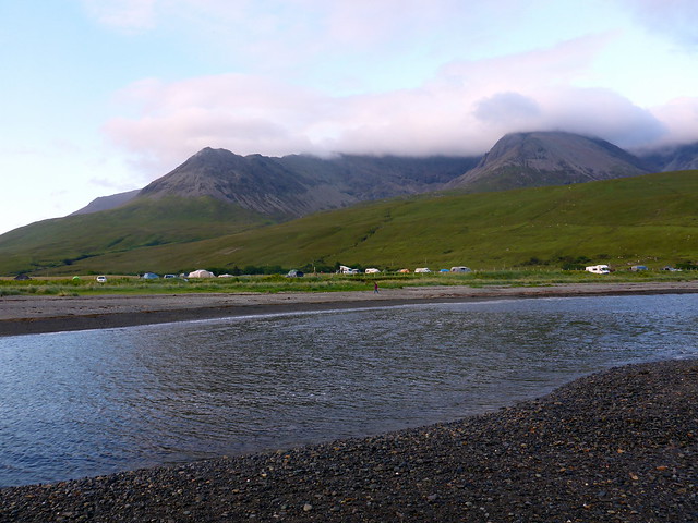
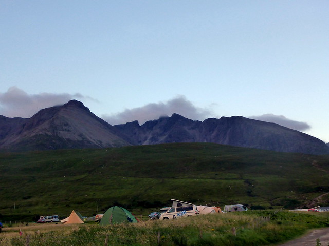
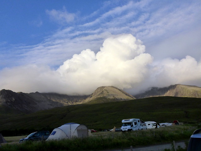
I drove up after work on Thursday, with the weather steadily improving as I went Northwest. Stopped off for a chippie in Kyle then crossed over to Skye. The sun was shining! Views down the Trotternish hills were fabulous, the sea still as silver. Oh, if only it would stay like this for the morrow. Headed round to Glen Brittle campsite, took my usual spot by the sea and pitched, enjoying some late evening sunshine with enough breeze to banish the midges. The Cuillin had fluffy blankets on their tops and looked, for a change, almost benevolent.
 P1090403
 by
Al, on Flickr
 P1090405
 by
Al, on Flickr
 P1090406
 by
Al, on Flickr
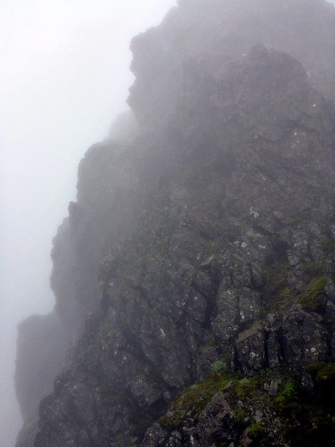
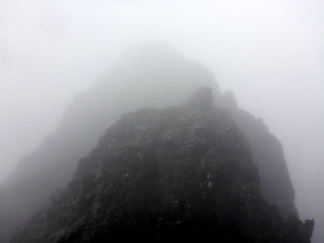
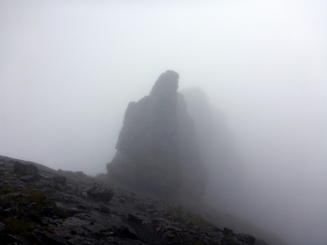
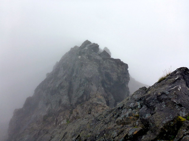
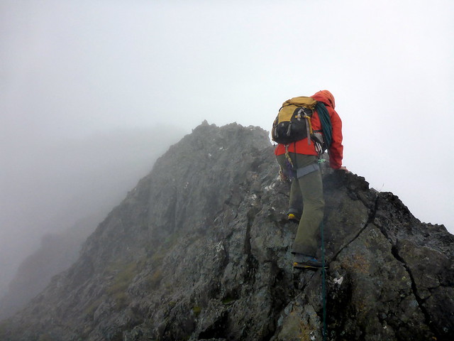
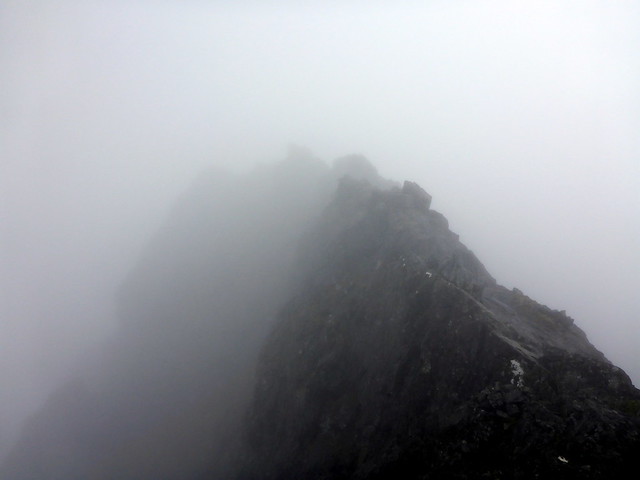
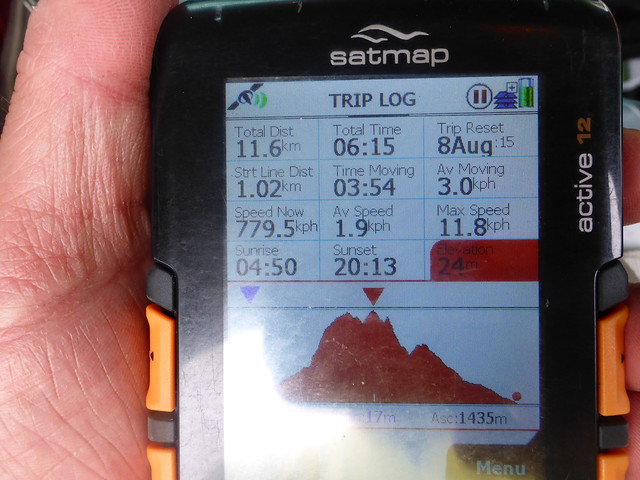
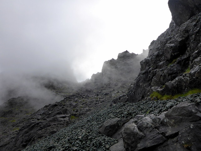
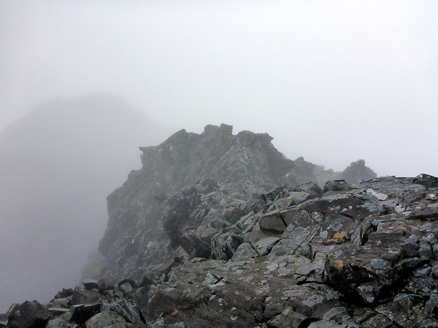
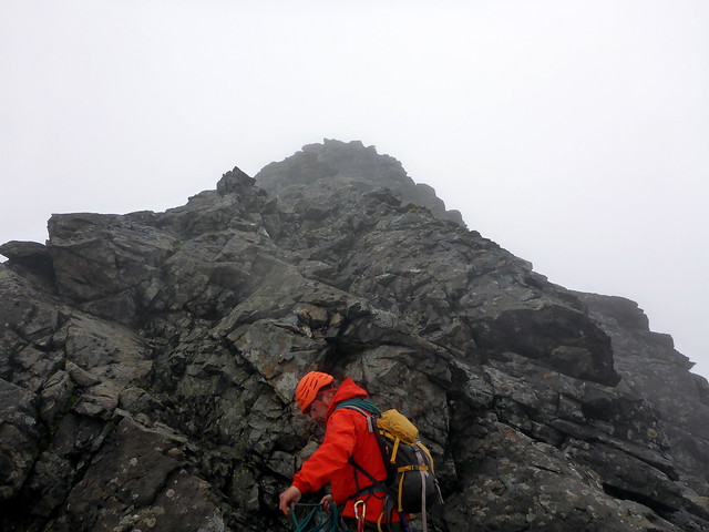
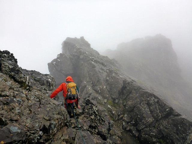
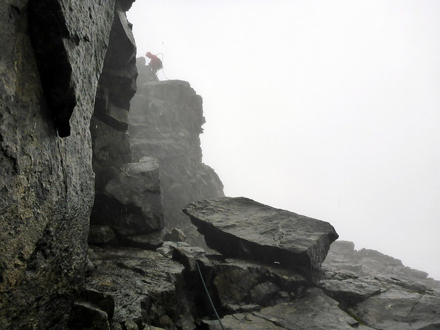
Friday morning and I marched along to the Hut to meet Bill. Weather was dry, although the hills were draped in clag from about 500m. Bill had decided we'd go up into Coire Banachdich, do its Top, then head to Thormaid, past the Teeth and onto Greadaidh then skip across to Mhadaidh if there was time via An Dorus. Sounded a good plan! Unlike last time we'd met, I had no nerves about going up, comfortable that Bill would have me safe. We headed up towards Window Buttress and turned north under the crest of the ridge below Sgurr Dearg, picking out a faint path that took us to the crest in about 2 hours. Clag was down but the rock reasonably dry and it was highly enjoyable picking my way across the narrow sections, roped where necessary. Made the first objective, then a wee bit of a scramble up to the main summit of Banachdich. Cut round and down under a buttress then up to Thormaid. Back onto the ridge crest, where if I remember the sequence correctly, we passed the Teeth then came to a narrow section of the ridge on Greadaidh that required hands on the ridge crest whilst moving obliquely below. Much fun! All too soon we'd reached the summit of Greadaidh, romped past the wart and down towards Eag Dubh where we met Paddy Mcguire with a couple of clients, then down to An Dorus. I was pleased to feel much more confident when moving on the rope than I had last time around. Nipped up Mhadaidh since we were so close by then had a scree run down Coire Ghreadaidh and were back at the Hut in six and a half hours. Typically, the sun emerged as we walked the last few hundred yards. I felt fit and still buzzing - did think of going off to do Bla Bheinn then realised it would take an hour just to drive there, so maybe I should not! Returned to the tent, felt all my energy drain away and ended up going for a snmooze in the afternoon

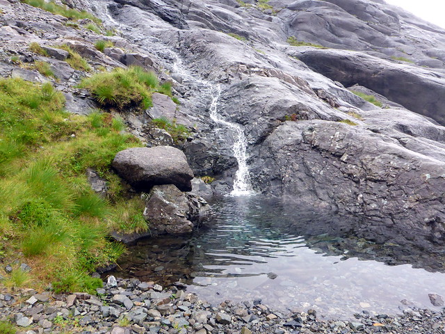
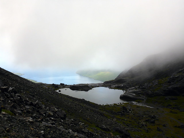
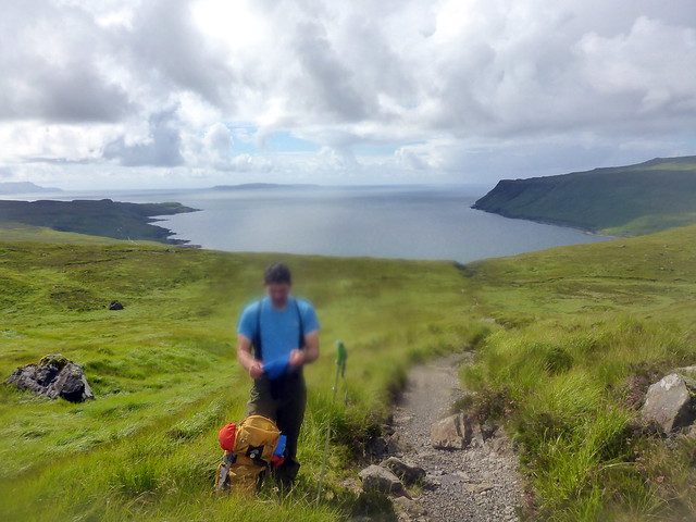
The wee triangular pool marks the start of the ascent to Bealach Coire a'Bhanachdich
 P1090408
 by
Al, on Flickr
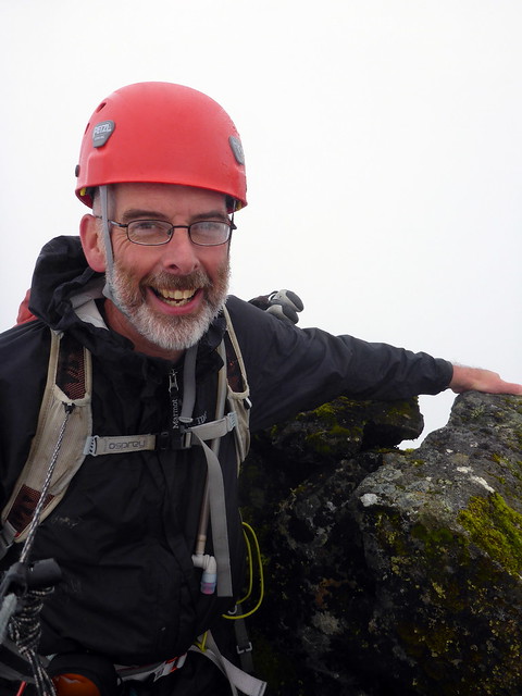
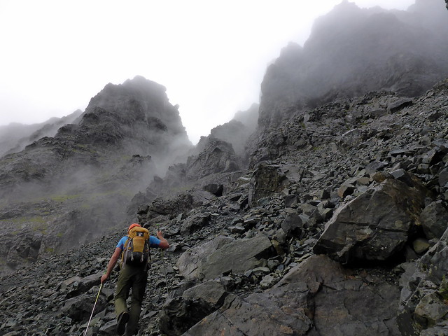
Bill on the crest
 P1090410
 by
Al, on Flickr
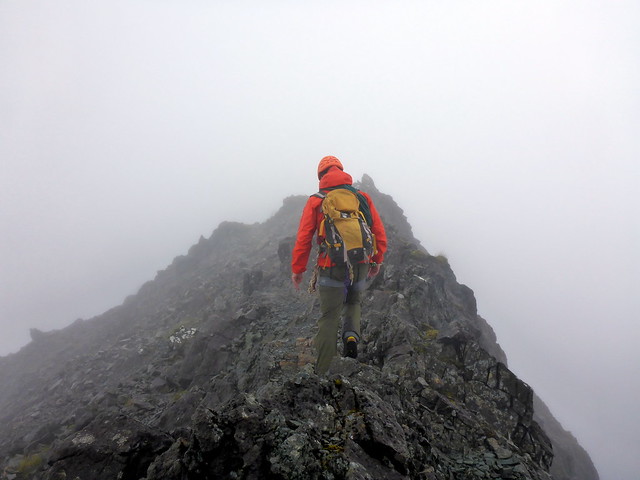
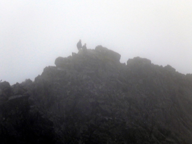
Approaching Banachdich Central Top
 P1090411
 by
Al, on Flickr
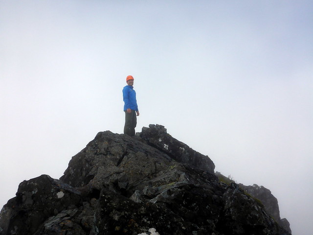
One down!
 P1090412
 by
Al, on Flickr
 P1090414
 by
Al, on Flickr
On to Thormaid
 P1090418
 by
Al, on Flickr
 P1090419
 by
Al, on Flickr
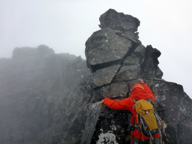
The Teeth
 P1090422
 by
Al, on Flickr
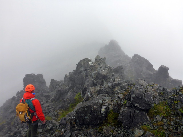
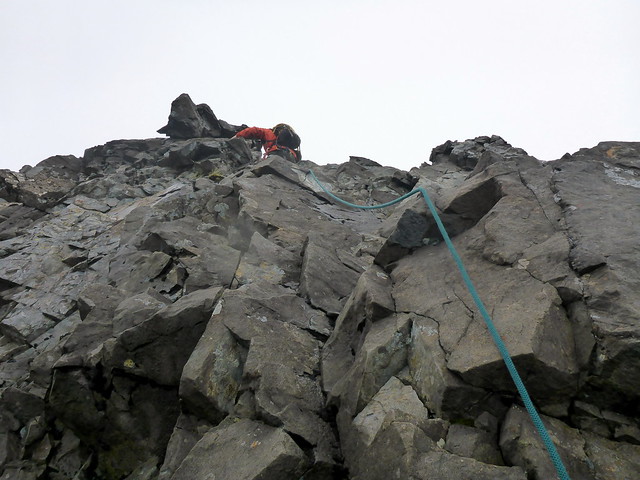
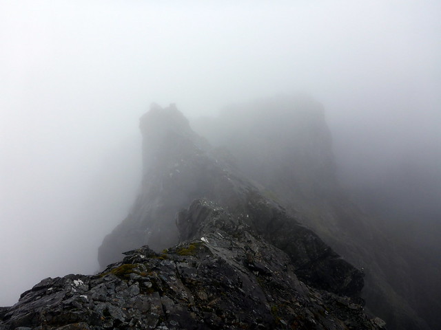
On to Greadaidh
 P1090424
 by
Al, on Flickr
 P1090425
 by
Al, on Flickr
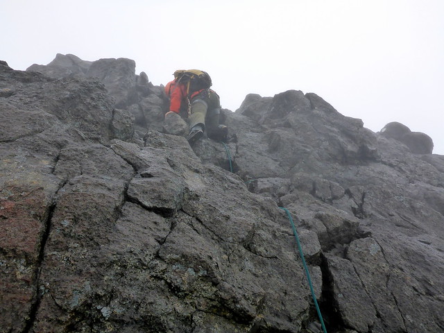
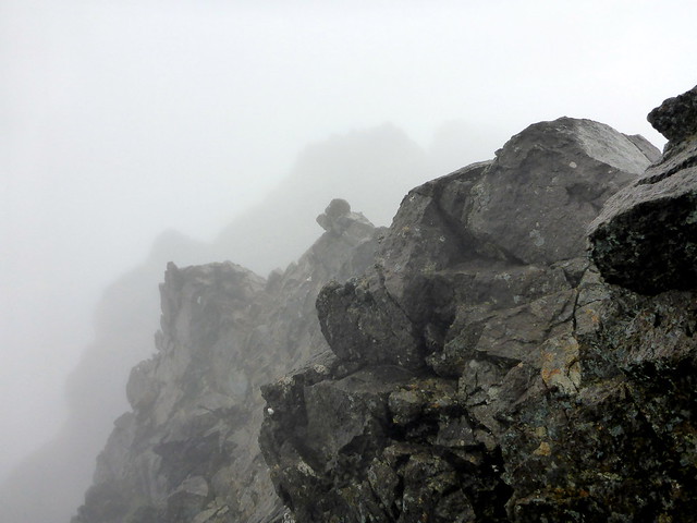
Nice narrow bit
 P1090428
 by
Al, on Flickr
 P1090432
 by
Al, on Flickr
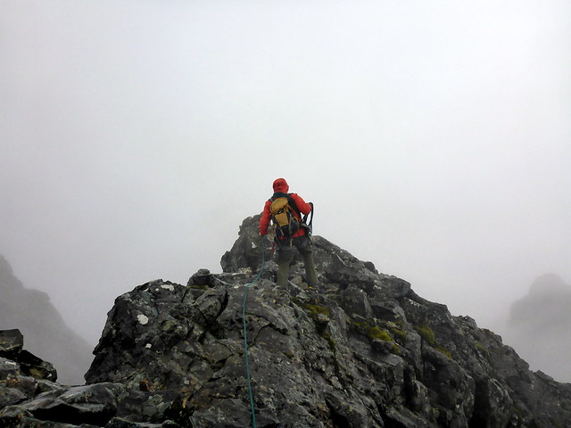
Greadaidh South Top
 P1090431
 by
Al, on Flickr
Sunny on the way down

 P1090440
 by
Al, on Flickr
 P1090443
 by
Al, on Flickr
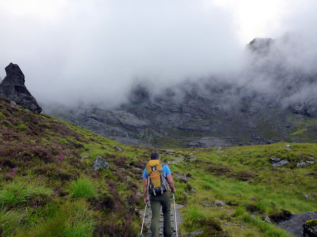
Bill was leaving plans for Saturday a bit vague. Thearlaich was the only Top remaining to be done, and the one I was looking forward to least, given what I'd read about slippy slabs of basalt. The forecast suggested a fair day, with cloud lifting and mostly dry - of course it turned out nothing like that
We set off from the campsite and walked up into Ciore Lagan, making good time to the base of the Great Stone Chute. Met a dad and his lad of maybe 10, looking to "go up something" and Alasdair was suggested as the most straightforward option from here. Set off up the Chute, keeping to the right side under the cliffs. Last time I'd been up here if was after having descended the An Stac screes, so it was much easier this time round having fresh legs, as it were. By the time we reached the bealach between Alasdair and Thearlaidh the rain had started - great! Nipped up Alasdair first - just one wobbly bit at the beginning of the ascent where the rock was slippy and the fall was considerable. Then back down to the bealach and time to get roped up.
Still dry at this point...
 P1090445
 by
Al, on Flickr
 P1090447
 by
Al, on Flickr
Going up the Stone Chute
 P1090450
 by
Al, on Flickr
 P1090452
 by
Al, on Flickr
 P1090453
 by
Al, on Flickr
Top of Alasdair
 P1090455
 by
Al, on Flickr
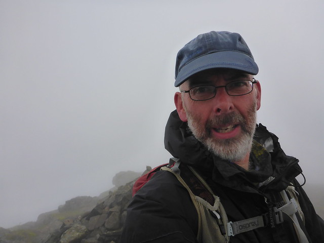
Me looking a bit apprehensive about the next bit
 P1090456
 by
Al, on Flickr
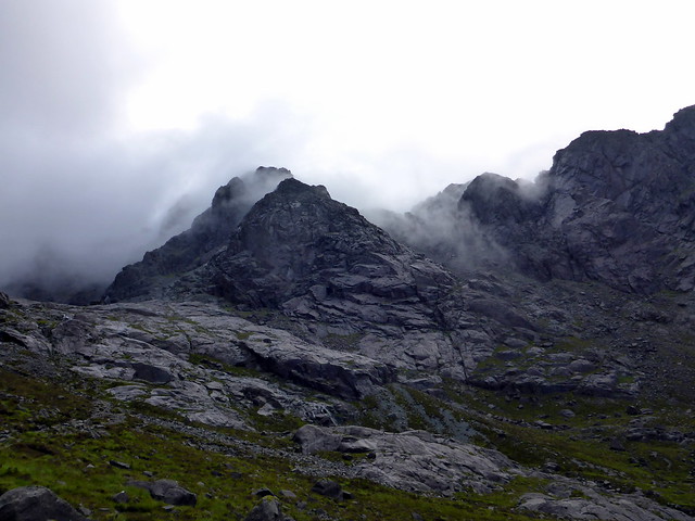
Thearlaich summit across from Alasdair
 P1090457
 by
Al, on Flickr
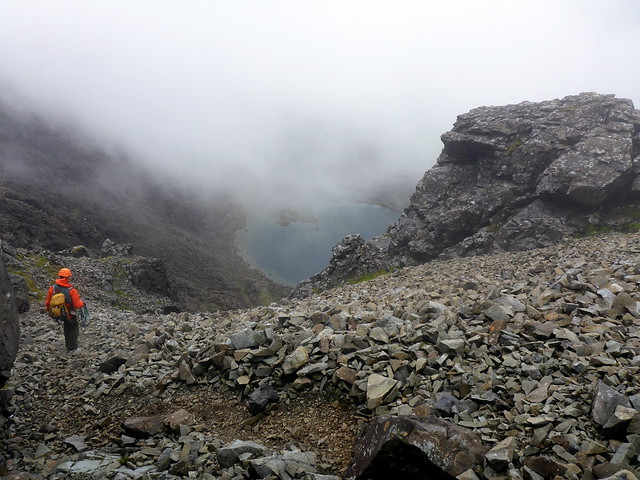
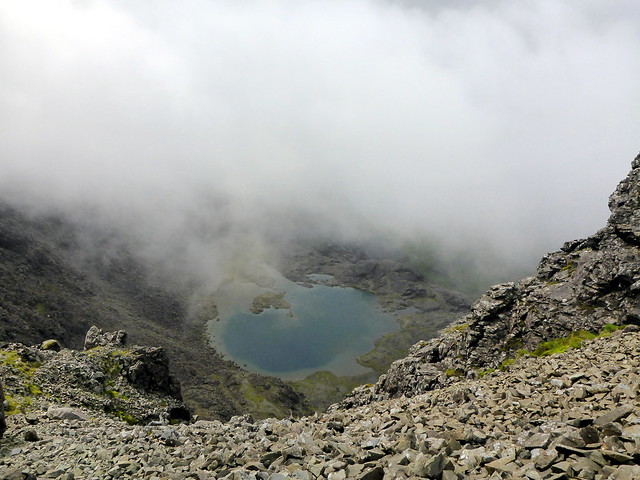
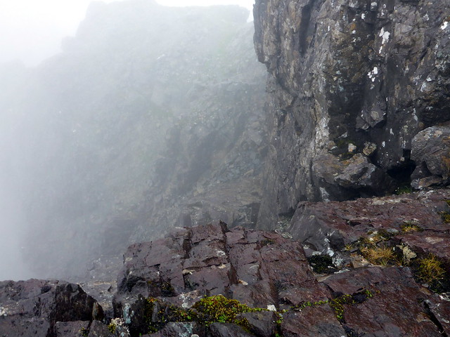
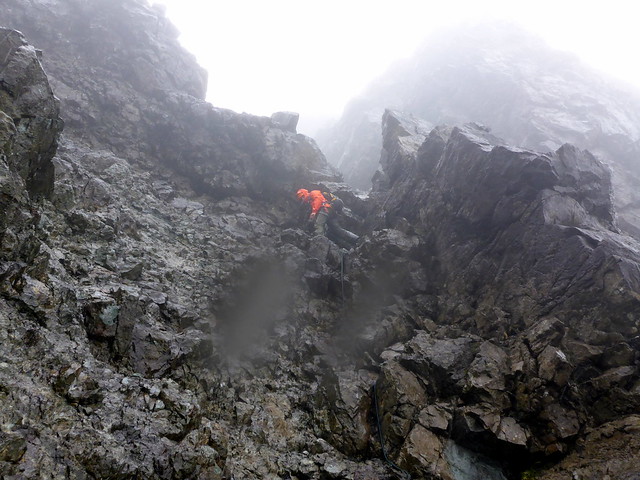
We dropped down to the SE of the bealach and looked a long way down to Loch Coire a'Ghrunndha. Bill set off up Thearlaich, belayed the I followed. This was harder than yesterday, good holds but so slippy and treacherous. About half way to the summit the rain started pelting down. I knew this would make the rock like glass and did feel a bit apprehensive. We got to the summit, looked across at Alasdair, pleased to see that the dad and his lad had made it.
Dropping down towards Coire a'Ghrunnda
 P1090458
 by
Al, on Flickr
 P1090459
 by
Al, on Flickr
 P1090461
 by
Al, on Flickr
 P1090463
 by
Al, on Flickr
Nearing summit Thearlaich
 P1090465
 by
Al, on Flickr
made it!
 P1090467
 by
Al, on Flickr
The dad and his lad on Alasdair
 P1090469
 by
Al, on Flickr
Now it was decision time. I had ticked my Top, and the weather was horrendous - should we just go down? Hell no - up for some adventure. So how's about going on towards Mhic Coinnich via Collie's/Hart's ledge? But if we did so it would need care. Oh, yes please

So we headed north off Thearlaich along a narrow and unpleasant slab, putting boot edges in a linear crack and knowing that the consequences of a slip would be unfortunate. Some sharp scrambles down to Collie's ledge, which wasn't as difficult as I was fearing ("after all, some guy rode his bike along it" quoth Bill

) although the rain streaming down over everything didn't add to the experience. Bill suggested there was an awkward bit coming up before we got to Mhic Coinnich, just after we passed by King's Chimney, but it wasn't too bad, a slabby descent round an outcrop then down to the right. From there it was straightforward onto the summit of Mhic Choinnich, much of which I remembered from last time. Then down to the An Stac screes, a fast descent and Bill graciously allowed me to stop and have a bite of lunch at the lochan, where there were droves of tourists come to see "the lochan" and being underwhelmed by the view of it in dense clag.
Coming off summit Thearlaich
 P1090470
 by
Al, on Flickr
 P1090471
 by
Al, on Flickr
I think this is looking towards Collie's ledge
 P1090473
 by
Al, on Flickr
onwards to Mhic Choinnich
 P1090475
 by
Al, on Flickr
wee awkward bit
 P1090476
 by
Al, on Flickr
 20150815_114215
 by
Al, on Flickr
Up to Mhic Choinnich
 P1090477
 by
Al, on Flickr
Sun comes out again...
 P1090481
 by
Al, on Flickr
 P1090482
 by
Al, on Flickr
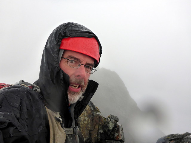
Back down to the campsite and again the weather clears as we are on our way out from the hills. A cracking day's adventure and many thanks to Bill for making it possible and enjoyable. We parted company, he back to his family, me off to the Slig for a bit of proper nosh. Another pleasant evening where I was able to sit and read my book outside ("Scrambles in the Alps 1860-69" by Edward Whymper) then a rainy night followed. I was up early to get packed and head off to Bla Bheinn. I had looked at doing the SW Top when I climbed Bla Bheinn last time but was put off by the scrambly nature of it (being unused to such things a couple years back) and also being majorly hungover (it was at the infamous WH Skye meet
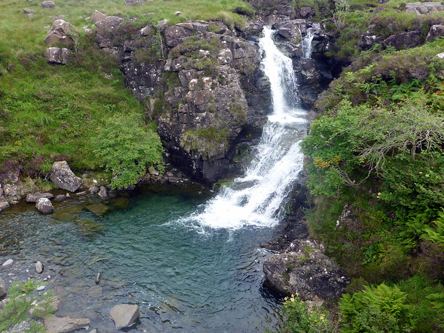
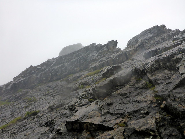
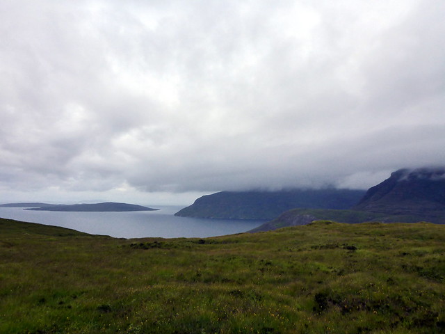
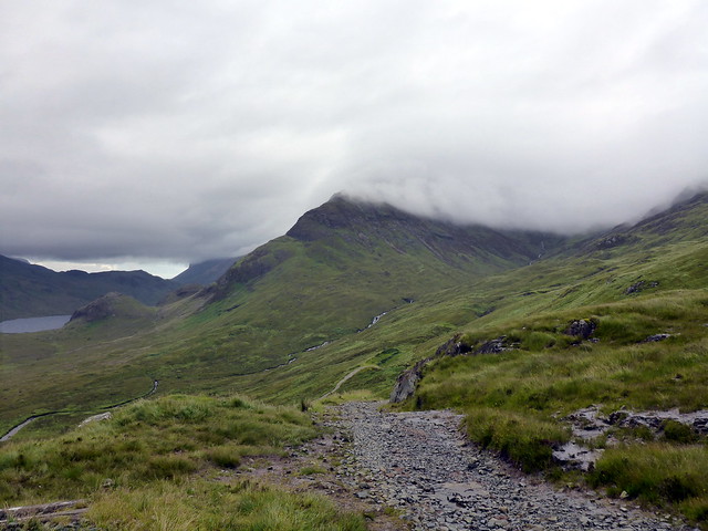
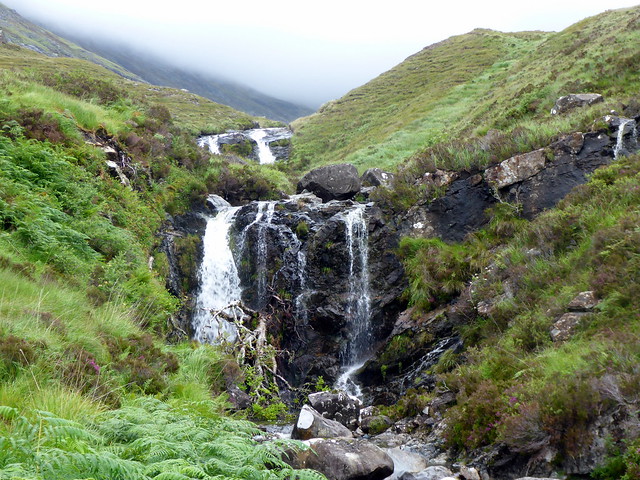
). I had decided that I'd ascend by the SW shoulder from Kirkibost, which meant I'd go directly up the SW Top first, and could consider whether to add the Munro Summit when I got there. It took ages to drive round towards Elgol, even at 7am, but finally got to the parking place and geared up. The clag was down to below 400m and the rain had started long before I got in sight of Camusunary. A red-spotted rock marks the start of a boggy track off to the right, down towards a waterfall. Bla Bheinn loomed out of the clag ahead of me. I lost the path after crossing the river and headed up steep grass slopes on the south of the mountain, aiming for an obvious cleft in the ridge. I was surprised to come across a first class track as I gained height, and followed this thereafter.
Start of the walk
 P1090485
 by
Al, on Flickr
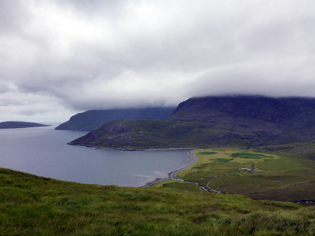
Camasunary bay
 P1090487
 by
Al, on Flickr
 P1090488
 by
Al, on Flickr
 P1090489
 by
Al, on Flickr
The shoulder of Bla Bheinn poking out the mist
 P1090490
 by
Al, on Flickr
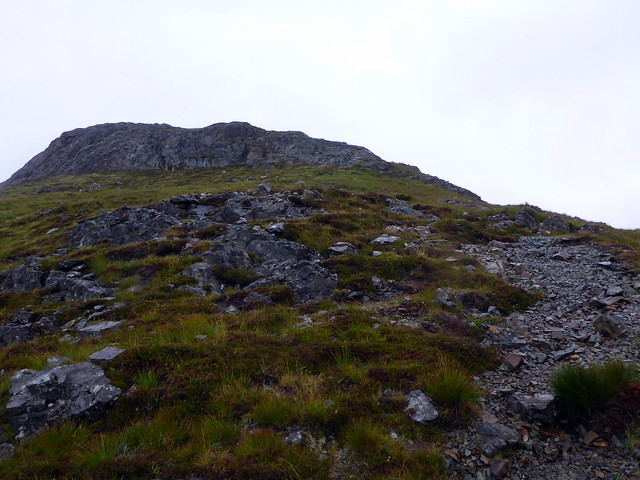
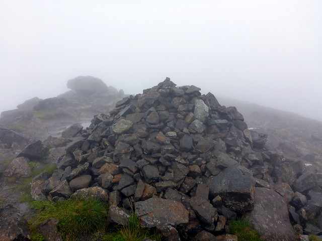
Visibility was poor, less than 10m. Climbing the mountain this way revealed a much greener, vegetated hill than coming up by the usual route, but terrain became rockier as I gained height and great chasms would appear every so often out of the mist - not somewhere you'd want to get lost in the fog. Several boulderfields to cross then the summit was reached. Rain is heaving it down by this point and I'm rather miserable. I can see no sign of the main summit and decide that in these conditions, and on my own, it would be foolish to try and pick out a route. Going down is far trickier than ascending, as there are a multitude of paths through the scree, and it is really easy to get put off-route, with gullies opening up in the clag barring progress. A bit of re-ascent is needed til I find my original line then it's a wet plod back down. The rain stops as I get to about 500m and I stop for some lunch on the lower shoulder of the hill, looking out over Camusunary bay. The path back to the car is mobbed with an assortment of through-hikers (look Spanish, miserable, including one dude that's walking in bare feet with a giant rucksack, whilst his girlfriend totes a vanity-sized pack) folk going to the "beach" at Camusunary and a group of Sikh walkers playing music out of a boom-box. Once again it's sunny as I'm on my way back to the start and I'm starting to think that Skye doesn't want me on its hills
 P1090491
 by
Al, on Flickr
Summit
 P1090492
 by
Al, on Flickr
 P1090493
 by
Al, on Flickr
 P1090494
 by
Al, on Flickr
 P1090496
 by
Al, on Flickr
 P1090500
 by
Al, on Flickr
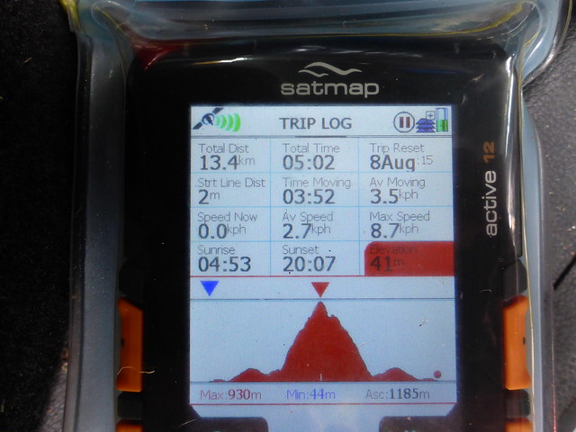
I had planned to drive to Shiel Bridge, camp there and head up The Saddle for the two Southern Tops the following day. I drive to Broadford to top up on fuel and food, check the weather forecast and see with a mix of delight and disbelief, that the next 2 days are to be sunny. oh, Mullardochs, here we come!
