free to be able to rate and comment on reports (as well as access 1:25000 mapping).
Following on from my report Lochaber Sunny Subs part 1 here's the next instalment, still using my ancient phone as a camera so not great quality photos.
I'm not sure how many people go up Doire Ban, especially as a single hill, the obvious way to do it would be to descend over it from the Graham of Tom Meadhoin which would make a lovely round, however i'd been up the graham so I just wanted to complete Doire Ban. it is a nice looking hill and an excellant viewpoint.
A slow drive down the very narrow, winding road through Blarmacfoldach to Loch Lundavra. There is parking for probably 5 cars on the left after the West Highland Way and before the bridge.
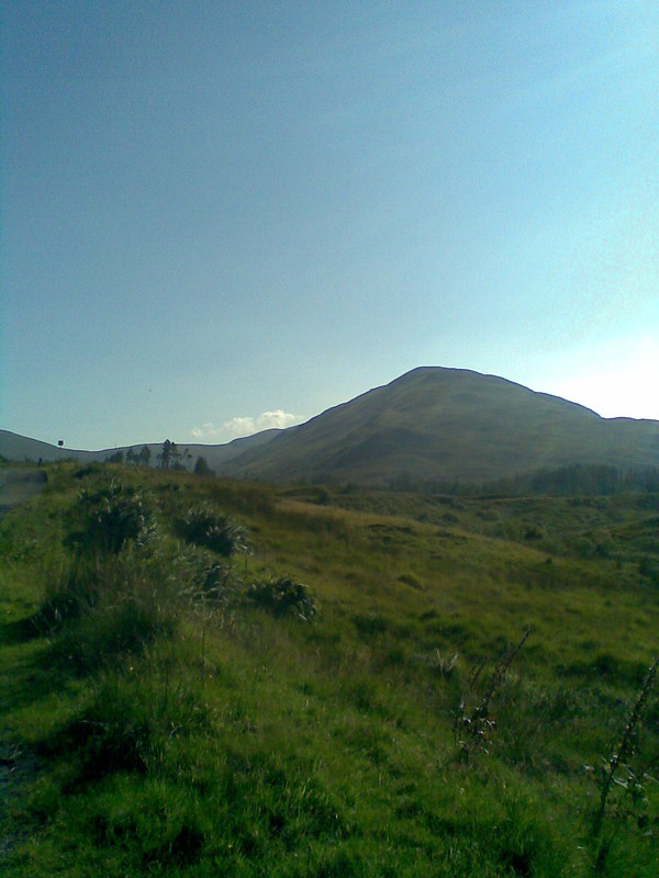 Image456
 by
julie.spittle, on Flickr
Doire Ban.
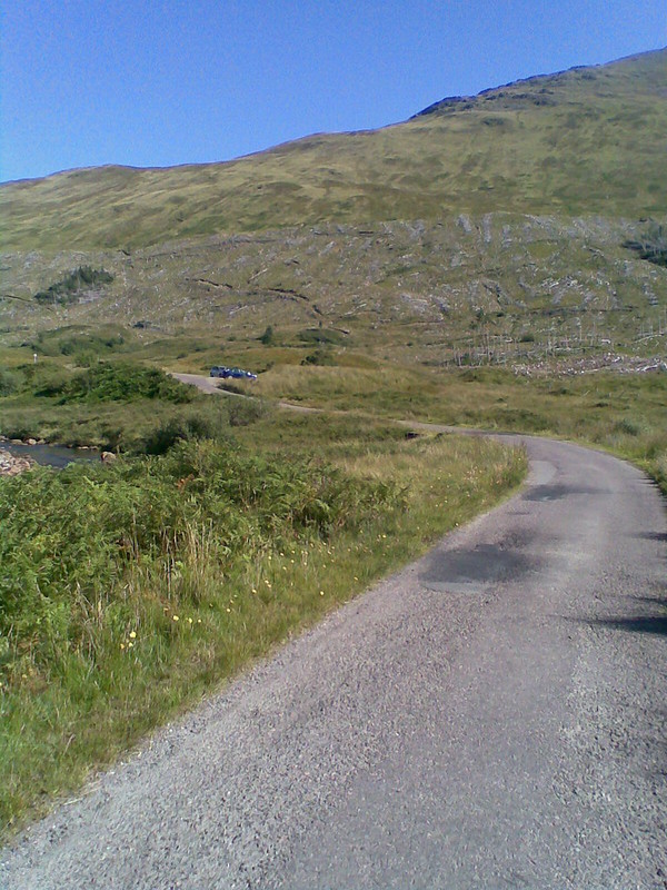 Image436
 by
julie.spittle, on Flickr
The car parking area
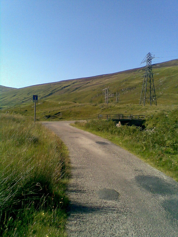 Image435
 by
julie.spittle, on Flickr
The bridge
I headed along the road and turned left before the bridge to ford the river, easy enough today but difficult in spate, I found a much easier ford on my return
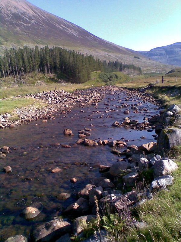 Image454
 by
julie.spittle, on Flickr
From here I just walked up the hill, If you like wet pathless grass, this is the hill for you, but to be honest It went fairly easily with stunning views all the way round.
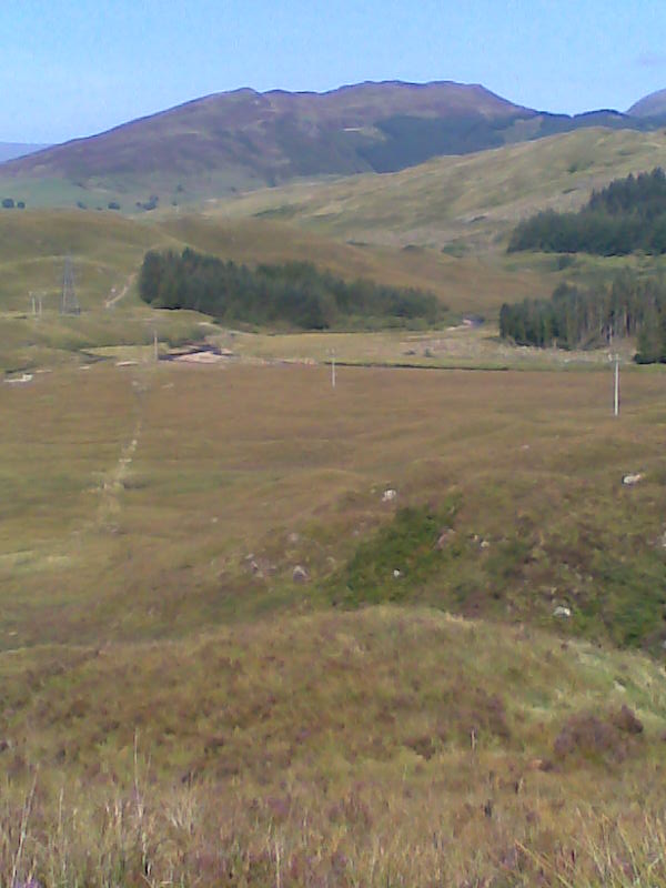 Image437
 by
julie.spittle, on Flickr
the way up looking back to Bidein Bad na h-lolaire
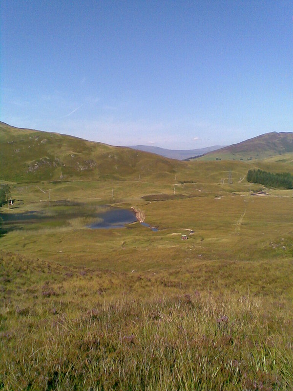 Image438
 by
julie.spittle, on Flickr
An hour later I was on the summit
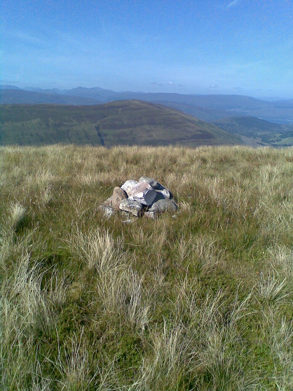 Image439
 by
julie.spittle, on Flickr
Summit cairn, all 5 stones of it!
Sat for ages , cool breeze, no midgies and 360 degree views
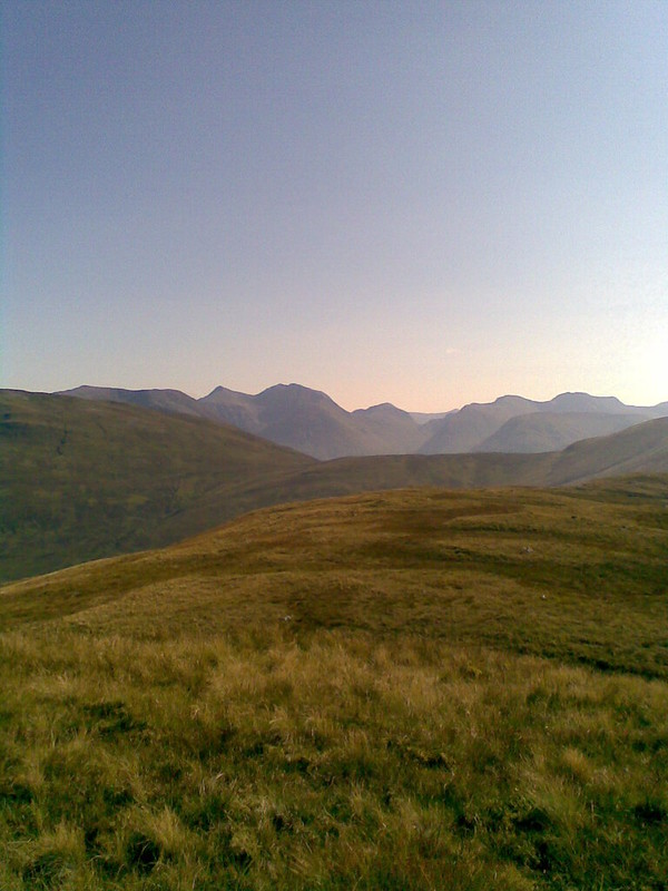 Image440
 by
julie.spittle, on Flickr
Bidean
 Image441
 by
julie.spittle, on Flickr
a wee peek of Stob ban
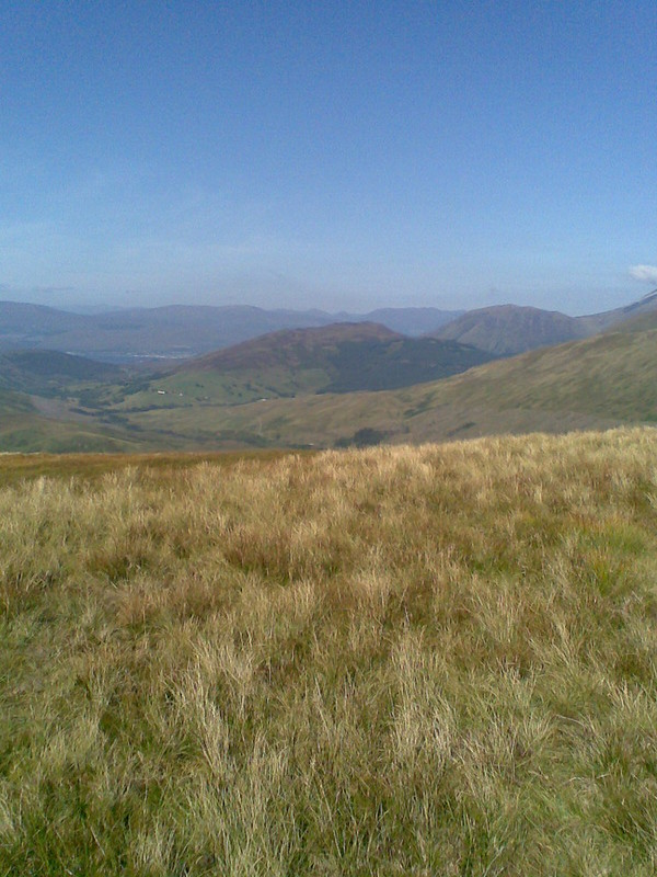 Image443
 by
julie.spittle, on Flickr
back up to Bidein Bad na h-lolaire and towards Fort William
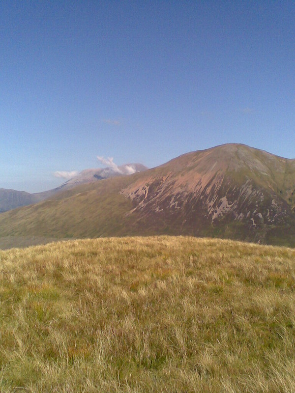 Image444
 by
julie.spittle, on Flickr
Mullach nan Coirean looking very red and The ben making his own wee clouds
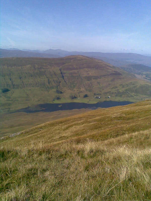 Image447
 by
julie.spittle, on Flickr
Loch Lundavra and the Glennfinnan hills
I came back down the hill much the same way but near the base I headed for the wee shed on the shore of the loch and picked up a very wet landie track
 Image449
 by
julie.spittle, on Flickr
 Image451
 by
julie.spittle, on Flickr
The wet track and back up to Doire Ban
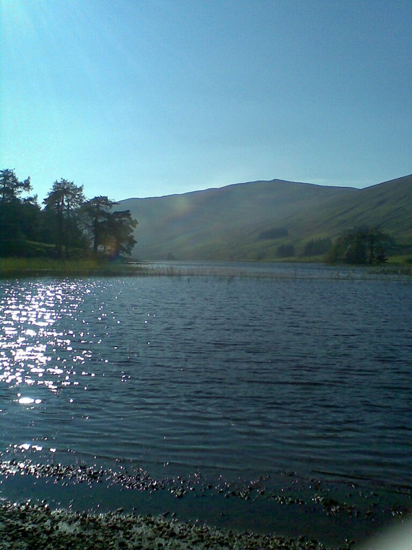 Image452
 by
julie.spittle, on Flickr
Loch Lundavra and the graham of Beinn na Gucaig
I followed this track along and found a much shallower easier ford back to the road and then i crossed the bridge back to the car
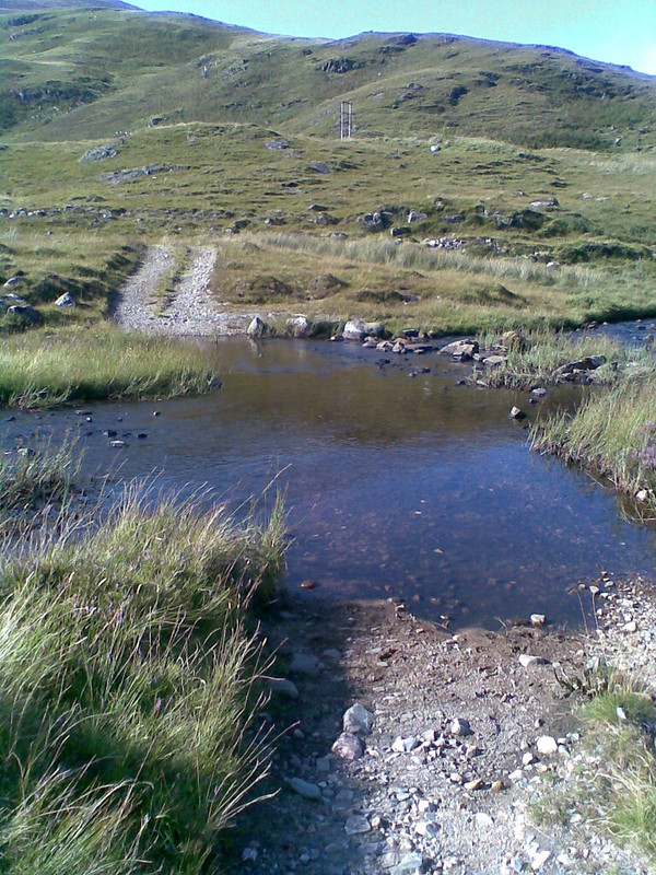 Image455
 by
julie.spittle, on Flickr
So 3.66 miles, 2 hrs and 1322ft ascent in total
.
I drove back along the road to just past the WHW and parked and went down to the swimming pool in the river here, I was on my own so I didn't swim but I put my poor scratched to bits legs in the cool (cold) water for 20 mins and sat in the sunshine, tired but happy then went home for tea. A good day out!
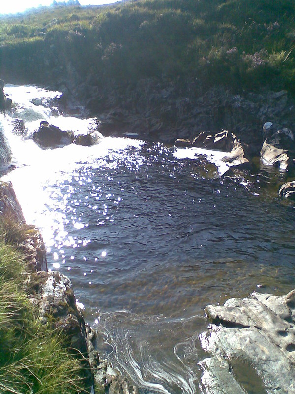 Image457
 by
julie.spittle, on Flickr
The pool.
