free to be able to rate and comment on reports (as well as access 1:25000 mapping).
WH OS only covers UK, but you will be able to import the route into google earth 
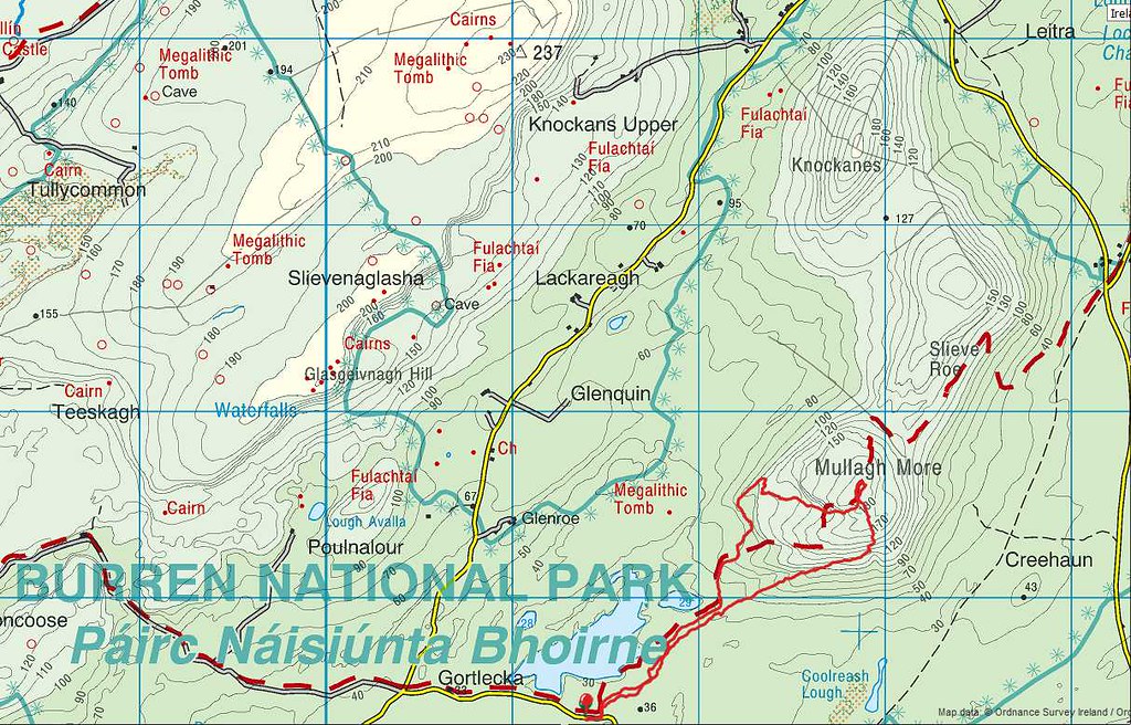
For those who can't be bothered, then this is what it looks like

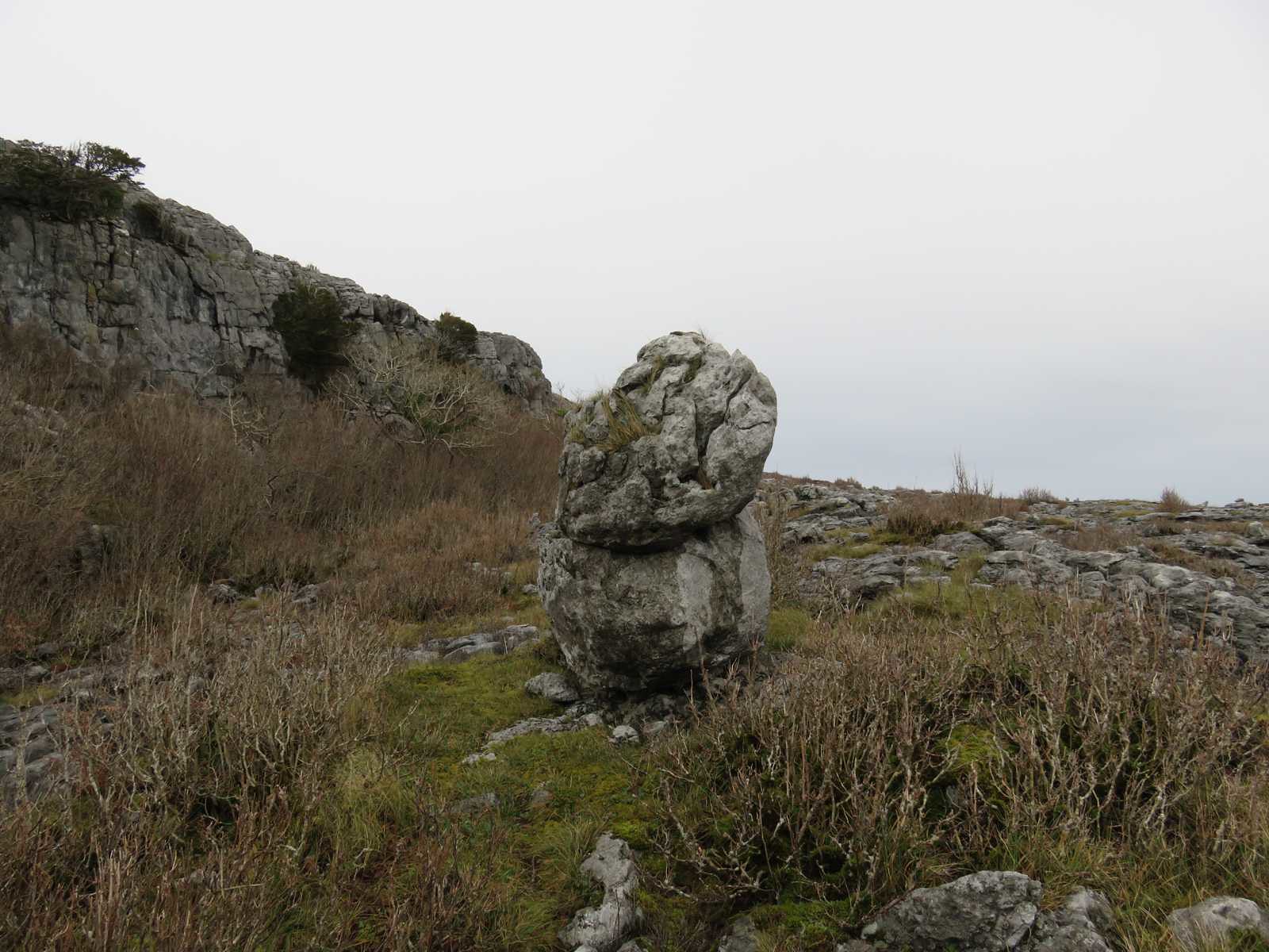
Now I know what's out there and how to get to it, I couldn't resist going back and checking out this intriguing looking lump of rock.
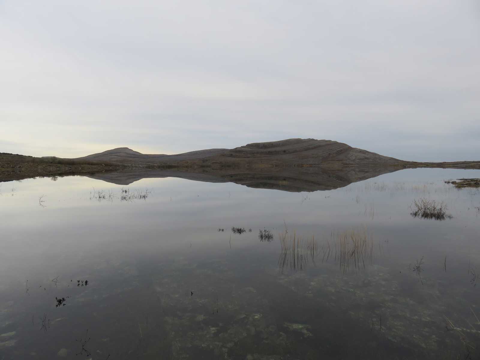
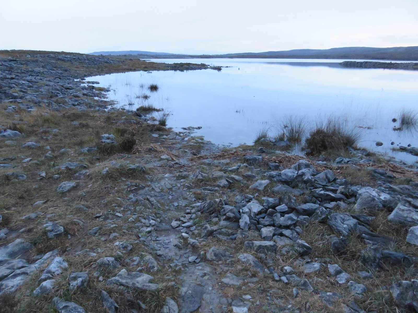
Arrive in time to get a photo mirrored in the perfectly still lough
I knew from last weeks escapade on the bike that there was a marked track heading in the direction of Mullagh More, and headed along suspecting I would have to make a diversion pretty quickly as the path would inevitably lead into the flooded lough

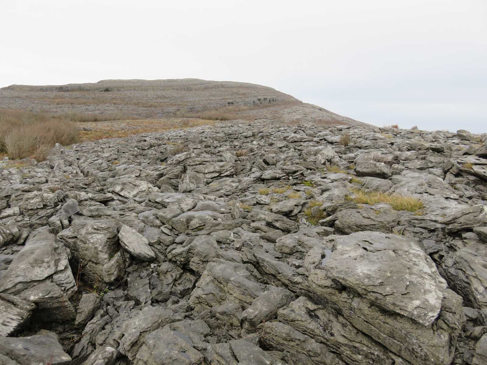
and so it was, but the ground is fine, rock hopping, but fine.
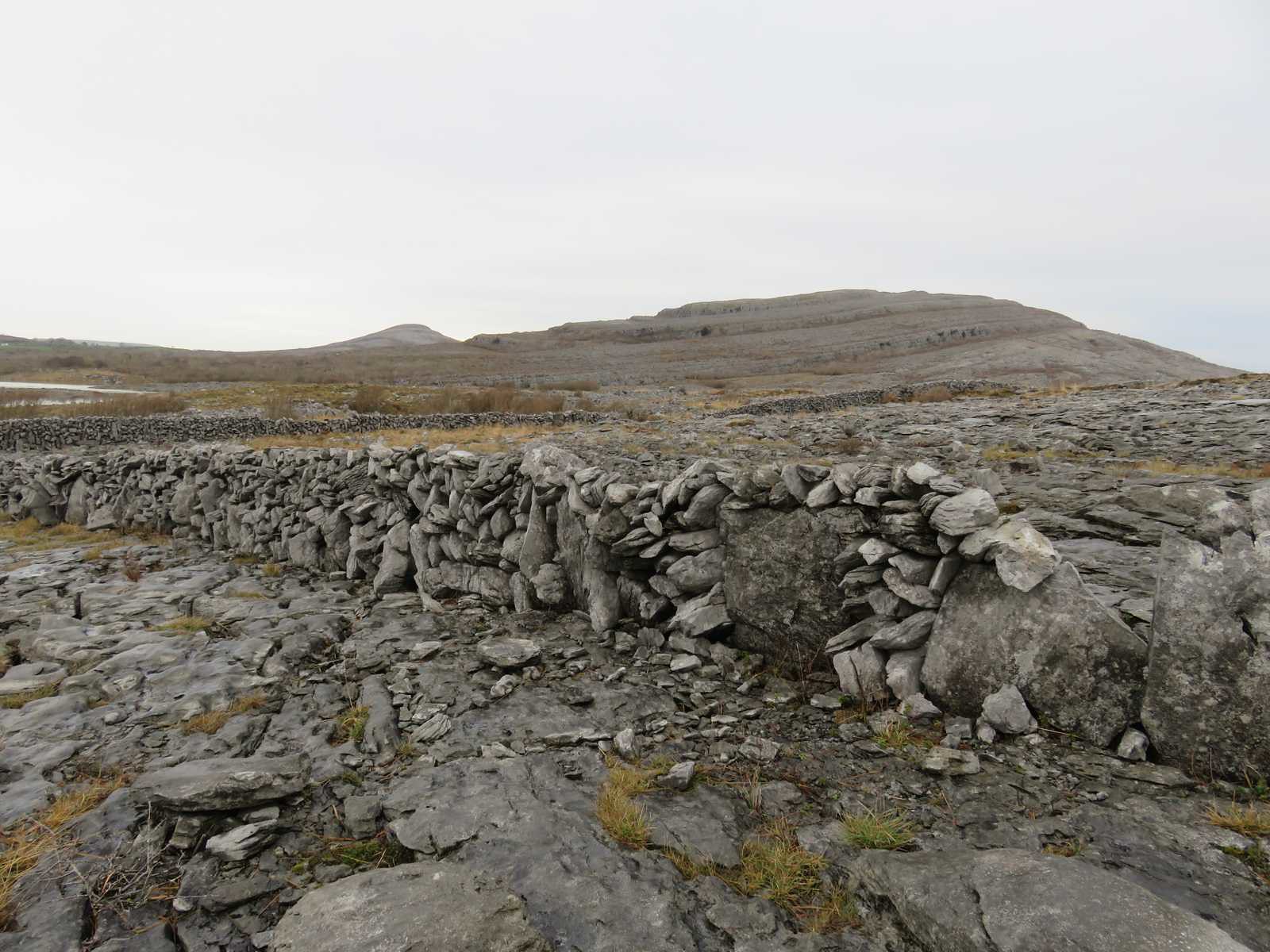
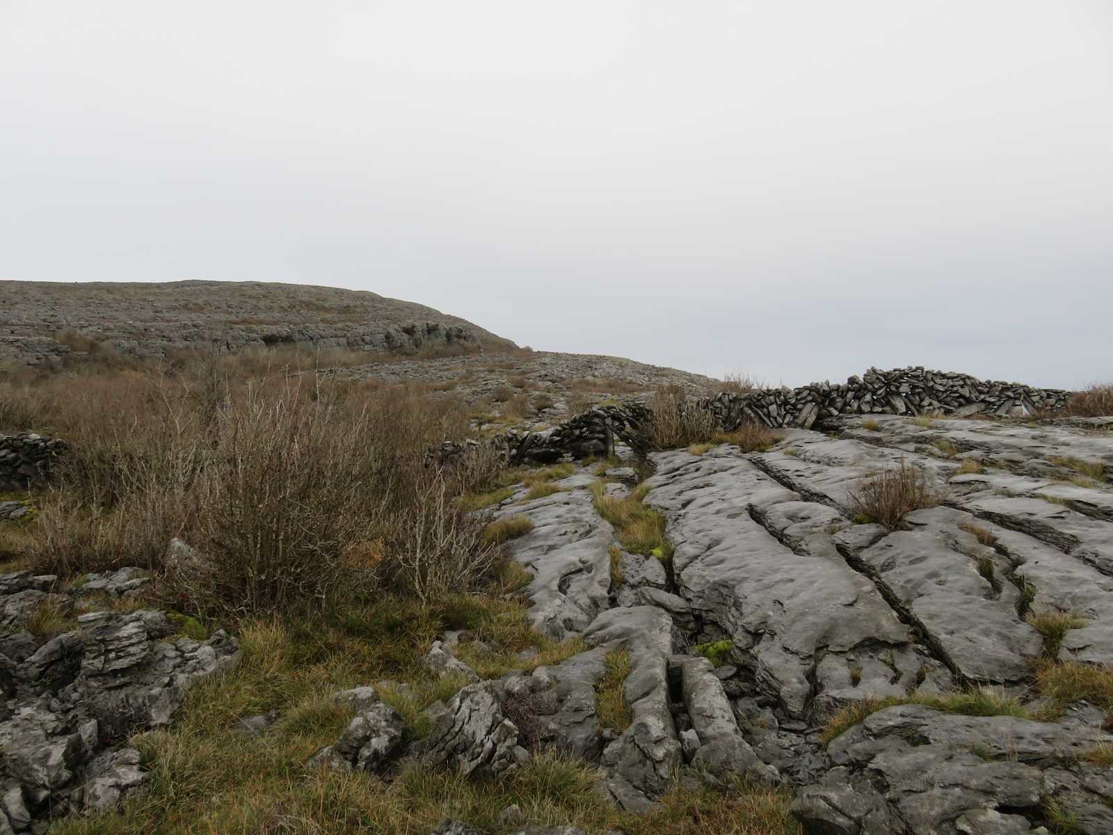
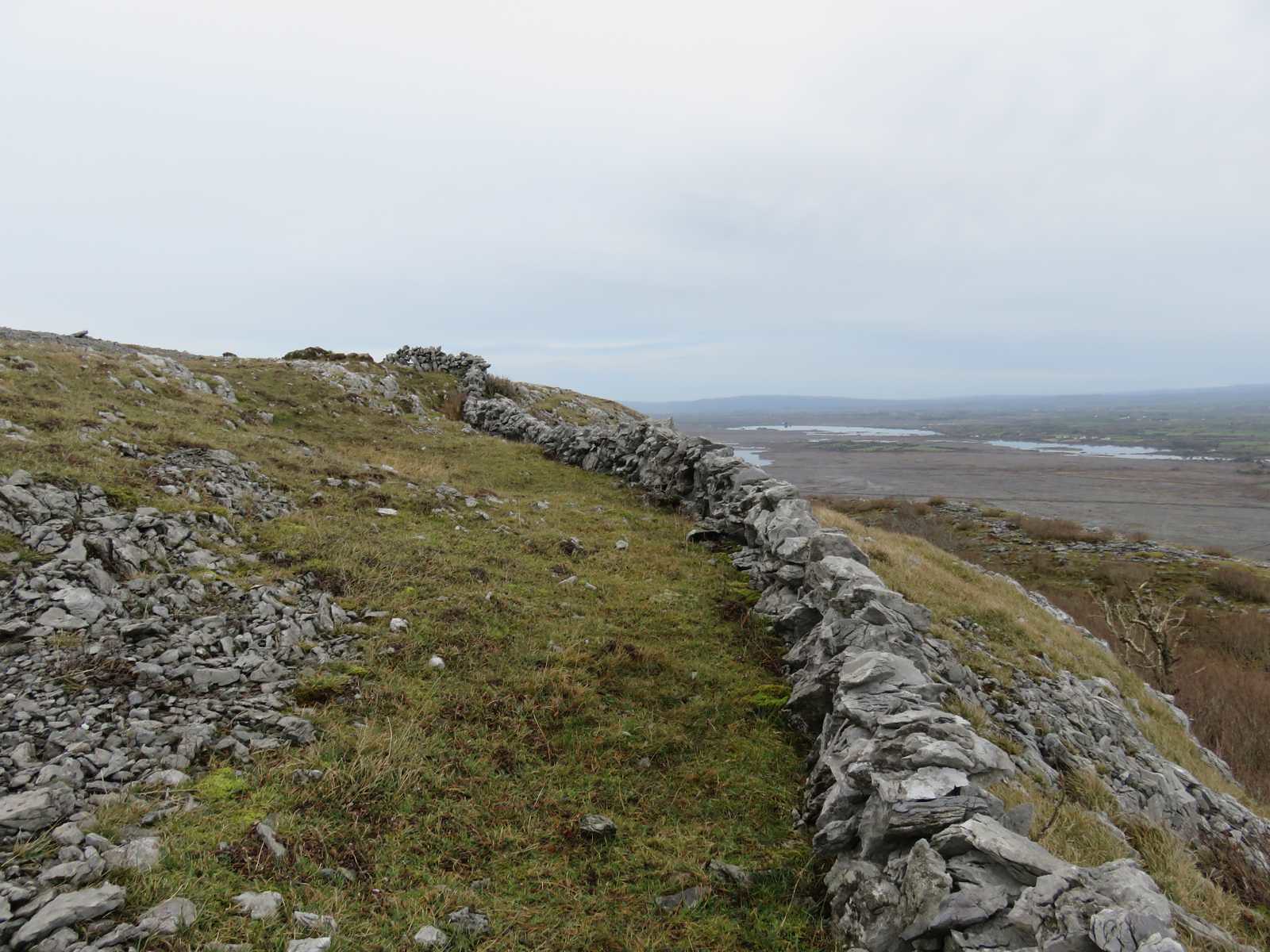
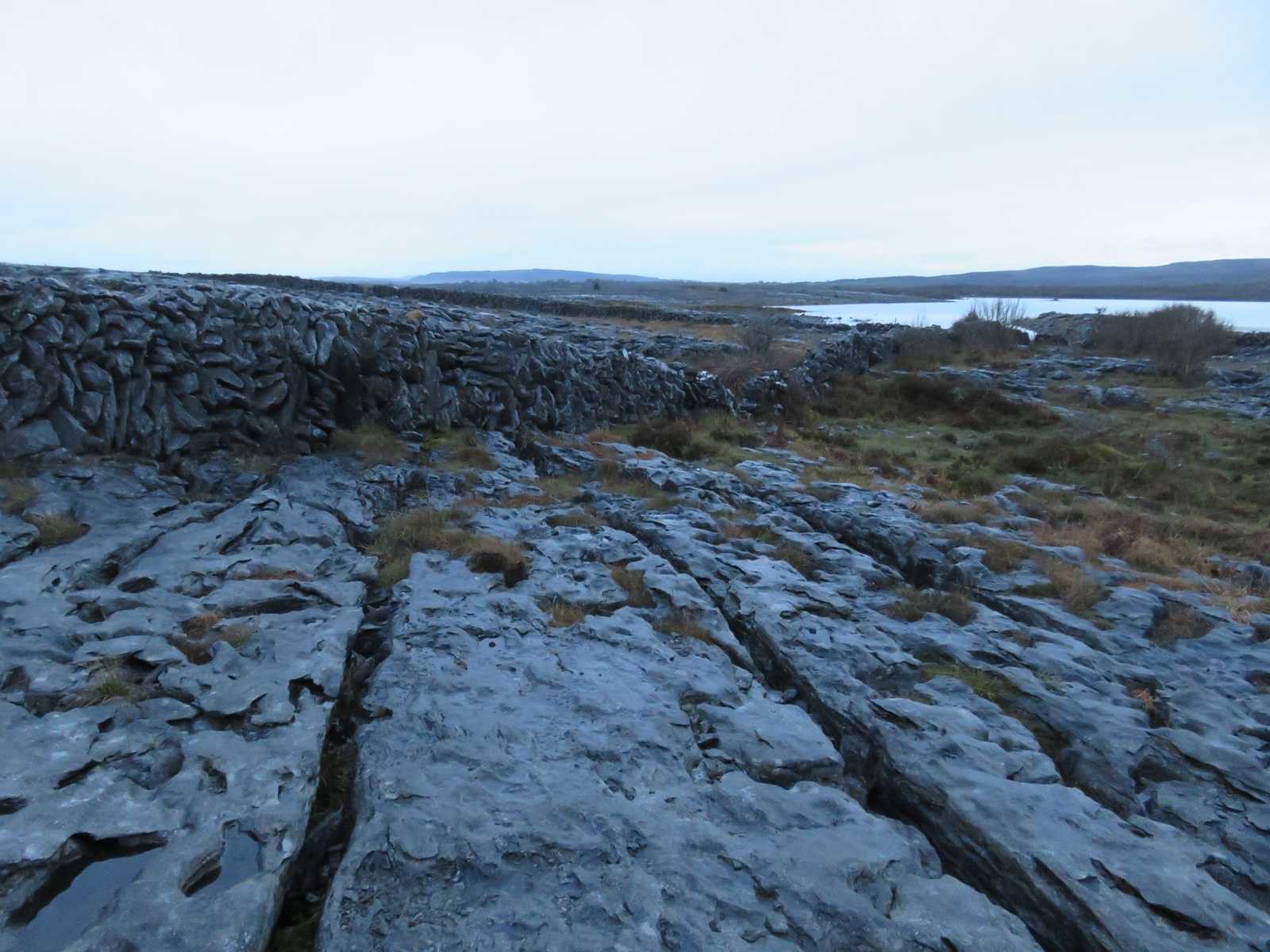
Another of the interesting walls

I'd noticed that at the end of the helix for want of a better description it looked a pretty tame ascent, so skirted round this wall and proceeded up below the lower cliffs
The rocks are deceptive, not always solid

So even though it isn't at a thousand metres, due care and attention needed
Another wall with a gap for something to get through, possibly it's modern for dog walkers
I doubt they would have erratics here

So this was interesting, there were a few others, probably rock fall that's eroded over time
The severity and height of the cliff eased and I found a nice wee scramble
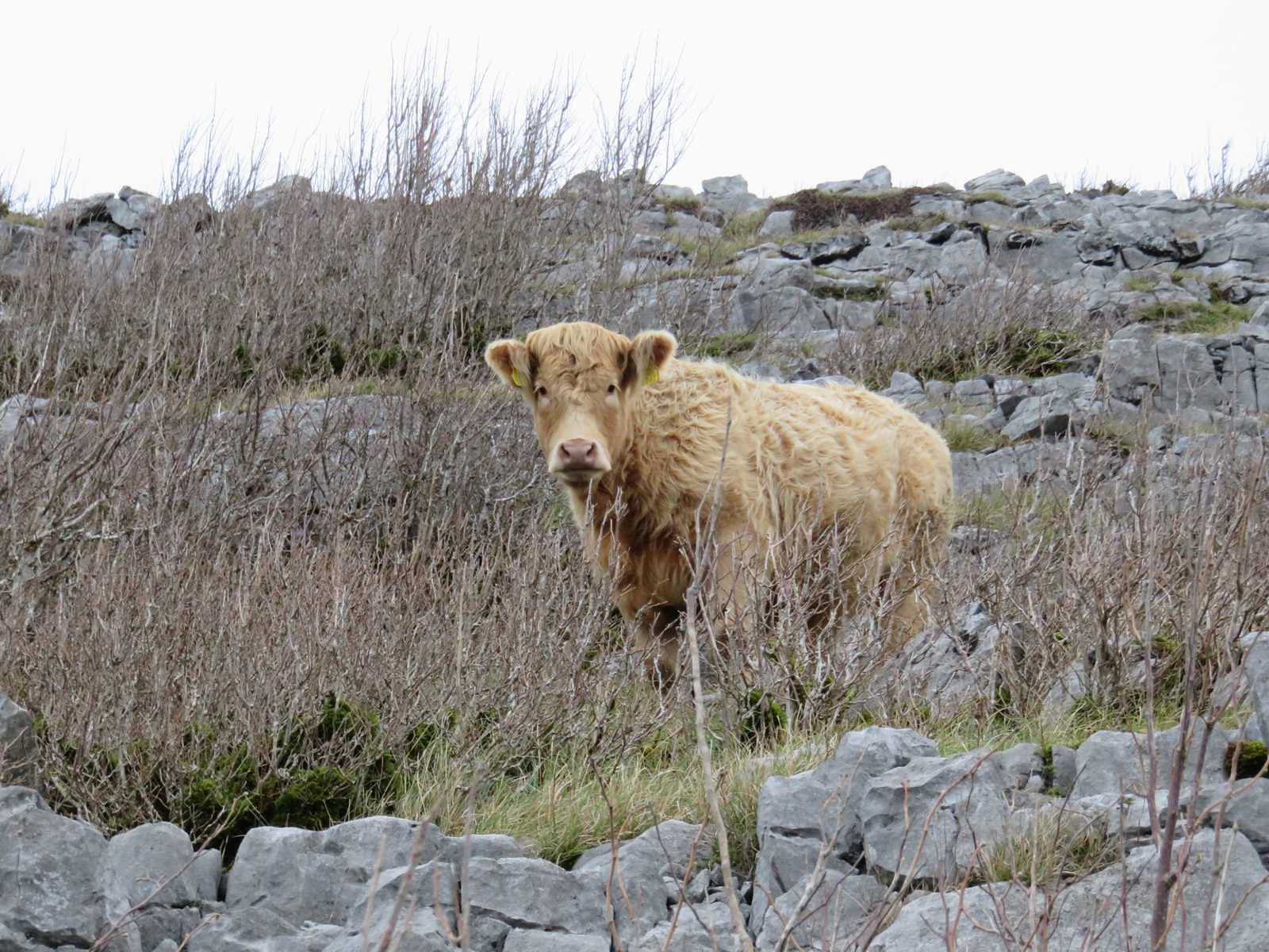
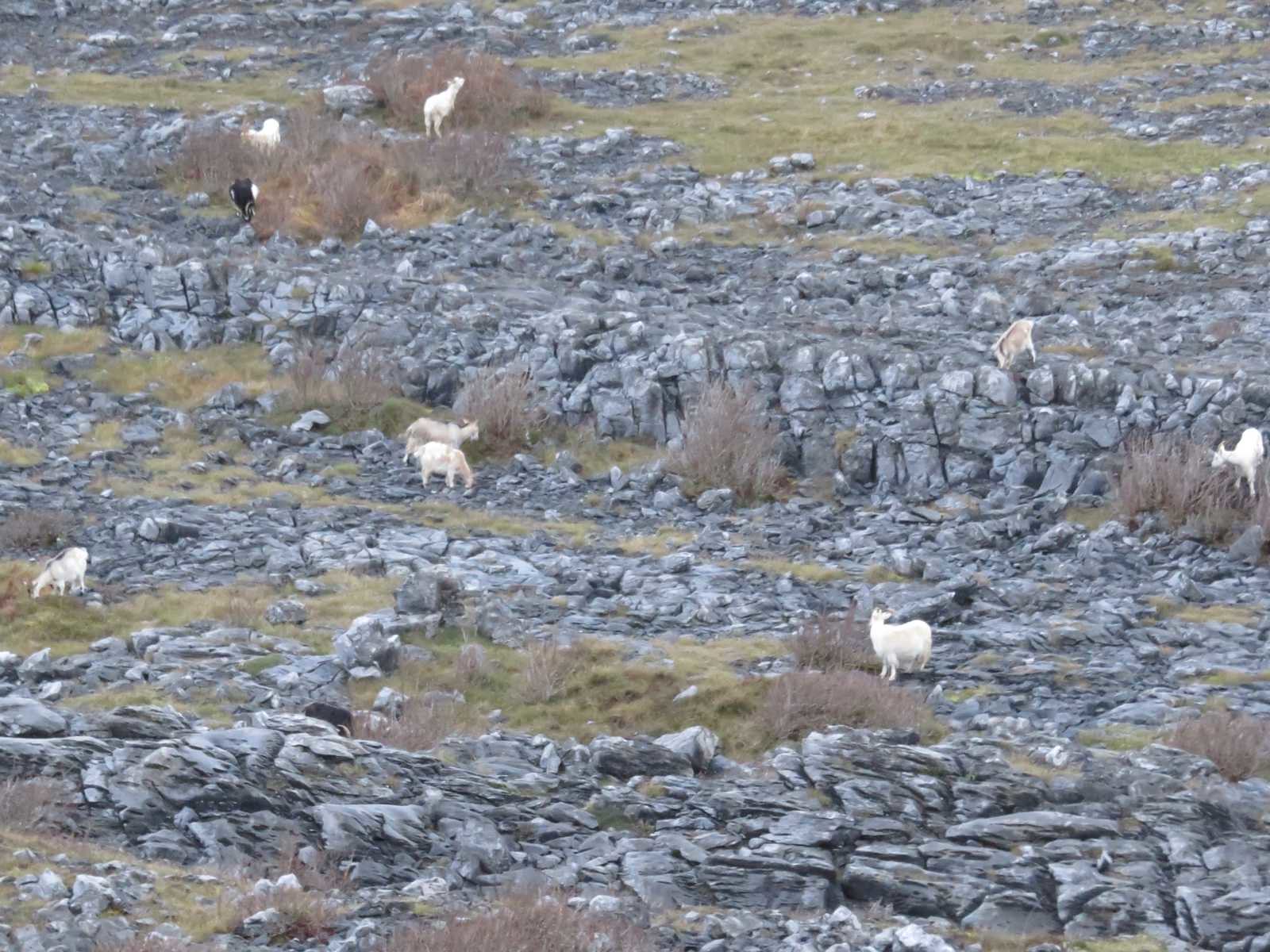
Not sure how long this creature had been watching me climb up, but it and its chums further along were very docile and just watched curiously as I made my way along
yet another wall
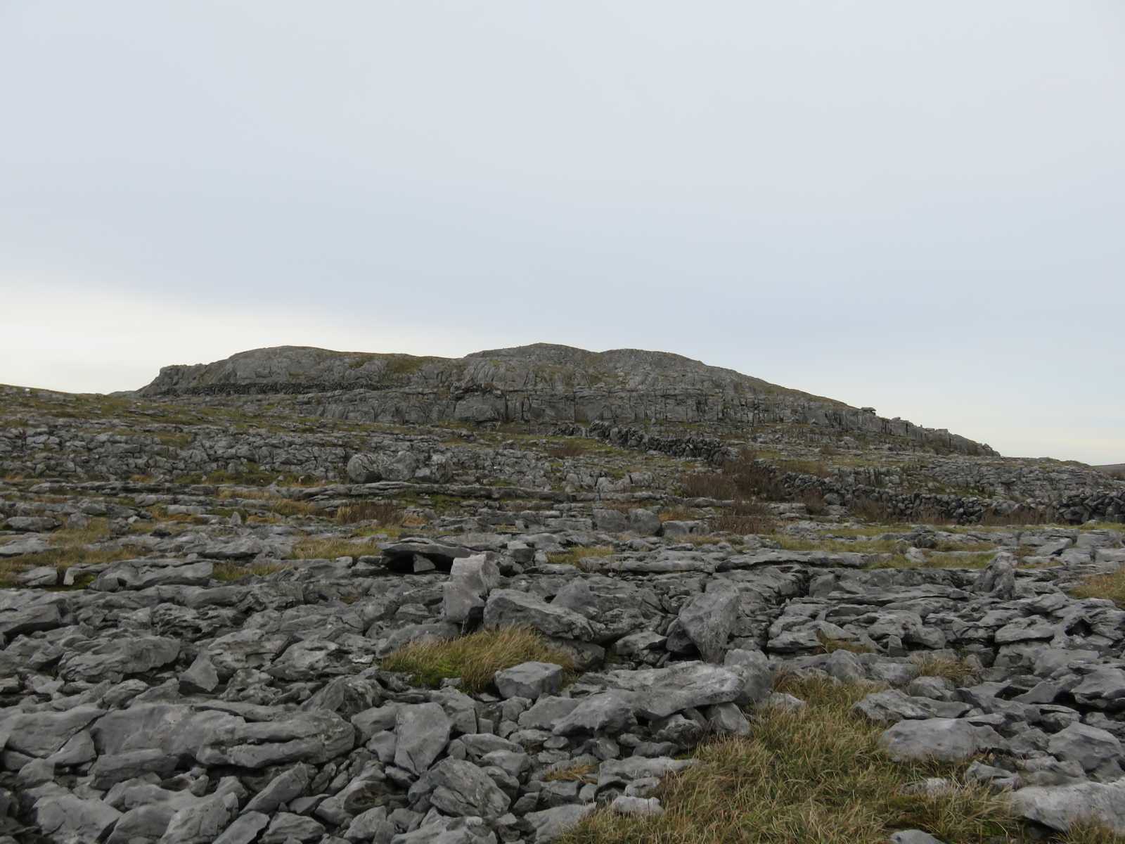
and was soon looking at what I assumed would be the final set of tame scrambles up to the top
A wall with a view
I guess they aren't short of material around here

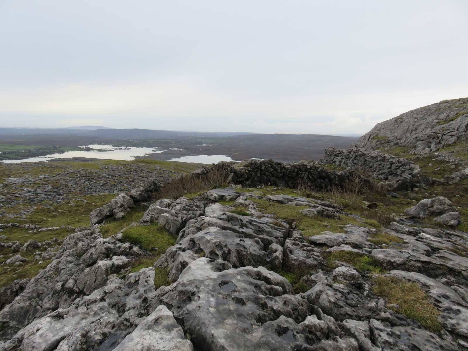
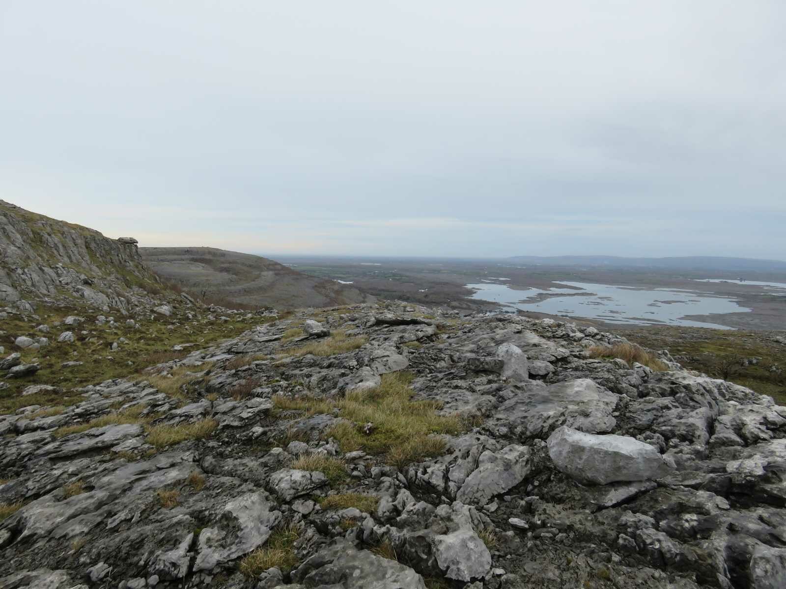
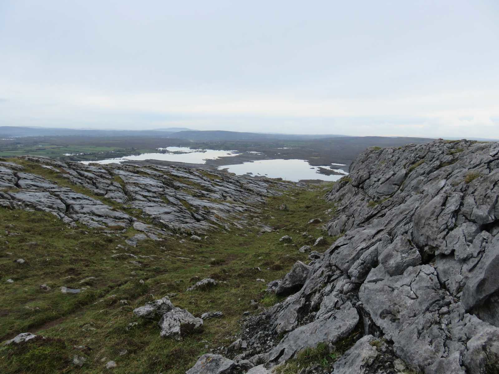
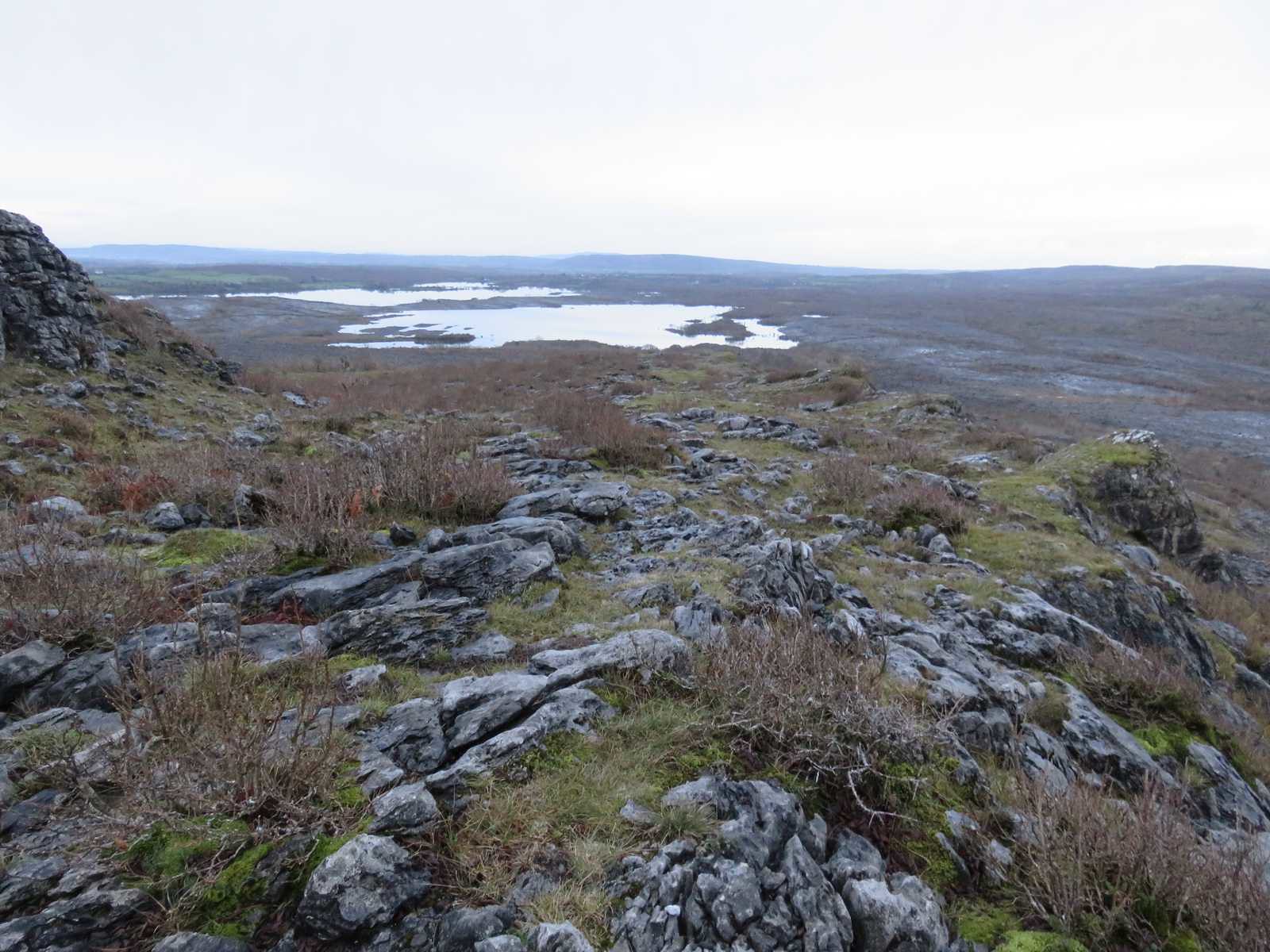
The view north from about the same spot
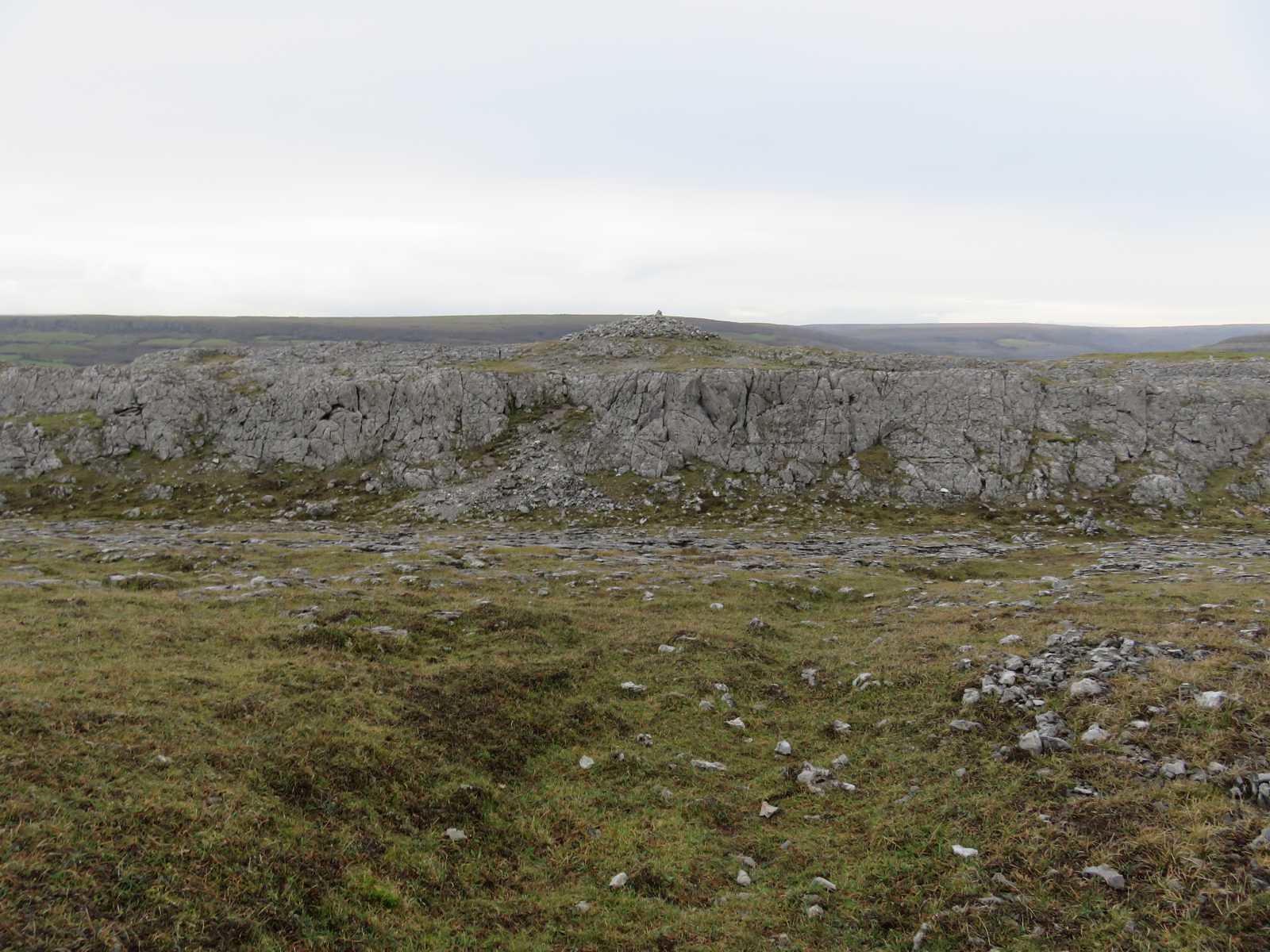
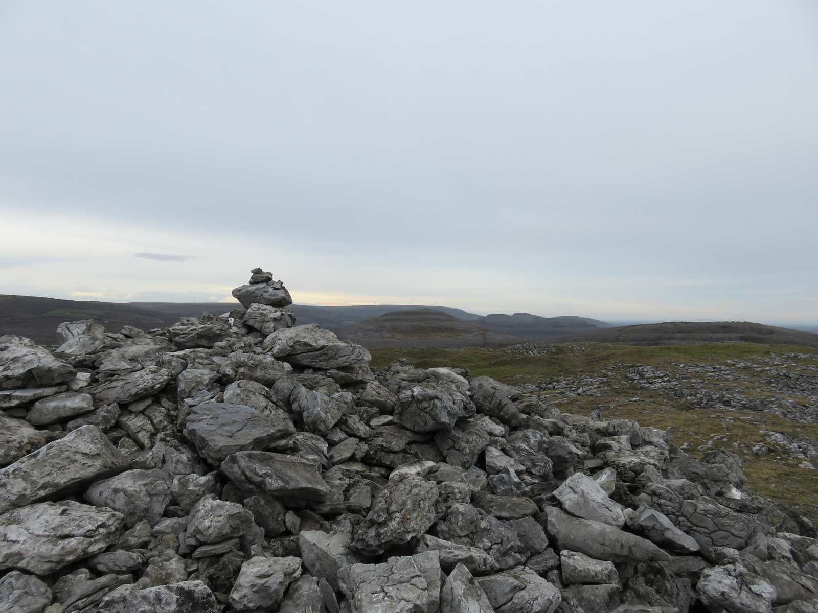
Then a view of the cairn at the top
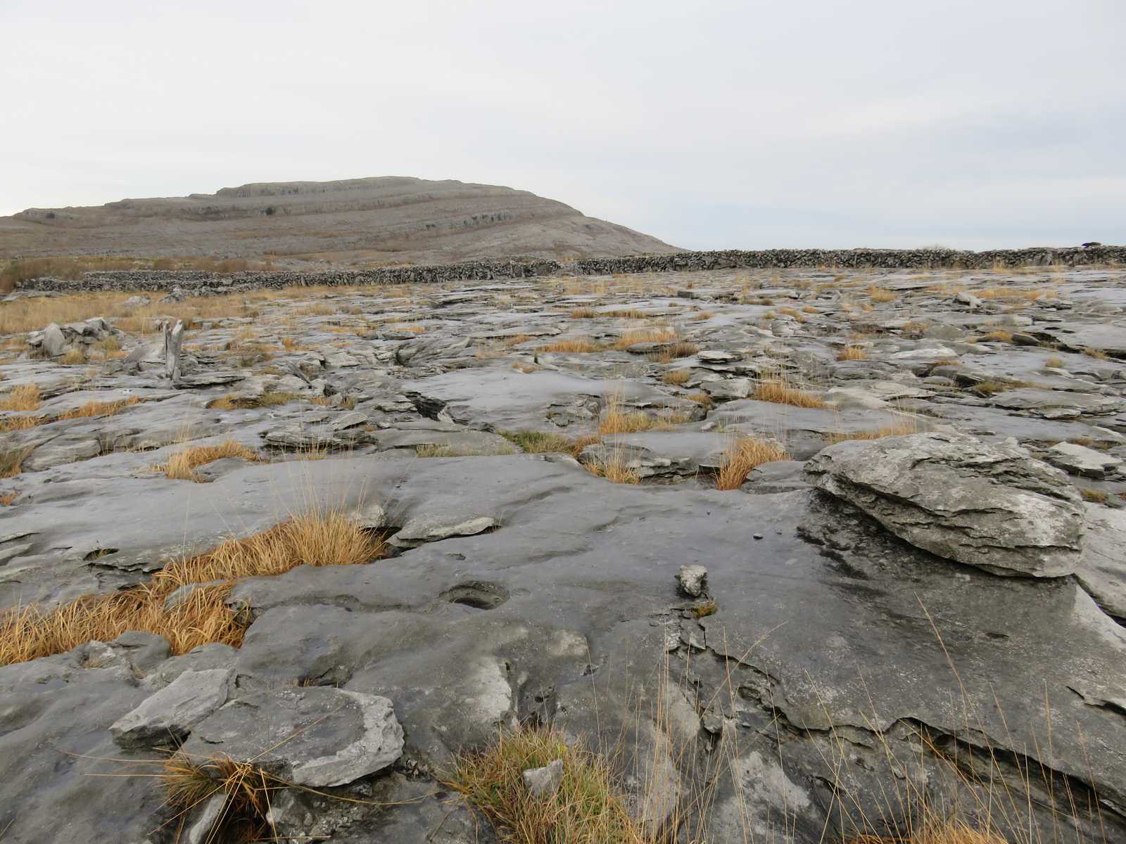
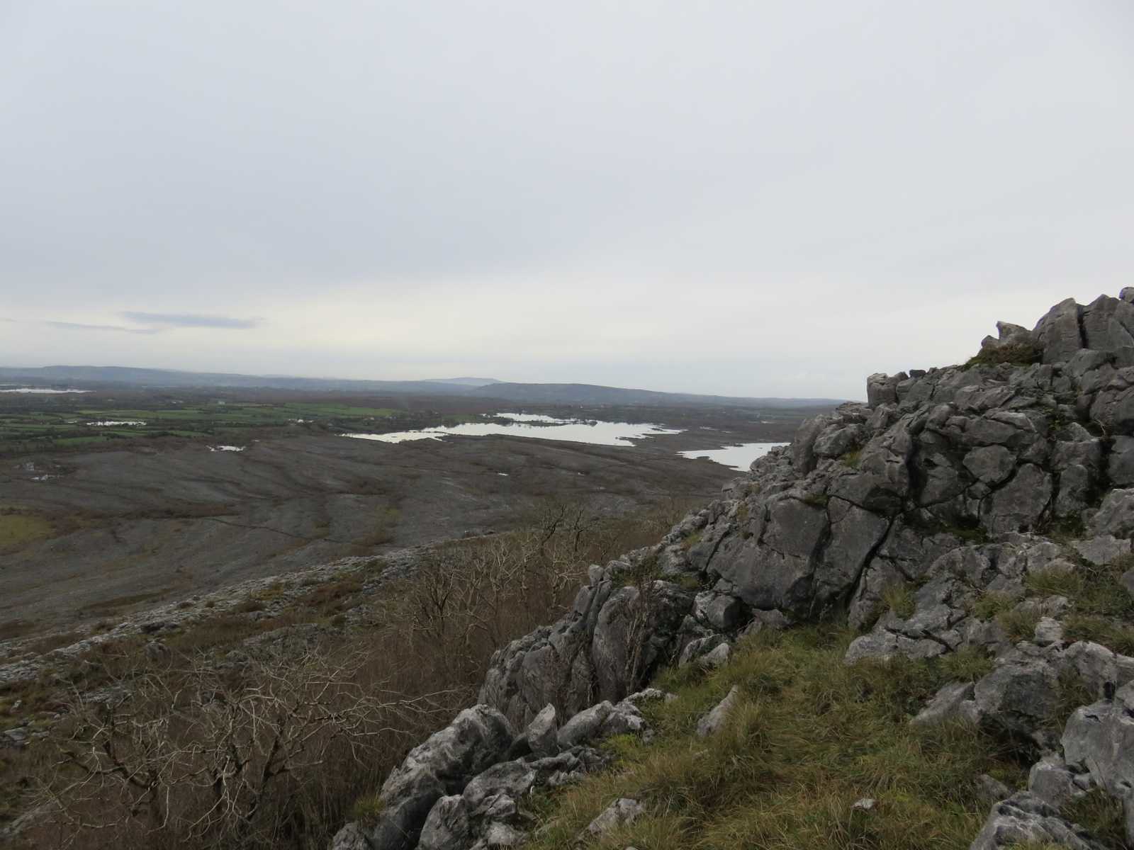
Looking west, it is an unusual landscape
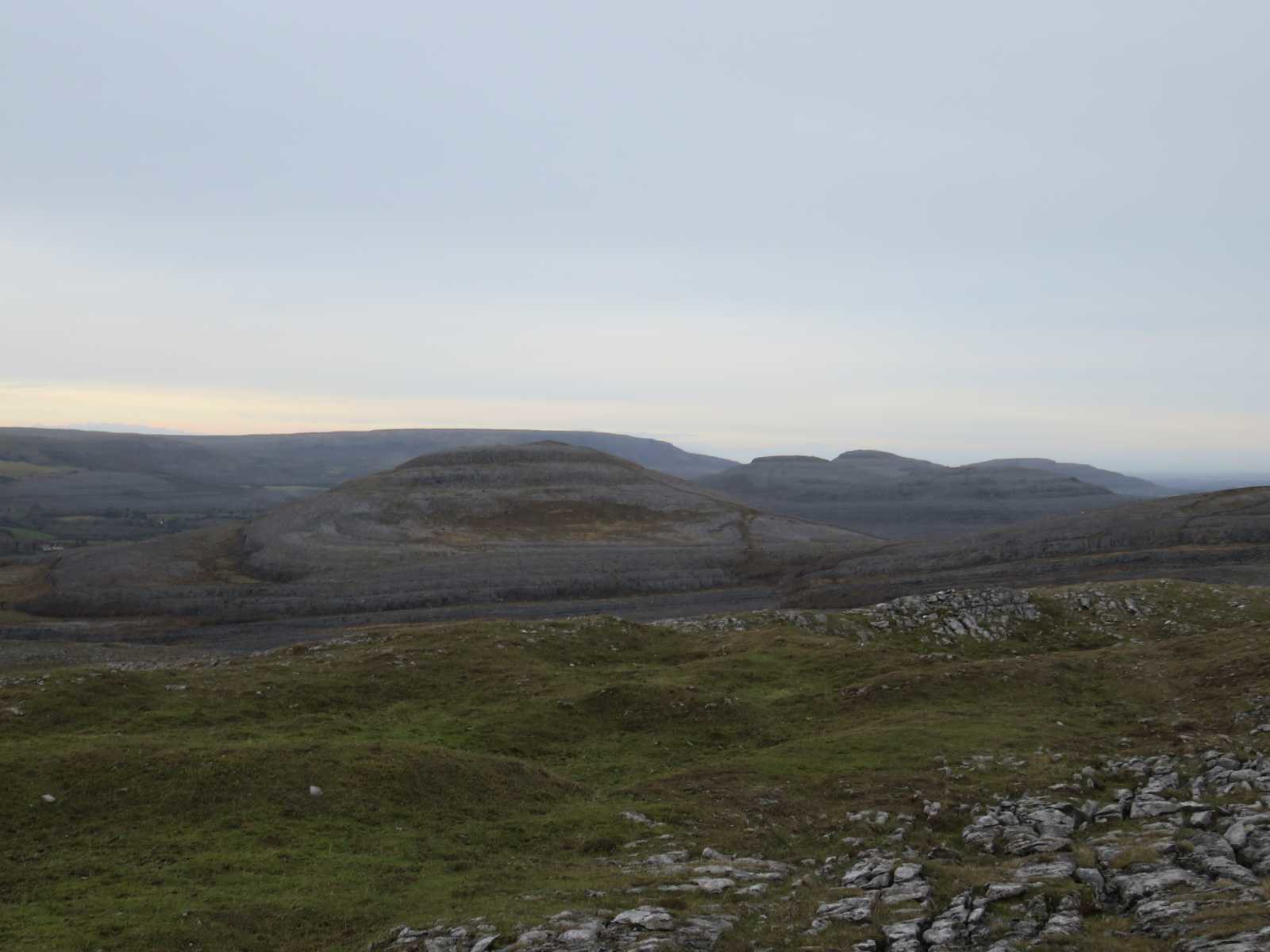
and more Northerly to Slieve Roe and Knockanes
The summit cairn looking in the same direction
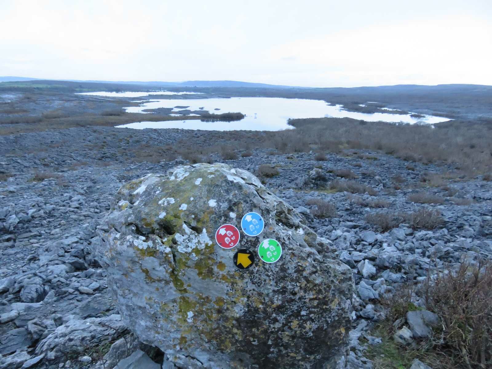
Once at the top there were way markers for green, blue and red tracks and the paths were well trodden
I was a little concerned about the light and didn't have my head torch with me, so the easy going was appreciated
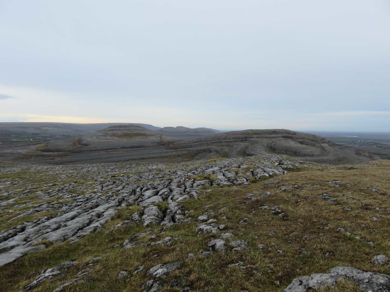
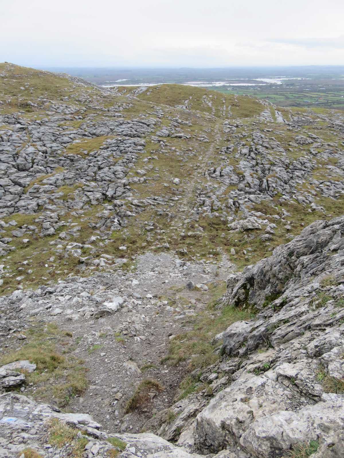
A look back up to the summit dome
Next stage was to find my way done to the next level, no real issue, just a bit to the North and around and down, below a herd of goats grazed
The Burren is saturated with Hazel trees. When I first arrived I went and picked the wild hazel nuts with my sister, they were small, but actually very tasty lightly fried in butter and salt.
On along
and around the ledge. I thought I may have to double back as it first broadened and then narrowed against the cliffs above and below
but there was an easy traverse path down
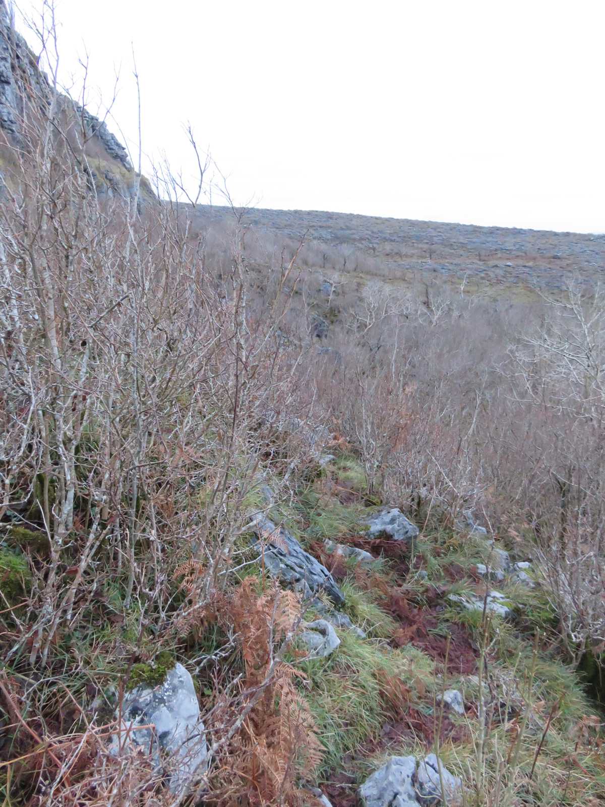
and through a velvet floored Hazel forest
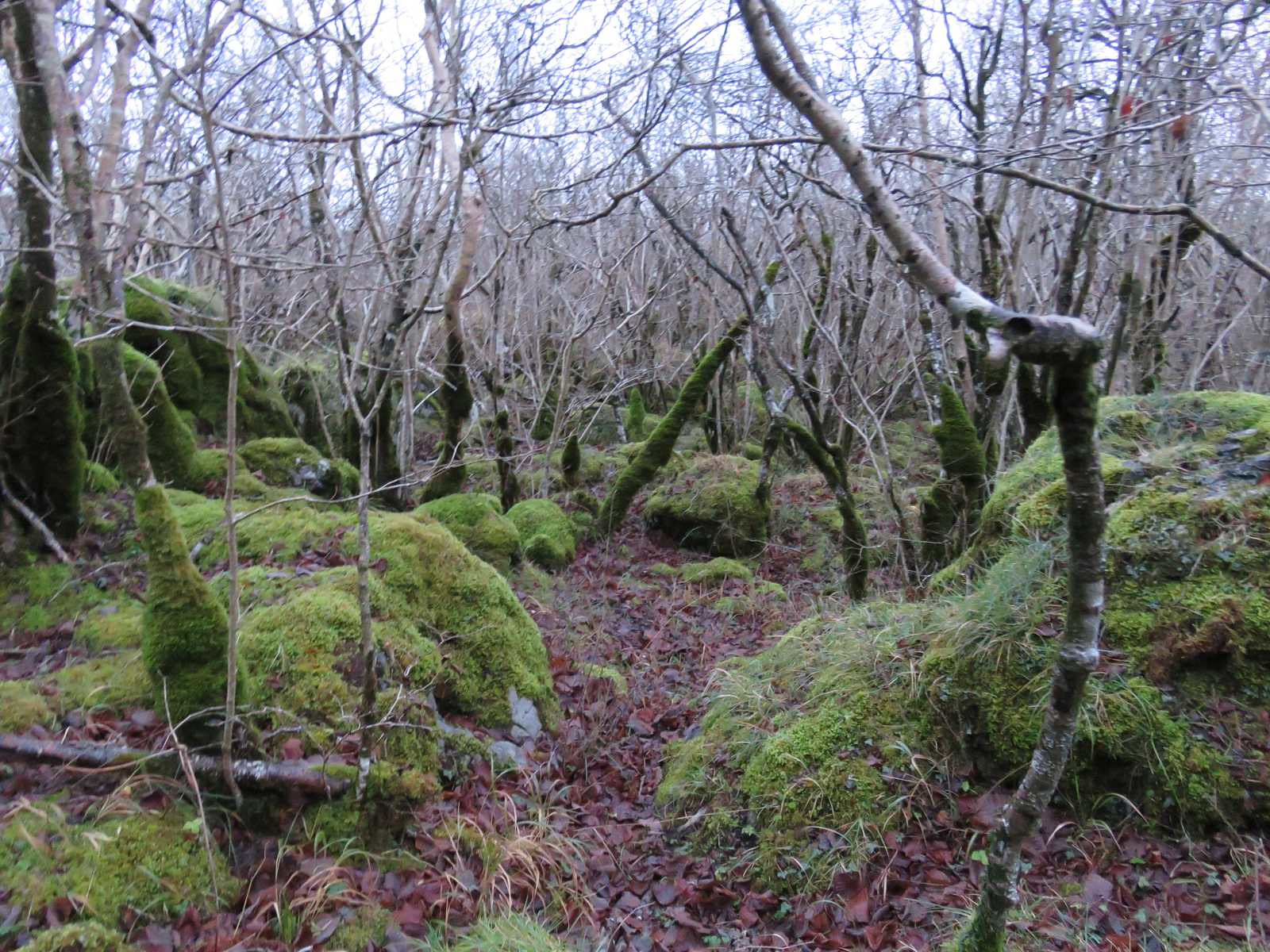
Guess the goats haven't gotten round to this bit yet.
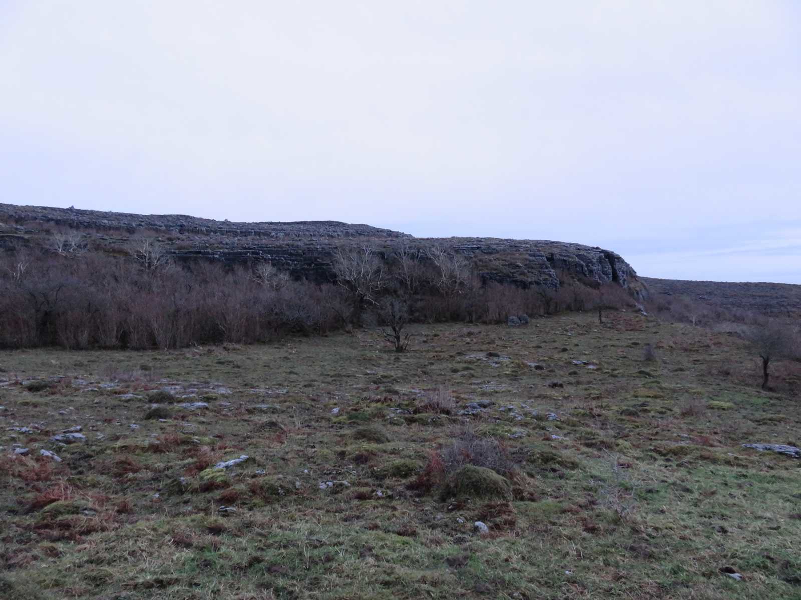
Anyway the forrest is short lived and it is back onto a well trodden path which I knew would be the other side of the path that entered the Lough on the other side, it's well way marked
and sure enough
Guess in hindsight I could have walked around the shoreline, but there was also a path going up to the left at this point, so took that.
Shortly afterwards intersecting the first wall I'd encountered on the way up
A very short but interesting walk and it's just good to get out and about and a bit higher than normal and enjoy the views
