free to be able to rate and comment on reports (as well as access 1:25000 mapping).
Corbetts: Ben Ledi, Benvane, Beinn Stacath.
Grahams: Creag Mhor.
Sub 2k Marilyns: Beinn an t-Sithein
Date: 25/03/2016.
Distance: 33km.
Ascent: 2430m.
Time taken: 9 hours, 40 minutes.
Weather: Sunny for first part, cloud moving in for second part. Windy all day, particularly at end.
My wife asked me why I'd chosen to drive so far to do such a long walk on Good Friday - why didn't I just wait until we were spending a weekend in Dundee to do this one? I came up with this route (or something very similar) about 5 years ago and have always been intending to head out from Dundee, but it never seemed to happen. The 2.5 hour drive from Inverness isn't
that long really so I just decided to go and do it next time the weather and daylight hours suited.
Originally I was going to drop my bike off at Kingshouse and drive on to the Ben Ledi carpark, using the cycle route down the side of Loch Lubnaig to get back to the car. A couple of tweaks later and I decided to move the finishing point to Strathyre to include Beinn an t-Sithein, and also to get the first bus from Strathyre down to the other end of the loch to skip out on having to cycle. Catching the bus meant leaving the house just after 5:30am, so despite being a bank holiday, there was very little traffic about, only a logging lorry slowing me down for 20 minutes or so along the side of Loch Tay.
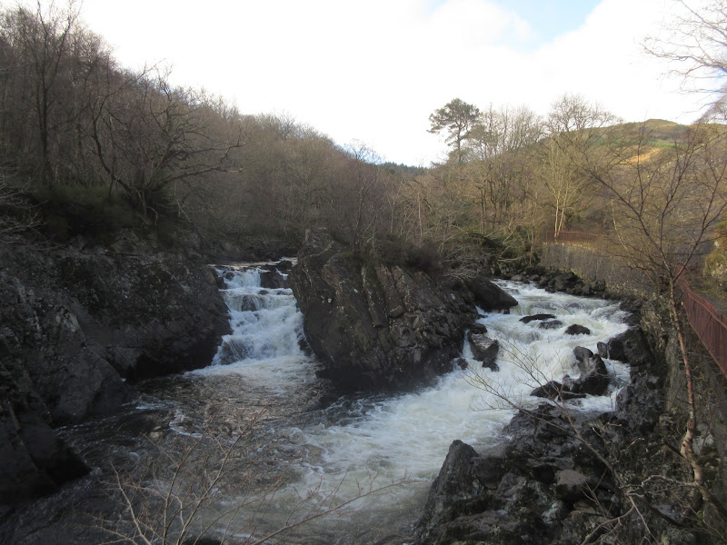
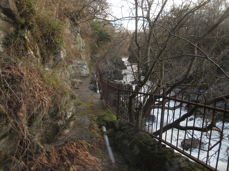
I made the mistake of assuming the bus driver would know where to drop me - he overshot by almost a mile and let me off at the Falls of Leny parking spot. It was a bit of a fight through the trees to avoid the narrow main road, but I did get to see the falls - has to be said this viewpoint looks fairly neglected.
Falls of Leny:
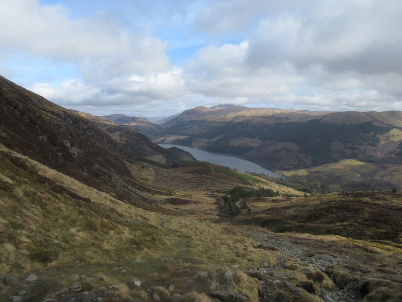
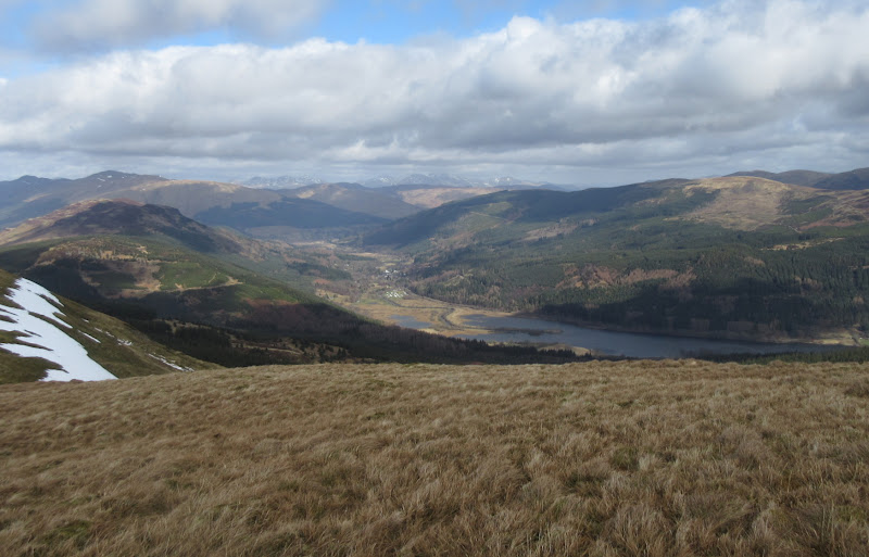
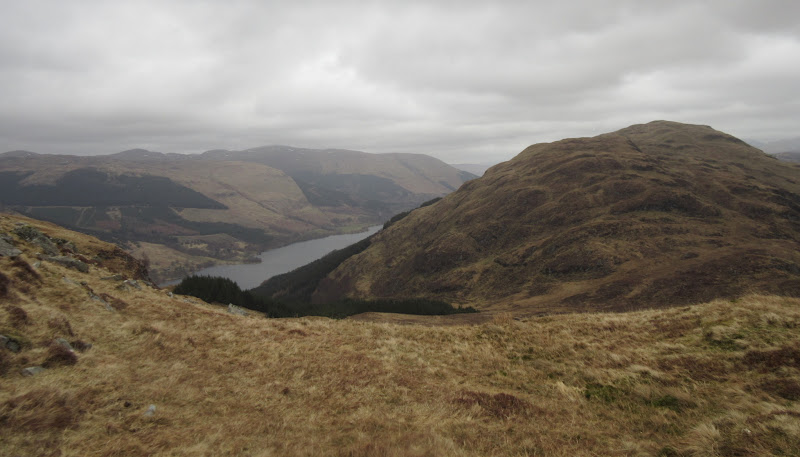
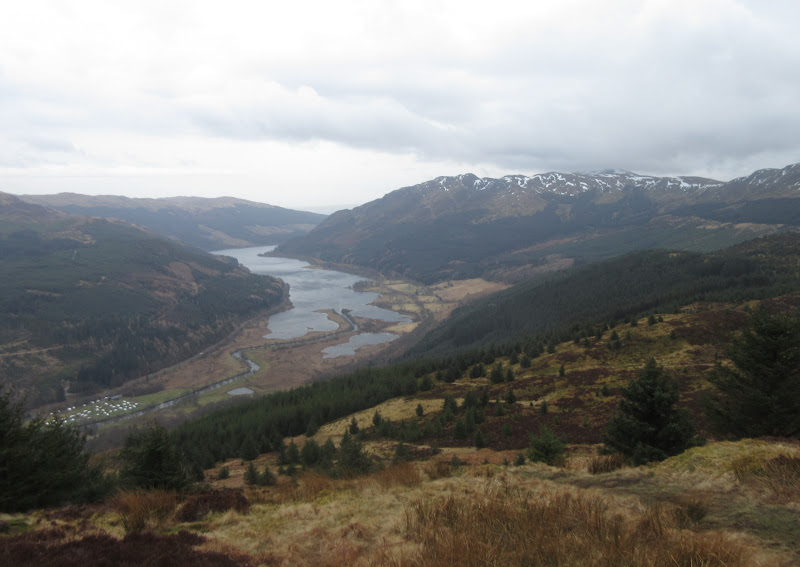
I was back at the correct Ben Ledi starting point by 9am, from where the way was obvious. Good views back up Loch Lubnaig for most of the ascent onto the ridge.
Loch Lubnaig and the Meall Mor end of Sgiath a’ Chaise:
Creag Ghorn of Ben Ledi:
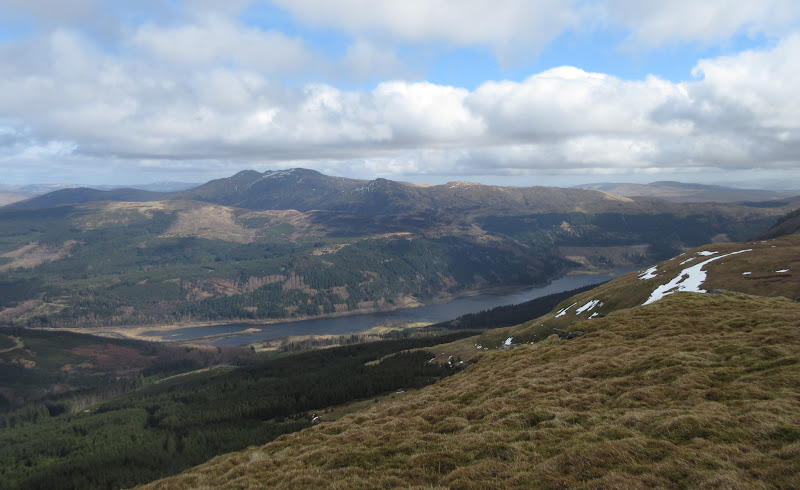
…and back down to Loch Lubnaig:
Once round the corner and onto the S ridge, the wind made itself known for the first time. I passed a guy on his way down, and there was another person on the summit. So much for it being a really busy hill!
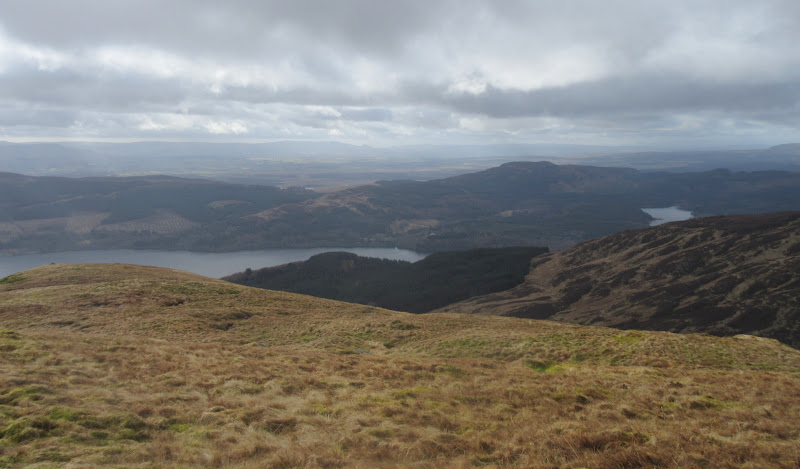
Loch Venachar and Loch Achray:
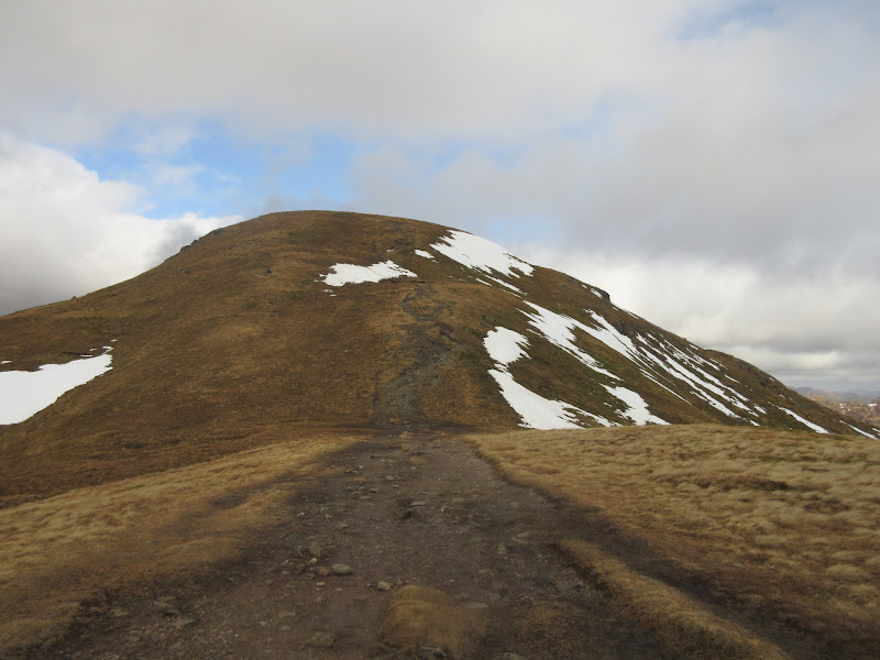
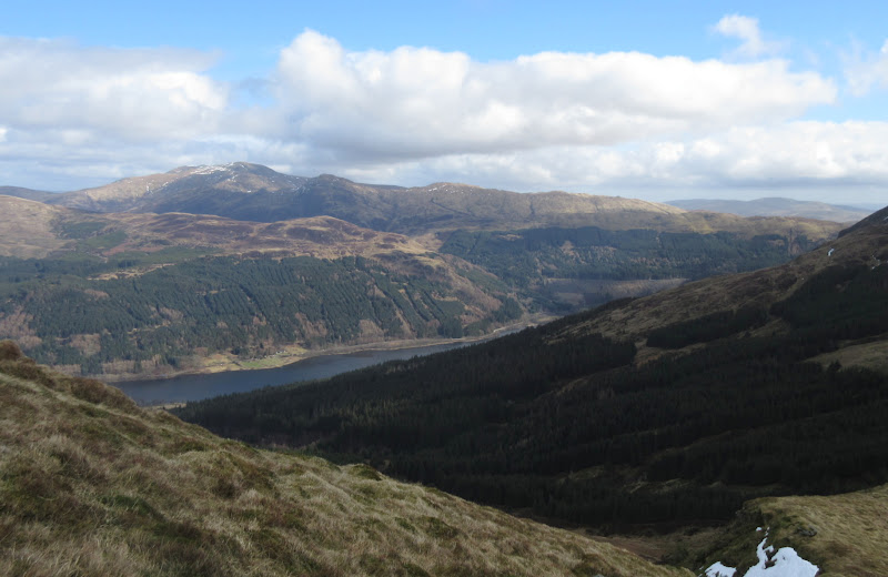
Final climb to Ben Ledi
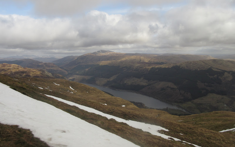
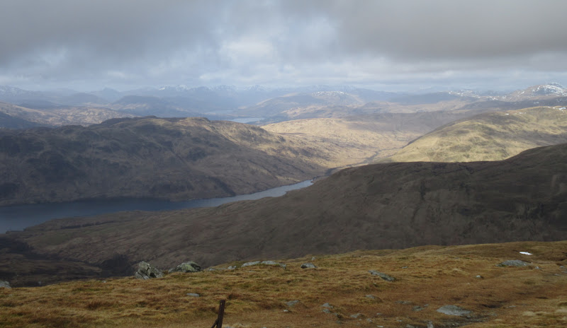
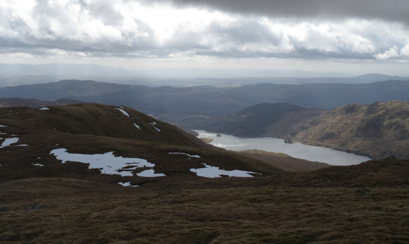
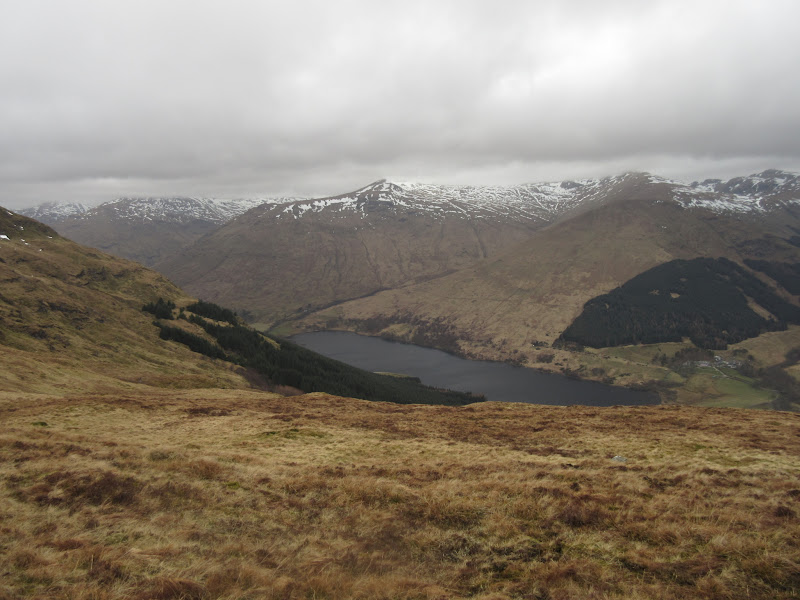
Loch Lubnaig and Stuc a’ Chroin:
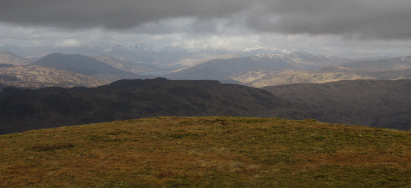
There were some reasonably extensive views to the west, but the highest hills were in the clag. I wasn't far off being in it myself, but managed to avoid it.
West to the Arrochar Alps:
Loch Venachar:
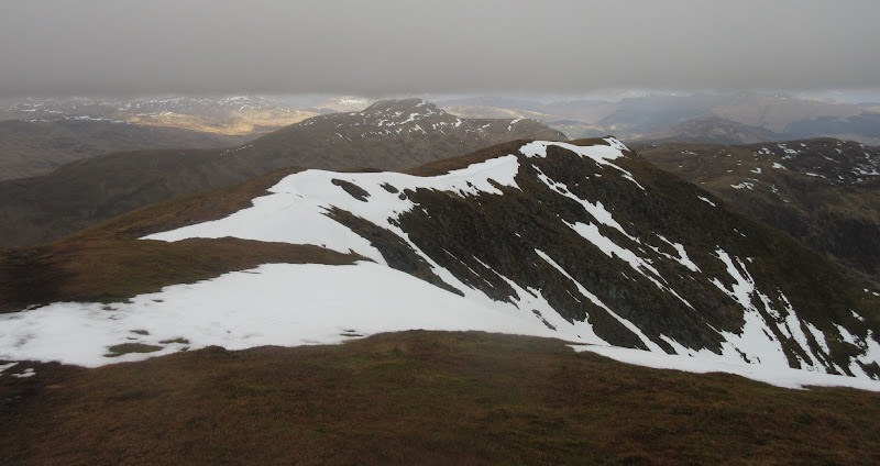
There was a nice walk along the top of the east-facing corrie before I dropped down to Ardnandave Hill and the traverse to Benvane. Odd to have left such a popular hill for so long, as it is quite similar to Ben Vrackie, which I have been up lots of times.
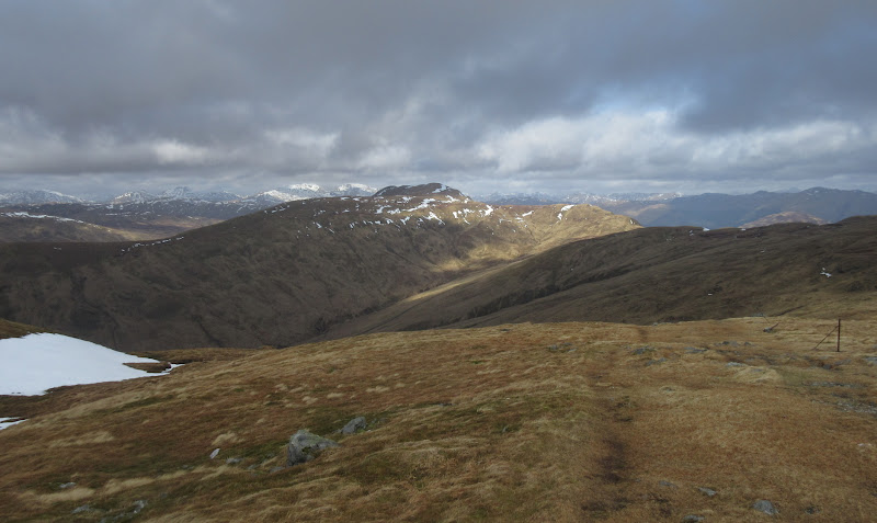
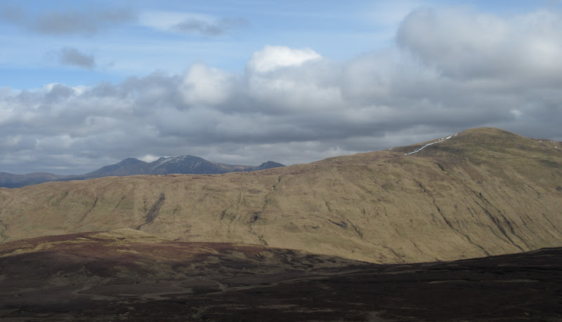
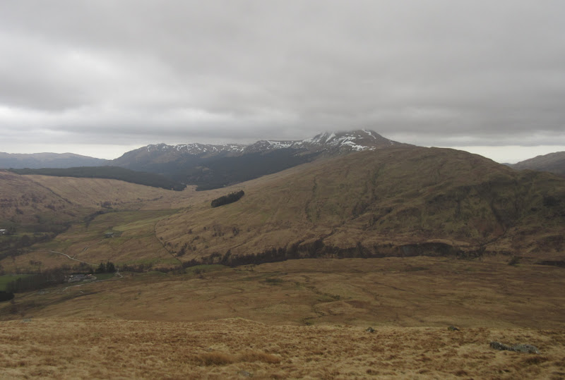
Benvane from Ben Ledi:
Benvane and the Crianlarach hills:
The walk over to Benvane could have been quite a nice wander if not for the wind, which was relentless. I have walked in much higher winds this year, but this one was persistent and seemed to get around every corner. That was pretty much the theme for the day.
Glen Finglas Reservoir and Meall Gainmheich (Ben A’n to most of us):
Benvane getting closer:
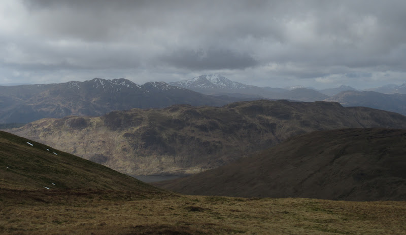
Ben Venue and Ben Lomond:
Looking back at Ben Ledi:
Strathyre:
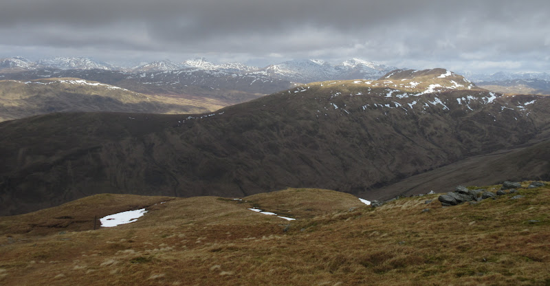
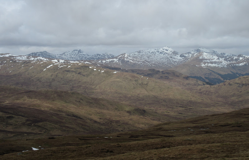
It took me about 90 minutes to walk between the summits of Ben Ledi and Benvane. The top of Benvane was as windy as everything else, and while I found a small hollow in the lee of the hill to sit in for lunch, the wind still seemed to find its way in. There were good views of the Crianlarich hills from here - Stob Binnein and Cruach Ardrain in particular. Beinn an t-Sithein was holding the sun, as it did for most of the day (until I got there).
Final ascent to Benvane:

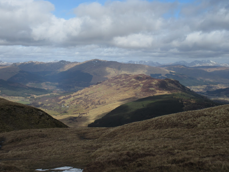
Stuc a’ Chroin:
Glen Buckie and Beinn an t-Sithein:
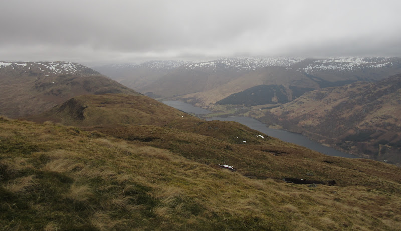
Vorlich, the Stuc and Loch Lubnaig from Benvane:
Glen Finglas Reservoir with the Campsies in the background:
Good views of Cruach Ardrain…
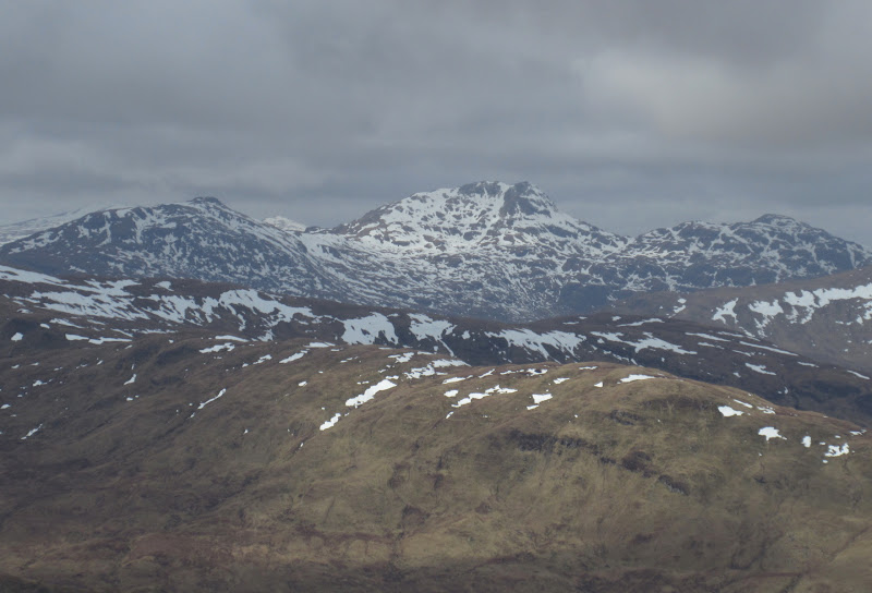
…and Stob Binnein/Meall na Dige from Benvane:

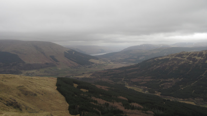
From here I dropped down the north ridge for a bit, before diverting off the side and descending to the glen that the Mell trail climbs out of. I used this good track for next couple of km to make the going easier, passing a few people. Still not that busy for a bank holiday.
Benvane from the Mell trail:
Across Benvane to Vorlich and the Stuc:
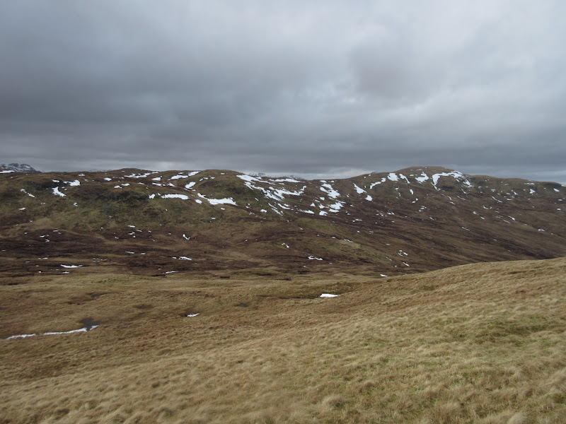
At the high point of the Mell trail, I hit the slopes to the north to begin my traverse over to Beinn Stacath. I didn't bother to get the map out, and was surprised when the summit of Creagan nan Sgiath actually seemed a bit of a distance away. I had just assumed it was right next to the track. There should have been some good views out over Loch Katrine from here, but poorer weather was coming in from the west. It was a bit of a peaty wander across to the main bulk of Beinn Stacath, but the ground firmed up nicely as I approached the summit.
Featureless wander across to Beinn Stacath from Creagan nan Sgiath:
I'm not sure what the most accepted name for this hill is (there are several in different guidebooks and lists), but I like Beinn Stacath as I can spell and (probably) pronounce it easier than the other options! While it wasn't as interestingly steep and craggy as Stob a' Choin to the west, it redeemed itself by having lovely easy short grass underfoot on the higher ridges. Views were reasonable too, but this was getting harder to judge with the weather moving in on the higher hills.
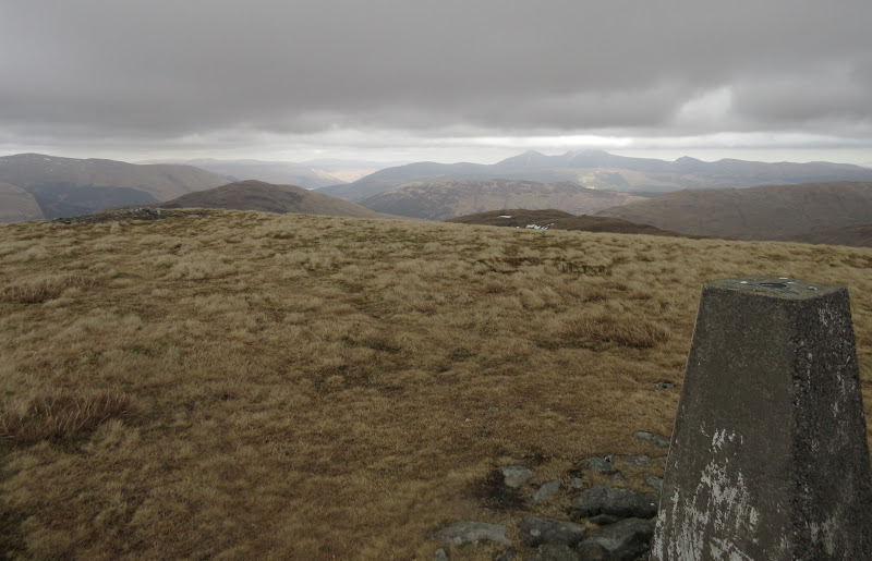
East from Beinn Stacath:
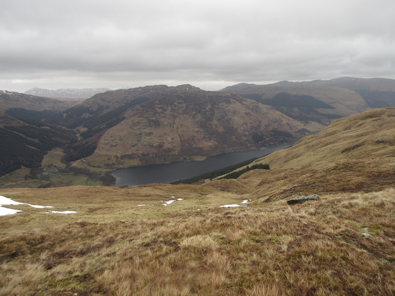
As I moved towards Creag Mhor, I began to get glimpses down to Loch Voil, which is what I had been hoping for when I'd looked at the map of this area. A steepish descent down a grassy south-facing gully seemed to be the easiest way down to the Bealach Driseach (brambly col? Didn't encounter any thankfully). Creag Mhor is a bit shapeless, but it looked good and rocky from here, reminding me of Beinn Bheag down in Cowal.
Loch Voil and The Stob:
Cloud has descended on Stob Binnein:
Loch Voil and Creag Mhor:
To try and escape the wind again, I took a slanting traverse up a terrace on the southern slopes rather than following the fence along the crest of the ridge. Close to the summit, I crossed over to the north side of the ridge to get some more views down onto Loch Voil. Might have been the weather conditions, but today I preferred Creag Mhor to its higher neighbor.
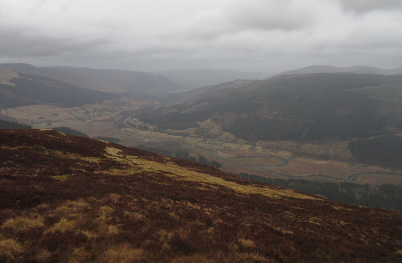
Last look down the Braes of Balquidder from Creag Mhor:
Across Balquidder to Loch Earn:
I stuck to the ridge a little further, then it was a rapid descent down towards Ballimore, diverting slightly to stay out of an area enclosed by a deer fence. Once I hit the track to Ballimore, there were a couple of gates to climb. I'm sure my (published pre-access legislation) Corbetts guide states that the majority of this glen is out of bounds, so although some improvements could be made to avoid having to climb high gates, things are a lot better than they used to be.
Benvane across Ballimore:
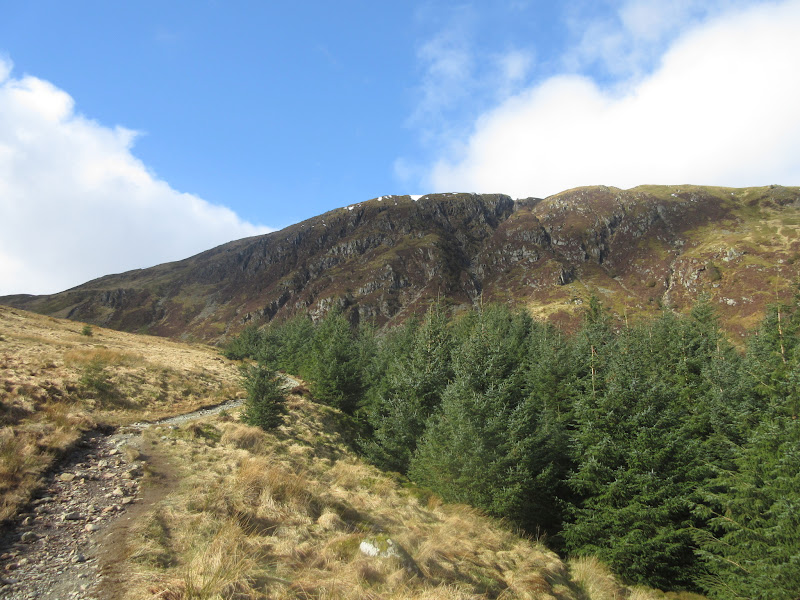
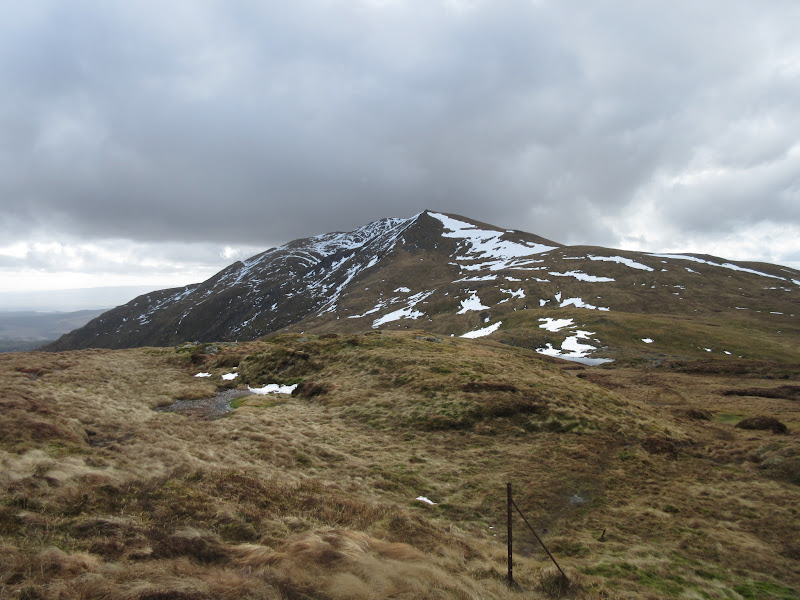
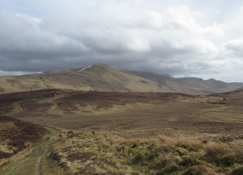
At least it was a little calmer in the glen, and the last hill of the day didn't look too bad. It had helped that I had set off at a fairly leisurely pace at the beginning of the walk, so I still felt reasonably fresh at this point. A footpath behind the houses at Immeroin soon became vague, but once I was over the boundary wall it was just a case of striking straight up the hillside towards the summit. The going was on short grass for the first half, then heather. However even the heather wasn't too thick, and I was on the ridgeline in less time than expected.
Beinn an t-Sithein – the final hurdle:
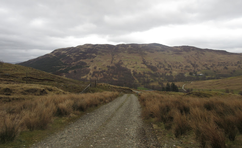
Back to Beinn Stacath and Creag Mhor from the ascent of Beinn an t-Sithein:

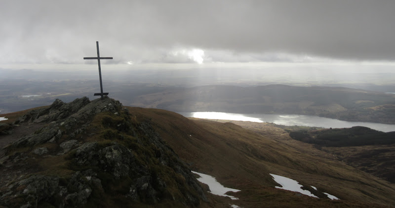
Turning right took me to the summit cairn in a couple of minutes. The wind was even more unbearable than ever up here, this time flicking the odd spit of sleet at me. I followed the trodden path southwards to An Sithein, a small outcrop at the southern end of the summit ridge. Getting up this was quite awkward, and I was almost blown over a couple of times. In the event, the main route down doesn't even go over this, and despite having a good view down Loch Lubnaig, the view from the path slightly lower down is just as good.
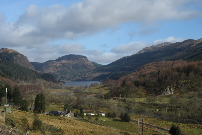
Strathyre from the summit:
Loch Lubnaig from An Sidhean:
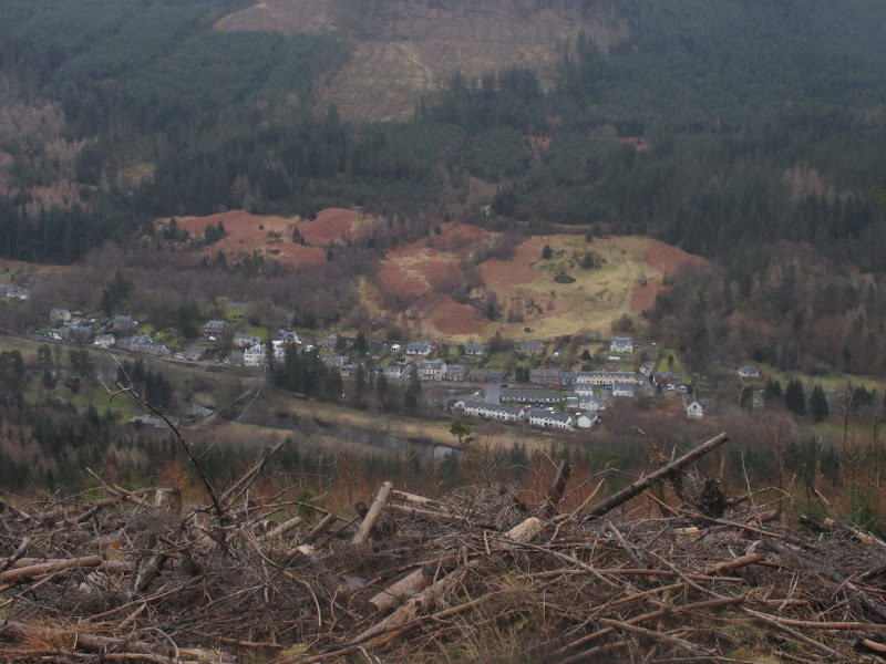
Soon I was in the trees, and the path was a little indistinct for a short way. Before long I picked up a made forestry track which led the rest of the way down to the village. I'm sure I recall a couple of reports that say this path has been obliterated by felling, but it appears to have been restored, and gave me a steep but easy end to the day.
Strathyre village:
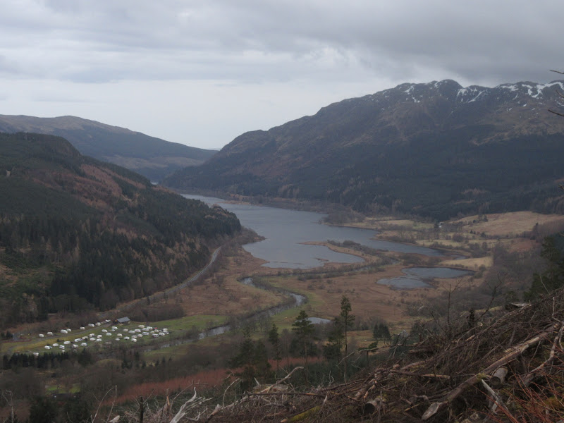
Last look down Loch Lubnaig:
A good route, although perhaps not as good as I first imagined it to be - if you were to do the higher hills as two separate walks, then you'd miss out the featureless, slightly boggy bit in the middle. Less wind would also have improved matters (might have taken longer as stopping would have been more pleasant).
Then the long drive home, with chips in Killin. I finally got back to the house at 9:30pm, glad to have fitted a decent walk in on what promised to be an Easter weekend of rather poor weather.
