free to be able to rate and comment on reports (as well as access 1:25000 mapping).
Grahams: Beinn Suidhe, Meall Garbh, Beinn nan Lus.
Date: 09/04/2016.
Distance: 28km (walking), 10km (cycling).
Ascent: 1820m (walking), 100m (cycling).
Time taken: 10 hours.
Weather: Sunny, fairly still. Lots of wintery showers going elsewhere.
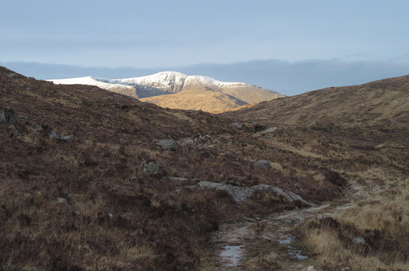
A surprise decent weather forecast in the southwest and central Highlands had me looking at the maps on Friday evening for a day out. Even on Saturday morning I couldn't decide whether to head for a couple of Corbetts around Loch Tay or the Grahams around Glen Kinglass. Kinglass won out eventually as it looked more interesting, even though my preference here had been for a couple of days out with the tent. Could've done with leaving earlier though - by the time I was unpacking my bike, it was 11:30am.
I set off at the same time as a guy heading for Stob Gabhar. The sun was out and the clag was clearing from the high hills, in contrast to Inverness, where it was peeing down. I had a suspicion that I was probably following a similar route to the one
Bagger had taken a few years ago. Turns out it was almost identical, albeit in reverse.
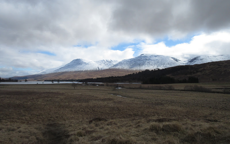
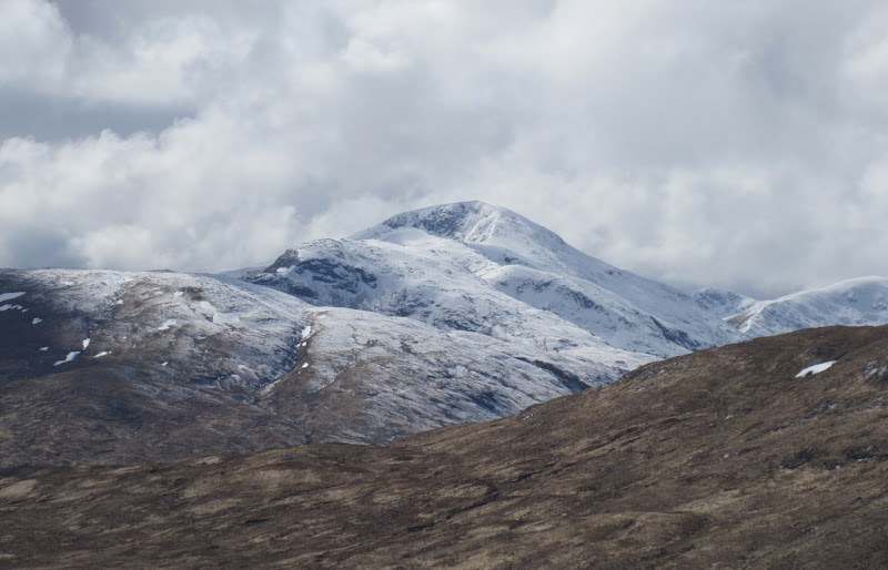
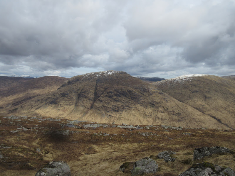
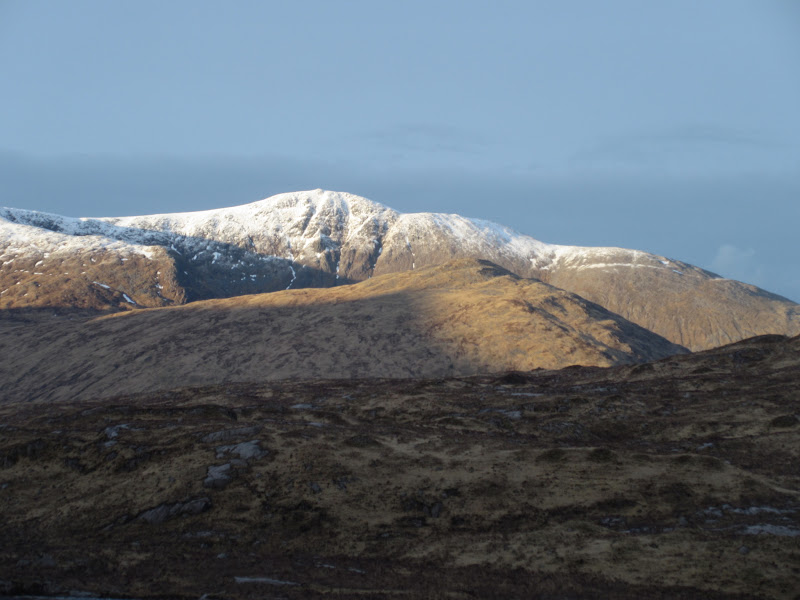
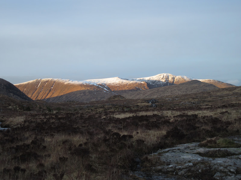
Beinn a’ Chreachain and Beinn an Dhothaidh across Loch Tulla:
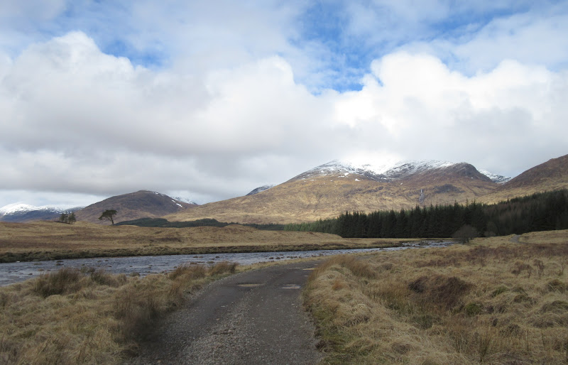
Stob Gabhar along Glen Shira:
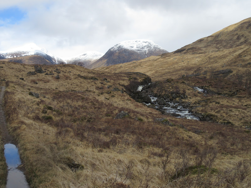
I had hoped to cycle all the way to Loch Dochard, but after passing Clashgour farm, I hit a fairly deep ford on the Shira. The alternative was a slightly boggy trog through the conifers to reach a footbridge. Since I was only cycling a short distance on the far side of the river, I decided it wasn't worth the hassle of taking the bike over, and opted for the drier footbridge route after locking it up.
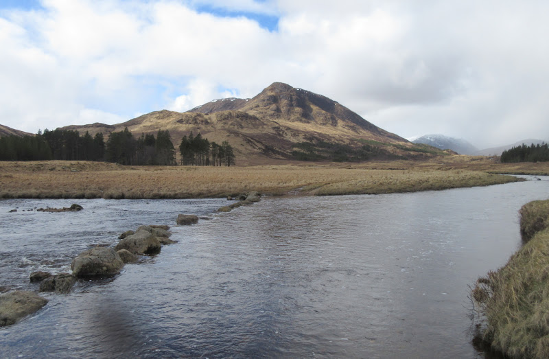
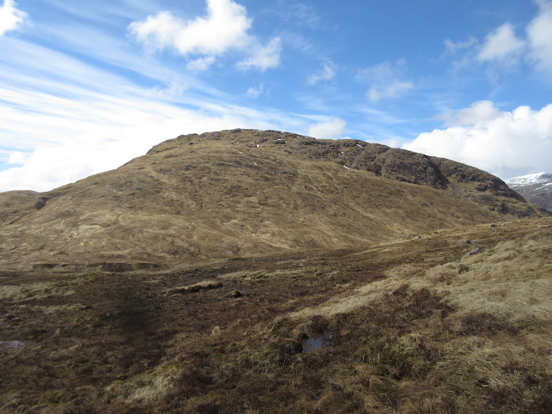
Abhainn Shira crossing and Beinn Suidhe:
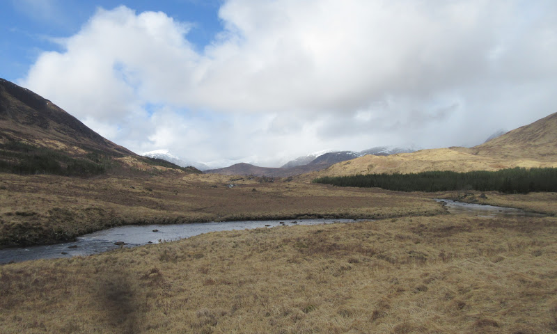
West along Glen Shira:
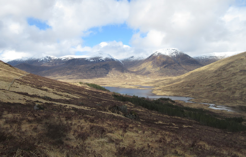
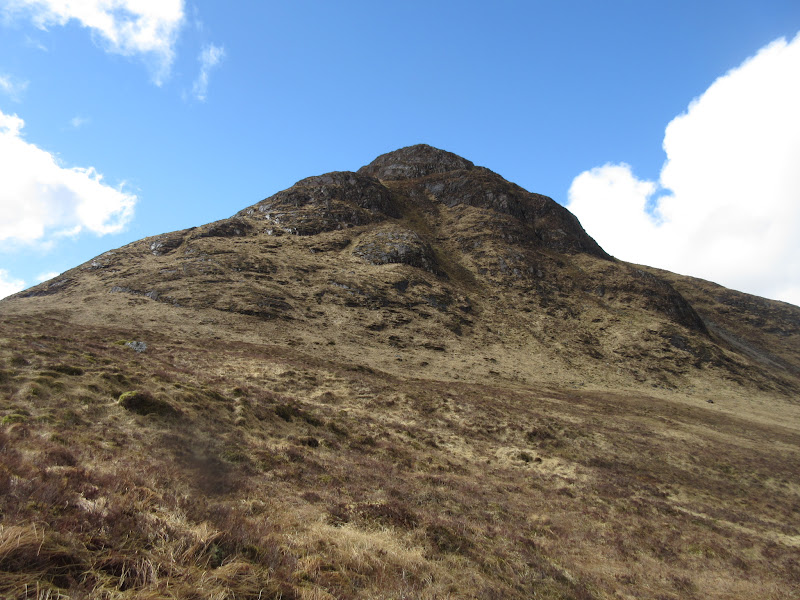
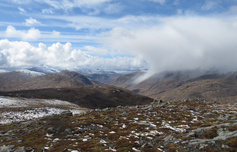
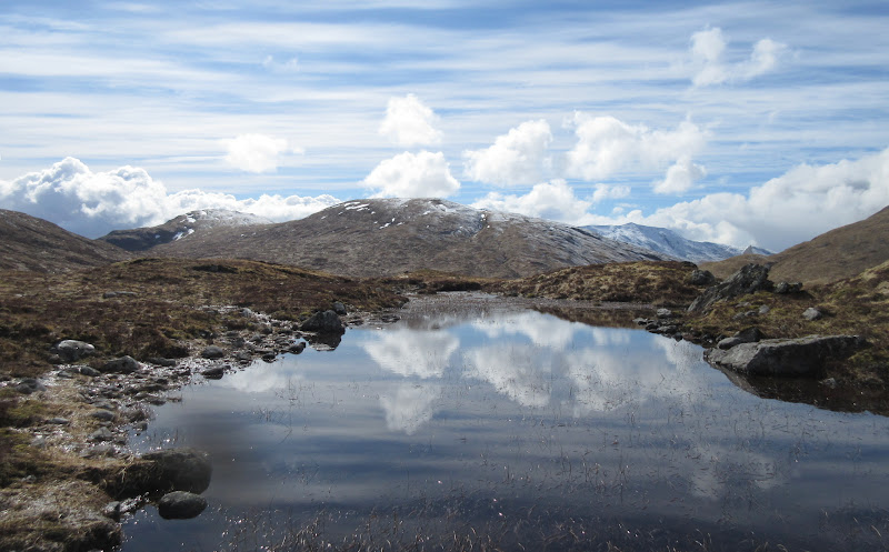
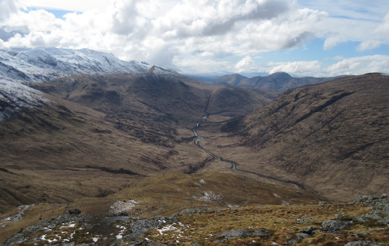
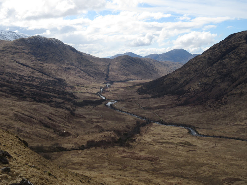
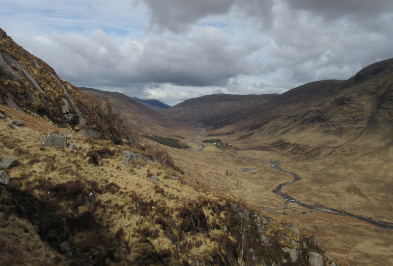
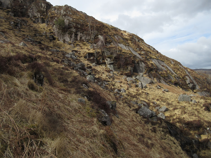
I resisted the urge to follow the edge of the deer fence up onto Beinn Suidhe, and carried on following the track most of the way to Loch Dochard. At the ideal spot to get on the NE ridge of Beinn Suidhe, there was a gate in the deer fence and a rough track heading my way - perfect (although the gates were locked and had to be climbed). It didn't take much height gain to get a spectacular view over Loch Dochard to the back of the southern Glen Etive hills.
Stob Coire Albannaich and Meall nan Eun:
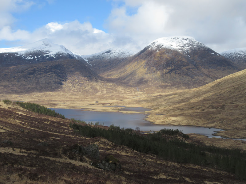
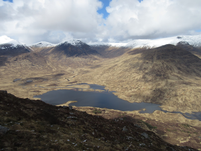
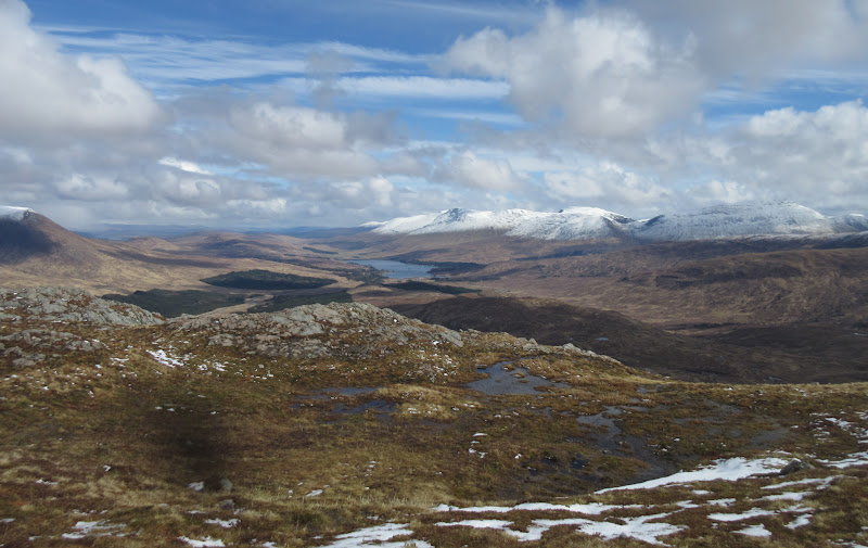
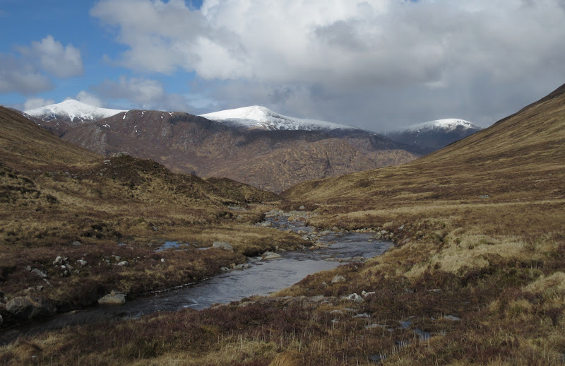
Loch Dochard:
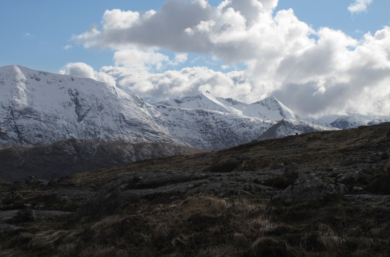
Ben Starav and Glas Bheinn Mhor:
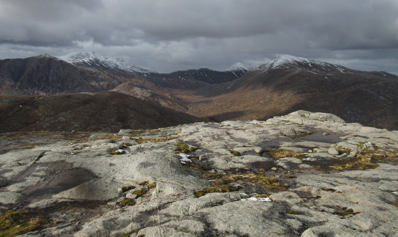
Loch Dochard with Stob Coire Albannaich and Meall nan Eun behind:
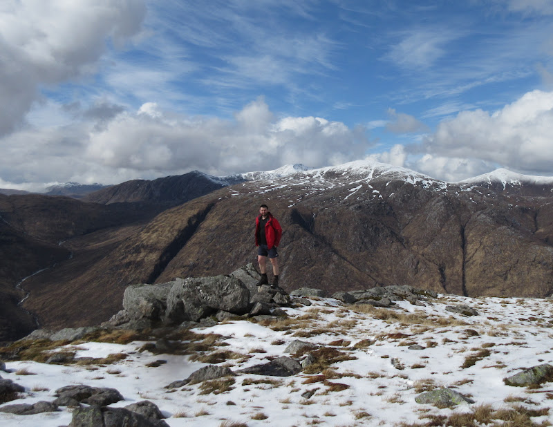
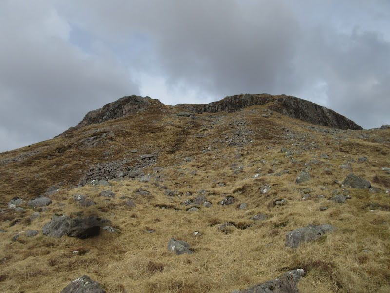
The way up was steep but easy enough (with no real scrambling) and I was on the northern summit before long. It was an easy stroll over to the main top, where I was going to stop for lunch. A couple of spots of hail/sleet from the edge of an incoming shower made me change my mind and carry on for now.
Beinn Suidhe NE ridge:
Looking East to Loch Tulla from Beinn Suidhe:
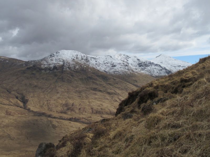
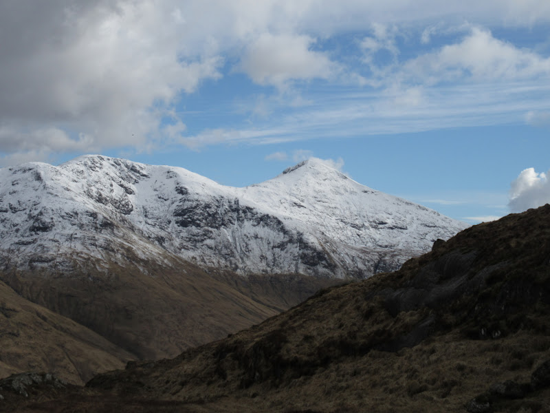
Ben Lui:

Stob Gabhar:
Loch Dochard from Beinn Suidhe:
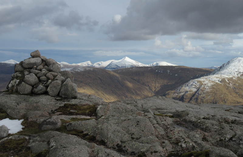
Summit of Beinn Suidhe:
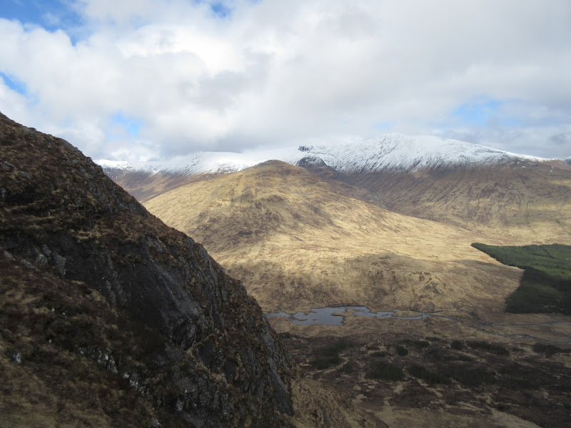
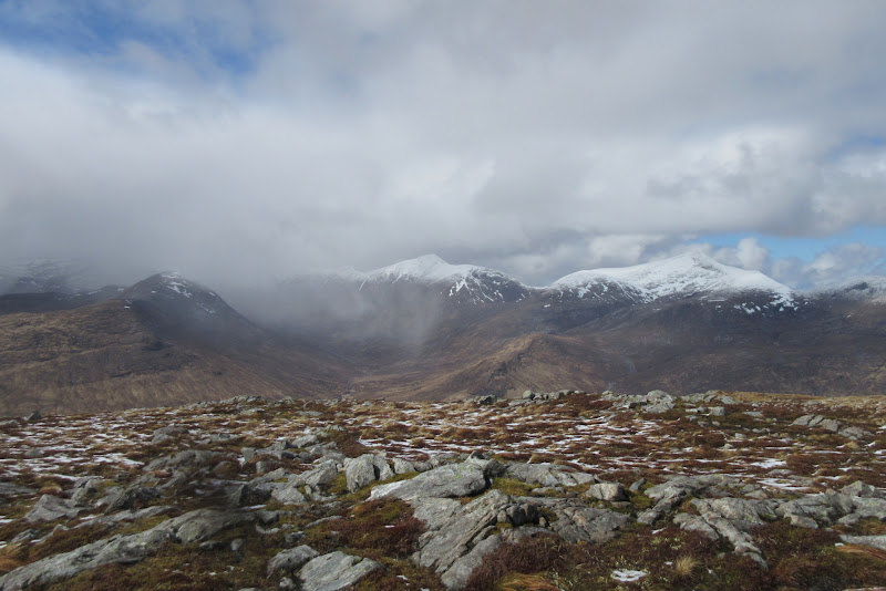
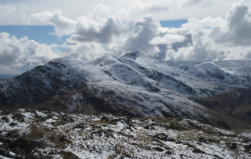
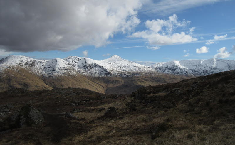
Beinn nan Aighenan, Ben Starav and Glas Bheinn Mhor:
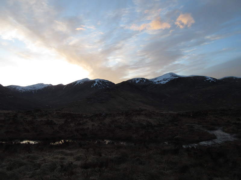
Loch Tulla and Bridge of Orchy hills:
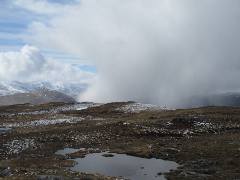
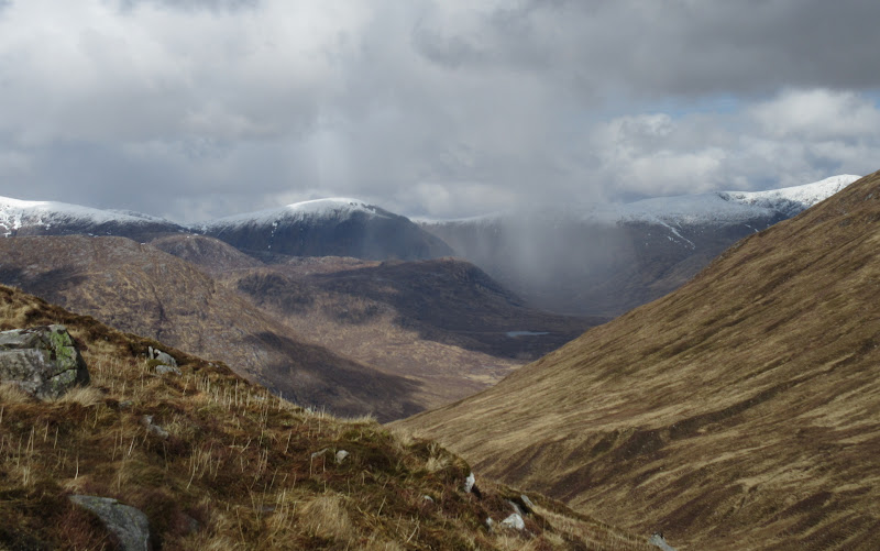
Snow shower:
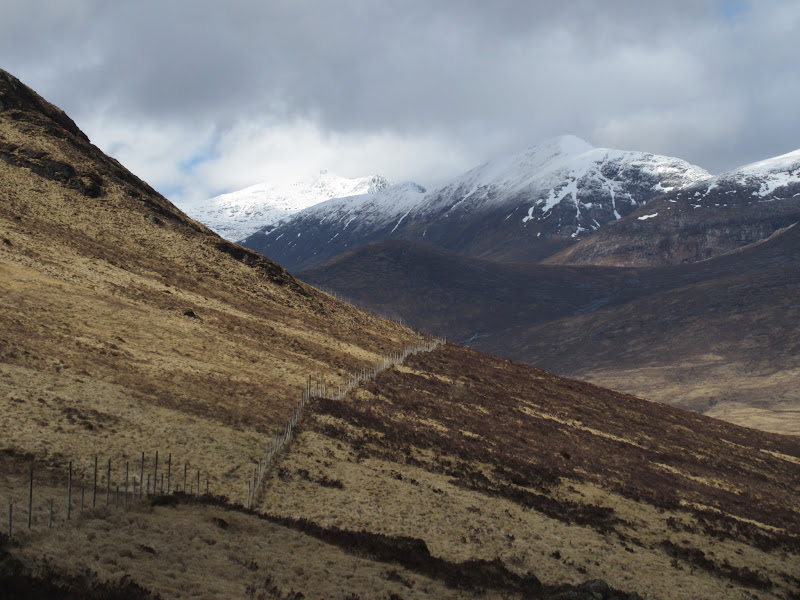
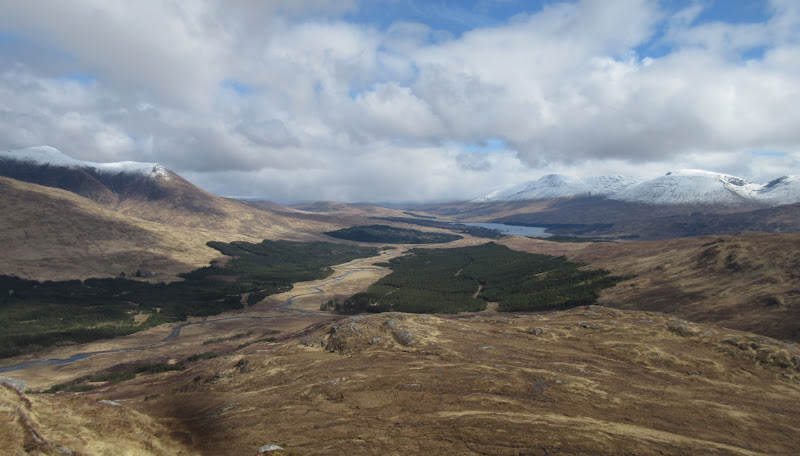
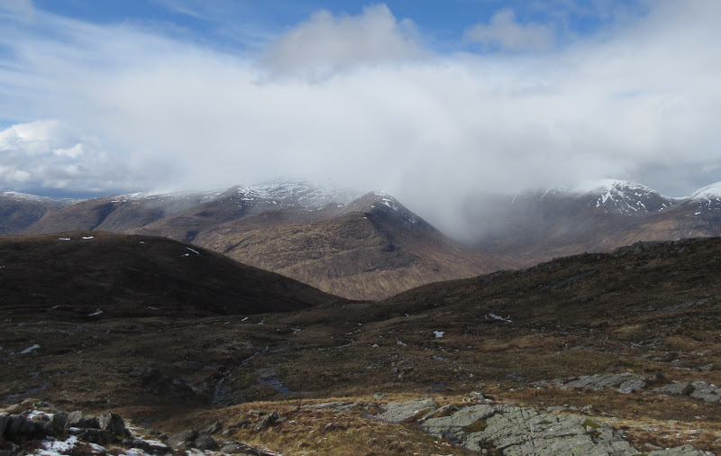
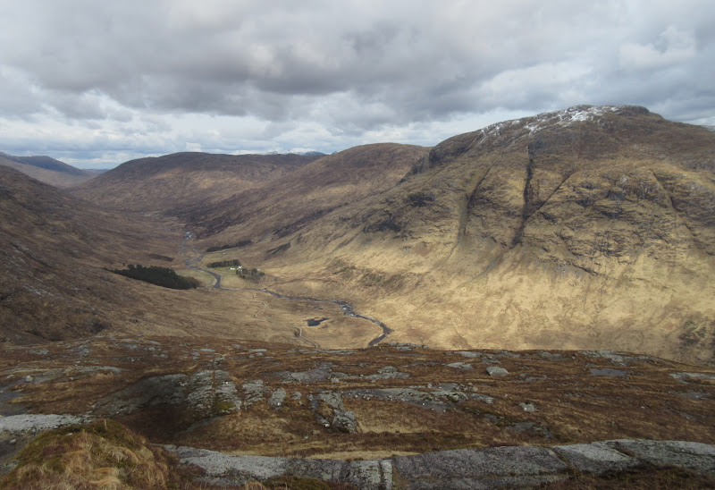
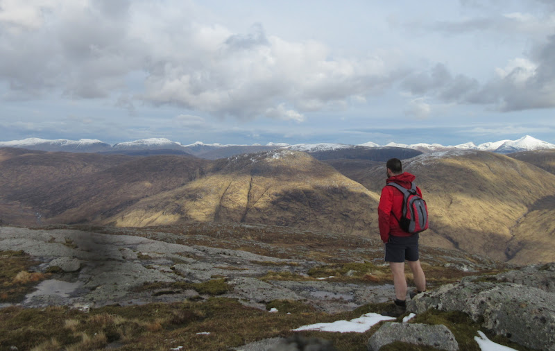
Beinn Suidhe sprawls to the south and the descent to the col between it and Meall Buidhe is pretty shallow. Although the hills over Ben Starav way were most impressive, I was also drawn to the string of summits along the NE ridge of Beinn Eunaich - looked like a fine ridge, particularly with snow on it.
Towards Ben Cruachan:
Starav being hit by snow shower:
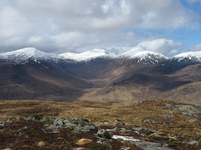
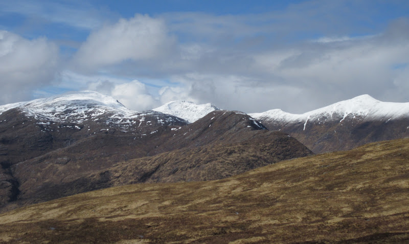
Ben Mor and Stob Bhinnein:

Beinn nan Aighenan and Ben Starav:
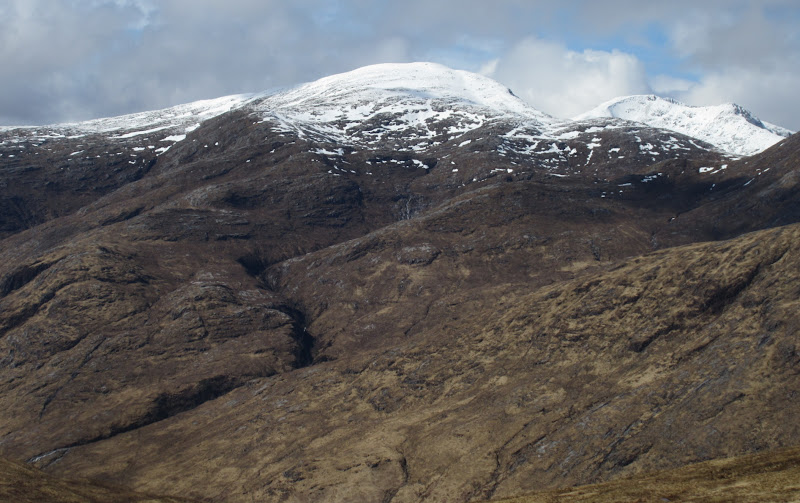
Beinn Eunaich:
Beinn nan Aighenan:
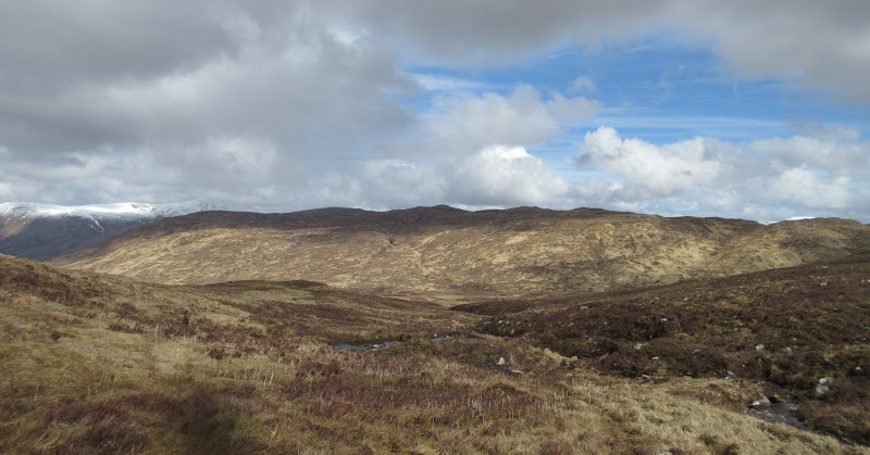
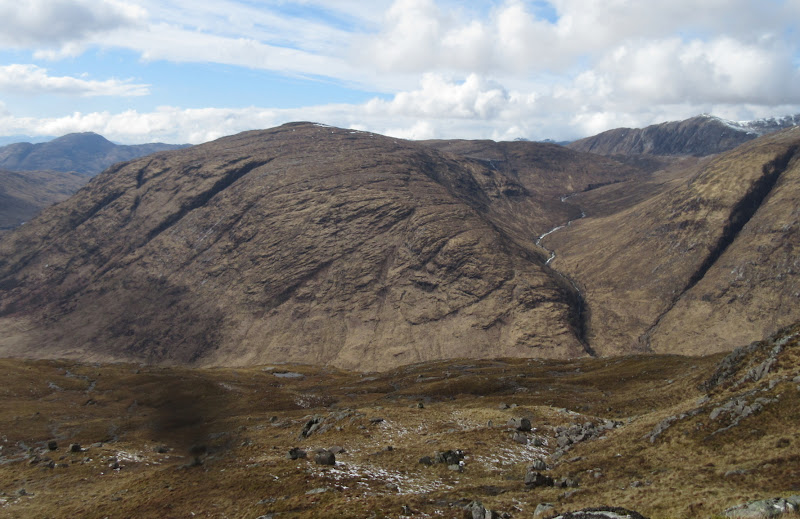
The next section was a fairly featureless wander up next to a small burn, before crossing over another col and dropping down towards Meall Garbh. Meall Garbh looked quite bumpy from this angle, but less rocky than expected.
Back to Beinn Suidhe from the Meall Buidhe col – much less interesting from this direction:
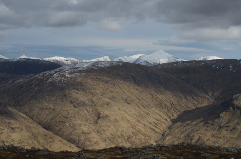
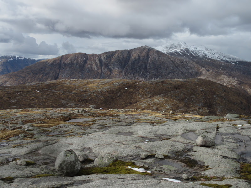
Meall a’ Beithe with Beinn a’ Chochuill beyond:
Meall Gharbh:
Beinn nan Aighenan from the Allt nan Clach Sgoilte:
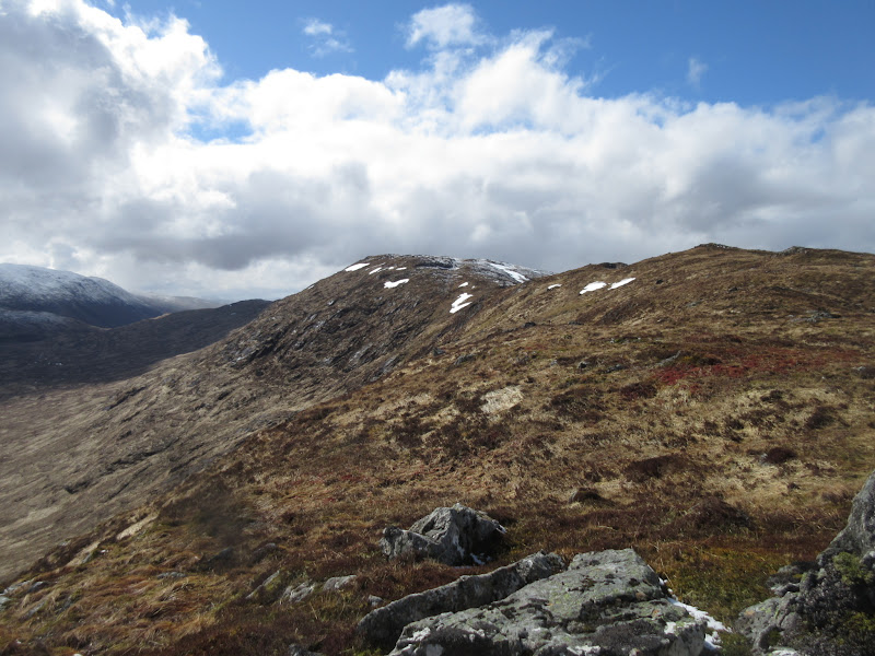
A fairly steep 20 minutes took me up to the summit of Meall Garbh, the cairn appearing pleasingly as soon as the angle eased. Beinn Suidhe had been a good viewpoint, but despite being hemmed in on most sides, I liked this summit even more. For me, this and Beinn nan Lus represent the last two large hills I haven't been up which are remote from the nearest roadend, and there was a great sense of being in the middle of a chunk of unfrequented land. Of course this is an illusion as Glenkinglass Lodge sits barely a mile away at the foot of the hill, but you can't see it from the top!
More showers:
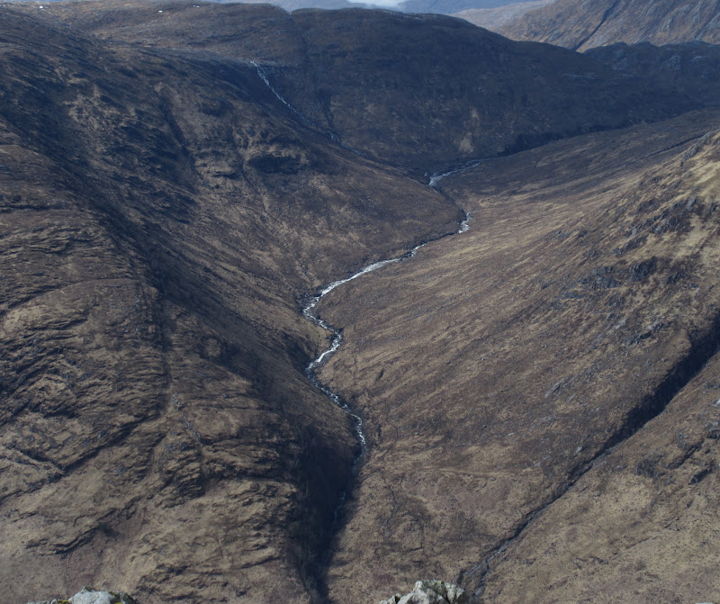
Coire Hallater:
Summit of Meall Garbh:
It was relatively mild in the sun and there was only the smallest hint of a breeze, so the top made the perfect late lunch stop. The descent down the east ridge was steep, and there were a couple of places where I had to search around for a gap through broken crags.
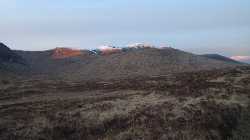
Meall Copagach to Beinn Eunaich ridge:
Beinn a’ Chochuill and Glen Kinglass:
Beinn nan Lus from Meall Garbh:
Back up the west ridge of Meall Garbh:
Glen Kinglass with Beinn Duirinnis and Beinn Mheadhonach in the background:
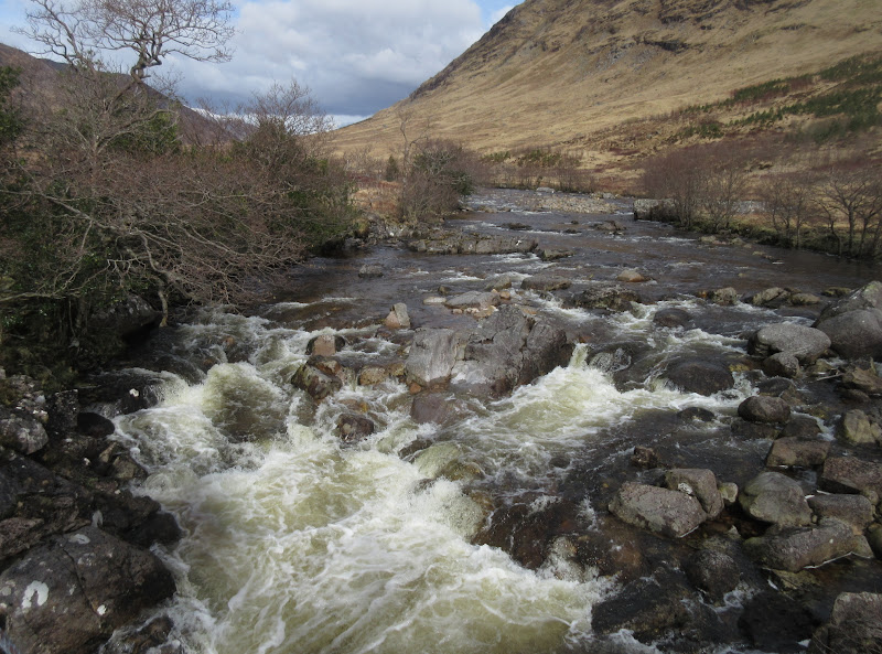
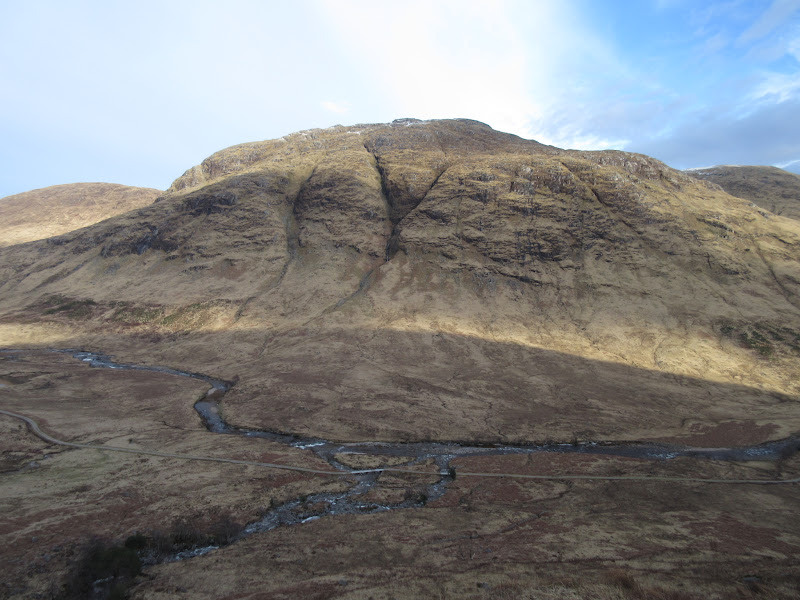
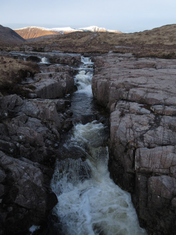
I diverted north off the ridge low down to get to a bridge over the Kinglass. This isn't a river that you would want to wade at this point, so I was glad to have done a little research to check where the bridges were.
River Kinglass:
Once over the bridge and estate track, it was straight back up the other side of the glen onto the shapeless plateau of Beinn nan Lus. This hill was briefly plucked from obscurity a year ago when a
light aircraft crashed on it, sadly killing both occupants.
Beinn Eunaich from the route up Beinn nan Lus:
East up Glen Kinglass:
Rather than get on the ridge at the end, I had opted to follow a steep burn which ended in a gully of sorts. This was much easier going than expected, helped by the lack of new bracken. Once on the ill-defined ridge, there was the odd up-and-down around outcrops to the summit.
Heading up Beinn nan Lus:
Beinn Eunaich:
Meall Garbh:
Beinn a’ Chochuill and Ben Cruachan:
Beinn Eunaich and Beinn a’ Chochuill:
Ben Lui:
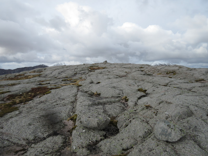
Shapeless plateau it may be, but the summit is a perfect pavement of pink granite slabs, rivaling Craignaw in the Southern Uplands and Beinn a' Chearcaill in Torridon for table-like smoothness. Again the views are limited by the higher hills, but there is a glimpse of Loch Etive and Mull to the west, and the backsides of Cruachan and Starav give more than enough to look at.
Ben Starav from Beinn nan Lus:
Loch Etive with Mull beyond:
Summit slabs:
Looking SE:
I didn't even have a proper sitting-down stop here, but still managed to dawdle away 15 minutes looking around. I was aware that it was getting on a bit (gone 5:45pm) and I was about as far from the car as I could be on this walk. The ideal situation would have been a return over Beinn nan Aighenan, something I had been thinking about earlier. However this was now out of the question. Even wandering over to the lower western top (which I'm sure would have had a superior view down Glen Kinglass) or doing a short circuit north to drop into Coire Hallater via some waterfalls was probably a step too far, so with some regret, I turned around and headed back the way I'd come.
My original plans for this trio of Grahams were to bring the tent along and follow my route to Beinn nan Lus, before camping somewhere near the summit and going back over Ben Starav and some of the other Munros the following day. Turns out this might have been a great weekend weather-wise to do that, but I only had the one day available. At least when I'm back in the area to do something similar, I can concentrate on the north side of the glen without feeling the need to work in the first two Grahams.
Coire Hallater:
Meall Garbh across Glen Kinglass:
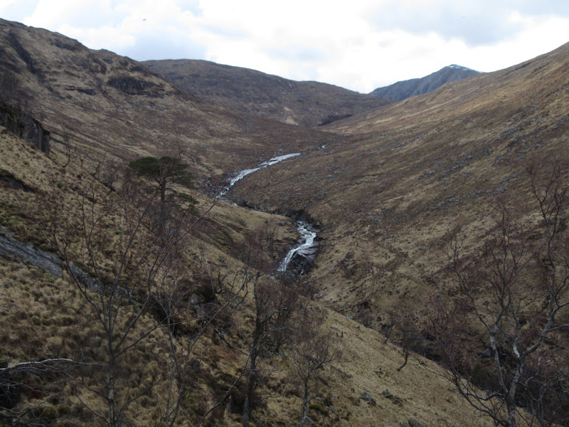
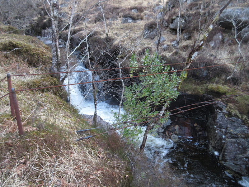
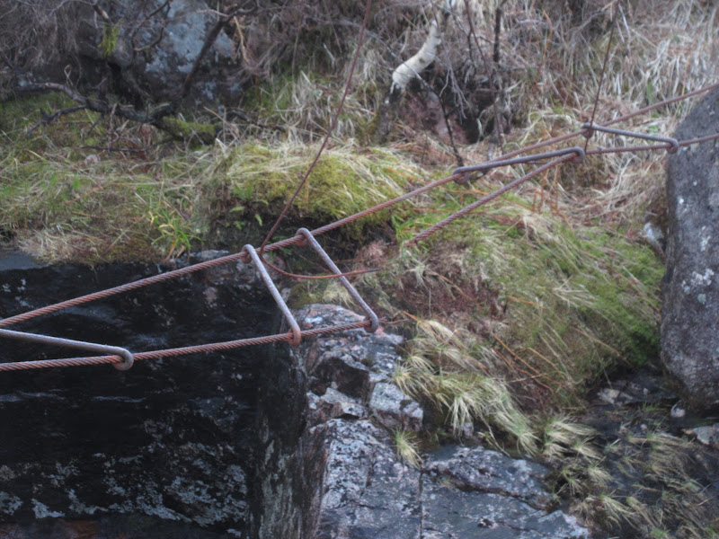
Dropping straight down the ridge rather than following the burn I had come up, I was able to get a slightly better look at some of the impressive gorges in Coire Hallater. Low down, I spied an old wire bridge that might shorten my walk by a couple of mintues by taking off a small corner. I put both feet on the end of it, feeling a bit cautious, when there was a loud twang and the bottom cables went slack. They were so corroded I had managed to break them! I was pretty relieved that it had happened before I got out into the middle, as I would have been over a rather threatening looking plunge-pool.
Dodgy bridge before I stood on it…
…and after:
I made my way more sensibly down to the estate road and the bridge on it, then turned to face home. It would be a fairly long walk-out, but I was looking forward to passing through the upper reaches of Glen Kinglass. I had only been near here once before, when walking into Beinn nan Aighenan from Victoria Bridge about 12 years ago. The weather had been much poorer then, so I hadn't seen a great deal.
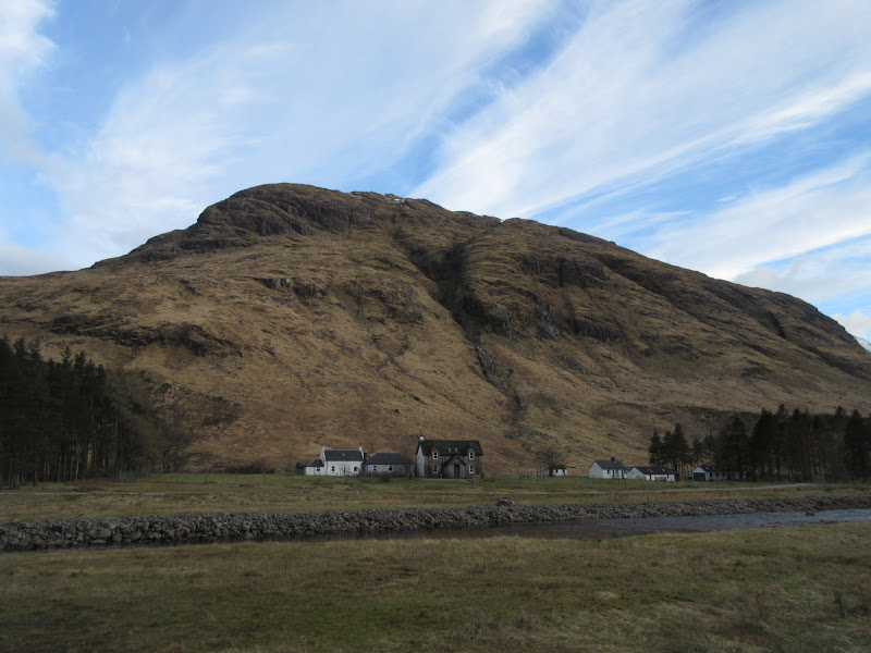
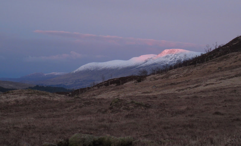
Meall Garbh above Glenkinglass Lodge:
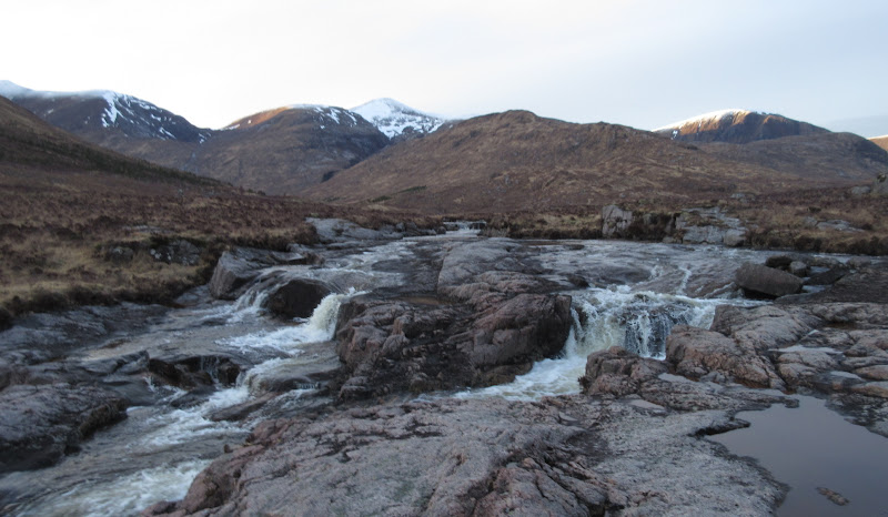
The track was almost of road standard as far as the lodge, then poorer afterwards, but probably more pleasant to walk on. In places it went over massive slabs of granite, which also made up waterfalls in the river. Approaching a newish suspension bridge, I passed a group of 3 guys coming the other way with camping gear - the first folk I had seen since a couple back at Clashgour.
Meall Garbh and Beinn a Chocuill:
Stob Gabhar from Glen Kinglass:

High up the glen, I spotted a newish looking vehicle bridge on my right. I wasn't quite at the point where the path crosses the Kinglass, but I had my doubts about the bridge there. Back in 2004, it had been on its last legs and we had had to squeeze past 'Dangerous Bridge' signs and wire netting to get onto it. What would it be like now? I decided to cross the new bridge and squelch up the southern bank of the river to be on the safe side. Turned out to be a good move - all that was left of the old bridge was a couple of bolts in a slab in the river bank. I must be getting soft - usually I like nothing better than a thigh-deep wade through ice-cold water

.
River Kinglass from new bridge:
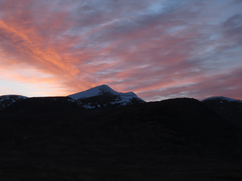
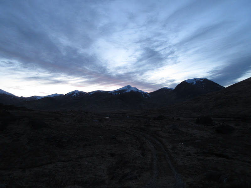
Soon it was time to say goodbye to Cruachan and Beinn a' Chochuill in the west and focus attention on Stob Gabhar, which was picking up the last sunshine of the day. By the time I'd climbed up onto the watershed between Glen Kinglass and Loch Dochard, the light was going, and so were the opportunities for decent photos. Fortunately there were some nice colours and cloud formations in the sky.
Stob Gabhar still holding attention:
Beinn a’ Chochuill:

Starav and Albannaich:
Stob Gabhar again:
Beinn Achaladair:
Stob Coire Albannaich:
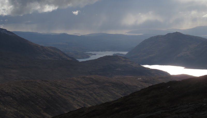
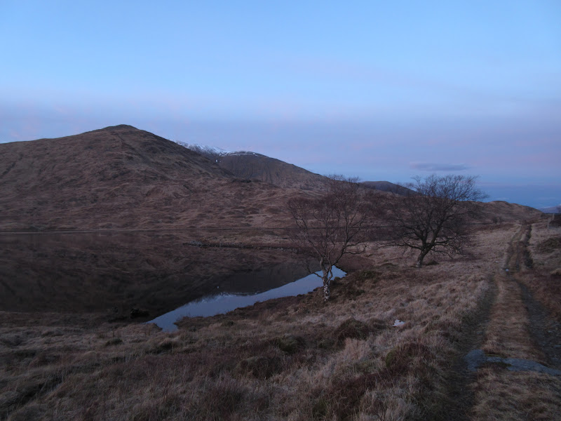
Before long I was down by the shores of Loch Dochard, where it was calm and quiet, and again I wished I had my tent with me - this would have been the perfect pre-midge evening to camp by the loch.
Loch Dochard in the last light…
…with Sob Coire Albannaich and Meall nan Eun behind:
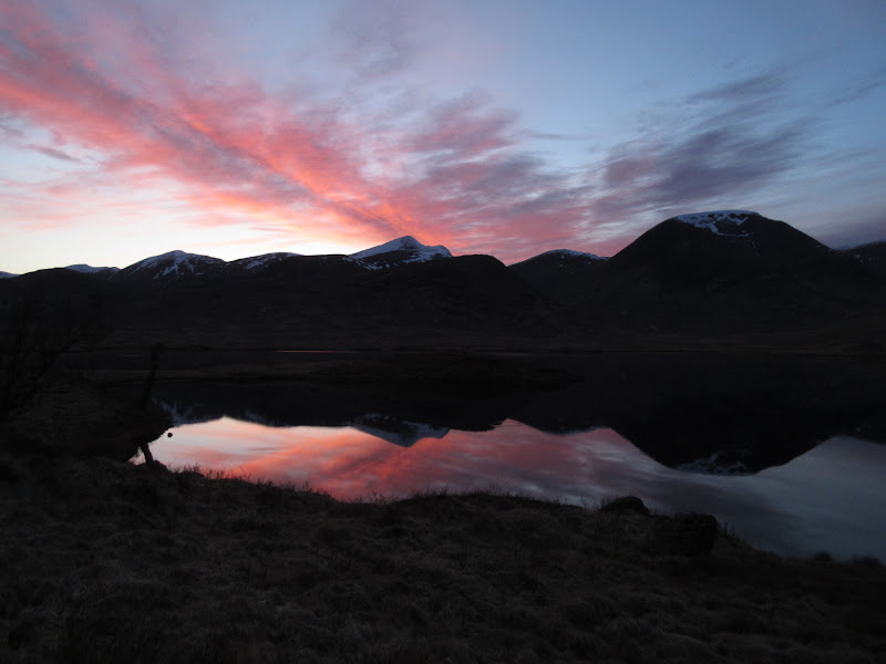
Last look:
I finally reached the bike just as the light was giving out completely. I was quite a bit later than I had intended - it was now 9pm. Just to slow things right down. the rear derailleur fell off my bike and tangled in the rear wheel with the chain. I should have expected this and replaced it as it had given me problems before, but I hadn't bothered. Luckily I had my chain tool in my bag, otherwise I would've had to walk out while lifting the back wheel off the track. Instead I was able to whip off the chain and at least freewheel the downhill bits (which was quite a bit of it after the short uphill above Clashgour)
I arrived at the car a good couple of hours later than planned (late start plus I'd forgotten to add the hour or so of cycling into the time I thought I'd take

- never mind the bike mishaps). Thinking about it, I've only walked from Victoria Bridge twice before - once to Beinn nan Aighenan, and once to go up Stob Gabhar in about 1996. Clearly I need to do more from there, as the area to the south of Glen Etive is really interesting, and the closest thing to Fisherfield (in terms of rock architecture and remoteness) that there is on the south side of the Great Glen.
