free to be able to rate and comment on reports (as well as access 1:25000 mapping).
Corbetts: Sgurr a'Choire-bheithe, Sgurr nan Eugallt
Grahams: Meall nan Eun, Slat Bheinn
Date walked: 05/06/2010
Distance: 31km
Ascent: 2500m
Time: 10 hours
Weather: Warm, sunny and a little hazy
Most of my walks so far this year have been short to medium, so I thought it was time to push the boat a bit for a change. One of my longer plans was in Knoydart, and having read a whole pile of Knoydart reports from the bank holiday weekend, I was inspired to get back out there. Indeed, although I'd been looking at this route for a few months now, at least 75% of it was covered in Curlywurly and Magicdin's recent reports, so there is very little new ground here. For me, Knoydart is only 'just down the road,' but with so many other closer places to go, I don't usually feel like I can justify the drive unless I am going for a multi-day trip. I made an exception this time though, as the weather looked as close as possible to perfect.
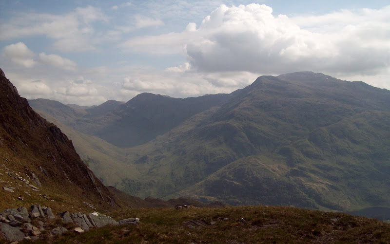
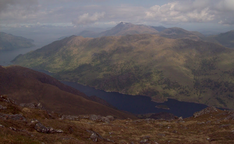
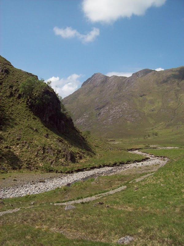
Parked up just beyond the point where the road leaves Loch Quoich, and started walking towards Kinloch Hourn along the road. I was sorely tempted by the long ridge running southeast from the summit of Sgurr nan Eugallt, but I knew I would have plenty of similar ridge walking later in the day, so gave it a miss this time. Picked up the good stalker's path from Coireshubh onto the NE ridge. This started up a broad gully, before winding around on the open hillside and landing on the ridge at a col. Again, the off-path route looked good (following the ridge directly) but I was happy enough giving my feet a break on the path. The final part of the ridge to the summit was lovely - steep and narrowish with the (very)occasional scrambly section, ending directly at the pencil-thin trig point.
The Sgurr nan Eugallt ridge from Loch Quoich and the Loch Hourn road:

Looking across to Sgurr an Mhaoraich:
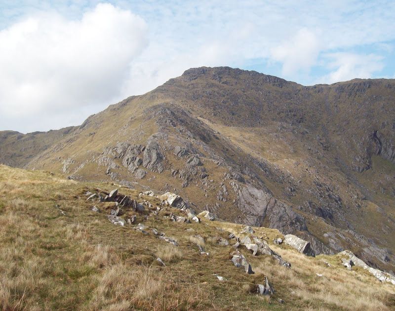
Last big pull up to Sgurr nan Eugallt:
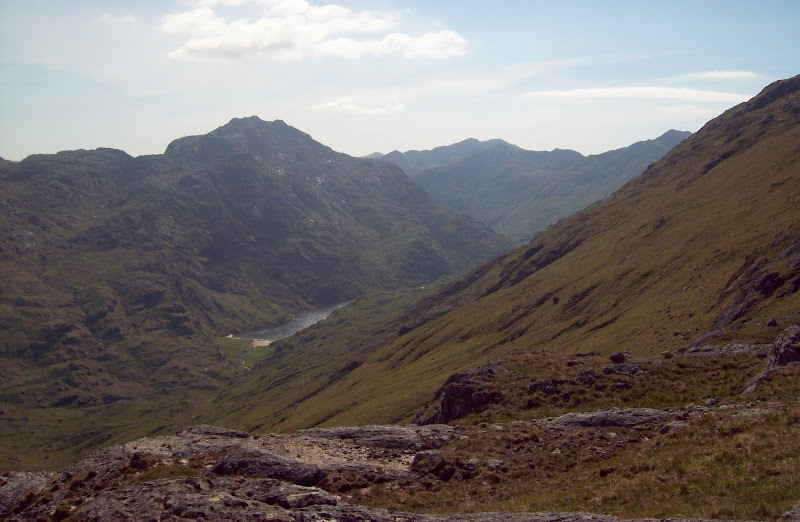
A peep down Glen Barrisdale. Ladhar Bheinn ahead:

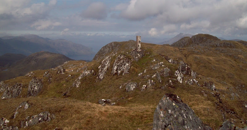
Trig point (actual summit is to right):
Ladhar Bheinn again:
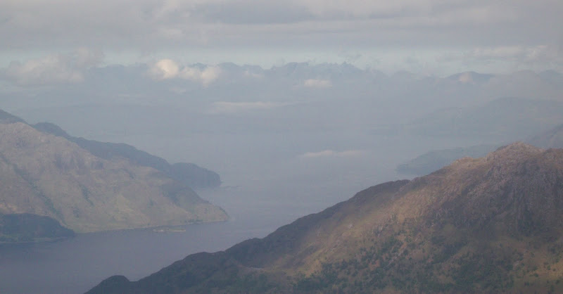
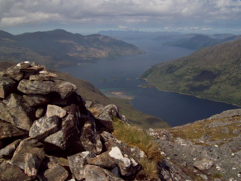
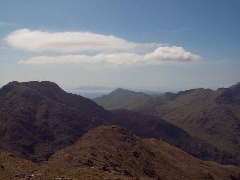
This hill has a reputation for stunning views down Loch Hourn, but to experience these properly, you really have to head along to Sgurr Sgiath Airigh, ten minutes to the NW. The best viewpoint is obvious, as someone has built a fairly substantial cairn on it. The views were stunning, although slightly marred by the haze and drifting cloud. However, low cloud around the base of the Cuillin made the whole range appear as if it was floating in the air. Gives a new meaning to Sky(e) hills...
Across to Druim Fada and Beinn Sgritheall:
Skye zoomed:
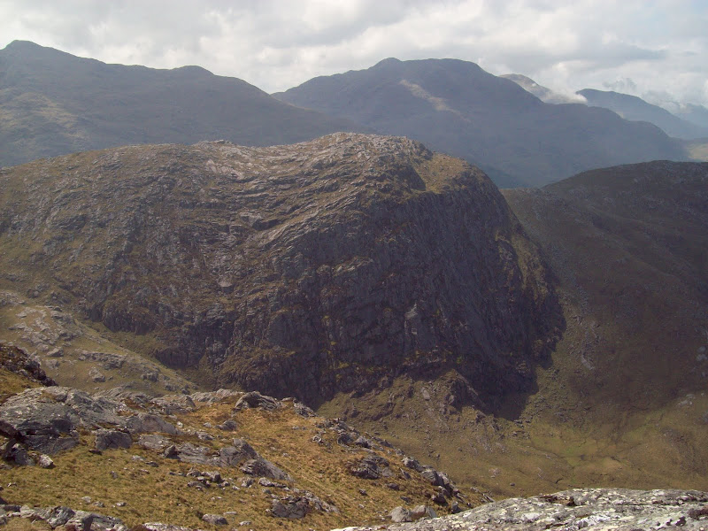
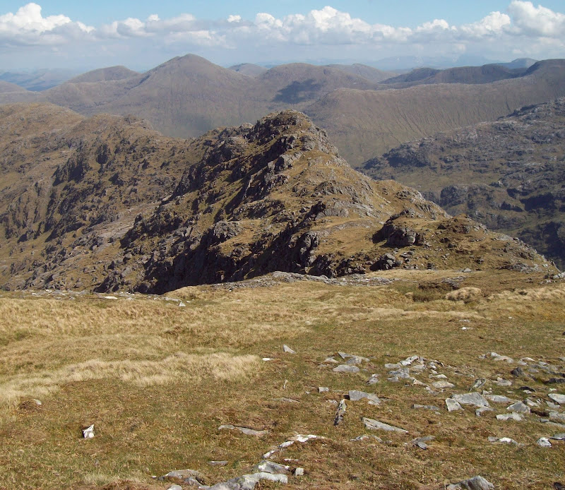
Like Curlywurly before me, I was debating whether to climb Meall nan Eun or not. Unlike Curlywurly, I had almost unlimited time. It looked like a great hill too. In fact the most interesting part was the subsidary summit of An Caisteal. This appeared to boast one of the most substantial cliffs in the area.
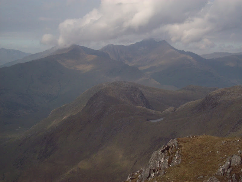
An Caisteal and Meall nan Eun, with Ladhar Bheinn lurking behind:
On the ridge to Meall nan Eun:

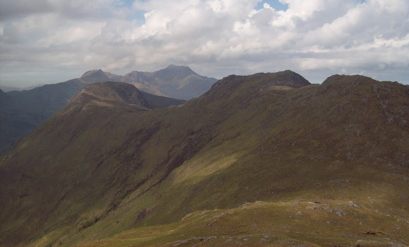
Looking to the Saddle and Sgurr na Sgine:
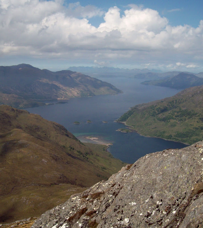
The descent towards Meall nan Eun was straightforward, and the traverse of the various lumps and bumps was rather fun, with occasional glimpses down into Loch Hourn. The west-most summit was probably an even better viewpoint than Sgurr nan Eugallt. I contoured most of the humps on the way back. It was a shame to be facing away from that view, but I knew I would be facing west again soon.
Loch Hourn and Skye:
An Caisteal close up, with Luinne Bheinn behind:
Loch Hourn again:
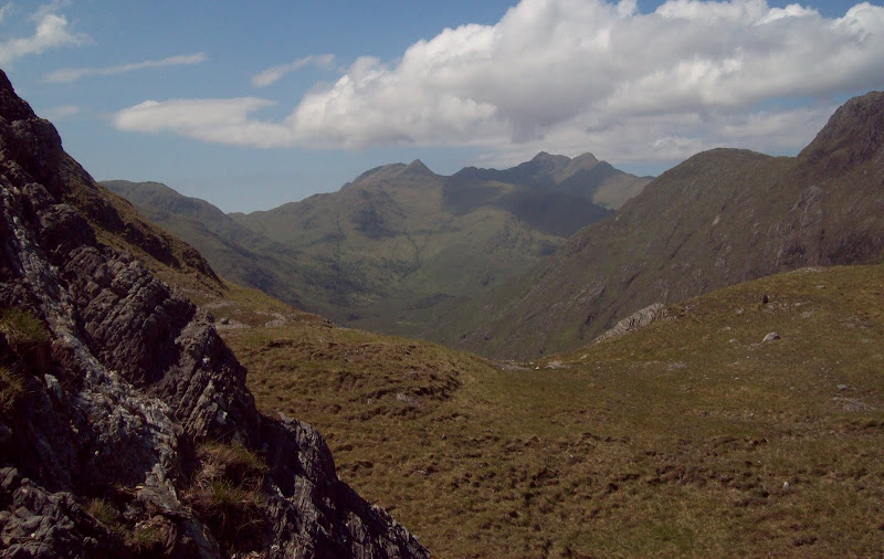
Looking down Glen Barrisdale. An Caisteal on the right:
Meall nan Eun hadn't looked like a massive diversion, but it took me a good hour from the col to the summit and back. Well worth it though. From the col, the descent into Glen Barrisdale was on steep grass, certainly easier than my original plan to descend straight from the summit of Sgurr nan Eugallt. However the floor of the glen was at a measly 150m above sea level! Filled up with water at the almost dry Barrisdale River the whole area was impressively dry - almost all of the smaller streams had stopped flowing, and even the larger rivers were very low. Quite a different to my past Knoydart experiences, which usually involve raging torrents and uncrossable streams...
An Caisteal from the floor of Glen Barrisdale:
Ladhar Bheinn from the ascent of Slat Bheinn:
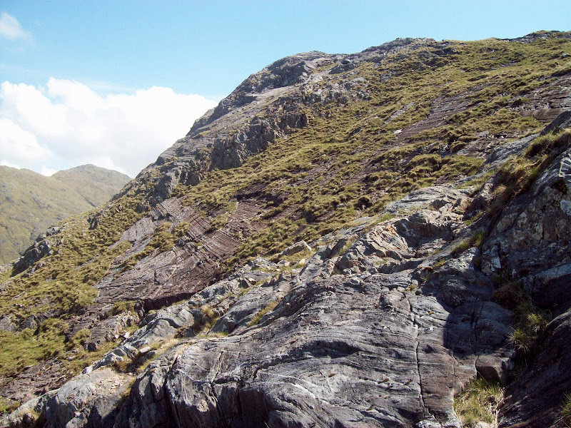
Rock strata on Slat Bheinn ascent:
Across An Caisteal and Meall nan Eun to Beinn Sgritheall:
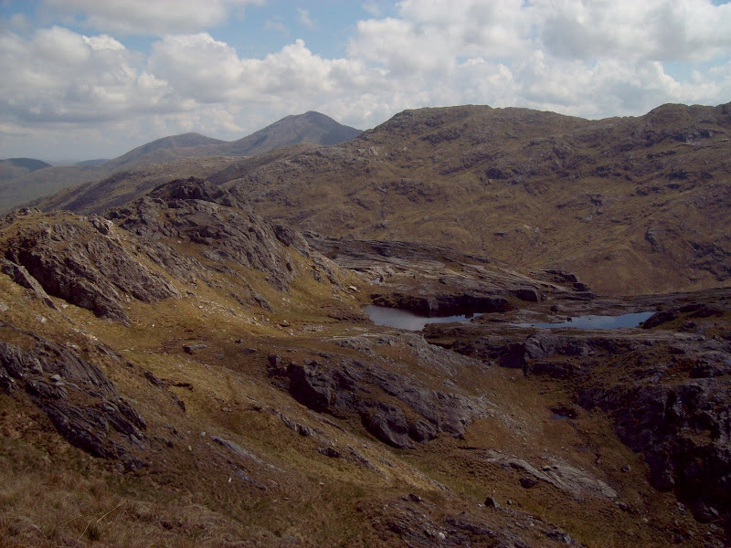
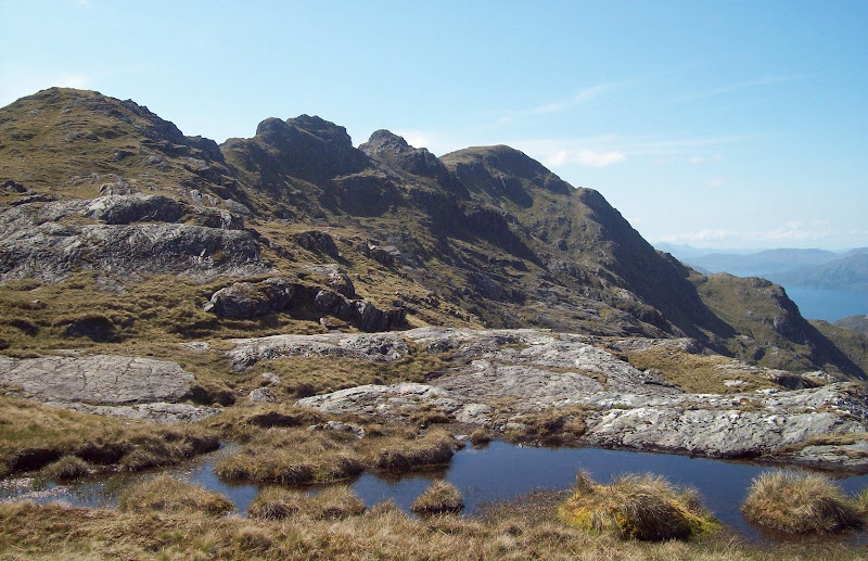
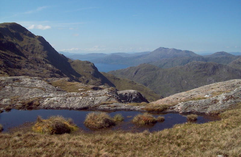
From here was my first of two 500m+ re-ascents, this one a rather soul sapping climb to Slat Bheinn. From this side the hill was rather shapeless and never ending, although there was some interesting rock strata along the way. The summit was a welcome spot for lunch, and had great views down onto Barrisdale, Loch Hourn and Ladhar Bheinn, as well as the next summit of the day. The descent was over much more interesting terrain, with massive expanses of slabs and outcrops descending all the way to the col. I made my usual stupid route choices in aiming directly for the toe of the ridge on the next hill. Before I knew it, I was surrounded by vertical drops, and escaped by descending a gully with a stream in it. Turned out easy enough, but I always worry when I do this sort of thing that I'm going to round a corner and find an unpassable chockstone!
Ladhar Bheinn from the summit of Slat Bheinn:

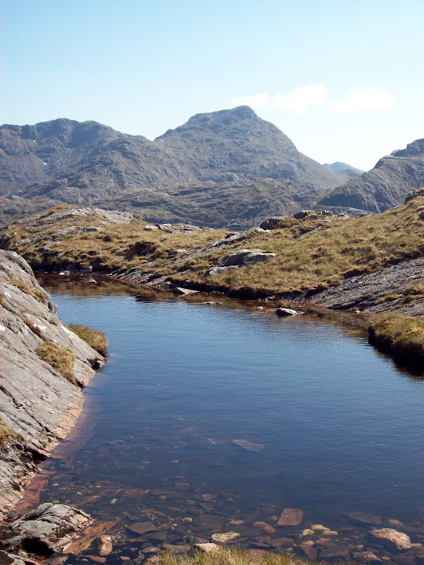
Crag and lochan on Slat Bheinn, Druim Chosaidh behind:
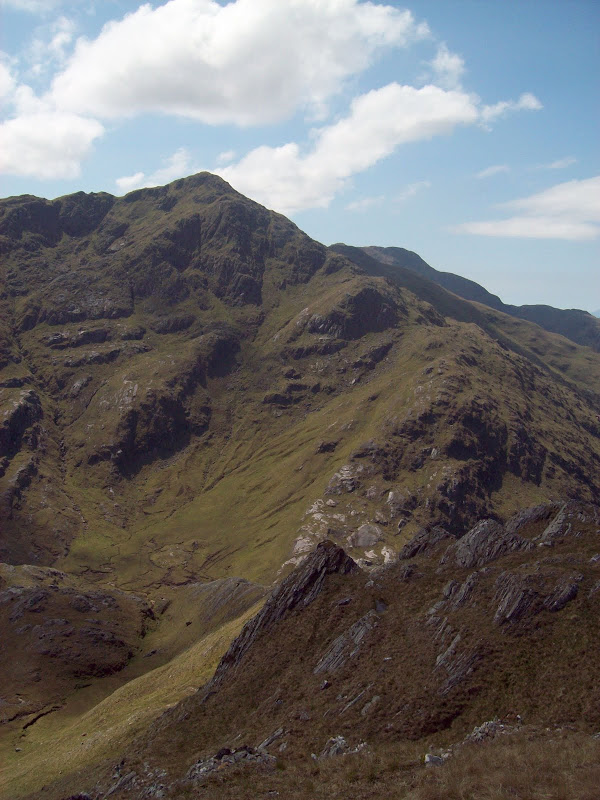
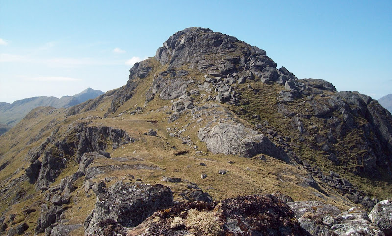
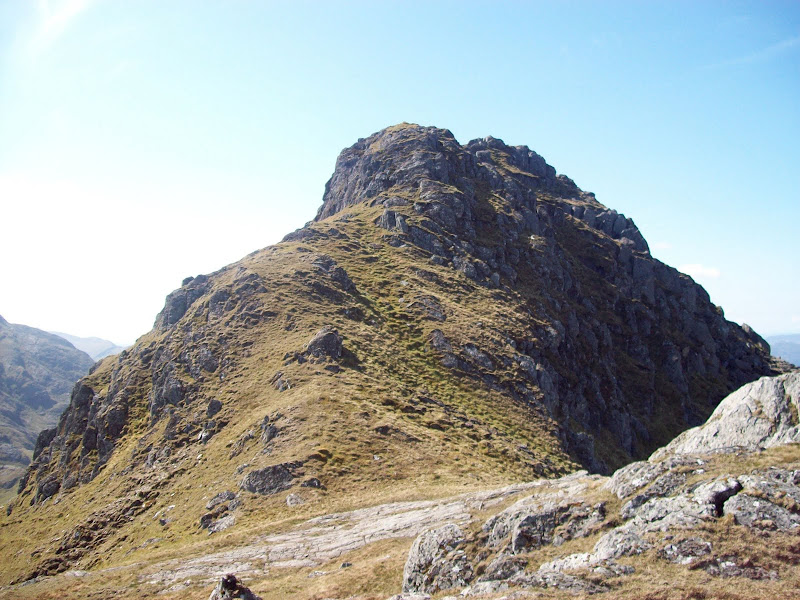
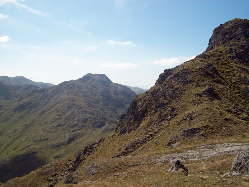
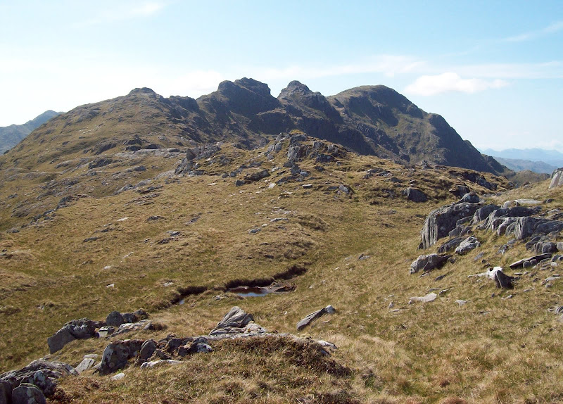
The next up - Sgurr a Choire-beithe:
Down to Ladhar Bheinn again (must've taken a photo of this approximately every 10 minutes!):
Ascending Sgurr a Choire-beithe was much better, as while steep, the summit was nearly always in view. Lower down, the walking was across large slabs, and higher up, I picked a route between outcrops. What a great summit! Here, you are truly in the middle of all the Knoydart giants, with Luinne Bheinn, Meall Buidhe, Ladhar Bheinn, Ben Aden and Sgurr na Ciche all within spitting distance. Also, a gap in the hills allows a view through to Rum, and the end of Loch Nevis is visible. I'm quite glad this hill wasn't promoted to Munro status, as it is much better for being almost pathless.
Back to Slat Bheinn:

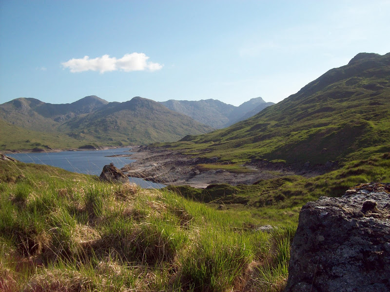
Ladhar Bheinn and Loch Quoich:

It was the only part of the walk where I met anyone else, a group of three who had got the boat in from Arnisdale and walked up the E/NE ridge from Barrisdale. While I like the solitude of the less popular hills, one of the highlights is always bumping into the occasional other person and chatting about where they have come from/where they might be going. Meeting someone else is always something of an event on the more obscure hills.
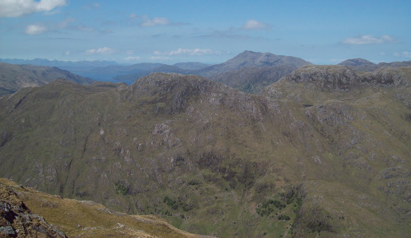
Across Luinne Bheinn and Sgurr nan Choinneachian to Rum:
I had another nice stop on the summit having done most of my ascent, but I knew my day was far from over. My planned route of return was along the extensive Druim Chosaidh, followed by the allegedly tedious shores of Loch Quoich. I had finished the last of my water on the summit, but wasn't too preturbed, as I knew I'd be able to get more at the Abhainn Chosaidh. I didn't quite appreciate how long it would take to get there though!
The way home - Druim Chosaidh:
Back to the summit:

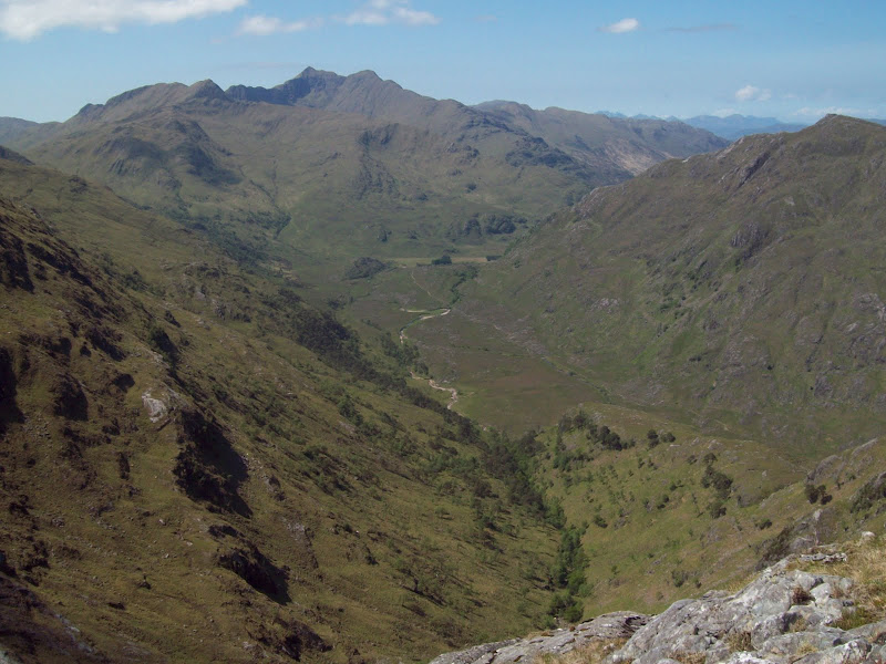
The first part of the Druim Chosaidh was a connoisseur's dream, a practically unmarked series of towers and bumps - never difficult but always entertaining. The sort of ridge that would be an overly busy classic if it were in the middle of the Arrochar Alps or similar. Even after it widened out, it was still a lovely promenade with excellent views of Sgurr na Ciche and Ben Aden. However, after 40 minutes or so, the constant re-ascents began to get a bit wearing. This probably had a lot to do with the ground I had already covered rather than the terrain itself.
Looking back to the first pinnacle:
Second pinnacle:
Luinne Bheinn:
Looking back on the craggiest bit of the ridge:
Beinn Sgritheall:
West:
Sgurr na Ciche:
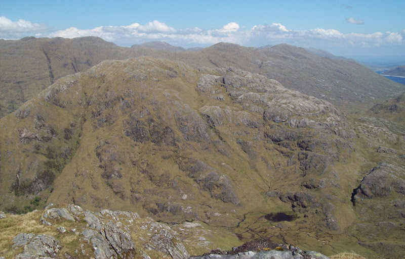
Looking back from even further along (this thing goes on for ever!):

The ridge doesn't really drop height very fast, and you can never see its entire length until you get to Meall an Spardain. By this point I had had enough, and clipped off the last tiny section to descend directly to the Abhainn Chosaidh. From the summit, this took me about 2 hours - about twice as long as I was expecting.
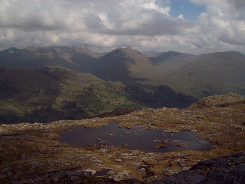
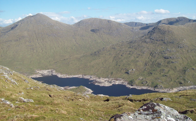
Change of scene - across Loch Quoich to Sgurr Mor:
Ben Aden:
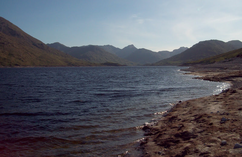
East down Loch Quoich:

The water couldn't come soon enough, and I must've gulped down another litre of river before carrying on. This river is allegedly difficult to cross (something the other party on the summit had alerted me to, as I had not really bothered to read the guidebook), but fortunately today was easy. All that remained now was 3 miles of tedious boggy path along the lochside.
Sgurr na Ciche from Loch Quoich. I want RCFC and Cuillin's canoe!
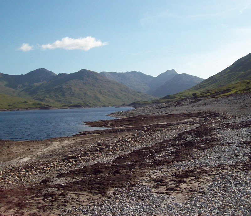
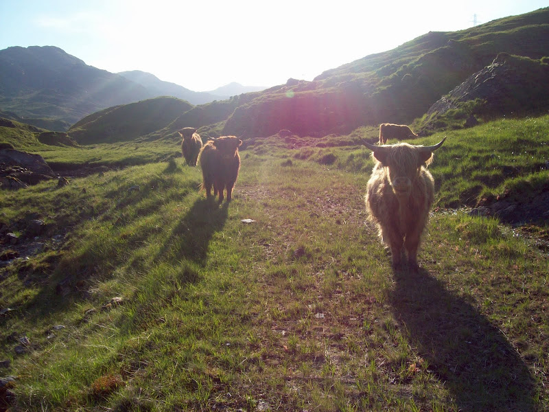
Magicdin's report had mentioned how this was comparable to the Loch Mullardoch path, so I didn't have high hopes for it. With the loch being so low though, I could see my other option quite clearly. I made my way down to the stony scar along the lochside and followed this for a good couple of miles. Much better! At the corner, where a finger of the loch led back to the car, I got a bit confused and managed to miss the short section of old road shown on the more recent Landranger maps. After a bit of slopping around in the mud, I managed to pick it up further along, and followed in Magicdin's footsteps along the dry bed of the loch. The old road was probably slightly longer than the shore, but the walking was much easier, and soon I was back at the car, via a herd of Highland cattle.
Wot no bridge?

This one has survived:

Properly knackered and rather sunburnt at this point, I somehow managed the drive home without dozing off.
