free to be able to rate and comment on reports (as well as access 1:25000 mapping).
Munros: Ben Ime
Corbetts: Binnein an Fhidhleir, The Cobbler, Beinn Luibhean.
Date: 14 and 15/05/2016.
Distance: 6.5km + 10.5km.
Ascent: 780m + 1380mm.
Time taken: 3 hours and 5 hours, 30 minutes over 2 days.
Weather: Sunny and warm with occasional cold breeze
(l
ink to previous day)
Having just got off the ferry from Jura at 10am, I was approaching Arrochar from a less than usual direction. A fine drive out from Tayvallich via Crinan and Lochgilphead had me in Glen Kinglas shortly after 11am. Although the air temperatures were fairly modest (barely breaking 12 degrees), it was pretty warm in the sun. Despite yesterday's greyness, I had some minor sunburn, and it looked like I would be getting some more today

.
------------------------------------------------------------------------
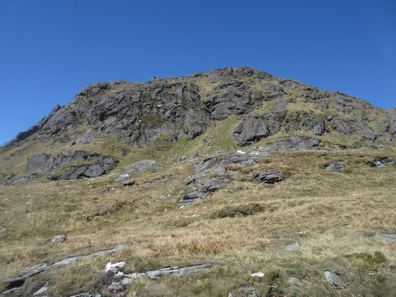
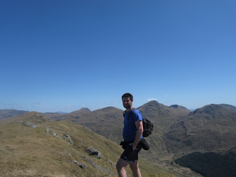
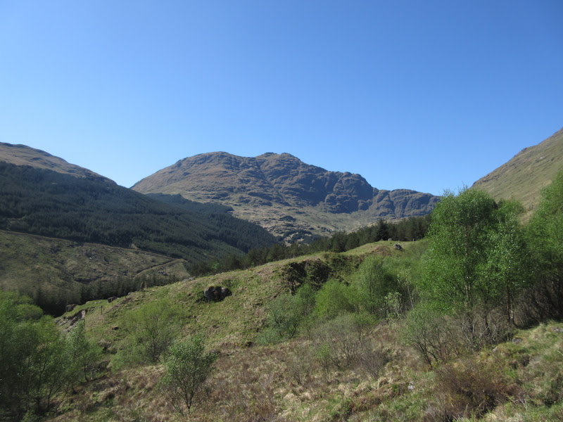
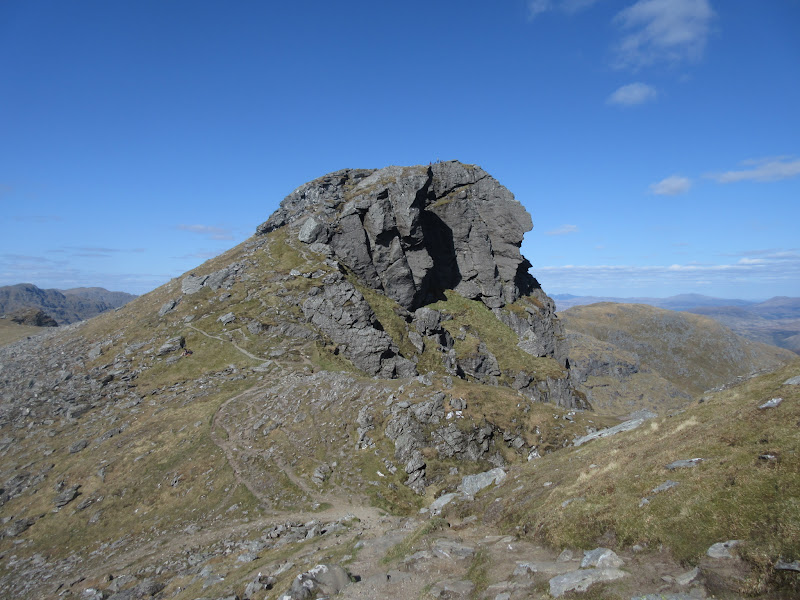
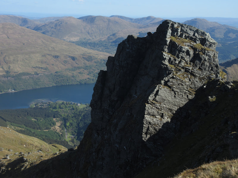
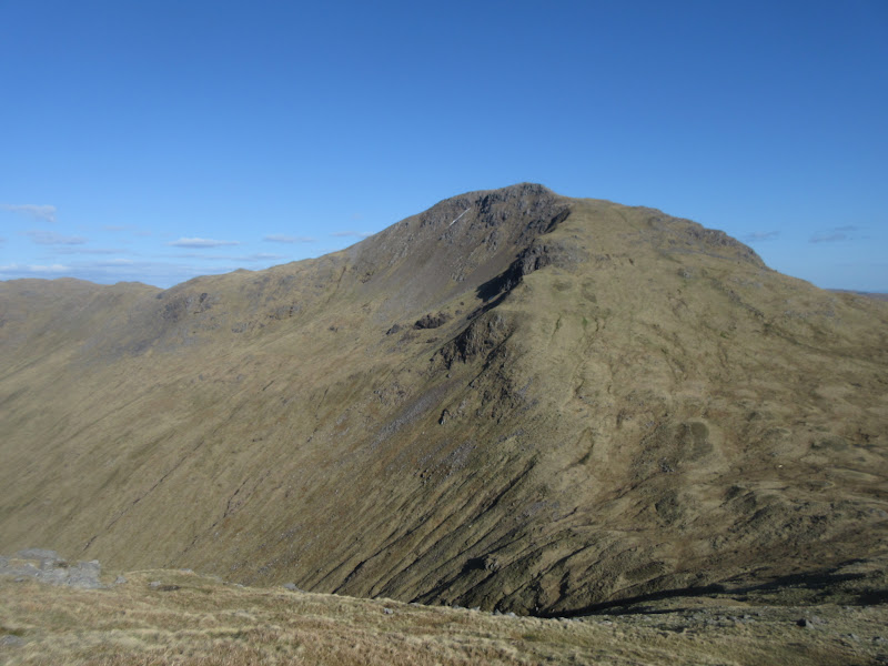
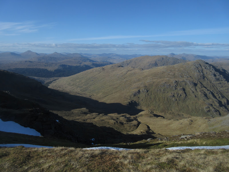
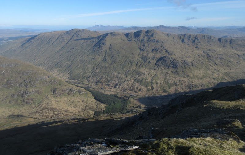
Binnein an FhidhleirI crossed the A83 and passed through a gate which leads to the track further up the glen. Another gate here leads to Binnein an Fhidhleir, and immediately you are going up steeply - no messing around with walk-ins here.
Binnein an Fhidhleir from Butterbridge:
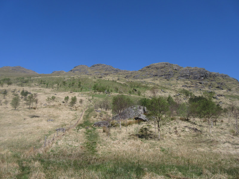
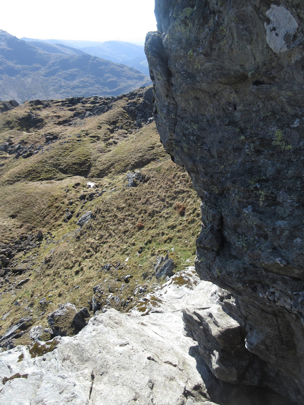
After passing through a short area of newly planted woodland, a stile in a fence leads to the open hillside. This first bit looked like it would normally be a bit damp, but it was dry today. Once on the hillside, I lost the path and picked my way up through steep outcrops with the occasional bit of easy scrambling. I was sweating buckets

.
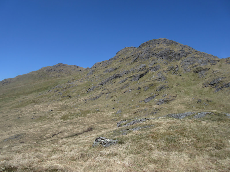
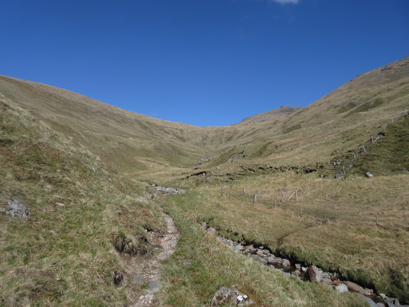
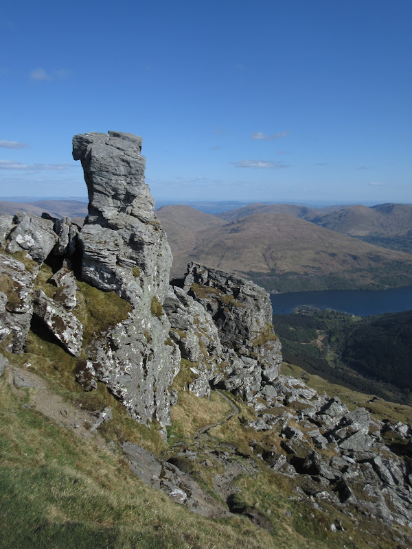
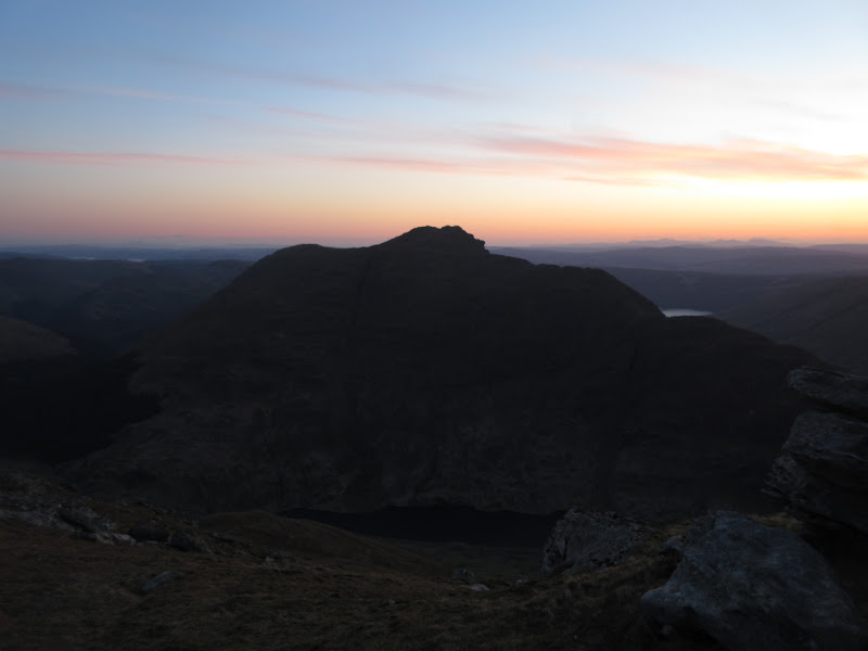
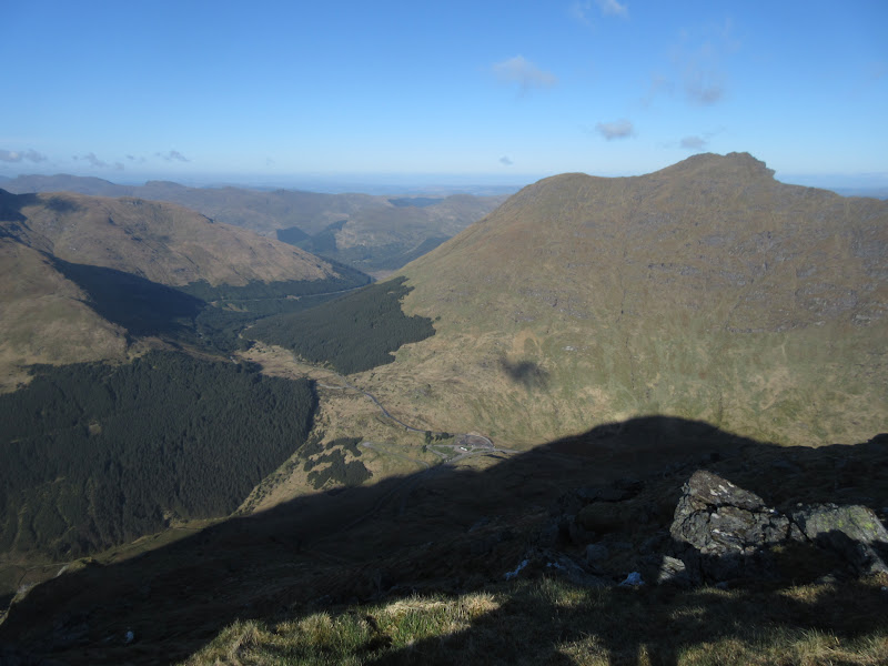
Beinn an Lochain:
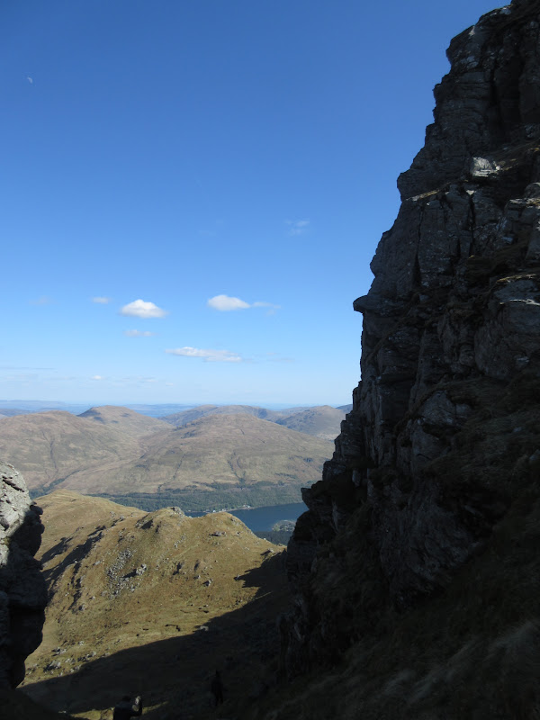
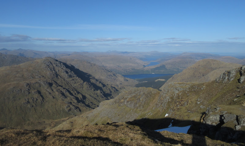
There is a short flatter area to be crossed, then it is straight up again, and onto the summit. Great views in all directions from here, but the hill is a bit of a pretender. The summit ridge looked like a nice stroll, but the drop down to the north was much shallower, soon leveling off into expanses of moorland.
Approaching the summit:
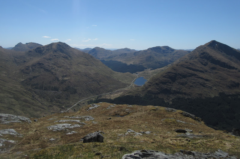
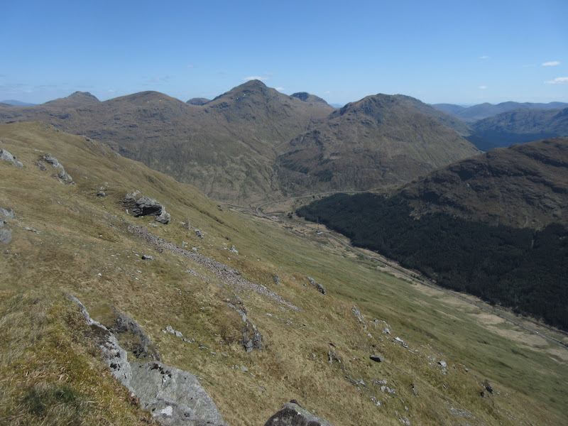
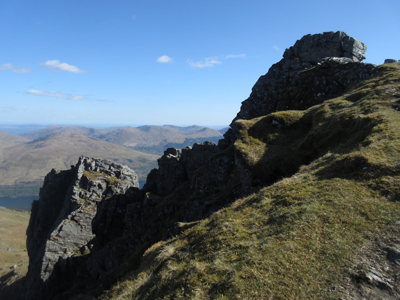
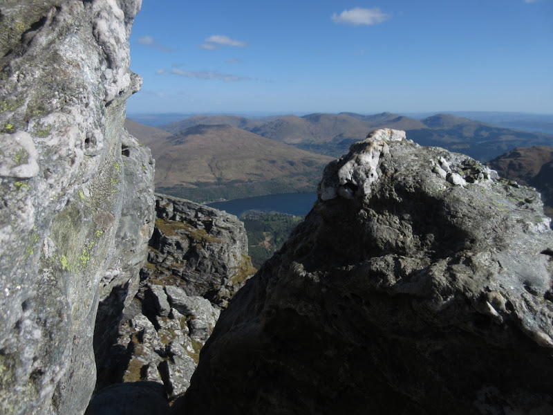
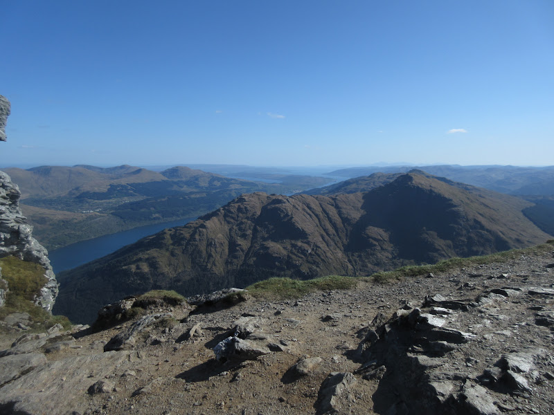
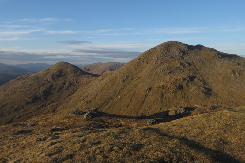
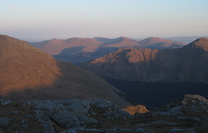
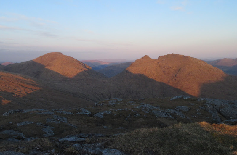
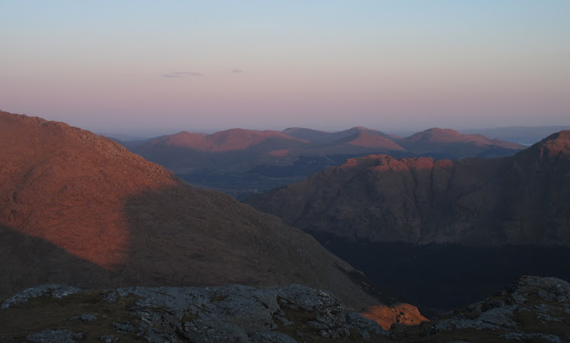
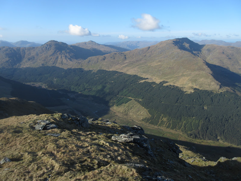
Cobbler, Beinn Luibheinn, Brack, Cnoc Coinnich, Ben Donich and Beinn an Lochain:
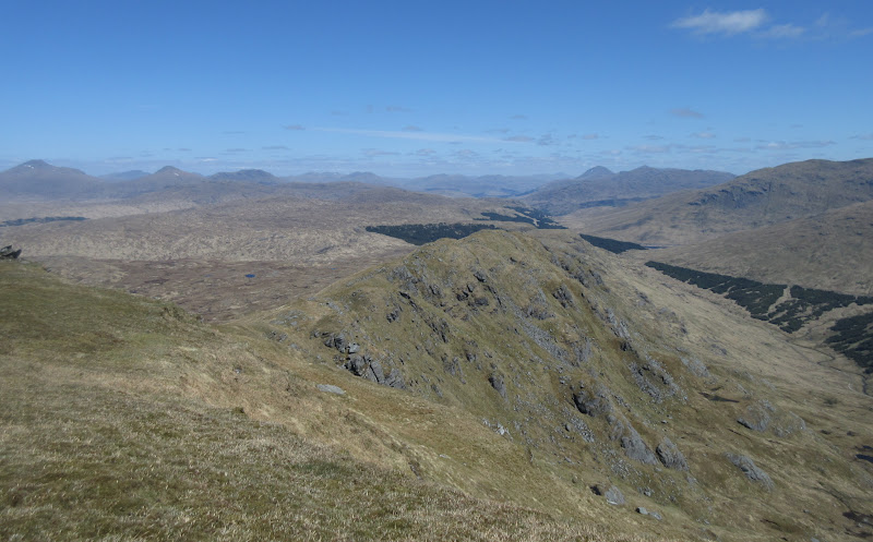
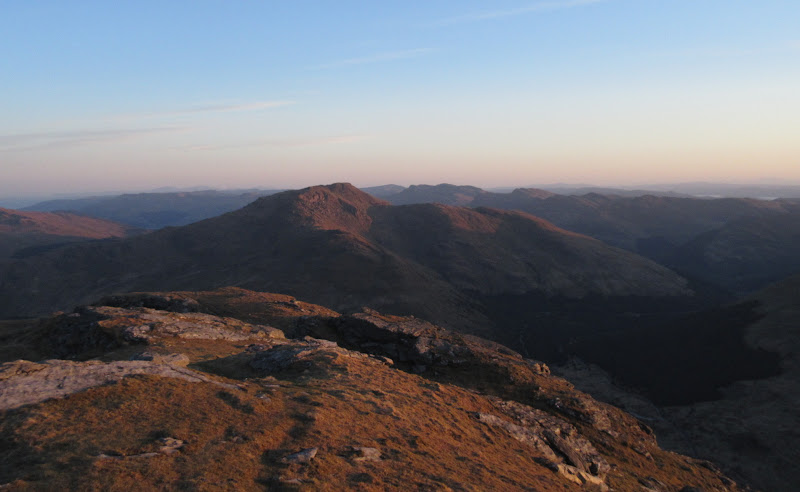
NE ridge with Ben Lui and Ben More among others:
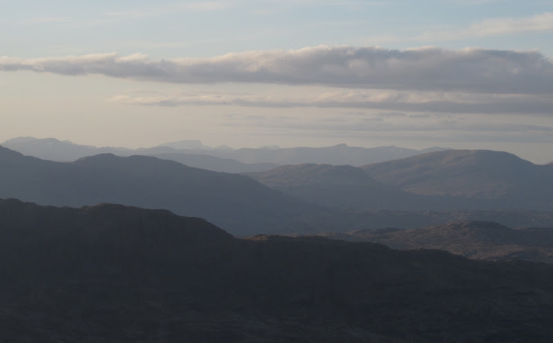
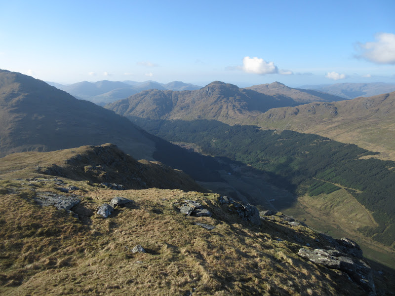
Arrochar Alps and Loch Restil:
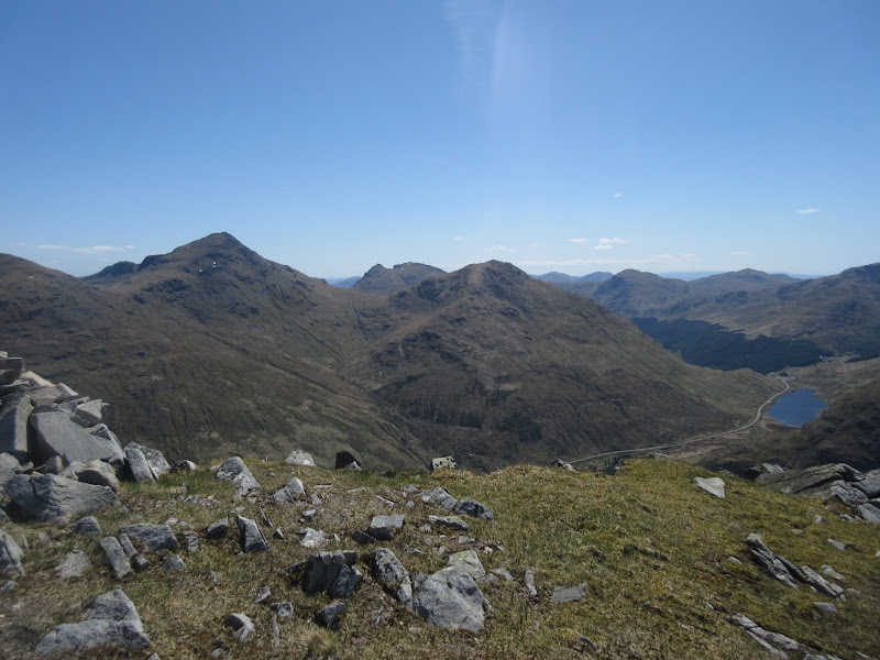
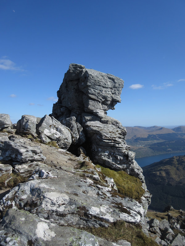
Towards the western summit:

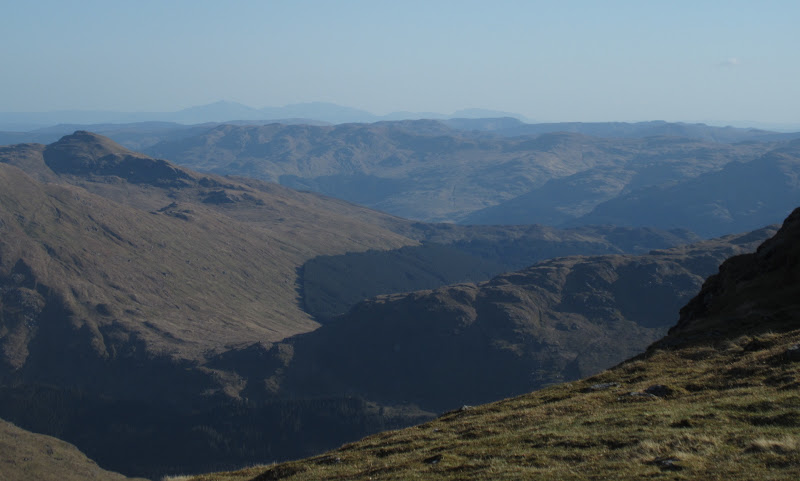
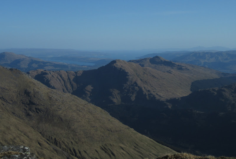
After a good break and and my first lunch, I decided to wander over to the western summit as it looked to have better views down Loch Fyne. It certainly did, and I could just make out Jura in the haze. It was back to looking miles away again - funny to think I was over there just a few hours earlier.
On the western summit:
A Fyne view:
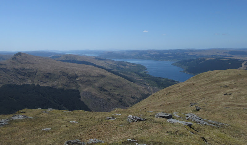
…with the Paps of Jura in the background. Considering I was on them a few hours earlier, they look a long way away!
For my return, I retraced my steps to the first col then dropped into the corrie. I took a descending traverse from there towards the farm building of Butterbridge, which was steep but quite reasonable underfoot. As I dropped towards the line of the deer fence, I traversed around on a more level course to meet it just at the point where the stile I had crossed earlier was. Finally, 5 minutes from the road, I met a family of 4 and another person just starting out. Funny score - Beinn Shiantaidh on Jura (not even the Corbett): met 8 people on a Friday. A relatively popular Corbett in one of the busiest walking areas in Scotland: met 5 people on a sunny Saturday.
Glen Kinglas:
Anyway, I enjoyed Binnein an Fhidhleir - good value for money for about 3 hours worth of walking

.
--------------------------------------------------------------------------------
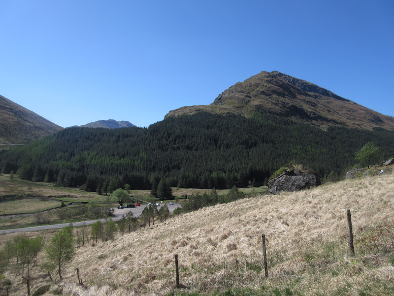
Arrochar Alps trio: The Cobbler, Ben Ime and Beinn LuibheinnBack at the car, it was a short hop down the road to a layby in Glen Croe. Actually it was too short - I should have carried on another 400m or so, but I was already walking before I realized this, so stuck with my parking space. Before starting, I had a long lazy sit in the car considering the options. I was feeling somewhat lazy at this point, and thinking about going round the next round of hills with my day sack in a fairly lightweight manner. However I also liked the idea of camping up high - particularly on Beinn Luibheinn, although the camping gear was unappealing. I had a vague plan that involved not taking my bag to any of the summits and doing a sort of low loop of the corrie with short detours up to each hill. What pushed me to take the tent in the end was a desire not to sleep in the car or end up inadvertently camping in the middle of nedsville.
Beinn an Lochain from Glen Croe:
So I wandered down the side of the A83 to the correct parking spot by the bridge over the Croe Water. I set off up the south side of the burn to start with, which was a little damp in places. This was a nice secluded corrie but the walking wasn't up to much. Then I spotted a decent looking path on the north side of the burn. As I was trying to get onto the Cobbler, it wasn't an obvious choice, but I crossed over to it anyway and it was pleasant.
Coire Croe:
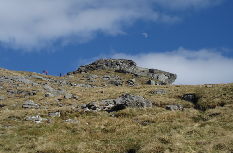
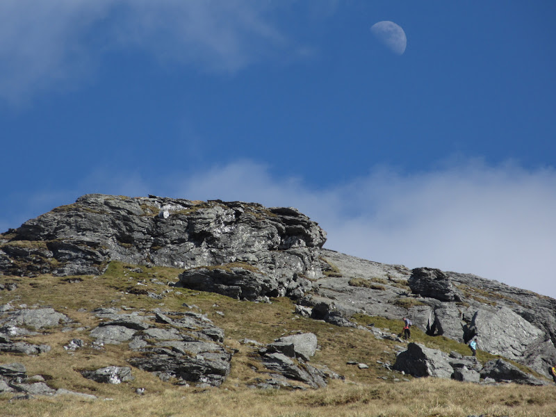
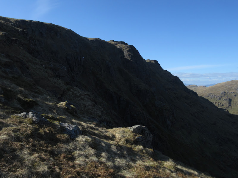
I had now missed the rather vague NW shoulder of the Cobbler, but hadn't fancied dragging my pack up it anyway. Originally I was aiming for Lochan a' Claidheimh, with the intention of leaving the bag there and doing a quick there-and-back up the Cobbler's back path. But I spotted a reasonable looking route up next to the burn in the NW corrie, which had a bit of a path. It took an age to get up here - I was really dragging my heels, but before long I could see people scrambling over the N peak. Couldn't be far now!
North peak of the Cobbler from a funny angle:
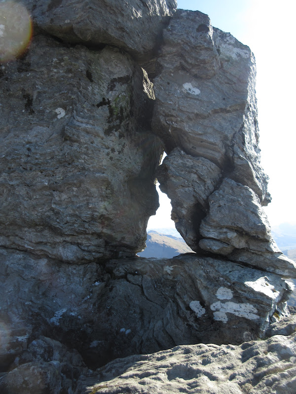
I abandoned my bag behind an outcrop and joined the main path to the summit - it certainly wasn't quiet up here! Soon I was there, looking at the pinnacle and wondering if this would be the impediment to my full set of Corbetts. No reason why it should be - I've done plenty of more difficult things - but the uncertainty here went back a long way.
Near the summit:
Back in 1999, I borrowed my mum's car, dodged school and drove up to Glasgow to go to the university open day. By about lunchtime it became clear that I wouldn't be going to Glasgow university, so I jumped in the car and headed for Arrochar. It was a lovely afternoon in late April, and I decided to go up the Cobbler. I arrived at the top in early evening with no-one about, and couldn't work out for the life of me how to get onto the summit. I must've spent a good half hour trying to get onto a ledge on the N side of the pinnacle, before giving up and heading for Ben Narnain. I had never been back, and despite knowing it was supposed to be fairly straightforward, that was completely at odds with my experience of it.
North peak looking more conventional:
South and Main peaks:
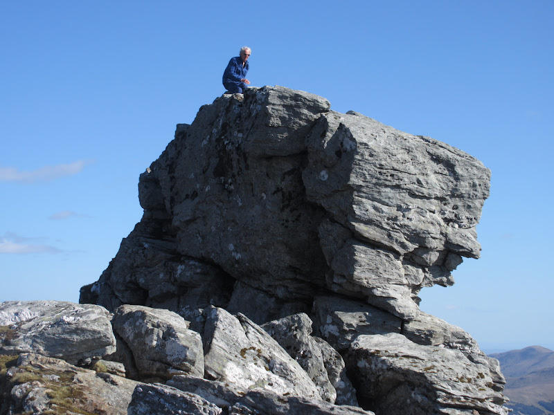
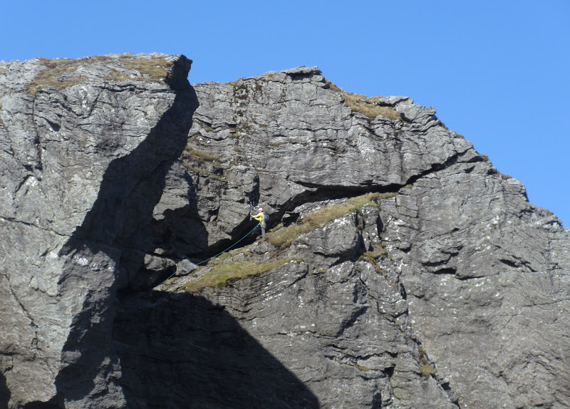
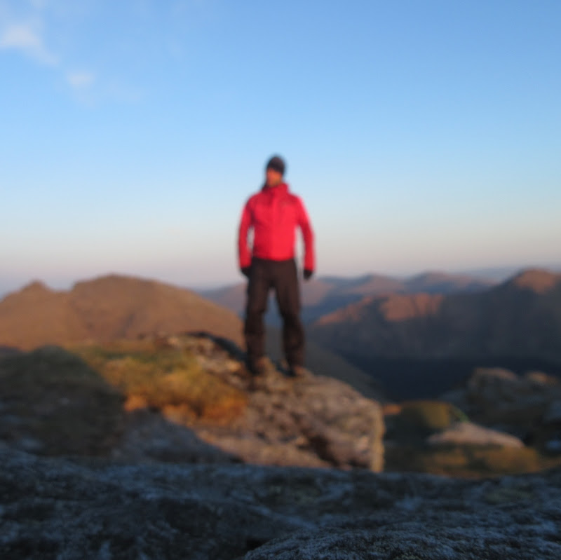
Of course back then I hadn't realized that you need to 'thread the needle', which leads through to a much wider ledge on the south side. These days, I'm much more nervous when it comes to scrambling than I used to be, and I still felt a little apprehensive heading through the hole. Of course in dry conditions it was straightforward, but I still couldn't bring myself to stand up straight on the summit - more a quick slap of the highest point followed by a rapid retreat. Once back on the main body of the mountain, I wondered what all of the fuss had been about - it had been pretty much as everyone had described it. An older guy who came up behind me posed for a photo on the summit.
Finally – must manage to get up it this time!
Rather limited photos during the scramble:
You’ll just have to take my word for it

The Brack and Loch Long:
This guy kindly posed for me:
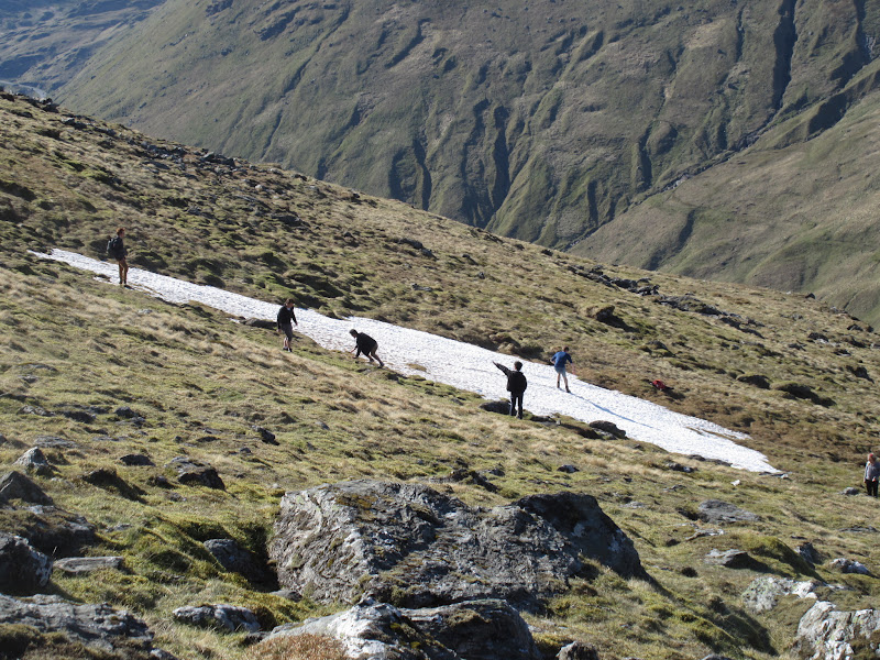
With that fun over, I wandered around the summit area for a bit, enjoying the scenery. I could have explored some more, but my thoughts were now turning to finding a camping spot. A large group of Americans were playing in the last patch of snow and clambering over the north summit - certainly not somewhere to go if you are looking for solitude and quiet but I rather liked it.
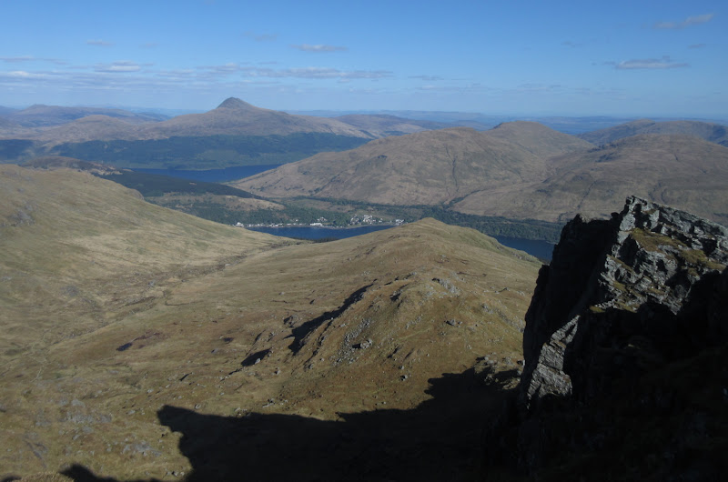
Arrochar and Lomond:
South peak:
American tourists playing in the snow – you’re a month too late for that:
Climber on the North peak:
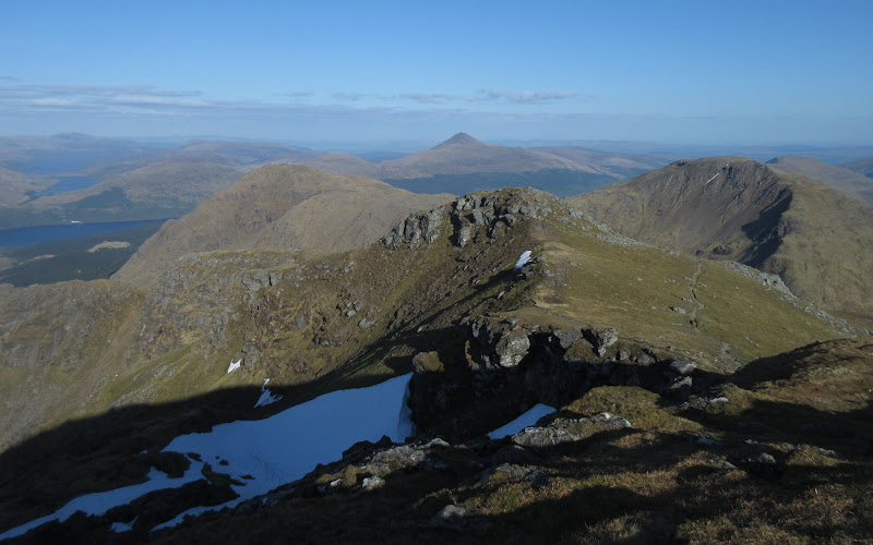
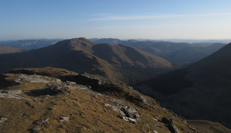
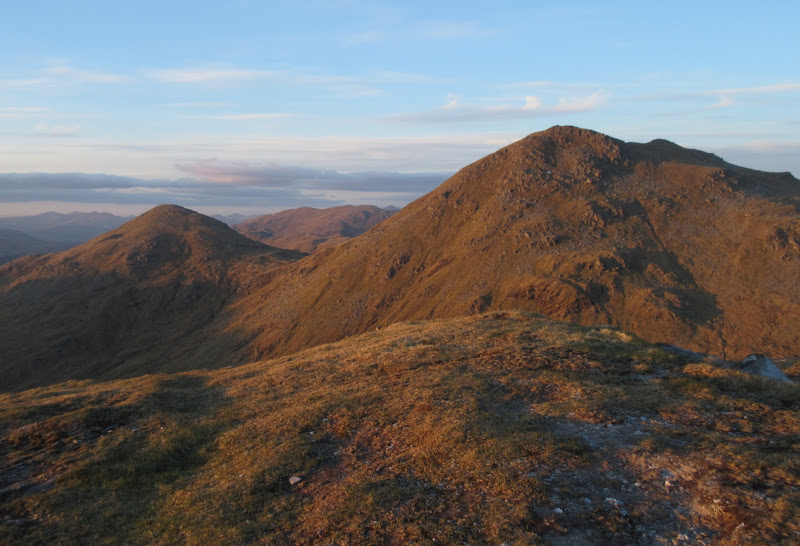
Next up, Ben Ime:
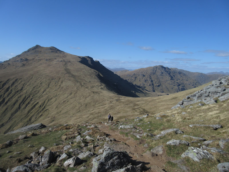
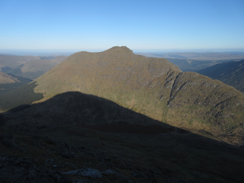
Then it was down the well-made back path and on towards Ben Ime. The descent to the west of Ben Ime looked quite steep and rocky, but a gentler route headed down to the Bealach a' Mhargaidh from about 850m on Ben Ime. That worked to my advantage as I could dump my pack and float up the last 160m without it.
Ben Narnain:
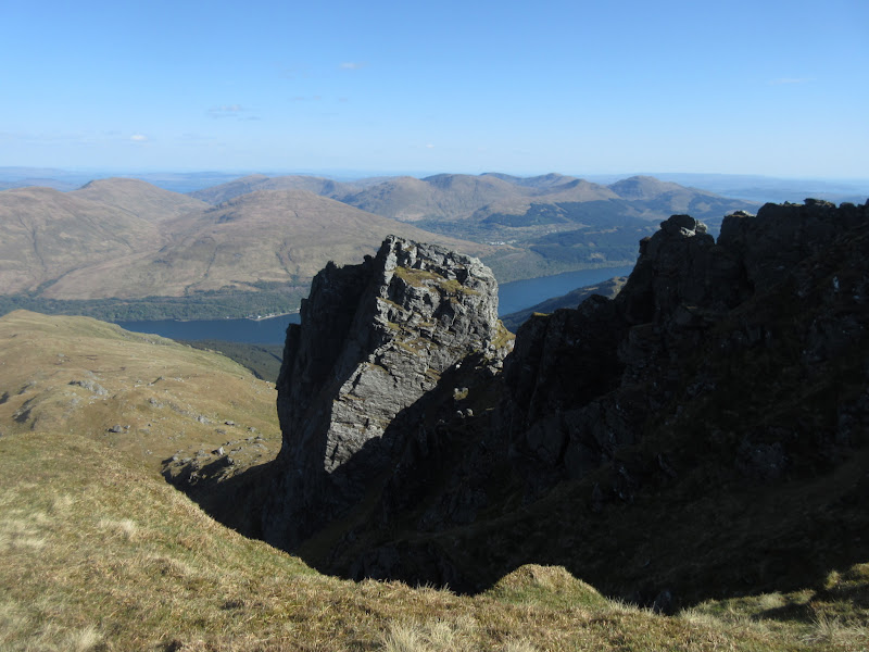
Cobbler:
Before reaching the pack dumping point, I diverted east off the path for better views of the E face of Ben Ime and the corrie leading down to Inveruglas. Glad I did this as a fox sprinted across my path over here. The E face is quite rocky and impressive, but due to the direction of the sunlight, the photos didn't come out too well. The NE ridge up from Lag Uaine looks like an interesting ascent.
Ben Vane and Gleann Leacann Sheileach:

East face of Ben Ime:
Soon I dumped my bag and headed for the summit, and passed the only other person I'd meet today. He had been trying to do a circuit of all 3 Munros from Inveruglas but run out of time, so was planning to drop down into the eastern corrie before Beinn Narnain.
What a perfect time of day to be on the highest peak in the Arrochar Alps

. My last time here had been in soft snow and no visibility - quite a contrast.
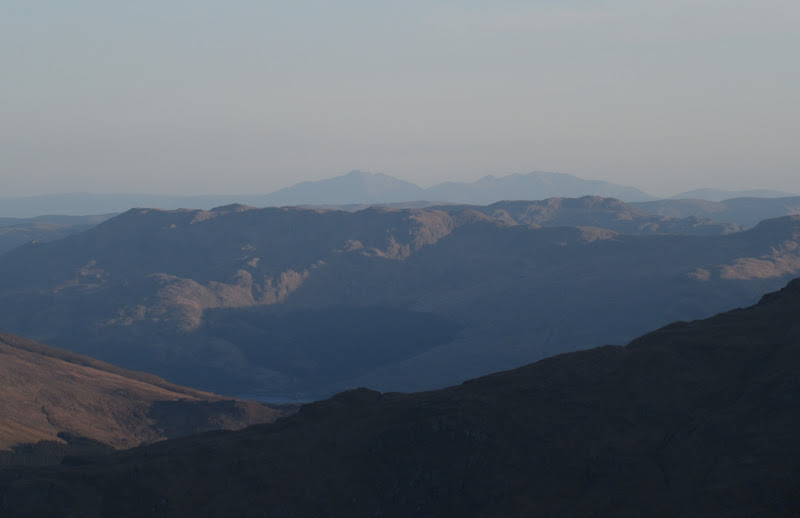
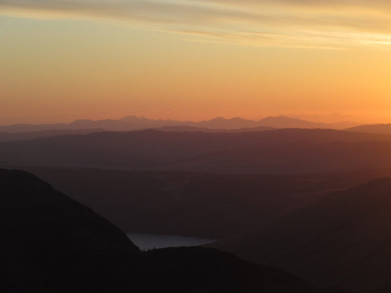
Arran:
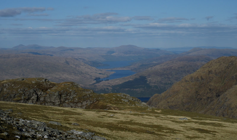
Loch Arklet and Loch Katrine:
Ben Vane:
Ben Lomond from Ben Ime:
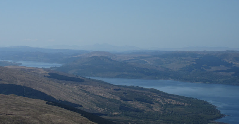
Paps of Jura:
Across the Brack to Inverclyde:
Ben Vane and some lochs:
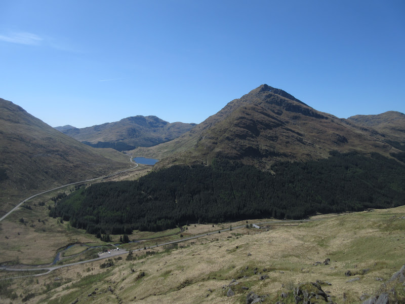
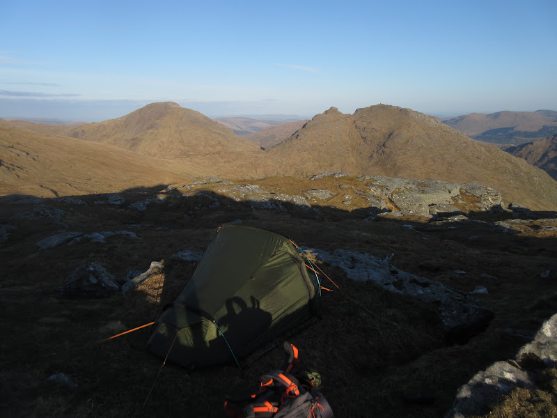
A quick skip back to the bag, then it was an easy descent to Bealach a' Mhargaidh. The last ascent onto Beinn Luibheinn was actually quite chilly as it was entirely out of the sun. When I finally popped over the last bump at around 8pm, the sun was glaring directly in my face.
Ben Donich with Cowal behind:
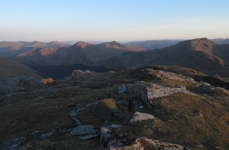
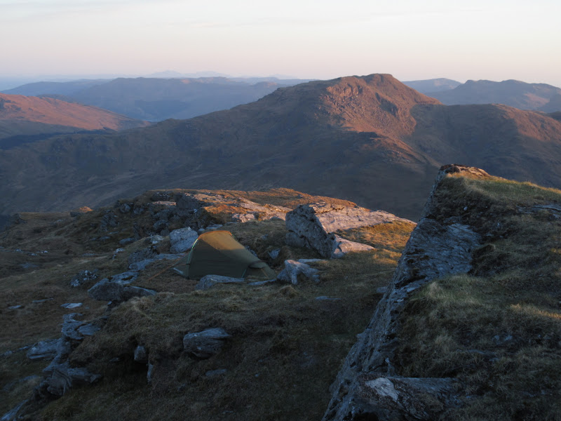
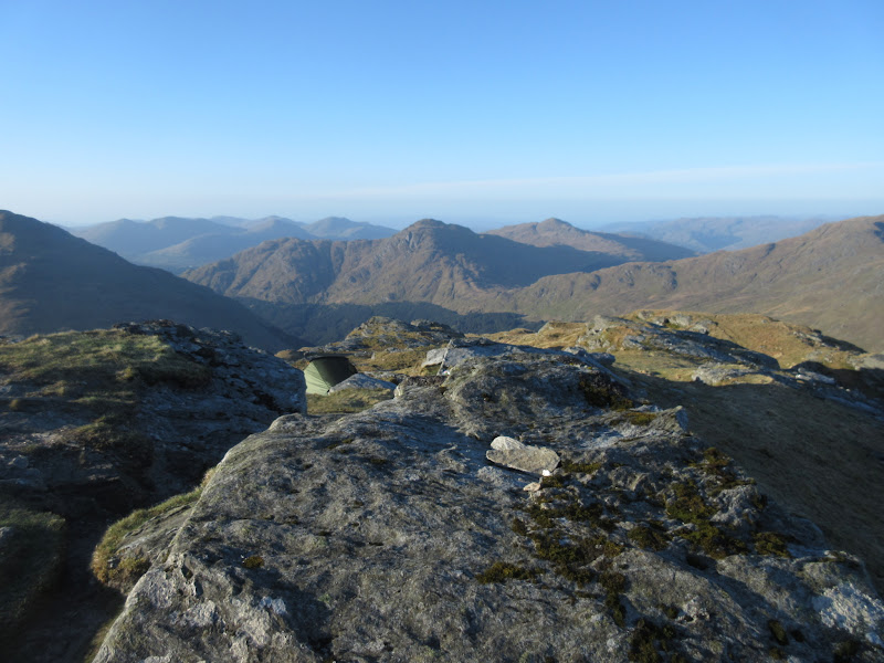
This was a perfect summit for camping. There was a good mixture of interesting boulders and flat grassy patches. I found a patch barely 20m from the top, nicely sheltered from the cold breeze by a boulder. Once the tent was up, it was time for dinner and relaxing.
Tent up on Beinn Luibheinn:
Arran getting clearer:
Beinn Chorranach and Ben Ime:
North to Ben Nevis and Stob Gabhar:
I was glad I had bothered - given how cold it had been while I was sitting on Beinn a' Chaolais the previous evening, I wasn't sure if I'd be that comfortable up here. True, I wasn't able to sit around in my t-shirt like at the previous evening's camping spot, but it was perfectly tolerable with some more clothes on. I had lugged up a small can of beer again which tasted amazing after the day's exertions. I jinxed things by posting up a photo to facebook though - my phone crashed and died after that. Obviously such frivolous and attention seeking things should never be done
.
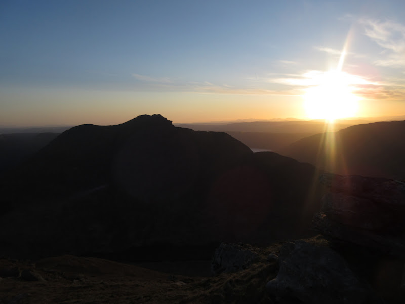
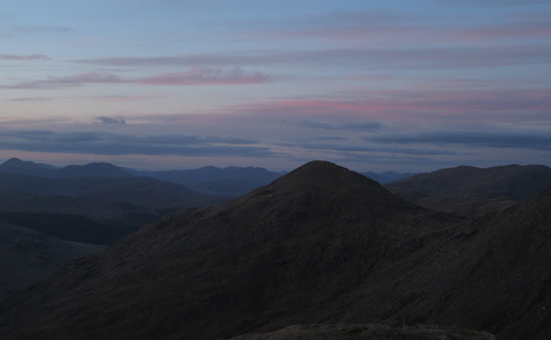
Like last night, I spent the last 20 minutes of sunset hanging around taking photos, and hoping my camera batteries wouldn't go the same way as my phone. After that, it was chilly and I went to bed.
Dusk closing in:
Ayrshire across the Brack:
Luss hills:
Paps again:

Beinn an Lochain:
A nicely in-focus bit of rock in the foreground:
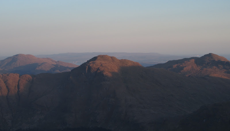
Ime again:
Narnain and Cobbler:
Ben Donich:
…with tent:
Getting cold now but worth hanging around – Mull:
Luss hills:
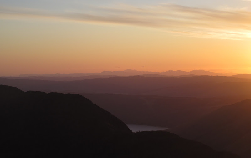
Sunset over Mull:
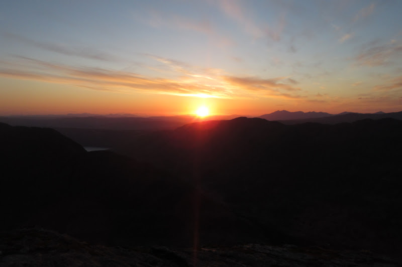
Cruachan:
East to Beinn Chorranach:
Last light over Beinn an Lochain:
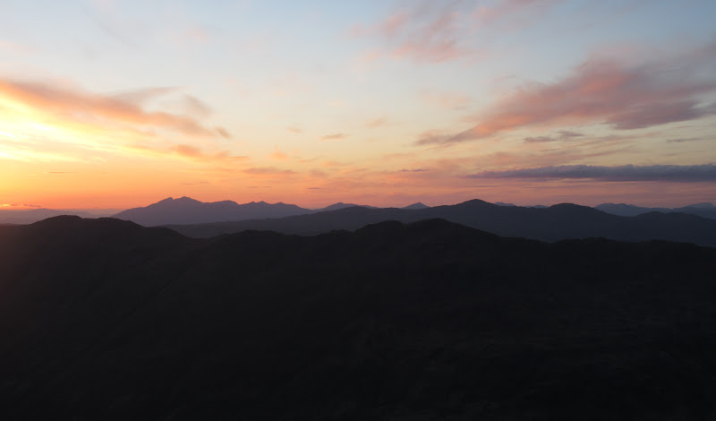
I don't usually sleep particularly well in a tent - it's more of a means to an end, or a way to spend the night in amazing places like this. I was no more comfortable than normal during the night, but this time it didn't seem to prevent sleep at all. I did manage to stick my head out once during the night to see the glow of the central belt to the south, but I certainly couldn't drag myself outside for sunrise, and it was 6:30am before I got up.
…and morning light as well:
The forecast had been for a deterioration in the weather today, but it was still as sunny as ever, and the slight breeze had disappeared too. Not overly warm initially - again there was a small amount of frost on the tent.
Breakfast on the summit:
After breakfast I packed up and returned to the car - not a particularly long way away. Even accounting for dragging my feet a bit, I was back at the car in about an hour, able to drop straight down to my layby rather than walk along the road this time.
Glen Kinglas and Binnein an Fhidhleir:
Gleann Mor:
Brack, Cnoc Coinnich and Ben Donich:
Brack and Luss hills:
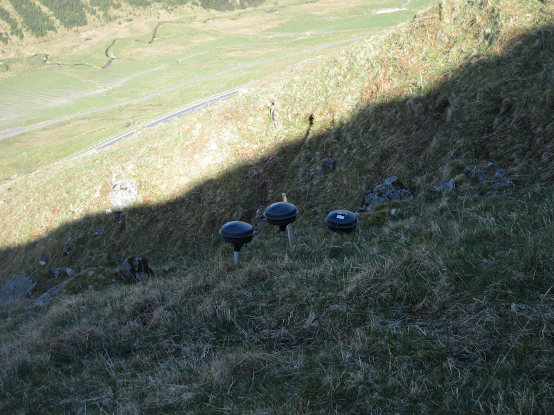
Just before the car I passed a couple of sensors - presumably for monitoring the ground to try and predict future landslips on this hillside. Hope my plodding steps didn't set them off!
Landslip sensors above Glen Croe:
Back at the car, it was hot. I hadn't expected this continued good weather, but I was pleased as it meant I would get some decent views of Loch Lomond and surroundings from my next excursion, Beinn Dubh - my penultimate Graham.
(
link to next day)
