free to be able to rate and comment on reports (as well as access 1:25000 mapping).
PLEASE FEEL FREE TO SKIP ALL THE POINTLESS WORDSHaving come off a relatively unproductive weekend I had a bonus 2 extra days off. The weather was looking better for Tuesday so decided I'd go do a hill.
I didn't want an epic, just something short and sweet. You know, something to stretch the legs and get the blood moving.
I've had Meall nan Tarmachan on the radar for ages, a short easy walk. Simple right? Well no, not simple...
I'm not sure if anyone else feels the same as me but I kind of feel driving a fair distance to nab a single easy hill a bit of a waste of petroleum. I knew there's a Corbett in the area I
needed to bag as I wouldn't be stopping in this area for a good while as I have walked all the other hills local to Meall nan Tarmachan.
Monday night I had a wee look at my all hills map and started to come up with a plan, a route that would get them both. There's a few options really but the one I chose was the shortest distance.
The PlanDive to the arse end of the dam, park up and blast out 'Meall nam Maigheach' dive back down to the road, jump the burn, storm up to Meall Glas, make my way around the corrie to the summit of 'Meall nan Tarmachan' and nip down to the car via Creag an Lochain and home for a burgers.
The RealityThe Monday had been muggy as hell in Glasgow and trying to get to sleep was almost impossible. The alarm was set for 7am but I recall checking the time during the night and thinking "I need to be awake in four and a half hours"

I don't know when I got to sleep but I know I didn't get enough. The gentle alarm goes off and I do a half press up to get myself out of bed. I get dressed, then force feed myself. I'm not sure how everybody else feels about eating in the morning but I don't like it.
The drive out of Glasgow was largely uneventful and by now the route up Great Western Road is second nature, knowing what lanes to be in and where all the jam points are. Ach, I've become a townie or at least getting there

The sun was splitting the sky, Smooth Radio keeping company (until Tarbet anyway where I always lose the signal) and fairly clear roads I was feeling optimistic about today's excursion.
Heading over the pass to Glen Lyon I was expecting to bump into at least one car but nothing came the other way. Great. What wasn't great was the seriously dark clouds over head. The weather forecast had cloud lifting/breaking up by mid morning...no evidence of that here.
I arrived at the car park at the opposite end of the Loch from the dam but I didn't like the look of it. I stopped and asked a guy whom was already parked(he had stayed the night) if he had any bother but advised it was fine as long as you avoid the drop. I should have taken a picture to explain it better

Getting ready I had a fairly lengthy conversation with the man and his wife/partner about hill walking (interspersed by their dog dropping a stick at my feet, with me feeling obliged to throw it) and the area. He asked how long would it take to get to the top of Ben Lawers, I said about 2.5 hours if your taking your time. He seemed a little surprised at this. They offered me a cup of coffee with a pastry but I politely declined (I couldn't face more food) before wishing them luck and setting off.
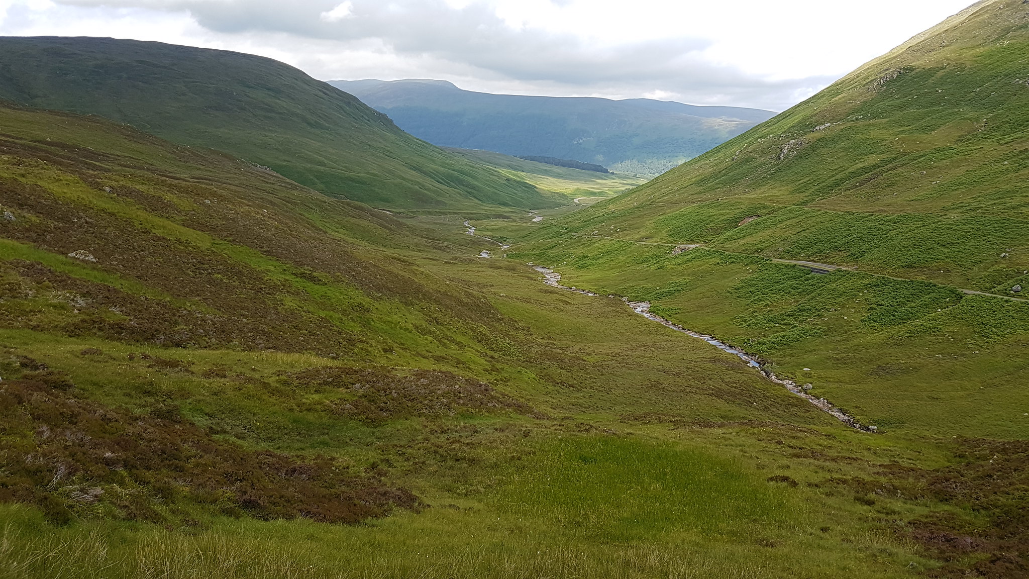
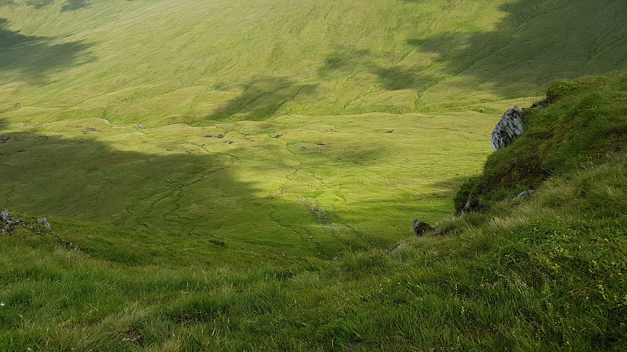
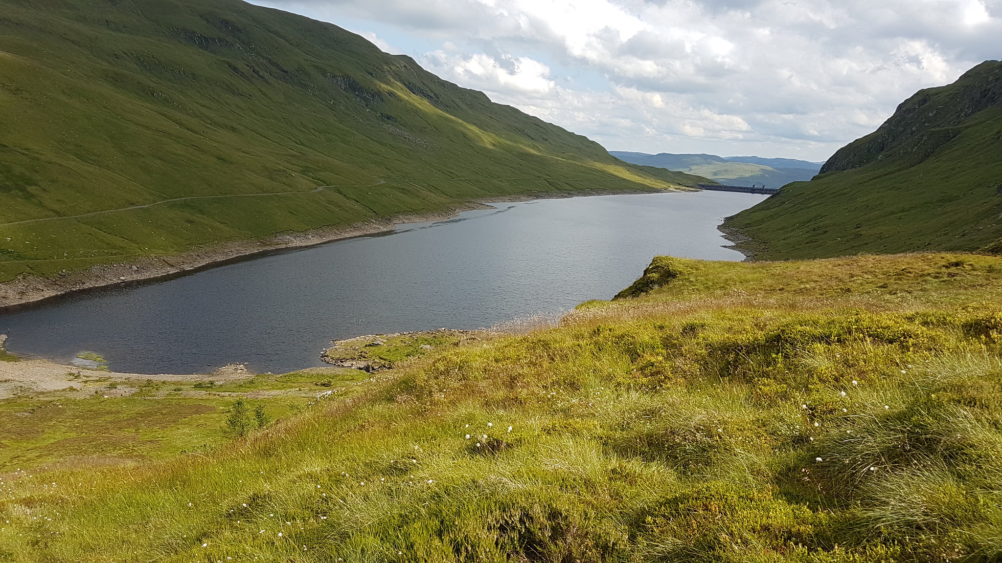
 Looking to the direction of travel. The Meall nam Maigheach is over there...
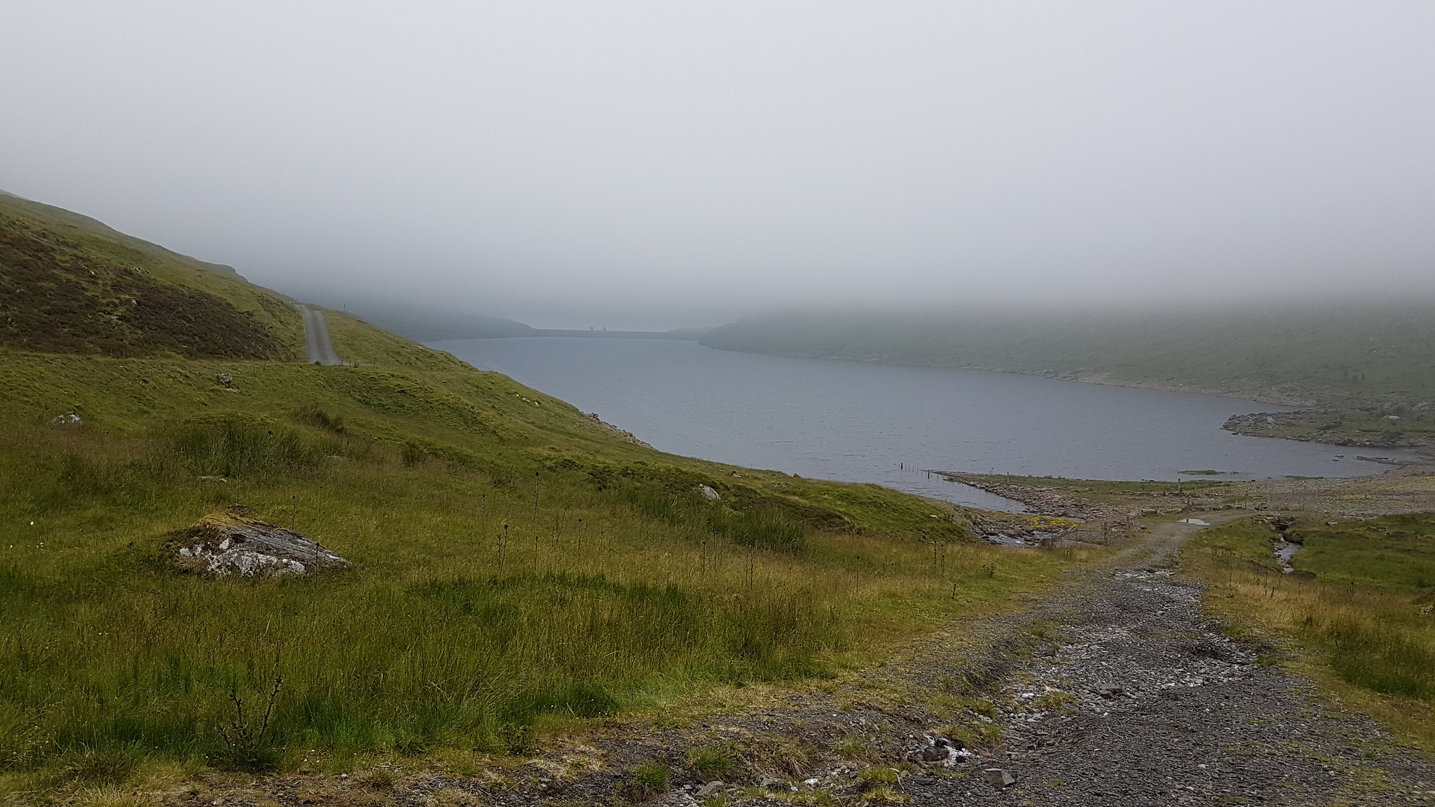 Lochain na Lairige looking pretty drab.
A quick jaunt up the road and it's time to turn off and up a path for a short distance again before turning off to your left or northwest(ish). I could see nothing just a dull soggy path-less bit of ground maybe 50ft or so stretching out in front of me.
The assent wasn't at all steep but it was made tougher by the terrain lumpy, haggy, heathery not great to get a rhythm going but worse yet was the heat! It was about 10am, no sun to be seen but the heat was horrible. Sticky, close smothering air just seemed to draw the sweat out of me. At this point, so soon into the walk, I knew it wasn't going to be as quick and straightforward as I had foreseen...

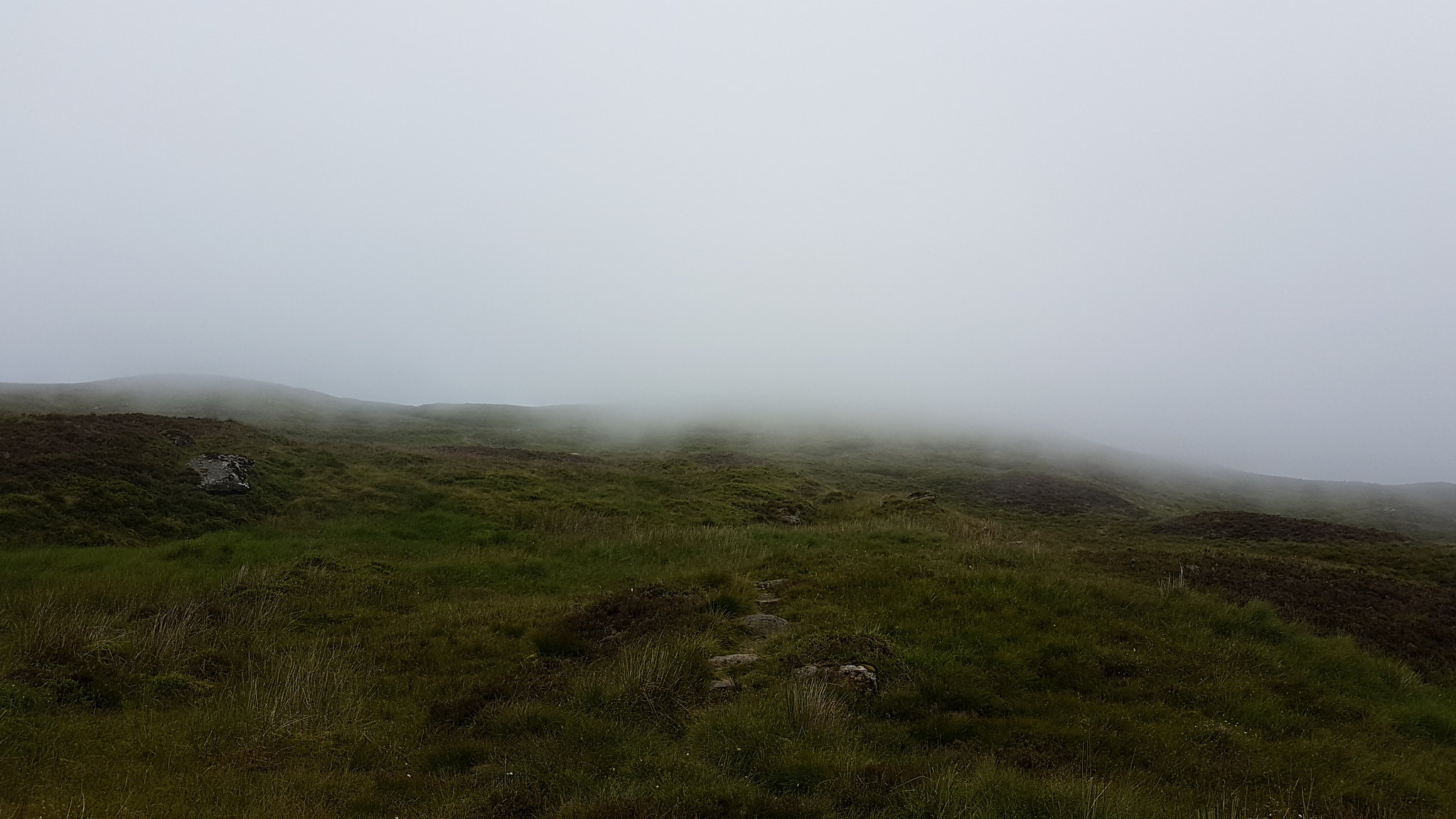 The way ahead.
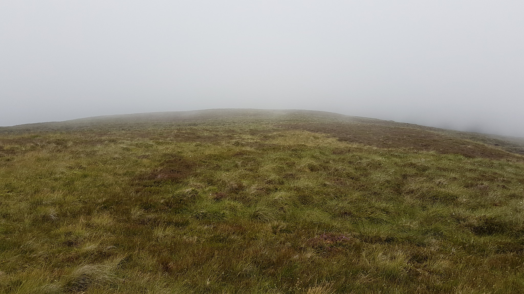 Featureless.
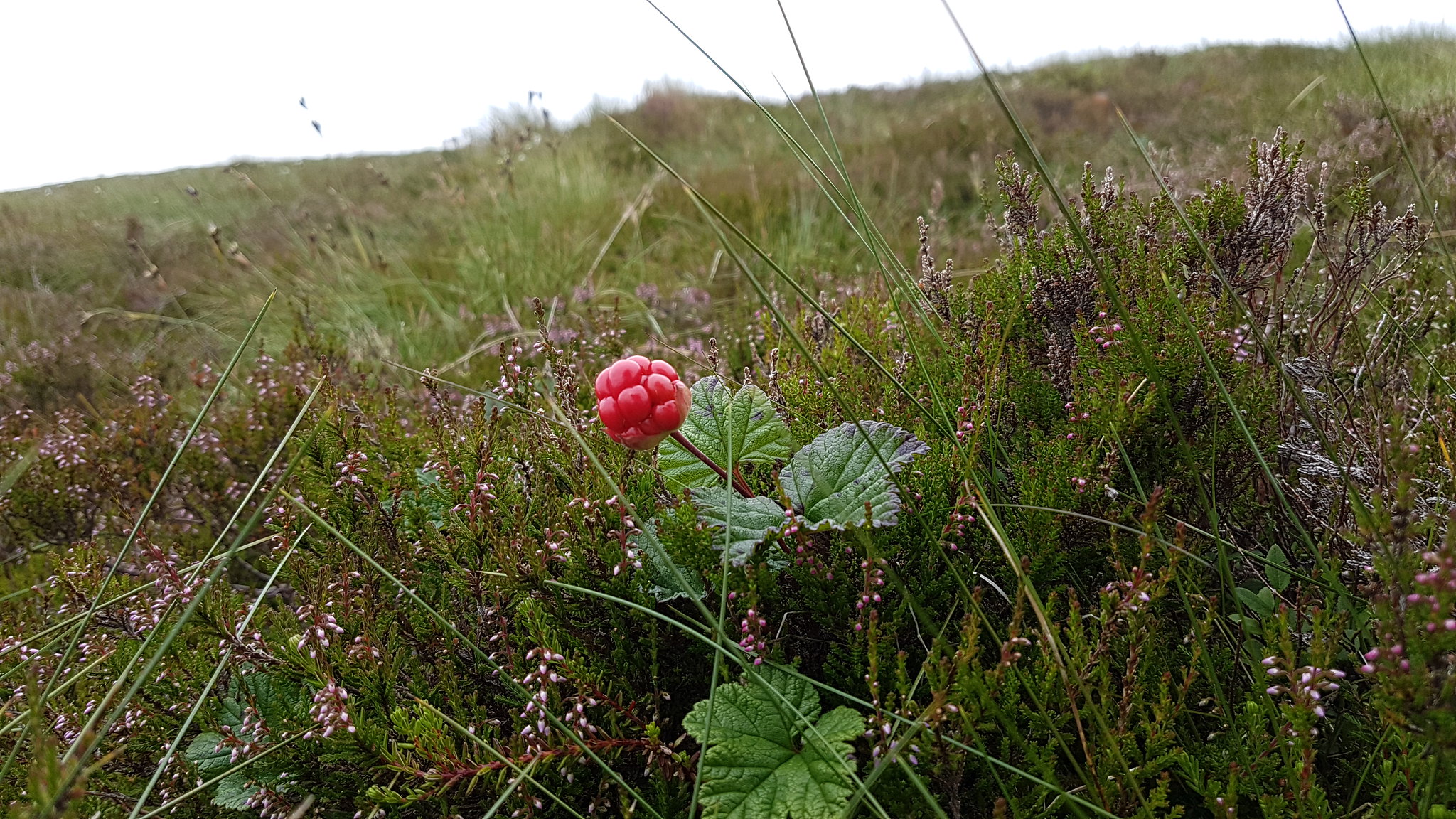 A Cloudberry was the only highlight of the walk so far.
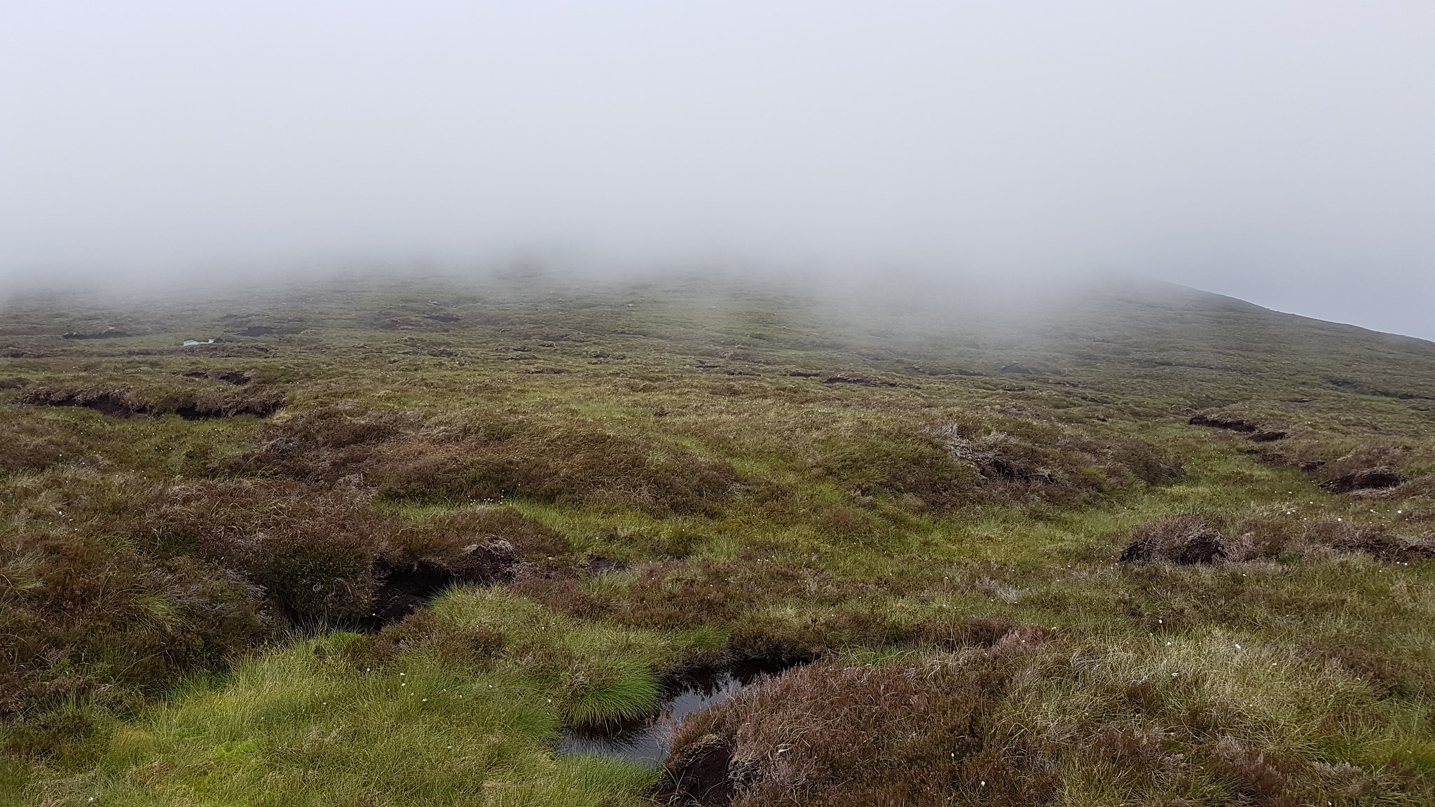 The pathless assent continues.
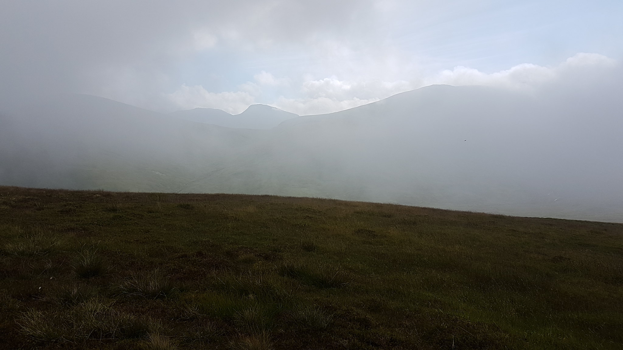 A brief glimpse of An Stuc.
I arrived at the top Meall nam Maigheach a full 25/30 minutes slower than expected. I found the summit shrouded in cloud but mercifully there was a perfect cool breeze to take away some of the discomfort from the air. The inside of my elbow joints were feeling particularly uncomfortable! I took a seat on the cairn it's self and took a few minutes to recover before heading directly off the hill towards Meall nan Tarmachan.
 My first view of the summit.
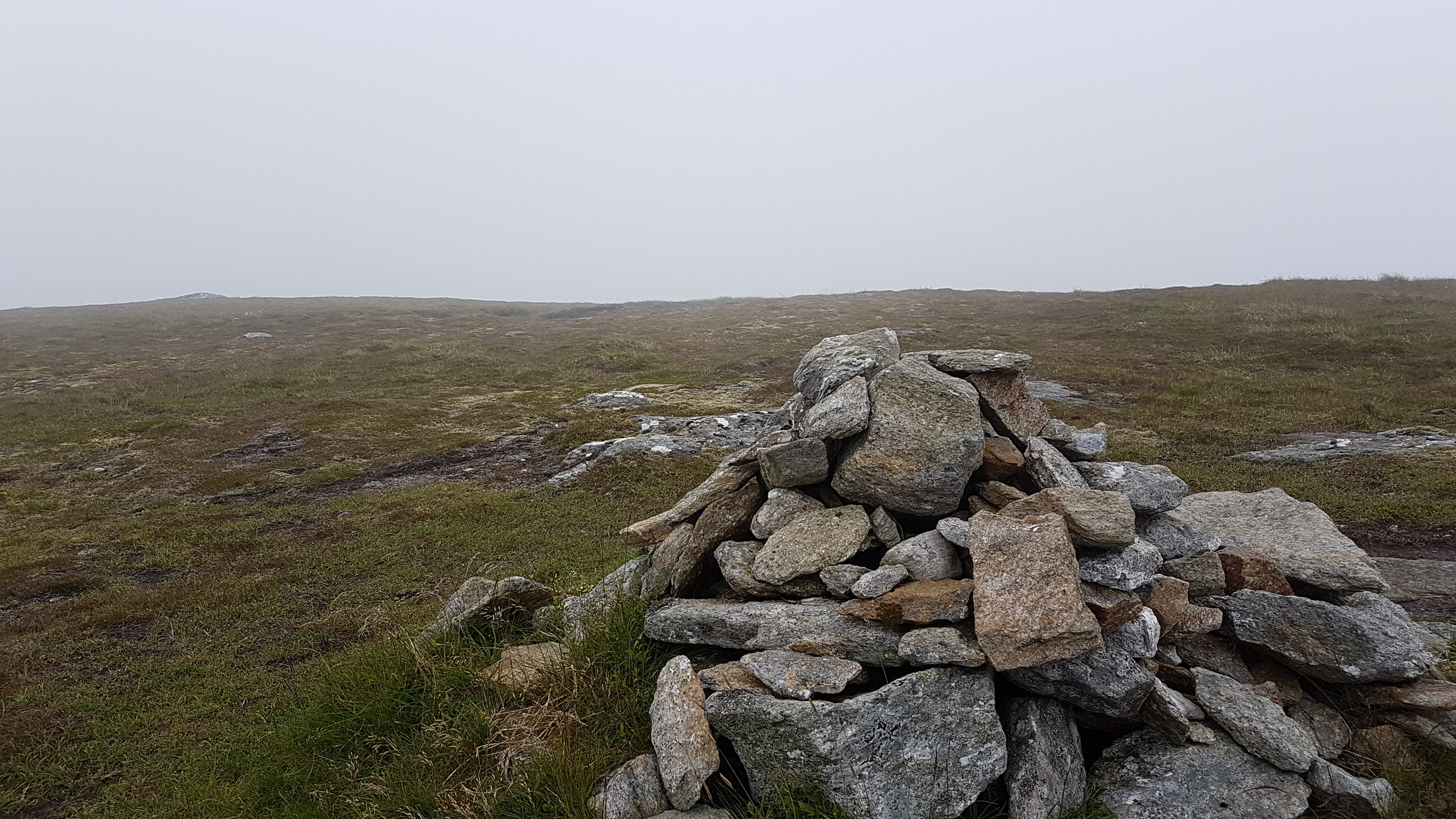 Meall nam Maigheach summit looking to Meall nan Tarmachan.
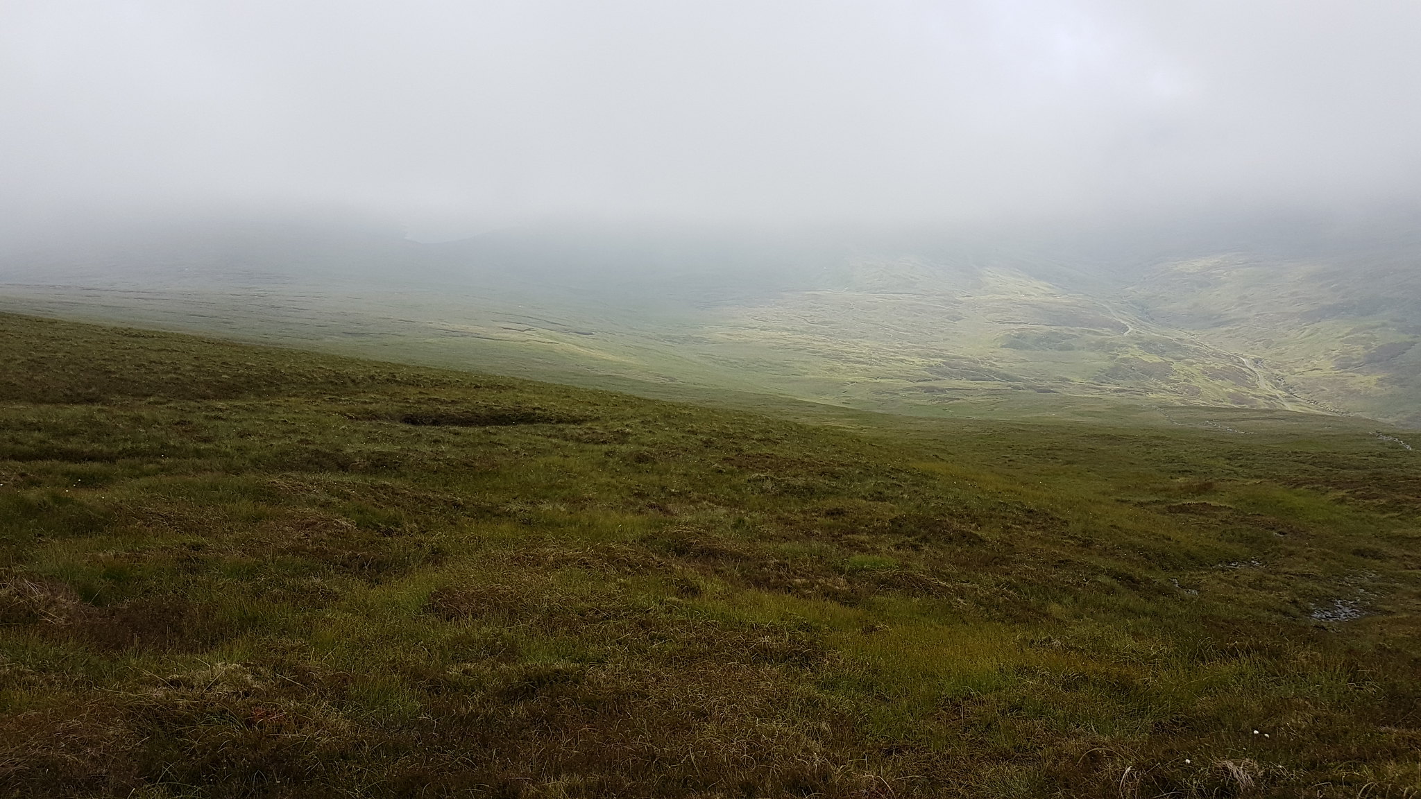
I dropped out of the thickest of the cloud only to find myself completely wrong footed by the misty views I got. Am I heading off in the right direction? The road was to my left the whole walk thus far so there's no way I got it wrong. Where's the stone wall? I went into my bag to pull out my map. Where is it? 2 out of the last 3 walks I've done I've forgotten to pick up my maps for the intended walk, a trend I intend to get on top of!
I waited around for a few minutes hoping for a clearing in the clag. Away to my left was a large patch of unmelted, weird I thought. Out in front of me was an unbroken stretch of moorland where the road should have been splitting the landscape. I wasn't wanting to give up my hight just yet, I may have to walk back up and over the Corbett.
A few minutes later, maybe 10 or so I got a clearing in the mist...thank goodness!
The patch of snow away to my left became the loch, the road was right there running parallel with burn and the stone dyke was just a few meters to my right. This was easily the most confused I've ever been while out walking and the crazy thing was I was going the right direction!

 Once the mist cleared a little this was the view I got. Can you see the Loch?
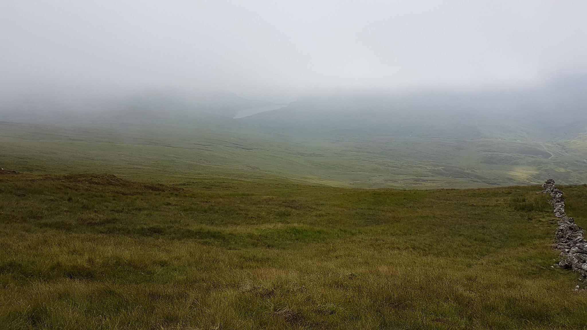 The snow patch, oh wait the the Loch
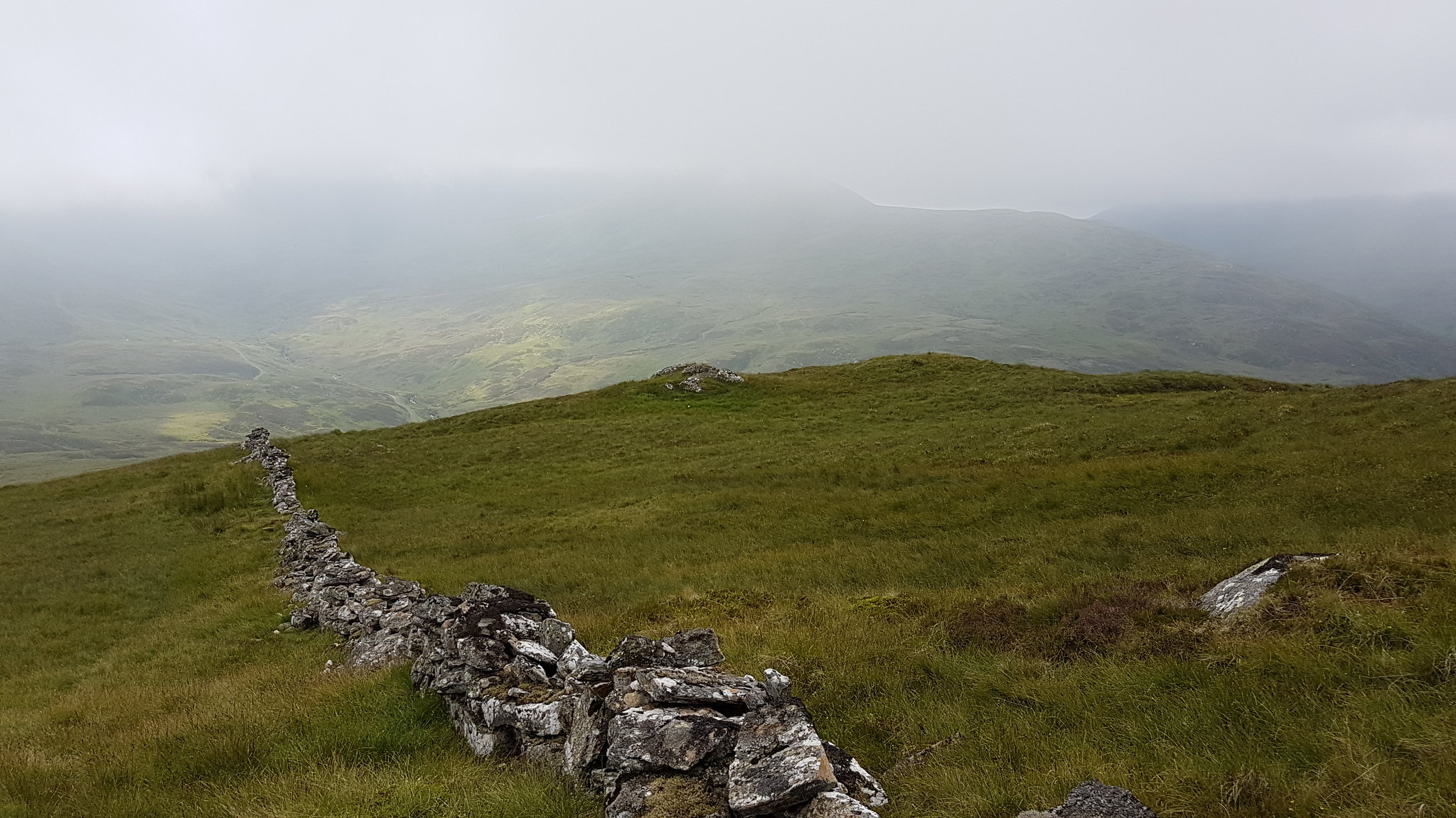 I followed the wall for a short while then cut across the hill a bit to keep in line with my chosen route.
Once out of the cloud visibility obviously improved and the drop off the hill to the road was unchallenging. I did get a glimpse of a few deer, excuse the image quality, all photographs taken on my phone.
 A few deer.
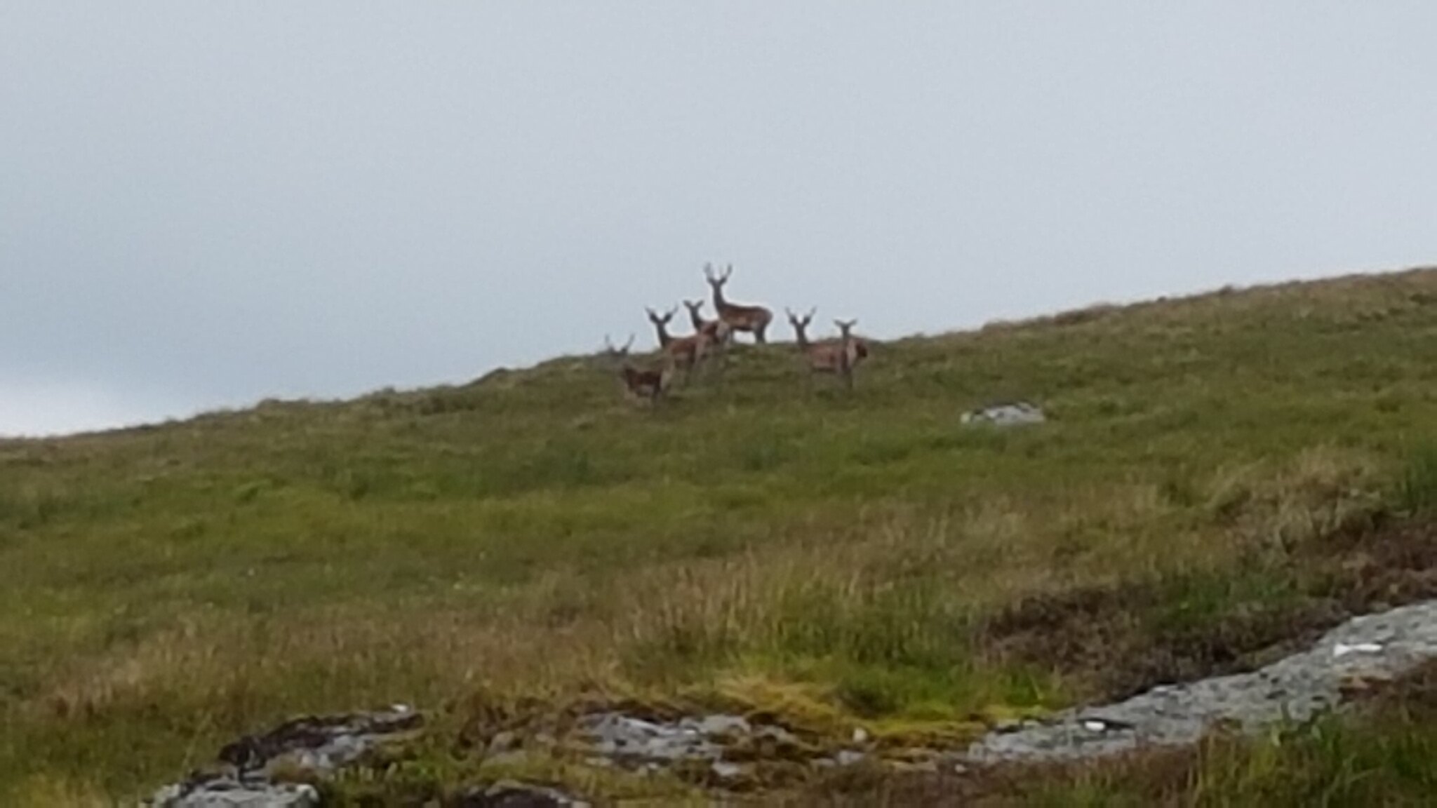 Zoomed in. It would have been a decent picture if I had a decent camera.
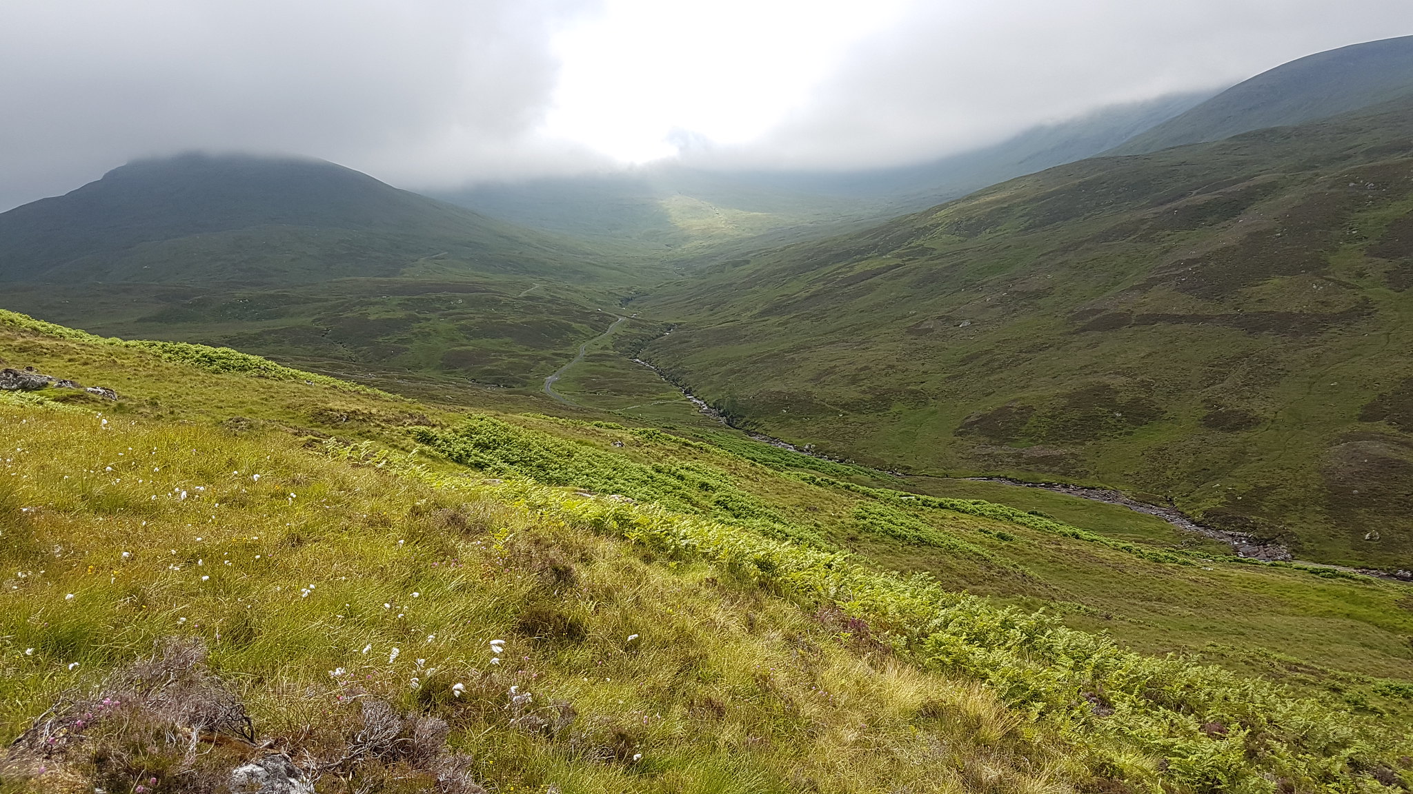 Really hoping the clouds will **** off soon.
Once on the road it was a short drop to the burn and it's just a matter of choosing a spot to cross. I elected to scramble across a mini waterfall

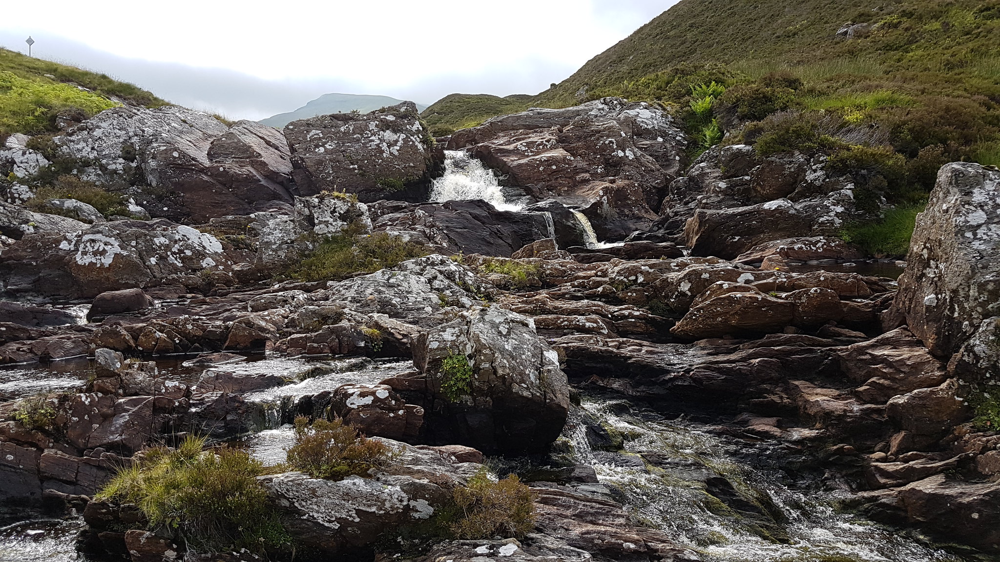 Nice.
Nice.The next bit of the walk was probably the hardest section of the day, a fairly steep pull up onto Meall Buidhe through heather, marshy grass, more heather until finally reaching a decent resting rock for a trusty ham & cheese roll washed down with a glug of Lucazade around Bealach na Cunnieig at 694ft.
The heat was intense but only now in the early afternoon was the sun actual out but the top of my hill and the other hills on the Lawers Range were still smothered by a thick blanket of cloud
While stopped, I took the opertunity to apply suncream generously across my neck, earlobes nose and cheeks. The sun hat was out as were the shades...not the coolest look but it's safe

 looking back to the Corbett...now cloud free I see
:roll:
 The pass to Glen Lyon.
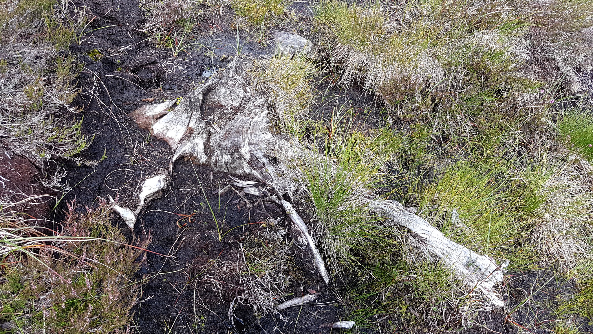 Old tree stumps were plentiful sticking out of the peat.
Now suitably fed but far from refreshed I set off again heading for Meall Glas there's a fair bit of peat hags here and general uncomfortable walking ground to negotiate but once that's out of the way the ground completely changes from marshy hags to rolling green grassy fields it seems like...have I walked to Devon?
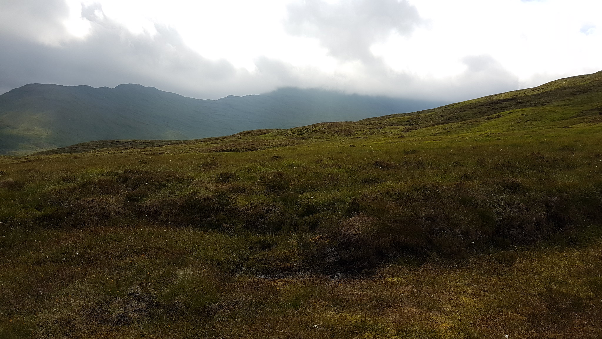 Meall nan Tarmachan still hiding.
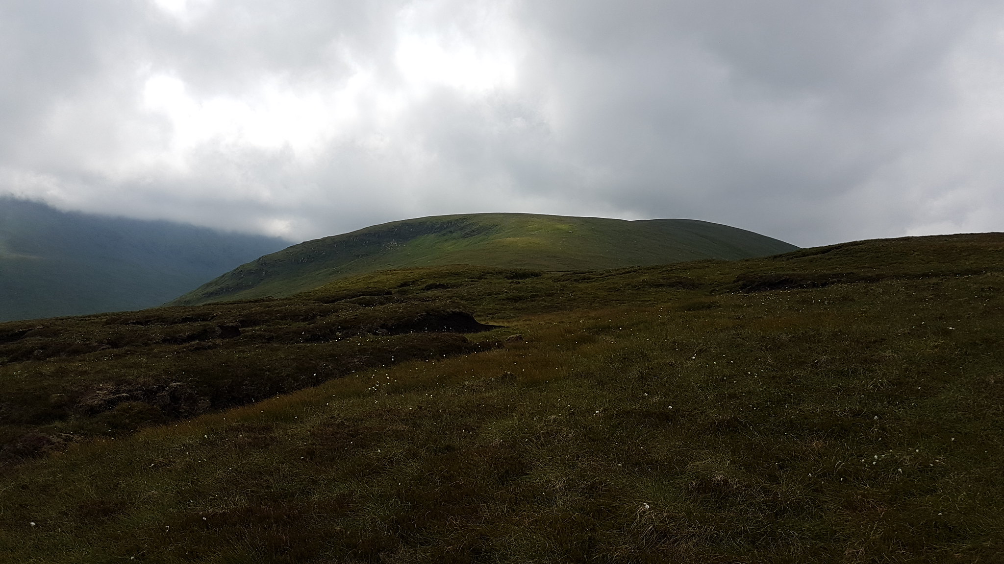 The way ahead.
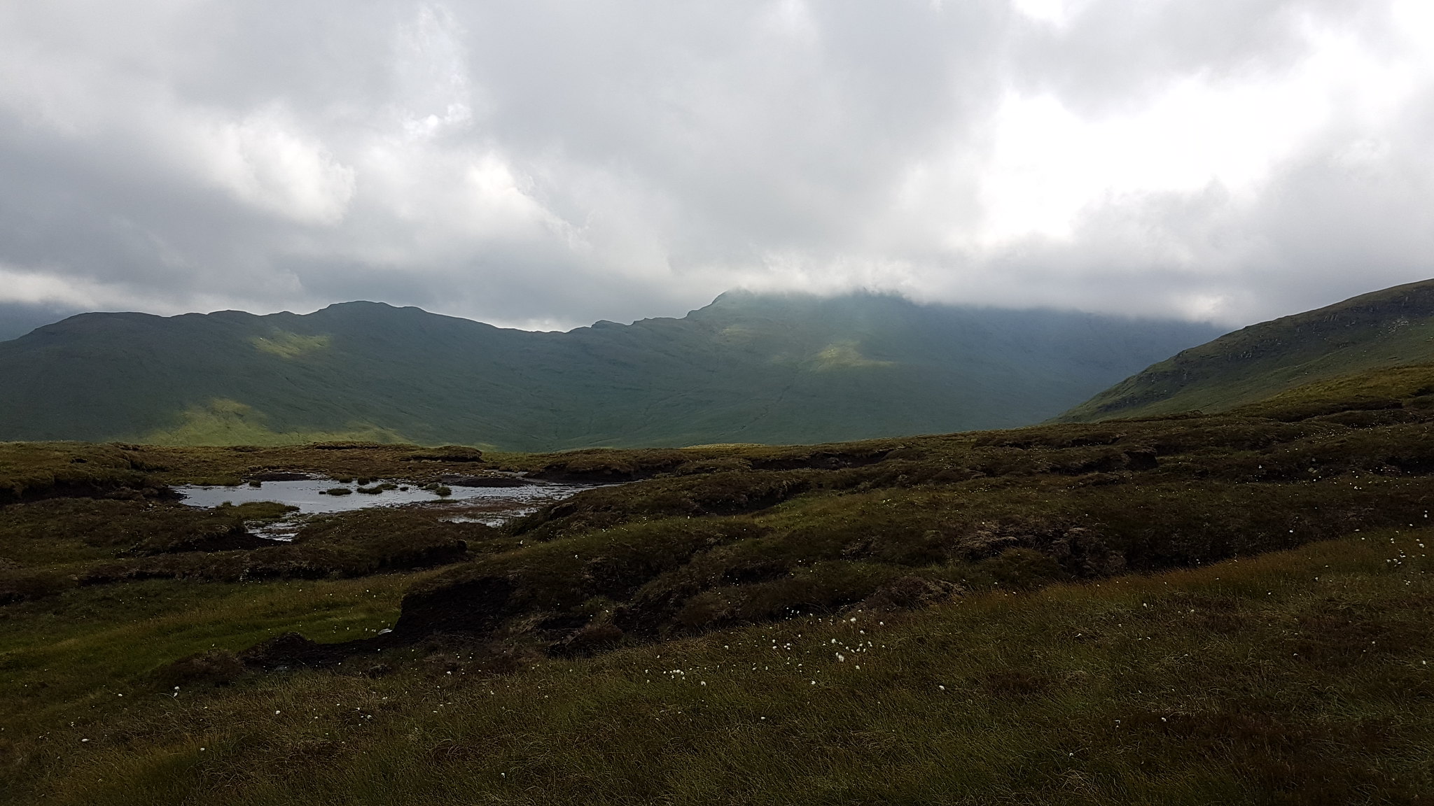 Come on, come out to play!
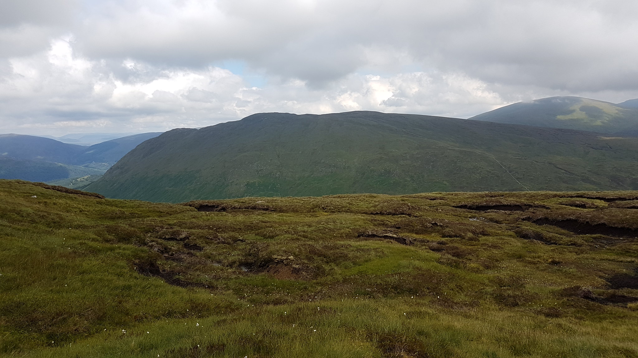 Meall nam Maigheach.
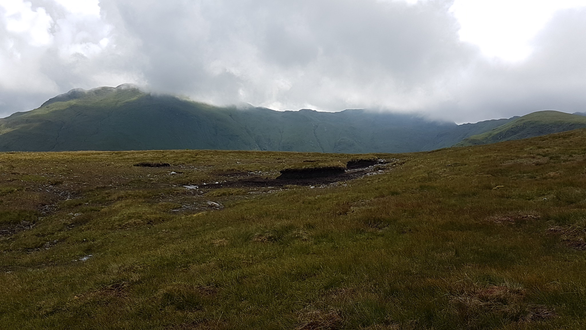 Oh, it's close. You can do it.
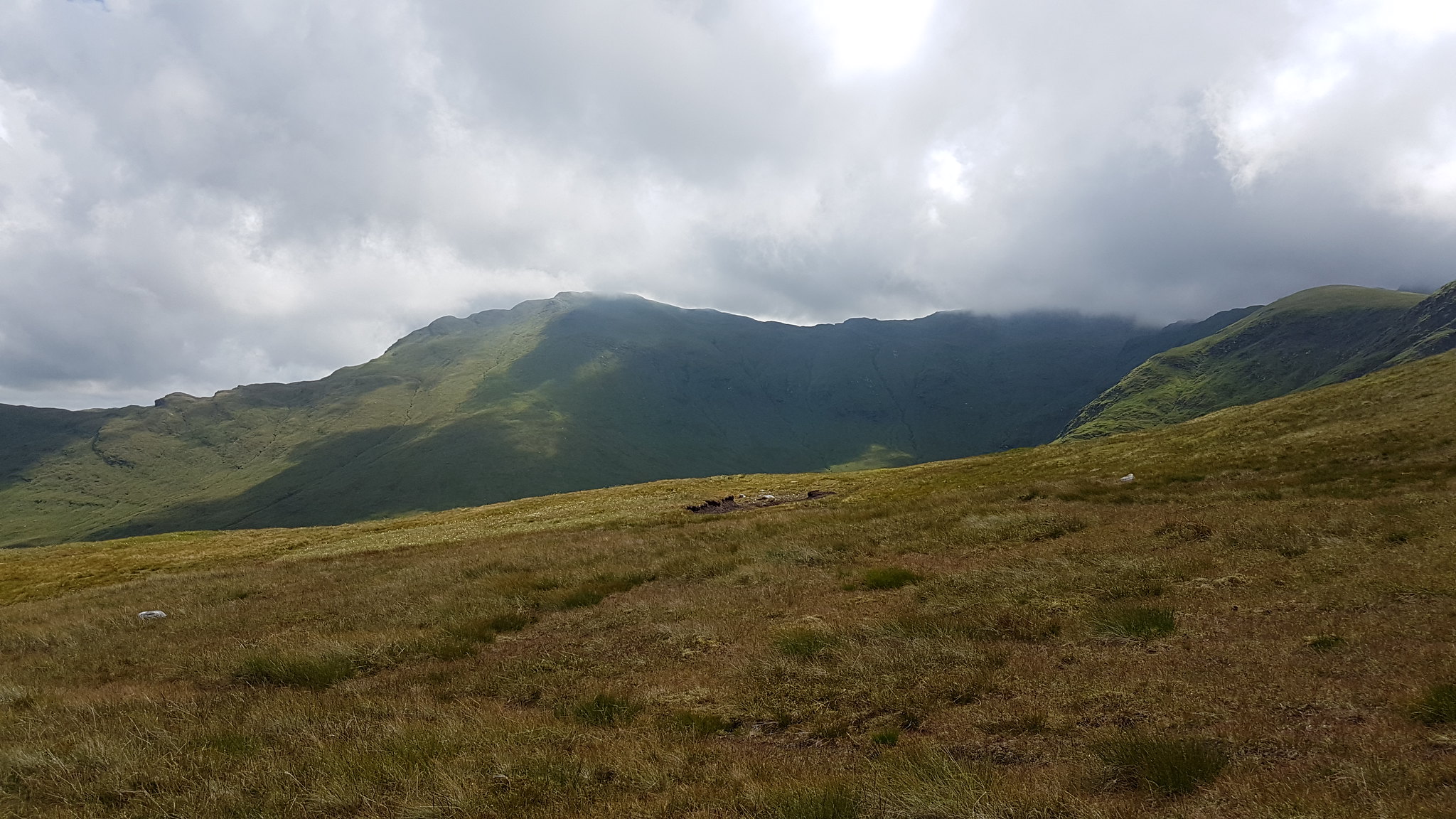 ALMOST!
I bumped into a familiar sight on the hills, no not sheep, those typical metal fence posts. They kept me company as I made my way up the gentle incline. As I hugged the edge or ridge the magnificent coire was looking lush...I guess I wasn't the only one that thought so because there was a huge heard of deer, I can't believe that they went unnoticed by me for so long. It was quite a sight
Looking in the opposite direction Glen Lochy was looking impressive with it's rows of hills lining up like like a guard of honour.
 Can you spot the deer?
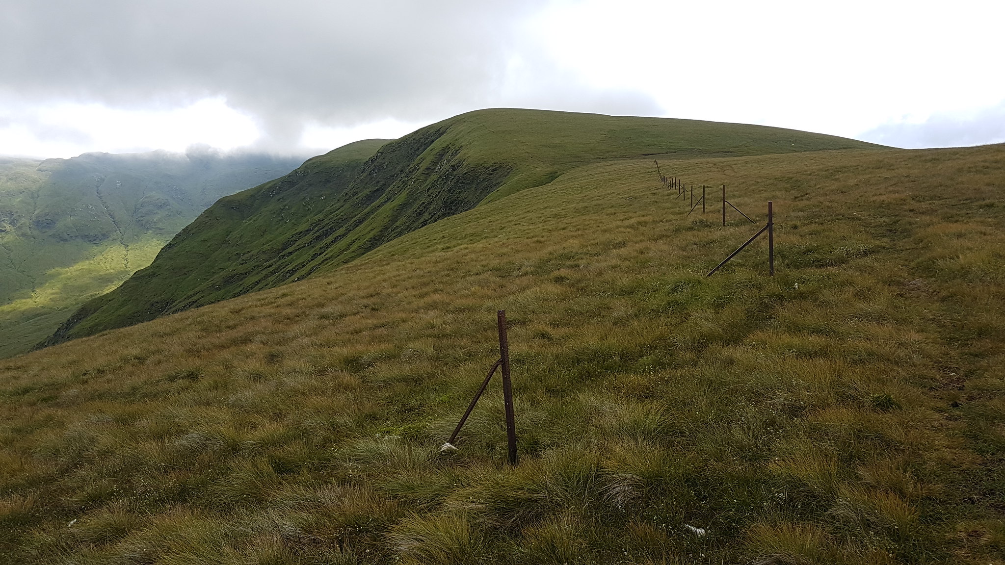 Fence posts.
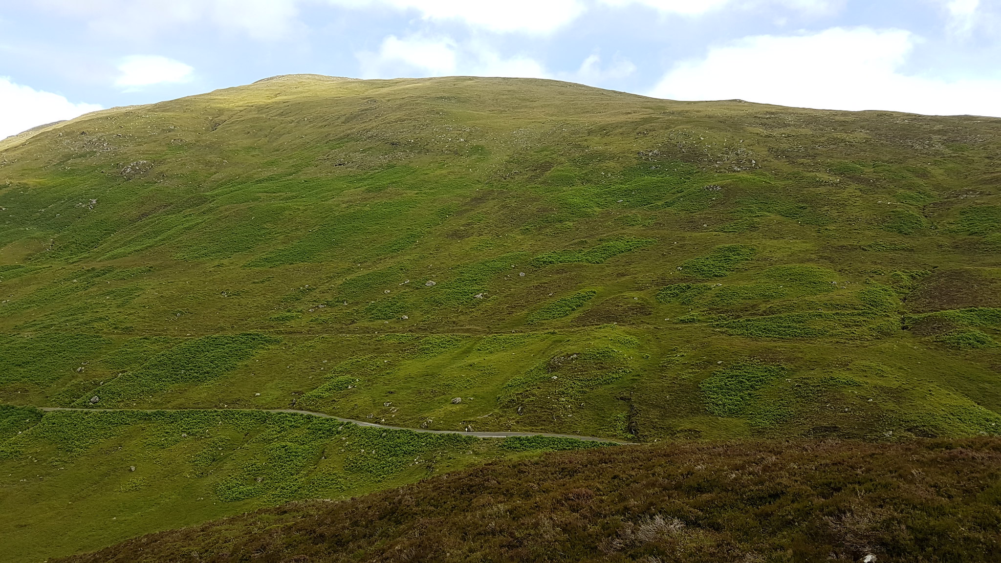
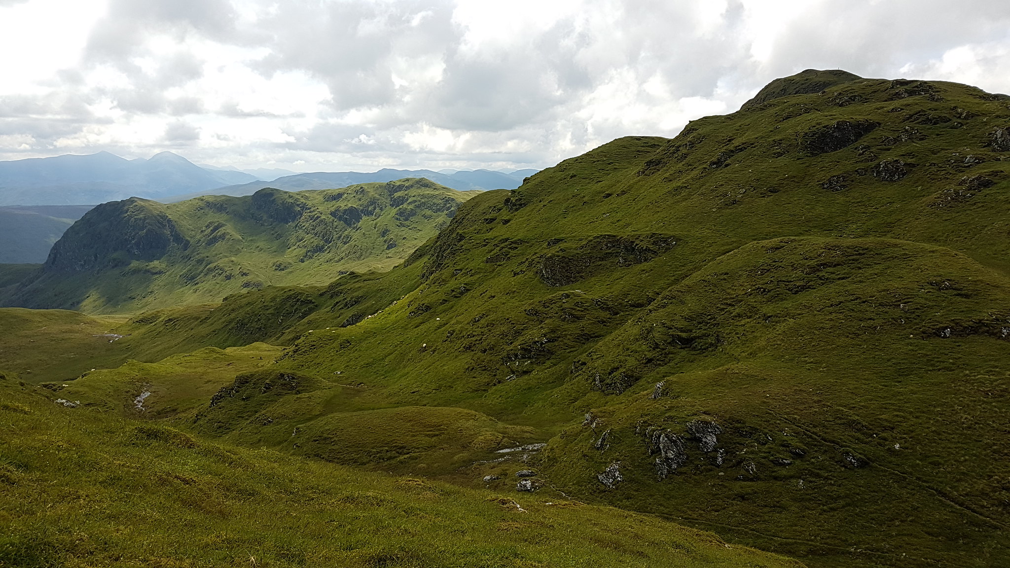
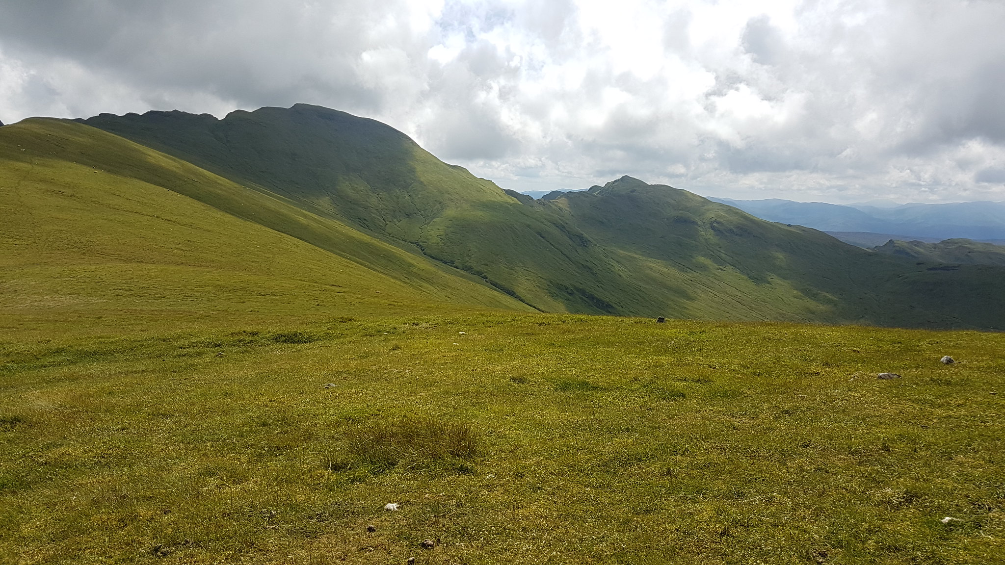 Part of the ridge.
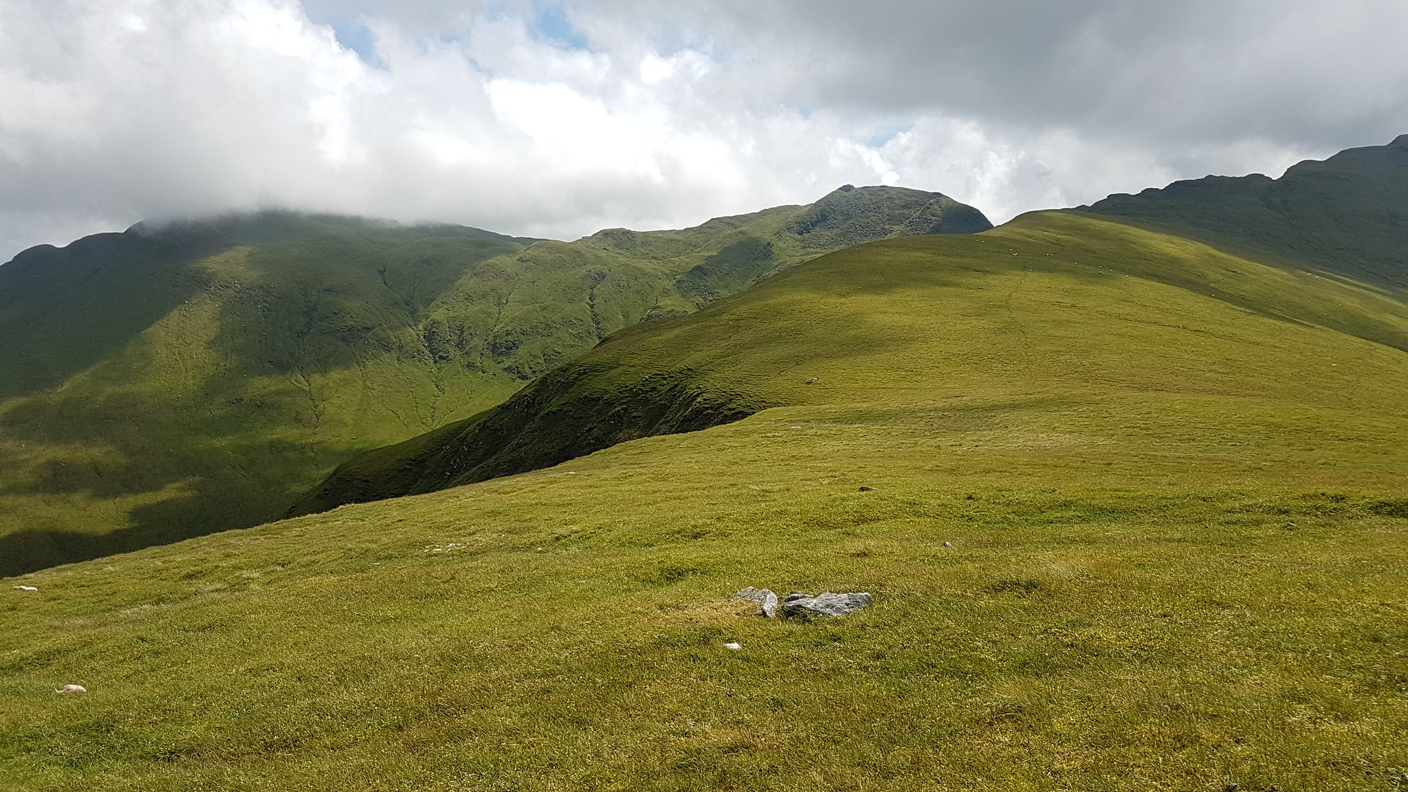 Lush green hills.
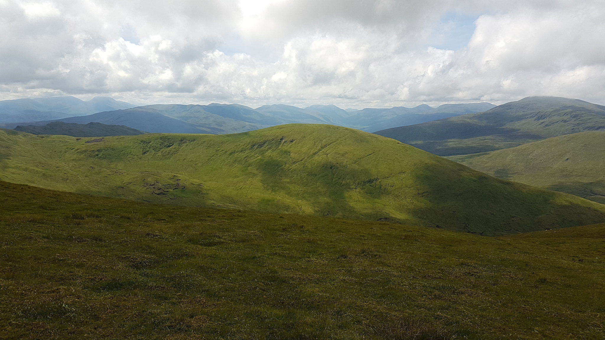 Looking west.
The clouds had finally lifted off the top of my target for the day, only just at this point. I felt mentally energised to make a speedy push for the summit but I can honestly say by this point I was truly feeling it physically, I was shattered. The route isn't even that challenging, on another day I'm sure I could have destroyed this walk but by the time I had reached the tourist path just under the bad step or granny stopper or scrambley bit, I was feeling almost wiped out. I took a five minute break on my feet and captured a wee shot of Killin.
 FINALLY CLEAR! I'm on my way.
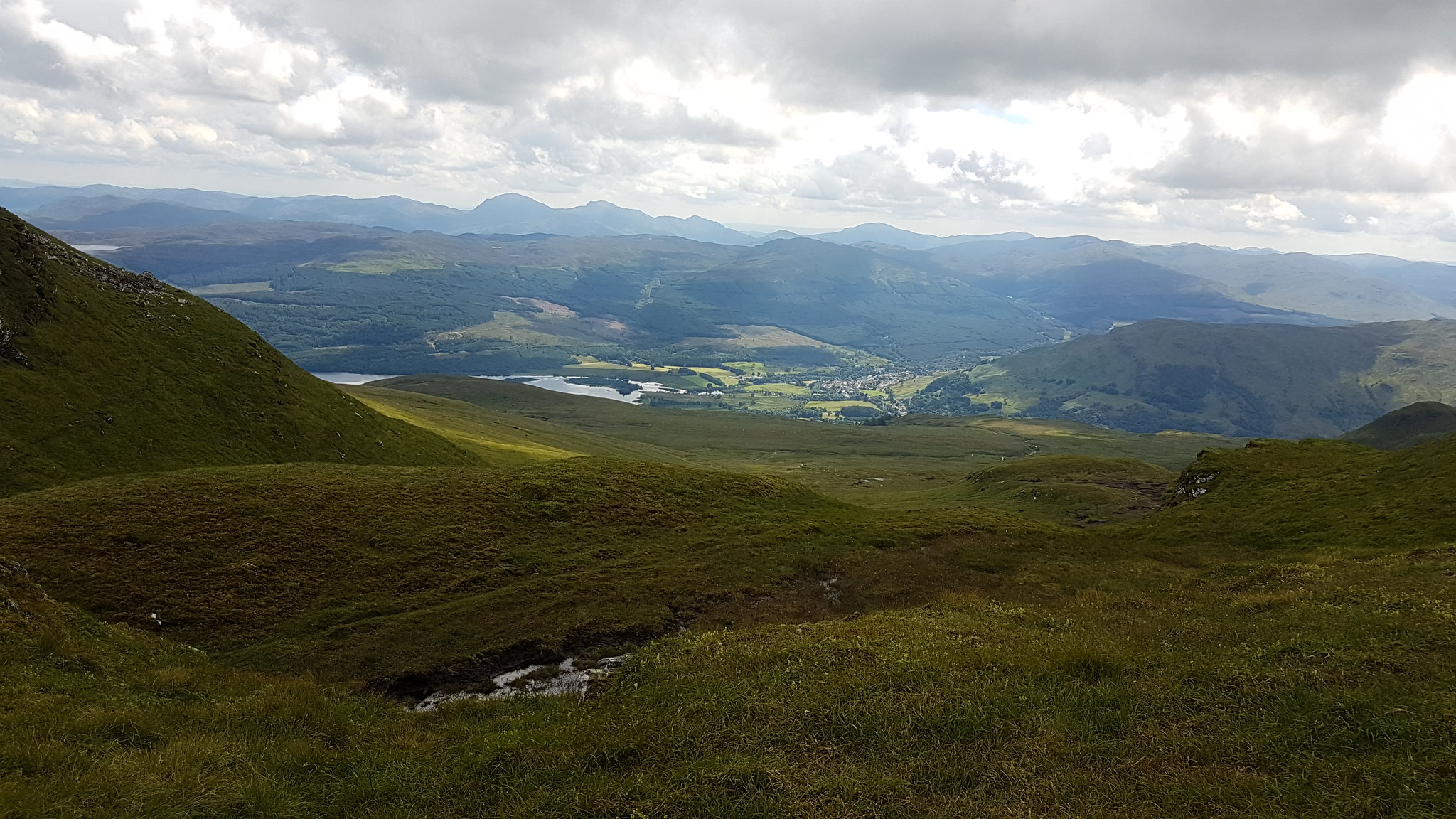 Killin.
I took the bypass route up and continued along the ridge passing only an old couple sitting on the top of Meall Garbh. They asked if I was coming up, I said "no, I'll do it on the way back". I have no idea why I lied as it was never my intention to come back that way. As I passed underneath the summit of Meall Garhb I was wondering if they heard me singing loudly at the top of my voice in a stupid Scottish accent. If they did, I'm sure they must have thought I was completely mental
 Getting there.
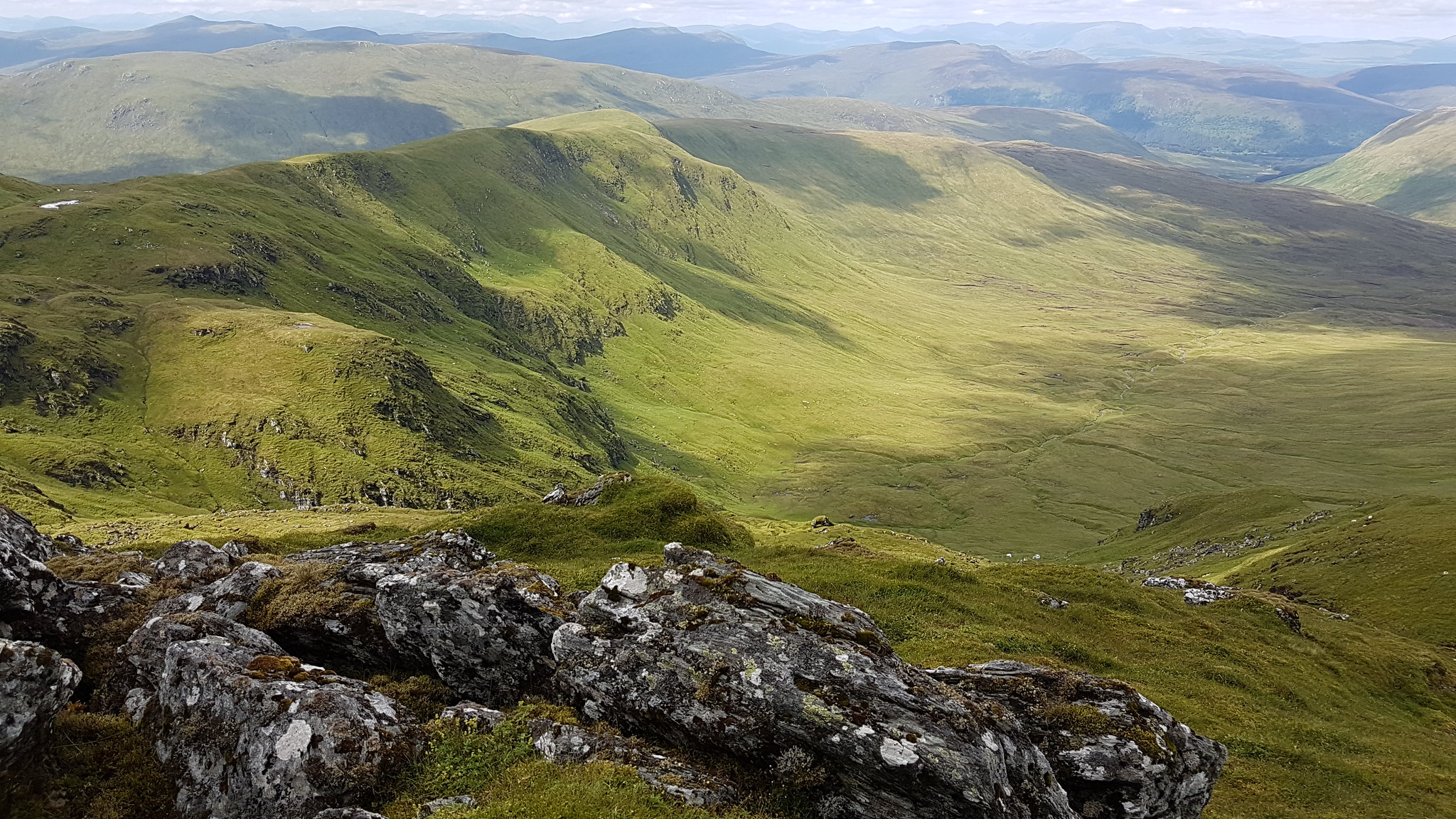 The Coire
I got to the little lochans then from there it's just a case of me pulling my weight up the last series of inclines until the summit is reached, 'I can do this and then it's all down hill from there'. I told myself. Every summit in the area was now cloud free. The first time I've visited the Lawers Range and this to be the case. I made sure to capture some photographic evidence

 See, cloud free
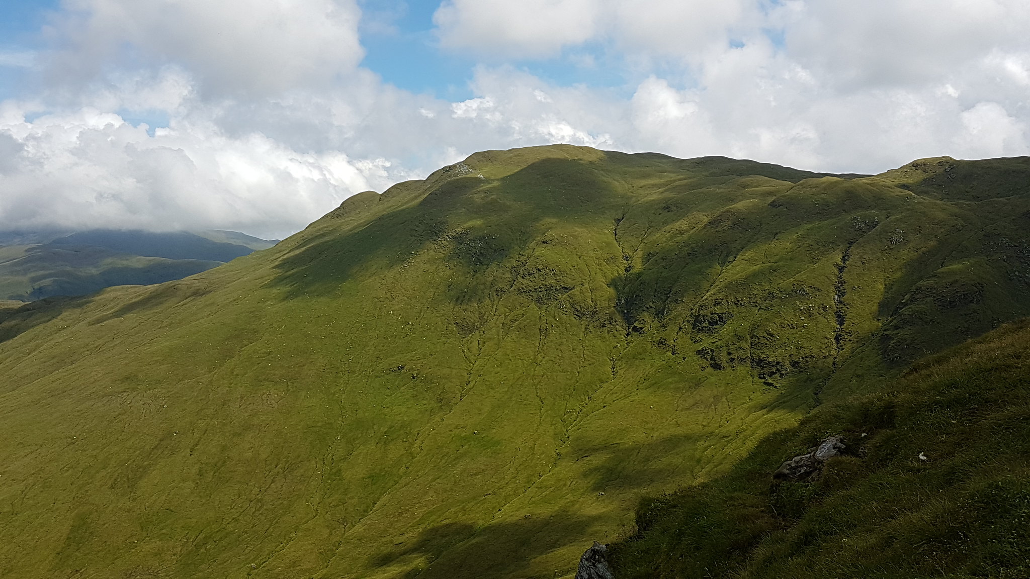
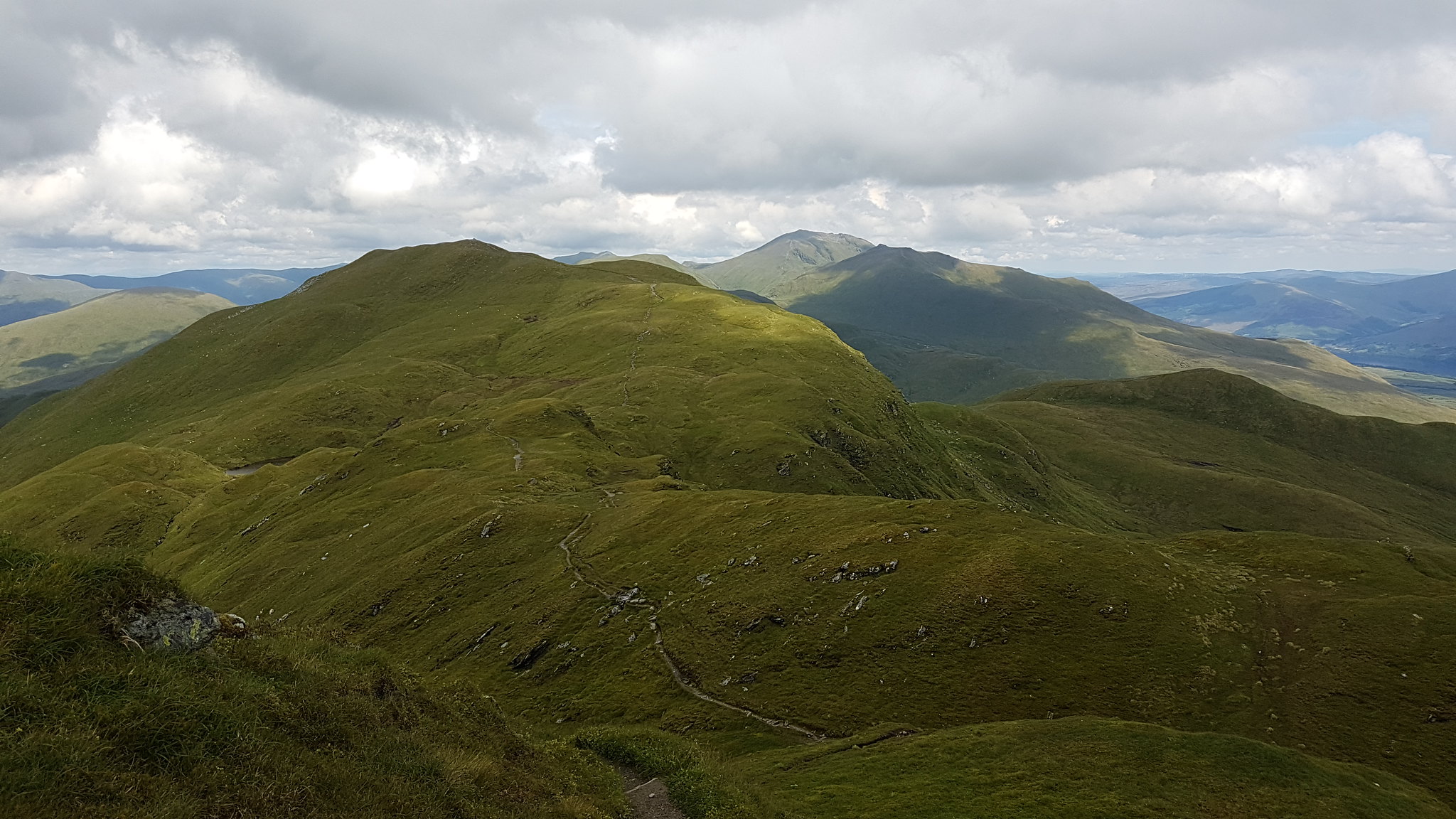
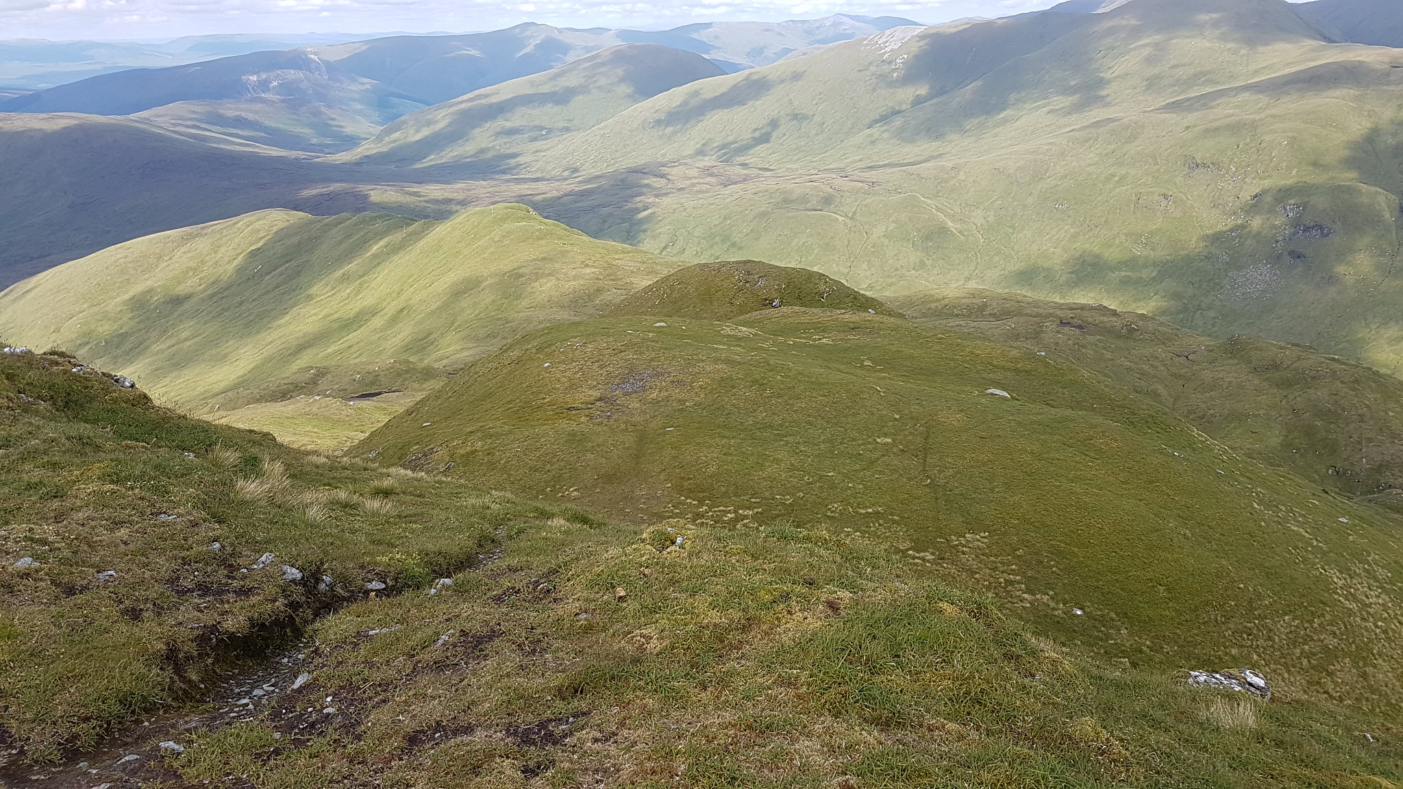
 Now on the ridge path I can see why Meall nan Tarmachan is only a secondary highlight of the hill. Looking along the ridge at all the twists, turns and peaks, the drop offs and craggy bits I felt like I was definitely missing out on a decent experience.
 Maybe I should have walked the ridge.
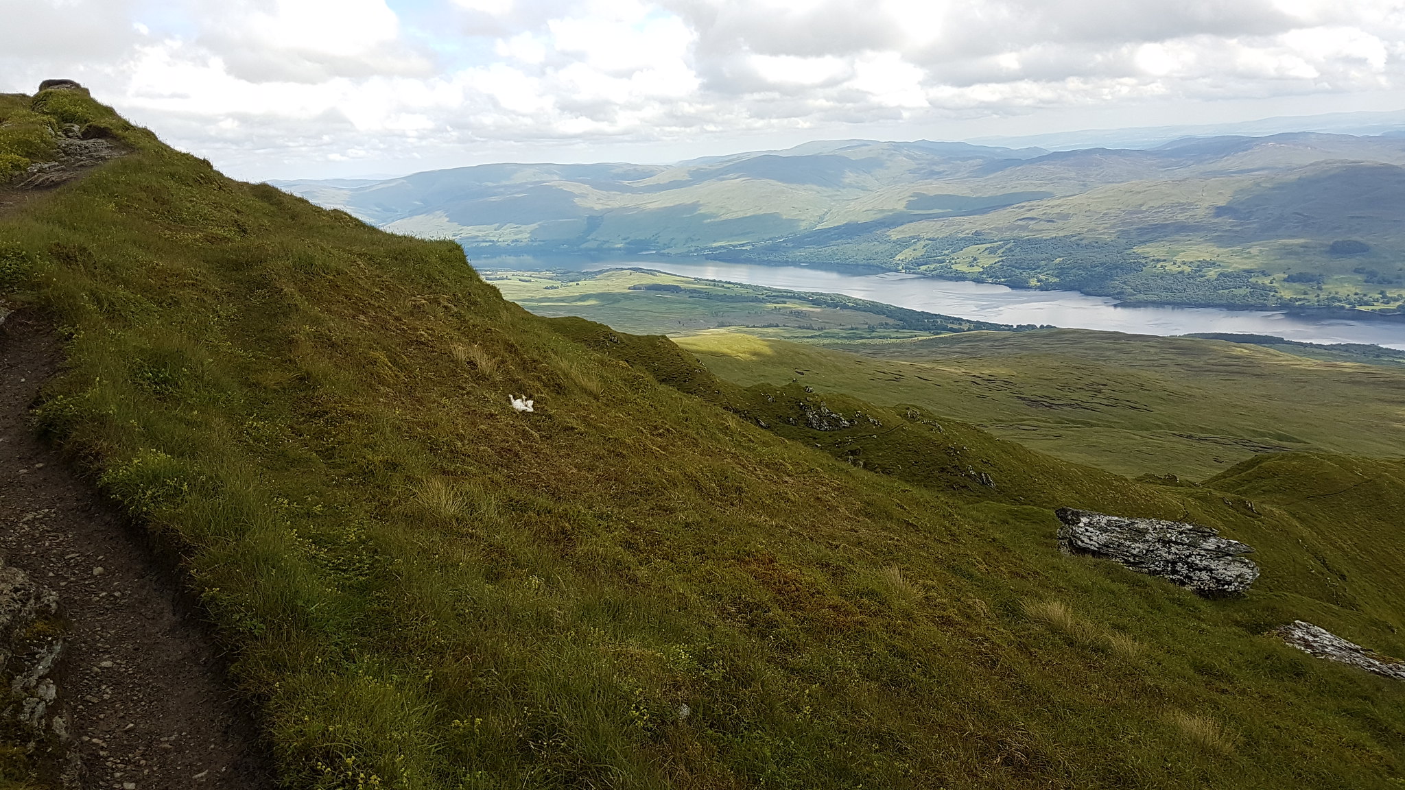 Loch Tay.Looking back over the way I've travelled thus far.
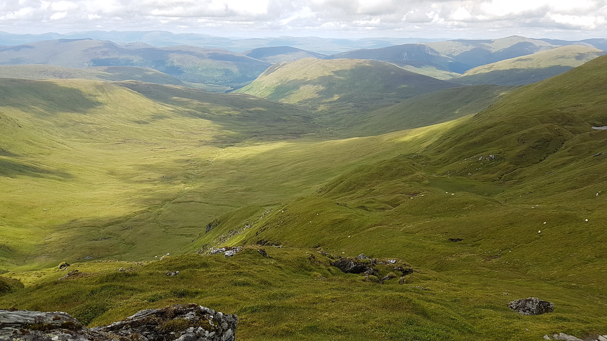 Meall nam Maigheach looks so far away at this point.
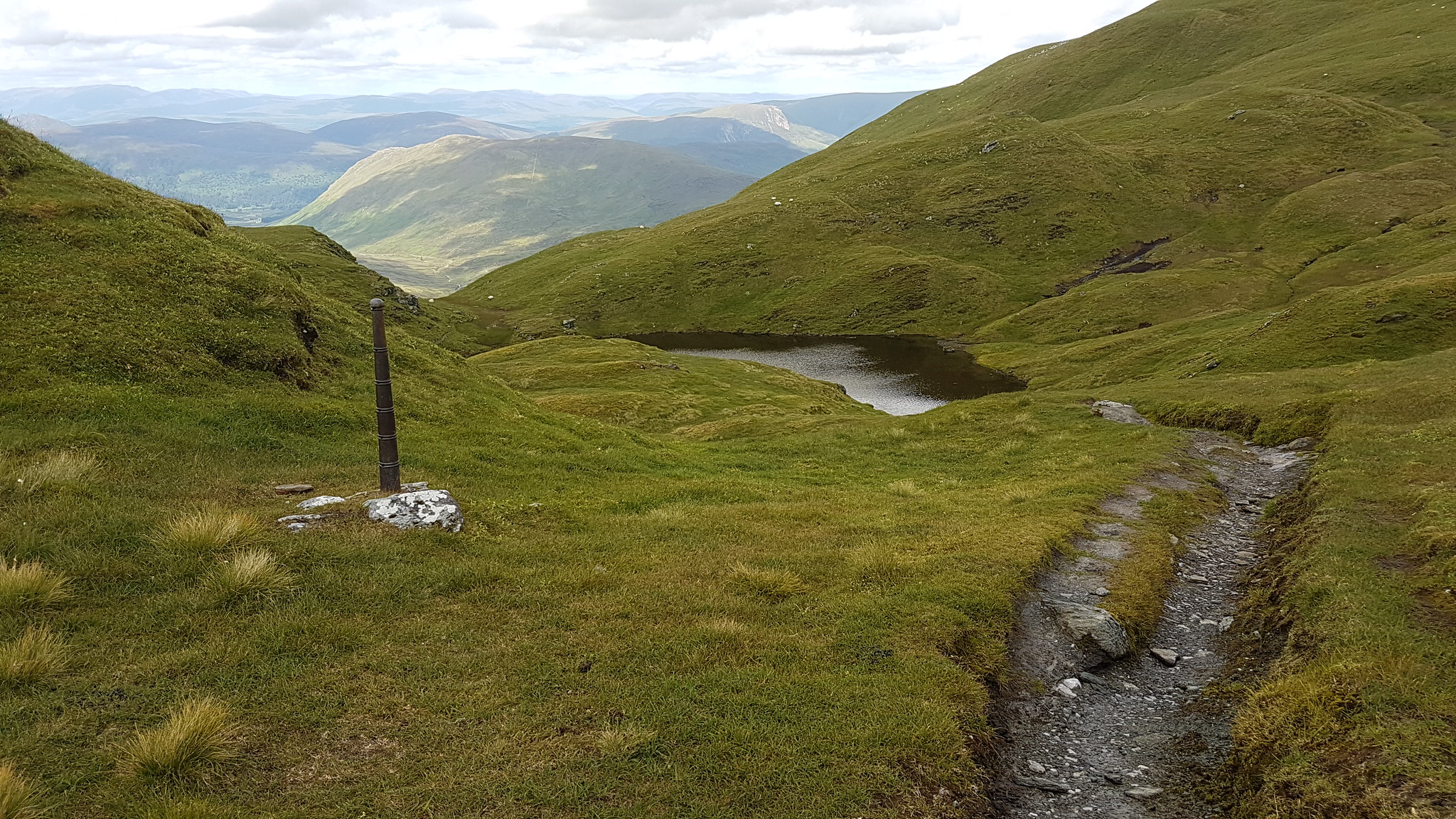 A resting post?
 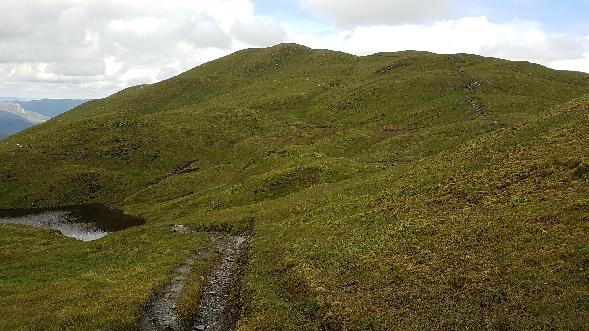 The summit from the pools.
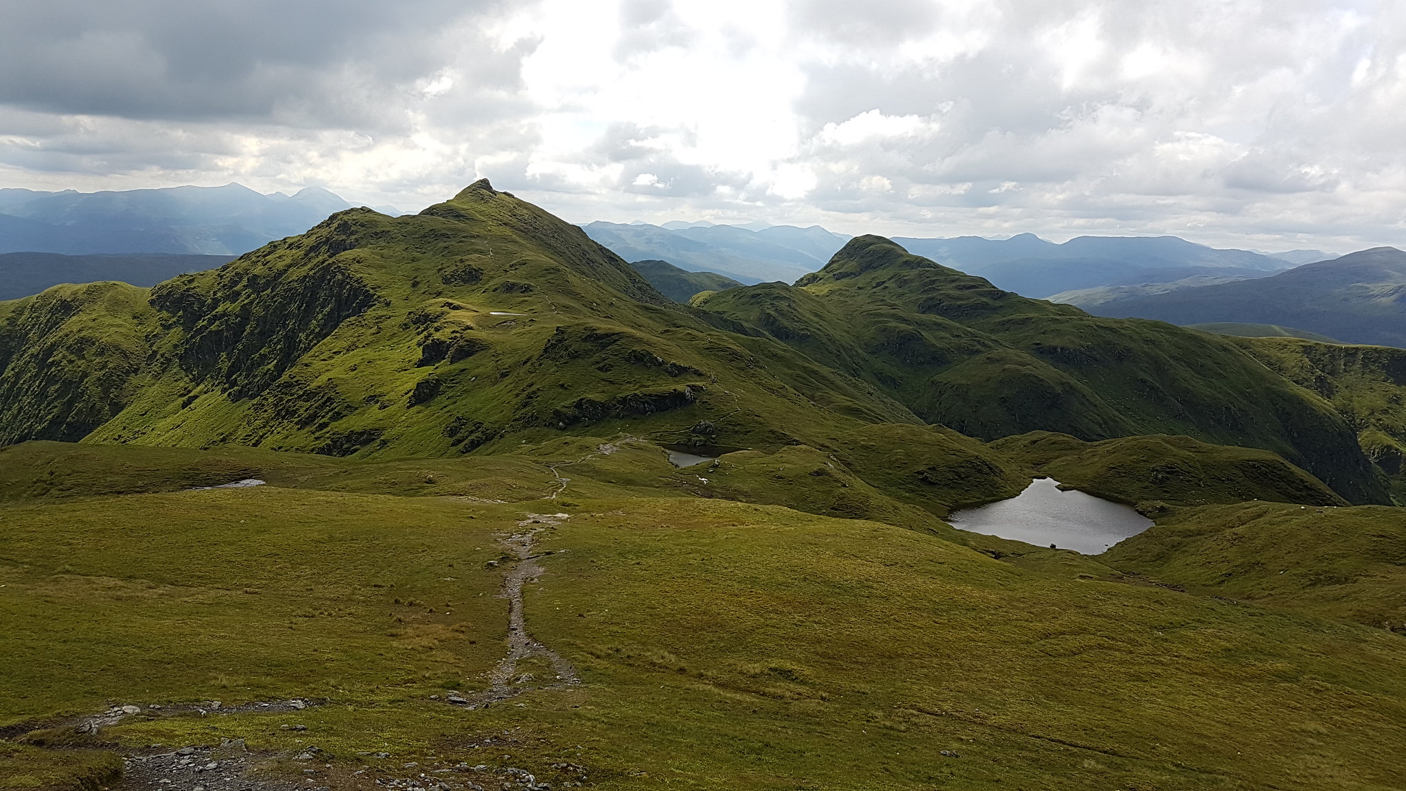 Nice, even if I do say so myself
:angel:
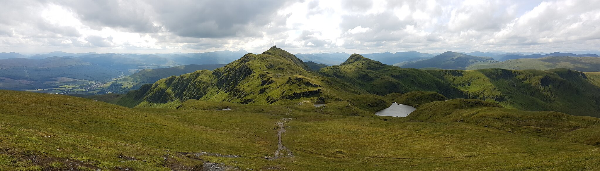 Panorama...
 The final push to the summit.
The summit was still completely cloud free when I arrived and better yet people free. The sun was blazing down but the air felt like treacle, sweat wasn't evaporating fast enough from the surface of my synthetic clothing leaving me horiddly moist.
I took it the cracking views, snapped a few pics and rested. Not feeling the strongest, I was hoping for an easy decent...
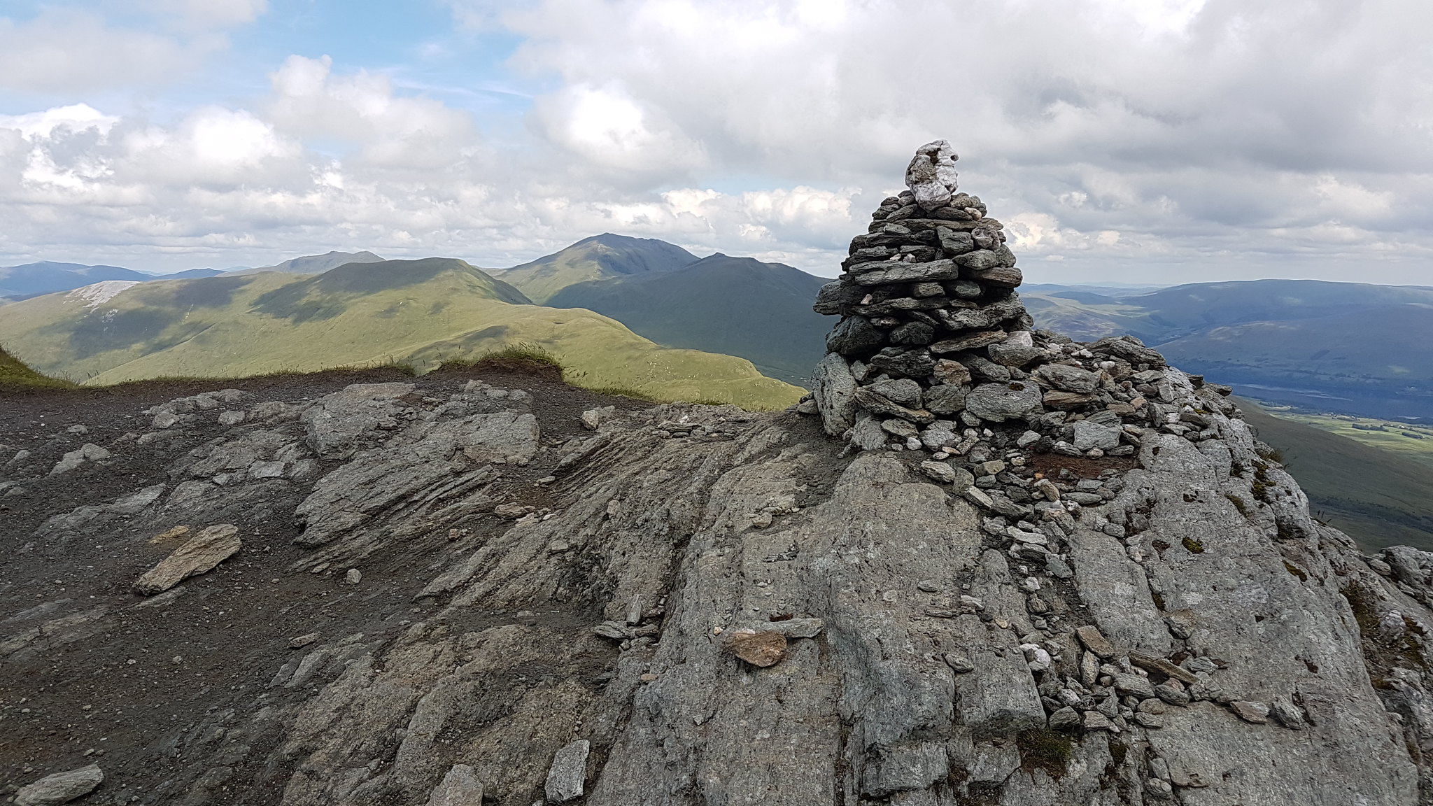 The summit cairn looking over to Ben Lawers.
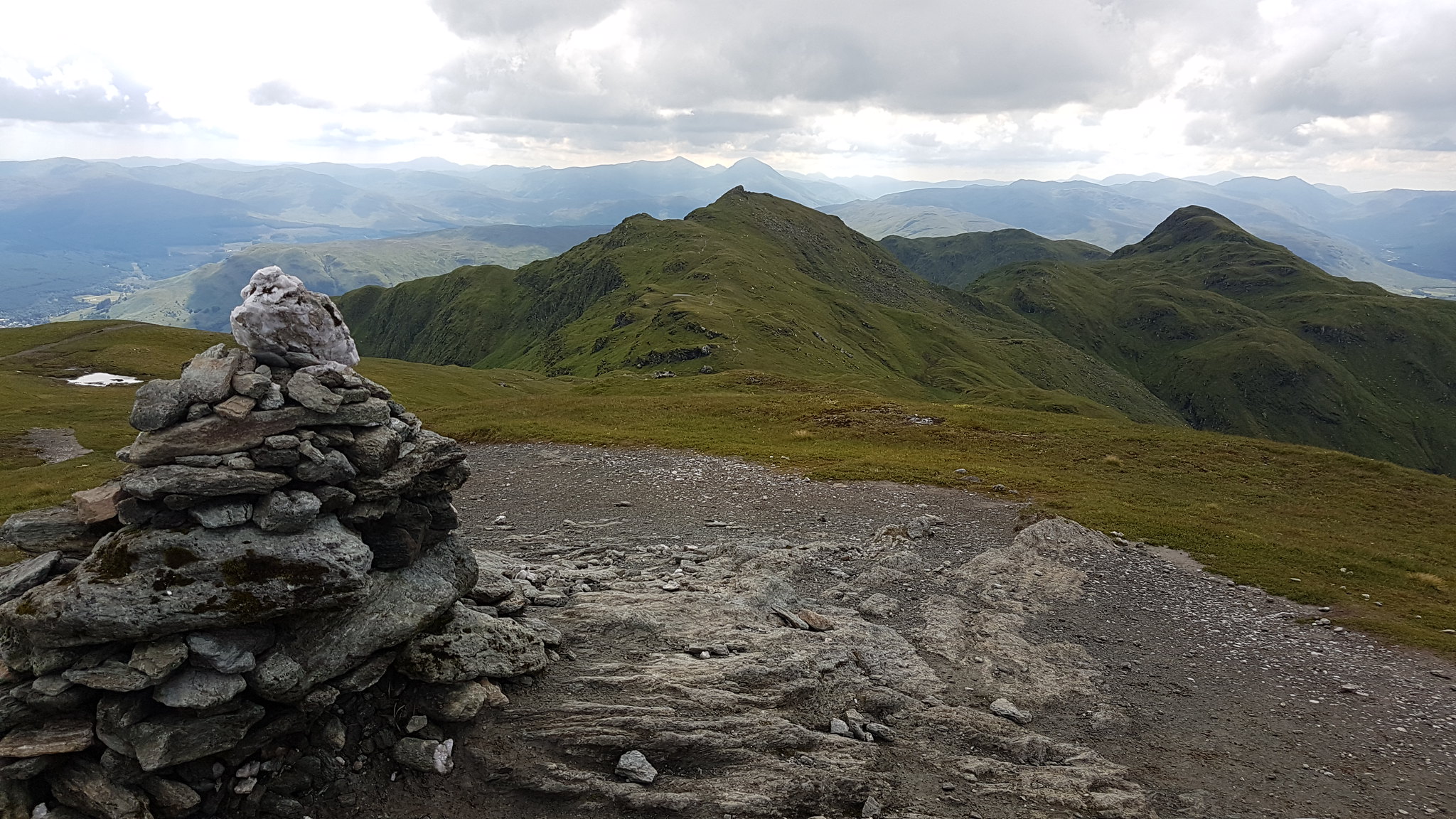 Looking over the ridge.
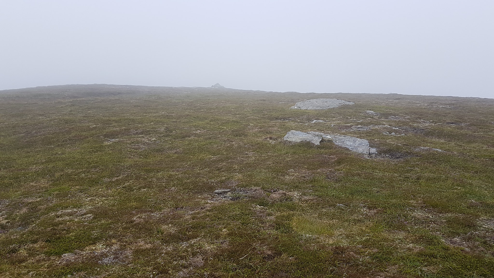
I nipped over the small flat top to scope out the way down. The tourist path looked very tempting but I didn't fancy the walk back up that road at the end of it so I'm sticking with the original plan.
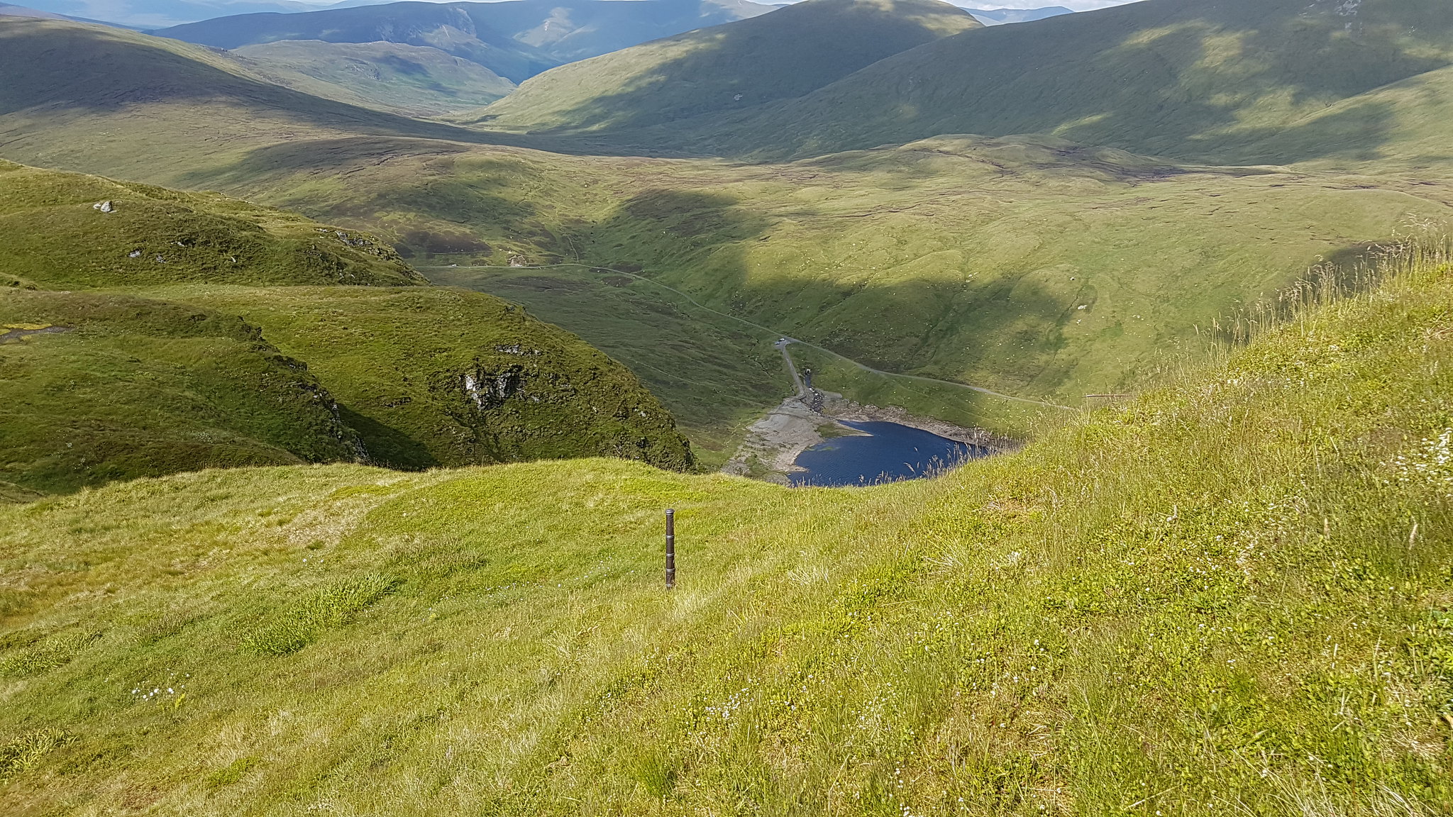
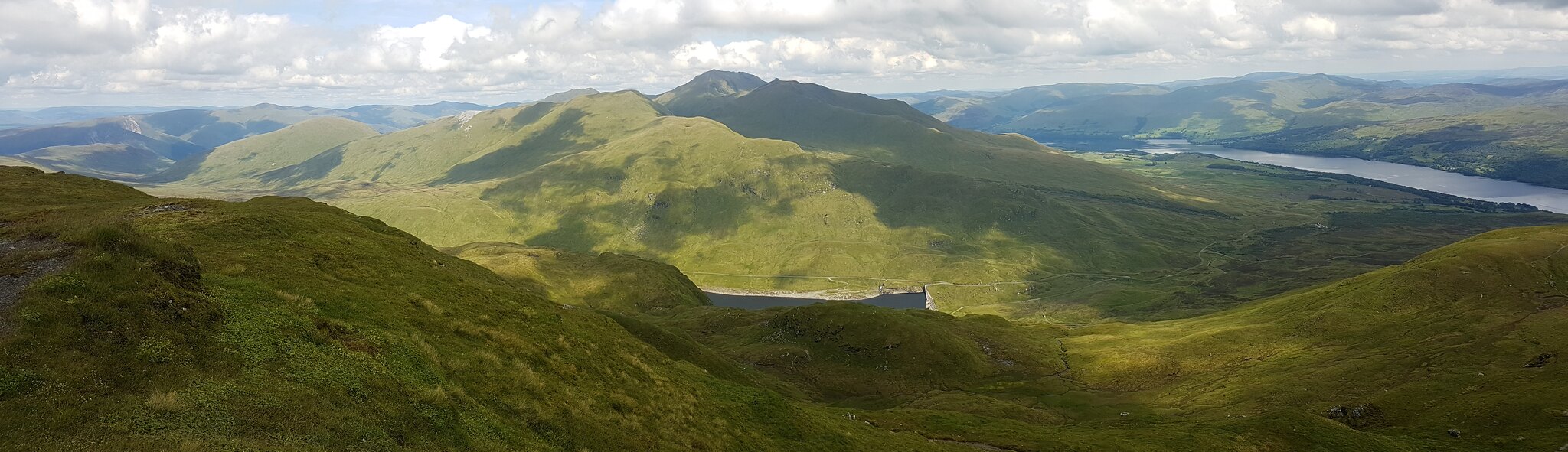 The dam.
The time had come for me to leave this rock, tired and sore my body was begging me to stop. Each step down was traumatic, the walk had really taken it out off me my back was in excruciating pain, my knees were feeling it but my skin was feeling it the worst. With only half of each hand exposed to the sun (trying to avoid sunburn) I had kept everything else covered up but my skin felt like I was on fire, around my ankles and forehead especially. Oh how I was regretting this walk now.
The initial drop off the summit was fine, down a few rolling grassy hills but soon the ground changed to slightly steeper wet grassy hills then getting steeper again, wetter and now boggy. On more than one occasion I'd lost my footing having to move sharply to prevent a fall and each time I did so a jarring pain would shoot up my back. It was
painfully obvious now that the relatively ease on which I was hoping this decent would have was a false.
Small and large cliffs needed to be negotiated with care which generally meant a walk around them with short slippery steep sections as a reward. I was aiming to get to a deer fence that look relatively new but I had one last obstacle to contend with...I'd manage to work my was down to a rather large puddle (it's not worth calling it a Lochan) which was particularly boggy. The soft ground was sapping the last of my strength but this short stretch of bog would be the last of the day thankfully.
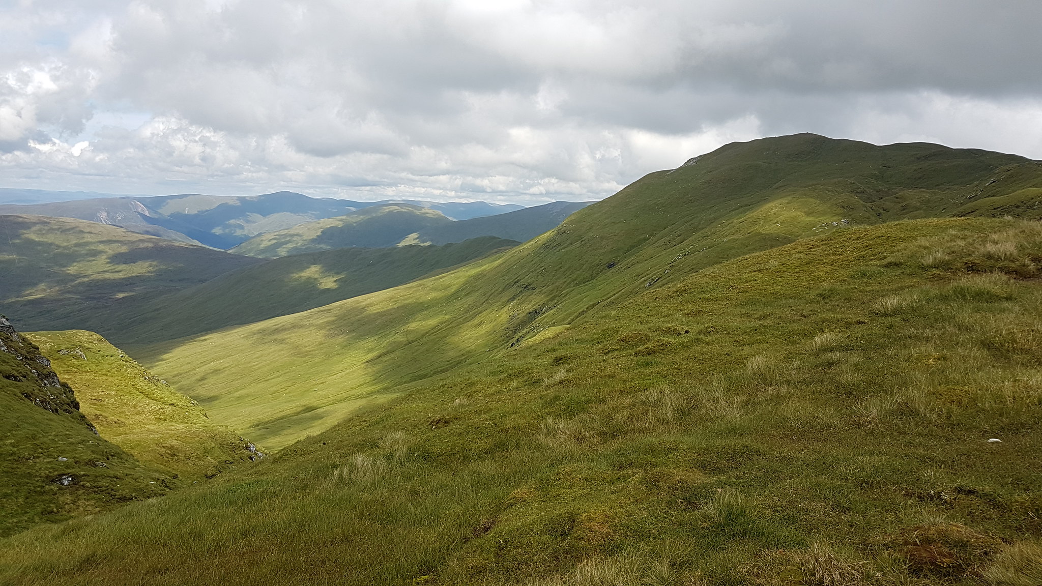
 The first part of the return was fairly standard.
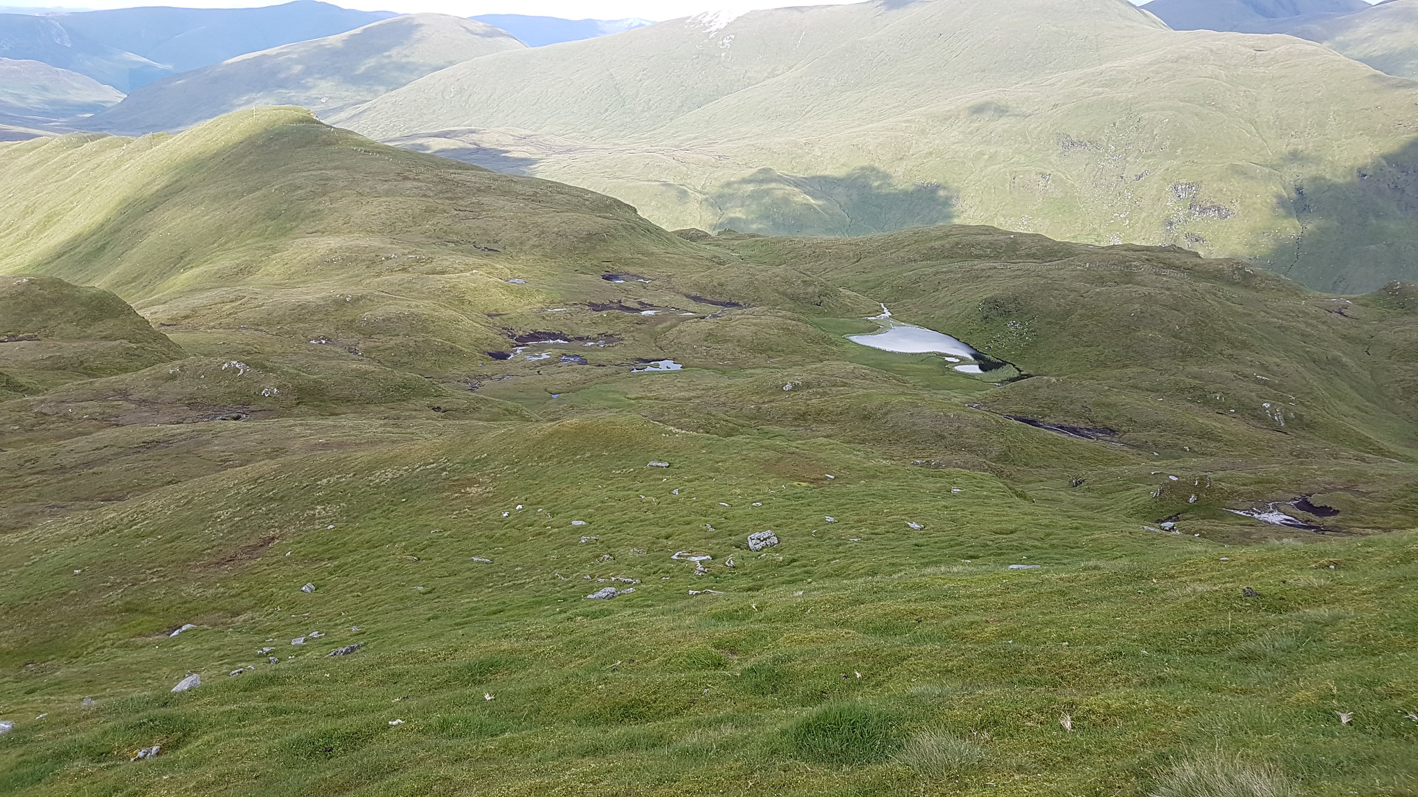 The next part was steep and more complicated then expected.
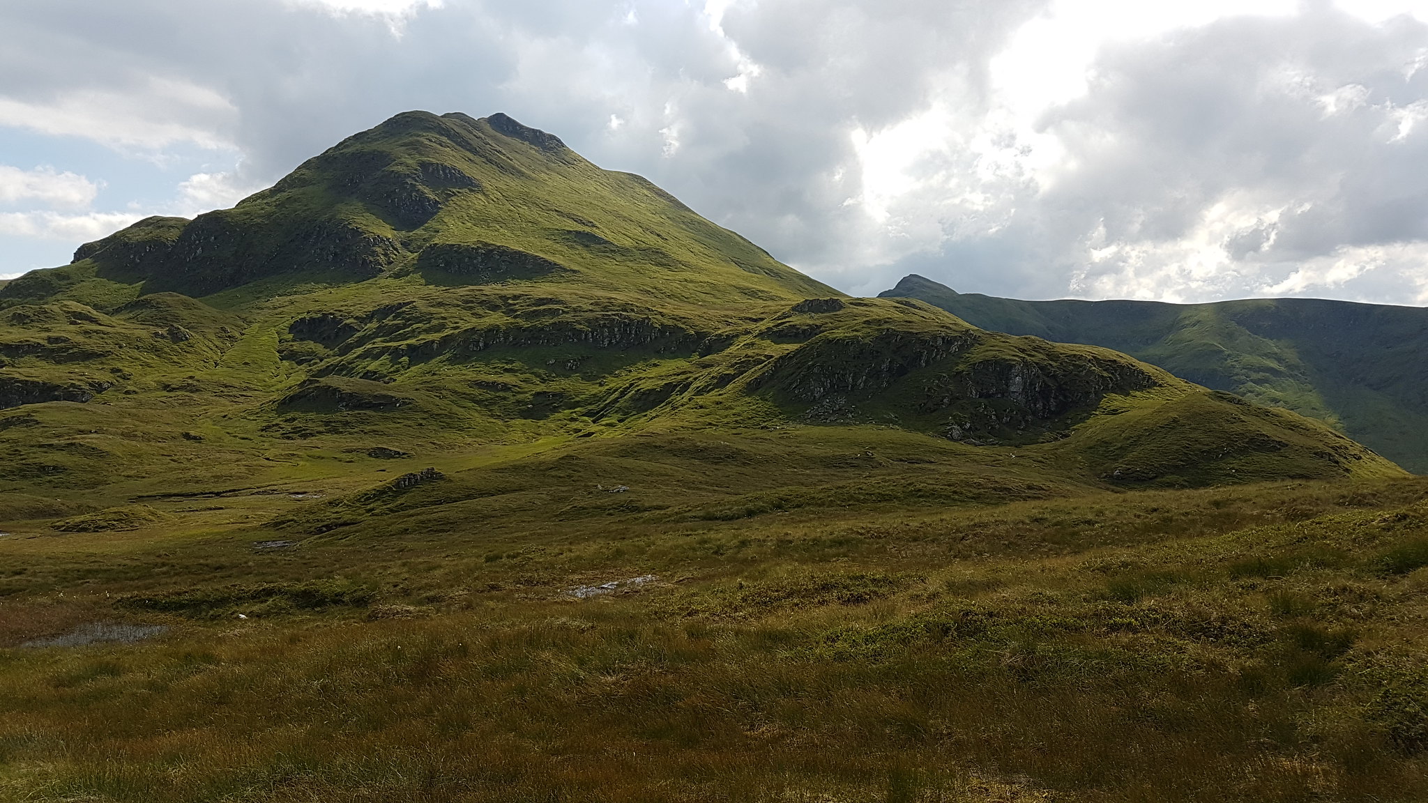 Looking back at where I've just come from.
Once the Lochan was behind me the ground was firm and bobbly with long grass that reminds me of seaweed
There's a cruel incline to the stile, one of many along this electrified fence and once I reached it I climbed to the top step, plonked my ass on the platform. What a great place to have another roll, only my second meal stop of the day. Part of the problem with the heat is that my appetite is non existent...it's just a pity it's not hot more often and maybe I wouldn't be a land whale:lol:
I stuck to the inside of the fence but there's pretty much no path. The grass is long, there's lots of steep ups and downs which can be brutal. I was pleased to see the car even if it looked a million miles away but it gave me a bit of a push but it would have be another 35 minutes before I'd be there.
 The car seemed so close but so far away.
 The loch. Now so clear.
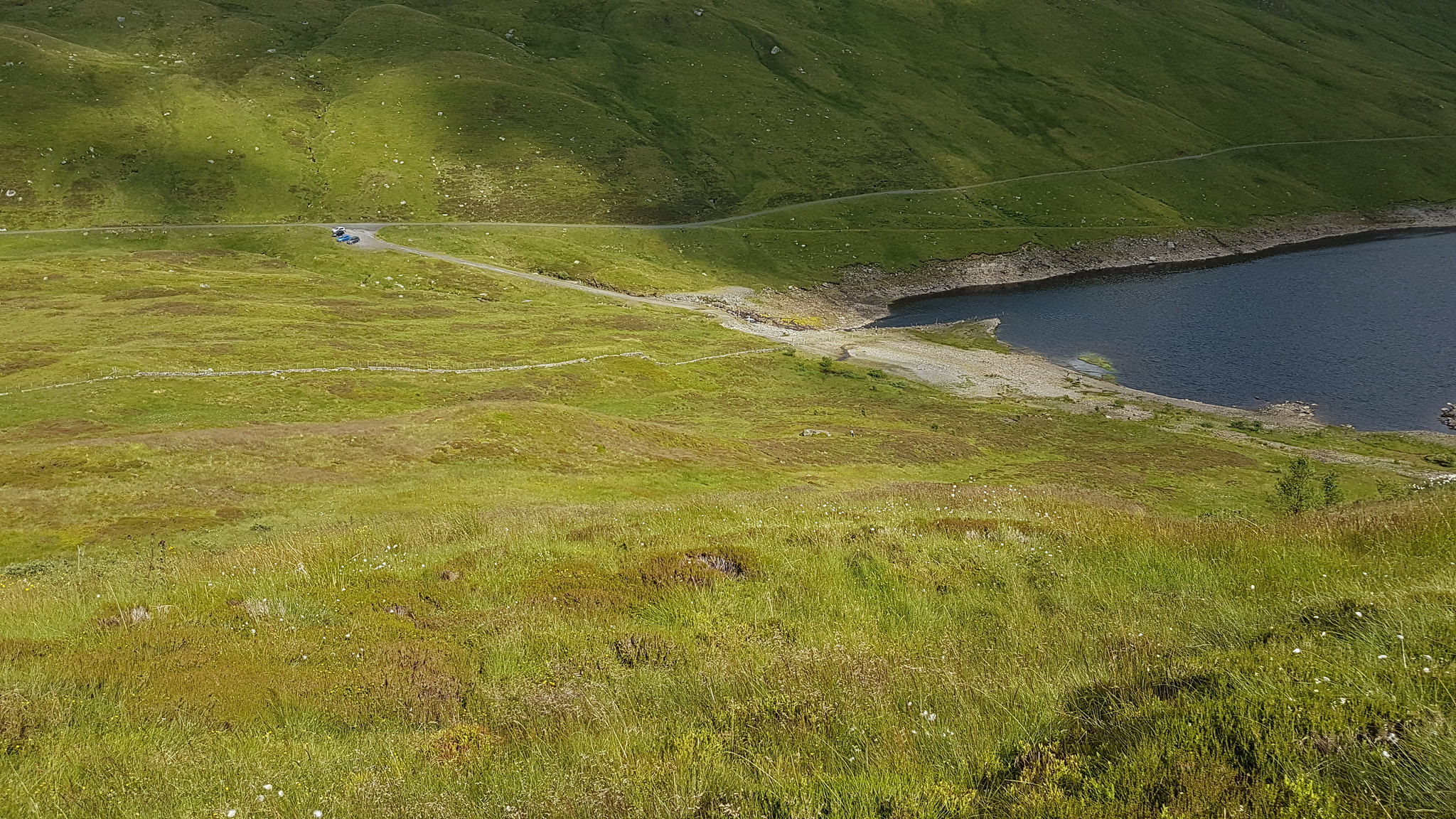 The last picture I took.
 The drive home wasn't so great stuck in traffic between Tarbet and Balloch put an extra hour onto my journey and what made matters worse was the fact I had opened a bottle of Lucozade which exploded all over the place making everything bloody sticky
