free to be able to rate and comment on reports (as well as access 1:25000 mapping).
Corbetts: Askival.
Sub 2000 Marilyns: Oreval, Mullach Mor.
Date: 31/07 & 01/08/2016.
Distance: 16km + 15.5km.
Ascent: 1500m + 620m.
7 hours + 4 hours, 30 minutes.
Weather: Sunday cloud burning off hills to sunshine. Monday warm and sunny.
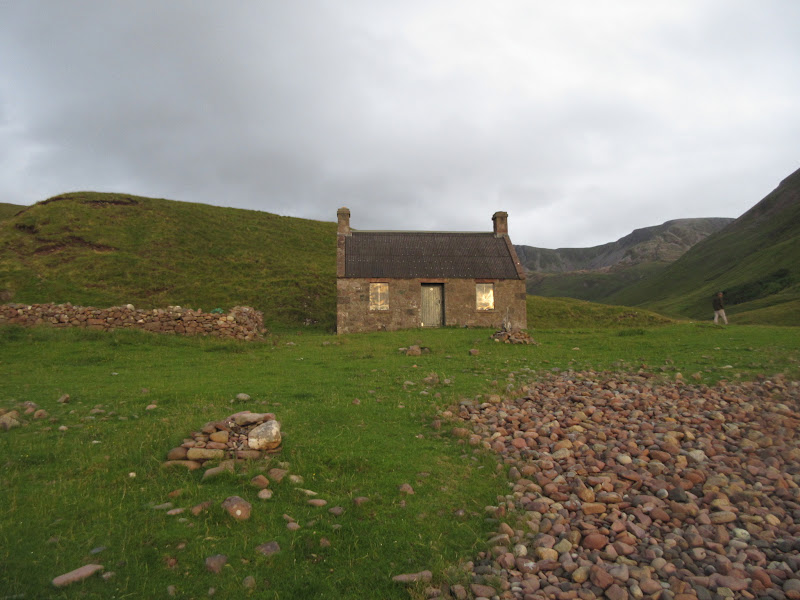
Link to part 1The rain had hammered down on the roof at Dibidil most of the night and was still at it in the morning. I woke up at 7am to the sound of Greg packing up. He'd been unimpressed with yesterday's weather and didn't really fancy another day of it, so he was off home on the Sunday morning ferry. If I'd bothered to go up Askival yesterday, I probably would have joined him too, but instead, he agreed to leave my tent and some other stuff that I'd abandoned in his car in the backpackers hostel in Mallaig.
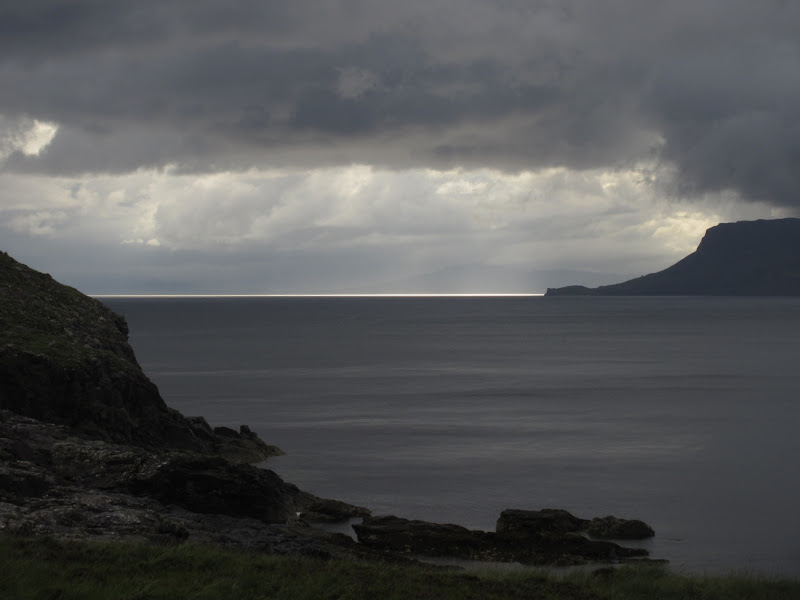
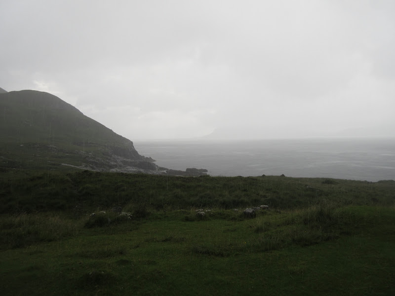
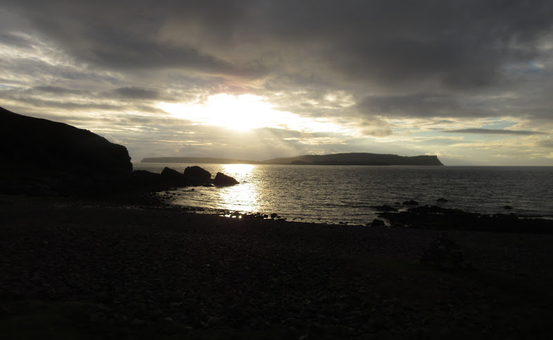
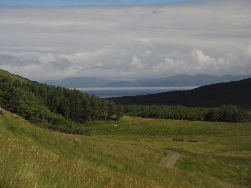
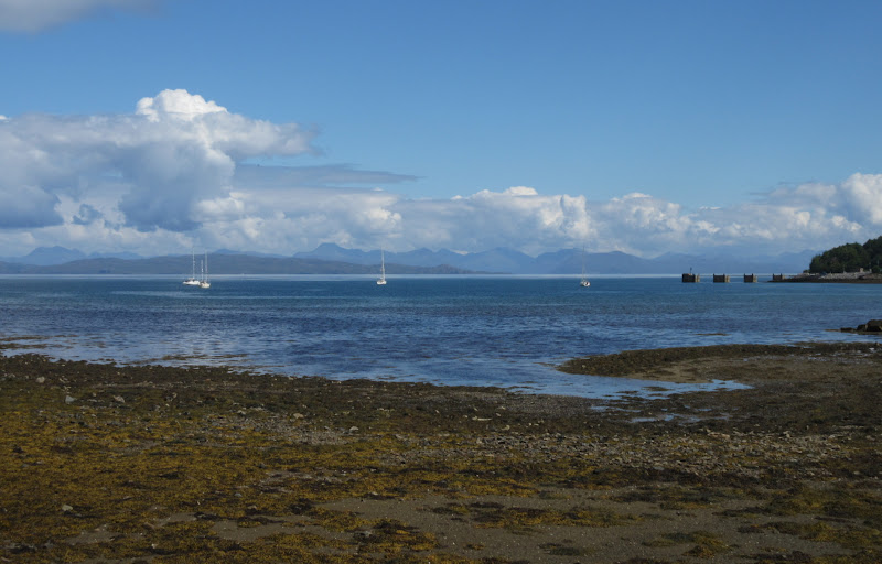
There was the odd spot of sunshine across the sound, but for the most part the weather was foul throughout the morning.
Ribbon of better weather behind Eigg:
…but not for long. Yeuch!
I spent the rest of the morning reading, napping and eating, hoping that the weather would get better. If it cleared by lunchtime, I had more ambitious plans, while if it didn't sort itself out, it would be a quick up and down of Askival and back to Dibidil for another night.
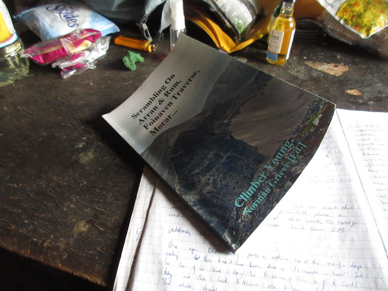
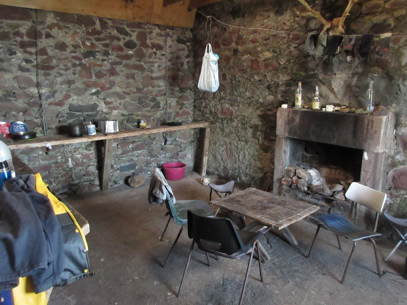
Bothy library - Oor Norm gets everywhere:
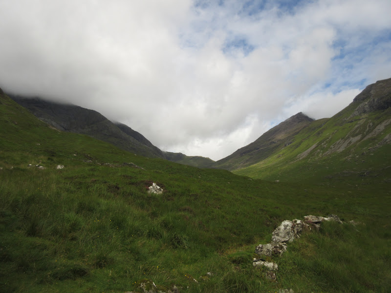
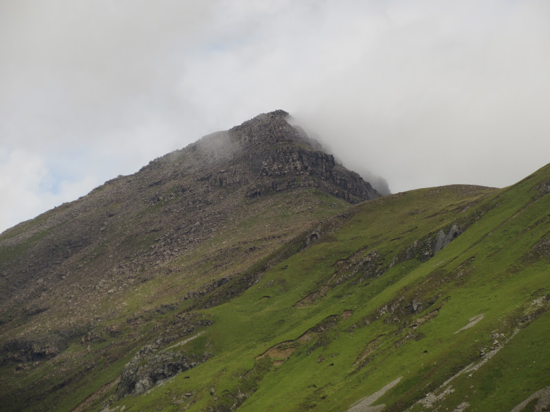
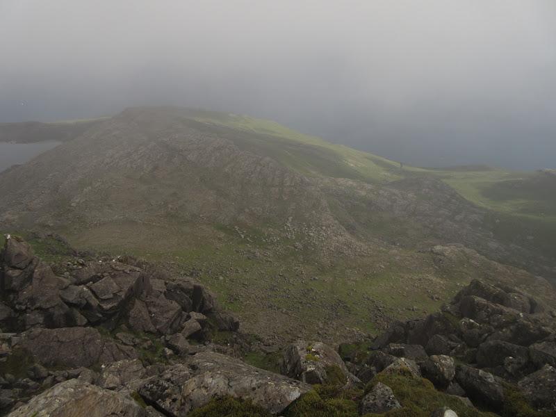
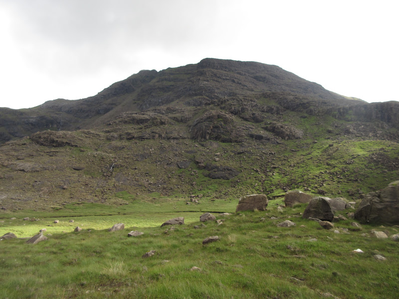
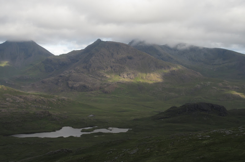
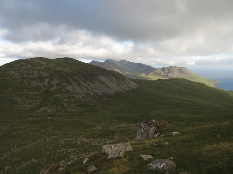
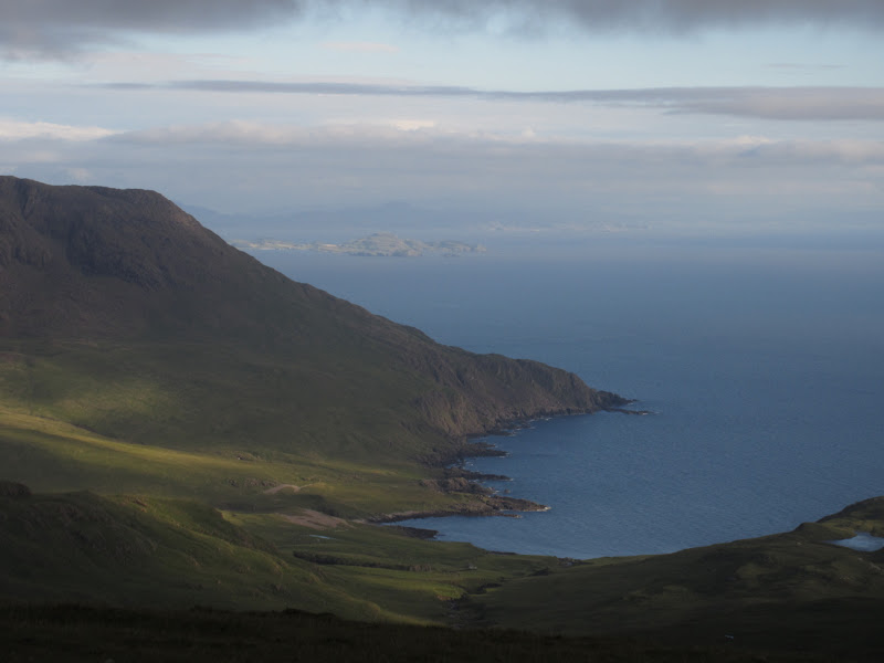
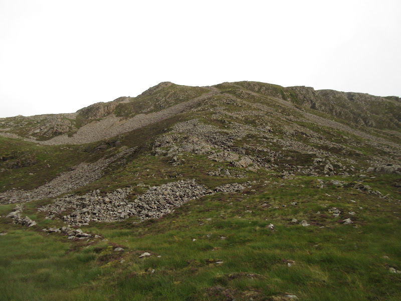
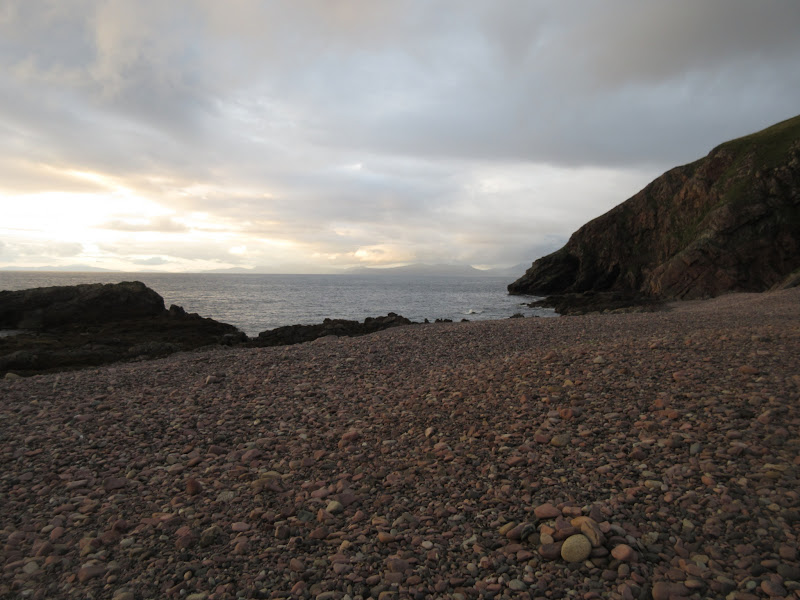
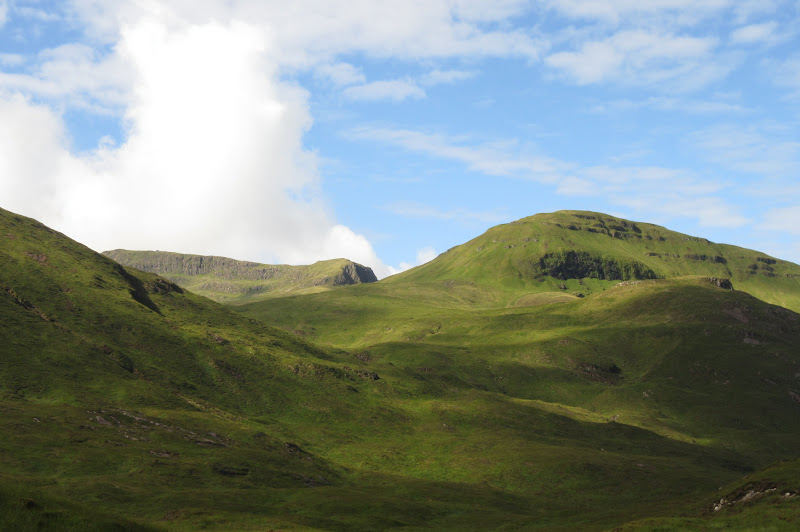
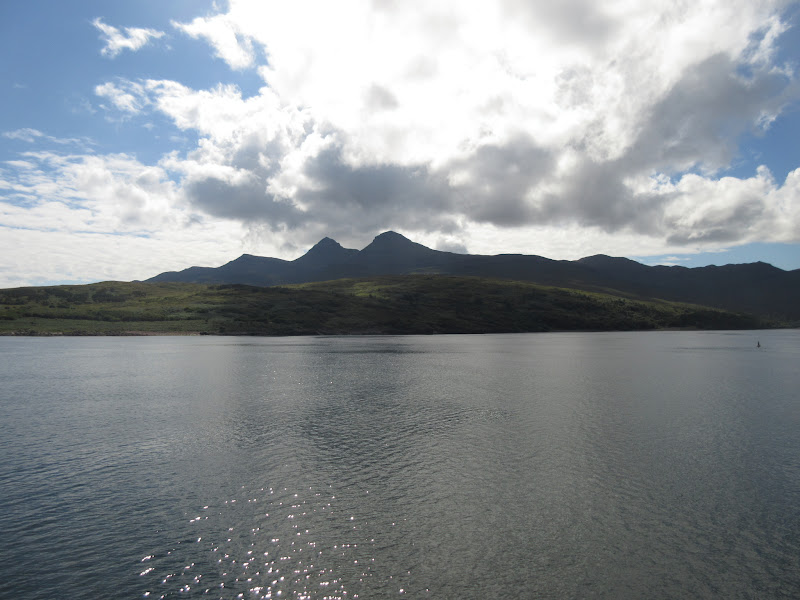
By about 1pm, things were brightening up considerably so I packed up and set off. The south ridge of Askival was apparently a rock climb (there were some bits of guidebook in the bothy) so I was really only left with the Bealach an Oir approach. I hiked back up Glen Dibidil again - Askival was looking lighter than Ainshval, but the cloud was still brushing it on and off.
Glen Dibidil looks better now:
Could be time to leave:
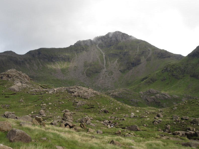
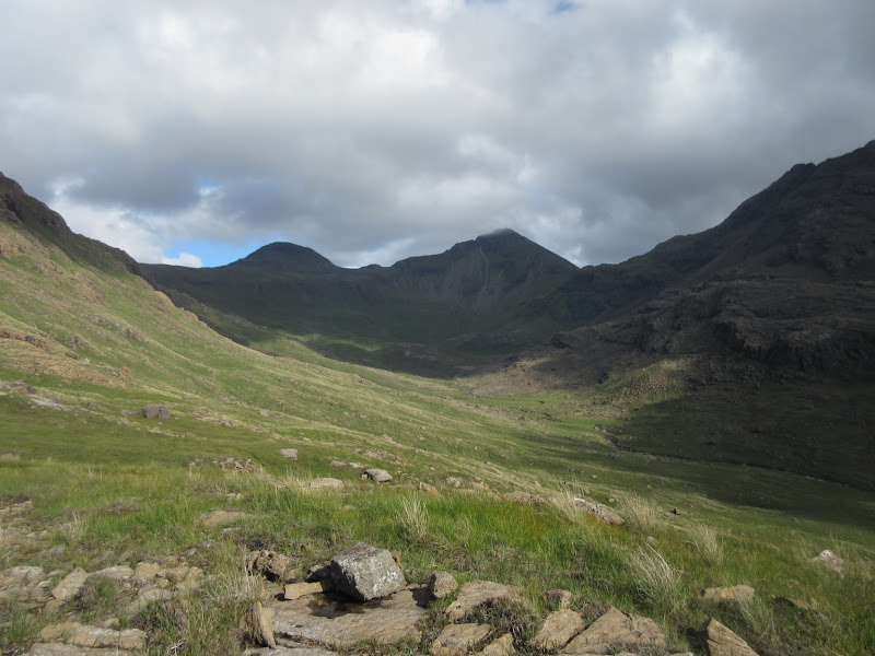
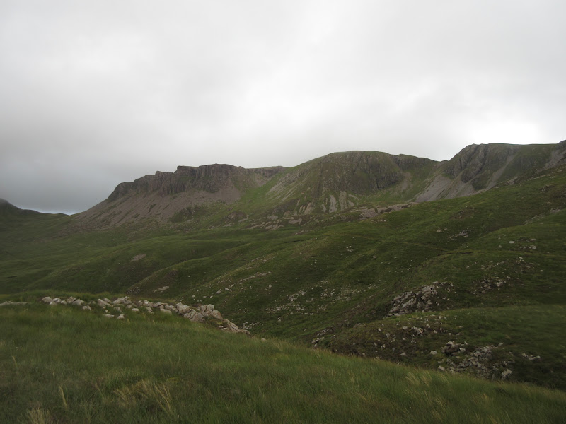
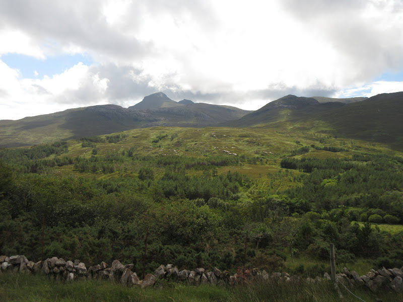
Beinn nan Stac:
Nameless Corrie on Ainshval:
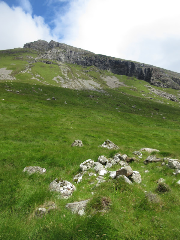
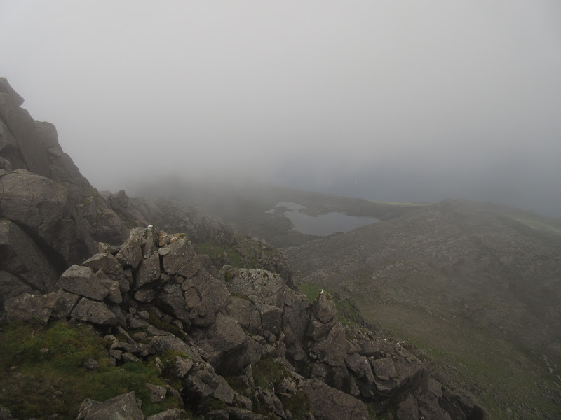
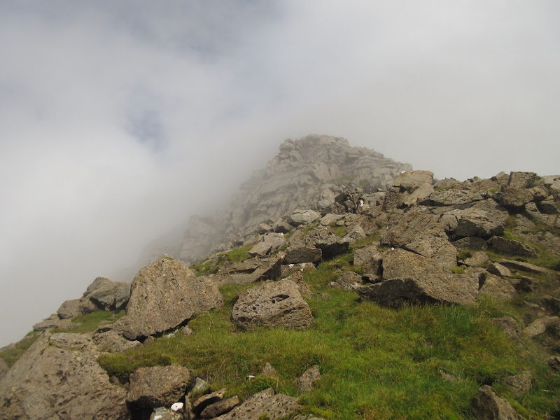
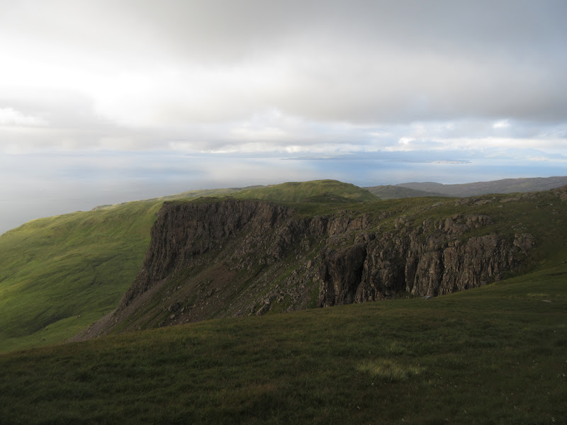
At Bealach an Oir, I decided that I didn't fancy lugging my heavy bag over the Askival pinnacle and Hallival, so I abandoned it on the col for a quick up-and-down of the W ridge. This was a long haul up but quite easy without the bag. There were optional bits of scrambling, and I was in the clag shortly.
Looking across to Ainshval from the W ridge of Askival:
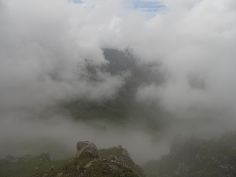
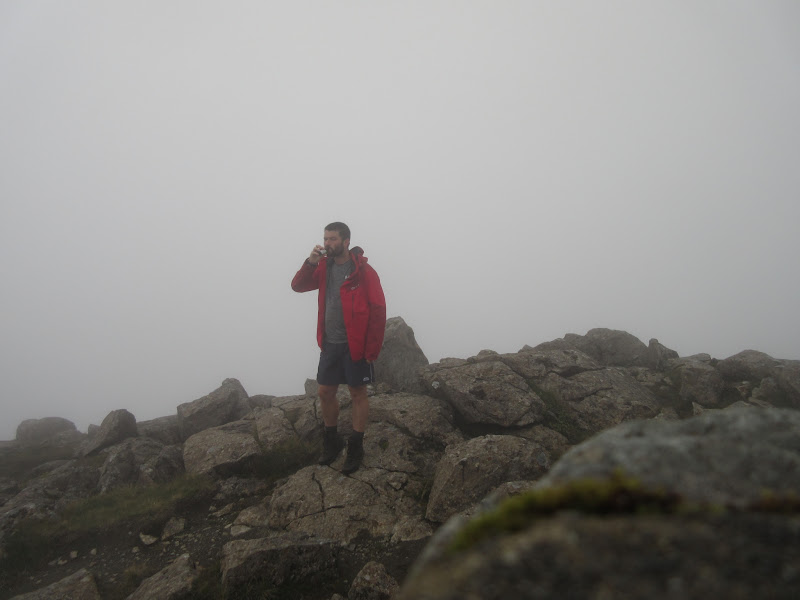
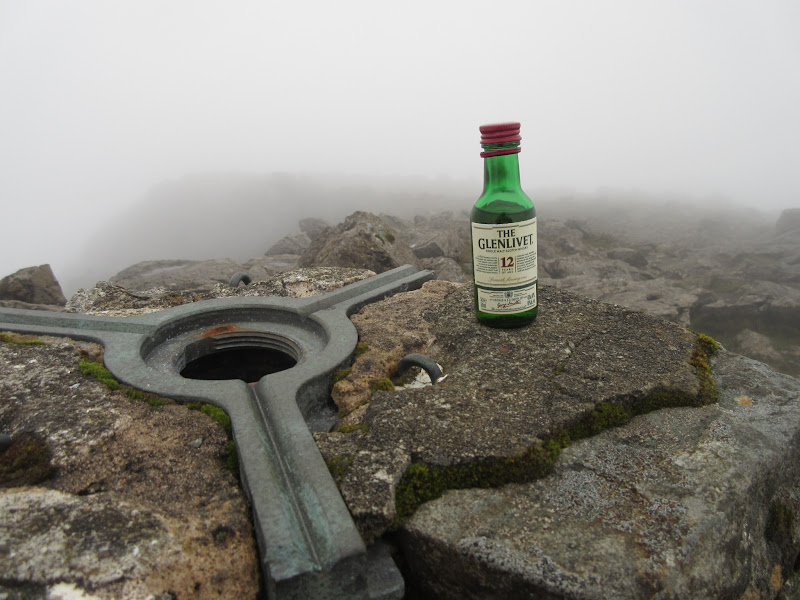
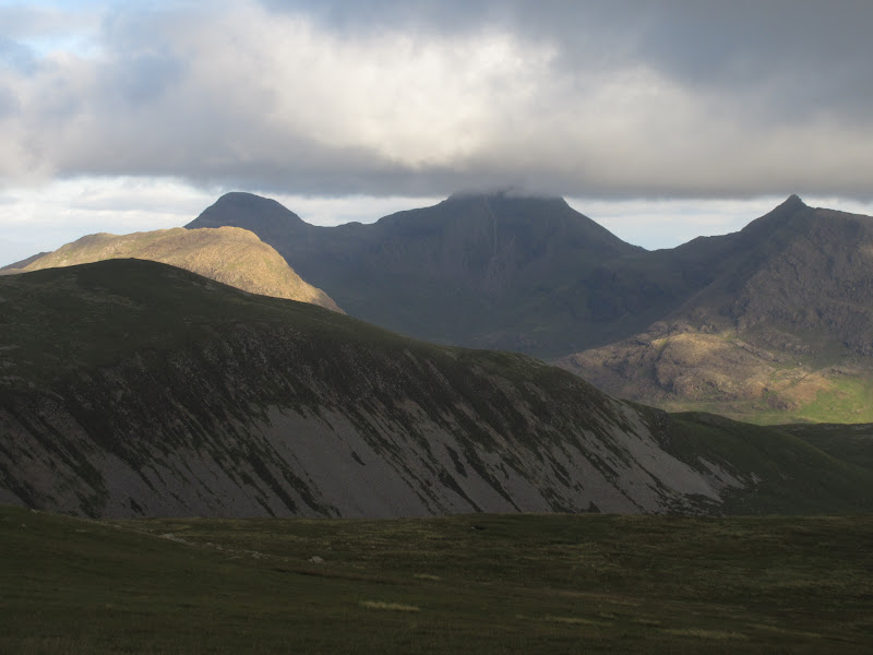
I was up pretty fast - looked like a nice top as well. Shame the clag was still swirling around, but it was very thin - at some points the sun was very warm and had practically burned it away. Time for a little celebration, after which I spent a good 45-50 minutes wandering around waiting for a clearing. It was certainly a better completion than yesterday's on the Grahams, but still a little bit short of what I'd hoped for.
The top:
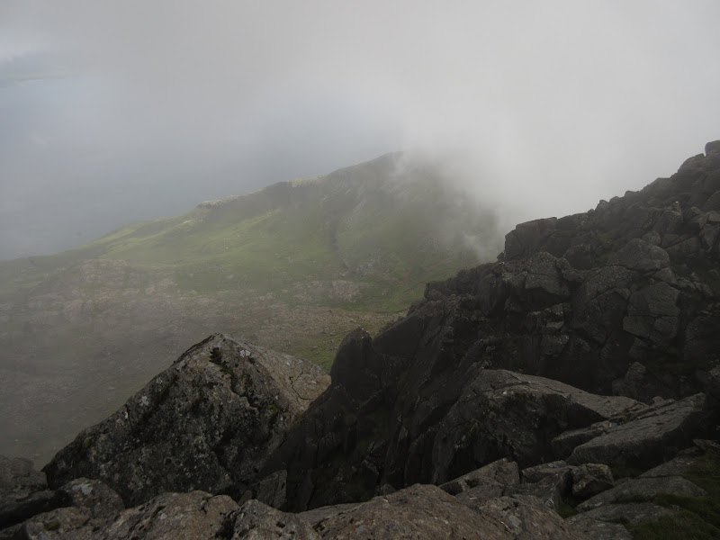
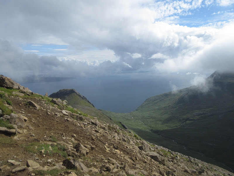
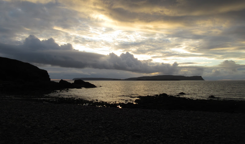
The cloud never really cleared, but I got a few limited views to the east - not bad.
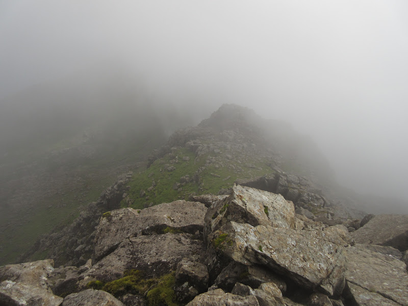
Looking down the S ridge:
Threatening to clear:
Clough’s Crag:
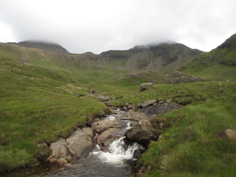
Loch Coire nan Grunnd:
Across Glen Dibidil – about as good as it’s going to get for now:
Eventually I decided to leave. I had packed up earlier and planned a more ambitious route, walking out of Atlantic Corrie, over Oreval and down to Guirdil bothy, so I needed to get moving if I wanted to arrive at a sensible time.
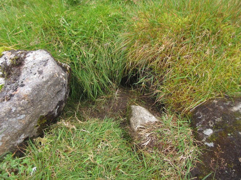
Manx shearwater burrow on the W ridge:
On the way back down the W ridge of Askival:
Ooh look – Glen Dibidil in the sunshine:
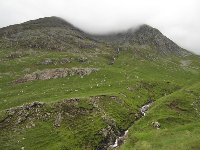
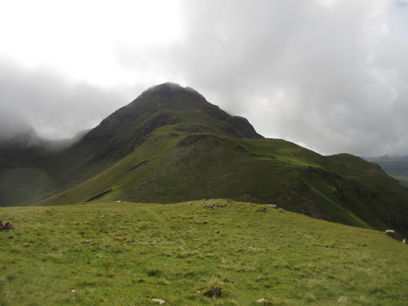
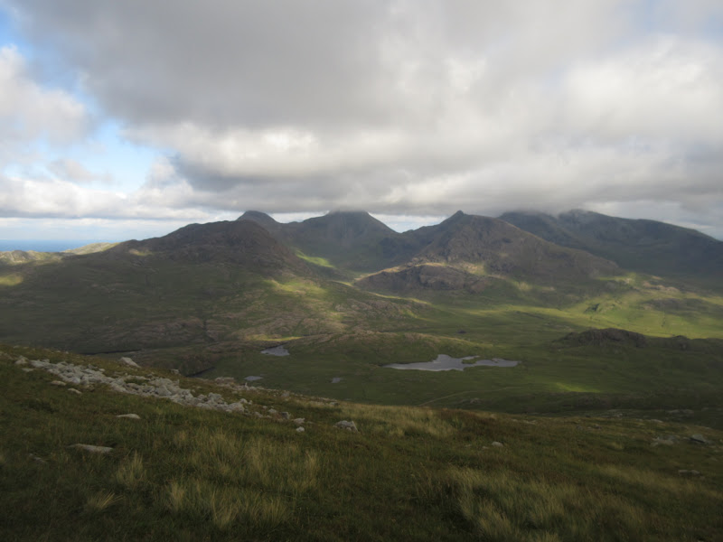
Back down at the Bealach nan Oir, Trallval was clearing. It was tempting to go up it again in more pleasant conditions, but I dropped down steeply on deer tracks instead onto the floor of Atlantic Corrie.
Trallval – shall I have another go?
Sunshine and cloud on Hallival:
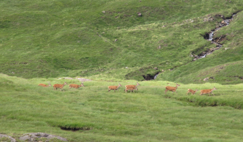
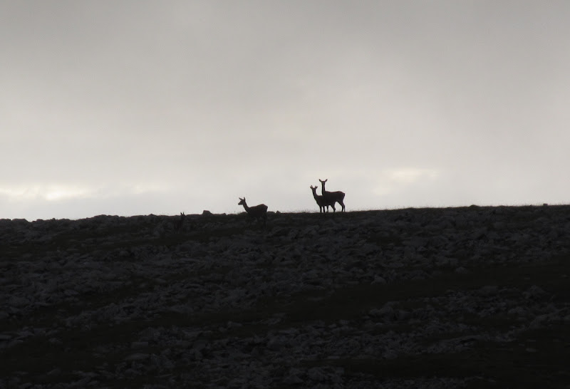
Red deer low down in Atlantic Corrie:
By the time I was on the floor of the corrie, Askival was intermittently clearing. Perhaps I should have stayed another hour on top, but the weather further west looked better, and it was preferable to move in that direction.
Atlantic Corrie, Hallival and Askival:
Askival has just about cleared now – too much effort to go back up:
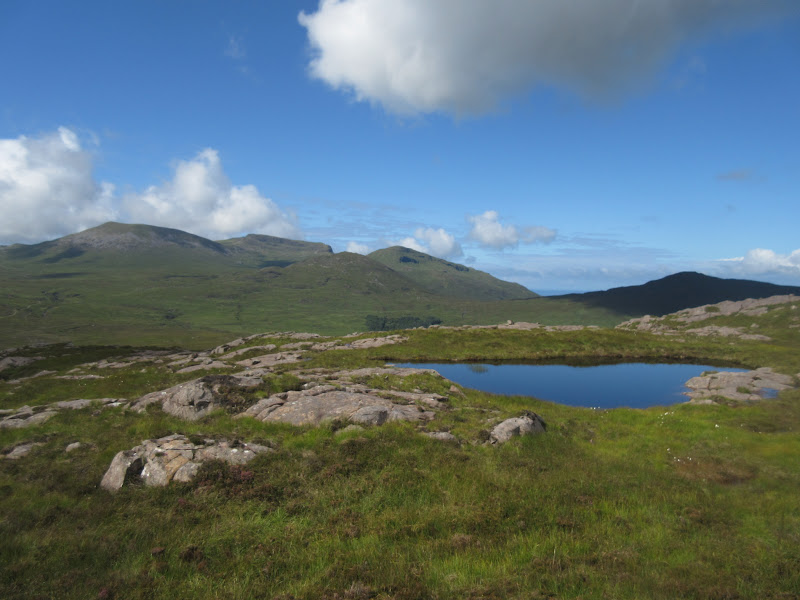
The route out through Atlantic Corrie and up to the high point on the Harris track was quite rough and convoluted, but also really enjoyable. I was so absorbed in wandering between outcrops and lochans, with Barkeval looking really impressive from this angle, that I lost track of time for a bit. There are gabbro outcrops in all sorts of weird and wonderful shapes - the clag on the main ridge was soon forgotten. The whole area reminded me of Gleann a' Chaigean Mhoir on Mull, which runs inland from Locbuie. I think the rock and vegetation is pretty much the same.
S face of Barkeval:
N face of Trallval:
Looking back into Atlantic Corrie:
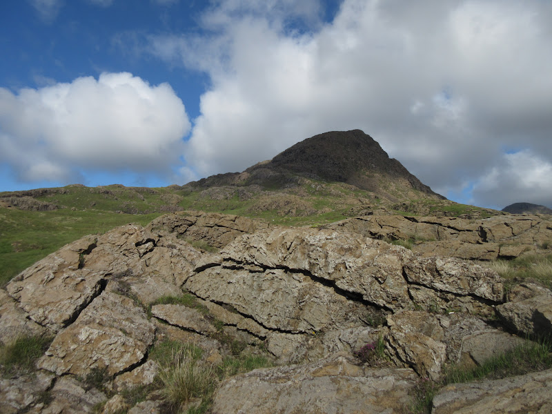
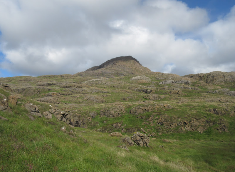
Barkeval:
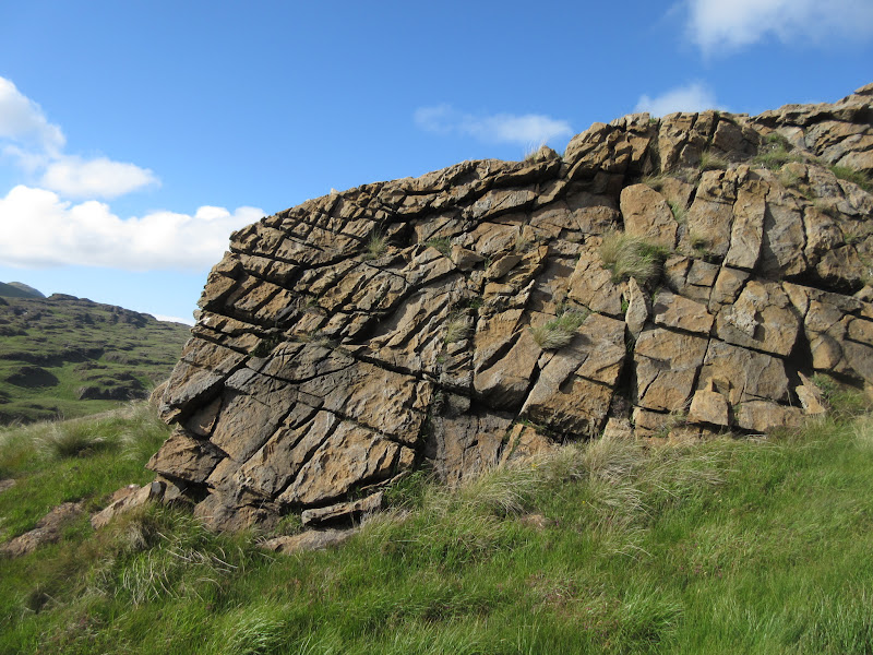
Brilliant rock:
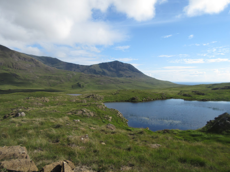
Loch Fiachanais and Ruinsival:
Barkeval and Askival:
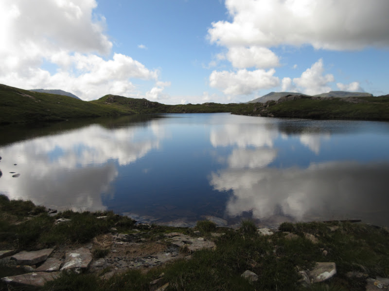
Ard Nev and Loch an Dornabac:
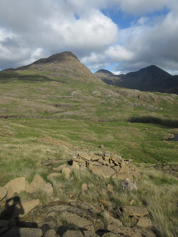
Barkeval to Trallval:

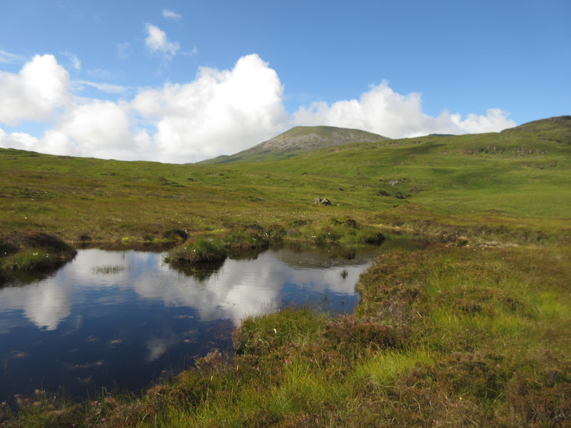
I walked up the Harris track a short way to the high point then turned westwards onto the slopes of Ard Nev. The ground was suddenly much smoother, but the grass was really long on the lower slopes, which made for hard going initially. Higher up the ridge, the walking became easy and it was an easy stroll over here to the foot of Oreval. Views were also opening up to Skye in the north, with the Rum Cuillin always looking interesting behind me.
Trallval from the ascent of Ard Nev:
Skye – Bla Bheinn:
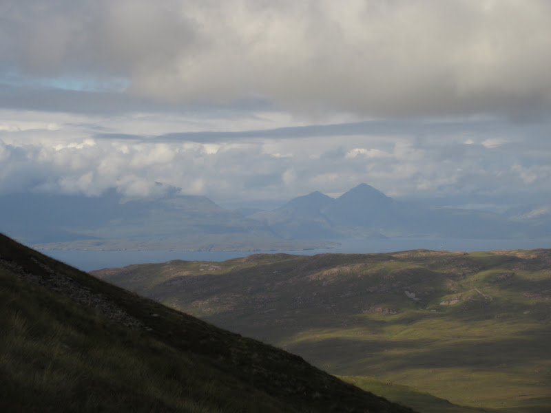
Rum Cuillin:
Mallaig peeking over the sound:
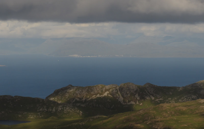
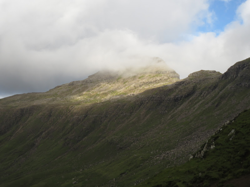
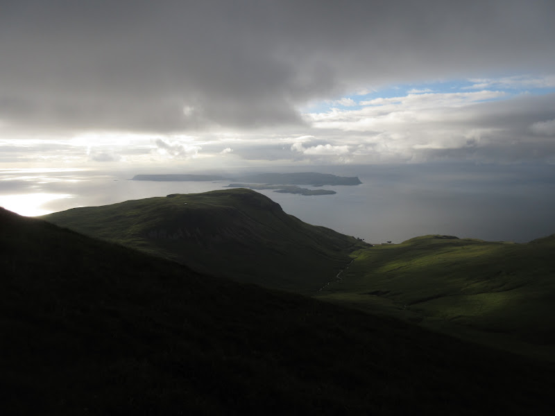
The ascent onto Oreval was short and steep, and suddenly there were fantastic views down onto Canna and Guirdil. Common with lots of Rum, the NW face of Oreval is much craggier than the map suggests. In fact to the north of the summit were cliffs almost as big and sheer as the Storr on Skye.
Ard Nev from Oreval:
Crags on Oreval:
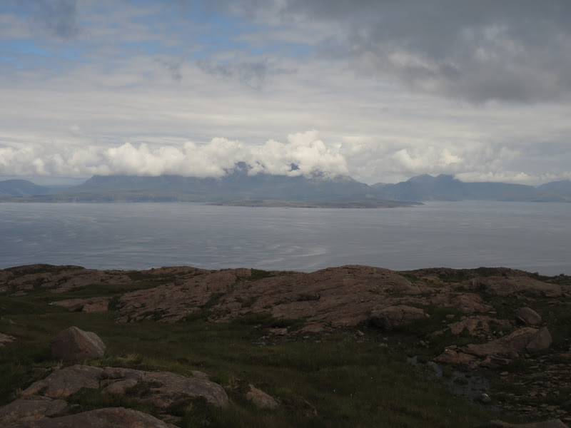
Bloodstone Hill and Canna:
Askival:
Harris and west coast of Rum:
There was a pleasantly easy walk around the head of the corrie, with views out to South Uist, Barra and the Berneray/Mingulay/Pabbay string of islands to the south. I wondered if there would actually be an easy way off the plateau. Fortunately Sron an t-Saigdhear didn't have any vertical cliffs on it, although it was steep and rubbly and took me longer to get down than expected.
Deer on Oreval:
Oreval from Sron an t-Saigdhear:
Barra:
Descent route:
I had wanted to include Bloodstone Hill in the walk too, but decided that it would be late enough when I got to the bothy as it was. I dropped down into long grass again in Gleann Guirdil and crossed the river 500m or so short of the bothy.
Oreval:
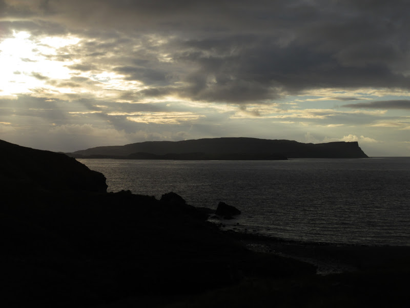
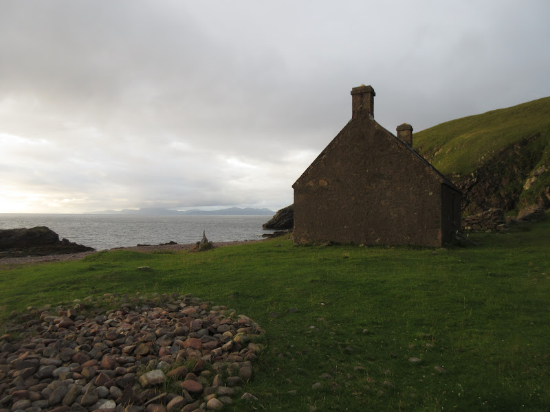
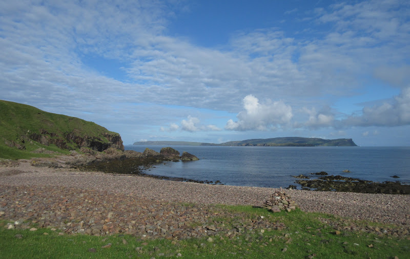
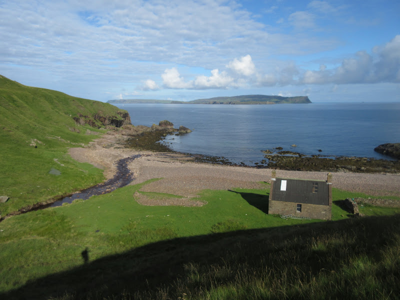
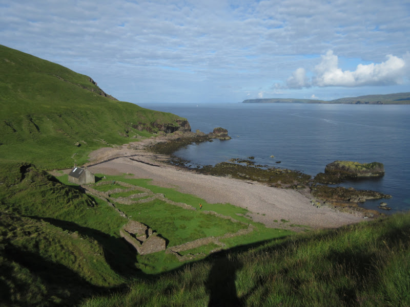
Guirdil is quite an impressive spot - it has a much less bleak feel to it than Dibidil, and the bothy occupies a prime position on the beach. With the sun setting behind Canna, this was a perfect ending to the day.
Canna from Guirdil:
Guirdil bothy:
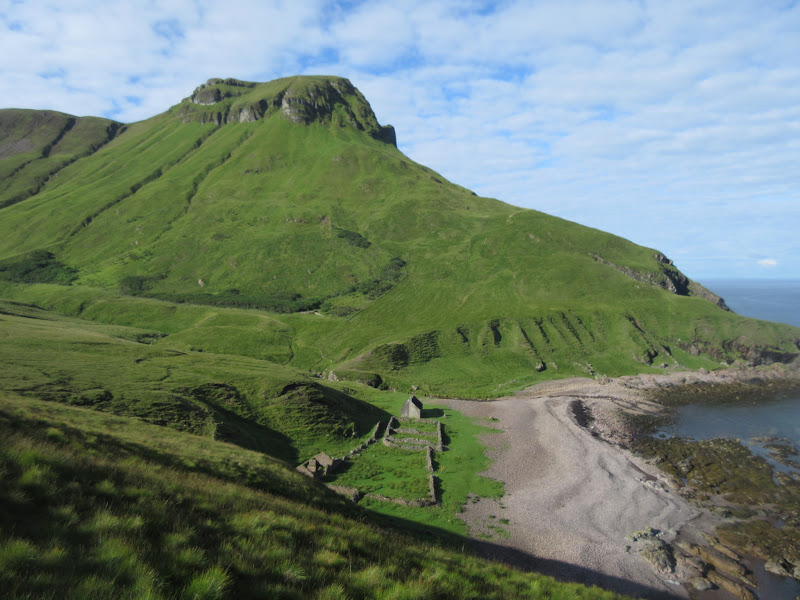
Bloodstone Hill from Guirdil:
While Greg and I had had the two weekend nights in Dibidil to ourselves, a German family was staying in Guirdil on the Sunday night. There was plenty of room there, although it wasn't quite as nice inside as Dibidil. The two youngish kids were in bed by 9:30 so I didn't stay up late. I didn't mind though - I was ready for some more sleep!
Inside:
The midges were shocking when I went out for a pee early next morning, but had calmed down a fair bit by the time I left just before 9am. The weather was great so I set off for a leisurely amble back to Kinloch, where the ferry was due to leave at 3pm.
Canna again in the morning:
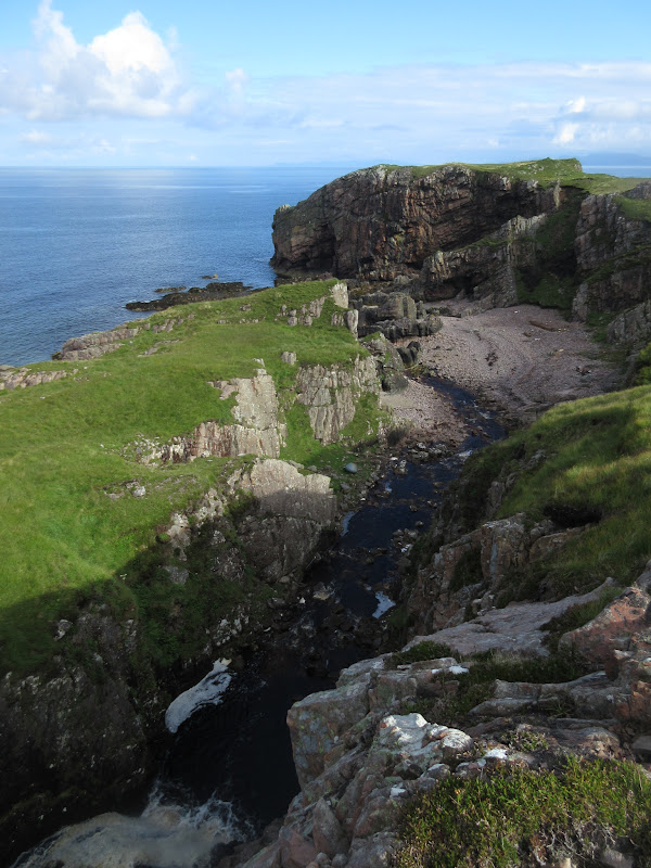
The first bit of the path was the best - following the coast north. Once inland and going up Glen Shellesder, it was a little less interesting, and the path was probably wetter than the Dibidil one. A nicer route may have been to traverse Fionchra to the south of the path.
Guirdil Bay:
Bloodstone Hill and Guirdil Bay:
Compass Hill and Carn a’ Ghail on Canna:
Crags and Canna:
Lochboisdale ferry coming in:
Glen Shellesder Burn and Bloodstone Hill:
Orval and Fionnchra:
Inland, the temperature had risen, the wind had dropped and the midges were back out in force. I joined the Kilmory track briefly before heading off in a NE direction for the summit of Mullach Mor.
Kilmory Glen:
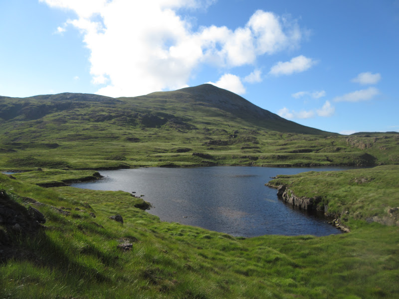
Loch nan Eala and Ard Nev:
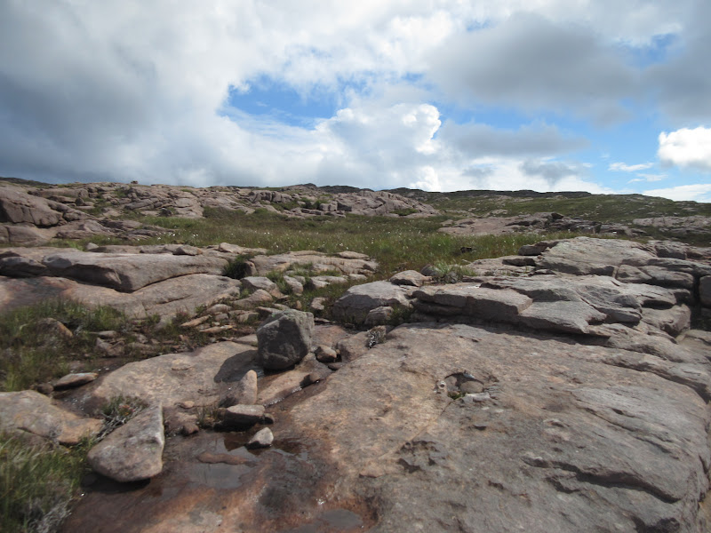
The long grass was pretty tedious low down on Mullach Mor, but above 200m, the terrain had changed again and I was in amongst sandstone slabs, making for lovely walking.
Nice sandstone slabs on Mullach Mor:
Ard Nev and Oreval from Mullach Mor:
While the light conditions were a little overcast on top, it was clearly a spot for panoramic views. The sandstone made for an attractive stopping place too. At one point I had considered catching the ferry early as it called in at Kinloch on the way out to Canna as well as on the way back, but instead I decided to have an extended break on top. It was a chance to dry my boots out a little and boil up some water for a packet of couscous I had - I had mostly run out of instantly edible snack food by now.
Summit photo:

Summit brew:

When the breeze dropped and the midges became unbearable, I put my boots back on and went for a wander round the plateau.
Towards Glen Brittle:

Boathouse Loch:
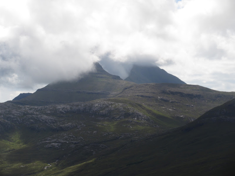
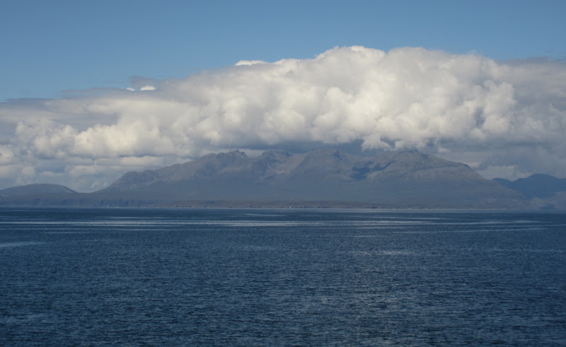
Black Cuillin threatening to clear:
After an hour or so, I packed up and began dropping into Kinloch Glen. This soon became hard work as the undergrowth got thicker, but the views across to the emerging Rum Cuillin and the ferry leaving Kinloch were good.
Hallival and Askival:
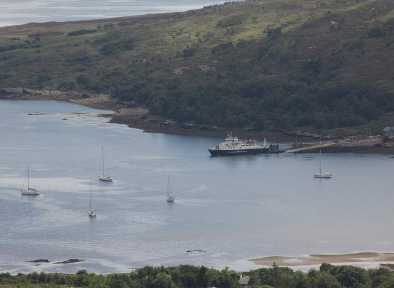
Ferry in at Kinloch on its way to Canna:
Eventually I ended up on the path which follows the north side of Kinloch Glen - this was very wet and overgrown for a spell before improving where it joined onto a nature trail. I strolled over to the community centre for a bowl of soup and a coffee before making use of the showers at the campsite - I didn't realize quite how smelly I was until I had cleaned up!
Hallival from near Kinloch:
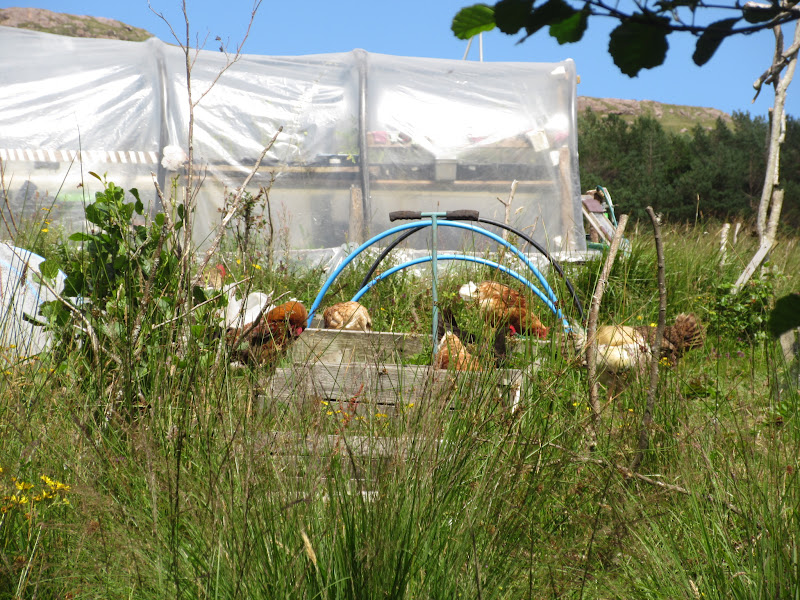
Hens at Croft 3:
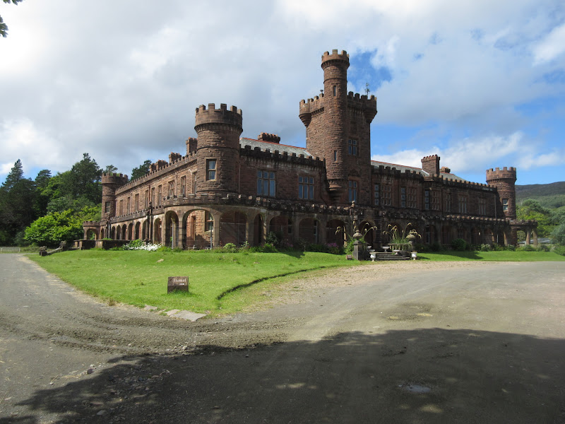
Kinloch Castle:
Loch Scresort and Knoydart:
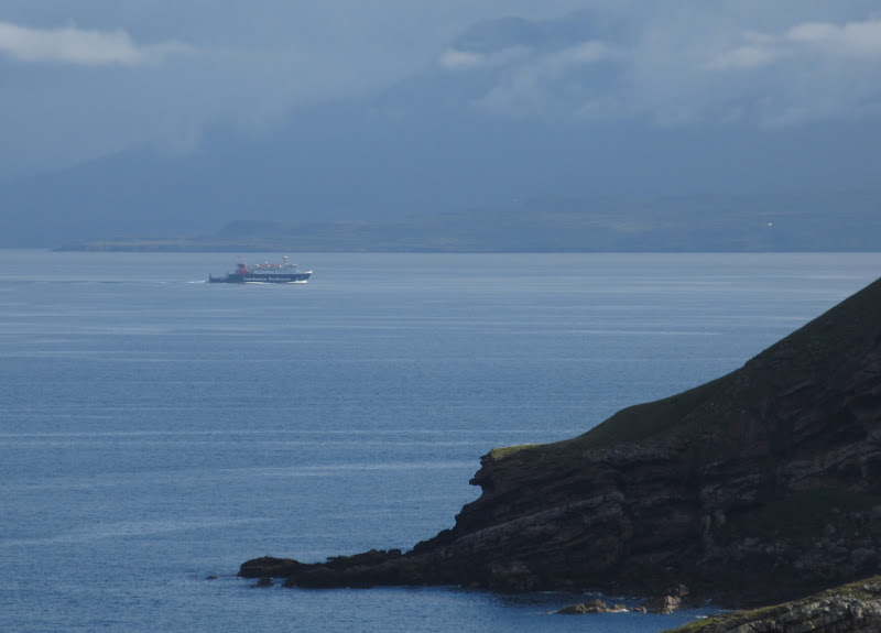
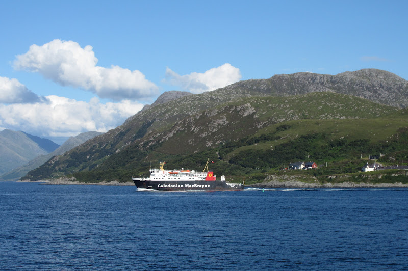
A short wait for the ferry, then it was aboard for the journey back to Mallaig - this time via Eigg. At less than a tenner for a return ticket, this has to be one of the cheapest and best inter-island cruises you can do.
Ferry coming back:
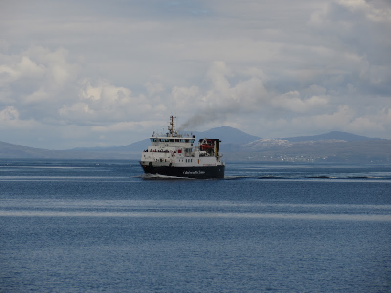
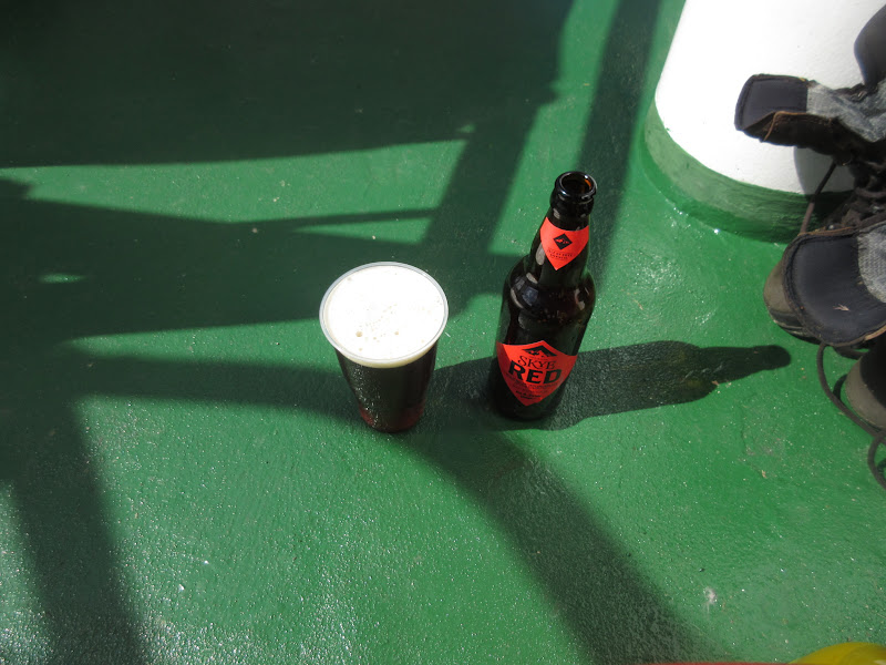
The ferry was pretty busy and the day just got warmer and sunnier as we approached Eigg - a fine end to the trip. The café also had some bottles of Cuillin Red, which has recently become a favourite, so I couldn't have been happier.
Black Cuillin and Bla Bheinn:
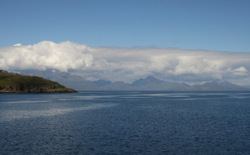
Black Cuillin:
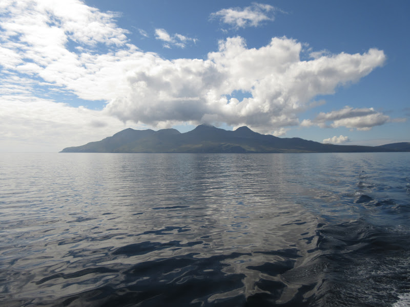
Leaving Rum:
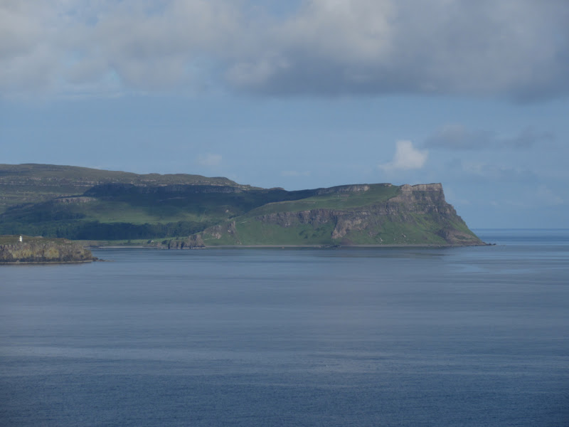
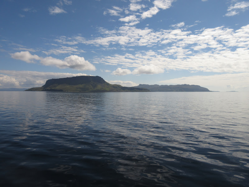
North end of Eigg:
Score:
Cuillin:
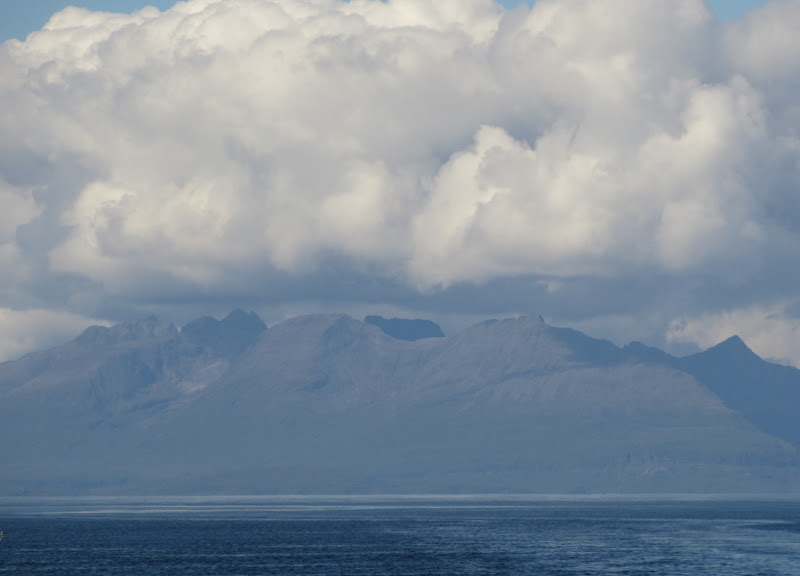
East side of Rum:

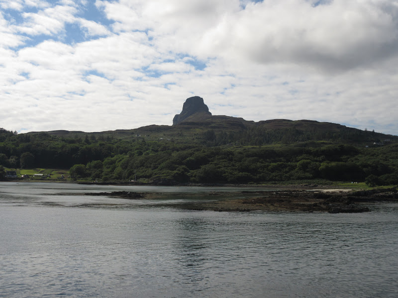
An Sgurr:
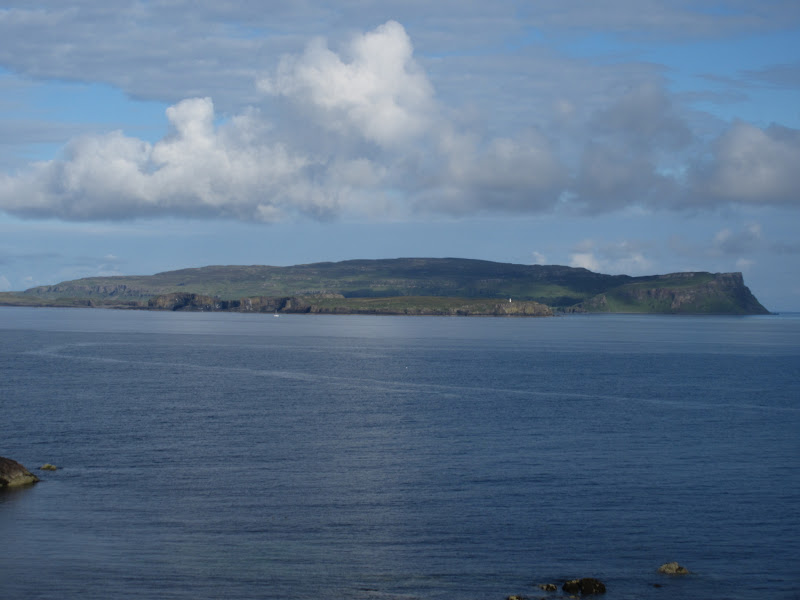
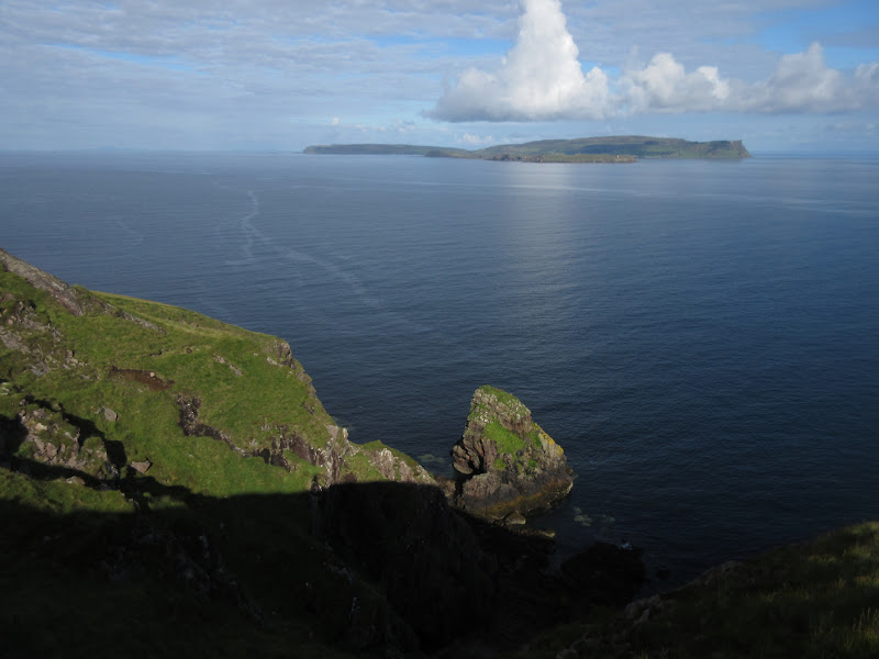
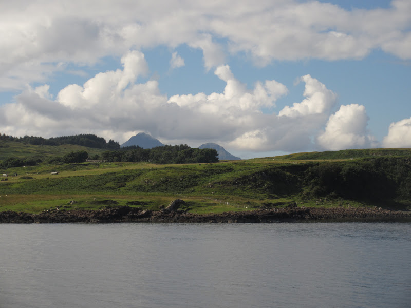
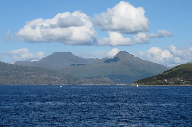
Rum behind Eigg:
Arisaig sands and Loch Nevis hills:
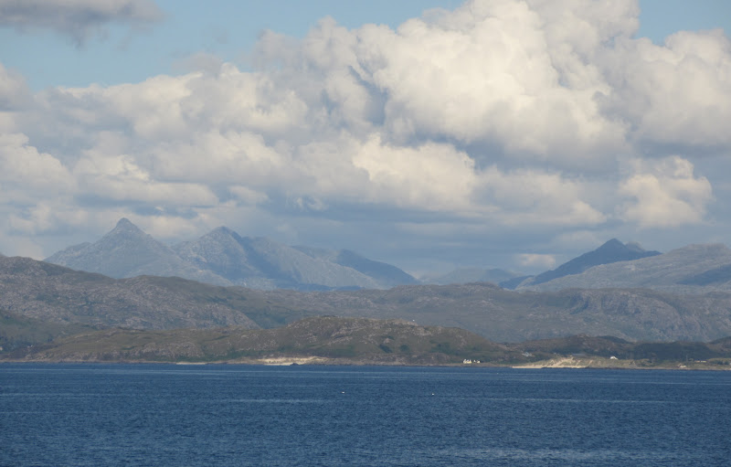
Loch Morar Hills:
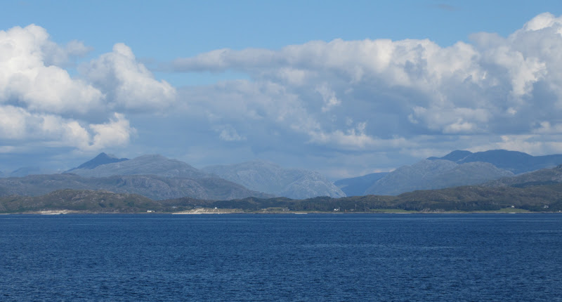
Rois-bheinn hills:
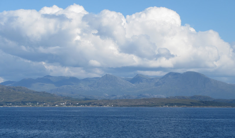
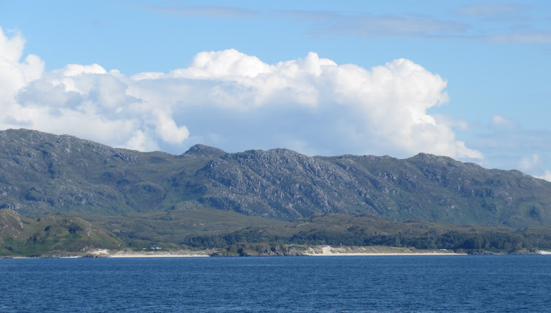
Beaches:
Ladhar Bheinn and Sgurr nan Choinnicheain:
Ferry back off to Lochboisdale again:
Back in Mallaig, I picked up my stuff that Greg had left in the backpacker's hostel. I had been looking forward to the train back to Fort William, but sadly it had been replaced by a bus. On the upside, I didn't have to pay for a ticket. Fort William was heaving - busier than I've ever seen it, but the Nevisport bar was pleasantly quiet and I stopped in for dinner and a pint before the last bus to Inverness. Quite a long journey home, but more fun than driving.
I was glad I hadn't rushed up Askival in the rain on Saturday afternoon. Although the eventual completion wasn't that much better weather-wise, the bits after it were well worth staying for. Despite some poor weather, almost the whole trip was enjoyable and memorable and probably summed up the whole bagging experience in a nutshell for me - the journey is way more interesting than the destination, even if the destination is good. Now the intention is to meander endlessly without having too much of a destination in mind....although I suppose I might eventually finish those Munro tops...and Furths. Did someone mention bothy bagging?
