free to be able to rate and comment on reports (as well as access 1:25000 mapping).
Last report from our week away.
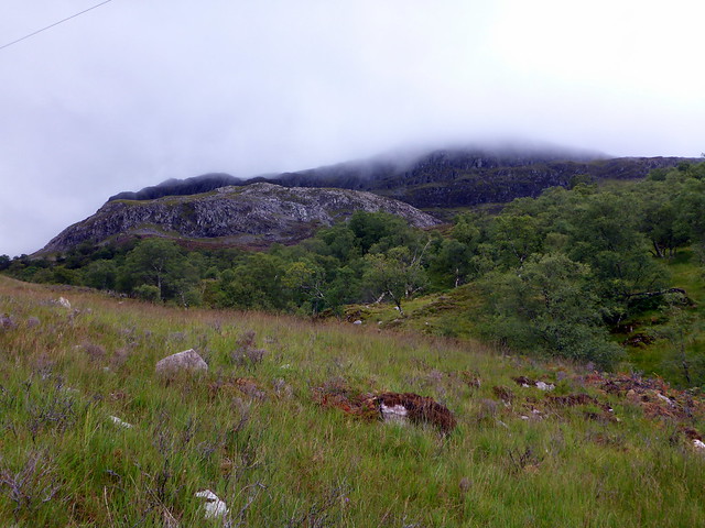
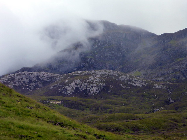
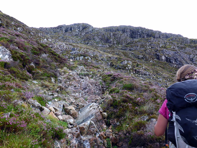
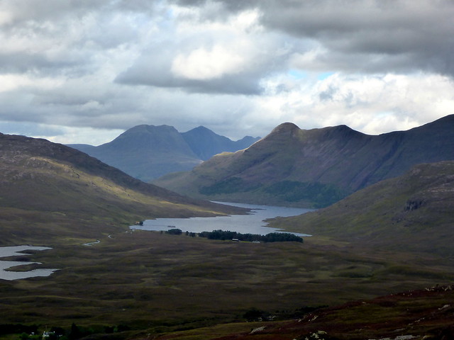
After a beautiful day in Applecross on Thursday we had heavy rain overnight and leaden skies for the short drive back over the Bealach na Ba to Kishorn. Sgurr a'Gharaidh was on the cards, with a walk in from south of Loch an Loin which would take in 2 Simms on the eastern side of the summit. we parked just inside the turn-off road to Glasnock, although it is probably possible to continue down this road a bit closer to the loch - looks like a bigger parking area there. I'm never very sure what's acceptable on private roads. We passed the loch and entered the woods alongside the Allt Beag. Cloud was low - maybe 400m, preventing what would be excellent views back to Beinn Bhan. The track quickly deteriorated into boggy mush, but we pressed on through the woods , through Coille Dhubh and joined up with a larger and better track coming from the north and continuing to bealach a'Ghlas-chnoic. This passed beneath cliffs on the north side of our mountain, although limited visibility prevented a full view. We were looking for a scree run which was our chosen ascent route and spotted the fellow just as the track rises to head round the bulge of Creag na h-Iolaire. We paused for sustenance before starting the climb.
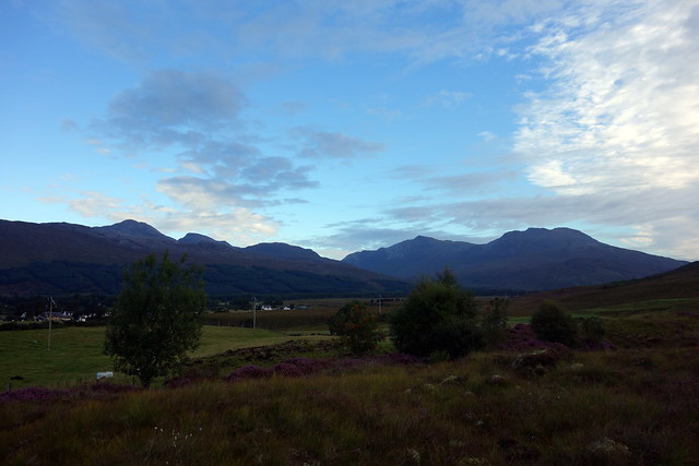
Loch an Loin
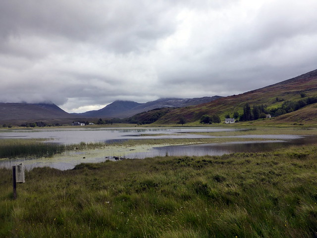 P1130627
 by
Al, on Flickr
 P1130628
 by
Al, on Flickr
 P1130629
 by
Al, on Flickr
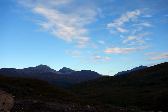
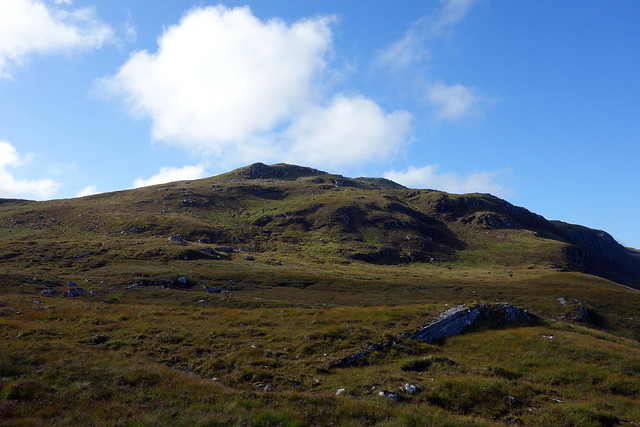
Beinn Bhan
 P1130630
 by
Al, on Flickr
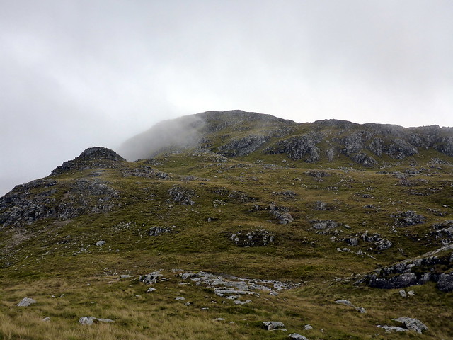
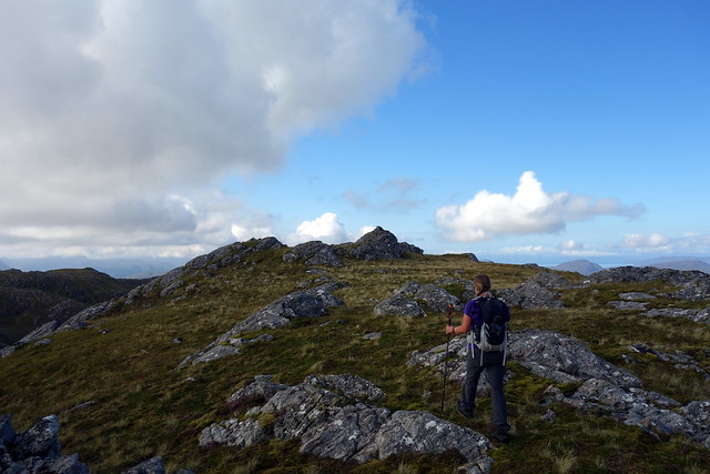
creag na h-Iolaire
 P1130632
 by
Al, on Flickr
Ascent route up the scree gully
 P1130634
 by
Al, on Flickr
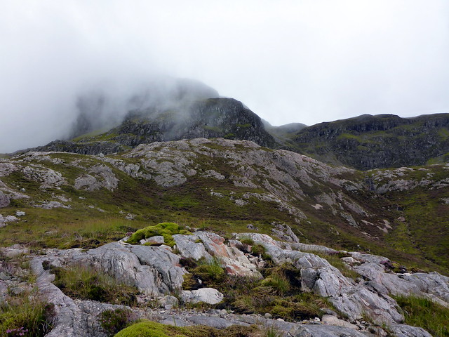
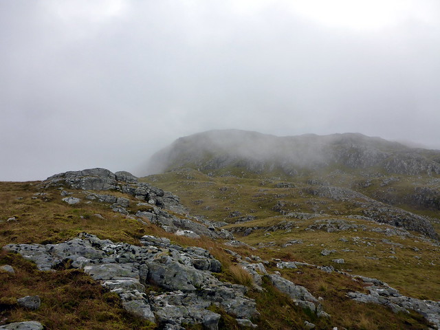
The scree run is steep and quite loose, but keeping to the right side of the cliffs we ascended using deer paths from time to time. Once we reached the top the two peaks we were after were draped in mist. The SMC book suggested making for the trig point on Glas Bheinn first and returning from there, but that seemed a lot of faff, so we followed a fenceline to the summit of Creag na h-Iolaire then dipped down to climb the short distance up to Glas Bheinn.
 P1130636
 by
Al, on Flickr
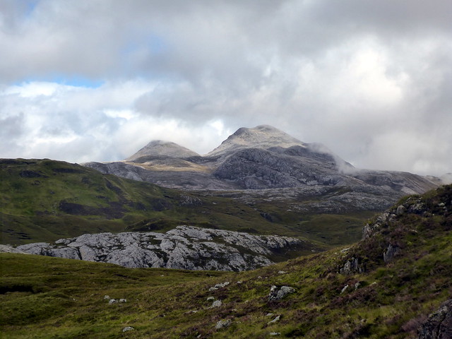
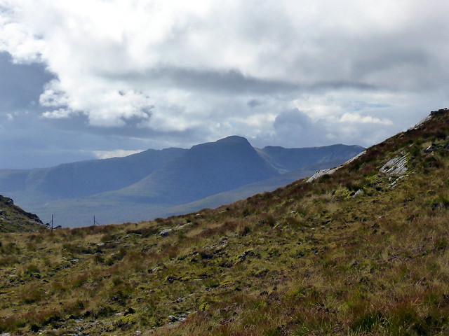
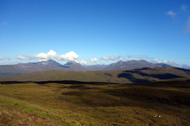
An ruadh Stac & Maol Chean Dearg
 P1130637
 by
Al, on Flickr
 P1130638
 by
Al, on Flickr
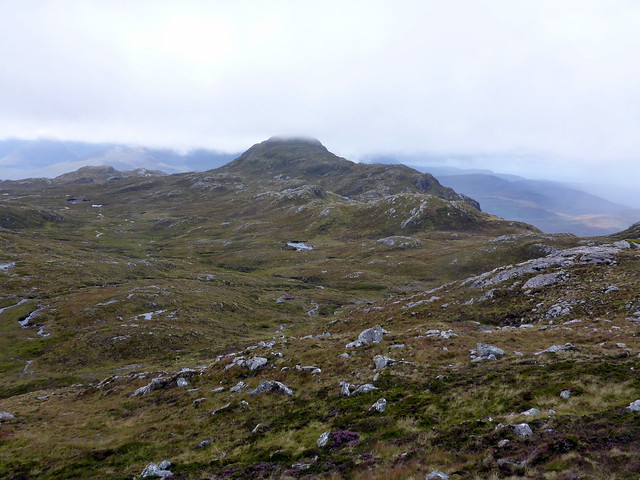
Glas bheinn
 P1130640
 by
Al, on Flickr
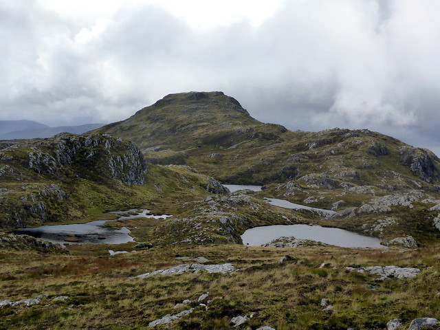
Summit creag na h-Iolaire
 P1130641
 by
Al, on Flickr
 P1130642
 by
Al, on Flickr
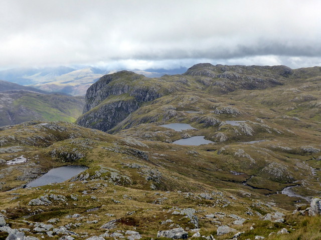
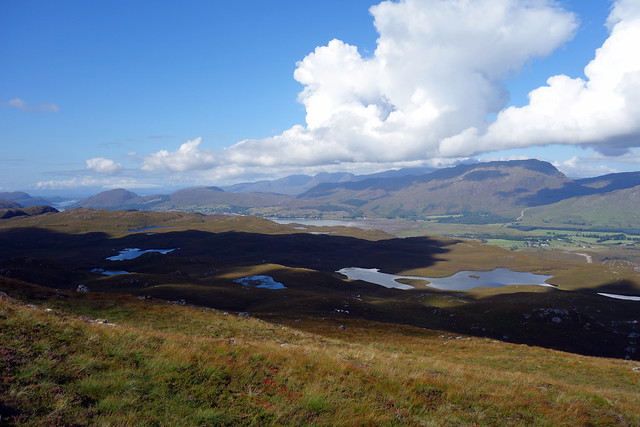
Over to Glas bheinn
 P1130645
 by
Al, on Flickr
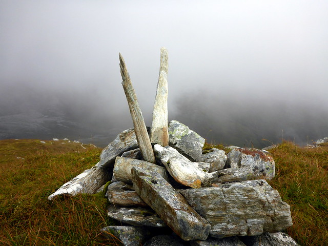
Fortunately the clag started to lift and we could make out the tower that is the summit of Gharaidh. There are many lochans to pass by and a steepish pull to the top - two cairns greet the eye, the right hand one rather close to the cliff edge. Descent was reasonably easy though quite long - we passed to the north of the kidney shaped lochan and made for the bump of Cnoc nam Broc. there's an ATV track here which we started to follow then realised it was heading for the farm at Couldoran rather than Glasnock, so a hasty move over the heather northwards was required, with a gentle descent to the track. An impressive hill when climbed this way - would be much less of an experience to simply come up and down along the western slope (ie the descent route).
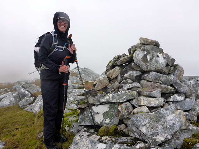
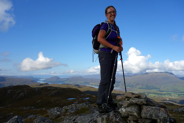
Summit of Gharaidh
 P1130650
 by
Al, on Flickr
 P1130652
 by
Al, on Flickr
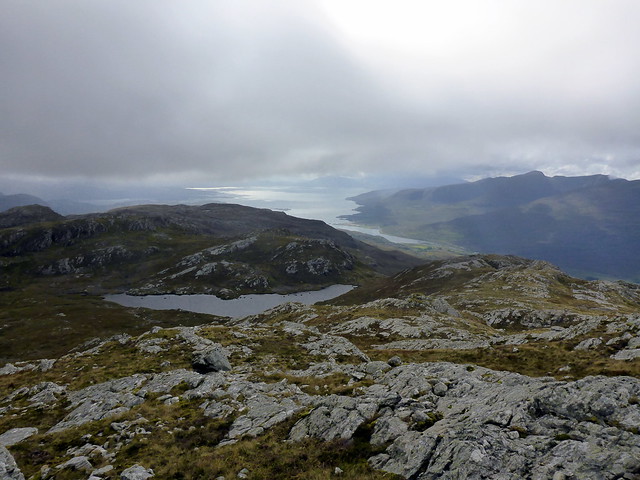
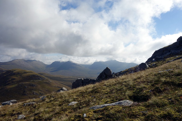
View back to creag na h-Iolaire
 P1130655
 by
Al, on Flickr
 P1130657
 by
Al, on Flickr
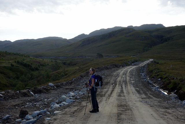
Descent route
 P1130658
 by
Al, on Flickr
Sgurr a'Chaorachain
 P1130659
 by
Al, on Flickr
Bhan
 P1130661
 by
Al, on Flickr
beinn damh
 P1130664
 by
Al, on Flickr
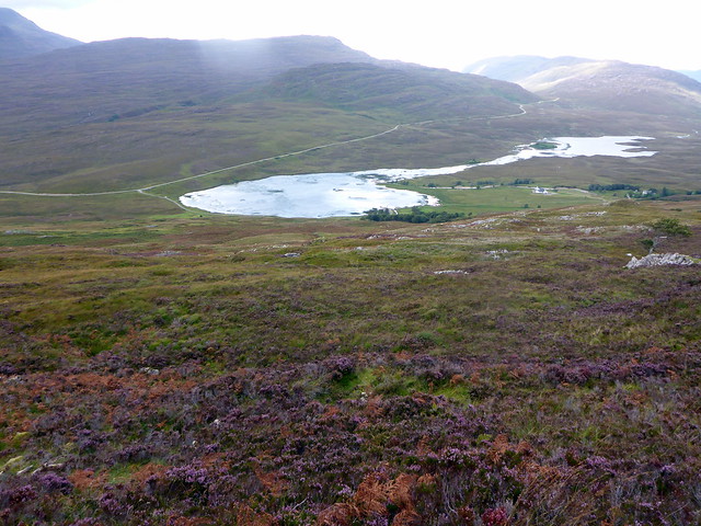
Loch na Loin
 P1130665
 by
Al, on Flickr
 P1130666
 by
Al, on Flickr
We drove on to the Wee campsite at Loch carron where we were to spend the next couple of days in the company of various Germans, Geordie bikers and young lady cyclists.
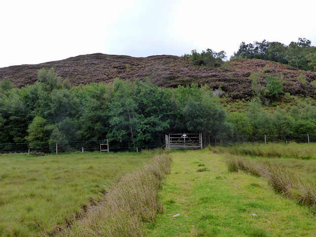
For our final walk on Sunday we packed up early and drove the short distance to Achintee to climb Creag Dhubh Mhor. We parked by the power sub station and set off through the gate onto the hill path, accompanied by many midges. After a short distanc etake the left fork for Bealach Bearnais, cross the stream and continue along a stalker's path which is soon hi-jacked by an ugly Hydro construction track for a distance. There's a cairn which signifies the resumpton of the stalker's path which contours round the hillside whilst the construction track heads downhill following the River Taodail.
Doing the midgey dance
 DSC01666
 by
Al, on Flickr
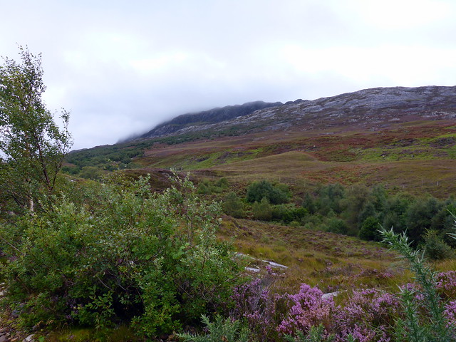
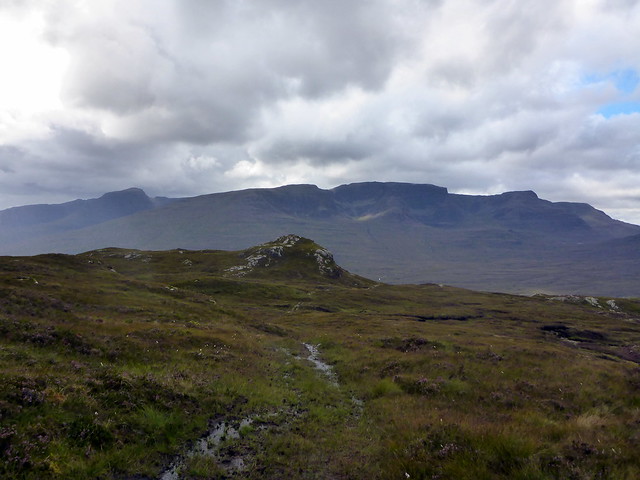
Fuar tholl
 DSC01668
 by
Al, on Flickr
 DSC01671
 by
Al, on Flickr
Hydro track
 DSC01672
 by
Al, on Flickr
 DSC01673
 by
Al, on Flickr
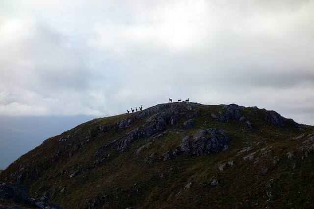
It was a lovely morning with white puffy clouds over the Torridon hills to the north, set against a baby blue sky. The gradient is gradual, the path boggy in places but eases you up and round to the north east aspect of Creag Dhubh Mhor. making for the 443 metre point at the bealach with the neighbouring hill we set about ascending the easy NE shoulder. There are a few crags, easily avoided. A group of deer stood upon the summit, silhouetted against the morning sky and having a good look at us as we moved towards them. 2 hours to the summit from the car.
Shoulder of Creag Dhubh Mhor
 DSC01674
 by
Al, on Flickr
 DSC01675
 by
Al, on Flickr
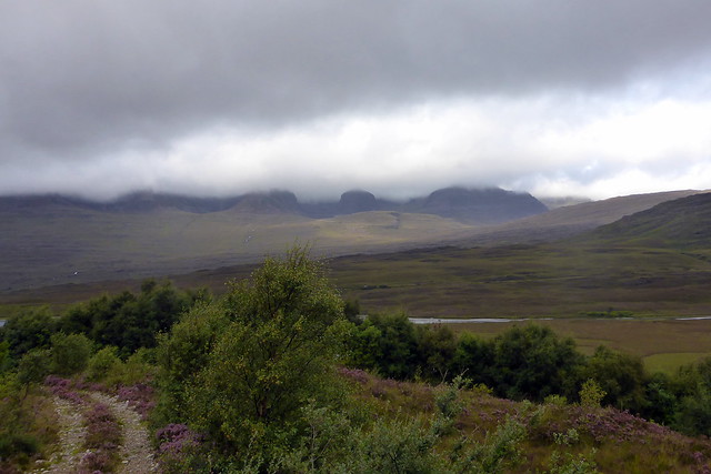
Beinn Tarsuinn, Cheesecake & Ben Dronaig
 DSC01676
 by
Al, on Flickr
 DSC01678
 by
Al, on Flickr
 DSC01679
 by
Al, on Flickr
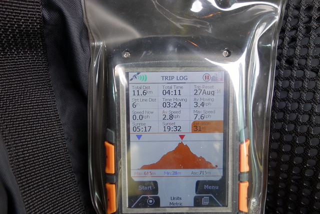
We stopped for a coffee and to get our bearings for the descent. From the summit it looks like a bit of a maze how to get out and round to the western side of the hill, but it proved easy enough. One option would have been to go over Carn Geuradainn and down that shoulder, but mindfull of the long drive home we took a quicker route initially west, then heading down to join the track to Ben Dronaig bothy - my navigation wasn't the best and we ran parallel for longer than was strictly needed. We did meet the track at the place where it crosses the deer fence via a stile and we were back at Achintee in good time.
 DSC01680
 by
Al, on Flickr
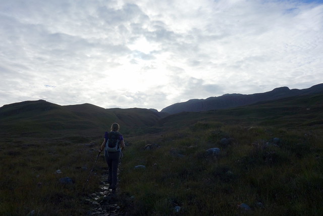
Descent route
 DSC01684
 by
Al, on Flickr
 DSC01688
 by
Al, on Flickr
