free to be able to rate and comment on reports (as well as access 1:25000 mapping).
Munros: Sgor Gaibhre, Carn Dearg, Stob Ban, Stob Coire Claurigh.
Corbetts: The Fara.
Grahams: Creag Ghuanach.
Date: 18 to 20/09/2016.
Distance: 77km.
Ascent: 4370m.
Time: 24 hours, 30 minutes.
Weather: Varied - some sunshine, some showers and low cloud, breezy at times; humid.
My first proper holiday this year - despite lots of long weekends and other days off, I hadn't taken a full week of leave at any point since Christmas, and it was starting to show. To stop myself spending the whole week sitting on my backside, I was looking for a 2 or 3 day through-route on the hills somewhere. While the Trotternish on Skye appealed, Dalwhinnie to Fort William was easier to get to, had more possible variations, and better weather by the looks of it. Not to mention the fact that I hadn't visited the Ben Alder/Loch Ossian/top of Glen Nevis area for a few years.
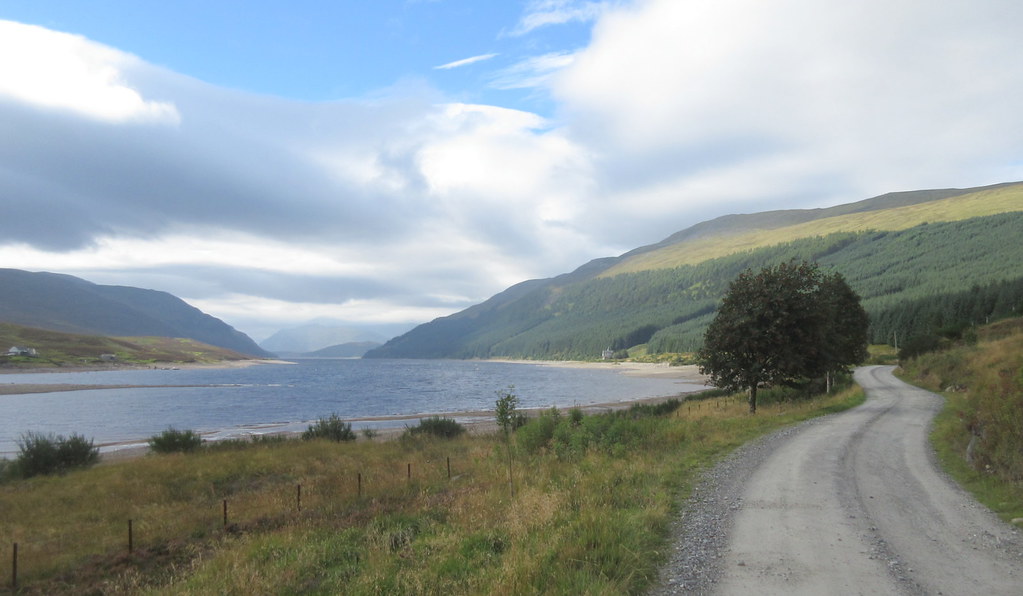
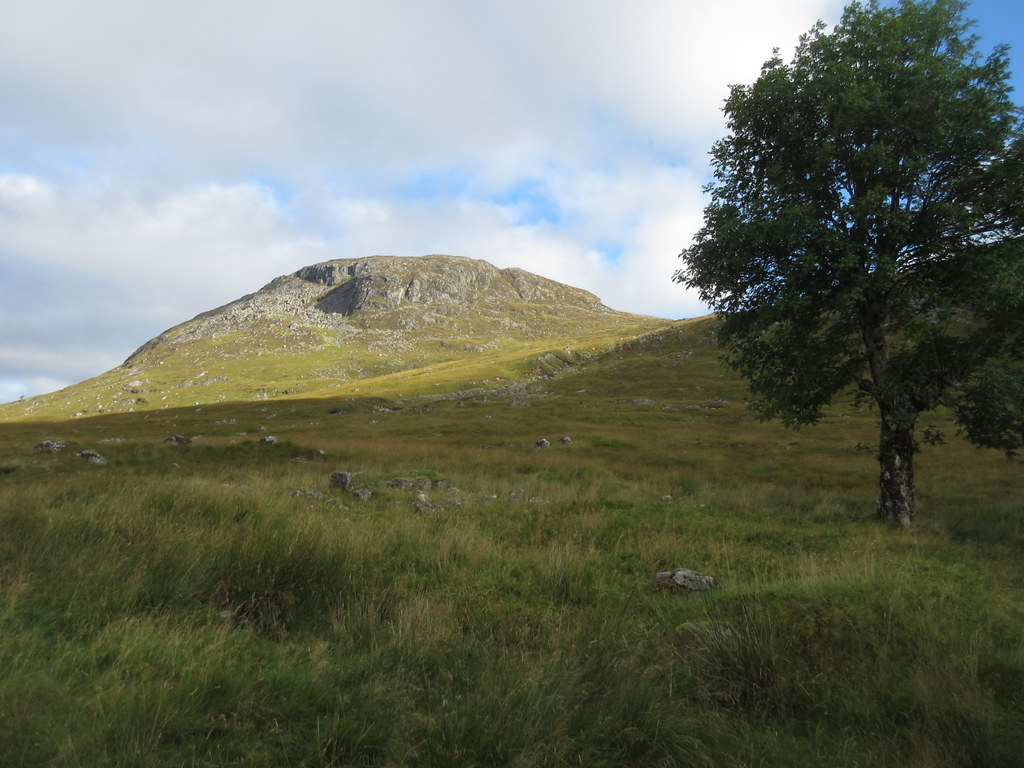
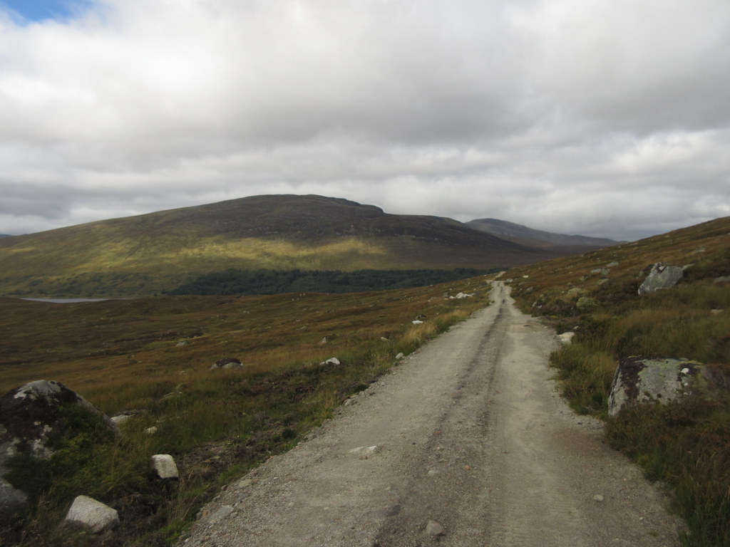
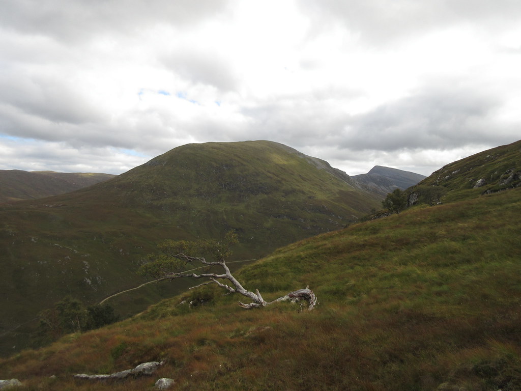
Sunday 18th September (day 1): Dalwhinnie to Ben Alder Cottage. 28km, 1390m ascent, 8 hours.A leisurely start to the trip saw me getting off the train in Dalwhinnie just before midday, having taken an hour from Inverness. There was quite a breeze blowing but the sun was out. I started down the Benalder Lodge track, but before long, I had decided to take the high route in over The Fara, so it was up the fire break opposite An Torcailt and onto the main summit.
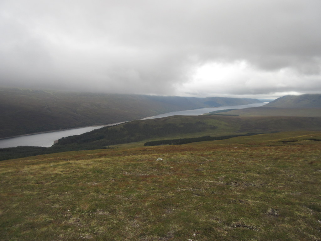
Loch Ericht and the Fara:
Dalwhinnie and Meall Chuaich:
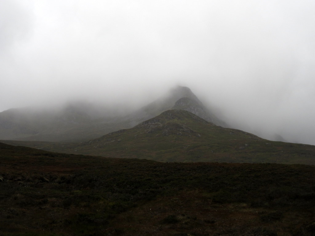
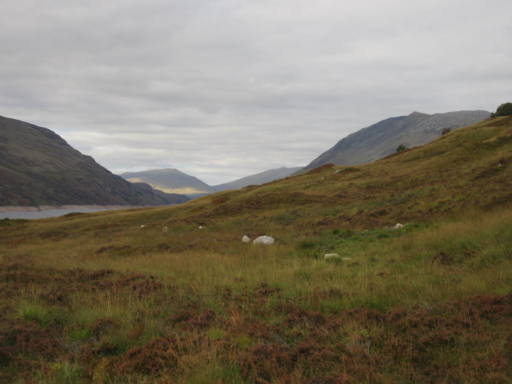
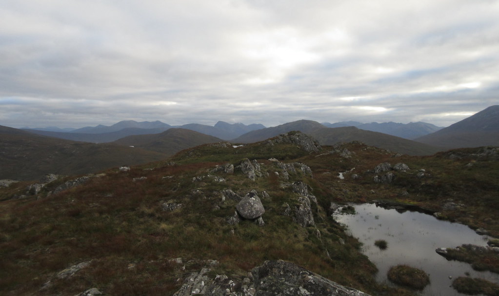
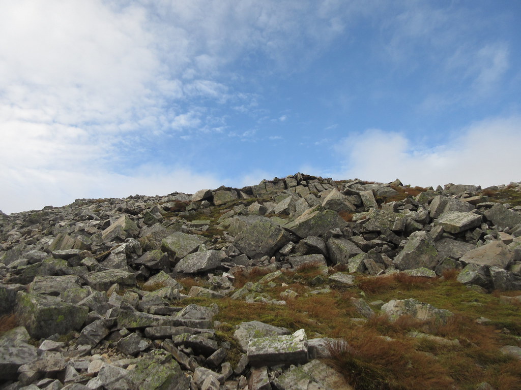
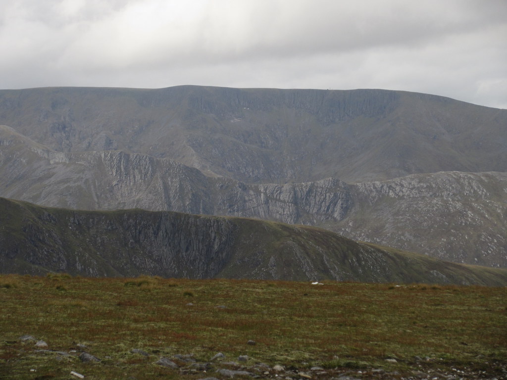
Fara summit:
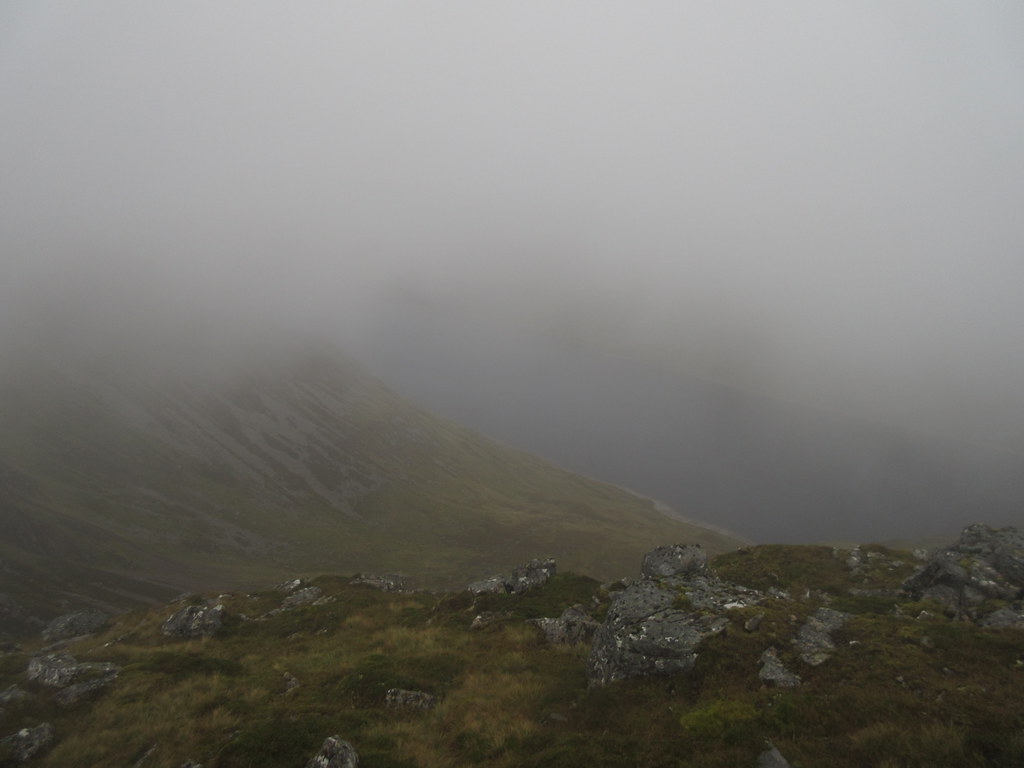
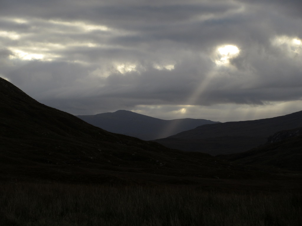
The weather was forecast to deteriorate later in the afternoon, and already clouds were moving in on the Fara ridge. I had hoped for a scenic traverse through to Loch Pattack, but Ben Alder and co. had heads in the cloud, and before long so did I.
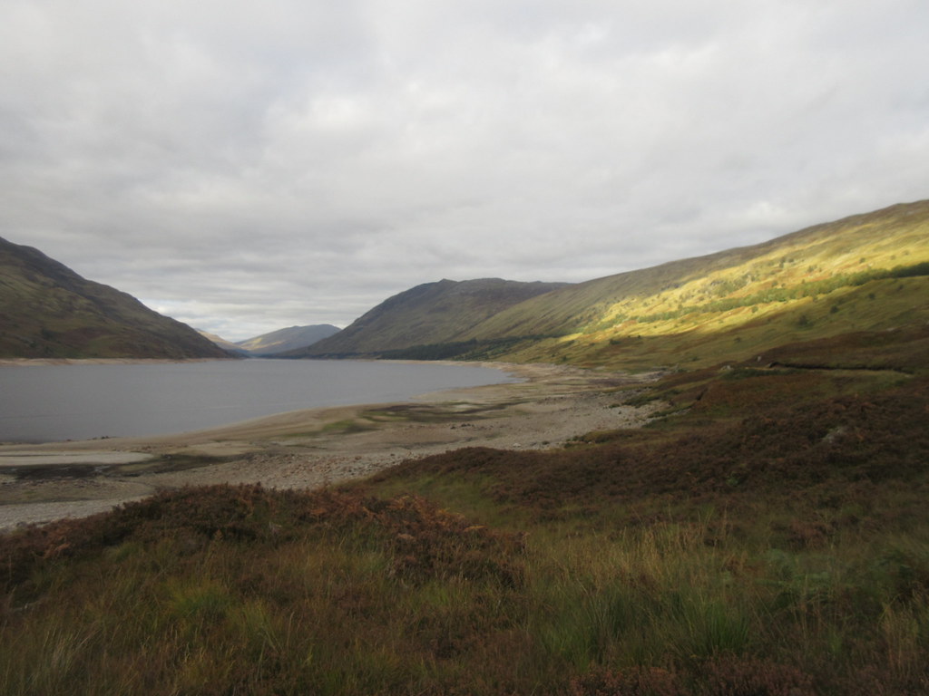
Loch Ericht:
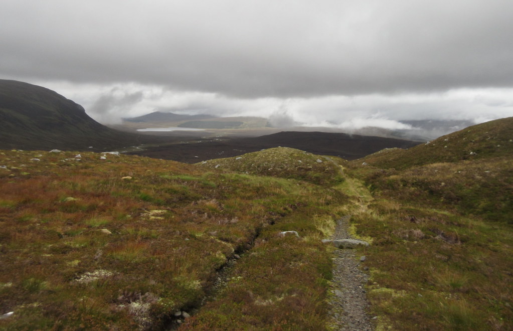
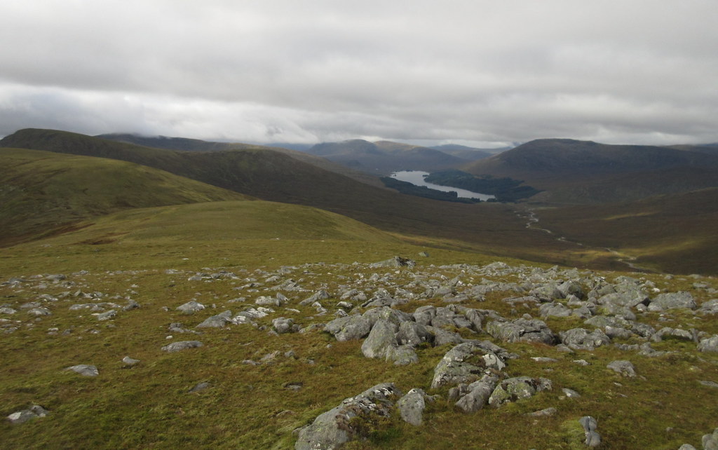
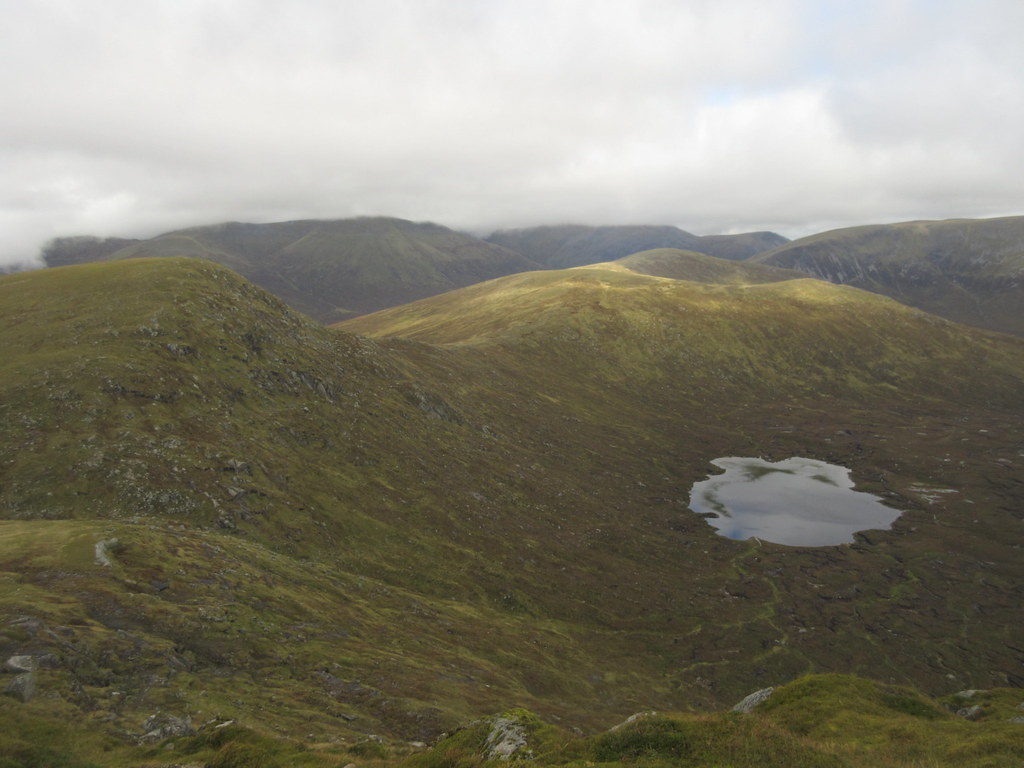
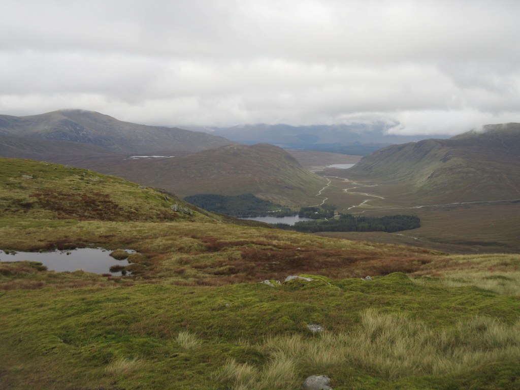
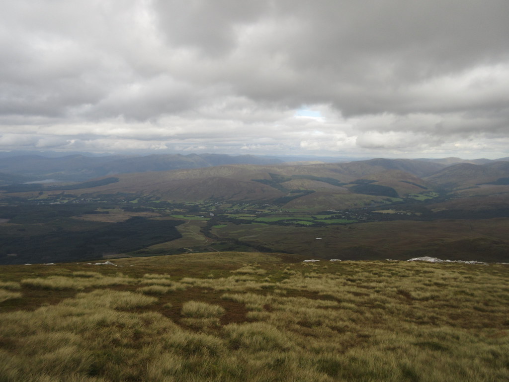
Still, there were views for a bit, and the walking was really easy - more pleasant on the feet than the lochside track. I made a minor navigational boo-boo dropping off Meall Leac na Sguabaich, and had to contour more hillside than intended, but before long I was back out of the cloud and overlooking Loch Pattack. Even without the views to Lancet Edge and the short and long Leachas, it was nice to be back here.
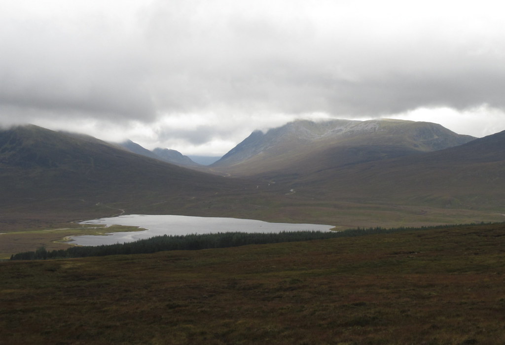
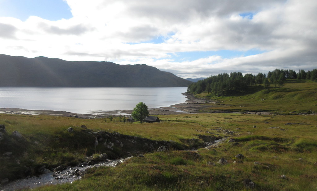
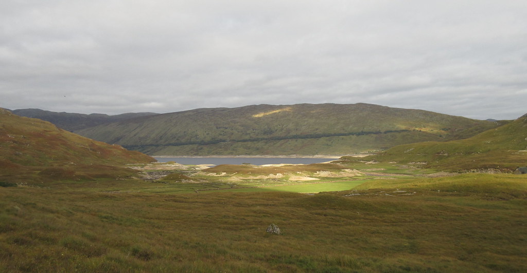
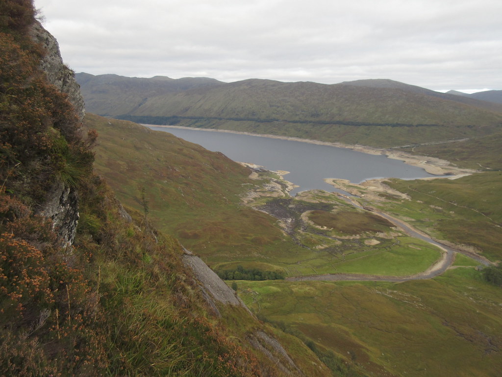
Loch Pattack and Beinn a’ Clachair:
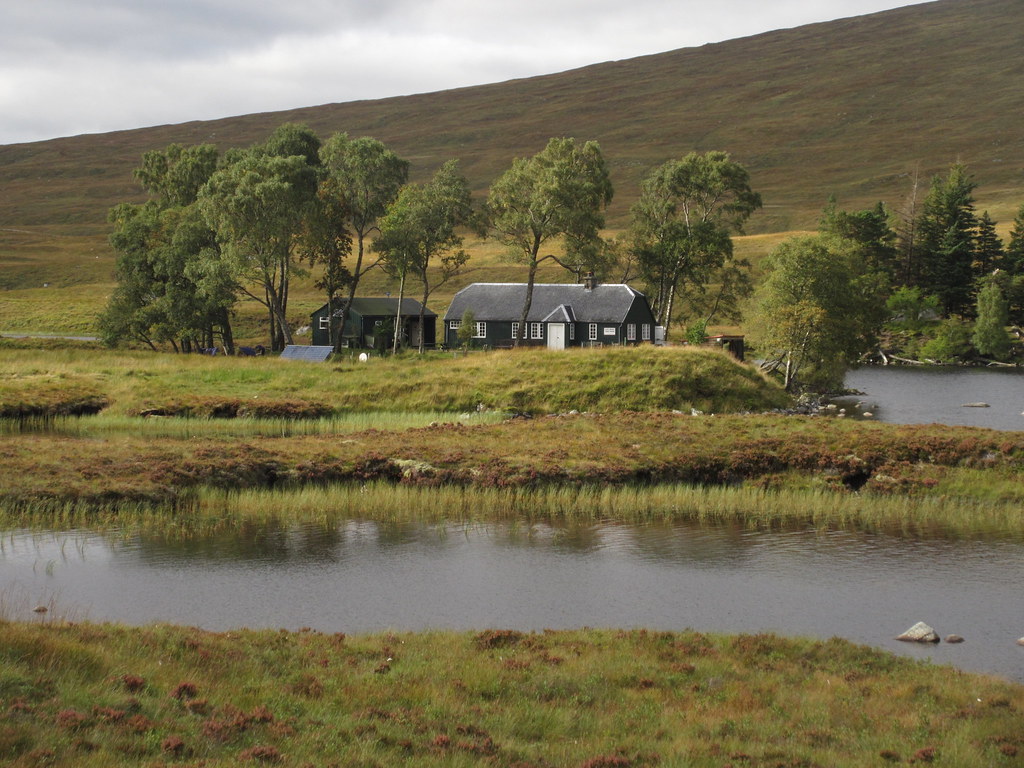
It was a little muddy descending the side of the deer fence around the forestry, but soon I was on the Loch Pattack track, then turning onto the Culra path which follows the east side of the Allt a' Chaoil-reidhe - both good, easy surfaces. A pleasant walk up past Culra next. Options were abound - originally I had wanted to camp on the summit of Ben Alder, but even before I left the house, the weather forecast had suggested this would be a bad idea. Plan B to climb Carn Dearg behind Culra and camp by either Loch Coire Cheap or Loch an Sgoir under Geal Charn wasn't looking so smart now either, so I decided to walk through the Bealach Breabeg to Ben Alder Cottage instead.
Looking back to the Fara:
Culra bothy:
Short sight of the Long Leachas:
Looking back to Loch Pattack:
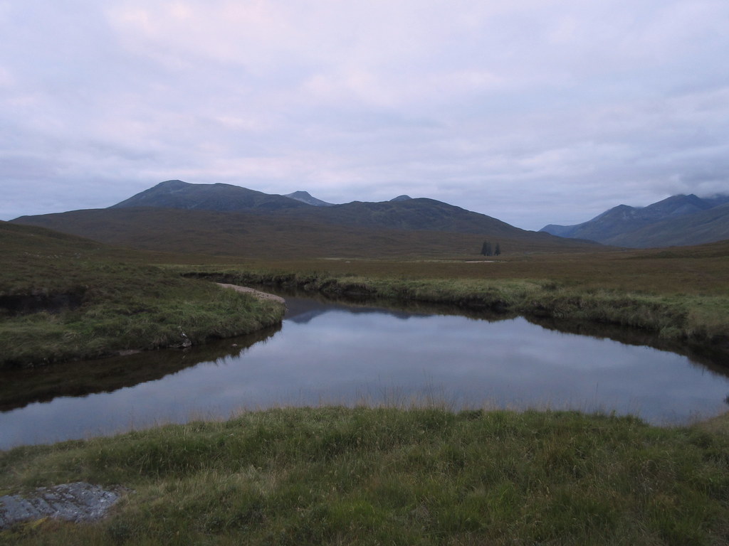
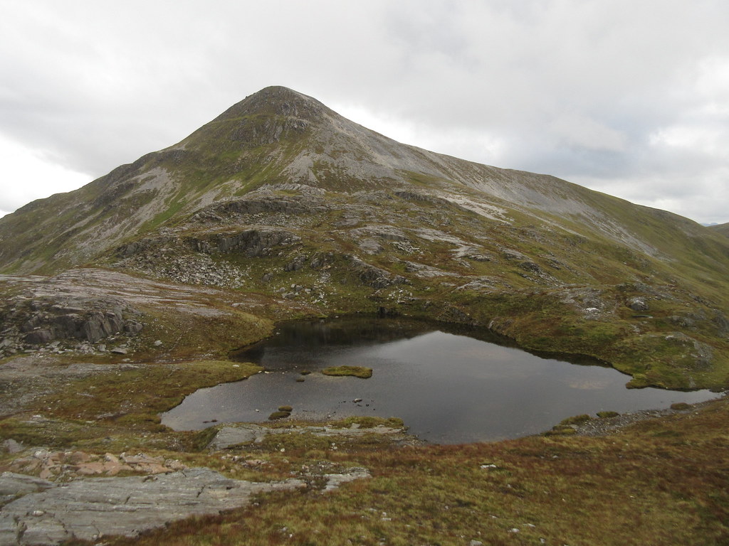
Loch a’ Bealach Bheithe and Sron Bealach Beithe:
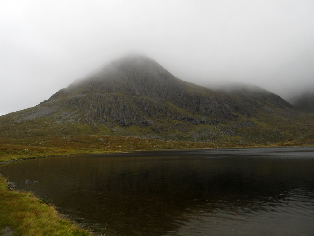
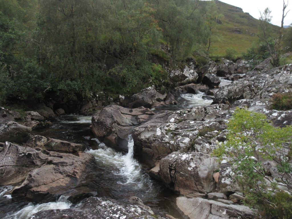
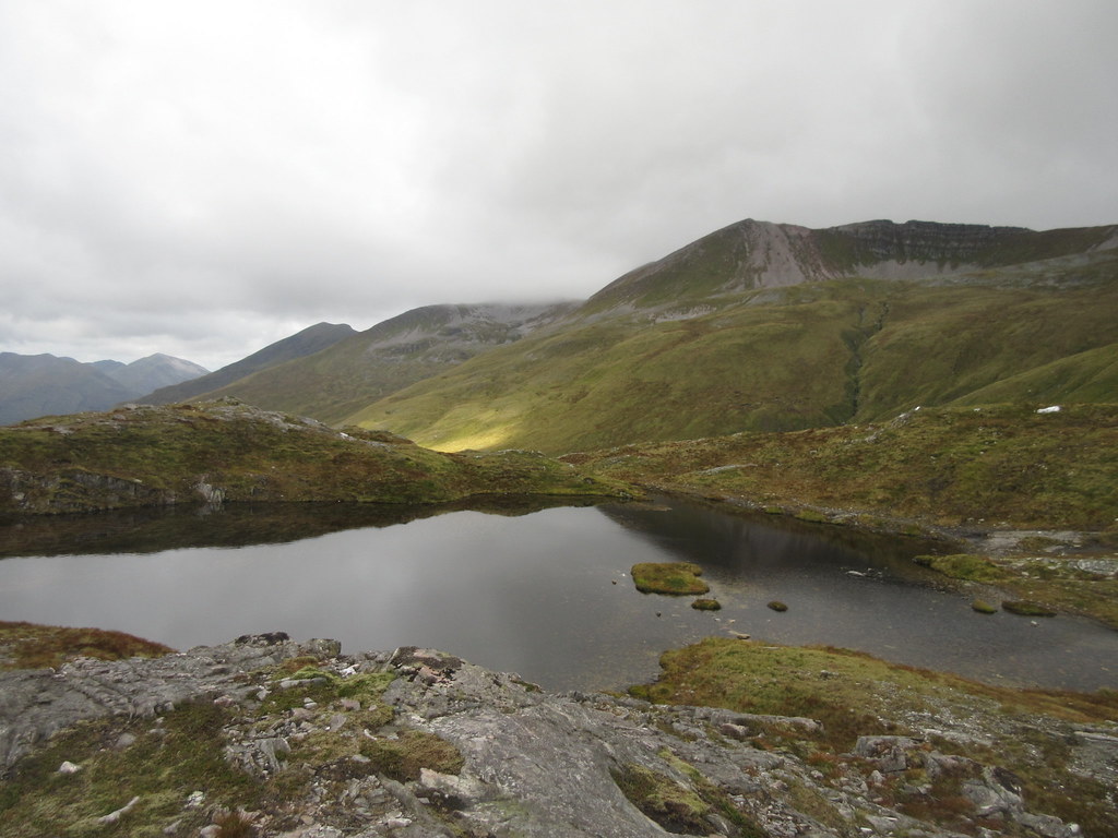
The stalker's path up to Loch a' Bealach Bheithe is really well looked after until it reaches the shores of the loch itself, at which point it deteriorates into a boggy mess. I had never really seen this loch before, despite a couple of walks up Ben Alder and Beinn Bheoil, as the weather had always been rubbish, and it wasn't much better now, with short showers passing through. For this reason, I had no desire to go over either hill today unless there was a chance of some views.
At the far end of the loch, the path improved again, and looking back from the final rise to the summit of the pass, Beinn Bheoil appeared to have cleared the clag. On the spur of the moment, I decided to leave the path and head up to Sron Coire na h-Iolaire for the views down Loch Ericht. I dumped my overnight pack and floated up to the summit......where the clag had now dropped back down. Bugger!
Loch a’ Bealach Bheithe and Beinn Bheoil – appears to be clearing:
Oh no it isn’t! Loch Ericht from Sron Coire na h-Iolaire:
I hung about for a bit to see if things would clear, but they didn't. The light was now starting to go so I decided to get back to my bag and get to the bothy before dark.
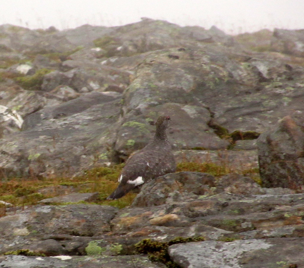
Ptarmigan:
The path down from Bealach Breabeg is less obvious on the south side, and it took me a little wandering through heather before I managed to pick it up again. With my watch broken and my phone mostly switched off to conserve the battery, I hadn't been paying much attention to time today, so the failing light had taken me by surprise somewhat - the nights are rapidly drawing in now!
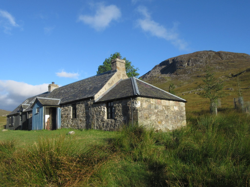
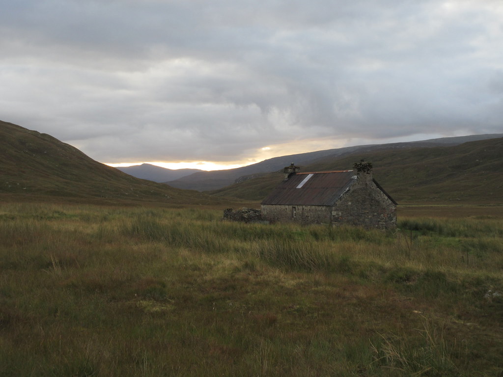
This was my 3rd time staying at Ben Alder Cottage, and the first that I had had it to myself (although I could see in the log book that I had just missed Robin by a day). Last time had been in mid December 2005, when a friend and I had walked in under a perfect starry sky from Loch Rannoch, arriving at 1:30am to find the place practically full!
Monday 19th September (day 2): Ben Alder Cottage to Meanach. 30km, 1790m ascent, 10 hours.Woke up to a sunny morning - much more the sort of thing I had been hoping for! After a leisurely breakfast, I was on my way just before 9:30. I was almost persuaded up onto Ben Alder, as it was clear and in the sunshine, but this wouldn't have helped with my progress west, so I left it for another time.
Ben Alder cottage:
Sgor Gaibhre and Sgorr Choinnich from the bothy:
Sgairneach Mor above the bothy:
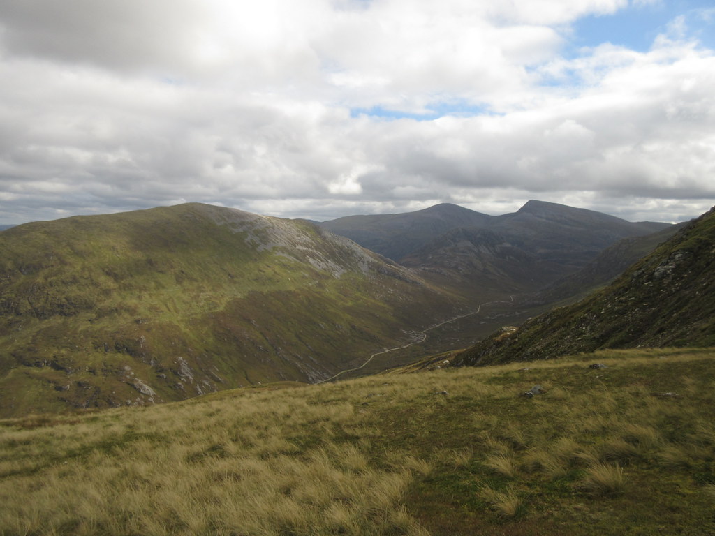
Instead it was onto the good path up to Bealach Cumhann, from where I was able to strike up steep slopes onto the SE shoulder of Beinn a' Chumhainn itself. This hill doesn't have an overly striking profile, but it had always stood out on the map to me - first time in this area, I had wandered why it wasn't in the Corbetts book. I think it is actually an ex-Corbett, just lacking a couple of meters of prominence between it and Sgorr Gaibhre.
Looking back at the bothy:
Bealach Cumhann with Beinn a’ Chumhainn on the left:
On the SE ridge of Beinn a’ Chumhainn:
Stalking had been a minor concern to me for this trip, but as I didn't have a clear route in mind, I decided to play it by ear. I would have been happy to change my route if required, but I had a feeling today would be fine once I got onto the ridge. As it happened, I didn't see any stalking activity at all over the 3 days.
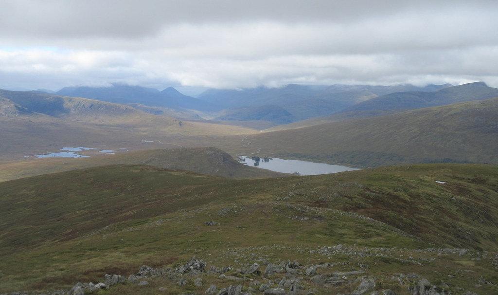
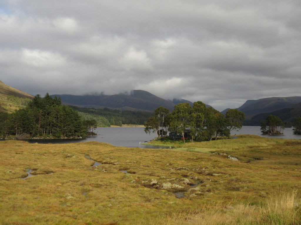
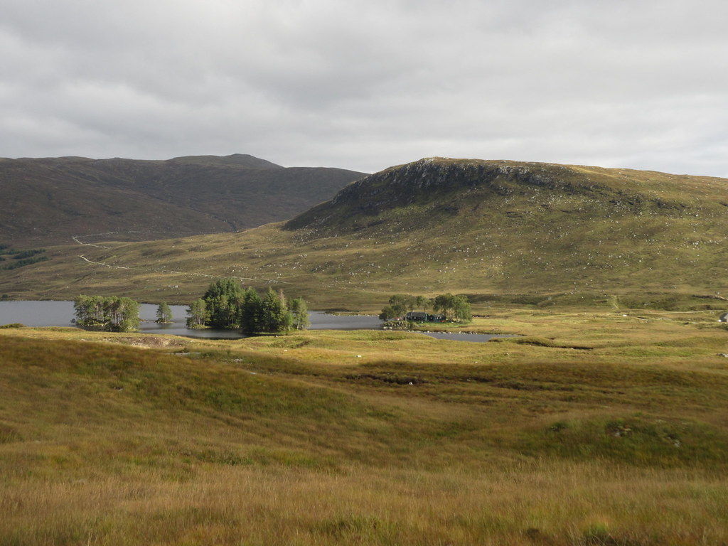
Loch Ossian:
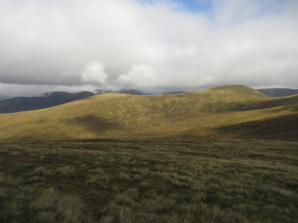
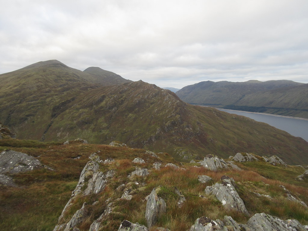
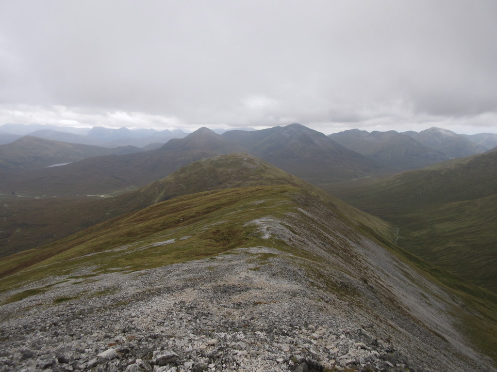
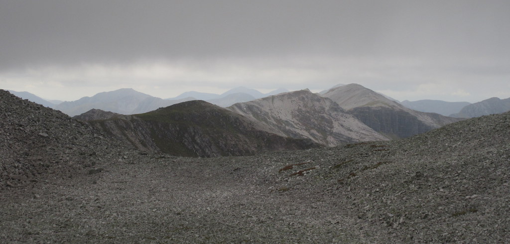
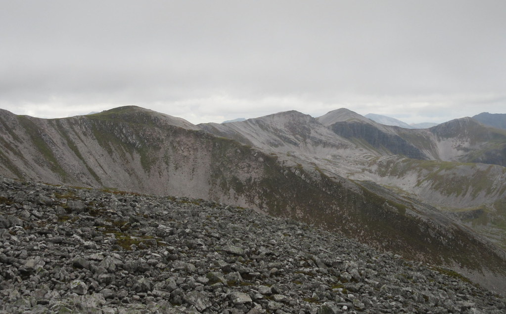
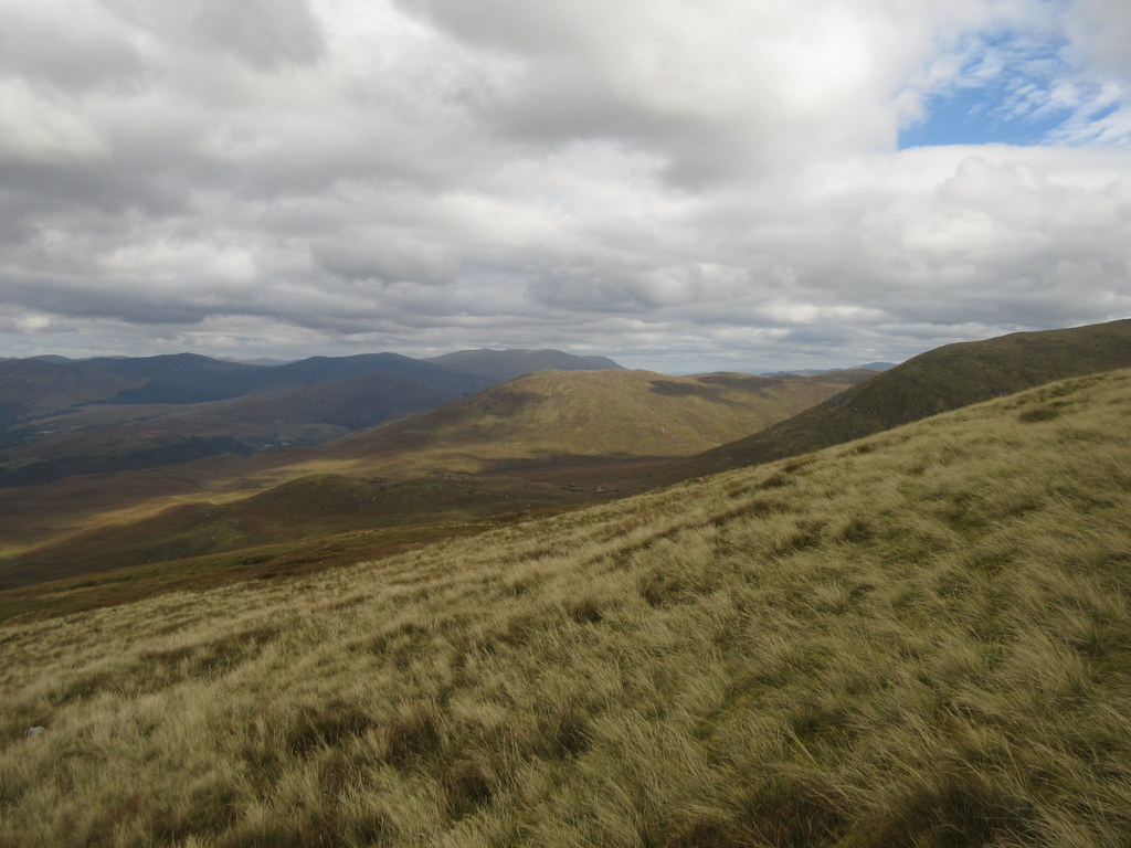
I was now looking forward to an easy traverse to Carn Dearg. Although there is a reasonable amount of up and down over the 5 summits of this ridge, the going is mostly on short, dry grass, with the occasional steeper, rockier bit. Not as interesting as Ben Alder and Beinn Eibhinn, but lovely walking with an overnight pack. Many of the higher summits were looking grey and claggy, but there were plenty of patches of sunshine around.
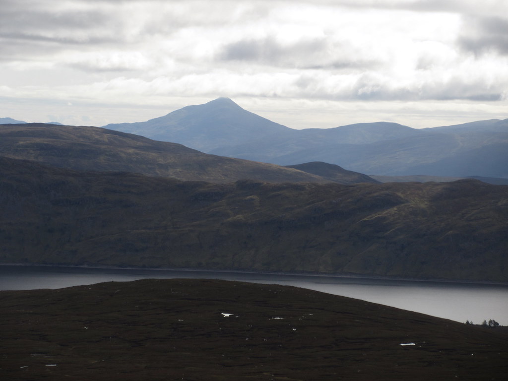
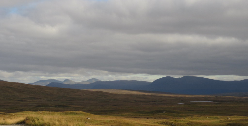
Loch Ericht and Schiehallion:
Last time I had been up these Munros was 2004, when I had also approached from Dalwhinnie and Ben Alder Cottage. That time however, the weather had been rubbish, so I had slopped directly up to Loch a' Bhealaich from the bothy then got straight onto Sgorr Gaibhre, missing out the top of Sgorr Choinnich.
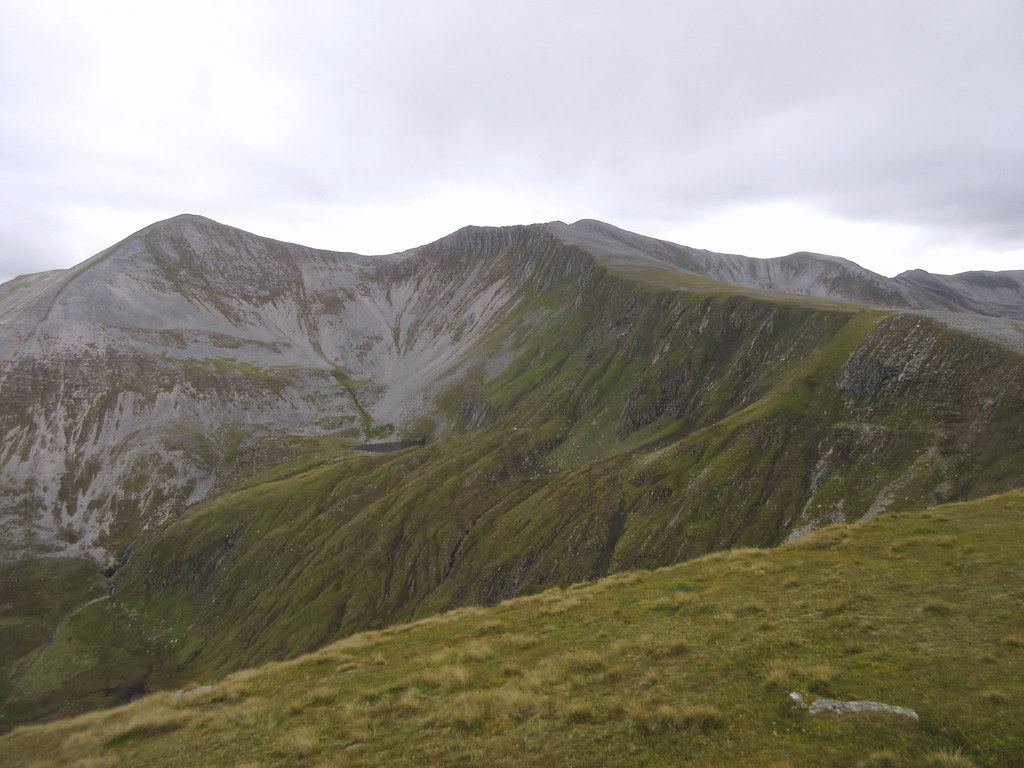
Sgorr Gaibhre and Sgorr Choinnich:

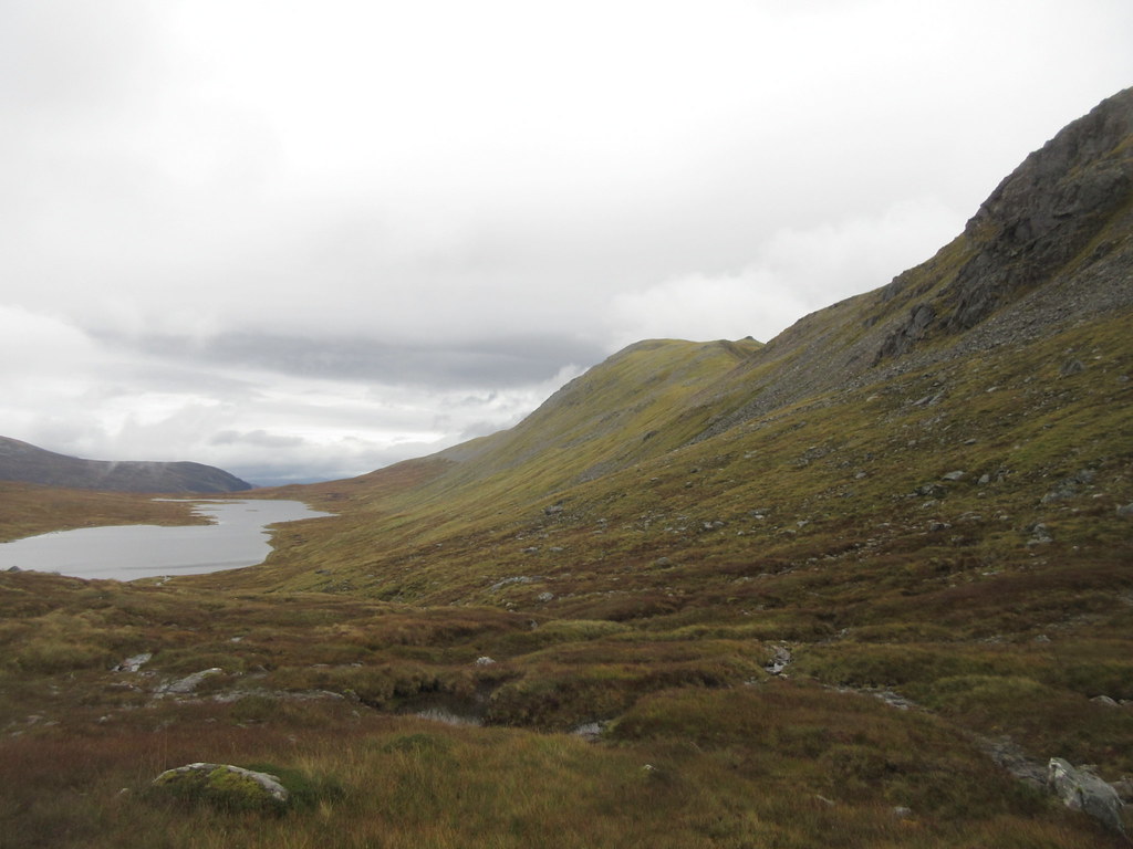
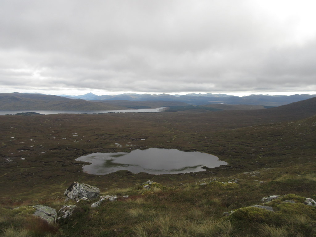
Loch a’ Bhealaich with Perthshire hills beyond:
Back to Geal Charn and Ben Alder:
Sgorr Gaibhre:

Loch a’ Bhealaich and Sgorr Choinnich:
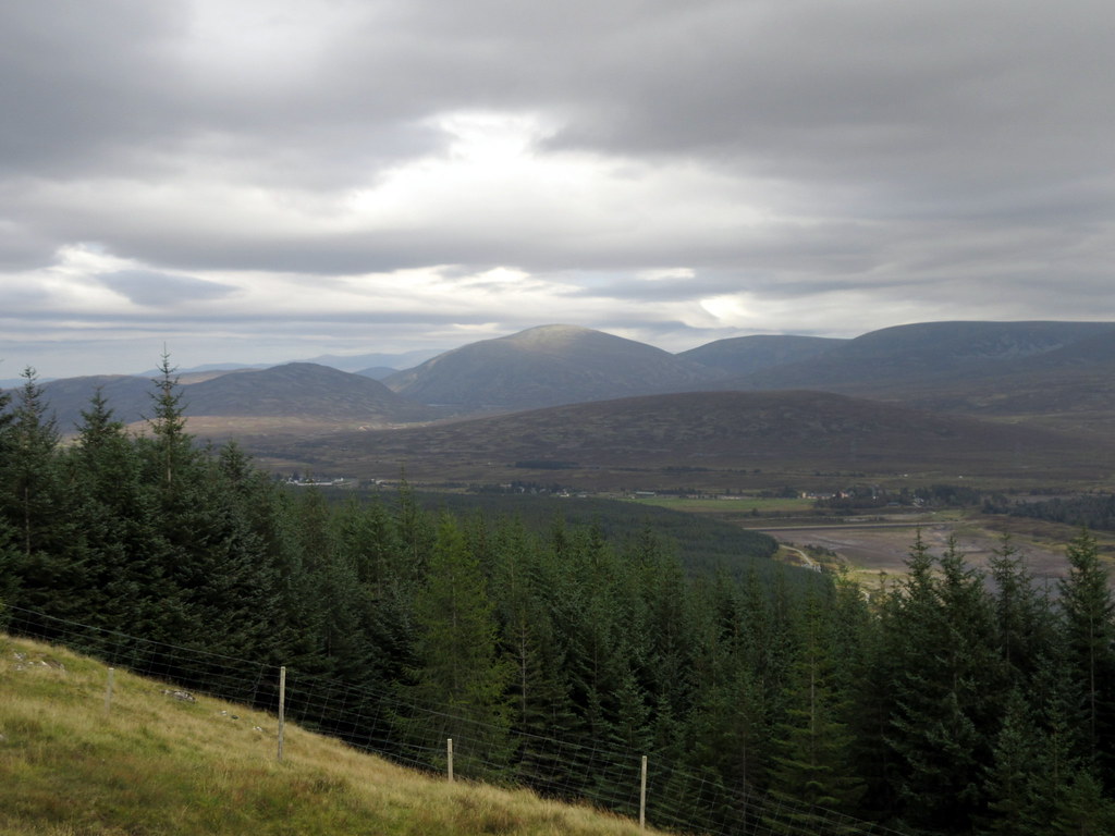
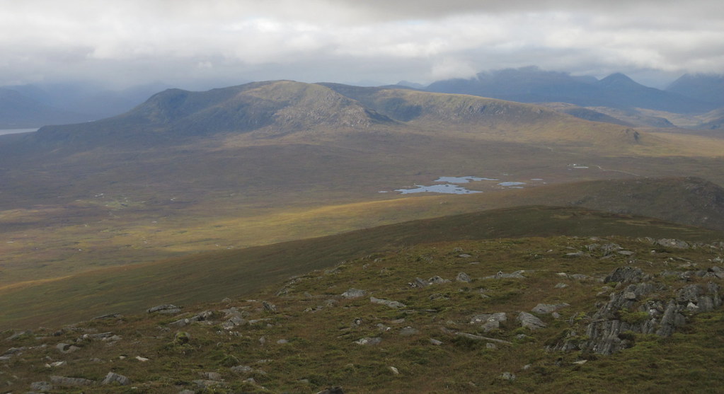
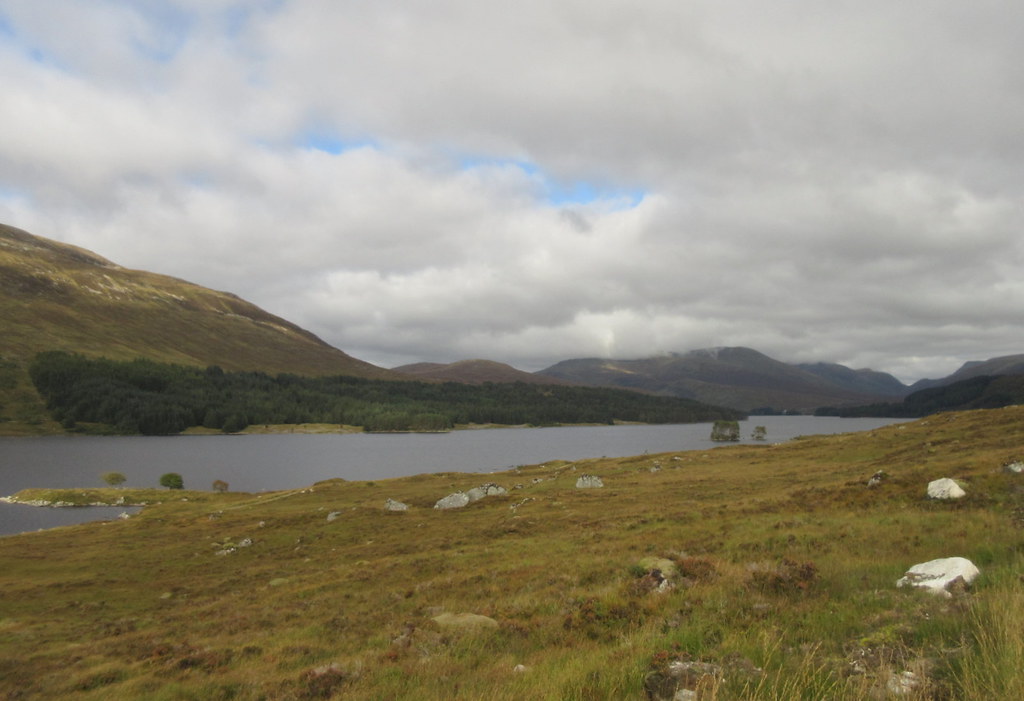
Corrour and Chno Dearg:
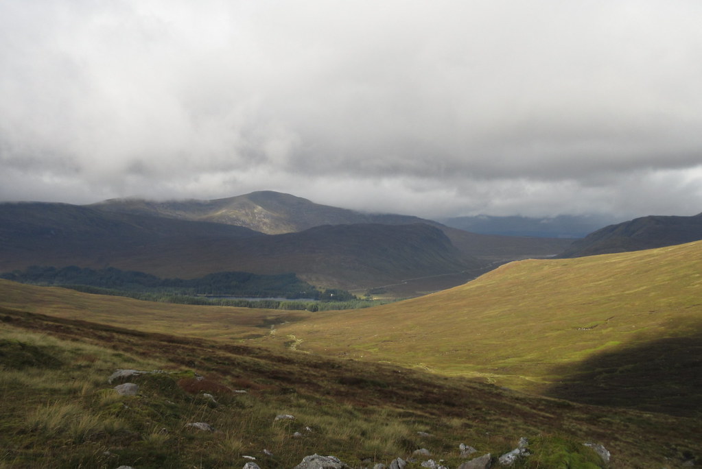
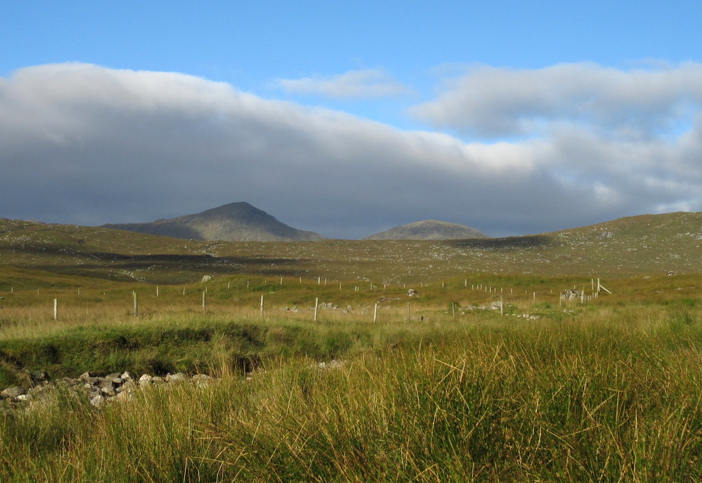
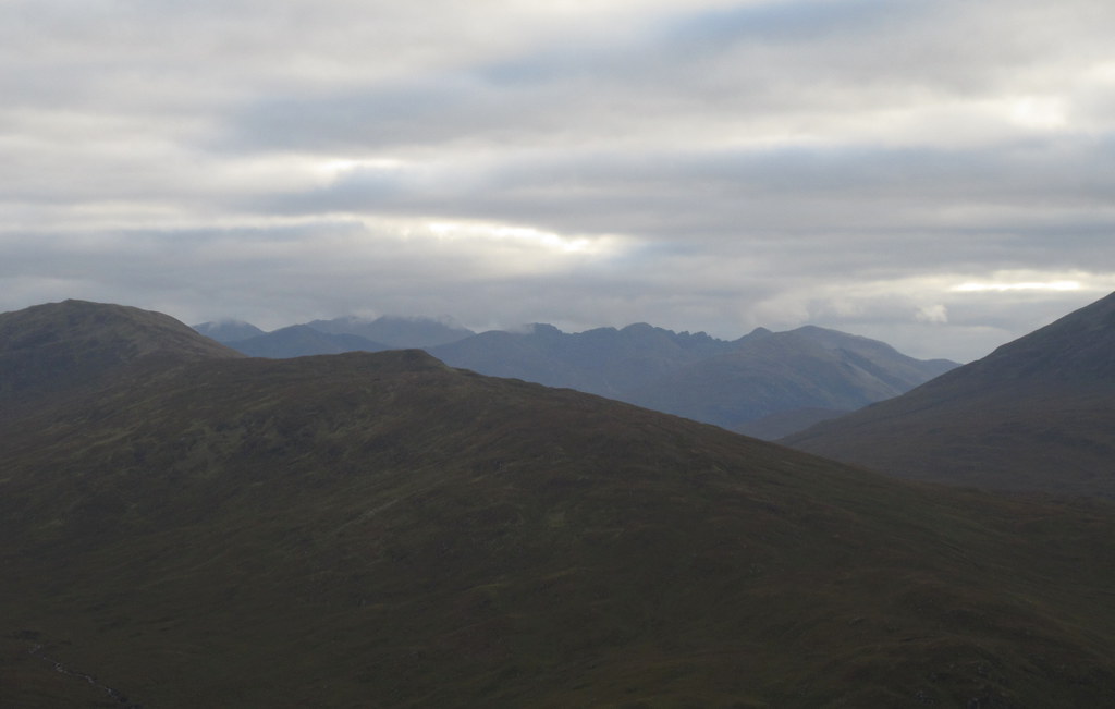
Sgorr Gaibhre and Sgorr Choinnich were rockier than remembered, and not bad hills at all. Finally heading for Carn Dearg, I met the first other walkers of the day - a trio who had started off near Rannoch Station to do the more conventional round (although the younger member of the party was off to include Beinn na Lap as well). Carn Dearg was in the cloud at this point, but by the time I approached it, it had blown away to reveal a sun-dappled Rannoch Moor and Leum Uilleim.
Sgorr Choinnich:
Leum Uilleim:
Chno Dearg and Strath Ossian:
Towards the head of Glen Nevis:
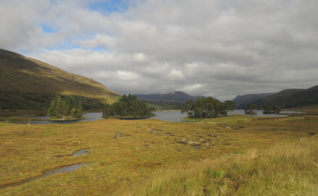
Binnein Beag, Creag Ghuanach and Loch Ossian:
Time to drop down to the Road to the Isles - passed another person here, coming up from Corrour Lodge. On my last visit I had taken this route down and then headed back through the Bealach Dubh to Culra. This time I was carrying on west.
Binnein Beag and Corrour station:
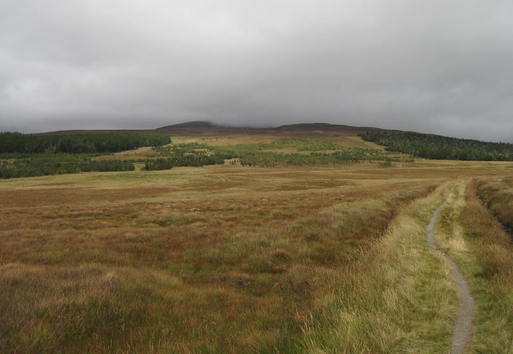
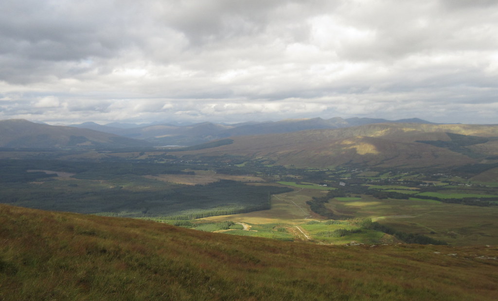
The easy walking was briefly interrupted by deep heather lower down on Carn Dearg, but before too long I was on the Road to the Isles. I knew some of this had been upgraded recently for access to a hydro scheme, but initially I couldn't understand why the upgrade went the whole way from the Rannoch Station road to Loch Ossian. Turns out the power cable from the Corrour Estate hydro schemes goes out this way, and once construction is complete, the track will be returned to a narrower path. We'll see if that happens.
Upgraded Road to the Isles:
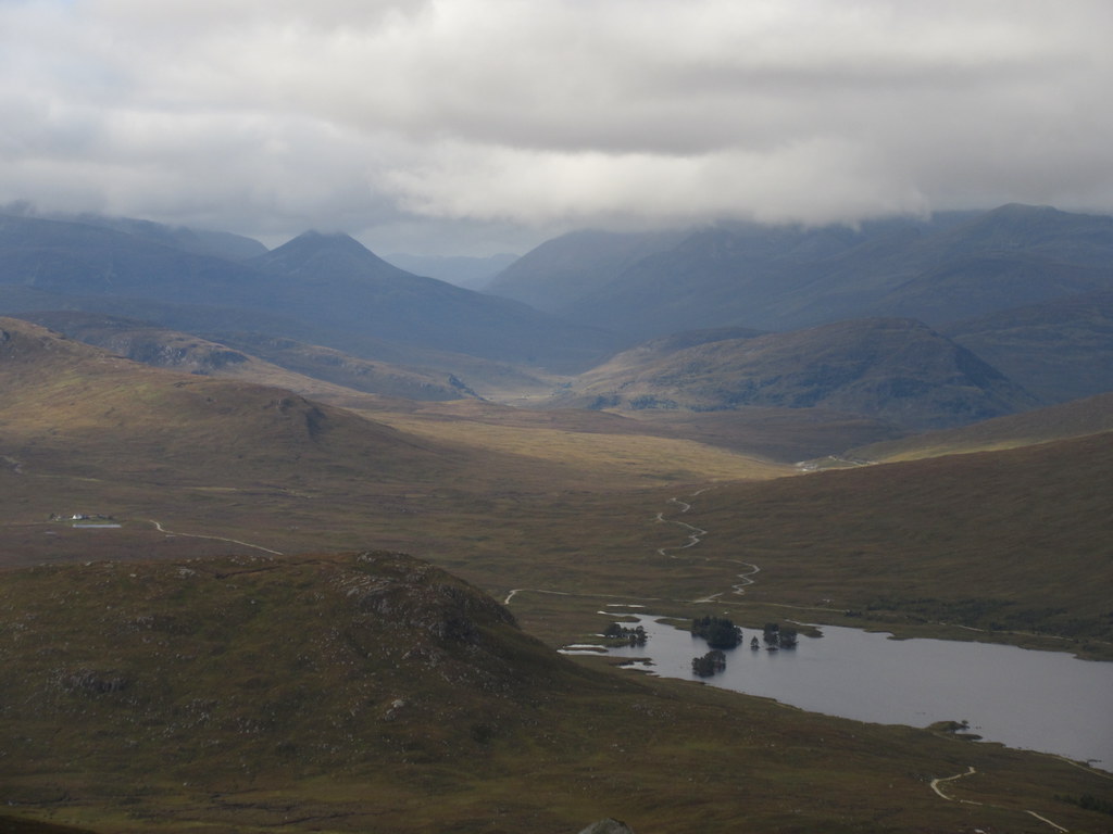
Still, the going on the track was probably quicker and easier than it was before, and before long, I was enjoying some nice mid-afternoon sunshine down at Loch Ossian. The youth hostel looked well-placed, and made me think of perhaps staying there sometime.
Loch Ossian and Beinn na Lap:
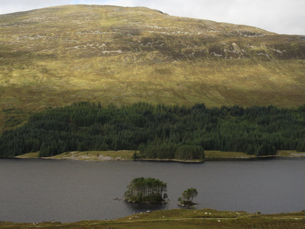
Loch Ossian:
Loch Ossian SYHA:
…with Carn Dearg behind:
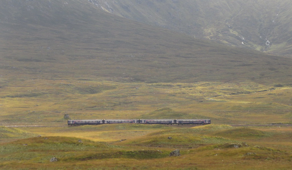
Train at Corrour station:
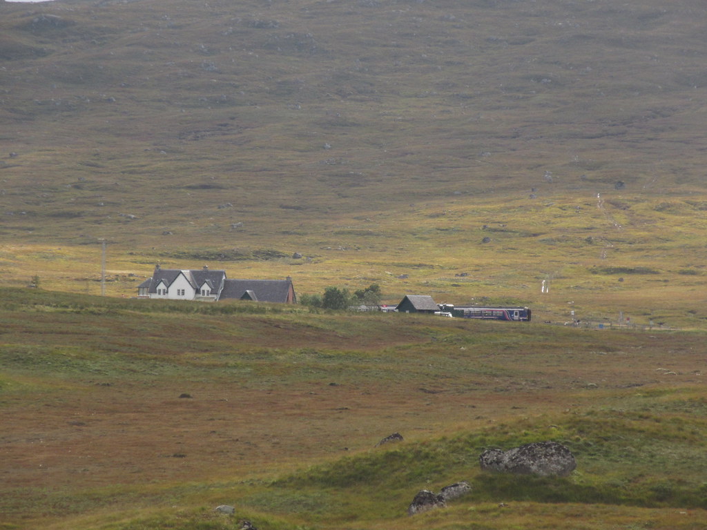
Train heading to Fort William:
Climbing away from Loch Ossian over the flank of Beinn na Lap, I spotted a the northbound afternoon train. This is the one I would need to be on if escaping home of an afternoon, as the next one is too late for the last bus to Inverness. No such hurry today though - instead I stopped off and pulled out my stove to make a cup of tea.
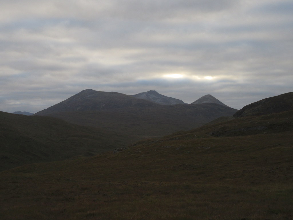
Ben Lawers and An Stuc:
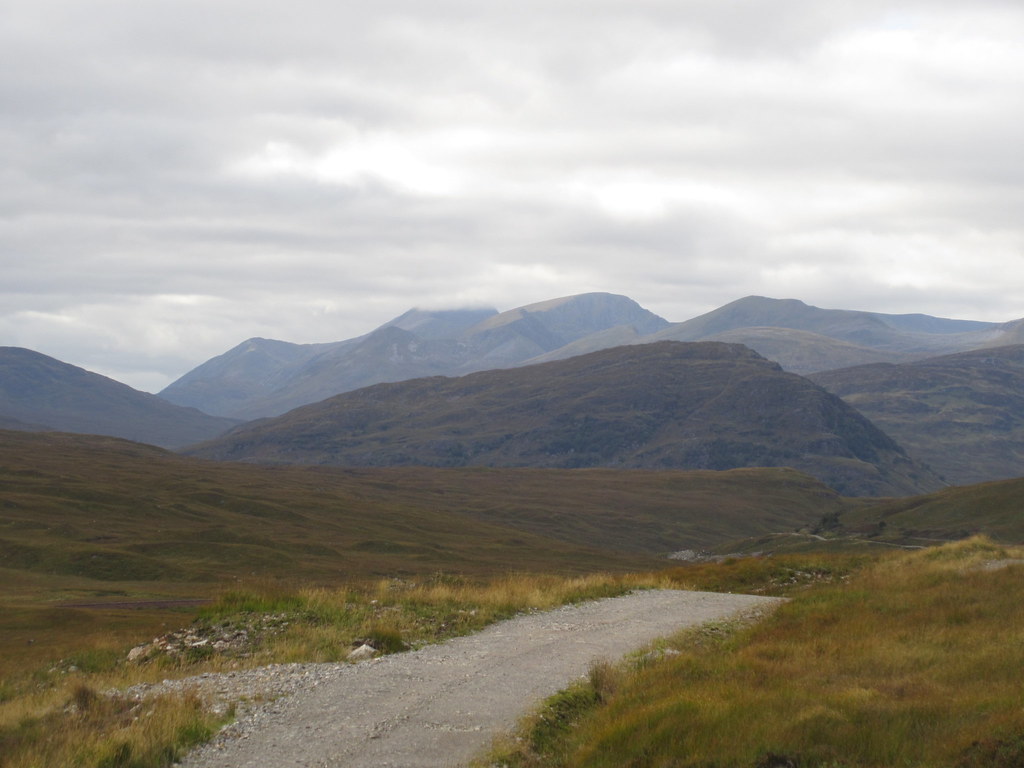
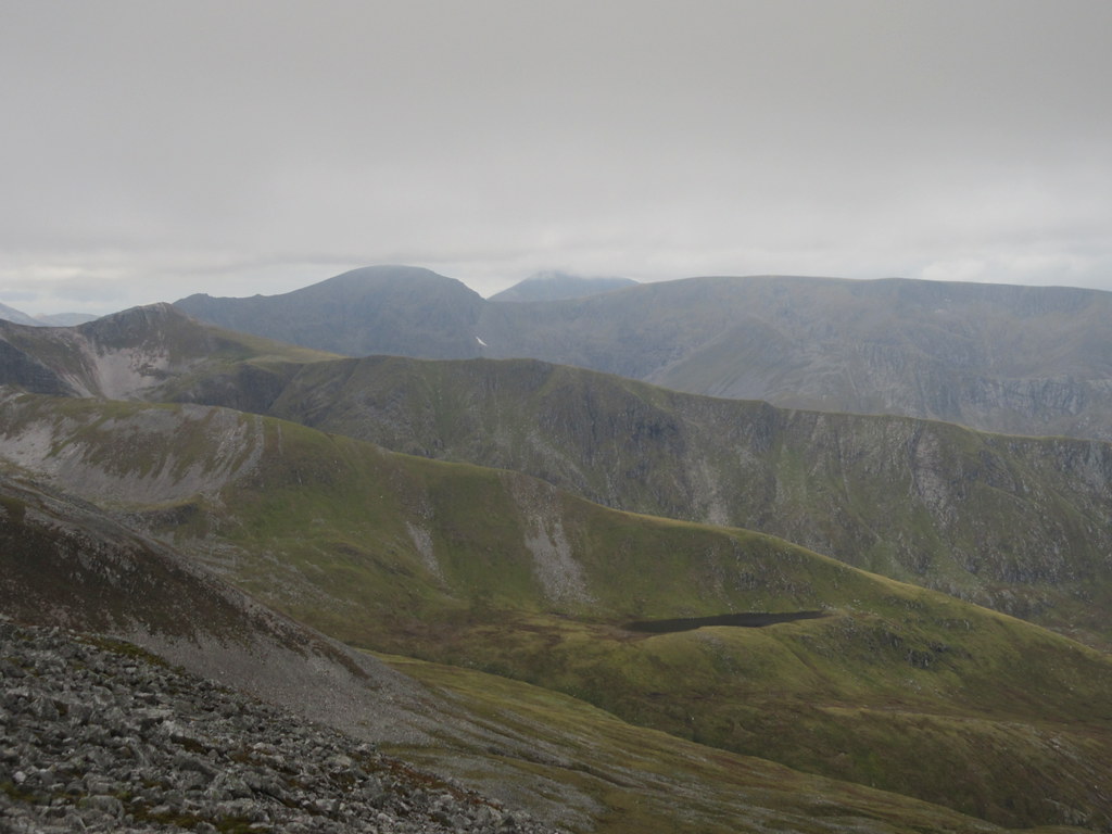
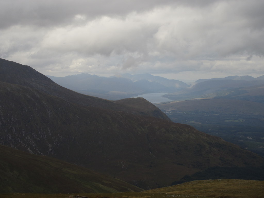
Top of Glen Nevis. The Ben in the cloud, Aonach Beag clear:
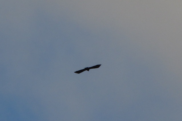
Eagle?
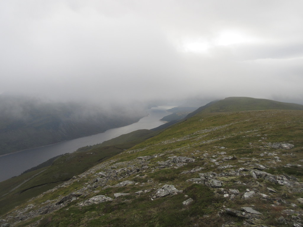
Descending to Loch Treig:
An impressive descent to Loch Treig, where the powerhouse for a new hydro scheme was under construction. I was now faced with Creag Ghuanach, which I had rather enjoyed on my last visit to this area. There was no need to go over it, but I remembered a potential scramble up the E ridge that I had missed out on last time, so given the reasonable weather and time, I thought I'd give it a try.
Creag Ghuanaich and lodge:

At the lodge:

I crossed the bridge to the lodge then turned sharp left, crossing a flattish boggy area. As with most scrambles on the smaller hills (outside of Inverpolly and the islands at least), it was more of a vegetation scramble than a rock one, involving lots of fighting through bracken and pulling myself up on armfuls of heather, hoping they stayed attached to the ground. Where there was rock, it was usually on the bits too steep for anything to grow, and was consequently unclimbable as far as I was concerned.
Loch Treig:
There were a few moments where I edged up weaknesses in slabs of rock, but mostly it was about hauling yourself from one heathery terrace to the next. The direct east nose looked too difficult so I found myself outflanking it by heather-covered slabs and terraces to the left (overlooking the Abhainn Rath) .Hard to say whether I'd recommend it or not - it provided some interest, and in retrospect, wasn't overly difficult, but on the way up there was a gradually increasing level of concern that I was backing myself into a corner that I couldn't get out of, which would involve an awkward and exposed descent to get around. While the going certainly got steeper and steeper, I fortunately topped out before reaching anything I couldn't get up.
Second section of the E ridge:
[
Looking down:
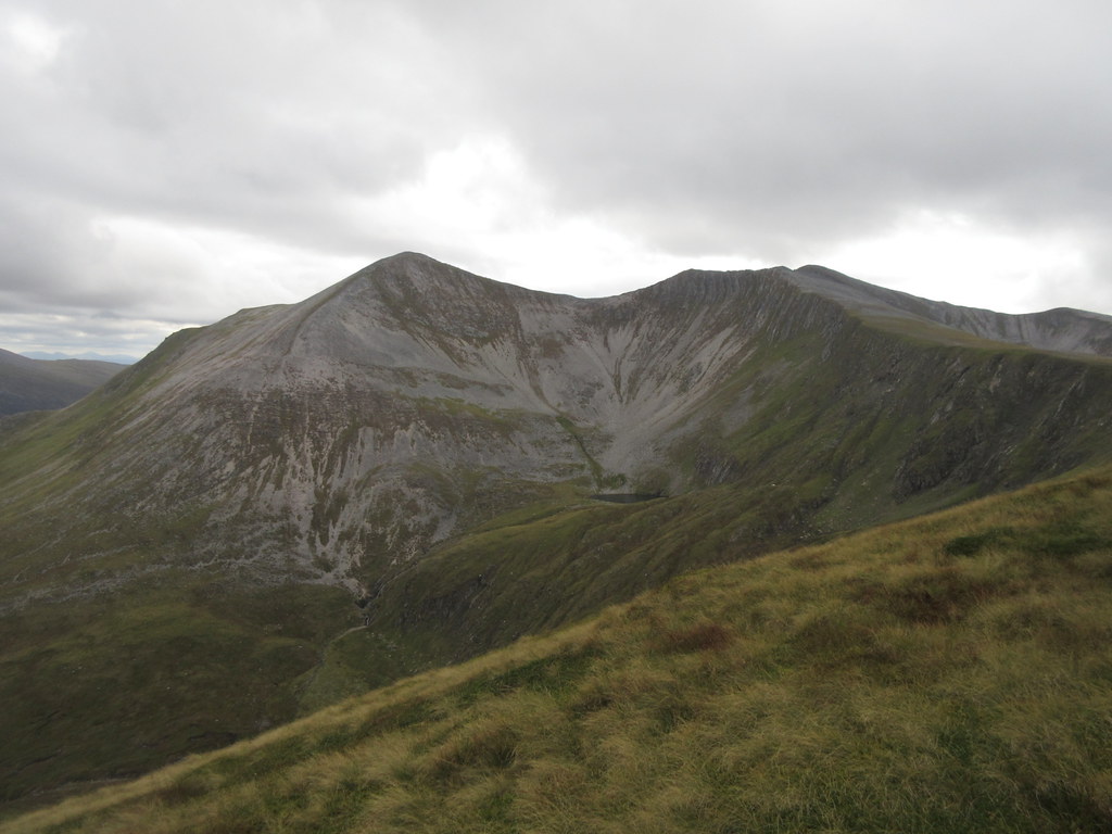
An easy 5 minute stroll took me to the summit. Good views and a nice feeling of isolation here, although the light wasn't quite as impressive for photos as on my 2011 ascent.
Easain and Mheadhoin from the summit of Creag Ghuanach:
Buachaille:
Aonach Eagach:
Binneins and Sgurr Eilde Mor:
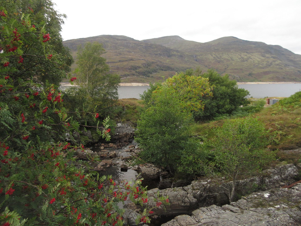
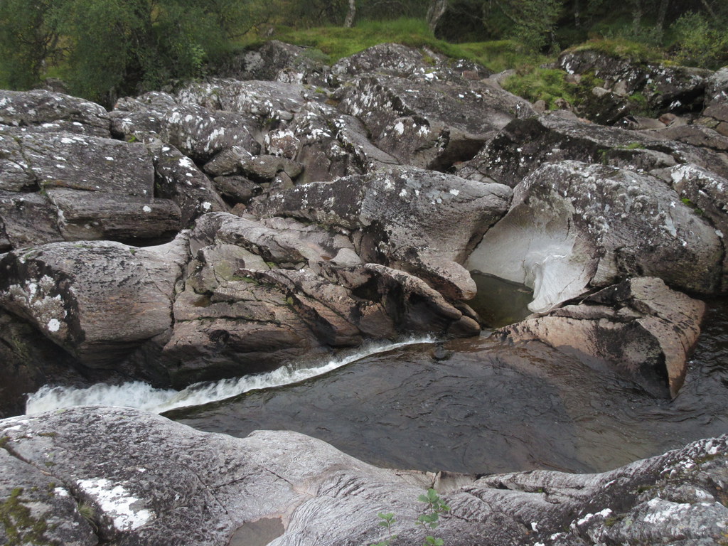
Staoineag bothy was right at the southern foot of Creag Ghuanach, a mere 15-20 minutes away, but I decided to aim for Meanach bothy instead. I still had time to get there before dark, and it would leave me further west and better placed for tomorrow's walk, whatever that was going to be. A quick descent over tussocky grass took me to some attractive waterfalls, from where it was a slightly squelchy walk to the bothy.
Waterfalls on the Abhainn Rath:
Approaching Meanach:
The bothy had 2 other occupants, and looked like it was pretty popular, judging by the amount of rubbish around. Annoying - you think you have got the weight and bulk of your bag down a bit for the final day and you end up filling it with other people's beer cans and shite

.
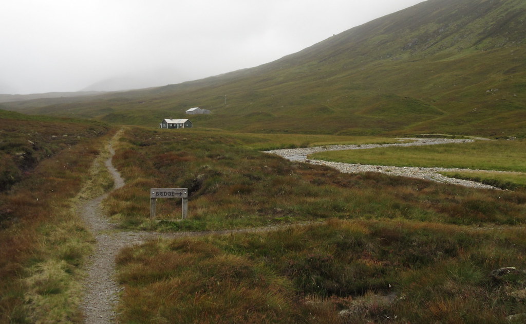
Tuesday 20th September (day 3): Meanach to Spean Bridge. 19km, 1190m ascent, 6 hours, 30 minutes.Despite my camping intentions on this walk, the tent had ended up serving as nothing more than a rather heavy pillow. The midges were bad at first light, but had died down a bit by the time I was ready to leave. My bothy companions had seen the only evidence of stalking yesterday before I had arrived. A landrover with an argocat on a trailer had been parked across the river at Luibeilt. They were staying low-level, having walked from Corrour station the day before, and were off down through Glen Nevis to Fort William today. They were undecided as to whether to avoid the landslide on the Steall Gorge path by the recommended diversion through Bealach Cumhann, or by the other side of the Water of Nevis.
Leaving Meanach:
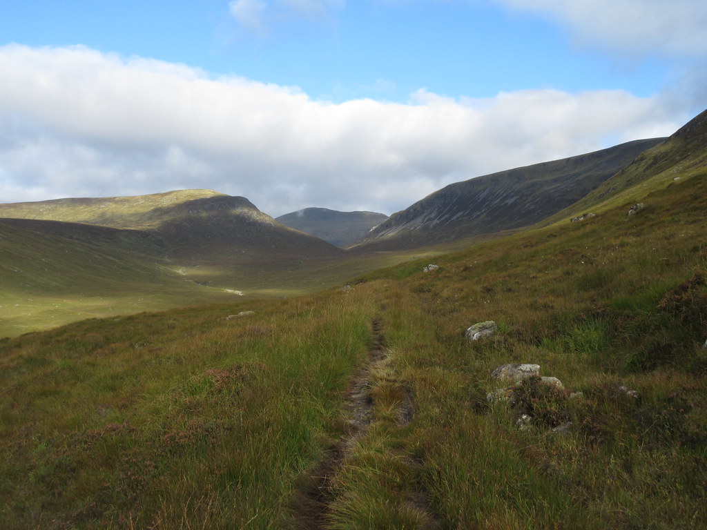
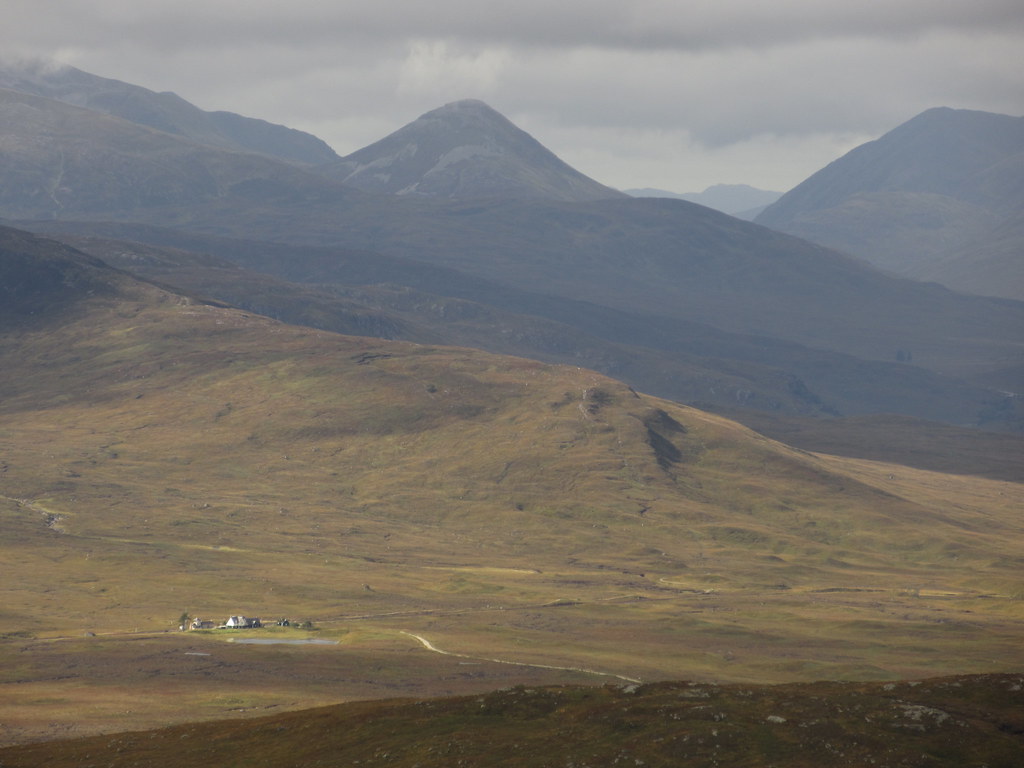
I had also been undecided on my onward route for today. A crossing of Aonach Beag and Aonach Mor had been a possibility, or given a really promising forecast, perhaps a full traverse of the Grey Corries and Aonachs. In the end, given the grey claggy nature of the morning, I opted for a fairly short traverse of the eastern Grey Corries and a descent into Spean Bridge rather than Fort William. This would allow me to get the mid-afternoon bus home rather than the one which didn't leave Fort William until 8:40pm. Due to service cuts, there is now nothing in between those two.
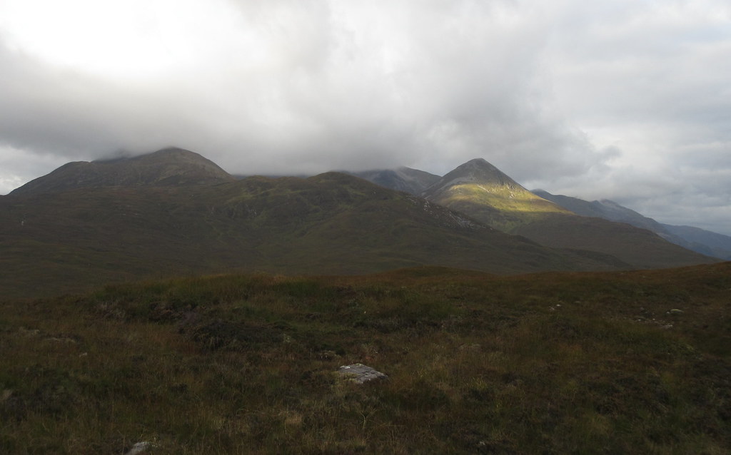
Carn Dearg:
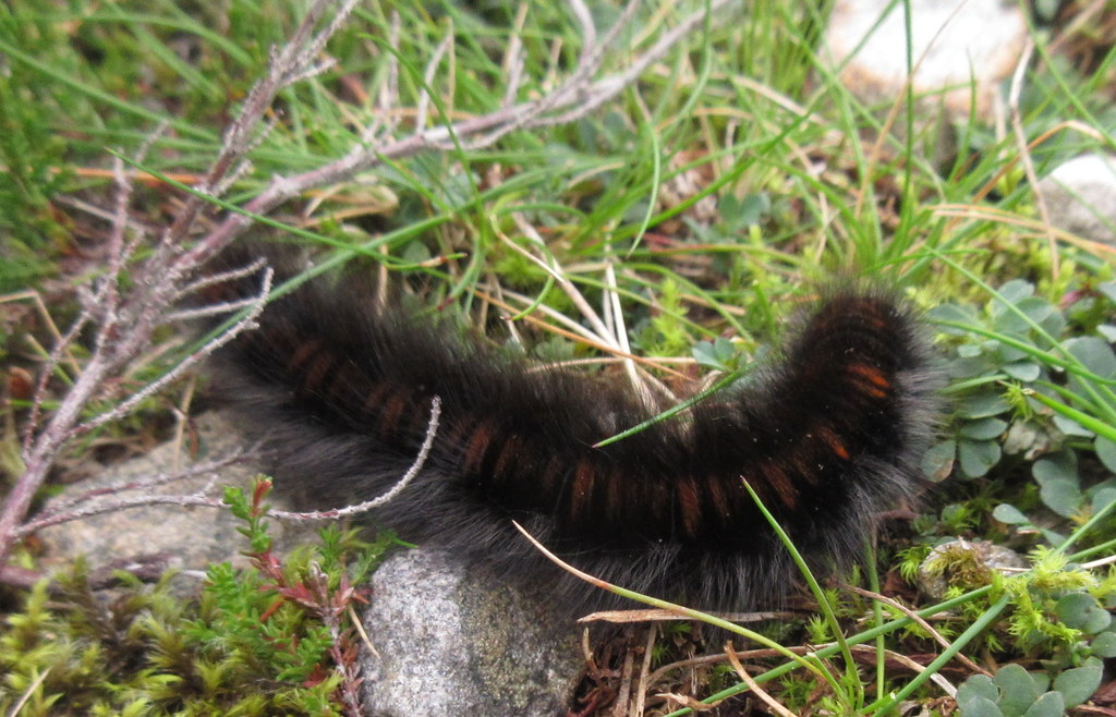
Caterpillar:
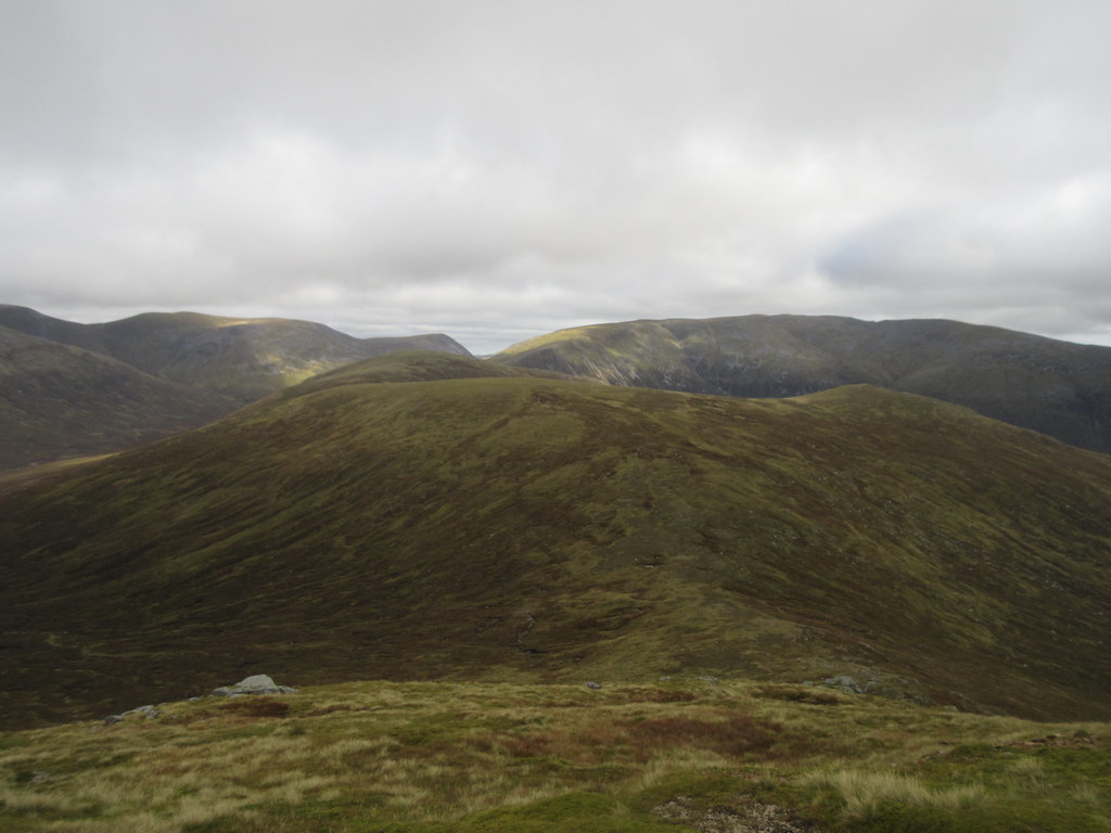
A good path took me towards Lairig Leacach, which I left to gain the flank of Meall a' Bhuirich. I hadn't been too bothered about including this summit initially, but it looked like it might be the only one clear of the cloud, so I decided to go up it. Once up the steep flank, it provided easy walking up to Stob Ban, and what would normally be a good view of the Mamores.
Mamores with Binnein Beag:
An Gearanach:
Stob Ban:
Back to Meall a’ Bhuirich:
These hills were last visited by me even further in the past. They had been my last short trip up to Scotland from North Wales almost exactly 16 years ago. 3 weeks later I moved up for good. Back then I had stayed in the SYHA at Glencoe, walked over the 3 eastern Grey Corries Munros from Coirechoille and driven back home that evening.
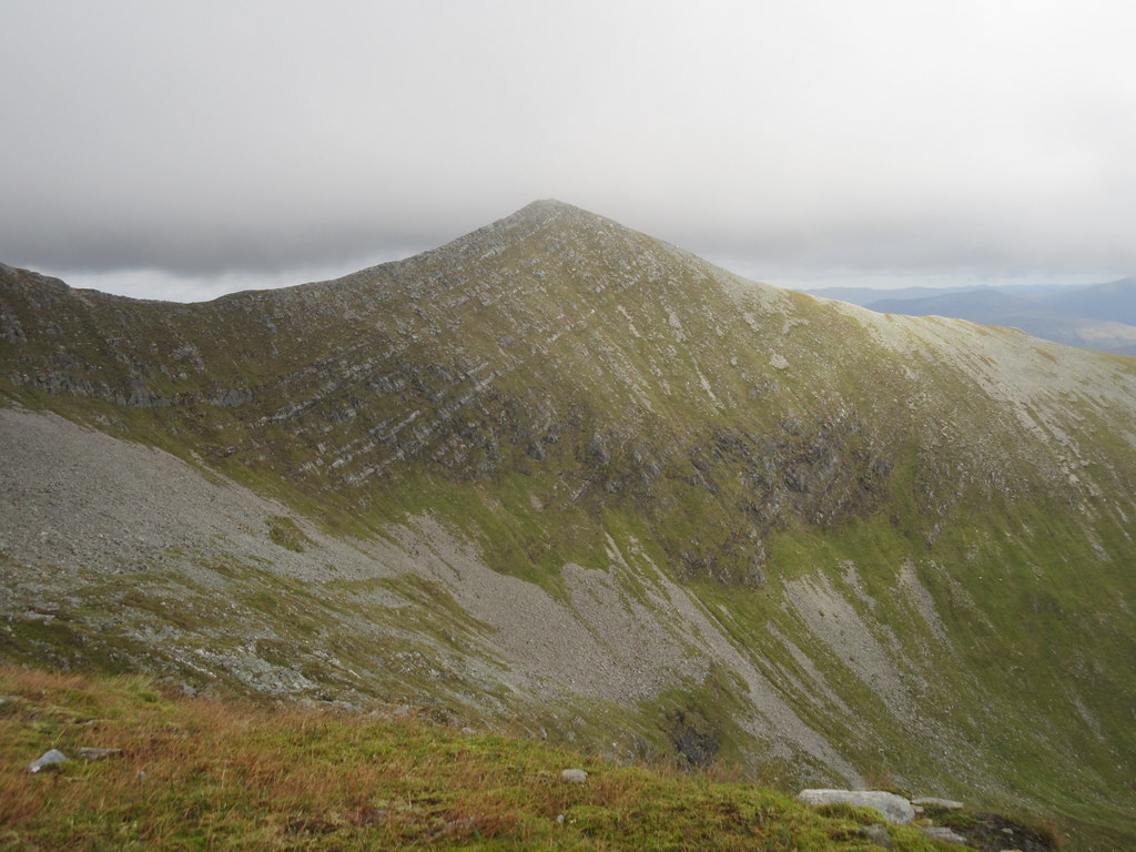
Going up Meall a' Bhuirich had paid off - the extra 30-40 minutes it had taken me had allowed Stob Ban to clear of cloud, although the main ridge was still covered. A steep and skiddy descent to the northern col left me with the last significant ascent of the walk - onto Stob Coire Claurigh.
Stob Coire Cath na Sine across Coire Rath:
Stob Ban:
Sgurr Innse and Loch Laggan:

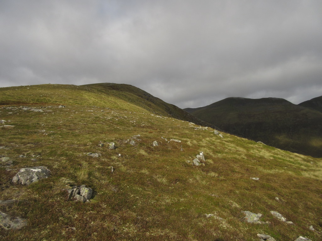
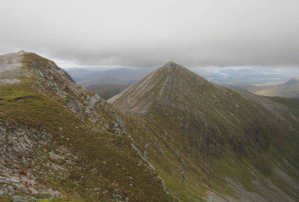
The south ridge of Stob Coire Claurigh was much easier than I remembered - a speedy way of gaining height. The cloud was lifting here too, and I had a break on the corrie rim overlooking Stob Coire na Ceannain - an impressive sweep of arête.
Stob Coire na Ceannain:
Blue sky on Stob Coire Claurigh (until I got there):
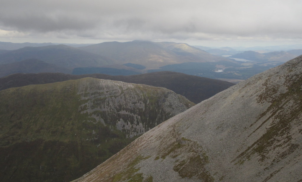
The cloud swirled about on the last 50m of Stob Coire Claurigh, but it wasn't hard to get out of it, scrambling down the quartzy N ridge. A little further down over Coire na Ceannain, the quartz laid off, and the going was over easy cropped grass. Where the main Grey Corries ridge decided to emerge from the clag, it looked impressive. Aonach Beag looked less impressive in the slightly dull light and haze.
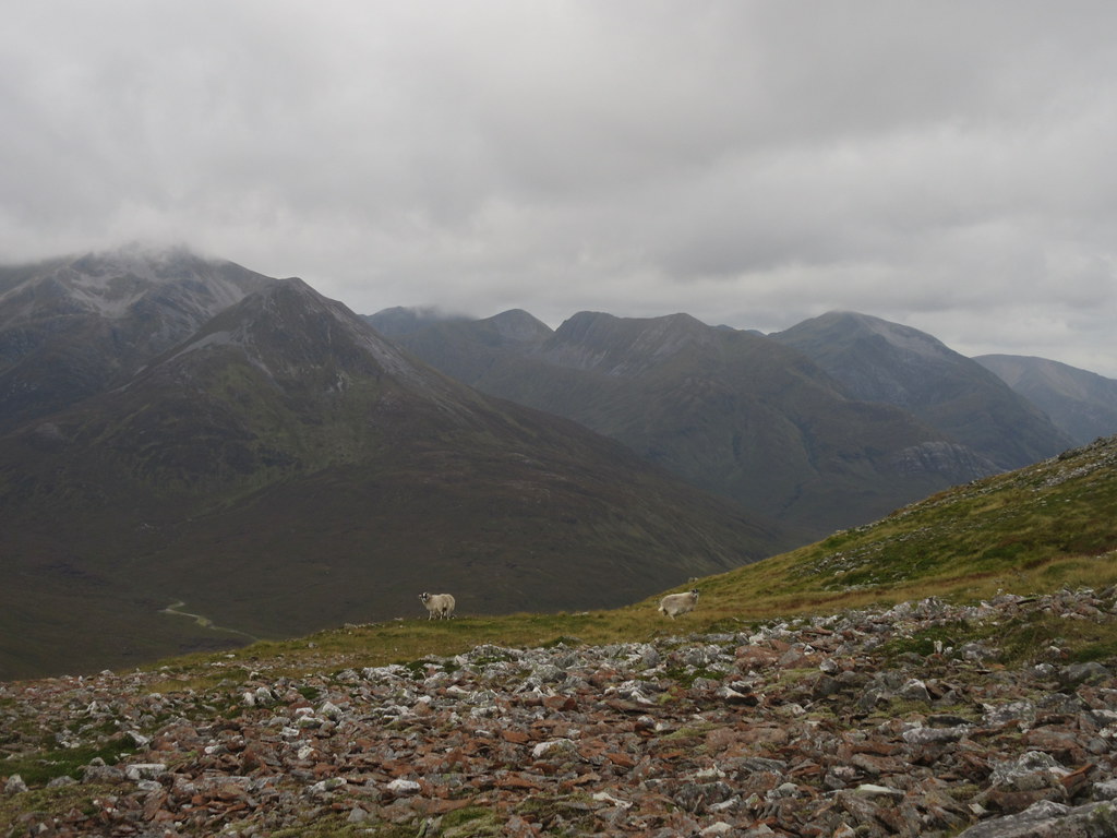
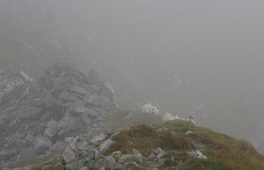
Sheep on the ridge:
Stob Coire na Ceannain:
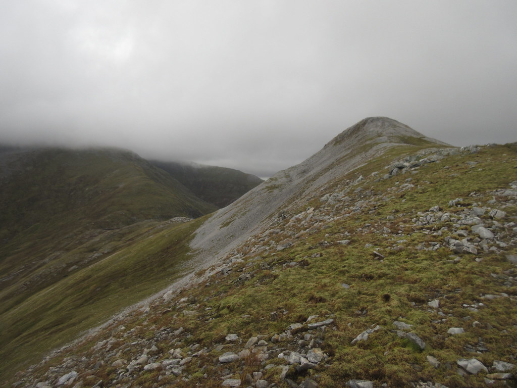
Ridge down from Stob Coire Claurigh:
Main Grey Corries ridge:
Across to the Aonachs:
East to Creag Meaghaidh and Loch Laggan:
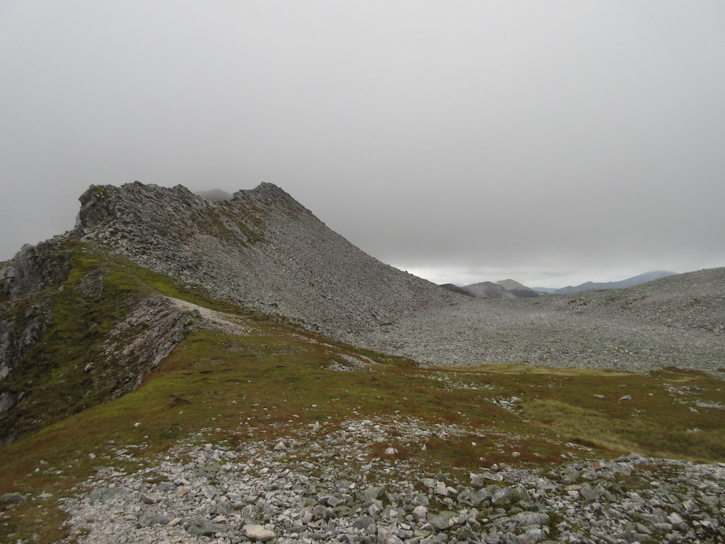
An easy stroll over grass took me to the slight rise over Stob Coire Gaibhre, another Munro top I had missed out on previously. Then it was another easy descent to the trees of Ruigh na Gualainn. Here I was stopped in my tracks by steep crags in the trees, and decided I had better look at my map. Clearly I just needed to head a little further west to pick up the edge of the forestry plantation. Still steep, but a much easier way down the last 200m to the Lairig Leacach track.
Aonach Mor:
Stob Coire na Ceannain and Stob Coire Claurigh:
Loch Eil and Loch Shiel hills:
Spean Bridge and Glen Roy:
Cruach and Sgurr Innse with Easain and Mheadhoin behind:
Cnap Cruinn:
Glen Spean:
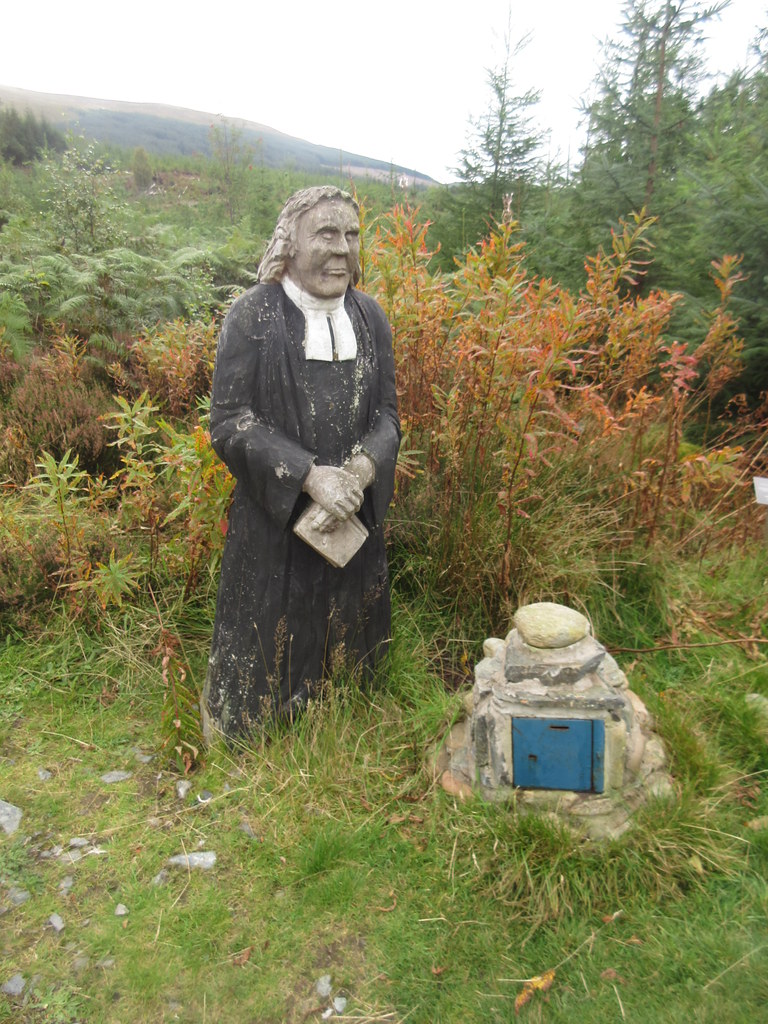
Then it was just an easy walk down past the Wee Minister, enjoying the gradual increase in sunshine. I've seen loads of photos of this, but never passed it before in the flesh. A plaque next to it said it was only put there in 2010, which would explain why I'd never seen it before.
Cruach Innse:
Wee Minister:
From Coire Choille, I took an ill-advised shortcut down an overgrown path to Cour Bridge. It started off well, but got wetter and wetter and disappeared further into the undergrowth. Thankfully I hit the road before it got too bad, and took a leisurely stroll back into Spean Bridge.
For some reason my phone was playing up, and didn't appear to be receiving a signal. I managed to send a text to Gill from a public phonebox for 20p, so at least she knew I was off the hills and on my way home. I wanted to check the bus timetables online, but I couldn't. I didn't trust the ones printed at the bus stop as they were 2 years out of date and included a number of services that no longer exist. I was sure the bus was due at around 3:35, but it actually turned up just before 4pm as stated by the timetable. If I had been more certain, I would have had a pint and some lunch in the Spean Bridge hotel (and probably received some Wi-Fi and checked the timetables), but as it was, I spent a good half hour just looking out for the bus.
While I would quite liked to have finished in Fort William, this was still an enjoyable 3 days. The middle day ended up reasonably long in the end, but on the whole I had managed to cut down the length of the days to something more enjoyable than some of my previous backpacks. Less of a challenge, more of a holiday.
