free to be able to rate and comment on reports (as well as access 1:25000 mapping).
For years we'd fantasised about a backpacking trip taking in the Braeriach – Devil's Point traverse – preferably from the north so we could walk the Lairig Ghru from south to north, having done it the opposite way many years ago. It was on our agenda in 2014 but the weather gods tricked us. 2015 came and went with little time for hills, 2016 was looking promising, but the problems of changeable weather and compliant dog sitters were stymieing our chances – so time for a serious discussion about which routes really had to be backpacked and which could be broken into day trips. We decided the B-DP traverse could be broken up – into 2 or even 3 trips - the up side to this was it would give us day trips in the east when that was the only place where we could find good weather. Even so we had two attempts pulled at the last minute because the weather window we'd been relying on slammed shut several hours early. Then one Friday afternoon, having given up hopes for the coming weekend, the forecast changed, the following day the clouds would lift by early morning and the strong winds abate by lunchtime. The bags were packed, the dogs alerted and we were off … Braeriach here we come.
Driving south on the A9 we could see the clouds were above the big Cairngorm hills – but just. We'd decided to opt for the circuit from Whitewells in the Rothiemurchus forest as this would take us along Gleann Einich, somewhere we'd only ever viewed from above. So just over an hour after leaving home we were booting up at Whitewells on a breezy, overcast morning. Would those clouds behave as predicted and lift – or would our wait still be in vain?
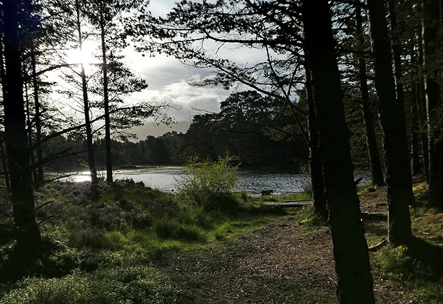
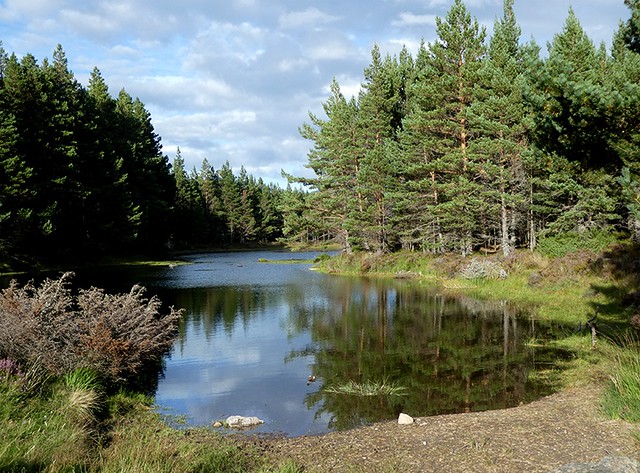
Passing the lovely Loch Deo – clouds glowering …
Thanks to Dogplodder's comments about missing the right path through the forest we were very careful to clock the junctions and so crossed the Am Beanaidh, for the first time that day, on the Cairngorm club bridge and headed towards the Lairig with no mishap.
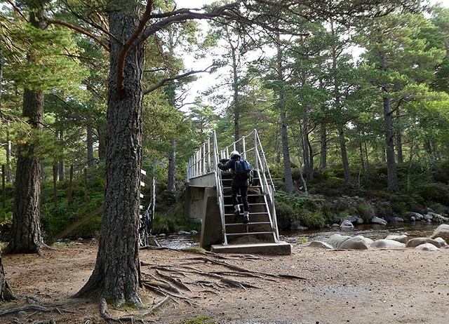
Am Beanaidh
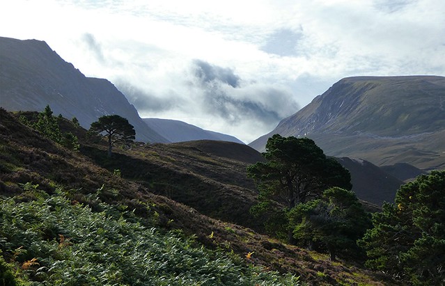
Once through the ancient Caledonian forest we could see the clouds were indeed lifting, looking north at the point where the path from the Chalamain Gap joined the main Lairig path the sky was distinctly blue ...
… and it was improving going south
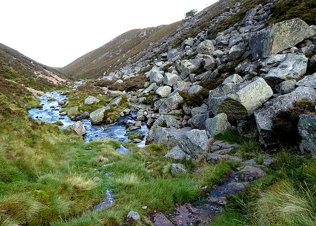
The Lairig gradually narrowed, a couple of paths head off to the right which could be taken to get up onto the Sron na Lairig ridge but we stayed on the path until it crossed the burn at a rock fall and then turned right up a well reconstructed path onto the ridge.
As we gained height so we gained views – magnificent …
Back north to Rothiemurchus …

… east to the central Cairngorm plateau …
… and east Lurchers Craig ...
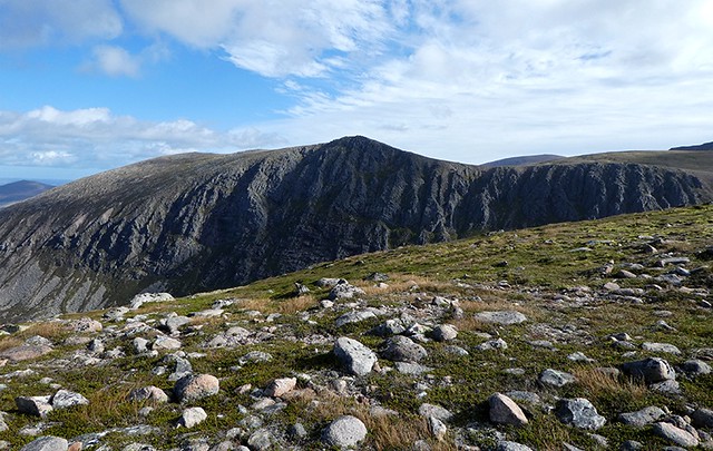
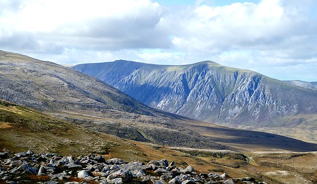
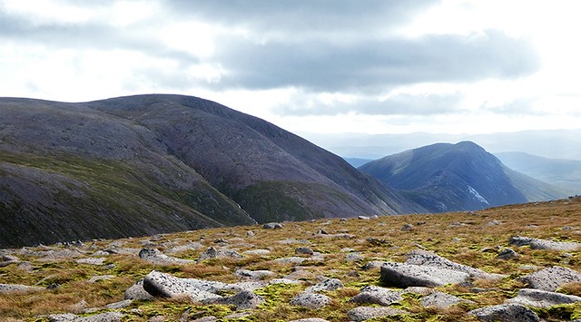
… south to Sron na Lairig …
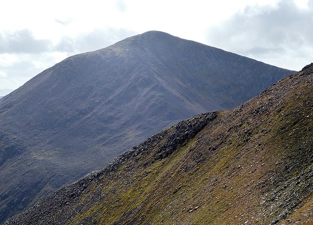
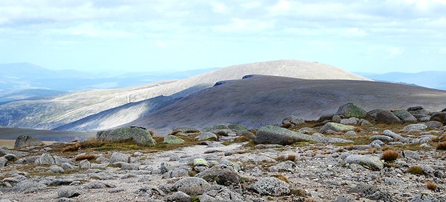
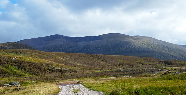
… southeast to Braeriach itself with some of its cories …
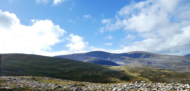
… and west to Sgor Gaoith
It must be something to do with the vast panoramas of the Cairngorms but all day I found it difficult to believe that Sgor Gaoith is higher than its near neighbour Sgoran Dubh Mor. I found it equally difficult to believe that Braeriach is higher than Carn Toul – but I expect that was because one is a rounded mountain and the other is a pointy one

I had to check the map to make sure that my eyes were deceiving me

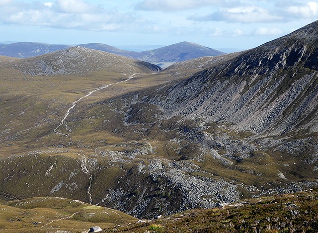
As we gained height the clouds lifted but for a while on the shoulder of the Sron na Lairig ridge the wind was rather fierce, but not for long. The views down …
… along to the south …
… across to Cairngorm, the Lairig is the slash in the mid foreground…
… Ben Macdui and Cairn a'Mhaim
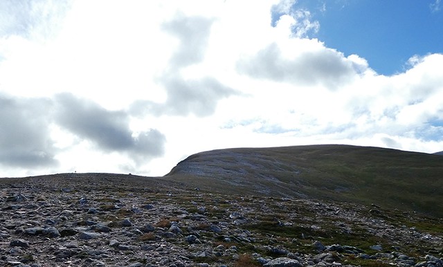
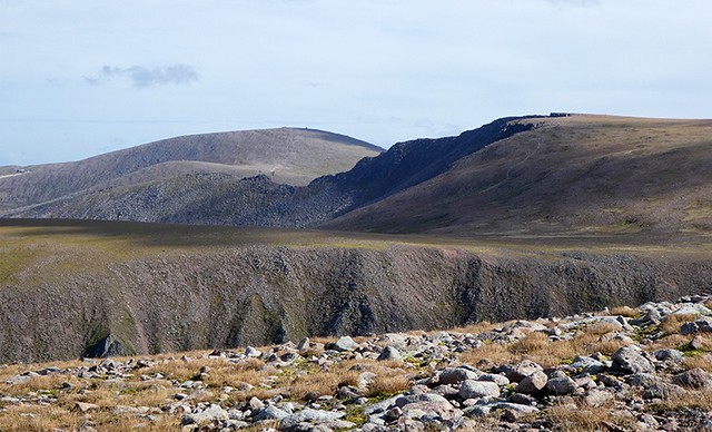
… with Devil's Point and Carin Toull coming into view …
… and eventually the summit of Braeriach on the edge of the cliff …
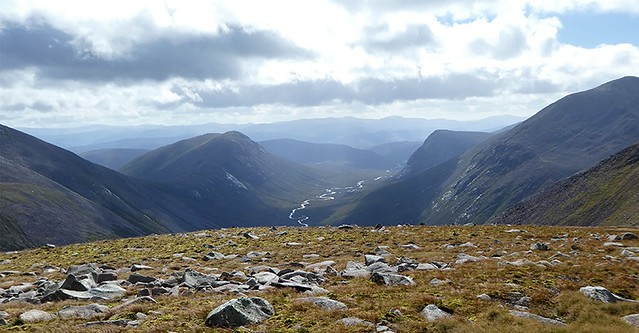
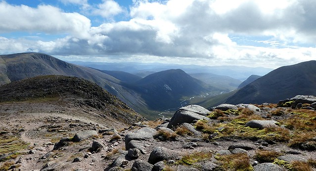
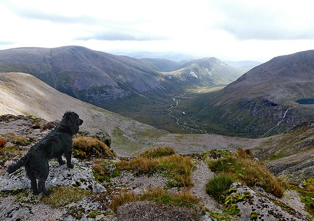
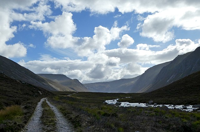
… and the southern part of the Lairig between Cairn a'Mhaim and Devil's Point with the Dee snaking away into the distance …
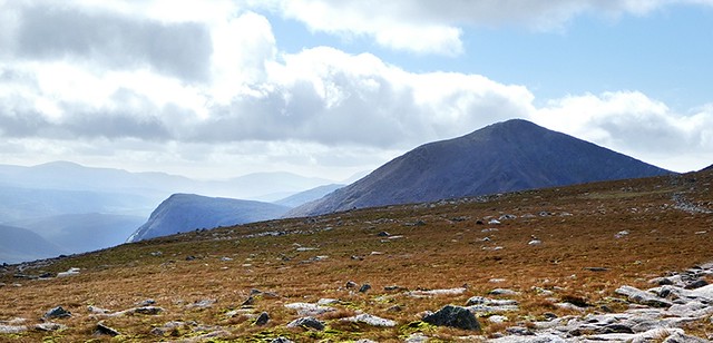
… and all the time Cairn Toull drwaing the eye southward.
We could see across to the tors of Beinn Mheadhoin ...
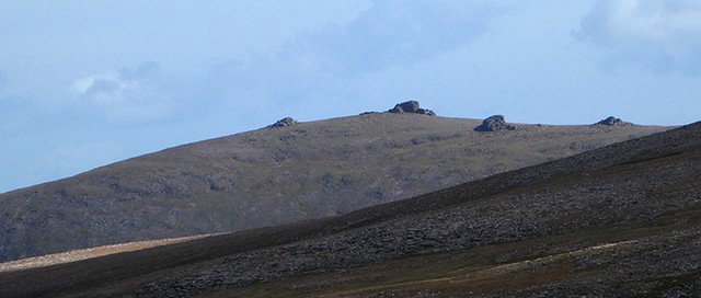
and beyond to Ben Avon. Cairngorm vastness at its best, but hard to capture in a photo. Progress was slow - the landscape was magical and we stopped to try to recreate other trips we'd made into the Cairngorms. Was it Lurcher's Craig we'd visited with the kids many years ago when we were adopted by a passing dog? We can't decide, it might have been the rim of the northern corries. But it was lovely to soak up the landscape and merge the present and the past ... oh and make plans for future trips too

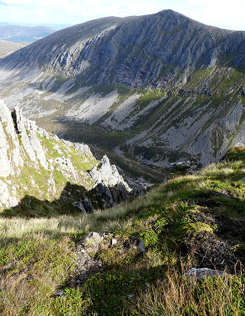
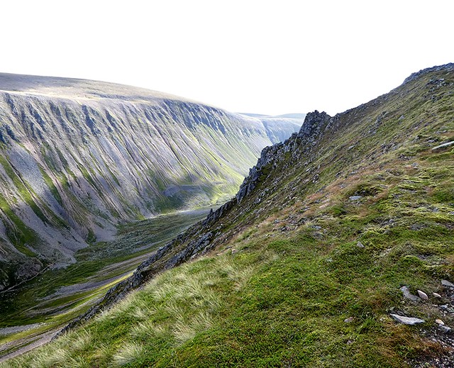
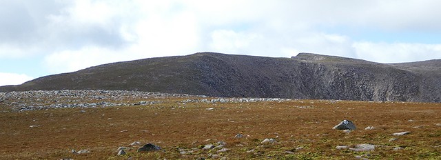
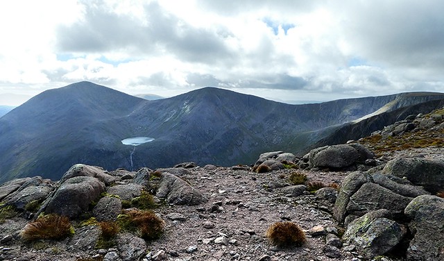
Once we reached the rim of Choire Bhrochain the views became even more dramatic
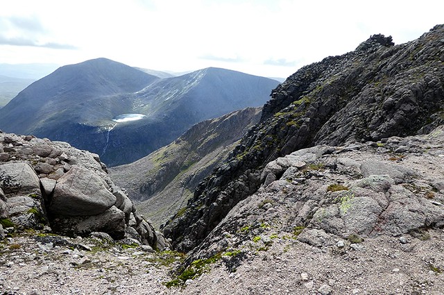
… Lochan Uaine nestled between Sgor and Lochan Uaine and Cairn Toul …
… South down the Lairig again …
… Lochan Uaine draining down into Garbh Choire …
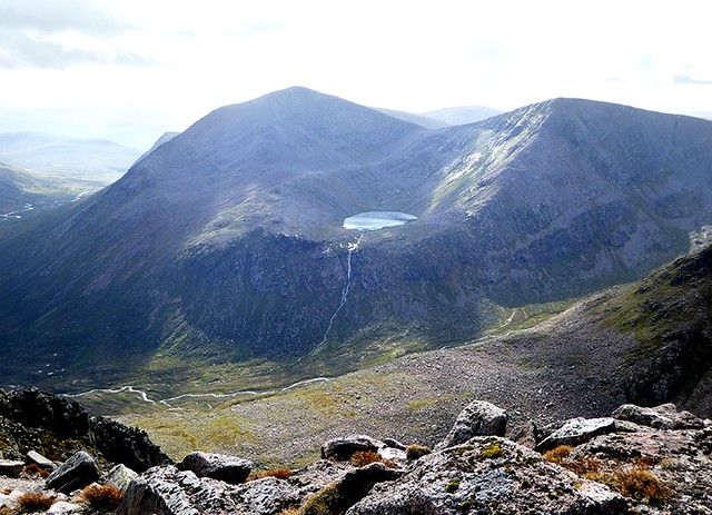
… and again with the Black Pinnacle on the right …
… Biggles eyeing up the options …
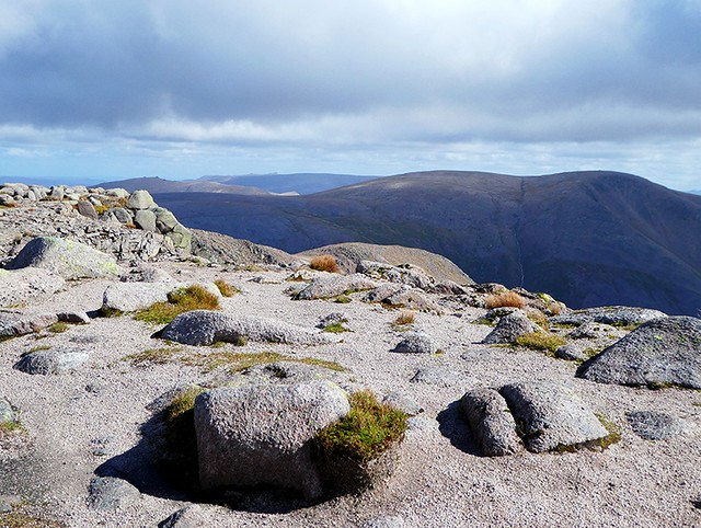
… across to Cairngorm and the edge of the northern coires …
… Meall a' Bhuachaille and friends …
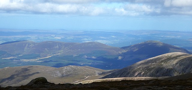
… and in the far east (on the horizon) you can just make out Ben Avon and its Tors
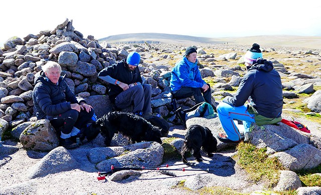
We settled down at the summit for lunch and were soon joined by three young lads who had set out to do the full traverse to Devil's Point but were now debating if they had left themselves enough time to complete the trip (this was their first summit and it was now 1.15pm) and get to Edinburgh for a party. They happily shared snacks with the dogs, a nip with us and we shared chocolate.
We left them to their deliberations and headed off north west in the direction of Gleann Eanaich.
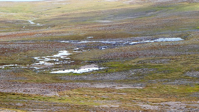
Springs which appear to be an off shoot of the Springs of Dee and which join the Dee just before it falls over the edge of Garbh Choire Dhaidh soon came into view.
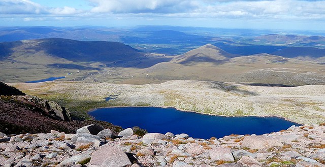
We crossed the easy terrain and soon reached the cliffs above Loch Coire an Lochain and gazed down into its beautiful blue waters, with Loch Mhic Ghille-choil in the middle distance on the left, just to the west of Am Beanaidh, the river that runs through Gleann Eanaich.
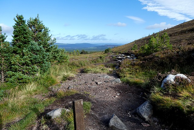
We picked up a path that took us most of the way from here down into Gleann Eanaich,
but unfortunately it petered out leaving us about a kilometre of rough, boggy hillside to cross before hitting the excellent track that runs alongside the Am Beanaidh all the way to Rothiemurchus.
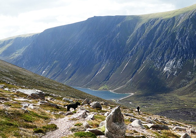
Looking south towards Loch Eanaich …
… north towards our destination.
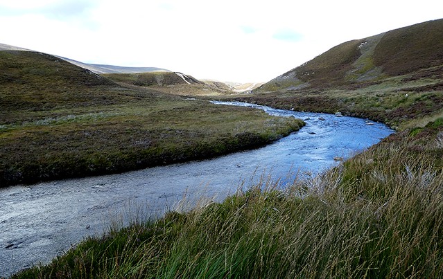
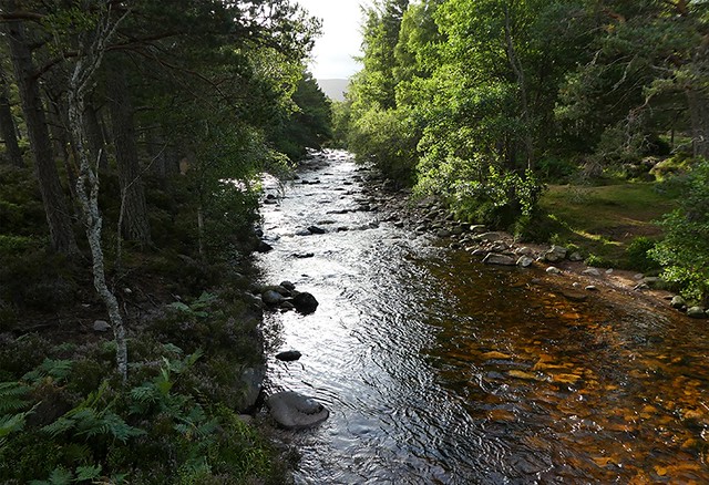
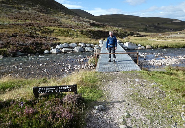
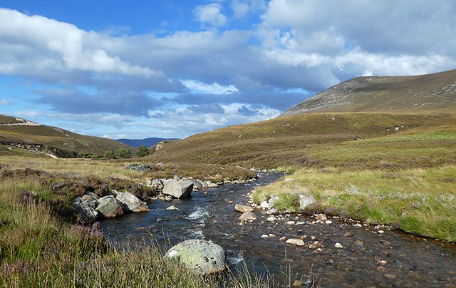
There were no problems crossing the Beanaidh Bheag or the following ford, and further on we crossed the Am Beanaidh bridge.
A last look at Braeriach, with Loch Coire an Lochain hidden in the folds of the landscape.
Afternoon sun on Am Beanaidh.
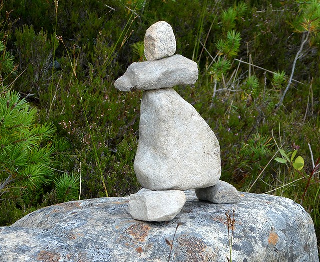
Cairn or suclpture at the edge of the forest?
It was only when we got into the trees that the midges started to make their presence felt, but they were fairly half hearted and a wiff of Smidge sent them on their way. We passed Loch Deo looking much more benign than it had in the morning
and it wasn't long before we were heading north up the A9 looking forward to beer and chilli con carne.
Braeriach using this route did not disappoint – we had a long but relatively easy day that took us to parts of the Cairngorms we'd never visited and led to wonderful reminiscences of other walks around these hills stretching back over 40 years. Its no problem to come back again for Breariach's neighbours ... life's good in the slow lane
