free to be able to rate and comment on reports (as well as access 1:25000 mapping).
Snow in mid-November, in England anyway, is a very welcome surprise. Well I guess not if you're commuting to work - but if you are have a walk planned...
The unexpected winter conditions certainly enhanced our walk on Kinder Scout.
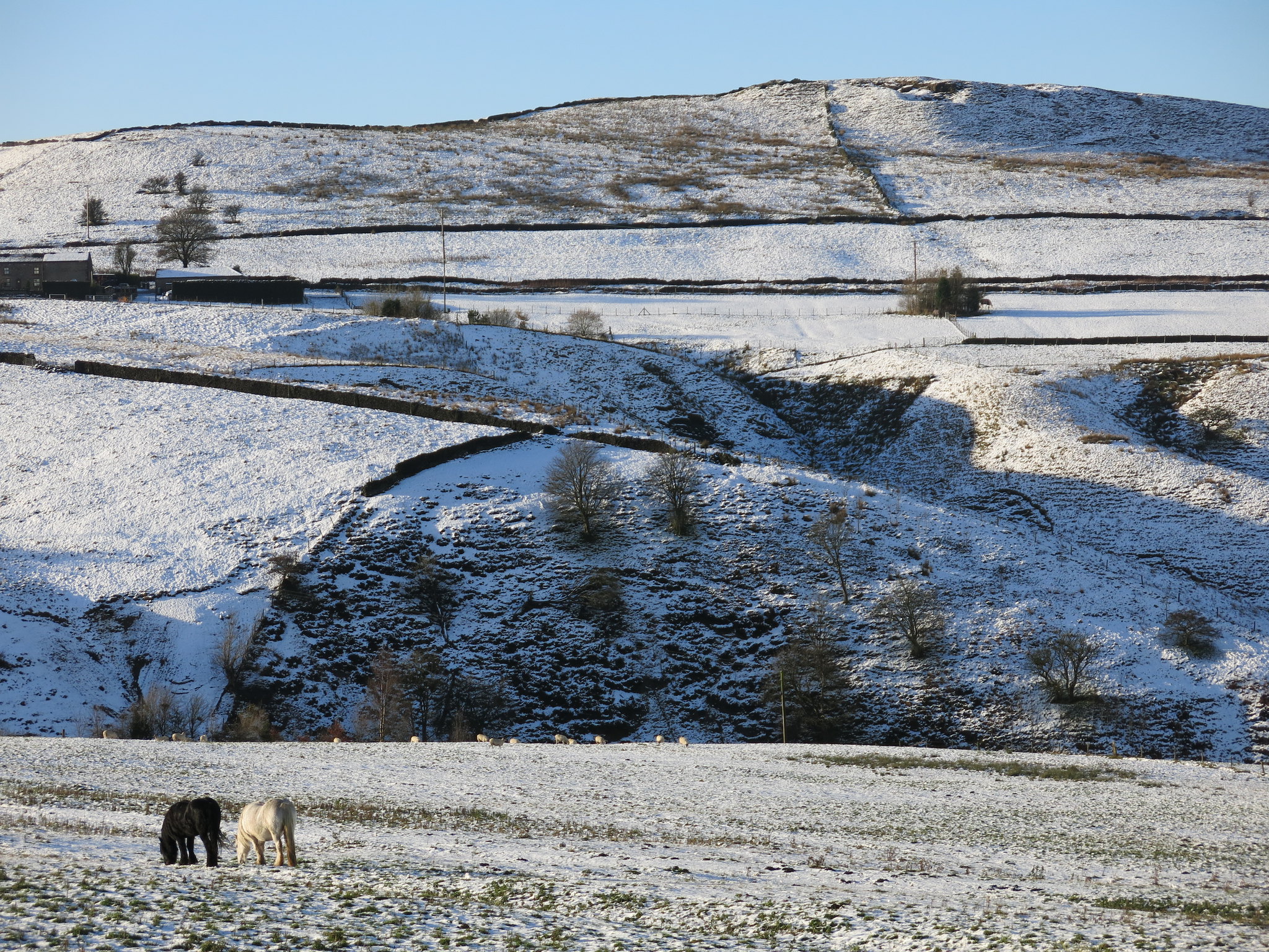
A wintry vista near Hayfield, our starting point for the walk.
 IMG_1317
 by
Half Man Half Titanium, on Flickr
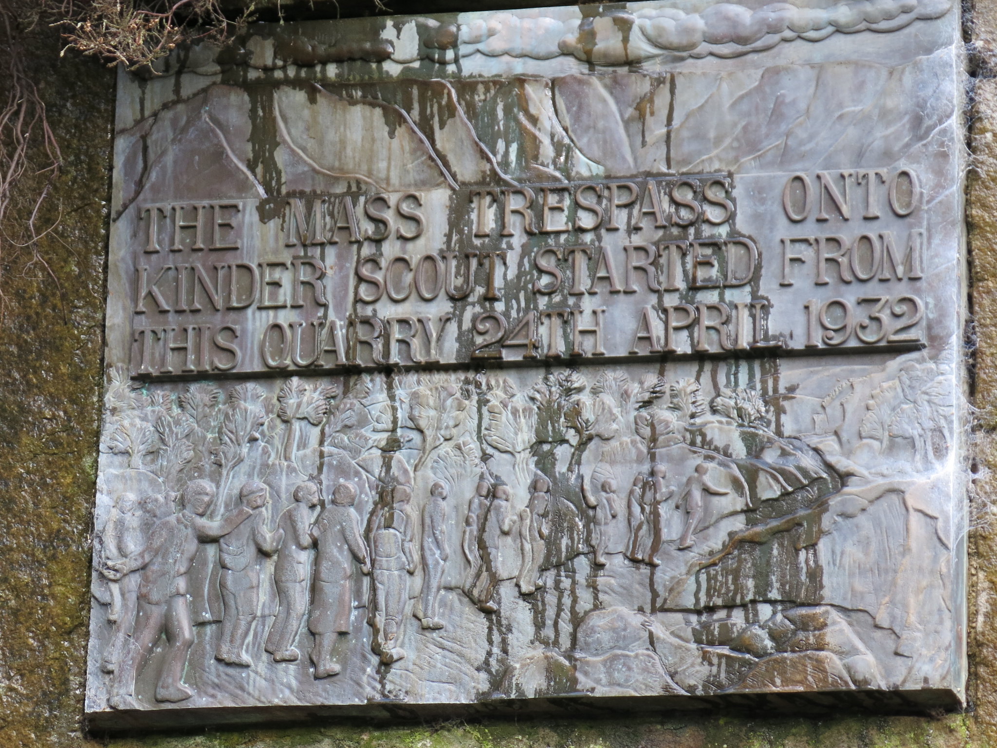
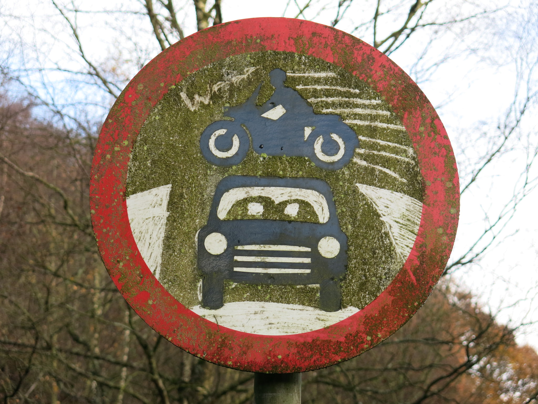
Two signs at our starting point: the tablet commemorating the Kinder Mass Trespass, and an opportunistic bit of art.
 IMG_1325
 by
Half Man Half Titanium, on Flickr
 IMG_1323
 by
Half Man Half Titanium, on Flickr
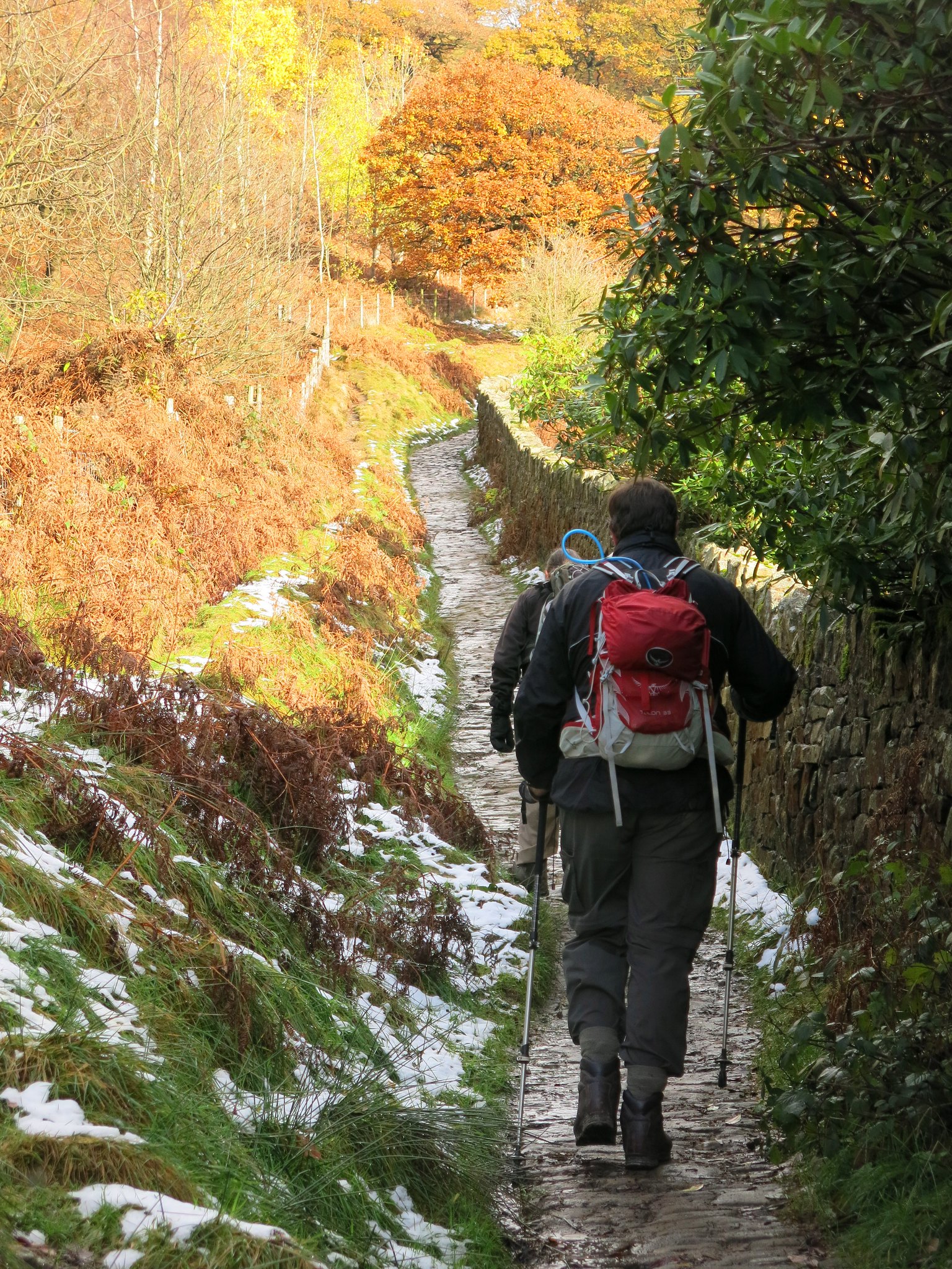
A few autumn colours remained on the lower hillsides as we set off, chatting on the easy first ascent of the day. The American election, Brexit and Strictly Come Dancing were declared banned subjects of conversation during the walk.
(Obviously, the bit of the ban relating to Strictly didn't last long)
 IMG_1328
 by
Half Man Half Titanium, on Flickr
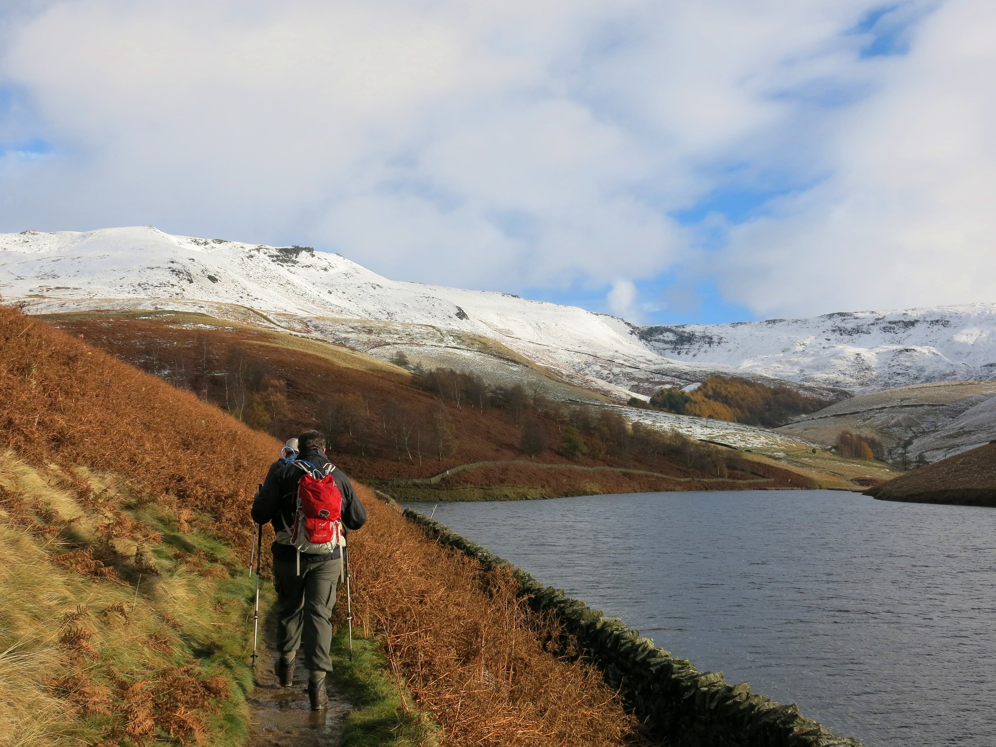
Along the shore of Kinder Reservoir. Sandy Heys and Kinder Downfall on the skyline ahead.
 IMG_1340
 by
Half Man Half Titanium, on Flickr
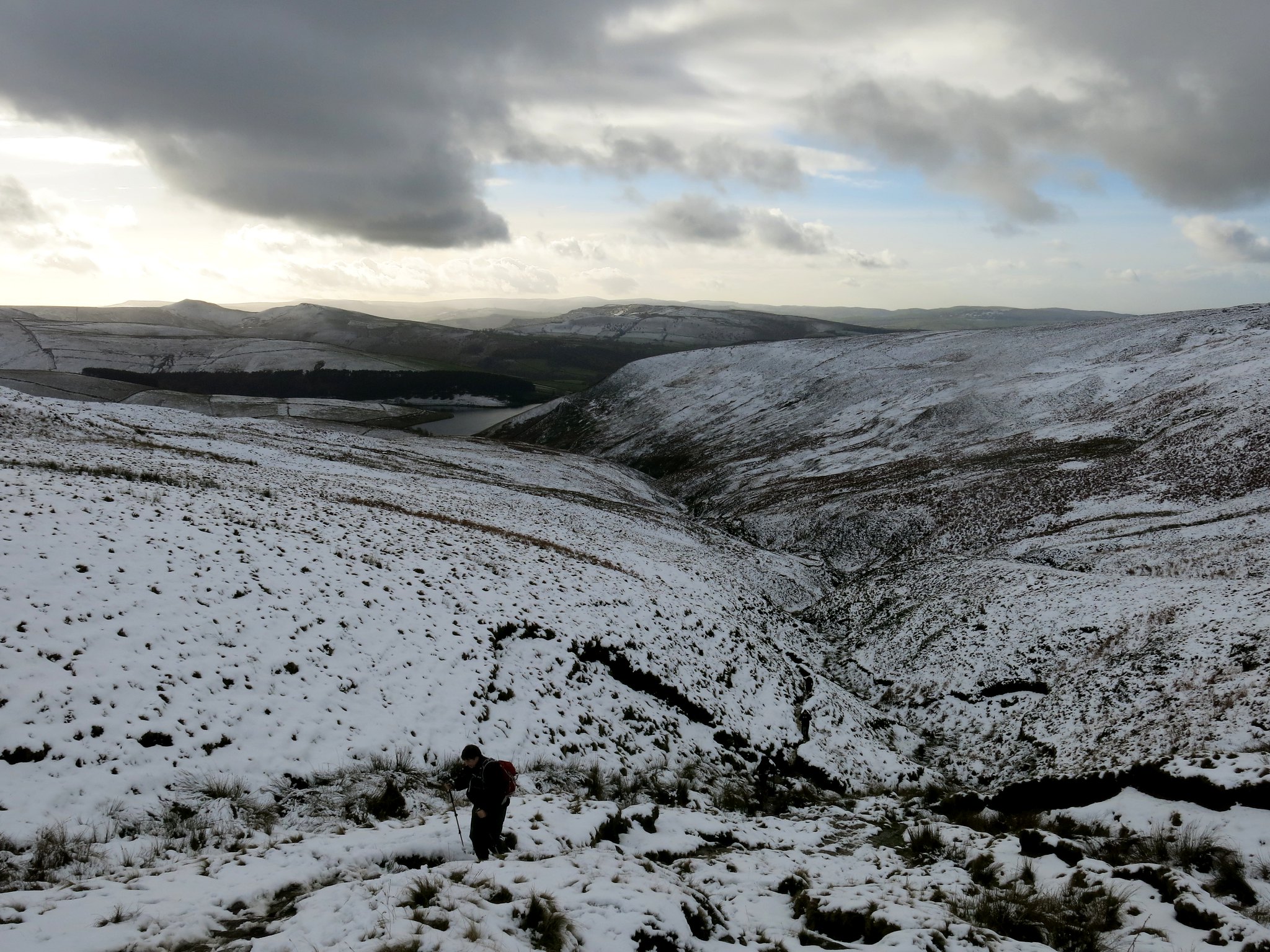
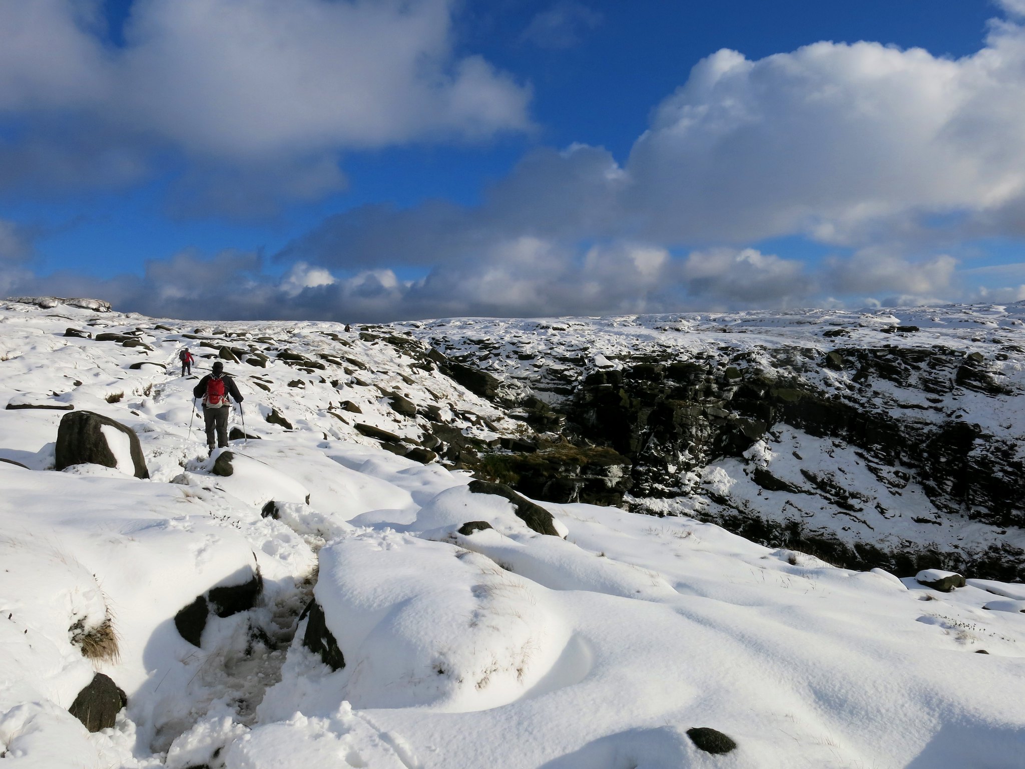
Ascending the narrow gulch of William Clough.
 IMG_1343
 by
Half Man Half Titanium, on Flickr
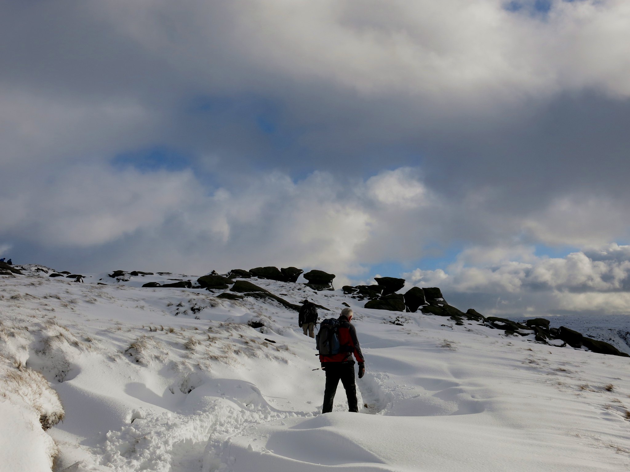
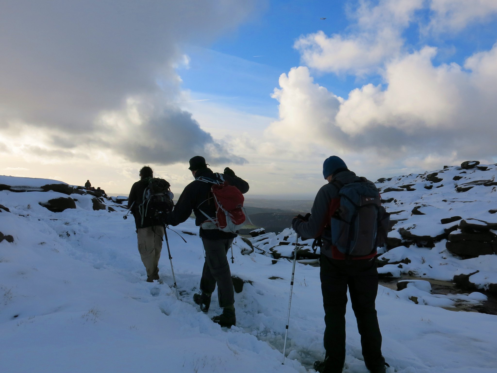
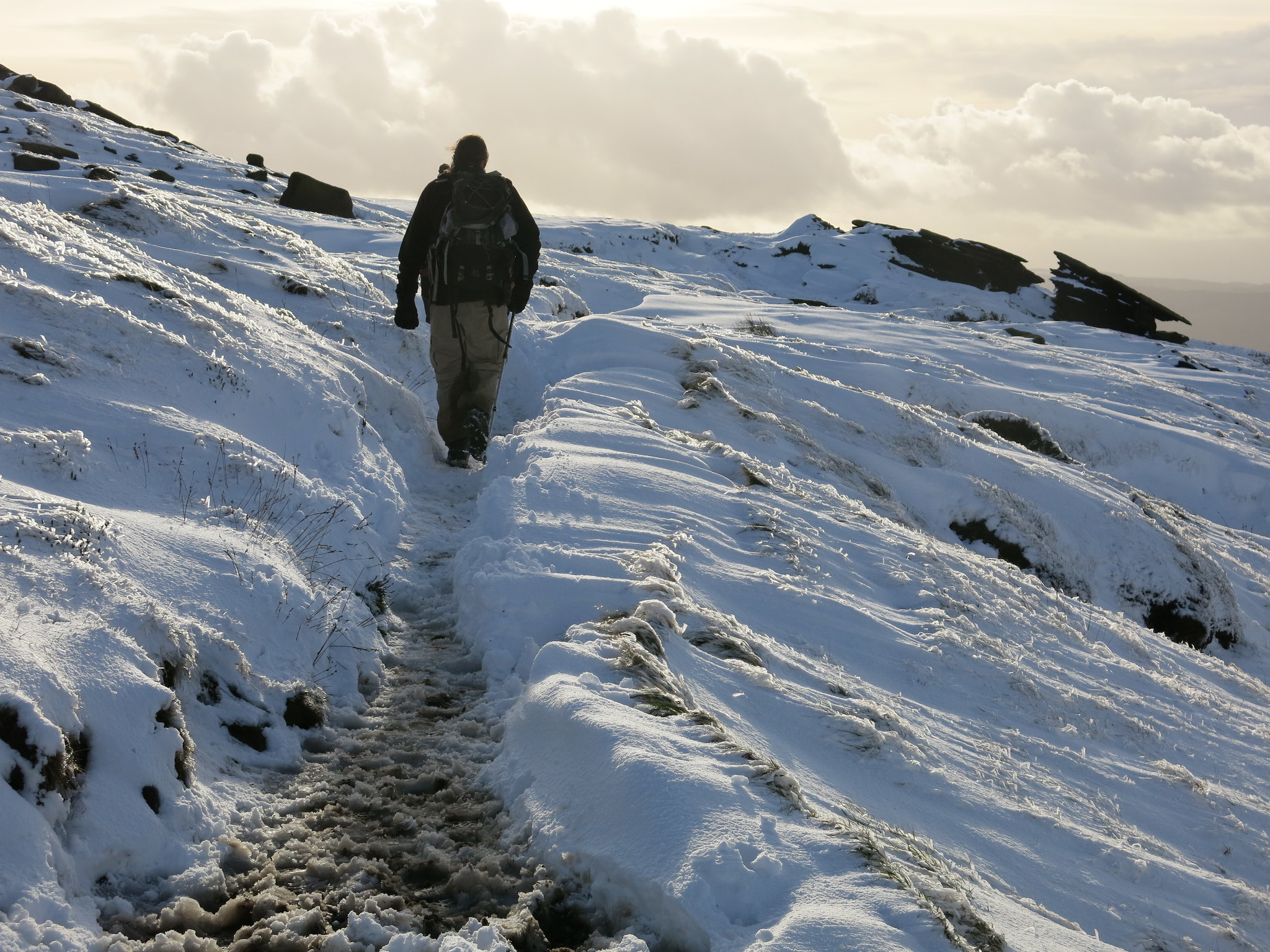
On the last bit of the ascent onto the plateau.
 IMG_1354
 by
Half Man Half Titanium, on Flickr
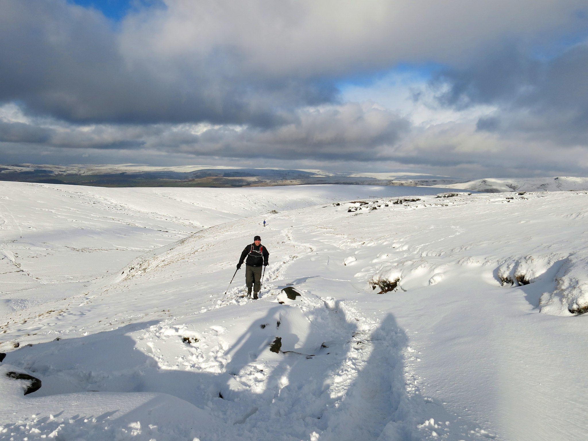
Deeper snow on the plateau. In the background are the moorlands rising towards Bleaklow Hill.
 IMG_1373
 by
Half Man Half Titanium, on Flickr
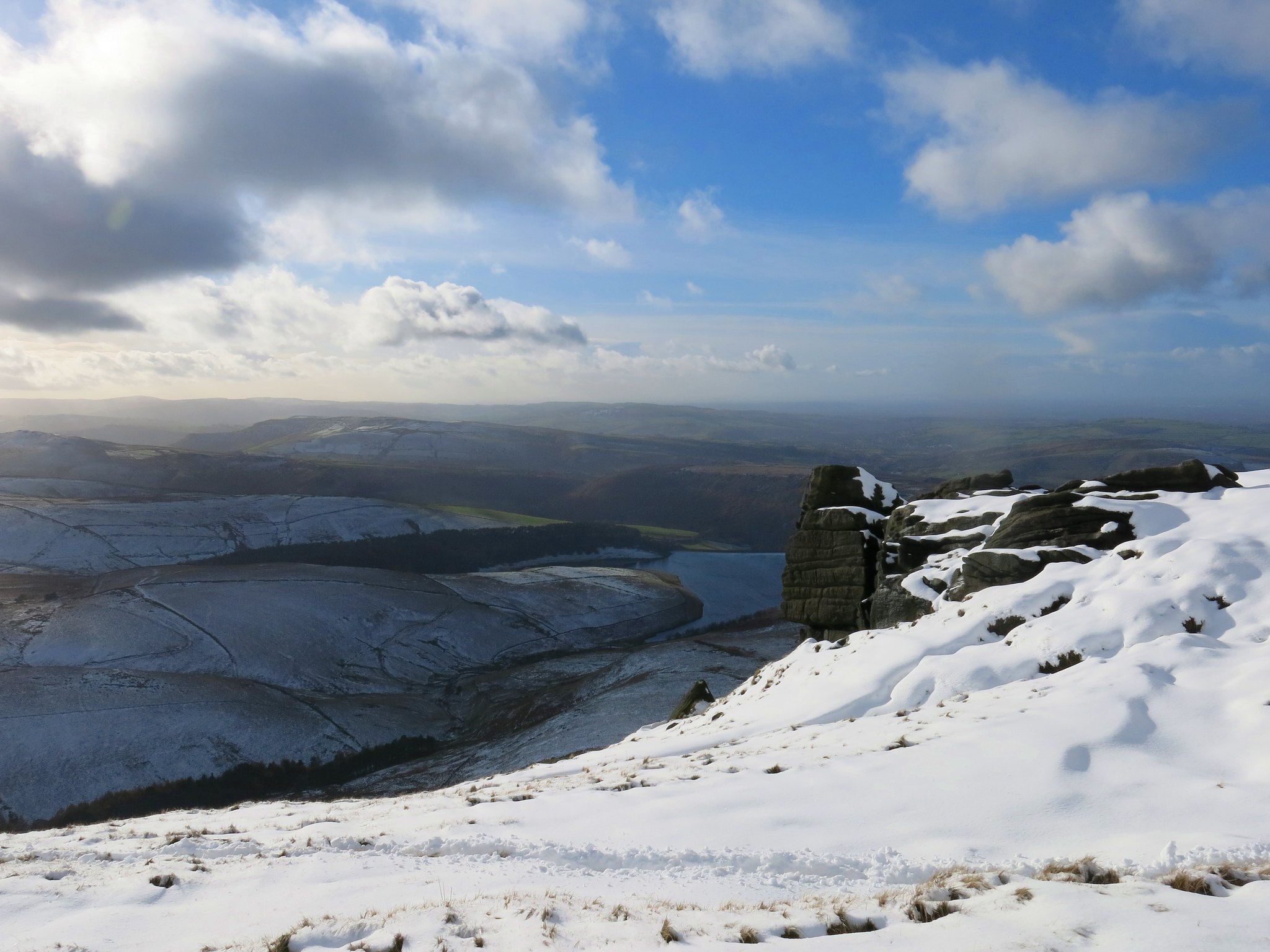
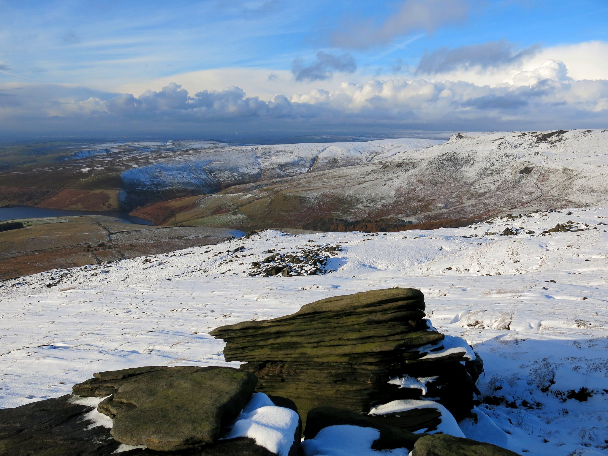
Looking from the rocks at Sandy Heys across towards Kinder Low.
 IMG_1378
 by
Half Man Half Titanium, on Flickr
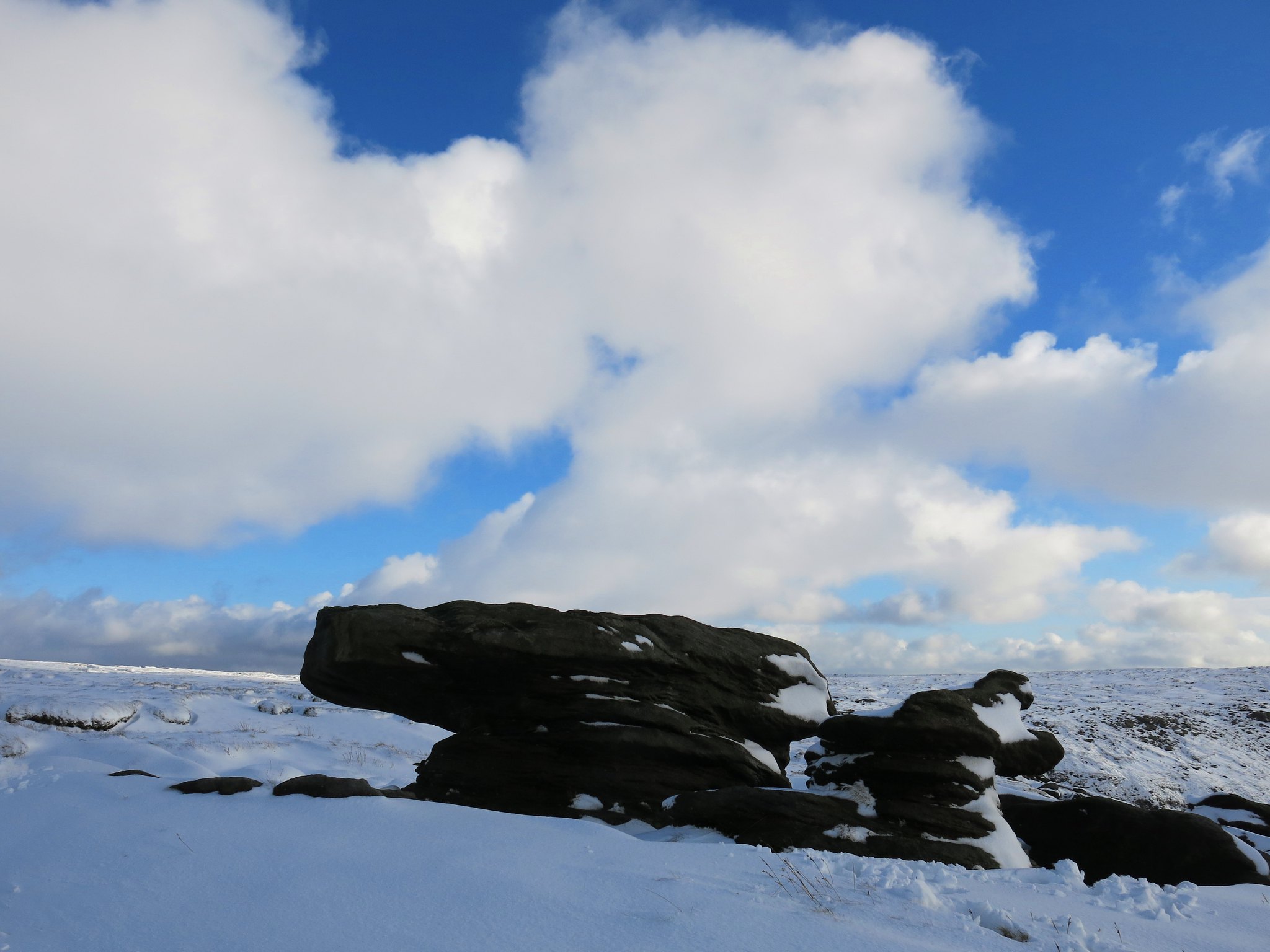
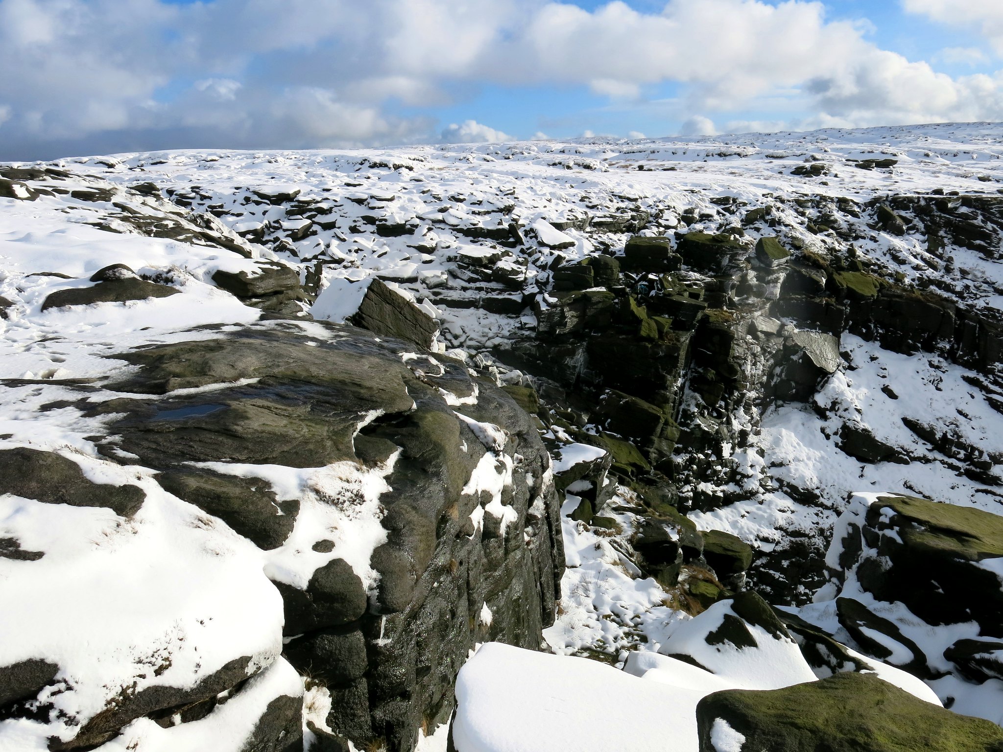
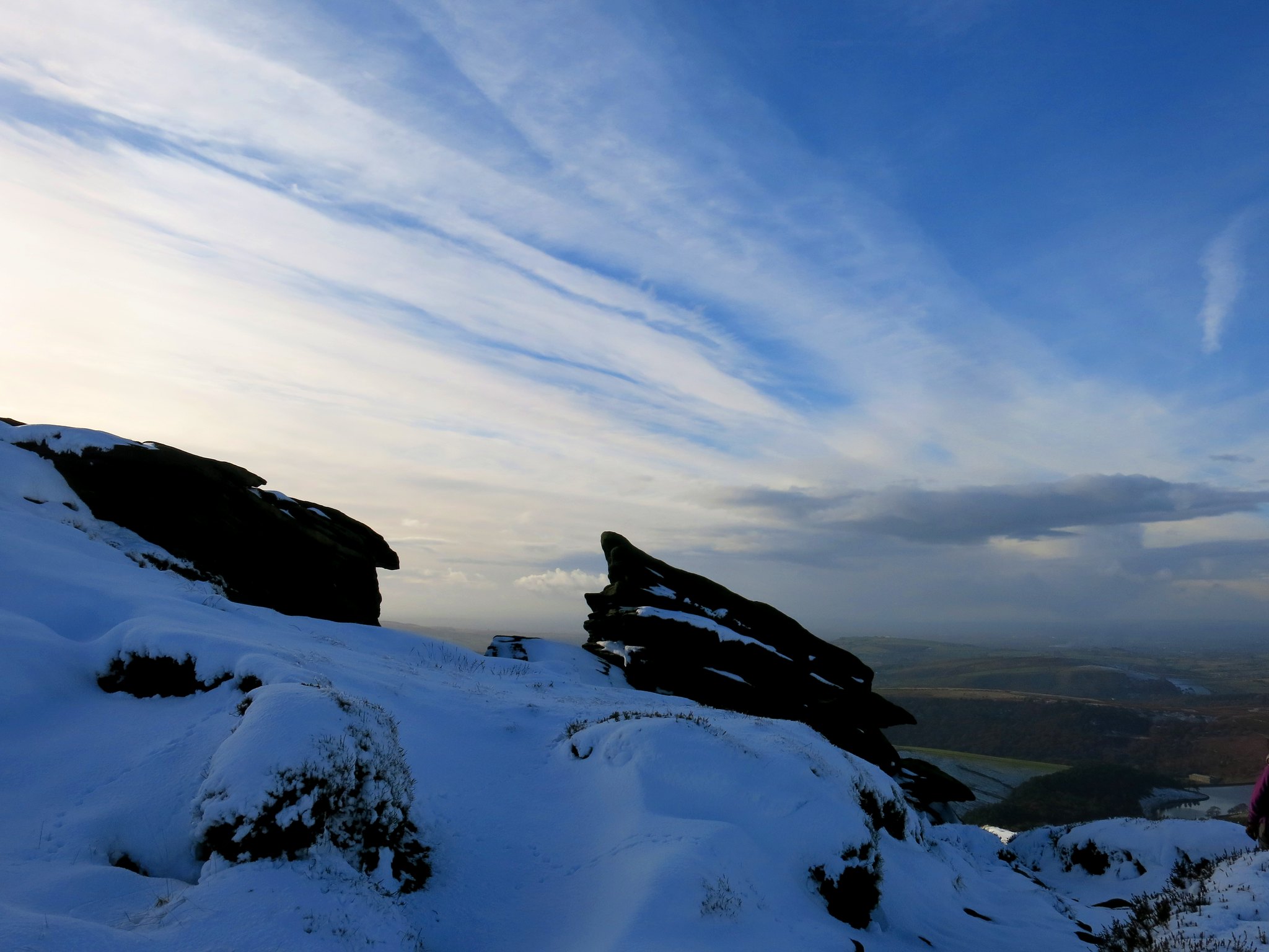
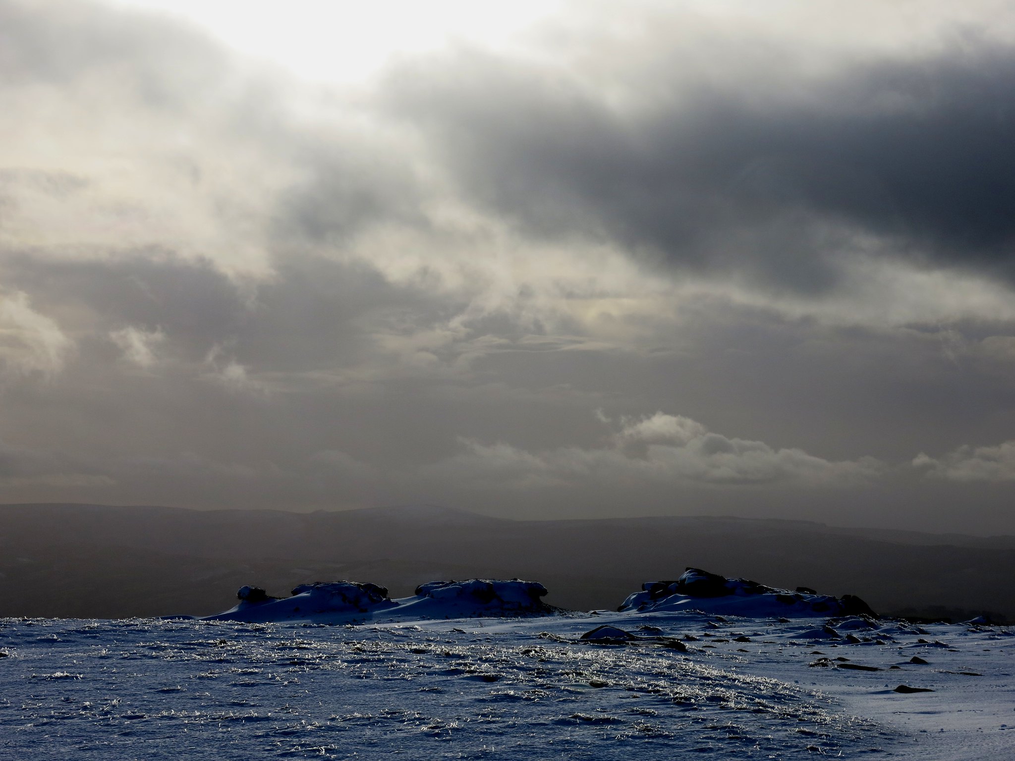
Gritstone formations on the skyline.
 IMG_1387
 by
Half Man Half Titanium, on Flickr
Shining Tor tops the skyline on the left. At times we wondered if we could see Moel Famau over to the right.
 IMG_1396
 by
Half Man Half Titanium, on Flickr
Starting the slight descent towards Kinder Downfall.
 IMG_1404
 by
Half Man Half Titanium, on Flickr
More gritstone and fluffy clouds.
 IMG_1406
 by
Half Man Half Titanium, on Flickr
Approaching the Downfall.
 IMG_1414
 by
Half Man Half Titanium, on Flickr
Across towards Kinder Low.
 IMG_1421
 by
Half Man Half Titanium, on Flickr
A closer view.
 IMG_1422
 by
Half Man Half Titanium, on Flickr
A handy boulder for a lunch stop.
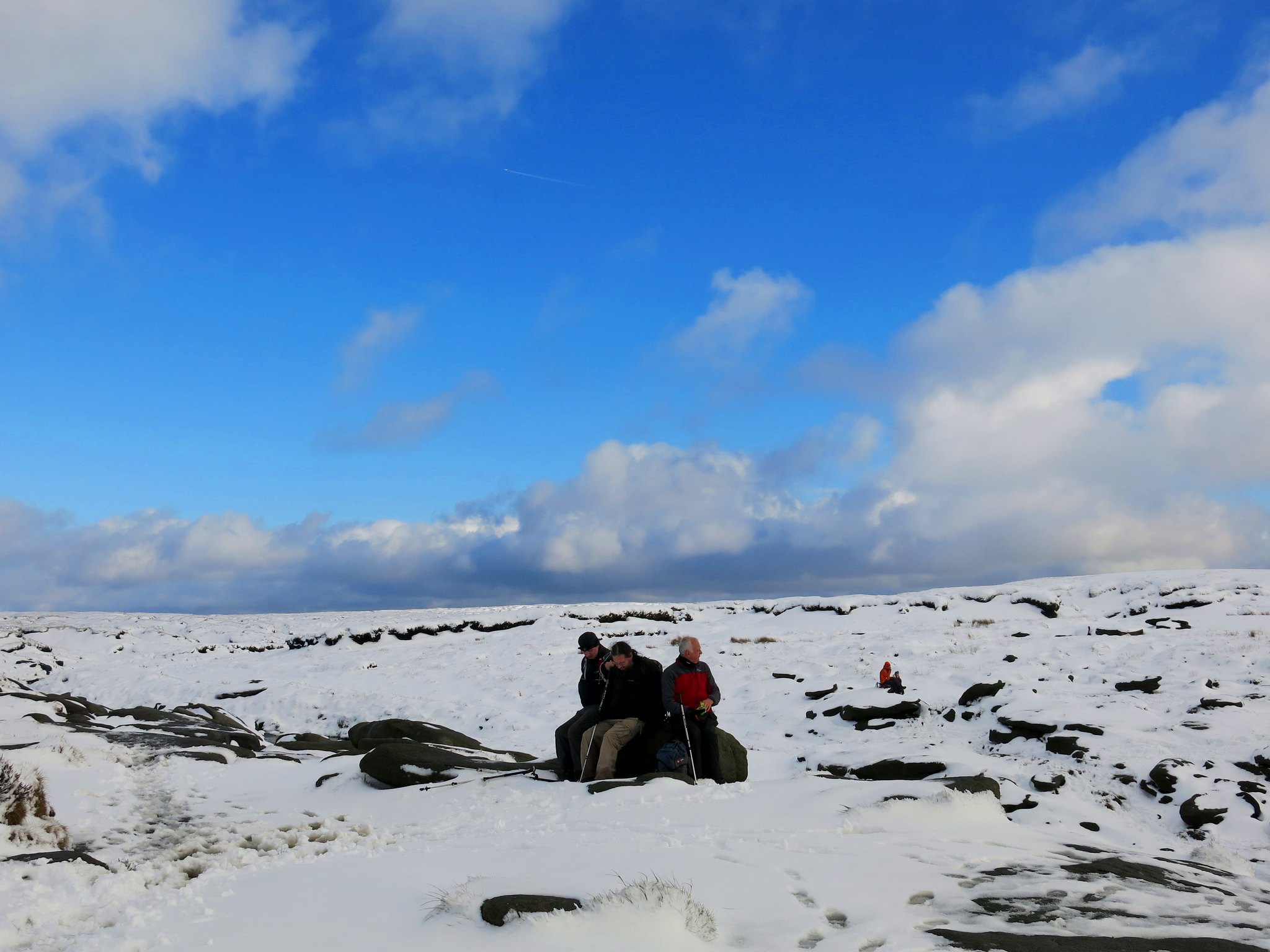 IMG_1428
 by
Half Man Half Titanium, on Flickr
The river Kinder.
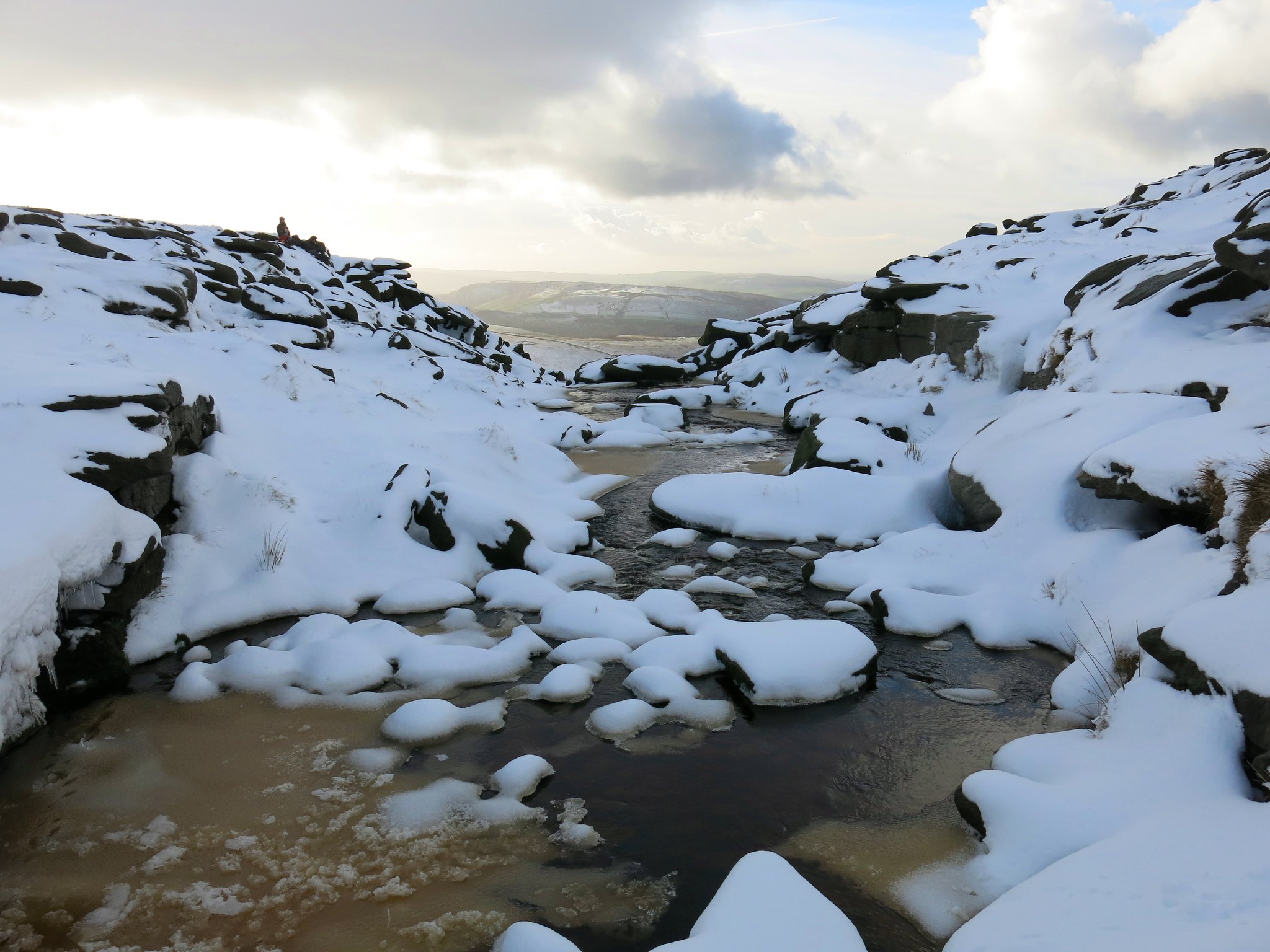 IMG_1444
 by
Half Man Half Titanium, on Flickr
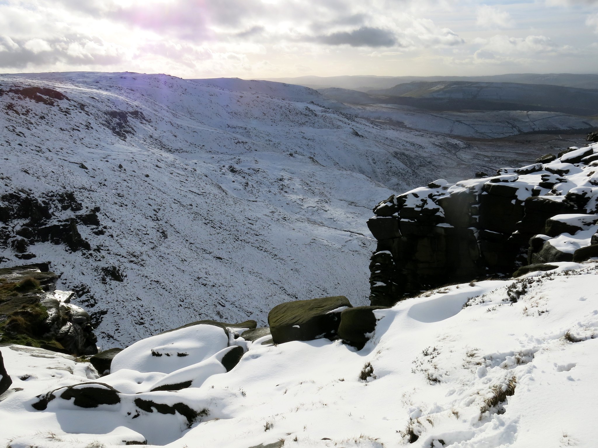
The waterfall in the Downfall.
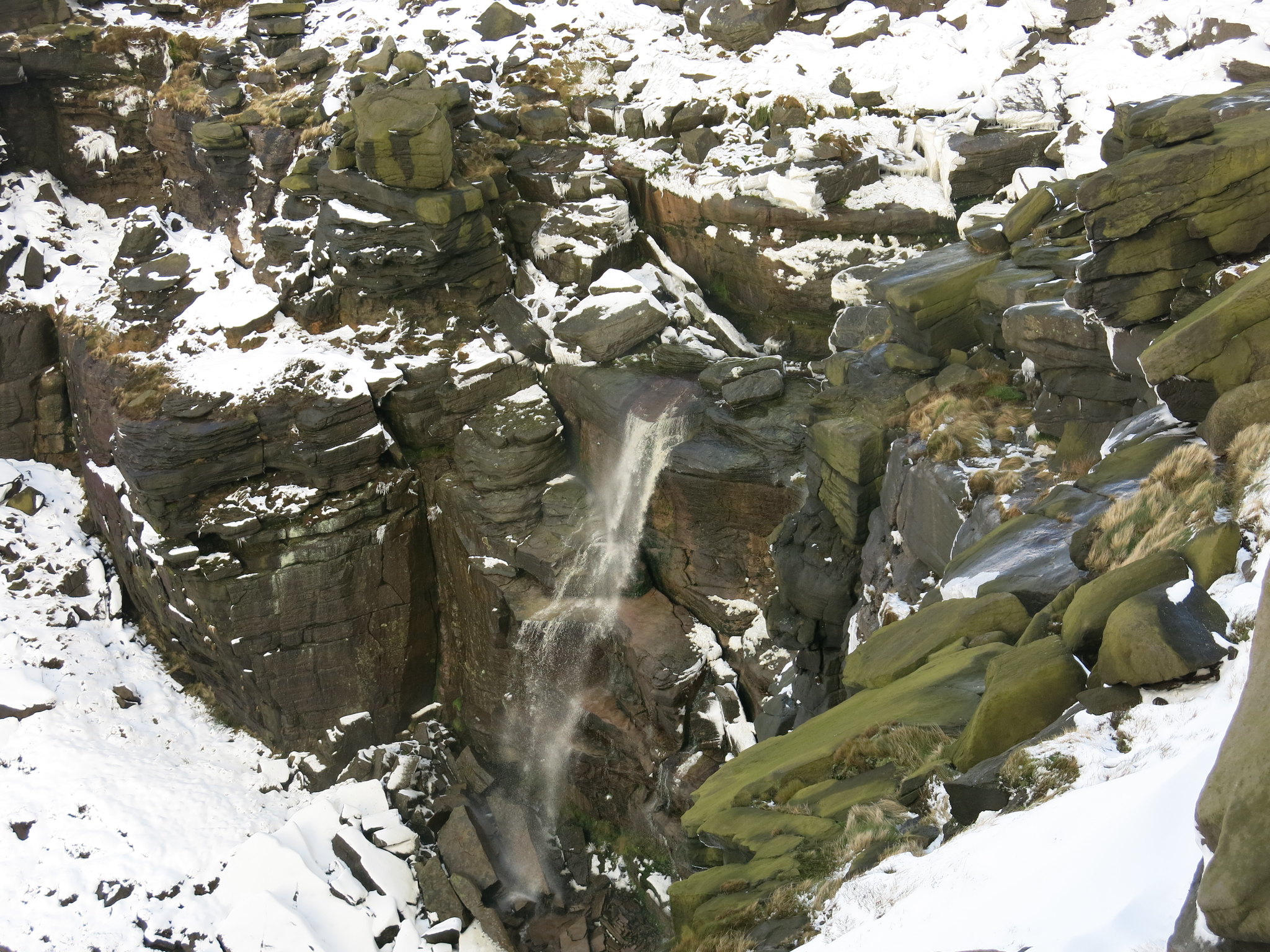 IMG_1449
 by
Half Man Half Titanium, on Flickr
Setting off along the plateau edge towards Kinder Low.
 IMG_1448
 by
Half Man Half Titanium, on Flickr
Boulders as the plateau starts to rise.
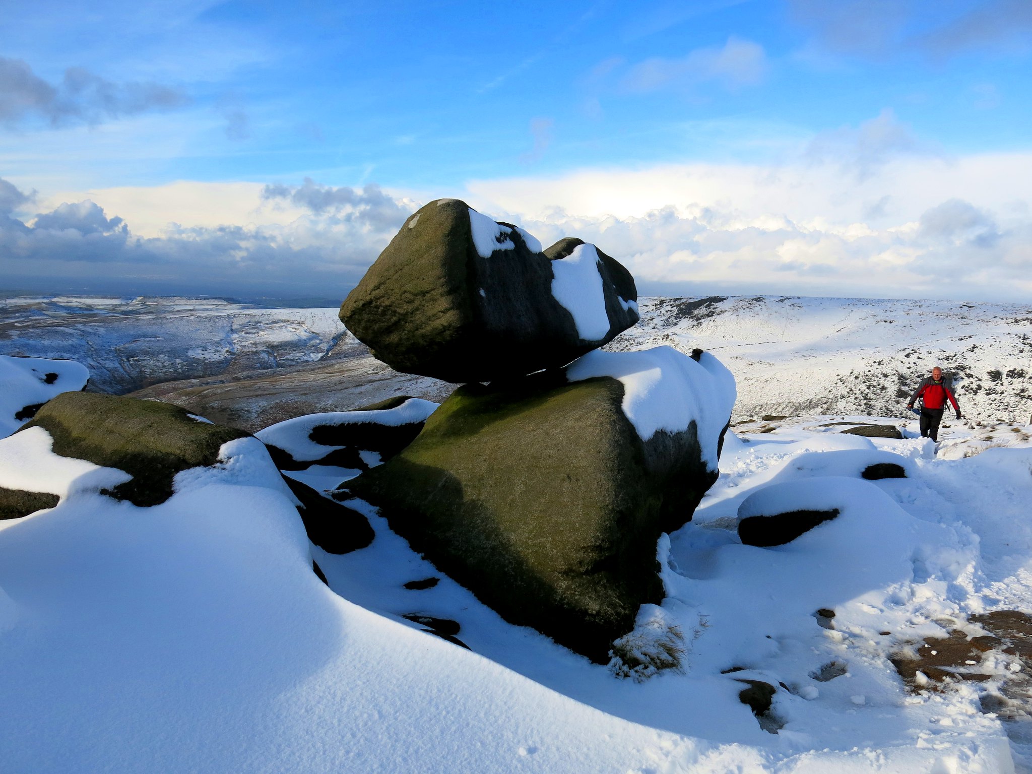 IMG_1456
 by
Half Man Half Titanium, on Flickr
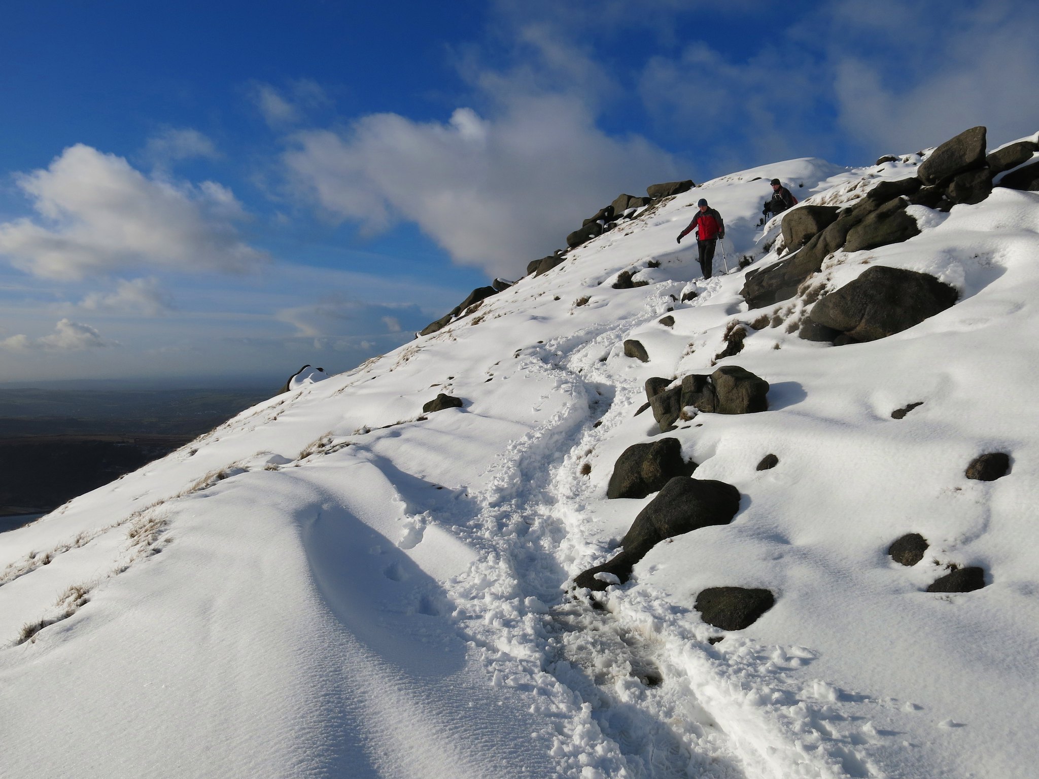
Along the plateau edge.
 IMG_1459
 by
Half Man Half Titanium, on Flickr
Wintry skies...
 IMG_1480
 by
Half Man Half Titanium, on Flickr
Looking north-west: Manchester in the distance
 IMG_1482
 by
Half Man Half Titanium, on Flickr
Kinder Low summit.
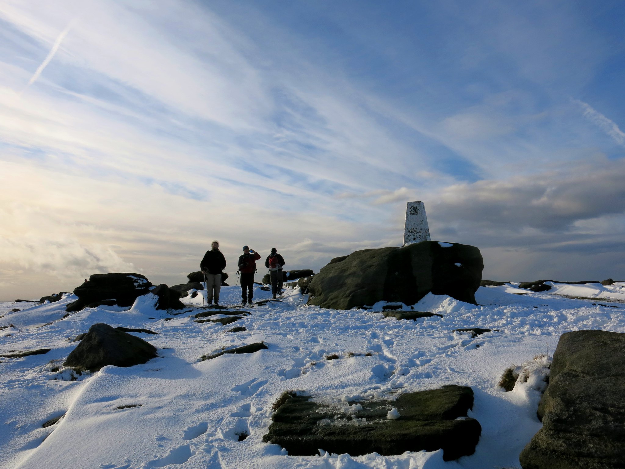 IMG_1506
 by
Half Man Half Titanium, on Flickr
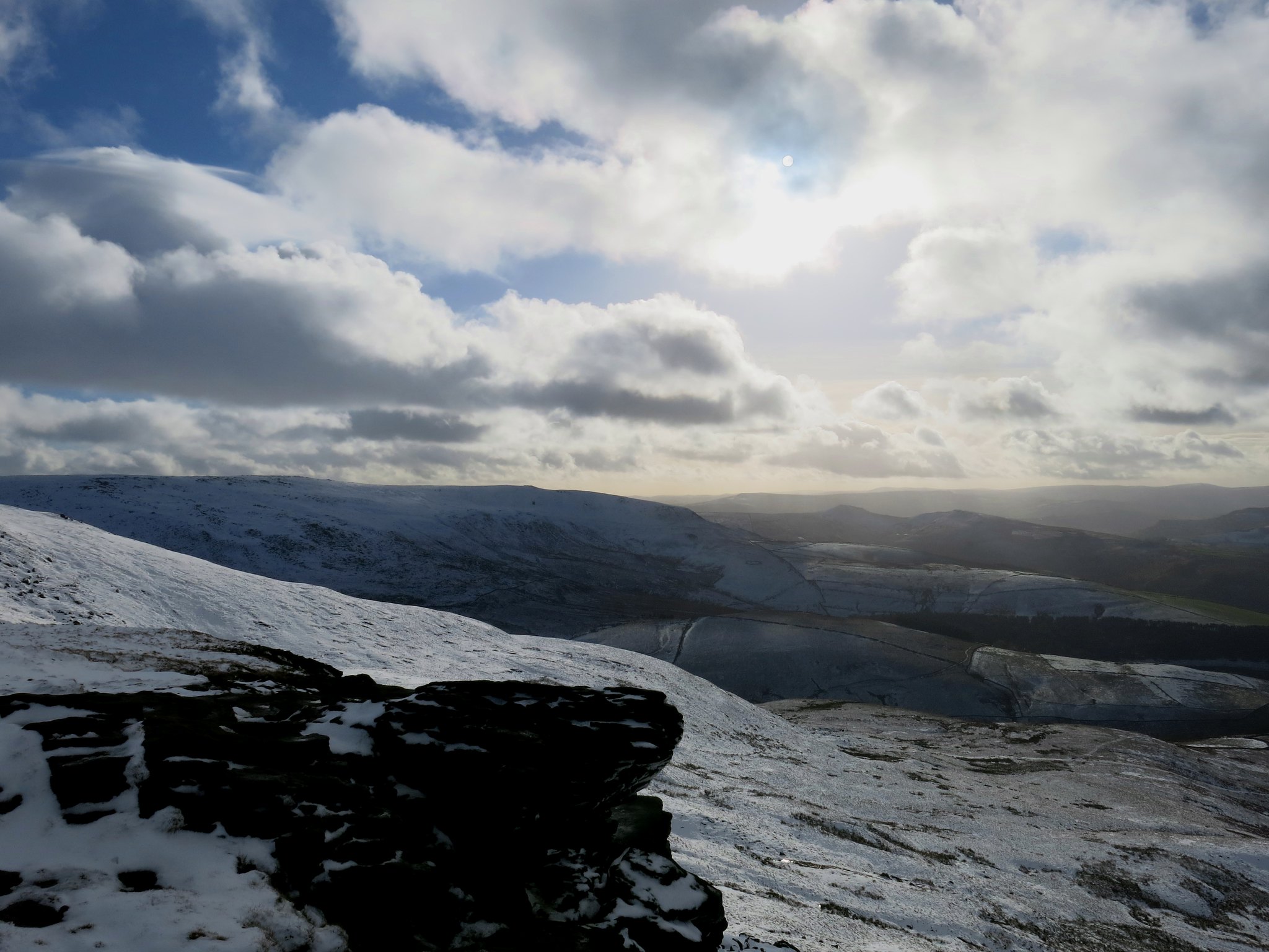
Summit view towards Shining Tor, with possibly a glimpse of Shutlingsloe's summit to its left.
 IMG_1508
 by
Half Man Half Titanium, on Flickr
The trig. Some discussion ensued about the highest point of Kinder Scout: it looks as if there is higher ground to the north-east, but very flat and featureless: it's understandable why the OS built the trig here and also why most people are content to regard Kinder Low as the summit of the fell.
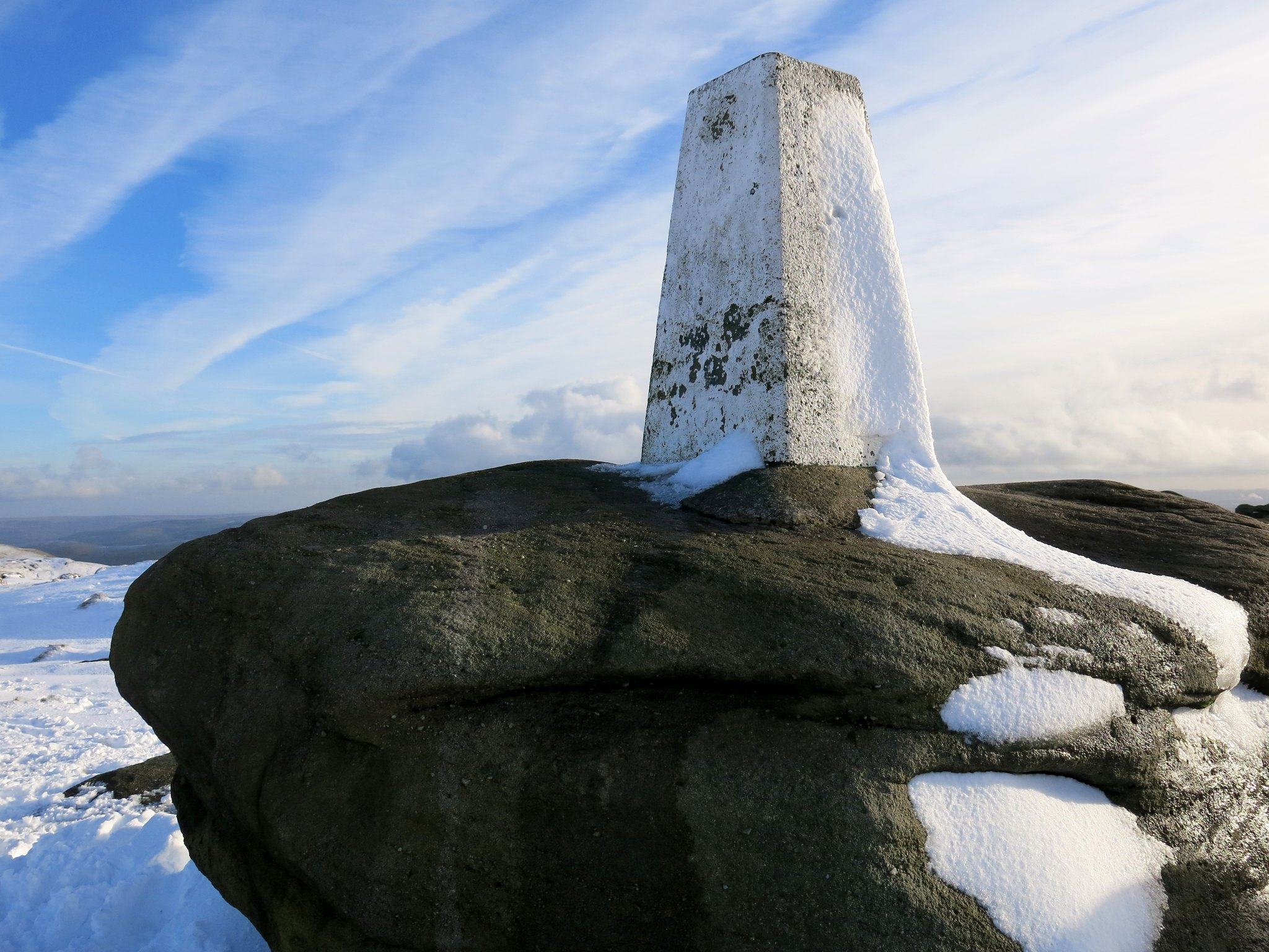 IMG_1494
 by
Half Man Half Titanium, on Flickr
The first steps on the way back down to the pub...
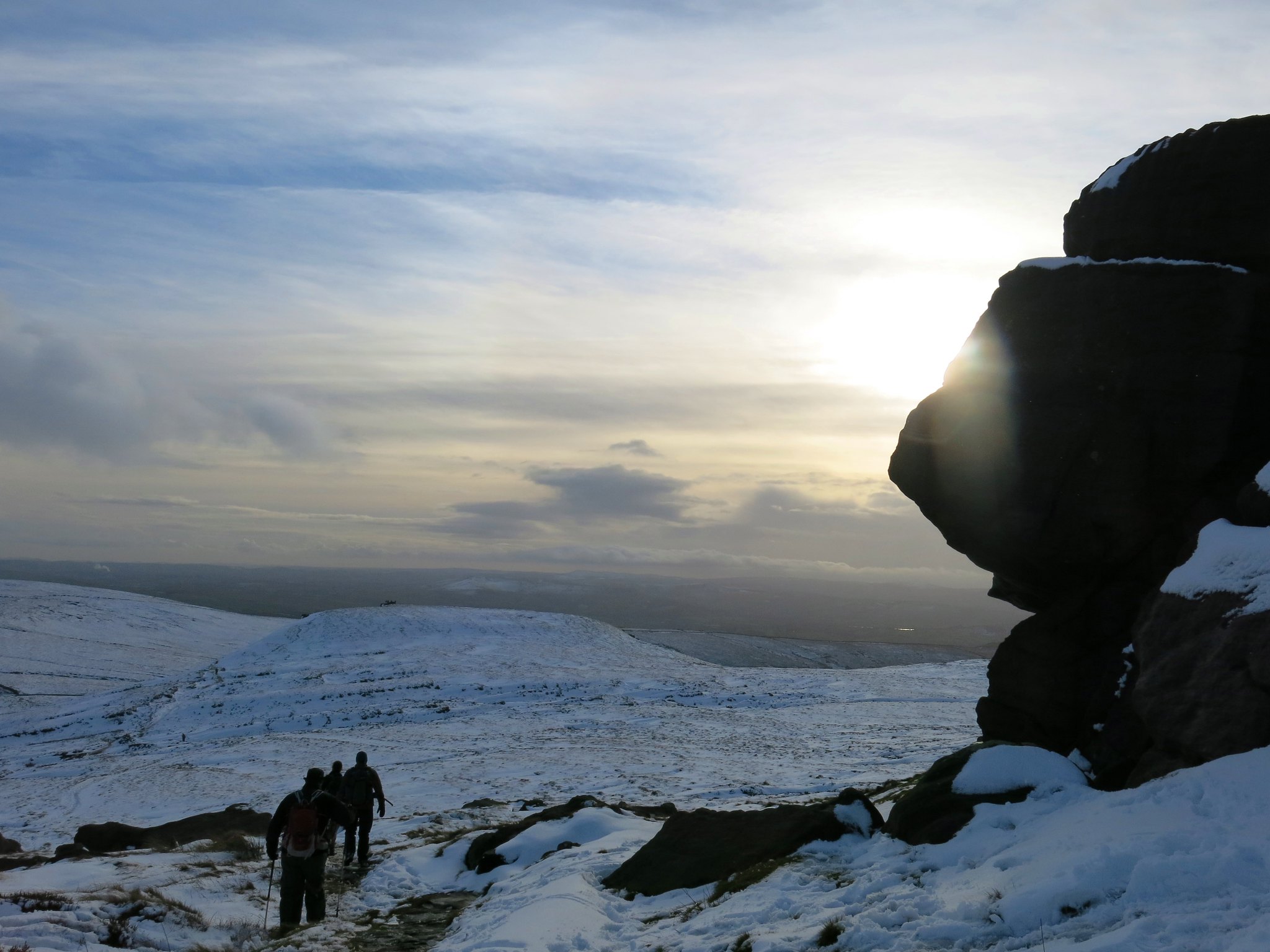 IMG_1511
 by
Half Man Half Titanium, on Flickr
