free to be able to rate and comment on reports (as well as access 1:25000 mapping).
Day 2 of my solo Eastern Cairngorms trip promised to be quite the day out - The White Mounth in freezing but hopefully dry conditions. A delightful night at Gulabin Lodge in Glenshee, albeit with not such a great sleep, meant I had a hour-long drive in the dark (including a run-in with a stubborn stag) to reach the car park at Spittal of Glenmuick in time for the first of the sunlight. There would be not a lot of time for sitting around if I was to make it back to the car in time for the last.
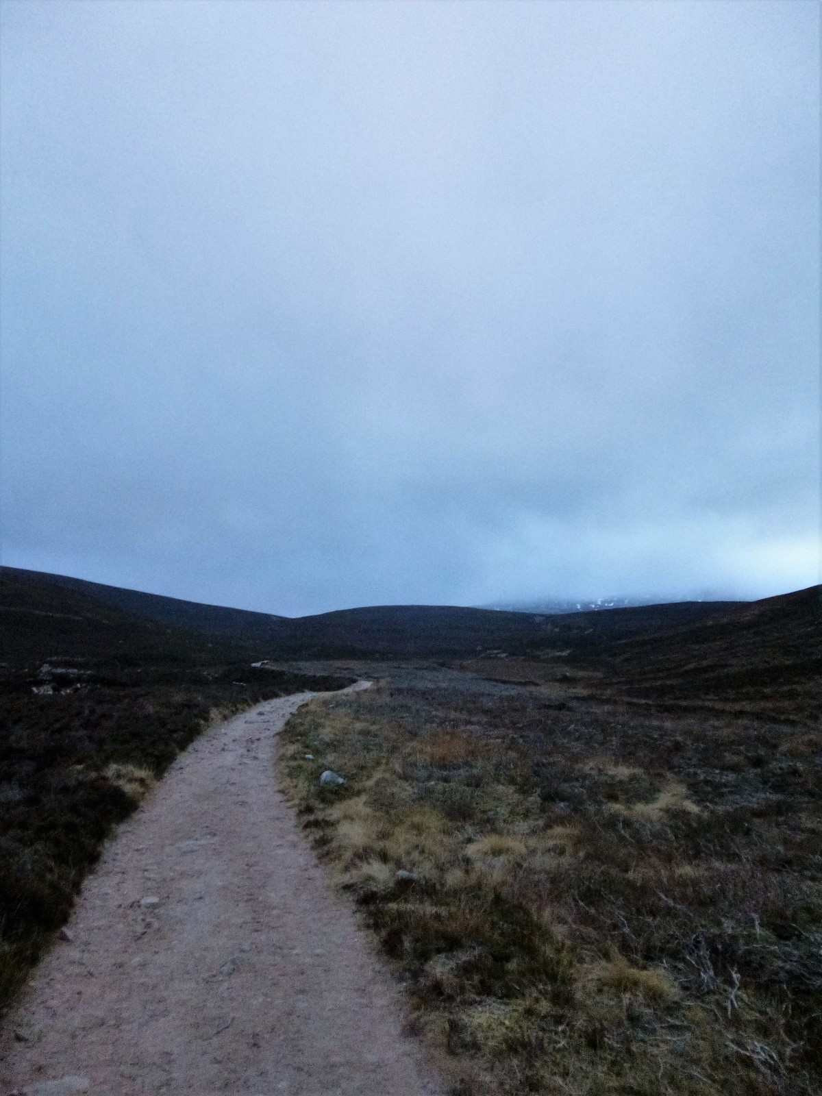
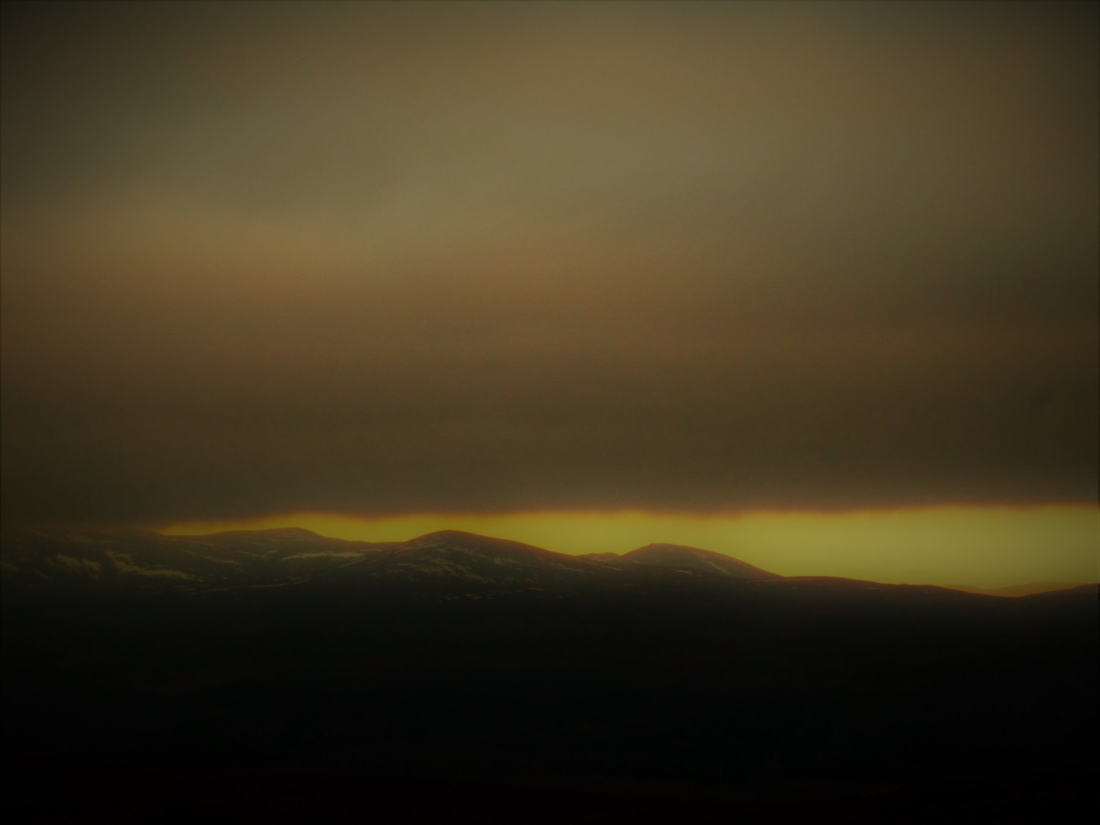
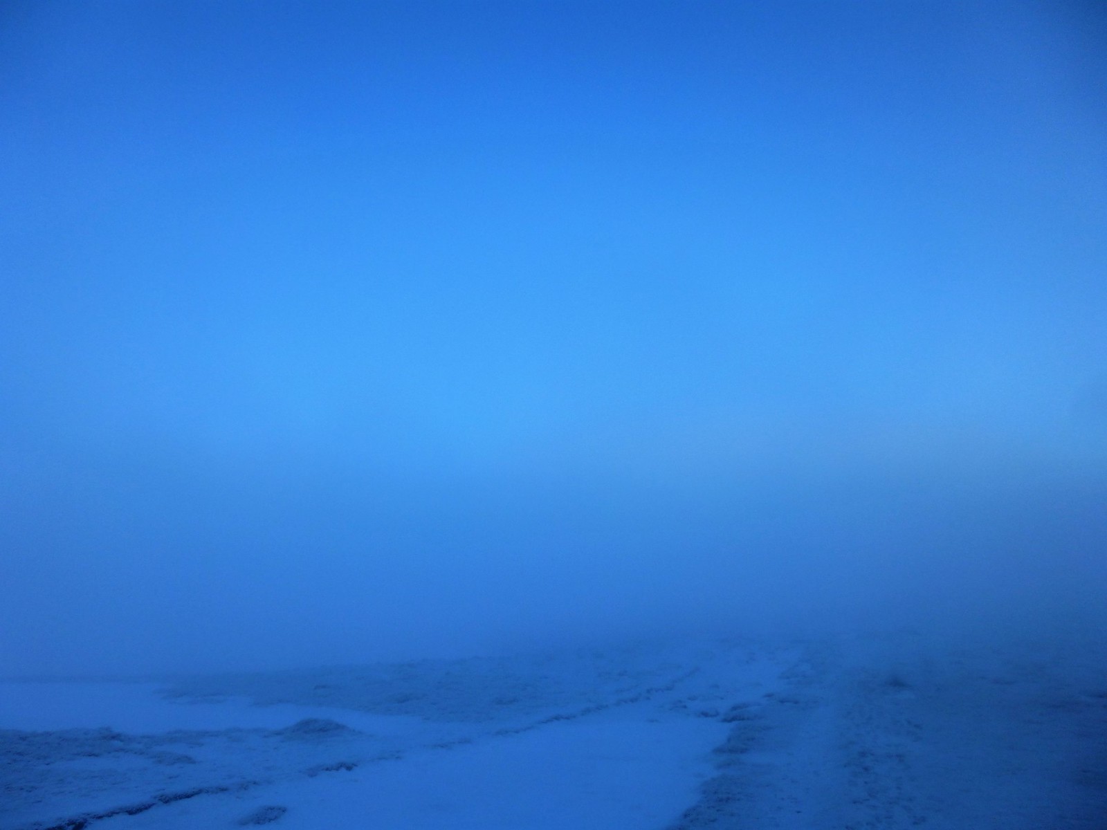
The route follows a track over the River Muick before turning right at a signpost and heading over the flat ground of Glen Muick towards some building owned by Balmoral Estate. From here, the now path winds westwards, climbing gently and crossing the Allt na Giubhsaich. Freezing cloud cover up above was still disappointingly thorough, though I was confident this would, as the old adage goes, 'burn away' in time for the final ascent of Lochnagar and views into its famous corrie. Fingers crossed!
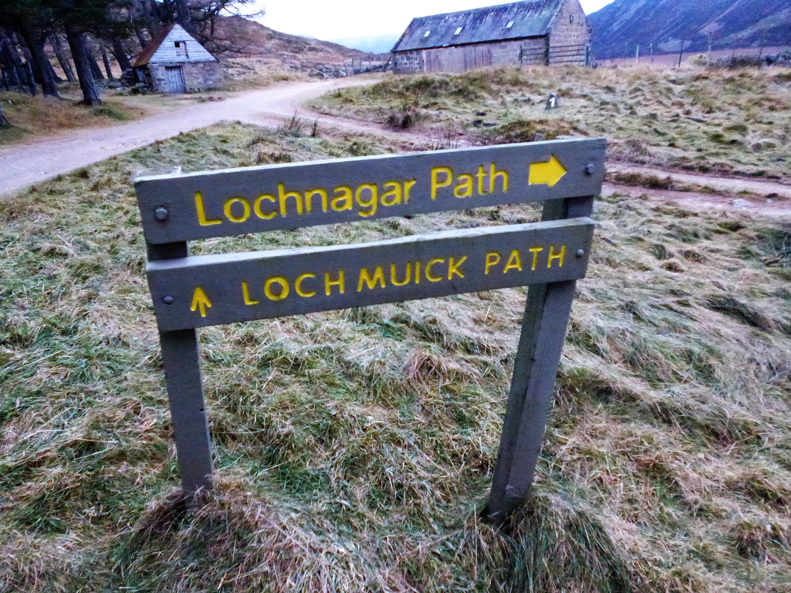 Sign
Sign by
Ross Thomson, on Flickr
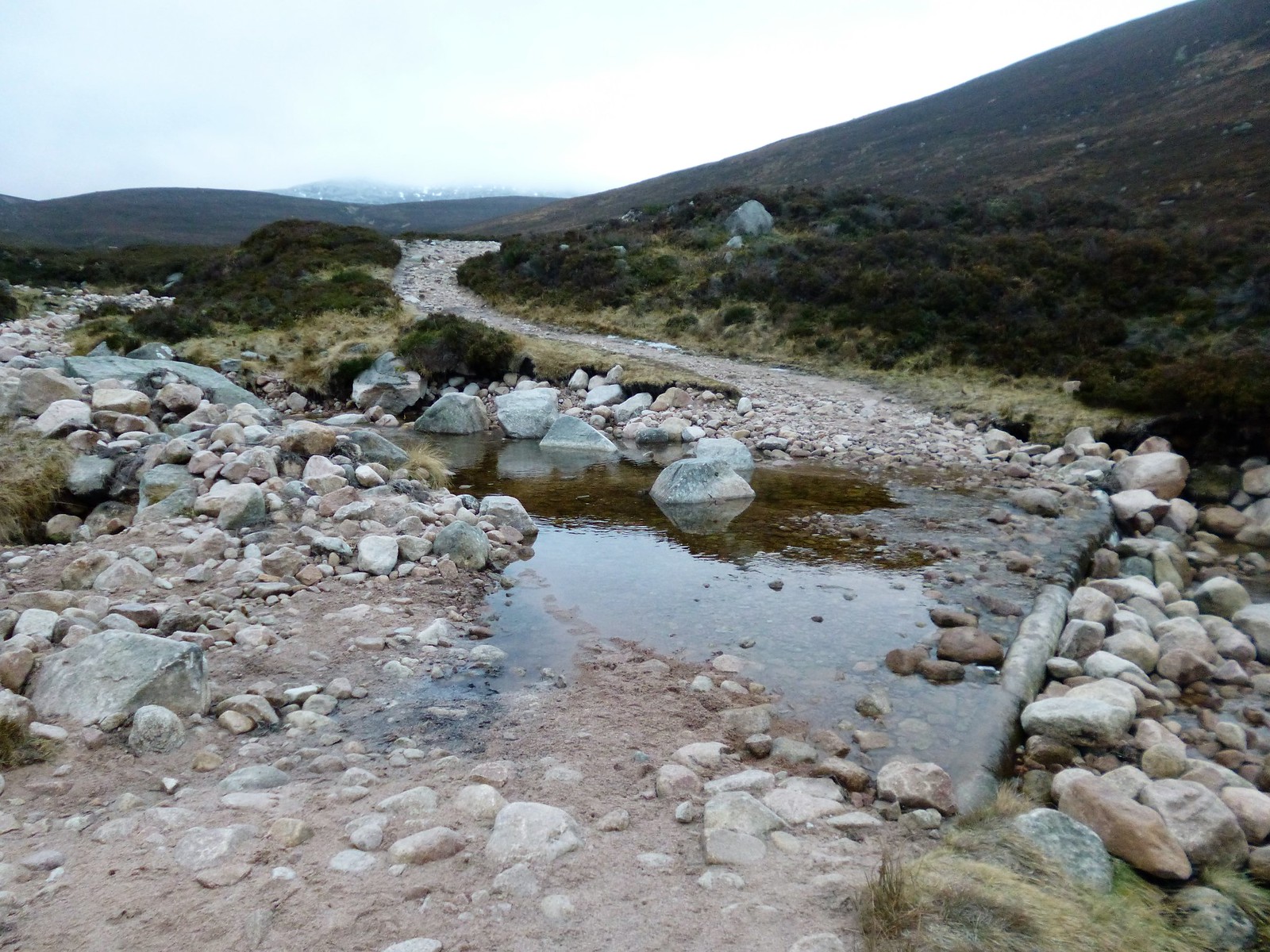 Allt na Giubhsaich crossing
 by
Ross Thomson, on Flickr
 P1030695
 by
Ross Thomson, on Flickr
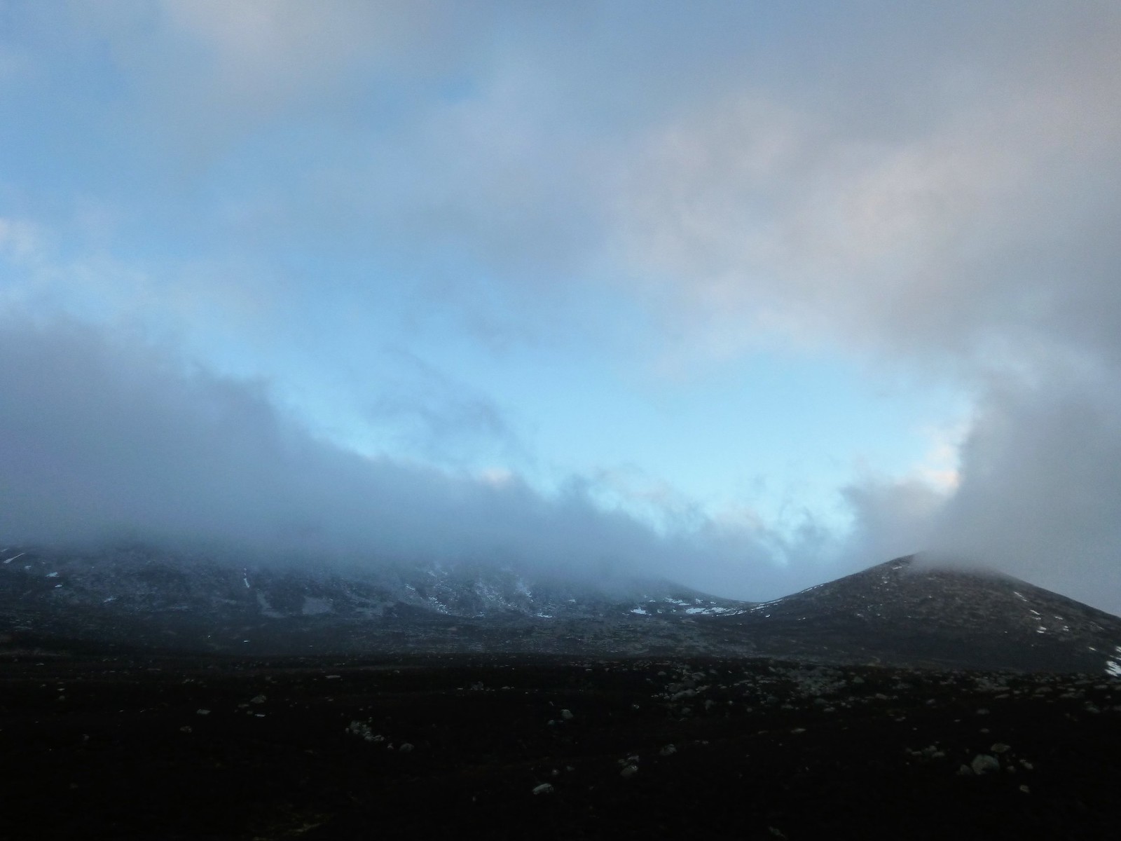
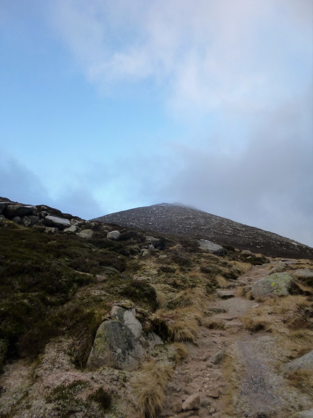
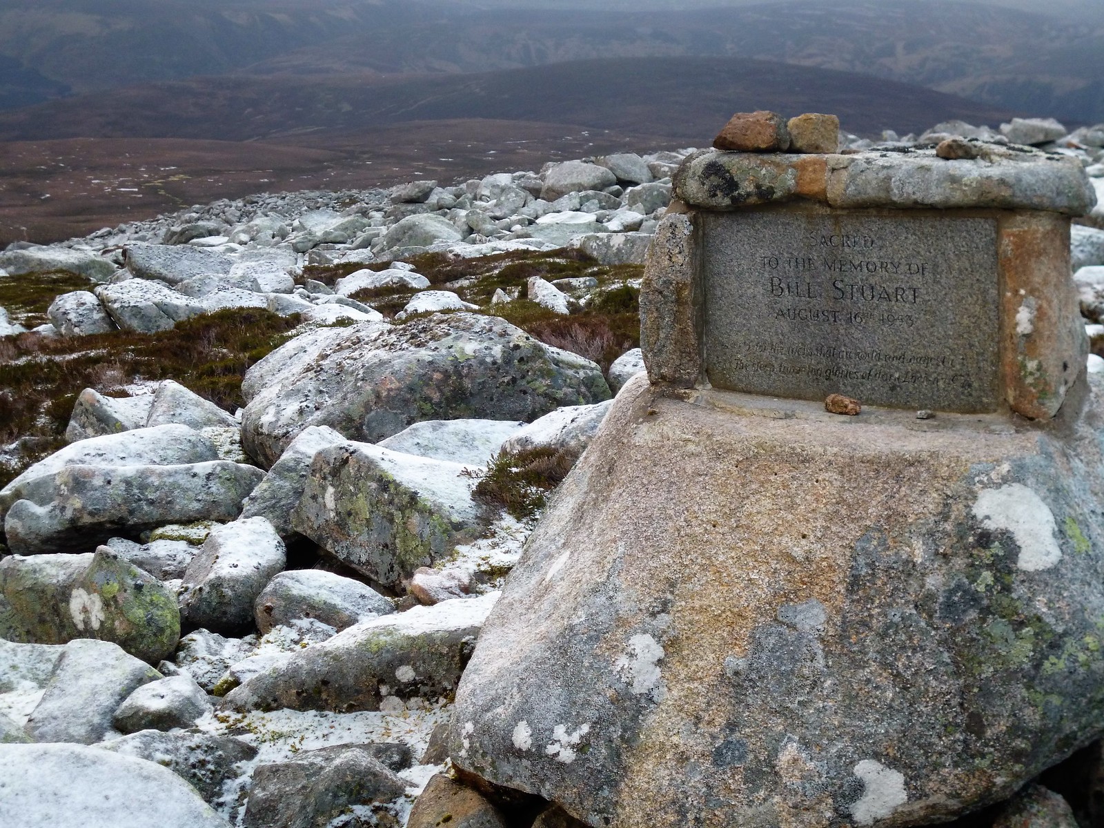
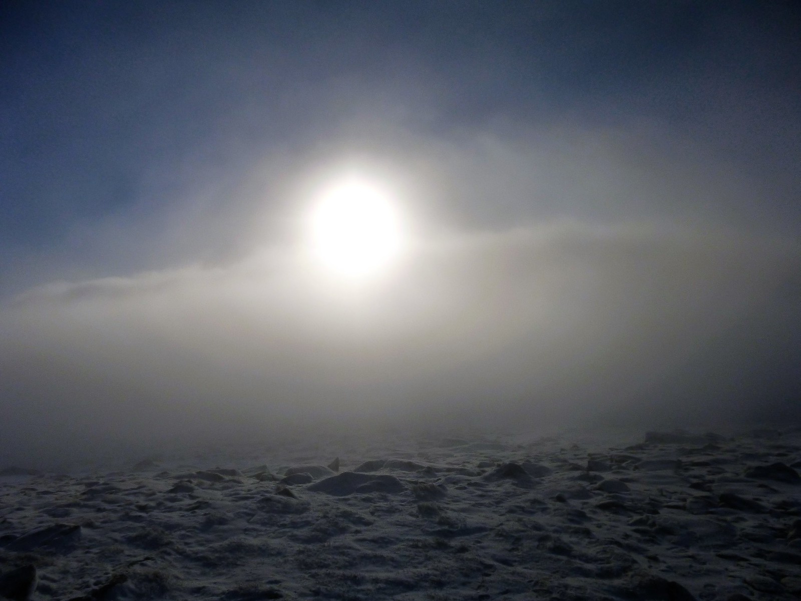
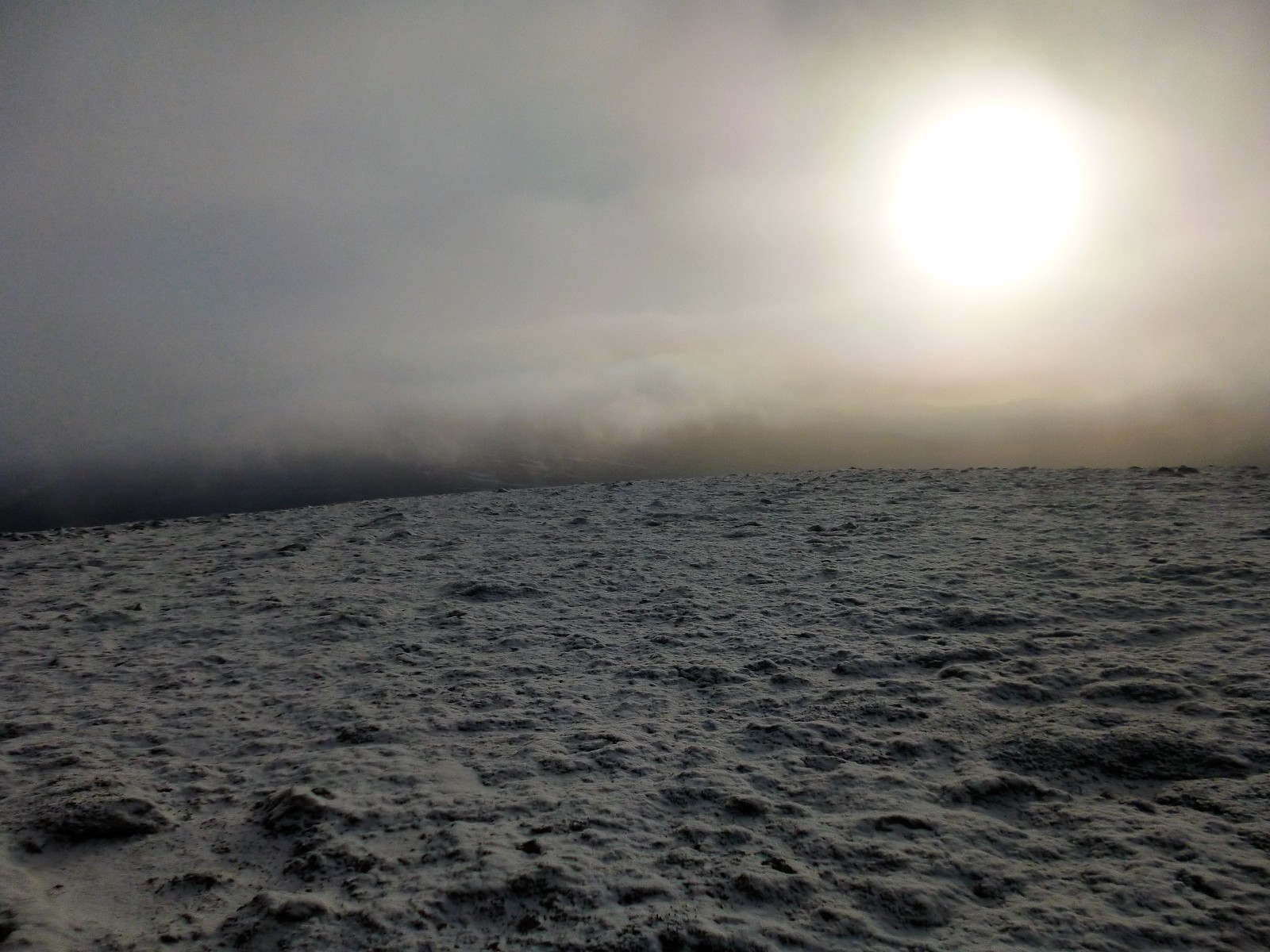
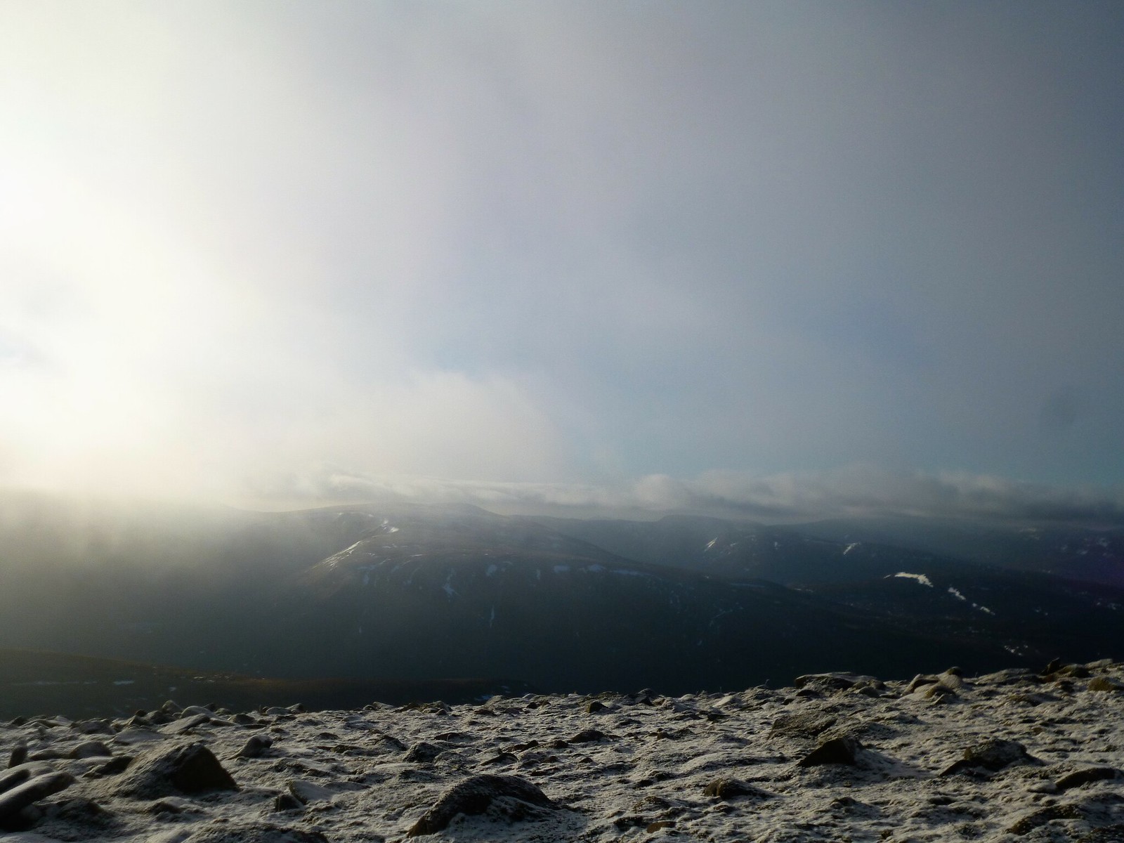
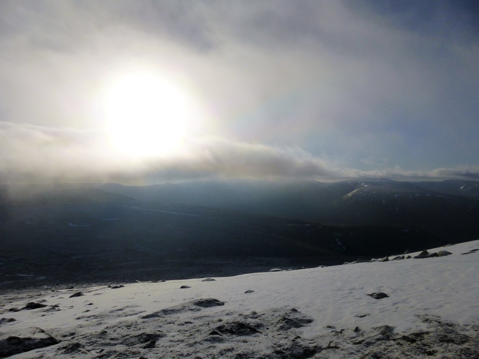
Sadly, it was not to be. Not yet anyway. Some patches of blue on the ascent to the bealach, past the Bill Stuart memorial, gave some promise, but by the time I reached it, it was a real pea-souper. I ran up Meikle Pap in blind hope, but in vein - the views which so famously inspired Byron would have to wait for another day

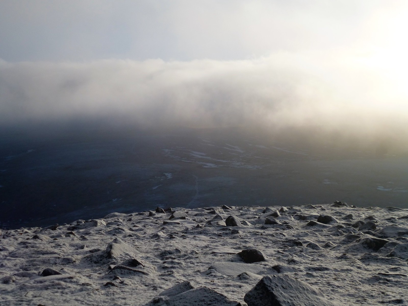
 Cloud clearing on Meikle Pap
 by
Ross Thomson, on Flickr
 towards Ballater
 by
Ross Thomson, on Flickr
 P1030706
 by
Ross Thomson, on Flickr
 memorial
 by
Ross Thomson, on Flickr
 from Meikle Pap
 by
Ross Thomson, on Flickr
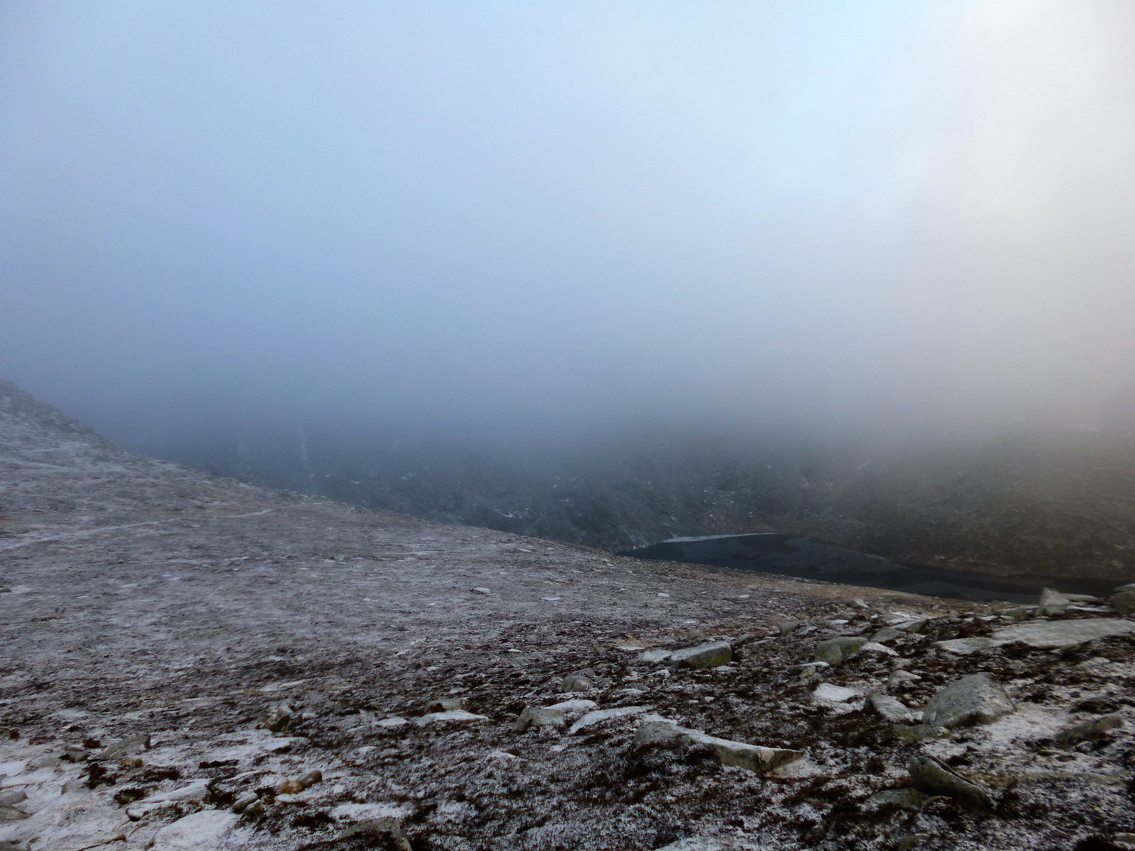
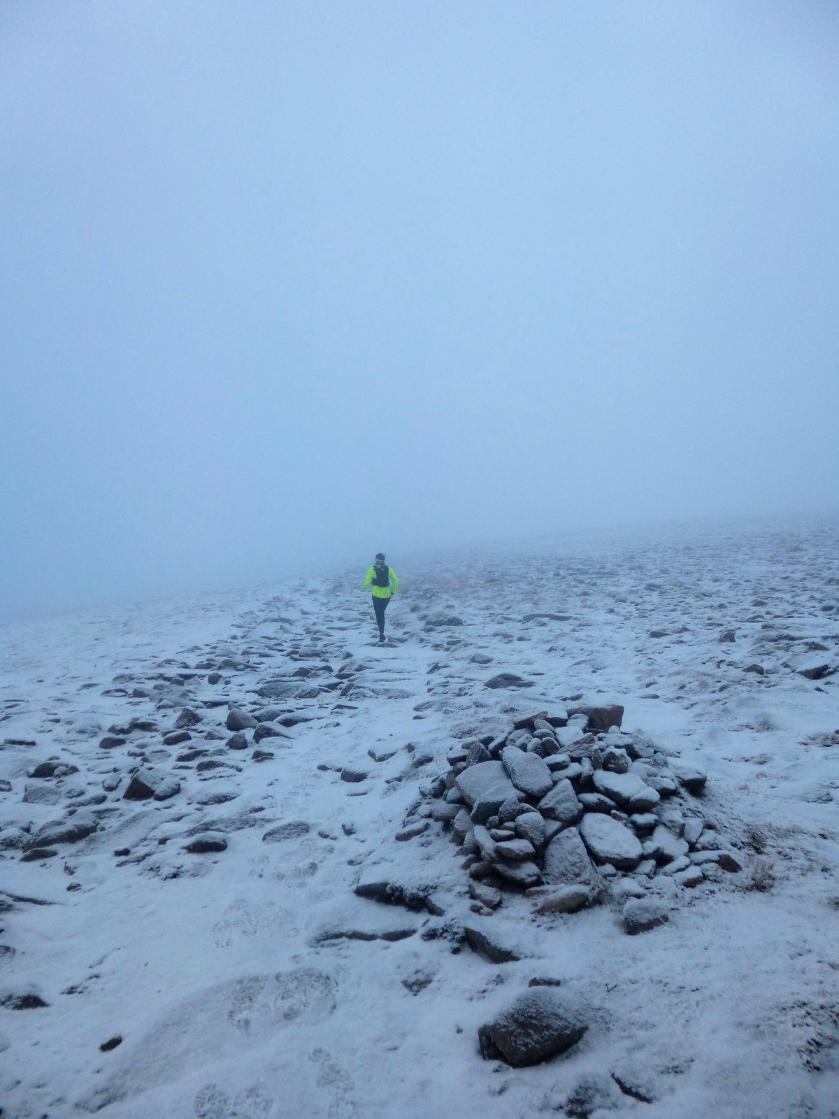
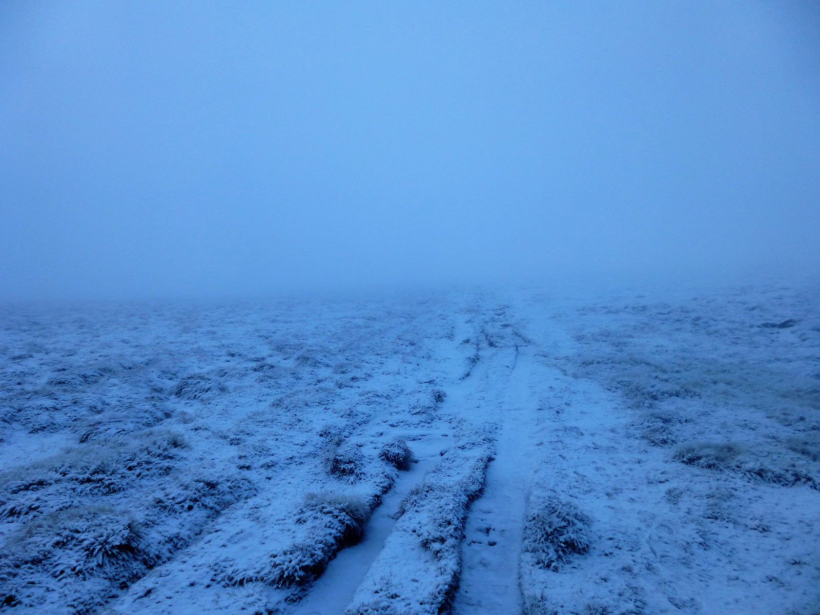
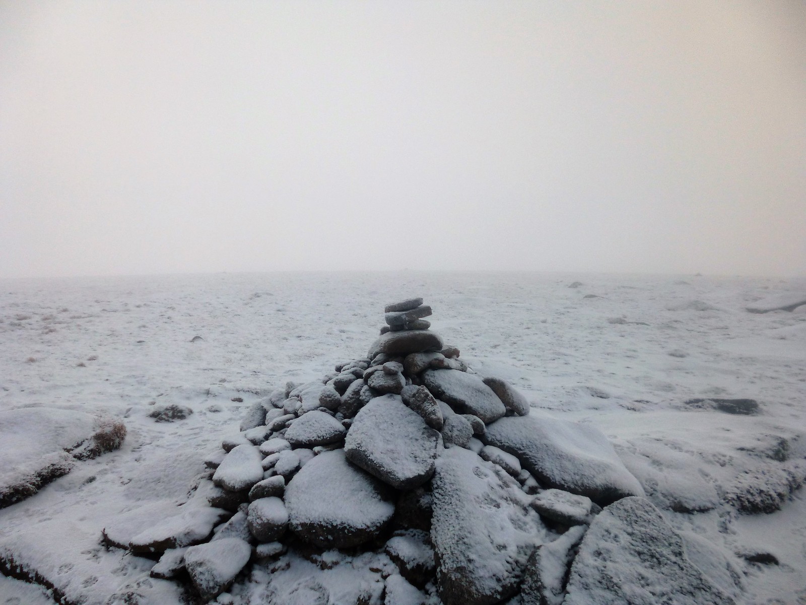
From here, the hard work really begins, ascending a steep boulderfield into the mists. Routefinding would have been desperately difficult, were it not for a hardy fell runner ahead of me, whose footsteps I was able to follow. Up here, on the ridge which curves round towards the summit of Lochnagar, was where the windchill really started to take effect, and exposed skin had to covered at all costs. I went past the fell runner when she stopped, then she passed me again when she started again, and on we went like this for what seemed like ages, shifting the responsibility of navigation in near white-out between us., aided at least by some small cairns.
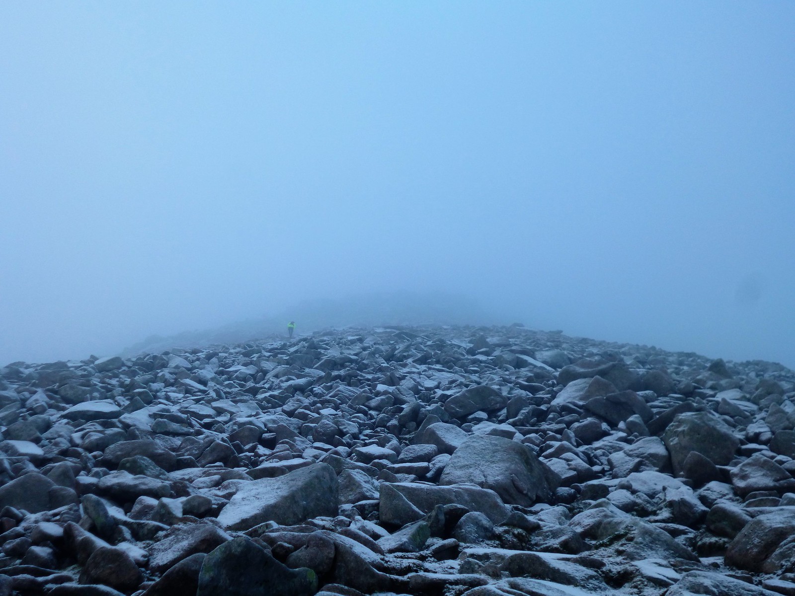 boulderfield and fell runner
 by
Ross Thomson, on Flickr
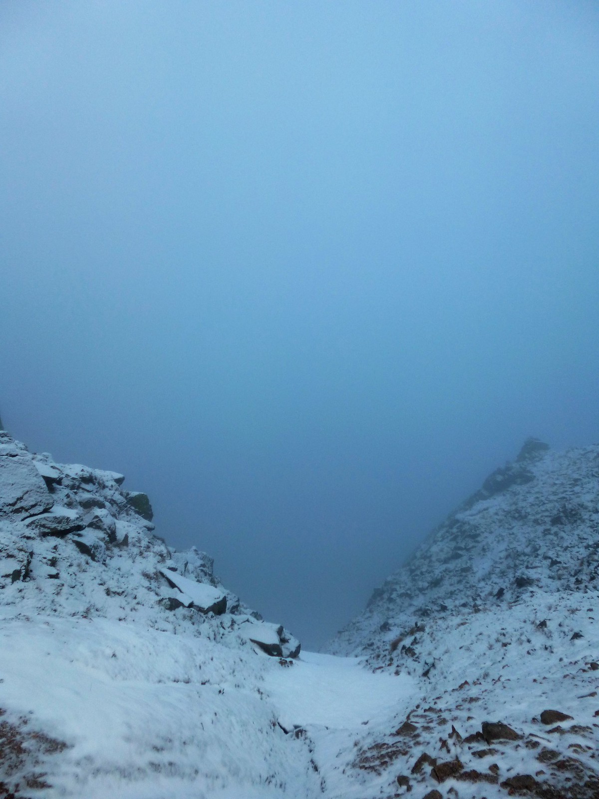 Red Spout
 by
Ross Thomson, on Flickr
 P1030717
 by
Ross Thomson, on Flickr
 P1030721
 by
Ross Thomson, on Flickr
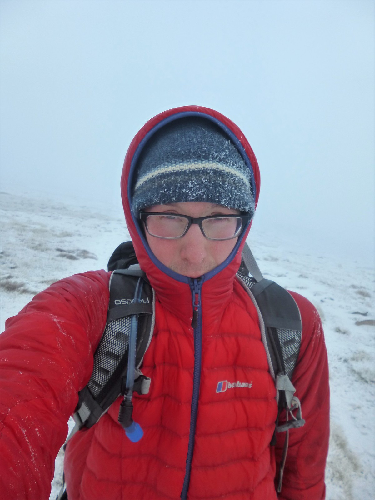
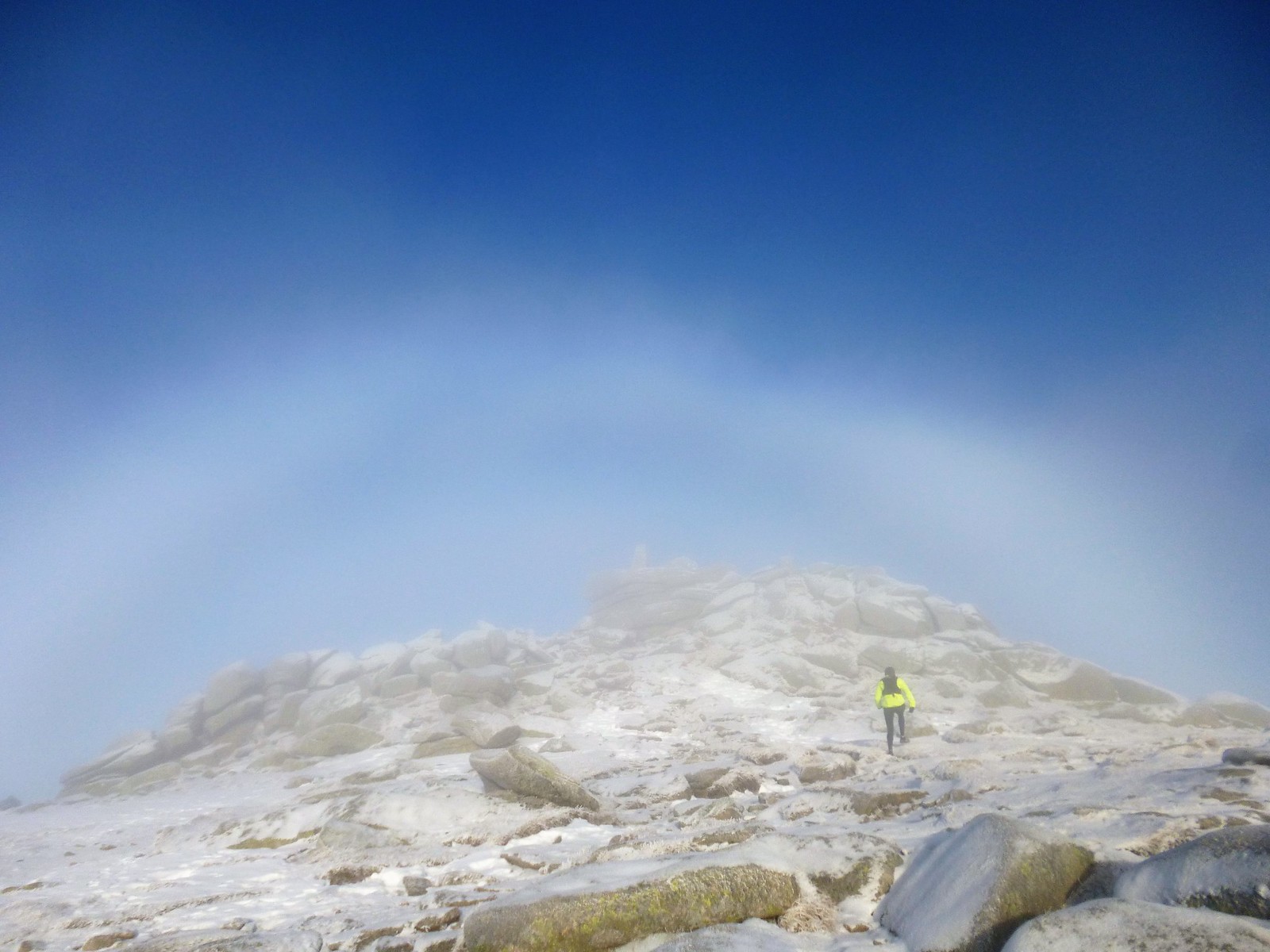
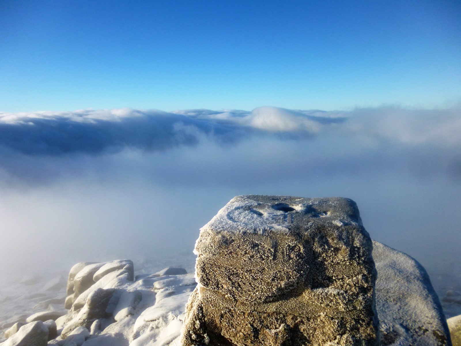
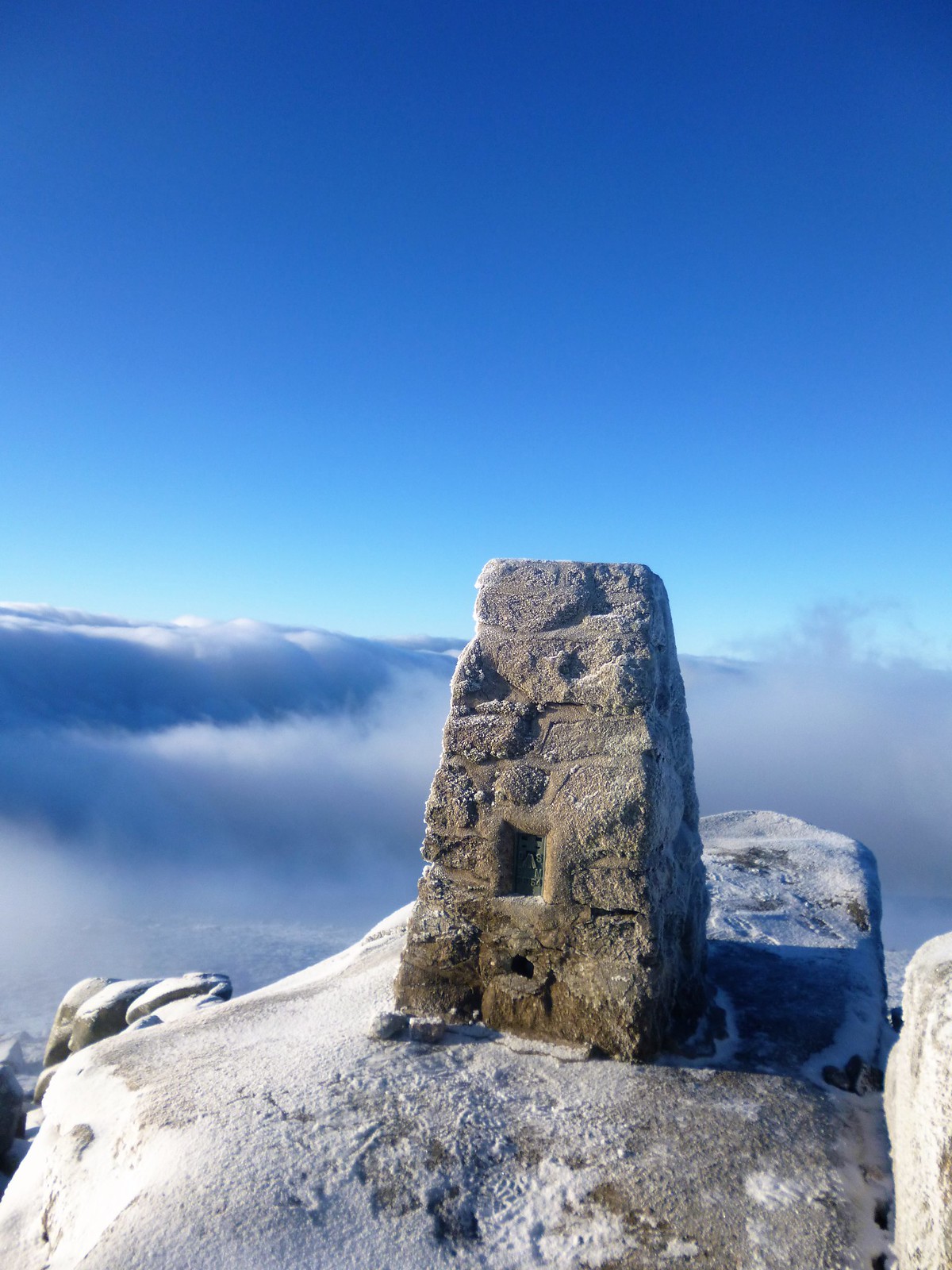
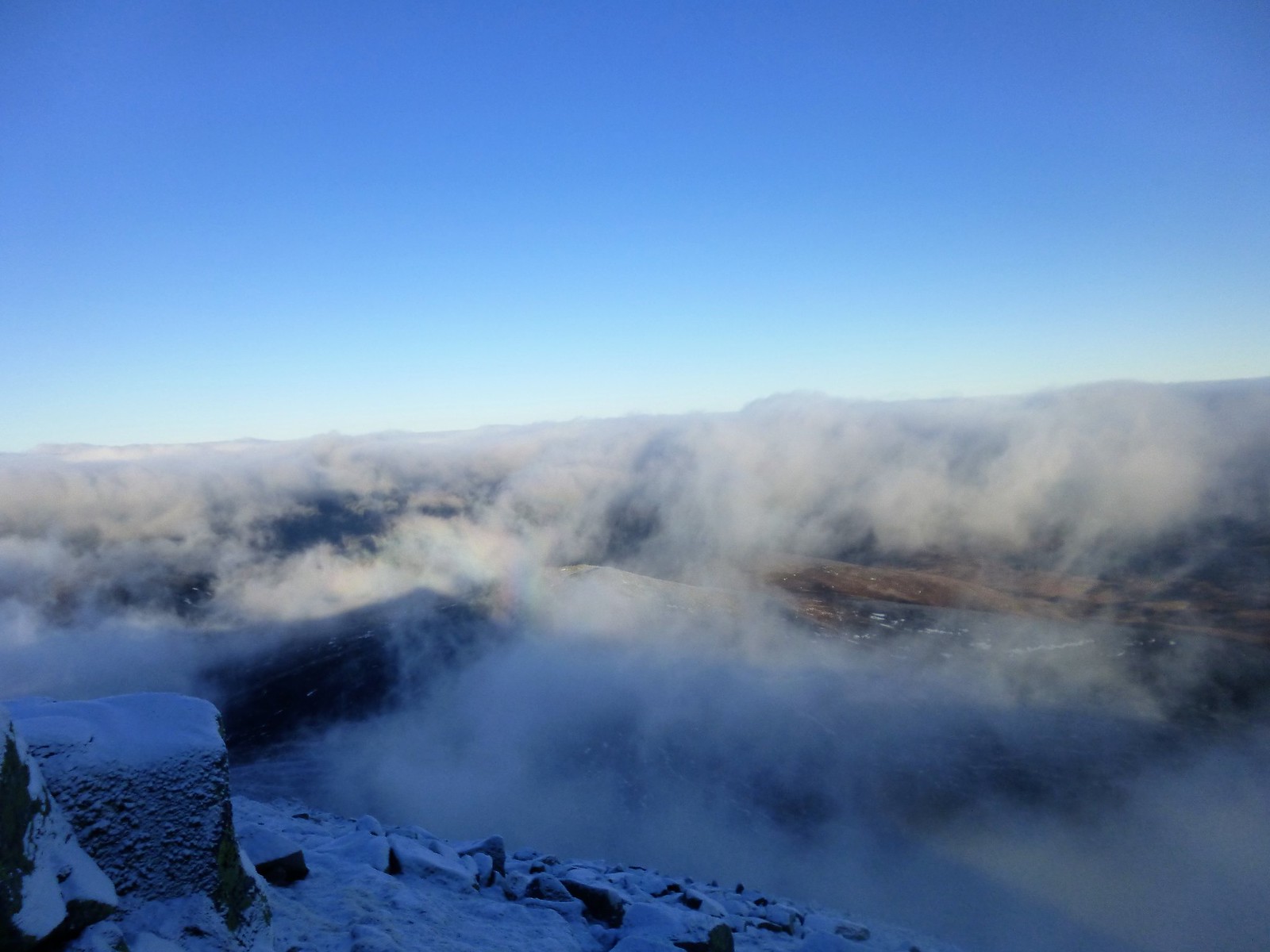
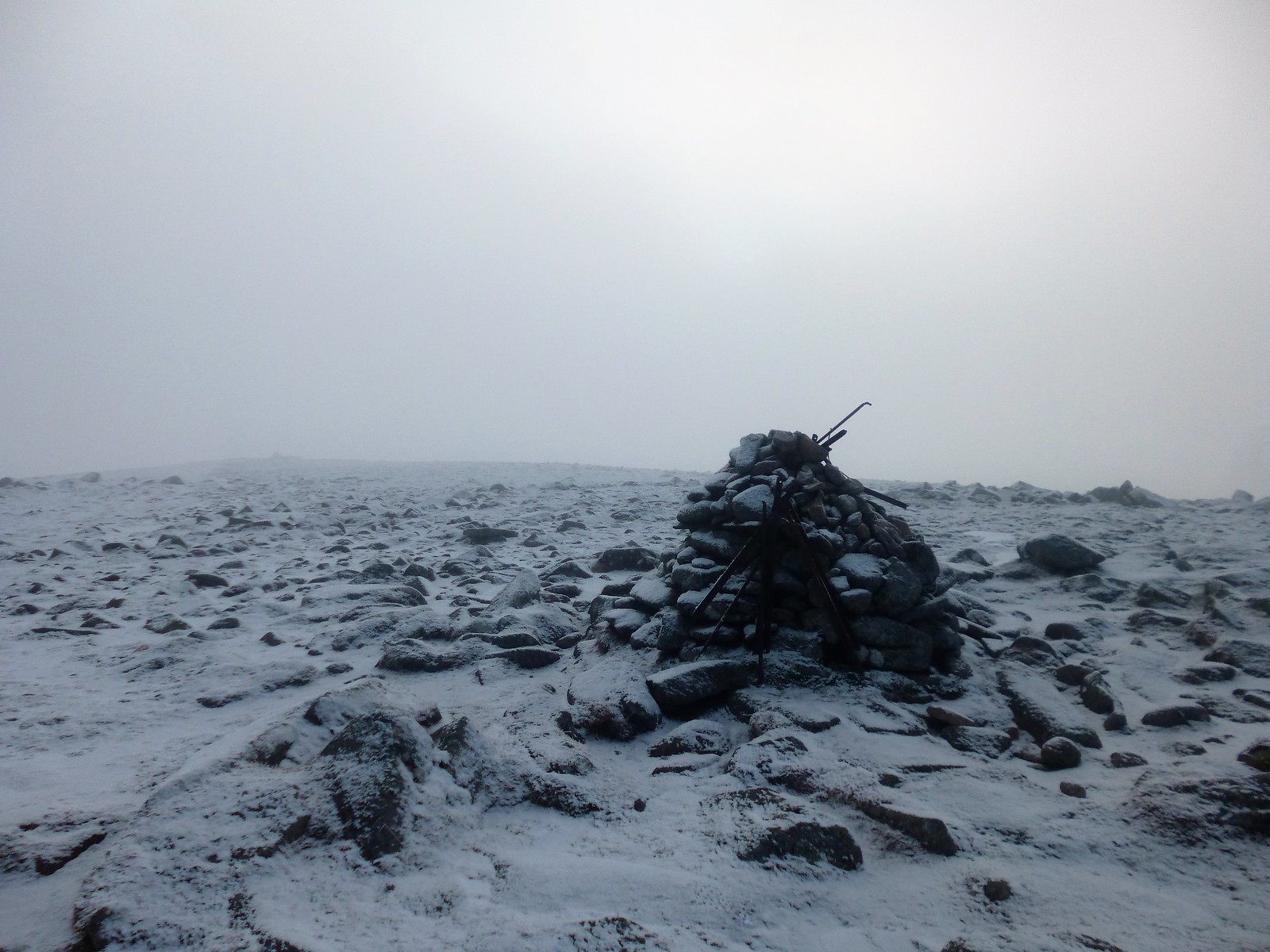
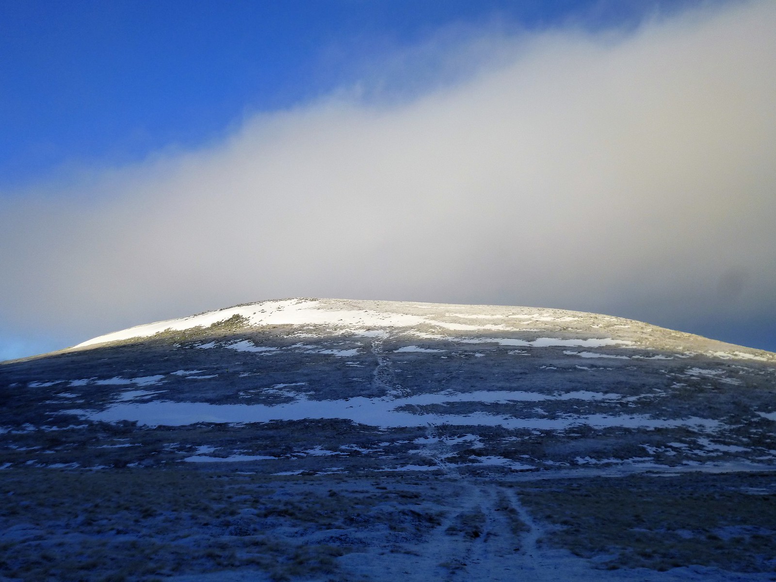
By this time, my snot freezing, I had surmised I was in for a long day. Yet, as we continued over the plateau, the sky began to take on a more blueish hue - giving me a sudden hope for inversion. As we approached the summit, hope turned to glory - the top 5 or 10 metres of sitting above the clouds in glorious crisp sunshine, not another summit to be seen for miles around. My first experience of 'Dark' Lochnagar was anything but.
 P1030726
 by
Ross Thomson, on Flickr
 the sun appears
 by
Ross Thomson, on Flickr
 approaching the summit
 by
Ross Thomson, on Flickr
At the summit, the cold wind made it very exposed. Chatted to the fell runner briefly about our brilliant luck, before she saw sense and headed down. After something to eat and struggling to take some photos (too cold to take gloves off for too long), I followed suit. Would have been perfectly happy to have not seen another thing for the remaining 6 hours

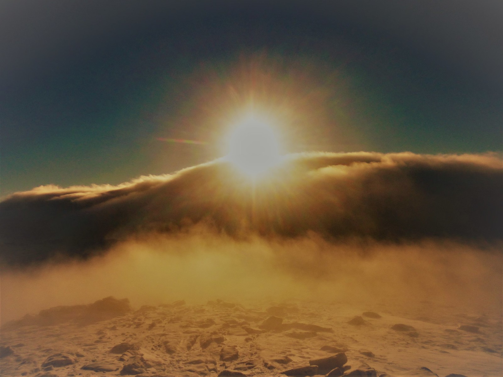
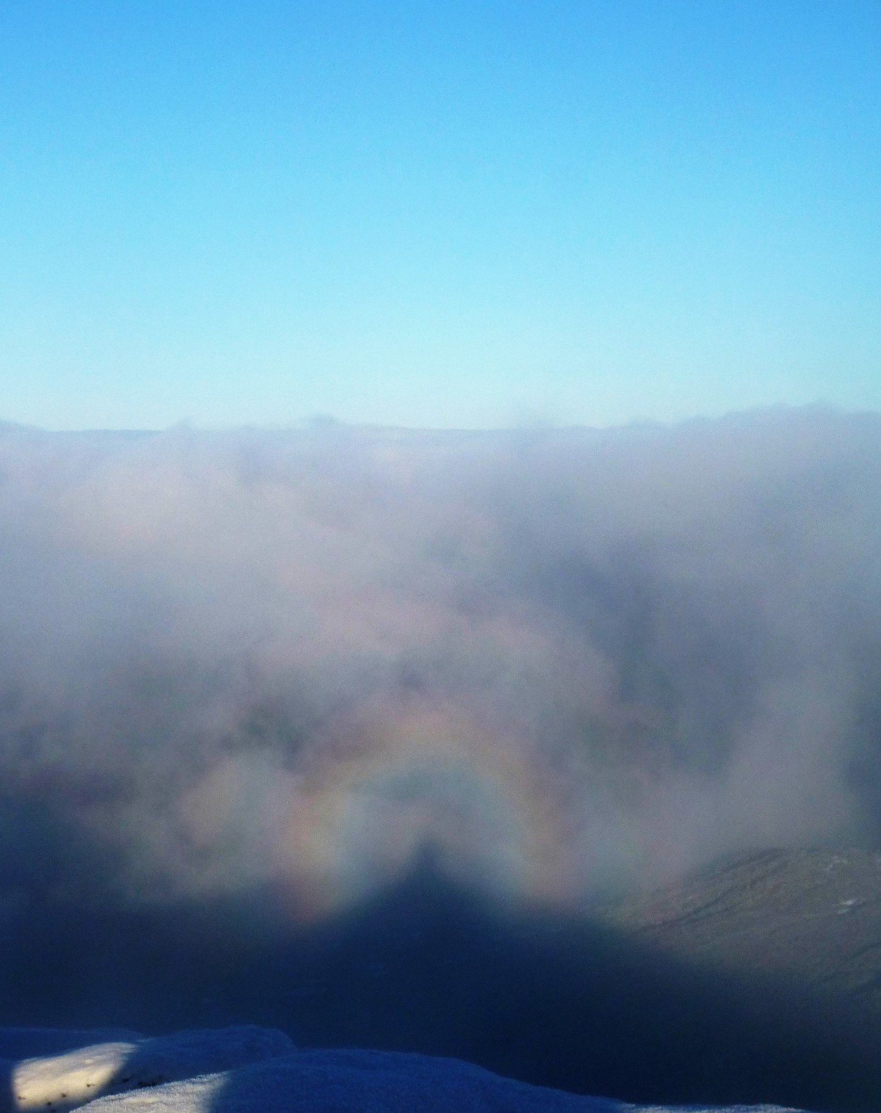 broken spectre
 by
Ross Thomson, on Flickr
 summit
 by
Ross Thomson, on Flickr
 P1030737
 by
Ross Thomson, on Flickr
 P1030739
 by
Ross Thomson, on Flickr
 P1030740
 by
Ross Thomson, on Flickr
The descent southwest towards the stuic was a difficult one - lots of ice making falls unavoidable, and navigation difficult. A landrover track is loosely followed - apparently there are good views down the stuic buttress on the right from here, but visibility on this day suggested I could have been anywhere! A cut-off is taken directly to the left after a kilometre or so, climbing gently for 500m or so to find the small cairn for Carn a'Choire Bhoidheach. My body no longer working as hard as on the Lochnagar climb, I was starting to get colder and so, worryingly, was the 3 litres of water in my pack - the tubes already partially frozen.
 descent to munro 2
 by
Ross Thomson, on Flickr
 Carn a'Choire Bhoidheach
 by
Ross Thomson, on Flickr
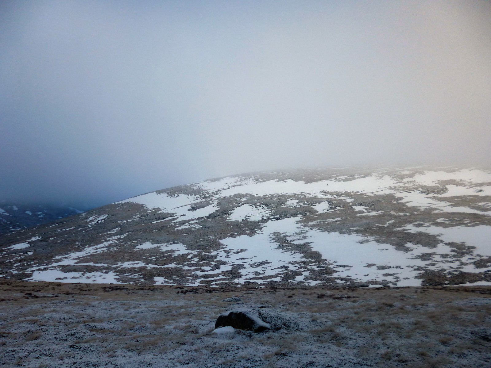
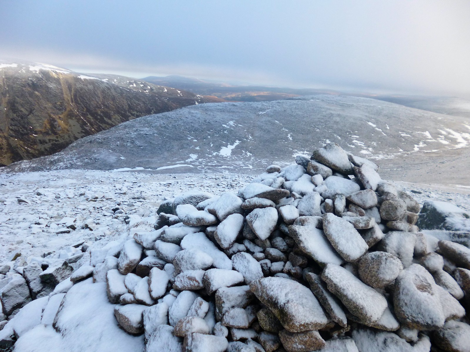
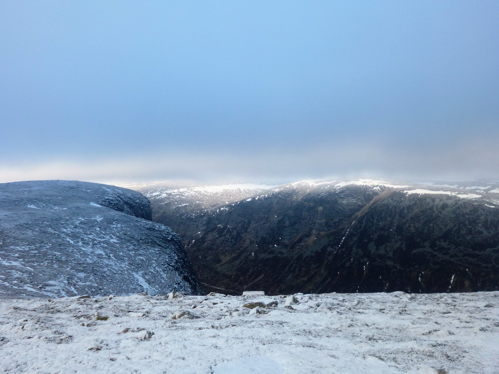
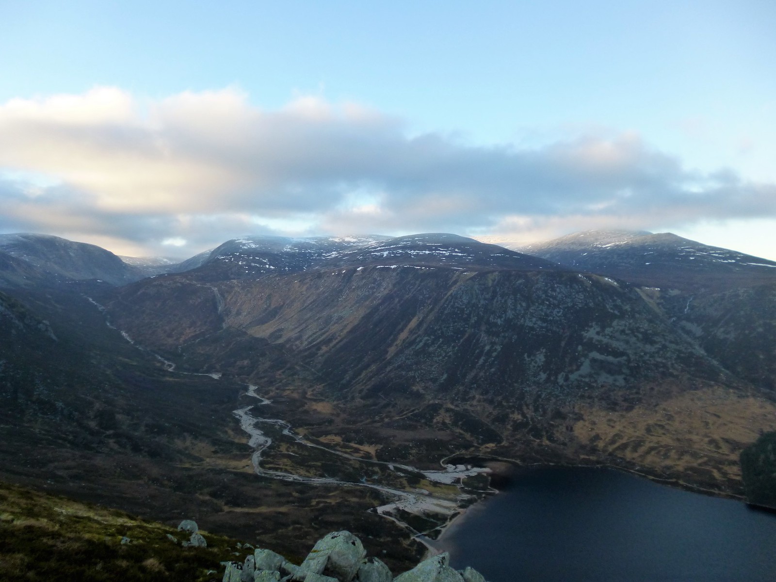
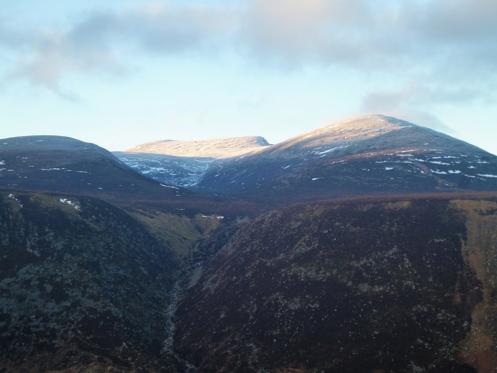
Not hanging about, descent from here is totally pathless, but more scope to the day's targets came when appearing below the clouds and looking across the hanging valley of the Allt an Da Chraobh Bheath. The walk from here certainly becomes more about scale than about character, and the sense of desolation, in these conditions especially, was brilliant.
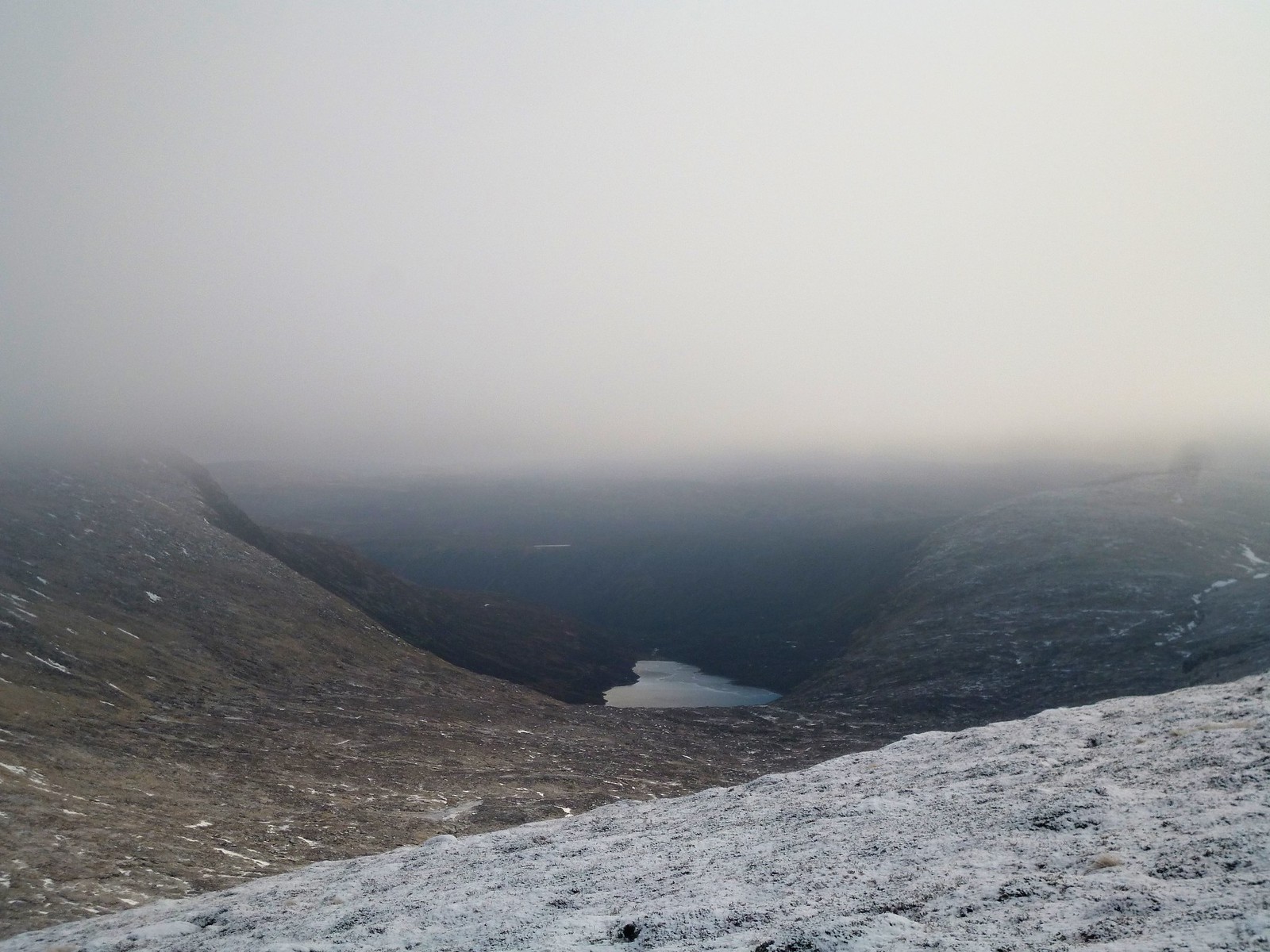
I followed the fell runner's fluorescent colours up the flanks of the next hill, before looking at surrounding peaks and deciding something didn't seem right. A quick look at the map confirmed I was on the wrong hill - Carn an t-Sagairt Beag as opposed to Carn an t-Sagairt Mor! I tried to shout on the fell runner, as she had told me she was going to do the same circuit as me, but to no avail. Having corrected my error, I crossed the burn and took a bee-line up the 'big' hill instead of the 'wee' one, the second big effort of the day. Looking back, the vast expanse of the area suddenly comes sharply into focus - a desolate cold plateau as far as the eye can see to the south, the steep drop to Dubh Loch between the crags, and distant Loch Muick. The mix of colours especially - the blues, the blacks, the grey and the oranges - made a perfect Winter picture
 Carn an t-Sagairt Beag
 by
Ross Thomson, on Flickr
 White Mounth
 by
Ross Thomson, on Flickr
 Loch Dubh
 by
Ross Thomson, on Flickr
Across the elongated summit plateau to the summit of Carn an t-Saigart Mor, I was on my own, joined 5 minutes later from the east by the beleaguered and exasperated fell runner, having realised her error too late. Oh well, nothing wrong with an extra top! I looked about for the RAF wreckage too the north but could not find it. Keen to crack on, I wolfed down some food, but could not wash it down with anything as all my water was now frozen solid! Do any members have some tips for how to avoid this happening?
 summit
 by
Ross Thomson, on Flickr
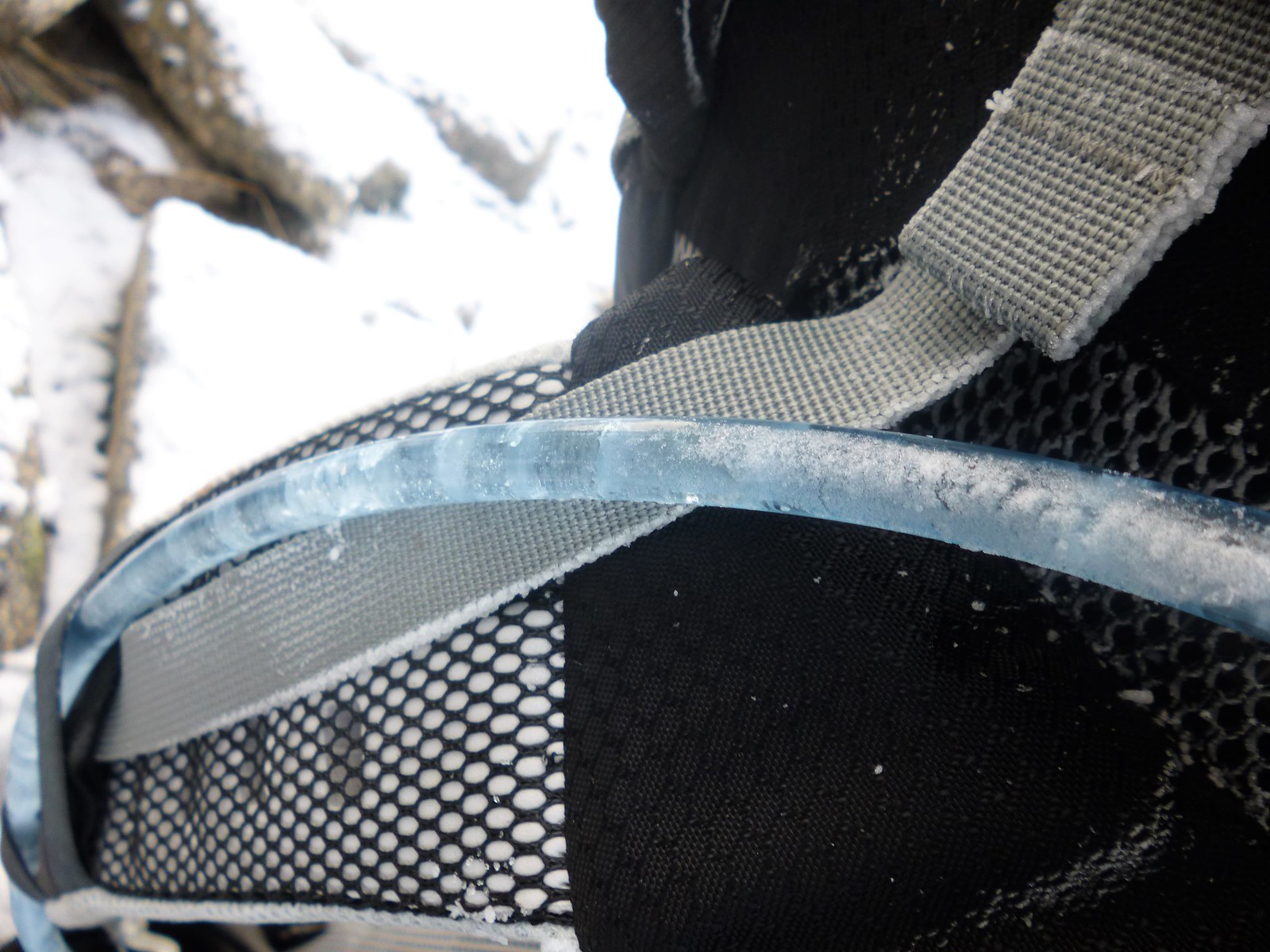 frozen
 by
Ross Thomson, on Flickr
 P1030763
 by
Ross Thomson, on Flickr
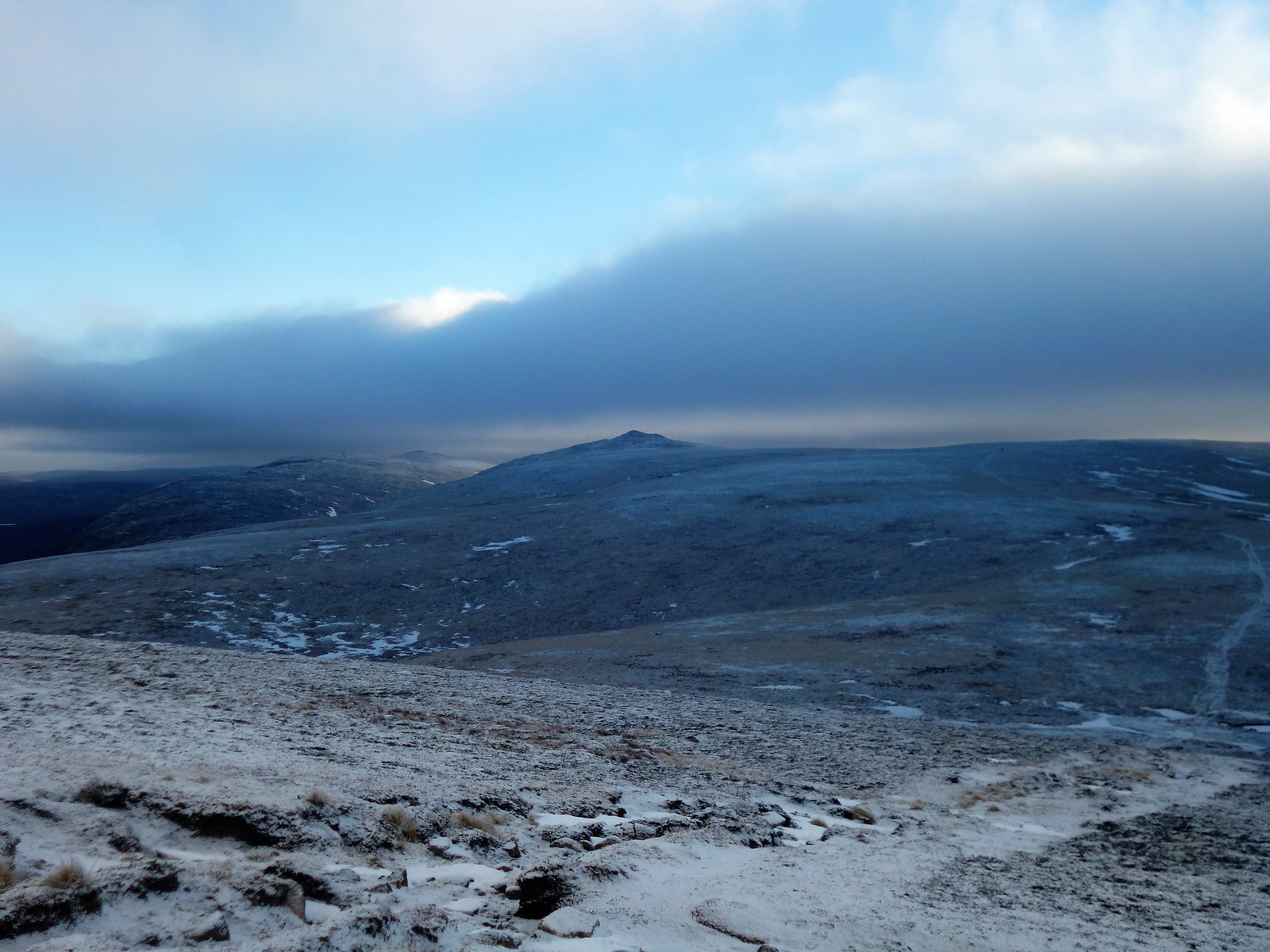
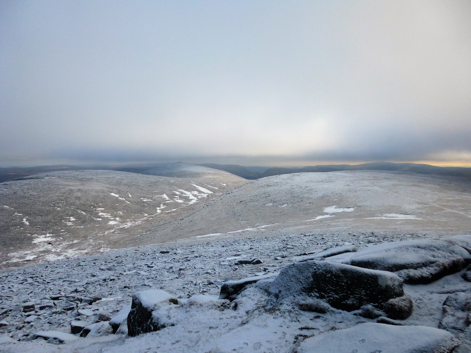
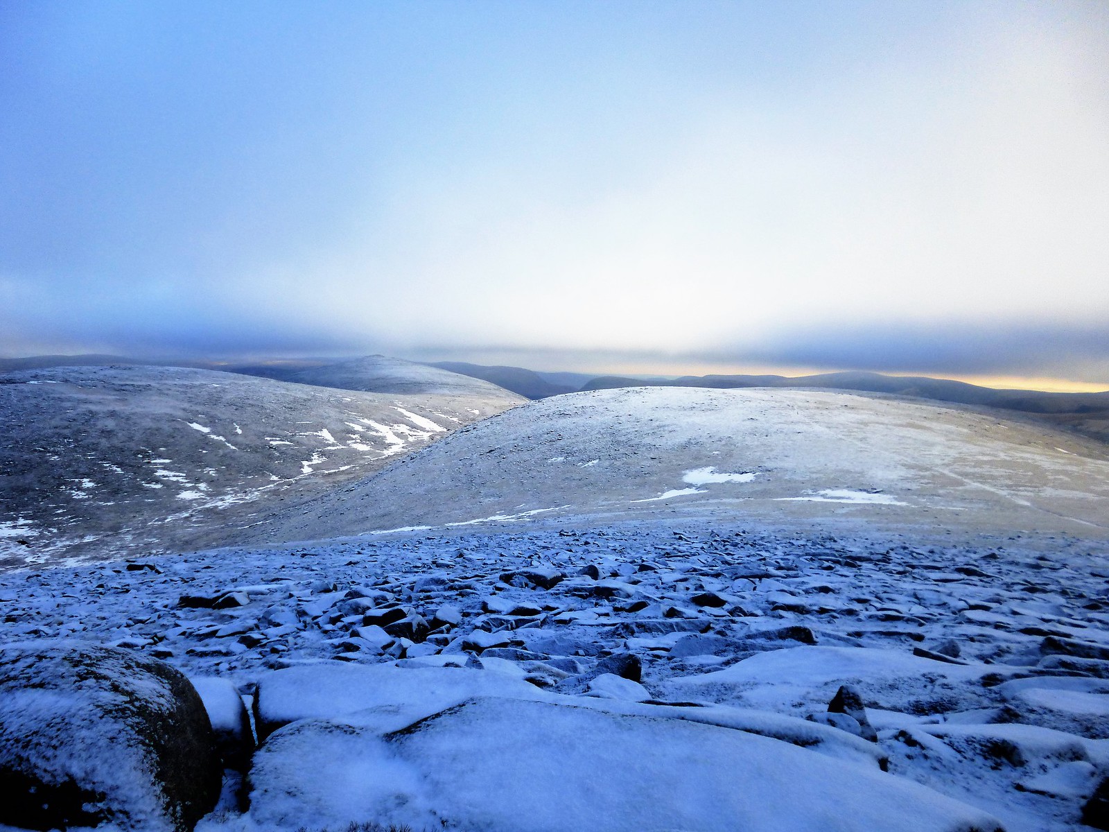
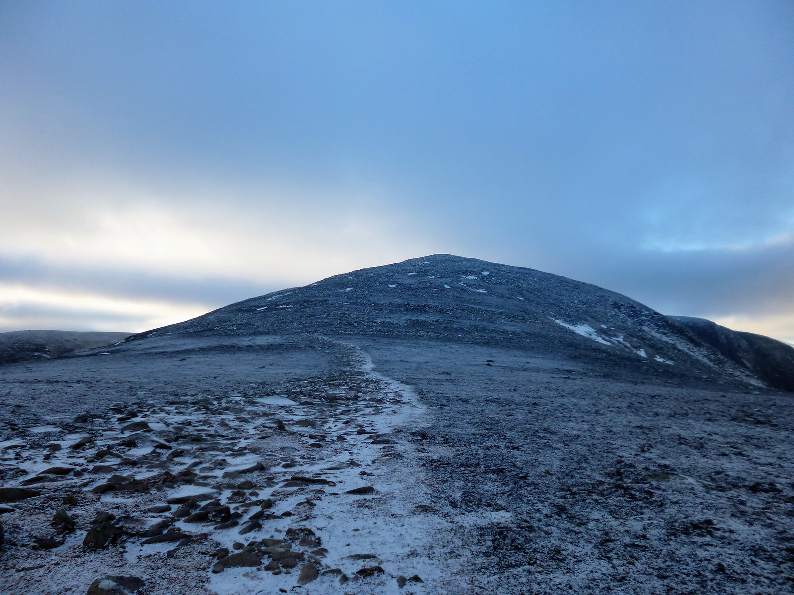
The route from the summit area stretches out in front to the southeast, cloud now eventually showing signs of clearing for good. Views started to improve to the hills around Glenshee to the east, including tomorrow's targets, the Glas Maol munros. Across this vast and desolate expanse towards the distant Cairn Bannoch, is isolated country - frozen and quiet. The silence of everything bar the odd bird and the crunching of my own footsteps here made me stop for a good 5 minutes at one point, look around, close my eyes and take some deep breaths. If ever there was a perfect time to meditate! I ascended slowly to Cairn Bannoch in bliss.
 descent to the moor
 by
Ross Thomson, on Flickr
 to corrie loch Kander and Carn an Tuirc
 by
Ross Thomson, on Flickr
 P1030767
 by
Ross Thomson, on Flickr
 to Cairn Bannoch
 by
Ross Thomson, on Flickr
 P1030772
 by
Ross Thomson, on Flickr
 Cairn Bannoch summit
 by
Ross Thomson, on Flickr
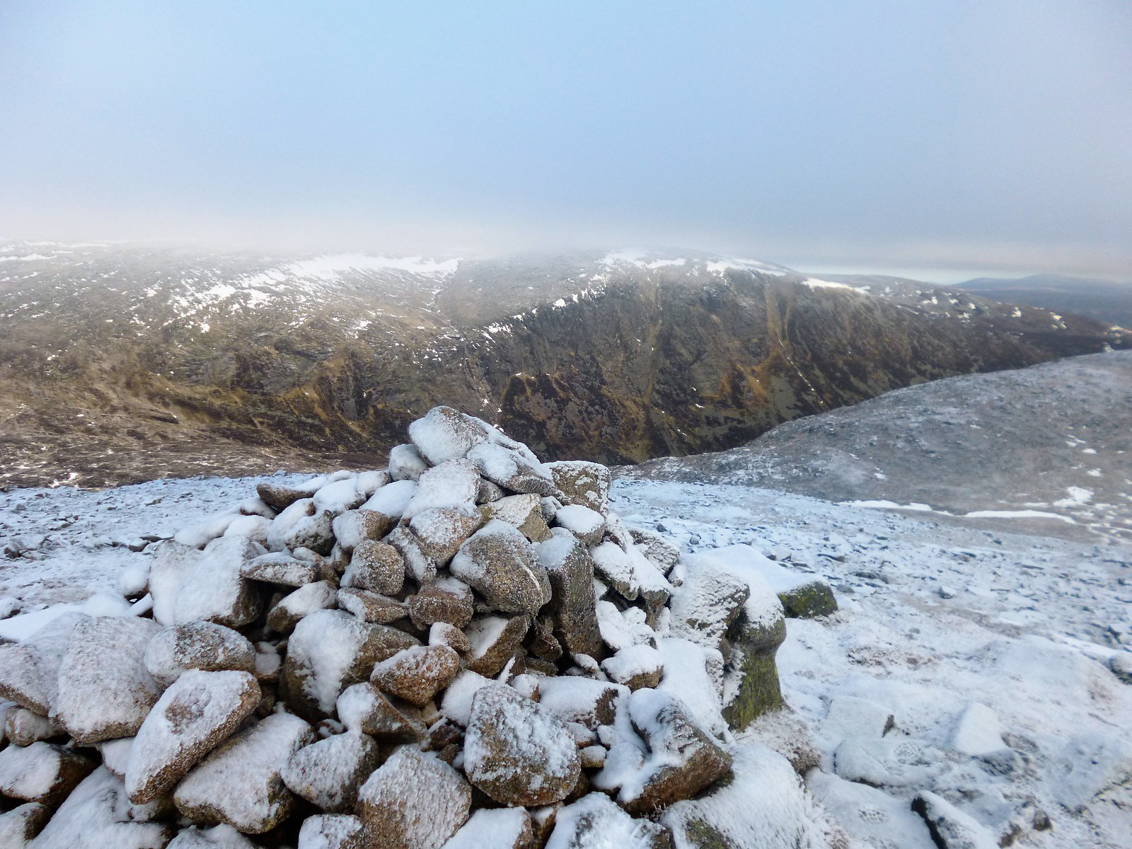
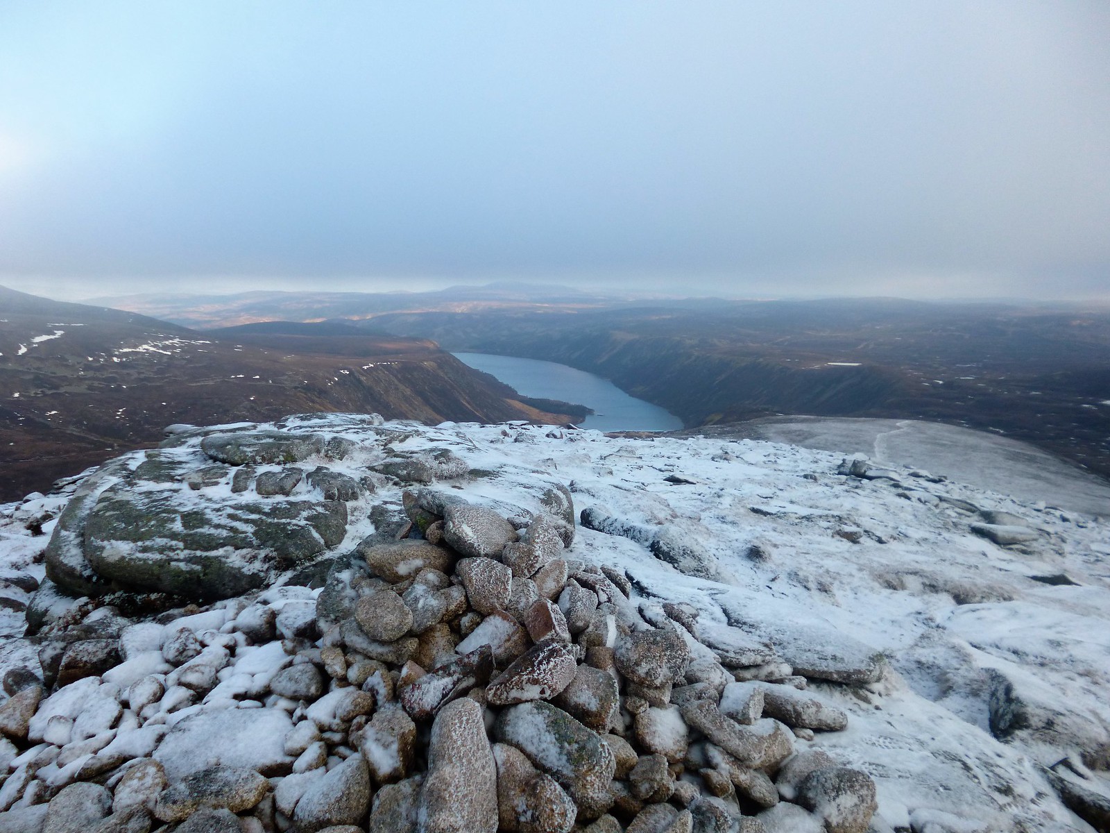
A final chat here with my friend the fell runner and we said our goodbyes as she headed off towards Broad Cairn. I took in the views over Eagles Rock. Lochnagar, for so long covered in freezing mist, was now poking out. It was around 1.30/2pm by now, and only felt slightly warmer than when I had stood on that particular high point, several hours previous. Still seriously cold, water still completely frozen. Onwards, then, to the bouldered Broad Cairn, the day's last summit, where Loch Muick was revealed. Looking back, the height and severity of the Ceag an Dubh-loch surprised me

 P1030781
 by
Ross Thomson, on Flickr
 P1030782
 by
Ross Thomson, on Flickr
 to Broad Cairn
 by
Ross Thomson, on Flickr
 Dubh loch crags
 by
Ross Thomson, on Flickr
 Broad Cairn summit
 by
Ross Thomson, on Flickr
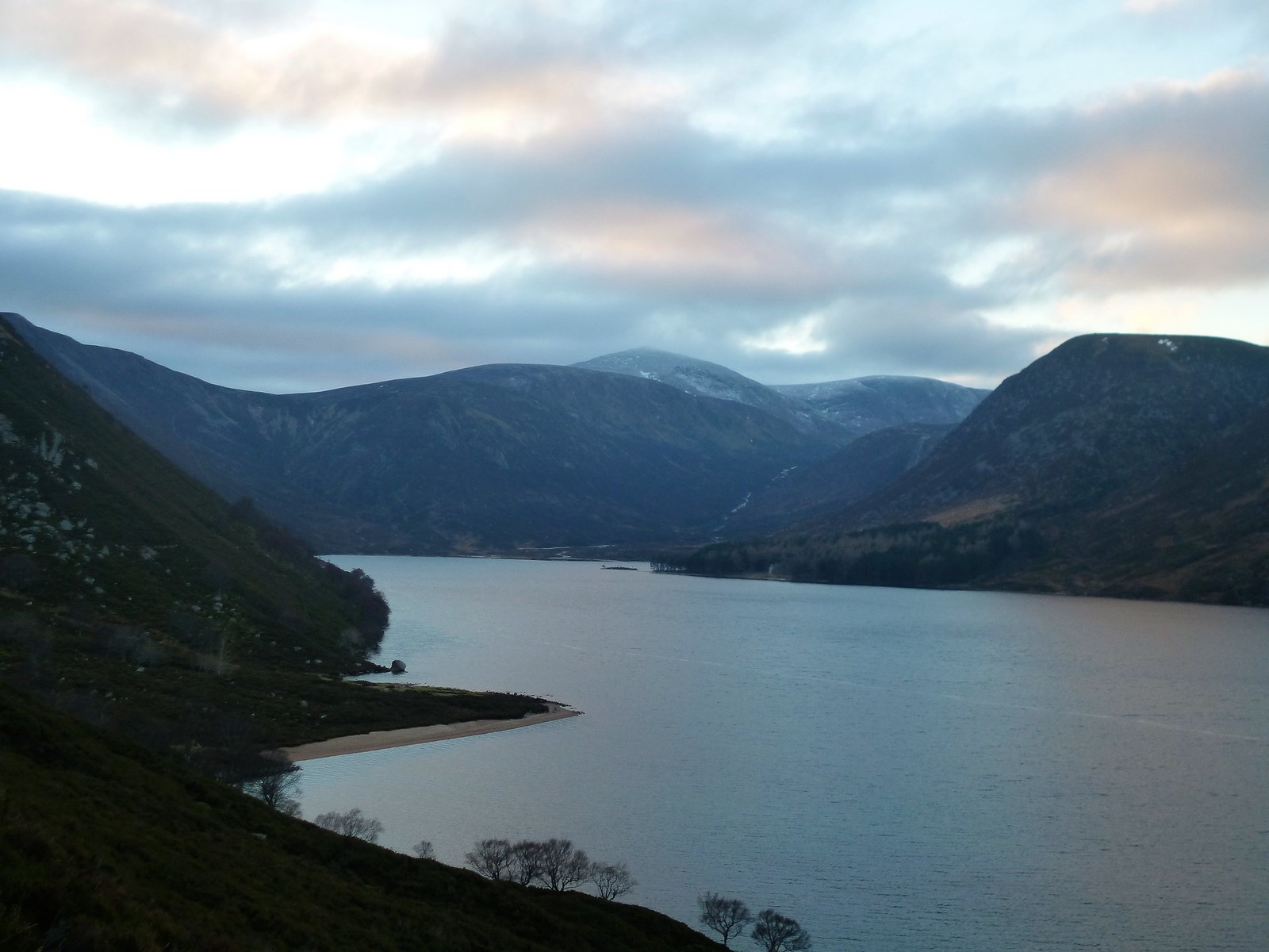
A very tricky boulder field follows on the initial descent, not helped today, not for the first time, by the ice. The walk-in is a long one, though very varied and enjoyable. Coming down eventually below the snow line, an undulating stalker's path is followed high above Loch Muick, affording great views as the sun began to set. Legs, knees and feet were very much feeling it by now, especially on the descent down to the banks of the loch, where I then made good time back to car. What a day!
Even arrived at my hostel in Ballater early in time for a pint before dinner and a very very early bed.
And just as well, for there were 4 more hills to tackle the next day
 route down
 by
Ross Thomson, on Flickr
 back to Broad Cairn
 by
Ross Thomson, on Flickr
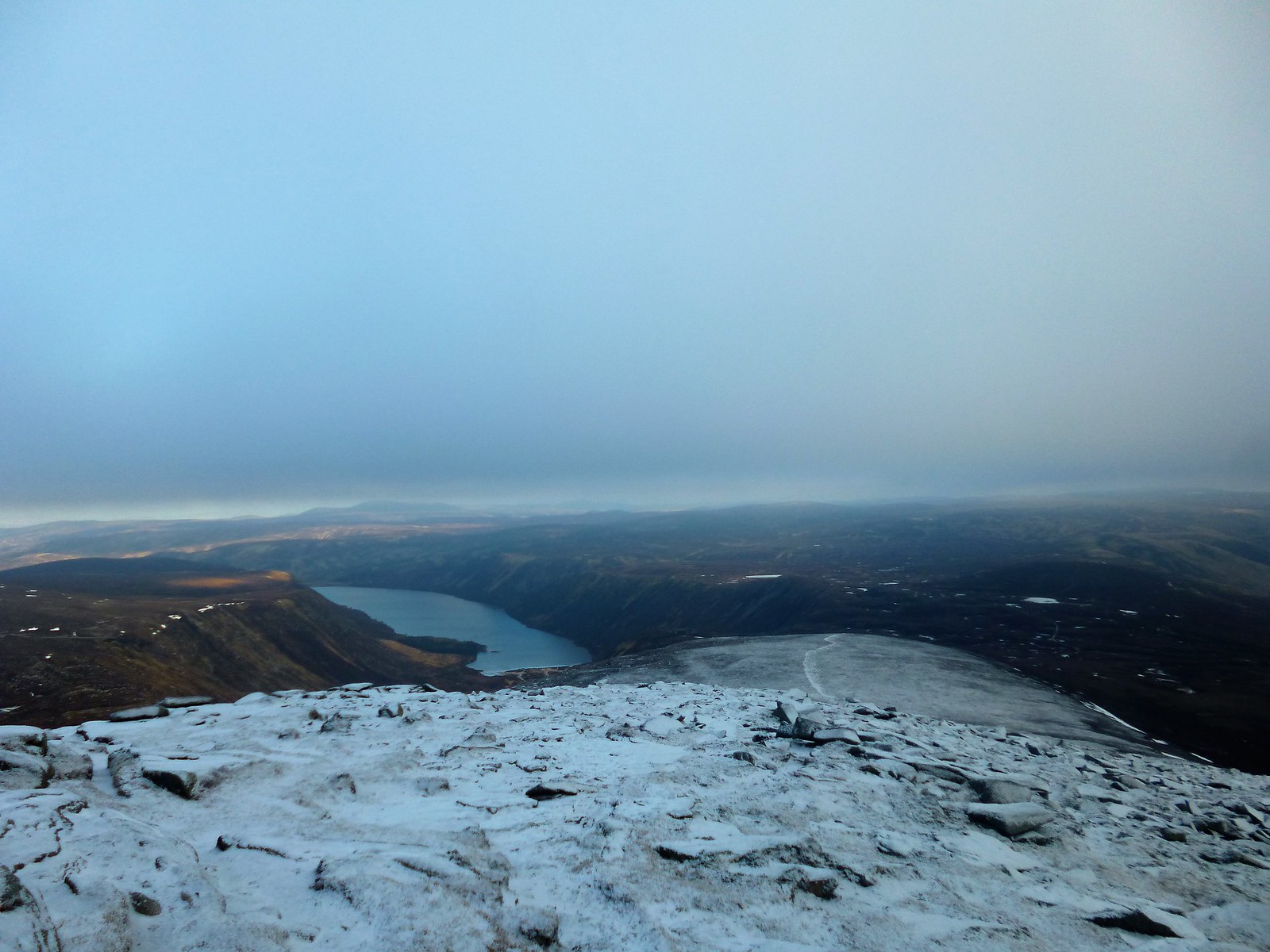
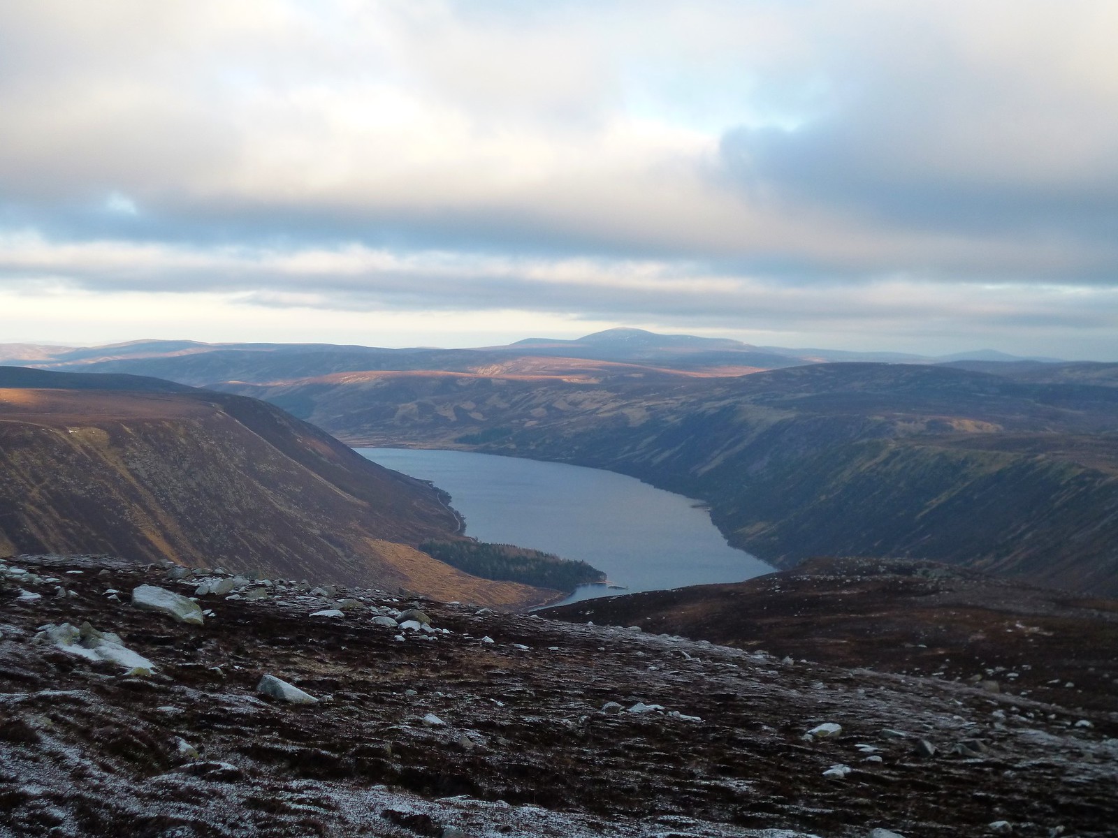 Loch Muick
 by
Ross Thomson, on Flickr
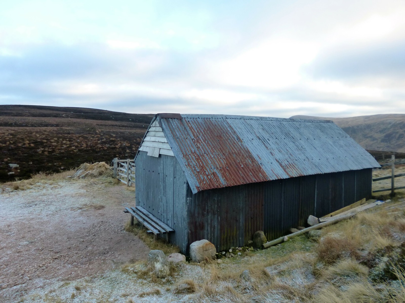 stalker's hut
 by
Ross Thomson, on Flickr
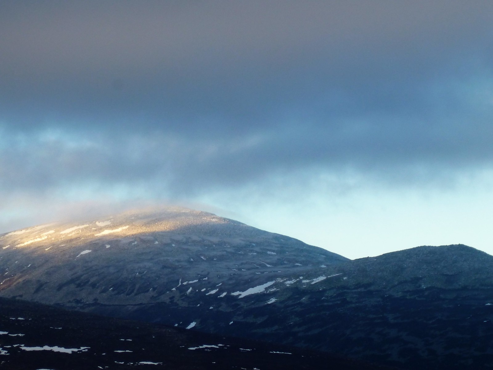 Lochnagar
 by
Ross Thomson, on Flickr
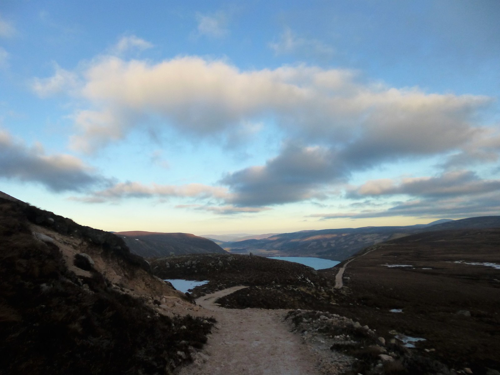 stalker's path
 by
Ross Thomson, on Flickr
 P1030808
 by
Ross Thomson, on Flickr
 P1030809
 by
Ross Thomson, on Flickr
 P1030811
 by
Ross Thomson, on Flickr
 P1030818
 by
Ross Thomson, on Flickr
