free to be able to rate and comment on reports (as well as access 1:25000 mapping).
Autumn has finally arrived and so has the miserable weather. Catching the last moments of sunshine, we traveled down A9 to Newtonmore to write another chapter of my "great adventure" with Scottish mountains. Sunday was rather unsettled so we prepared ourselves to withstand some changing weather conditions (and we were right about it).
I wasn't really sure how much I could cope with climbing after my "Herr Flick" experience on Ciste Dhubh. My knee still hasn't fully recovered and I didn't want to make it worse again, so taking that under consideration, the initial plan was just one summit - A' Chailleach. We agreed that the final decision whether to continue to the second (or even third) mountain will be taken on the top of the first Munro and will depend on the state of my leg.
It turned out that I was actually capable to carry on to Carn Sgulain with little pain at all, but on the second summit and having realized that the third one, Carn Dearg, was still 8 km away, I had to follow the logical choice and call it a day. Still, quoting Meat Loaf, 2 out of 3 ain't bad!
Driving down from Inverness we passed through a nasty cloud with heavy shower and we didn't expect too great a weather and too many hill walkers in Newtonmore. To our surprise, the car park in Glen Banchor was relatively busy when we arrived - and the sun shone!
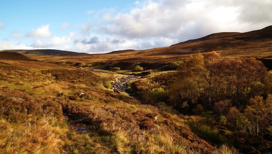
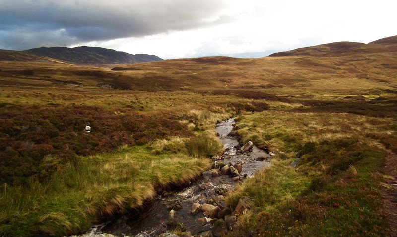
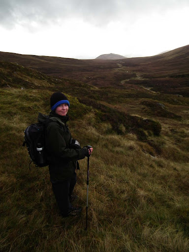
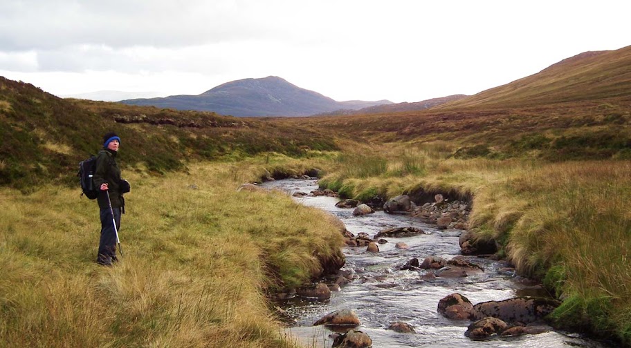
As we began walking up the track along the stream Allt a'Chaorainn, we had some good views towards Glen Banchor and Carn Dearg:
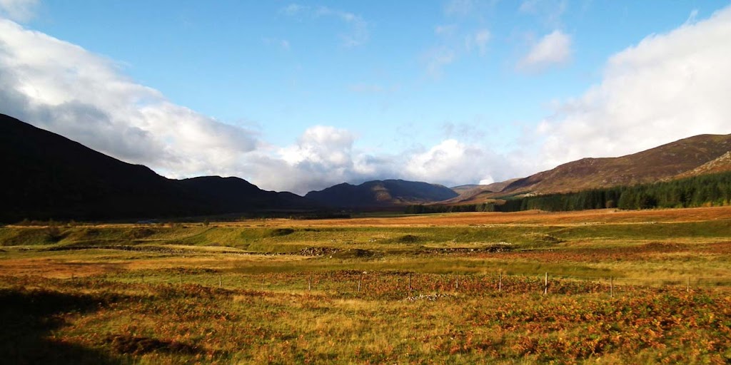
Right behind us, the dark bulk Creag Dhubh, the one that caused my injury:
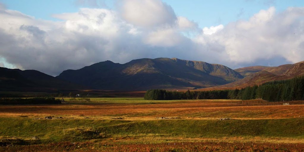
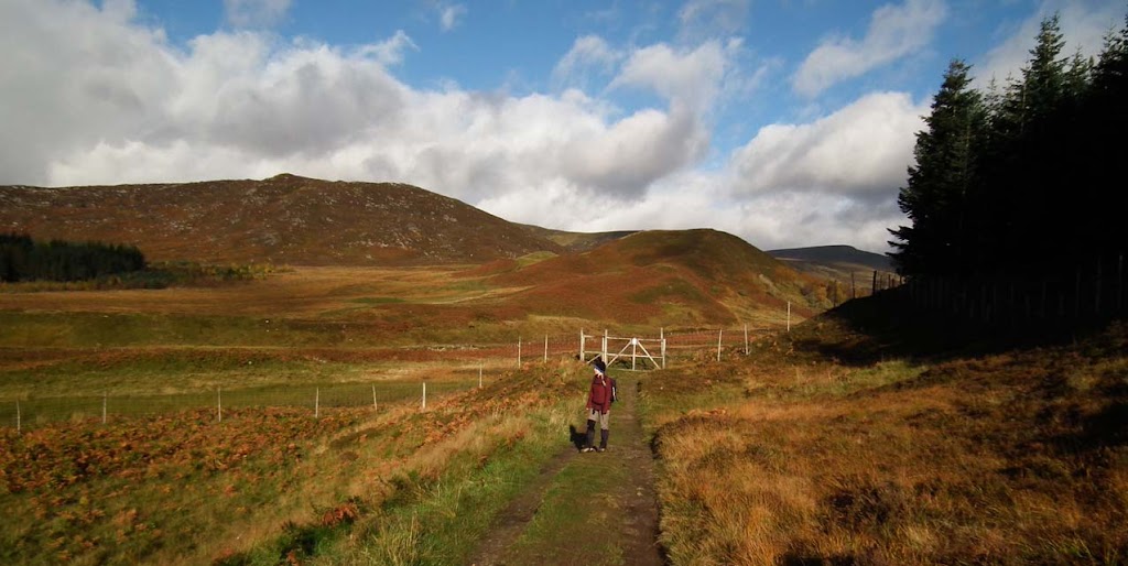
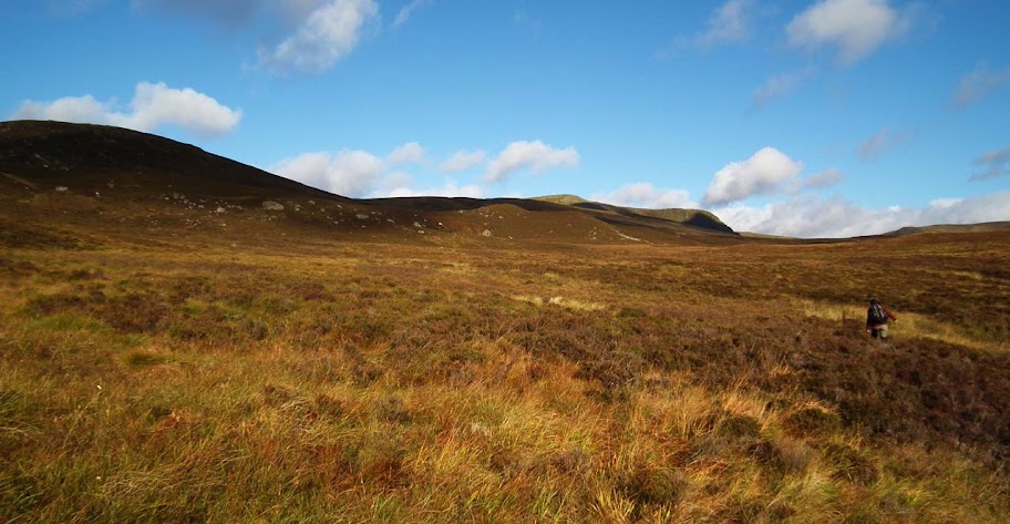
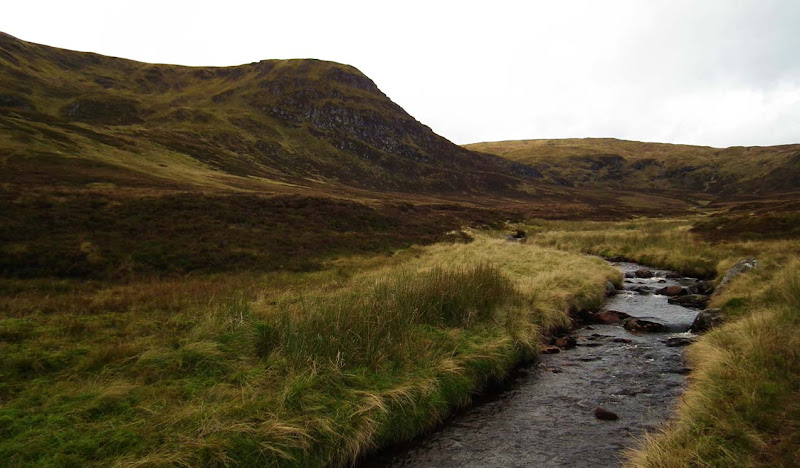
We passed a gate in the fence and continued on the track for about 2 km:
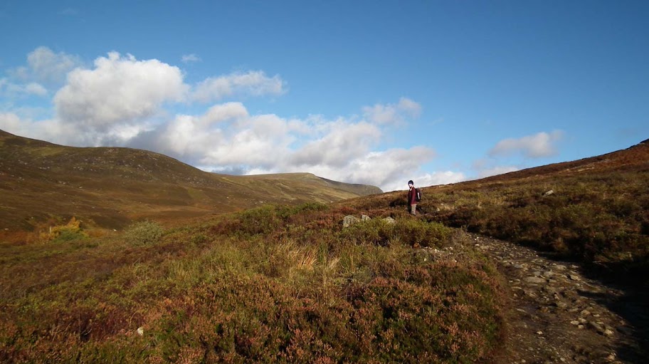
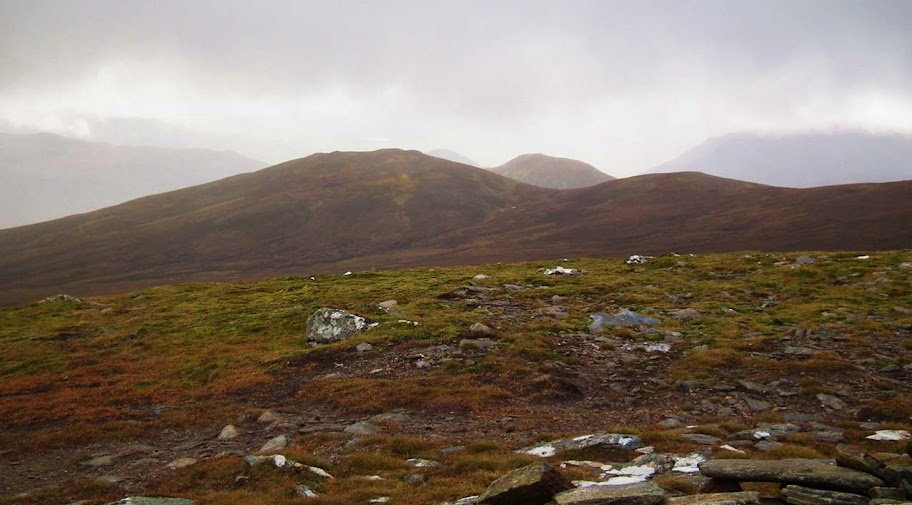
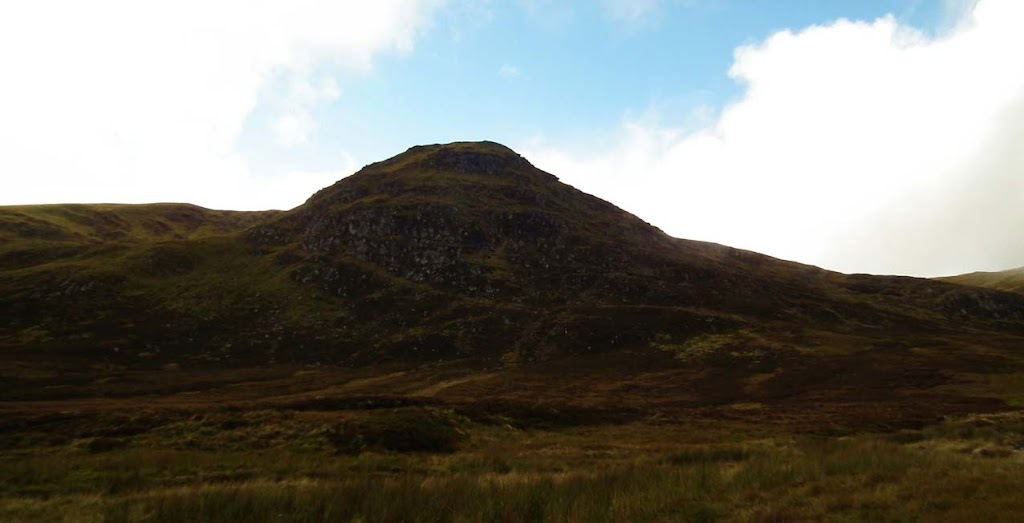
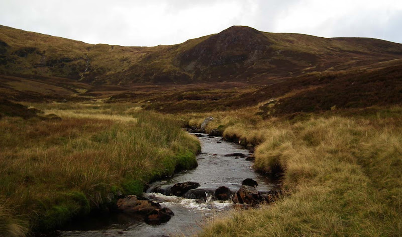
Soon we could see the summit of our first Munro - it looked close enough:
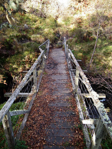
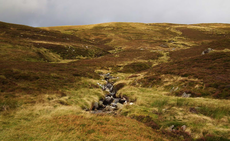
To cross the stream we had to locate an old bridge almost completely hidden from view:
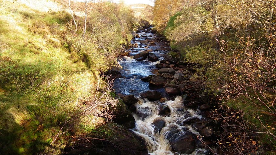
Allt a'Chaorainn from the bridge:
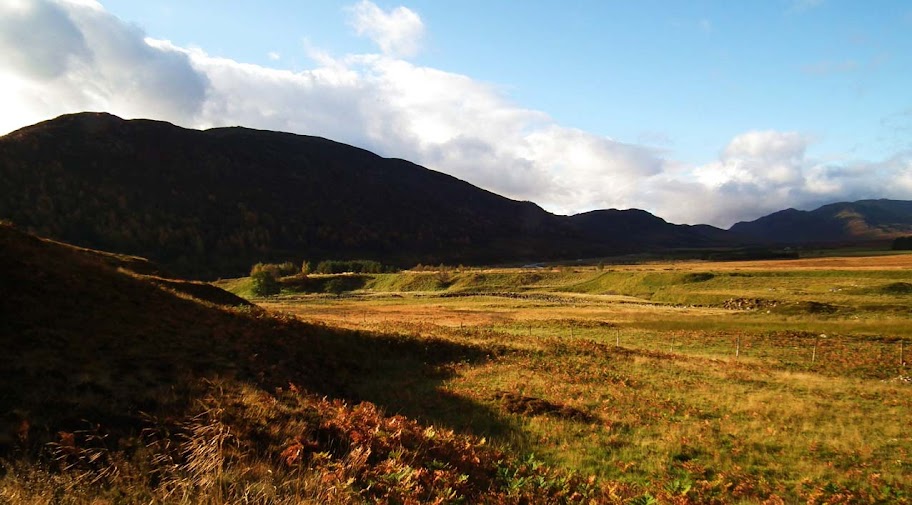
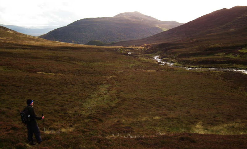
The glen of Allt a'Chaorainn from the lower slopes of A' Chailleach:
As soon as we found ourselves on the other side of the gorge, the bog feast begun! I must admit it was one of the boggiest areas I've ever visited. It had rained the previous day, so the ground was soaked and squelchy, the path was basically a muddy stream (it was easier just to push up the heather):
It may look dry but believe me, don't visit this area without good waterproofs!
We were maybe half way up the shoulder of A' Chailleach, when the weather turned - the nice blue sky vanished, replaced by gray, unfriendly cloud:
A glimpse back with another cloud lingering over the eastern sky:
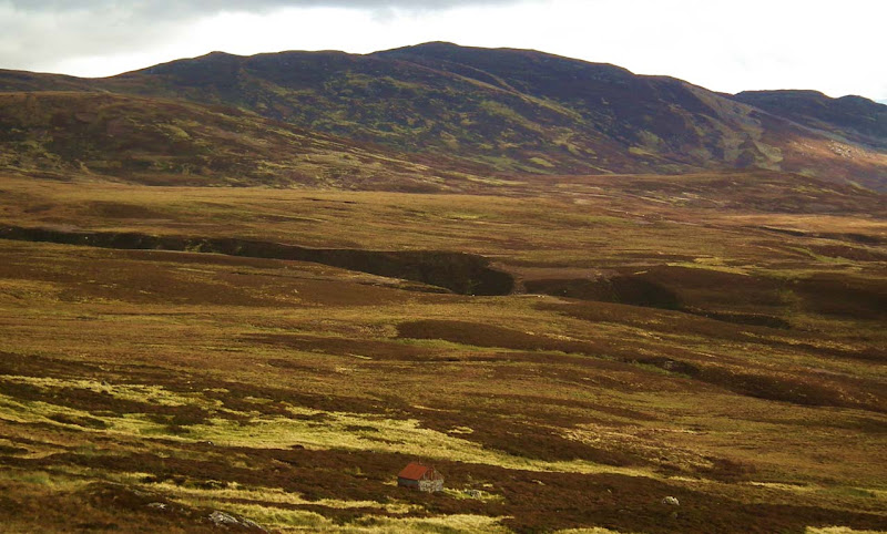
We passed the little stalkers hut...
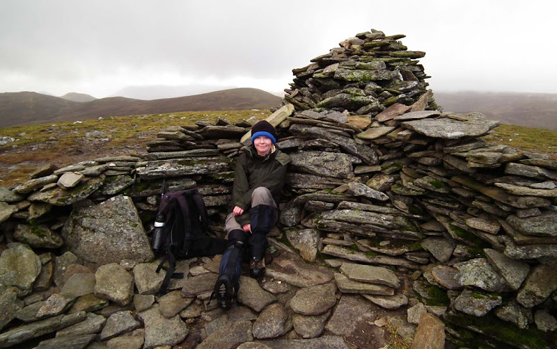
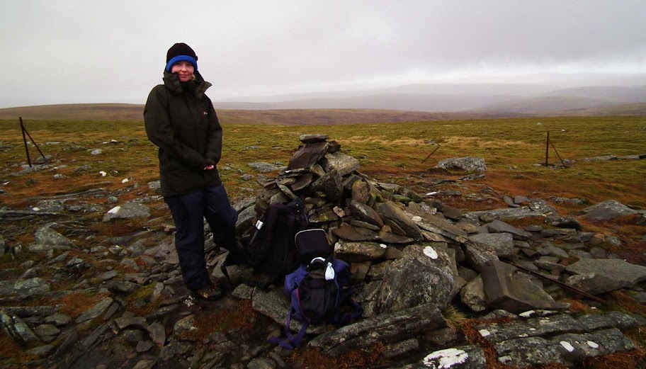
...and continued on the squelchy terrain. As we neared the summit we were welcome by a cold shower - so we had to stop and pull out our waterproof jackets. The final push to the Munro summit was a wet and unpleasant experience - and I was relieved to arrive by the big cairn (or rather a summit shelter, shaped to protect walkers from wind). It was time to take a short break, have a snack and estimate the condition of my knee:
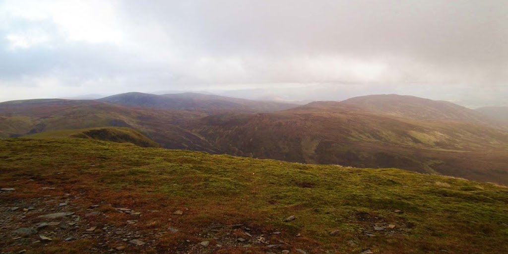
It was a bit disappointing that we didn't get the views from A' Chailleach. The top was below the main bulk of the cloud, but it still obscured the surrounding landscape:
A little rainbow shining through:
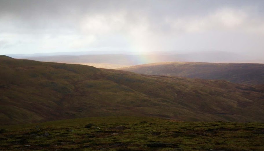
A few sunbeams over Newtonmore:
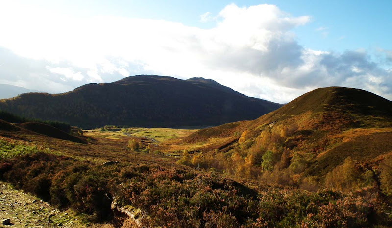
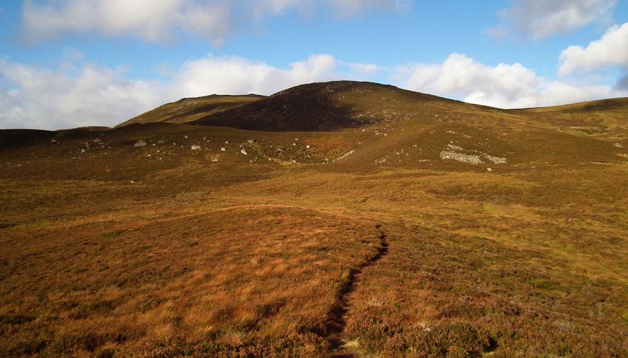
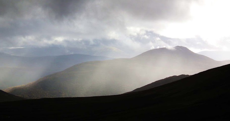
The second Munro just showing up below the cloud:
It was still raining and it didn't look like the weather was going to improve, but as I felt that I could continue walking, we carried on to Carn Sgulain. Crossing the dip between the two hills turned out to be a challenge (especially the descent) - the grassy slope was very slippery

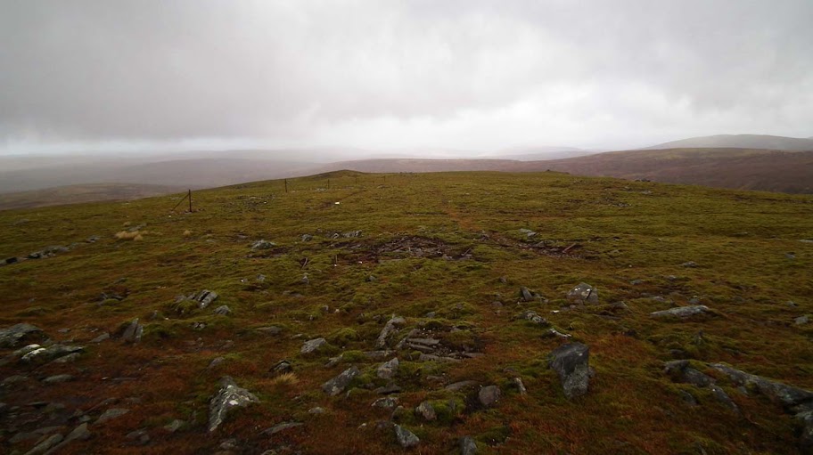
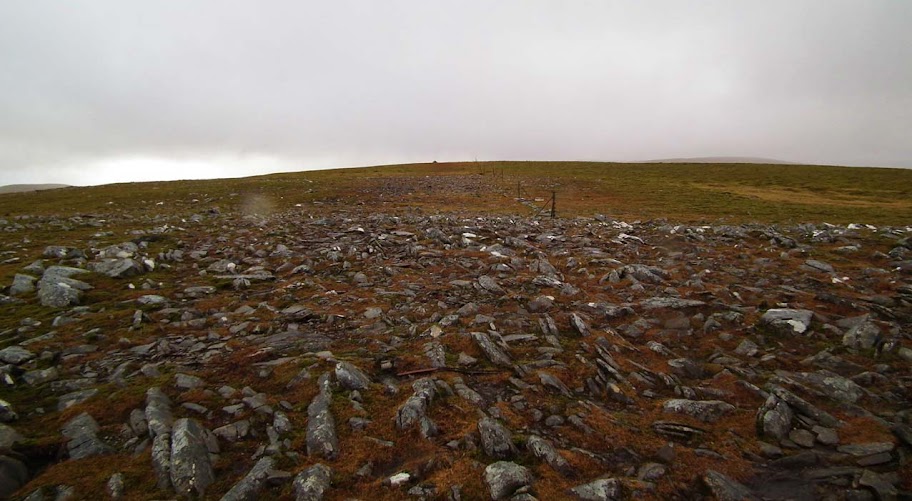
. Up on the ridge of Carn Sgulain we encountered some really nasty peat hags crossed by a whole net of little streams and lochans. It took us some time to actually work our way through them - but what a satisfaction when we finally reached the summit cairn of Carn Sgulain!
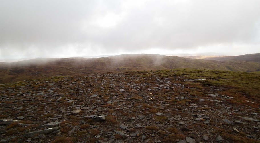
The rain was still all around and views were reduced to almost nothing:
It wasn't a friendly place at all...
We had a quick look at the map and Carn Dearg felt too far away... I would be perfectly capable of doing it in full health (have previously walked long distance and I'm not afraid of 20km+ routes), but because both the weather and my knee were sending us a clear message, we decided to leave the third Monadhliath Munro for another day.
As we descended on wet ground (again, some dancing skills required

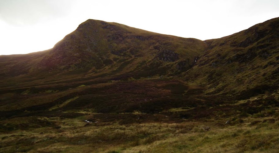
), the rain finally eased off, revealing the steep face of Coire na Caillich:
Soaked but still smiling:
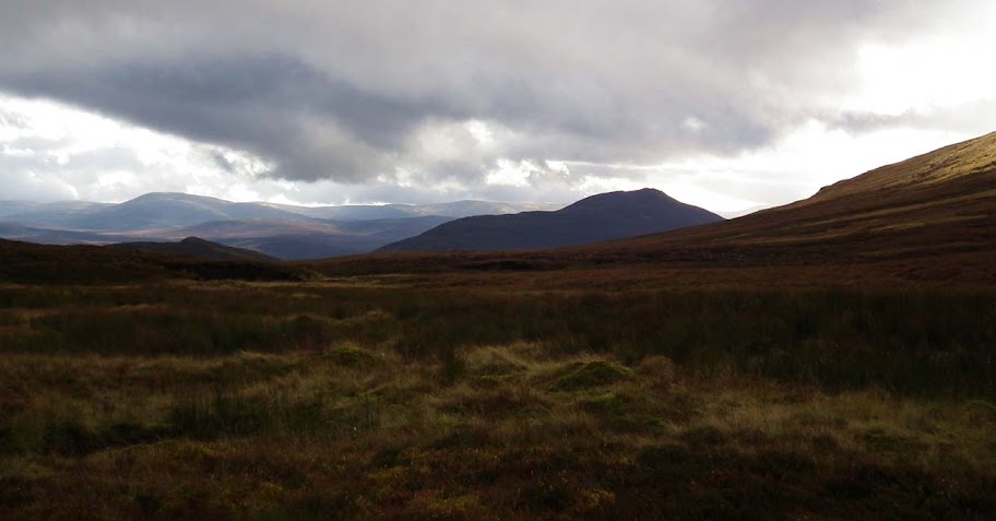
Creag Dhubh on the horizon:
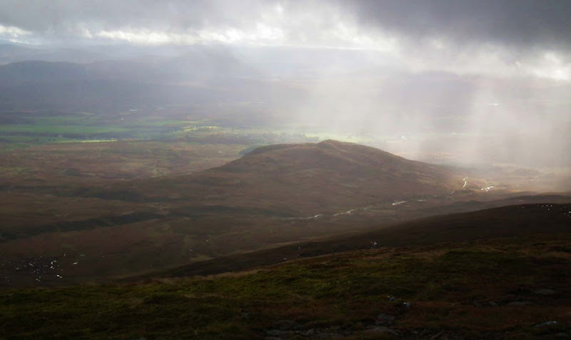
Isn't it annoying when you climb a mountain, you see zilch and as you are back down and look behind you... Surprise!

Another bog feast on the return route:
Walking down along Allt a'Chaorainn, apart from the ground being muddy, presented no physical or navigational challenge. At some point we picked a faint path on the eastern side of the stream.
Looking back to Coire na Caillich:
On the path down to Glen Banchor:
Weather improved significantly when we walked back so we spent the last half an hour hopping over puddles and joking about our bad luck. Maybe it wasn't an epic adventure but we still enjoyed it.
Last year's autumn was relatively good so let's hope we'll get another good one, but... According to recent forecast, cold air and strong winds are coming
Will they be strong enough to prevent me from meowing on Scottish hills, well, that's a whole different matter!
