free to be able to rate and comment on reports (as well as access 1:25000 mapping).
One of the many great things about the Ochils is that anywhere you could conceivably want to go there is a path. Possibly so many people have been there that routes that weren’t routes have become main thoroughfares. However it came about, it’s super helpful and means that you can just wander aimlessly, which was exactly what I fancied on Sunday.
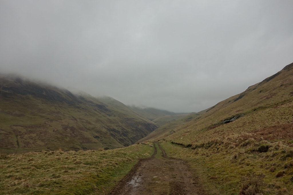
I opted for a late start as the weather was forecast to be wet and claggy until 2pm. And I had a package to collect

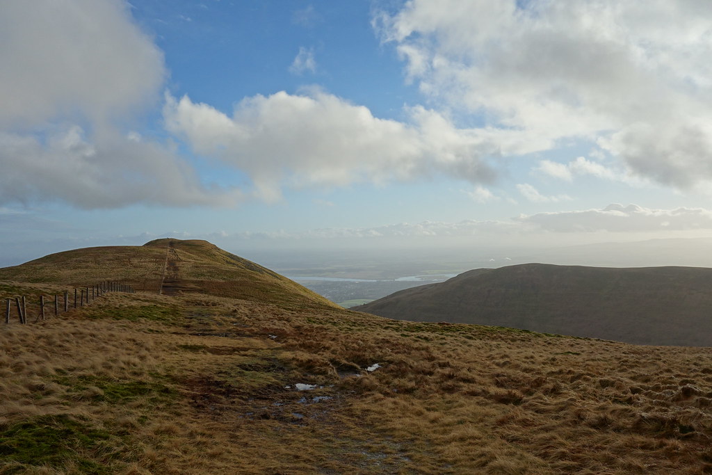
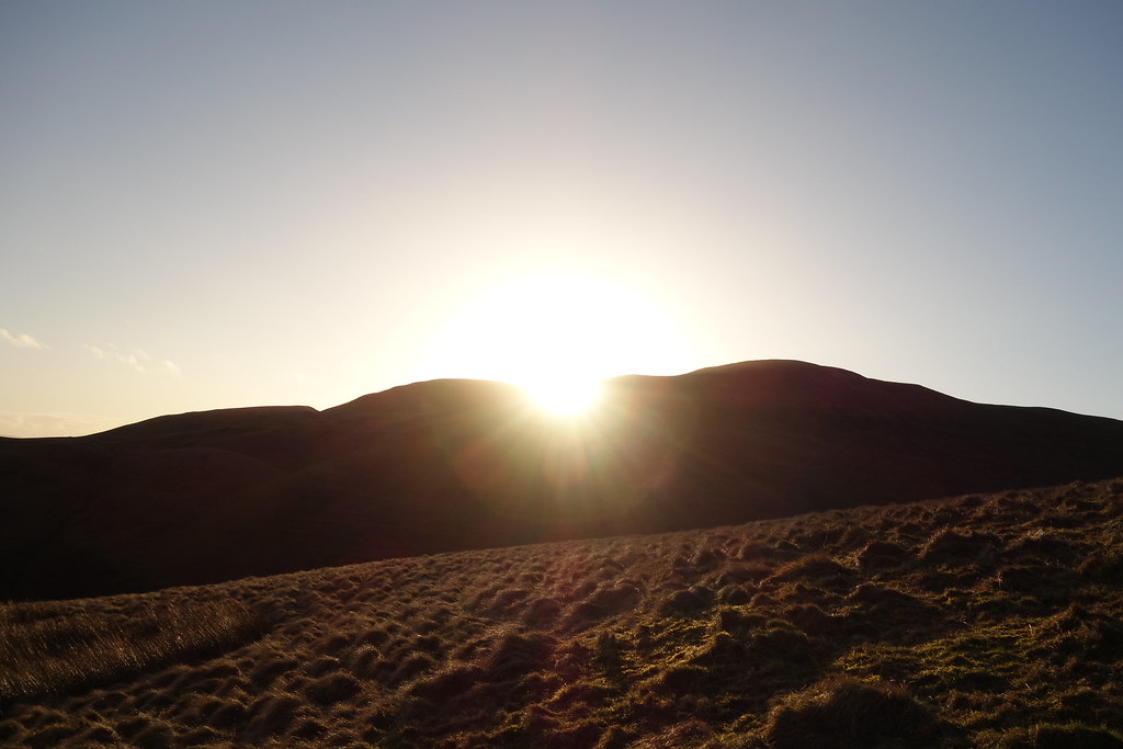
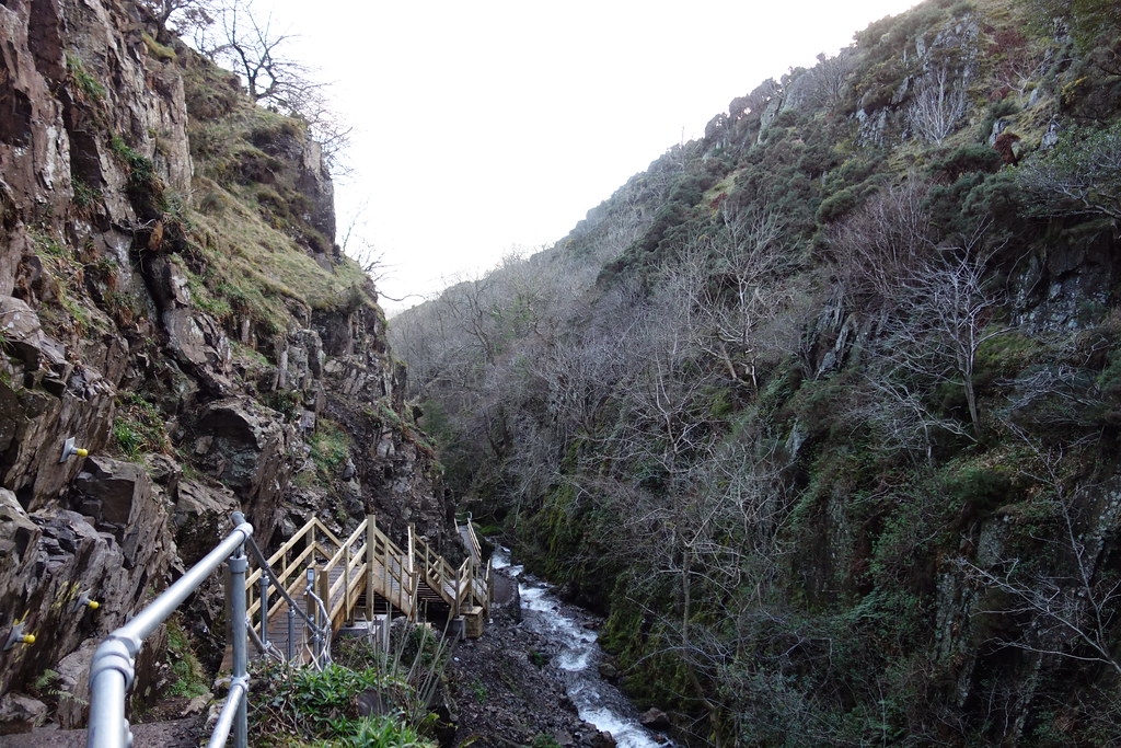
I arrived at Alva glen at 12, couldn’t fit in the car park so found a spot just off the road. Boots on and I was off. I crossed the bridge, followed the maze of paths upwards and soon came out on the hillside.
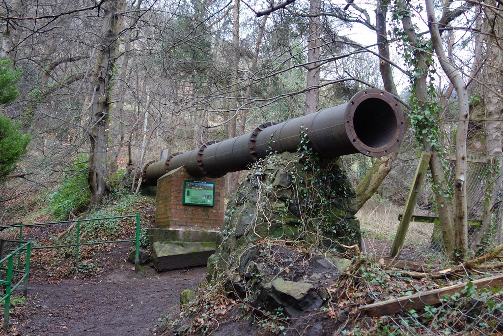
I found a huge pipe

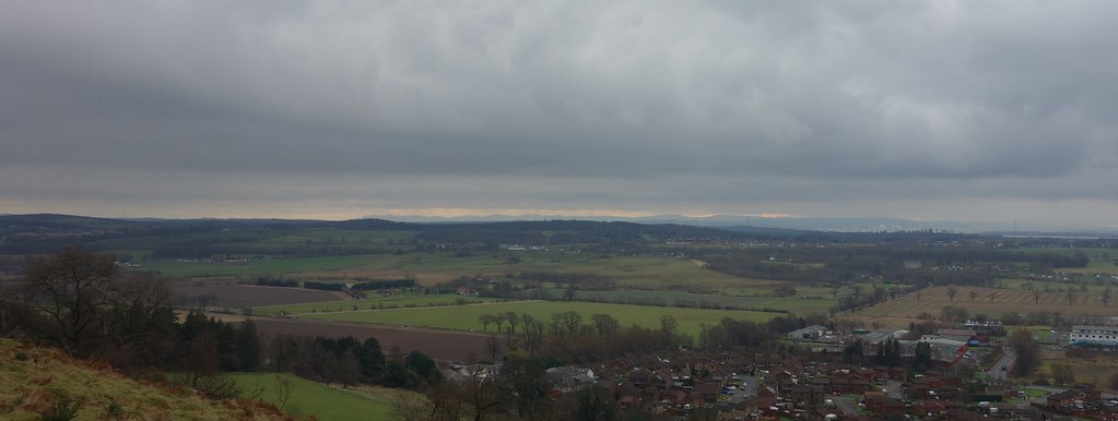
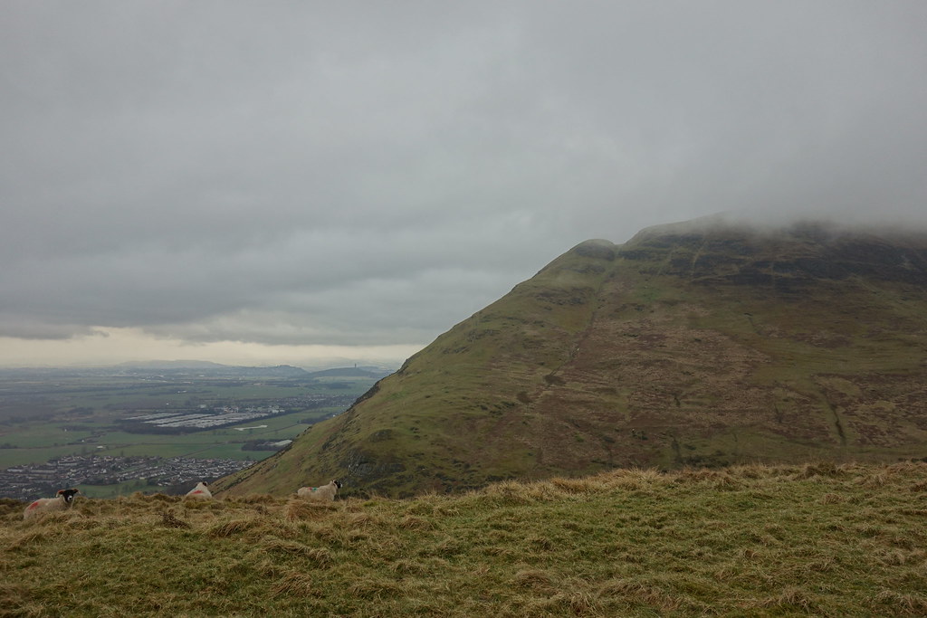
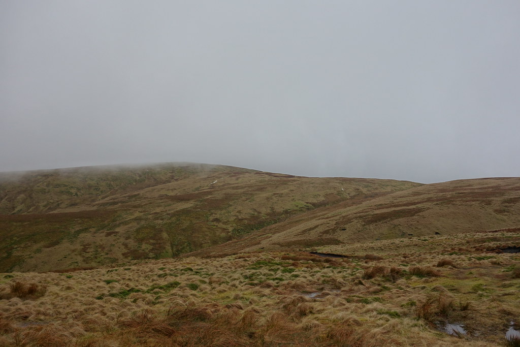
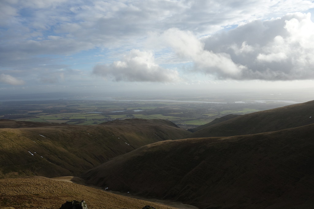
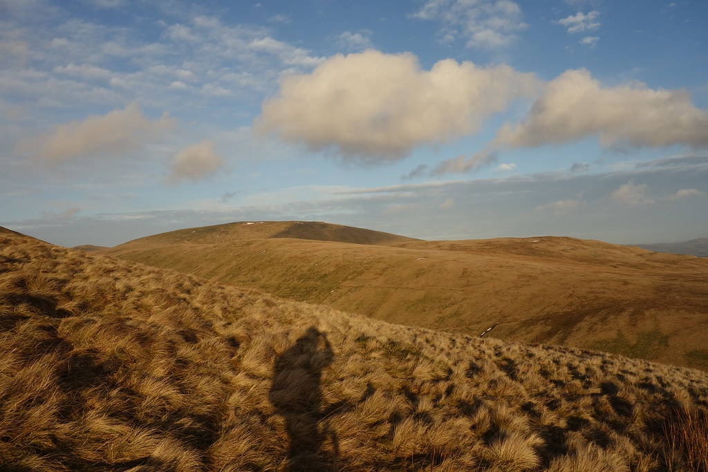
Nice views so far…
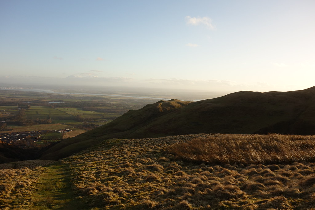
The path came out on a track (which eventually leads up to Ben Ever) and I followed it around a few zig zags before taking a left turn along another track, keeping high above the Alva Glen. Here it started raining and it was time for Goretex.
Big Torry
Further on I encountered a big landslip
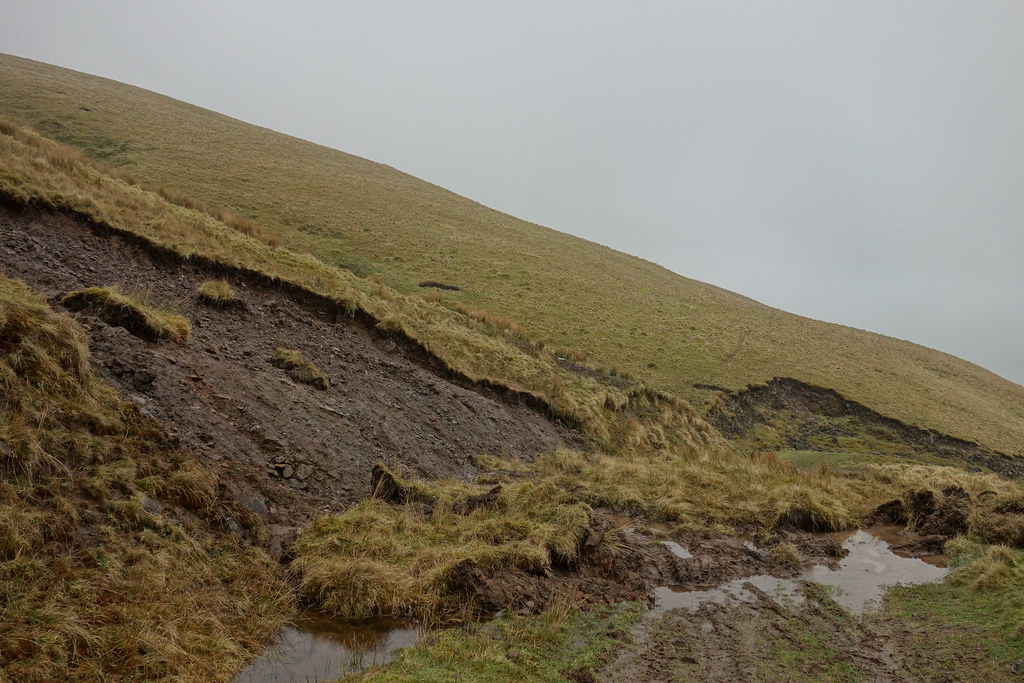
and shortly after met a group of people heading down. It was raining heavily by this point and whichever direction I faced it seemed to be blowing in my face
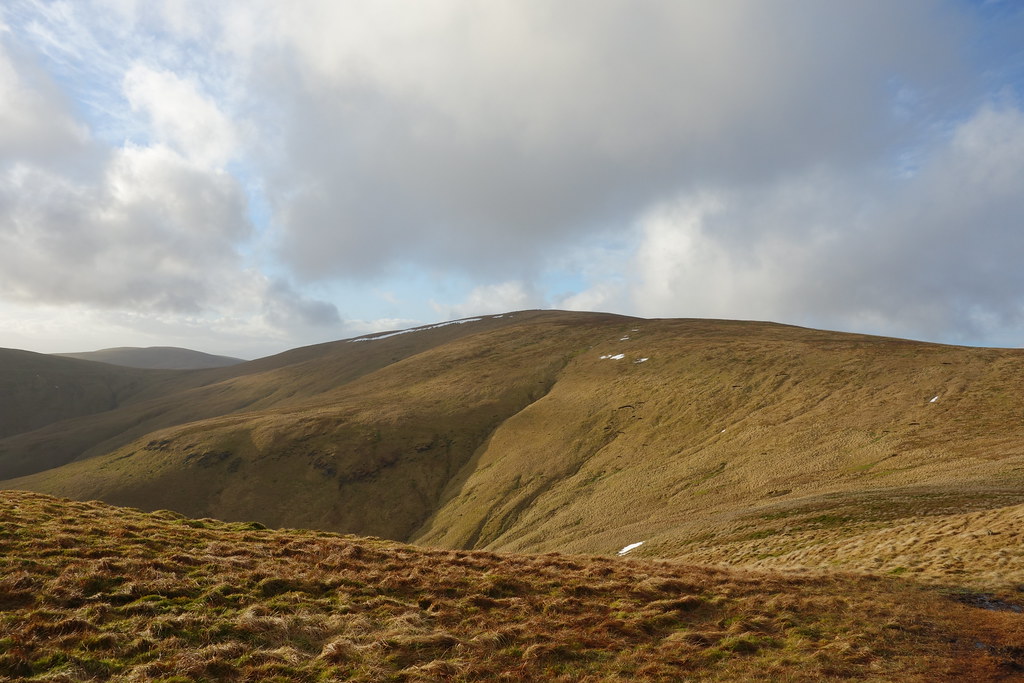
My plan had been to follow the track round and follow the West Cameron Burn up (Weaselmaster's route) but I saw a path heading up “The Cloves” and decided to make it harder as I was in no hurry
I wandered up there, pretty boggy underfoot and I squelched along. I followed the path over the top. I could take a lengthy (but more level) route around the tops or drop down and up again.
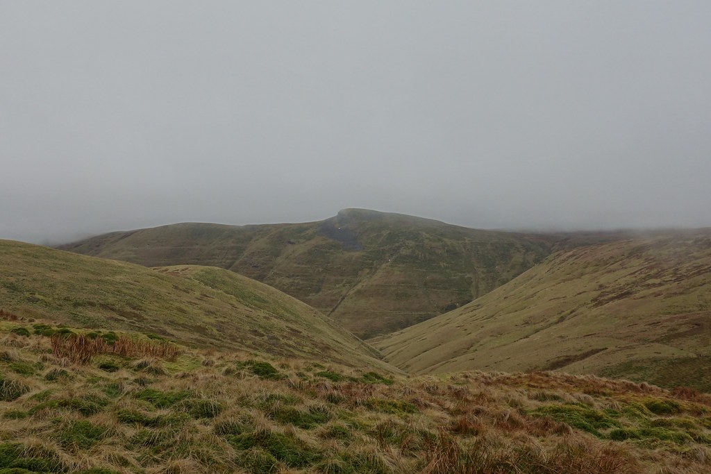
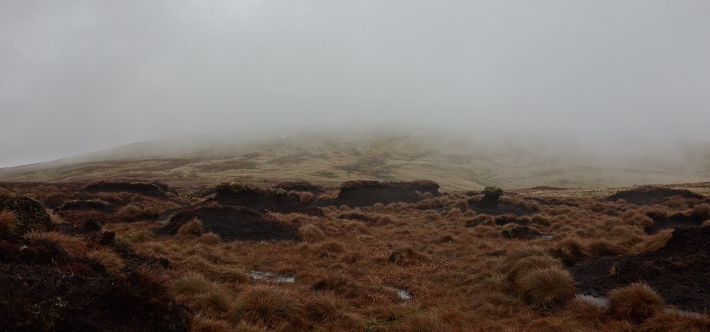
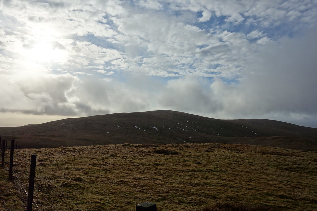
Never one to shy away from a bit of ascent, I dropped steeply down to Birken Glen and back up the other side. I was very briefly out of the clag but straight back into it as I headed up the other side towards Blairdenon Hill. I came to a T junction and turned left heading easily (but boggily) up to the first summit marked by a few stones and then along to the true summit. Not sure where the summit actually is so I visited all options but took the picture by the most interesting feature (as there were nae views!)
Blairdenon Hill summit (ish)

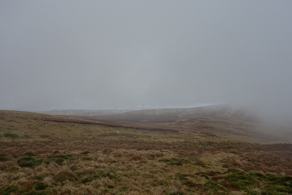
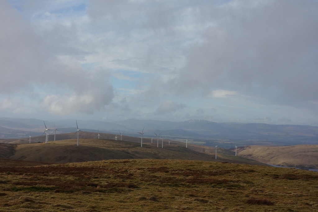
I squidged my way back along and decided to head along in the other direction. As I dropped down there was a brief clag-clearance so I could see some windfarms!
And Bengengie Hill
Back the way I’d come
The path continued over lumps and bumps towards Alva Moss, which it decided to skirt around. Eventually I got bored and decided that some bog and peat hag hopping might be fun… It wasn’t that bad actually (although perhaps yesterday’s Culter Fell bog has numbed me to all other bogs
) and this view reminded me of Assynt – not for the bogginess but the sticking-up-from-flat-ness
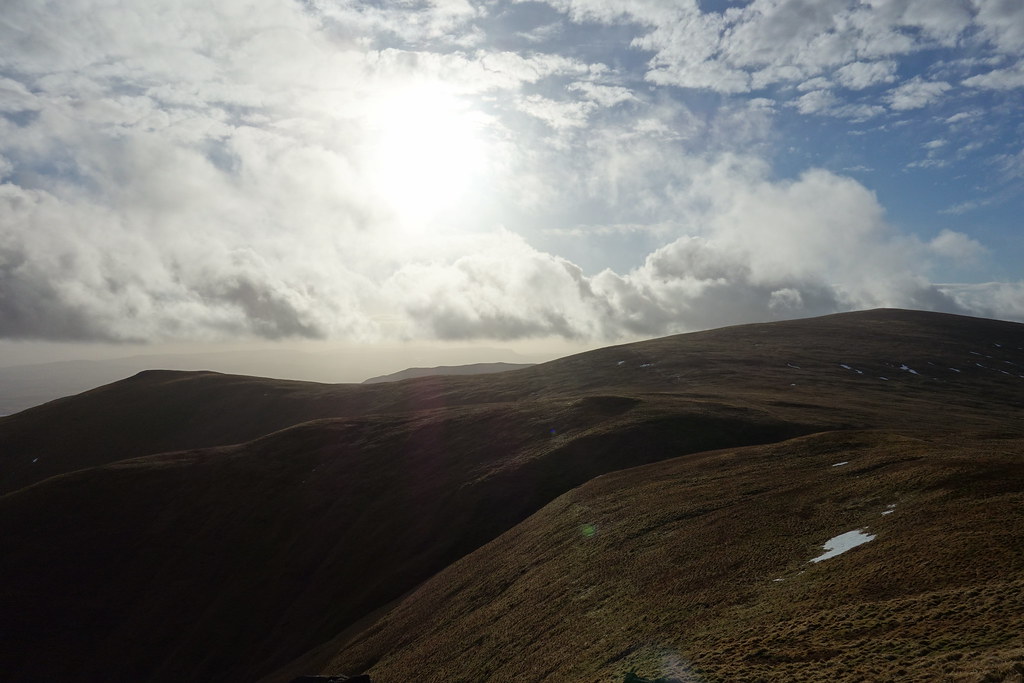
The ridge to Ben Ever
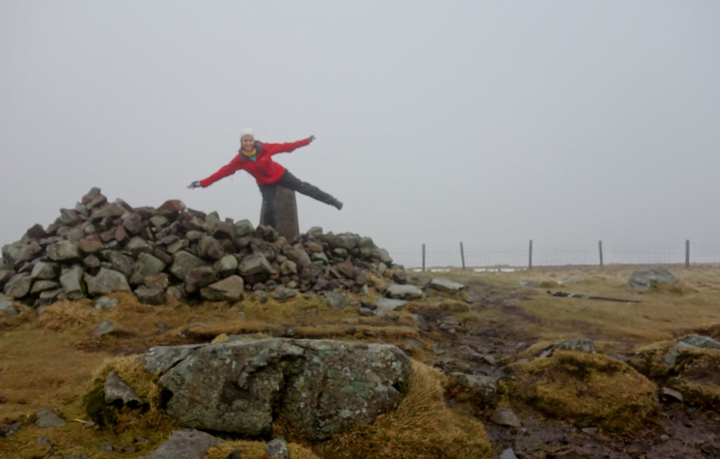
Out the other side of the bogimus maximus I met up with the path again and the top of the track from Alva. From here I followed a muddy path up to the top of Ben Buck. Nae views again…a quick map check showed I was nearly at Ben Cleuch so figured I may as well mosey on up there. I'd been before but that was no reason not to visit again! Fenceposts leading the way, I sheltered behind the trig point.
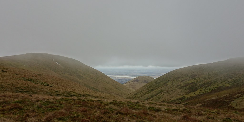
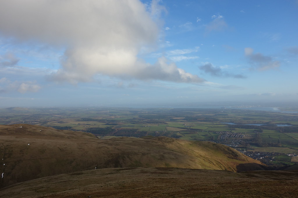
Still nae views and it started raining heavily. Still, time for a sandwich before deciding what to do next – I had thought to head down over The Law and through Mill Glen (last time I’d been up here a year ago it had been closed) then walk back to Alva. However, as I approached the turnoff, the cloud cleared! The sun was out and everything was clear


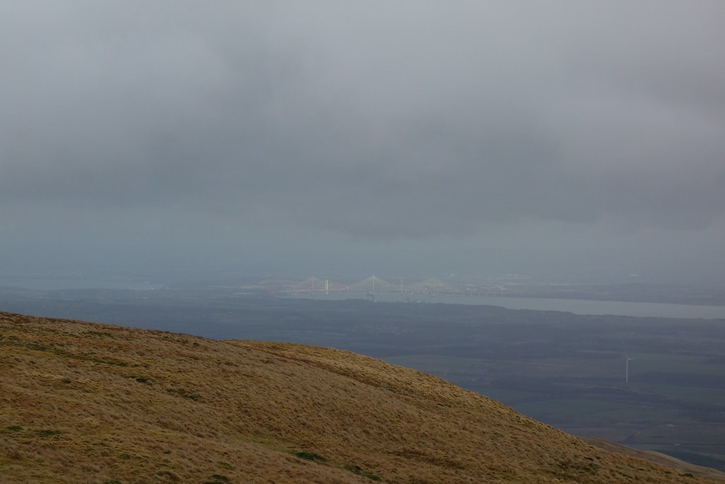
Bridges
Windfarms in the sun
Back to Ben Cleuch
I could see Andrew Gannel Hill ahead and it was clear… deciding it would be nice to stand on top of something and get a view, I headed over. Squishy underfoot but it had suddenly turned into a gorgeous afternoon!
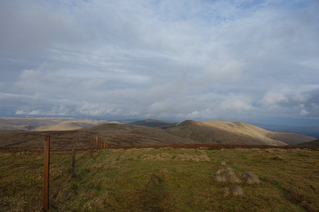
Previous conquests, Tarmangie Hill & Innerdownie
Long way home!
Cleuch and Ever
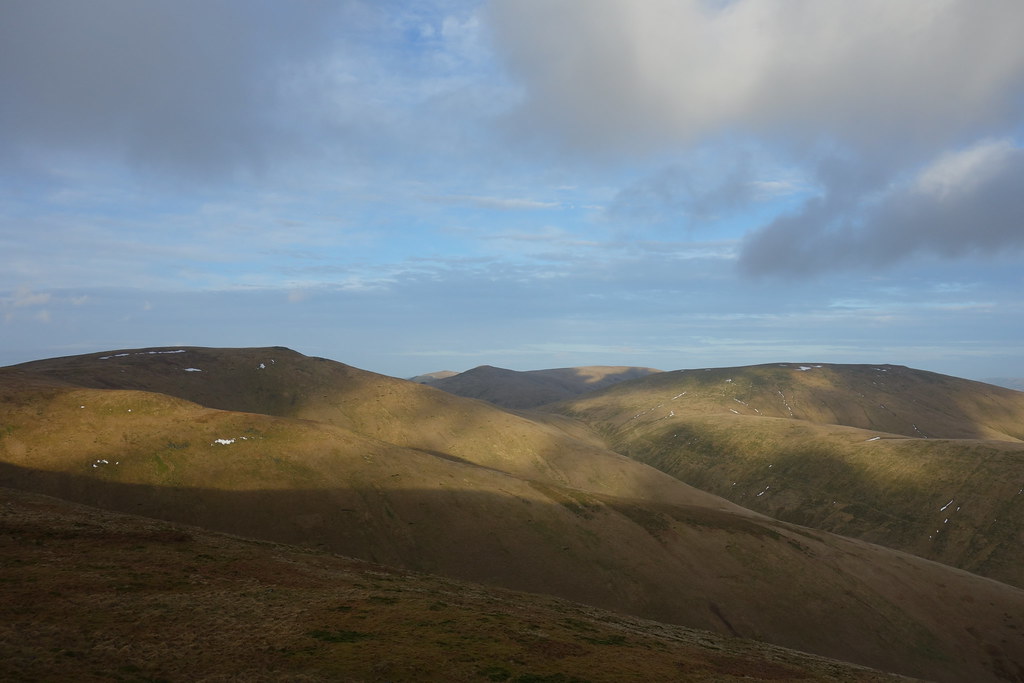
Fun with shadows

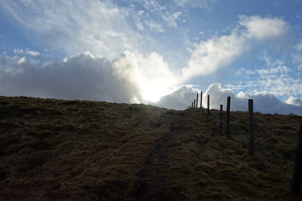
Heading back up
West
I had considered staying up for the sunset but remembered I had a long way back to my car… I took my time heading back and then turned down the path towards The Law.
Another cairn, so may as well jump over a fence to stand on it
Back to Ben Cleuch
Andrew Gannel Hill
Continuing down, it became very steep and I was trying to be careful but was also enjoying the lovely views in all directions!
Fife
Andrew Gannel again
Sun setting
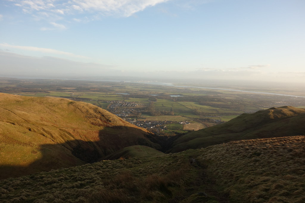
Mill Glen ahead
A big boulder!
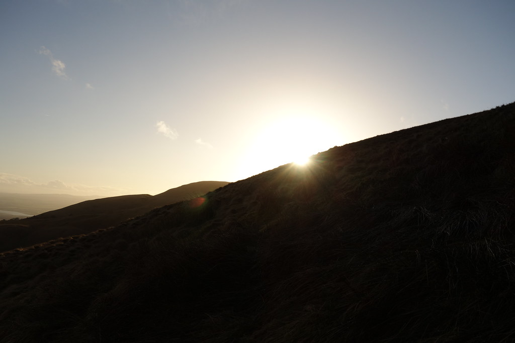
Sun dropping behind Ben Ever
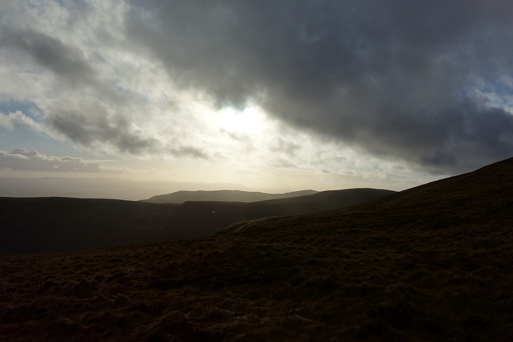
Ahead
The steep descent continued and narrowed towards the end. There were steep drops on either side and I felt more like I was in Torridon for a moment, especially when I had to scramble down a big rocky wall!! From here, it looked a bit Swiss Family Robinson – lots of bridges and steps and wee paths through the glen.
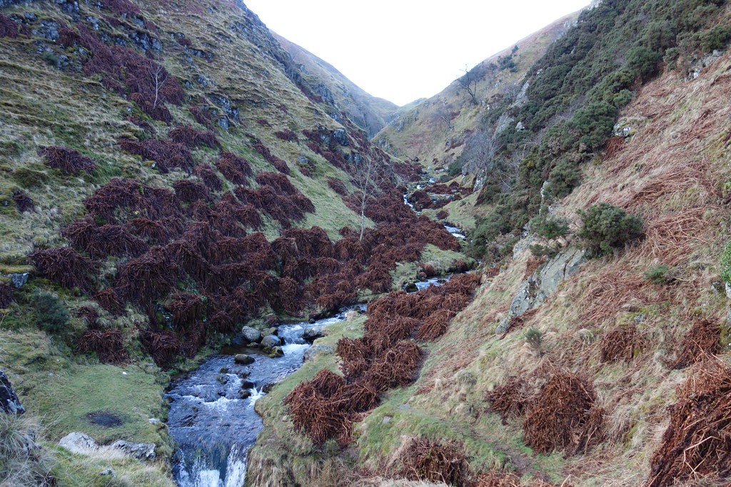
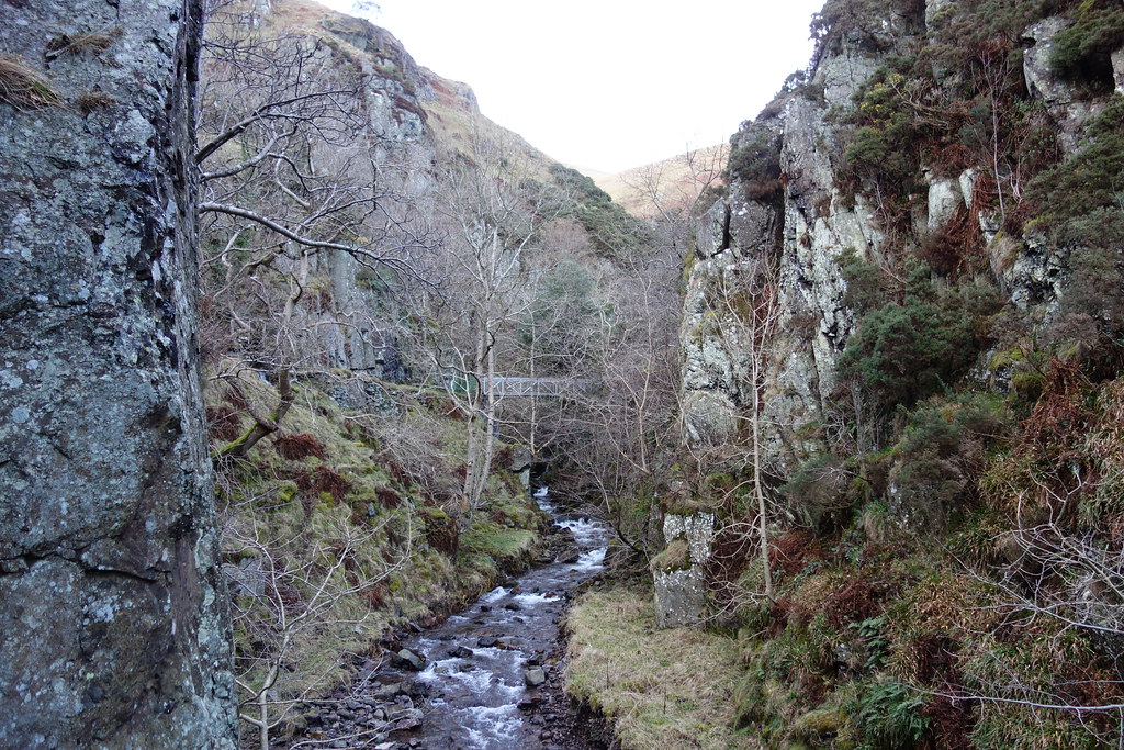
You could see that a lot of netting and supports had been put on the rocks – can only assume the erosion that had caused Mill Glen to be closed last year had also caused rockfalls
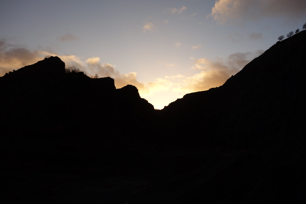
A sunset behind a quarry
Fortunately I made it through unscathed, and made it safely to Tillicoultry. Which would have been great it my car wasn’t 3 miles away in Alva….
I vaguely remembered the route I had taken at the start last time (starting from Tilly) and with the help of the map, a bit of blind luck and following my nose, I made it across some fields and picked up a path in the right direction. It was getting quite dim by now, the sun was setting and the sky was making nice colours.

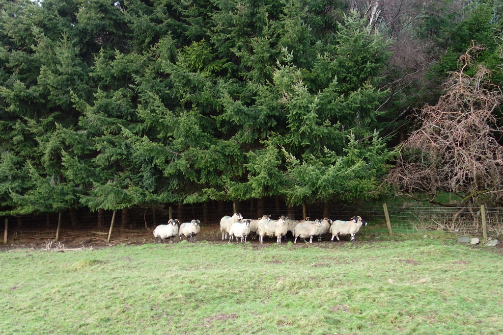
The sheep didn’t know what to think
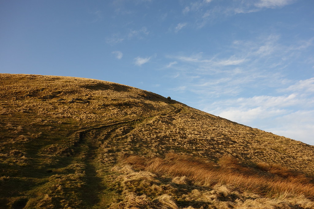
Reaching a playpark there were 2 signs for Alva – an upland and a lowland path. Upland sounded more interesting, so off I went. Big mistake – it was steep uphill
I was getting pretty tired by now and plodded on, coming out on the Ben Ever track and then retracing my steps down.
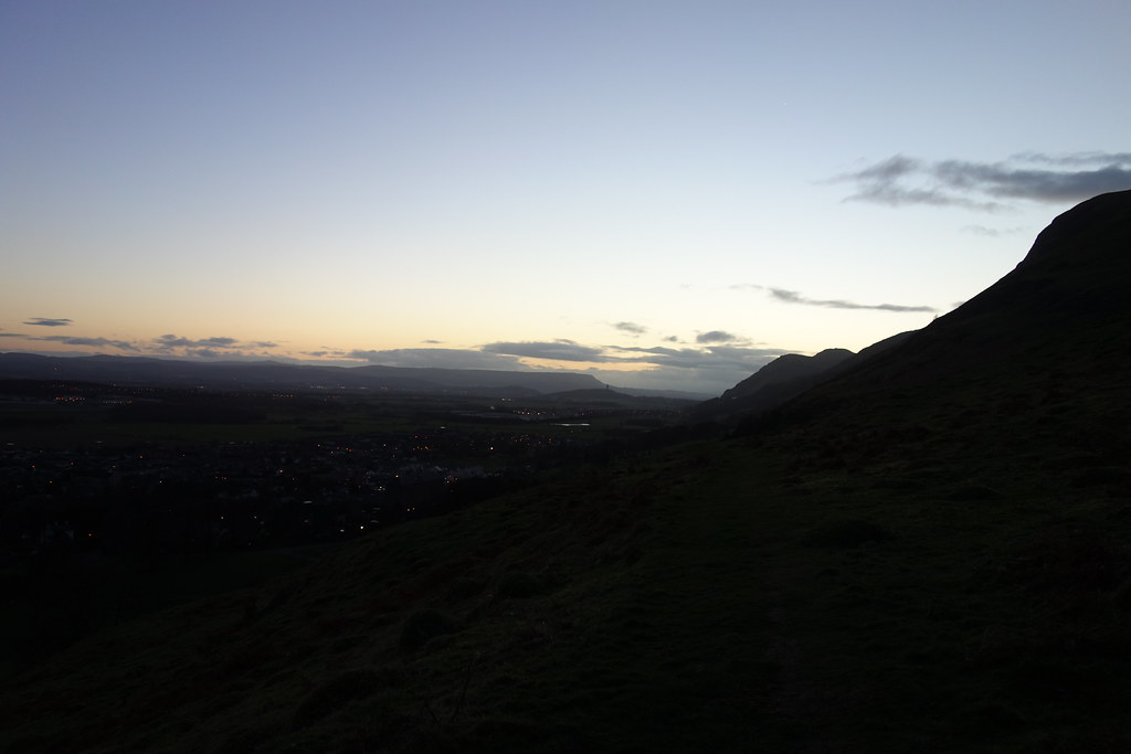
It was interesting to watch “life” happening below – the lights in people’s houses, traffic lights turning from red through to green, the flashing blue lights of emergency vehicles too far away to hear and the birds tweeting in the dusk (lack of) light. I guess normally you come off hills further away from civilisation
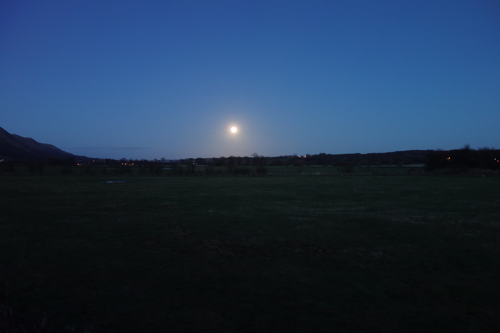
Back at Alva Glen, I managed to pick my way through the dark paths and back to my car. 6.45….almost needed my head torch!!
There was a lovely full moon which I failed to photograph well, but at least it was only a 45 minute drive home