free to be able to rate and comment on reports (as well as access 1:25000 mapping).
And so it had come towards the time of the Quickening, when the end is nearly in sight, the hills remaining can be counted on fingers and toes and the names just about remembered. Eighteen Grahams remained - a five-day break would help us bring that number down. Most of the hills required a bit of a walk, so the lack of snow on the ground was appreciated. Our plan was to drive up to Invermoriston on Thursday after work to Inver Coille campsite, climb the nearby pair of Carn Mhic an Toisich & Meall a'Chrathaich on Friday then continue up the north east from Inverness, picking off Meall Mor, Beinn Tharsuinn and Carn a'Choin Deirg and heading back down the road on the Tuesday. The weather forecast had looked quite promising for the area we were visiting for a change.
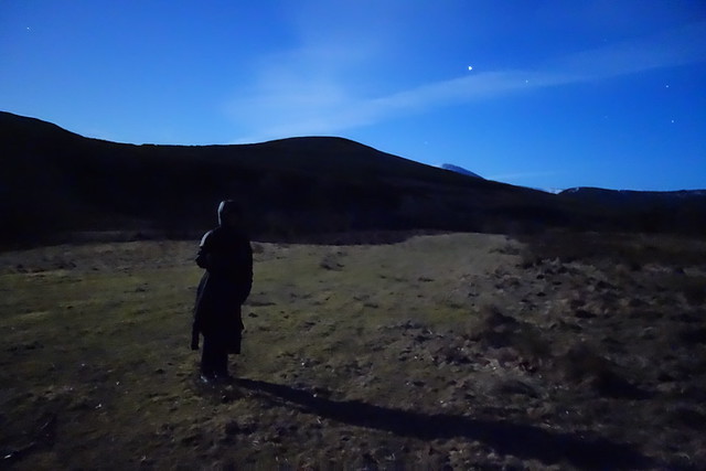
Surprisingly quiet roads got us up to Invermoriston in just over 3 hours - an unexpected bonus. Hadn't used this campsite before - it backs onto the Great Glen Way, where I suppose most of its custom comes from. We pitched in the dark between two space-age pods, whilst the shadowy forms of other cabins and structures hovered in the edge of vision. We'd have to wait for morning to see more. A nearby waterfall provided some soothing sounds although sleep was hard to come by after the driving.
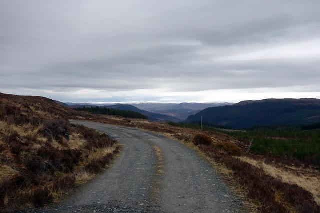
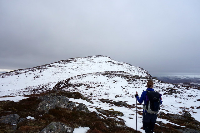
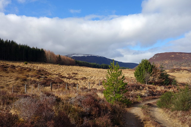
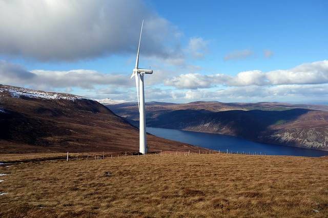
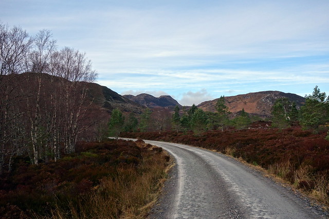
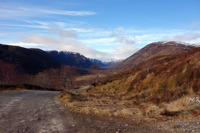
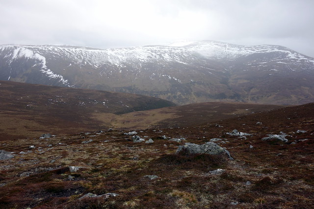
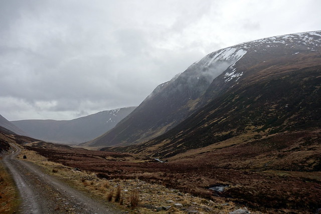
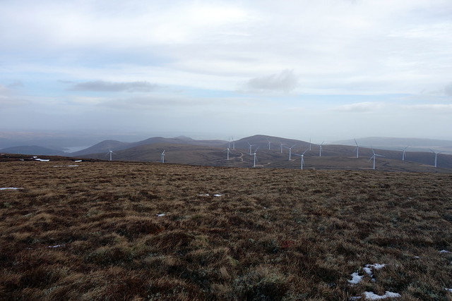
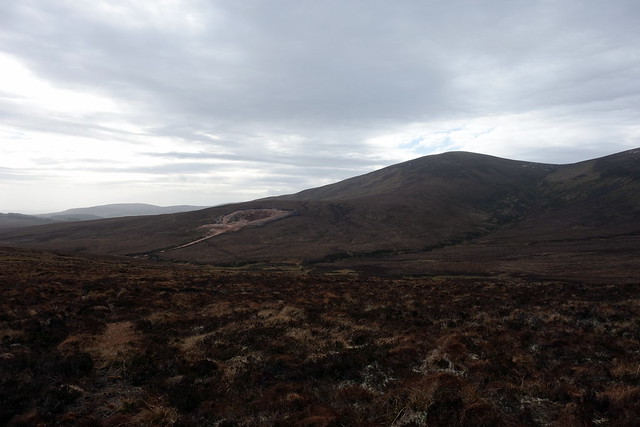
Friday brought us dryness if gray skies and we set off the few miles along the A887 to Bhlairiadh, just past an enormous wind farm construction site. Parked on the verge just after the bridge/crash barrier and set off up the minor road to Bhlairidh, passing an impressive moss garden. We continued onto track which wove uphill gently through birchwoods then opened out onto a motorway sized construction track. After a time we cut off to the left, making for Loch Liath, home to a Hydro scheme. Our first hill, Carn Mhic an Toisich (MacIntosh's Hill) lay to our left, patchily snow covered. To our right the second hill, Meall a'Chrathaich (Hill of Quaking) had been brutally assaulted by the wind farm machines, with a new track ripped up almost to the summit and turbines galore.
Wind farm track...
 DSC02767
 by
Al, on Flickr
 DSC02769
 by
Al, on Flickr
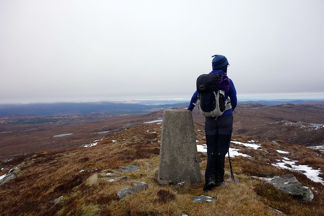
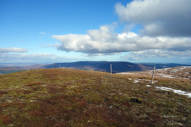
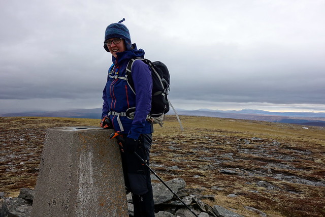
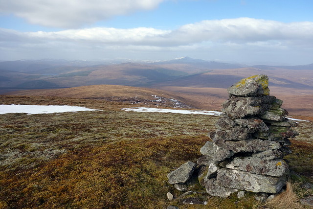
Carn Mhic an Toisich
 DSC02774
 by
Al, on Flickr
We left the track at the dam and stepped onto boggy tussocks with the occasonal peat hag thrown in - nothing too unpleasant. Crossed over Carn na Caorach and dipped down before climbing easily to the broad back of the hill. Views north to the Affric and Strathfarrar hills were sadly curtailed by low cloud. We jogged back to the dam, myself a little faster than Allison.
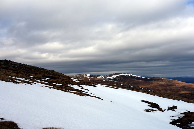
Meall a'Chrathaith in distance with wind farm road
 DSC02775
 by
Al, on Flickr
Approaching summit Toisich
 DSC02777
 by
Al, on Flickr
View north
 DSC02779
 by
Al, on Flickr
Continuing on track we walked almost to the dam on Loch ma Stac before crossing boggy ground to the right and aiming for the 632m top south of a'Chrathaich. We were accompanied by the grind and thump of bulldozers and diggers on the track ahead. The ground had been brutalised by diggers and other caterpillar tracked vehicles which had added to the general sogginess. Undeterred we made it to higher and drier ground. There's another dip before reaching the summit of a'Chrathaich itself - with a more challenging system of peat hags in place. Originally I'd planned to continue on to Meall nan Oighreagan and Carn Tarsuinn, but neither of us felt the drive to bag a couple more Simms amid the disheartening mess of the wind farm construction and decided to track back the way we'd come, using the wind farm track initially. No-one was around by this time (around 3pm) - obviously early finish Friday. Back to the campsite for some well deserved grub.
Loch a'Chrathaith
 DSC02782
 by
Al, on Flickr
Heading for top of a'Chrathaith
 DSC02784
 by
Al, on Flickr
 DSC02785
 by
Al, on Flickr
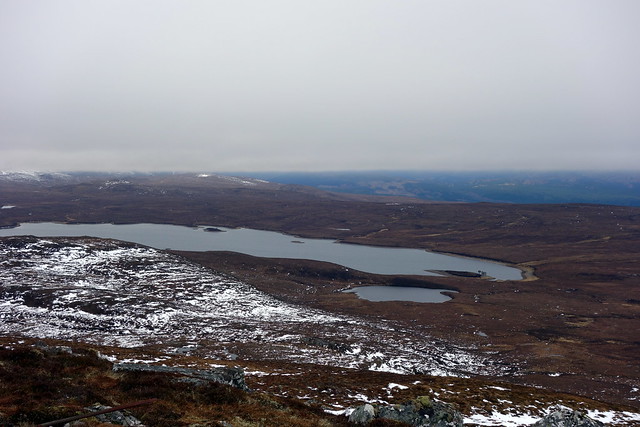
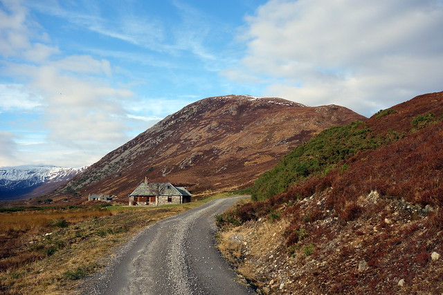
Loch ma Stac with building
 DSC02786
 by
Al, on Flickr
 DSC02788
 by
Al, on Flickr
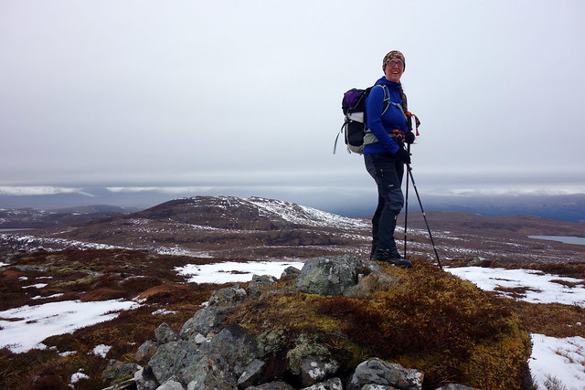
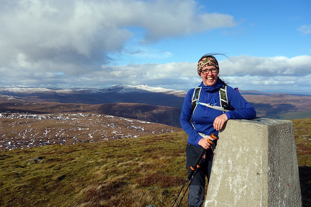
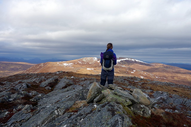
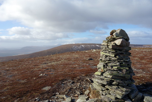
A Graham bagger's lot...
 DSC02789
 by
Al, on Flickr
 DSC02791
 by
Al, on Flickr
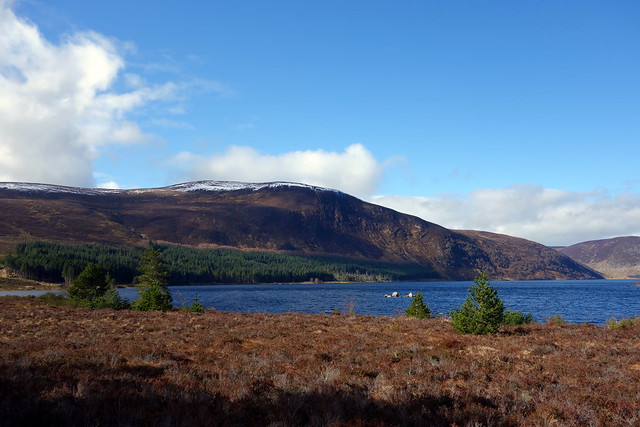
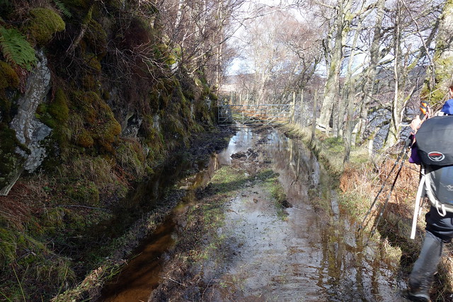
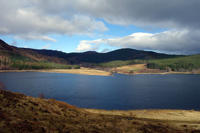
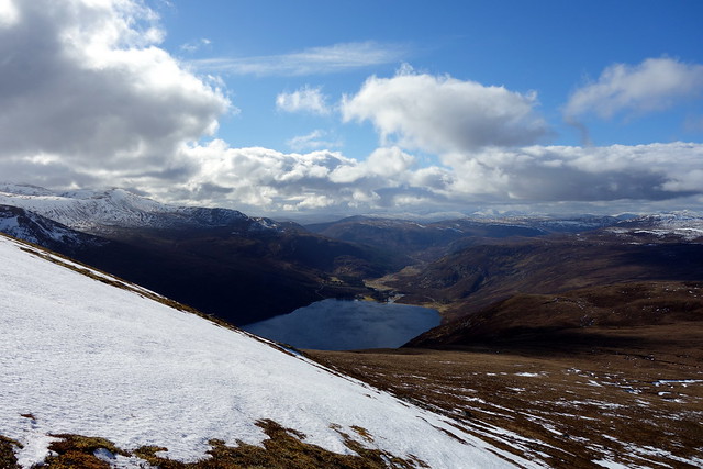
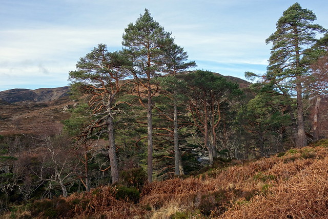
Leaving the campsite around 8.30 we drove up past Inverness to Ballavoulen where we parked across from the farm. Walking through ravaged forestry initially, we joined track running along the River Averon to Loch Morie - much more agreeable with Scots pines glowing in the morning sunshine. We passed some fishing beats and turned along the southern shore of the loch before we reached the boat house. The track becomes indistinct then disappears for a time in the dense undergrowth - better to take the parallel track running through the forest (we used this on our return). The loch looked lovely, our mountain visible ahead with a thin cap of snow. Every pool and stream alongside the track was alive with frogs- croaking, hopping and spawning in orgiastic many-limbed balls. Some would vault away as you passed by whilst others stood stock still, meaning care was needed with foot placement. initially, the lochside track has a good surface but it becomes narrower and rougher - and much much wetter as you continue. We met a couple who had turned back saying the track became submerged a few hundred yards further on. Obviously not seasoned Graham baggers as one of the qualities you develop early on is webbed feet and gills from the bogs and other wet places encountered. Needless to say we continued on. It did indeed get wetter underfoot, but manageable. We paused for lunch towards the north end of the loch, looking over at the large mass of Kildermorie Lodge.
Meall Mor
 DSC02794
 by
Al, on Flickr
 DSC02796
 by
Al, on Flickr
Meall Mor across Loch Morie
 DSC02797
 by
Al, on Flickr
Soggy underfoot
 DSC02799
 by
Al, on Flickr
North end of Morie, towards Kildermorie Lodge
 DSC02800
 by
Al, on Flickr
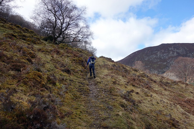
From here we took a (little used by the look of it) stalkers path that zigzags initially then curves around the northern flank of Meall Beag. Through a gate then up onto the back of Meall Beag, with views to Wyvis next door - an immense lump of a mountain when seen side on. We dropped to the bealach and ascended the 100m or so to the summit of Meall Mor and its trig point. Loch Glass was like a sheet of glass, to the north was the familiar saddlebacked outline of Carn Chunneag. We progressed south-east towards the wind farm colonising the southern end of our hill, dropping down an access track after the first couple of turbines. We had to cut through the stumpy remains of a felled plantation to reach the lochside track, then a rapid return to the car.
Stalkers track up Meall Beag
 DSC02801
 by
Al, on Flickr
Towards summit of Beag, Wyvis behind
 DSC02803
 by
Al, on Flickr
Meall Mor
 DSC02805
 by
Al, on Flickr
Wyvis
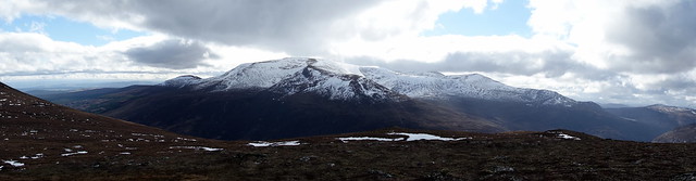 DSC02806
 by
Al, on Flickr
Loch Glass
 DSC02807
 by
Al, on Flickr
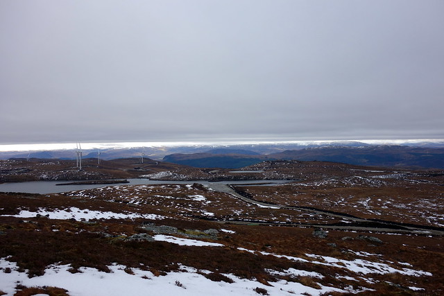
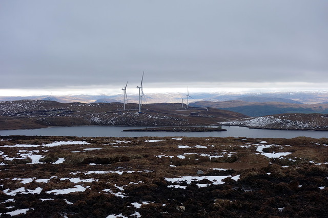
Wind farm from Mor summit
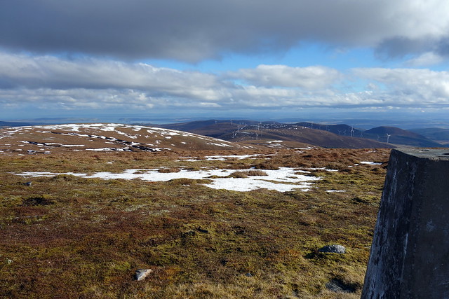 DSC02808
 by
Al, on Flickr
 DSC02809
 by
Al, on Flickr
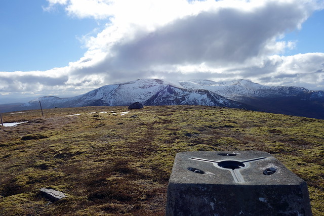
Beinn Tharsuinn to the north
 DSC02810
 by
Al, on Flickr
Carn Chunneag in the distance
 DSC02811
 by
Al, on Flickr
 DSC02812
 by
Al, on Flickr
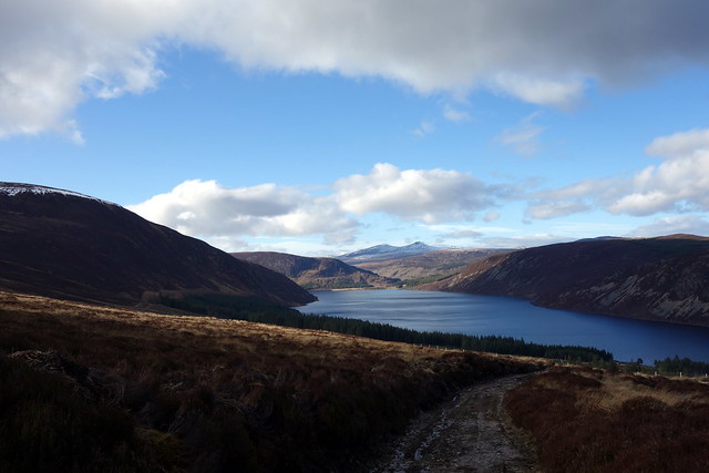
Loch Morie
 DSC02813
 by
Al, on Flickr
 DSC02814
 by
Al, on Flickr
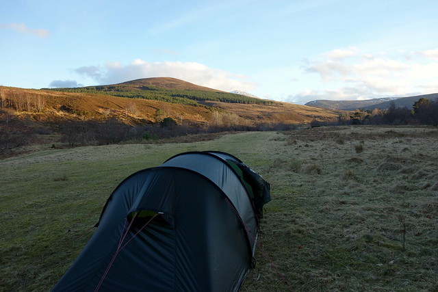
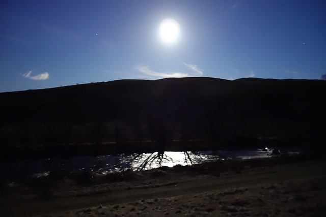
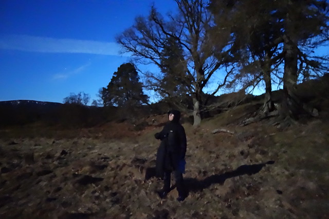
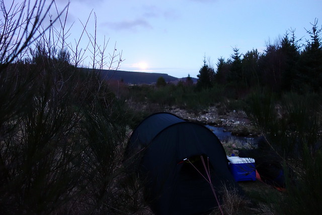
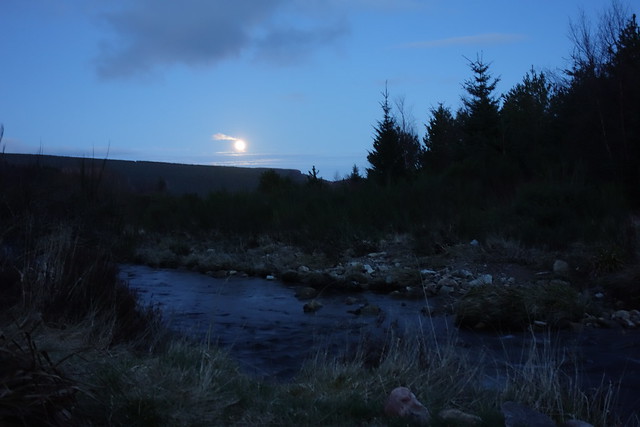
I had originally intended to climb the neighbouring Beinn Tharsuinn the following day, leaving the more northernly Carn a'Choin Deirg til Monday - but we had finished quite early and had plenty of time to drive up to Glen Alladale before dark descended. So that's what we did - managing to find an excellent wild camp spot off road along the banks of the Allt Charron. Warm late afternoon sun blessed us while we put up the tent and sat having our meal. The moon- almost full - rose like a searchlight in the eastern sky - it would have been possible to climb our hill by the light she cast. I did suggest this but for some reason Allison was not receptive to the idea

 DSC02815
 by
Al, on Flickr
By the light of the silvery moon
 DSC02822
 by
Al, on Flickr
Ok - maybe a bit of camera enhancement
 DSC02823
 by
Al, on Flickr
 DSC02825
 by
Al, on Flickr
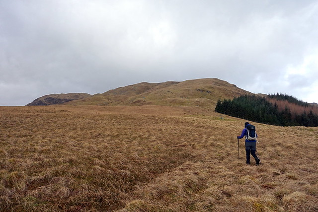
A beautiful morning followed - we packed up, took the car to the usual parking spot near Glencalvie Lodge and set off early along the track to Alladale Lodge. One of my favourite places this, with a profusion of mature Scots pines, a rocky rushing river with frequent rapids. It is so refreshing to see an estate manage their land sensitively, as Alladale seem to do. We reached the road up to the lodge, continuing round to the two estate holiday cottages - Ghillies Rest and Eagle Crag - which would be fine places to stay. On cue we watched an eagle circle above the valley in the sunshine - what a fine morning to be out and about.
 DSC02828
 by
Al, on Flickr
 DSC02829
 by
Al, on Flickr
The wall of Carn Ban
 DSC02831
 by
Al, on Flickr
 DSC02833
 by
Al, on Flickr
Cottages, Carn Alladale behind
 DSC02834
 by
Al, on Flickr
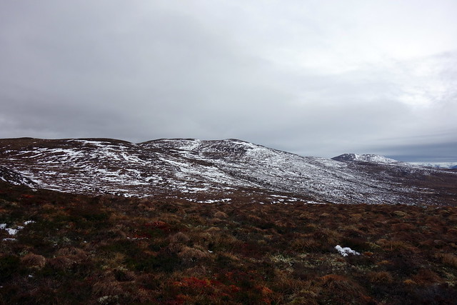
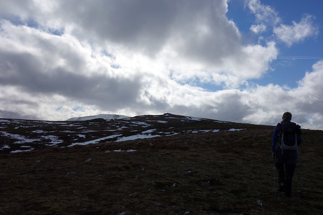
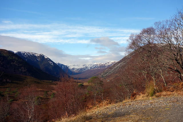
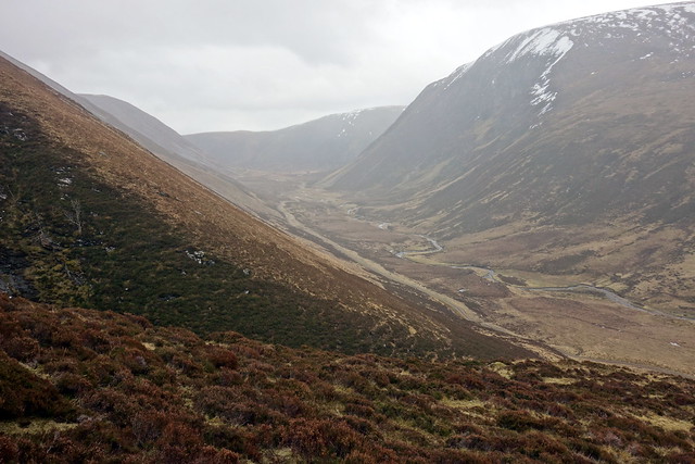
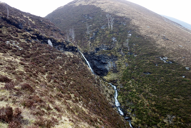
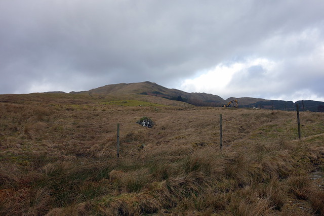
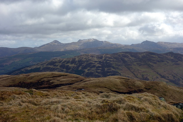
We turned up the hillside after passing the first cottage and ascended Carn Alladale - easy going and less wet underfoot than expected. The long steep walls of Carn Ban enclosed the west of the valley and as we got to the summit the Assynt hills were briefly visible before the clouds descended. It's a fair walk from Carn Alladale over to Choin Deirg, passing over the long back of an intermediate Simm on the way. It became colder, the wind rising and sky overcast. There were patches of snow to be crossed before we made the final summit. Lovely soft moss underfoot - a nice spot for a summit camp. We then turned SW over Leathad nan Con Dearga and took the western side of the Allt Easain Dhubh back to the estate track at the base of the valley, passing the waterfall on the way down that resides in the deep cleft. Back on track we sauntered along the valley floor, rounding the south of Carn Alladale and continuing on our outward route. Quite a few cars had joined ours in the car park.
South to Carn Chunneag
 DSC02836
 by
Al, on Flickr
North East
 DSC02837
 by
Al, on Flickr
Undulations to Choin Deirg
 DSC02839
 by
Al, on Flickr
Assynt hills
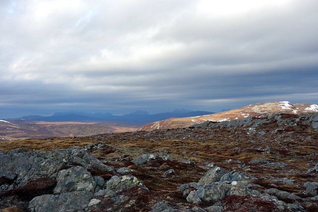 DSC02840
 by
Al, on Flickr
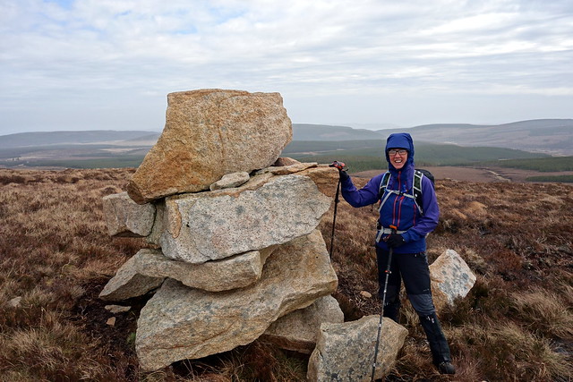
Summit Carn Alladale
 DSC02841
 by
Al, on Flickr
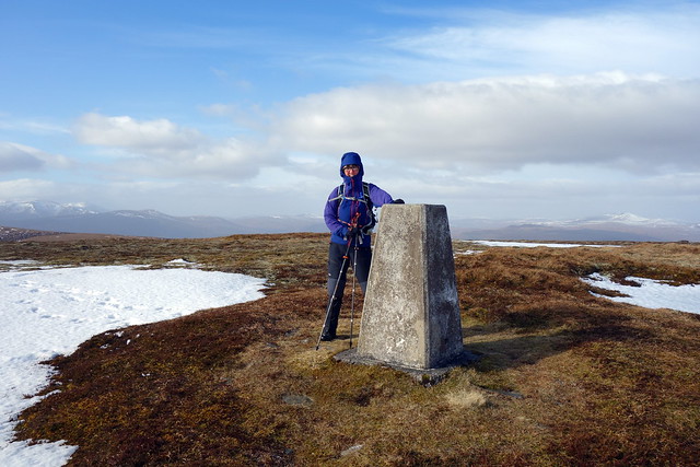
Summit Deirg
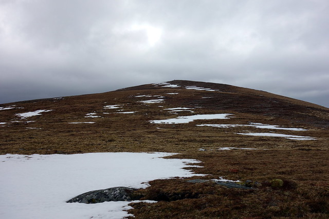 DSC02846
 by
Al, on Flickr
 DSC02847
 by
Al, on Flickr
Descent
 DSC02849
 by
Al, on Flickr
 DSC02850
 by
Al, on Flickr
Eas Dhubh
 DSC02851
 by
Al, on Flickr
 DSC02852
 by
Al, on Flickr
 DSC02855
 by
Al, on Flickr
We then drove back along the B9176 to Strathrory Bridge, the start point for Beinn Tharsuinn. Hoping to find a camp spot near the car park we were dismayed to find the area is a fly-tipping spot for the local residents. We managed to squeeze the smaller tent into a spot by the river which was passable for a night if lacking the beauty of our previous night's location. The moon was full tonight and once again blazed down. A couple of walkers who's car was in the parking area when we arrived passed by the tent at 8pm, presumably taking advantage of the moonlight.
 DSC02856
 by
Al, on Flickr
Another bright night
 DSC02858
 by
Al, on Flickr
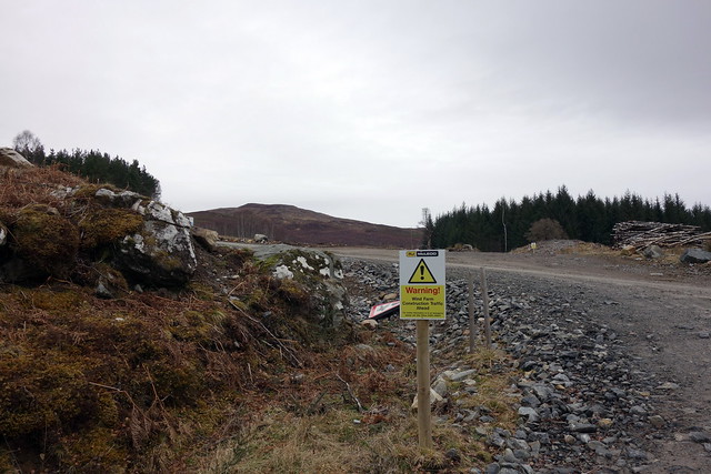
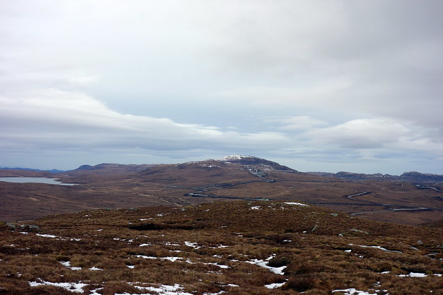
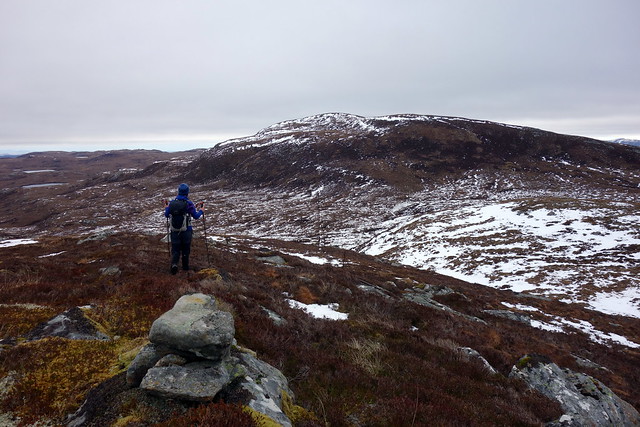
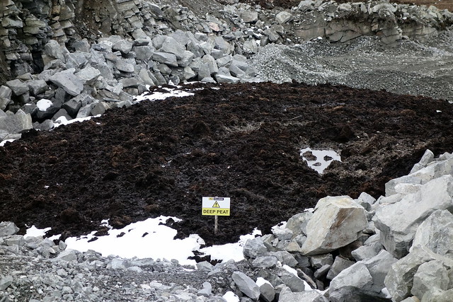
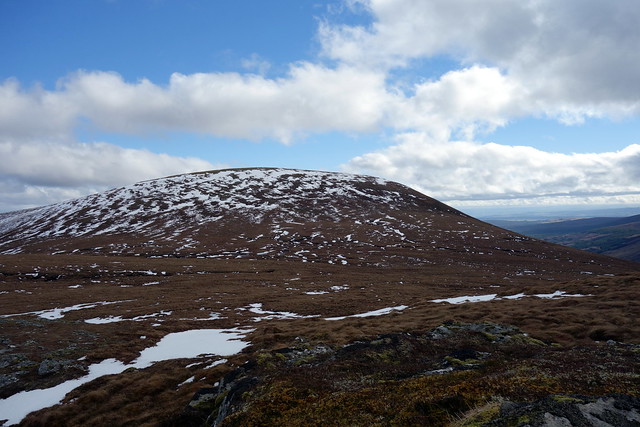
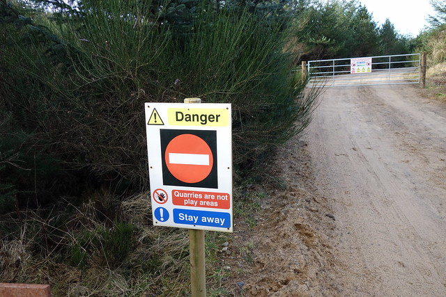
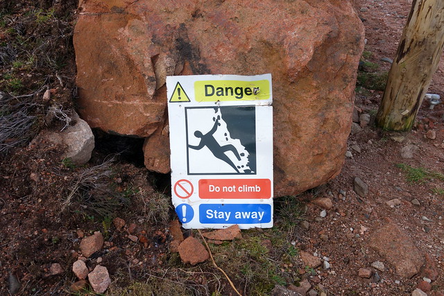
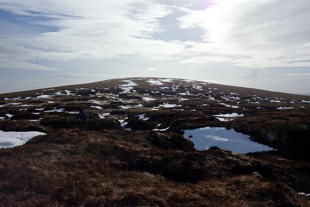
We set off early next morning, past the quarry with its many and varied warning signs and onto the wind farm track. This skirts some forestry then crosses a bridge and ends in an open quarry despoiling the side of Torr Leathann like an open wound. We then set off up the tussocky hillside, giving the quarry a wide berth. Steady progress up the hillside brought us to the summit of this Simm. There's a large cairn which we clung to in the high wind. Down northwards to the bealach with Beinn Tharsuinn - peat hags to be negotiated. A slow process, but the first of many it would turn out. I had thought of visiting the western top of Cnoc an t-Sithean Mor but as this would involve some 3km of peat hags thought again

We reached the summit of Tharsuinn and headed to the northern top (as I found out on my return this has been demoted to a sub-Simm...damn). It was protected by a fiendish encirclement of peat hags and took a good deal longer than the 20 minutes quoted in the SMC book. We dropped down eastwards towards the wind farm - having more hags to cross/avoid. It was good to be out of the wind at least temporarily and we paused for lunch in a relatively sheltered spot. A fox in thick winter coat ran by below us, seemingly oblivious of our presence, making quick work of peat hags.
 DSC02861
 by
Al, on Flickr
 DSC02863
 by
Al, on Flickr
Our hills
 DSC02864
 by
Al, on Flickr
 DSC02867
 by
Al, on Flickr
Summit Torr Leathad
 DSC02870
 by
Al, on Flickr
Beinn Tharsuinn
 DSC02871
 by
Al, on Flickr
 DSC02872
 by
Al, on Flickr
Hags
 DSC02874
 by
Al, on Flickr
Northern top
 DSC02875
 by
Al, on Flickr
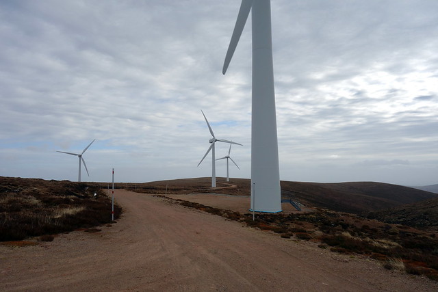
Wind farm
 DSC02876
 by
Al, on Flickr
 DSC02877
 by
Al, on Flickr
Cairn raised by giants (or a digger)
 DSC02879
 by
Al, on Flickr
Quarry
 DSC02880
 by
Al, on Flickr
 DSC02881
 by
Al, on Flickr
We set off again for the turbines. Because it was so windy the noise was considerable. I stood underneath the great slashing blades - quite eerie in a high wind. From here we joined a "track" which took us off the south of Meall a'Bhreacain - this was a peaty squelch for much of the time but eventually joined with our outward track by the quarry. Can't say I found much to recommend in Beinn Tharsuinn - a "baggers only" in my opinion (unless frozen surface or bone dry underfoot). We had finished again quite early, the advantages to an early start, and had plenty of time to drive down the road today, enabling a sixth - bonus - hill to be added on the Tuesday. quick thinking - we could head to Comrie Croft for the night and climb Creag Mhor in Balquidder on Tuesday (a mere 5km loop). Sounds like a plan! Stropped off at the outdoor shops in Inverness on the way down for some new boots (sick of having wet feet in my old Salomons) and made it down to Comrie just after 6pm. A refreshing and warming shower, some food and a night's sleep.
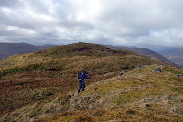
Last time we'd stayed in Comrie it had been -10 overnight - today the sun was warm. We washed up variuous bits of kit before driving along Loch Earn and then along the small road to Ballimore. Our book suggests parking before the access road to the farm, at the end of the public road, but this is currently full of construction machinery and has "No Parking" signs, so we parked by the start of the track itself - plenty room for 1 car. Several giant diggers descended past us as we prepared to set out. The walk crosses a field then up onto hillside. There's a ricketty fence which is easiest managed by squeezing through between top and bottom section of wires rather than climbing. As we ascended Clach Mhor the wind was fierce - Allison attempted to take as much of a leeward route as possible to little avail. We reached the easteernmost top then worked our way west - for much of this time we were protected from the wind by the summit itself - no such protection on the final few metres and Allison had to crawl onto the summit boulder. I was blown off
Descent more or less the same as the outward route, though Allison claimed my navigation took us a much wetter way than she'd picked on the ascent - I was testing out my new boots
 DSC02882
 by
Al, on Flickr
Up to Clach Mhor
 DSC02883
 by
Al, on Flickr
Summit
 DSC02886
 by
Al, on Flickr
 DSC02887
 by
Al, on Flickr
Ben Vorlich
 DSC02888
 by
Al, on Flickr
Summit Creag Mhor
 DSC02891
 by
Al, on Flickr
 DSC02893
 by
Al, on Flickr
So a dozen left - and another 5 day trip up to the northwest later this week - unfortunately in foul weather it seems going by the forecast. But variety is the spice of life...
