free to be able to rate and comment on reports (as well as access 1:25000 mapping).
Map: OS 1:50,000 nos. 71 & 78
Attendees: Me, Big Dog, Small Dog
Time: 3hr 45m.
I was looking to make progress on my Sub 2000’s list and the better end of a gloomy national forecast took me west to three hills either side of the A76 between Kirkconnel and Enterkinfoot.
Kirkland HillDistance: 4k. Ascent: 146m. Time: 1 hr.
My start point for Kirkland was the high cattle grid (GR 745164) on the single track road leading northwest from the B740 at Crawick. The road wends its way upwards to a high point of over 400m and ends at Fingland. It’s not a difficult drive but passing places are few. For a time I fret about encountering a bad-tempered, behind-time delivery driver coming the other way.
After parking on a wide grass verge beyond the cattle grid I set off down the track to its western side. There’s helpful signage here, albeit located on an extremely short pole.
Start point for Kirkland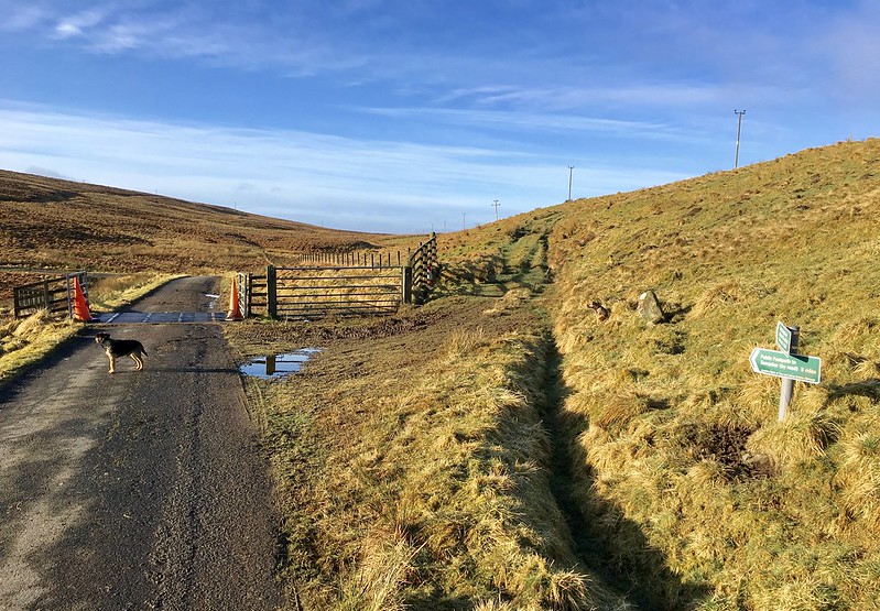 fullsizeoutput_33ce
 by
Neil Mackay, on Flickr
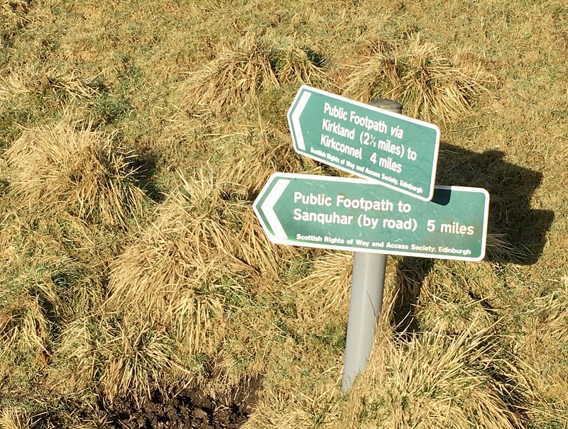 fullsizeoutput_33d0
 by
Neil Mackay, on Flickr
The track runs southwest and after a few hundred metres arrives at a metal kissing gate. There were clear views of Kirkland Hill ahead. Going through the gate and across a burn I turned north after a short distance to pick up an ATV track alongside the fence shown in the middle right of the picture below. This made for good progress up to the eastern ridge of Kirkland. The track then veered away westwards from the fence directly to the trig point.
The summit proved to be a good vantage point.
Kissing gate with Kirkland behind - the ATV track runs to the left of the fence line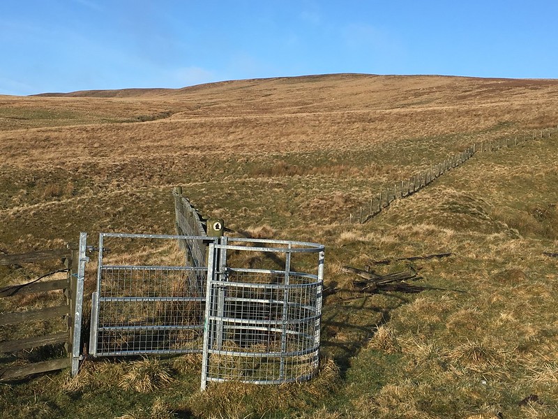 IMG_2113
 by
Neil Mackay, on Flickr
Easy going on Kirkland's east ridge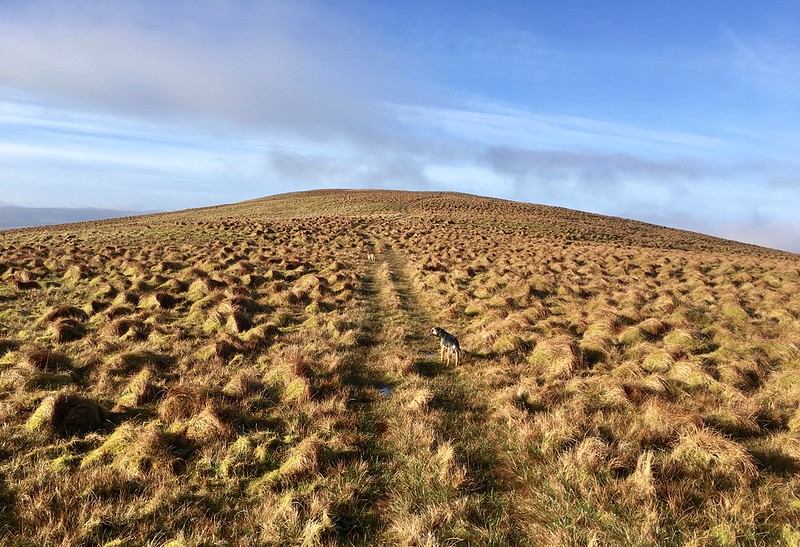 fullsizeoutput_33d2
 by
Neil Mackay, on Flickr
Trig point looking southwest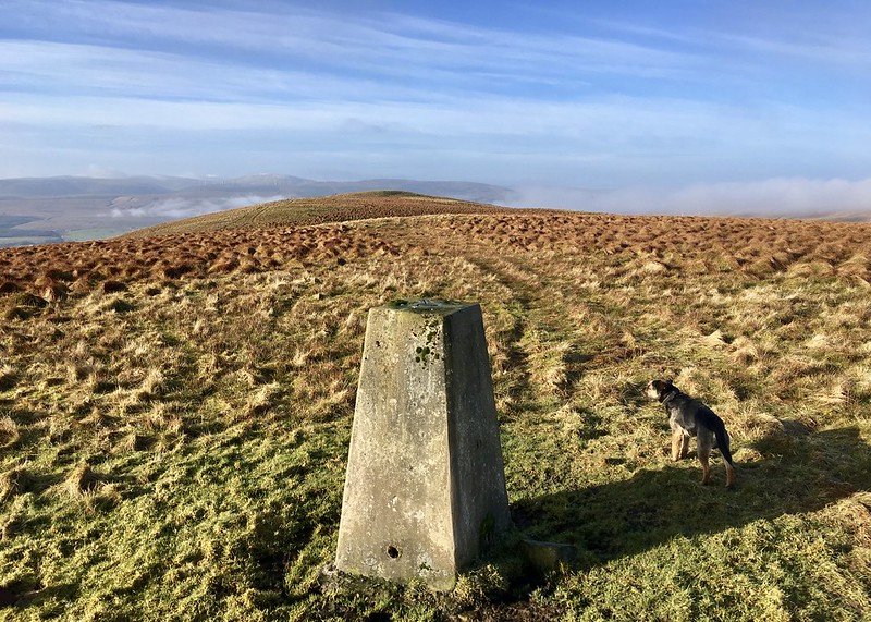 fullsizeoutput_33da
 by
Neil Mackay, on Flickr
Looking southeast to Todholes Hill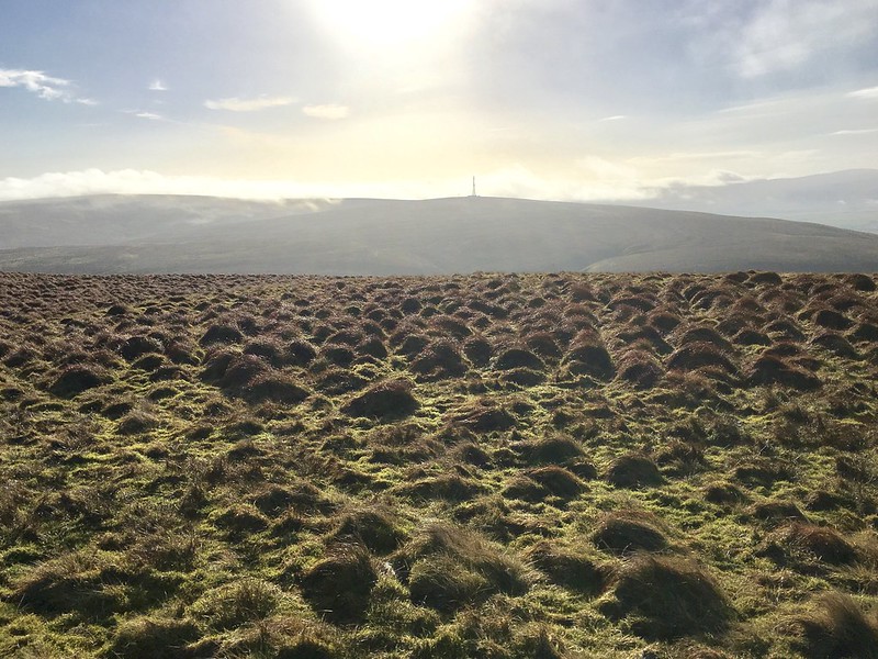 fullsizeoutput_33de
 by
Neil Mackay, on Flickr
The view northeast - Common Hill at the back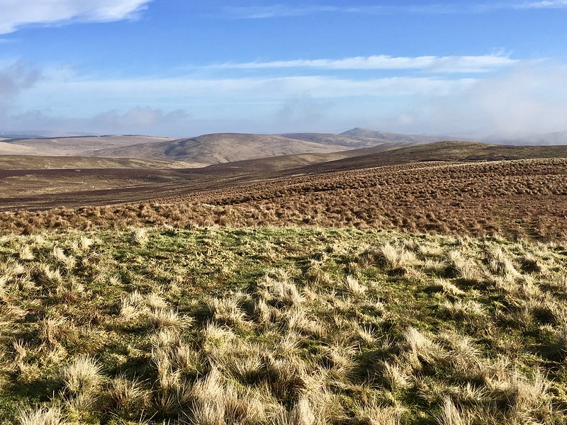 fullsizeoutput_33e0
 by
Neil Mackay, on Flickr
On the way down I tried a more direct route southeast to the kissing gate. More direct it may have been but any time saved was minimal. The terrain here was soggy and patchworked with knee-high tussocks.
Cairnkinna HillDistance: 5k. Ascent: 386m. Time: 1 hr 45 mins.
I had some difficulties before I started this hill. On the way from Sanquhar I managed to take more than one wrong turn on the network of single track roads that run south through to Monaive and Penpont.
Eventually I did find my way to the glen south of Cairnkinna. It’s a pretty place. Mixed woodland garnishes the lower slopes of steep sided hills and the access road runs close to the burbling Scaur Water (spelled ‘Scar’ on my map). Cairnkinna Hill itself looked sleek and slender from below. Two large birds –Red Kites I think- wheeled overhead before drifting off to the east.
The next issue was parking. It’s a narrow road and requires care. (I’d already passed a Land Rover sunk axle deep and abandoned in a muddy verge.) One option was leaving the car near Woodend and working my way gradually up the southeast ridge. However no suitable parking spot presented itself. In any case, I was now an hour behind schedule.
I decided to leave the car in a small quarried area on the north side of the road at GR 787005. This would make the walk shorter and steeper. And so it proved. The ridge line was only half a kilometre behind the car. But it was a thigh-burning climb to get there.
A short break and I turned northwest towards the high point of Woodend Craig. An electric fence ran the same way. I followed a faint trod on one side of the fence before hopping over to a good ATV track on the other.
A bank of cloud was rolling over the hill by the time I hit the 488m top. The way ahead was clear enough though - another ATV track ran northeast up the centre of the broad ridge, through an old fence line, and all the way to the trig point and summit cairn. It was easy going. Midway there a sheep skull stared at me from the grass.
Start point for Cairnkinna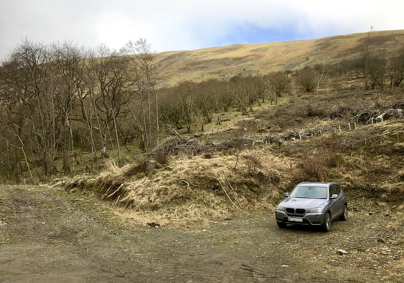 fullsizeoutput_33e6
 by
Neil Mackay, on Flickr
Ascending Woodend Craig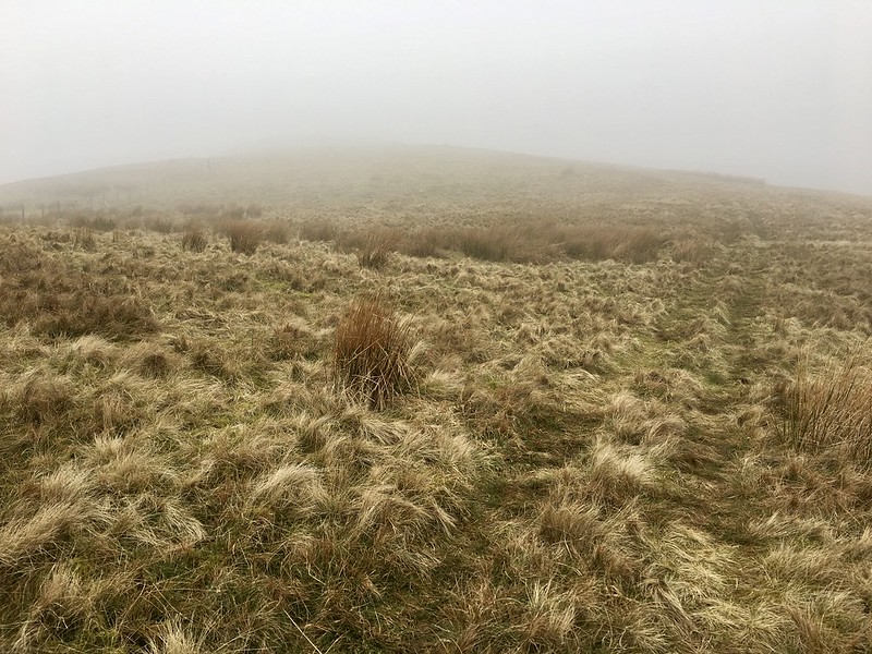 fullsizeoutput_33e8
 by
Neil Mackay, on Flickr
And on into the murk on Cairnkinna's southwest ridge 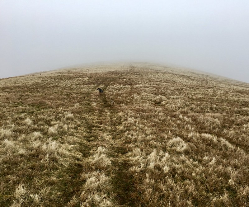 fullsizeoutput_33ea
 by
Neil Mackay, on Flickr
In truth, there wasn’t a lot to see from the summit so I wandered round the large cairn. A corner of its been made into a three-sided low wind shelter, comfortable enough for one person to sit in.
Atop Cairnkinna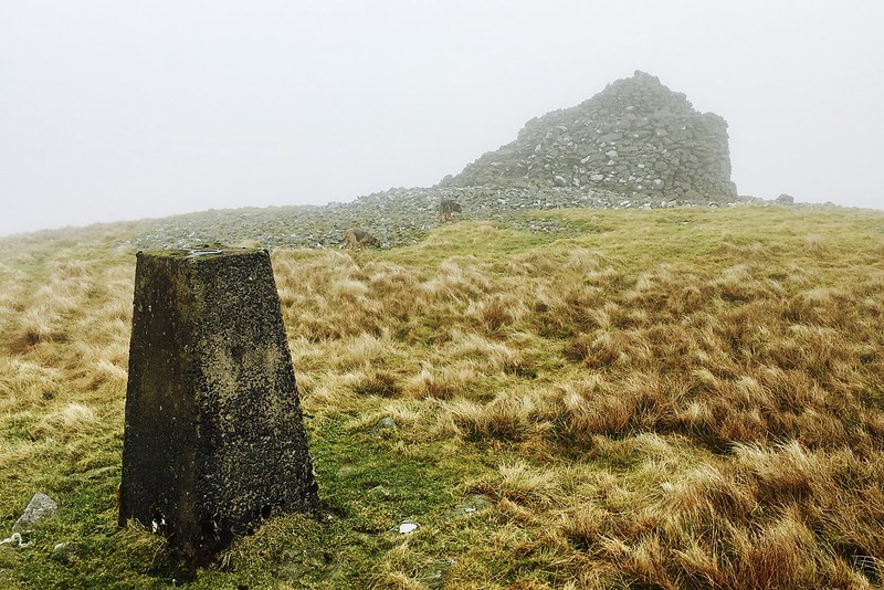 fullsizeoutput_33ec
 by
Neil Mackay, on Flickr
Descending back to the Scaur Water valley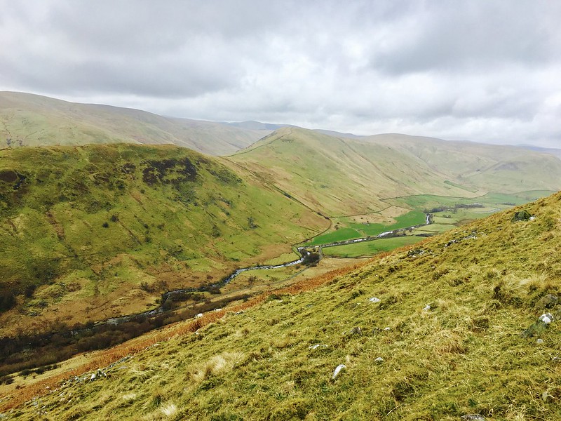 fullsizeoutput_33ee
 by
Neil Mackay, on Flickr
I descended more or less the way I came up. Predictably the last section was a knee thumper. By now, my ‘sleek and slender’ impression of the hill had changed. It proved to be biggier, bulkier and more impressive than I expected. For a Sub 2k, Cairnkinna’s a bit of a bruiser.
Cairn HillDistance: 3k. Ascent: 207m. Time: 1 hr.
This was meant to be my penultimate hill for the day but delays getting to Cairnkinna meant it would now be my last.
Two options presented themselves by way of approach -
a) From the north - following a track (GR 838098) south-southeast from Mennock on the B797 and coming up over Yell Hill; or
b) From the south - off the minor road to Coshogle, west of Enterkinfoot.
I chose the latter. It seemed shorter and I was keen to visit the old church at Kirkbride.
Having done some online checks beforehand, I was aware that the occupiers at Kirkbride Cottage had a boisterous group of dogs. Setting off from the south would have taken me directly passed the house and I wasn’t sure how my two would react to them.
A fingerboard points to Kirkbride Church just before a distinct U-bend in the minor road. I decided to follow the track northwest here in the hope that I could get beyond the Cottage and leave the car somewhere in the vicinity of the ruins. Unfortunately I took a wrong turn (a common theme emerging today

) towards the end of the track and ended up at the front door of the Cottage.
A sullen looking man appeared from within. I braced myself for a row. I needn’t have. The guy was pleasant, explaining that the dogs were locked away for the afternoon and offering to let me leave my car in the paddock behind his house. We chatted for a few minutes about the old church. He sounded rueful about its condition and demise.
With hindsight, it’s probably worth pointing out two things here. First, the upper reaches of the Church track are unsuitable for anything other than 4WD vehicles. Second, progress along the lower parts of the track are so slow and the distance covered so short, it’s probably not worth taking the car in any case. (I didn’t see the Kirkbride dogs myself so can’t comment on whether my choice to was justified or not.)
Looking back to Kirkbride from the gate into the wood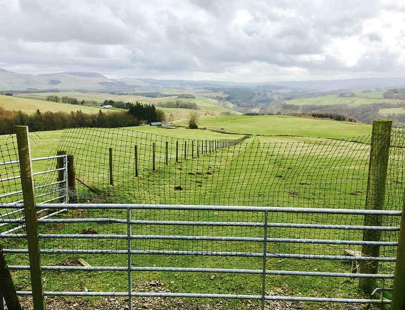 fullsizeoutput_33f2
 by
Neil Mackay, on Flickr
From my parking point I followed the track north through two gates and into a small wood. Ahead was a small clearing with a number of barrel contraptions in a wired enclosure. I’m not quite sure what their purpose was/is but I took an open gate to the right and then walked on through a gap in the trees to the rear. A path here is plain enough; at some points it’s overhung by low branches.
Onwards into the wood...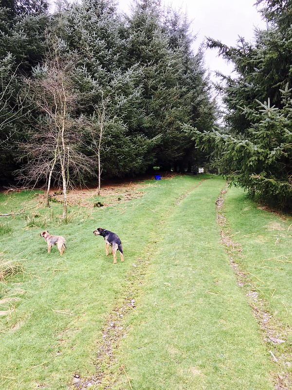 fullsizeoutput_33f6
 by
Neil Mackay, on Flickr
At the north edge of the forest I came to a metal gate and the open hillside. It was then a matter of hop-scotching faint ATV and animal tracks northwards to the old summit cairn which sits at a junction of fences.
The views from the top were dominated by Lowther Hill to the northeast. I’ve done most of the hills in this area now and for some reason always find its golf ball top reassuring; rather like a friendly old neighbour you see regularly but never speak to. I found myself waving at it before I knew it.
Looking towards Lowther Hill on the way up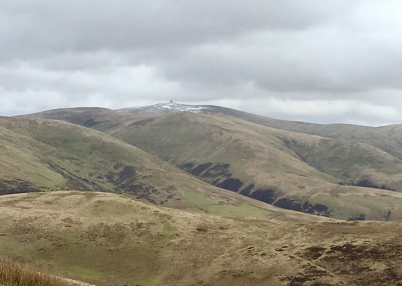 fullsizeoutput_33f8
 by
Neil Mackay, on Flickr
The cairn on Cairn Hill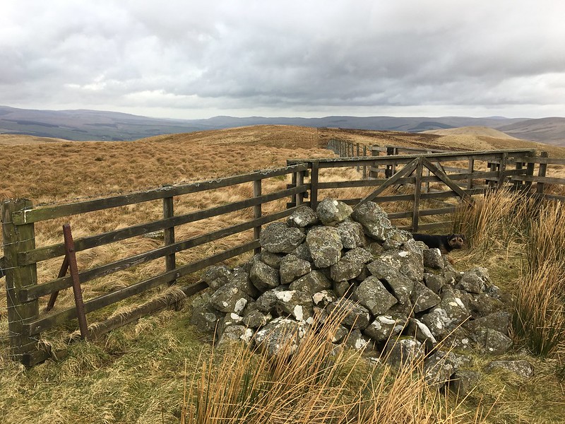 IMG_2142
 by
Neil Mackay, on Flickr
I returned to the car as per my outward route, stopping briefly to have a look round the old church and graveyard. I understand the building dates back to the 16th century. There’s little left of it now and –notwithstanding the nearby cottage- the location feels remote. I found one headstone dating to 1845 but most are so weathered as to be indecipherable.
Engraving on a Kirkbride headstone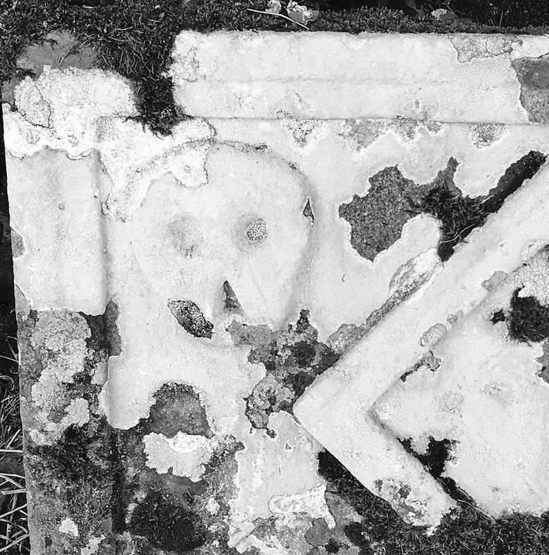 fullsizeoutput_3406
 by
Neil Mackay, on Flickr
Ivy eating into the old Church walls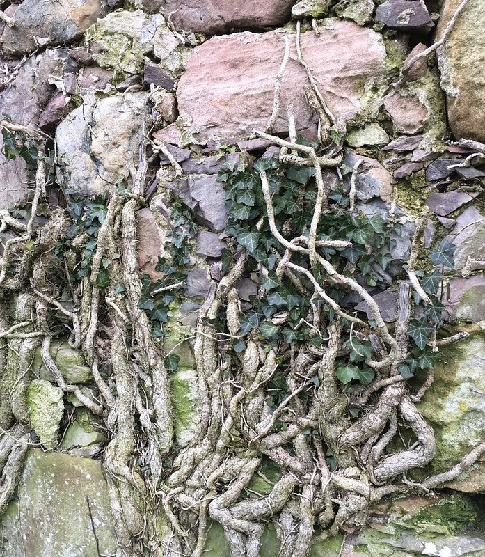 fullsizeoutput_340e
 by
Neil Mackay, on Flickr
Kirkbride Church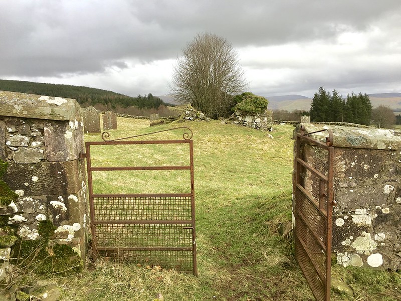 fullsizeoutput_3400
 by
Neil Mackay, on Flickr
Looking back - Church, wood and hill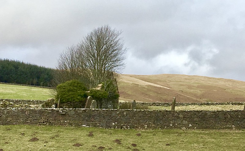 fullsizeoutput_340a
 by
Neil Mackay, on Flickr
On the way back to Edinburgh, I went through Durisdeer and passed Well Hill. This was meant to be my last target for the day. Ach well, another time. It’s a nice part of the country and one worth returning to.
