free to be able to rate and comment on reports (as well as access 1:25000 mapping).
Link to previous partDay 5 - Sunday 23rd April. 31 miles on the bikeSub 2k Marilyns: Doire Ban.
Date: 23/04/2017.
Distance: 4.5km.
Ascent: 410m.
Time: 1 hour, 40 minutes.
Weather: Gradually turning to sunny and pleasant.
After a good meet, but nowhere near enough sleep on the Saturday night, I managed to drag myself out of bed and pack up - it was time to head for home. At one point I had considered doing the entire 85 miles on the Sunday, but I doubted I'd be up for this at the time. Perhaps it could have been done, but there was no need - I had Monday off work and the two Alans were up for a bothy night at Invermallie - a much better arrangement. Sadly Alan R pulled out due to injury, but Alan Mountainstar was still keen.
The weather was set to deteriorate in the afternoon so I was keen to get the roughest part of the day out of the way before that - the section of WHW between Mamore Lodge and Lundavra. I knew this was just about passable on a road bike as I'd covered it on a Kinlochleven - Fort William - Onich circuit from Ballachulish when I was about 16.
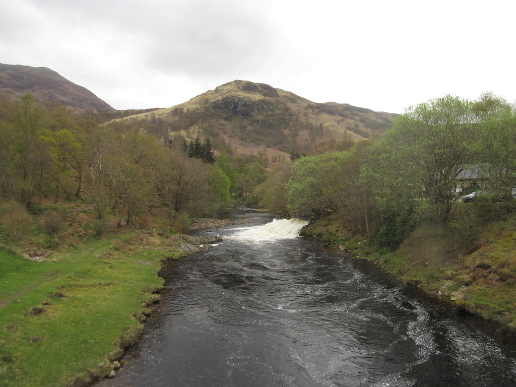
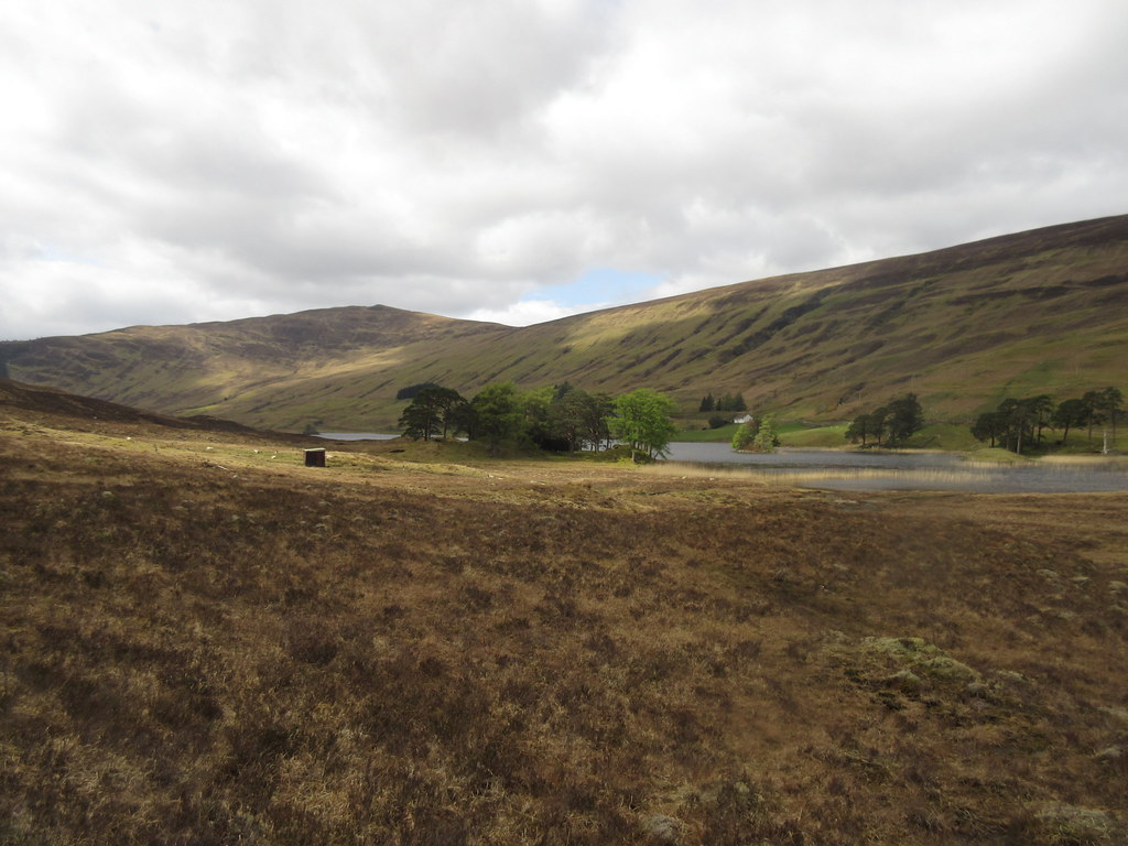
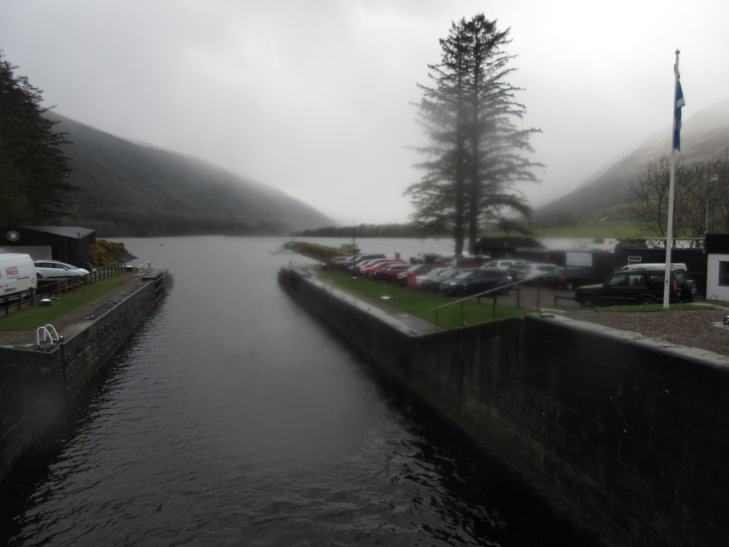
River Leven and tailrace at Kinlochleven:
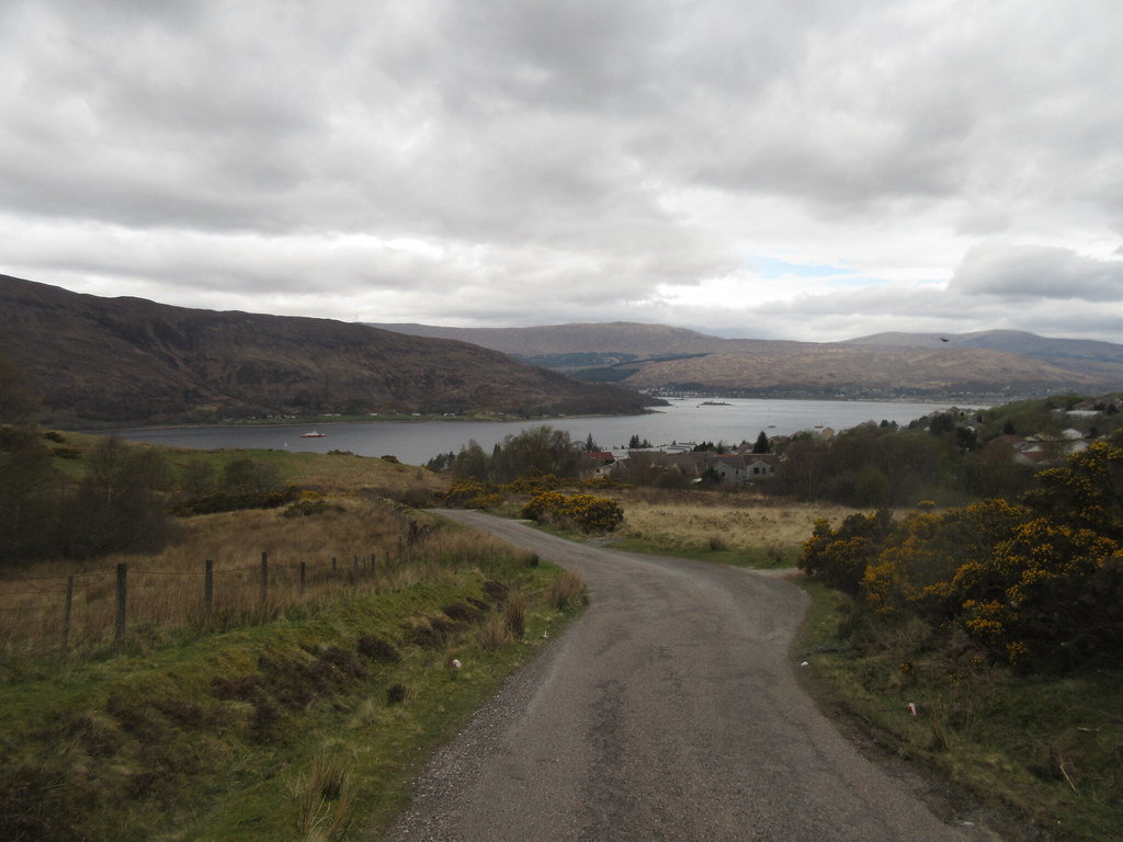
I wondered if the road up to Mamore Lodge would be too steep to cycle, but by now it was just a case of getting into a low gear and plodding up it at whatever speed I could manage. On the rougher track west from the lodge, there was still more up, but it was much more gradual (and even included some down). I was last up here accompanying my mum and sister on the last day of their WHW in 2010, and the clag was down then, so it was nice to enjoy the views down Loch Leven.
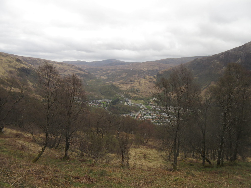
Kinlochleven from near Mamore Lodge:
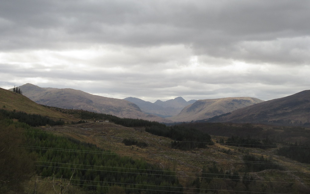
On the WHW above Loch Leven:
Also on that day, there had been an endless precession of zombies marching towards Fort William, I hoped it wouldn't be as busy today, as I would have to squeeze past everyone.
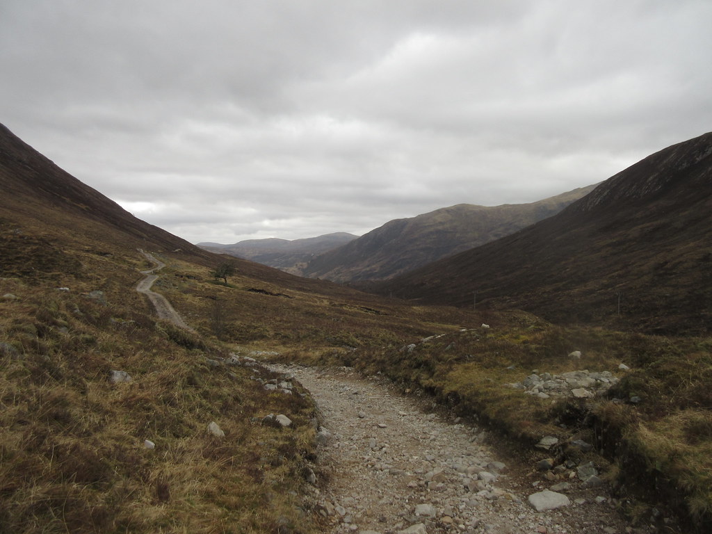
Going was rather slow due to the rubbly nature of the track. Even if there was a nice straight flattish bit, it was full of rocks and I couldn't really pick up much speed. I even had to accept pushing on a couple of short sections - the combination of steep and rubble was too much for me. But I was able to stay on the bike for 95% of the journey, and as I commented to a couple of curious passers-by it was much more interesting and enjoyable than the A82.
Typical section of WHW:
Although I gradually caught up the main concentration of walkers, it wasn't too busy at all, and I did actually enjoy myself. I have to say when I finally hit the tarmac at Lundavra I was quite relieved though! I'm not a complete masochist, and had no intention of following the next bit of WHW over to Glen Nevis.
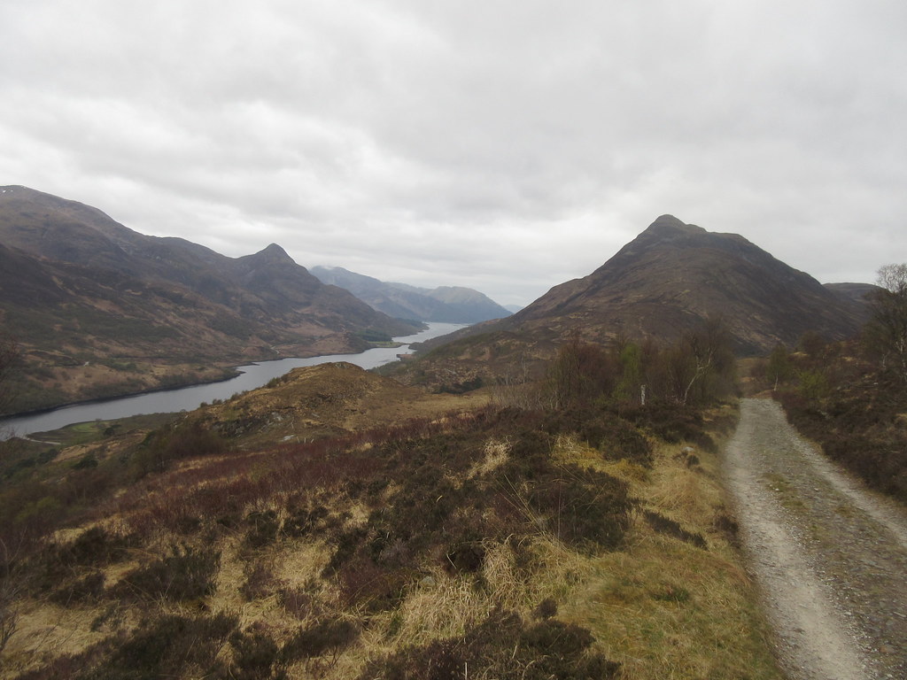
Lochan Lunn Da-Bhra and Beinn na Gucaig:
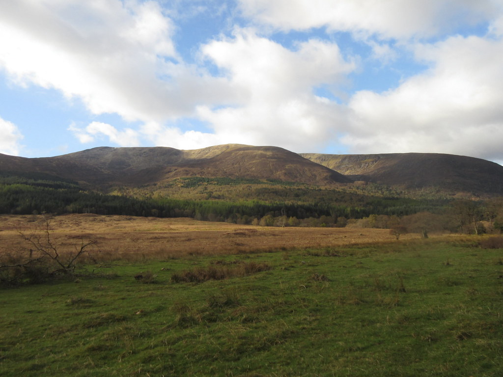
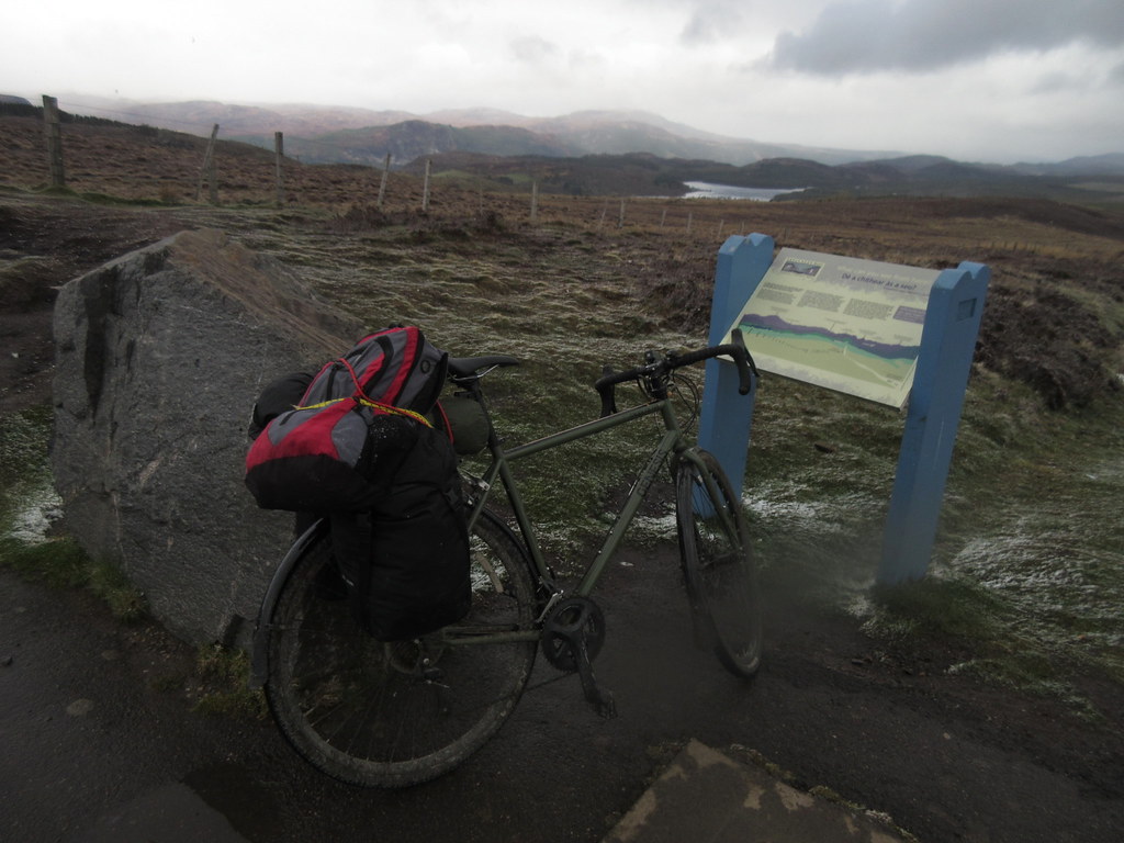
Over the last half-hour, the sun had gradually been emerging, and far from deteriorating, the weather was now much nicer than when I started. So I instinctively took a left on the tarmac towards the loch, with a view to a short walk up Doire Ban. This was always at the back of my mind as a possibility, but I had thought it the least likely of the Marilyns I had passed to actually get climbed.
After leaving the bike propped against a fence next to the bridge, I splashed through the Allt na Lairige Moire and crossed boggy heather to the broad N ridge.
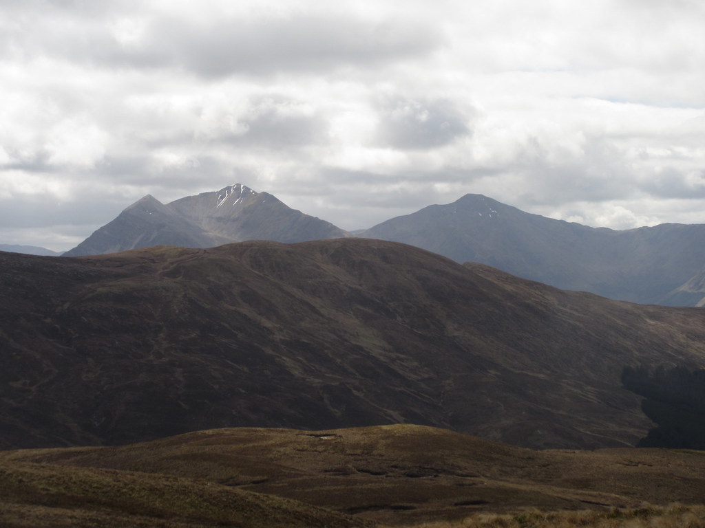
Looking towards Bidein Bad na h-Iolaire:
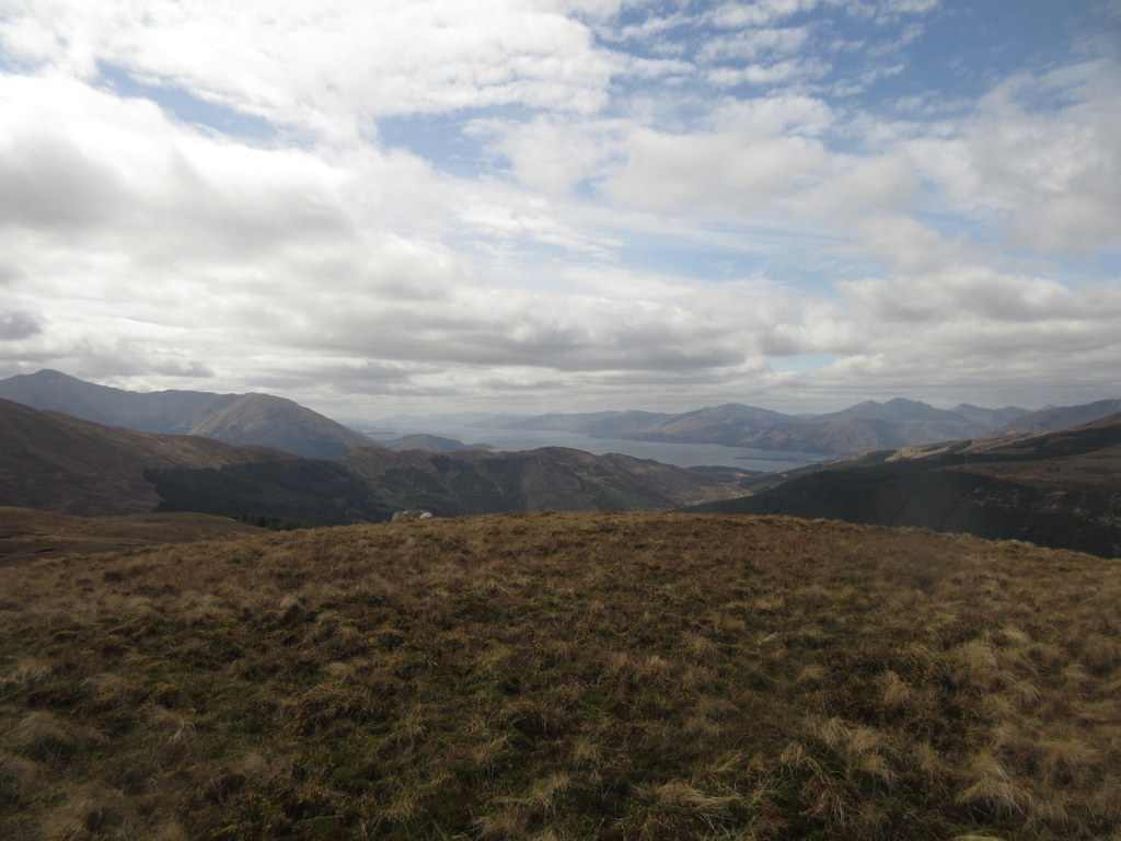
I had been looking at the hill side-on as I cycled over the Lairig Mor, so I knew it would have endless false summits, as the ridge ascended in ever shallower steps. Still, it was easy enough, and for a hill hemmed in on all sides by higher summits, it had remarkably good views. They were very much inferior to those from Tom Meadhoin and Mam na Gualainn, but I enjoyed them all the same.
Garbh Bheinn from Doire Bhan:
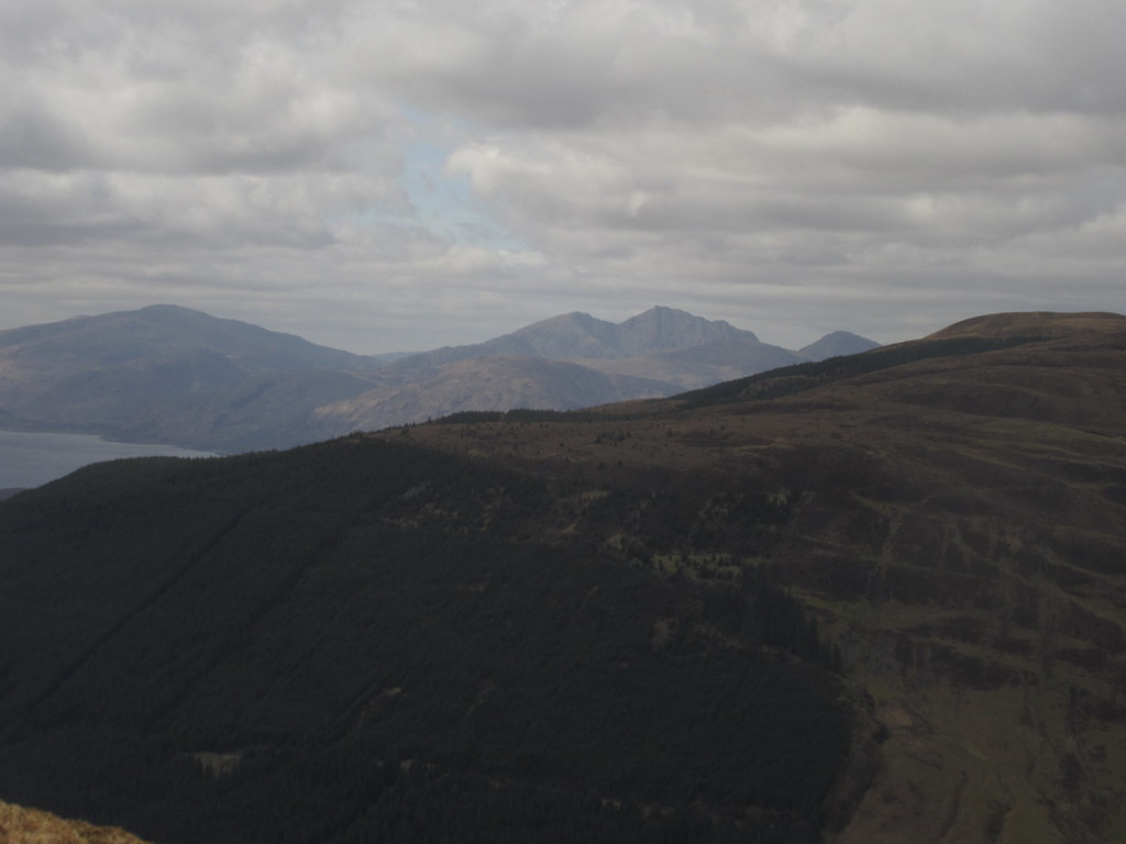
Mull and Loch Linnhe:
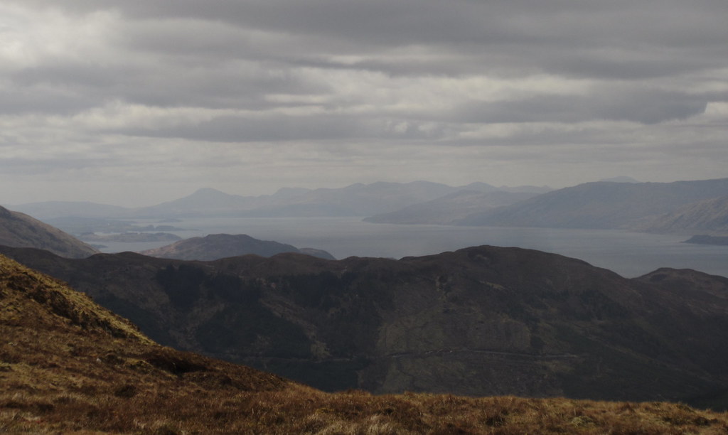
Bidean and Beinn Mhaol Chaluim:

Sgorr Dearg and Sgorr Dhonuill:
Loch Linnhe again:
After a bite to eat for lunch, it was back to the bike by a similar route.
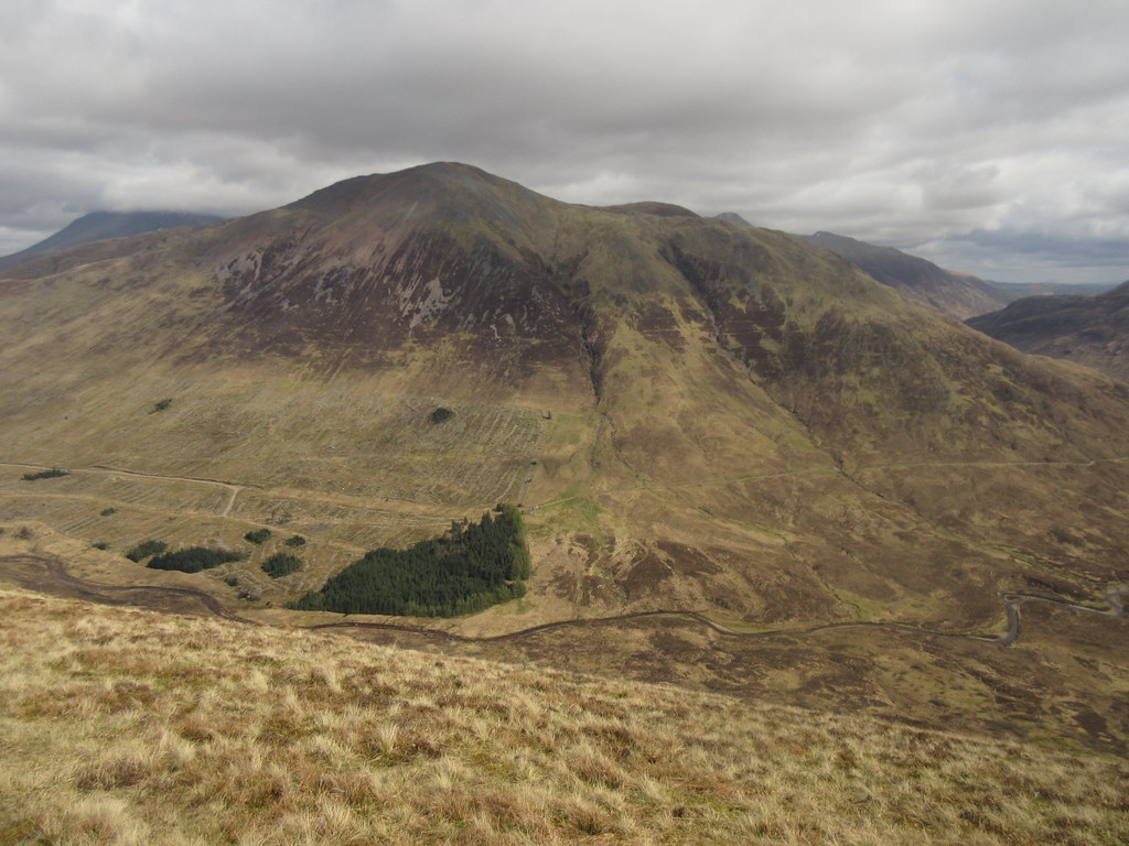
Meall a' Chaorainn:
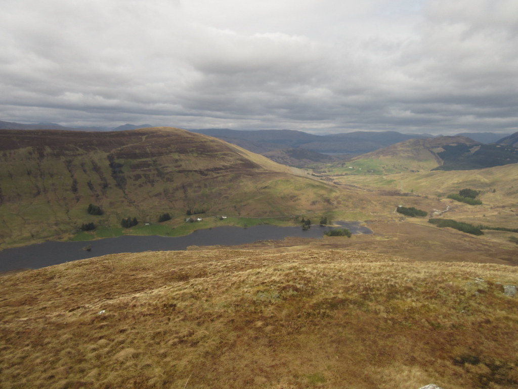
Lochan Lunn Da-Bhra from Doire Ban:
While Fort William is very much downhill from here, the Lundavra road still has a couple of short but brutal ascents in it. A couple of unexpected glimpses of Ardgour and Sgorr Dhomhnuill though.
Sgorr Dhomhnuill:
Finally I was dropping into Fort William and the weather was still holding. Definitely one of the more impressive ways into the Fort, this. By the time I had rolled down the high street and over to Morrisons, it had taken me 2 and a half hours of cycling (once the hillwalking had been subtracted) to make the crossing from Kinlochleven. Slower than the A82, but time well spent.
Descending to Fort William:
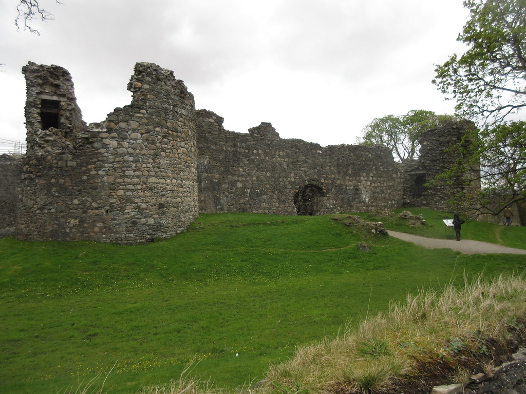
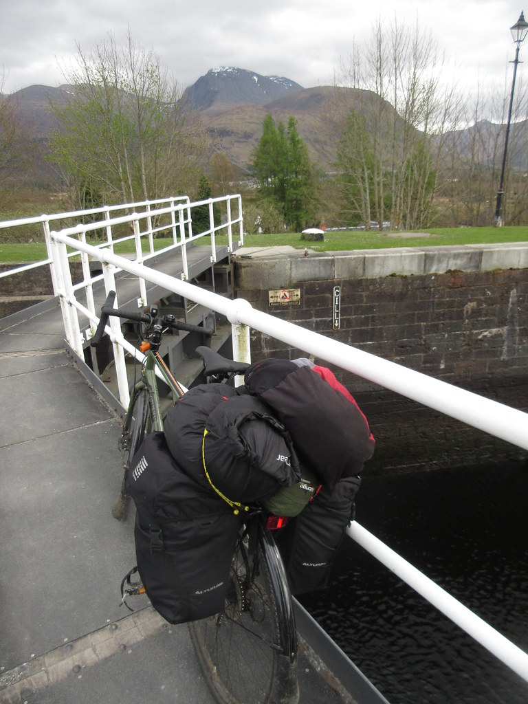
I took the back roads out of Fort William, passing Inverlochy Castle. Unfortunately the footbridge over to Lochyside was closed for repairs, so it was back onto the main road briefly, until I got to the locks at Neptune's Staircase. While I had half a mind to follow the B road here, I decided to go for the canal towpath instead.
Inverlochy Castle:
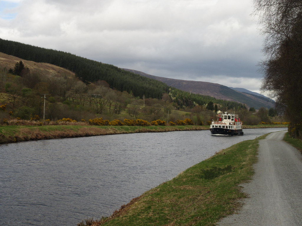
The towpath was a great choice, not least because there was a new café halfway up the locks. Time for a proper cake stop - something I hadn't really done enough of so far. Nice café, although the staff were really making a meal out of serving relatively few customers. Not sure how they coped with the large party of Chinese tourists that were just straggling in as I left!
Neptune's Staircase:
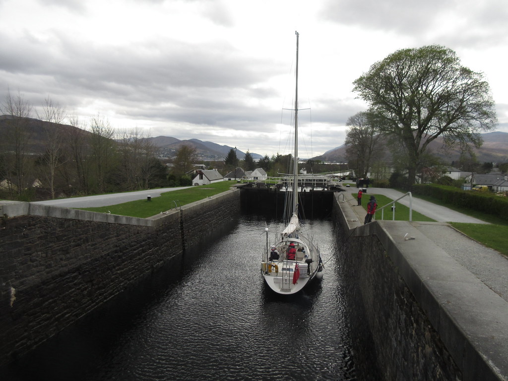
...with Ben Nevis behind:
I was glad I'd picked the towpath - lovely relaxing cycling along a surface probably smoother than the road, and with a nice tail wind too. From Neptune's Staircase to Achnacarry was probably my favourite part of the day.
Cruising on the Caley:
Looking towards the Monadh Liath and Glen Gloy:
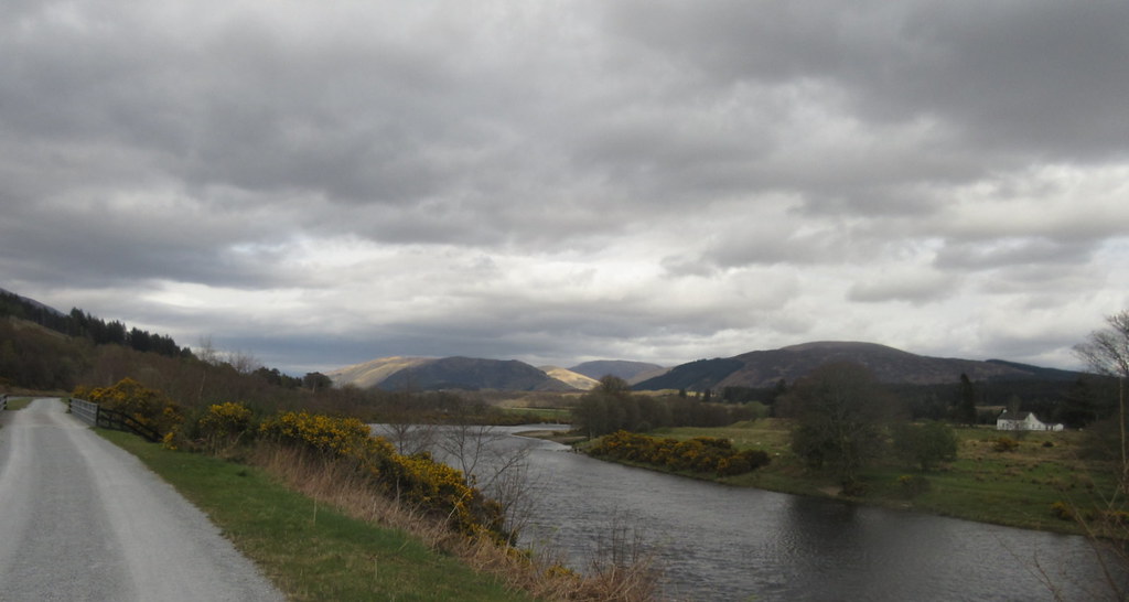
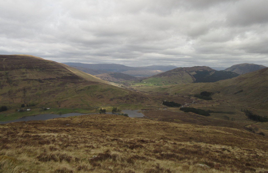
Back on the road, there was a short pull out of Gairlochy, then the scenery got steadily even better as I approached Achnacarry. I took a shortcut from the road to the head of Loch Arkaig here, although I had to make a minor diversion back to the road to pick up some coal that Alan had left under his van.
Grey Corries across the end of Loch Lochy:
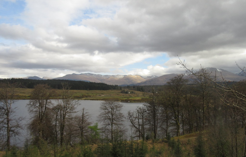
Shores of Loch Lochy:
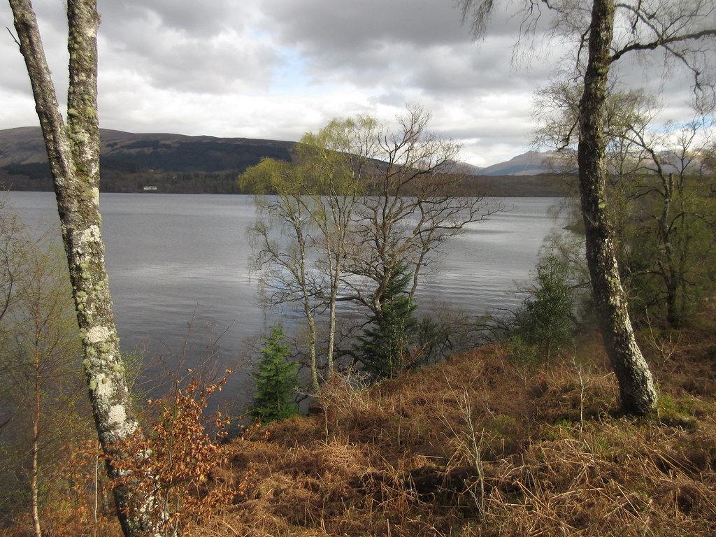
Looking west up Loch Arkaig:
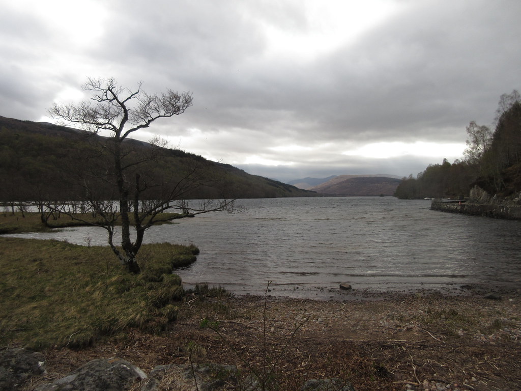
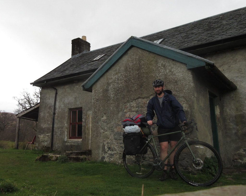
The cycle into Invermallie was familiar ground - it was only 13 months ago that I previously did it. So I was ready for a couple of annoying ascents on the lochside. Generally I was surprised how well all of my randomly-bungeed extra luggage had remained on the bike for the trip. The only point that anything came close to falling off was the bag of coal here, and that was only because I'd attached it quickly and carelessly.
Finally a photo of me - at Invermallie:
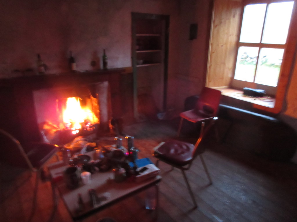
There was still plenty of daylight left when I arrived, and it was still sunny, but I was happy to sit down and spend the rest of the evening doing not much at all , other than idly chatting, watching the fire and drinking a couple of beers that I'd picked up in Fort William. Alan did the necessary with the fire, and although it was really stubborn early on, it eventually settled into a warming blaze.
Fire took ages to get going, but was well worth it in the end. Cheers Alan:
 Day 6 - Monday 24th April. 57 miles on the bike
Finally, the last day. I had enjoyed my trip, but was looking forward to going home. I didn't get up particularly early, but eventually I had my stuff packed up onto the bike. We said our goodbyes and Alan headed off first - to catch another quick bothy night in Northumberland on the way south. I thought I'd catch him up before he got to his van, but I dawdled so much over another cup of coffee, that he was away.
Beinn Bhan the following morning. Thought it would be a nice day at this point:
Bothy tidied, time to go:
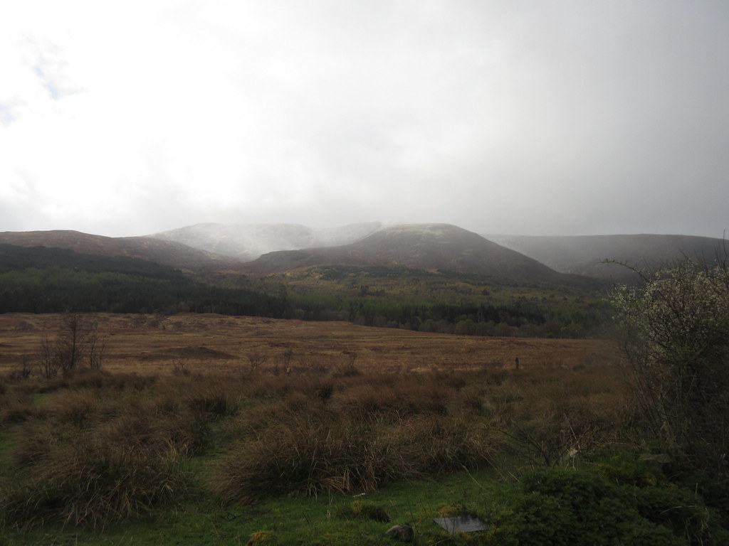
While the weather looked good early on, showers (with fresh snow on the hills) had moved in through the morning. I was concerned that the wind was due to swing around to the NW then N, which could potentially funnel straight down the Great Glen and make the ride tedious.
Seems to have snowed in the last 90 minutes on Beinn Bhan:
Packed up for the last haul home:

Wind getting up at the east end of Loch Arkaig:
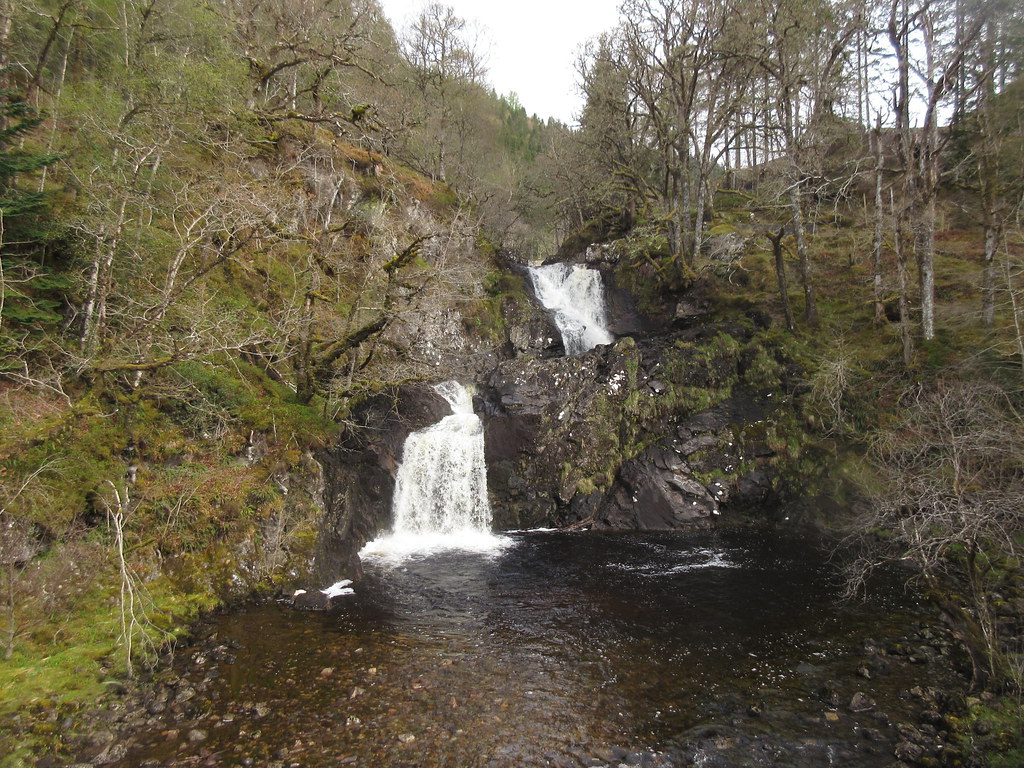
 IMG_1402
Eas Cha-aig:
The point where I would discover this was just after rounding the corner at Clunes. Here I hit the forestry track up the west side of Loch Lochy, where there were occasional bits of felling and heavy machinery, but mostly the surface was reasonably smooth. Although I was hit by a couple of gusts, I didn't seem to be relentlessly pushing into the wind, even if it had started sleeting. At Kilfinnan, I crossed over the canal and picked up the towpath here. It was nowhere near as smooth as the more southern section (or even a towpath really - lots of trees between the path and canal), but pleasant enough.
Grotty weather at the Laggan Locks:
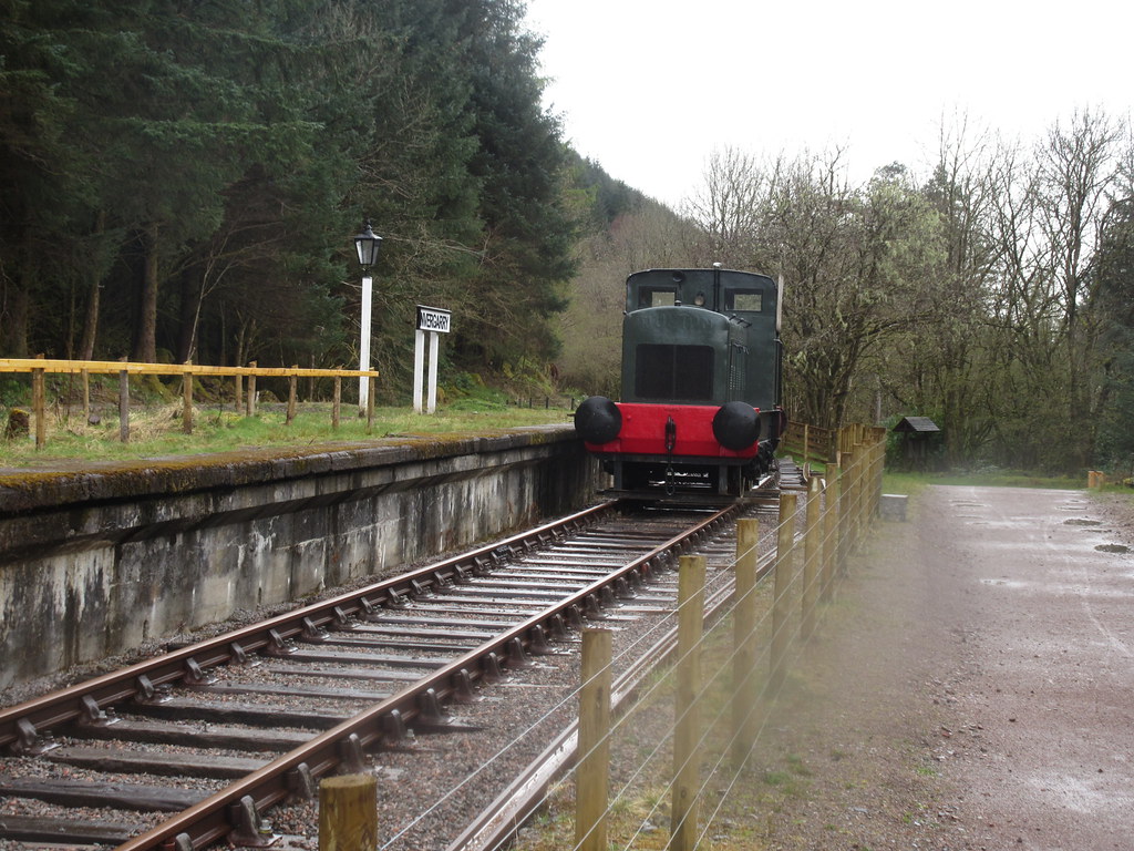
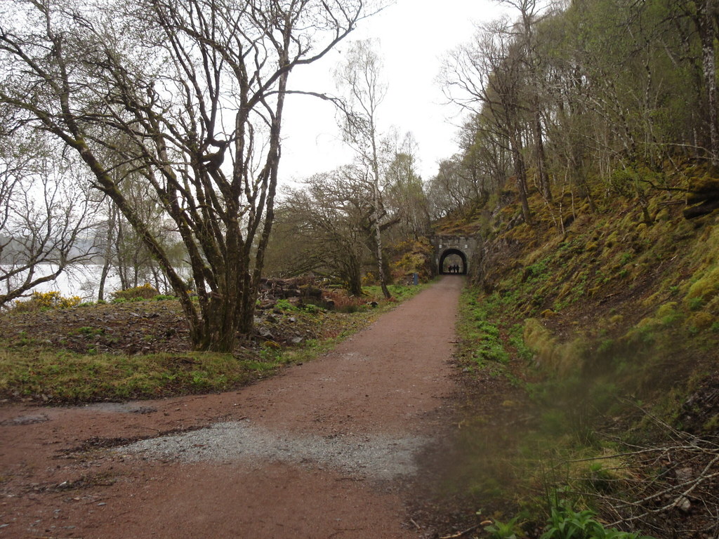
Across the A82 and behind the waterpark, I found the defunct Invergarry Station. While I had read about this before, I had always wondered where it was, as I knew the old railway didn't pass right through Invergarry. The old line has been upgraded into a nice smooth cycleway, and this hastened my journey to Bridge of Oich.
Invergarry Station:
Cycle path up the east side of Loch Oich:
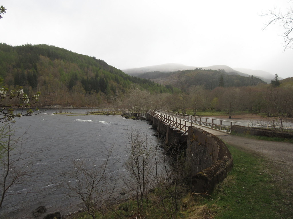
Back on the towpath again (nice and smooth again here) north of Bridge of Oich, the wind did seem to be turning more consistently against me, although it wasn't that bad. More sleety rain on and off made me glad to reach Fort Augustus. I wasn't really making a particularly speedy pace here, but it had taken me a little over 2 hours to get here from Invermallie, and I felt quite close to home.
Caledonian Canal between Bridge of Oich and Fort Augustus:
I was glad of a stop off in a café for some chips and a sandwich, the better to fuel the big pull up to Glendoe and Loch Tarff. Having done this ascent earlier in the year without pannier racks full of stuff, I wasn't overly looking forward to it. As soon as I left Fort Augustus it began to snow.
Actually, it was fine. Some roadworks and traffic lights on the way up disrupted the flow a bit, but again it was a case of just plodding on in a low gear until there was no more up. When I reached the top of the hill at the Suidhe viewpoint, it was still snowing, but I could see lighter skies ahead
Top of the Suidhe viewpoint above Loch Tarff - mostly downhill from here:
Lovely first stretch of downhill:
It isn't all downhill by any means from here, and there were still over 25 miles to go, but it felt like the home stretch. A great downhill into Whitebridge was followed by relatively gentle cycling on through Errogie and Farr, before the last short climb over the Drumossie Muir. Although the wind caught me at times, it never seemed to be dead against me like it had been on the approach to Fort Augustus, so I was happy.
I finally rolled into the driveway mid-afternoon. After today's cycling, my feet were like blocks of ice. Gill thought I was going to get cold feet on my trip, but I had confidently told her that it wouldn't happen unless it snowed. Dang!
After a 20 year break, an enjoyable return to cycle touring for me. The bike and luggage mostly stayed together and I didn't get any punctures. I hardly had to push up any hills, and compared to a week of backpacking, my joints and muscles felt far less abused. For the most part, I managed to avoid the really busy roads and the traffic never really spoiled the enjoyment. On the downside, packing to get to bothies wasn't very successful (although the ones with vehicle tracks right up to them were fine), and I spent more time getting packed and unpacked than I would have liked. Although the weather didn't play ball all the time, even if it had I would have struggled to squeeze in as many Marilyns along the way as I had planned.
Pretty sure I'll be at it again before long though. I can see all sorts of possibilities starting from Gourock, Wemyss or Ardrossan and crossing Cowal, Arran, Knapdale, working up through Argyll to Seil and Luing, then perhaps onto Mull and Ardnamurchan. Plenty of Marilyns to nip up on the way past down there too...
