free to be able to rate and comment on reports (as well as access 1:25000 mapping).
I hope we all appreciate the effort that went into dreaming up the title of this walk report, I thought it was rather original. When you are huffing and puffing uphill you have plenty of time to mull over walk report titles

By the way I haven't written any letters to Mr Blair

Having missed out on the majority of the recent dry spell, I had a spare slot to escape the doggy sitting and family commitments and the forecast was OK

I am still bumping off some of the nearer hills and after studying the map I came up with a plan to kill 3 birds with one stone or in one outing.
My plan involved tackling all 3 hills in what I would describe as the most direct approach, this would involve driving from the parking area for Badandun to the small parking area that would enable me to tackle the other 2 from the same spot.
Badandun Hill - 1hr 30mins, 425m, 4.10km
Badandun Hill
Mealna Letter - 1hr 50mins, 400m, 6.70km.
Mount Blair - 1hr 20mins, 400m, 4.5km
Mealna Letter & Mount Blair in a oner
I left Fife just before 8am and the Satnav told me it will take just over an hour to get to the parking area and it was correct as usual
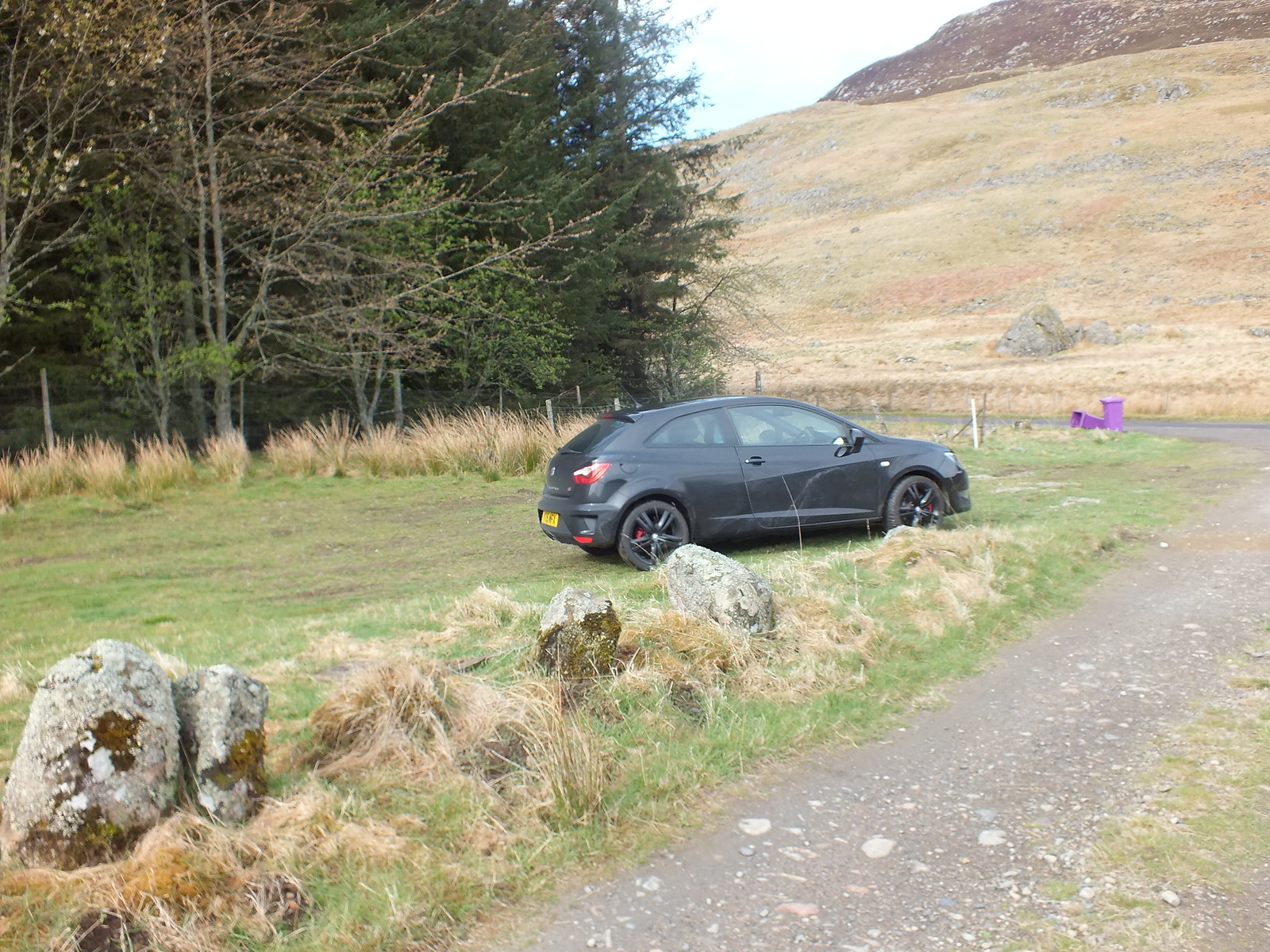
Parking area right at the start of the track
Love the purple coloured bins
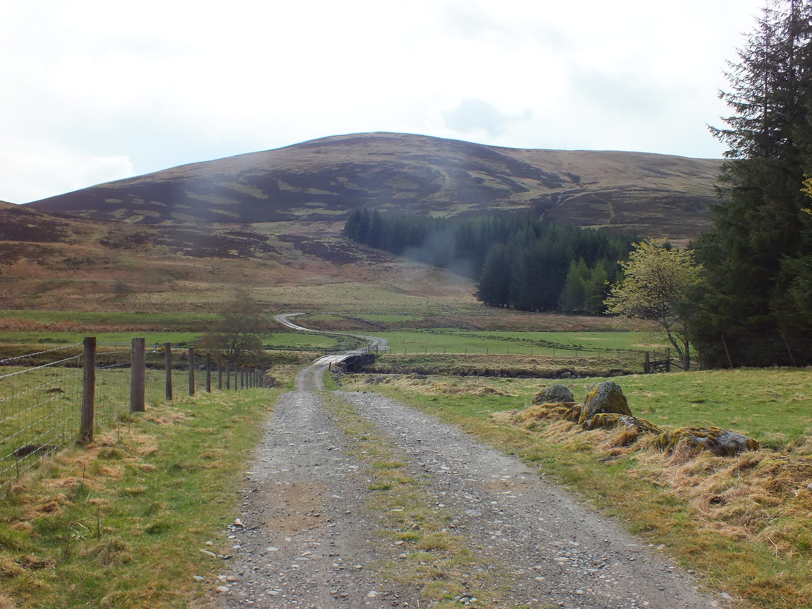
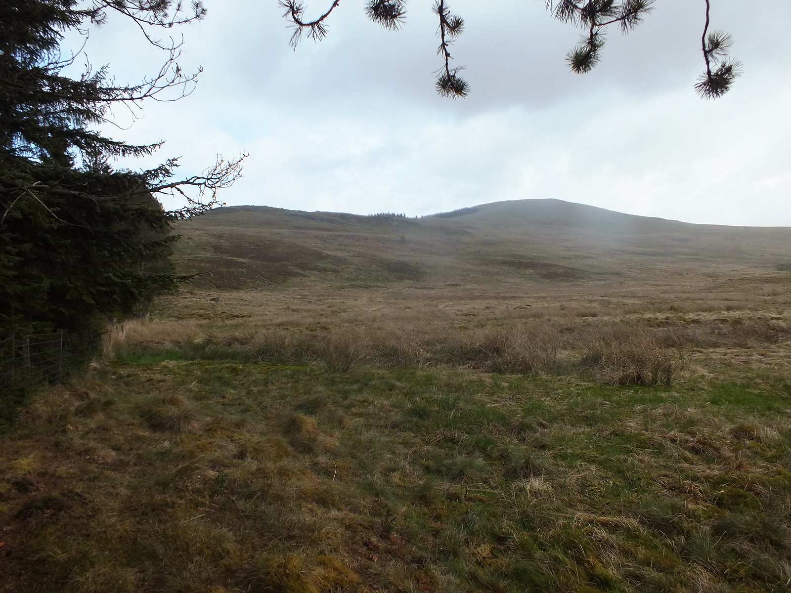
The way ahead with Badanum Hill straight ahead
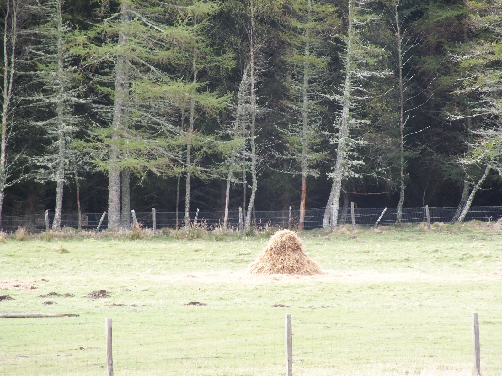
Random pile of straw
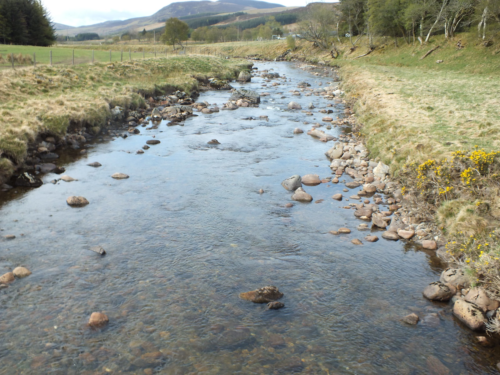
River Isla would be challenging to cross without the bridge
I was on my way towards Badandun at 9.15am. There is a good track and a bridge over the River Isla and then into the farm area of Fergus. Once past the farm the track rises fairly steeply through a small wooded area, my plan was to leave the track once out of the wooded area and basically just go for it
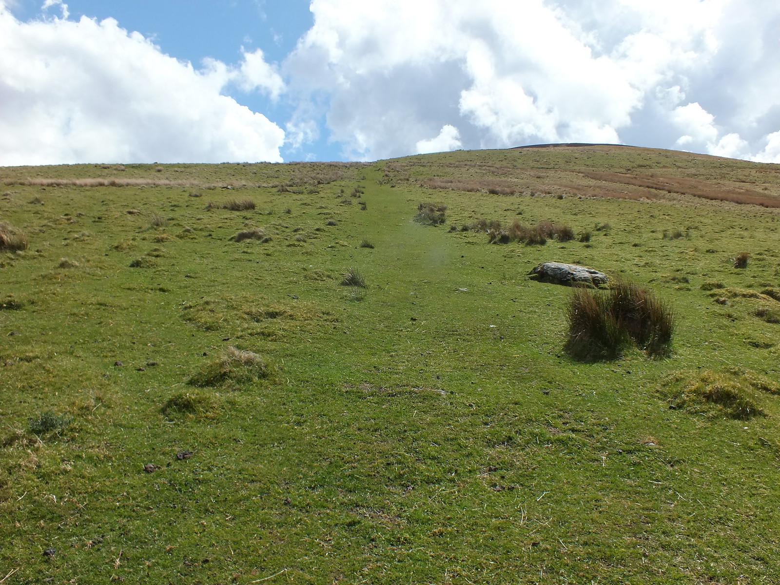
After crossing Fergus Burn it is then just a matter of trudging uphill through the heather and some soft grassy areas.
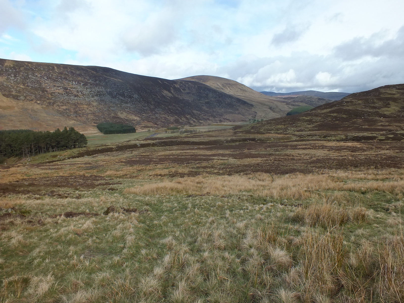
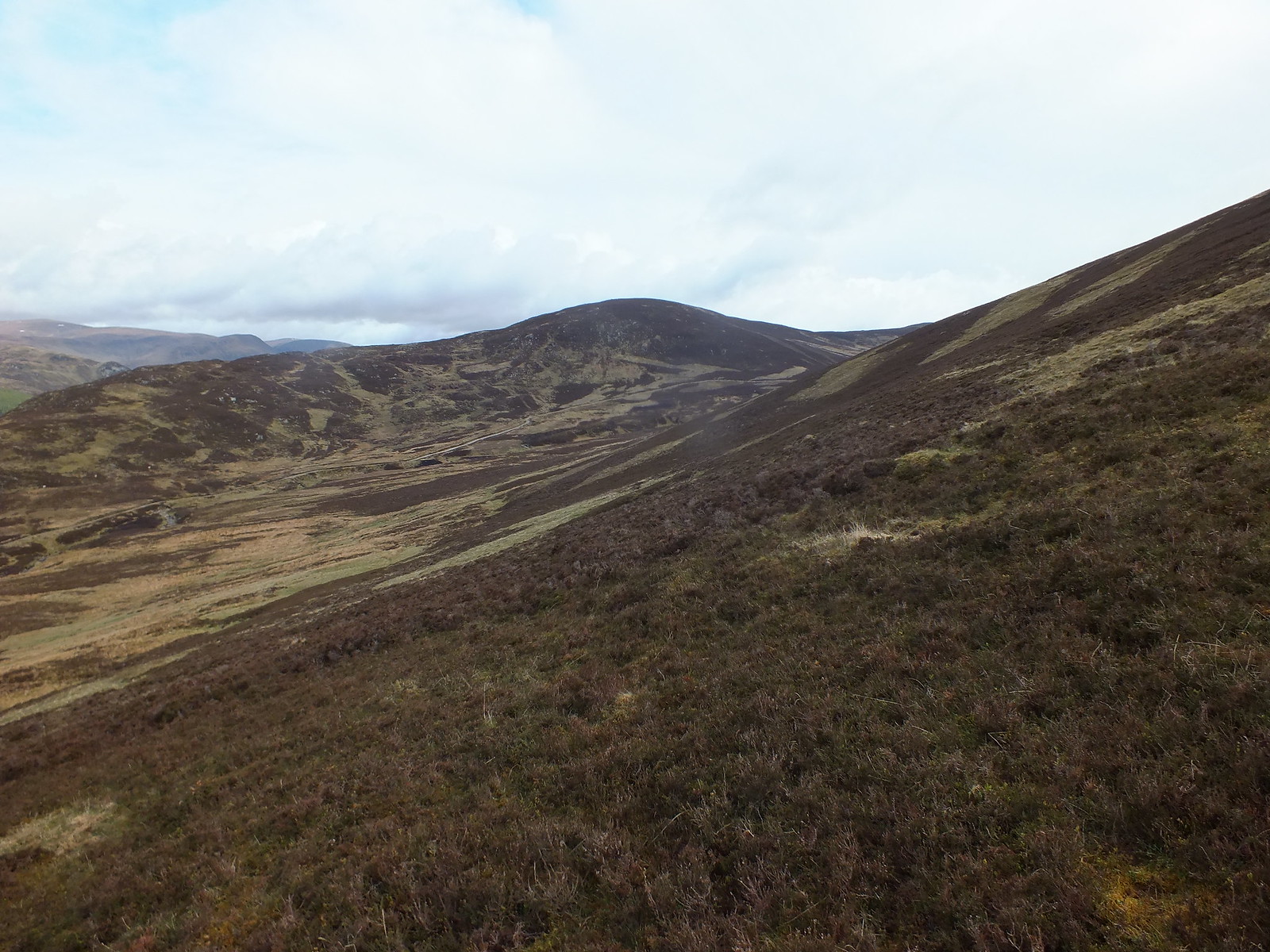
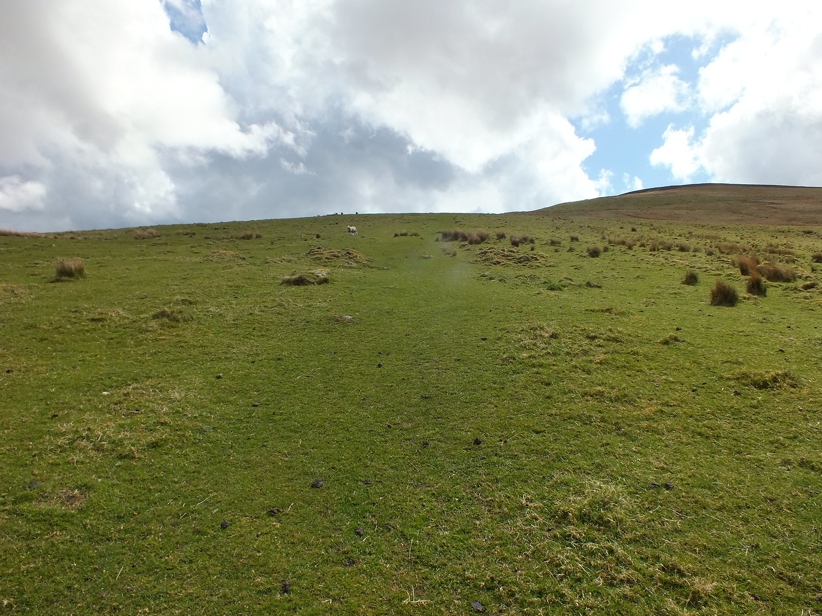
Looking back after leaving the track
Similar shot from slightly higher up
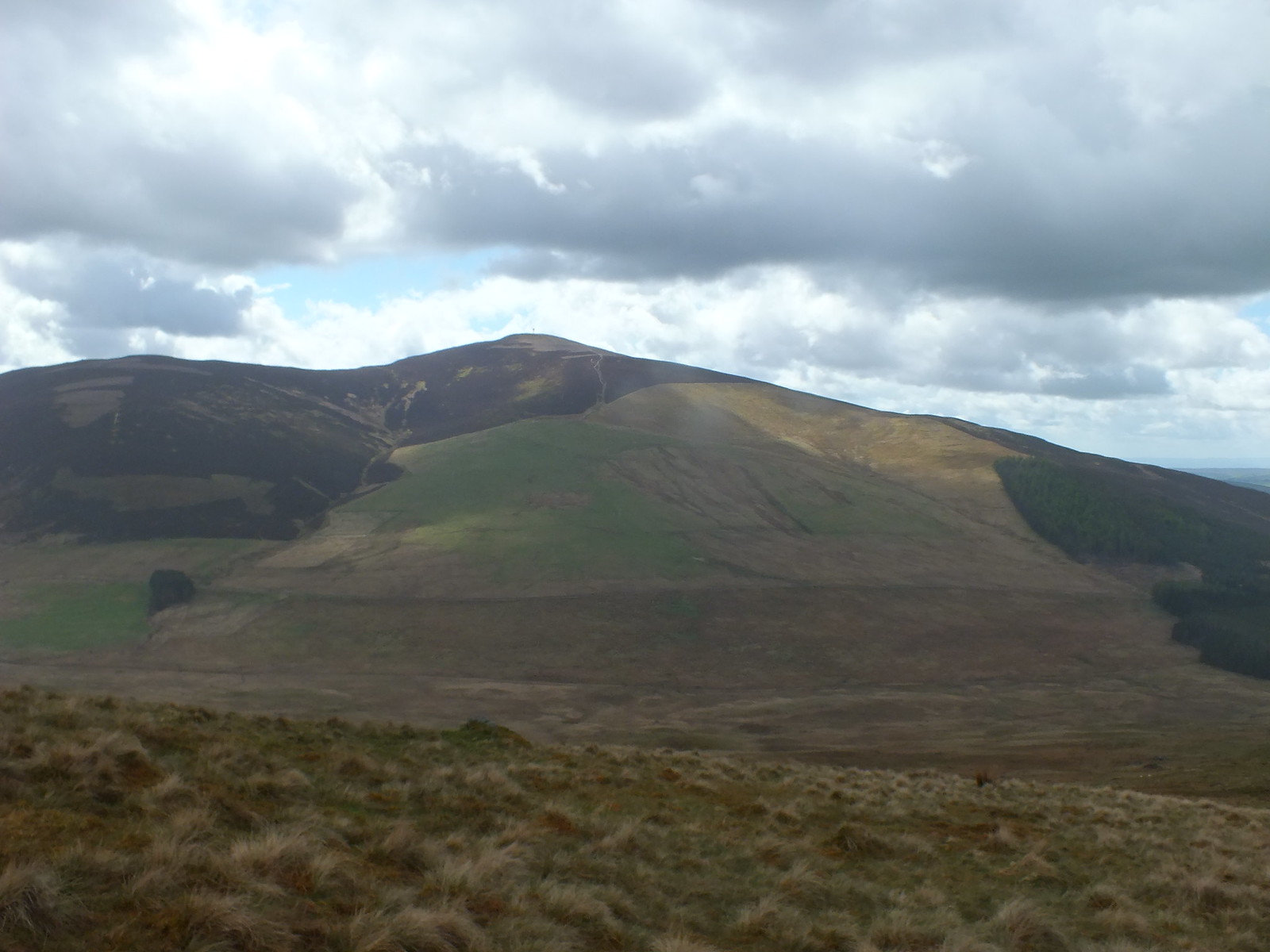
Next hill Mealna Letter zoomed
And the final hill Mount Blair zoomed
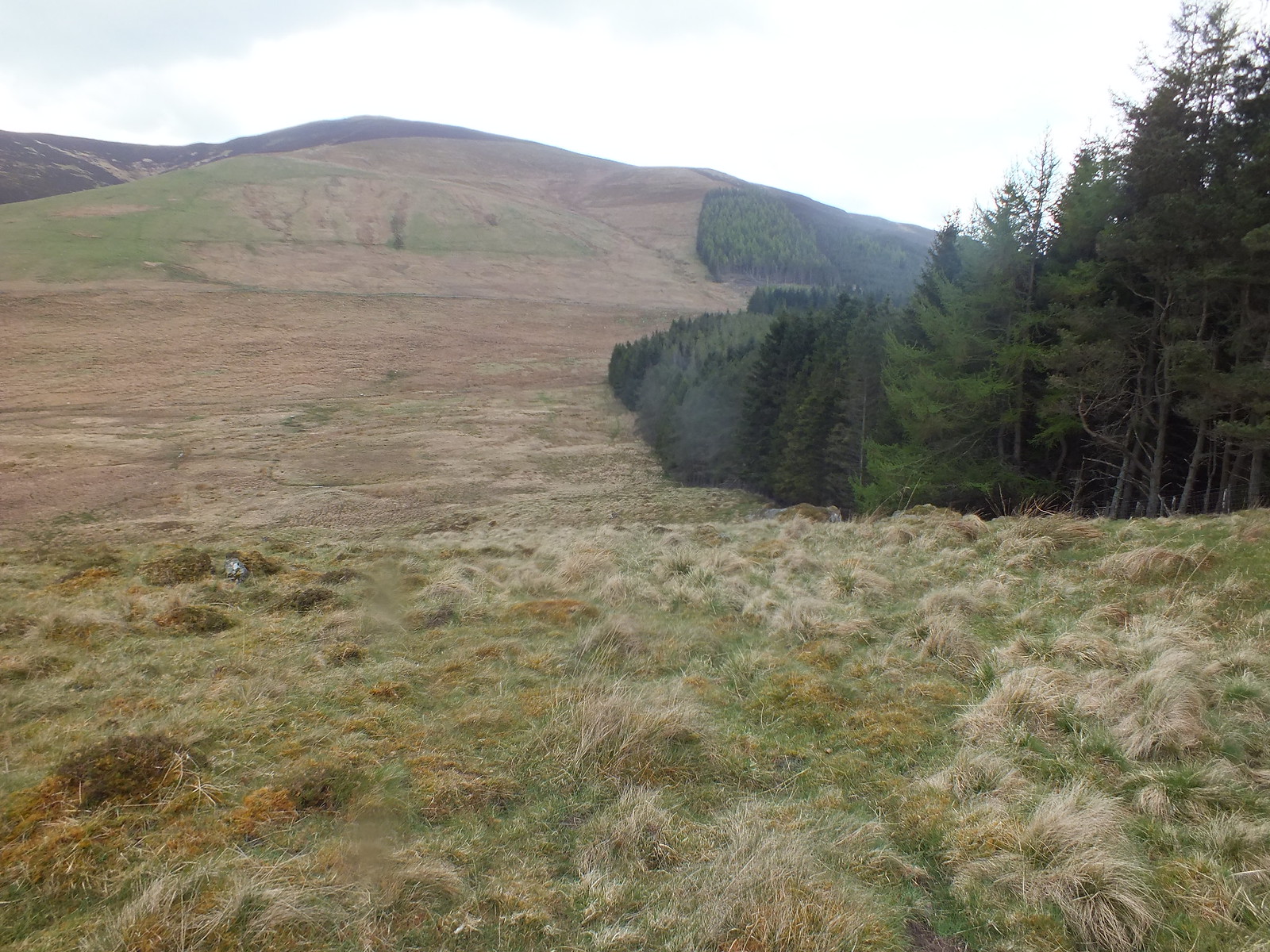
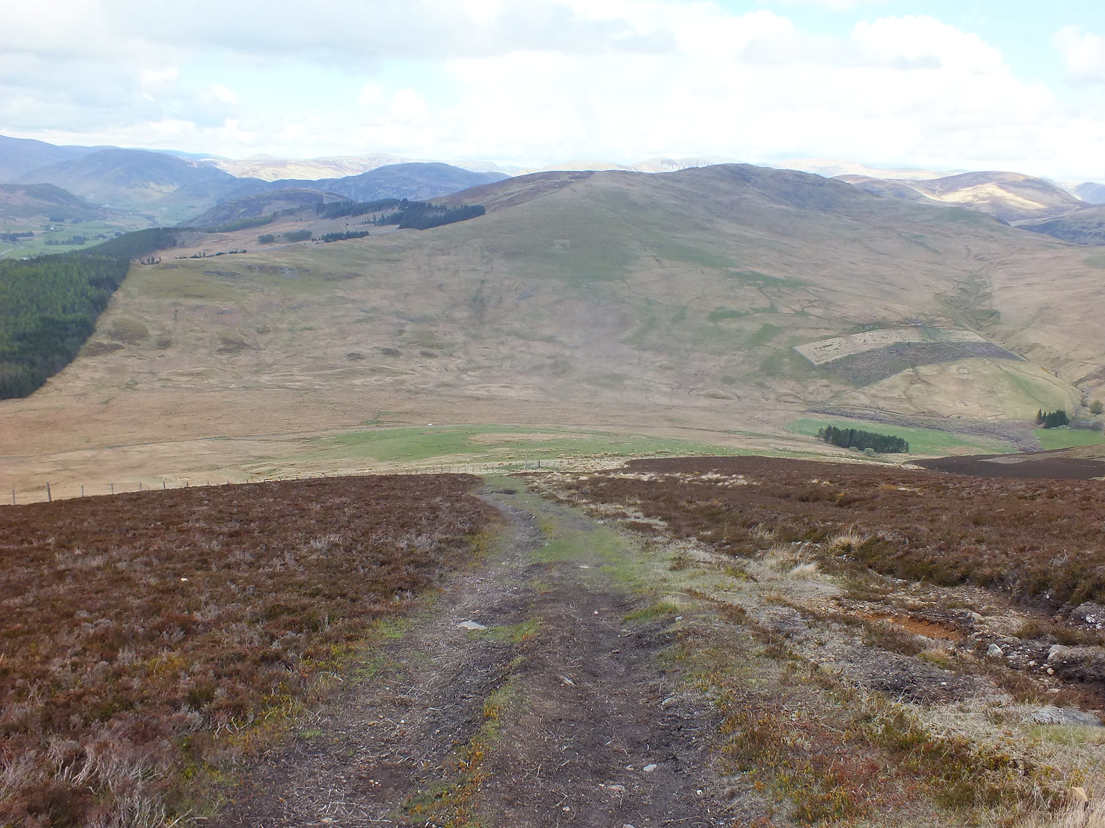
Looking north and you can see the track continuing
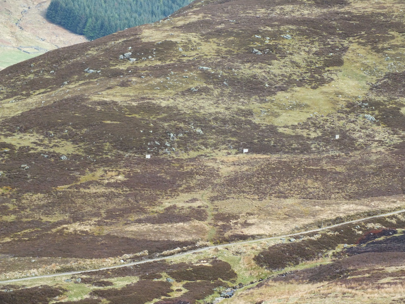
A few shooting spots on the other side of the track
Looking back down to the start
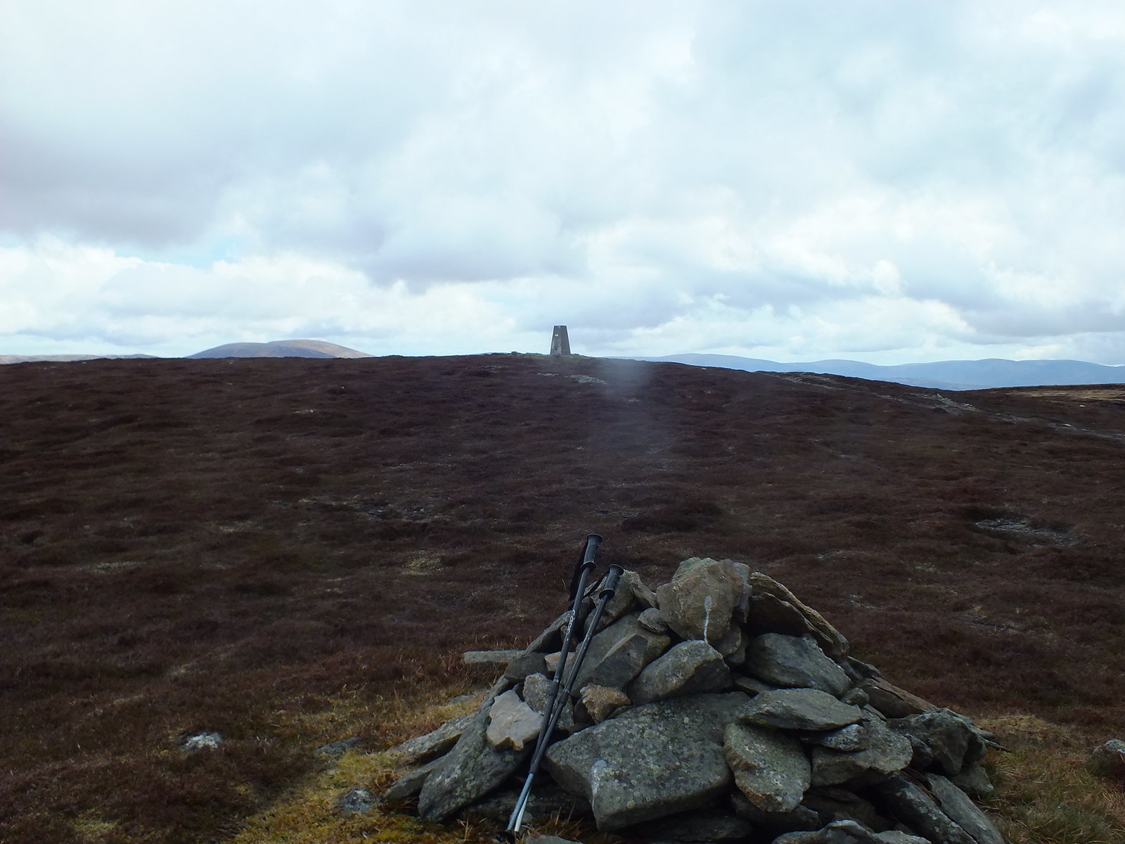
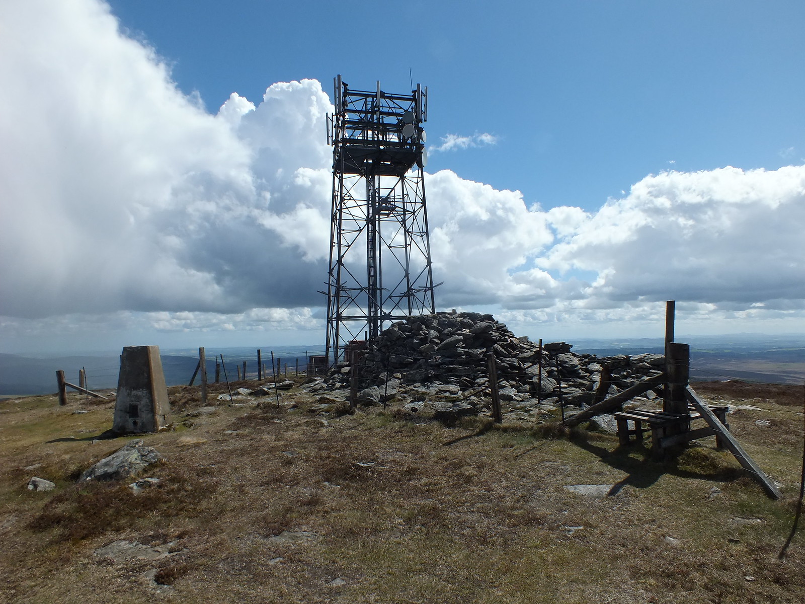
Summit trig
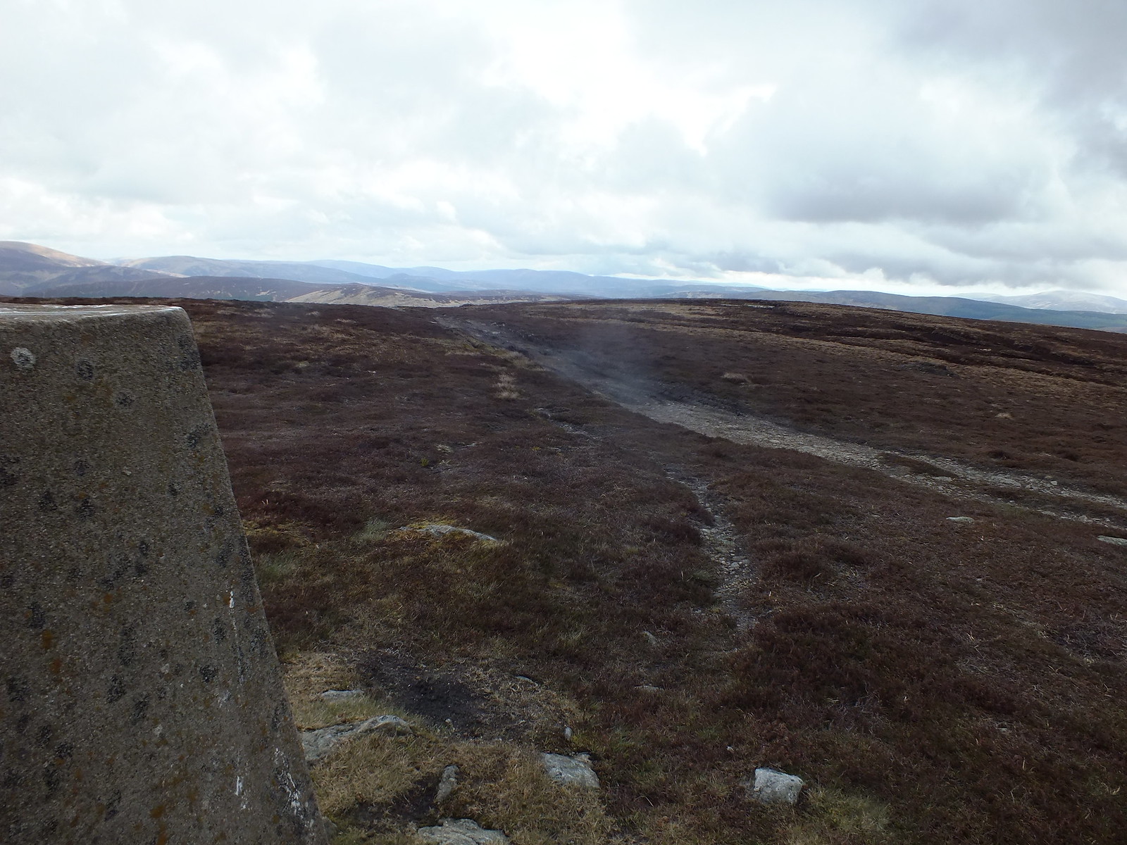
A bit like a motorway going past the summit
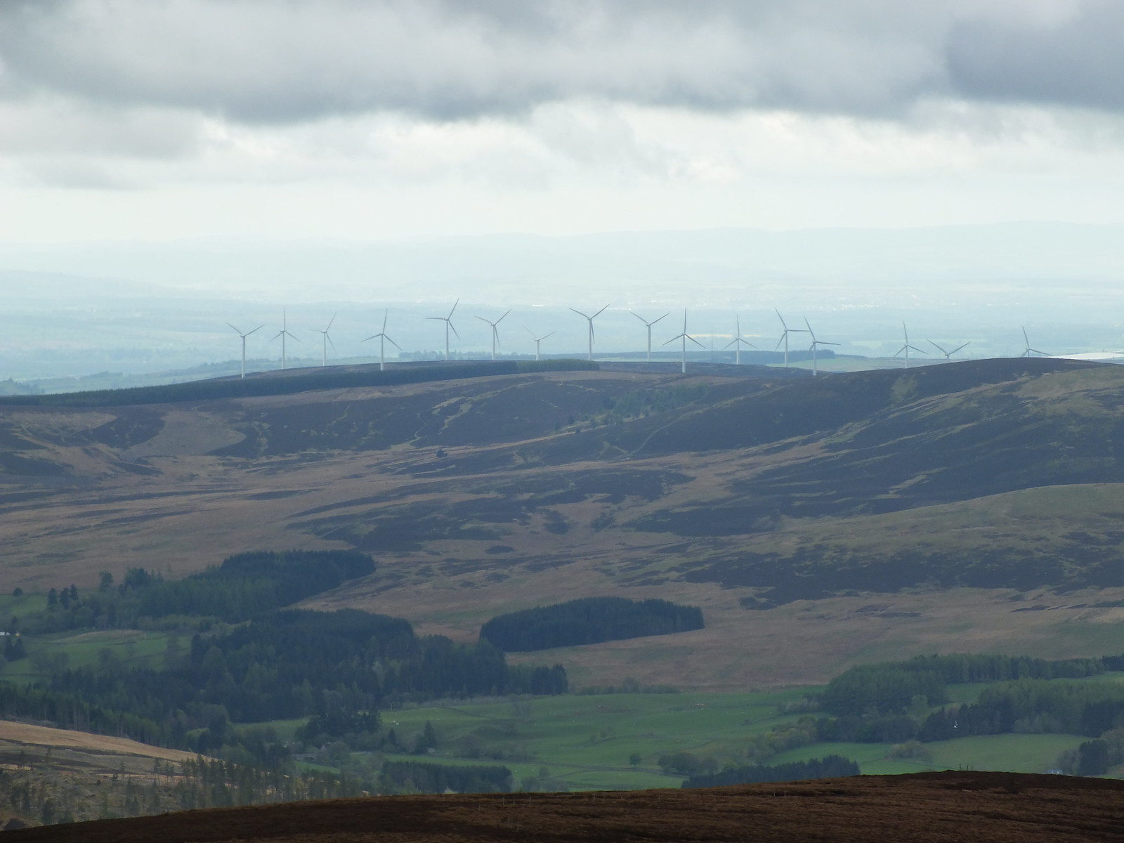
There aren't many summits where you don't have the pleasure of admiring these machines
A few stops for photo's and to catch my breath and in less than an hour the summit trig came into view
After a few more photo's, especially the next two hills which could be seen clearly, I headed down. Descending on heather is, in my opinion the best and easiest way to descend, nice and soft underfoot.
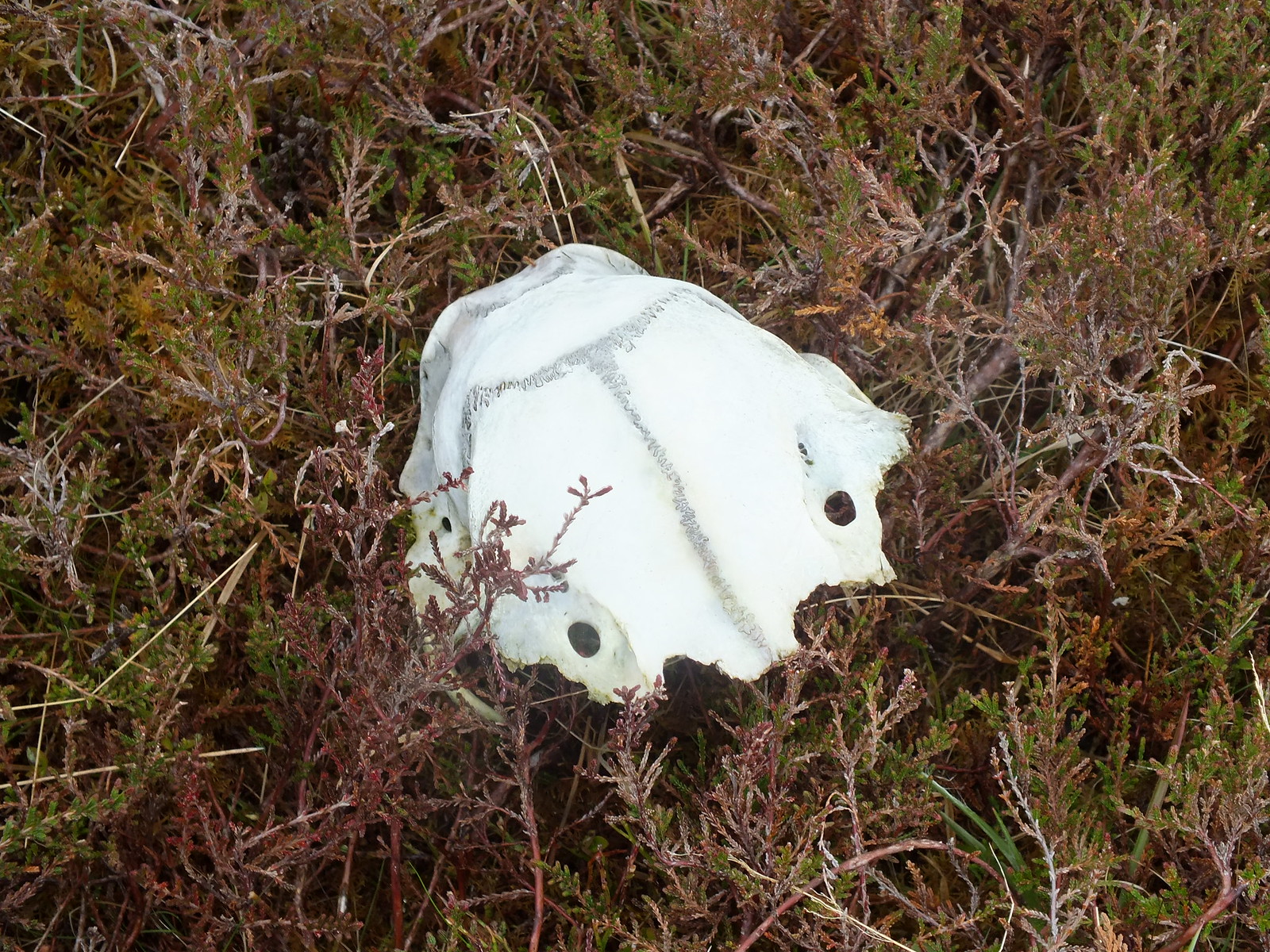
Came across this wee skull on the descent, any suggestions?
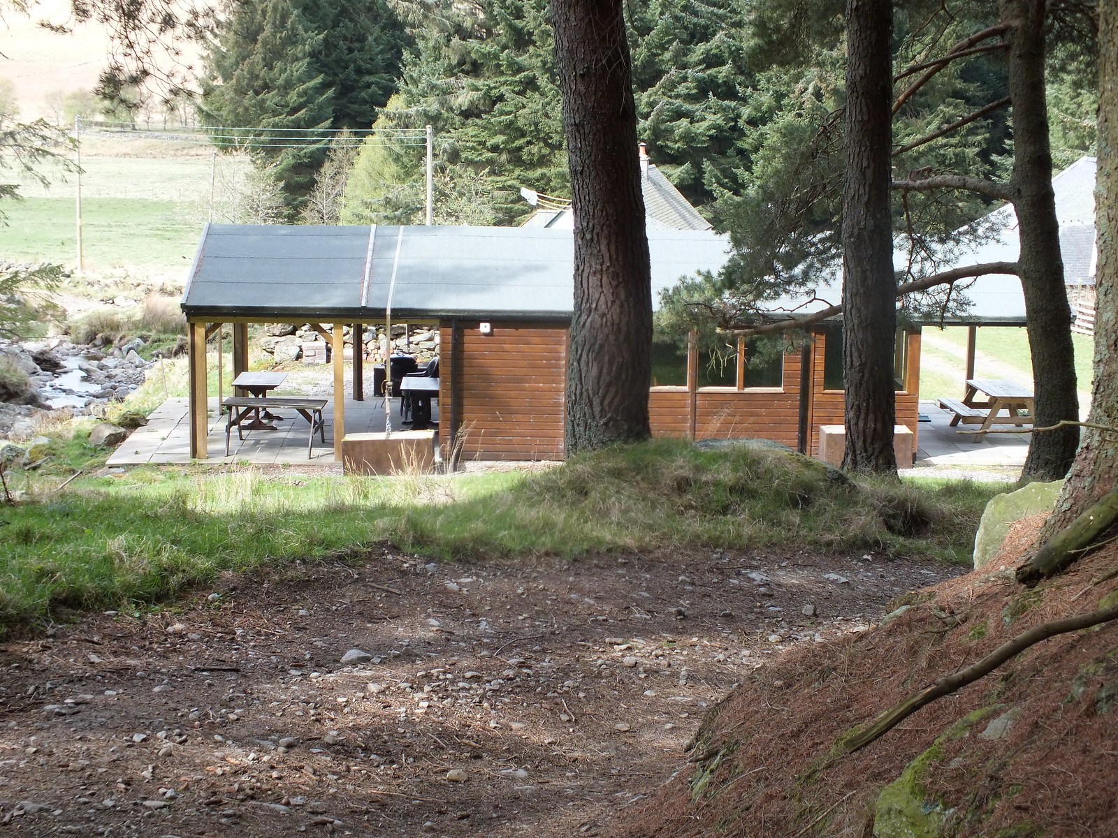
Nice location for a chalet, presume it is available to rent/hire. Love the straps holding the roof on
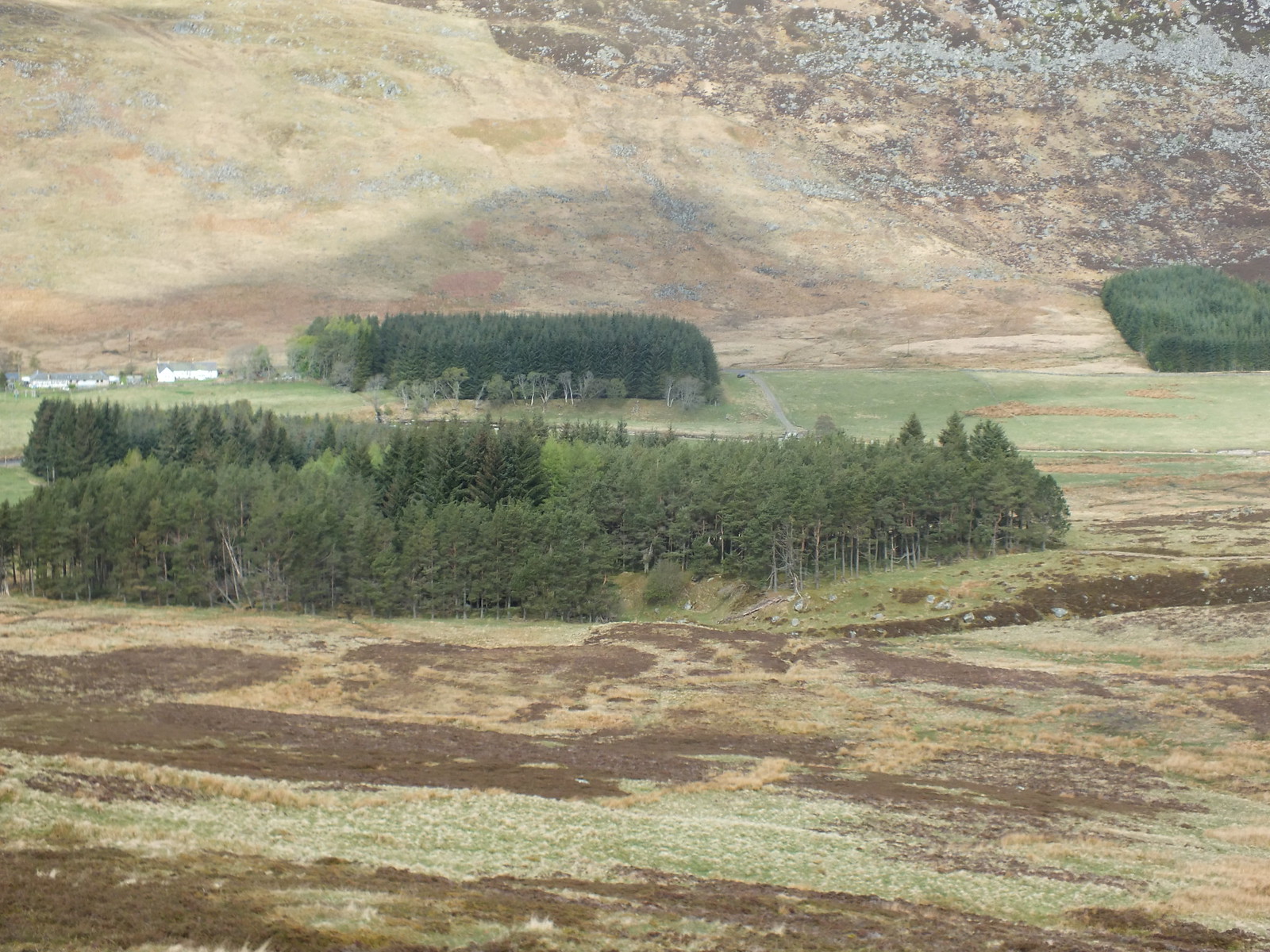
Once back at the car I kept my boots on chucked all my gear in the boot and drove the 8 miles to the small parking area that would double up as the start point for the next two hills.
My plan was to tackle Mealna Letter or Duchray Hill first and the initial part is a bit of a bog trot, luckily it wasn't too bad but I can imagine after a spell of wet weather it would not be fun

Once on the higher ground the underfoot conditions improve. The ascent up Mealna Letter is fairly easy albeit longer than the other 2 hills, I only stopped a couple of times for photo's and to put on my jacket as it started raining
One of the few photo's before the camera was bagged on the ascent, showing the way ahead.
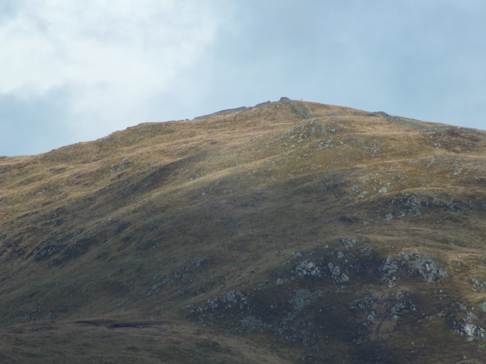
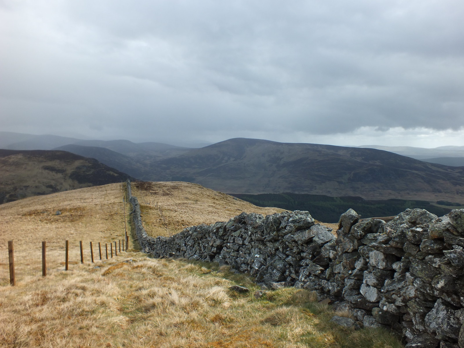
Looking back down, it is just a matter of following the fence, then the wall uphill
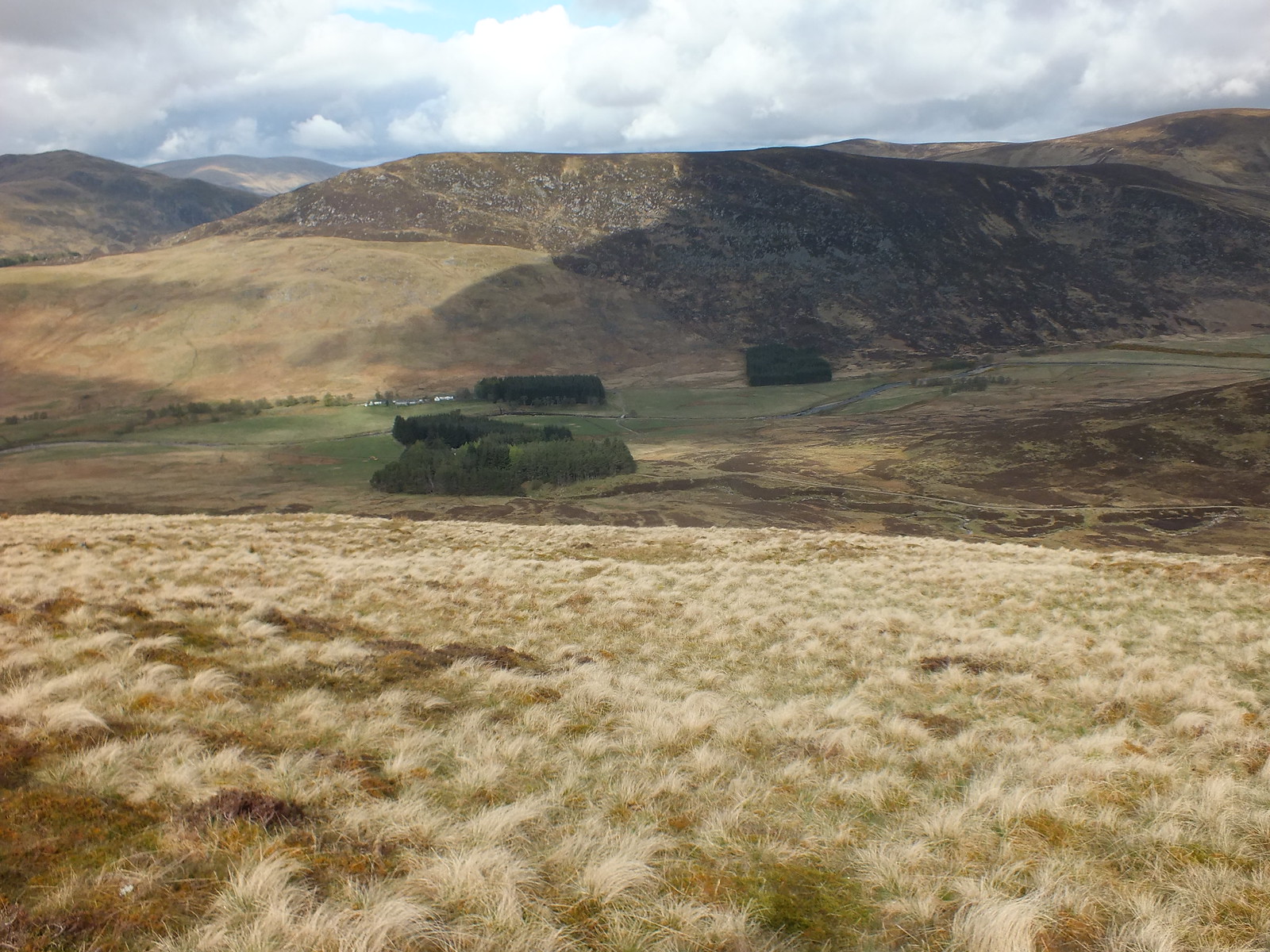
Looking south and back down from a bit higher up
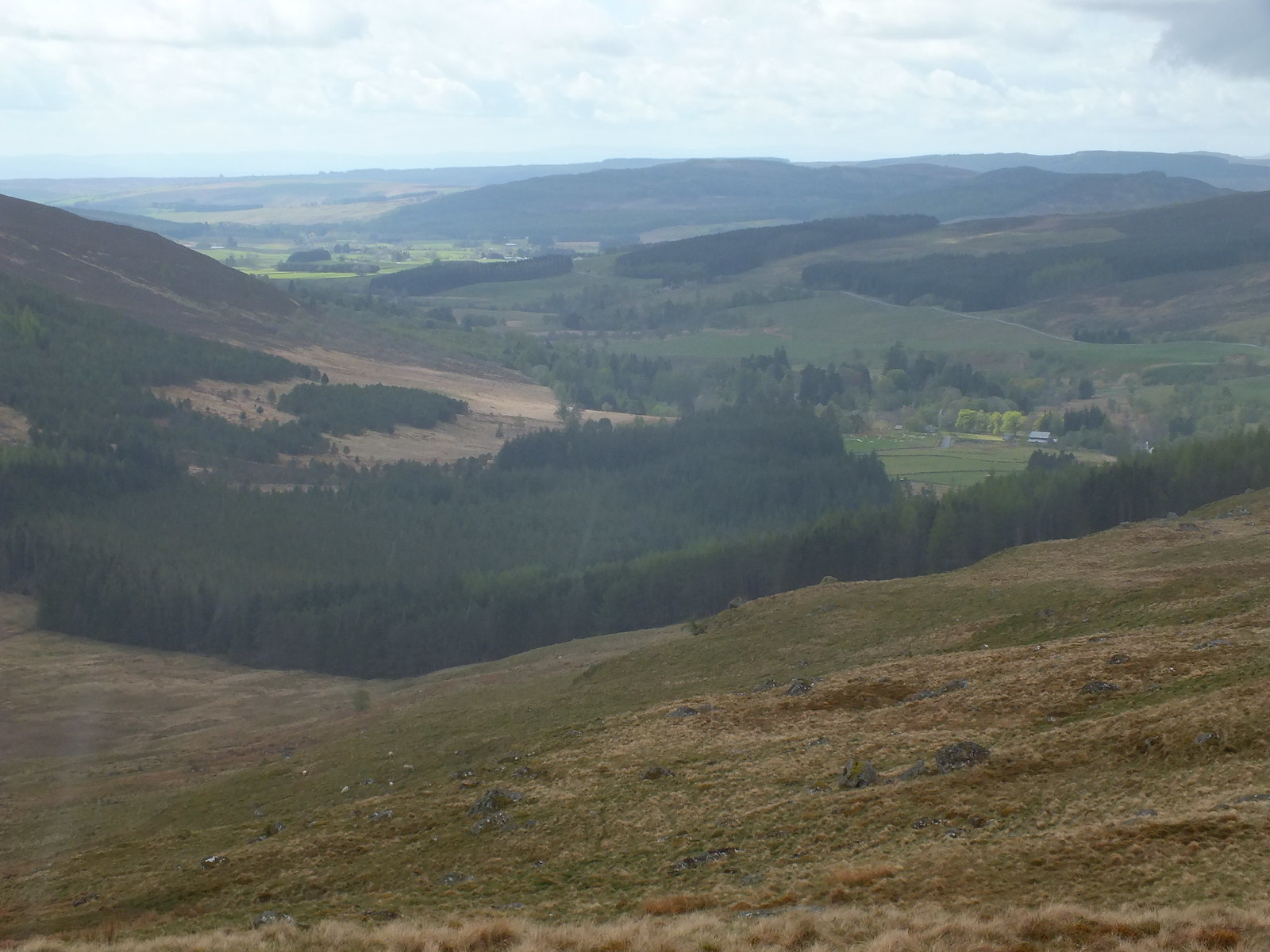
Looking across to Mount Blair and it looked along way away
Looking south
Nearly at the summit
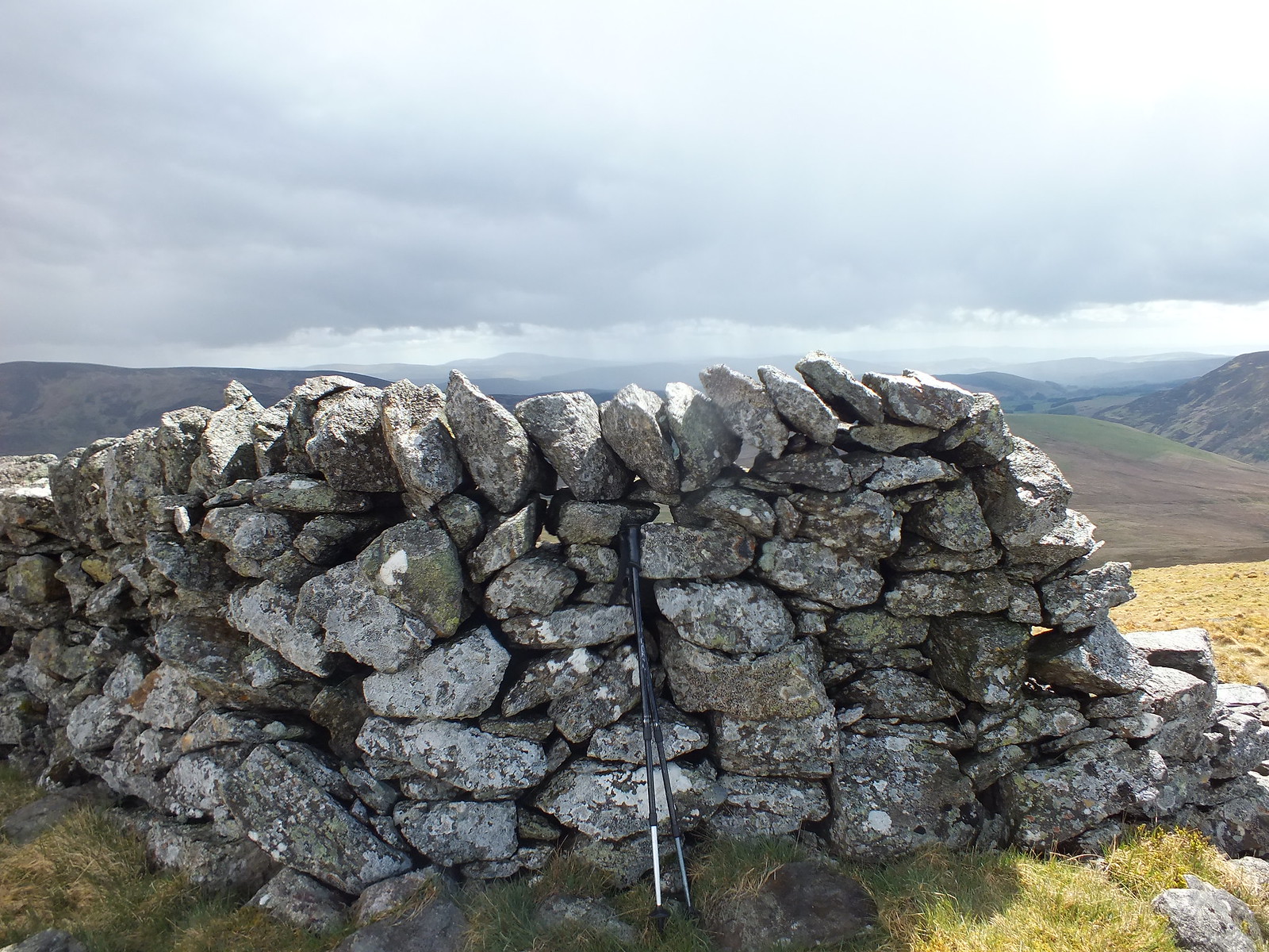
Summit/high point of Mealna Letter, in my opinion
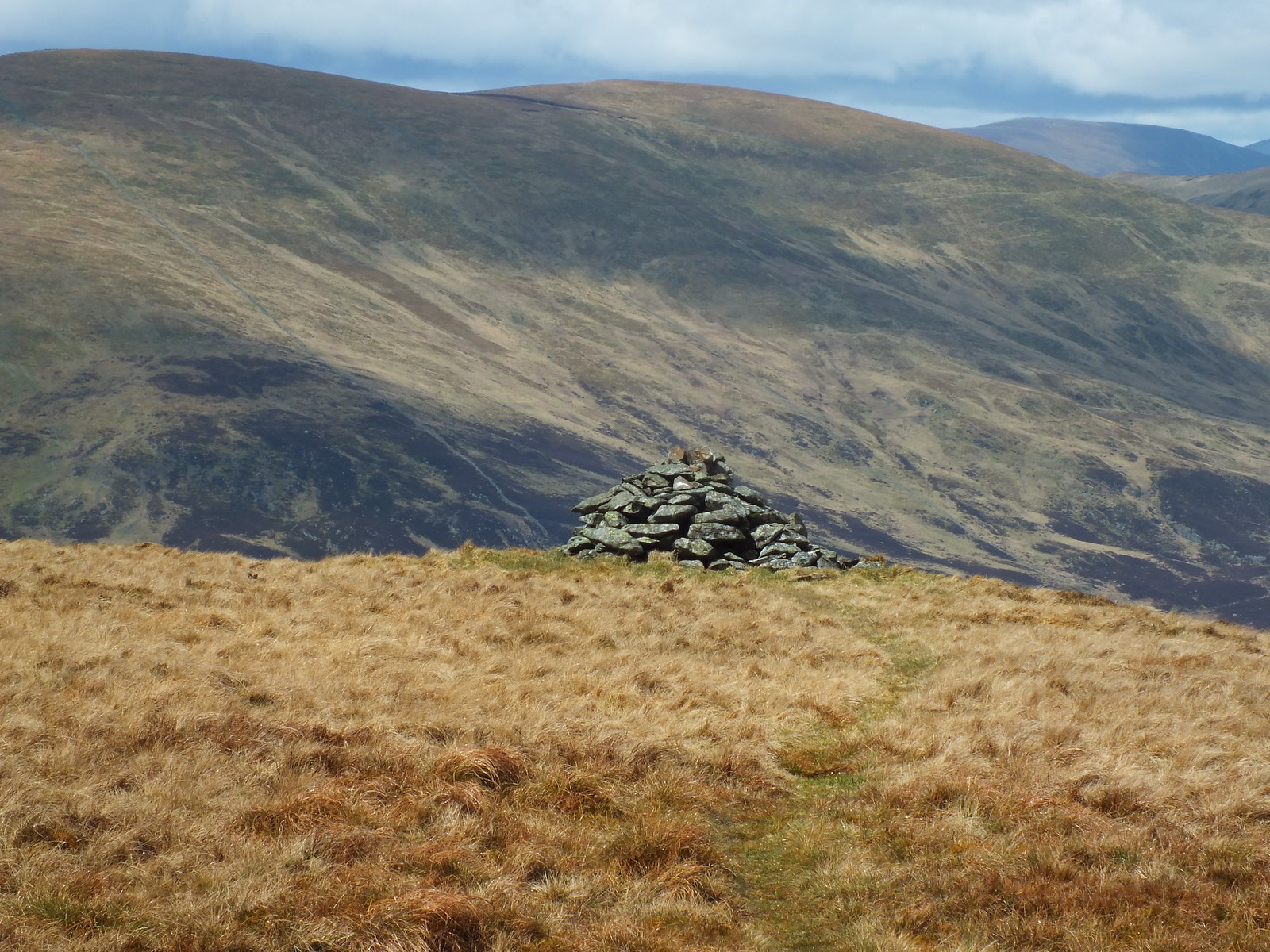
Downhill path to the cairn
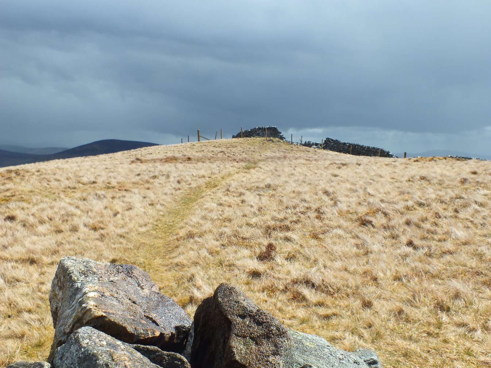
Looking up to the wall
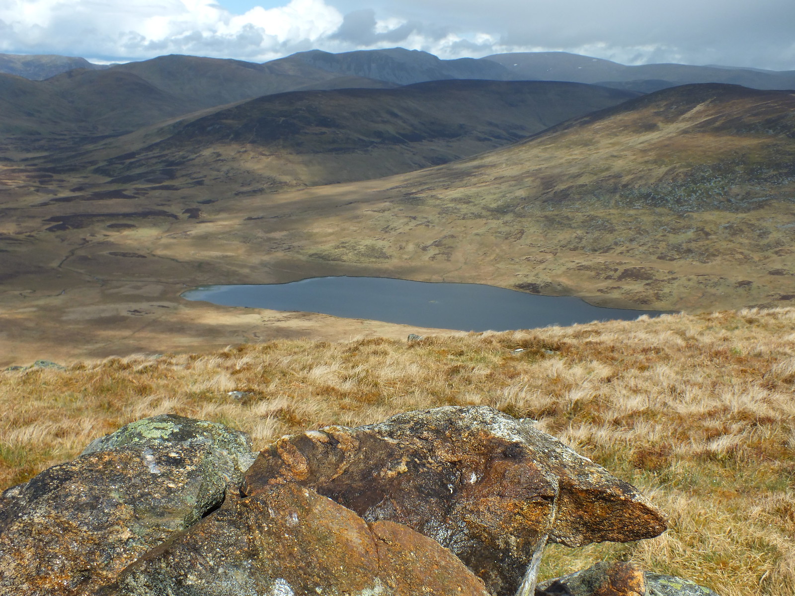
Looking north and over Loch Beanie
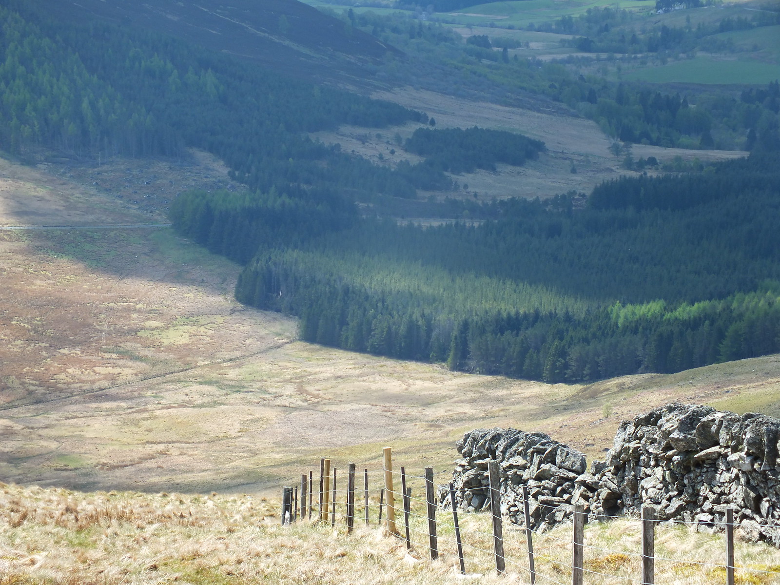
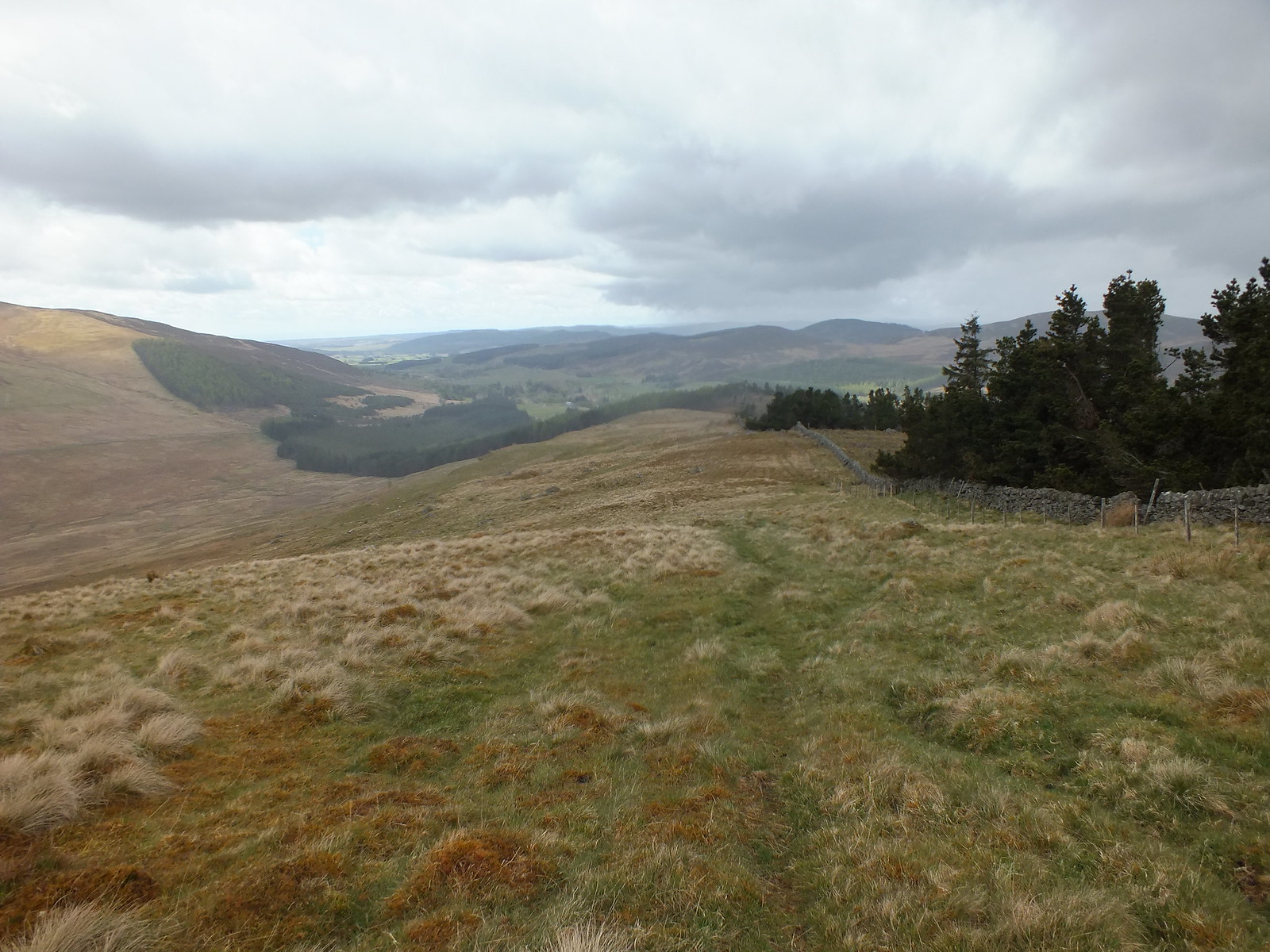
Heading down towards the road
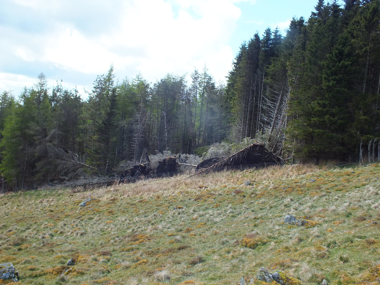
A few uprooted trees
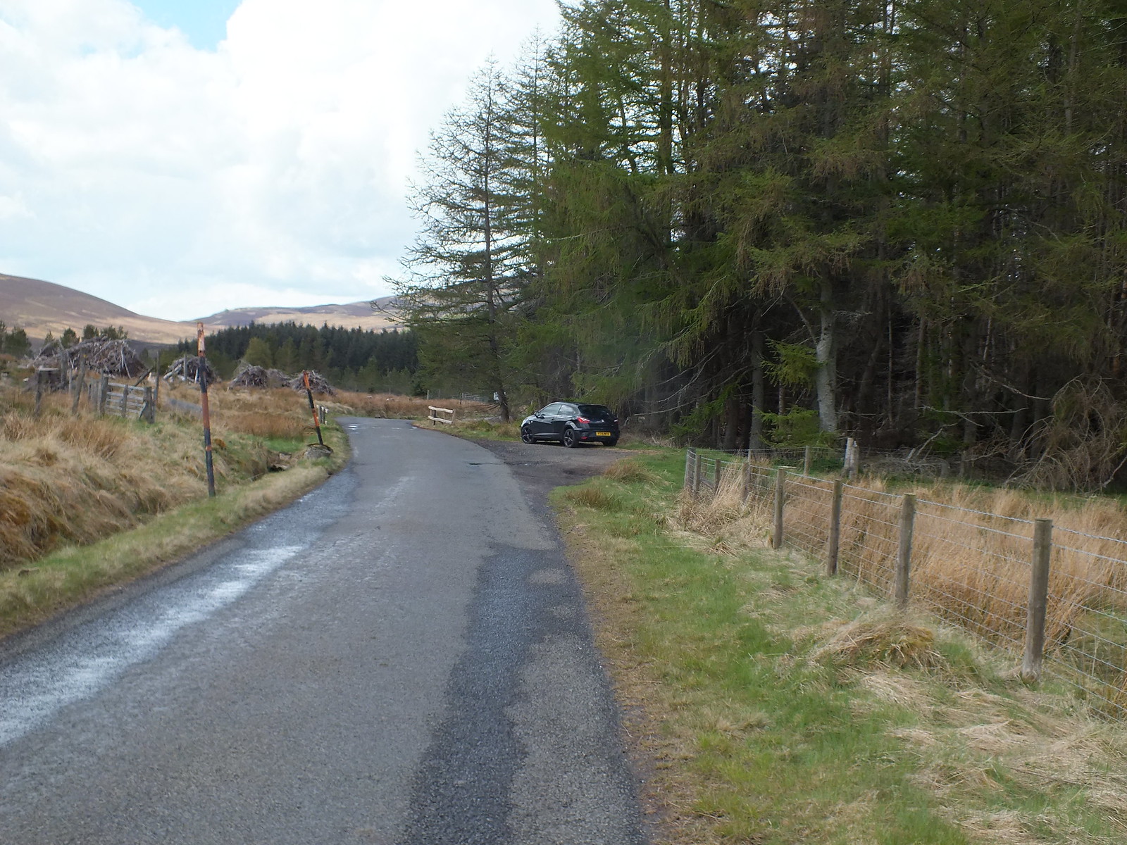
Small parking area for Letter & Blair
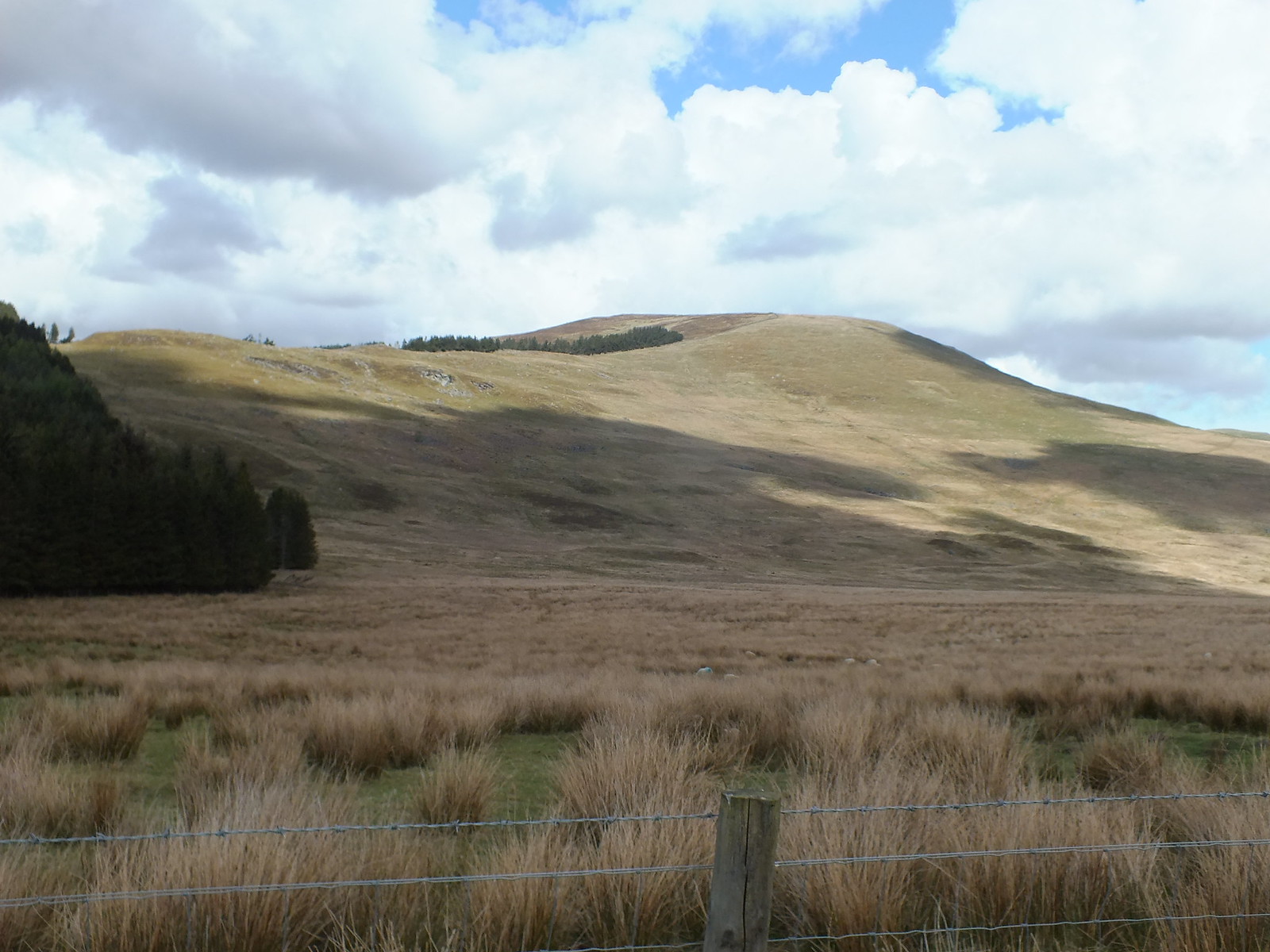
Last look up to Mealna Letter
Once back at the car, I ate my lunch quickly and then walked along the road for about 400m before reaching the gate that is easier to climb over than open - I did open it on the way but it wasn't easy, so I elegantly climbed over it on the descent
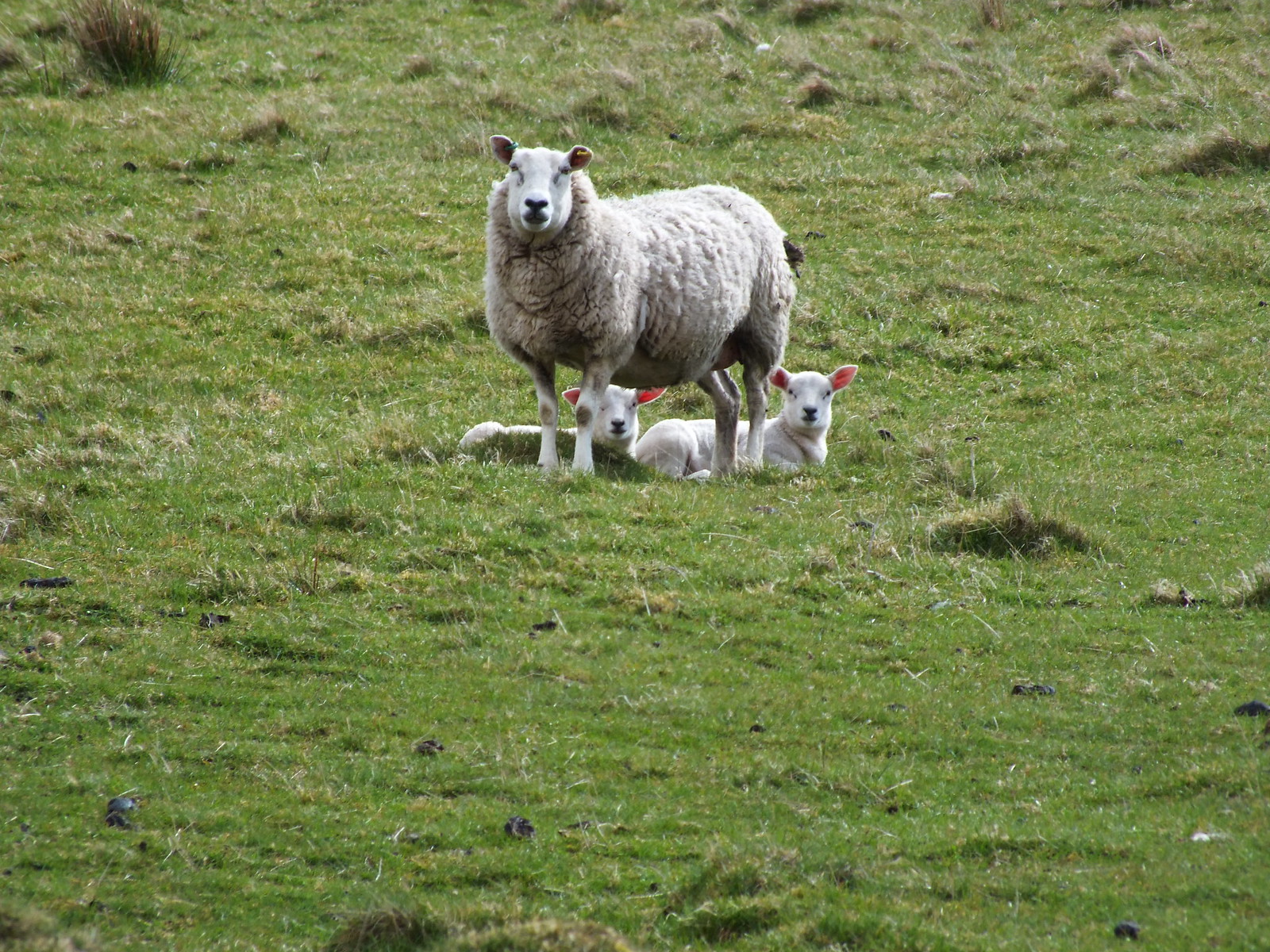
The locals watching my every move
The way up Mount Blair - steady incline and the majority of the ascent is on this firm short grass. Be prepared for 400m of non stop 'upness', the good thing is the summit is soon reached
Just in case you didn't believe me - here is the track a bit further up
The latter part of the ascent turns into a track, here it is looking down
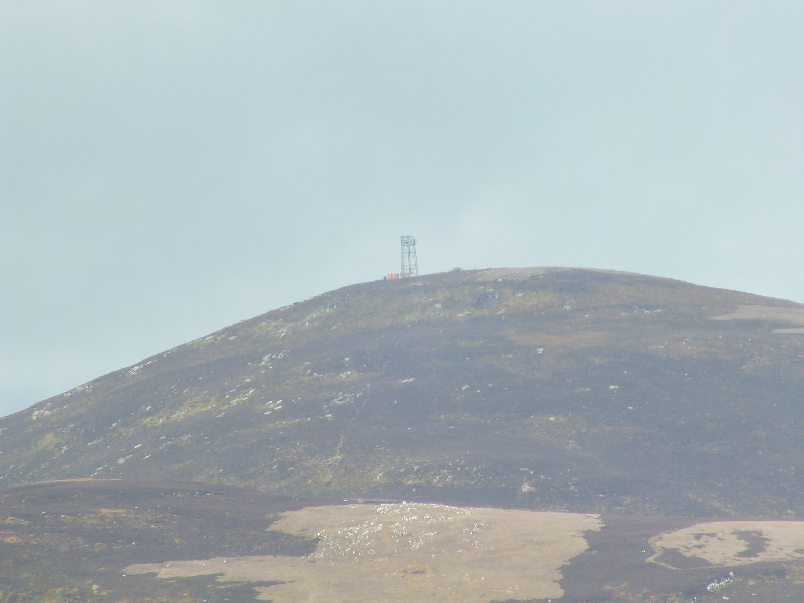
The cluttered summit of Mount Blair
When I reached the summit of Mount Blair not only was it a bit chilly it was also rather blowy, I did take a video but it isn't good enough to post, not only is it a bit wonky but the wind noise isn't very pleasant - haven't got round to the technical side of attaching nice music to videos yet
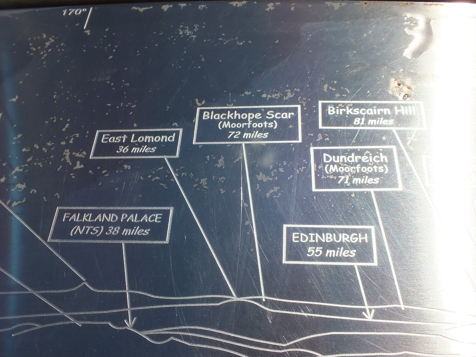
There is a shelter on the summit with a circular map telling you how far certain places are - as the crow flies. Considering I am north of Edinburgh and the Satnav worked out that it is 65 miles

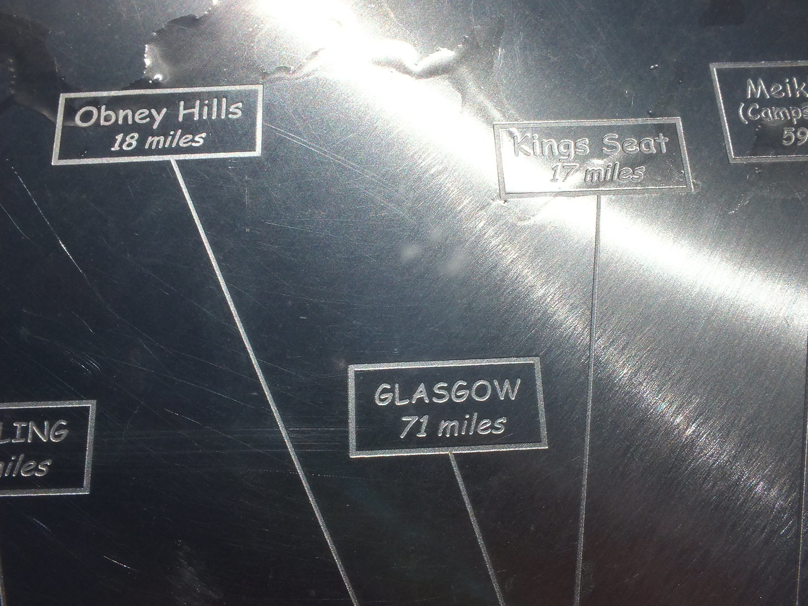
Just so the folk in the west don't feel left out
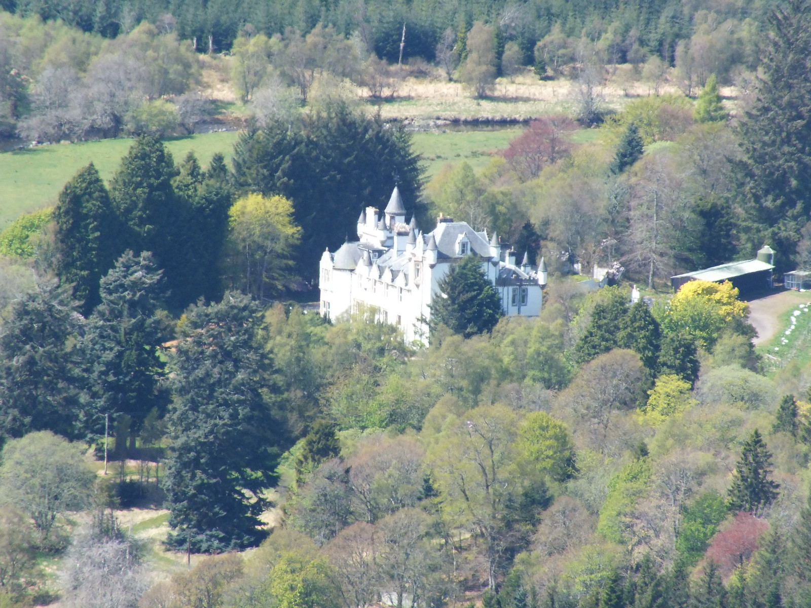
Dalnaglar Castle zoomed, wonder how often they whitewash the walls
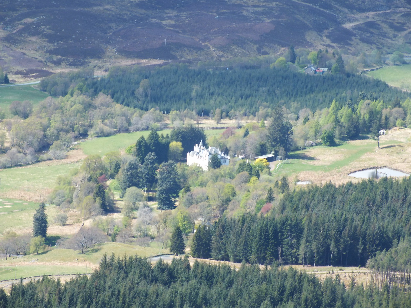
Above photo zoomed a bit, nice setting
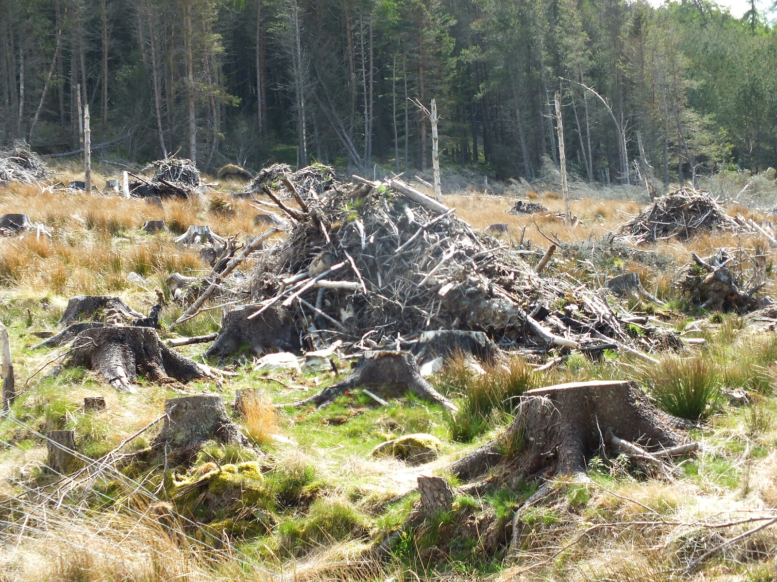
Piles of timber debris - anyone know what happens to them?
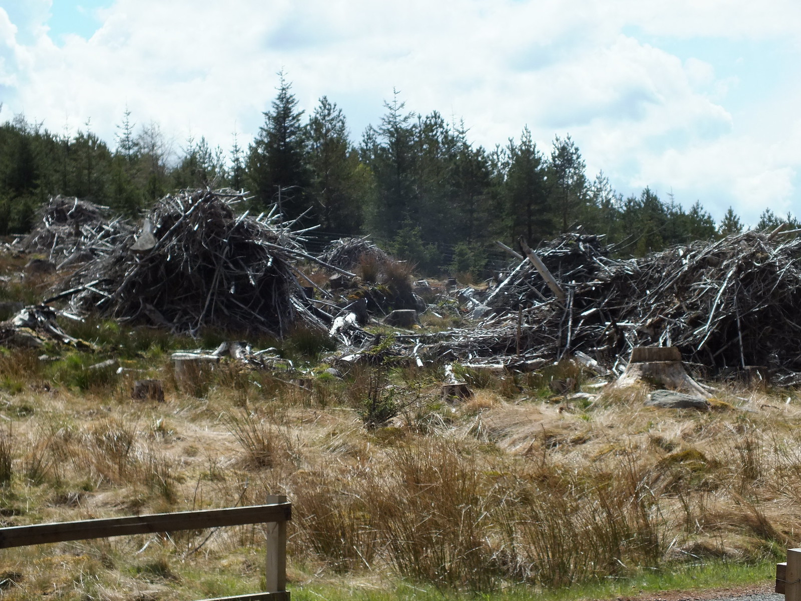
More timber stuff
Really enjoyed these hills as a group, even though you are starting above 300m if you do all 3 each one still has 400m of going up to overcome. Mount Blair on it's own could probably be done in an hour with fresh legs
Having said that if the weather is kind Mount Blair offers some great views and the circular shelter is interesting
Next on the menu will be more of the same.
