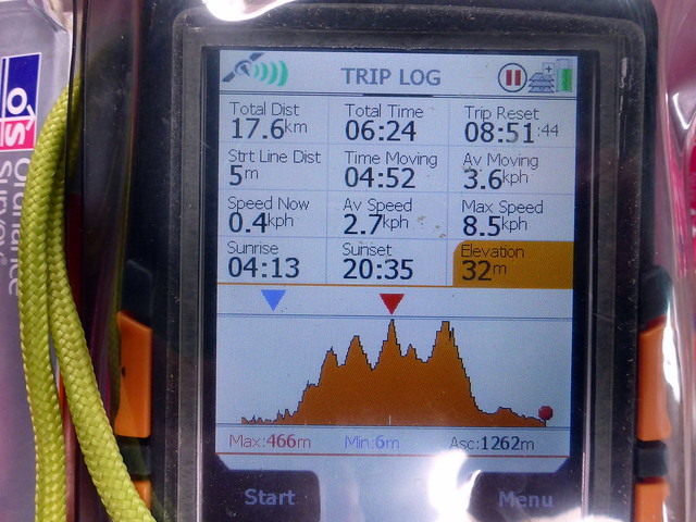
free to be able to rate and comment on reports (as well as access 1:25000 mapping).
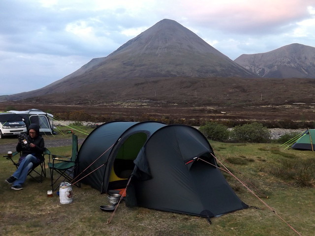
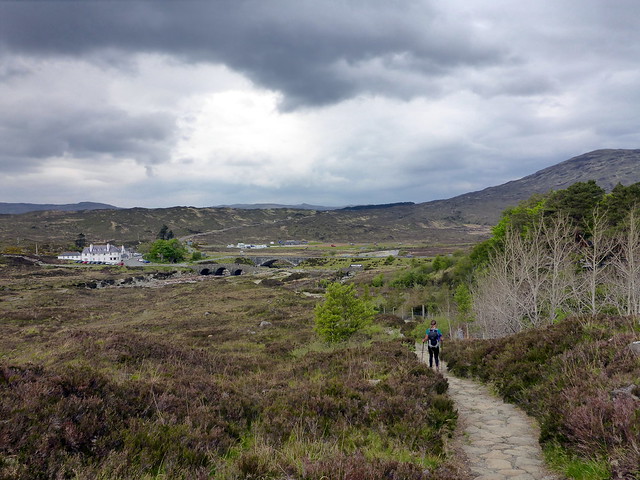
With all this new found freedom from lists it was merely a question of where we should go this week. After a weekend of Munros and scrambles in Glencoe I fancied something more sedate - a wee trip to Skye should fit the bill nicely, concentrating on Marilyns for a change. The weather looked set to break after the long dry & sunny spell we've been having, but not enough to put me off. There were various possibilities of hills to choose from (there are almost 40 sub-2000 Marilyns on Skye) and my only must do's were Macleod's Tables and Ben Tianavaig. So we set off on Thursday later afternoon and had a hassle free journey up, arriving at Sligachan around 8.30. The central camping section is currently being re-seeded and is out of action, which will reduce capacity substantially til the grass grows (with no rain recently this has held up progress). We found a suitable spot and ate a late tea. It felt good to be back on Skye, despite the first signs of midges we've encountered so far this year.
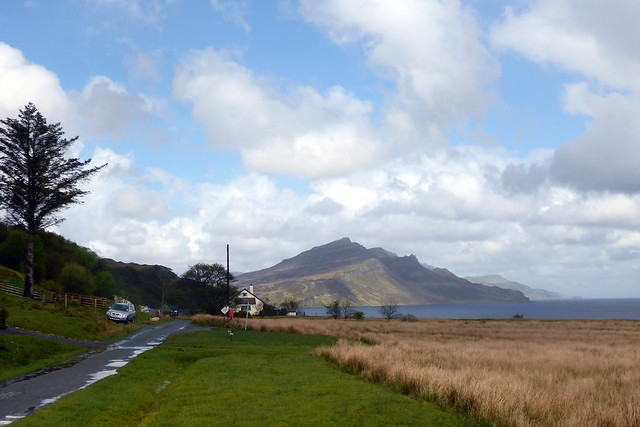
 DSCF2492
 by
Al, on Flickr
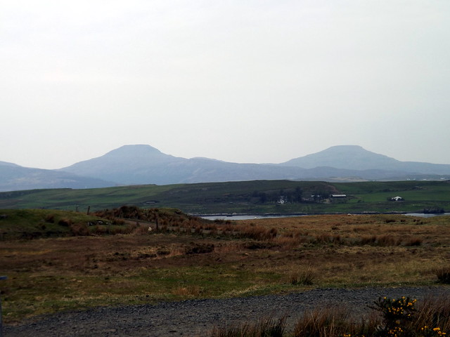
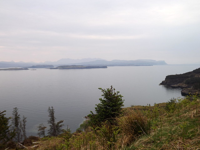
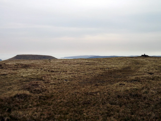
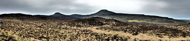
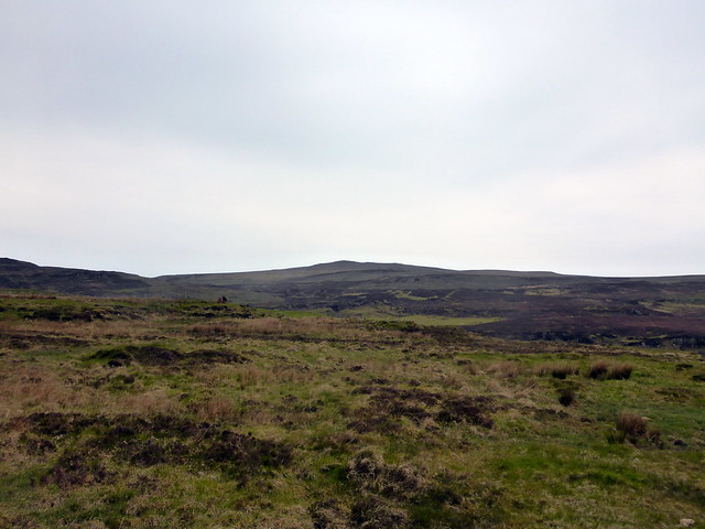
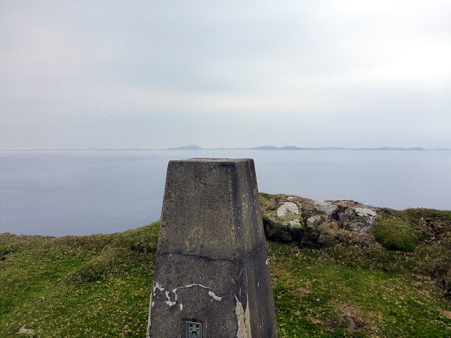
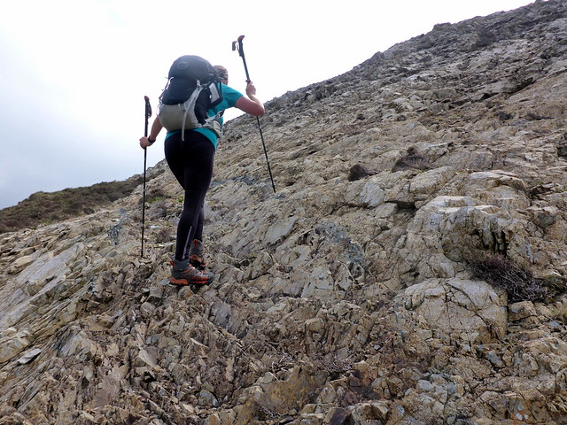
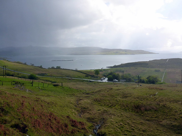
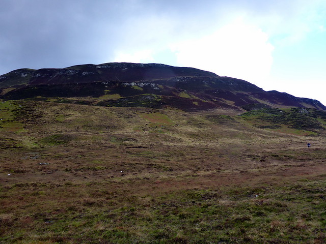
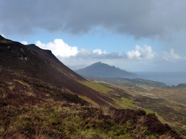
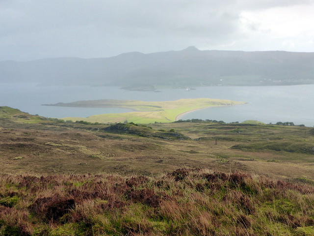
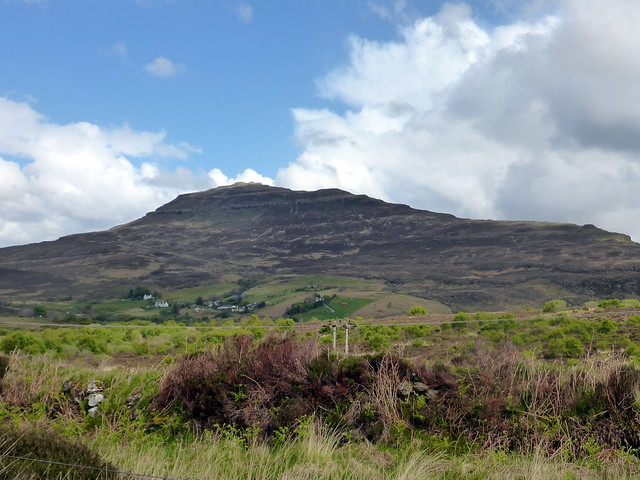
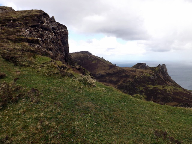
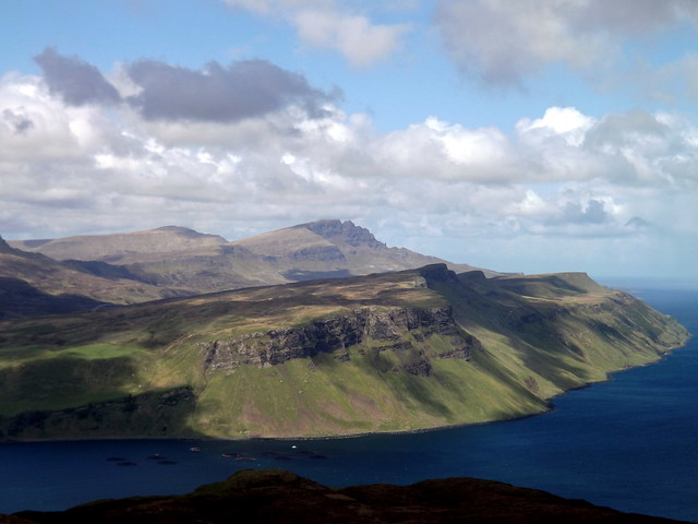
Friday was to be for Healabhal Bheag & Mhor, otherwise known as Macleod's Tables. I'd spotted them last year when walking the Trotternish Ridge and was keen to make closer acquaintance. The morning was hazy, with a white sky but quite warm. We drove up towards Dunvegan, taking a turn off to Orobost and parking at the large parking area on the estate. We walked along the coast, passing a flock of Soay sheep and into some woods, which are partially felled. Good views to the Cuillin Ridge in the distance, though ,arred today by haze. Our first target was another Marilyn, Beinn Bhac-ghlais which was easy enough to incorporate into the round. However, the close-encounters like shape of Beinn na Boineid caught the eye and we decided to head up over that first of all - a steep heathery ascent to a basalt crown. From the summit we could see Bhac-ghlais and Healabhal Bheag beyond.
Tables from the road to Dunvegan
 DSCF2493
 by
Al, on Flickr
 DSCF2494
 by
Al, on Flickr
 DSCF2495
 by
Al, on Flickr
Soay sheep
 DSCF2499
 by
Al, on Flickr
Misty Cuillin ridge in the distance
 DSCF2502
 by
Al, on Flickr
Beinn na Boinied
 DSCF2504
 by
Al, on Flickr
 DSCF2505
 by
Al, on Flickr
Bhac-ghlais & Healabhal Bheag
 DSCF2510
 by
Al, on Flickr
 DSCF2509
 by
Al, on Flickr
 DSCF2511
 by
Al, on Flickr
 DSCF2512
 by
Al, on Flickr
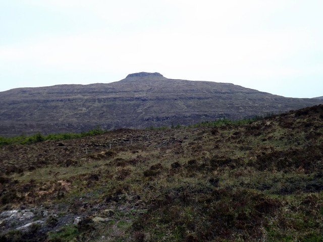
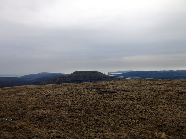
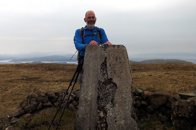
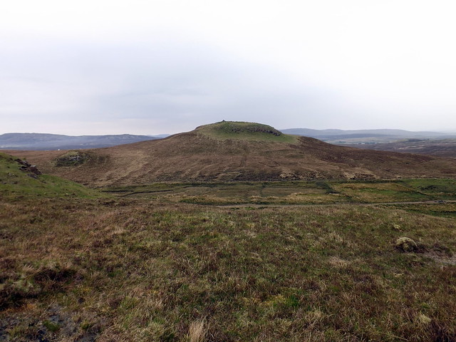
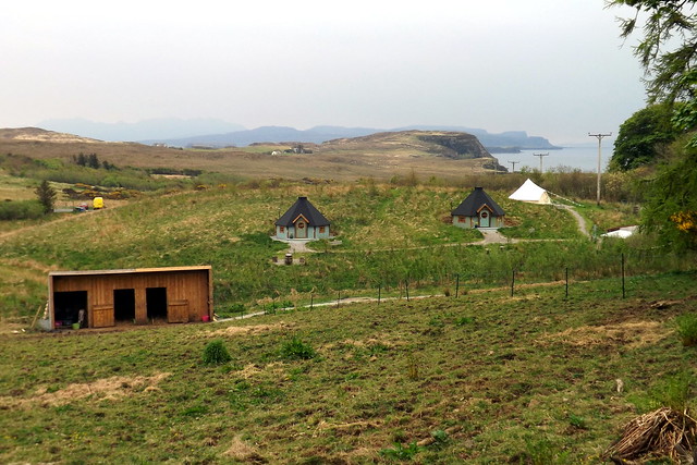
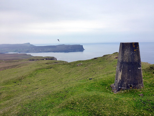
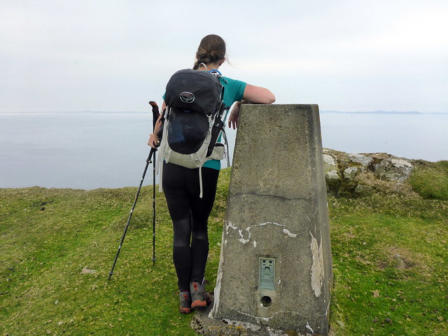
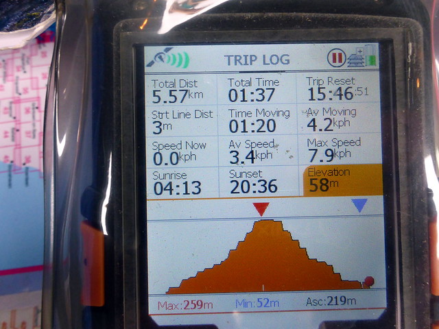
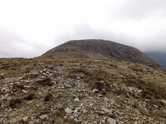
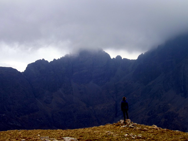
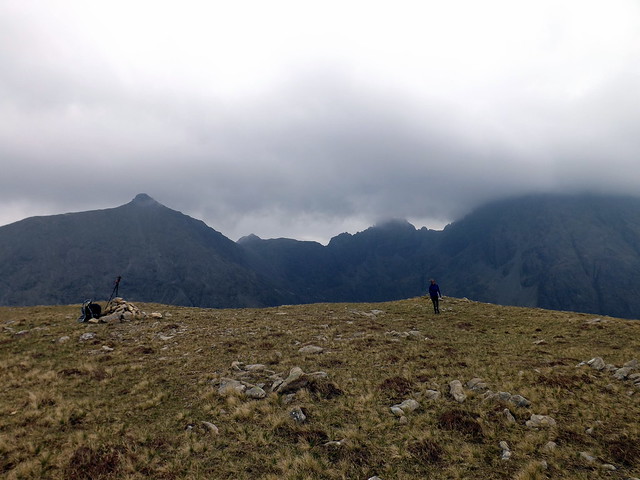
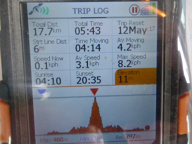
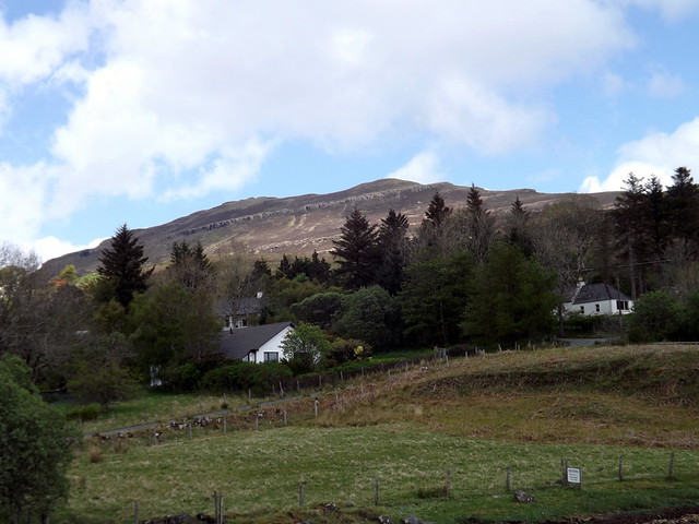
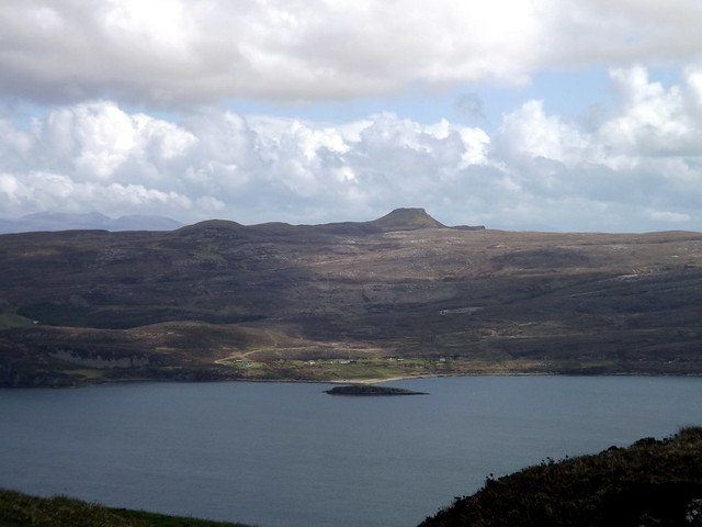
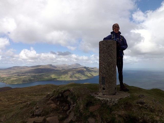
A simple drop down then up heathery slopes brought us to the top of Bhac-ghlais. The prow of Healabhal Bheag loomed towards us from here, not looking much like a table from this angle. Downwards and upwards we wended our way and arrived at the trig point. This was my 700th Marilyn. From here it looks quite far to Healabhal Mhor. However we picked up a path that avoided the scree and crags and made for Beinn na h-Uamha then ascended gentle grassy slopes to the flat top of Mhor. We descended to the north-east, initially taking a line on Osdale farm before dropping to the Osdale River where a herd of cows took an unhealthy interest in our presence - we quickly crossed the river and made for the lower slopes of Beinn Bhuidhe, passing the remains of a hill fort and joining the road for a mile or so back to the car. On the way we passed Skye Eco Bells Glamping - "an off-grid luxury camping experience". Fair enough.
Bhac-ghlais
 DSCF2516
 by
Al, on Flickr
Healabhal Bheag
 DSCF2517
 by
Al, on Flickr
 P1150682
 by
Al, on Flickr
 DSCF2519
 by
Al, on Flickr
 DSCF2522
 by
Al, on Flickr
 DSCF2523
 by
Al, on Flickr
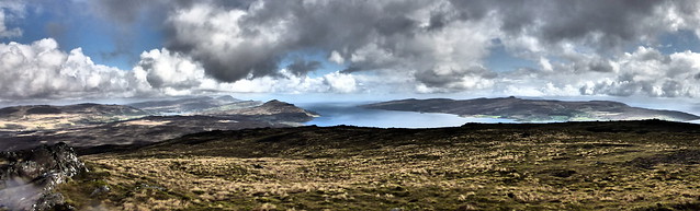
Mhor from Bheag
 DSCF2525
 by
Al, on Flickr
 DSCF2527
 by
Al, on Flickr
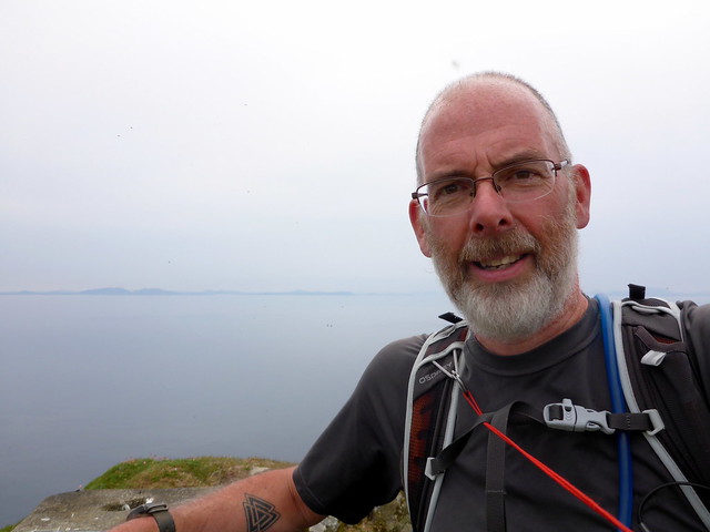
Marilyn 700
 DSCF2528
 by
Al, on Flickr
Healabhal Mhor
 DSCF2531
 by
Al, on Flickr
 DSCF2535
 by
Al, on Flickr
 P1150690
 by
Al, on Flickr
Hill-fort
 DSCF2538
 by
Al, on Flickr
Eco Bells
 DSCF2539
 by
Al, on Flickr
 P1150692
 by
Al, on Flickr
 P1150693
 by
Al, on Flickr
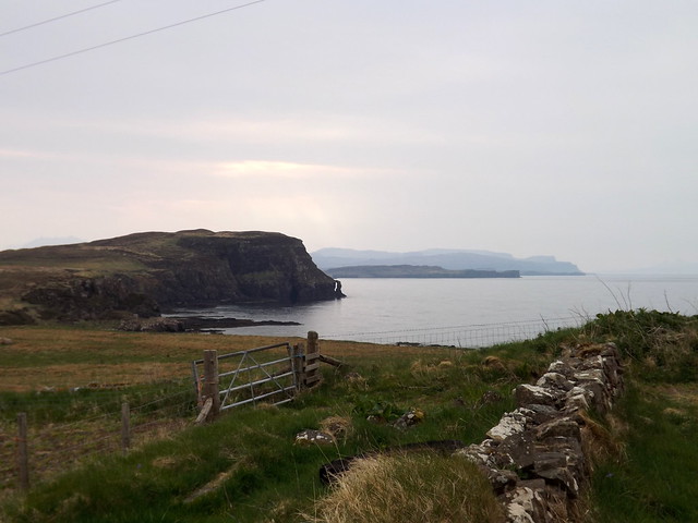
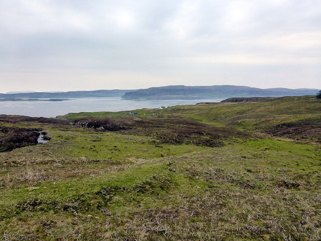
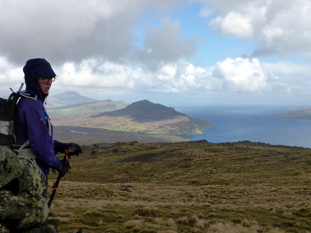
We returned to the car with plenty of time left - I fancied a fourth Marilyn up at the top of Duirinish - Biod an Athair. It only looked a couple of km each way from the road end at Galtrigill. It was a wee bit further than I anticipated to drive there - 10 miles, past the Three Chimneys (wonder what their vegan option is

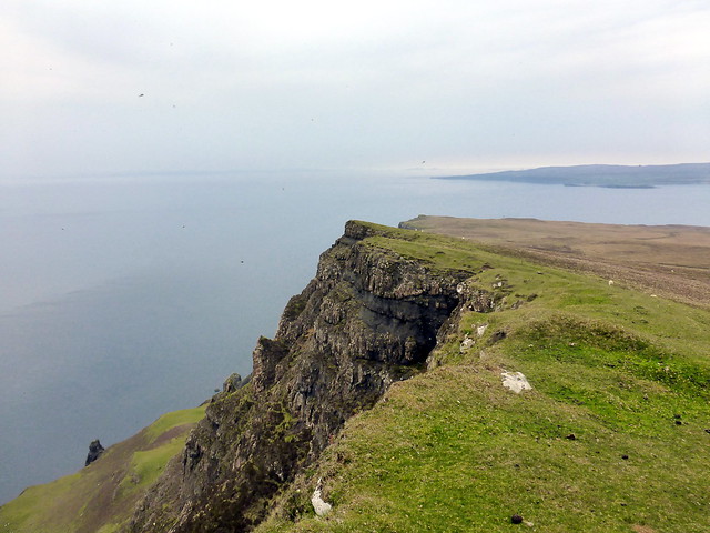
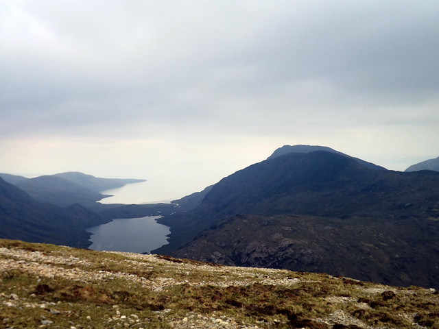
) to the road end. Parking is a little bit tricky - we left the car at the start of a farm track. We found a farm track that led us through a field of disinterested cows then petered out on the north-eastern flank of Ben Skriaig. From here we crossed the Galtrigill Burn and headed for the summit of Athair. Not much of a hill to look at (from the east anyhow) but once at the top the vista was excellent (although again the haze limited the view). The Little Minch was mirror calm and the isolated hills of North Uist revealed themselves. I noted a perfect little flat spot for a wild camp right at the trig point - that would be a beauty for a fine sunset. The ground falls away steeply to stacks and rocky beaches below. We dropped back down much the same way as we'd ascended, although I managed to find more bogs and barbed wire fences than on the way up
Back along a quiet road to Sligachan which looked rather empty for a Friday evening in mid-May.
Biod an Athair
 P1150694
 by
Al, on Flickr
 P1150697
 by
Al, on Flickr
 P1150699
 by
Al, on Flickr
North Uist in backdrop
 P1150701
 by
Al, on Flickr
 P1150704
 by
Al, on Flickr
 P1150705
 by
Al, on Flickr
Route back to Galtrigill
 P1150706
 by
Al, on Flickr
 P1150707
 by
Al, on Flickr
Sligachan campsite
 DSCF2540
 by
Al, on Flickr
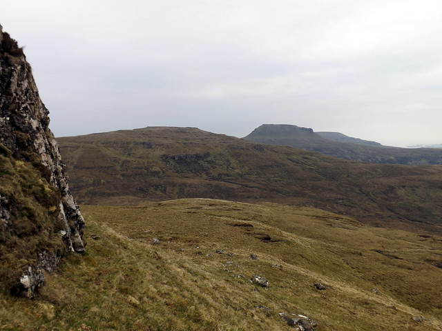
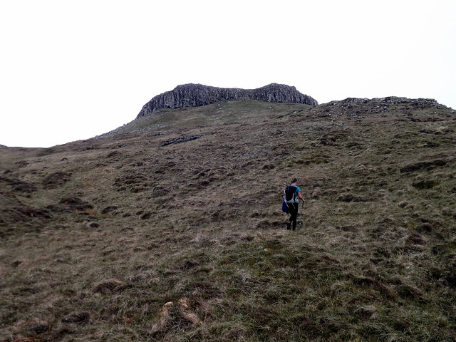
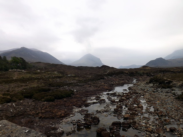
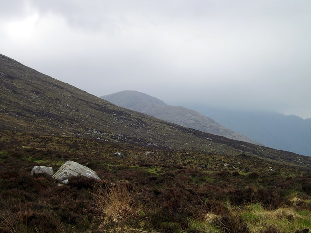
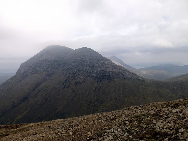
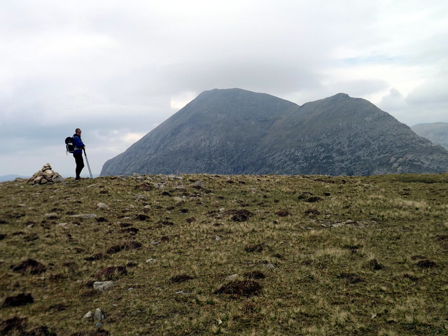
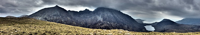
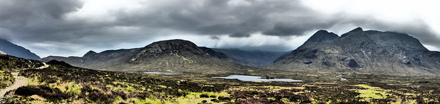
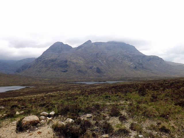
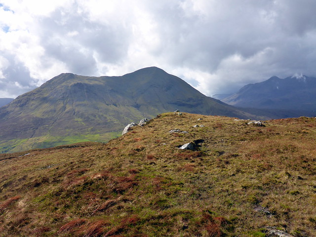
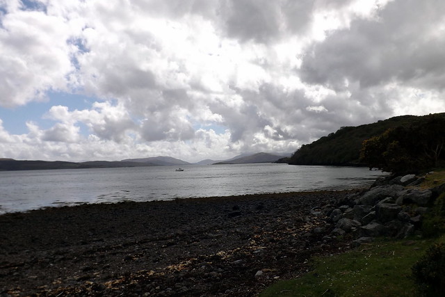
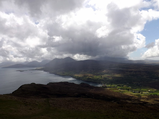
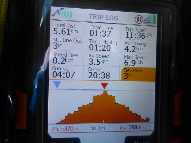
Saturday was meant to be a day of showers. I decided we'd walk down Glen Sligachan from the campsite and tackle Ruadh Stac, which sits tucked in to the south of Marsco. Cloud was down over the Cuillin Munros, although the Red Cuillin were clear. Again it seemed really quiet - we had left a bit late on account of having our sleep broken by a noisy party in nearby tents who nattered in loud voices til well after 2am - but even so it seemed a bit eerie. Walking past the bulk of Marsco, a hill which has so many guises depending on the angle you view it from, we got our first sight of Ruadh Stac - diminuitive, grassy at the base and reddish stone higher up. Normally a bit of a bog trot to get over after the Allt nam Fraoch Choire but pretty dry today, thankfully. Once onto the rocks there's some fissured quartzite (I think) which provides better footing than the adjacent scree. Up ahead I could see Beinn Hain and beyond that Sgurr na Stri. There's a flattish section then the neck of the hill rises up again. When you almost reach the summit the huge black wall of Clach Glas rises out of nowhere - a superb sight. The top of Bla Bheinn remained under clag for the duration of our visit but Clach Glas and Garbh Beinn were often cloud free. We spend some time on top - I was hankering after continuing on to Sgurr na Stri, but Allison was reluctant to climb that particular summit when clag was down over the Cuillin Ridge and I think she was right - however she's now got herself a summit camp up there when conditions are favourable.
 DSCF2541
 by
Al, on Flickr
Ruadh Stac
 DSCF2543
 by
Al, on Flickr
 DSCF2544
 by
Al, on Flickr
 P1150709
 by
Al, on Flickr
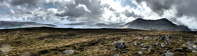
Towards Sgurr na Stri
 DSCF2548
 by
Al, on Flickr
 DSCF2549
 by
Al, on Flickr
Marsco
 DSCF2550
 by
Al, on Flickr
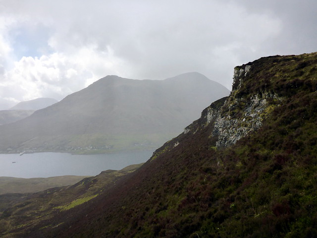
The black wall
 DSCF2552
 by
Al, on Flickr
 DSCF2553
 by
Al, on Flickr
Marsco
 DSCF2555
 by
Al, on Flickr
 P1150713
 by
Al, on Flickr
We descended back into Glen Sligachan and returned to the campsite. It was now after 4 and the weather looked to be deteriorating. I had hoped to get another hill in today - perhaps Ben Lee direct from the campsite, and tentatively considered that after tea, but the wind got up and the rain came down to scupper that particular plan. It rained quite heavily overnight.
 P1150715
 by
Al, on Flickr
South side of Gillean
 DSCF2562
 by
Al, on Flickr
 DSCF2565
 by
Al, on Flickr
 P1150716
 by
Al, on Flickr
 P1150717
 by
Al, on Flickr
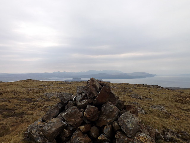
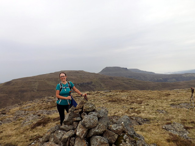
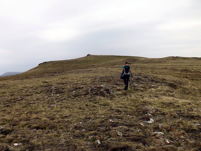
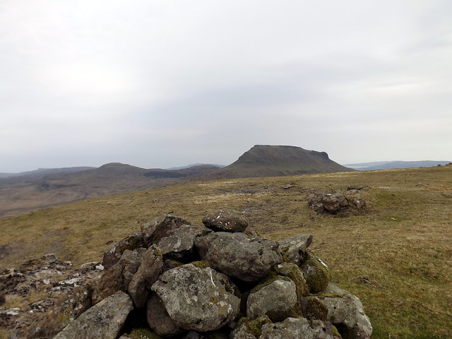
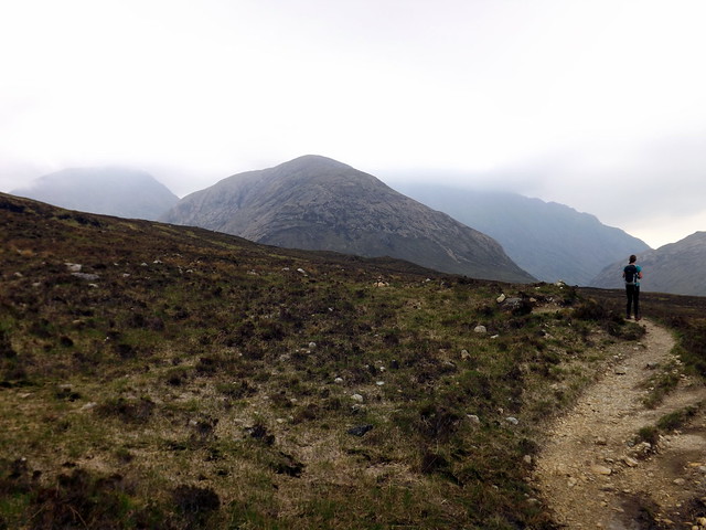
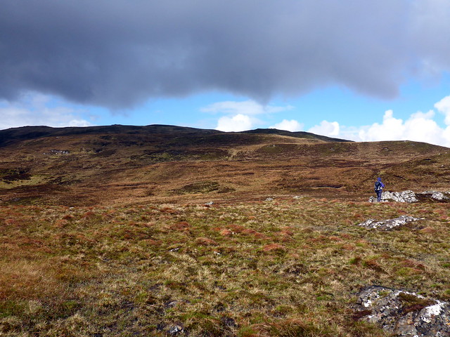
For Sunday I decided we'd do Ben Lee and Ben Tianavaig - it seemed best to do Lee from Peigheinn a'Chorrain if we were driving round to Camas Tianavaig anyway, plus it was shorter from that direction. We got the tent down inbetween squally showers and drove round the tiny winding road to Peigheinn a'Chorrain. We parked at the junction of the two roads and set off over the hillside. Ben Lee is one of those hills with numerous false summits and Allison was not especially impressed by it, especially as we would get soaked on a regular basis from the heavy (but thankfully brief) showers. There are a couple of steep heathery sections then gently rising moorland to gain the summit cairn. The heather was festooned with caterpillars - I think Burnet Moth ones? Sometimes you could catch glimpses of ben Tianavaig sitting like a battleship up the road. Glamaig was everpresent with the higher Cuillin under cover. Eventually we made the summit then tracked back to the car. By this time it was 11.30 - we drove up to Camas Tianavaig and found the picnic tables where we had our lunch looking down the Sound of Raasay.
Looking back at the start
 P1150718
 by
Al, on Flickr
Ben Lee
 P1150720
 by
Al, on Flickr
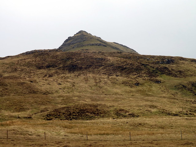
Beinn Tianavaig
 P1150721
 by
Al, on Flickr
Tombolo
 P1150722
 by
Al, on Flickr
?Burnet Moth caterpillar
 P1150723
 by
Al, on Flickr
 P1150724
 by
Al, on Flickr
Glamaig
 P1150725
 by
Al, on Flickr
Summit looking North
 P1150728
 by
Al, on Flickr
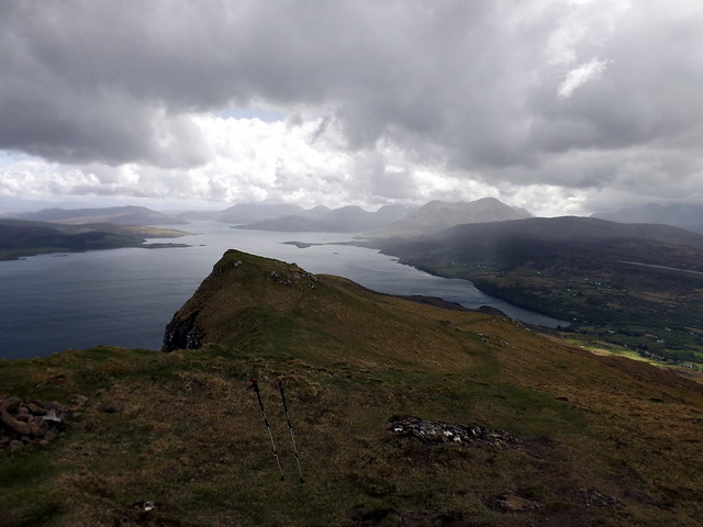
Trotternish/Raasay
 P1150730
 by
Al, on Flickr
 P1150731
 by
Al, on Flickr
One of the steeper heathery sections
 P1150732
 by
Al, on Flickr
 P1150733
 by
Al, on Flickr
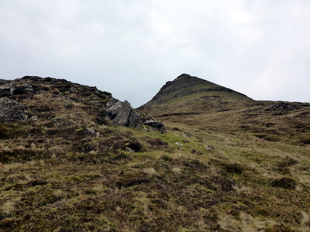
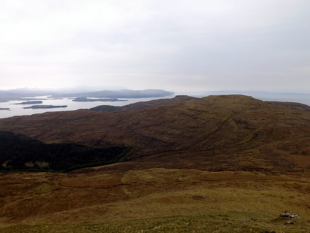
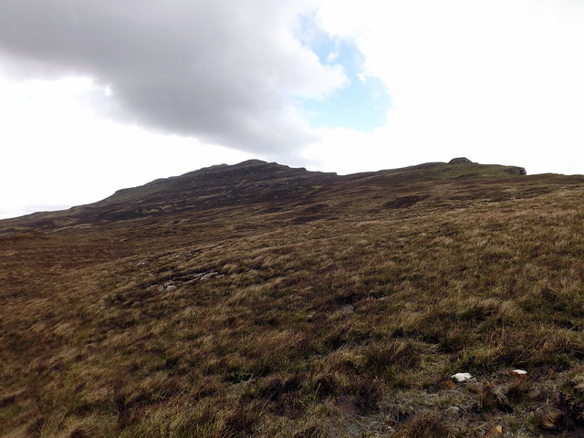
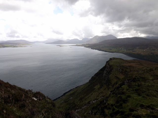
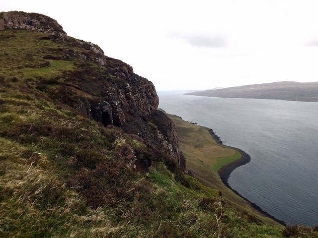
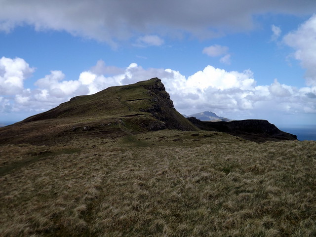
Shedding wet waterproof trousers, we set off along the hill path to Tianavaig, which passes to the left of a house gate and leads easily up the mountain, along McQueens Rock, wich drops to the black rocky beach below. Dun Caan was clear across on Raasay. We continued up Tianavaig, with outcrops and storrs becoming ever more impressive - you'd certainly know this hill belonged to the Trotternish Ridge. We got to the trig point, got some good views north up the Trotternish Ridge then decided to descend the same way we'd gone up, given there was a long drive back home to be undertaken. Fortunately it had stayed dry for this hill, although the wind was cold and scoured at exposed skin. A fine weekend overall, showing that you don't need gabbro and scrambles to enjoy Skye.
On the way to Tianavaig
 P1150734
 by
Al, on Flickr
 P1150735
 by
Al, on Flickr
 DSCF2570
 by
Al, on Flickr
Sound of Raasay
 DSCF2572
 by
Al, on Flickr
 DSCF2573
 by
Al, on Flickr
 DSCF2575
 by
Al, on Flickr
 DSCF2577
 by
Al, on Flickr
 DSCF2578
 by
Al, on Flickr
 DSCF2579
 by
Al, on Flickr
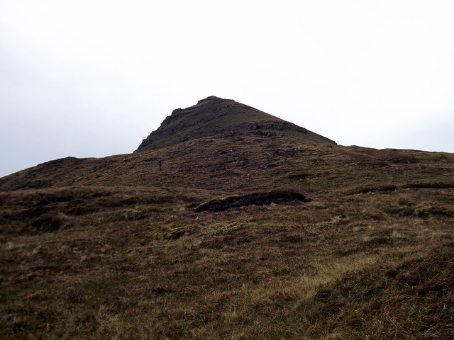
nearing the summit
 DSCF2583
 by
Al, on Flickr
Dun Caan
 DSCF2584
 by
Al, on Flickr
Heavy cloud over the Cuillin
 DSCF2585
 by
Al, on Flickr
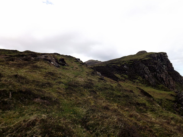
Summit Tianavaig
 DSCF2586
 by
Al, on Flickr
 DSCF2587
 by
Al, on Flickr
The Storr
 DSCF2588
 by
Al, on Flickr
 DSCF2591
 by
Al, on Flickr
 P1150736
 by
Al, on Flickr
