free to be able to rate and comment on reports (as well as access 1:25000 mapping).
This walk is also covered in a TR by Beery Hiker at
https://www.walkhighlands.co.uk/Forum/viewtopic.php?f=9&t=71238 . I've included it here as my TRs are also my own record of my walks, and also some readers may enjoy a different perspective on the route.
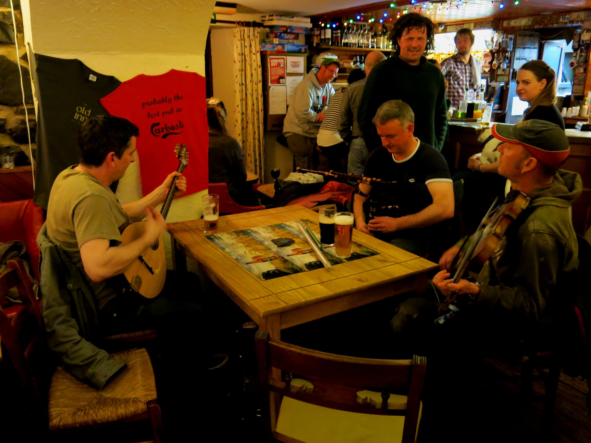
We were staying at the excellent Old Inn at Carbost.
 IMG_6094
 by
Half Man Half Titanium, on Flickr
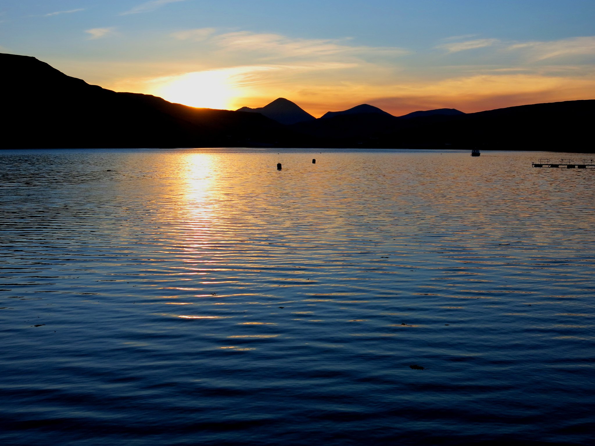
This was a great base for exploring the island, and it's also the nearest pub to Glen Brittle. It also has a great situation on Loch Harport - this is dawn on the first day.
 IMG_4973
 by
Half Man Half Titanium, on Flickr
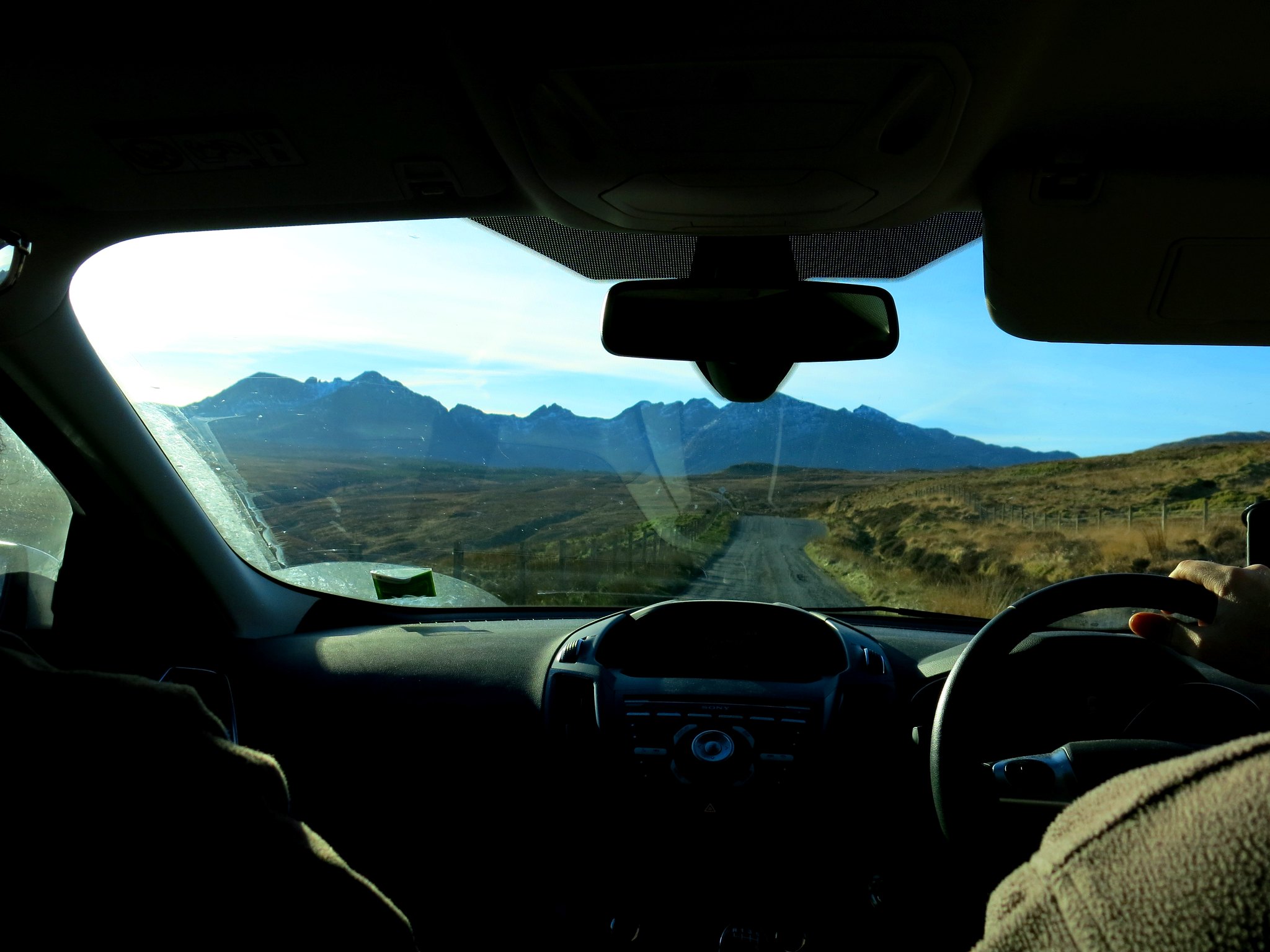
We had enticing early-morning views ahead of the Black Cuillin while driving to Glenbrittle from the Old Inn.
 IMG_4974
 by
Half Man Half Titanium, on Flickr
With an excellent weather forecast for the day, we decided to have a go at one of our main targets for the week - Sgurr na Banachdich. The path from the Youth Hostel was very clear, and a branch path leading up to the right into Coire Eich was pretty obvious too. Air clarity was superb, and as we climbed we got wider views and more Hebridean islands kept popping into view.
 IMG_4982
 by
Half Man Half Titanium, on Flickr
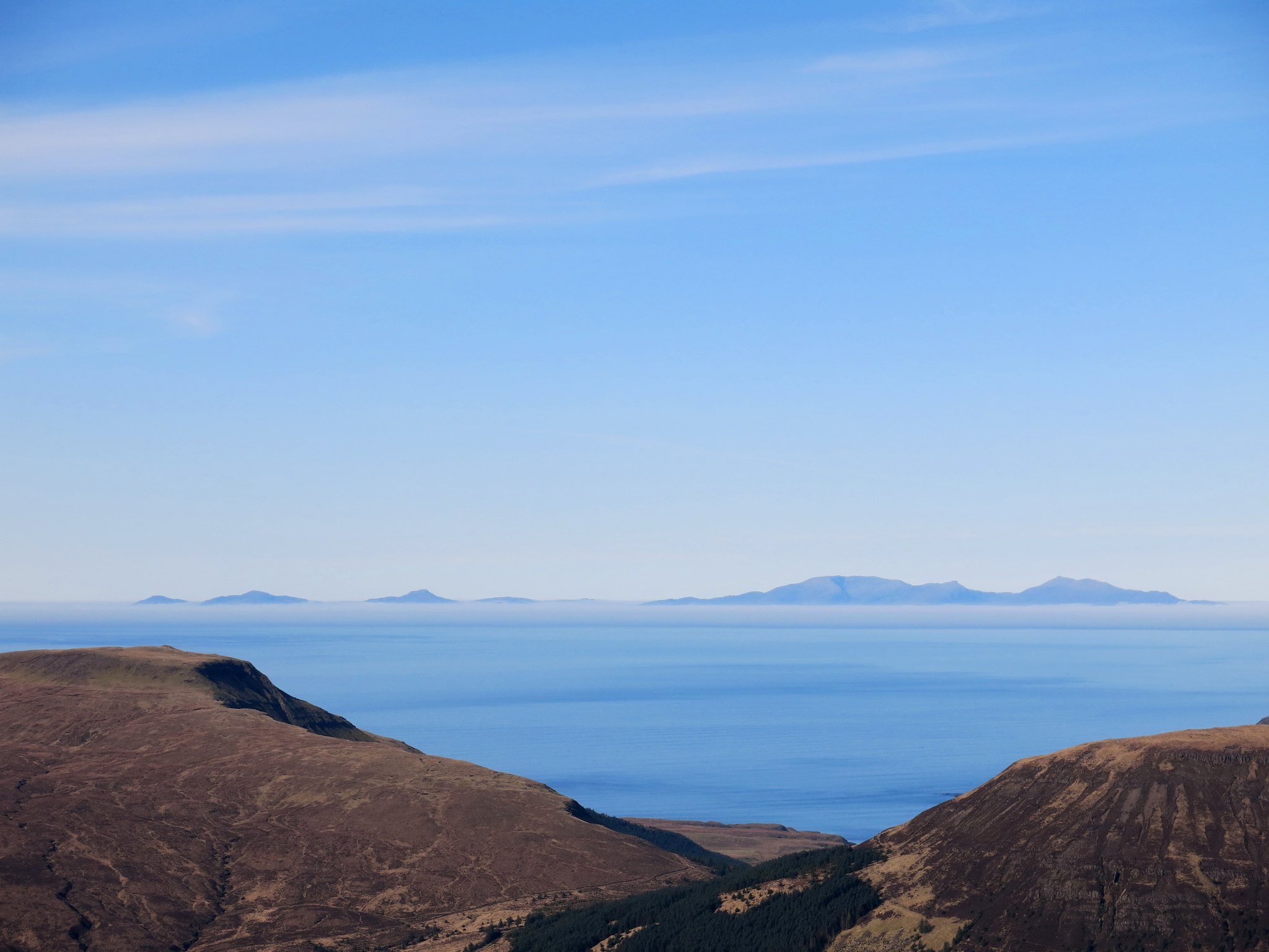
A low sea-mist can be seen below the hills on the islands.
 IMG_4984
 by
Half Man Half Titanium, on Flickr
I was reminded of the Canadian Boat Song - and the sad history of the Clearances that seem written into all the hills around us.
"We are exiles from our father's land
From the lone shieling of the misty island
Mountains divide us, and the waste of seas;
Yet still the blood is strong, the heart is Highland,
And we in dreams behold the Hebrides."
This was a theme which would pick up again later in the week, when we walked to the former settlements at Rubh' an Dùnain. But for the moment, after a stony ascent at the back of the corrie, we came out on the ridge of An Diallaid, with great views all around.
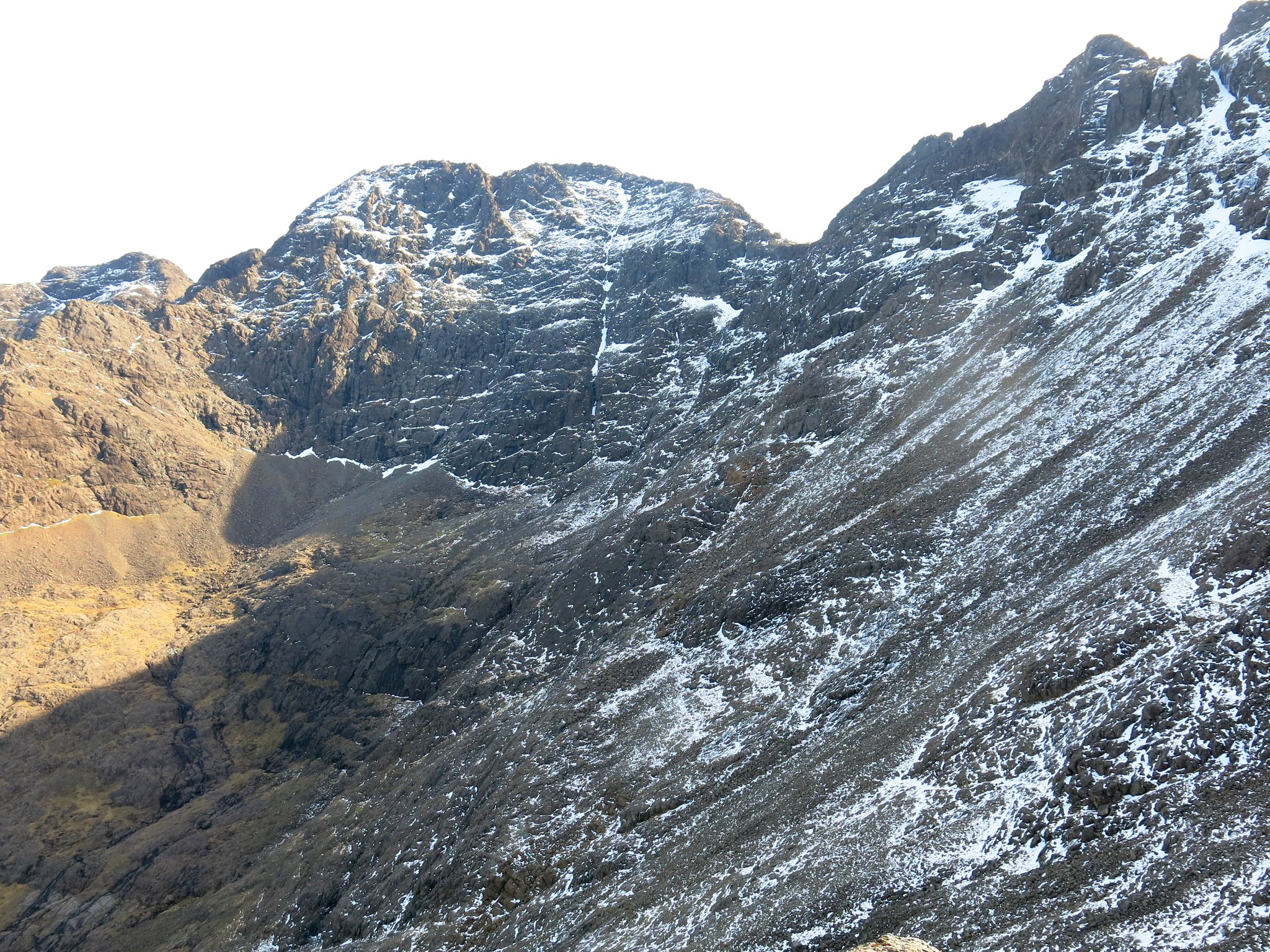
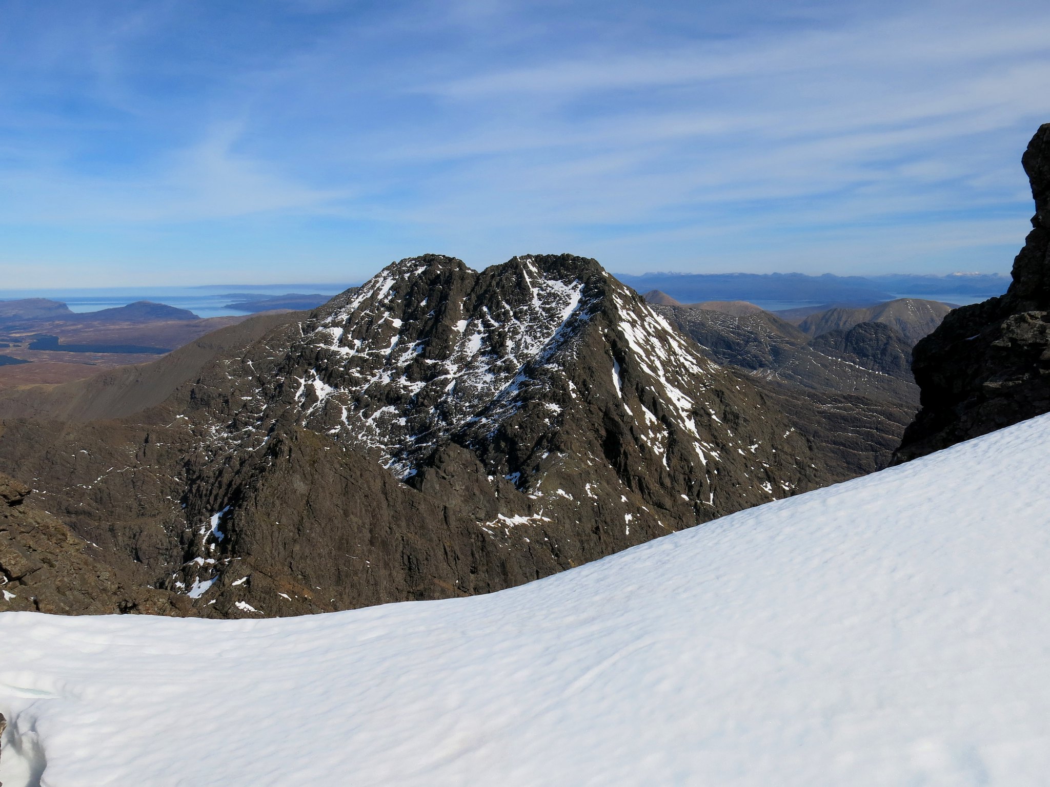
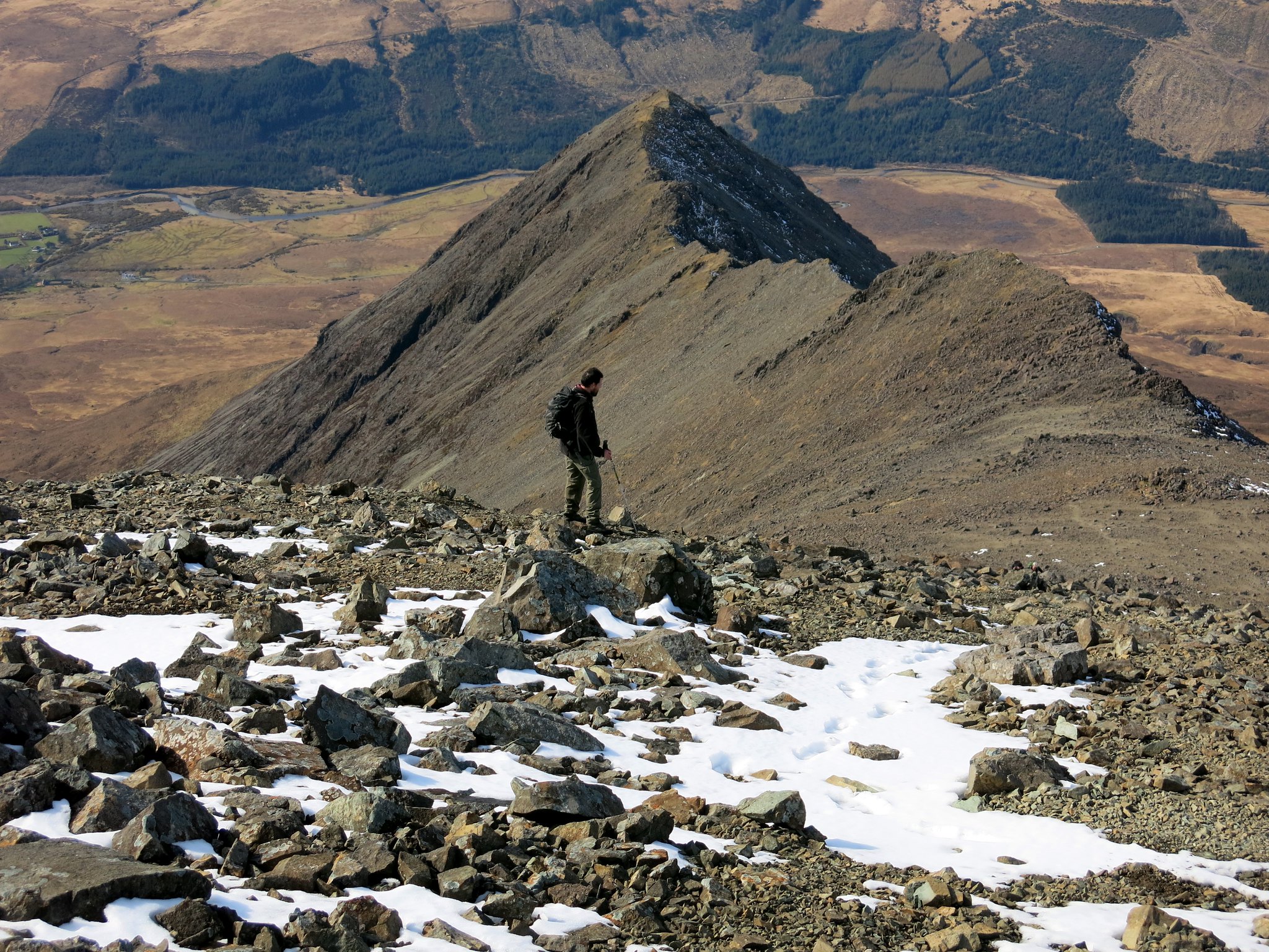
First sight of Sgurr a' Ghreadaidh
 IMG_4988
 by
Half Man Half Titanium, on Flickr
Taking a stroll out along the edge of An Diallaid, with a view towards Sgurr Thuilm.
 IMG_5006
 by
Half Man Half Titanium, on Flickr
Looking up to Sgurr Thormaid and two of its Three Teeth.
 IMG_5015
 by
Half Man Half Titanium, on Flickr
The view north-west from An Diallaid. Macleod's Tables and the sea-cliffs of western Skye are in the distance.
 IMG_5022
 by
Half Man Half Titanium, on Flickr
Coire a' Ghreadaidh.
 IMG_5026
 by
Half Man Half Titanium, on Flickr
From An Diallaid, a broad stony flank rises towards the top of Banachdich. The volcanic moonscape reminded me of my visits to the Andes, and the lower slopes of the big volcanoes in Argentina and Bolivia.
 IMG_5030
 by
Half Man Half Titanium, on Flickr
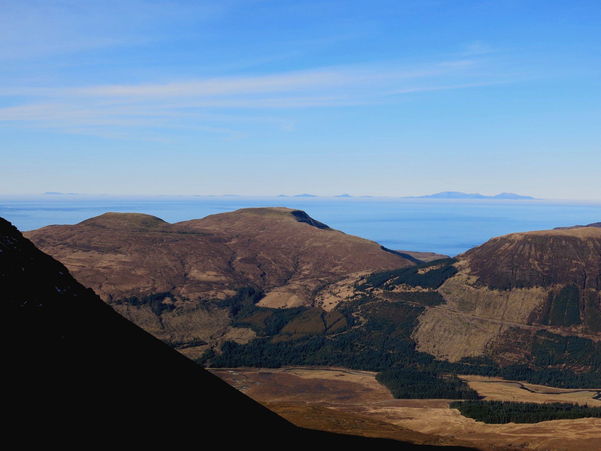
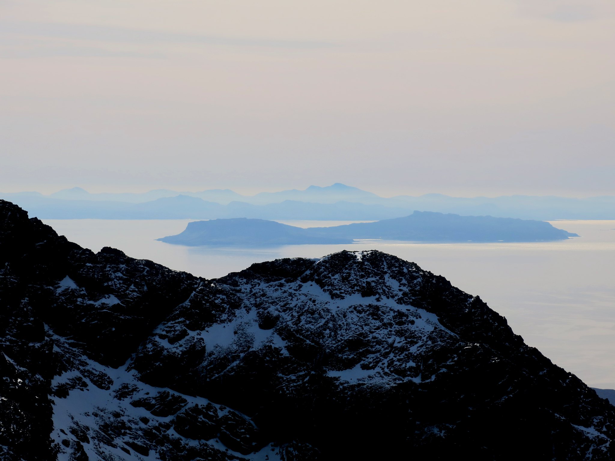
Loch Brittle, Rum and Canna.
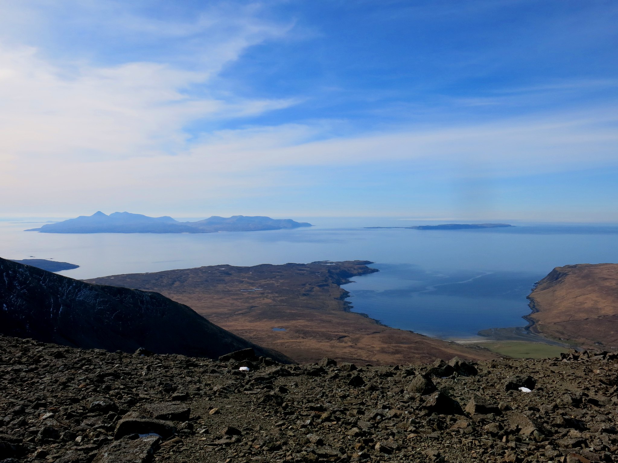 IMG_5034
 by
Half Man Half Titanium, on Flickr
First glimpse of the spiky Coire Lagan skyline to the south.
 IMG_5046
 by
Half Man Half Titanium, on Flickr
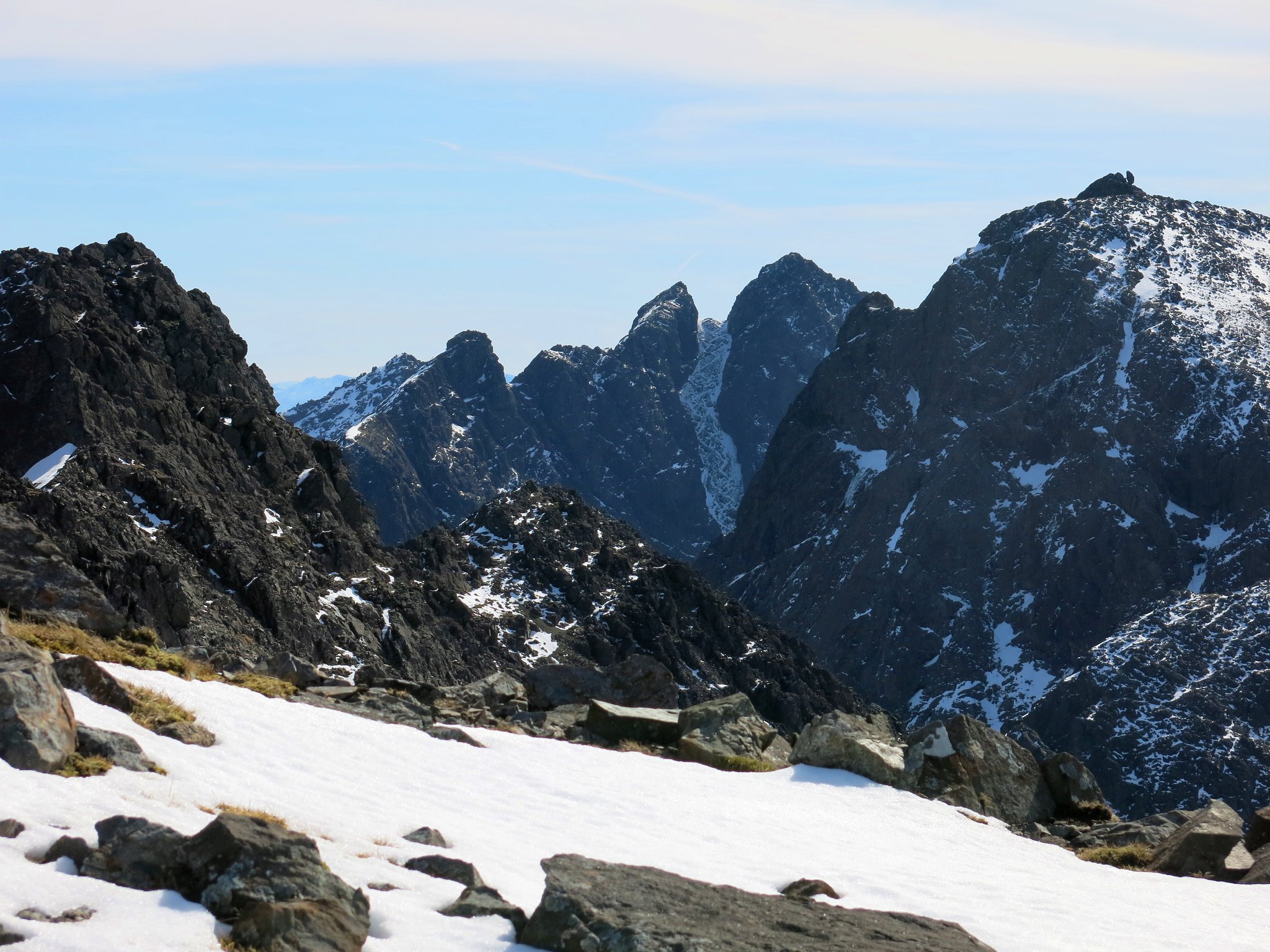
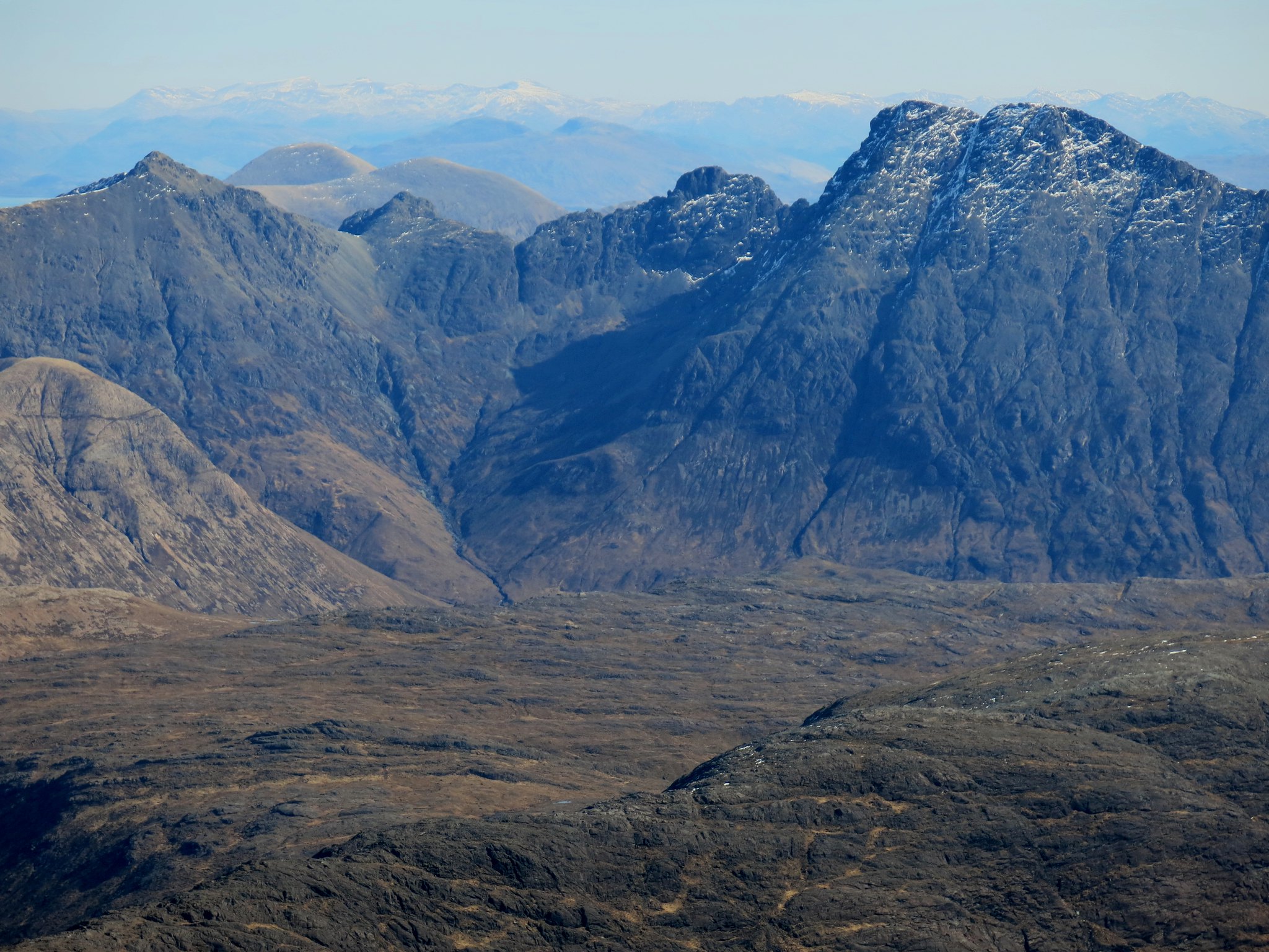
A little higher on the ridge, and we had a good view of the twin tops of Sgurr a' Ghreadaidh, with Sgurr Thormaid below it. The faraway snowy peaks to the right of Ghreadaidh are, I think, Liathach on the left and the Loch Monar hills on the right.
 IMG_5051
 by
Half Man Half Titanium, on Flickr
While way to the south, Ben More on Mull came into view above Eigg and Ardnamurchan.
 IMG_5066
 by
Half Man Half Titanium, on Flickr
The summit - my first Cuillin summit!
 IMG_5060
 by
Half Man Half Titanium, on Flickr
Sgurr na Banachdich has two translations: Milkmaid's Peak and Peak of Smallpox. It was Dr Jenner who took note of the "common observation that milkmaids were generally immune to smallpox" (
https://en.wikipedia.org/wiki/Edward_Jenner). ;
Milkmaids were prone to the milder disease cowpox - Jenner developed a cowpox vaccine to immunise against smallpox. I wonder if there is a language connection between the two meanings in Gaelic?
(Jenner, by the way, is said to have "saved more lives than any other human" through his pioneering of vaccines and immunisation. More randomly, he was also the first person to realise that cuckoo chicks push other baby birds out of the nest.)
Views from the top - cue Canadian Boat Song again - this was indeed a dream like view, beholding the Hebrides. This is Loch Harport, the Duirinish and Trotternish peninsulas, and the Outer Hebrides all along the skyline, with the highest hills of Harris on the centre horizon.
 IMG_5055
 by
Half Man Half Titanium, on Flickr
Sgurr Dubh Mor. The snowy dome of Ben Nevis can be seen bit to the left of the centre skyline. Fainter, on the right-hand side, is Bidean nam Bian.
 IMG_5080
 by
Half Man Half Titanium, on Flickr
Loch Coruisk, Bla Bheinn and its satellites and the mainland.
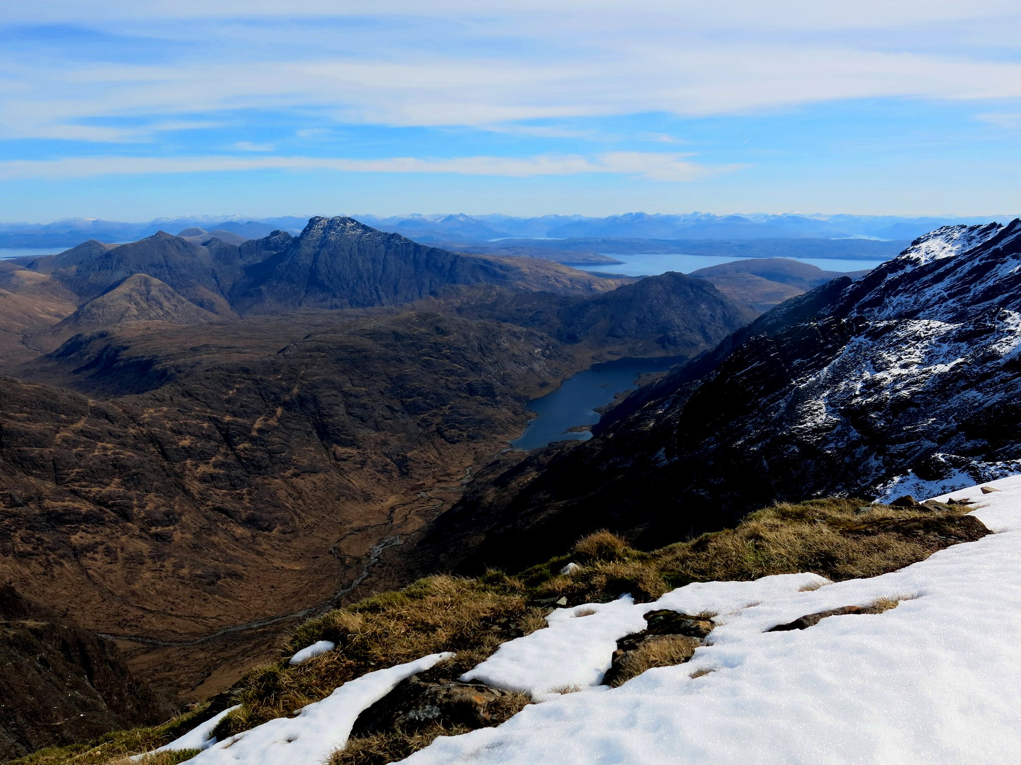 IMG_5096
 by
Half Man Half Titanium, on Flickr
A zoomed view of Bla Bheinn. On the left, the Mullardoch/Affric hills appear above Garbh-bheinn, and Ben Fhada is above Clach Glas. Sgurr nan Conbhairean, I think, is above Bla Bheinn's north summit and Mullach Fraoch-Choire and A' Chralaig above the south summit.
 IMG_5071
 by
Half Man Half Titanium, on Flickr
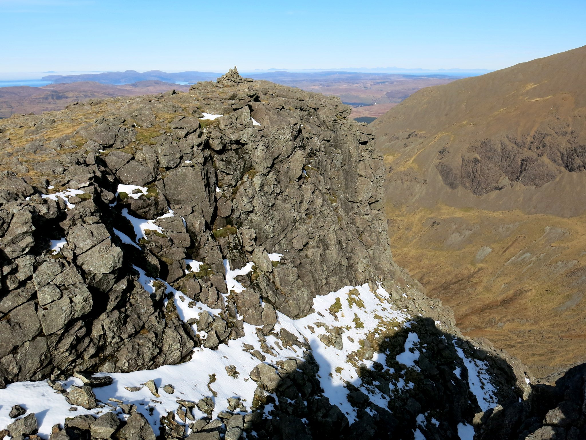
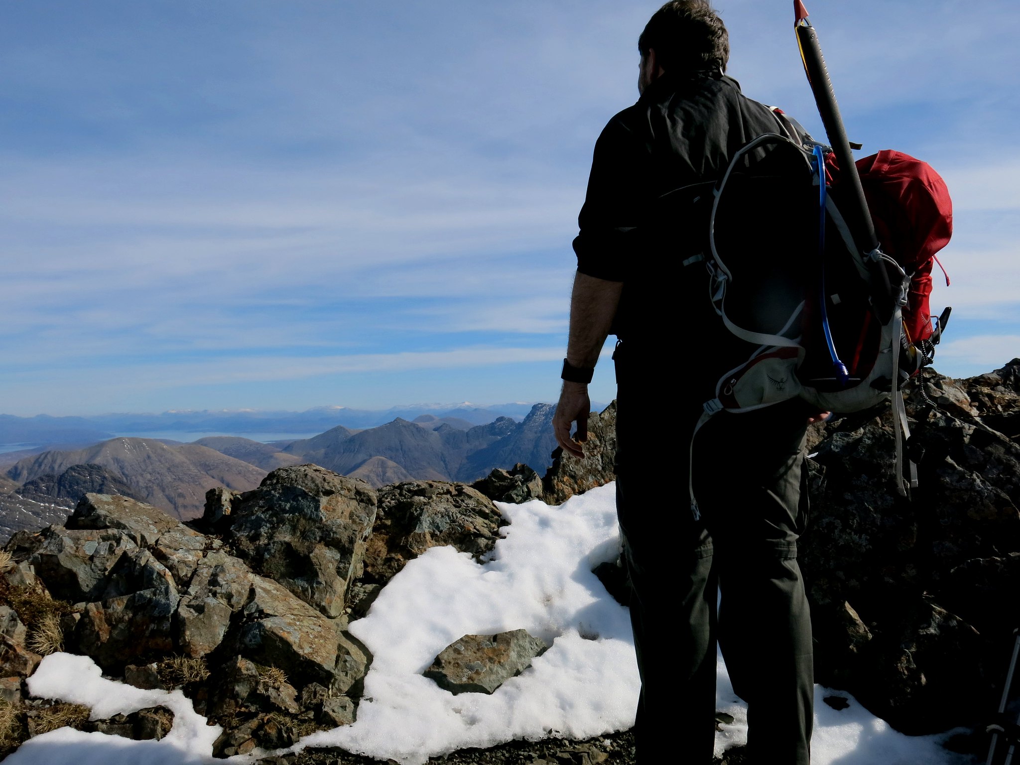
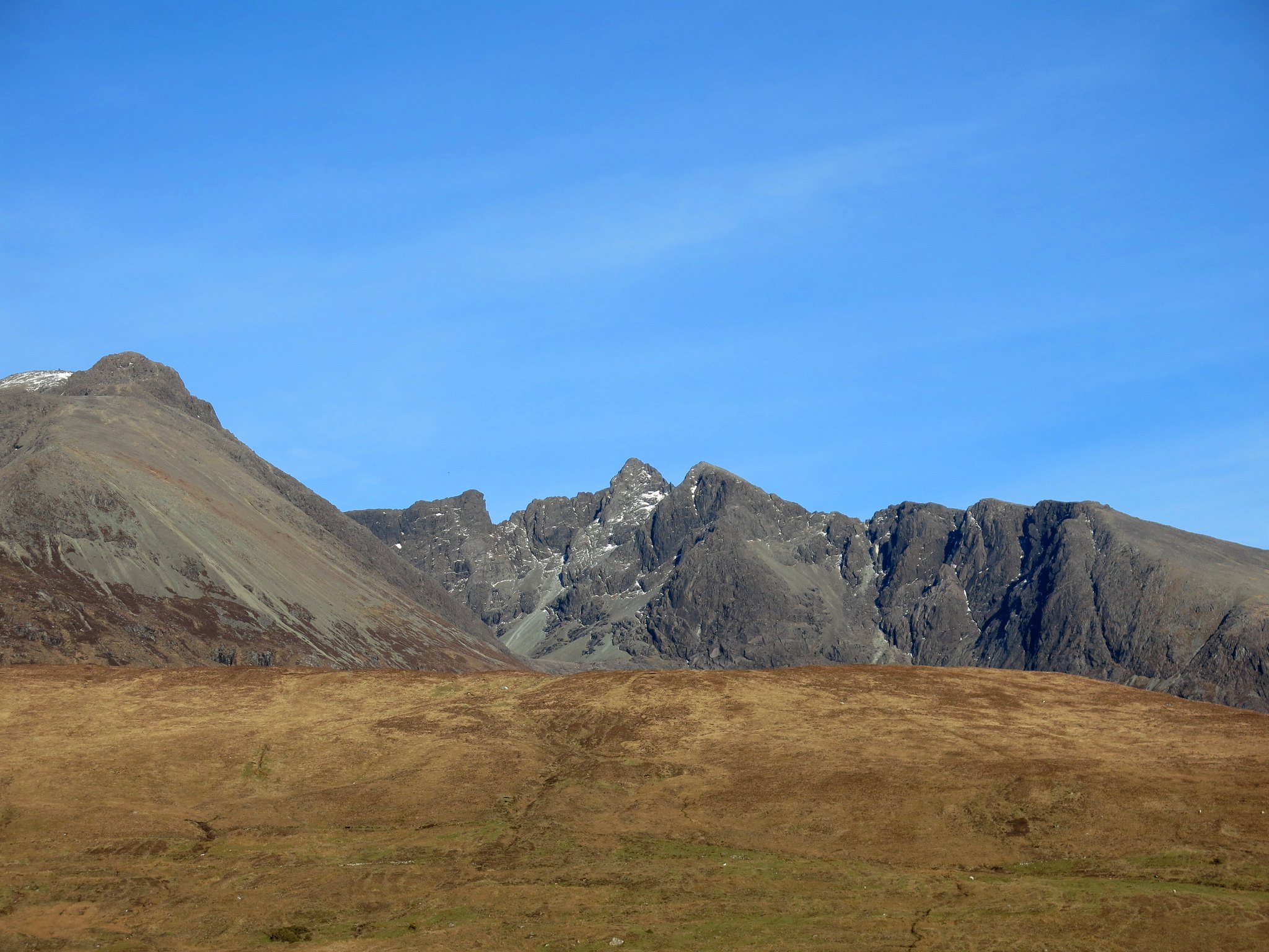
Looking south along the Banachdich ridge to the highest Cuillin peaks.
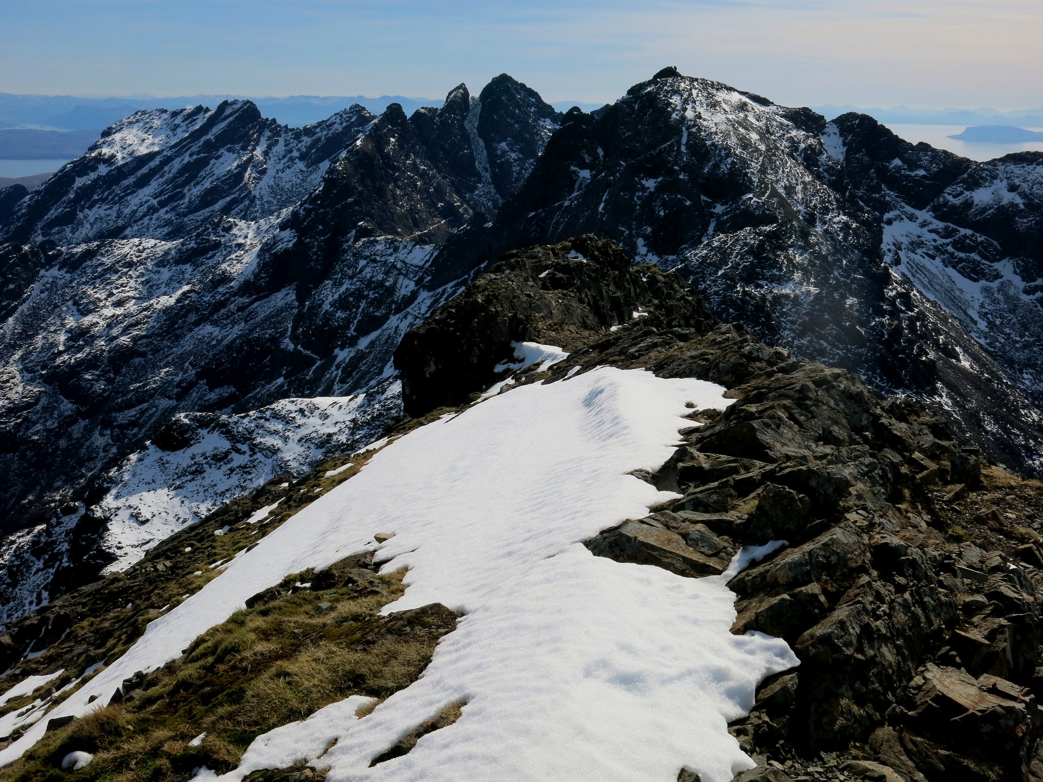 IMG_5087
 by
Half Man Half Titanium, on Flickr
A wider view
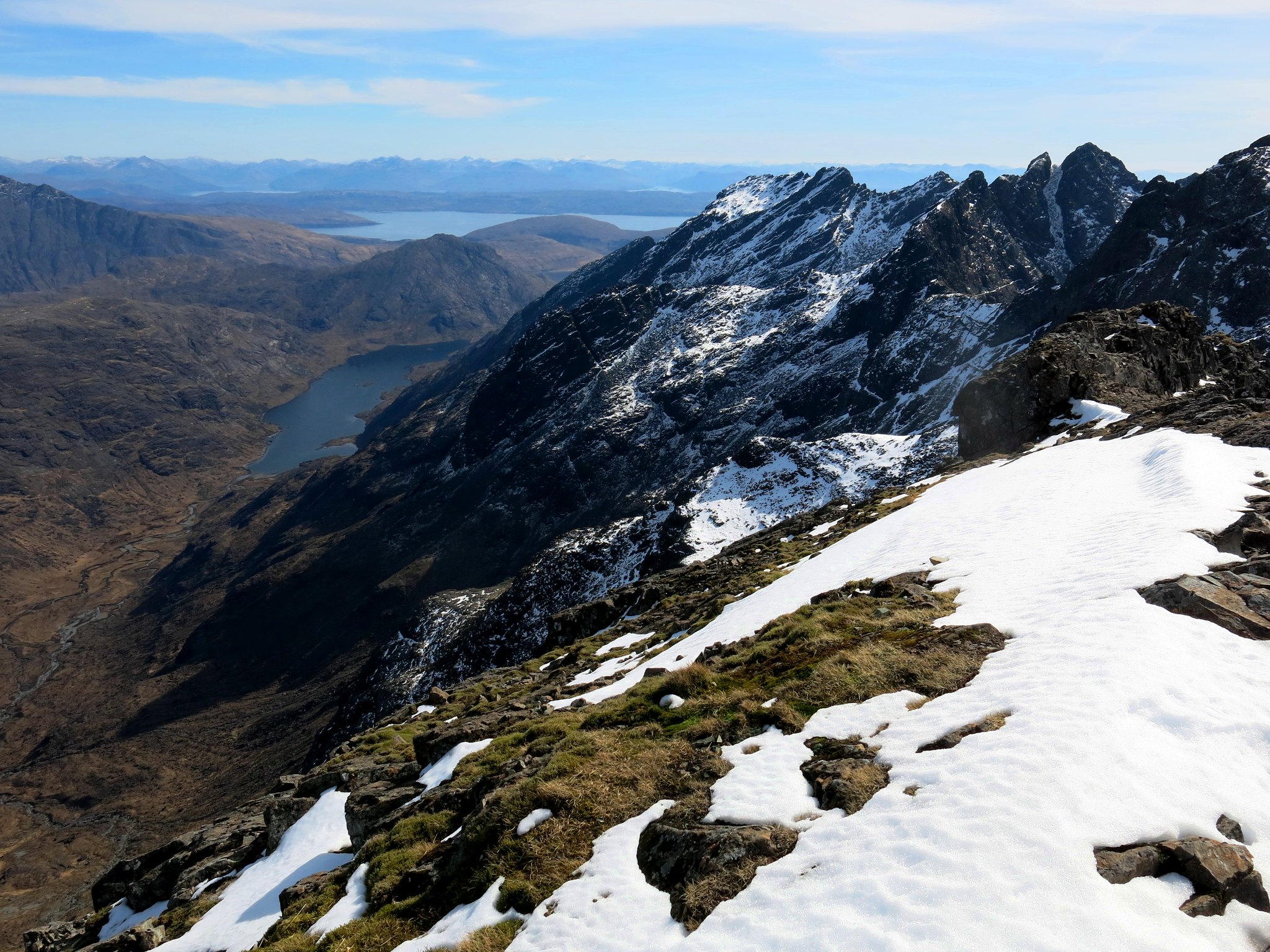 IMG_5091
 by
Half Man Half Titanium, on Flickr
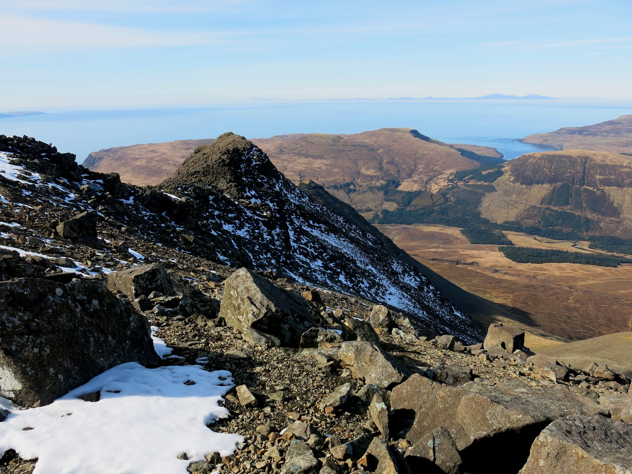
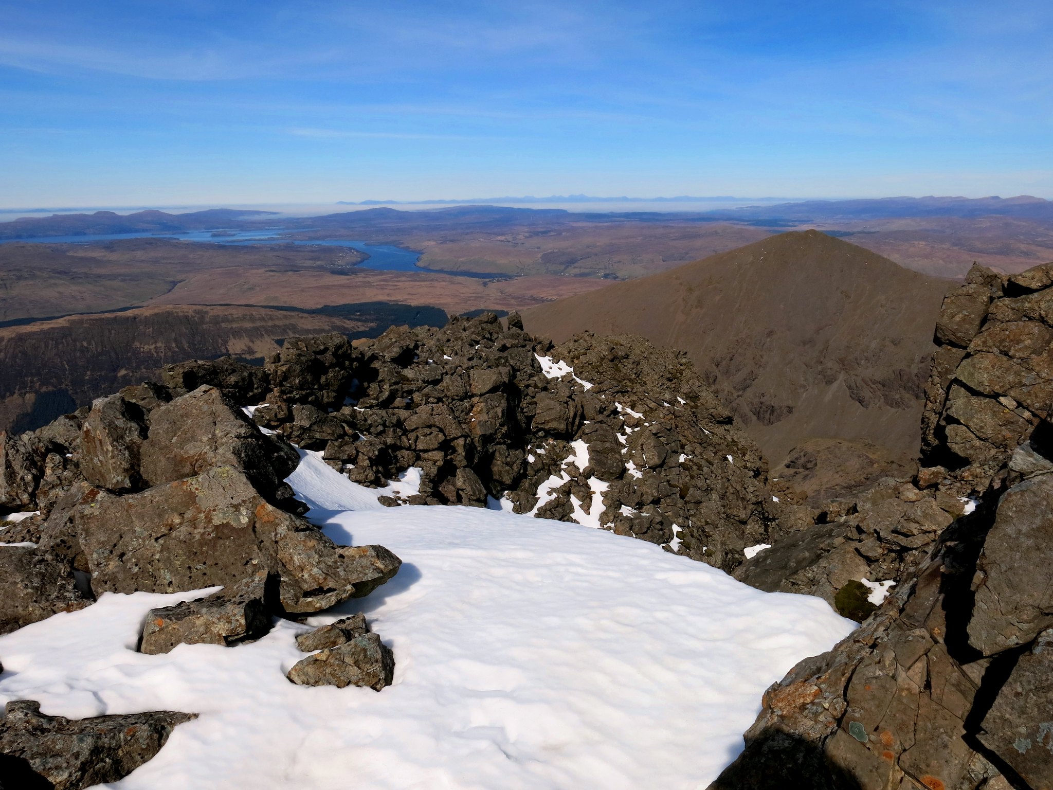
Setting off back down the hill, Sgurr nan Gobhar in the background.
 IMG_5111
 by
Half Man Half Titanium, on Flickr
Descending the stony slopes back down in Coire Eich.
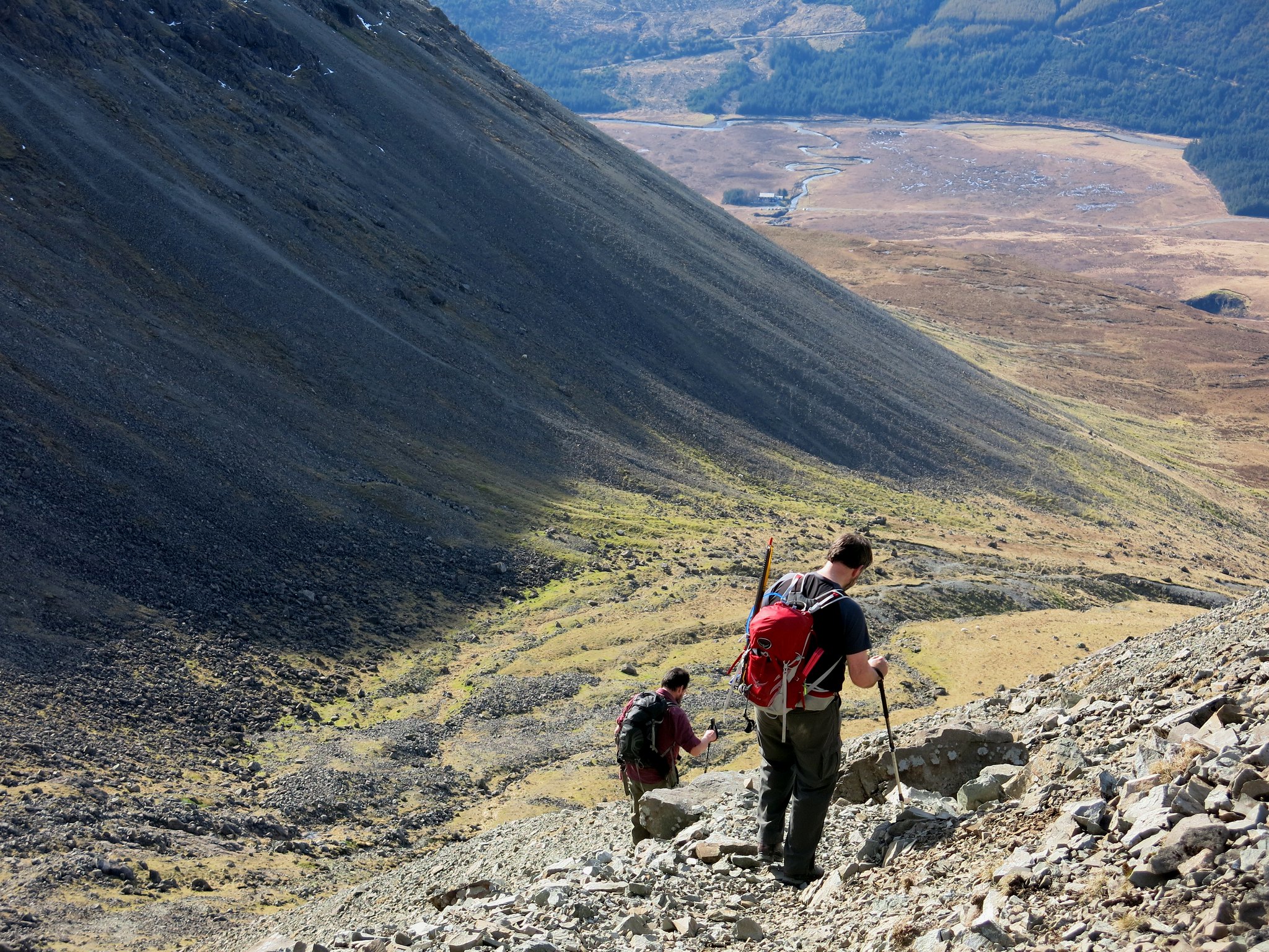 IMG_5129
 by
Half Man Half Titanium, on Flickr
More stones. There are a lot of them in the Cuillin.
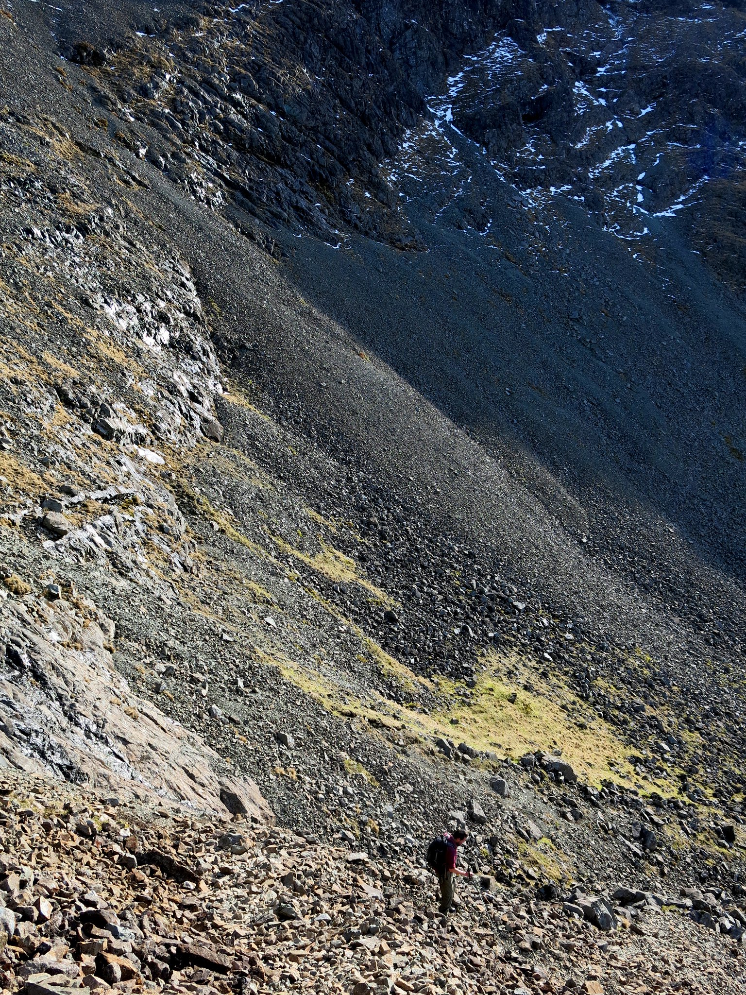 IMG_5136
 by
Half Man Half Titanium, on Flickr
Looking back: afternoon sun on the hills.
 IMG_5149
 by
Half Man Half Titanium, on Flickr
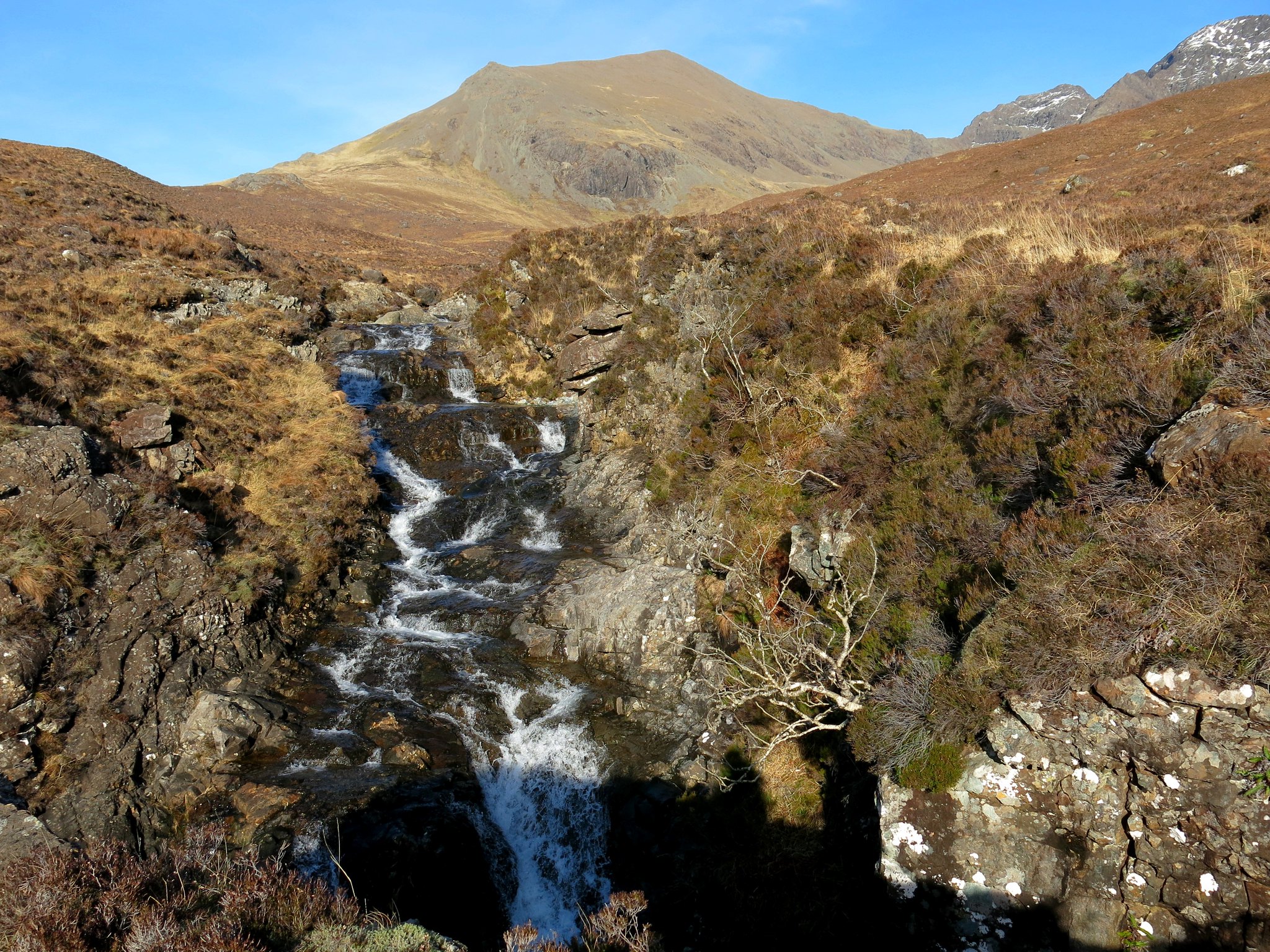
A waterfall and pool near the road.
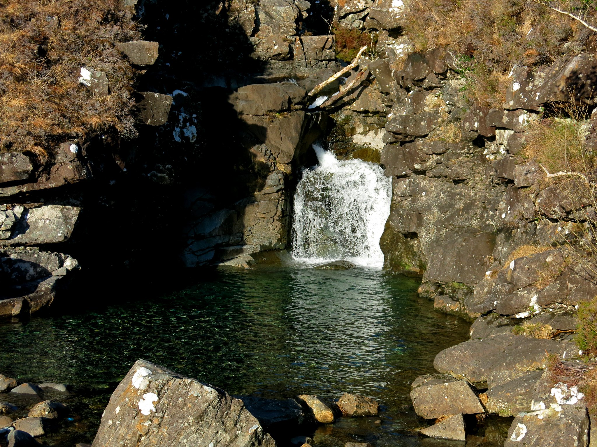 IMG_5160
 by
Half Man Half Titanium, on Flickr
Early evening sun on Coire Lagan, from the Glenbrittle seaside car park.
 IMG_5171
 by
Half Man Half Titanium, on Flickr
A trip to the beach - Loch Brittle.
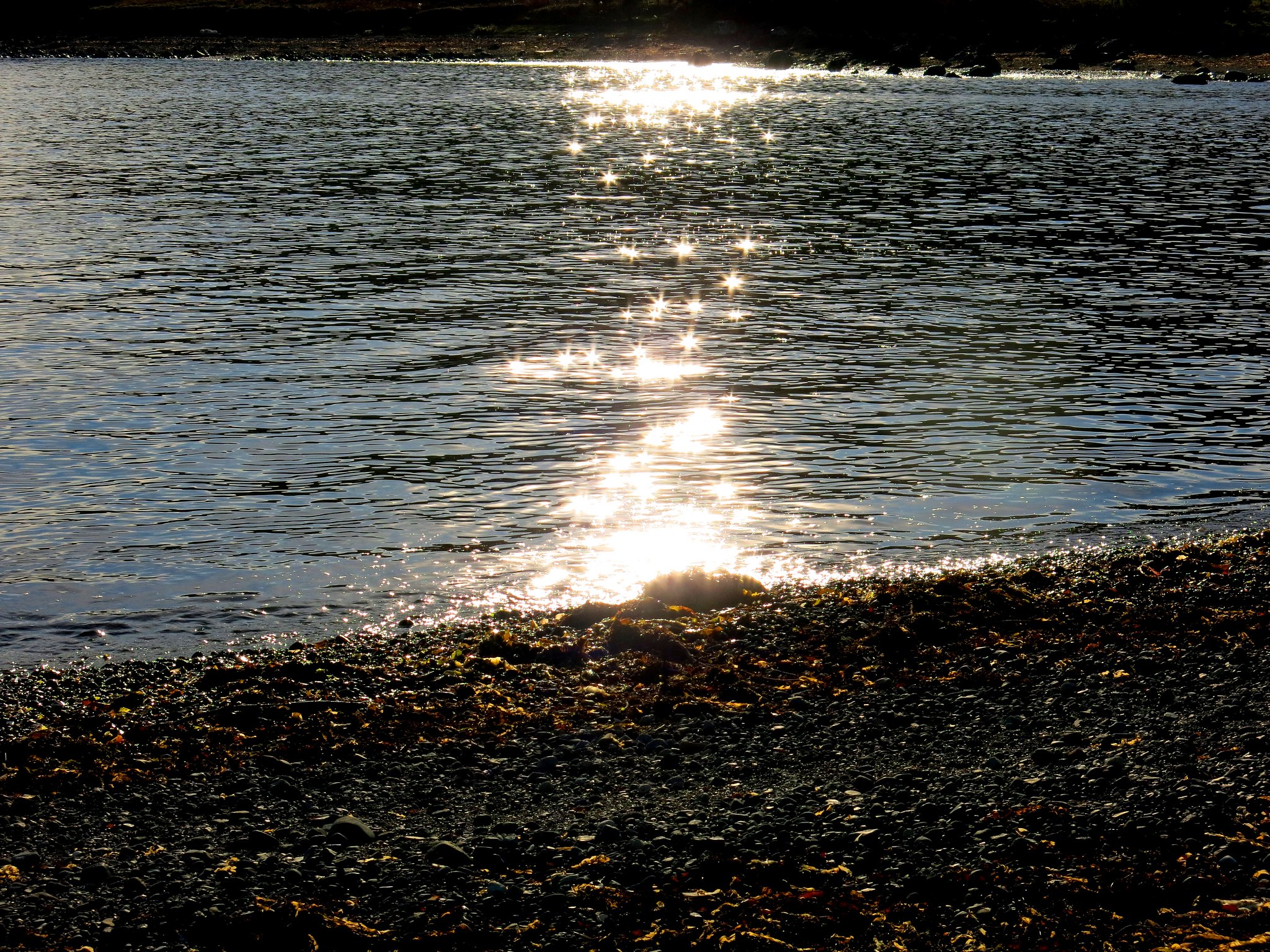 IMG_5180
 by
Half Man Half Titanium, on Flickr
Evening light on the Red Cuillin across Loch Harport, the perfect accompaniment to a pint or two of Skye Red. The dog, by the way, is not a real one.
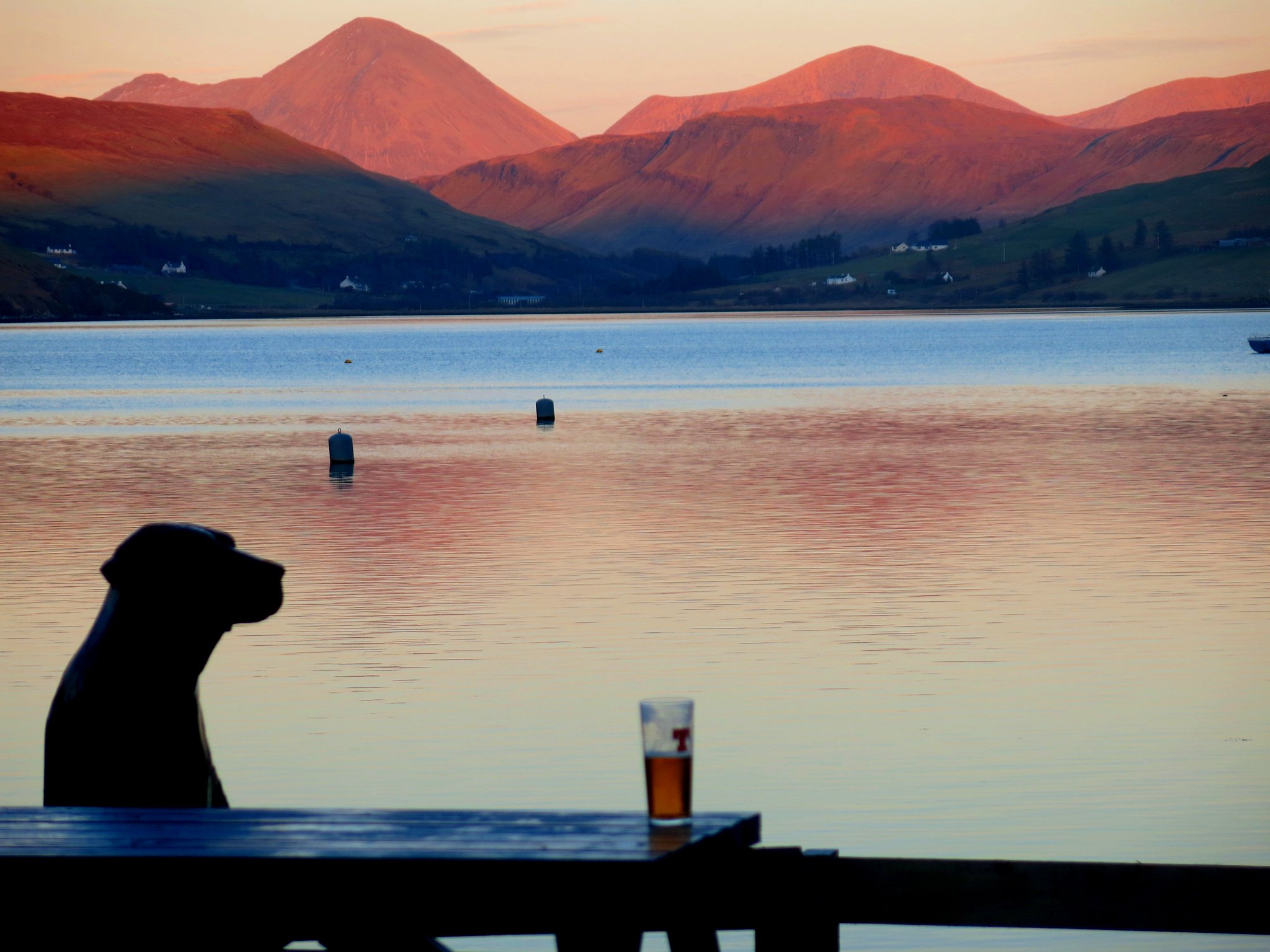 IMG_4970
 by
Half Man Half Titanium, on Flickr
