free to be able to rate and comment on reports (as well as access 1:25000 mapping).
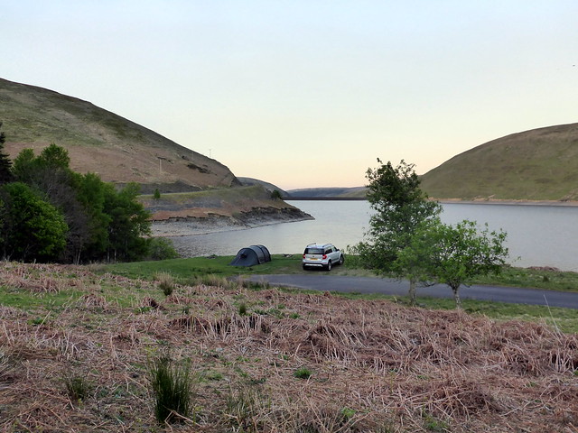
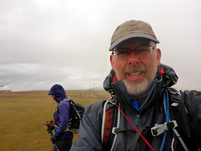
After last week's pleasant stroll around some Skye Marilyns I rather fancied a return visit. However, the weather wasn't playing ball and I was preoccupied to an extent with the upcoming trip to Ireland so didn't want to go too far from home. A trip down to the Borders was a reasonable compromise - get some of Allison's remaining Donalds tackled and maybe a little 30k circuit of 5 Marilyns from Ettrick into the bargain. Travelling down the M74 in the late afternoon/early evening is always such a pleasure - we were delayed on the M8 by a car fire then the usual slow traffic through the roadworks meant that we didn't get to the Megget Reservoir til 7pm - almost 3 hours to travel less than 120 miles, most ostensibly on "motorway". It was a nice evening too - had we got down sooner might well have stopped for a hill. As it was we set up the tent, enjoyed a meal outside on the chairs before turning in as the light faded. A quiet night except for a mousey visitor. This was to become a regular feature of our nights.
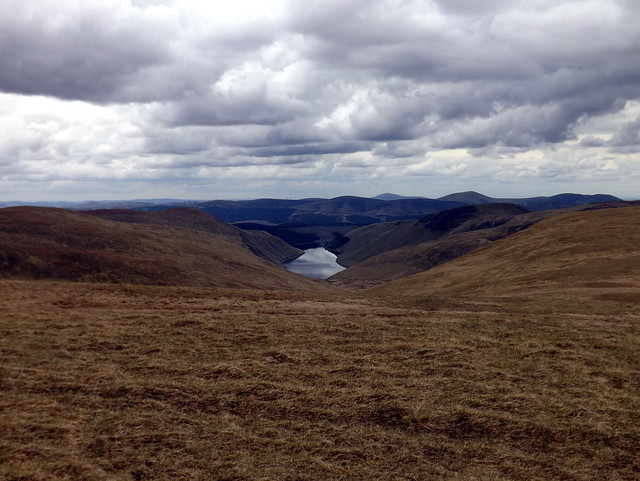
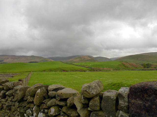
Our pitch for nights 1 and 3
 P1150739
 by
Al, on Flickr
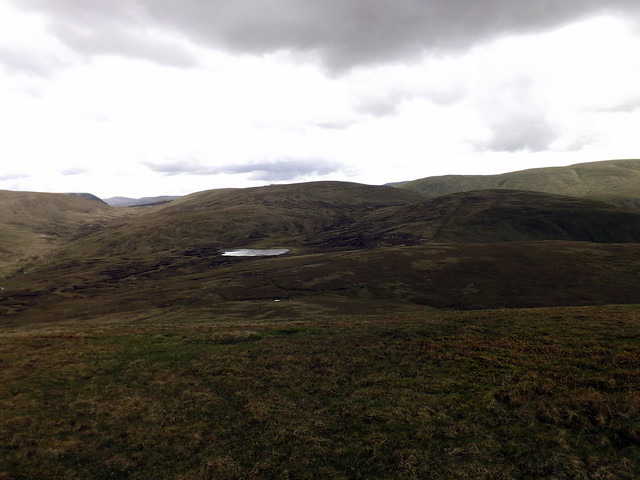
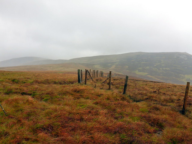
Megget
 P1150738
 by
Al, on Flickr
 DSCF2595
 by
Al, on Flickr
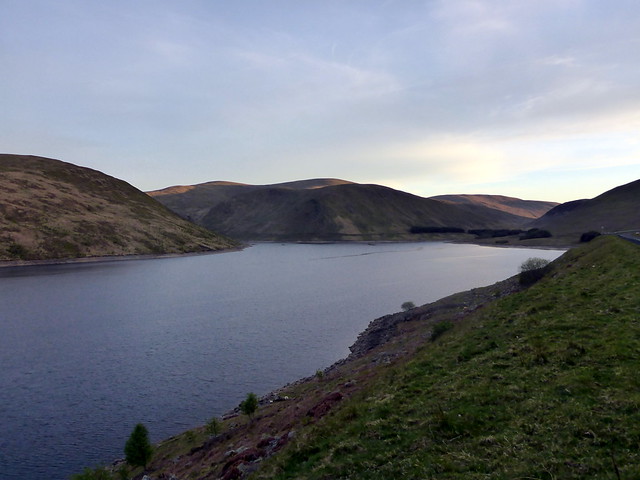
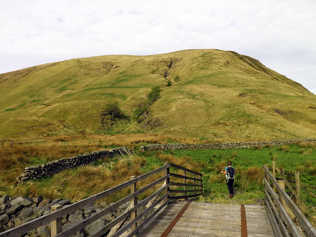
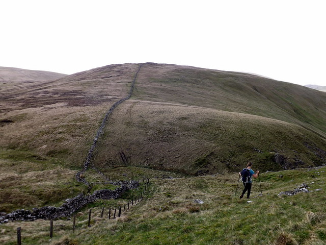
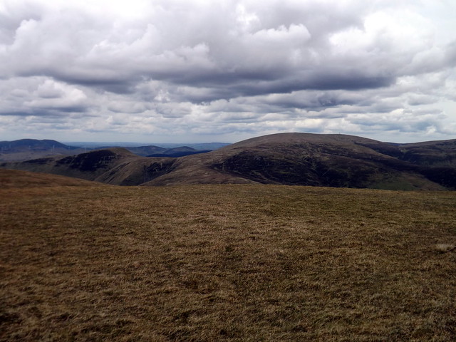
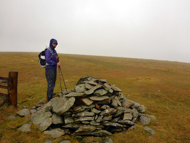
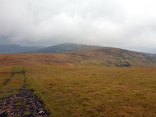
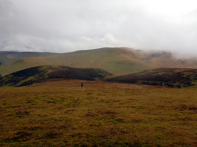
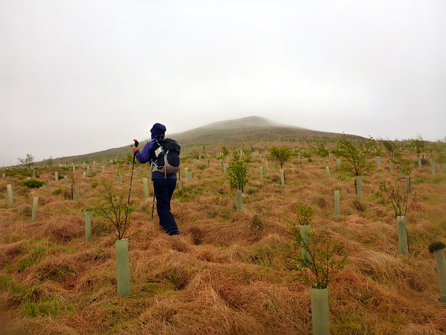
Friday's target was the Linnfoot hills, starting from the east end of the Talla Reservoir. I'd done the circuit in poor visibility, [actually that's nonsense - just my memory playing up, visibility was reasonable, having just checked back] so was quite keen to repeat with better views. It was a clear day, some clouds which darkened and multiplied as the day progressed. A steep pull from the roadside up to the trig on Garelet Hill, following animal tracks. We surveyed all the surrounding wind farms, all slacking for lack of wind. It's then a fine high level tramp over Erie Hill, Garelet Dod and Din Law with a drop into boggy ground before climbing Cape Law. The week's rain had replenished the moisture level there and in Rotten Bottom, although I've seen it wetter. We paused for lunch on Games Castle.
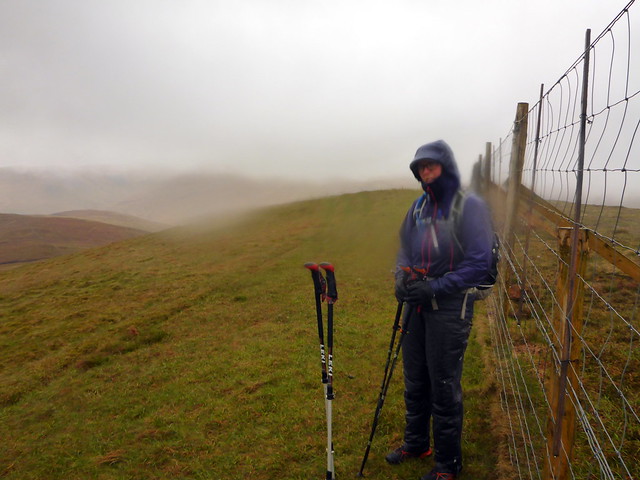
Talla reservoir
 DSCF2596
 by
Al, on Flickr
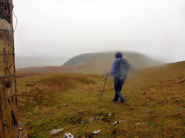
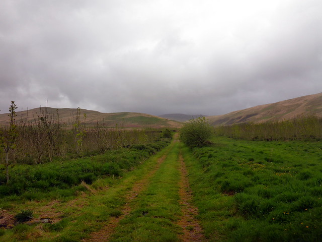
Start of the walk
 DSCF2597
 by
Al, on Flickr
Looks like the mice have been up here too
 DSCF2598
 by
Al, on Flickr
 DSCF2599
 by
Al, on Flickr
 DSCF2601
 by
Al, on Flickr
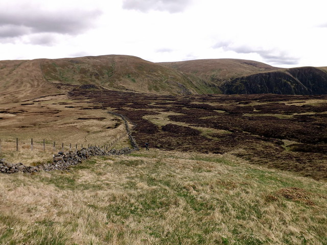
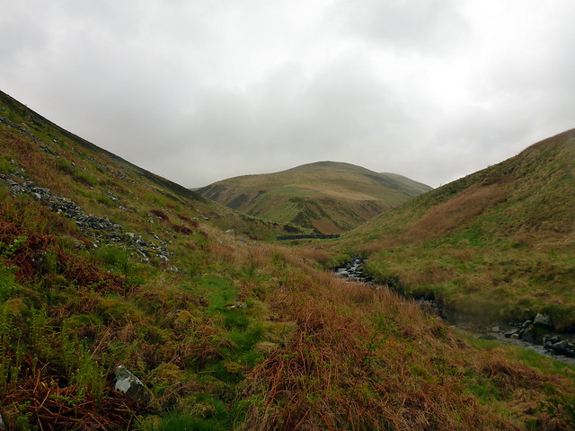
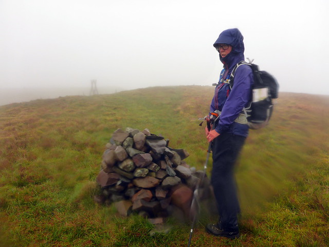
Din Law, Gameshope Loch
 DSCF2602
 by
Al, on Flickr
 DSCF2603
 by
Al, on Flickr
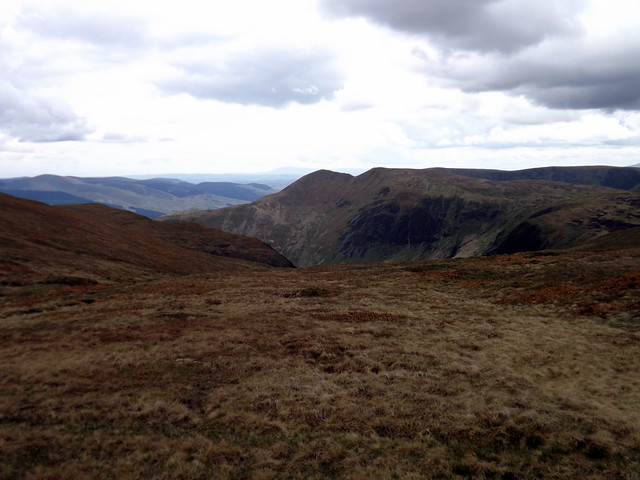
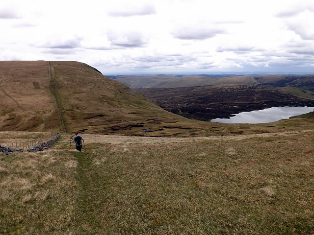
White Coomb, across Rotten Bottom
 DSCF2606
 by
Al, on Flickr
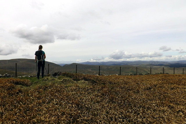
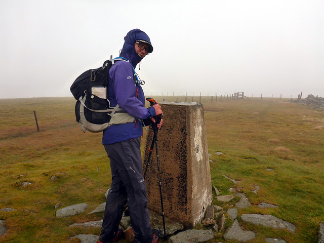
From here we wandered along the fence line to Firthhope Rig. White Coomb looked invitingly close, with minimal re-ascent so we included that in the round. Back to Firthhope then a nip up to Molls Cleuch Dod before returning to Firthybrig Head and heading over to Lochcraig Head. I'd decided it looked easier coming off over Nickies Knowe than Carlavin Hill, which I'd done last time - it was, though you'd best keep to the fenceline that heads straight to the Megget Stone if you want to keep dry feet. I nipped back for the car, just over a mile and collected Allison before returning along to the Megget Reservoir. By this time I'd abandoned the idea of the Marilyns and planned to pick off Cramalt Craig/Dollar Law then Talla Cleuch Head on the Saturday, leaving Whitehope Heights, Dun Law & Louise Wood Law for Sunday. Consequently we looked to camp along the waterside again, this time using the larger parking area a mile or so along from Cramalt, as our spot from the night before was occupied by a camper van. I'm never keen to leave the tent pitched anywhere road-side if wild camping - too much anxiety

Saddle Yoke from White Coomb
 DSCF2610
 by
Al, on Flickr
Lochcraig Head from Molls Cleuch
 DSCF2612
 by
Al, on Flickr
 DSCF2613
 by
Al, on Flickr
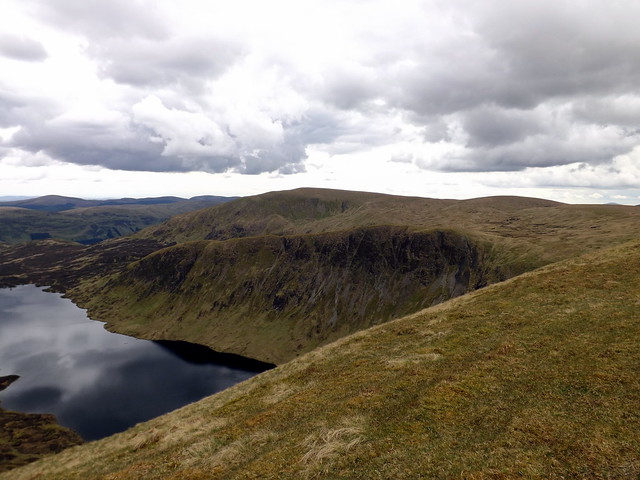
Lochcraig Head
 DSCF2614
 by
Al, on Flickr
Loch Skeen
 DSCF2615
 by
Al, on Flickr
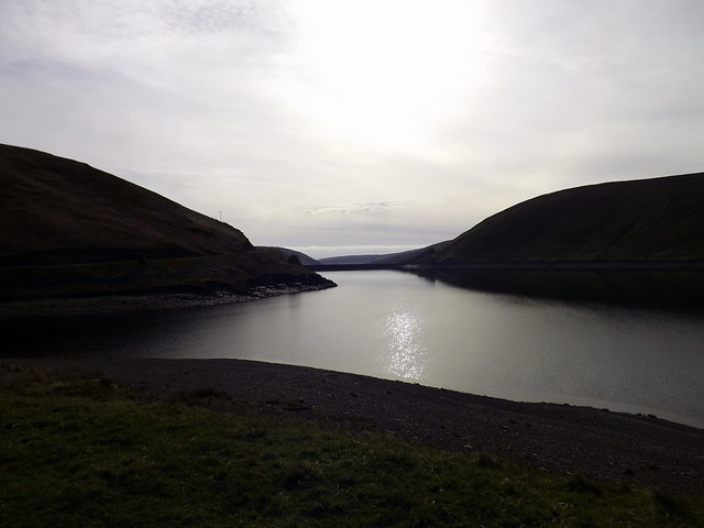
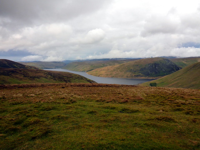
Talla Reservoir
 DSCF2616
 by
Al, on Flickr
 DSCF2618
 by
Al, on Flickr
By the time we got our tea organised the rain had come on and it was a good deal colder now. We retreated for the night, once again wakened by mousey noises after dark eventually fell. Good job all the food stuff is kept in tough plastic boxes or our comestibles would have been nibbled.
Rain overnight and a drizzly looking morning - waterproofs on from the start. We drove back along to Cramalt parking area and set off up the hillside, steeply at first to Clockmore then more gradually up to Cramalt Craig. Clag was down and views repressed. At least we weren't including the New Donald of Hunt Law, Allison not being such a purist/mentalist as myself as I recall it being quite a slog down and back up. Anyway - we followed the fenceline easily to Dun Law and Fifescar Knowe thence to Dollar Law. I'd planned the return leg to follow the Thief's Road initially then drop down onto the bulldozed track following Cramalt Crook back to the road - this proved good going.
Up Clockmore
 P1150741
 by
Al, on Flickr
 P1150742
 by
Al, on Flickr
Cramalt
 P1150743
 by
Al, on Flickr
View to Dollar
 P1150744
 by
Al, on Flickr
Dollar
 P1150745
 by
Al, on Flickr
 P1150746
 by
Al, on Flickr
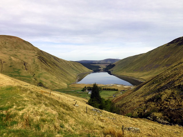
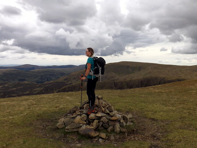
Sopping wet we returned to the car without divesting ourselves of any gear and drove the 4 miles to the Megget Stone to climb Talla Cleuch Head. It was still quite early in the day and I fancied adding on Broad Law and returning over the Simm of Wylies Hill. Naturally I mentioned not a word of this to Allison until much later

She was thoroughly peed off being wet and cold, but the hills have got to be done, haven't they...especially when you get to start at 400m elevation. We stomped up to Fans Law following the deer fence along towards Cairn Law then continuing to the west to Talla Cleuch Head. Clag once again prevented much eye pleasure. After we got to the absent cairn I mentioned my plans for Broad Law and got a "whatever" which seemed good enough. It was an easy stretch up the fence line to the summit - although I was wet through I didn't feel too cold and was in buoyant spirits. I remembered being up on this summit in December 13 in snow and being very chilled. Everything is relative. We dropped down over Wylies Hill which is actually a pleasant way to come down from Broad Law, although the final section to the road is steep and stony. Did pass a recently drowned lamb in a pond

Again I nipped back for the car whilst Allison picked her way more carefully down the final slope.
Talla Cleuch to the left
 P1150747
 by
Al, on Flickr
 P1150748
 by
Al, on Flickr
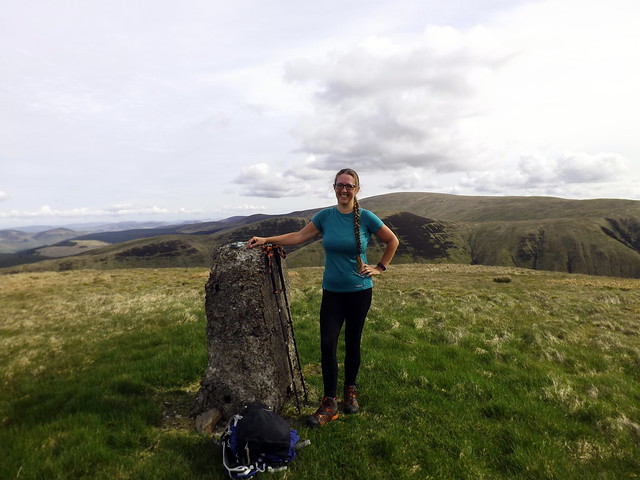
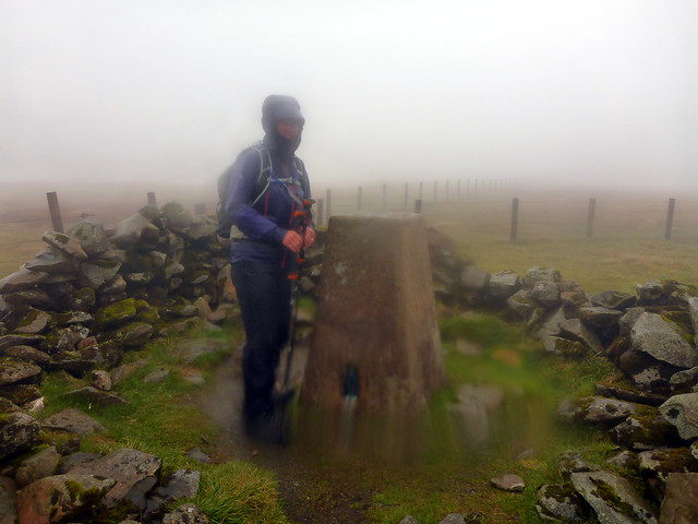
Probably the top
 P1150749
 by
Al, on Flickr
Broad Law
 P1150750
 by
Al, on Flickr
Summit Broad Law
 P1150756
 by
Al, on Flickr
Descent over Wylies Hill
 P1150758
 by
Al, on Flickr
 P1150759
 by
Al, on Flickr
 P1150760
 by
Al, on Flickr
I had intended to head to the campsite in Moffat tonight, but I had reservations about it - the last time we turned up there in April last we were told that the tent area wasn't open yet, none too politely. And i couldn't really be bothered with noisy folk. I decided if our wee spot along the Megget water was free we'd just pitch there. Surprisingly it was (the larger parking area where we'd been last night had several vans, a tent and a gazebo thing erected). Pitched and got the tea on then early bed, Allison to try and warm herself up. Quite a lot of rain overnight, along with the usual mousey vistor.
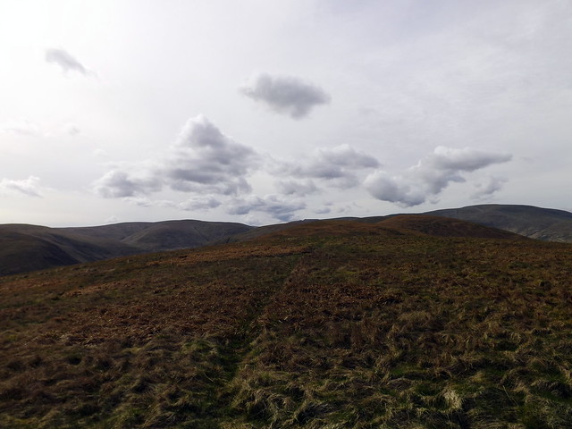
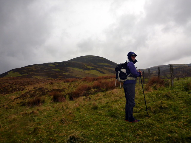
We'd met a walker on the Saturday who had informed us that Sunday was to be a nicer day, so we believed him, naturally. You tend to believe what you want to hear. The rain stayed off for long enough for us to get the tent down and we drove along towards Moffat with Jackson Browne's Late For The Sky album playing. Whitehope Heights was going to be first. I'd done it from the Devil's Beef Tub in just over 1.5 hours last time, but I fancied a change of route and wanted to take in another Corbett (well second round is starting to beckon to me...) so looked at an alternate route from Ericstane that seemed to fit the bill. Up the Annandale Way to Spout Craig then along the top to Whitehope Heights, continuing along to Hart Fell and down over Arthur's Seat - I reckoned it would be about 13k, leaving plenty time to polish off Louise Wood and Dun Law. Hmmm...
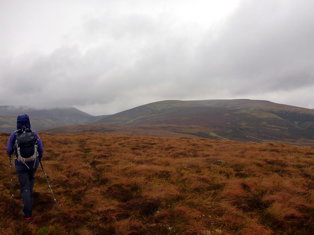
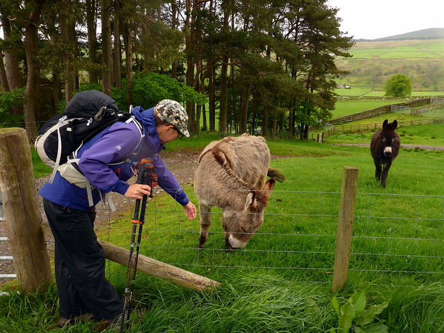
We arrived at a parking area outside a farm building with 3 outher carfulls of walkers already there assembling themselves. We squeezed in at the end and got ready to set off. Dry at the moment but rain looking imminent. We walked up towards Ericstane and turned off left onto a farm track/right of way that I assumed met up with the Annandale Way (hint - it didn't). After some faffing about around some houses including a sojourn through a donkey field we were sure we were on the right track. A little further along, a grassy track headed left up Scawd Law whilst the main track continued to the right. Foolishly I kept to the main track and found that we'd reached a footbridge at the bottom of Billscleuch Moor - this was the wrong cleuch and would take us up to Hart Fell. Recalculating, I led us along the stream to the foot of Middlefield Rig which at least led directly to Whitehope Heights. A deer fence to cross then deep mossy tussocks in a replanted zone combined with clag and ever heavier rain had Allison exuding joy at every step. Eventually we reached the cairn on Whitehope, found that the stile across the deer fence had been vandalised meaning another fence climbing required. We met up with three of the group of walkers from the start who had come over Hart Fell.
It's up there...somewhere
 P1150761
 by
Al, on Flickr
 P1150762
 by
Al, on Flickr
 P1150763
 by
Al, on Flickr
Realizing my mistake - we need to make for the hill straight ahead
 P1150764
 by
Al, on Flickr
 P1150766
 by
Al, on Flickr
Summit Whitehope
 P1150767
 by
Al, on Flickr
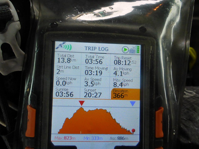
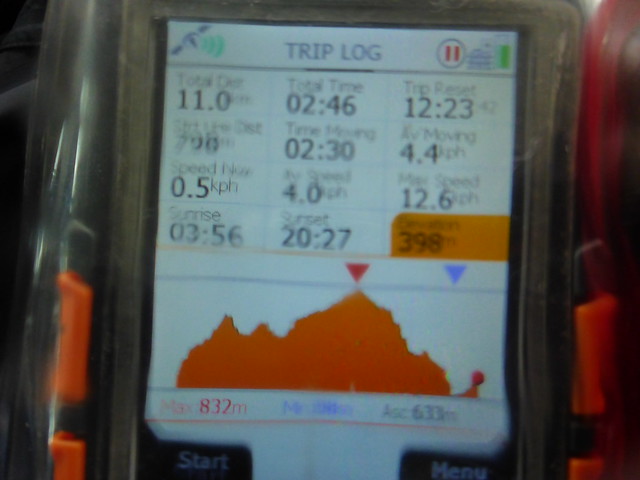
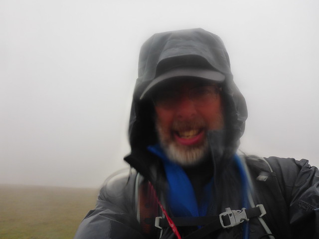
Lashing our mainbraces we started off for Hart Fell. easy at first then a drop of 100m or so after Whitehope Knowe and a steepish uphill to Hart Fell. Clag rendered all impervious to the eye, the wind cut to the bone and I was starting to get not just very wet but very cold as well. We made it to the trig point and sought some shelter from the windbreak - unfortunately the wind was cutting across this. Managed to have lunch and to get the jetboil working for a much needed cup of coffee - my hands were barely working they were so cold by this point. Descent was a pleasure - clag, pouring rain and strong wind combining to make an easy route challenging. We finally made it down below the clag after a small tantrum from me and much scrutiny of the GPS and compass and traipsed the remainder of the track back to the car, utterly soaked and chilled. Neither of us mentioned the other two hills we had originally intended to do, just got in the car, put the heating and the heated seats on and sped back up the M74. I still felt chilled when I got home until I'd luxuriated in a hot shower for a while. So - only 9 of an intended 11 Donalds managed and two of the wettest days we've been out in for some time. Hope it's drier in Ireland.

Summit Hart Fell
 P1150768
 by
Al, on Flickr
 P1150769
 by
Al, on Flickr
 P1150770
 by
Al, on Flickr
