free to be able to rate and comment on reports (as well as access 1:25000 mapping).
It's been quite a year for the Sick Kid. Having managed the fastest Graham round recorded by a woman in April then the Furths last month it was now time for her to complete her Donald round, begun in the winter of 2015/6 and cruelly interrupted by her back injury. One hill at either end of the Ochil range remained for her - I'd done the same pairing back in January 16 whilst she was laid up in the tent / sat reading in the car. viewtopic.php?f=9&t=59466
We had considered doing a linear traverse of the entire Ochil range, which had its attraction but would require two cars and therefore a degree of co-ordination. So we opted for the hills as two singles. Arriving down in Alva on Saturday afternoon we pitched up at The Woods caravan site - the first time we've visited it in summer.
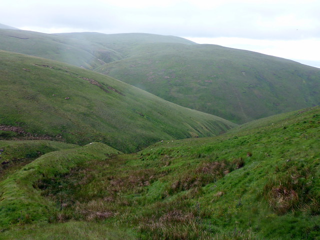
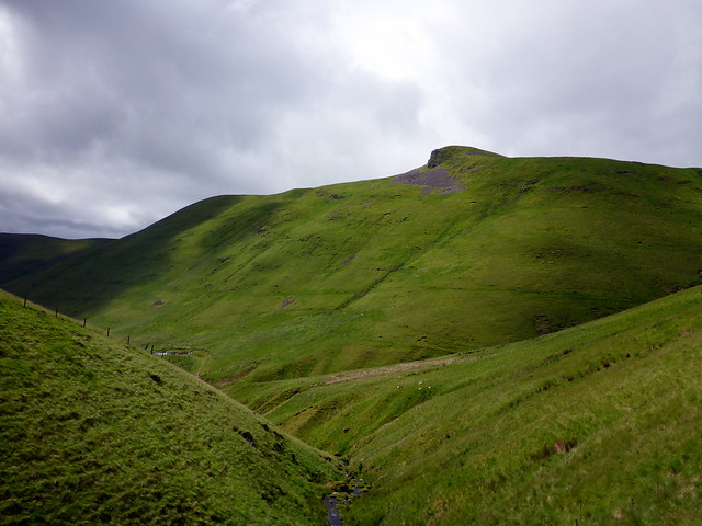
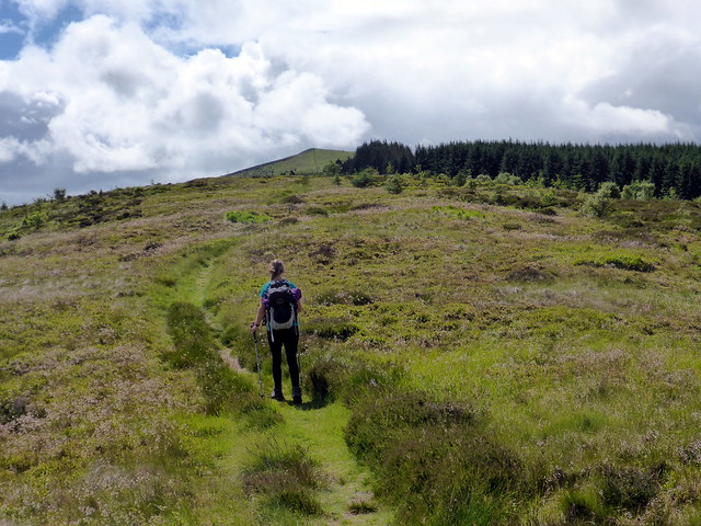
I had swithered about doing Blairdenon from the Sherrifmuir road, which would be a shorter out-and-back, but in the end opted for the circuit from Alva Glen. We drove to the parking spot in the Glen and set out - the weather looking surprisingly good for a Completion Day. Following the Alva Burn we gained the open hillside under the Torrys and ascended the steep path to the summit. The weather was extremely changeable - hot and sweaty where sheltered but an icy wind that cut right through you when exposed. Add in frequent short bursts of rain for good measure. We journeyed along the hilltop towards Bengengie with its craggy top then over some boggier ground on the Menstrie Moss. Although I'd come a different route i remembered the unassuming summit of Blairdenon was not much further from here - cross a fence and there it is - one more to go now.
Warnings at the start of the Alva glen route
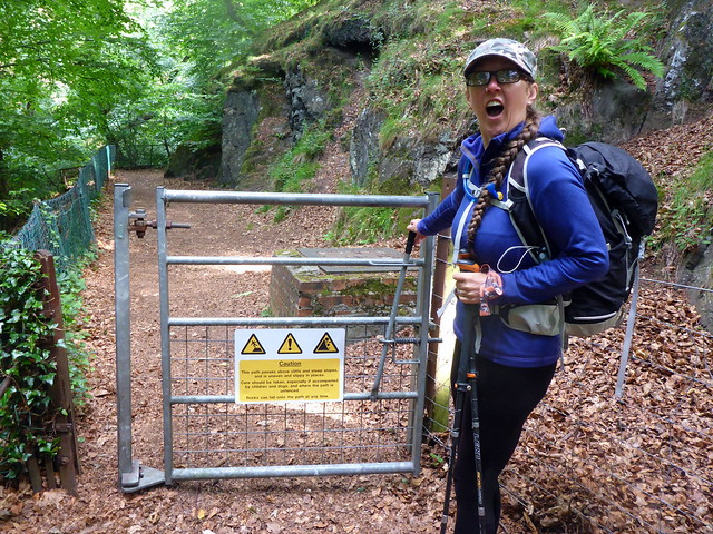 P1160129
 by
Al, on Flickr
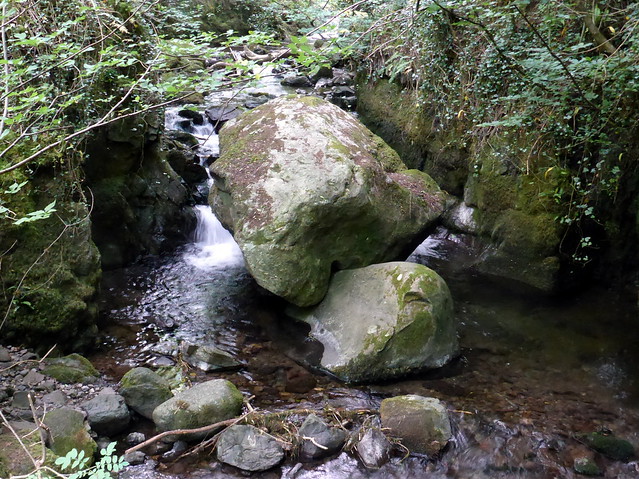 P1160130
 by
Al, on Flickr
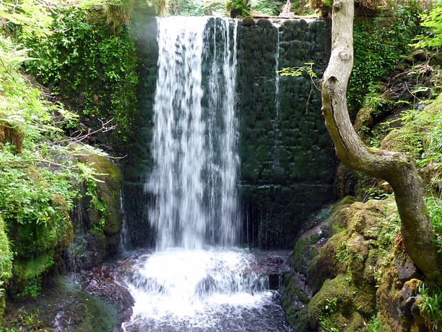 P1160131
 by
Al, on Flickr
 P1160132
 by
Al, on Flickr
looking back towards Alva
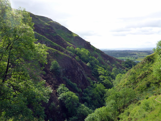 P1160133
 by
Al, on Flickr
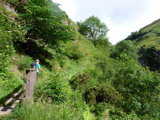
Steep going up to the Torrys
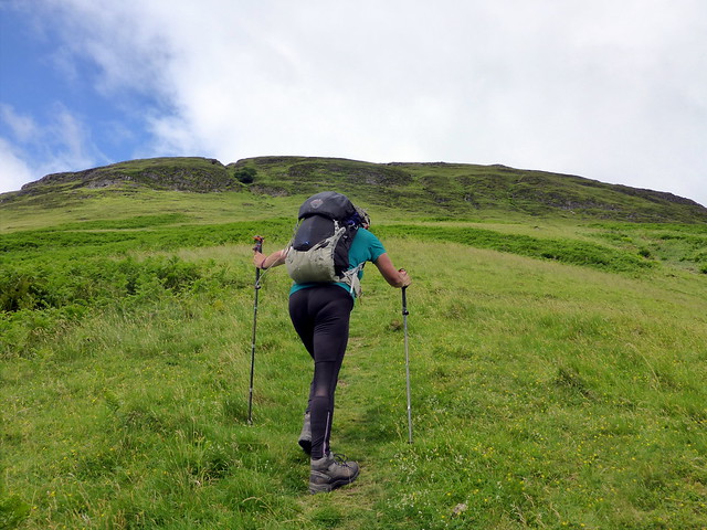 P1160134
 by
Al, on Flickr
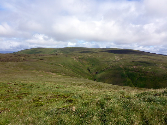
Bengengie
 P1160136
 by
Al, on Flickr
Blairdenon
 P1160137
 by
Al, on Flickr
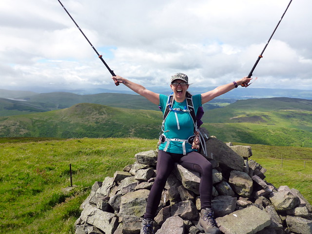
88 down, 1 to go
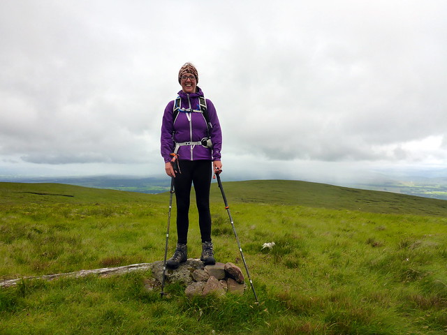 P1160139
 by
Al, on Flickr
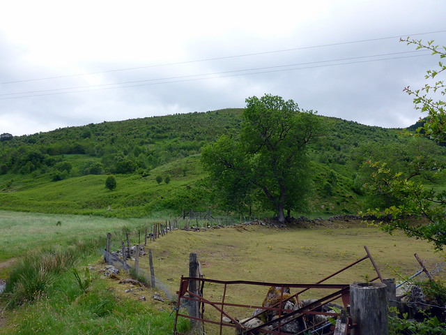
We followed the path from the summit but saw it was heading around the hillside, probably making for Craighorn. I chose a more direct descent route down by the West Cameron Burn, unsettling a number of sheep on the way. We paused when we reached the track for some lunch, having found a semi-sheltered spot to hide from that wicked west wind that had pursued us all weekend. Following the track back under the Nebit we arrived back at the car in around 4 hours.
Down here
 P1160140
 by
Al, on Flickr
View back to Bengengie
 P1160141
 by
Al, on Flickr
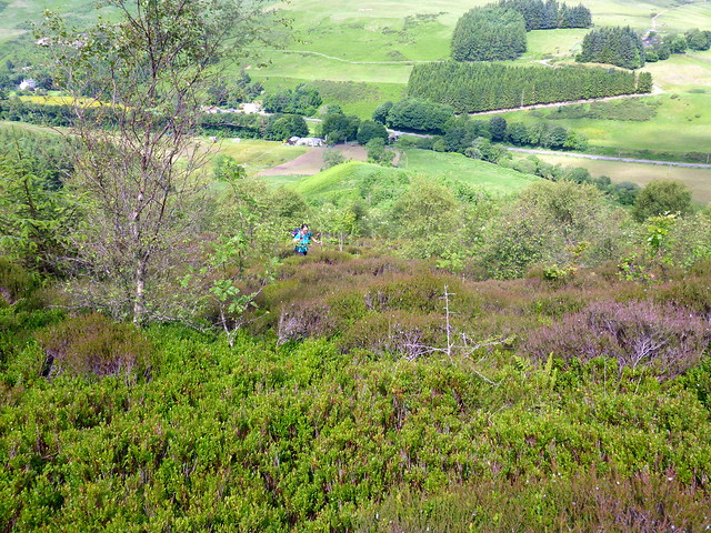
Keeping our kit on we drove around to Glendevon and parked by the old church. Last time I was here it was thick snow - I used my snowshoes - so I hadn't been aware of any paths. I thought we'd just take the same route as I used - a steep climb up Glenquey Hill through scrub and young trees (although in hindsight there was a clear path to follow on the eastern side of the hill

) Anyway we puffed up the hillside til we reached the waymarker at the top then followed a path beside the forestry which led to the summit of Innerdownie.
 P1160143
 by
Al, on Flickr
 P1160144
 by
Al, on Flickr
 P1160145
 by
Al, on Flickr
 P1160148
 by
Al, on Flickr
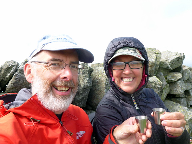
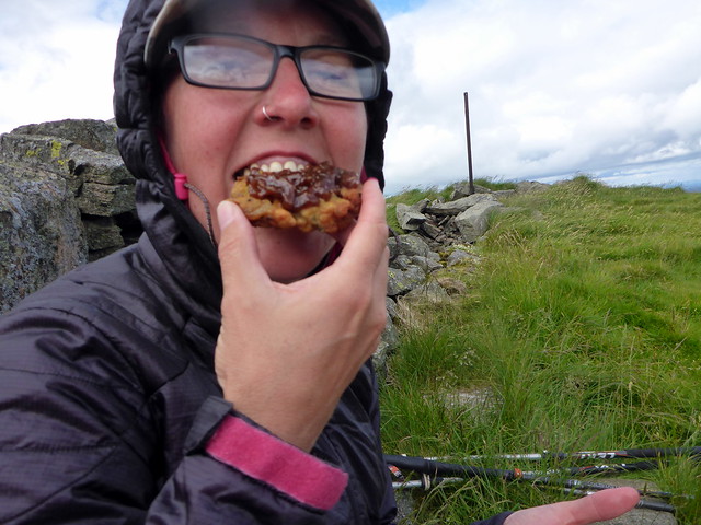
Celebrations followed - Onion Bhajis, Brinjal Pickle and a nice islay malt

We sat for a bit, sheltering behind an old wall near the summit then headed down, following the path this time. Allison delighted that she's got her Donalds bagged - now it's just those pesky Munro Tops that elude her...
 P1160149
 by
Al, on Flickr
 P1160150
 by
Al, on Flickr
