free to be able to rate and comment on reports (as well as access 1:25000 mapping).
I have been waiting for a 2 day weather window and what a window it turned out to be - probably the 2 hottest days in Scotland so far this year and for someone who struggles in the heat, it was going to be tough

As the forecast looked promising I booked into a B&B (Cherrytrees) at Creetown, which is a couple of miles from Newton Stewart and that turned out to a fabulous stay. When I turned up at 6.30pm absolutely shattered my host Ken asked if I fancied a pot of tea and a pastry along with strawberries and ice cream - how many hosts do that. I accepted the tea and cake and I was so thirsty I had 4 cups, just as well it was a big pot.
Day one - Monday 19th June 2017
The plan was to tackle:
Larg Hill, Lamachan Hill & Curleywee
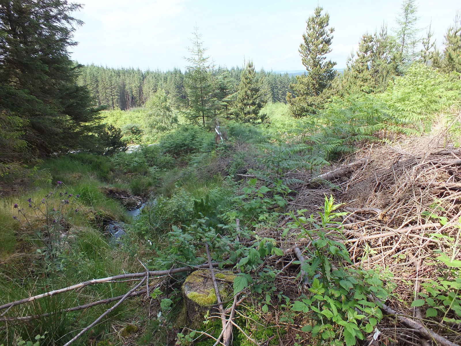
Word of warning for anyone planning to follow my route, the 'fire breaks' on the map are not what they seem, as once again I would have been better off with a machete rather than walking poles
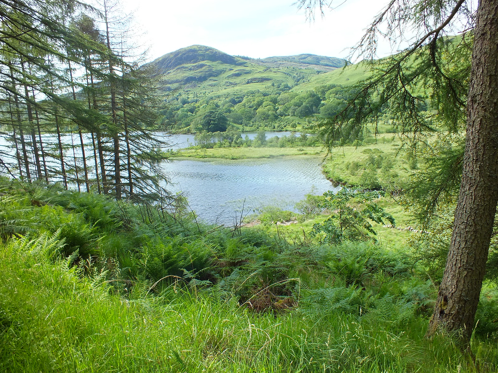
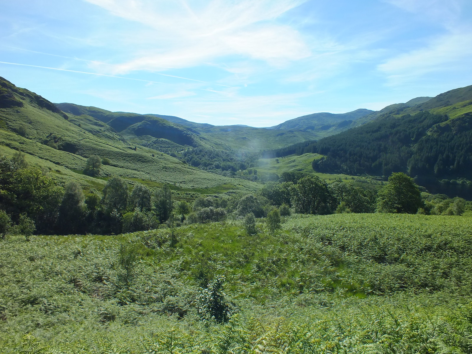
Now onto the first days walk, after my drive through from Fife via Weegieland and then the umpteen speed camera's in Ayrshire. I arrived at the car park just after 10am and was soon off on my way. I hadn't been to Glen Trool since January last year and conditions couldn't have been any different. I was surprised at how few vehicles there were in the Glen Trool area and when I was chatting to my B&B host he told me that he has only 2 bookings in the pipeline and that is right through to September

If anyone reading this has never been to Dumfries and Galloway get yourself down there, it has so much to offer especially for walkers, I agree you won't get the pointy hills like the NW but you can still have a truly superb day


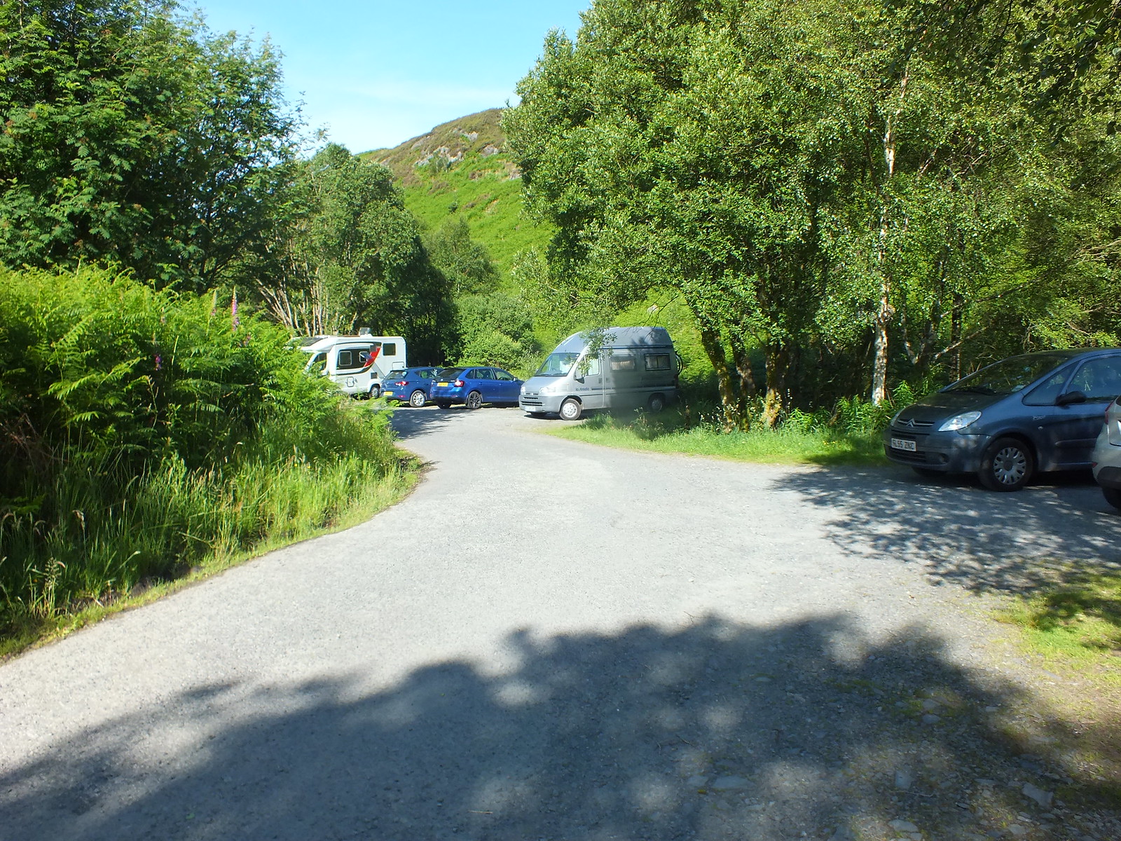
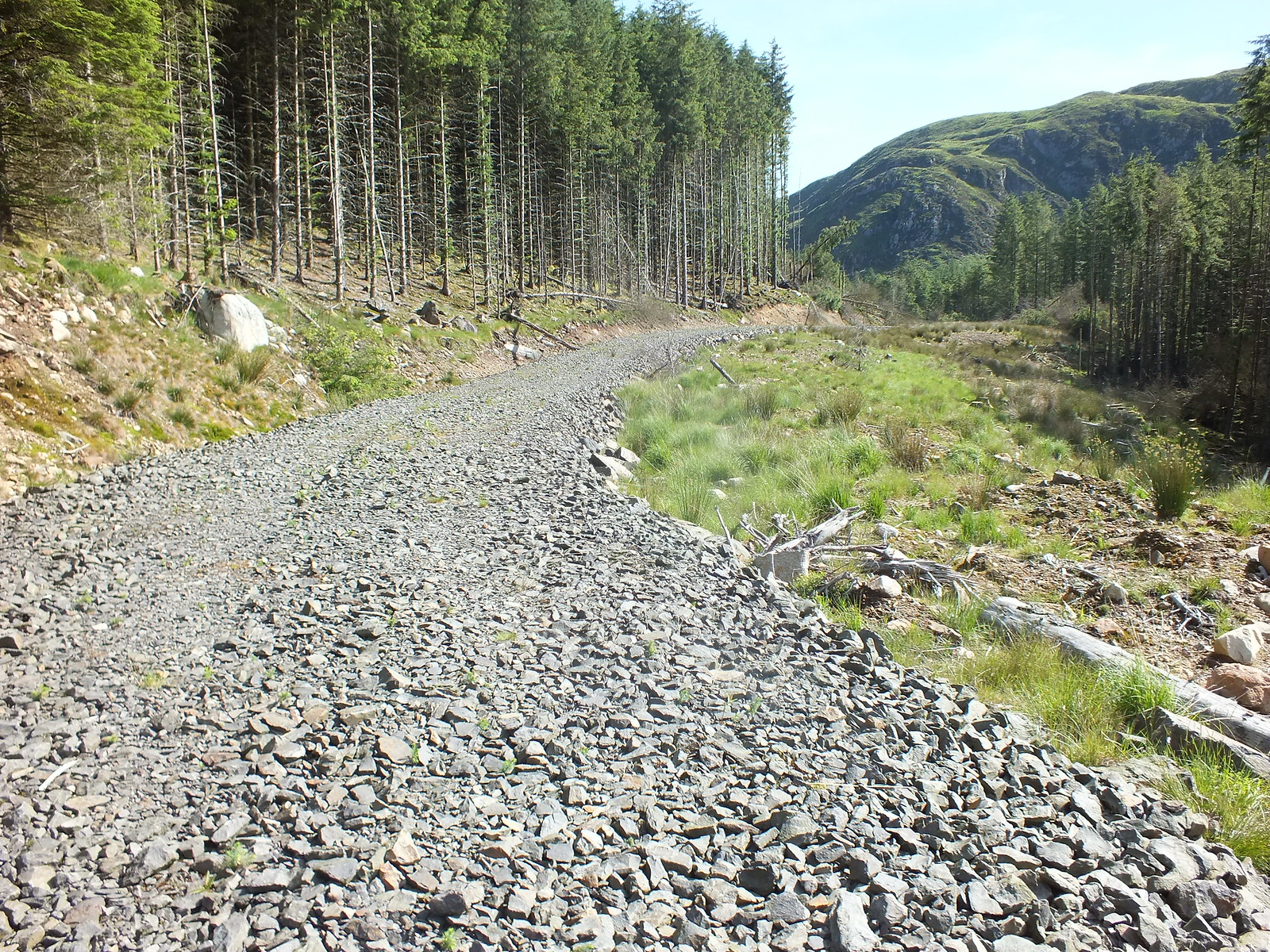
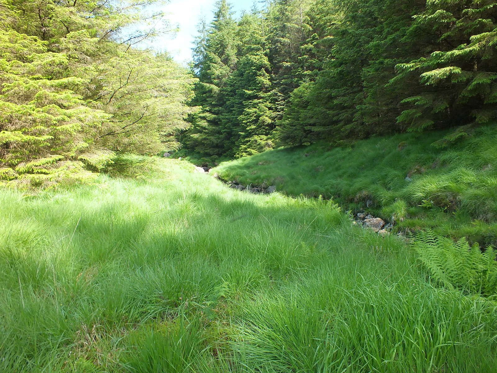
Large parking area and it wasn't busy
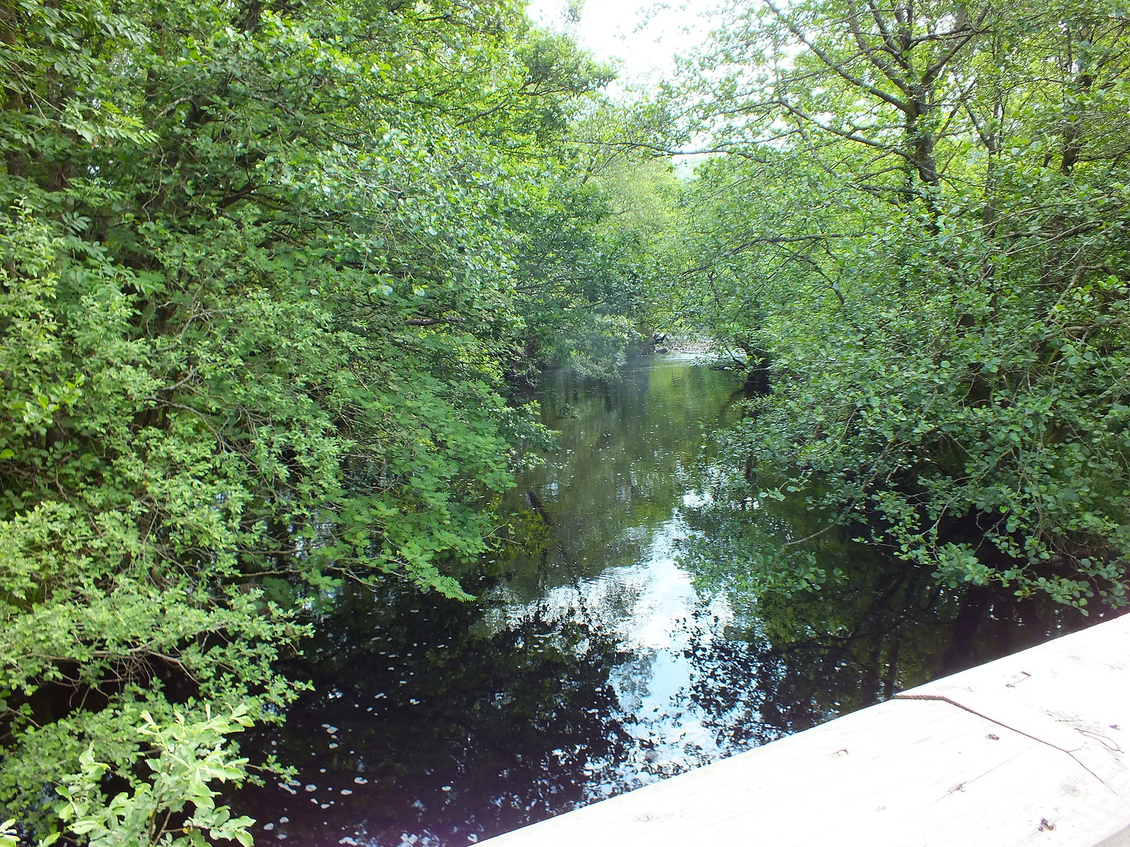
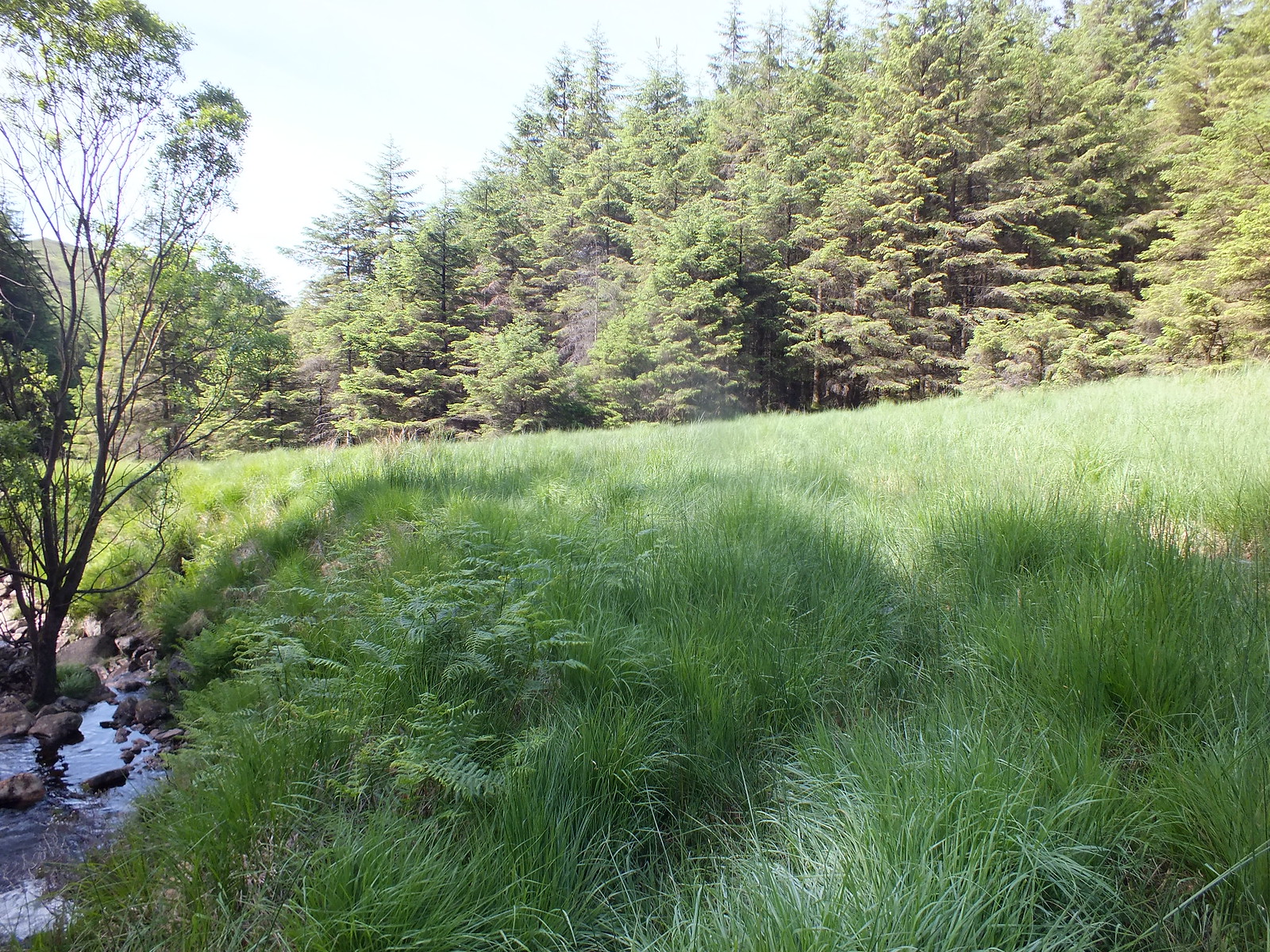
Water of Trool, hardly moving
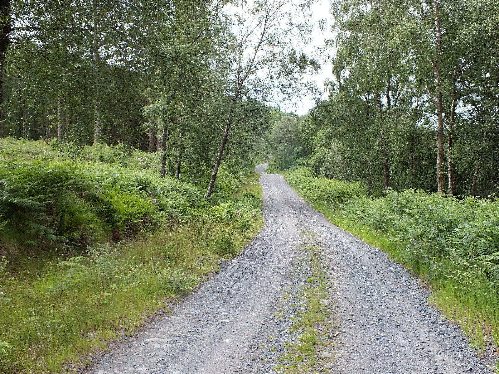
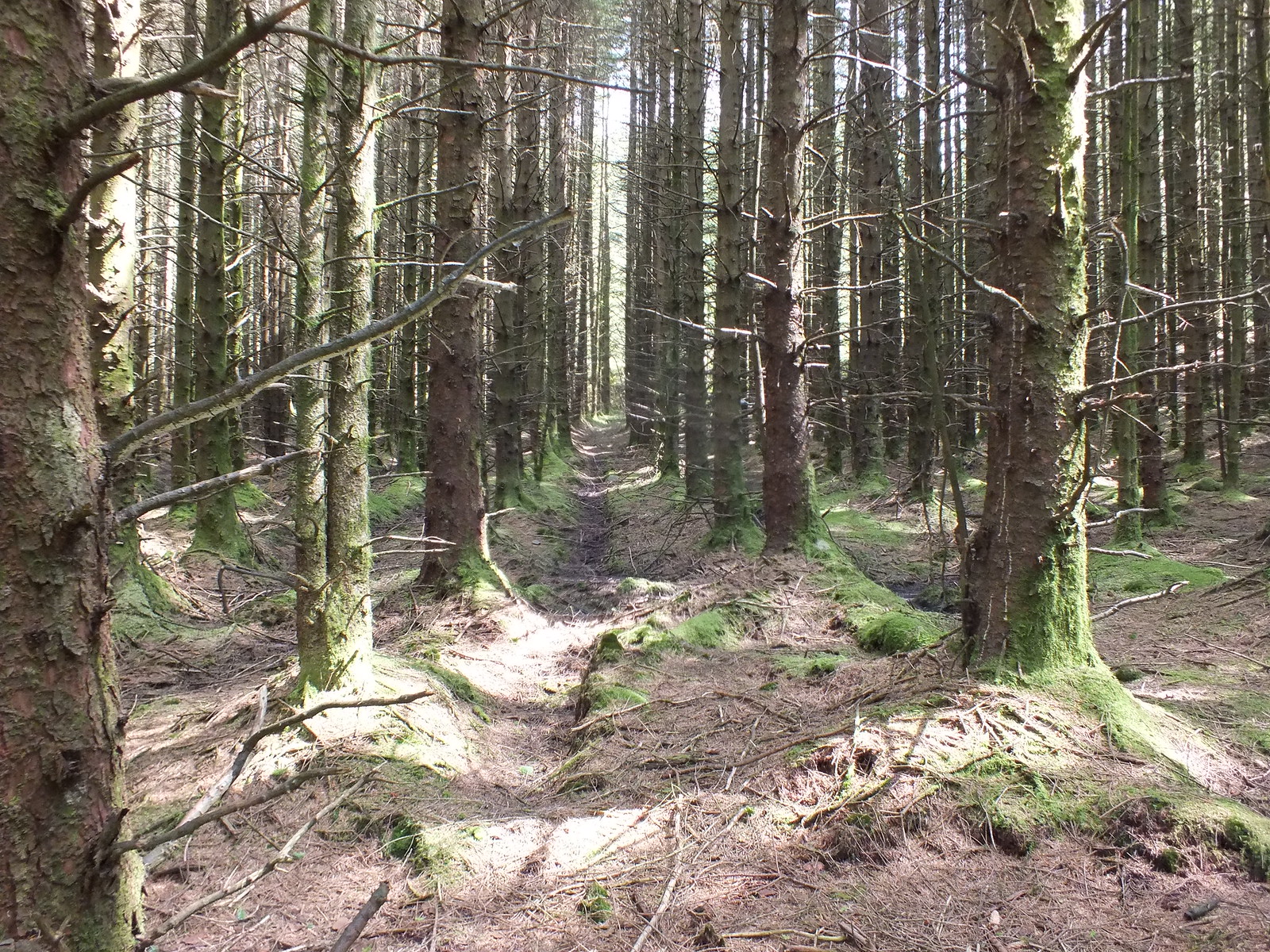
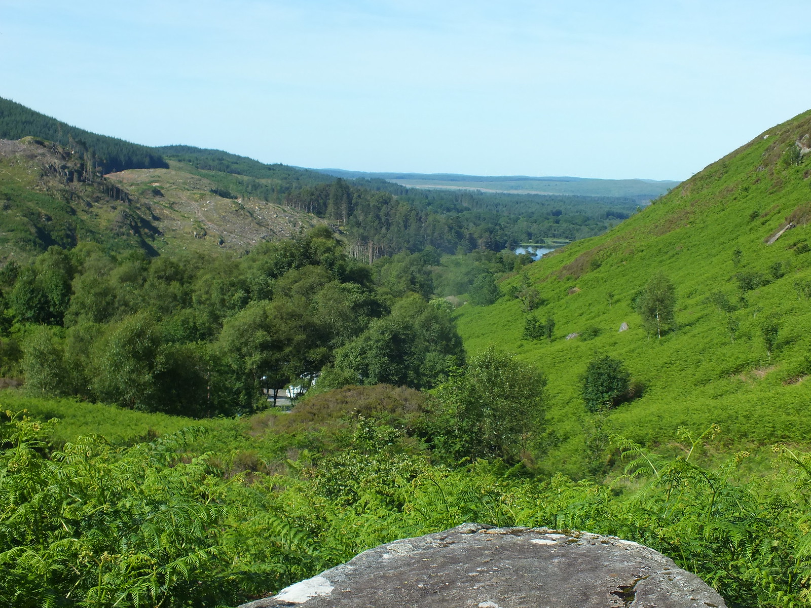
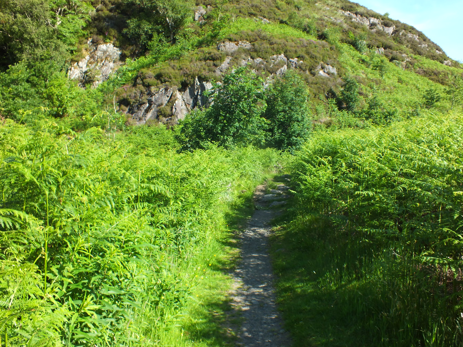
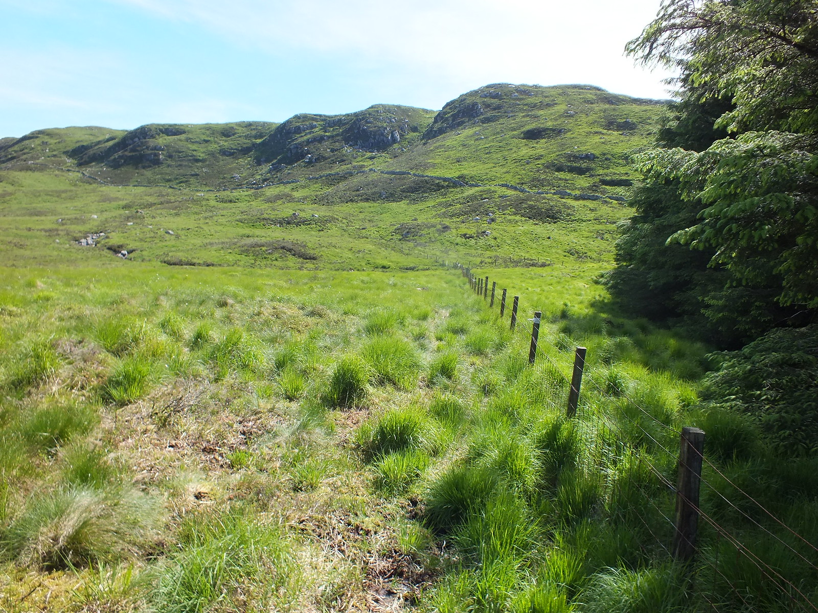
Good track gradually ascending
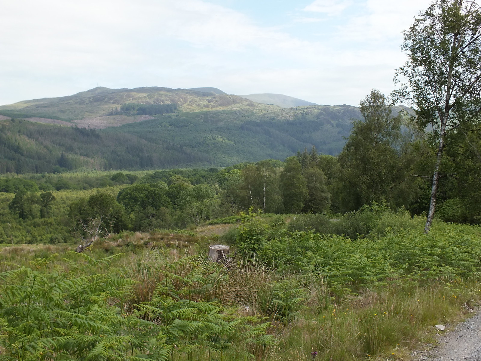
Views opening out
There's always one

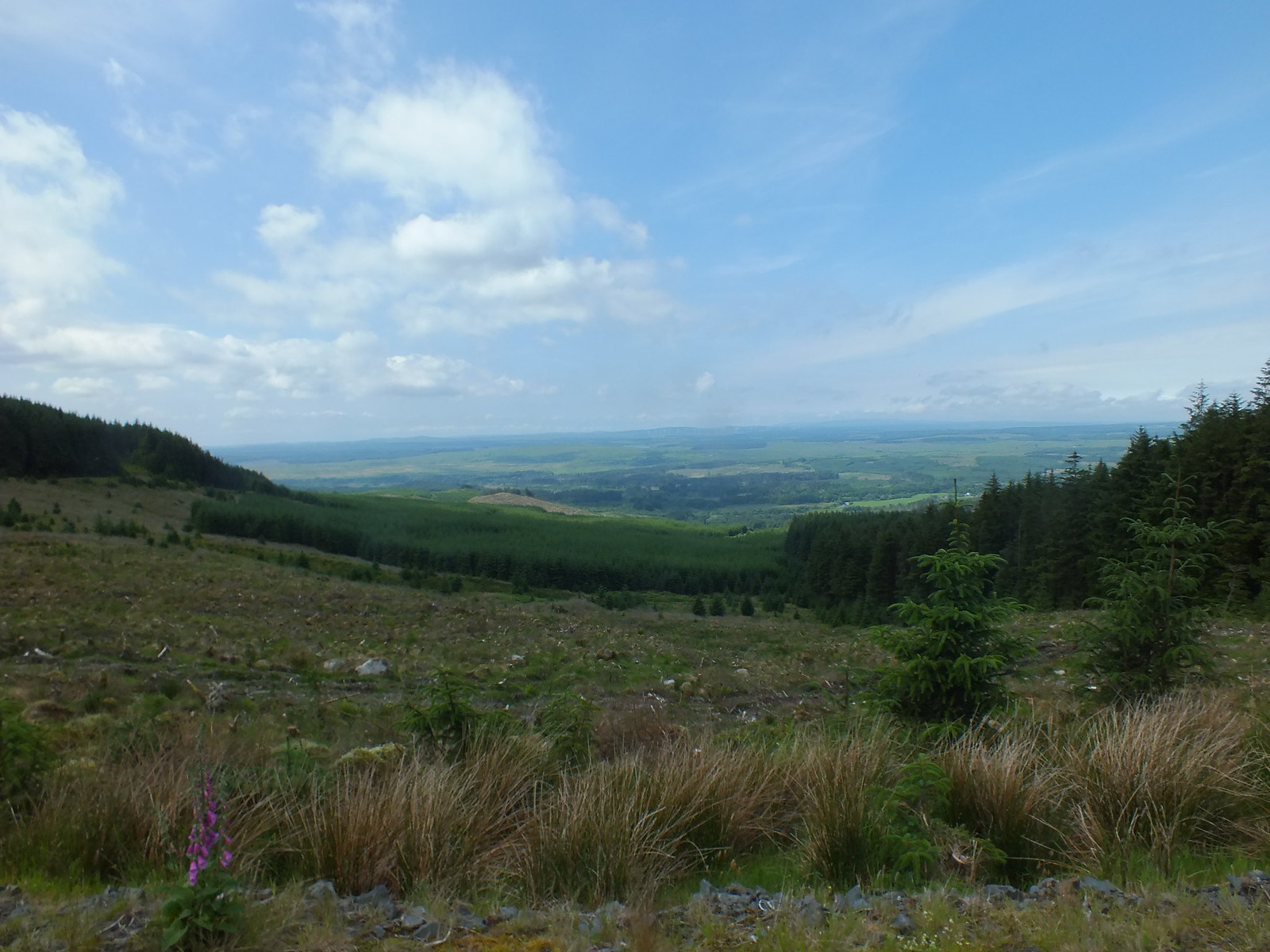
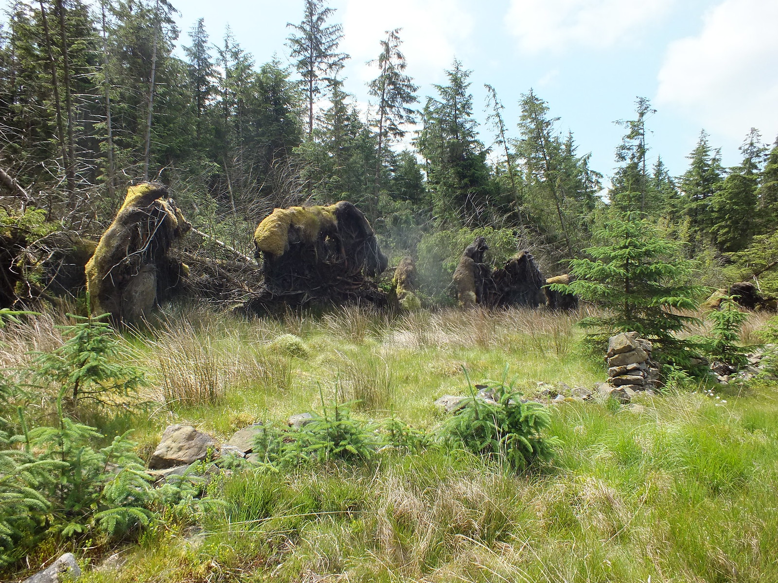
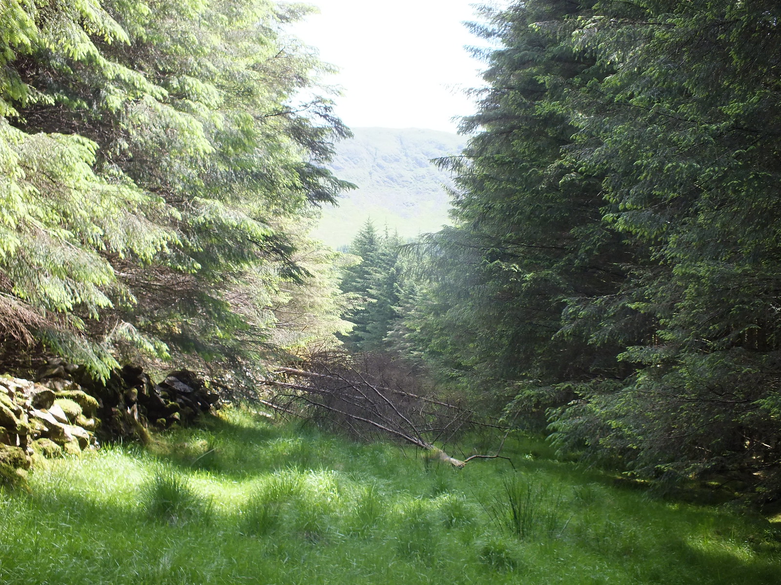
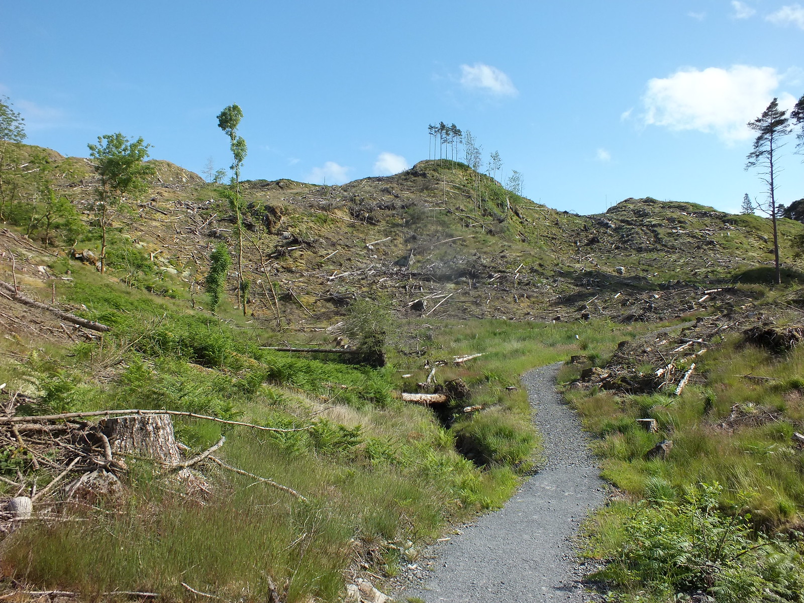
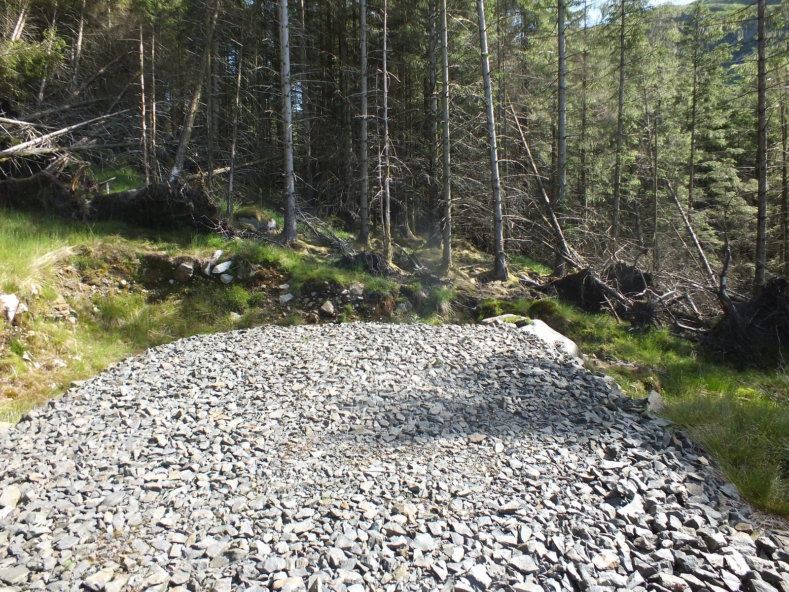
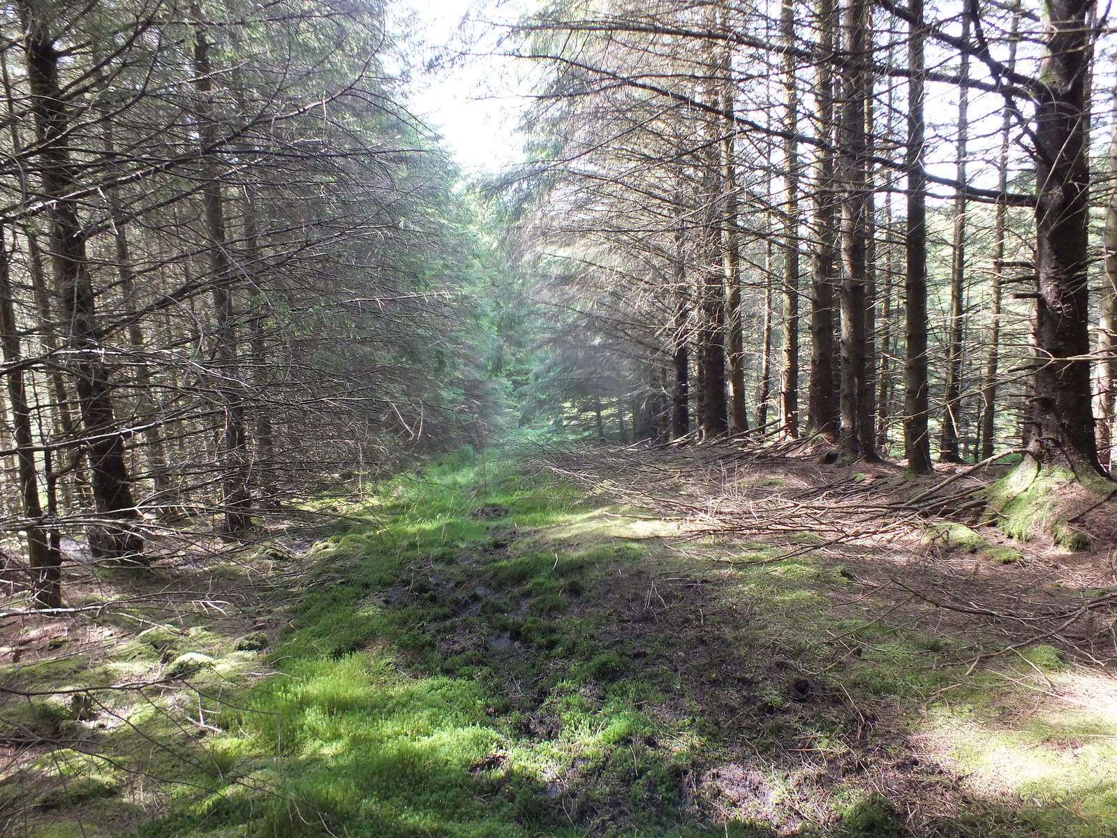
I had a couple of routes plotted on my phone, one that I had devised by utilising the fire breaks through the forest, the other was the WH route which starts with Lamachan and doesn't visit Larg Hill. Everything was going swimmingly following the track gradually climbing and the views were opening out, until my route advised me it was time leave the track and head towards Larg Hill. It didn't start off very well as you can see, not to worry it is bound to improve
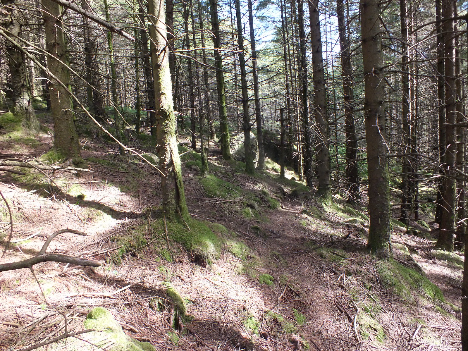
Now the 'fun' begins
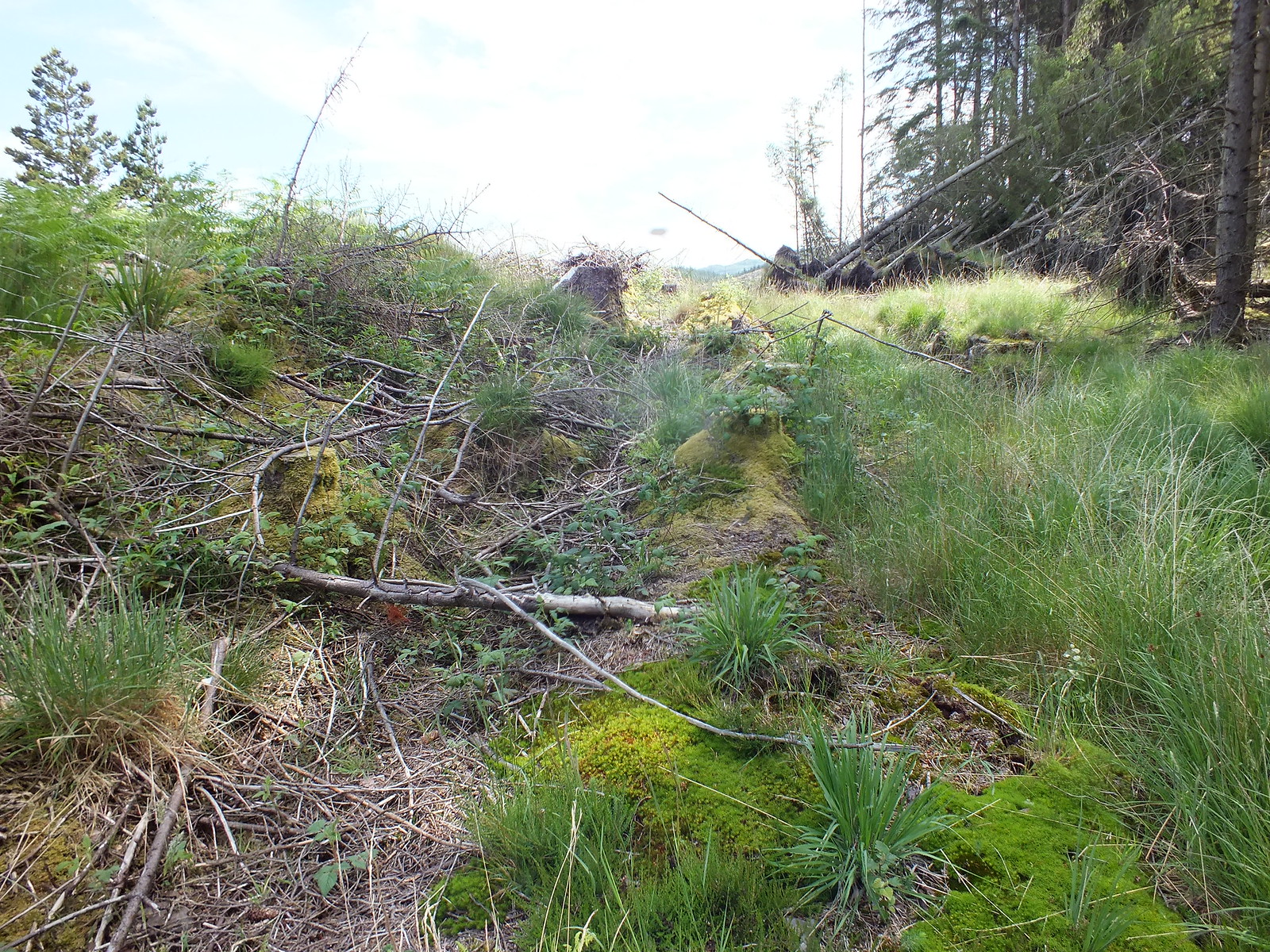
Becomming quite an expert in jungle navigation
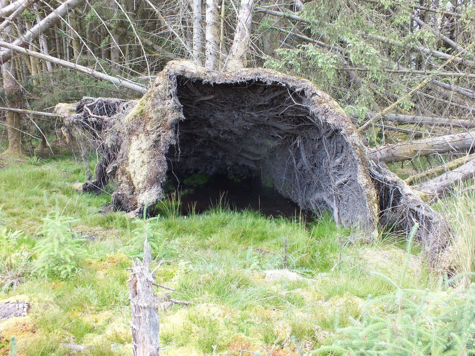
Almost cave like
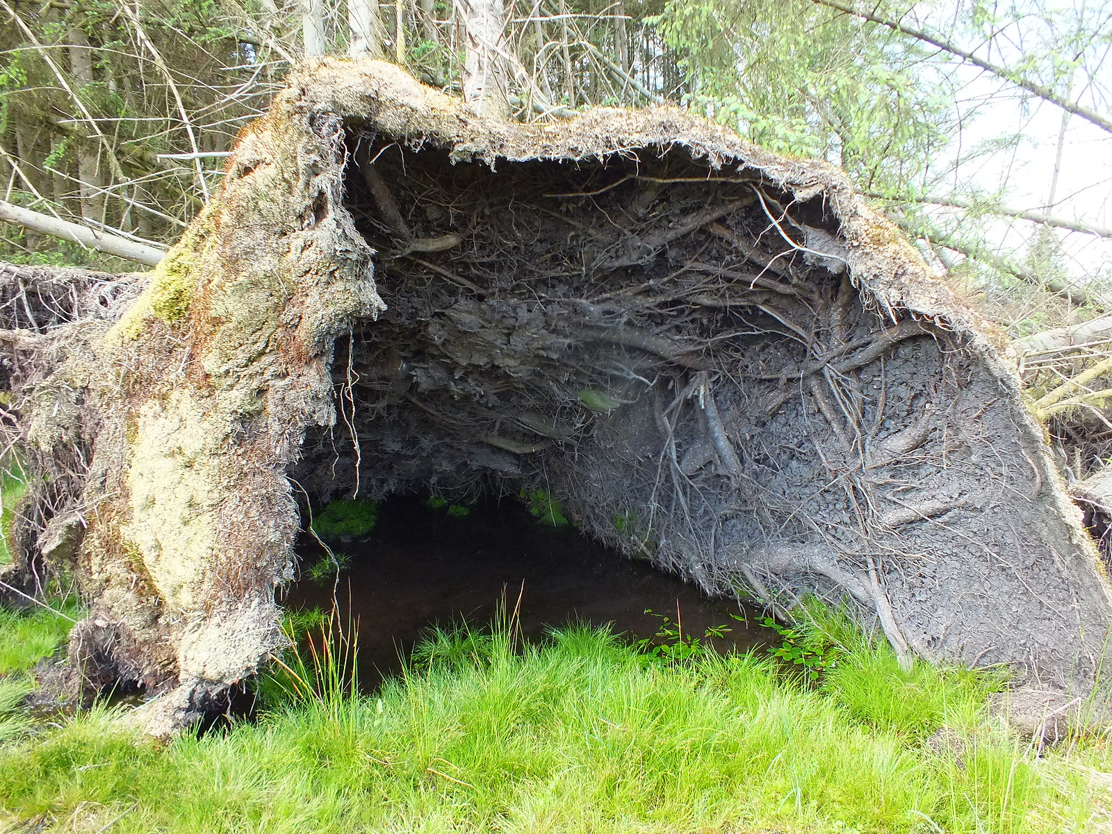
Same shot zoomed
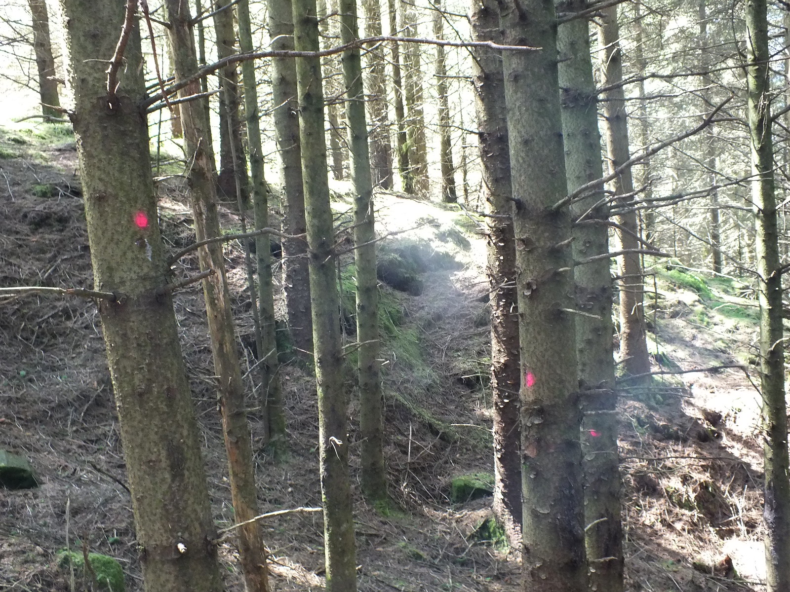
I obviously wasn't the first muppet to venture through here
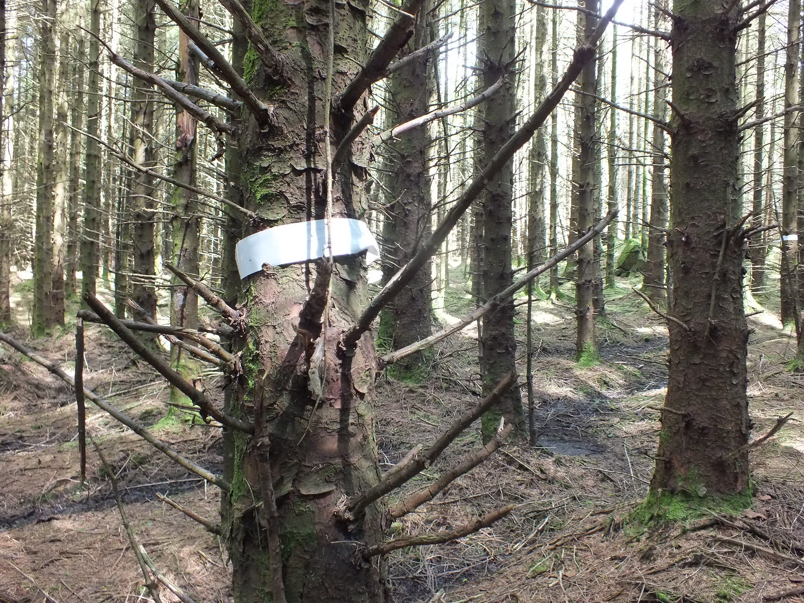
Does anyone know what the paint splodges mean, are they forestry related or for someone to follow in the pursuit of fun
One thing the photo's don't show is not only am I in the middle of a forest, but I am also ascending and as I was overheating the local insect population found me interesting and wanted to assist me on my route.
This tree was determined I wasn't getting past

Obstacles a plenty
Decisions
One of the easy bits
Someone else has been here too
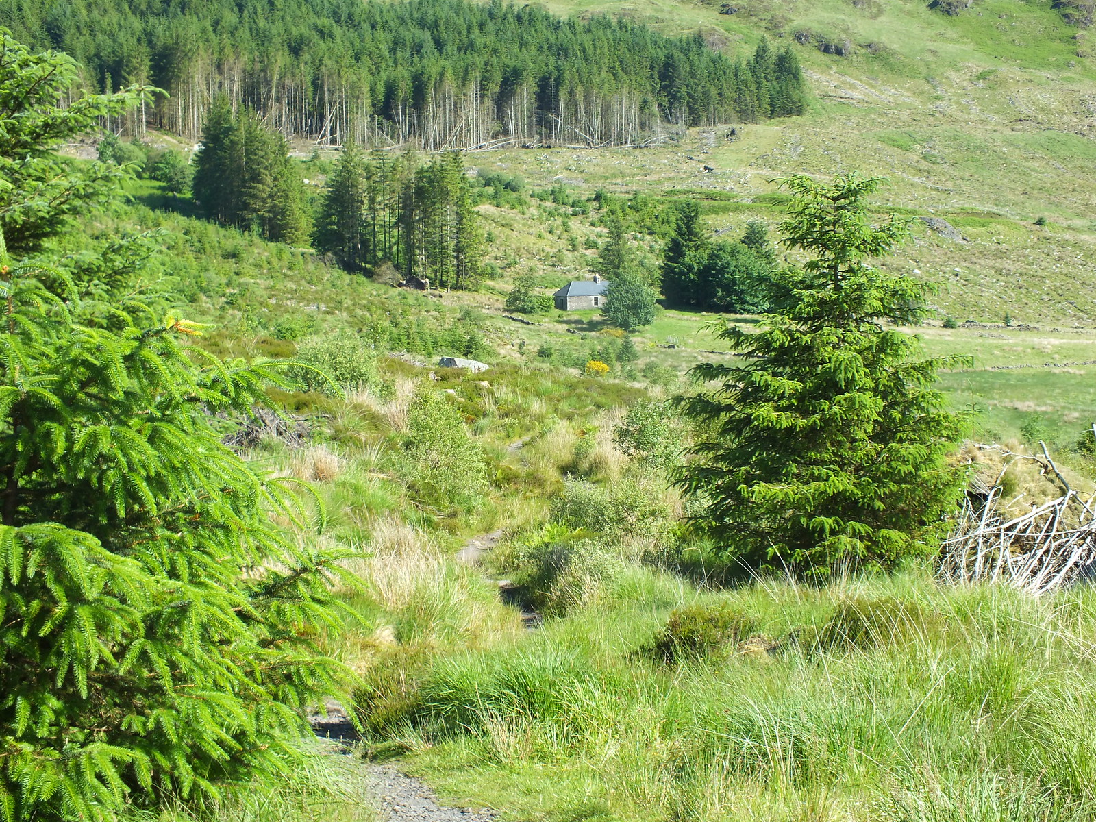
It was with great relief when the track appeared again, I'm not sure how long I spent in the forest but it was probably about an hour

Back on track literally
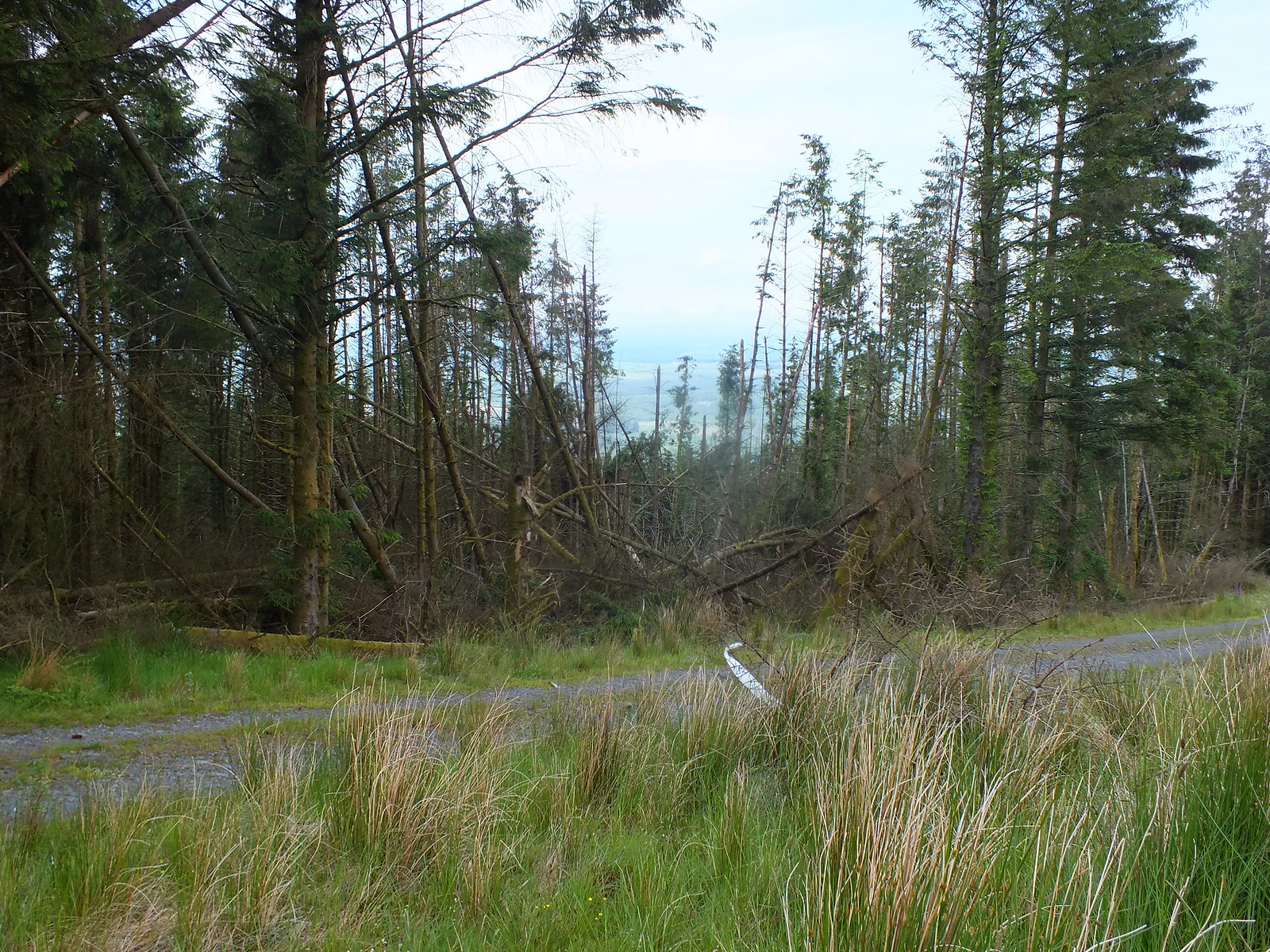
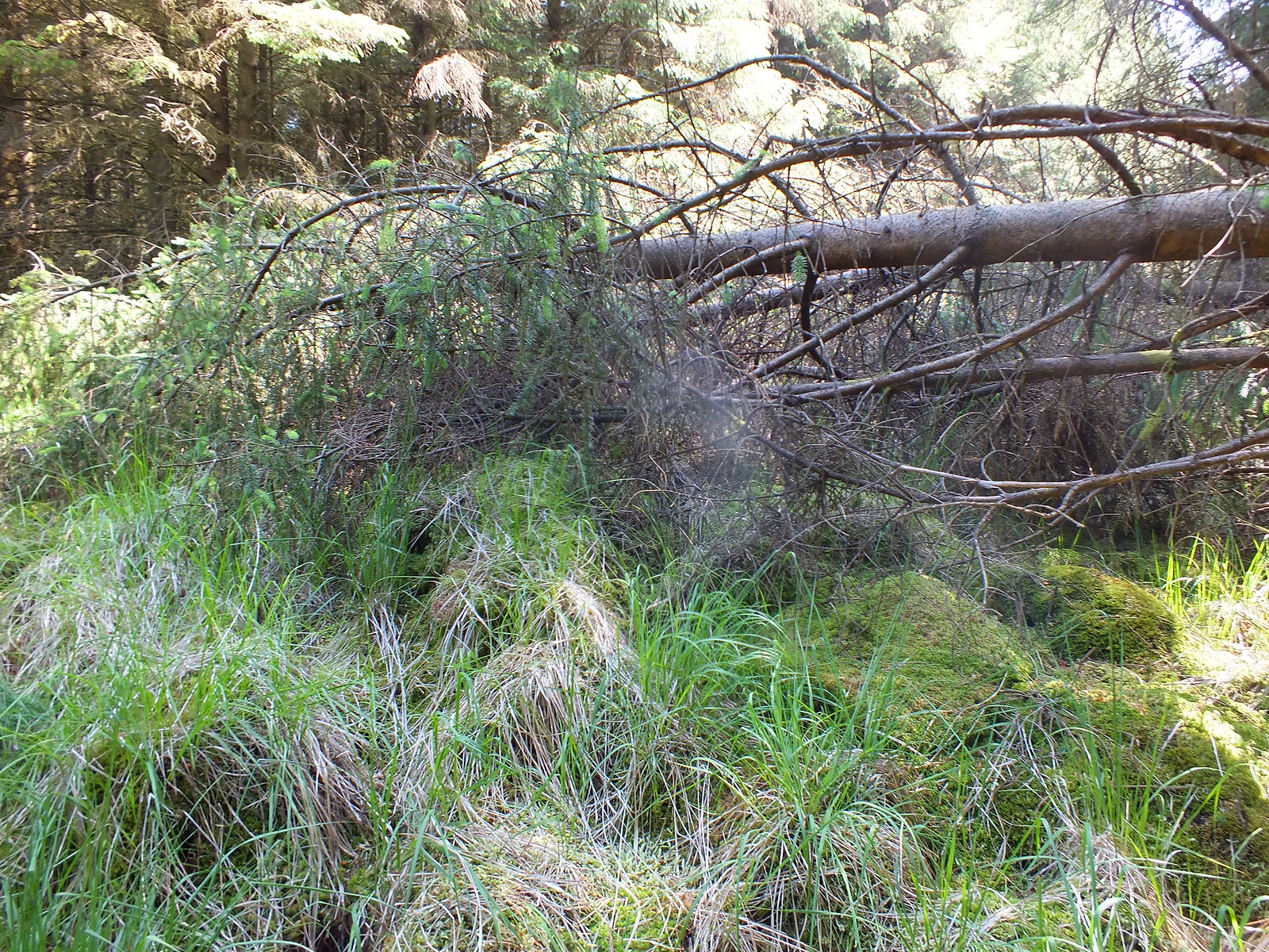
So many fallen trees
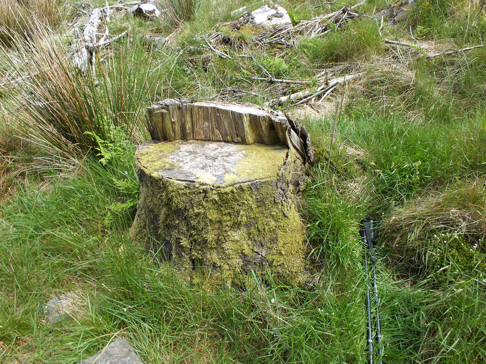
Nice little seat for my lunch

The view from my lunch time seat
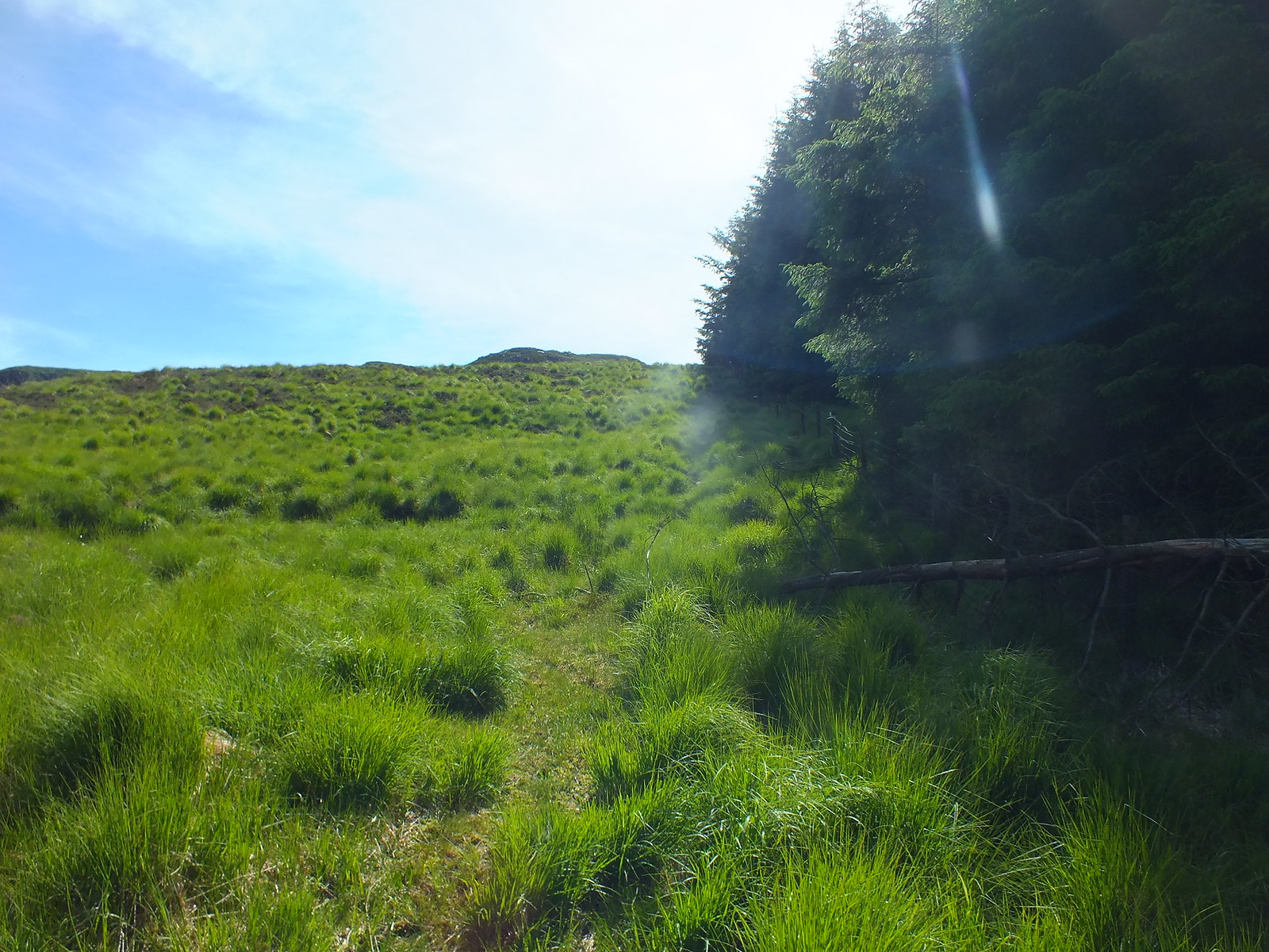
Time to leave the luxury of the track and head off piste again
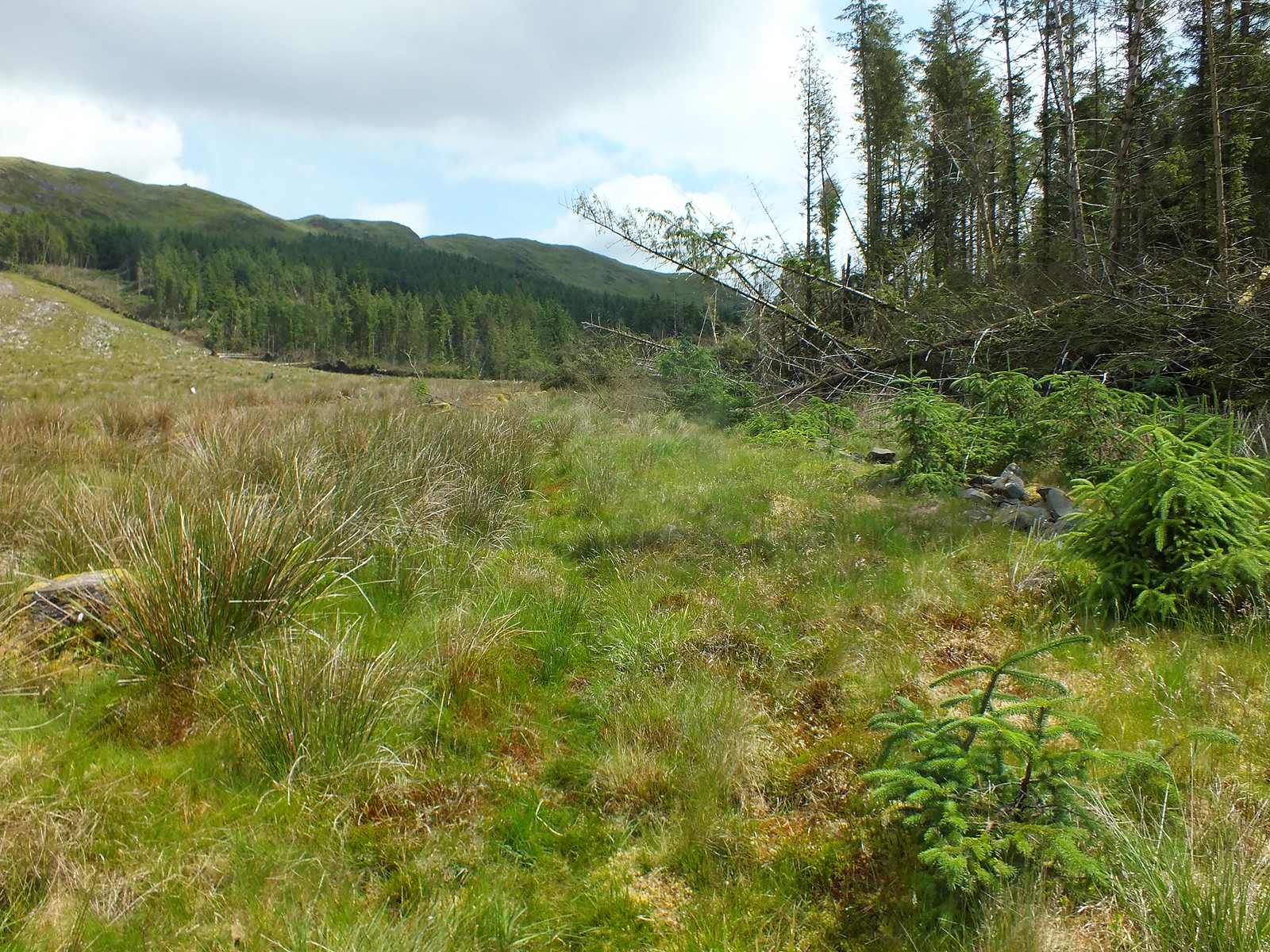
A faint path to follow

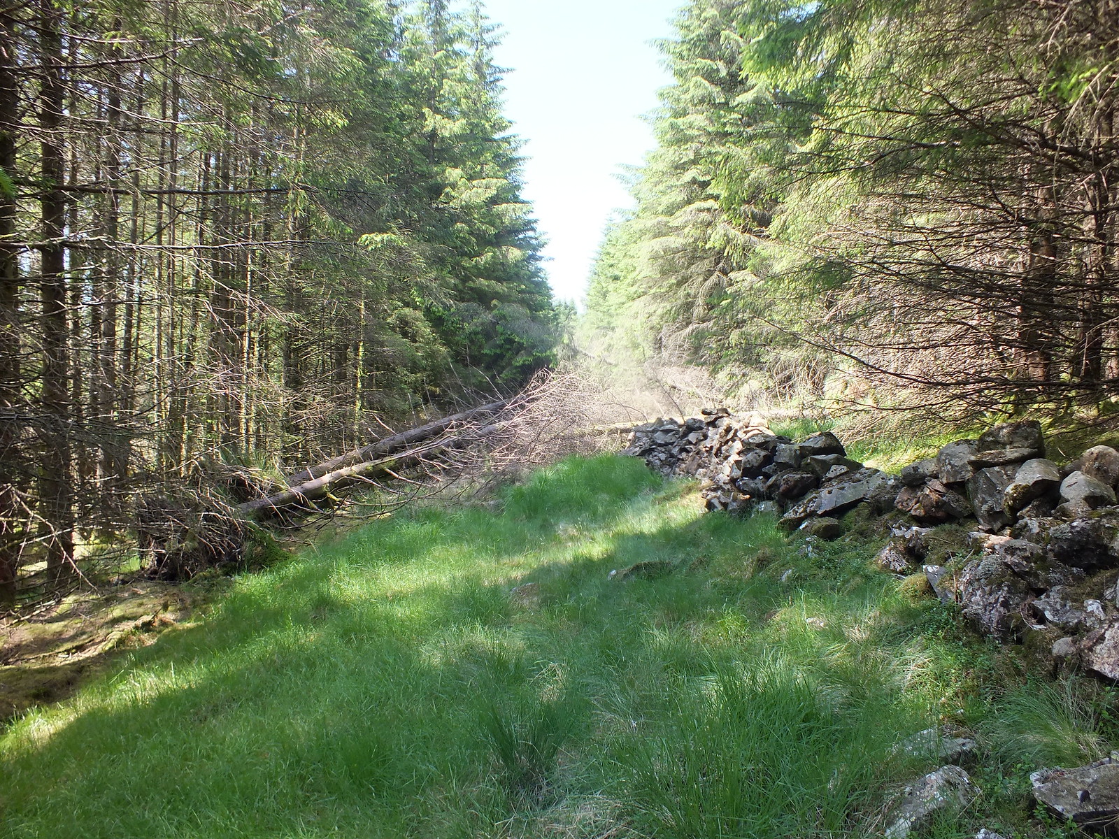
Follow the stane dyke wall
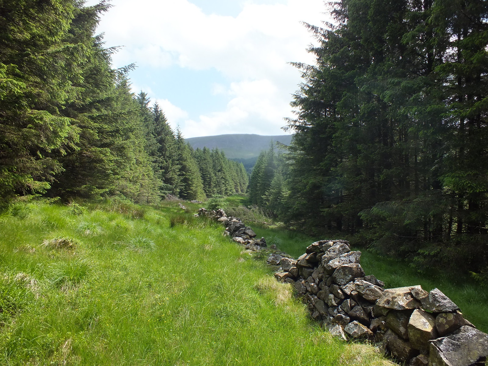
So far so good
Obstacle time
And more
And more

And more
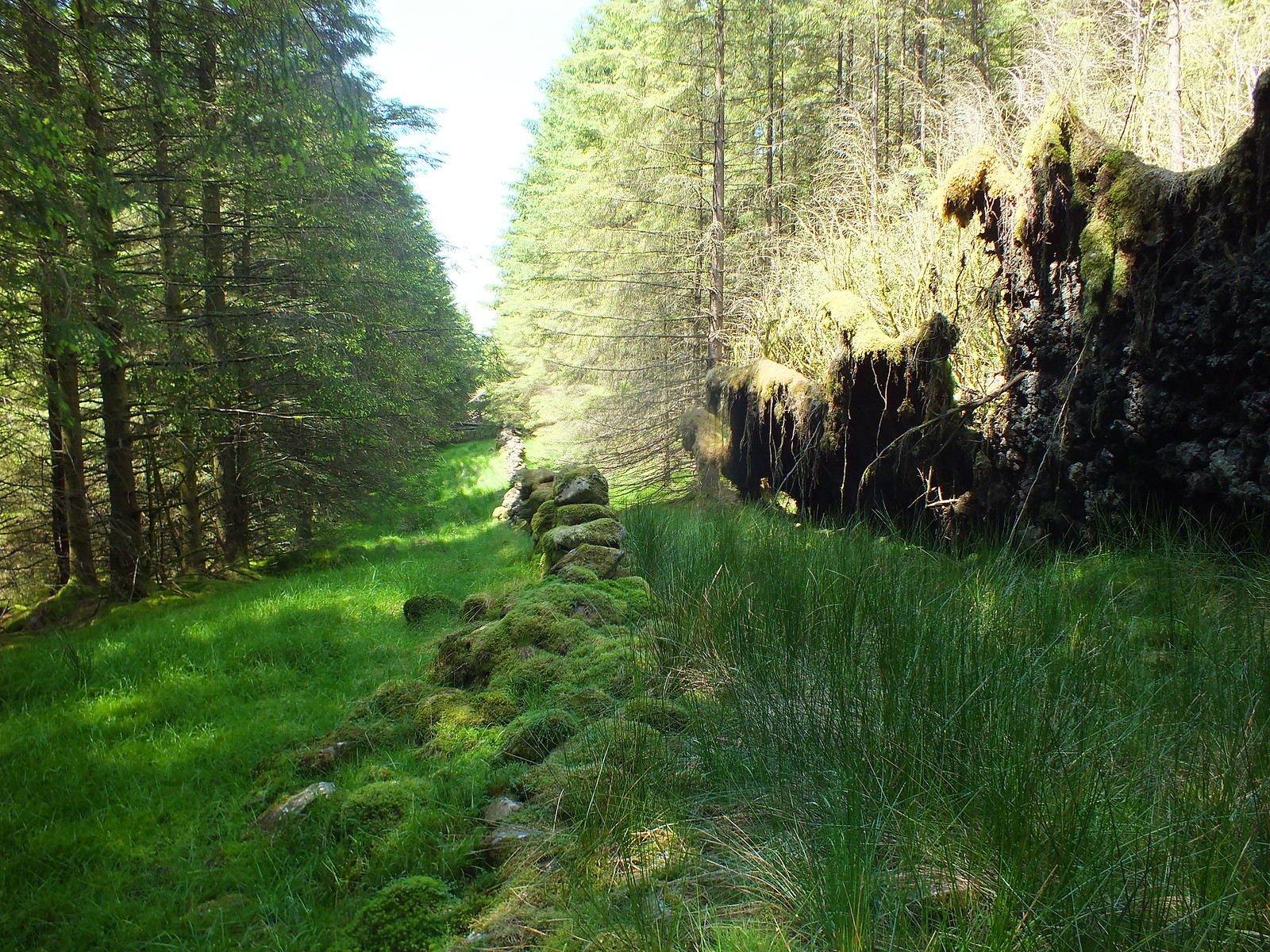
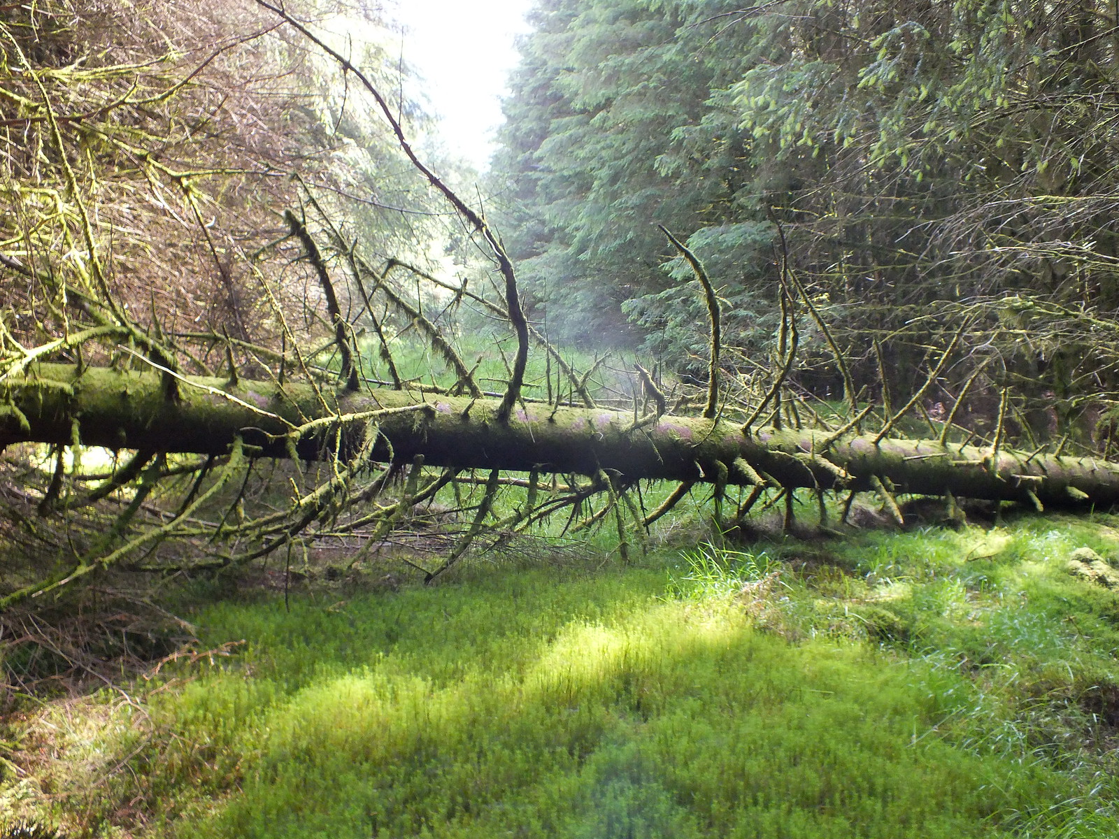
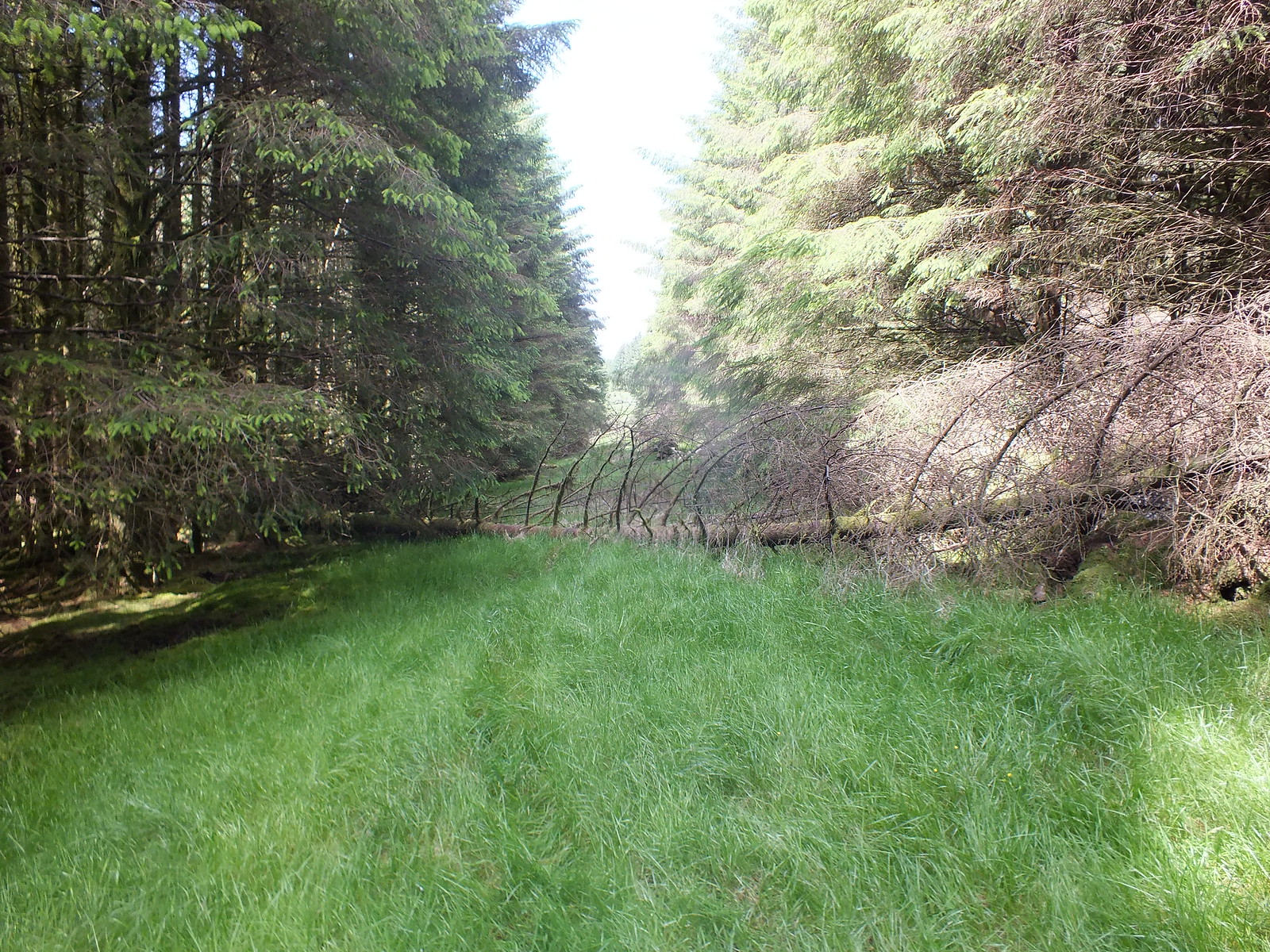
Considerate trees, they fell the other way and not across the path

Looking back

Looking back and out of the woods - for now
The faint path heads uphill and not being one to stick to paths, I opted to head straight up the side of Larg Hill. My reasoning was that I would have to gain the height anyway and tackling it 'my way' would save from heading further east and then doubling back.
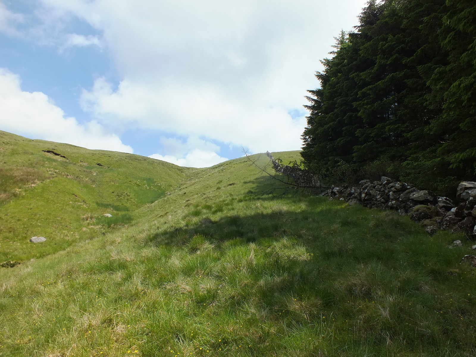
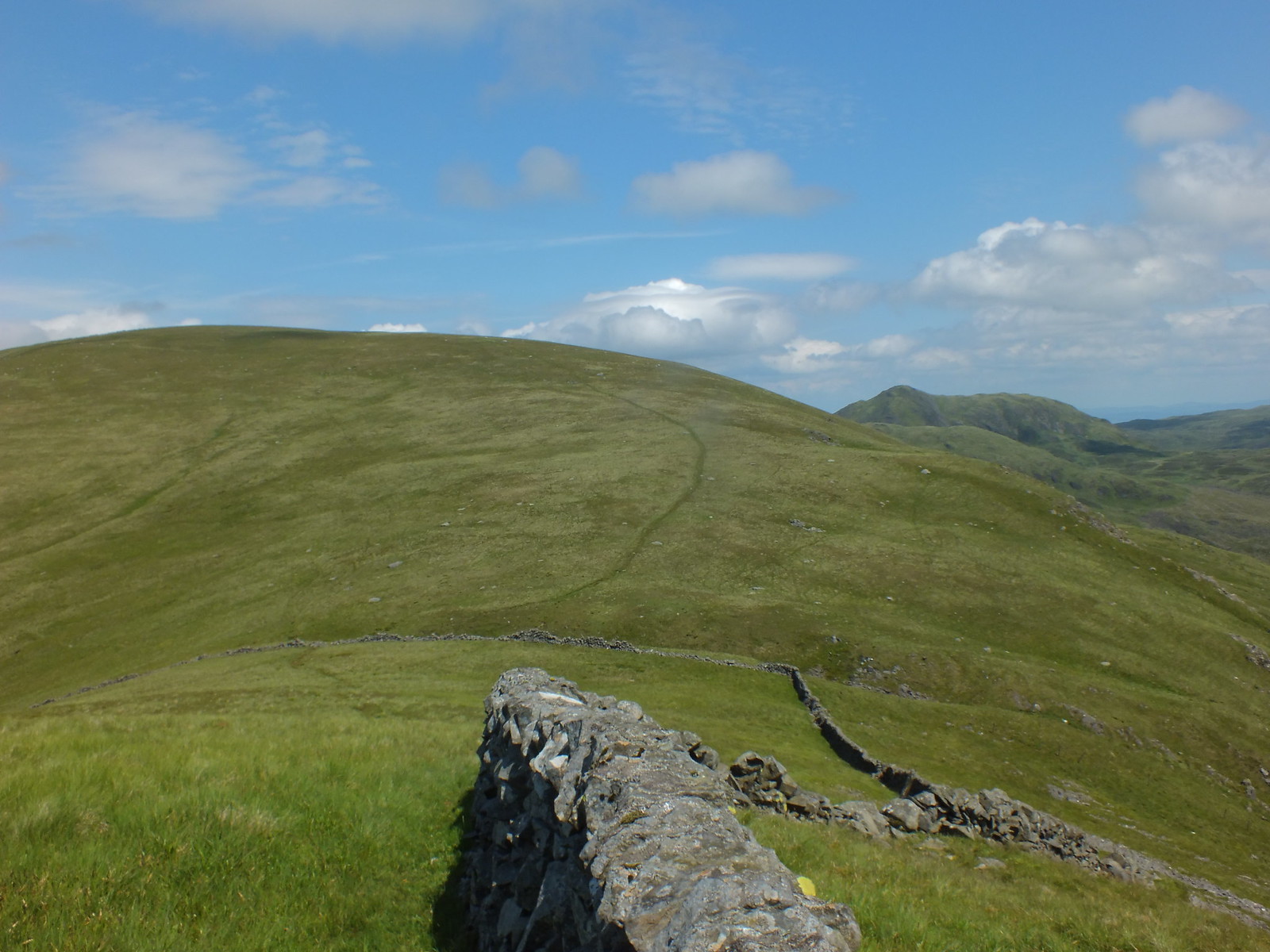
Plan is to follow the wall uphill
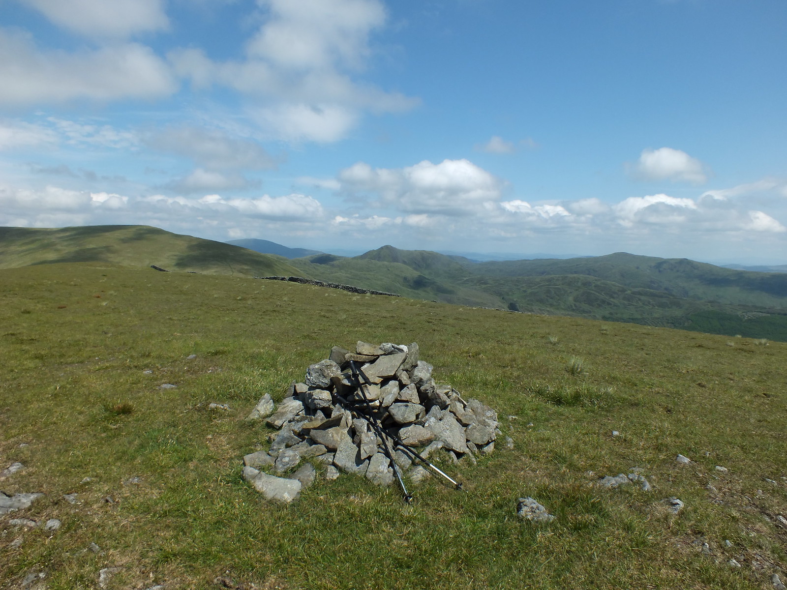
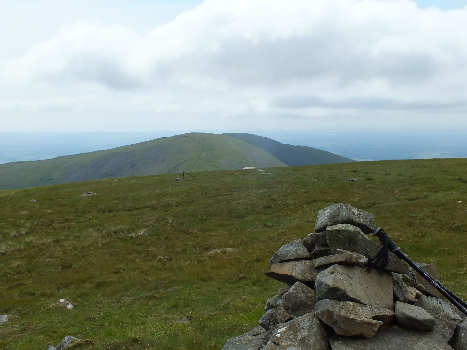
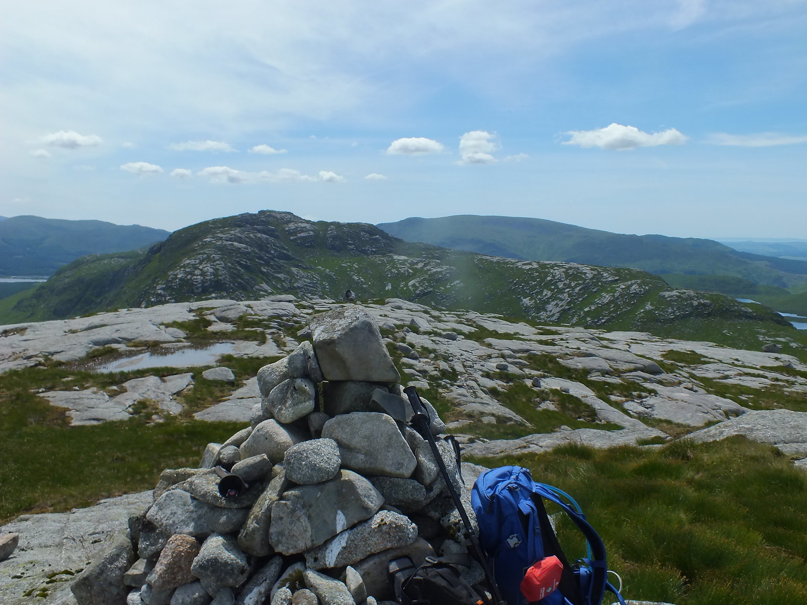
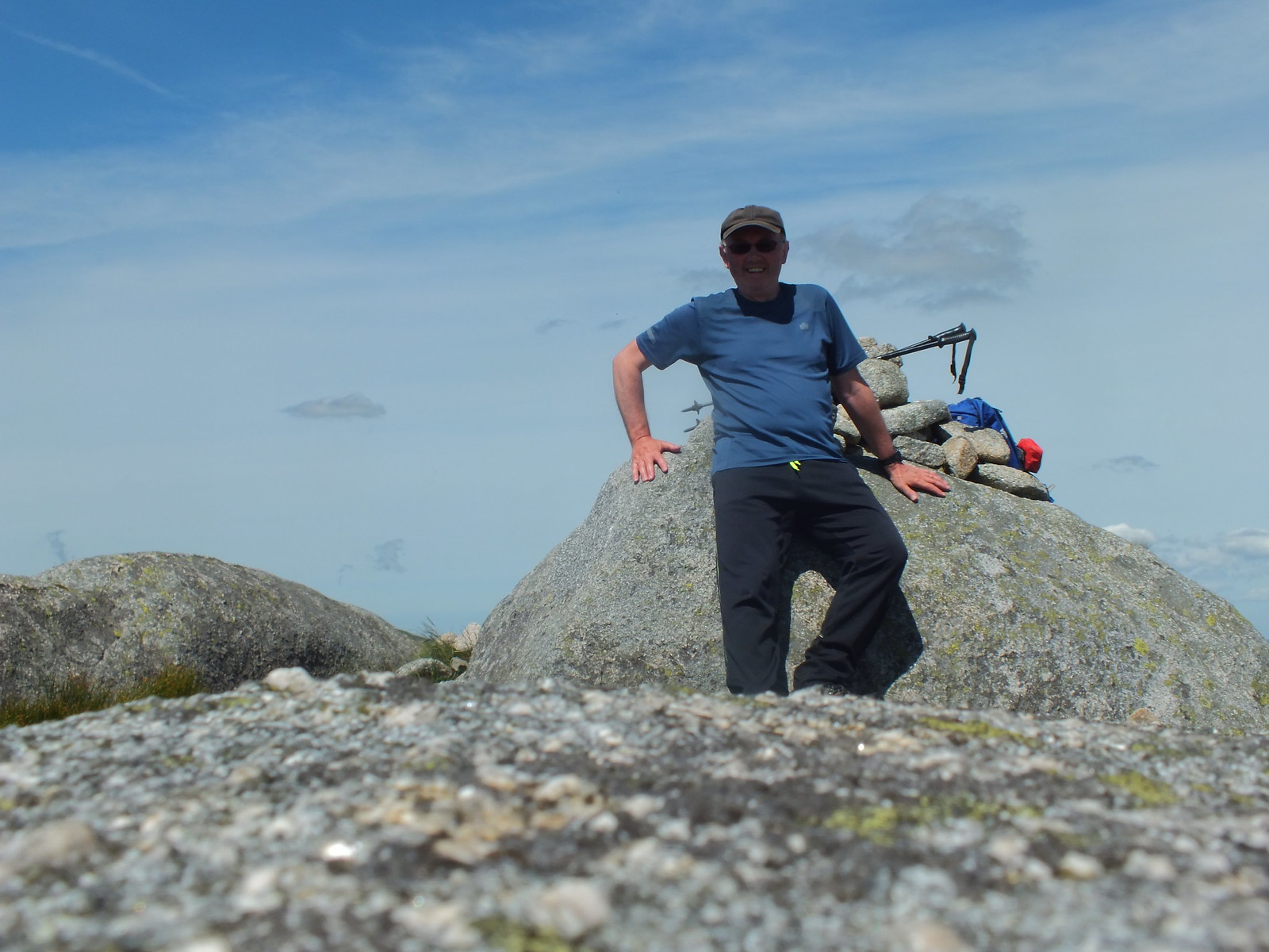
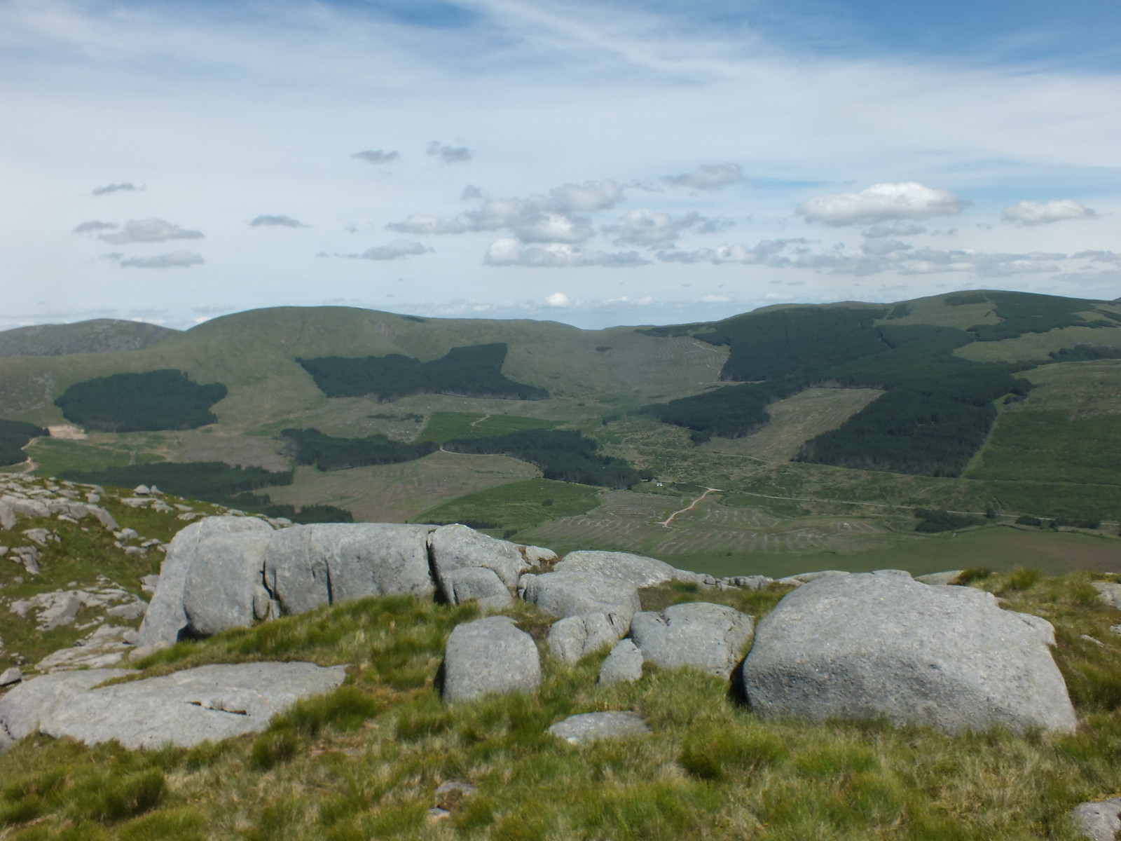
The summit cairn on Larg Hill, with Curleywee the pointy(ish) hill and Lamachan Hill on the left, very rounded
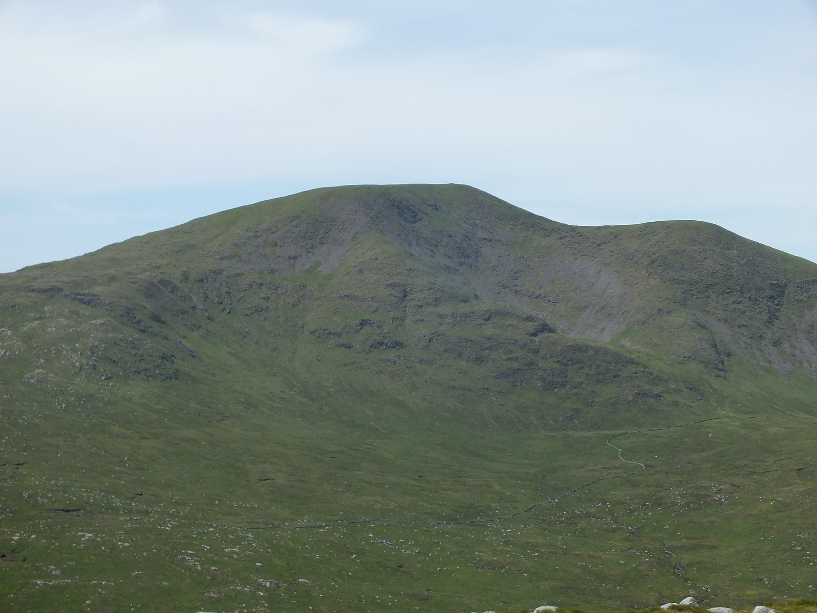
Curleywee zoomed
It had taken me over 3 hours to reach Larg Hill summit, not that time was a problem for a change. I wasn't expected at my B&B until 7pm so I had the luxury of time on my side and I certainly took alot more photo's than usual.
The path up to Lamachan can be seen with Curleywee to the right
It only took 25 minutes to reach Lamachan from Larg Hill and it was very straightforward
I wasn't convinced that the cairn was the highest point on Lamachan, the stone wall seemed higher to me

There are a couple of cairns on the rounded summit area so both had to be visited (just in case)
Cairn on Lamachan Hill
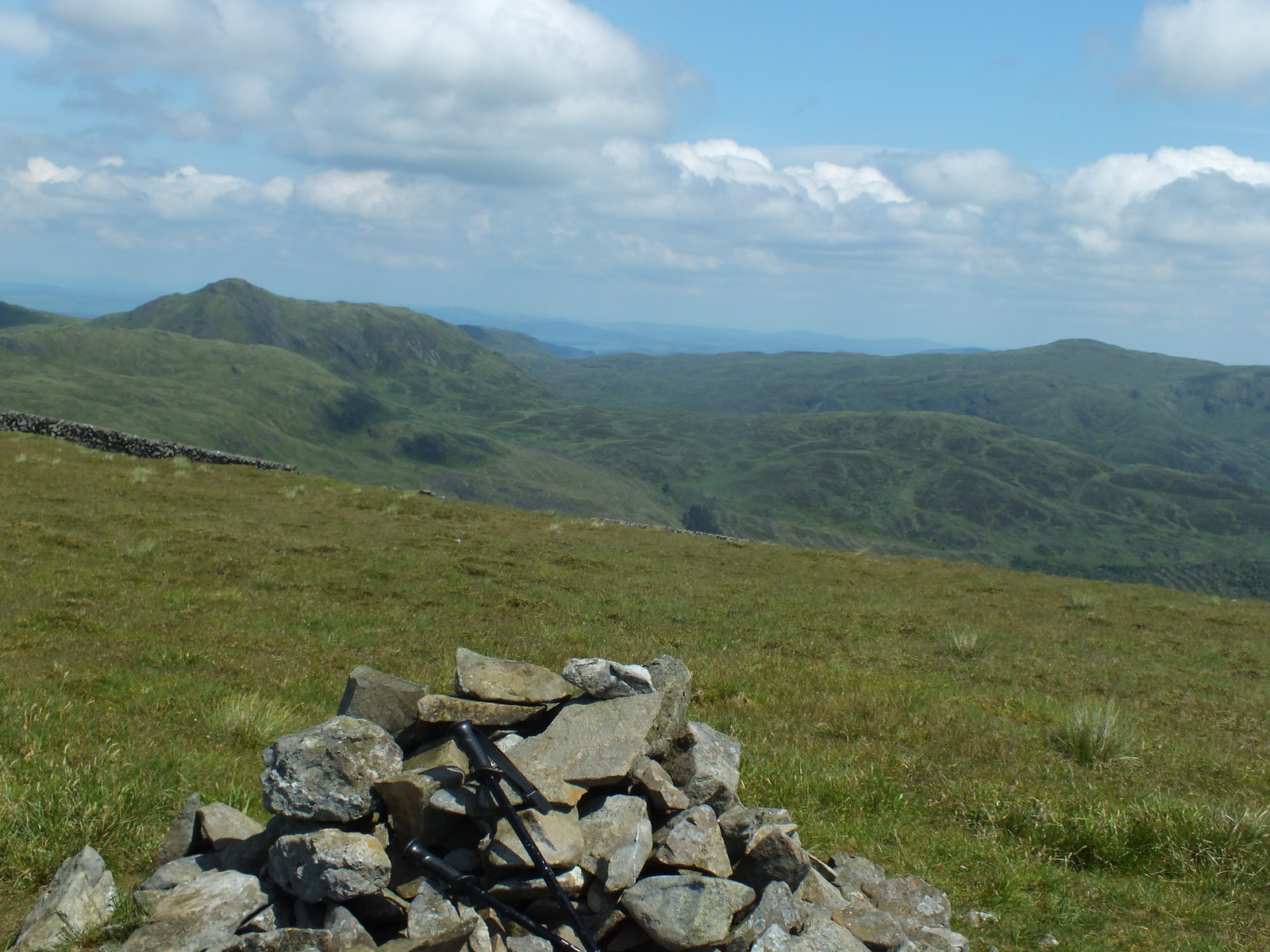
Looking back to Larg Hill
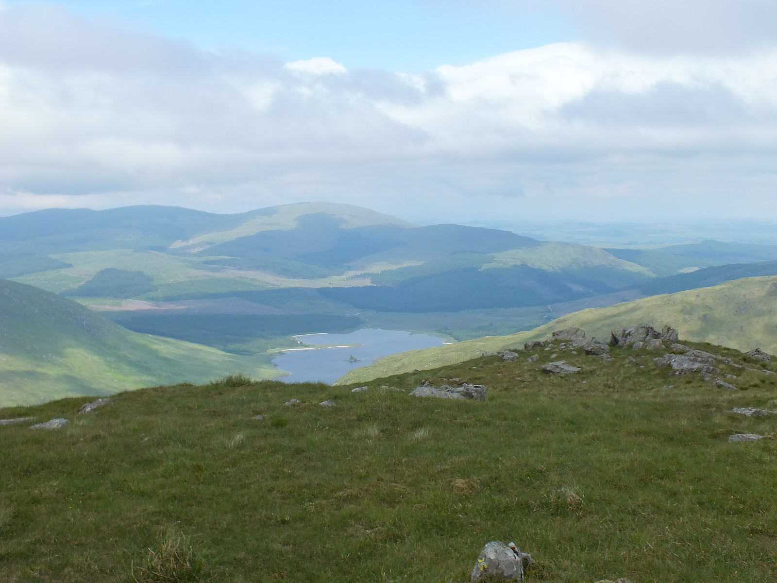
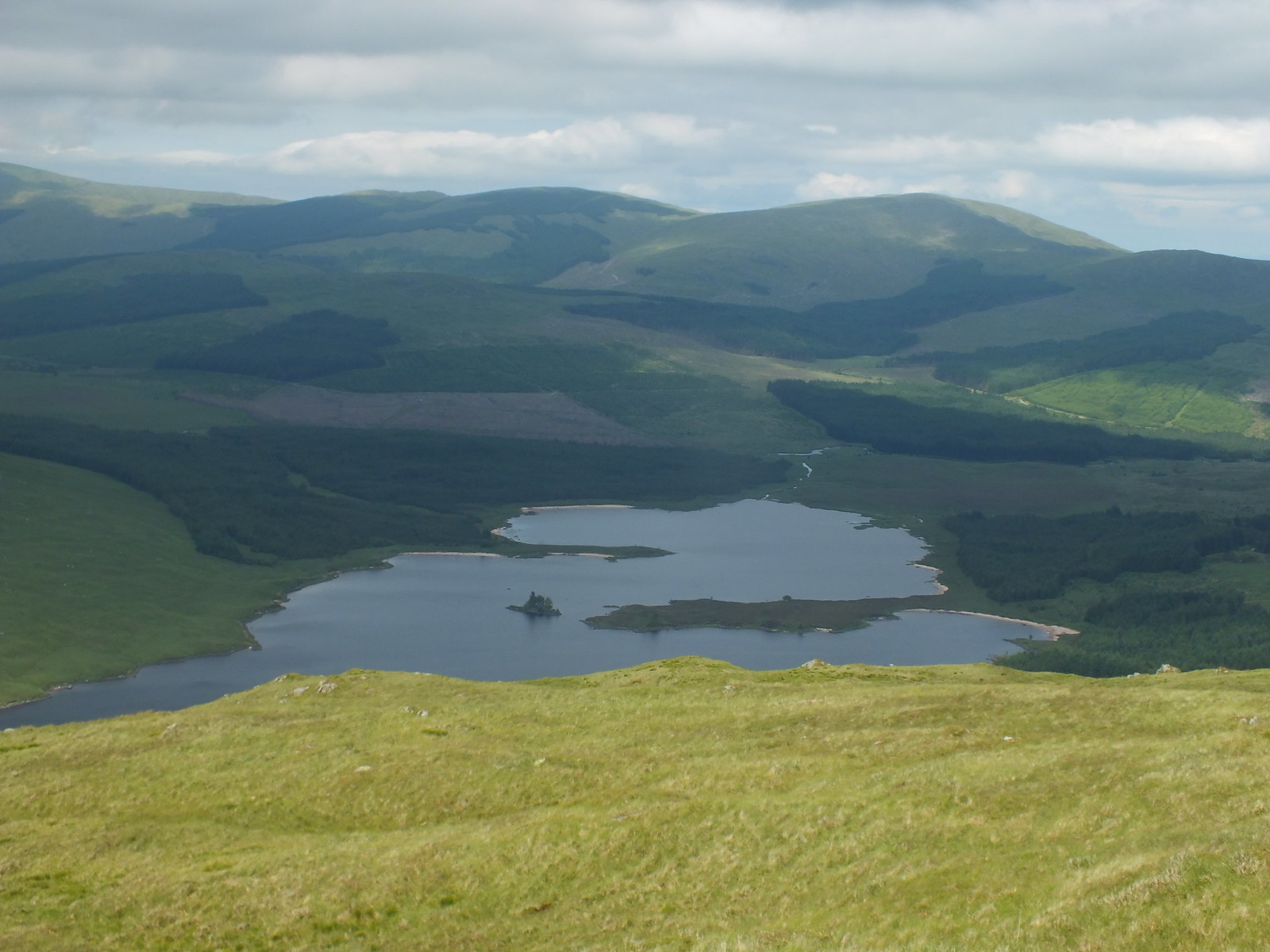
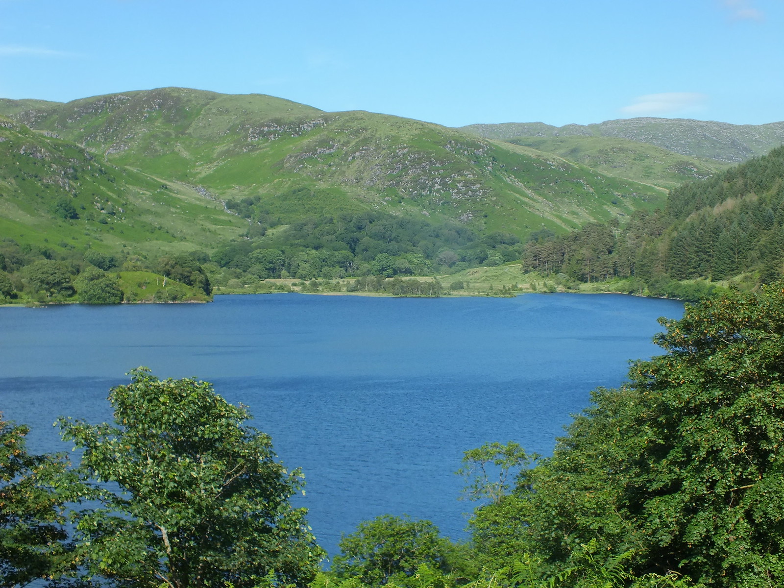
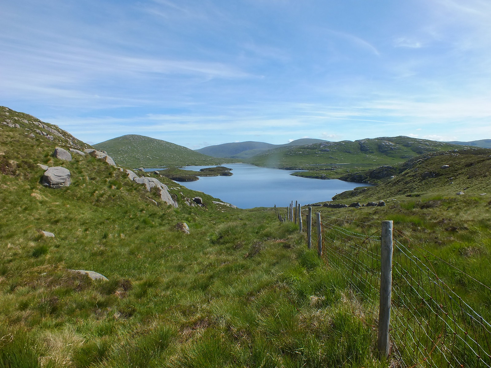
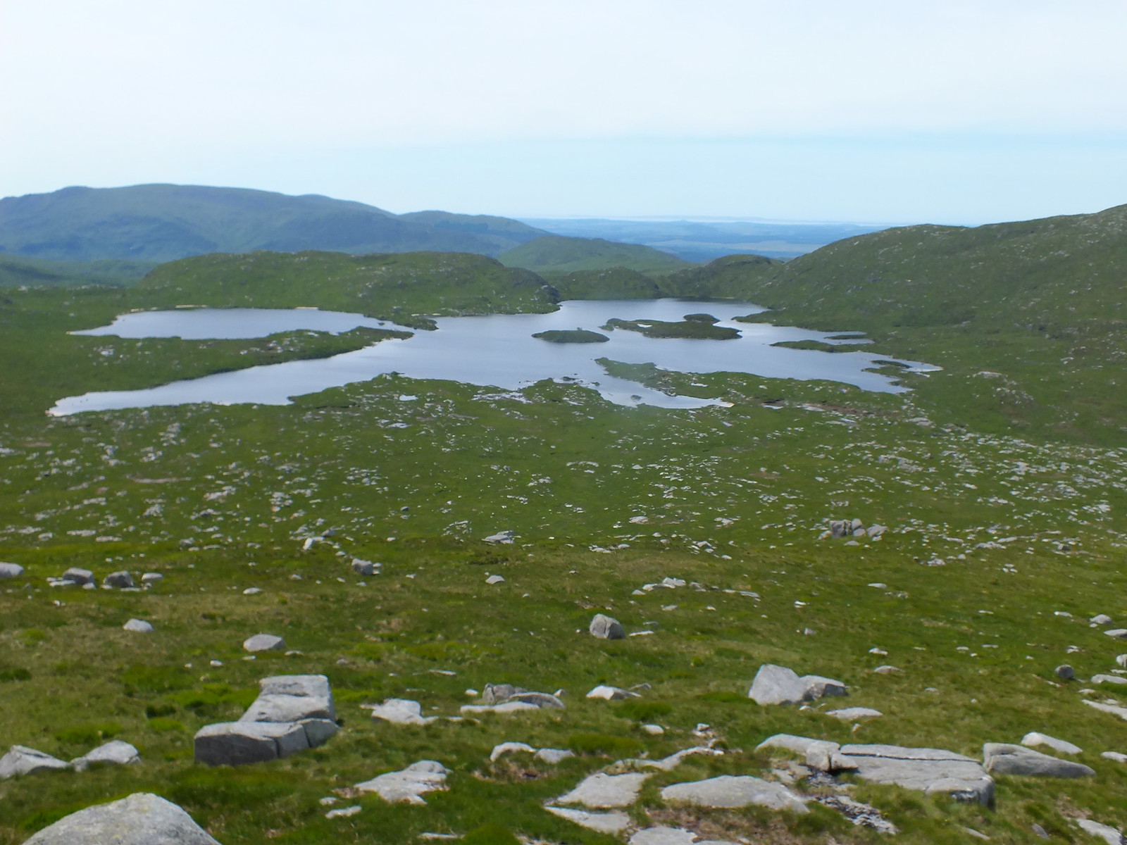
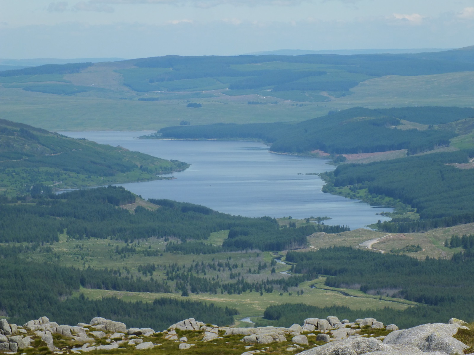
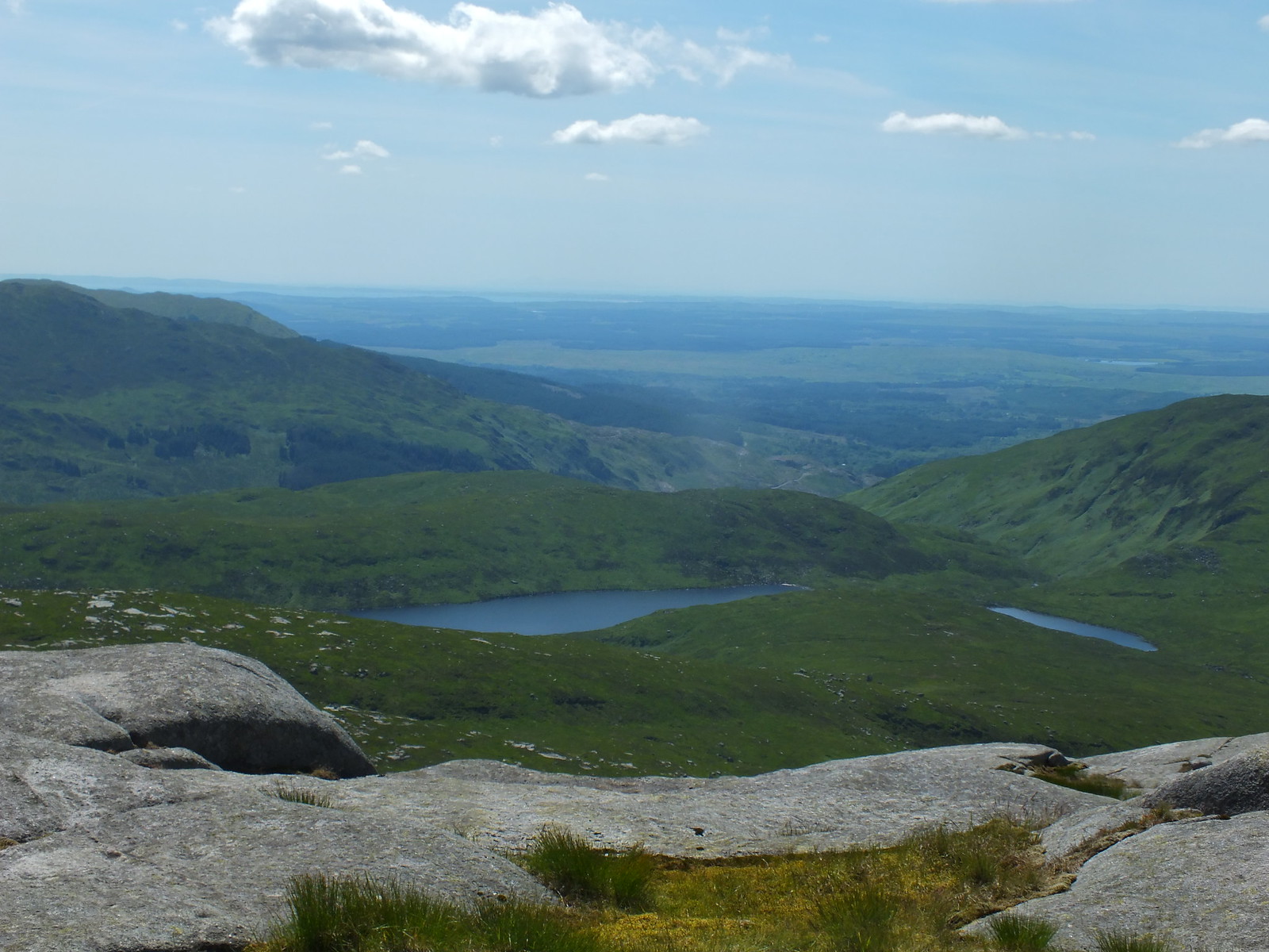
First view of Loch Dee, there will be a few more photo's to follow
Curleywee
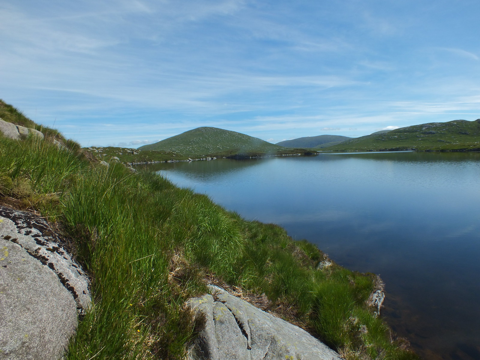
A couple of oddly named lochs - Round Loch of Glenhead and Long Loch of Glenhead
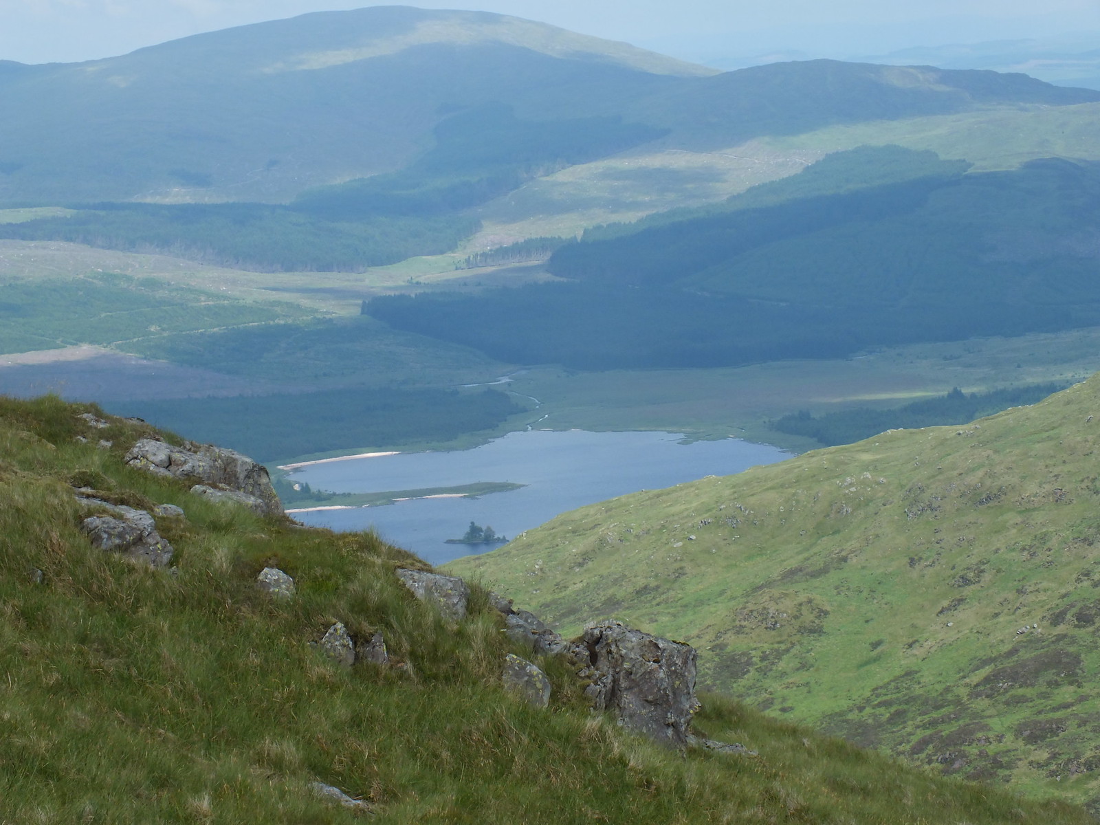
Loch Dee whilst descending off Lamachan Hill
The route off Lamachan Hill involves descending and ascending and there is quite a good obvious path to assist. I was also fortunate that I could see exactly where I was heading unlike a few of earlier Donald's where I was totally reliant upon my phone. I know the purists will be unimpressed, but I do carry map and compass as well, along with spare batteries etc.
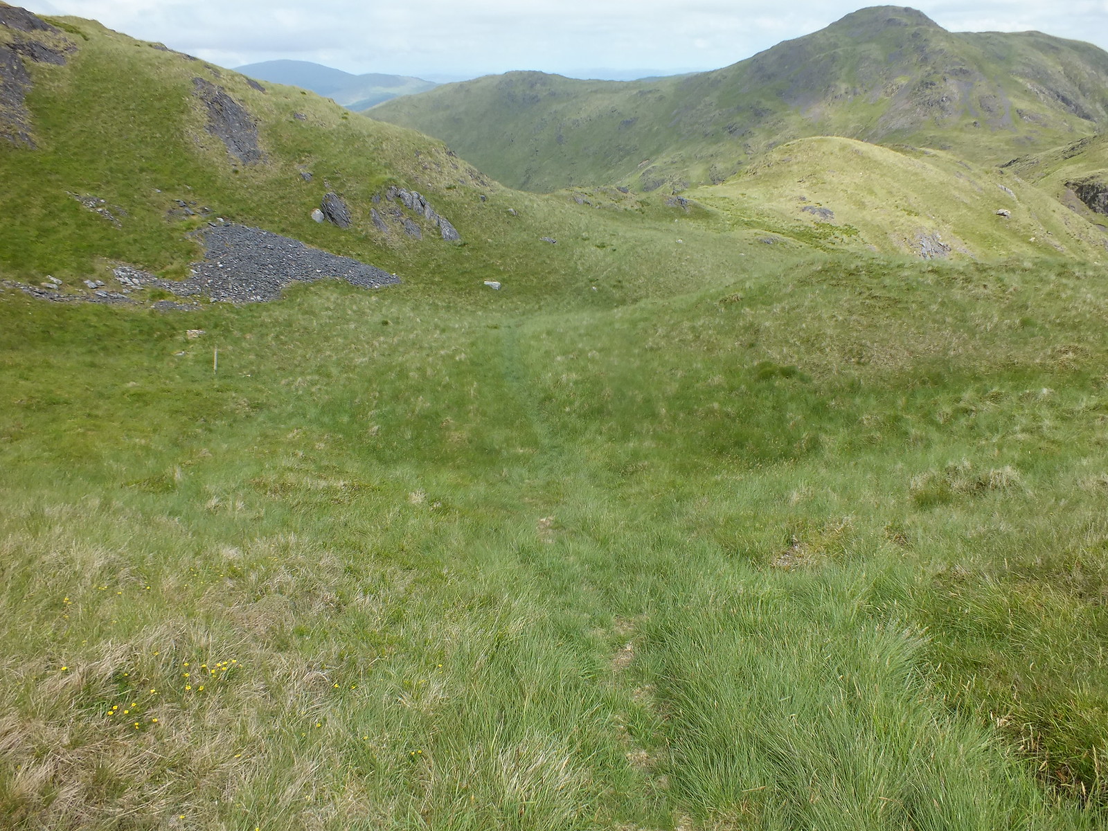
Faint path to follow to Curleywee, which is a bonus in the Donald world

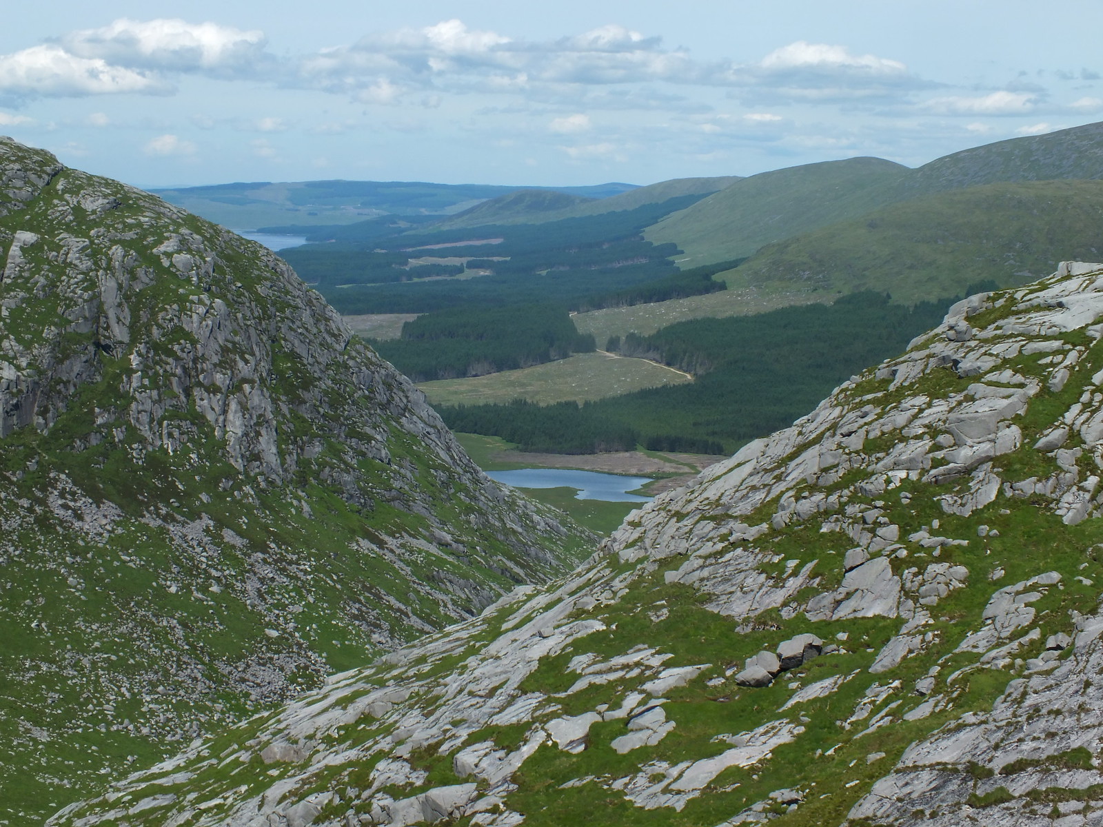
Path takes you round the 'Scars of Milldown'
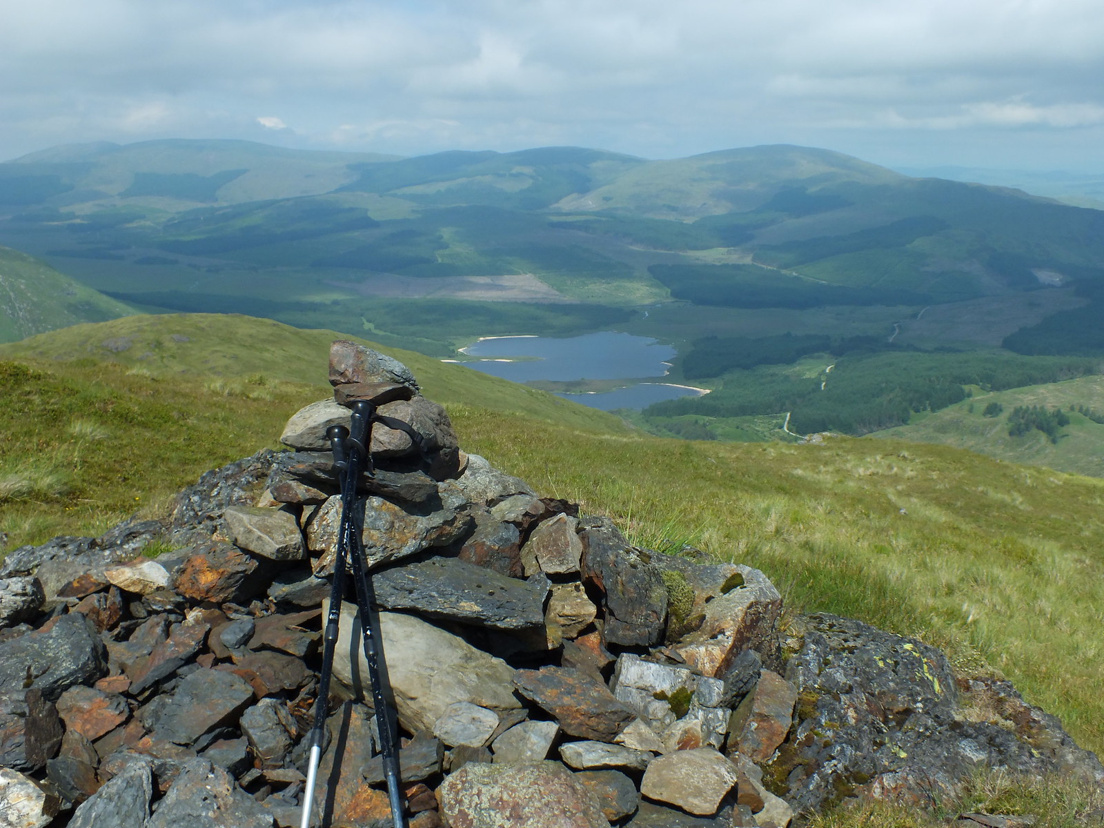
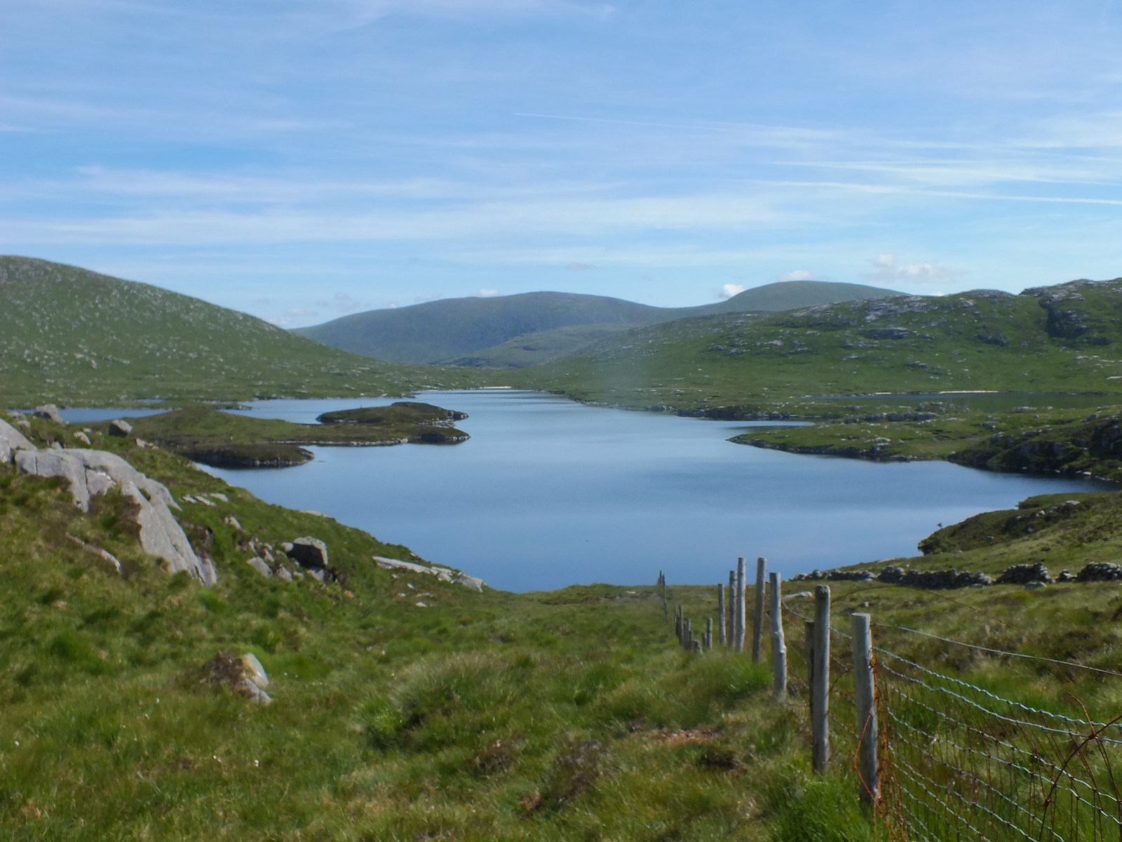
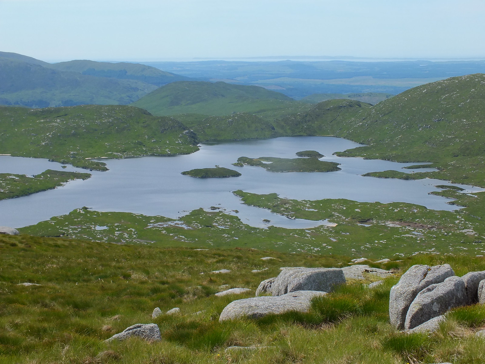
Summit of Curleywee with the beautiful Loch Dee in the background

The two lochs again - zoomed
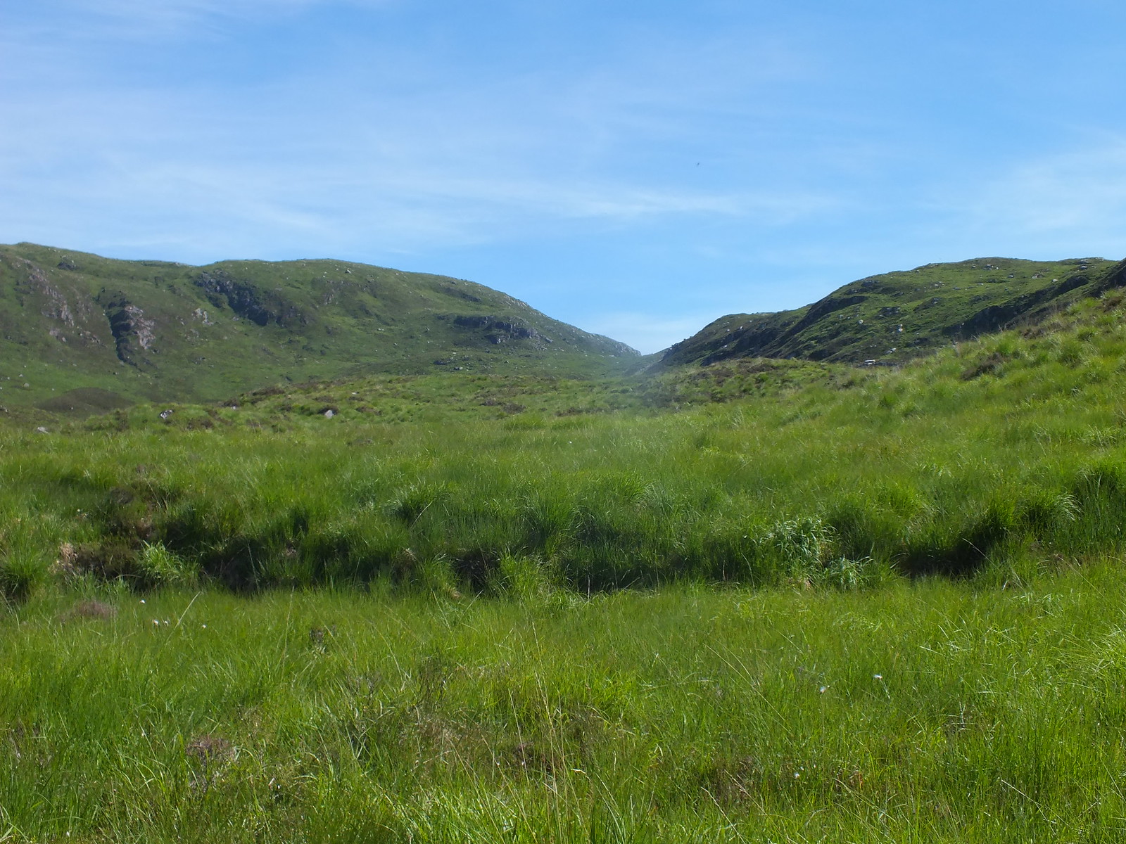
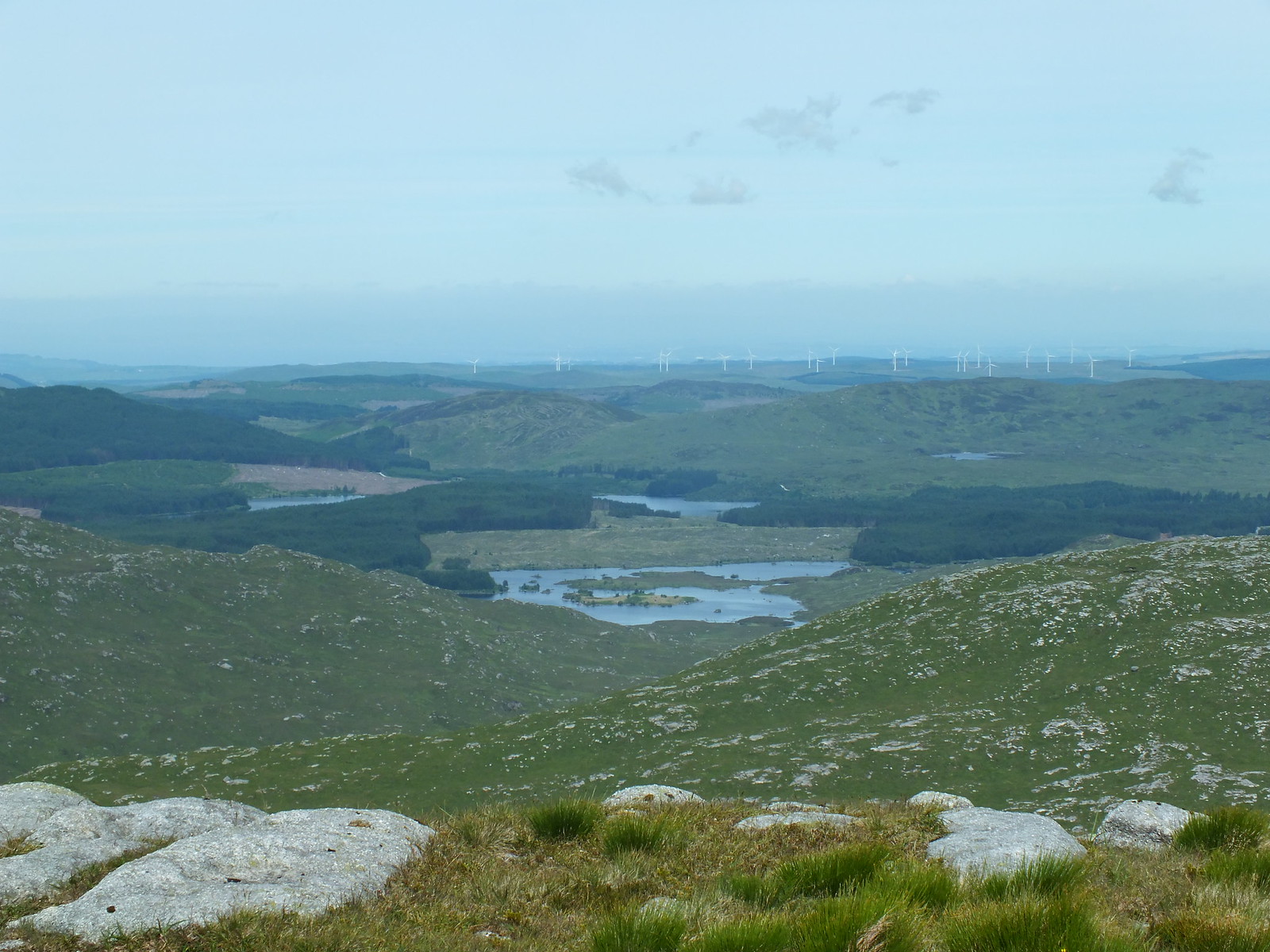
My plan from Curleywee summit was to head NNW descending via the Scars of Bennanbrack and then pick up the Southern Upland Way, which is pretty similar to the WH route.
Once the majority of height is lost off the Scars of Bennanbrack, the terrain changes to tufty grass that is knee deep and absolutely awful to walk on. I also had to watch out for holes as there are plenty of underground streams dotted around. Once again it was a pleasure to reach the track.
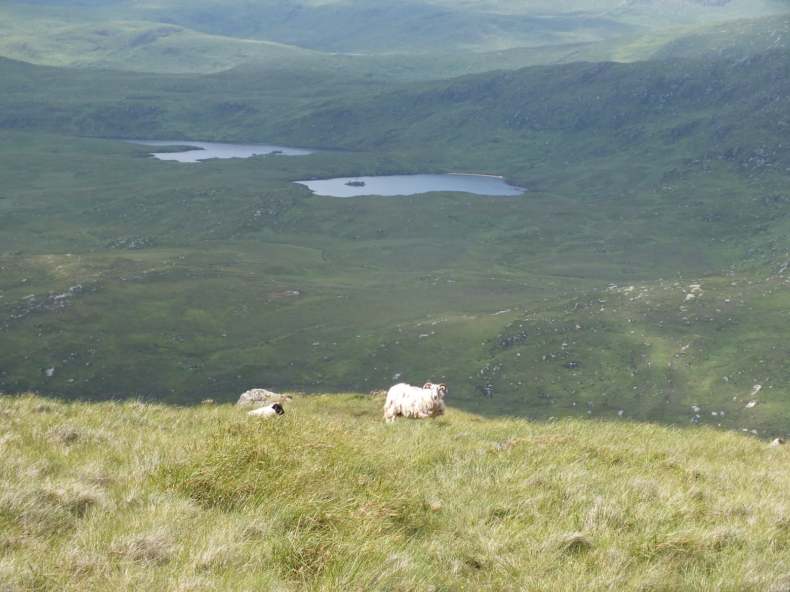
A couple of locals posing before they galloped off into the distance
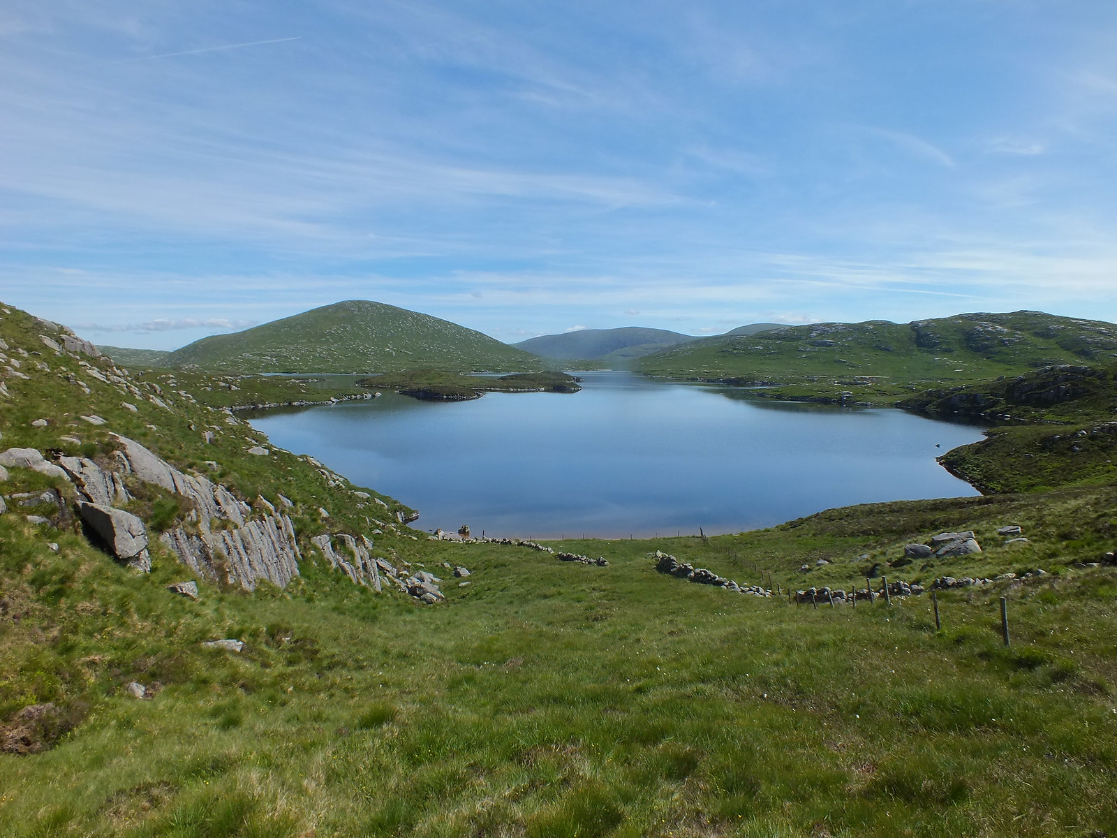
Loch Dee on the descent - zoomed
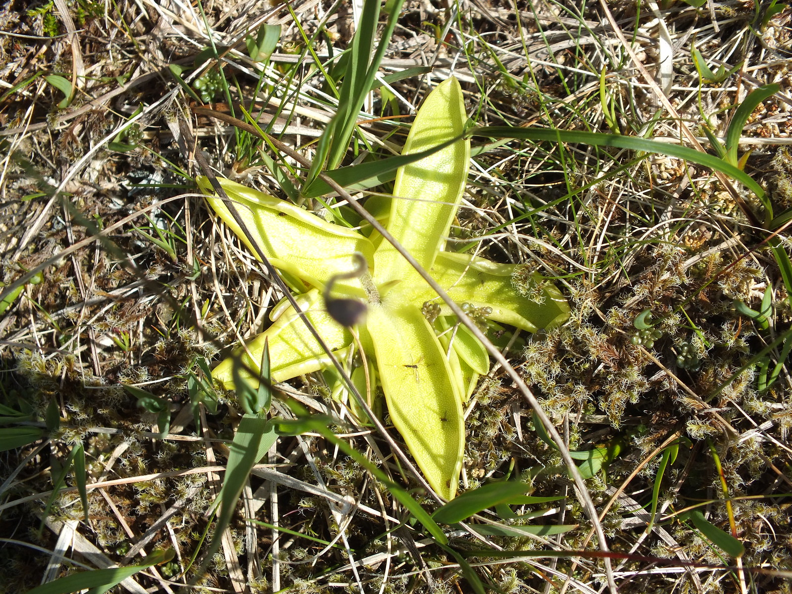
Unusual star shaped flower type thing
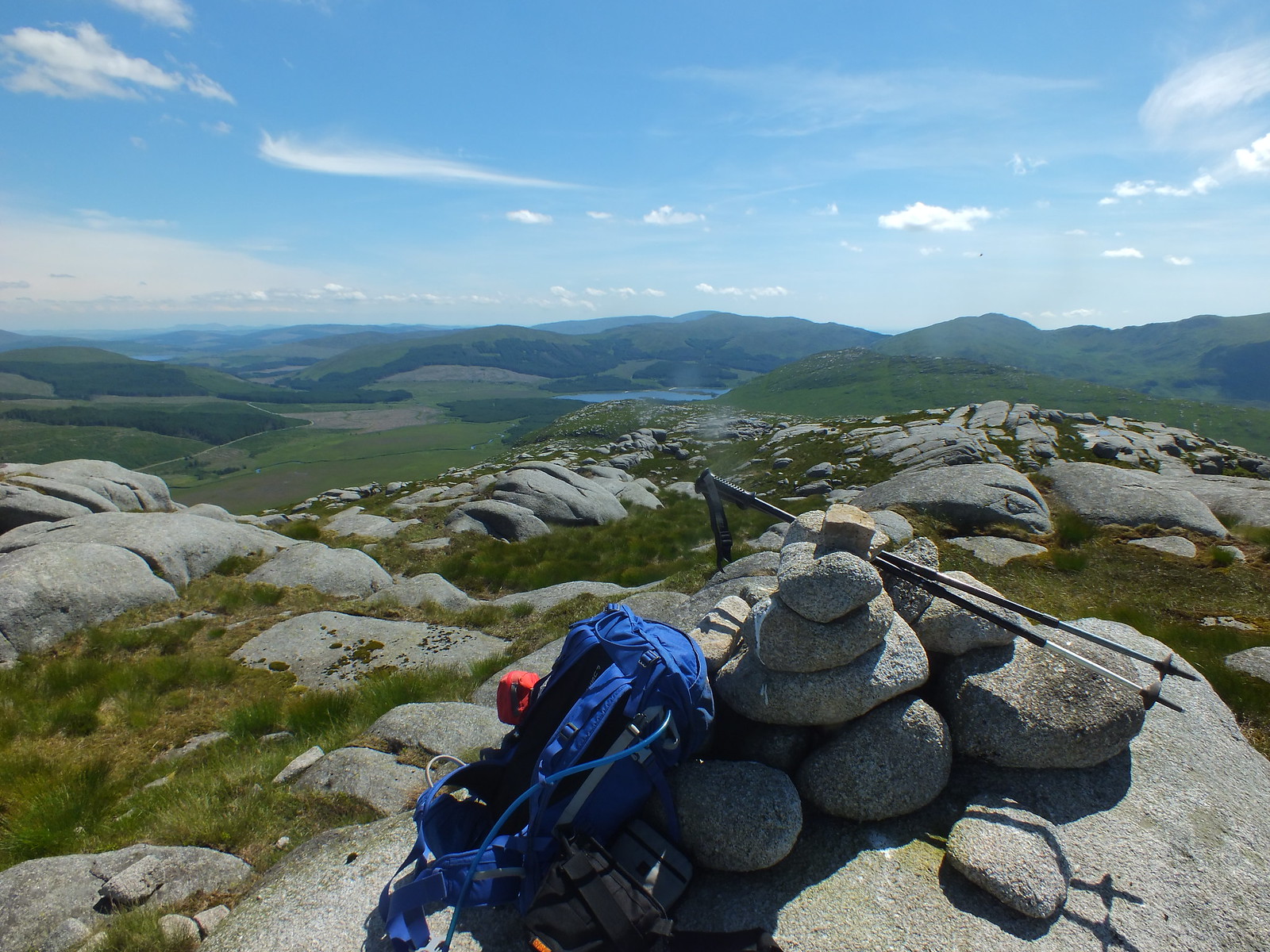
My target the Southern Upland Way
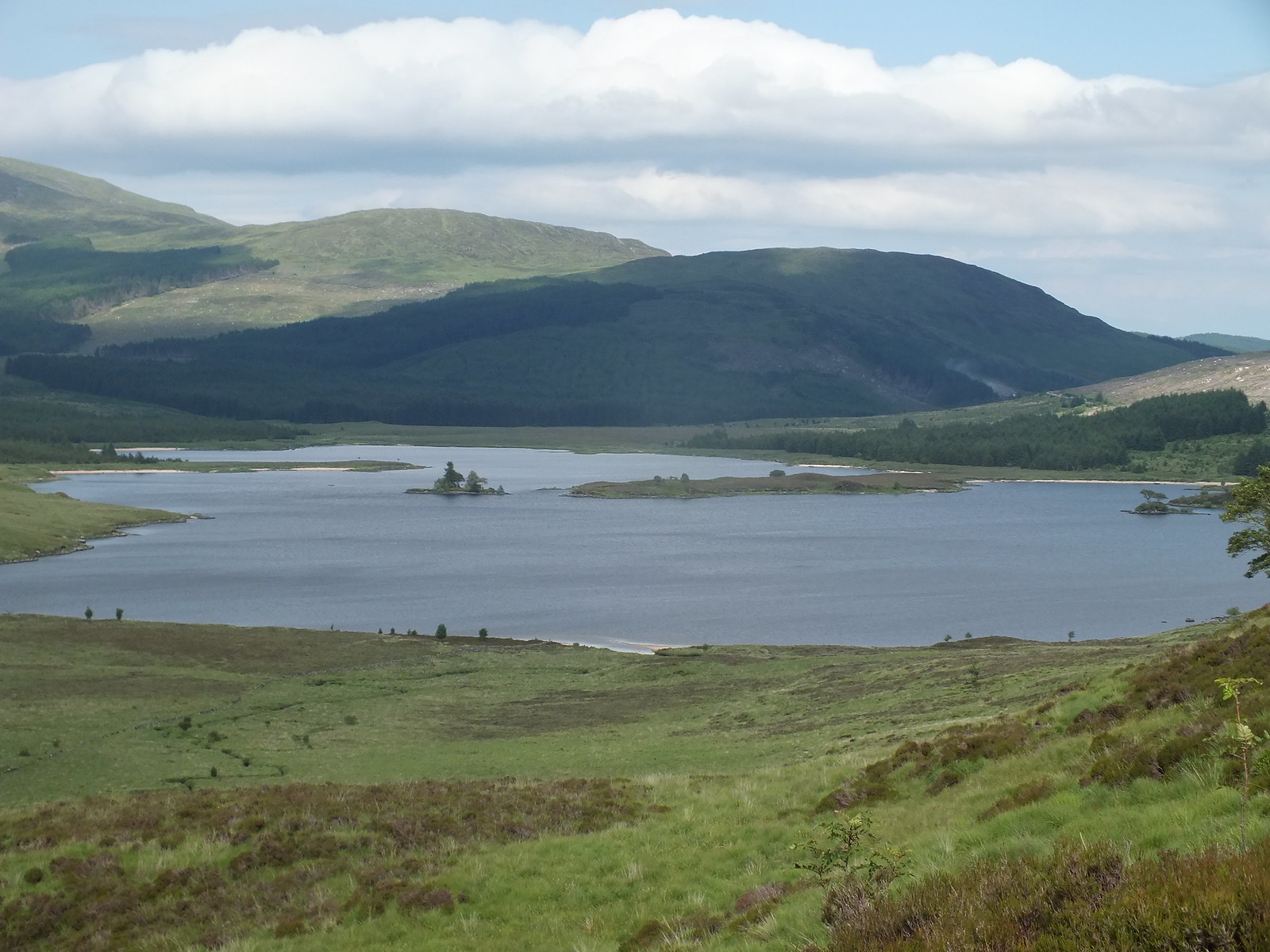
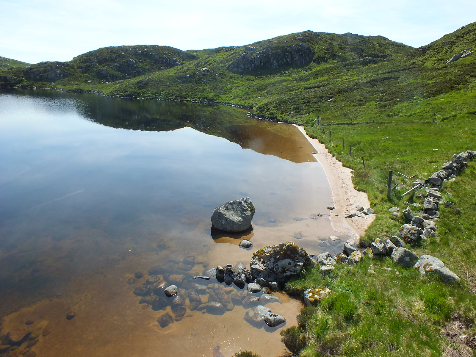
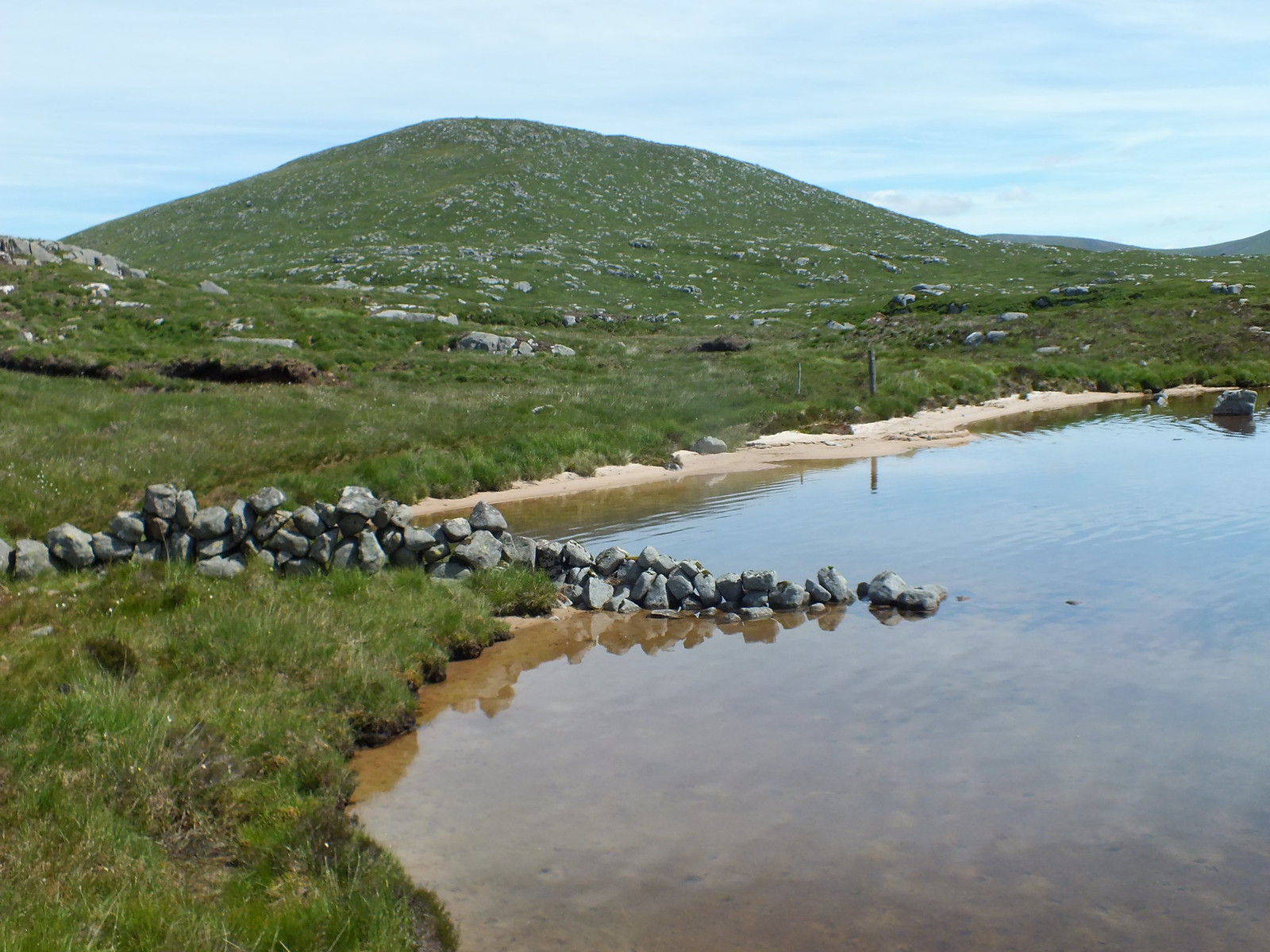
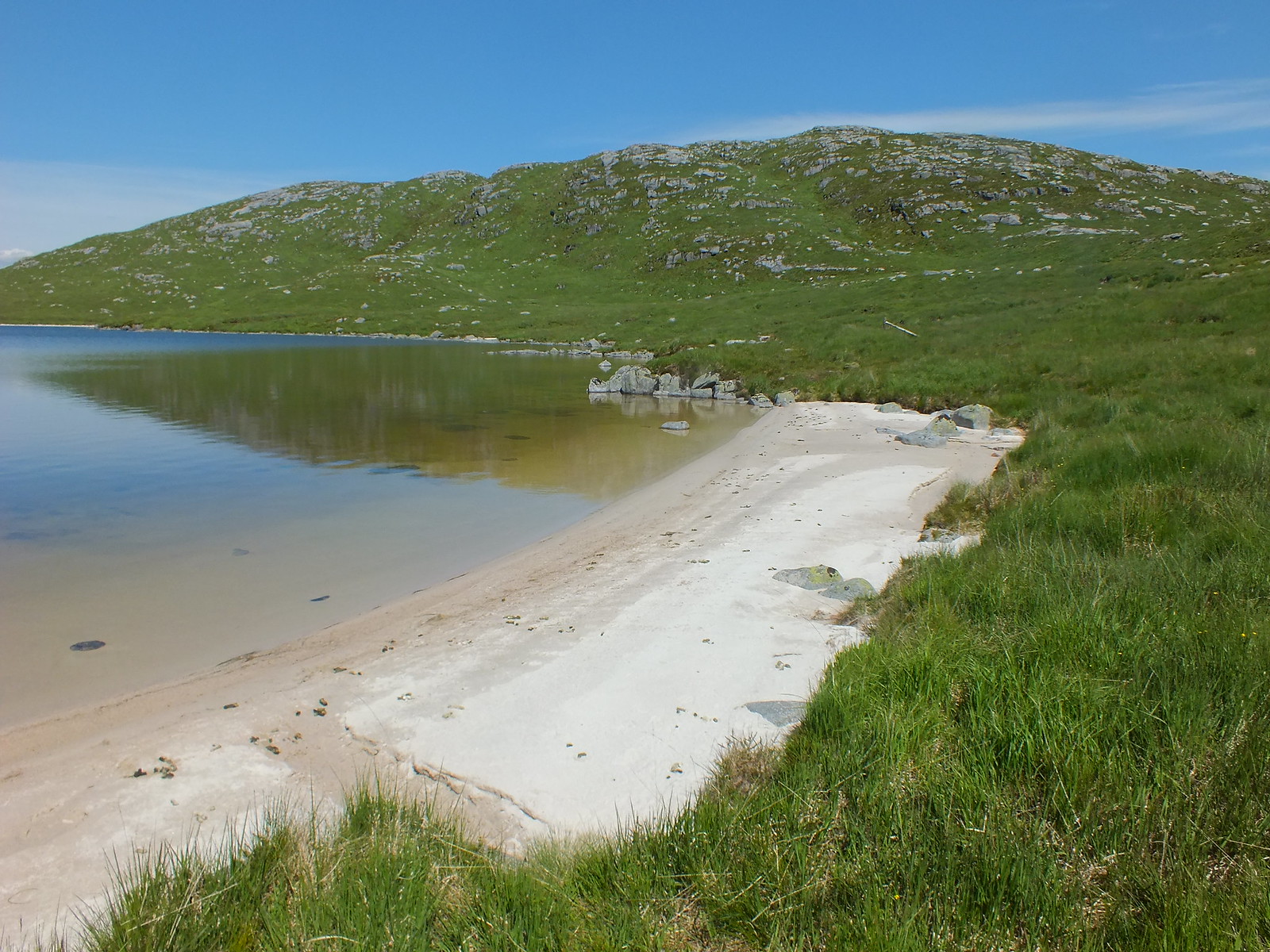
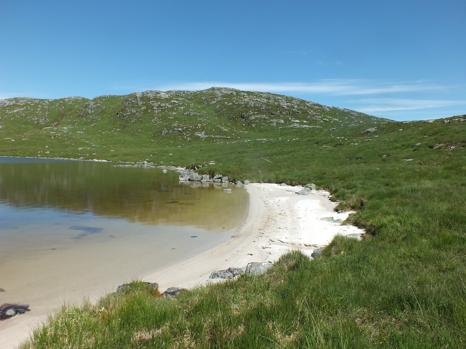
Low level shot of Loch Dee and it's sandy beaches
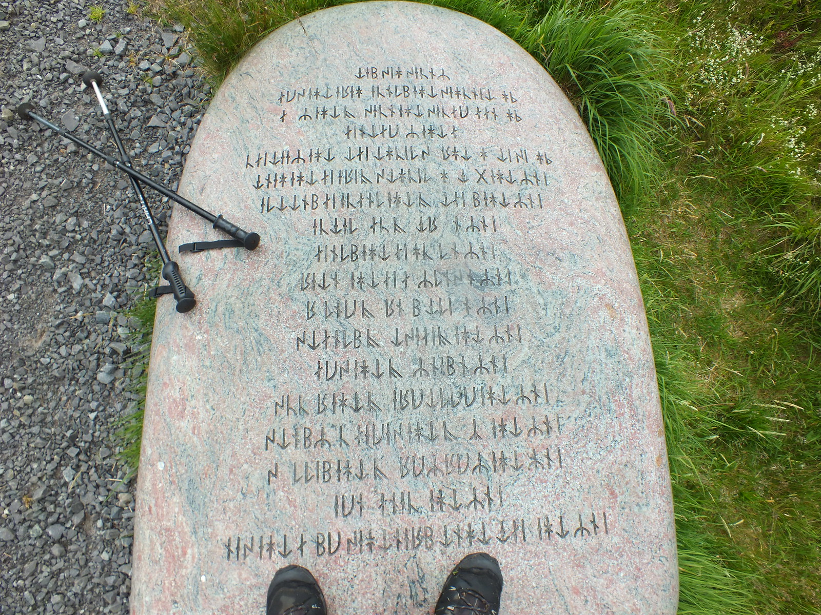
All that gobblydeegook translates into don't stand on the stone
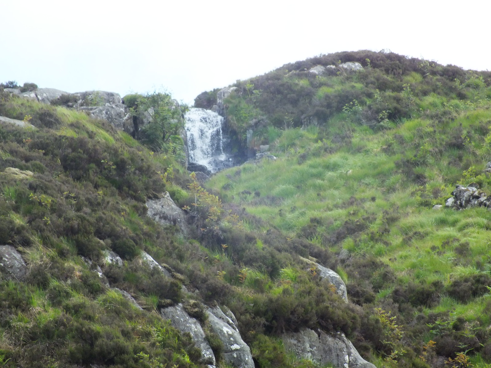
A different water feature
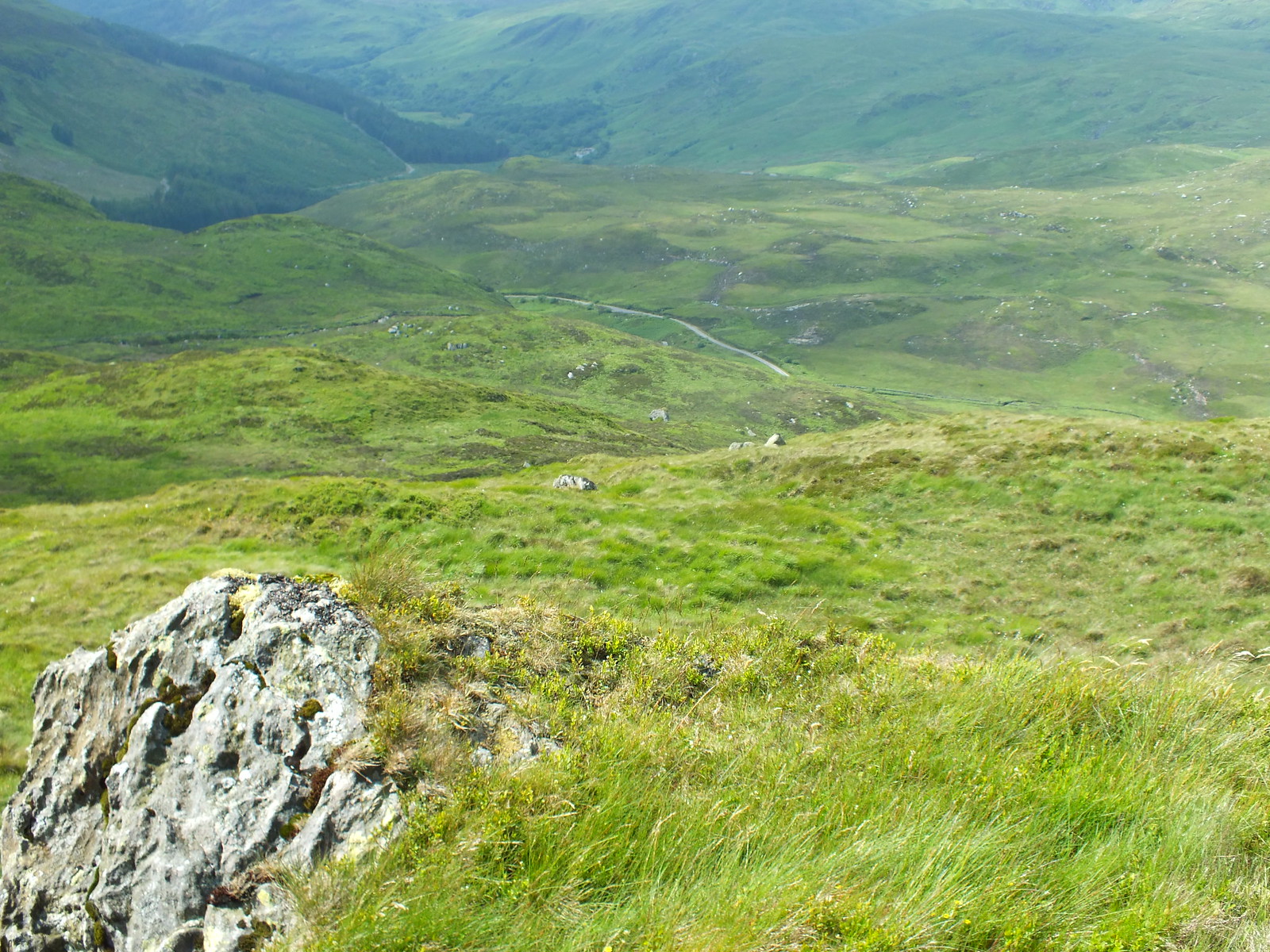
Looking back
The small group of trees in the photo above are where I got a huge fright, I was happily walking along counting my steps and I heard a noise behind me that I though was maybe a vehicle, so I turned round only to see the sky blocked by a C-130 Hercules doing the usual low level training. When I say low level I mean low level, the plane was barely above the trees and I felt as if I could reach up and touch it. Unfortunately I was too slow with my camera
I know from my previous job that there used to be 3 planes spaced out by about 5 minutes, obviously that is a thing of the past due to cost saving etc etc, I was ready with my camera but was wasting my time
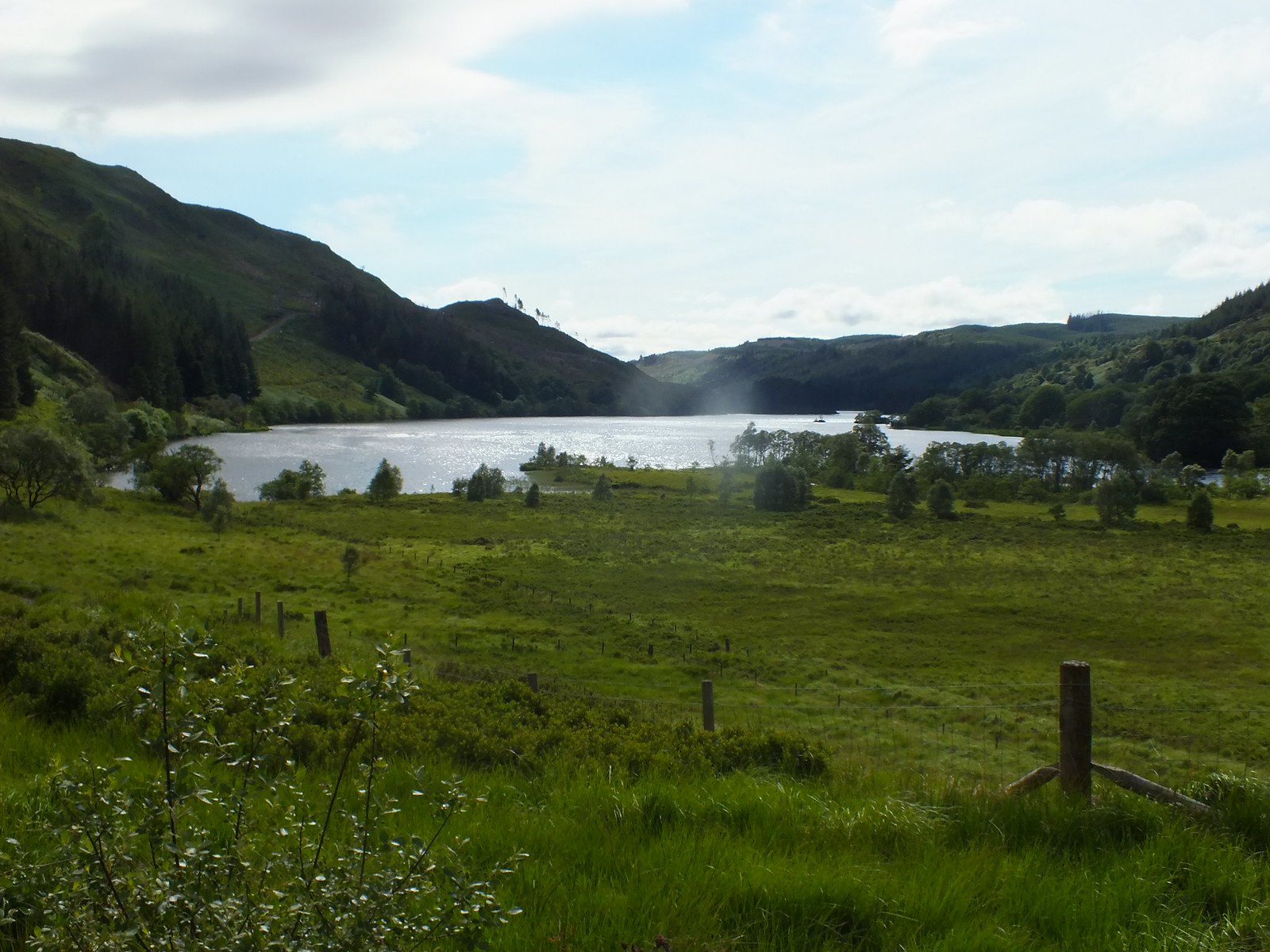
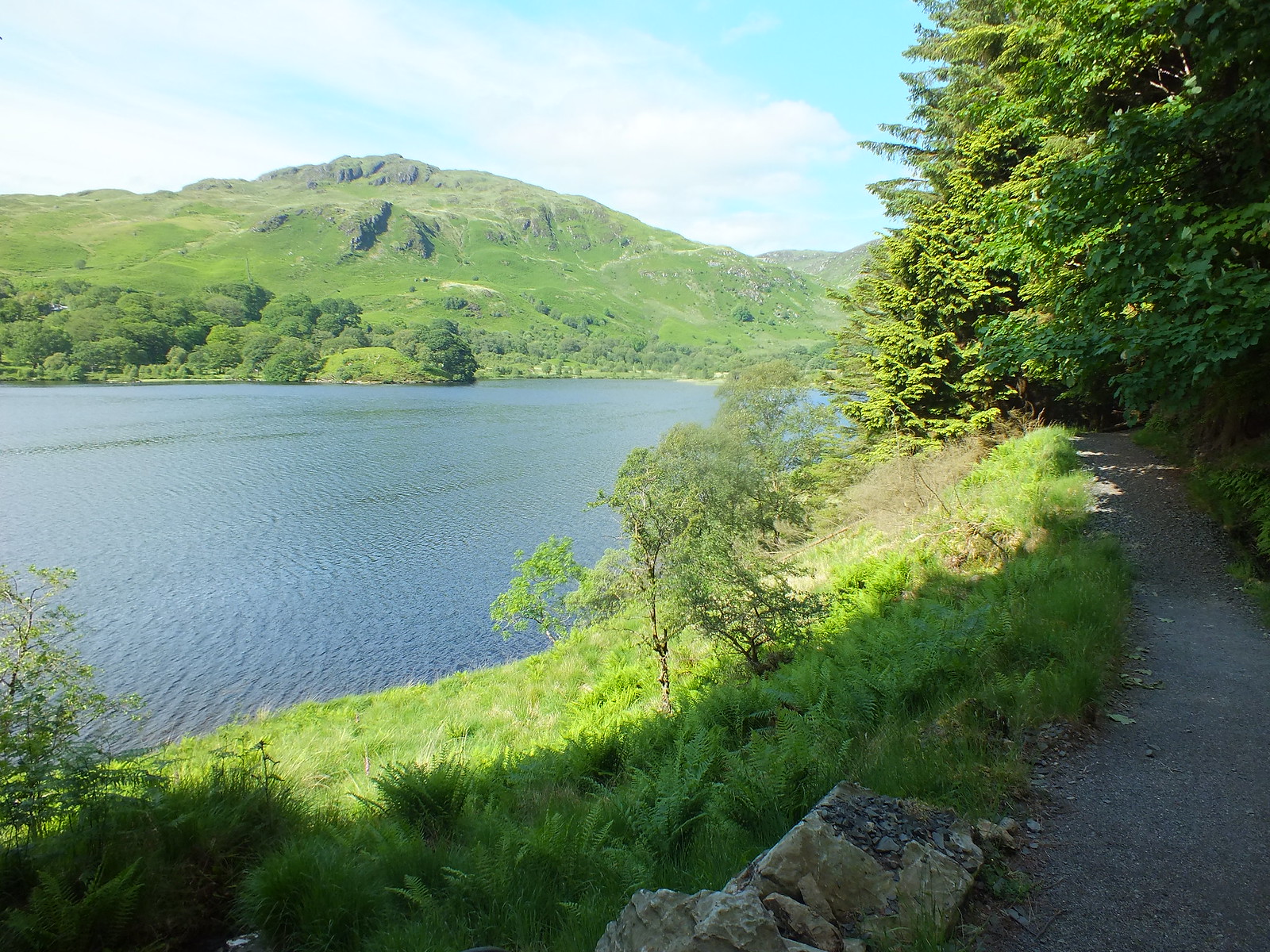
First glimpse of Loch Trool, only drawback is I have to walk to the other end of the loch which is about 2 miles long
Looking NW towards Nick of the Gully
Looking back
Looking back again
Still a fair bit to go to the end of the loch
Not a pretty sight
Really enjoyed the round, apart from the first venture into the forest. I was pretty fatigued when I eventually reached the car. Arrived at the B&B about 6.30pm and although I am familiar with the area around Newton Stewart as my late wife grew up just outside NS I have never been to Creetown. Not much in Creetown but it is close to the Solway Firth.
Day Two - Tuesday 20th June 2017
The was to tackle:
Mullwarchar, Dungeon Hill and my final Donald Craignaw
If I thought yesterday was tough, well I was in for a massive shock. After my breakfast of cereal, full Scottish and a couple of slices of toast along with a couple of cups of tea. I was intending to travel light and only had a few brunch bars plus 2 litres of diluted Vimto and a bottle of orange. The food plan worked a treat as I was getting hunger pangs until I was 20 minutes from the car. Liquid wise was a different matter, even if I had a fridge on my back I would still have been struggling. I said my goodbyes to Ken and told him I hoped his business would improve.
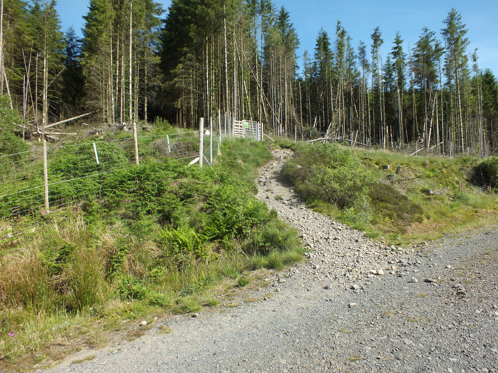
Parking area a bit busier than yesterday
I hadn't realised that the initial part of the route is the same as the Merrick
Low level shot looking back to Glen Trool
The bracken has certainly grown, it doesn't seem that long since the bracken was brown and dormant.
50 shades of green
The bothy en-route to the Merrick

Not for me today
The way up to the Merrick, I would be continuing along the track
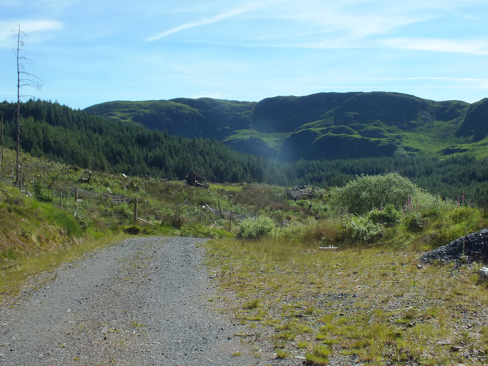
Never in favour of this going down stuff - when you supposed to be going up
Track turns into big stones
And then all of a sudden ENDS
The end of the track was not what I was expecting, having said that I could see where previous explorers had been so it was into the forest again
This forestry adventure was simple compared to yesterdays struggle, the main problem was the underfoot conditions. I can only imagine what it would be like in winter after a spot or two of rain.
In my element again (I wish)
Follow the faint path
The way ahead

Here we go again
A bit squidgy underfoot

Nice easy going
Daylight again
Once out of the forest I followed a faint path to the right that runs along the edge of the forest. The path then reaches a fallen down gate and then turns left and starts heading uphill. The uphill section to the bealach is fairly steady and not steep.
Aiming for the bealach ahead (of sorts)
Followed the fence down until another fence is reached, before the burn

Slight incline following the fence line
Once the bealach or brow of the hill is reached the view ahead is simply stunning, Loch Enoch has to be one the most picturesque lochs we have, especially above when you consider it is above 400m
Loch Enoch
A bit of descending almost down to the side of the loch
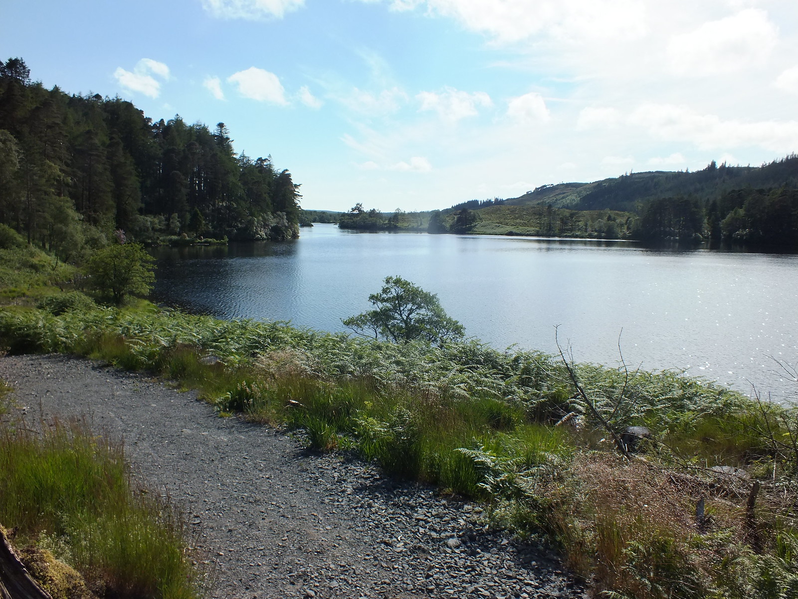
There is a path of sorts that contours round the loch, as with plenty of other paths it disappears and reappears.
Mullwarchar is the round hump on the other side of the loch.
I apologise for all the shots of Loch Enoch, but they are taken from different angles, that's my excuse
Stunning
Mullwarchar
Love the stone dyke wall continuing into the loch
I was wanting to take more photo's at the loch side but the local insect population were out in force, midges and bigger things I was kind of wishing I had my midgey net, so I had to keep moving to try and stay ahead of the enemy
There was an occasional slight breeze but not strong enough to deter my tiny enemies so I just had to keep moving
Looking back whilst ascending Mullwarchar

How did that get there?
Loch Enoch from a bit higher up with the Solway Firth in the background
The Merrick
Loch Doon
Above photo zoomed
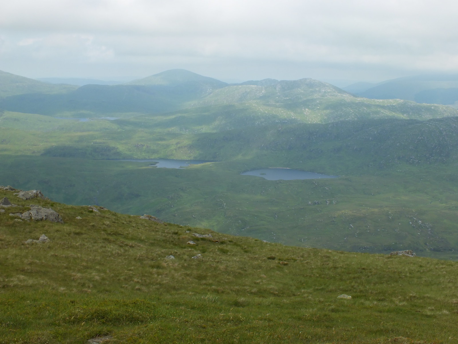
Loch Macaterick
Mullwarchar summit looking north
The views from Mullwarcher are fantastic in all directions, the Merrick dominates the view to the west and there are lochs in just about every other direction. I was scanning the terrain to my next target Dungeon Hill, I was planning to reduce the amount of descent/ascent and picked an area to head for, before the push up to the summit.
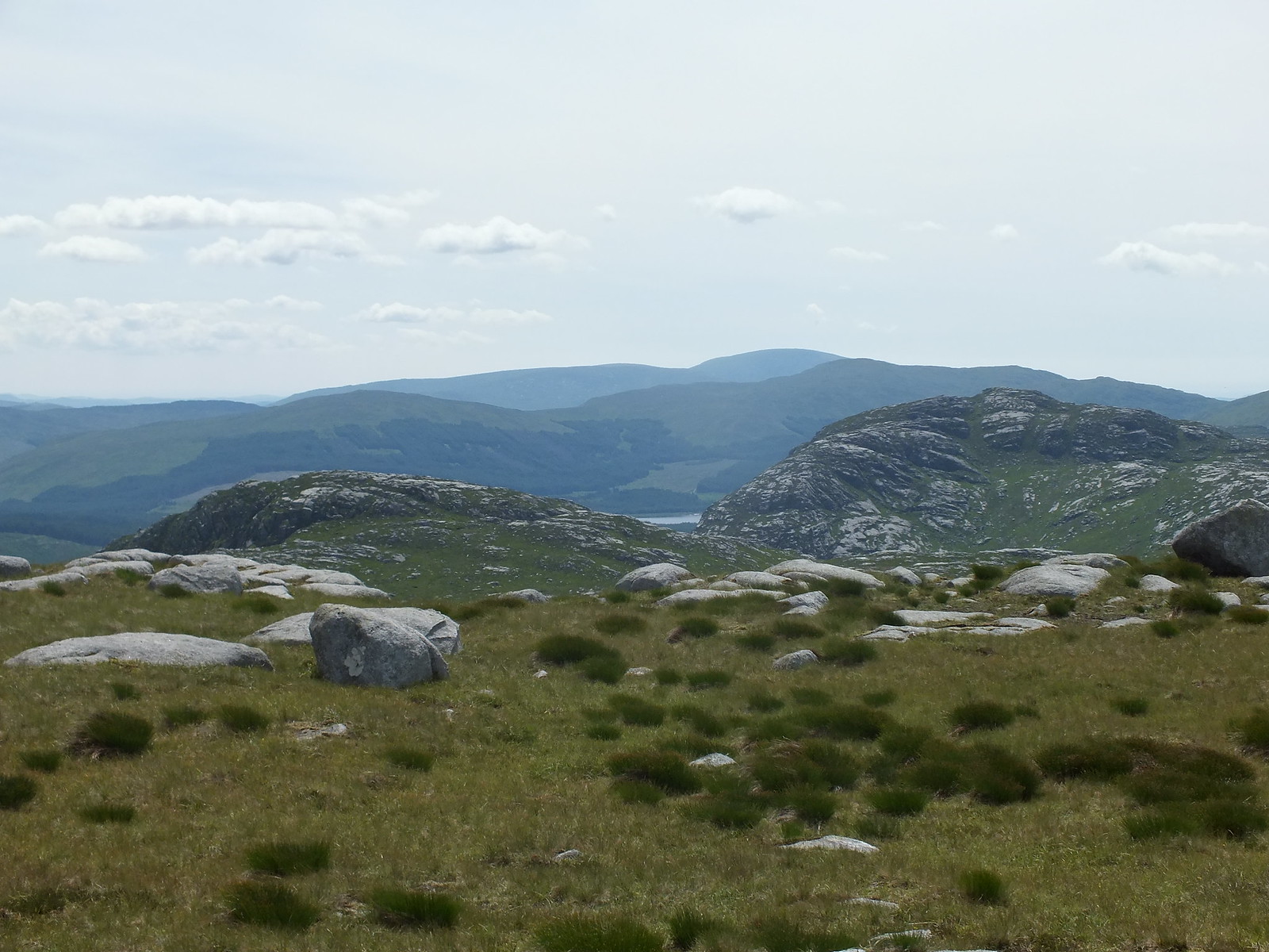
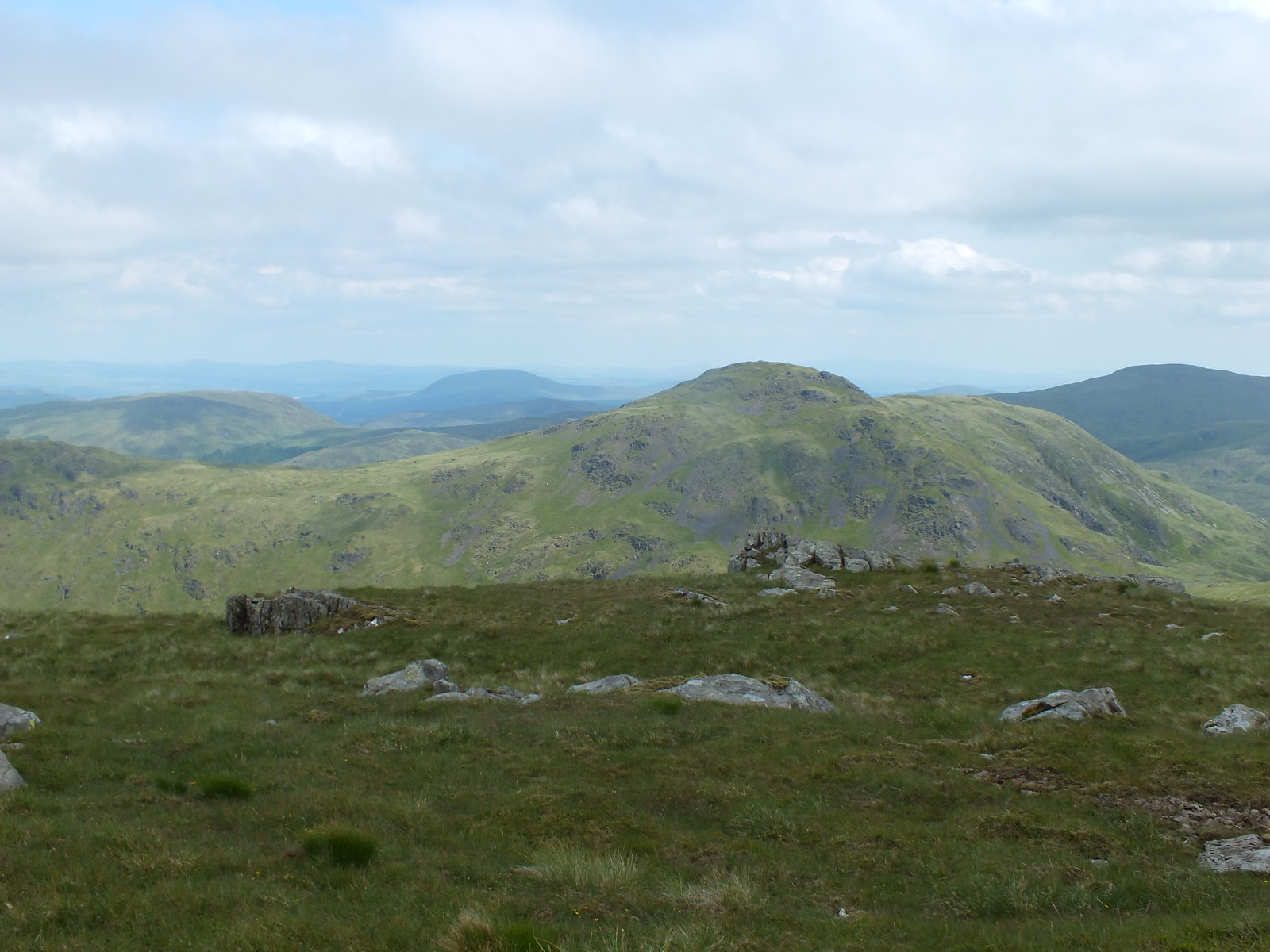
Looking across to the next 2 targets
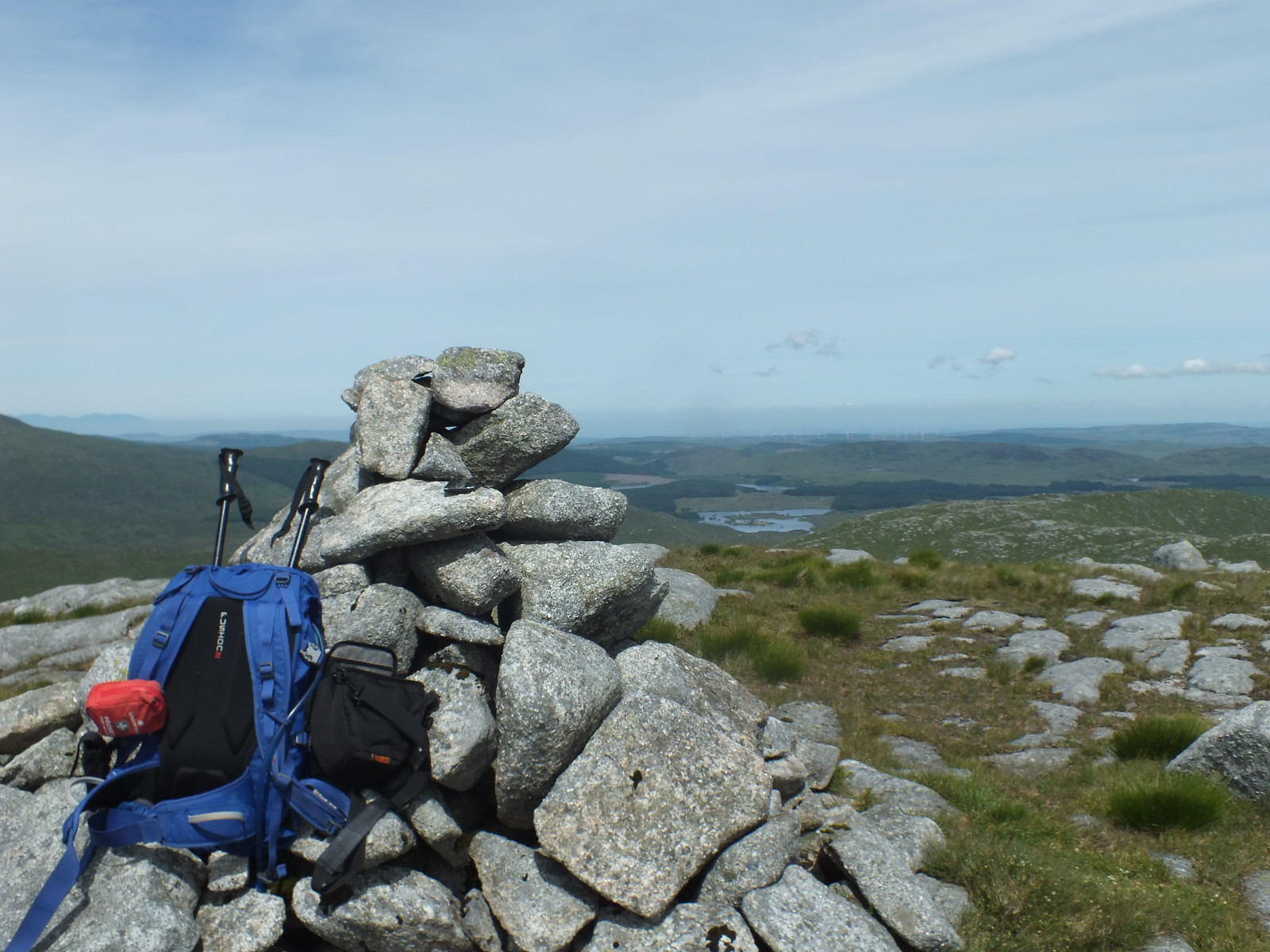
The ascent up Dungeon Hill is easy and took under one hour.
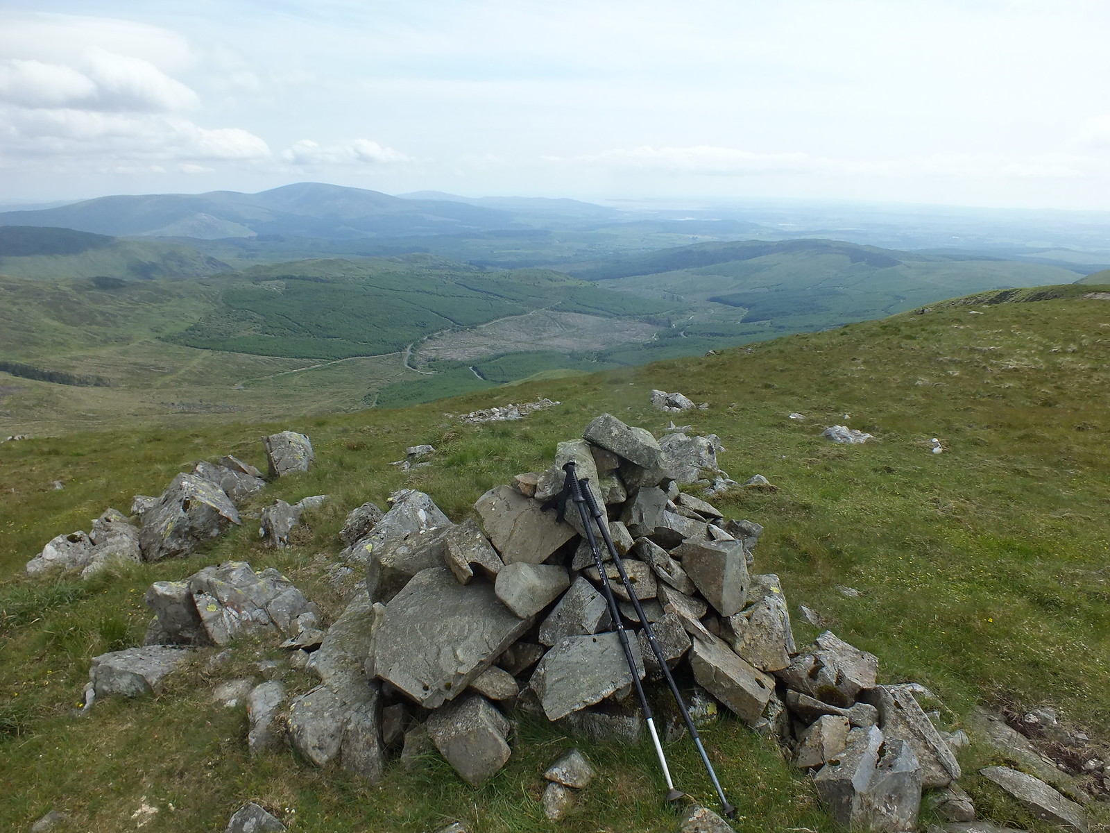
Summit cairn on Dungeon Hill looking across to Craignaw
There is no path to follow descending off Dungeon so once again I picked a mental route and off I went, there is a kind of bealach joining the two hills. Once the bealach is reached there is then plenty of ascending and descending before I reached a steep grassy slope that means gaining height quickly but also very energy sapping.
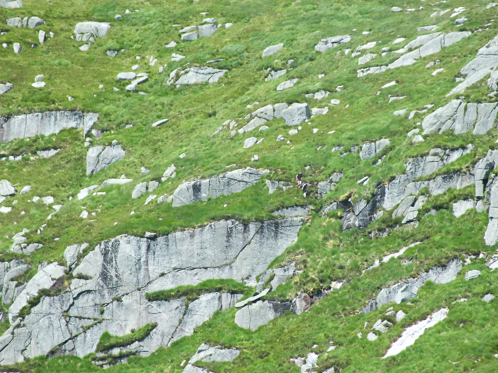
A couple of females who were doing a different route to me, the only human beings I saw over the 2 days
Final Donald summit of Craignaw
Looking south to Loch Valley

Loch Doon zoomed
One happy and knackered bunny
Now to the descent, I had a couple of routes on my phone and ignored both of them, my plan was to head round Craig Neldricken and head round the southside of Loch Enoch.
Like a patchwork quilt
Steep descent off Craignaw
Arty shot
By the time I reached Loch Enoch I was feeling absolutely exhausted and to make matters worse the insects had found me again. I stopped twice at the side of the loch to soak my cap in the cool water, I also filled up my empty water bottle.
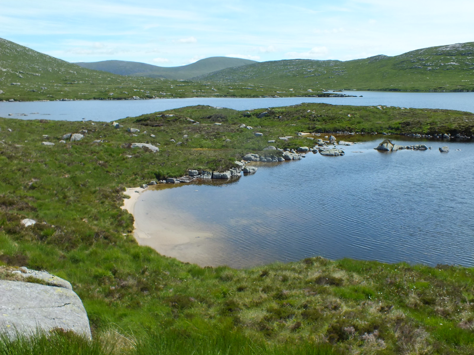
One of Loch Enoch's many beaches
And again
My final stop at Loch Enoch was on the beach for another cap soaking before heading uphill. I was so exhausted that I put my camera in my rucksack and didn't take any more photo's as I knew the route back. I did come across a large stag grazing in the forest, I managed to take a few photo's with my phone, before it dashed off into the undergrowth.
The rest of the descent and walk back to the car really did test my powers of endurance. I split the trudge back into imaginary sections, out of the forest, then along the track to the bothy and then finally I knew that once I reached the bothy it was only half an hour before the car would come into sight.
That is probably the hardest walk I have done, mainly because of the heat. It kind of compares to my visit to Ben Alder on a scorching July day. Although I had a monster day in Fisherfield this was even tougher.
Craignaw was my final Donald and I had deliberately saved this route as Kilted Biggles always mentioned Mulwarcher and how good it was and he was absolutely spot on

My round of Donald's is dedicated to my mother who sadly passed away earlier this year, her mothers surname was Donald so it seems like a perfect match
The Donald's are a fantastic and varied batch of hills, alright there are only 89 of them but they are spread out and I would recommend if anyone fancies tackling them to plan your routes very carefully. There are groups of hills that can be tackled in one day without too much effort. One pair of hills in the Lowthers are unique in that there is a tarmac road between the two summits, where else can you find that.
This journey started off during the winter months to keep up the fitness levels and progressed from there. The biggest hurdle with travelling from Fife is that Edinburgh is in the way to the majority of the hills, but getting to Dumfries & Galloway is far from easy.
So what next you ask? At the moment I am leaning towards revisiting Munro's starting off with the ones I climbed over 20 years ago and also the ones where the weather was pants
Having said that I will be picking off any other hill that I fancy and we really are spoilt for choice.
