free to be able to rate and comment on reports (as well as access 1:25000 mapping).
After yesterday's warm-up, it was on to the main event, a bigger walk than Sour Howes and Sallows and I had got it into my head that I would be leaving the Lake District today with 10 Wainwrights in the bag!
When planning the night before, after seeing the hills at the north end of Windermere and Ambleside on the boat trip, I searched some walks on the Lake District equivalent of Walkhighlands (not hard to guess what
that is

) and tried to find a route that would be around 11-12km and also had 4 Wainwrights. The full Fairfield Horshoe was probably too much for Y but what's this, there's a route you can do from Grasmere, up to Stone Arthur, Great Rig, along to Heron Pike (after the north top) and down to Nab Scar. Four to bag and 13km, although we would not do the full loop shown, instead we'd cut down and follow a path from Nab Scar to Alcock Tarn and back to the start point of the ascent so knock a km or so off. Perfect.
We had another hearty brekkie at the excellent Beech House B&B in Windermere we set off to Grasmere, got caught doing a full loop of the town once to find a parking spot (I wonder how many others do this on their first drive through!

) but luckily before turning right to head into Grasmere again I caught sight of the large lay-by on the left of the A591 heading south and pulled in there. Sweet, just a walk along the road to the hotel where the walk starts.
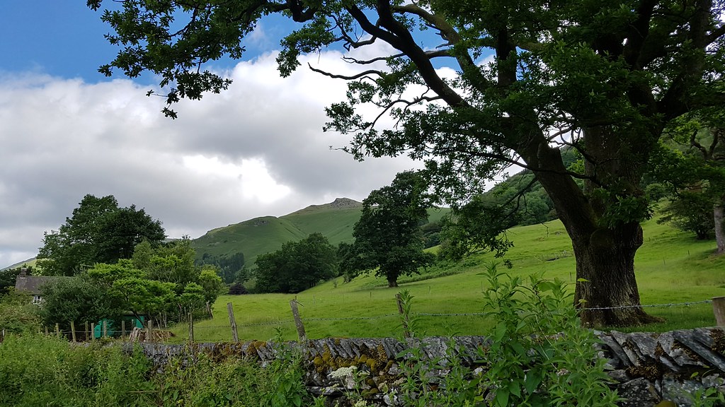
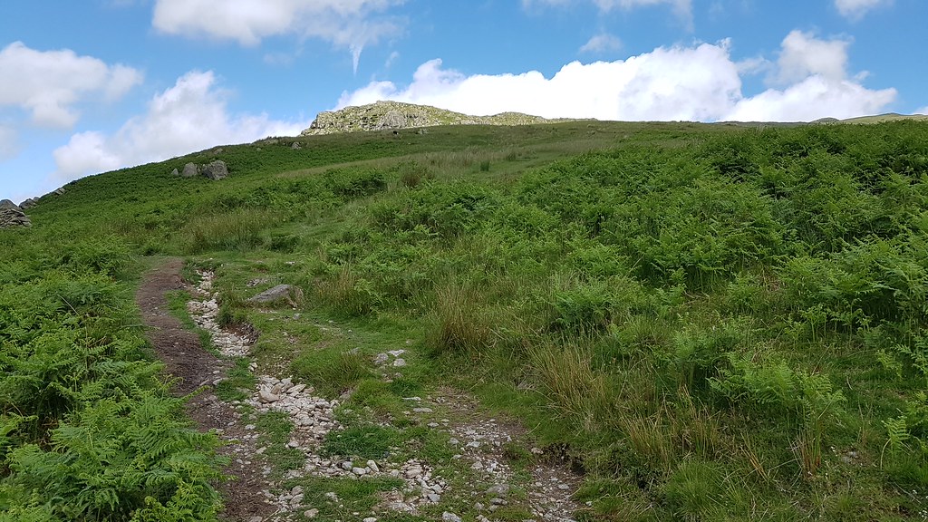
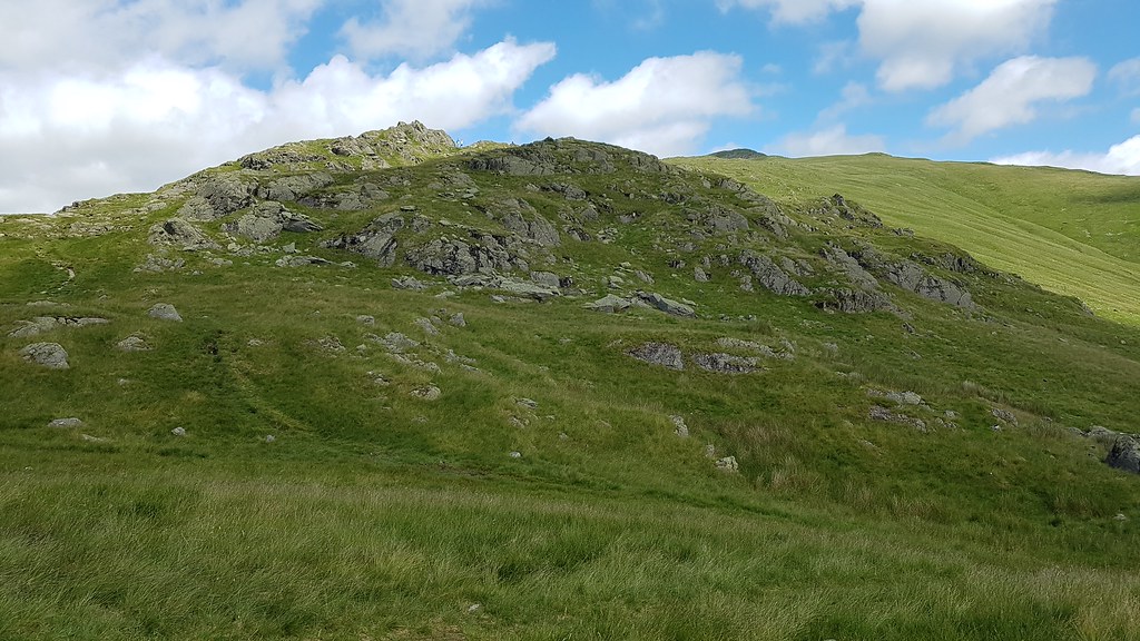
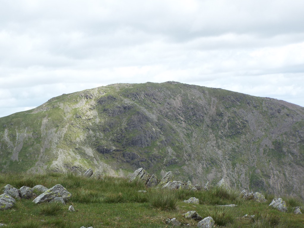
Tooling up in the boot our first target; Stone Arthur, teased us in the distance. Looks like a steep ascent to begin with!
 20170625_103713
 by
Chris Mac, on Flickr
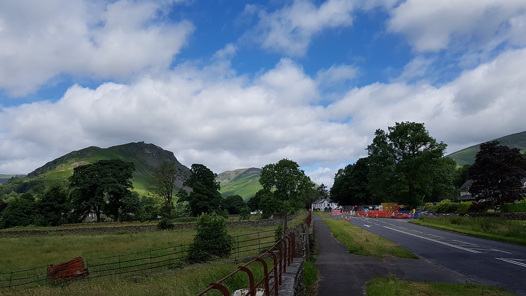
All set, off we go along the road heading north with wee Helm Crag looking good on the left, MacDonald Swan Hotel up ahead where we'll turn right:
 20170625_105641
 by
Chris Mac, on Flickr
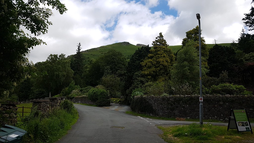
We take the road on the right aside the hotel and Stone Arthur pops into view again:
 20170625_110148
 by
Chris Mac, on Flickr
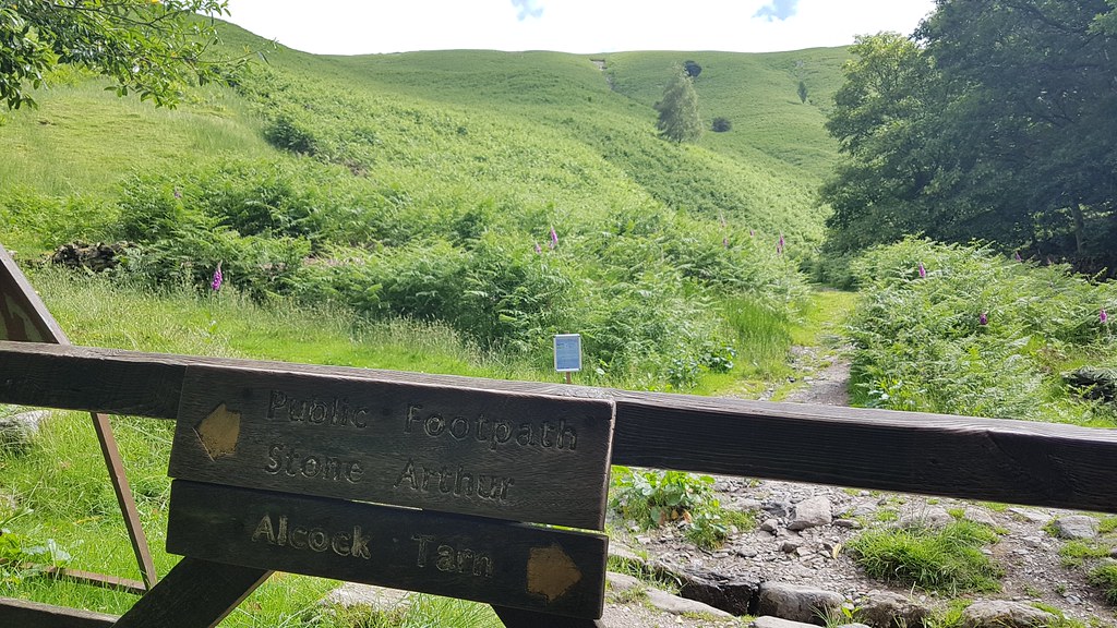
Follow it round to the left then take a right turn at the wooden sign post for the Greenhead Gill Track:
 20170625_110251
 by
Chris Mac, on Flickr
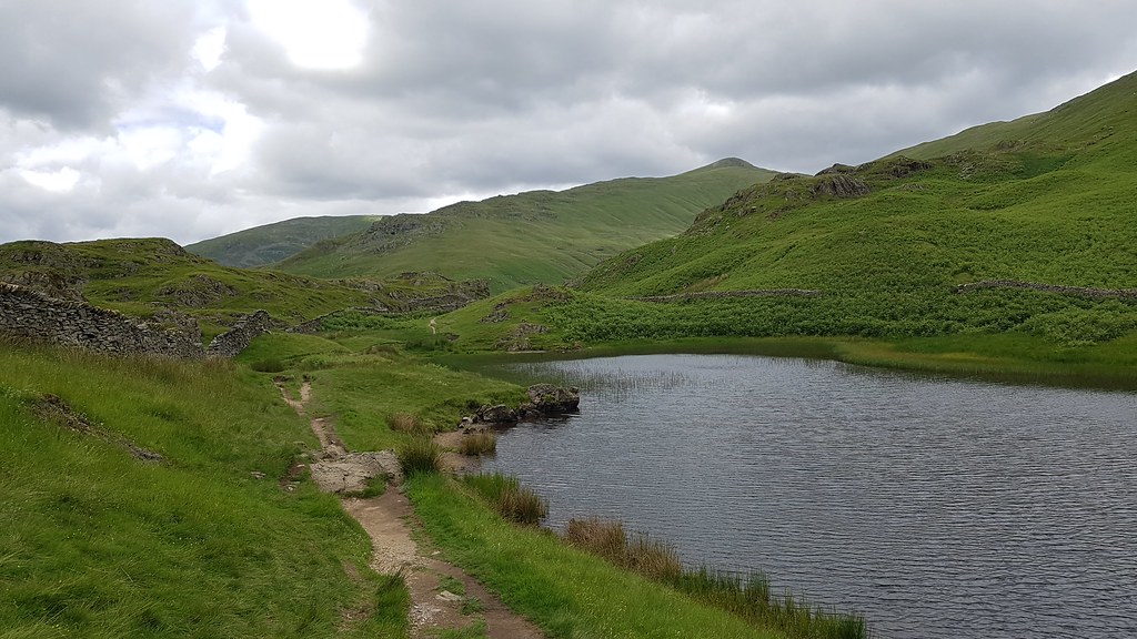
This is our loop point, we're going left for the ascent and will finish at Alcock Tarn coming back down the path to the right:
 20170625_110734
 by
Chris Mac, on Flickr
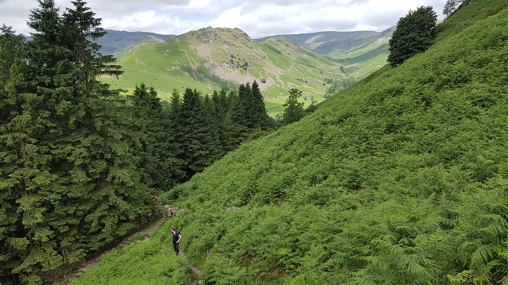
Immediately the landscape is instantly appealing, take that Y!
 20170625_110859
 by
Chris Mac, on Flickr
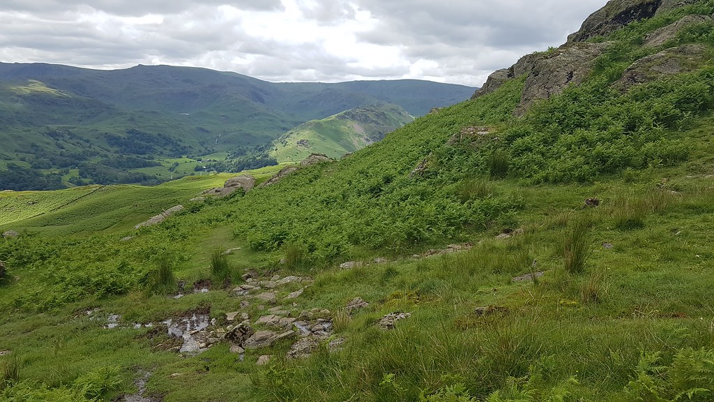
Unfortunately the path is also a bit of a hike to begin with so there are a few break stops but luckily, as is always the case with a steep ascent, the views get better with every step! Helm Crag:
 20170625_112321
 by
Chris Mac, on Flickr
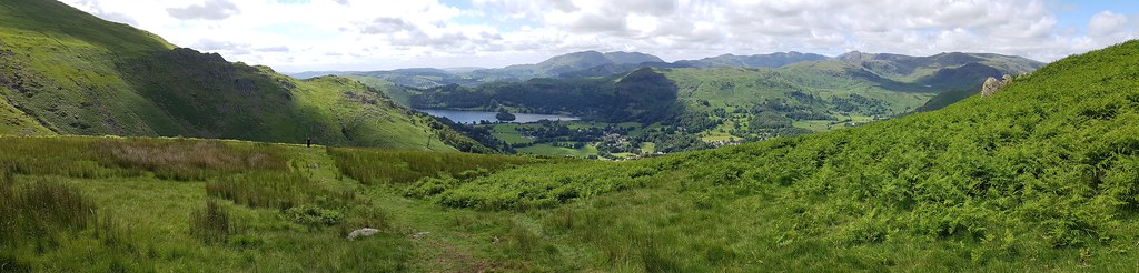
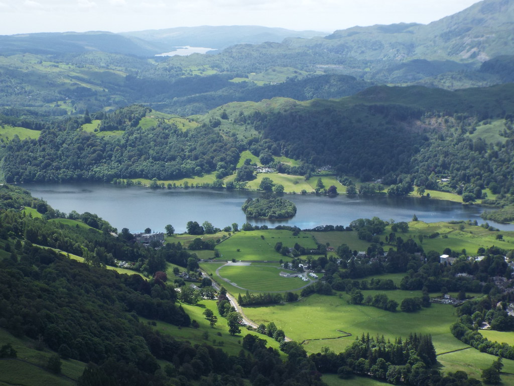
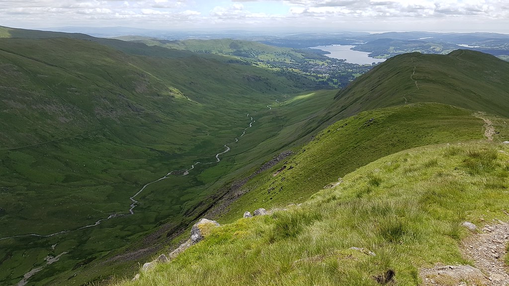
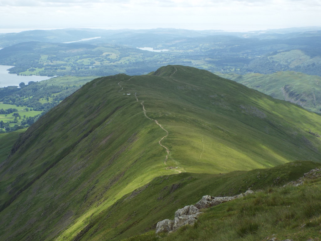
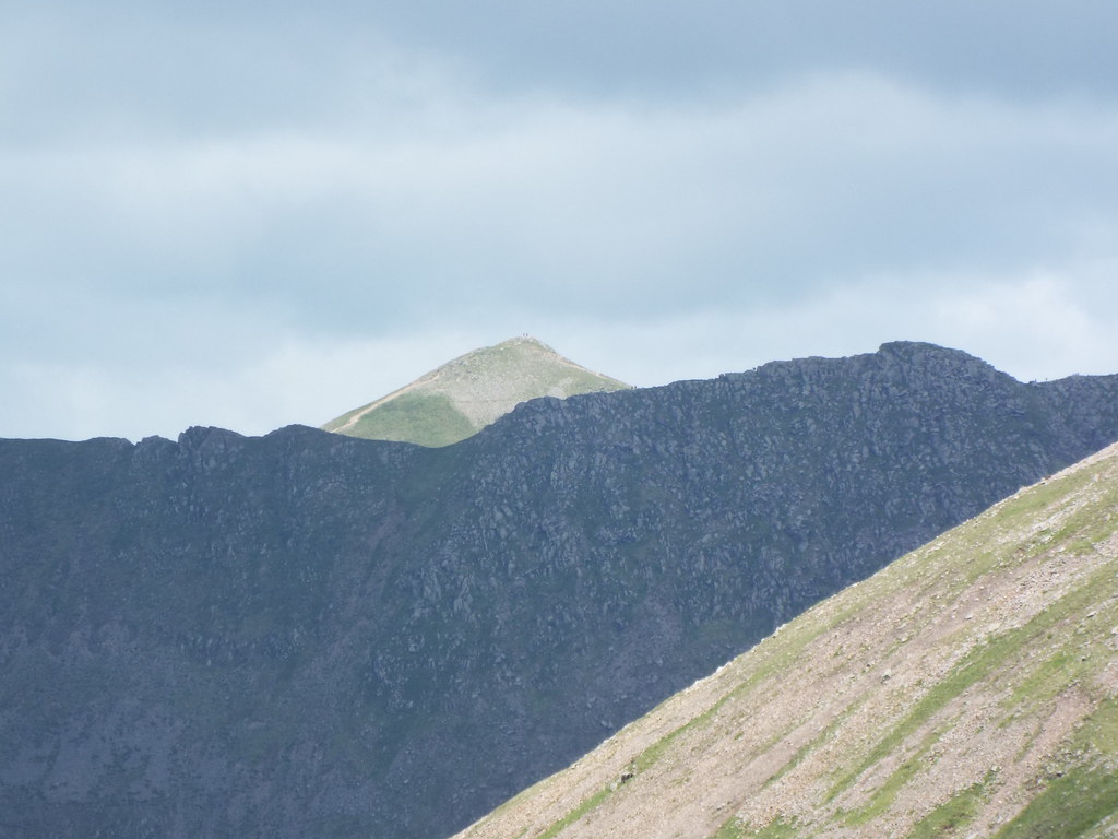
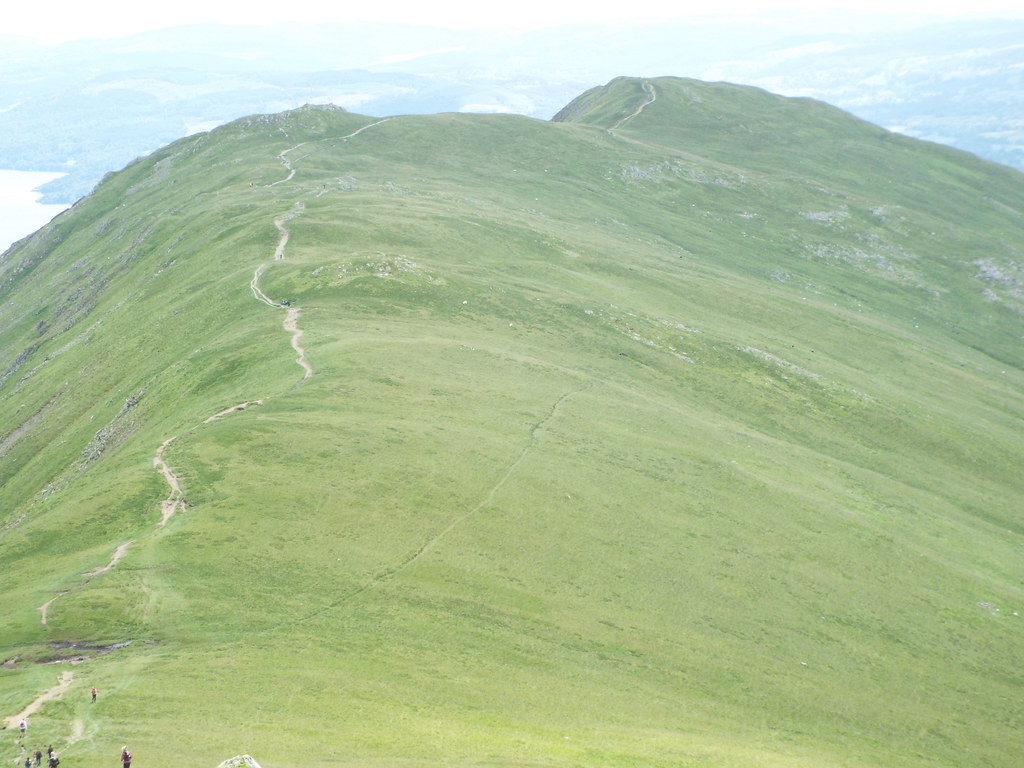
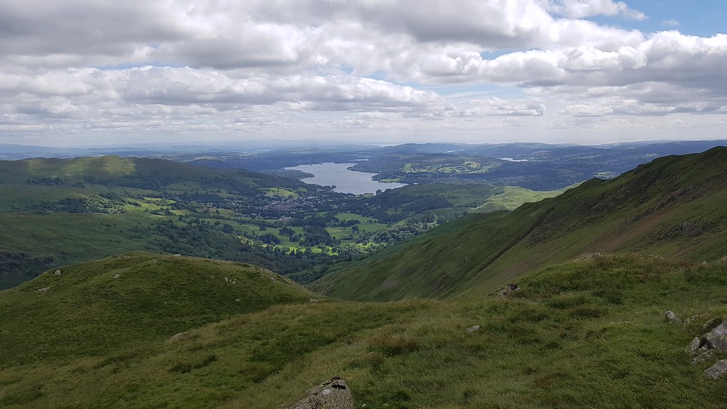
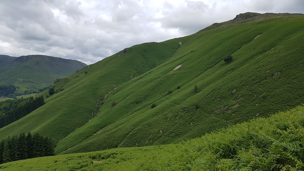
The path cuts diagonally across the steep green hillside towards the lone tree higher up. Stone Arthur is top left, Heron Pike in the middle and Grasmere Lake bottom right:
 20170625_112509
 by
Chris Mac, on Flickr
We're much closer to the Langdale Pikes and Old Man of Coniston than we were yesterday and i'm loving it as the views open up:
 20170625_113520
 by
Chris Mac, on Flickr
 20170625_113527
 by
Chris Mac, on Flickr
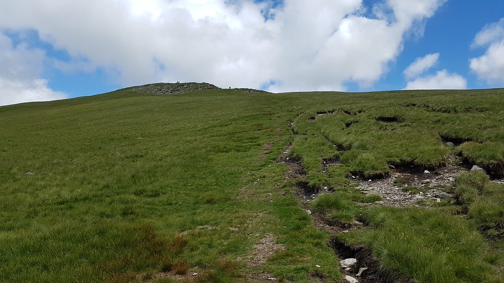
We pass a sheep and lamb at the lone tree then the path turns left and goes up to Stone Arthur's rocky summit:
 20170625_115321
 by
Chris Mac, on Flickr
Nothing boring about our walk today!

 20170625_115535
 by
Chris Mac, on Flickr
I do quite enjoy bounding ahead (i'm now called mountain goat on a regular basis) as it's great getting tiny stick figures in the middle distance to add some scale to the vista.
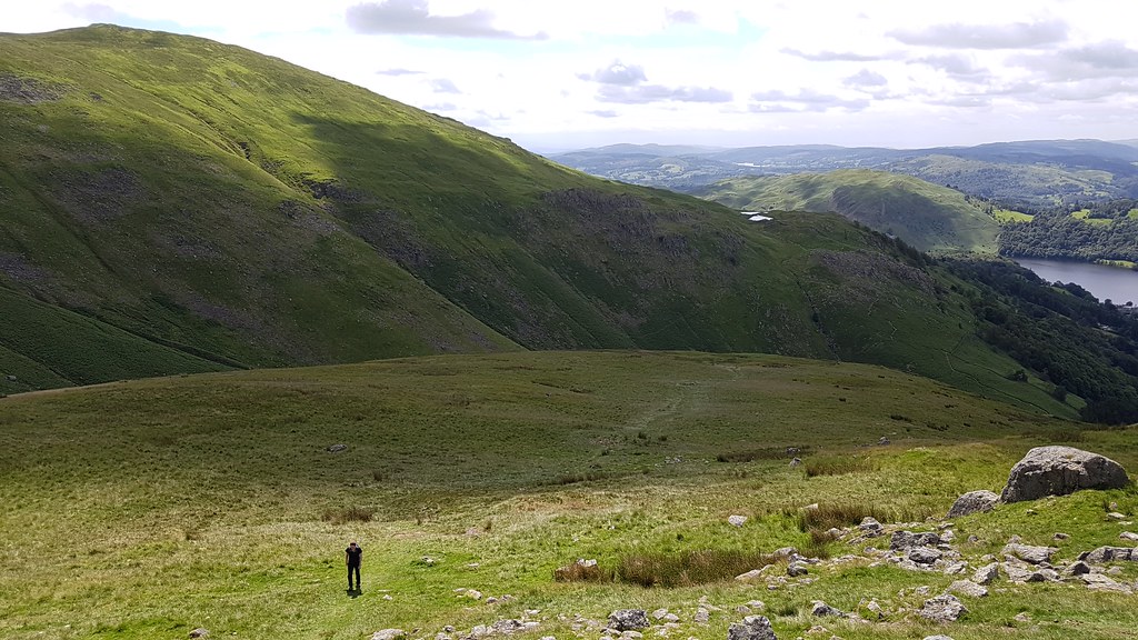
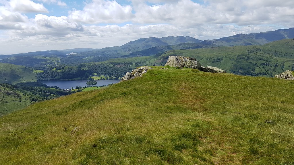
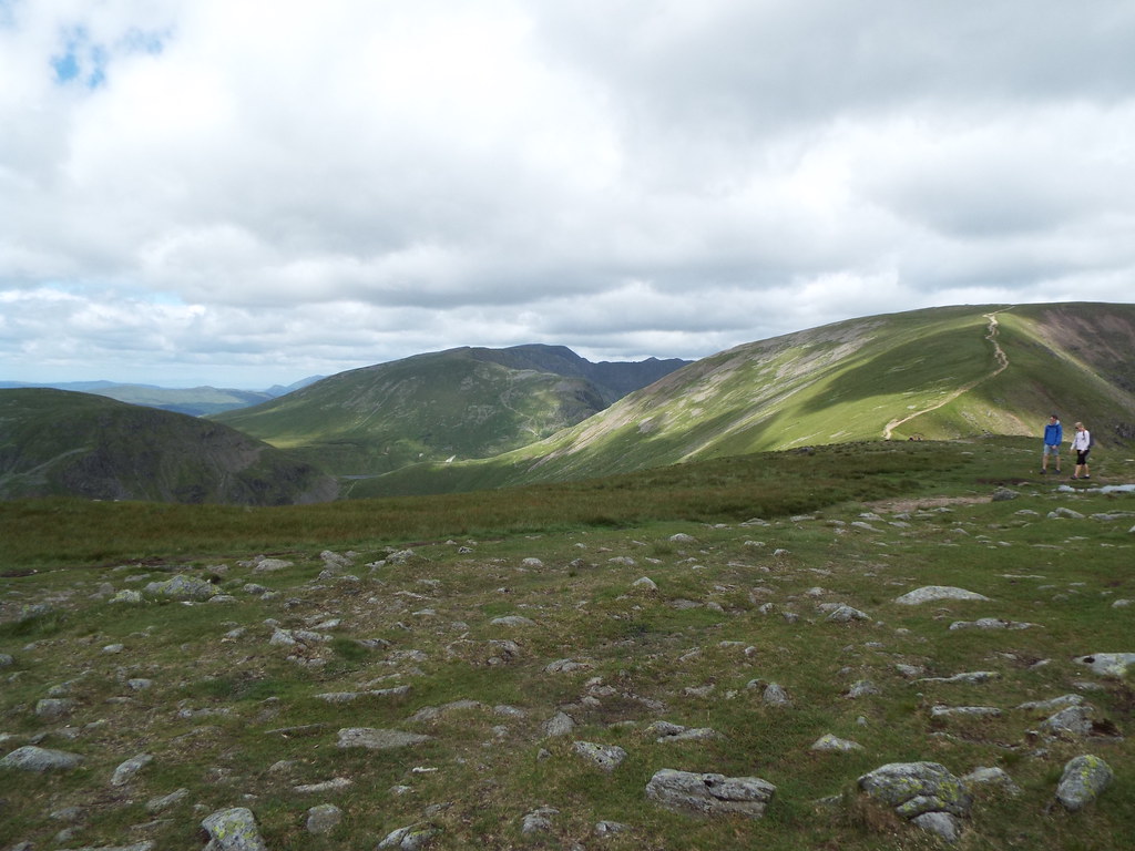
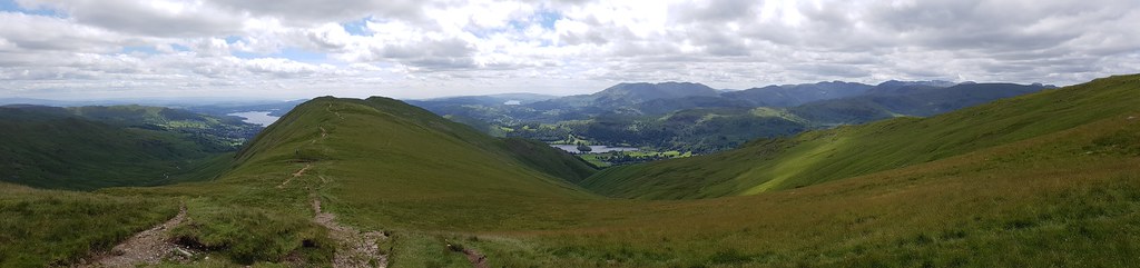
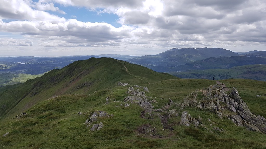
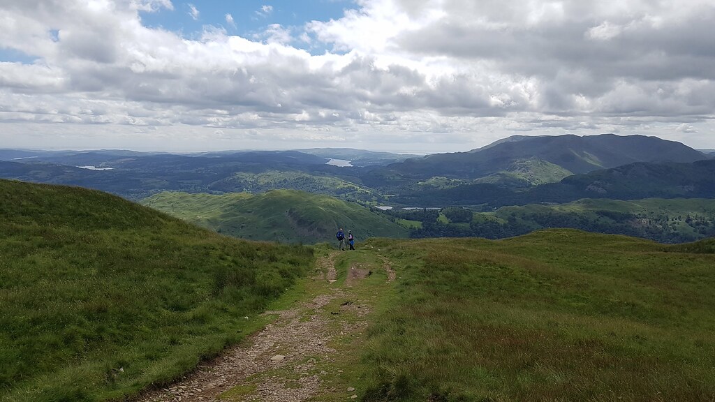
Heron Pike, blocking the view to Windermere, it will be good once we're up at Great Rig and can see in that direction. Middle right is Alcock Tarn and our descent route:
 20170625_120908
 by
Chris Mac, on Flickr
Now we're talking!
 20170625_120923
 by
Chris Mac, on Flickr
Almost at Stone Arthur summit (behind me in this photo) and up ahead mid right is the summit of Great Rig:
 20170625_121412
 by
Chris Mac, on Flickr
Stone Arthur, 1 down 3 to go:
 20170625_121451
 by
Chris Mac, on Flickr
Grasmere:
 20170625_121801 DSCF0655
 by
Chris Mac, on Flickr
Helvellyn now visible in the distance behind Seat Sandal:
 20170625_121902 DSCF0660
 by
Chris Mac, on Flickr
Grasmere:
 20170625_121906 DSCF0665
 by
Chris Mac, on Flickr
We enjoy the break and view for a bit longer before heading off again up the path towards Great Rig:
 20170625_122201 DSCF0669
 by
Chris Mac, on Flickr
 20170625_124705
 by
Chris Mac, on Flickr
 20170625_124942
 by
Chris Mac, on Flickr
 20170625_125406
 by
Chris Mac, on Flickr
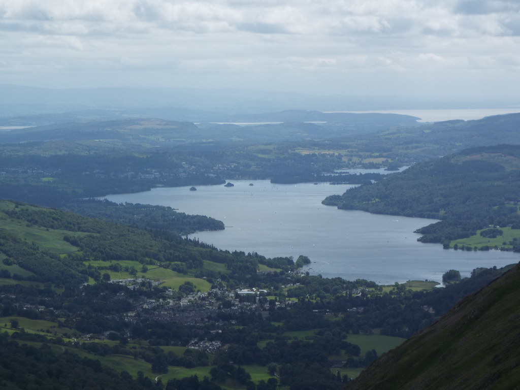
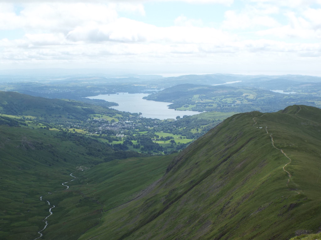
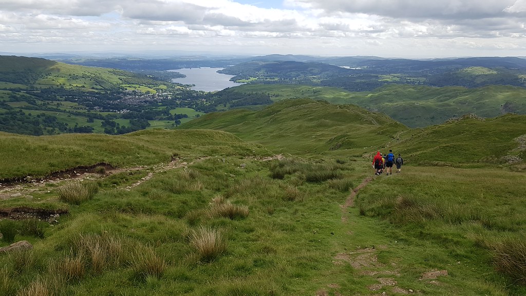
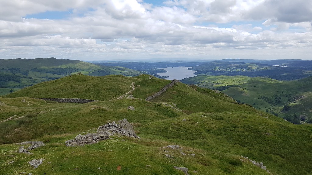
At last, Windermere comes into view on our right to the south, as does the path we're taking next to visit Heron Pike:
 20170625_125827
 by
Chris Mac, on Flickr
Soon be there...
 20170625_125952
 by
Chris Mac, on Flickr
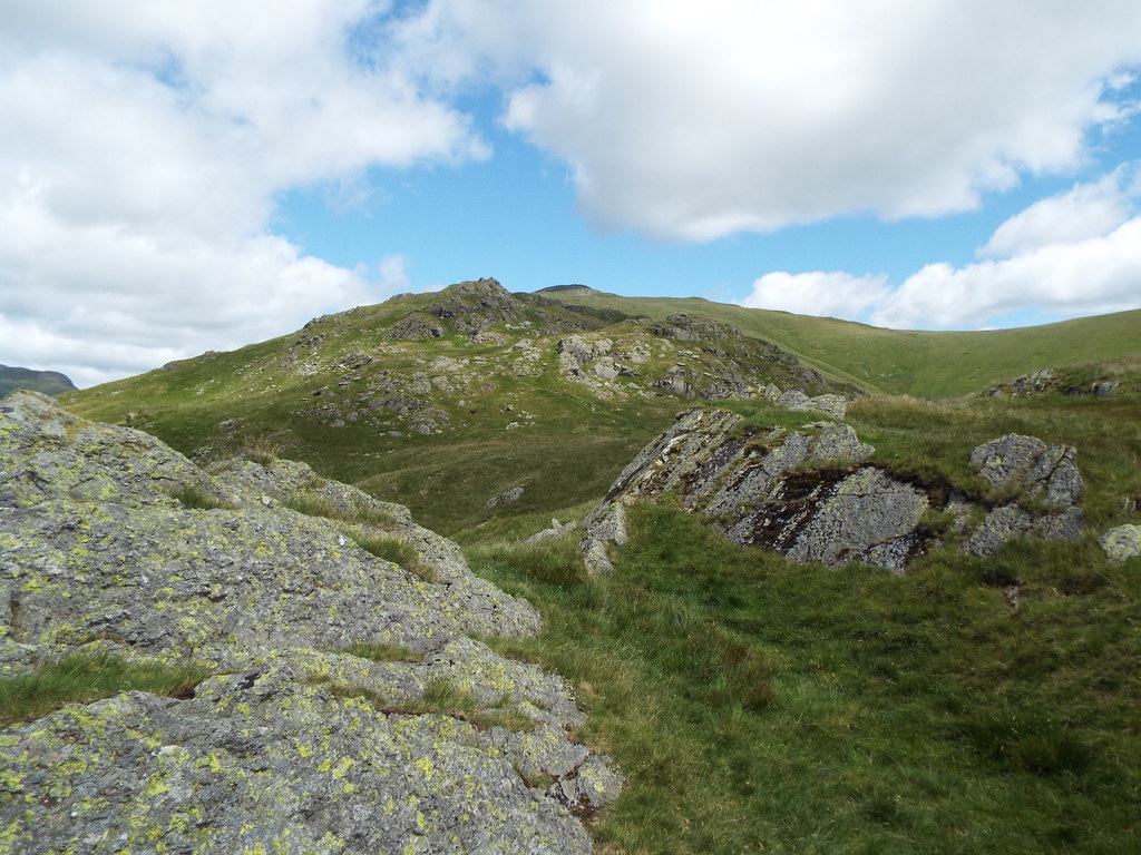
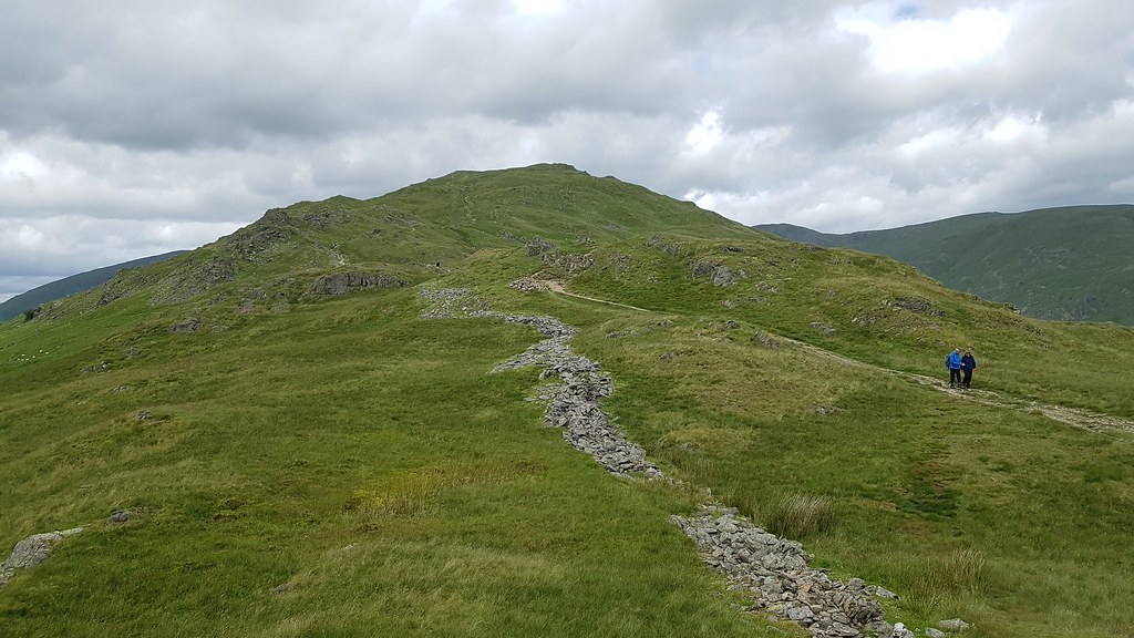
The final summit section of Great Rig is a choice of nice scrambly rocky paths, mountain goat back in it's element again:

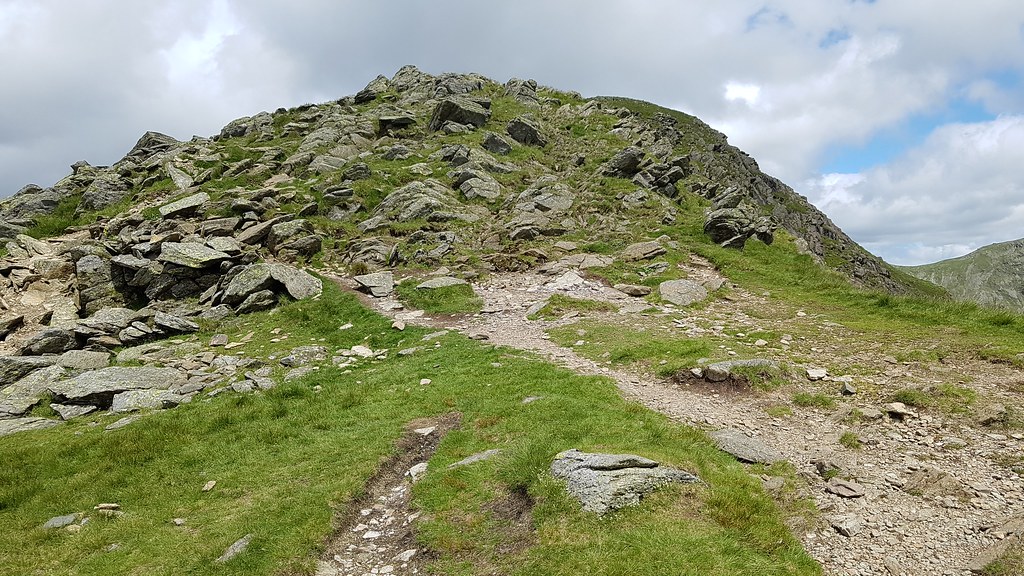 20170625_130004
 by
Chris Mac, on Flickr
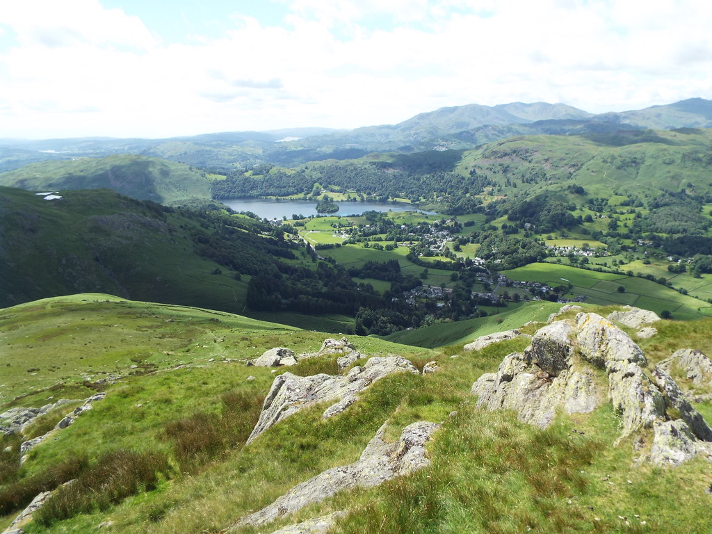
Rydal Beck, Ambleside and Windermere:
 20170625_130016
 by
Chris Mac, on Flickr
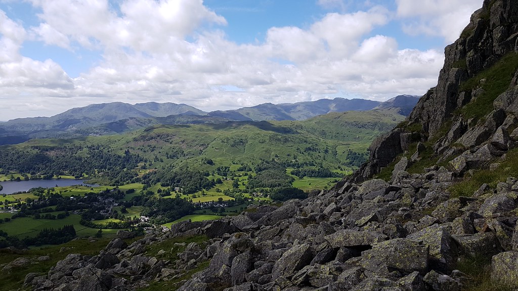
Ambleside, Windermere and Morecambe Bay in the distance:
 20170625_130400 DSCF0705
 by
Chris Mac, on Flickr
Approaching Great Rig summit, Fairfield behind it, to the far left is Striding Edge and Catstye Cam:
 20170625_130717
 by
Chris Mac, on Flickr
 20170625_131000 DSCF0710
 by
Chris Mac, on Flickr
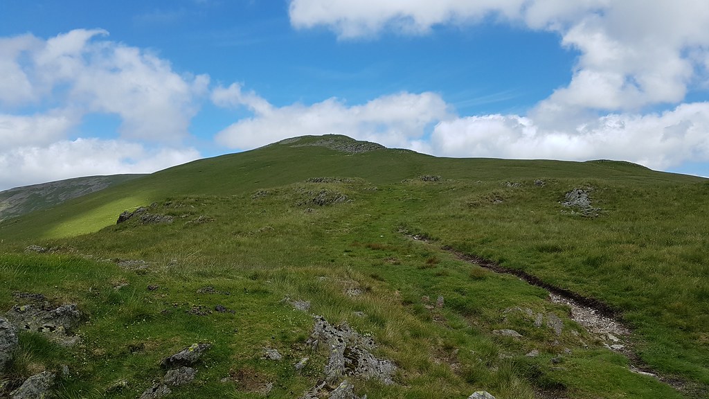
Easy going from here on out:
 20170625_131100 DSCF0718
 by
Chris Mac, on Flickr
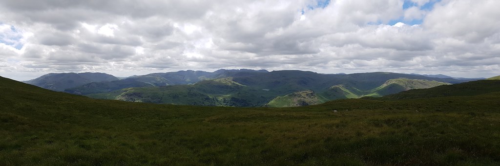
Coniston Water, Grasmere and the Old Man of Coniston:
 20170625_131101 DSCF0719
 by
Chris Mac, on Flickr
As I wait for a certain someone to catch up I snap away in zoom mode, spotting the edge of Skiddaw to the north, behind Dollywagon Pike:
 20170625_131400 DSCF0721
 by
Chris Mac, on Flickr
Mighty Helvellyn, with Striding Edge ridge going off to the right:
 20170625_131600 DSCF0725
 by
Chris Mac, on Flickr
At last...

 20170625_131700 DSCF0726
 by
Chris Mac, on Flickr
Local peaks:
 20170625_131701 DSCF0728
 by
Chris Mac, on Flickr
Jaggy summit:
 20170625_131800 DSCF0729
 by
Chris Mac, on Flickr
Popular summit:
 20170625_131802 DSCF0731
 by
Chris Mac, on Flickr
Catstye Cam in the background and Striding Edge with people to scale, looking like an outstanding ridge walk that wouldn't look out of place anywhere in Scotland:
 20170625_131803 DSCF0732
 by
Chris Mac, on Flickr
This has definitely made me want to climb Helvellyn even more...
 20170625_131804 DSCF0733
 by
Chris Mac, on Flickr
Leaving future hiking dreams for now, it's back to the view at hand which to the south is about as nice as you can get:
 20170625_132413
 by
Chris Mac, on Flickr
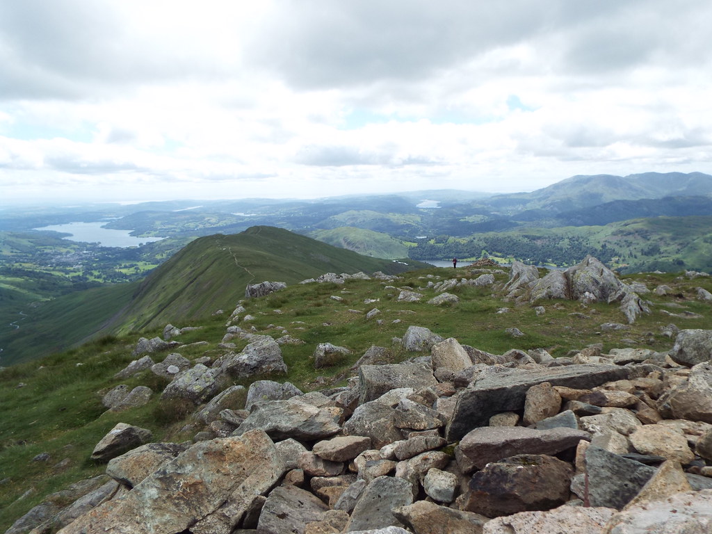
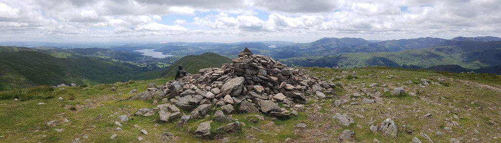
Great Rig summit, up to 8 now:
 20170625_132600 DSCF0738
 by
Chris Mac, on Flickr
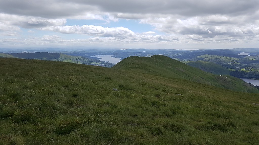
Windermere, Heron Pike North Top and Heron Pike, we'll soon be heading that way:
 20170625_132700 DSCF0740
 by
Chris Mac, on Flickr
 20170625_134600 DSCF0748
 by
Chris Mac, on Flickr
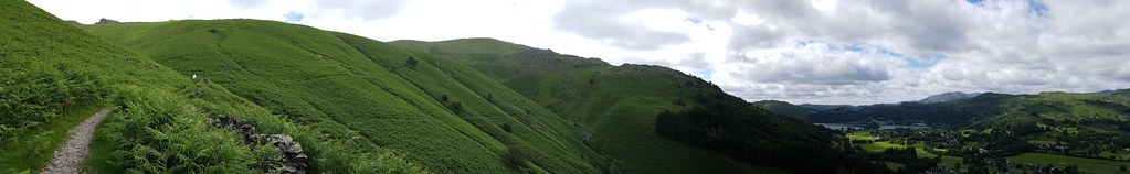
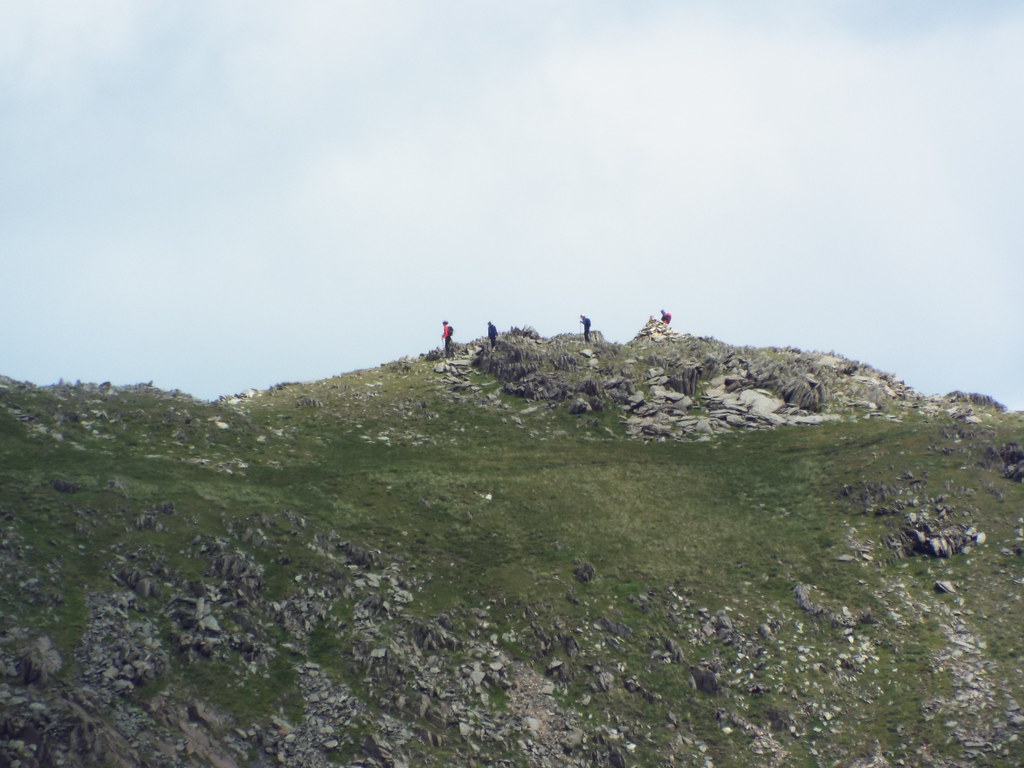
Refreshed and after enjoying a chat with the two older walkers at the summit, we set off for the easy ridge stroll to the final 2 and a half targets of the day, Heron Pike North Top not being a Wainwright but it is a Nuttall and a Birkett:
 20170625_134930
 by
Chris Mac, on Flickr
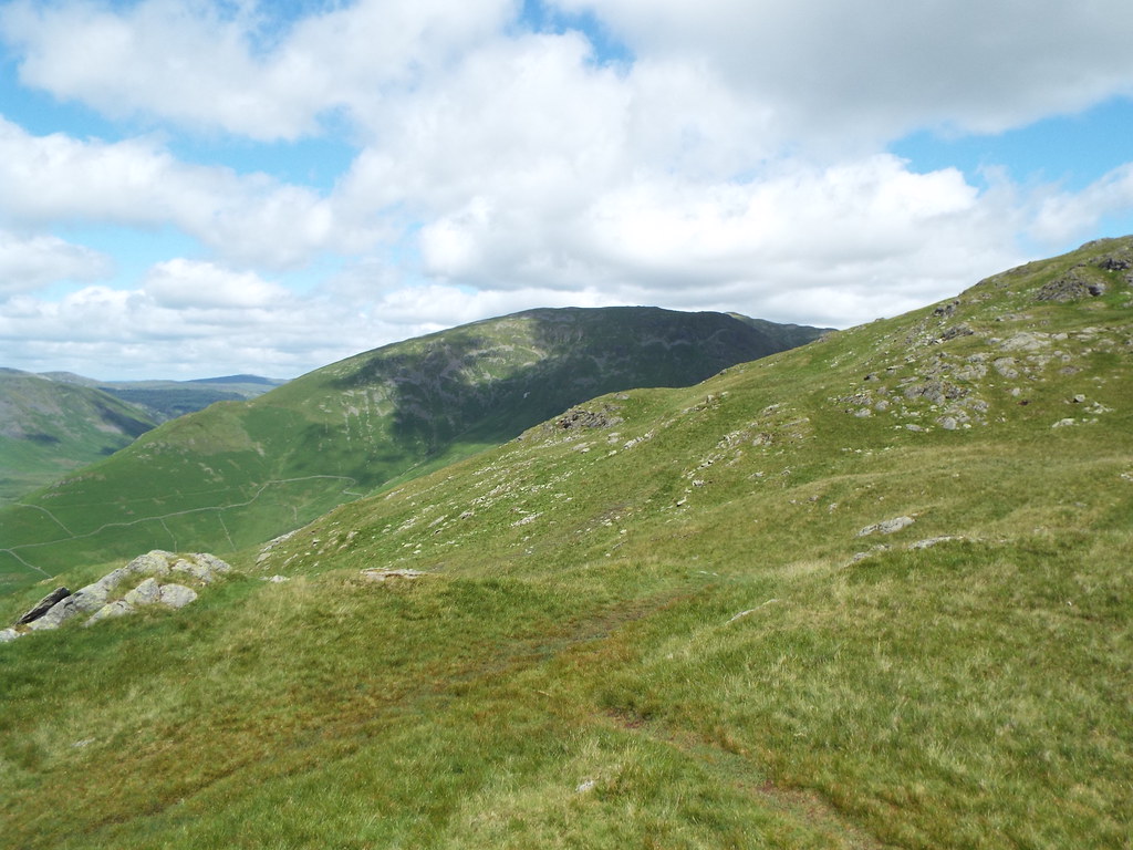
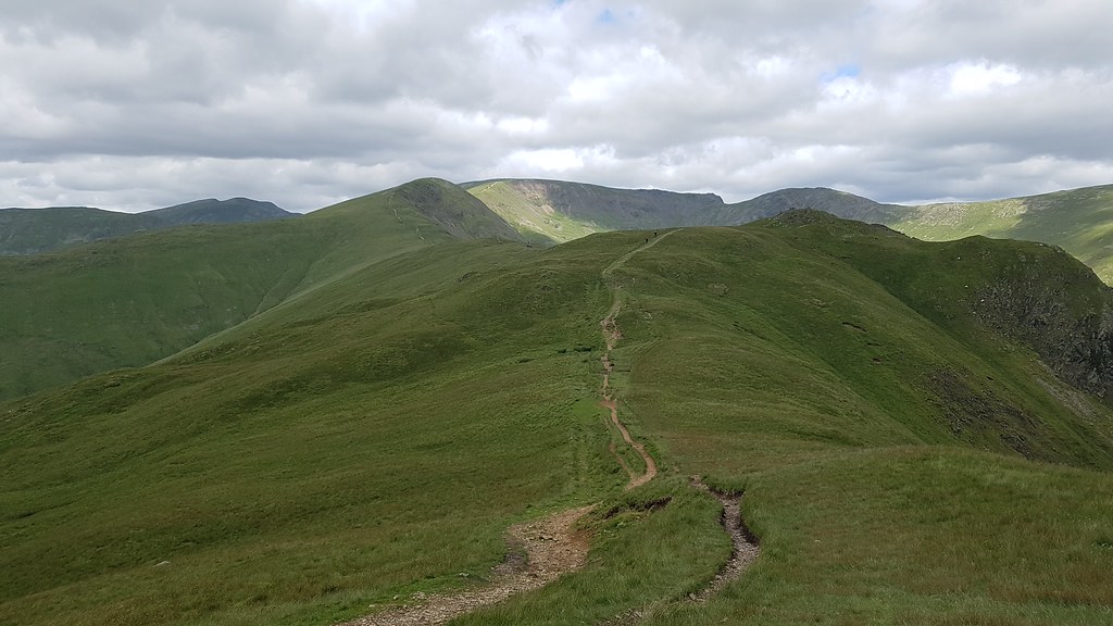
Looking back to Great Rig, Fairfield and Hart Crag:
 20170625_135420
 by
Chris Mac, on Flickr
As we follow the path south, on the right are the Langdale Pikes with Scafell's behind, another area of the Cumbrian Mountains i'm looking forward to exploring on a future visit:
 20170625_140529
 by
Chris Mac, on Flickr
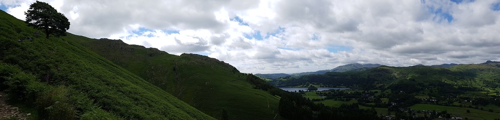
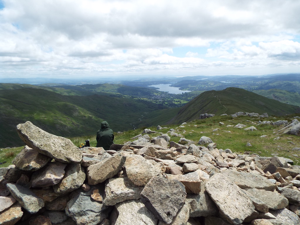
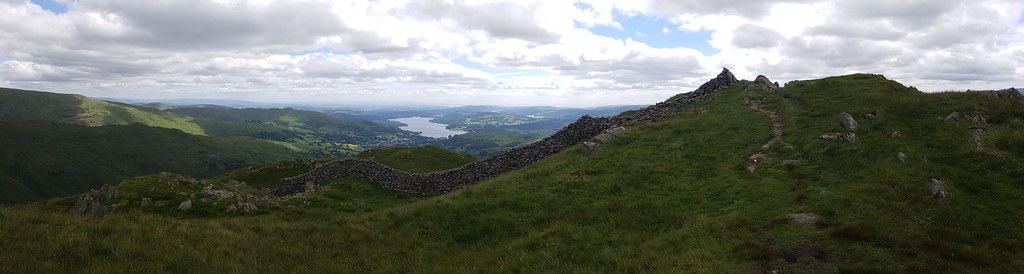
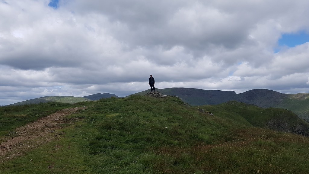
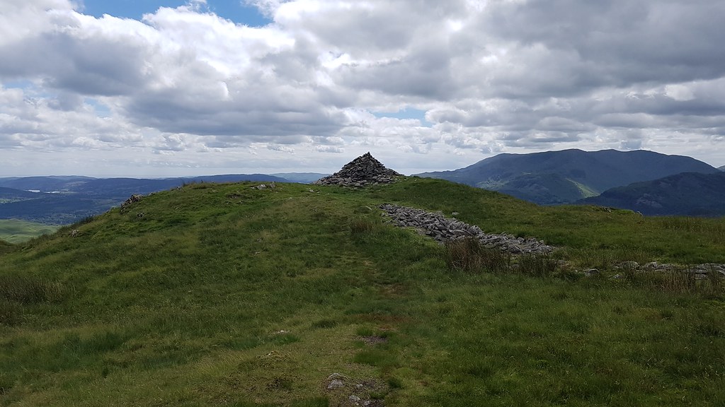
I reach Heron Pike North Top, also known as Rydal Fell, as Y takes the bypass and misses out on this nice panorama of the summit wall feature:
 20170625_140721
 by
Chris Mac, on Flickr
It was actually clear enough to just make out Blackpool Tower in the distance when zoomed in fully!
 20170625_140806
 by
Chris Mac, on Flickr
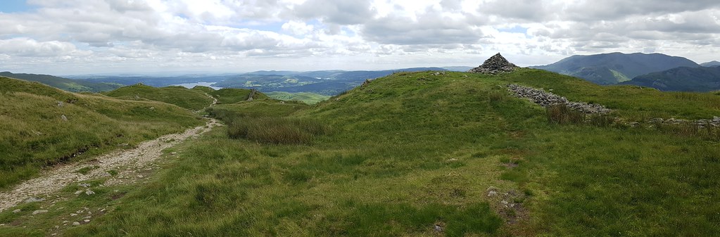
Heron Pike and Y up ahead, Old Man of Coniston back right:
 20170625_140809
 by
Chris Mac, on Flickr
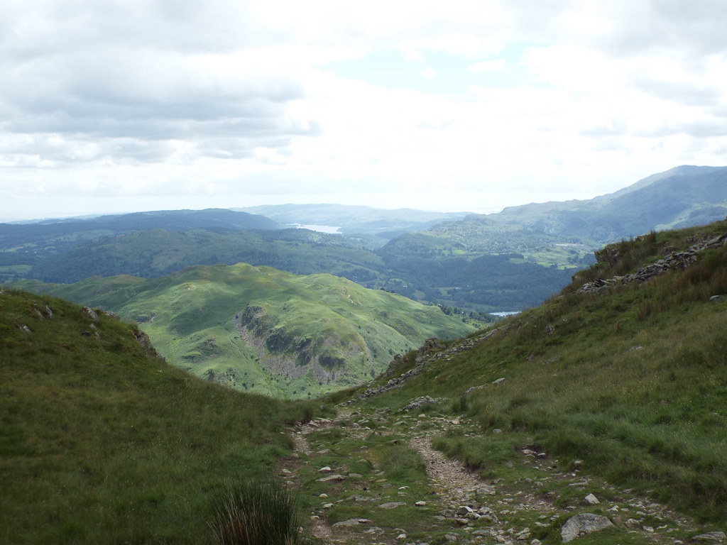
The trodden path behind us, the full horseshoe must be a fun walk, will have to do that another day:
 20170625_141302
 by
Chris Mac, on Flickr
Heron Pike and a quick summit pose:
 20170625_141559
 by
Chris Mac, on Flickr
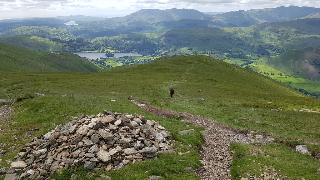
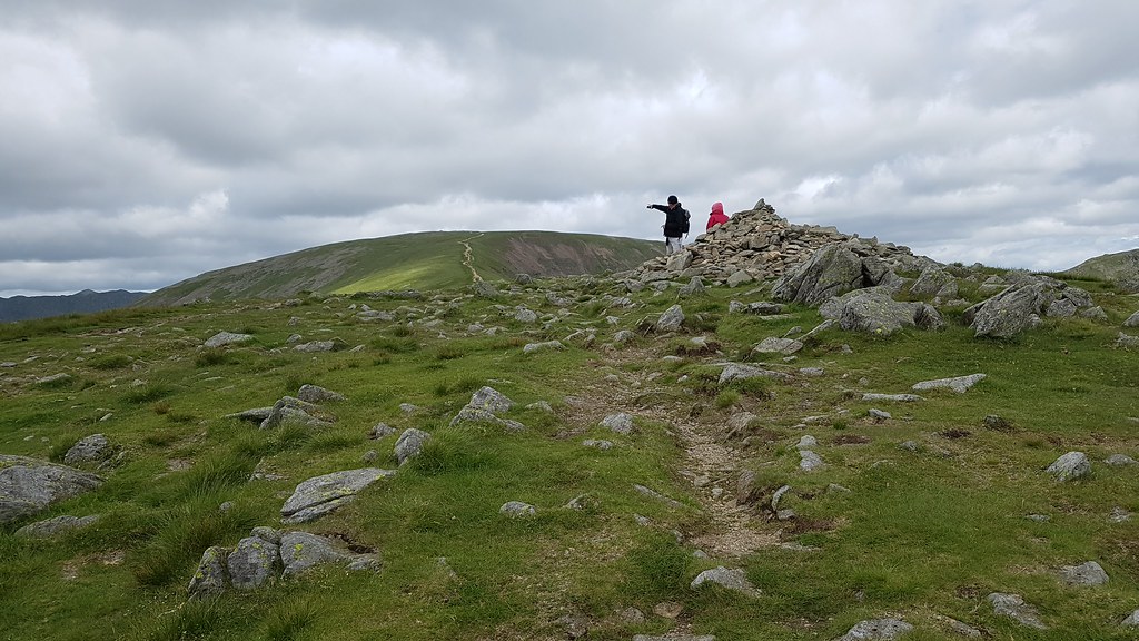
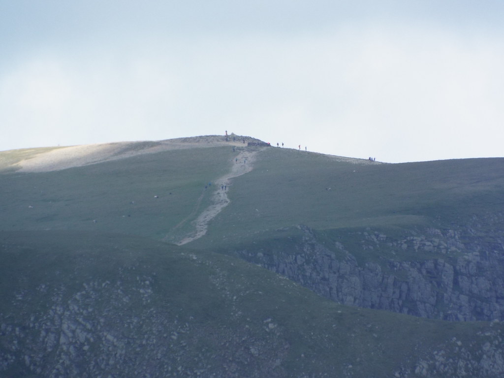
The path now takes a steep dive south and slightly east towards Nab Scar, which is a strange Wainwright being just a cairn on a rocky feature down the end of the Heron Pike Hillside, which is really just a part of the larger Great Rig, which is just a top of Fairfield.... which would be a big meaty Corbett + tops in Scotland. Wainwright certainly wasn't one for prominence!
 20170625_141815
 by
Chris Mac, on Flickr
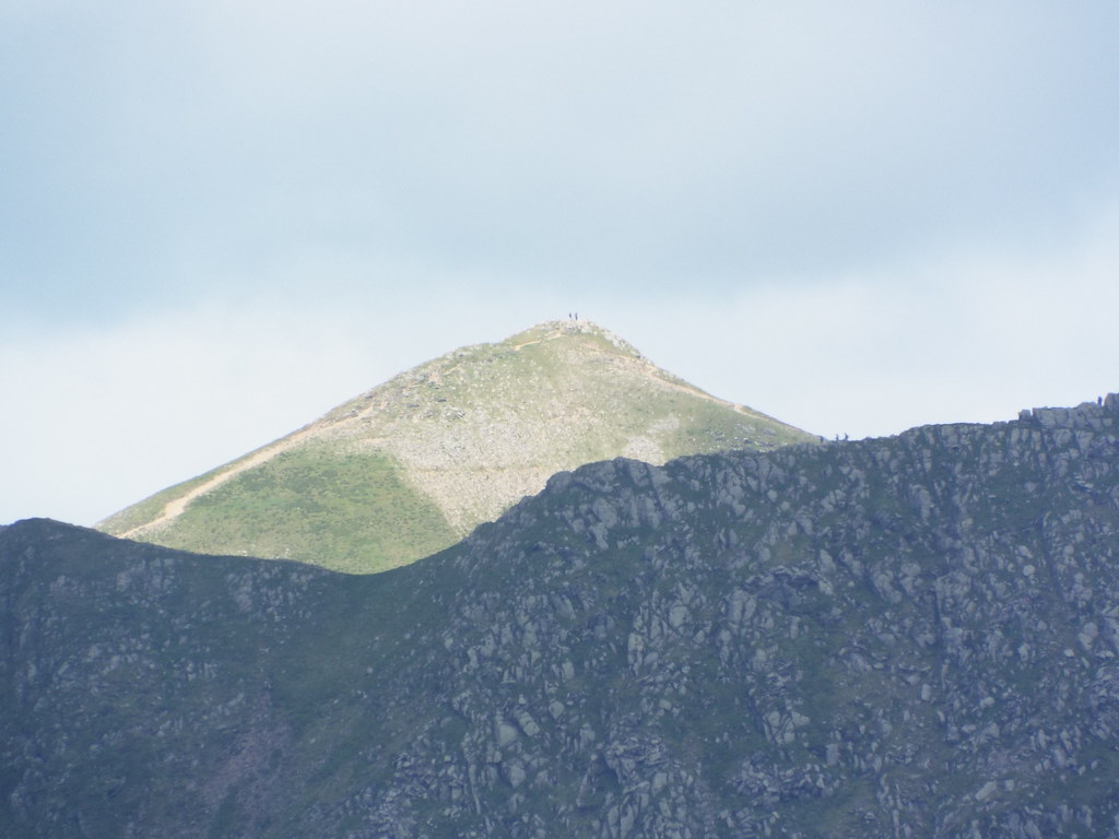
There are several paths to chose from and at this point Y was a little fatigued so we agreed that I would head further along to bag Nab Scar and Wainwright number 10 while she would cut right earlier to head down to Alcock Tarn to wait for me catching up.
 20170625_142646
 by
Chris Mac, on Flickr
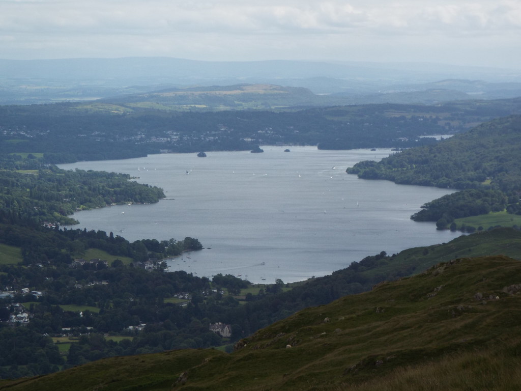
Closer to Windermere now, looking a lot smaller than it actually is from the north, side on views from Sour Howes yesterday show just how long it is:
 20170625_143500 DSCF0768
 by
Chris Mac, on Flickr
Not quite as dramatic a drop beyond is it looks here:
 20170625_143600 DSCF0770
 by
Chris Mac, on Flickr
Further down Y takes the path right and I continue on the Nab Scar "summit" cairn...
 20170625_144239
 by
Chris Mac, on Flickr
 20170625_144247
 by
Chris Mac, on Flickr
Success and mission accomplished:
 20170625_144329
 by
Chris Mac, on Flickr
Looking back, up Heron Pike, the path down to Alcock Tarn is just left of Lord Crag:
 20170625_144342
 by
Chris Mac, on Flickr
 20170625_145234
 by
Chris Mac, on Flickr
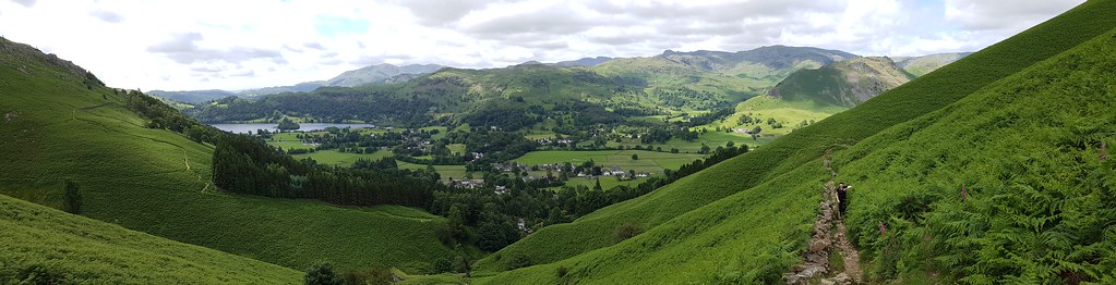
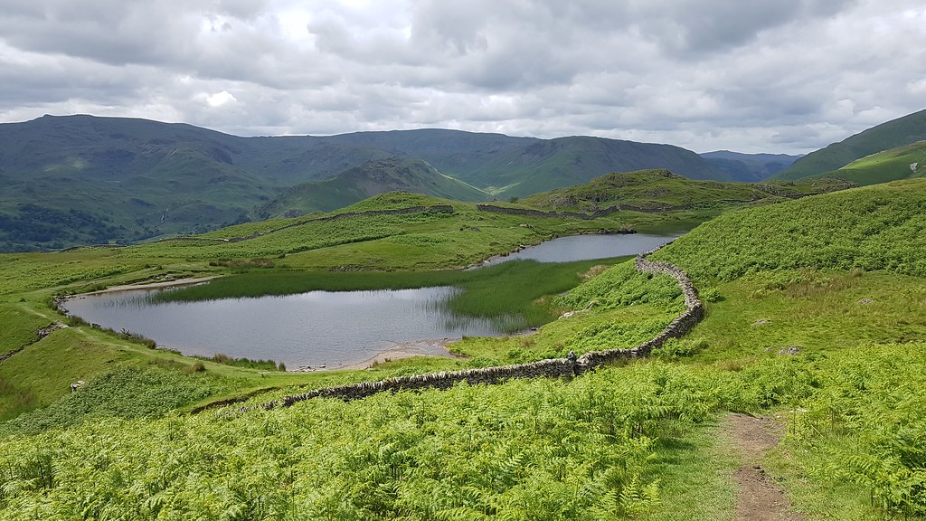
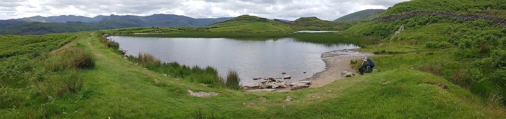
In no time at all Alcock Tarn is in view, with distant Helm Crag looking tiny:
 20170625_145623
 by
Chris Mac, on Flickr
Langdale Pikes and Alcock Tarn:
 20170625_145910
 by
Chris Mac, on Flickr
Definitely on the to-do list!
 20170625_150300 DSCF0779
 by
Chris Mac, on Flickr
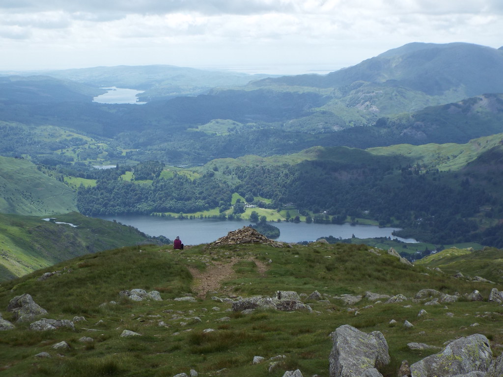
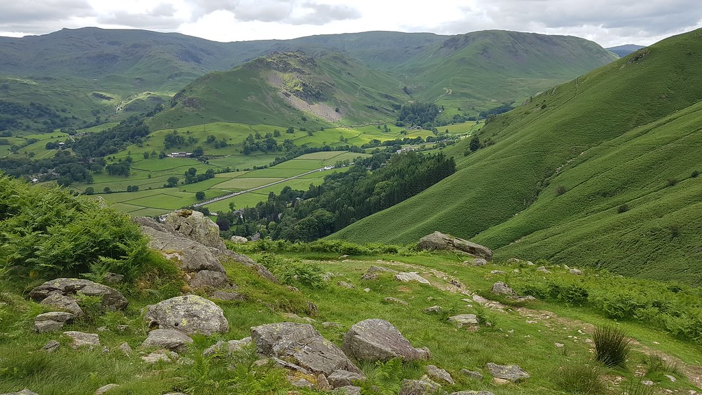
A nice view across the Tarn to Stone Arthur and Great Rigg, it's been a cracking wee walk with a bit of everything and brilliant views:
 20170625_150614
 by
Chris Mac, on Flickr
We continue on...
 20170625_150802
 by
Chris Mac, on Flickr
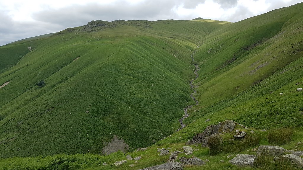
Greenhead Gill leading up to Great Rig:
 20170625_151545
 by
Chris Mac, on Flickr
Helm Crag and the final steep section of path back to the Swan Hotel:
 20170625_151553
 by
Chris Mac, on Flickr
It looks steep but was easy going:
 20170625_151809
 by
Chris Mac, on Flickr
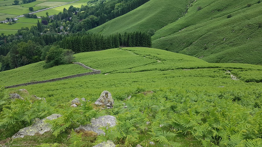
Looking across at the start of the walk, almost full loop now:
 20170625_152418
 by
Chris Mac, on Flickr
Helm Crag, small, but I like it:
 20170625_152822
 by
Chris Mac, on Flickr
 20170625_153250
 by
Chris Mac, on Flickr
We stop at the bottom of the path for a rest on Tim Oldfield's bench which is great as you feel like a kid again due to your feet not touching the ground and being able to swing them!
 20170625_153509
 by
Chris Mac, on Flickr
A final look back to Stone Arthur:
 20170625_153546
 by
Chris Mac, on Flickr
Stream crossing time, easy peesy, even Y managed no bother and she's a fearty when it comes to crossing fences and water!

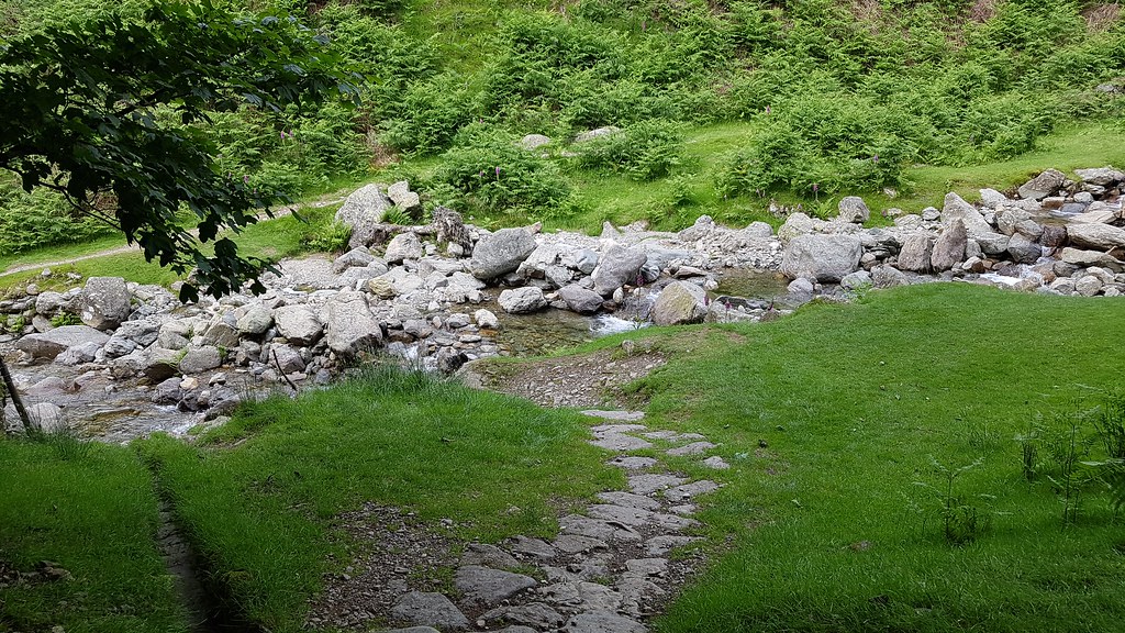 20170625_154317
 by
Chris Mac, on Flickr
We reach tarmac again, turn left...
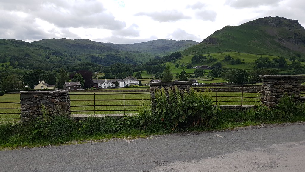 20170625_155233
 by
Chris Mac, on Flickr
Left again at the Hotel and follow the main road back to the lay-by car park:
 20170625_155715
 by
Chris Mac, on Flickr
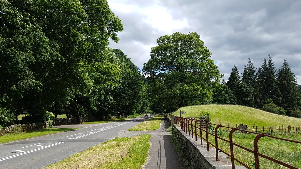
Enjoy the view as you do...
 20170625_155719
 by
Chris Mac, on Flickr
After reaching the car we concluded that it was a perfect day out and I had chosen well, now the difficult part was next, where to go for belly refuelling in Grasmere?!

We parked up and wandered about but it was between lunch and dinner time, luckily 1769 was open and a quality Fish 'n Chips and Steak Pie provided enough fuel for the drive back to Scotland.
So visit number 3 to Lake Land was another winner as we got to take in a new and unexplored section and see new parts for exploring in future. On the drive back it made sense to go straight north towards Keswick then home via Penrith and I was so glad we did this as the drive from Grasmere on the A591 then B5322 Threlkeld was a definite highlight and reminded me of Scotland, with long, empty Thirlmere surrounded by steep sided hills and the giants Skiddaw and Blencathra filling up the view ahead, it blew me away!
As always the people of Cumbria were very friendly and the food was top notch, see you again at some point next year... cheers!
