free to be able to rate and comment on reports (as well as access 1:25000 mapping).
Kintail this weekend - in pursuance of SK's Tops with some Marilyn action thrown in. Fortunately my left knee has recovered from the bashing it got in Assynt last Sunday and is working normally - albeit coloured an unbecoming yellowish as the bruise develops. Although the forecast seemed better in the East I wanted West, plus I have diminishing faith in forecasts these days. Met Office and Yr.no suggested a wet weekend with Friday the best of a bad lot - ach well. I would get the chance to put into place a route that's been on the drawing board for some years - in fact ever since we had to foreshorten the Mullardoch Round and miss out Dheiragain & Ceathreamhnan. An approach from Iron Lodge as a circuit appealed and - with SK needing the Tops on both Munros - here was a chance to try it out. Plus completing the entire north ridge of Ceathreamhnan adds on two Simms, plus a sneaky Marilyn on the return to Carnach.
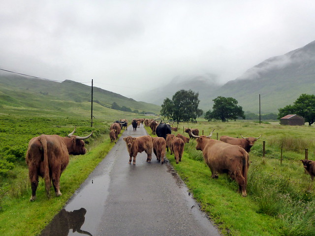
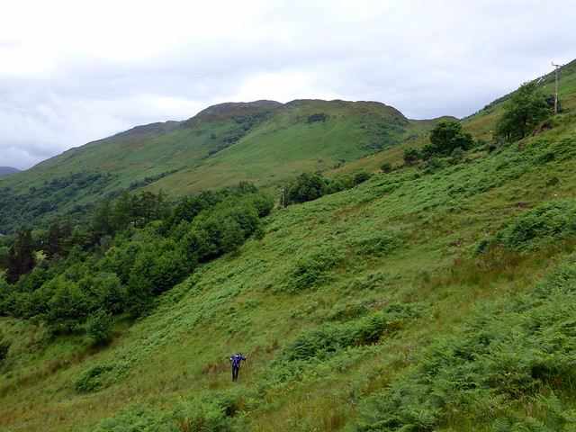
We drove up on a wet and misty Thursday evening, having decided to pitch at Shiel Bridge rather than start the walk in down Glen Elchaig in the rain. All a bit soggy underfoot, not helped by a lot more rain overnight. Drove round to Killilan and parked at the start of the immaculately presented Inverinate Estate, setting off in mist and smirr with the hope that it would brighten later. A very jolly chap at the farm asked us if the rain was going to stay off for us. We thought not. The River Elchaig looked full and fast flowing as we marched along the track. We've been down here quite a few times now, always for lengthy outings and usually eaten alive by midges at some point. Today there was enough breeze to keep them at bay. We passed through a large herd of docile coos (with Mr Bull right in the midst of them), walked alongside Loch na Leitreach then Carnach and onto Iron Lodge. Last time we'd been here was to do the Grahams Breabaig and An Cruachan - we followed the same zigzag track up the slopes of Breabaig but continued round the hillside this time.
 P1160295
 by
Al, on Flickr
 P1160296
 by
Al, on Flickr
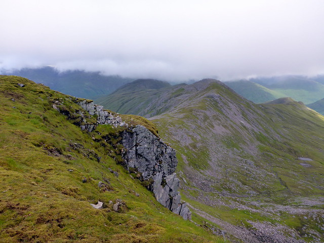
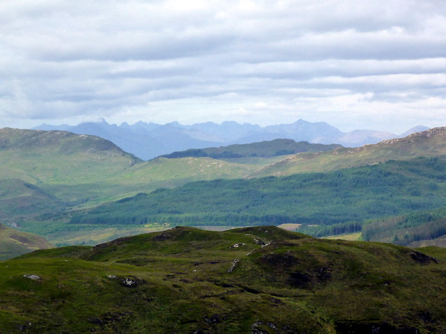
Sgurr na creige
 P1160297
 by
Al, on Flickr
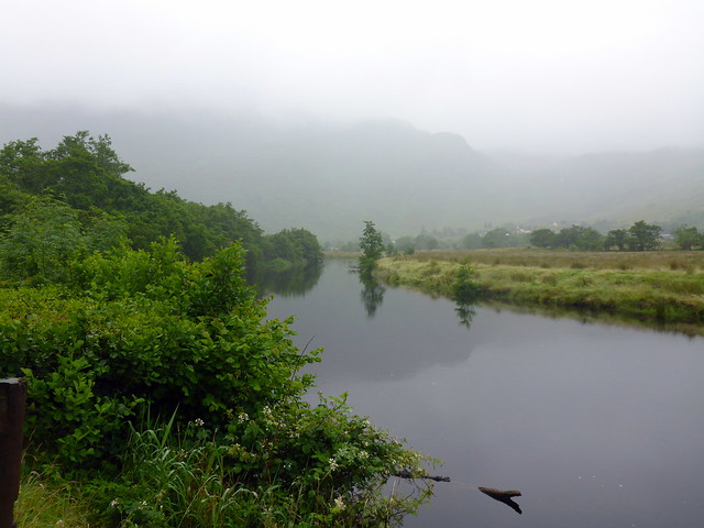
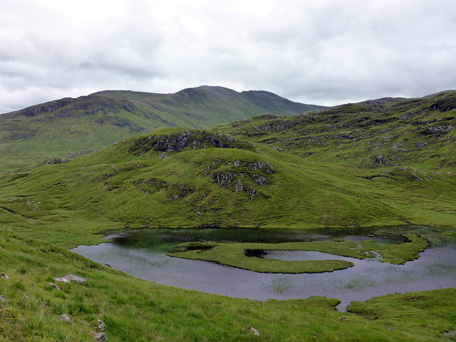
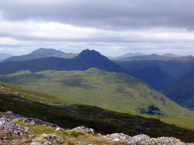
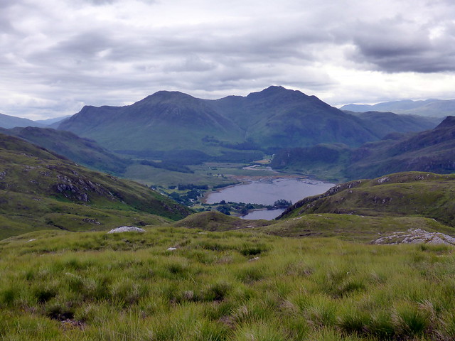
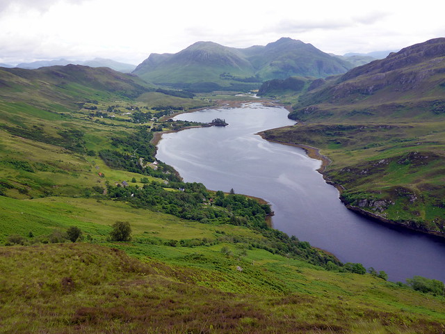
View back down Glen Elchaig
 P1160299
 by
Al, on Flickr
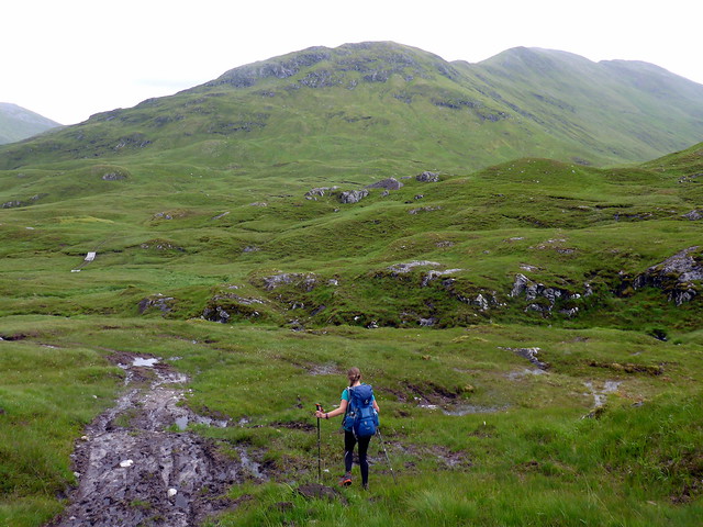
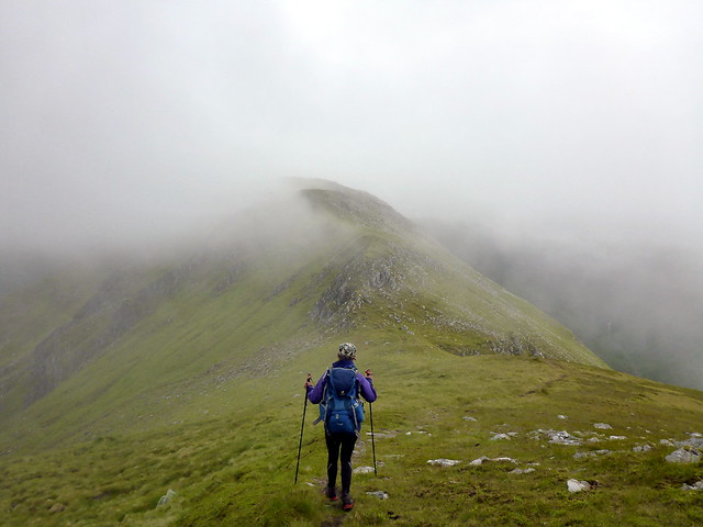
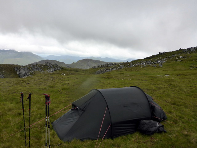
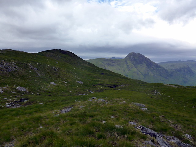
Ahead of us we could see the long flank of Dheiragain sloping to the right with Beinn Fhionnlaidh behind. The path became boggier but there were duckboards over the several river crossings, which was helpful given the fullness of the streams today. The direct approach up the west flank of Creag a'Choir' Aird was selected and uneventfully climbed, following a grassy rake most of the way. Onto the broad ridge - we met a couple of guys hiking in wellies who had cycled by us earlier on the track. Footwear to think about for some of the hills we do, certainly. Onto the first Top of Mullach Sithidh and over the Munro summit, views down to Loch Mullardoch to our left. By this time it was after 4pm. I had intended to camp high - previous experience suggested we either camp around Carn a Con Dhu or between the third and fourth Top on Ceathreamhnan as there was little option between these points, the ridge being too narrow/stony. My preference had been to head round to Ceathreamhnan today but it was starting to rain and the wind was getting up, blowing right across the ridge from the south west - made sense to stop on Carn a Con Dhu where there was shelter and flat ground. So we did just that, had our tea of delightful dried rations and settled down to pass the night. Not much of a view from the spot we'd chosen. The night passed with intermittent rain and even some early morning beams of sunshine.
Dheiragain
 P1160302
 by
Al, on Flickr
 P1160303
 by
Al, on Flickr
Glad there were duckboards over the streams
 P1160304
 by
Al, on Flickr
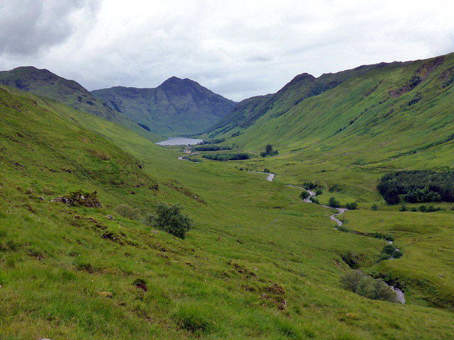
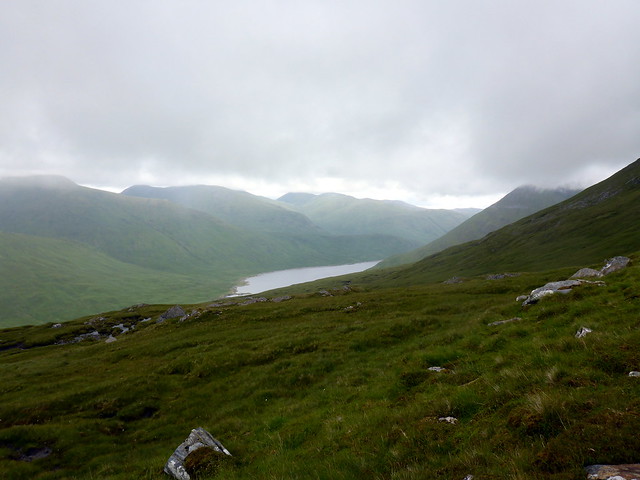
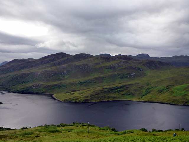
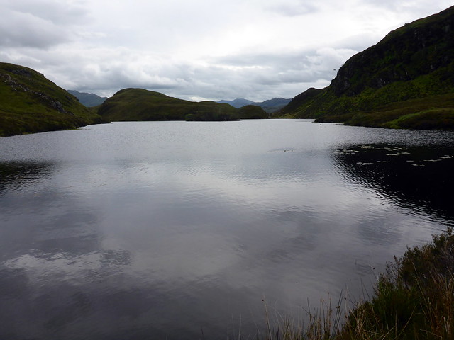
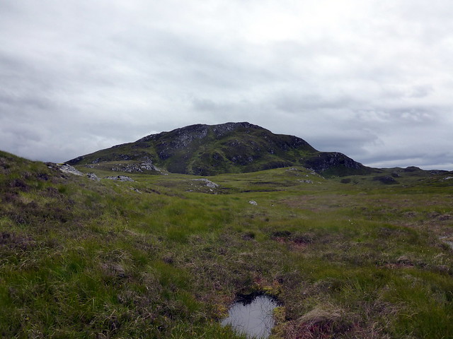
Loch Mullardoch
 P1160307
 by
Al, on Flickr
 P1160309
 by
Al, on Flickr
campspot on Carn a Con Dhu
 P1160312
 by
Al, on Flickr
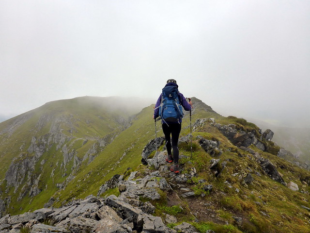
Packed away an almost dry tent (thankfully) and set off on what looked like a reasonable morning - some mist coming and going on the summits but plenty of hills visible in the distance. Up the steep part of the ridge to the summit of Ceathreamhnan, remembering that it was, at one time, going to be my compleation Munro, before a more fitting candidate took over. Onwards to the West Top then down the spine to complete the 4 Tops on this one ridge. I kept thinking back to when I did these tops myself, from a campspot around Carn a Con Dhu after walking in over the four northern Mullardoch hills, heading out then back to my tent - the final top, Stuc Fraoch Coire being a particular pig as it seemed so far from the third Top. Today however we were only going one way

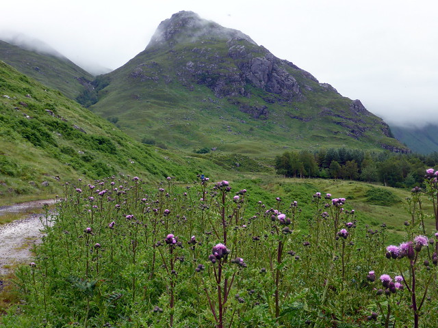
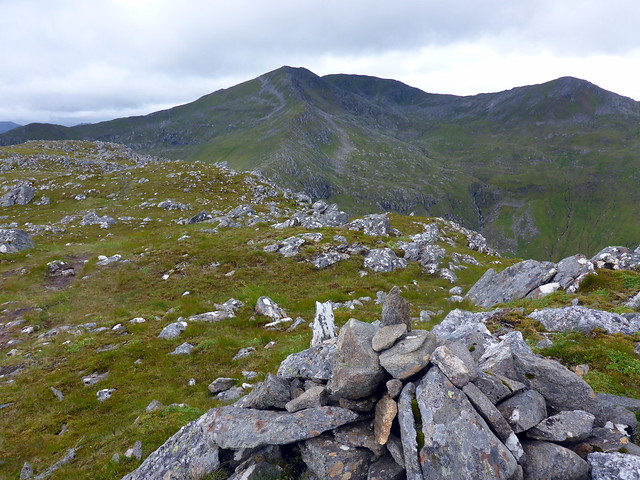
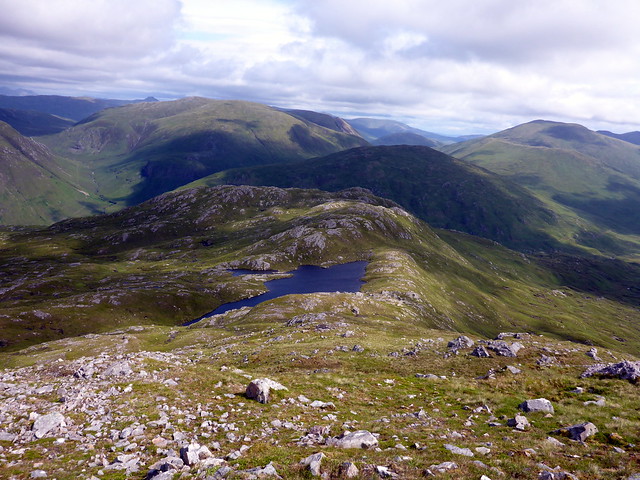
After Fraoch Coire we continued onwards to Creag Ghlas at 856m then skirted around Loch Sgurr na h-Eige to climb the eponymous Simm at 657m where we stopped for lunch. Some fine moody views of the surrounding ranges - Strathfarrar, Mullardoch etc. And that special Graham, Carn Cruithneachd, one of the the most impressive/daunting Grahams. But more of that later.
Ceathreamhnan
 P1160314
 by
Al, on Flickr
To the West Top
 P1160316
 by
Al, on Flickr
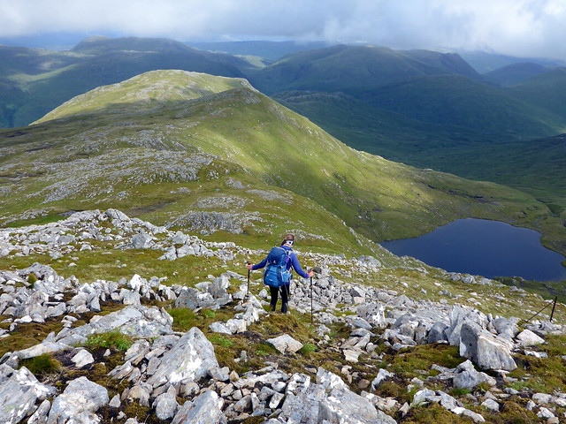
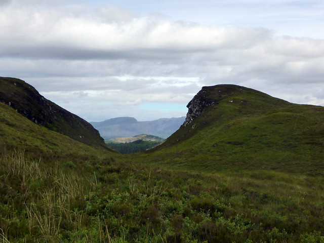
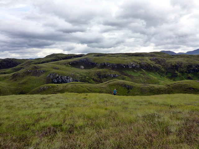
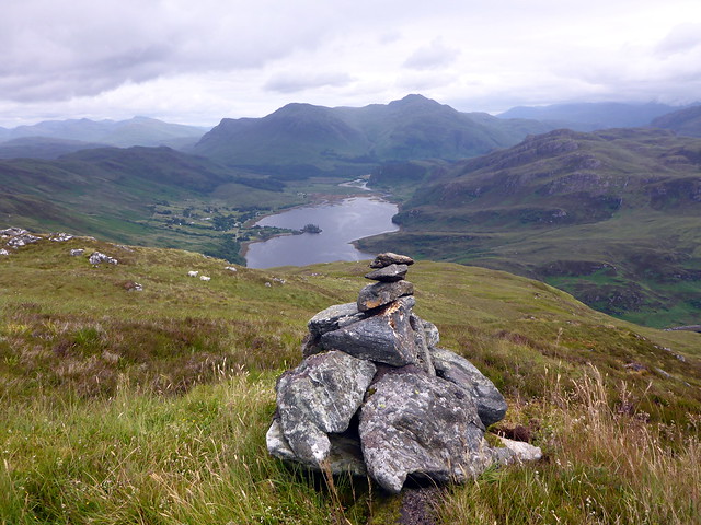
Long northern ridge of Ceathreamhnan
 P1160318
 by
Al, on Flickr
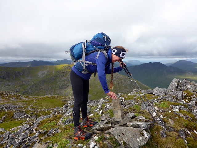
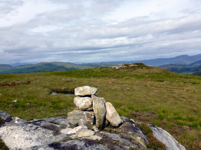
cairn construction
 P1160321
 by
Al, on Flickr
 P1160322
 by
Al, on Flickr
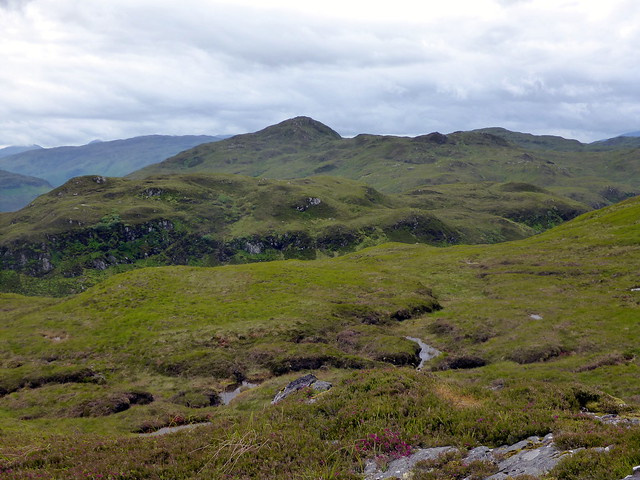
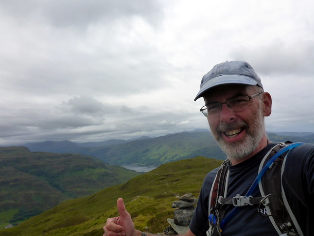
To Sgurr na h-Eige
 P1160326
 by
Al, on Flickr
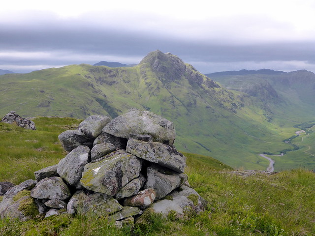
Carn Cruithneachd takes centre stage
 P1160329
 by
Al, on Flickr
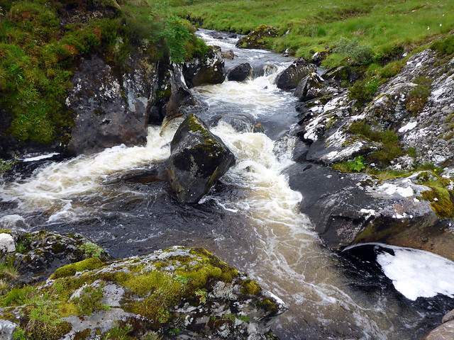
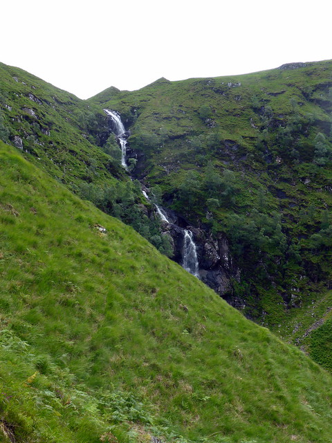
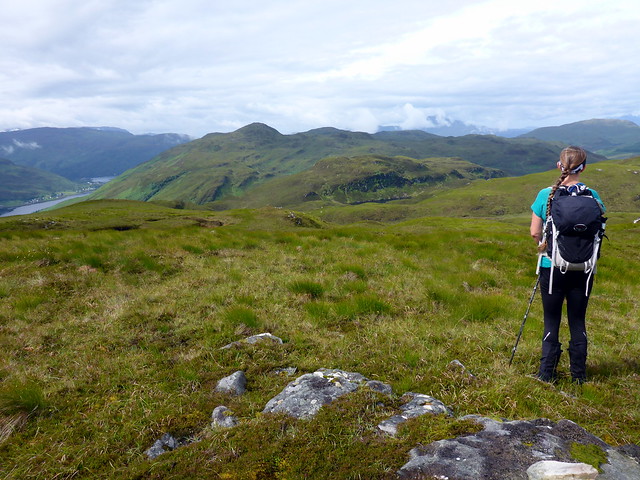
From here we descended westwards aiming to join a track that would take us back to Carnach by means of Coire Easach. I hoped to tag on the Marilyn of Meall Sguman but this depended on how easy it was to cross the Allt Coire Easach - I'd looked at the waterfall coming from it as we walked up the track the day before and thought it might be tricky. However it was fine and the Marilyn was easily attained - we left our packs down by hte river and had the bliss of being unladed during our ascent. The summit provides a fine view of Carn Cruithneachd - well do I remember scrambling up the steep walls of Coire an Uinnsinn to climb it last year. We returned to our packs and joined the stalkers path to Carnach, enjoying the watrerfalls.
Meall Sguman (to L of Cruithneachd)
 P1160331
 by
Al, on Flickr
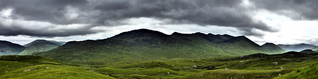
Pano of Ceathreamhnan's ridge
 P1160332
 by
Al, on Flickr
Summit Sguman
 P1160333
 by
Al, on Flickr
 P1160334
 by
Al, on Flickr
Waterfall, Coire Easach
 P1160336
 by
Al, on Flickr
 P1160339
 by
Al, on Flickr
Back on the track it was simply a matter of walking the 10k back to the car now. My feet were a bit sore - a blister on the sole of my left foot was an unaccustomed irritant. We were both very hungry but aware there was plenty of food in the car. Where to put the tent, that was the question. As we were planning on setting out from Sallachy the next morning I didn't want to drive back to Sheil Bridge or Morvich - in the end we pitched in a fallow field just beside the car-parking at Killilan. I wasn't sure if this would be frowned upon by the estate, but we were as discreet as possible and planned to leave before 8 the next morning.
It rained from the moment we got the tent up (around 5pm) and continued unabated through the night til 5am. Although I don't find the noise of rain on the tent troublesome (unless it's so hard it threatens to gain entry), neither do I find it soporific. The irregular staccato nature of the rain tends to keep me awake - as opposed to the rhythmic lapping of the sea or the gushing burble of a river. I was also kept awake by the unexpected presence of a small bumble bee in the sleeping bag as I went to lie down. Heaven knows where that came from. After capture and release back to its own element I kept thinking that any itch I had might be another bee - not something to assist sleep I can tell you

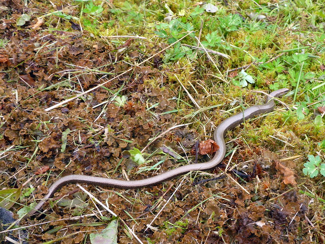
After all the overnight rain it was a surprise to find a reasonable morning awaited us. Up at 7 and packed up to go before 8 as planned, Allison noticed a slow worm by the parking area. Drove the short distance to Allt na Subh and parked in a layby with little idea of how we'd get from the road to the hillside other than forcing our way through dense bushes. We were able to clamber up and over a fence beside the house we'd parked at and begin a steep climb towards Creag Mhor. The bracken had retained all the water from last night's rain so trousers were soon sopping, despite gaiters. We came to a craggy section then up to what we took for the summit, with a "cairn" of one stone. Keen to get on with the trek to Conchra we headed off - but something didn't look right on the GPS (no map for this hill as it falls between about 3 different OS50000 maps) - I then spotted that we hadn't reached the summit at all - it was another 500m or so to the north
SK was mightily impressed to have to backtrack.
Slow worm
 P1160341
 by
Al, on Flickr
 P1160342
 by
Al, on Flickr
Beinn Mheadhoin across the loch
 P1160344
 by
Al, on Flickr
 P1160346
 by
Al, on Flickr
Towards Beinn Conchra
 P1160348
 by
Al, on Flickr
Skye
 P1160350
 by
Al, on Flickr
(Proper) summit Creag Mhor
 P1160352
 by
Al, on Flickr
Good views towards Torridon and Skye - the Kylerhea hills in particular standing out. We set off across undulating terrain for the distant heights of Conchra - before we set off I had reckoned that we'd be done in about 3 hours - how wrong was i about to be! A succession of drops and climbs in soft mossy/tussocky ground that SK described as "wading knee deep through syrup sponge" proved draining and progress took much longer than anticipated. Allison's back does not like such foliage and she was cursing the general idea of Marilyns - I was finding it tough going myself. I had thought that Grahams were harder than Munros - was i about to find that Sub 2k Marilyns were going to be harder than Grahams???
 P1160353
 by
Al, on Flickr
It's a long way to Conchra
 P1160354
 by
Al, on Flickr
Endless ups and downs
 P1160355
 by
Al, on Flickr
Feet in Syrup Sponge
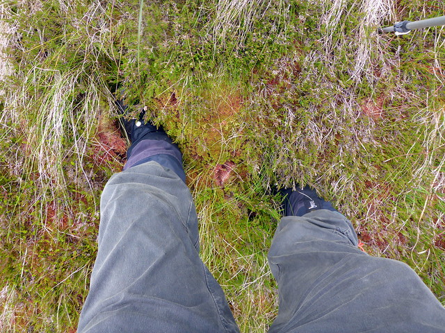 P1160363
 by
Al, on Flickr
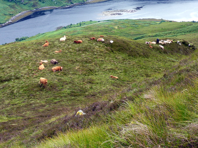
We rounded Loch Thollaidh- a lovely hidden spot and set off up again, down again, over a deer fence into some new native tree plantings before we finally reached the spine of Conchra. My 50th Sub - yeah! Descent was along the eastern shoulder, passing some cows grazing in high pasture then a steep section to the road through bracken and gorse. If you wished an easy ascent of this pair, it might be simpler to do them individually, although I rather enjoyed the untrodden landscape.
Loch Thollaidh
 P1160357
 by
Al, on Flickr
 P1160359
 by
Al, on Flickr
 P1160360
 by
Al, on Flickr
View to Morvich
 P1160361
 by
Al, on Flickr
nearing summit Conchra
 P1160362
 by
Al, on Flickr
My 50th Sub 2K (might be my last if Allison has her way!)
 P1160364
 by
Al, on Flickr
 P1160365
 by
Al, on Flickr
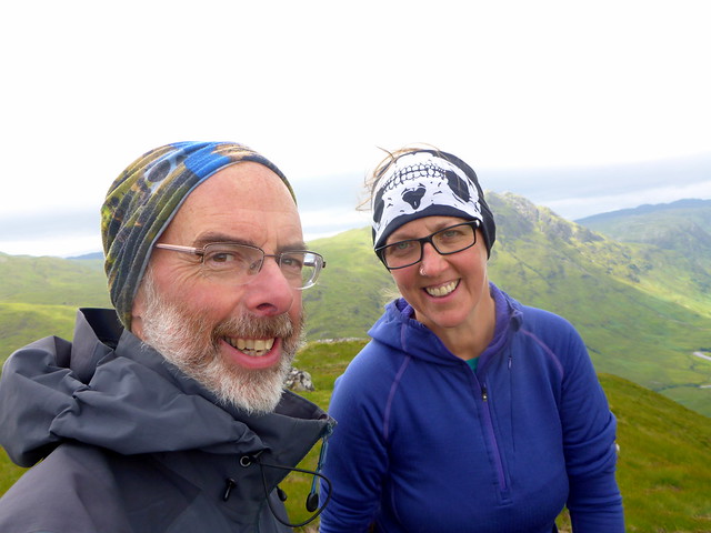
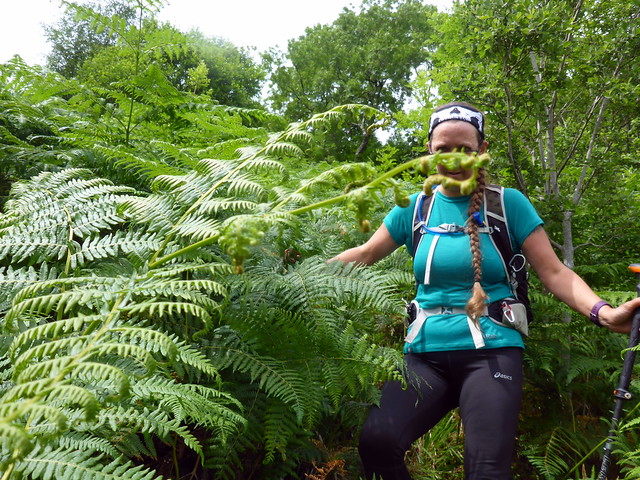
She loved it really
 P1160367
 by
Al, on Flickr
High pasture cows
 P1160369
 by
Al, on Flickr
 P1160370
 by
Al, on Flickr
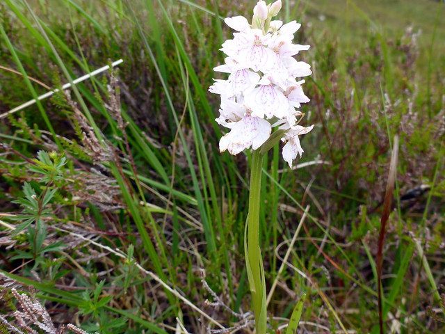
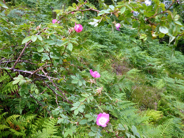
Wild rose
 P1160371
 by
Al, on Flickr
 P1160372
 by
Al, on Flickr
 P1160373
 by
Al, on Flickr
