free to be able to rate and comment on reports (as well as access 1:25000 mapping).
The evening of my thirty third birthday was spent under the stars on Gars-bheinn. The way there had been fairly easy until I got to the base of the scree after which a lot more care and balance was needed.
Timed my arrival at the top quite well, in time to catch the lowering sunlight and magnificent views over the Cuillin to the north and equally magnificent views south albeit the actual sunset was blocked by the ridge. The summit cairn either contains a shelter or has a shelter beside it inside which I curled up on the most comfortable rocks I could find.
Managed to sleep for spells until the cold woke me up and sometimes I just gazed in wonder at the sky above. A short night anyway so any discomfort similarly short lived.
If the sunset had slightly eluded me no such problem with the sunrise. Not special by any means but certainly a special situation and, eventually, great light again over the ridge.
I was using the Andrew Dempster guide to aid progress but the going was very straight forward until route finding for the scrambling route up Sgurr Alasdair's west ridge. This was where me and my companion had got stuck eight years before but we had tried to round the north side whereas Dempster's route veers right (south). We did manage to get to Sgurr Alasdair the next day though I think but from the other side. Anyway, the scrambly ascent turned out to be sheer entertainment rather than the route finding trauma I feared and I was soon at the summit. Not quite as pointy as one might suspect but a grand viewpoint nonetheless.
Ascending the shelf onto the way up Thearlaich also proved to be easier than its descent had been all that time ago. In truth, just a big step and a big stretch to negotiate in descent but a detail that has stuck in my memory.
The weather started to dullen and my appetite for further progress started to diminish with it. I consulted Dempster on the wisdom of An Stac but was put off by the steepness and length as was the case further up with the Inn Pinn. Also, one of a passing pair of ridge baggers kind of sneered at me for relying on what they termed "the Noddy book". Well I'd had a good day up to this point but with the dulling weather and tiredness I easily persuaded myself to head down west from Sgurr Dearg.
 img051
 by
John Little, on Flickr
 img058
 by
John Little, on Flickr
 img003
 by
John Little, on Flickr
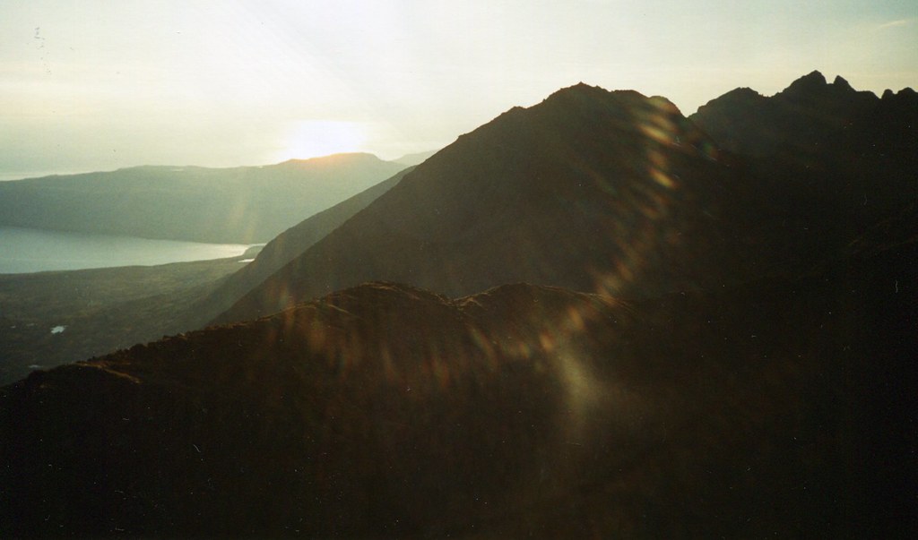
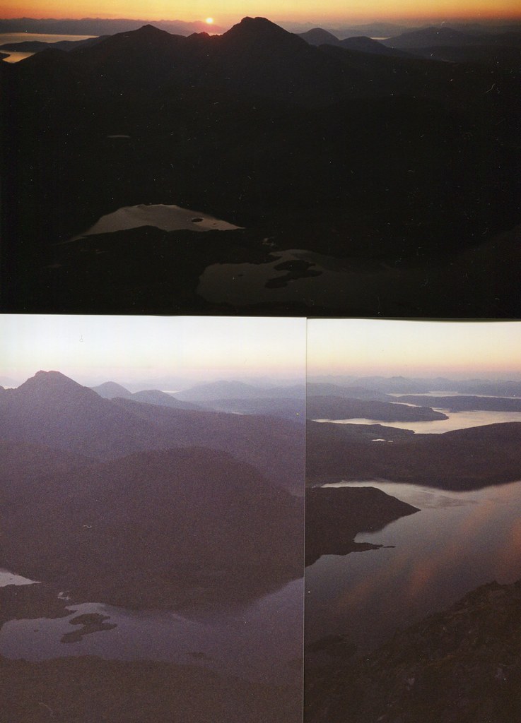
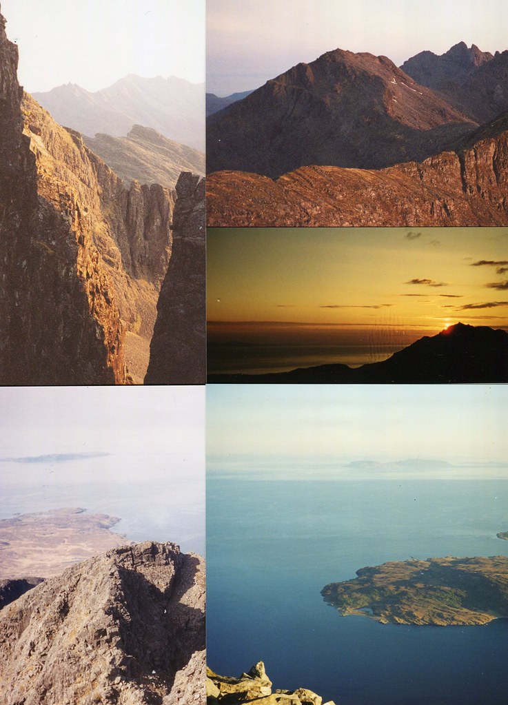
Dramatic view from just north of my bivvy spot though not quite the ideal sunset viewpoint.
 img059
 by
John Little, on Flickr
 img060
 by
John Little, on Flickr
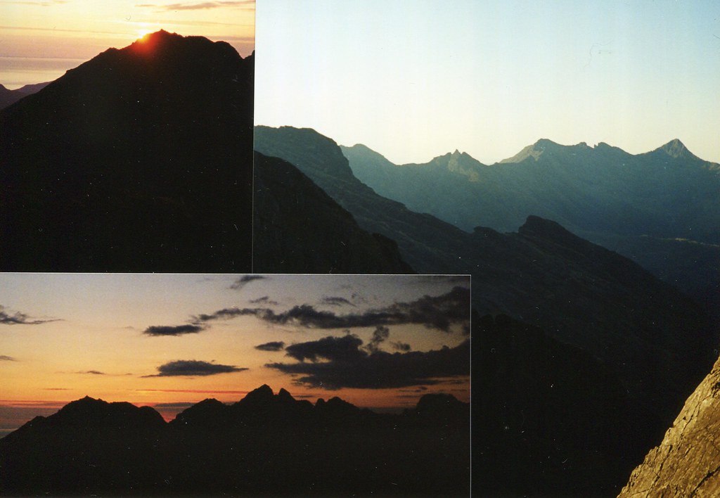
Next morning.
 img061
 by
John Little, on Flickr
 img068
 by
John Little, on Flickr
 img065
 by
John Little, on Flickr
Readyish after a cold night at the rocky Gars-bheinn cairn shelter in a survival bag spent largely looking at the starry night sky rather than sleeping.
 img067
 by
John Little, on Flickr
Soay and its mainland.
 img070
 by
John Little, on Flickr
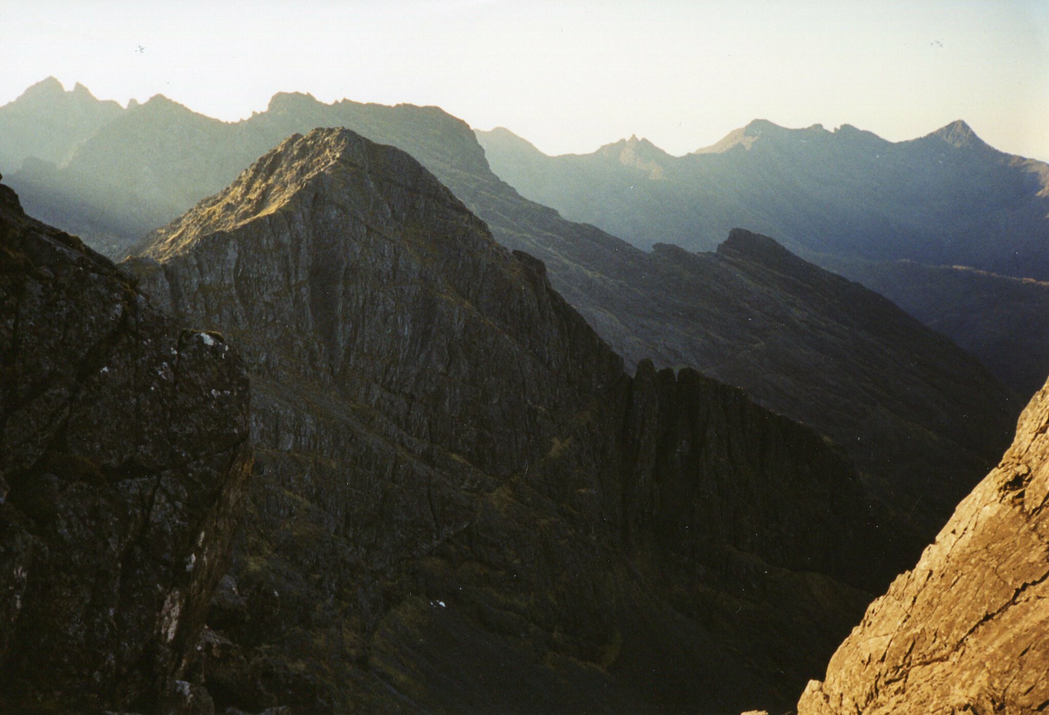
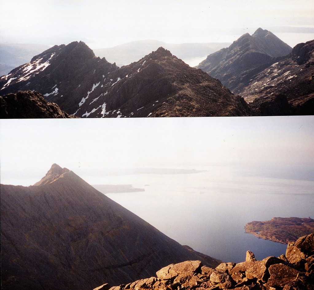
From the first Munro, Sgurr nan Eag, back to Gars-bheinn, Sgurr a Choire Bhig in the middle.
 img069
 by
John Little, on Flickr
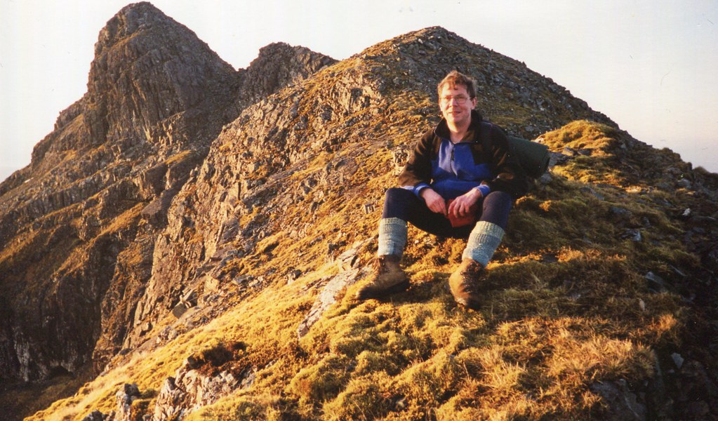
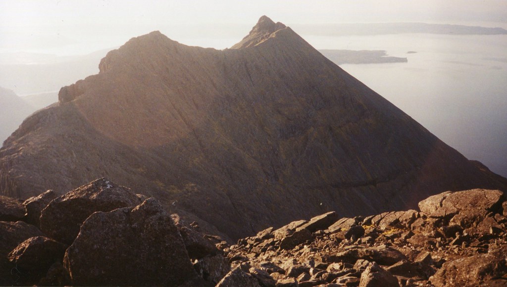
Sgurr Dubh an Da Bheinn top and Gars-bheinn bottom.
 img063
 by
John Little, on Flickr
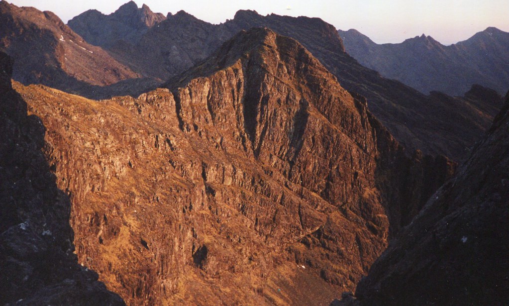
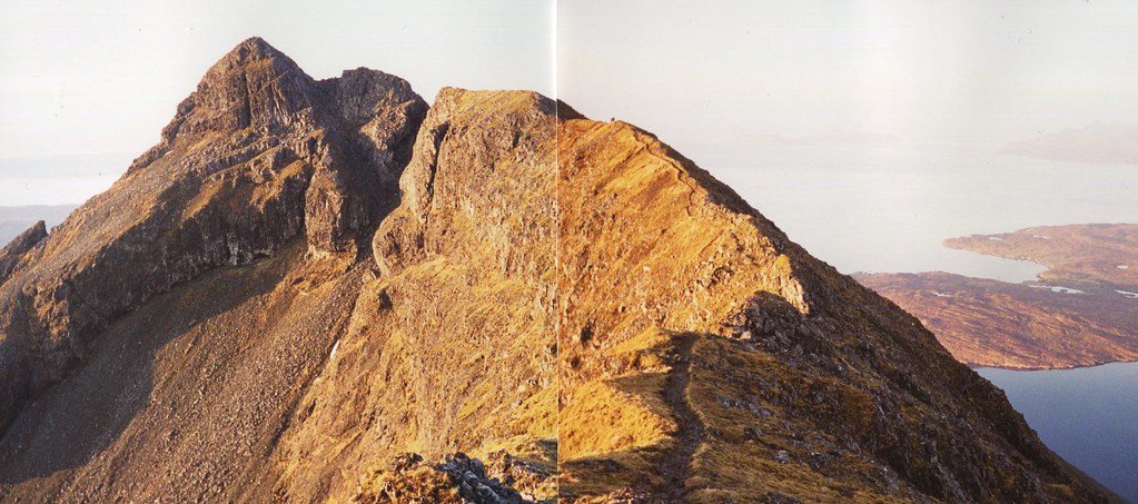
From Gars-bheinn to Sgurr Alasdair.
 img066
 by
John Little, on Flickr
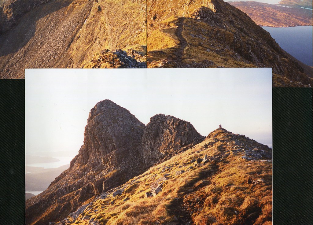
The way down from Sgurrs Alasdair and Thearlaich.
 img064
 by
John Little, on Flickr
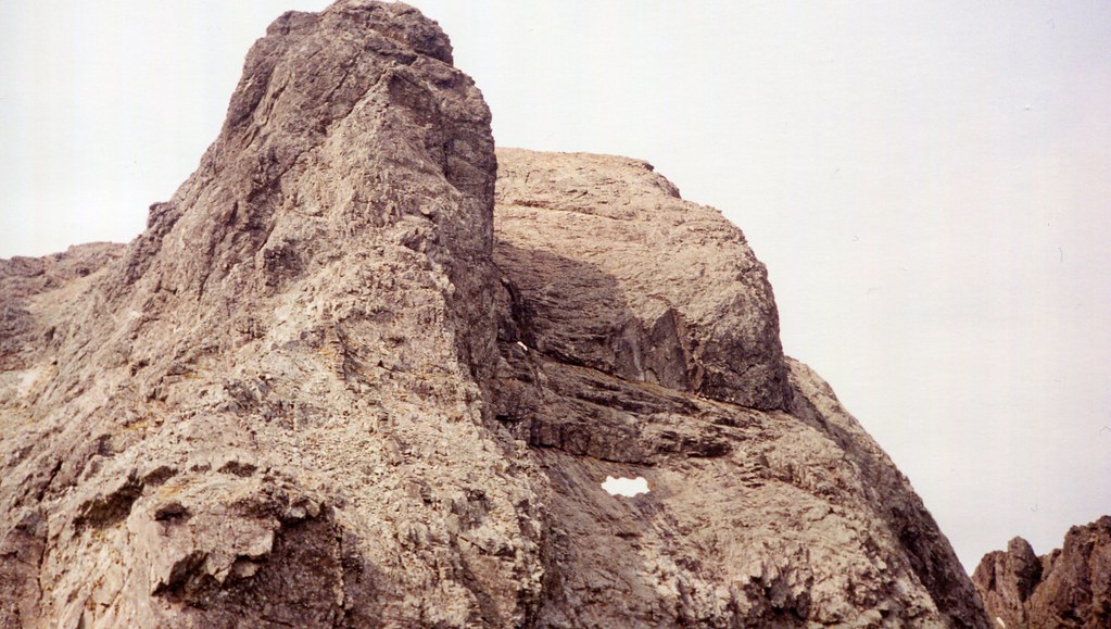
The foot of An Stac I think.
