walkhighlands

This board helps you to share your walking route experiences in England and Wales... or overseas.
Warning Please note that hillwalking when there is snow lying requires an ice-axe, crampons and the knowledge, experience and skill to use them correctly. Summer routes may not be viable or appropriate in winter. See winter information on our skills and safety pages for more information.

A short walk in the foothills of Snowdonia

A short walk in the foothills of Snowdonia


Postby Alteknacker » Sun Oct 15, 2017 6:16 pm

Hewitts included on this walk: Foel Gron, Moel Cynghorion, Moel Eilio, Mynydd Mawr

Date walked: 12/10/2017

Time taken: 4.75

Distance: 17 km

Ascent: 1564m

3 people think this report is great.
Register or Login
free to be able to rate and comment on reports (as well as access 1:25000 mapping).

I’d not been out in the hills since MountainStar’s Snowdonia meet at the beginning of September, in spite of now having all the time in the world to walk. A combination of other commitments, plus forecasts of poor weather on the days I had available, had conspired to ensure I didn’t manage any hill time. And I was feeling increasingly stir-crazy.

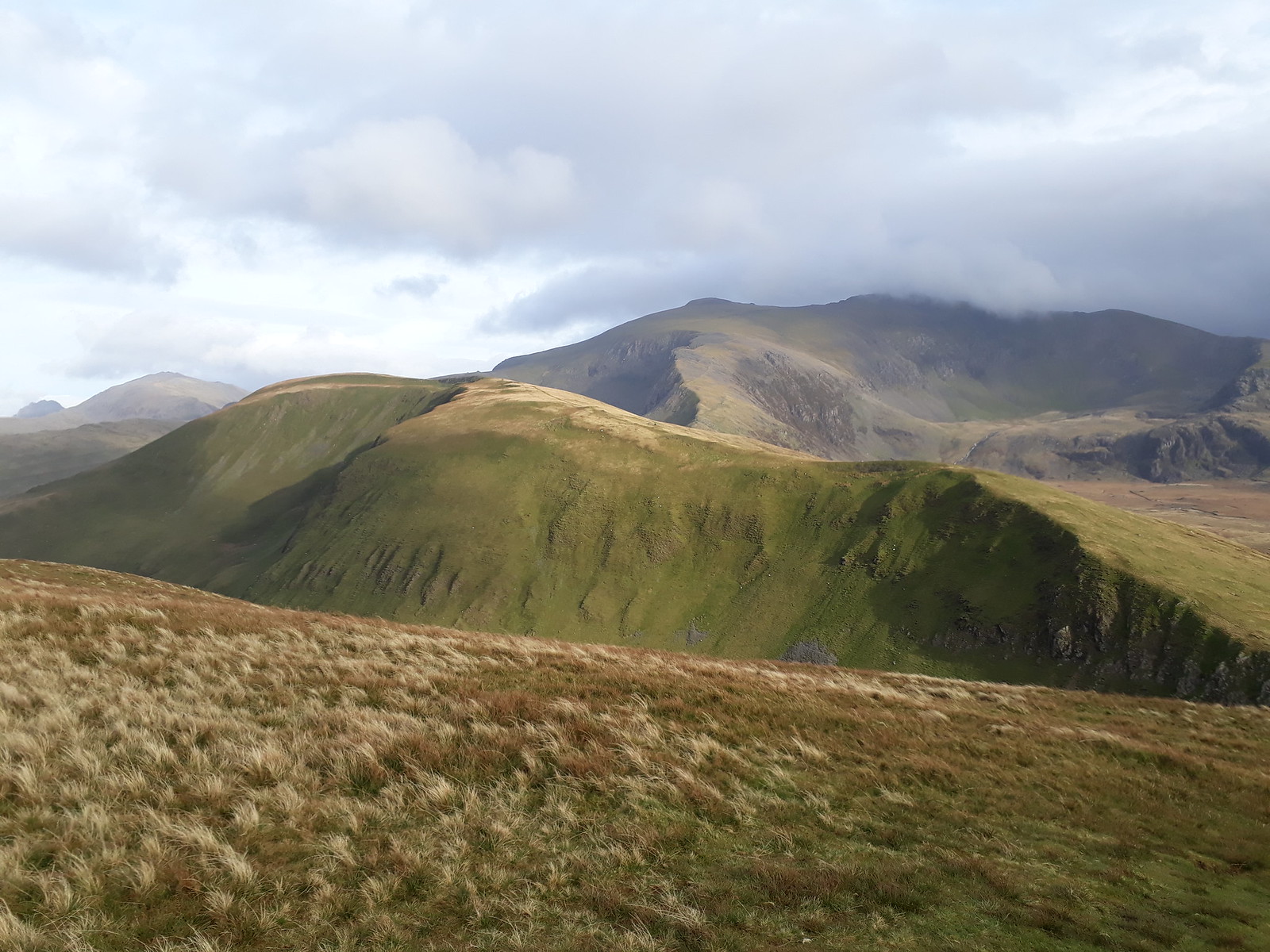
Image

All of a sudden, though, I had a time slot when the forecast at least for one day - Thursday 12th October – looked acceptable: generally fine, clear, with just a few short periods of mist and rain. Unfortunately I had to do something in the morning, which meant I wouldn’t be able to get into the hills before lunchtime, so I had to go for a half-day route.

I’d noticed some red pins to the West of Snowdon group....
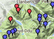
Image

....and looking at pics of these hills and poring over the map, Mynydd Mawr at least looked to have plenty of character, and the lie of contours indicated that I could expect really good views looking southwards of the Nantlle Ridge and Irish Sea. The ridge on the east side of the valley also seemed appealing – from the map it looked like it would be clear open ridge walking, that should afford great views of many of the Welsh 3000ers - of Yr Wyddfa and of the entire ridge from Elidir Fawr to Tryfan. So I planned a round that encompassed the 4 Hewitts in question....


our_route.gpx Open full screen  NB: Walkhighlands is not responsible for the accuracy of gpx files in users posts


... starting from the Warden’s area indicated on the map. Unfortunately, when I get there, it transpires that there is no parking at the Warden’s area (though there are vast areas of what looks like parking hardstanding, plus camping areas - there are even a few tents pitched - access to which is closed off by padlocked gates); so I have to park about a kilometre or so further along the A4085 at a point where the road is wide enough to be able to do so safely. I imagine it could be really quite difficult to find somewhere to park in the vicinity during the school holidays.
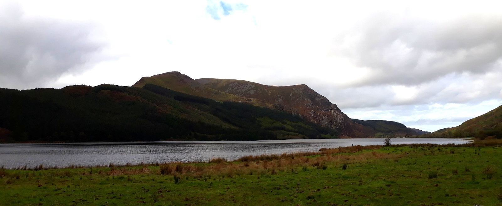
Image20171012_125713. The first objective, Mynydd Mawr, looking WNW from where I parked the car.
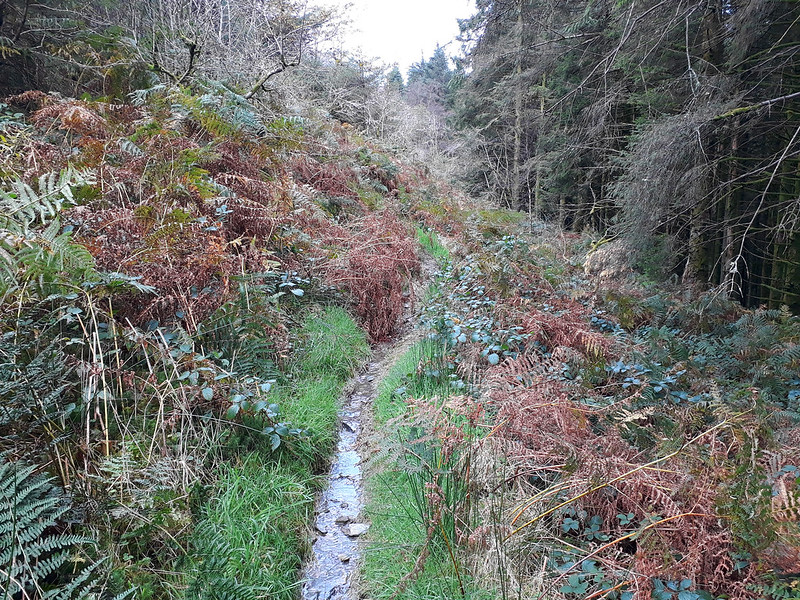
Image20171012_131011. The first part of the route follows a muddy track uphill through forest for a kilometre or so. The mud is not wholly unexpected: I’d heard that over 75mm of rain had fallen at Capel Curig on the Tuesday!!!
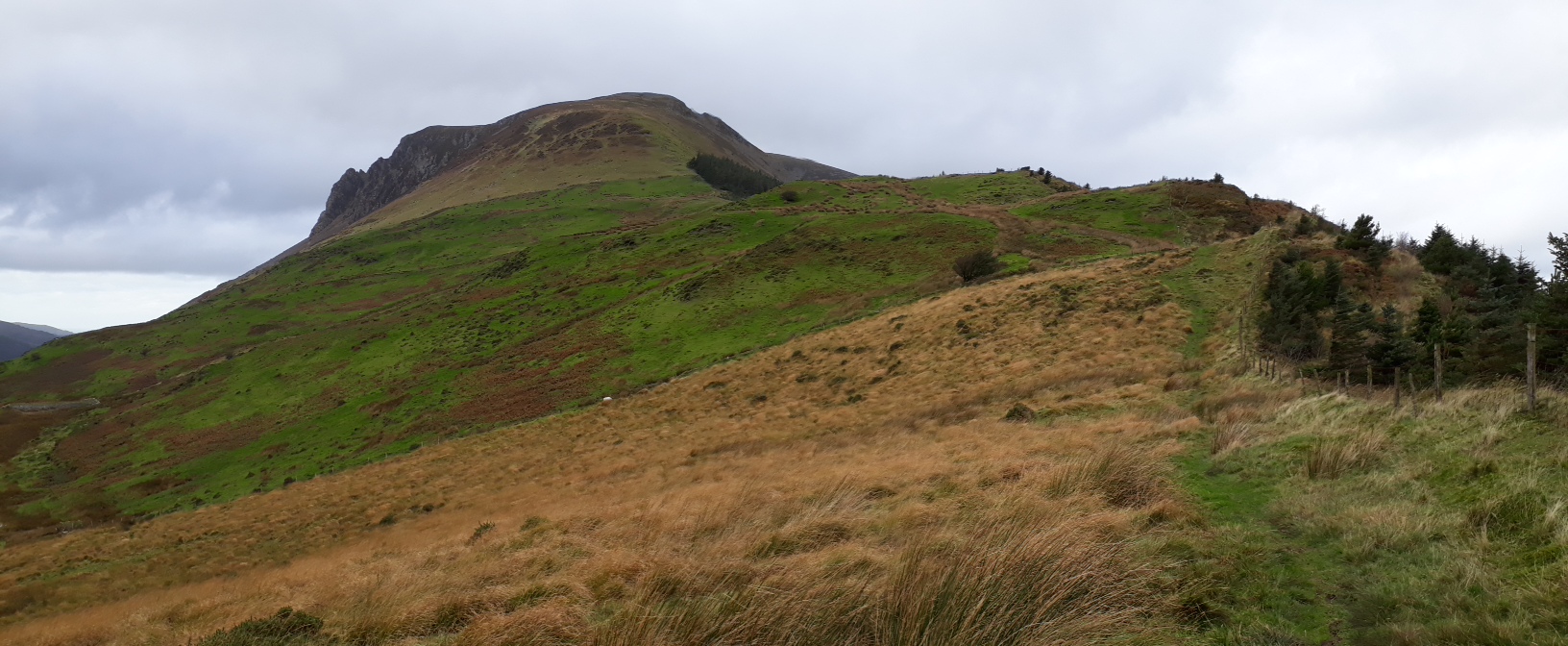
Image20171012_131818. Then it reaches the open hillside.

Image20171012_131714. Pano - Y Garn (Nantlle Ridge) on the left, Foel Rudd on the right.

On the ascent I meet the only other walkers I see all day, a couple on their way down. They mention that it's pretty blowy on the top.

Image20171012_133443. Looking back ESE along the ascent route from close to Foel Rudd. The cloud is lower than forecast - it was supposed to come in towards the end of the day...

Image20171012_133506. Pano from the same location, showing the ridge on the other side of the valley...

Image20171012_133506. ... and the same view with the 3 Hewitts on it labelled.
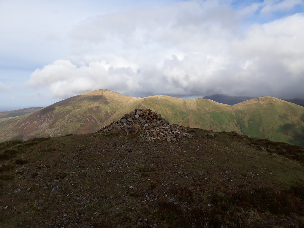
Image20171012_134301. Looking more or less north from Foel Rudd summit across to Moel Eilio (LHS) and Foel Gron (RHS)...

Image20171012_134335.. ... and north west along the ridge towards Mynydd Mawr.

Image20171012_134518. The route ahead (RHS): easy walking, leaving plenty of opportunity to enjoy the views south across to the Nantlle Ridge.

Image20171012_135235.

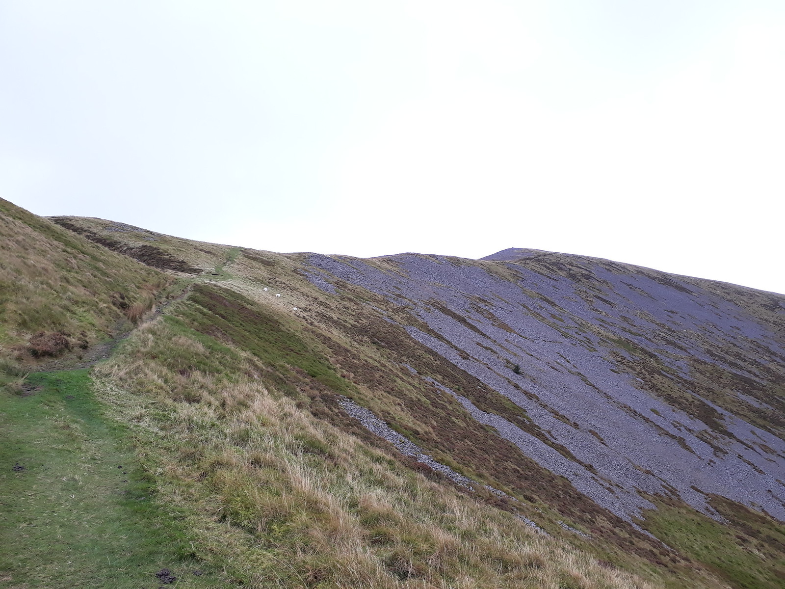
Image20171012_135252. The route up to Mynydd Mawr.
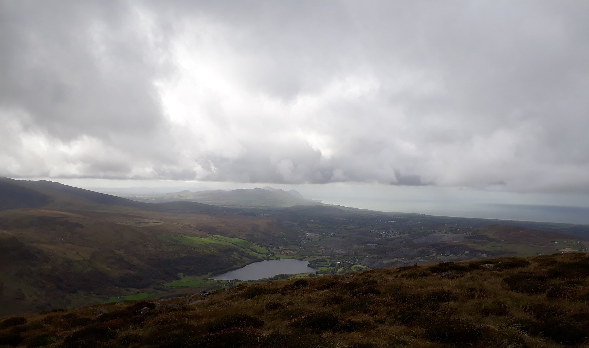
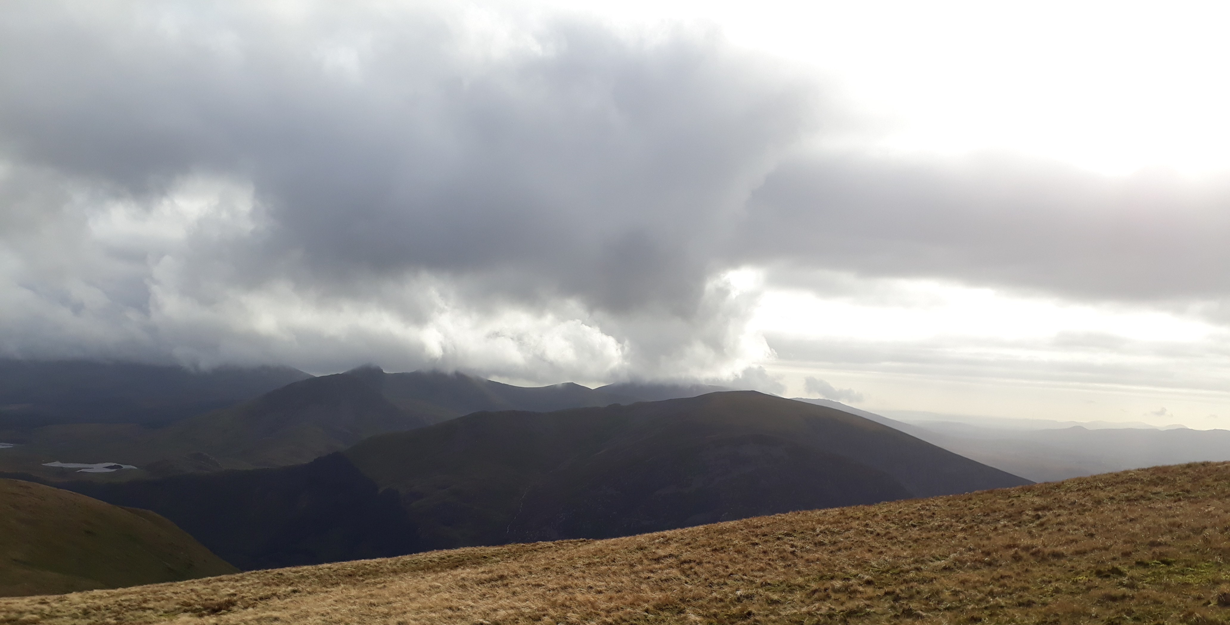
Image20171012_135706. Dramatic dynamic cloudscapes on the way (here looking out south towards the Lleyn Peninsula.
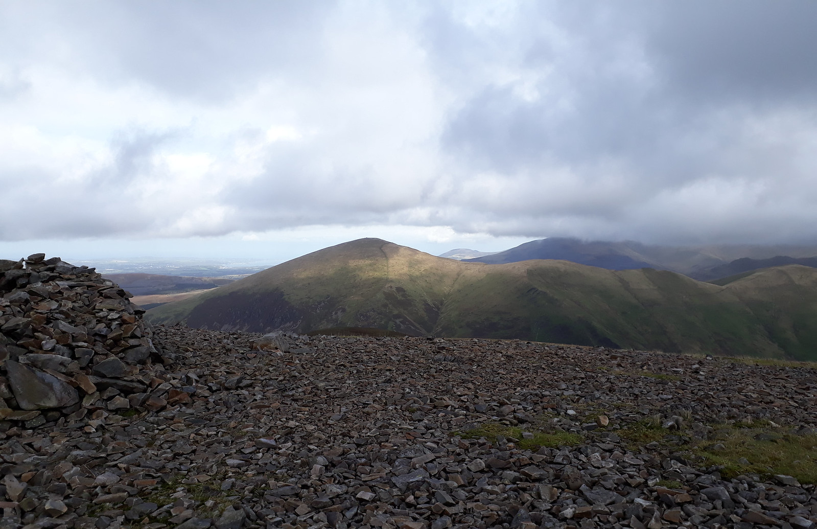
Image20171012_140214. I reach the summit about an hour after starting. This view is looking north east across to Moel Eilio....
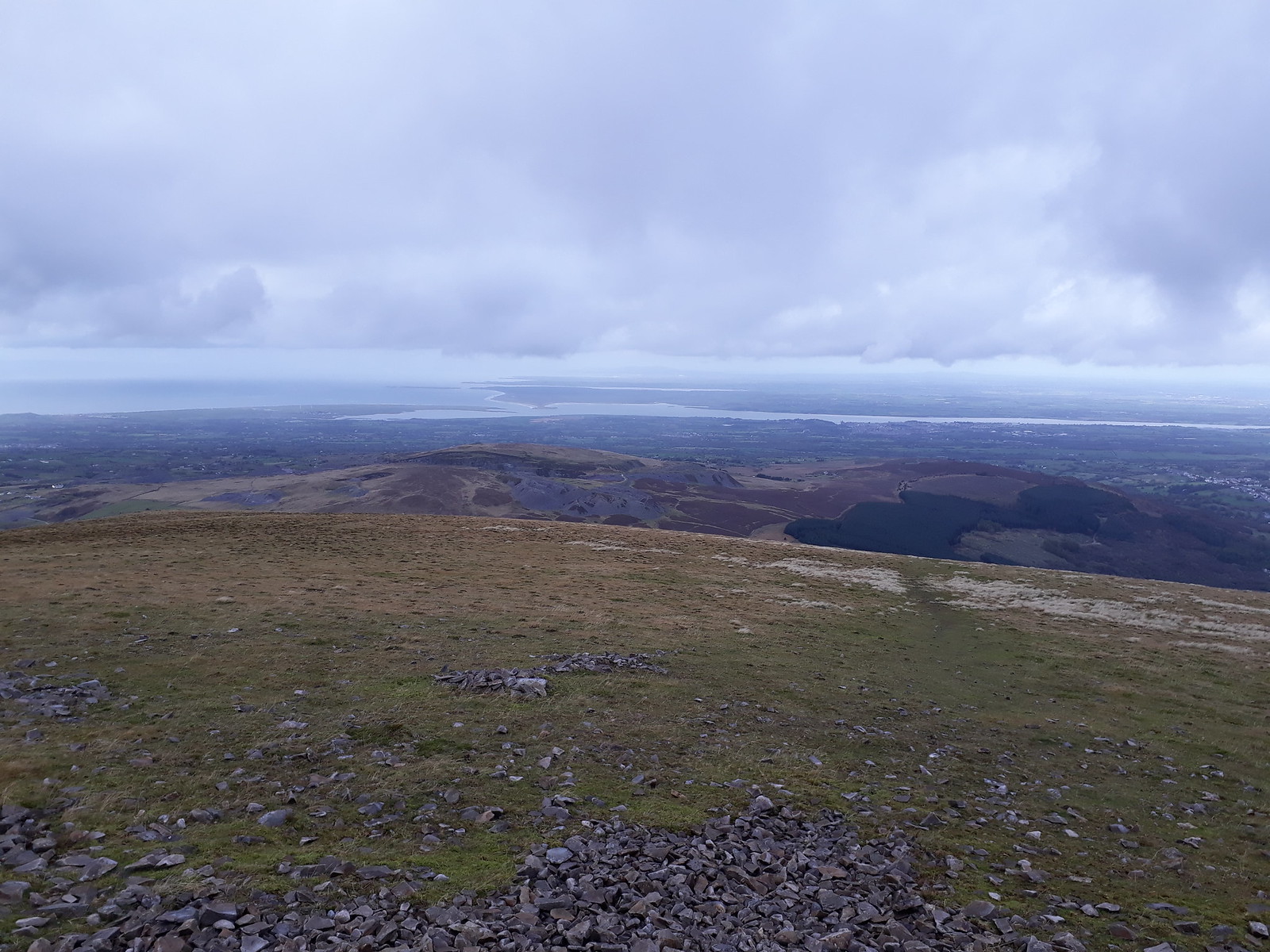
Image20171012_140406. ... and this north west across to Anglesey. Although the air temperature is quite high for the time of year, the wind is pretty strong so there's quite a chill factor, and I don't hang around too long.

I head off north west initially, rather than heading towards Moel Eilio directly, because the north face of Mynydd Mawr looks from the map like it should be pretty spectacular.

Image20171012_141302. And it is!

I then swing eastwards about half way down, and head across rough heather, aiming for the centre of a small wood (visible on the LHS of the pic) through which the map indicates there is a path - which indeed there is. Immediately behind the wood is Moel Eilio, the next goal.
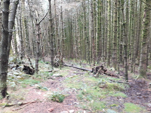
Image20171012_143656. It's a tad boggy, and blocked in many places with fallen trees, but presents no real problem.
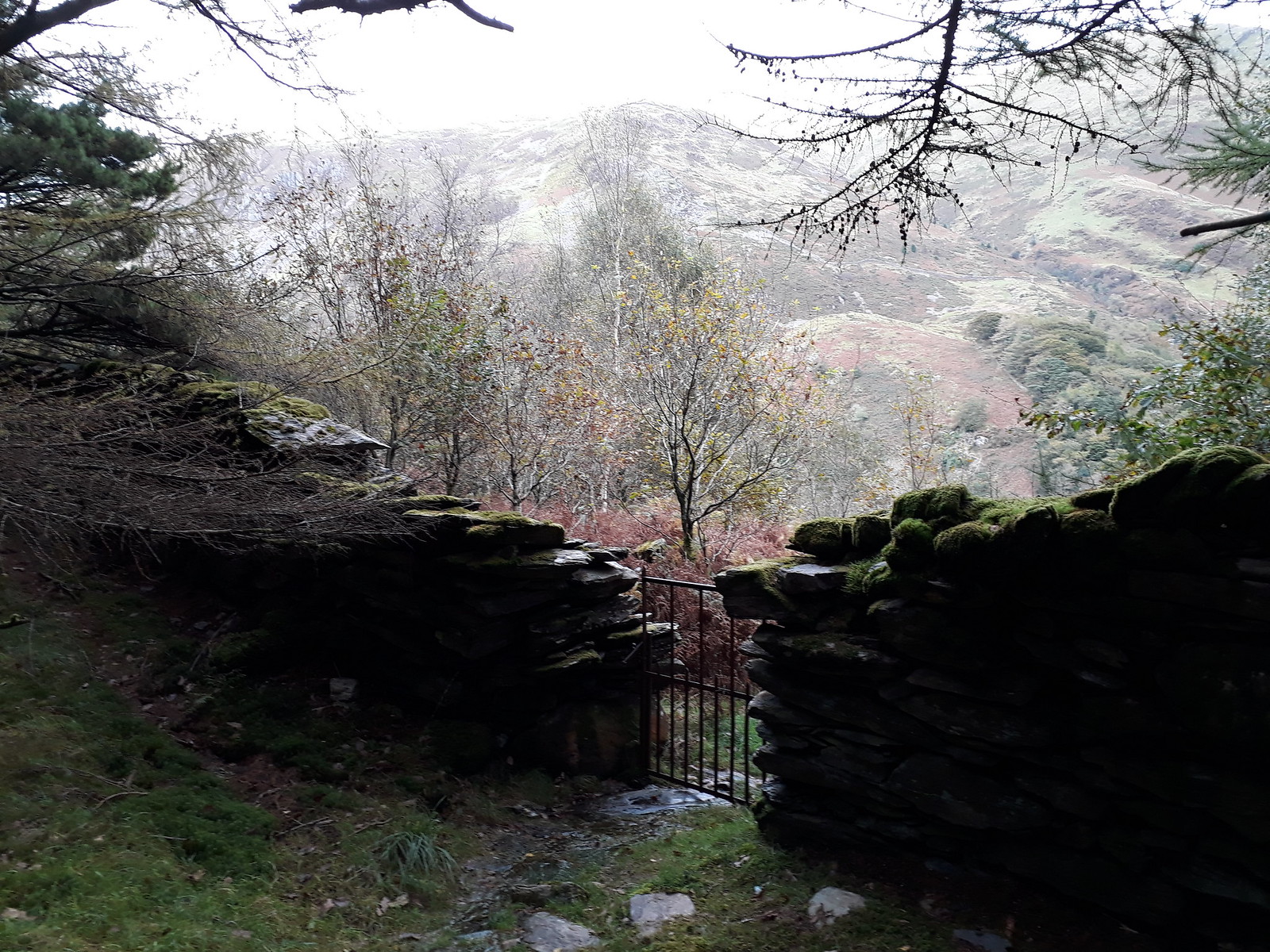
Image20171012_144054. The end of the wood is marked by a rather charming steel gate, behind which the next goal, Moel Eilio, is visible.
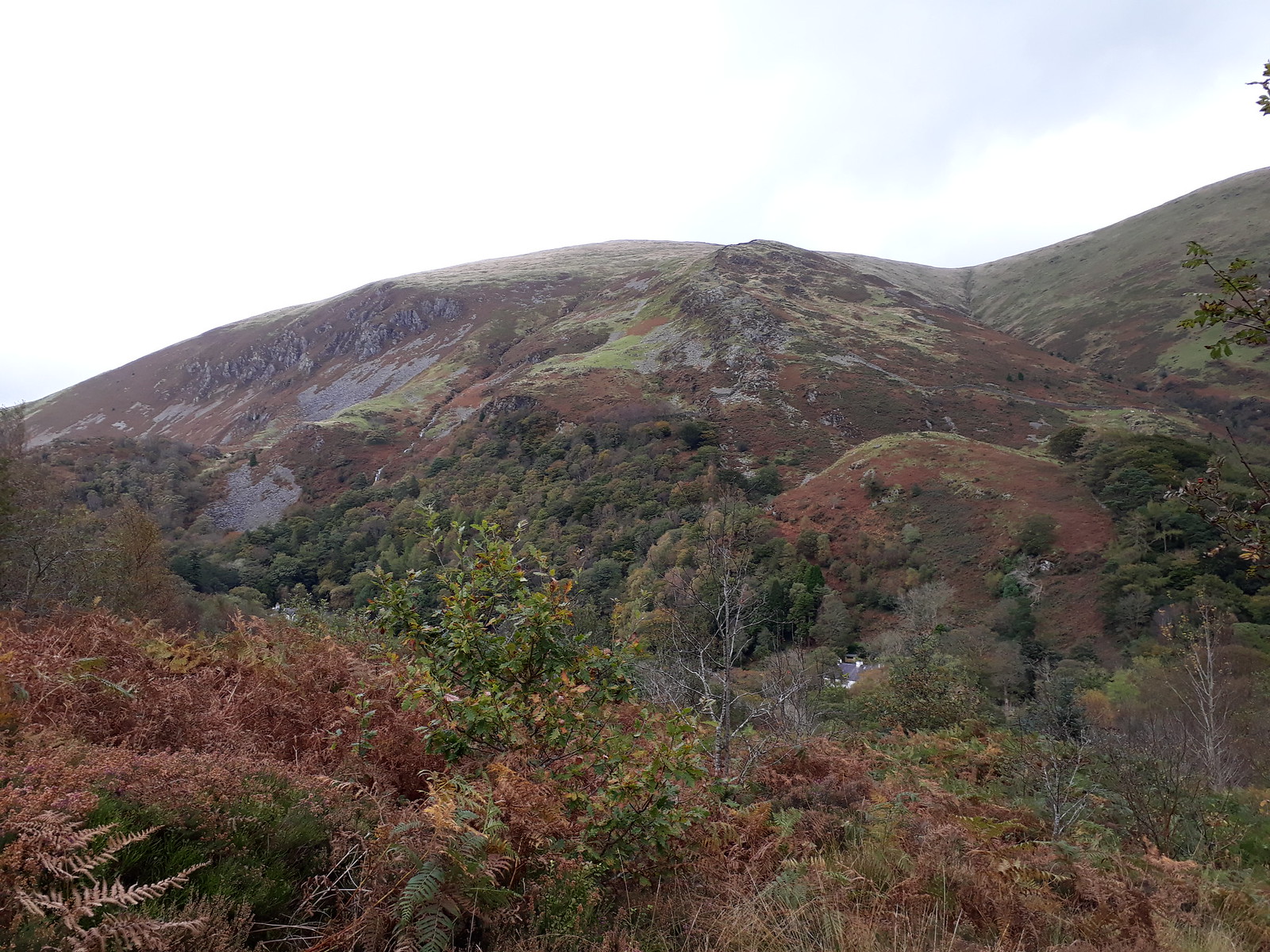
Image20171012_144234. Some roughish ascent ahead.
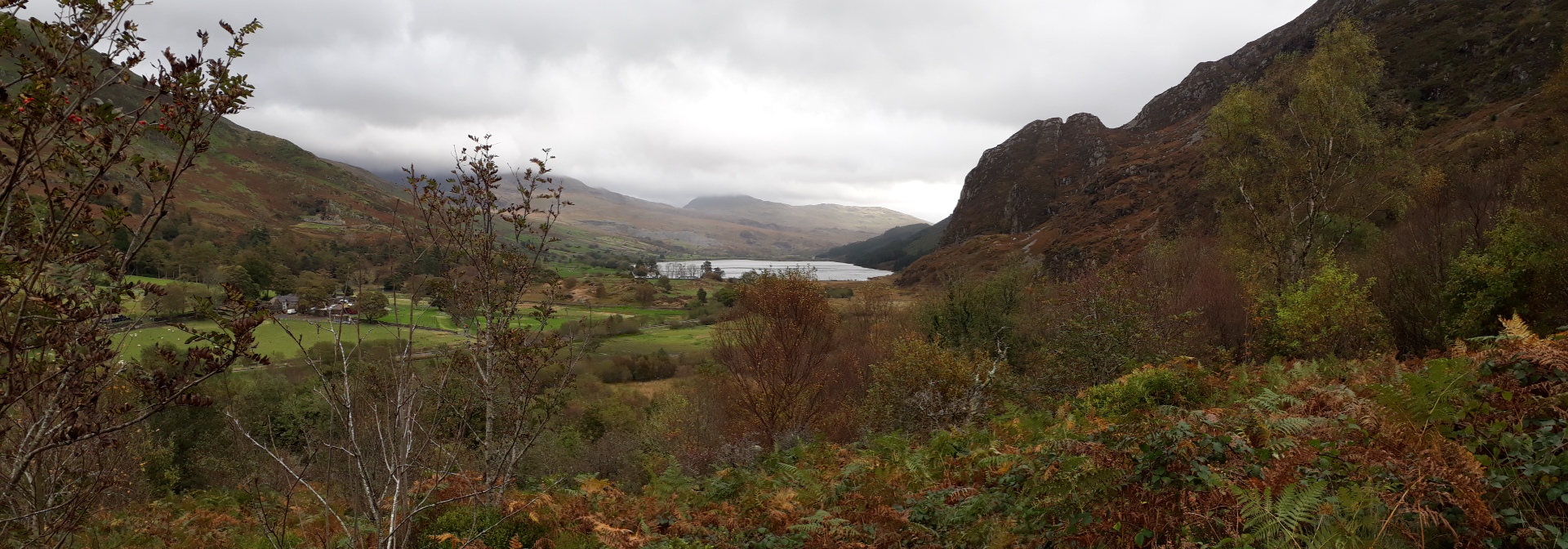
Image20171012_144349. Green pano looking south east towards Llyn Cwellyn, with what I take to be Yr Aran with its summit in cloud in the centre background.
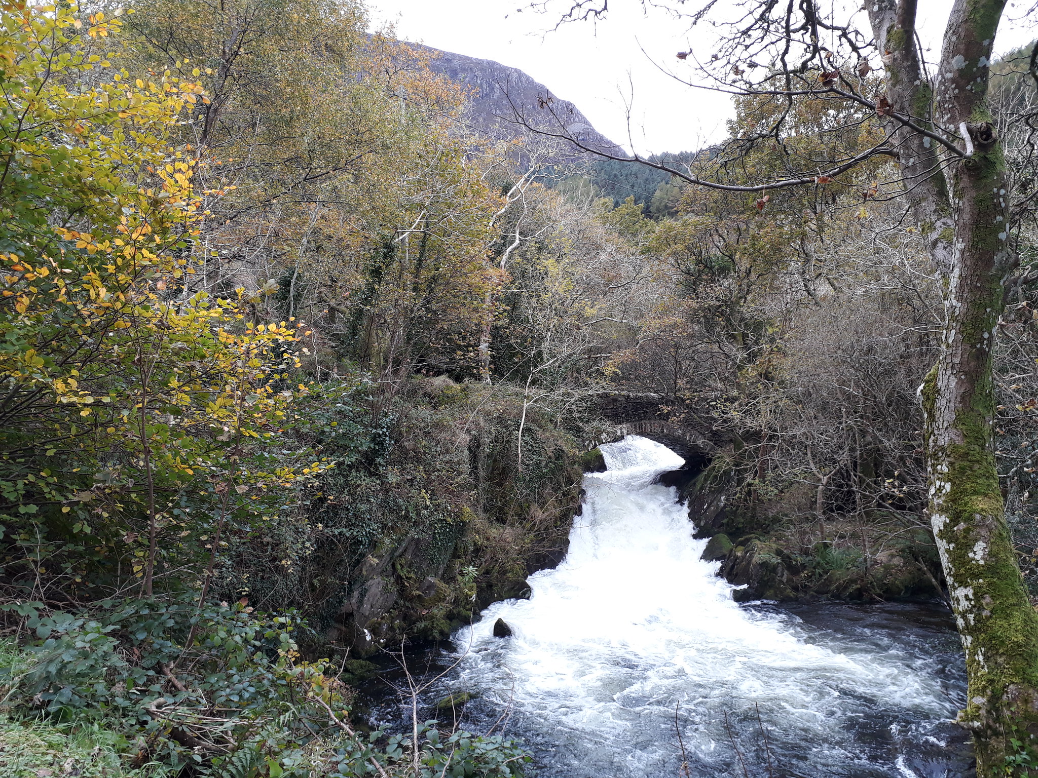
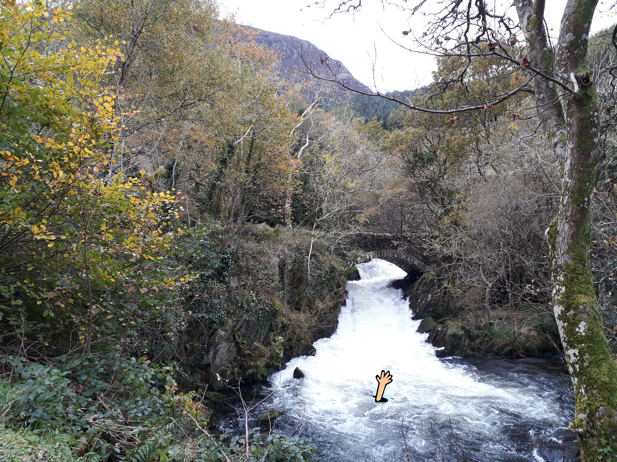
Image20171012_144748. Looking at both the map and Google Earth when planning the route, it hadn't been clear to me that there was a crossing of the Afon Gwyfrai at this point, but fortunately it turned out there was. Just as well, given the volume of water flowing! I don't think that the rubble bag technique would have worked so well here.... :roll:

Imagea bit deep for paddling...

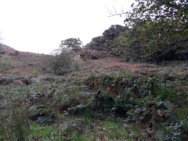
Image20171012_144954. No path is indicated on the map to start the ascent of Moel Eilio, and most of the hillside is covered with woods (= bad bad bad). I walk along the road for a short distance towards the one bit of hillside that isn't wooded. There's an old metal gate there, but no sign of a path leading from it through the thick tangle of bracken and brambles.

But it looks worse than it is, and pretty soon I'm on clear hillside.
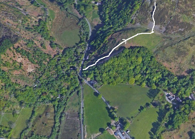
ImageAscent of Moel Eilio start.

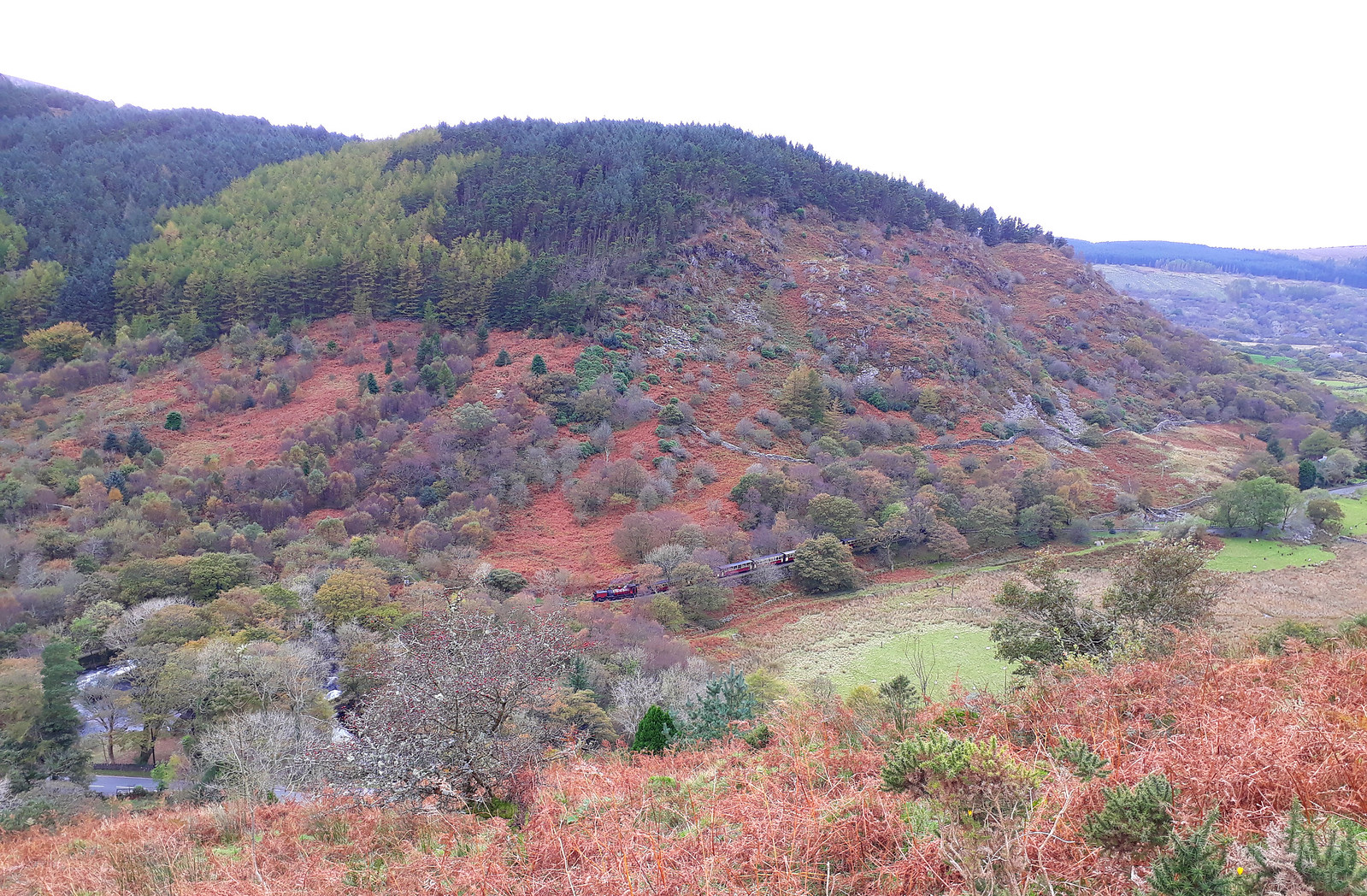
Image20171012_145813. Just after I clear the bracken-and-bramble jungle, I hear a train's whistle, and look down to see a long train on the narrow gauge Welsh Highland Railway.

Image20171012_151232. Great views of Mynydd Mawr, Llyn Cwellyn and Nant y Betws on the ascent...
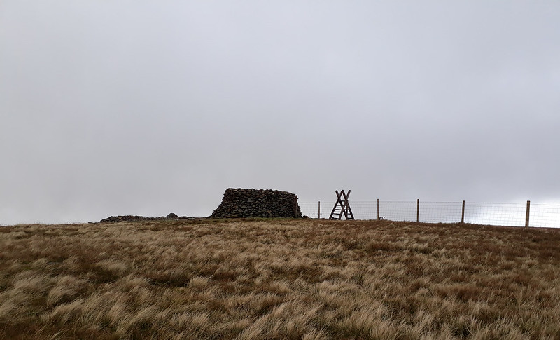
Image20171012_154708. The summit shelter is large and very welcome: the wind has really got up, and gusts repeatedly knock me off balance. I'm now finding it quite chilly, notwithstanding the relatively high air temperature and the exertion of the climb, so I don another layer and consume a sarnie as I enjoy the views. There is still more and lower cloud than forecast, but somewhat miraculously, the tops I'm heading for are clear (Foel Gron) or almost clear (Moel Cynghorion).
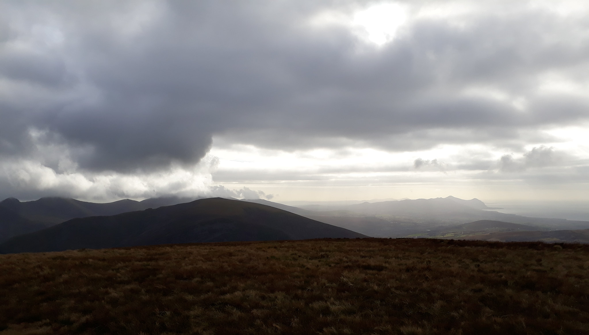
Image20171012_155542. The cloudscape is constantly and dramatically changing in the howling gale. This looking again towards the Lleyn Peninsula.

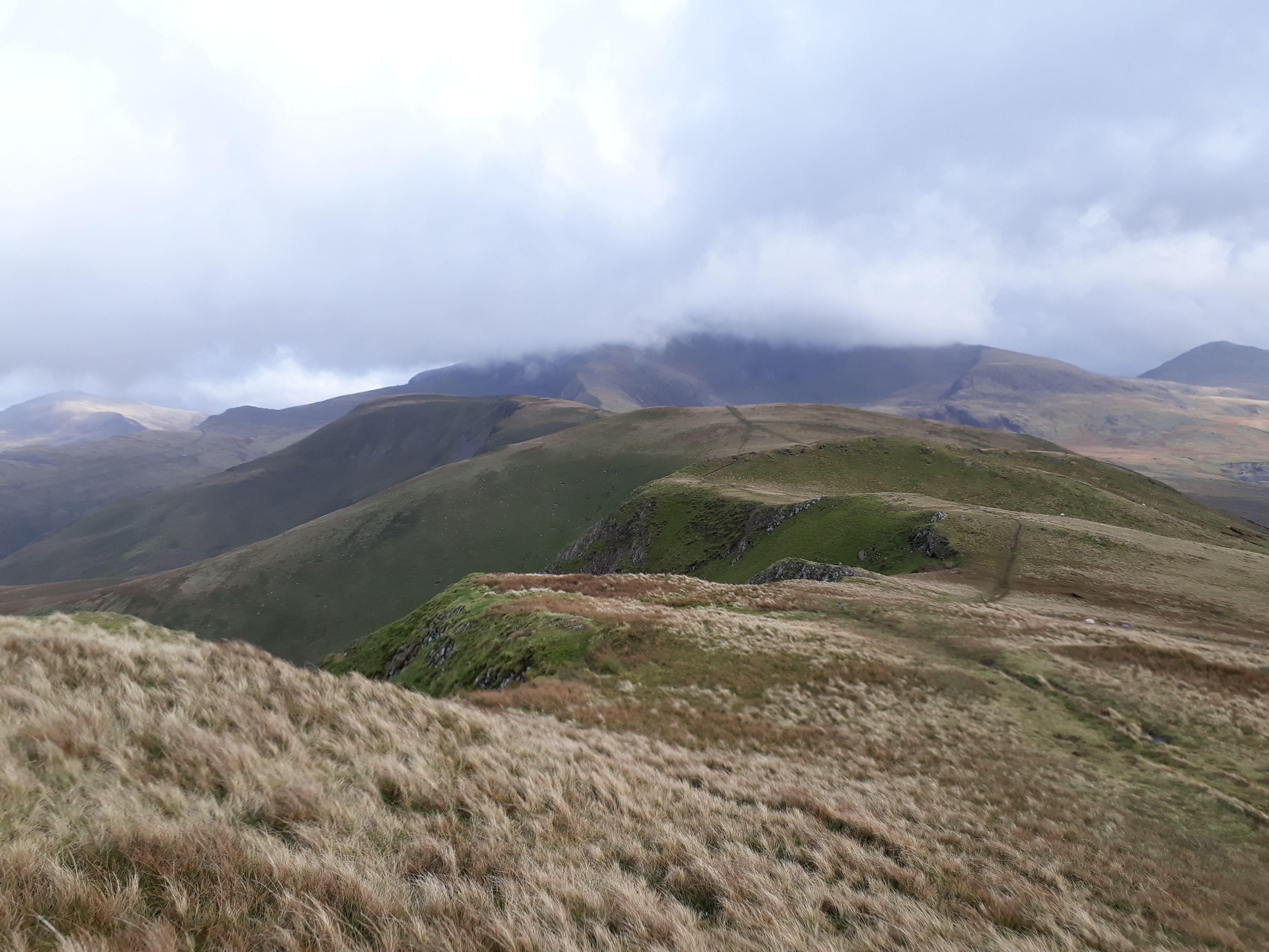
Image20171012_155716. A view of the next stage of the walk: the ridge from Moel Eilio to Moel Cynghorion.
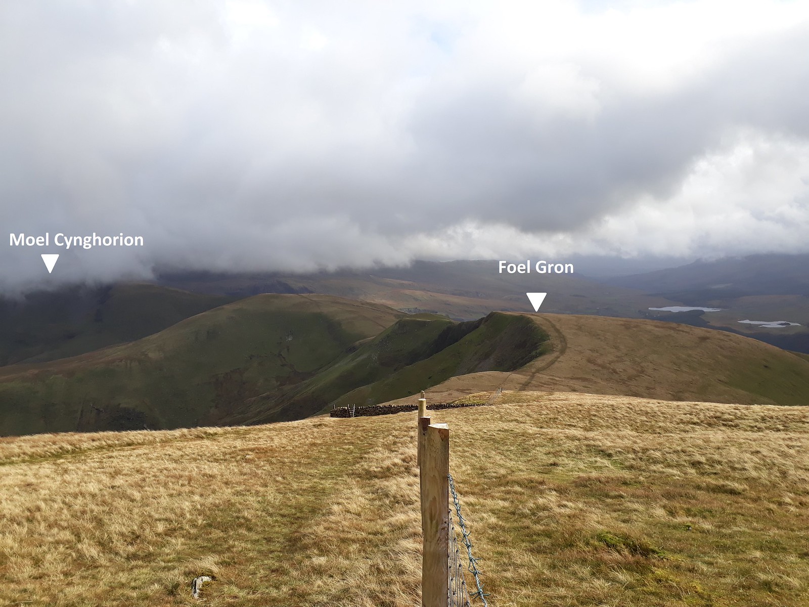
Image20171012_155716 - labelled.

Image20171012_155731. Looking back at Mynydd Mawr, with the Nantlle Ridge just left of it, and to the extreme left, Moel Hebog.
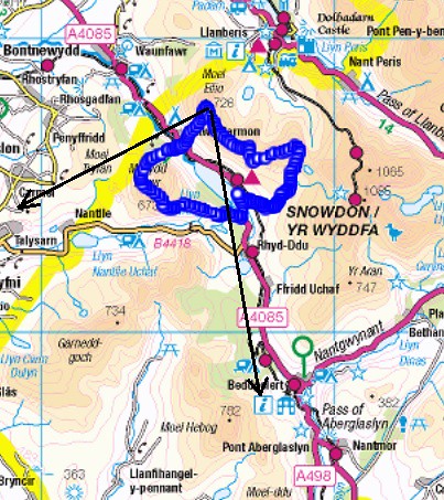
Image---------------------------------------------------- Mynydd Mawr - Nantlle Ridge - Moel Hebog.
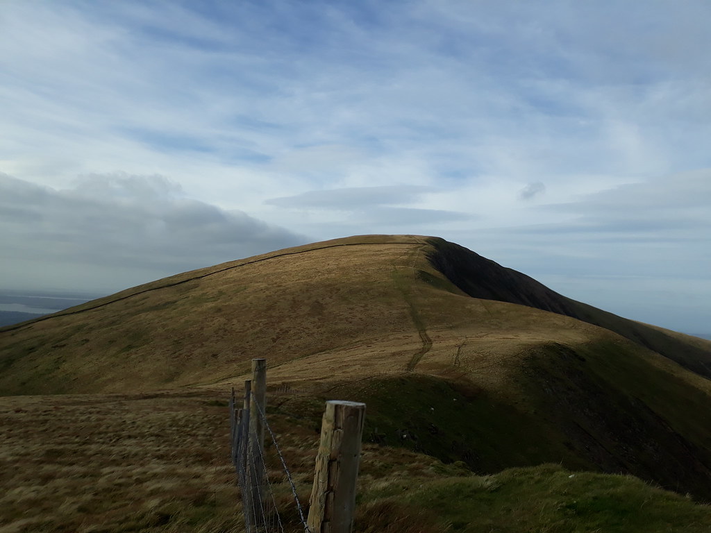
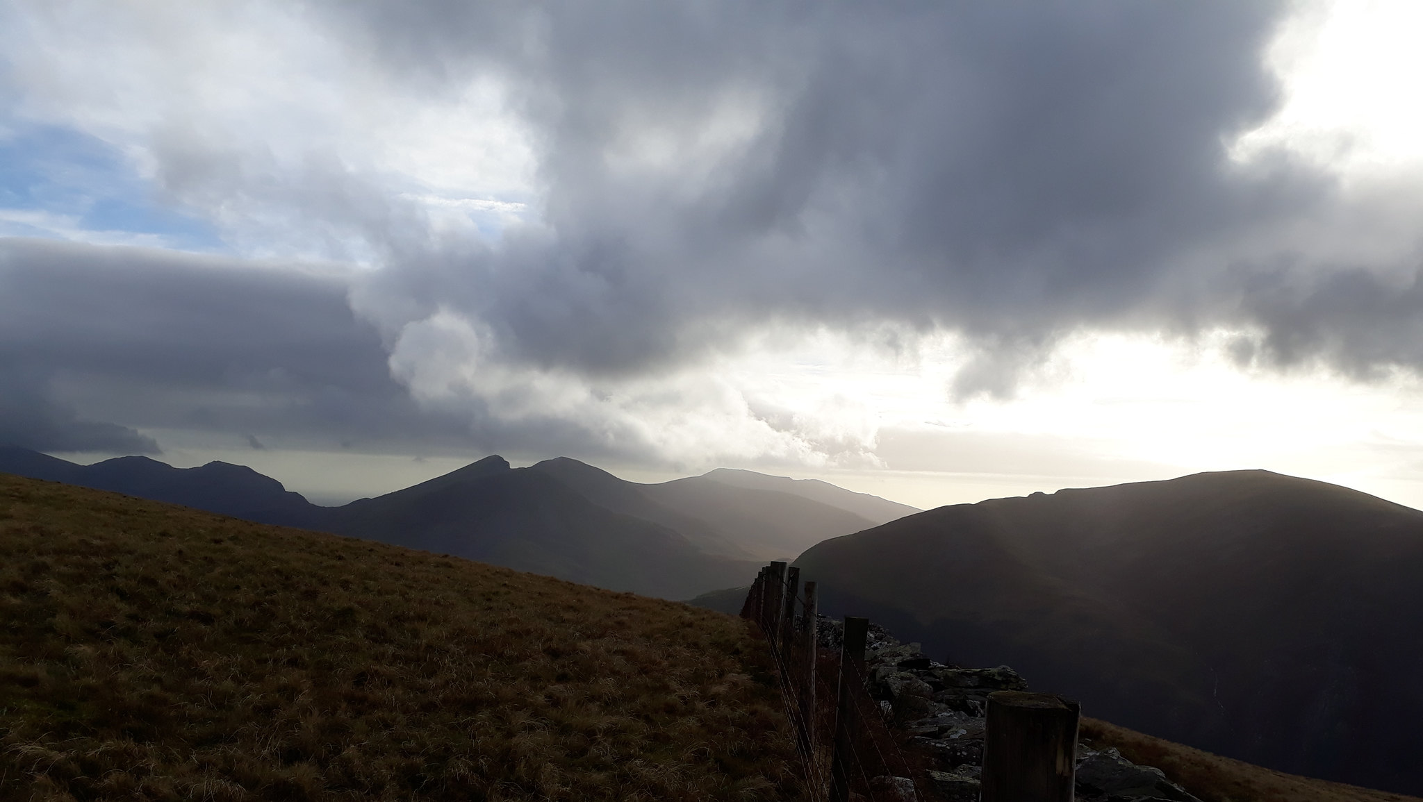
Image20171012_160652. And looking back towards Moel Eilio. It's all I can do to stand up in the gale, and I have to steady the camera on a fence post to take the pic.

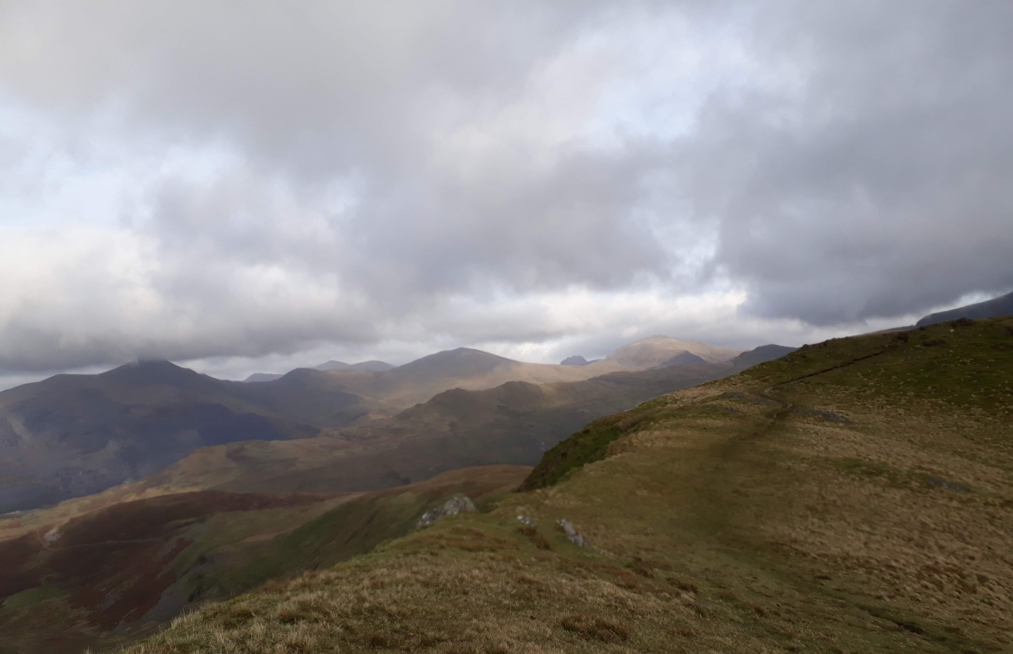
Image20171012_160707. Looking east, the view of the Elidir Fawr - Tryfan ridge is just stunning. This pic in no way does it justice. But when I look back at this pic in the future, I hope I'll remember how it was....
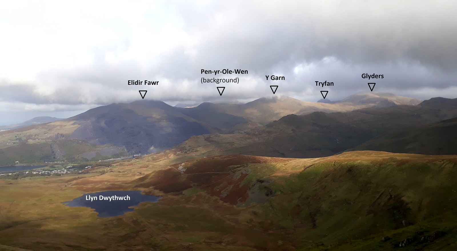
Image20171012_160707 - labelled.

Image20171012_161046. And this is what is ahead: absolutely delightful ridge walking - were it not for the howling gale, which means I have to lean about 30 degrees to the right in order to remain upright :roll: .

Image20171012_161252. The Welsh 3000ers again, Tryfan more or less in the centre.
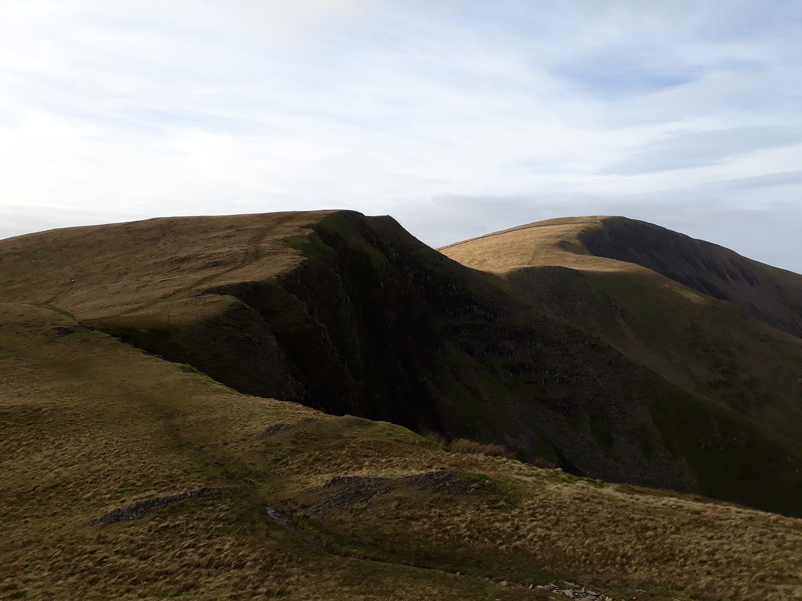
Image20171012_161413. Looking back towards Foel Gron and Moel Eilio. Can't get easier ridge walking that this :D .

Image20171012_162238.

Image20171012_162511. I keep having to look back towards the sun setting in the west, but the wind is so strong that I have to have recourse again to resting the camera on a fence post so as to minimise the vibrations. I take 5 or 6 exposures for every view in the hope that at least one isn't too blurred... And - maddeningly - I get blown into the barbed wire topping the fence which results in a tear in my jacket. This is some wind!
Imager

Image20171012_162854. The route ahead to Moel Cynghorion, with Yr Wyddfa lowering behind. The approach to Yr Wyddfa via the Clogwyn Du'r Arddu (centre of the pic), with its precipitous cliffs, looking very imposing. (The pimple in the background on the extreme LHS is Tryfan!!!).
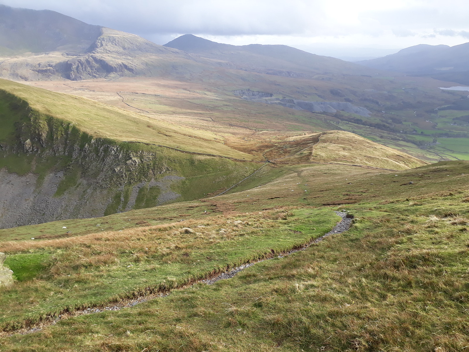
Image20171012_162930. Easy path walking to Moel Cynghorion; the Lechog ridge leading up to Yr Wyddfa just left of centre.

Image20171012_170208. The view looking north east from the summit of Moel Cynghorion is just superb. All the 3000ers are now out of cloud, and the sun is beaming down.
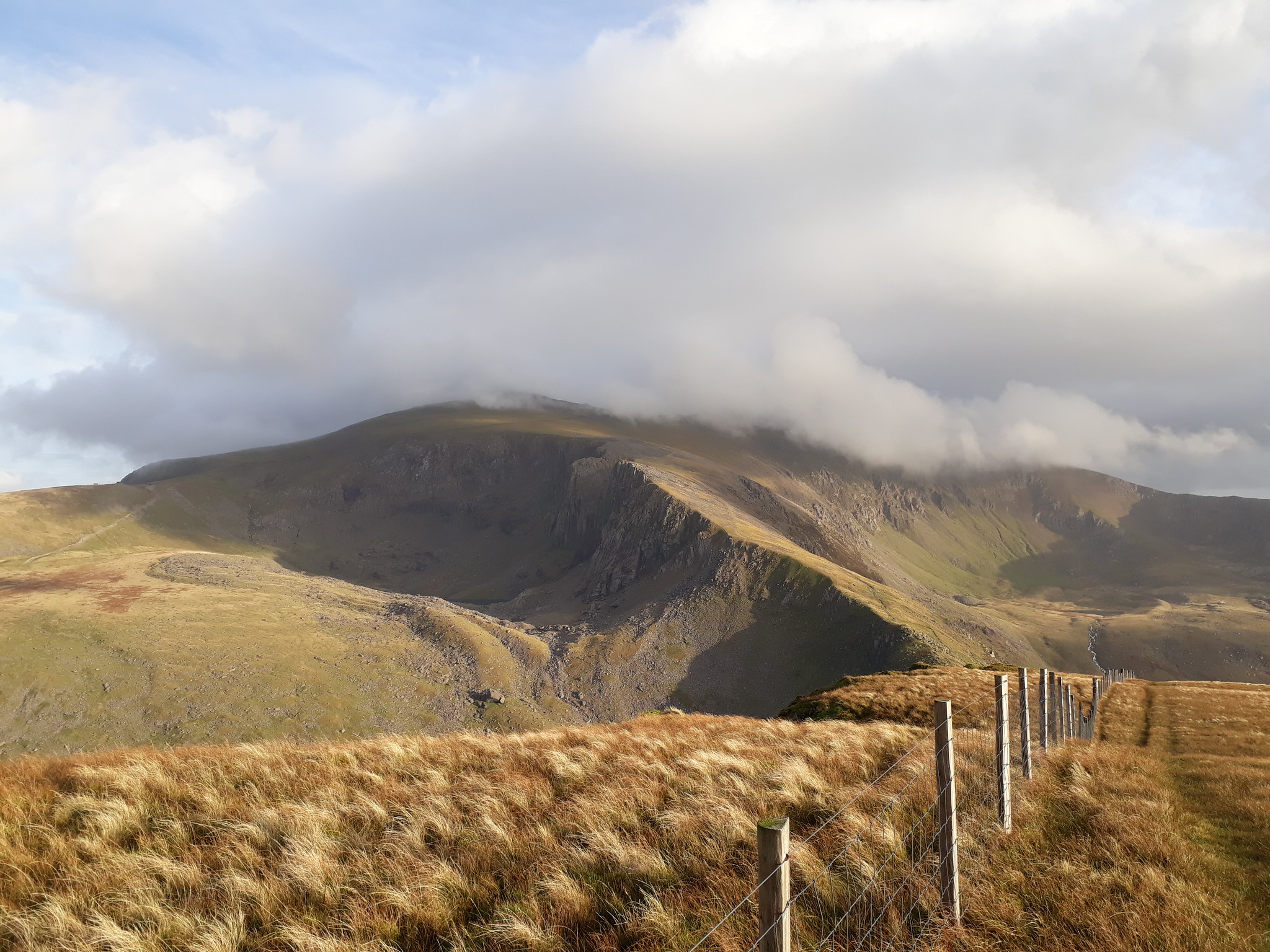
Image20171012_170238. Clogwym Du'r Arddu to the south east looking seriously imposing...
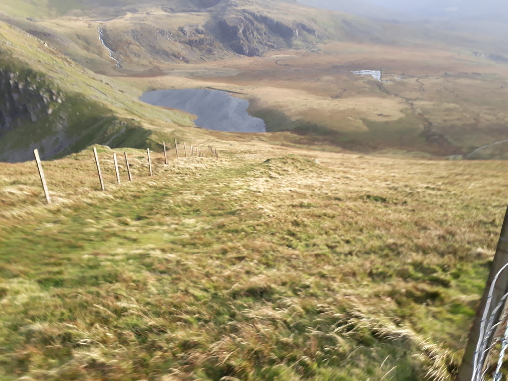
Image20171012_170612. Llyn Ffynnon-y-gwas looking pretty wind-swept!

I spend a goodly time soaking in the splendid views (while simultaneously endeavouring to avoid being blown away), before heading off back to the car. There's an easy track to follow that starts close to the mini-reservoir just south of Llyn Ffynnon-y-gwas, so progress should be quick...
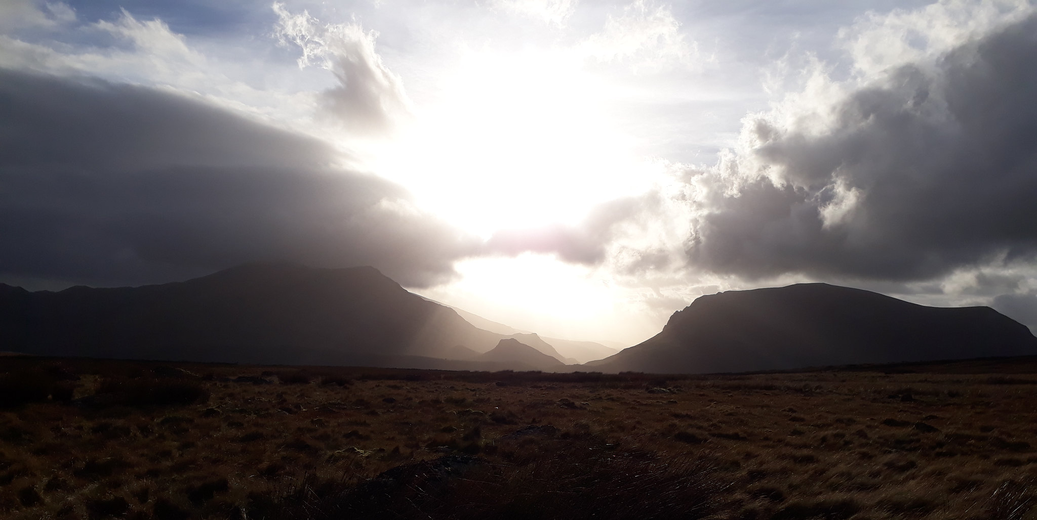
Image20171012_171935. .... except that I keep having to stop to admire the vista of the sun setting behind the Nantlle Ridge.

Image20171012_172041. Looking back at the descent, Moel Cynghorion on the LHS, Cwm Clogwyn just right of centre with Yr Wyddfa in cloud behind.

Image20171012_173101. As I near the car, a final look back at the ridge ....
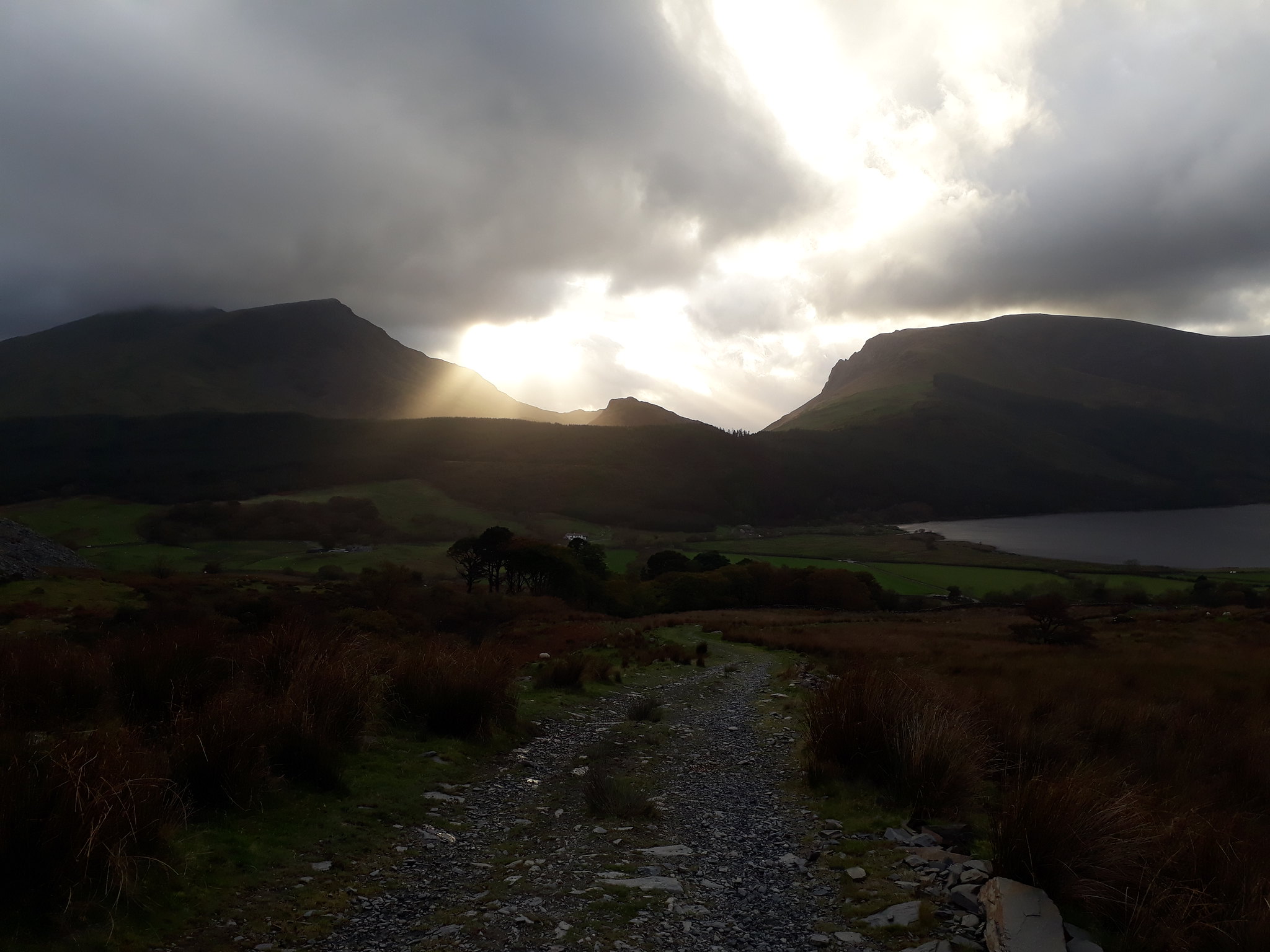
Image20171012_173104. ... and the phenomenal sunset (Y Garn LHS, Mynydd Mawr RHS).
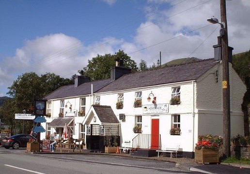
Image. The weather hasn't been too warm, and I've managed to source sufficient water from streams on the way; but as usual, being acutely conscious of the perils of insensible moisture loss and the medical imperative of making good such loss, I pause briefly at an establishment of cultural, historical and architectural distinction for that purpose....
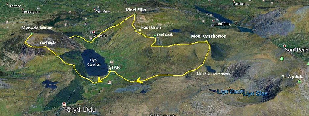
Image3D view of route.
Last edited by Alteknacker on Sun Jul 21, 2019 11:00 pm, edited 1 time in total.
User avatar
Alteknacker
Scrambler
 
Posts: 3473
Munros:176   Corbetts:33
Fionas:1   
Hewitts:264
Wainwrights:118   
Joined: May 25, 2013
Location: Effete South (of WIgan, anyway)

Re: A short walk in the foothills of Snowdonia

Postby Broggy1 » Sun Oct 15, 2017 6:29 pm

That's a great walk of some character. :clap:

Loved the Moel Ellio ridge when I did it, just proper ridgewalking (none of this ascend/ descend/re-ascend nonsense we do nowadays to link up hills! :shock: )

There's a lot of water on the hills at the moment. I was in the Dales yesterday and couldn't believe what was pouring down Gaping Gill.

Again thanks for sharing this walk of hills I remember fondly. The Yr Eifl hills on the coast look great. Hope I get round to them one day.
User avatar
Broggy1
Mountain Walker
 
Posts: 1179
Munros:111   Corbetts:19
Fionas:5   Donalds:20+7
Sub 2000:8   Hewitts:274
Wainwrights:214   Islands:1
Joined: Jul 22, 2013

Re: A short walk in the foothills of Snowdonia

Postby malky_c » Sun Oct 15, 2017 6:37 pm

Short walk for you anyway :wink: .

Mynydd Mawr is a great little hill, but it has never occurred to me to link it to anything else. I have to admit to taking this 'both sides of the valley' approach with some of the other Welsh hills more recently though - the years of 'proper' hillwalking in Scotland must've changed my outlook on route planning :lol: .
User avatar
malky_c
 
Posts: 6347
Munros:282   Corbetts:222
Fionas:219   Donalds:80+37
Sub 2000:315   Hewitts:281
Wainwrights:140   Islands:39
Joined: Nov 22, 2009
Location: Glasgow/Inverness

Re: A short walk in the foothills of Snowdonia

Postby trailmasher » Mon Oct 16, 2017 1:25 pm

Oh! that looks a good 'un :clap: Short walk but big height gain 8) Great report and pics, well done on a 'short' day out :clap:
User avatar
trailmasher
Mountaineer
 
Posts: 1302
Munros:13   
Hewitts:179
Wainwrights:214   
Joined: Nov 26, 2014
Location: Near Appleby - Cumbria

Re: A short walk in the foothills of Snowdonia

Postby Mal Grey » Mon Oct 16, 2017 7:41 pm

Nice. I've done the ridge of the latter part of your circuit as an alternative approach to a traverse of Snowdon, many many years ago. Never been on Mynnyd Mawr though. That on its own is what I would call a "short walk" :lol:
User avatar
Mal Grey
Wanderer
 
Posts: 4635
Munros:113   Corbetts:23
Fionas:12   
Sub 2000:9   Hewitts:116
Wainwrights:71   Islands:6
Joined: Dec 1, 2011
Location: Surrey, probably in a canoe! www.wildernessisastateofmind.co.uk

Re: A short walk in the foothills of Snowdonia

Postby arjh » Mon Oct 16, 2017 8:05 pm

Heh, I seem to be following in your footsteps - last month I went round Creigiau Gleision & Pen Llithrig y Wrach a short while after you did. Guess what I have planned for November for my no. 159 (halfway Hewitt)? Mynydd Mawr...

Will be saving the other three for a big traverse though. The Snowdon Sherpa on the Beddgelert-Caernarfon route stops conveniently so I'm planning Waunfawr - Moel Eilio - Foel Gron - Moel Cynghorion - Snowdon - Yr Aran - Rhyd Ddu with the bus at each end. Your photos have whet the appetite nicely! :thumbup:
User avatar
arjh
Wanderer
 
Posts: 157
Munros:116   Corbetts:27
Fionas:14   Donalds:13+8
Sub 2000:11   Hewitts:316
Wainwrights:187   Islands:6
Joined: Sep 5, 2015
Location: Sussex

Re: A short walk in the foothills of Snowdonia

Postby Alteknacker » Mon Oct 16, 2017 9:52 pm

Broggy1 wrote:That's a great walk of some character. :clap:

Loved the Moel Ellio ridge when I did it, just proper ridgewalking (none of this ascend/ descend/re-ascend nonsense we do nowadays to link up hills! :shock: )

There's a lot of water on the hills at the moment. I was in the Dales yesterday and couldn't believe what was pouring down Gaping Gill.

Again thanks for sharing this walk of hills I remember fondly. The Yr Eifl hills on the coast look great. Hope I get round to them one day.


Yes, it looked like it had plenty of character from the map, and certainly lived up to the promise. I was particularly blown away (literally, by the wind!!!) by the views of the Welsh 3000ers. The pics just haven't captured how it was, but it's still freshly imprinted on my memory :D . If I'd had more time I'd have added Yr Wyddfa and Yr Aran too: that ascent of Clogwen Du'r Arddu looks brilliant, as would no doubt the descent down Clogwyn Du to Yr Aran. Got that planned with my brother in the next few weeks :D .

Ref Yr EIfl group: yes, they sure looked atmospheric on this particular day. I probably took about 30 pics looking WSW at them as they took on different moods during the course of the afternoon.

malky_c wrote:Short walk for you anyway :wink: .

Mynydd Mawr is a great little hill, but it has never occurred to me to link it to anything else. I have to admit to taking this 'both sides of the valley' approach with some of the other Welsh hills more recently though - the years of 'proper' hillwalking in Scotland must've changed my outlook on route planning :lol: .


Short = afternoon only (with a nod to Eric Newby :) ). I often link ridges just to create a full day's walking and at the same time create a round that doesn't involve a bike section.

But I seem to recall quite a few "both sides of the valley" trips you've done - eg the one that included the Arans and Dyfi groups....???

PS will you be joining the WH November meet at Spean Bridge?
User avatar
Alteknacker
Scrambler
 
Posts: 3473
Munros:176   Corbetts:33
Fionas:1   
Hewitts:264
Wainwrights:118   
Joined: May 25, 2013
Location: Effete South (of WIgan, anyway)

Re: A short walk in the foothills of Snowdonia

Postby dav2930 » Fri Oct 20, 2017 9:53 pm

That's a nice shot of Cloggy from an unusual angle; brings back memories! Looks a great round of very nice hills (surely you must have run most of it to get round in that time? :shock: :clap: ) Love the shot of the river with emerging hand not waving but drowning :lol:
User avatar
dav2930
Ambler
 
Posts: 1619
Munros:244   Corbetts:14
Fionas:18   Donalds:56
Sub 2000:1   Hewitts:164
Wainwrights:214   Islands:2
Joined: Feb 13, 2015
Location: Cumbria

Re: A short walk in the foothills of Snowdonia

Postby Alteknacker » Tue Oct 24, 2017 9:12 am

dav2930 wrote:That's a nice shot of Cloggy from an unusual angle; brings back memories! Looks a great round of very nice hills (surely you must have run most of it to get round in that time? :shock: :clap: ) Love the shot of the river with emerging hand not waving but drowning :lol:


In retrospect I'm puzzled as to why I never walked or scrambled in either of the Cloggy areas, given the number of times I've been up Snowdon and environs over the years. It looks fabulous, and I plan to go back shortly. I imagine you've done a lot of the climbing routes...???

Ref time: It was quite a short walk, on good terrain, so I was moving fairly quickly anyway, but, yes, I did jog down some of the hills where the terrain permitted :D .
User avatar
Alteknacker
Scrambler
 
Posts: 3473
Munros:176   Corbetts:33
Fionas:1   
Hewitts:264
Wainwrights:118   
Joined: May 25, 2013
Location: Effete South (of WIgan, anyway)

Re: A short walk in the foothills of Snowdonia

Postby malky_c » Tue Oct 24, 2017 9:39 am

Alteknacker wrote:But I seem to recall quite a few "both sides of the valley" trips you've done - eg the one that included the Arans and Dyfi groups....???

PS will you be joining the WH November meet at Spean Bridge?


I didn't really post that very clearly - almost all of the Welsh walk reports I have posted here were done between 2011 and 2012 when I was working in Shropshire briefly. I consider that 'recent' compared to what I did in the 1990s when I was still living with my parents. So the reports you have seen were from when I was applying a more 'Scottish' criteria to my days out. Mostly on hills I hadn't been up before though.

Dunno about the meet yet - I was pretty sure I would be there but I might not be around now...will have to wait and see!
User avatar
malky_c
 
Posts: 6347
Munros:282   Corbetts:222
Fionas:219   Donalds:80+37
Sub 2000:315   Hewitts:281
Wainwrights:140   Islands:39
Joined: Nov 22, 2009
Location: Glasgow/Inverness

Re: A short walk in the foothills of Snowdonia

Postby dav2930 » Wed Oct 25, 2017 6:37 pm

Alteknacker wrote:
dav2930 wrote:That's a nice shot of Cloggy from an unusual angle; brings back memories! Looks a great round of very nice hills (surely you must have run most of it to get round in that time? :shock: :clap: ) Love the shot of the river with emerging hand not waving but drowning :lol:


In retrospect I'm puzzled as to why I never walked or scrambled in either of the Cloggy areas, given the number of times I've been up Snowdon and environs over the years. It looks fabulous, and I plan to go back shortly. I imagine you've done a lot of the climbing routes...???

Considering the number of climbs there are on Cloggy I haven't done many at all - only two, Great Slab and White Slab. But both were very memorable days, especially White Slab, which has to be one of the best climbs I've done in the UK. We always had an eye on Cloggy when we climbed in Wales, but like Scafell Crag in the Lakes, it doesn't often come into condition (well that's my excuse anyway :lol: ).
User avatar
dav2930
Ambler
 
Posts: 1619
Munros:244   Corbetts:14
Fionas:18   Donalds:56
Sub 2000:1   Hewitts:164
Wainwrights:214   Islands:2
Joined: Feb 13, 2015
Location: Cumbria

3 people think this report is great.
Register or Login
free to be able to rate and comment on reports (as well as access 1:25000 mapping).


Can you help support Walkhighlands?


Our forum is free from adverts - your generosity keeps it running.
Can you help support Walkhighlands and this community by donating by direct debit?


Return to Walk reports - Outside Scotland

Who is online

Users browsing this forum: No registered users and 25 guests