free to be able to rate and comment on reports (as well as access 1:25000 mapping).
My second week of holiday - the one that had been planned for the Cape Wrath Trail - thankfully cancelled in light of the dreadful stormy weather. I had decided to go and stay with my brother and his family up near Thurso for a few days before joining Allison in Kintail for the weekend. Spent the Tuesday driving up - nearly stopped off at Lynbeg to climb a very quick Graham, but decided I better not. When I arrived I found my brother off work with a bad throat infection - not what he needed! I'd hoped to get him out on the hills somewhere during my stay, but not in his current condition. We did manage a walk up to Strathy Point where the waves crashed on the jagged rocky shoreline with such violence that clumps of foam rose high into the air and drifted down like foam snow.
On the Thursday of my visit I had intended to head to Braemore and climb Maiden Pap and Morven. After my bro decided he wasn't well enough for that i set off myself, arriving around 11. Got changed into my kit, prepared to set off and then discovered a notice asking hillwalkers to "return on Sundays until the 20th October due to stalking". Not entirely unexpected - I did think about just doing Maiden Pap from the track, which I didn't think would be likely to interfere with any stalking, but decided against that. At something of a loss i drove back to Dunbeath, thinking I'd go for a walk along the beach - noticed a route by the mill along the Strath that seemed of some interest. i needed a walk somewhere.
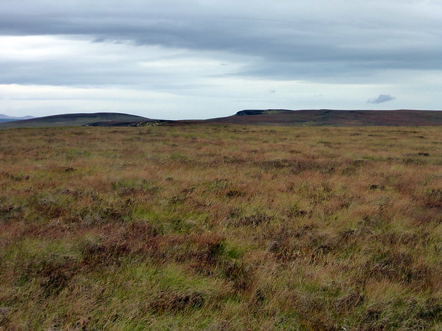
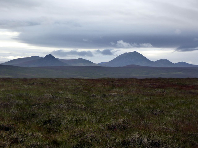
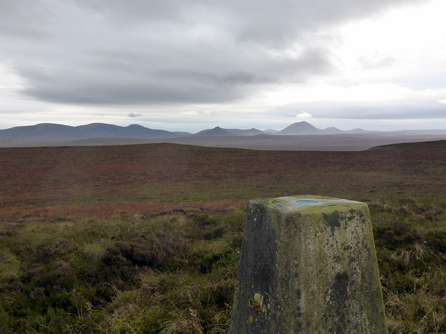
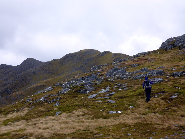
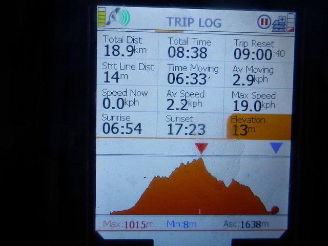
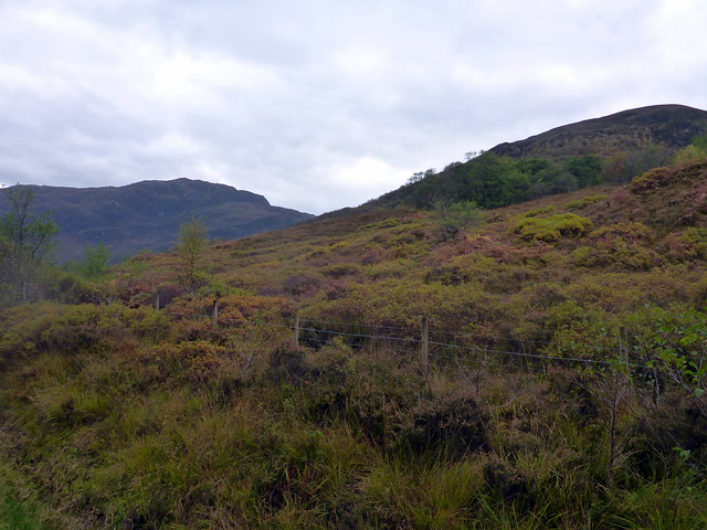
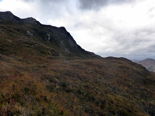
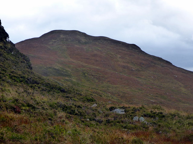
The route follows the Dunbeath Water along to the remains of a broch, then continues through Loedebest wood to a white walled cemetery that features in Neill Gunn's "Highland River". There are also a number of standing stones and chambered cairn remnants to see. A pleasant walk along the riverside, I stopped on a bench for lunch then walked on, mostly on track to the cemetery, which was locked. Unusual - maybe they have a problem with zombies up here. I noticed a trig point on a hill about 3km north and decided I'd just walk that way - hadn't seen any stalking activity in this area. I walked over increasingly boggy ground, initially over Cnoc Fuarain then to Cnocan Conachreag, which turns out to be a Hump. Good views SW to Morven and the Scarabens. I returned over Cnoc na Mairanaich, decorated with a large cairn and several chambered carin remnants. There are so many prehistoric remains in Caithness that one would need several lifetimes to explore them. back on the track and along the riverside to the car - almost 20km for a Hump - that, i think is dedication

Dunbeath Broch
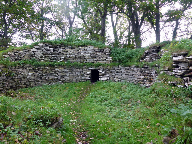 P1170763
 by
Al, on Flickr
Lichen
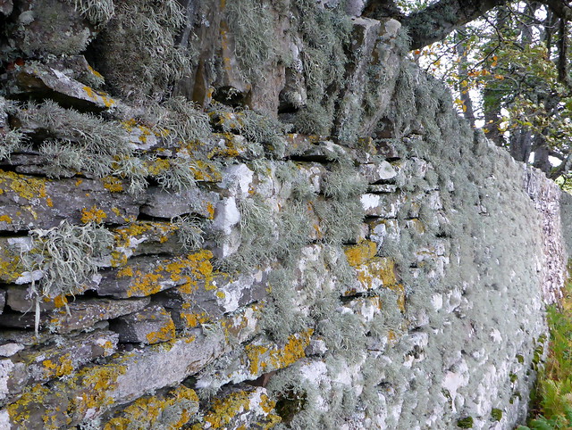 P1170764
 by
Al, on Flickr
Dunbeath water
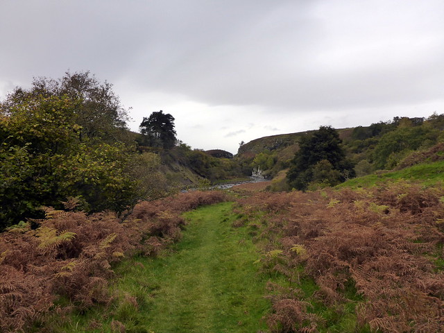 P1170765
 by
Al, on Flickr
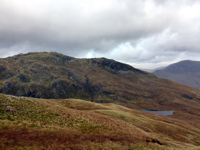
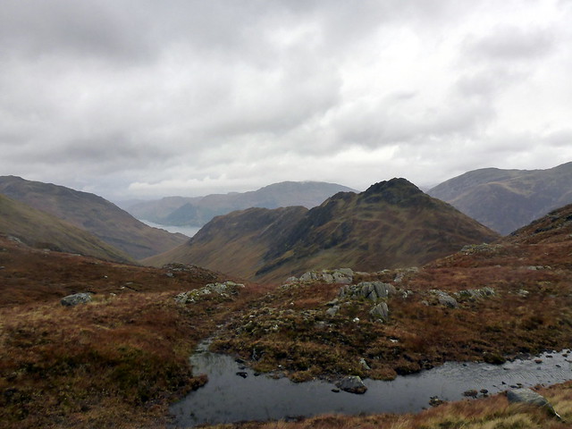
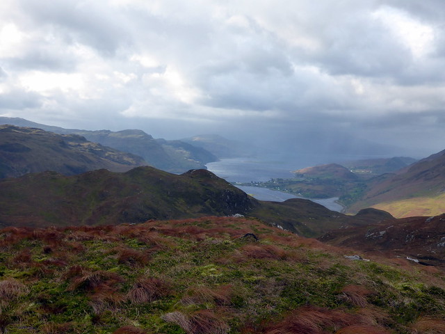
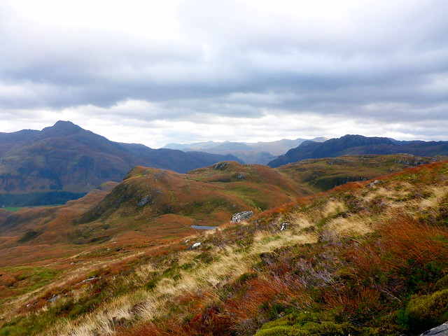
The Scarabens
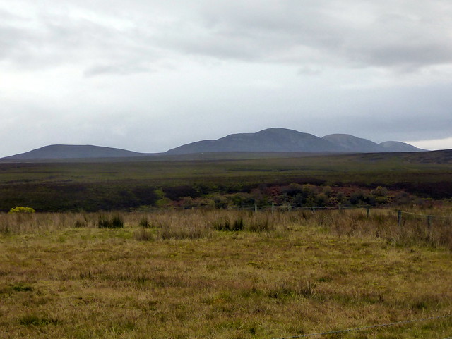 P1170766
 by
Al, on Flickr
Cnocan Conachreag
 P1170770
 by
Al, on Flickr
Morven, Maiden Pap
 P1170772
 by
Al, on Flickr
Summit
 P1170776
 by
Al, on Flickr
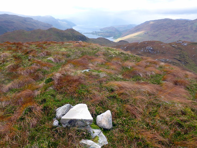
Cnoc na Mairanaich,
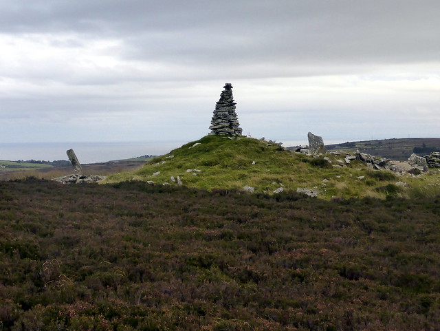 P1170779
 by
Al, on Flickr
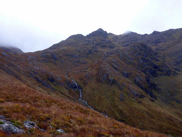
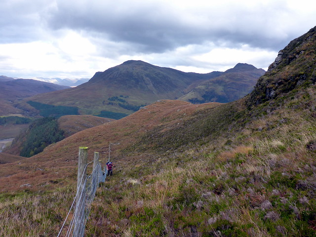
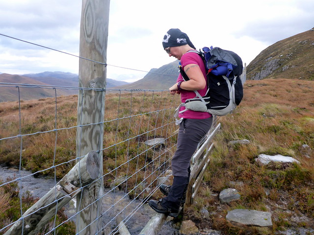
Friday I left early and drove down to Kintail, having arranged to meet Allison and Craig at lunchtime with the intention of climbing A'Chralaig and its top - maybe continuing to Mullach Fraoch Choire if conditions and time allowed. Allison had endured a rotten fortnight of weather in Torridon and Kintail, with only 1 hill day in the 2 weeks. I was a little surprised to find that it wasn't raining as the forecast suggested it would be, although the winds were strong even at ground level. We set off up A'Chralaig taking the usual soggy path. The wind became more of a concern after we'd achieved the shoulder of the hill, and by 800m it was clear that we'd be going no further - it was virtually impossible to walk and the southwesterly wind was pushing us towards the edge. Having another 200m ascent to the summit we turned tail. I did think briefly about contouring down into Choire a' Chait and reaching the Top of a'Chioch from there, but it would have been pretty miserable work, if more sheltered from the wind. We descended.
Am Bathach
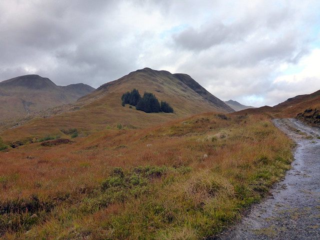 P1170781
 by
Al, on Flickr
 P1170782
 by
Al, on Flickr
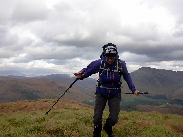
Near the point of giving up!
 P1170783
 by
Al, on Flickr
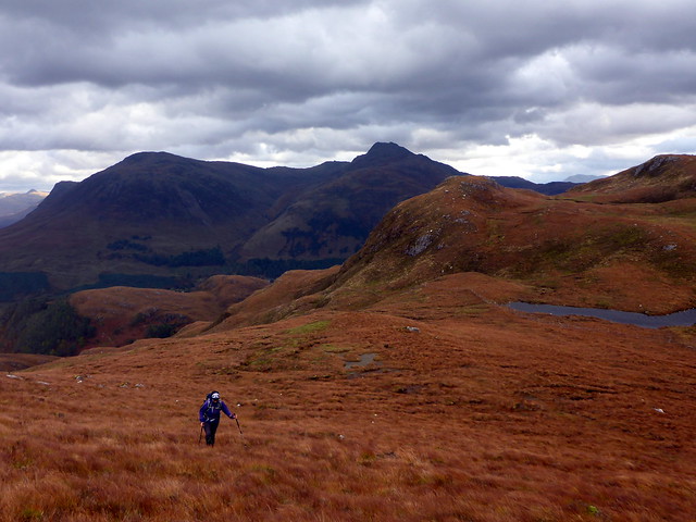
Saturday's forecast was somewhat better for wind, according to MWF - I'd hoped we might get the 2 tops on The Saddle done, with a return over Biod nam Fhithich. Windspeed was moderate in the morning - 55kph and dropping to a light breeze of 30kph in the afternoon according to the forecast - worth a punt then. We drove from Allison's holiday cottage to Shiel Bridge campsite, put the tent up in case it was raining on our return and set off about 10am.
I'd wanted to do this route for some time; last time i did the Tops on The Saddle i dropped down into Coire Uaine - Biod nam Fhithich is a great Graham to walk over, so the route was a satisfying one (even better if you include the Corbett Sgurr Mhic Bharraich - and one of those walks that you could do a triple completion - Munro, Corbett, Graham on if you had the foresight). We met a couple also staying at the campsite who were doing Mhic Bharraich as we walked along the track in Gleann Undalain. Up to the beginning of the horseshoe to the line of unruly knobbles that make up Sgurr a'Gharg Gharraidh. The wind was still considerable as we got to 600m - i was dubios that we'd get round the ridge in these conditions. I reckoned we should make the first Top of Sgurr Leac nan Each which i recalled as quite flat and broad, but beyond that I remembered narrow sections. I was not happy at the prospect of another day's failure however.
Gleann Undalain
 P1170786
 by
Al, on Flickr
Sgurr Mhic Bharraich
 P1170790
 by
Al, on Flickr
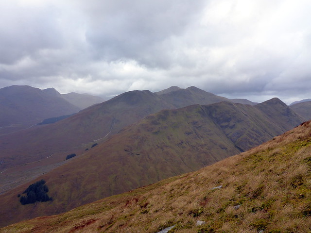
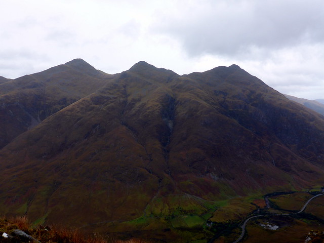
Biod nam Fhithich with the Sisters behind
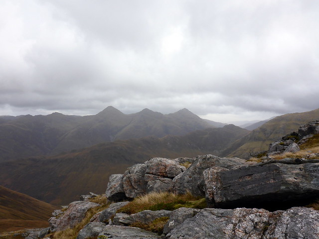 P1170791
 by
Al, on Flickr
Our way ahead
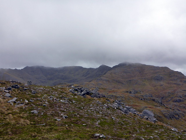 P1170792
 by
Al, on Flickr
 P1170794
 by
Al, on Flickr
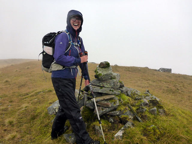
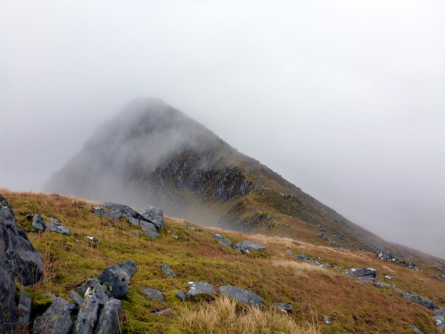
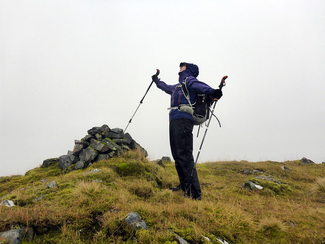
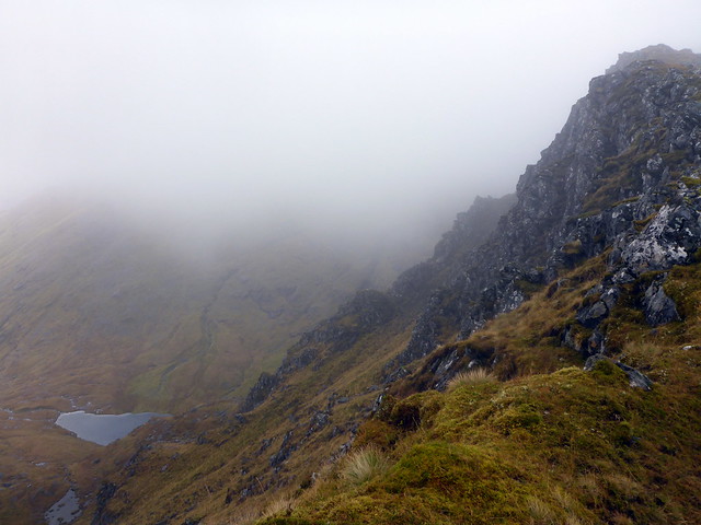
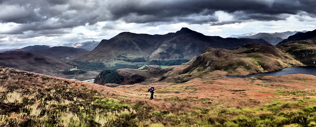
After a series of ups and downs (all those Simms!) we made it to Sgurr Leac nan Each - Allison celebrated her first "new" summit in her fortnight's holiday. The next top rose into mist and looked a little iffy although I reckoned it would be possible to keep to the southern aspect and avoid being hurtled to death into Coire Uaine. We made that too. The wind did appear to have dropped considerably - or perhaps the airflow was disrupted by other hills. After a quick consultation we decided to continue onto the ridge to the summit of the Saddle. I remembered this as being narrow in places, though clag on the last occasion I'd come this way had been thick enough to obscure any exposure. Although the clag was with us, the drops were more visible this time and we proceeded with appropriate caution. it really is a cracking ridge this one, well worth exploring.
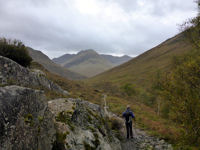
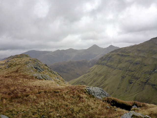
Towards Sgurr Leac nan Each
 P1170795
 by
Al, on Flickr
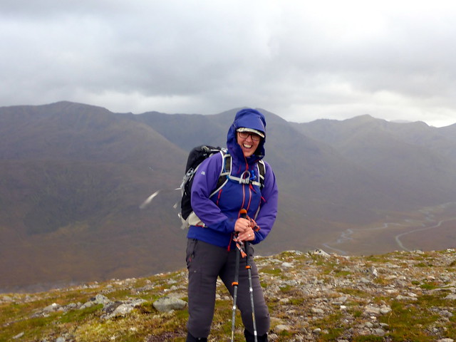
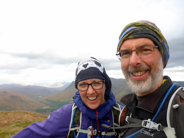
A look of joy at getting a new hilltop!
 P1170796
 by
Al, on Flickr
On to Spidean Dhomhill Bhric
 P1170797
 by
Al, on Flickr
 P1170798
 by
Al, on Flickr
Down to Coire Uaine
 P1170799
 by
Al, on Flickr
Gets a bit narrow here
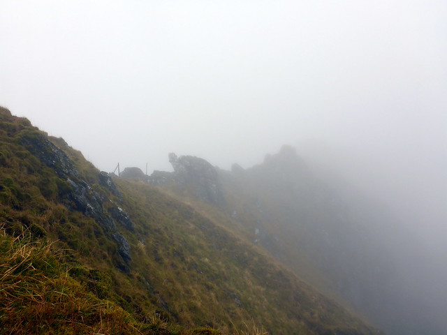 P1170800
 by
Al, on Flickr
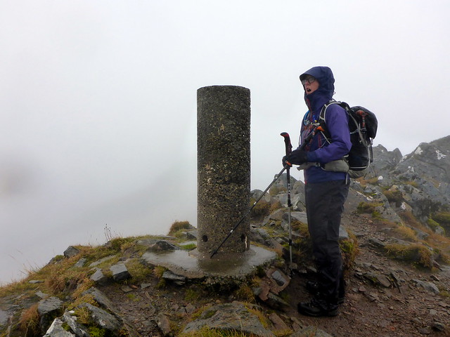
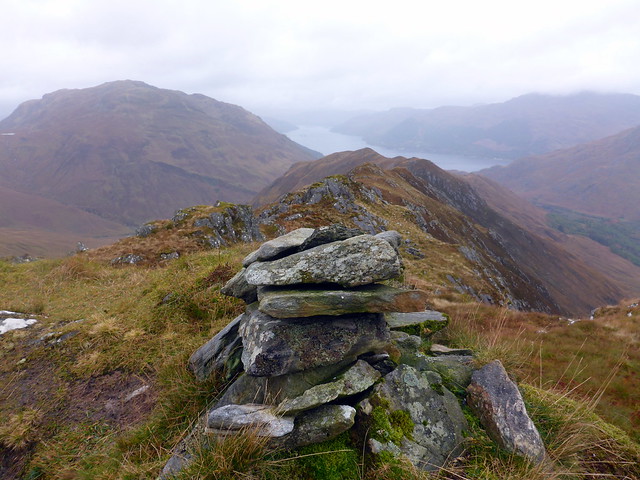
Saddle Trig summit
 P1170802
 by
Al, on Flickr
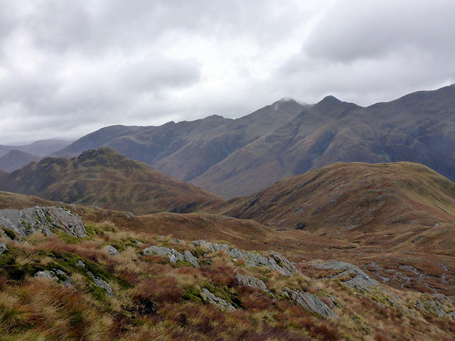
Having reached the trig point we decided against descent by means of the Forcan Ridge - partly due to conditions, partly due to time as it was already gone 3pm. We dropped down into Coire Mhalagain and made for the wall that marks the bypass along under the Forcan Ridge. Slippy wet rock and watery pools - I bashed my ankle bone which led to some cursing. Before too long we could see Meall Odhar and Biod nam Fhithich before us. A group of hinds stood watching me without moving - I was really quite close to them. Down to the bealach with Biod nam Fhithcih and an easy 160m pull up to the rocky summit. Good views across the glen to the Sisters - last time we'd been here - after last year's Kintail Meet - clag had obscured the summits, so good to have some sights today. Then down along the humpy back of the hill. Time was indeed getting on - it was after 6.30 when we reached the campsite. A long but enjoyable day - food very welcome when it arrived.
Meall Odhar & Fhithich
 P1170804
 by
Al, on Flickr
Fhithich
 P1170805
 by
Al, on Flickr
Sgurr nan Forcan
 P1170810
 by
Al, on Flickr
Fhithich summit
 P1170811
 by
Al, on Flickr
Sisters
 P1170812
 by
Al, on Flickr
 P1170814
 by
Al, on Flickr
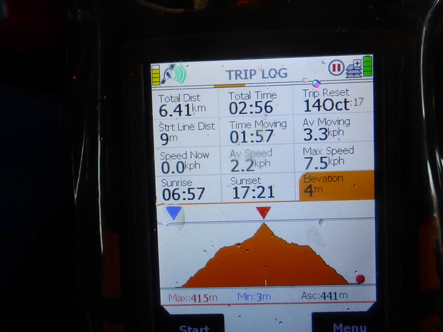
The forecast for Sunday was for more high winds. Rain fell heavily and steadily through the night, and we could hear the trees being savaged by the wind as we lay in bed. A day for a smaller hill, thought I. Beinn Mheadhoin, a Marilyn overlooking Loch Long would make a suitable candidate, being a mere 441m and not involving any ridges. We drove back round to Camas Lunie, parked by the bridge and set off through a gate into an unpromising field of scrub and bog. However we did pick up an ATV track that led us to gates in the deer fence and followed a deer track along the side of the fence towards Loch Beinn a'Mheadhoin. Good views to the east, Sguman Cointich/Ben Kilillan and beyond to Beinn Dronaig and the outline of Lurg Mhor. Up a grassy slope to the summit of Mheadhoin, the wind still a considerable presence even at this lowly height. We could look down towards Allt nan Sugh at the cottage Allison and Craig had for the week. Weather was coming in from the south as we sat having lunch so we elected to return the same way. A short but enjoyable day.
Start of the walk
 P1170815
 by
Al, on Flickr
 P1170816
 by
Al, on Flickr
deer fence line
 P1170817
 by
Al, on Flickr
Mheadhoin
 P1170819
 by
Al, on Flickr
Killilan/ Coinntich in backdrop
 P1170820
 by
Al, on Flickr
 P1170822
 by
Al, on Flickr
 P1170823
 by
Al, on Flickr
 P1170825
 by
Al, on Flickr
Summit Mheadhoin, looking down Loch Duich
 P1170826
 by
Al, on Flickr
Weather coming in
 P1170828
 by
Al, on Flickr
Still windy!!
 P1170829
 by
Al, on Flickr
 P1170830
 by
Al, on Flickr
View east
 P1170833
 by
Al, on Flickr
 P1170837
 by
Al, on Flickr
